Javascript Is Required To Use This Page

Chama

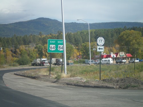
End NM-17 South at US-64/US-84

End NM-17 South at US-64/US-84

NM-17 South approaching US-64/US-84 in Chama.

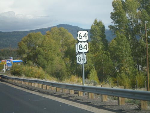
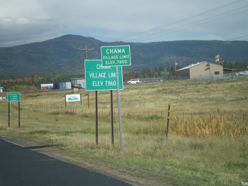
US-64 East/US-84 South - Village of Chama

US-64 East/US-84 South - Village of Chama

US-64 East/US-84 South - Village of Chama (Elevation 7800 Feet).
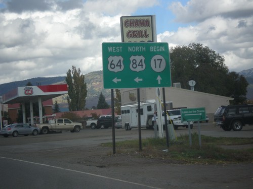
US-64 West/US-84 North at NM-17

US-64 West/US-84 North at NM-17

US-64 West/US-84 north at NM-17 in Chama. Turn left to continue west on US-64/US-84.
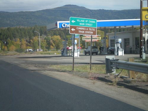
US-84 South/US-64 East at NM-17

US-84 South/US-64 East at NM-17

US-84 South/US-64 East at NM-17. Use NM-17 north for Village of Chama Main St. and Cumbres and Toltec Train Station
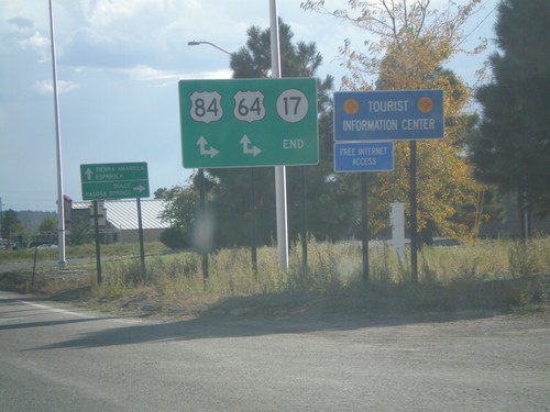
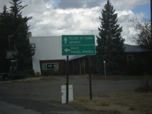
US-64 West/US-84 North Approaching NM-17

US-64 West/US-84 North Approaching NM-17

US-64 West/US-84 North approaching NM-17. Use NM-17 for the Village of Chama and Antonito (Colorado). Turn left to continue west on US-64/US-84 towards Dulce and Pagosa Springs (Colorado).

End NM-17 South at US-64/US-84

End NM-17 South at US-64/US-84

End NM-17 South at US-64/US-84 in Chama. Turn right for US-64 West/US-84 North to Dulce and Pagosa Springs (Colorado); continue ahead for US-64 East/US-84 South to Tierra Amarilla and EspaƱola.

US-84 South/US-64 East at NM-17

US-84 South/US-64 East at NM-17

US-84 South/US-64 East at NM-17 in Chama. Turn right to continue on US-84 South/US-64 East; turn left for NM-17.

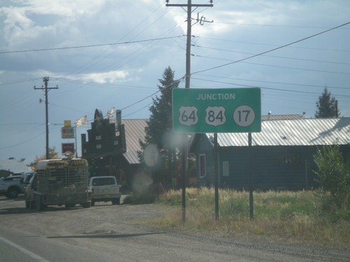
US-64/US-84 in Chama

US-64/US-84 in Chama

US-64/US-84 in Chama. There were two sets of every sign when this picture was taken between US-64/US-84 junction west of here into Chama. There was road construction and it appears new signs were part of the project.