
State Route 136
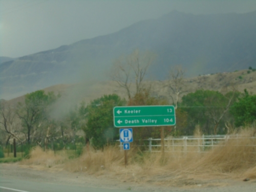
US-395 South at CA-136
US-395 south at CA-136 east to Keeler and Death Valley.
US-395 North at CA-136 East
US-395 North at CA-136 East on the south side of Lone Pine. CA-136 heads east across the north and east edges of dry Owens Lake to CA-190 junction.
US-395 North at CA-136 (To CA-190)
US-395 north at CA-136 north to CA-190. Use CA-136 east for Death Valley. The logo at the bottom of the sign, with the number 20 written on it, is for the Eastern Sierra Scenic Byway. Site number 20 refers to the Highest to Lowest and Desert’s Edge interpretive site.
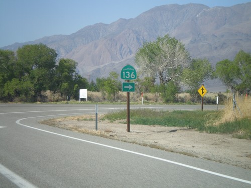
US-395 North Approaching CA-136
US-395 north approaching CA-136 east to Death Valley.
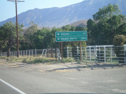
US-395 South at CA-136
US-395 south at CA-136 east to Keeler and Death Valley.
US-395 South Approaching CA-136
US-395 south approaching CA-136 junction. Use CA-136 east to Death Valley.
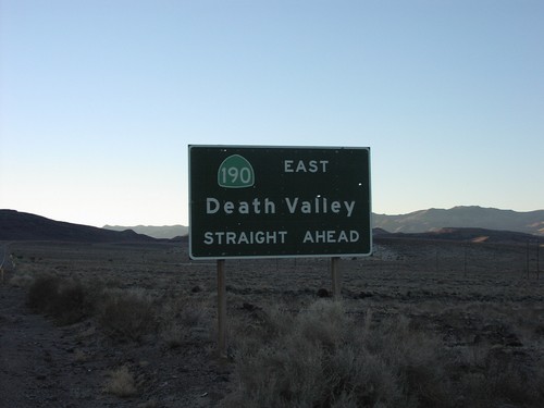
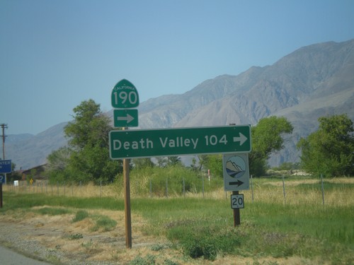
CA-136 East at CA-190
CA-190 to Death Valley, straight ahead. Eastern end of CA-136
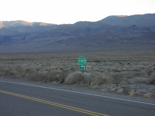
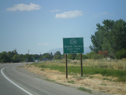
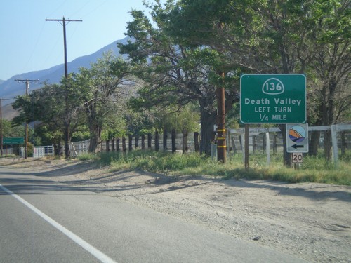
CA-190 West at CA-136 Jct.
CA-190 west left turn at CA-136
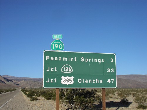
CA-190 West Distance Marker
CA-190 west to Panamint Springs, CA-136, and US-395 (Olancha), just west of Trona/Ridgecrest junction.
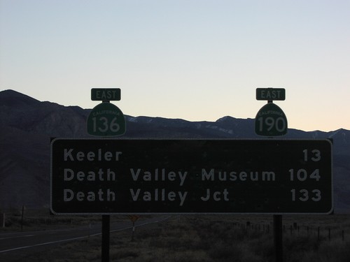
Distance Marker on CA-136 East
CA-136 east to Keeler, Death Valley Museum, and Death Valley Junction.
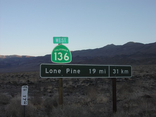
Distance Marker on CA-136 West
CA-136 west to Lone Pine in standard and metric. Taken west of CA-190 junction.
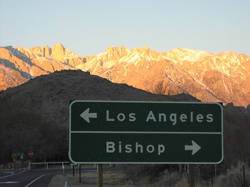
End CA-136 West at US-395
Western end of CA-136 at US-395 to Bishop and Los Angeles. Above is a sunrise over Mt. Whitney.