Blythe, California
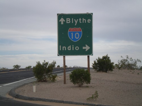
Wileys Well Road at I-10
Wileys Well Road at I-10 (Exit 222). Use I-10 west for Indio. Use I-10 east for Blythe.
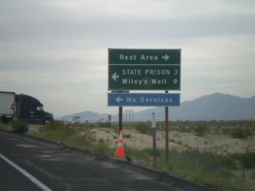
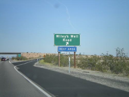
I-10 West - Exit 222 Offramp
I-10 west at Exit 222 offramp - Wiley’s Well. Turn south for Wiley’s Well Road, north for Rest Area.
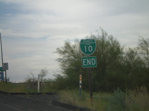
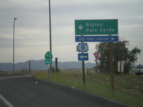
End I-10 Business at I-10 and CA-78
Western end of I-10 Blythe business loop at I-10 on Neighbors Blvd. Neighbors Blvd. continues south as CA-78.
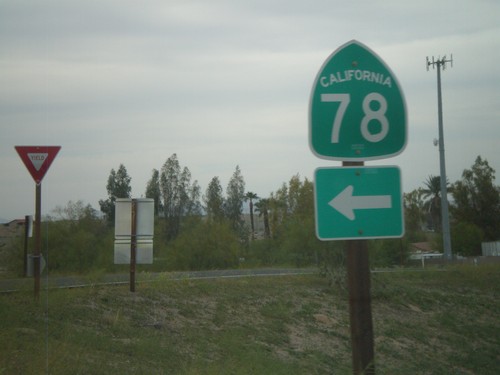
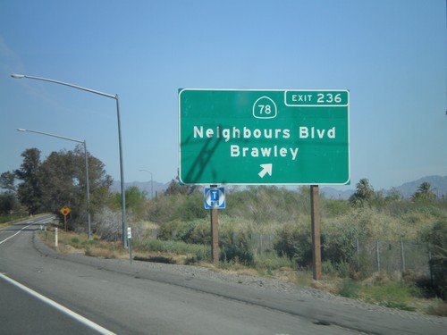
I-10 West Exit 236 Offramp at CA-78
I-10 west Exit 236 offramp at CA-78. CA-78 heads southwest to the Imperial Valley and eventually Oceanside. This is also the western end of the Blythe I-10 Business Loop.
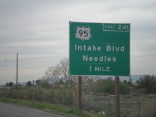
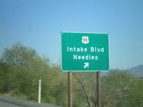
I-10 West Approaching Exit 241
I-10 west approaching Exit 241 - US-95/Intake Blvd/Needles. US-95 north leaves I-10 here. US-95 south joins I-10 east to Quartzsite, AZ.
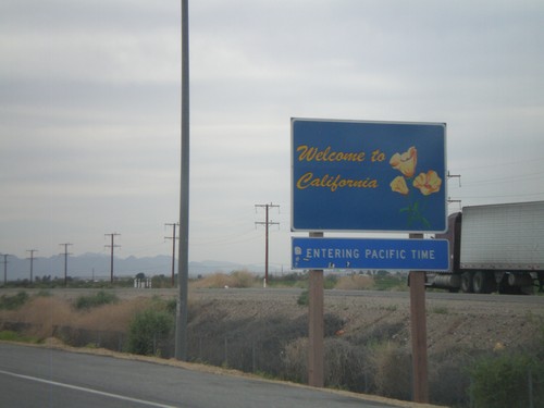
I-10 West - Welcome To California
Welcome to California on I-10 West/US-95 north, just west of the California State Agricultural Inspection Station. Entering Pacific Time Zone.
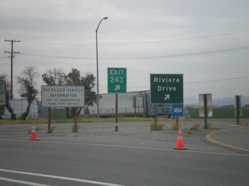
I-10 West - Exit 243
I-10 west at Exit 243 - Riviera Drive. Taken upon leaving the California State Agricultural Inspection Station.
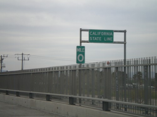
I-10 West - California State Line
California State Line on I-10 west crossing the Colorado River, at the Arizona-California Border.
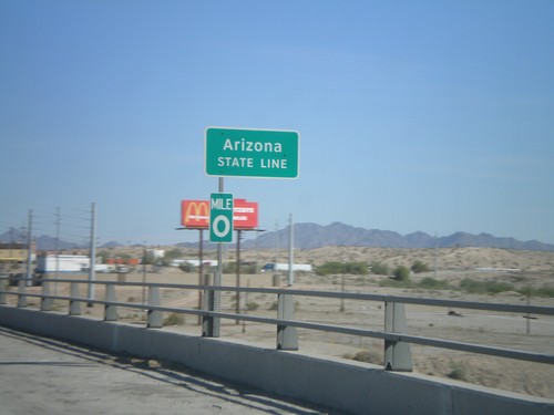
I-10 East - Arizona State Line
Arizona State Line on I-10 east on the Colorado River bridge. Mile 0 marker is attached to the sign.
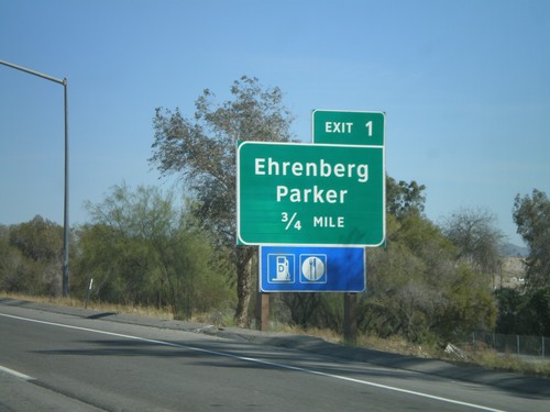
I-10 East - Arizona Exit 1
I-10 East approaching Arizona Exit 1 - Ehrenberg/Parker. Taken before the Colorado River bridge. The sign appears to be placed by Arizona DOT.
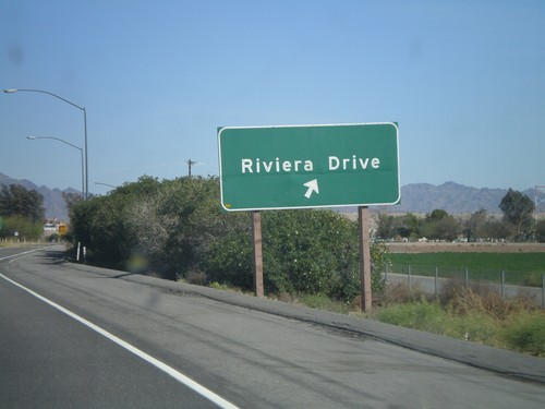
I-10 East - Exit 243
I-10 east at Exit 243 - Riviera Drive. This is the last exit in California on I-10.
