South Lake Tahoe, California
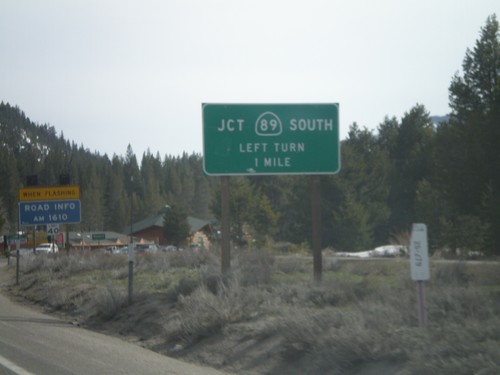
US-50 West/CA-89 South at US-50/CA-89 Split
US-50 West/CA-89 south at US-50/CA-89 split roundabout.
US-50 West/CA-89 South Approaching CA-89
US-50 west/CA-89 south approaching CA-89/US-50 split.
US-50 West/CA-89 South - South Lake Tahoe
US-50 West/CA-89 South in South Lake Tahoe at B St.
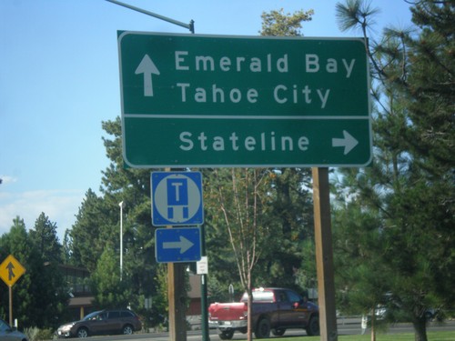
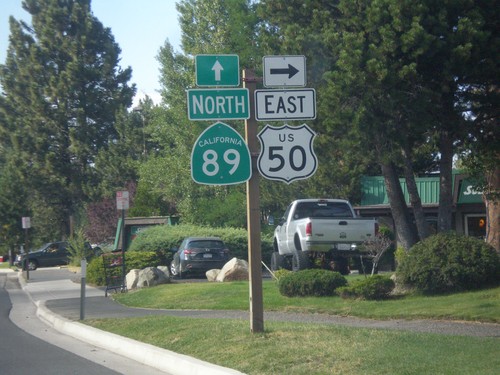
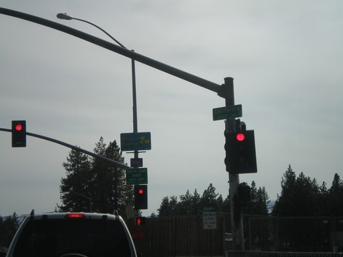
US-50 East/CA-89 North at US-50/CA-89 Split
US-50 East/CA-89 North at US-50/CA-89 split. Turn right to continue east on US-50 for Stateline (Nevada); continue north on CA-89 for Emerald Bay and Tahoe City.
US-50 East/CA-89 North at US-50/CA-89 Split
US-50 East/CA-89 North at US-50/CA-89 Split in South Lake Tahoe. Turn right to continue east on US-50.
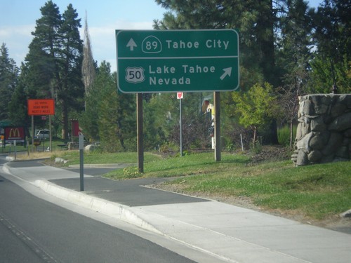
US-50 East/CA-89 North Approaching Split
US-50 East/CA-89 North Approaching US-50/CA-89 split. Merge right for US-50 east to Lake Tahoe Nevada; continue straight for CA-89 north to Tahoe City.
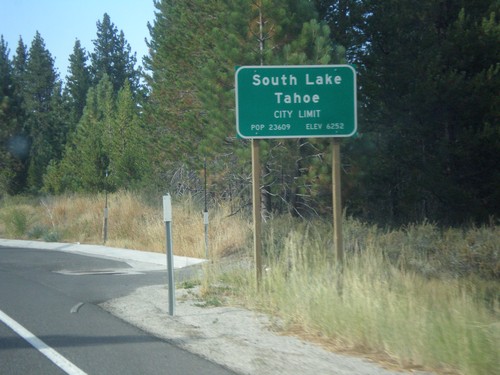
US-50 East - South Lake Tahoe
South Lake Tahoe City Limit on US-50 eastbound.
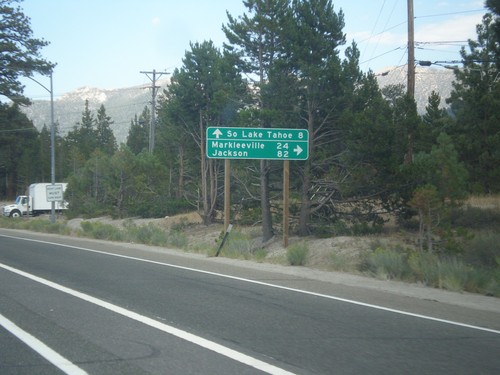
US-50 East At CA-89
US-50 east at CA-89 south to Markleeville and Jackson (via CA-88). Continue straight ahead for US-50 East/CA-89 north to South Lake Tahoe.
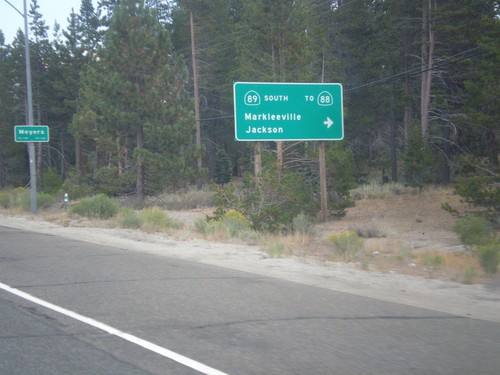
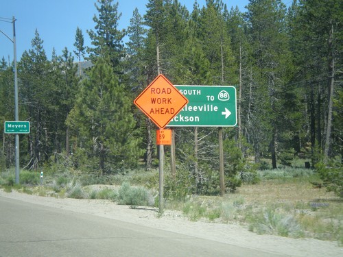
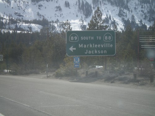
US-50 East At CA-89 South
US-50 east at CA-89 south/Markleeville/Jackson to CA-88. CA-89 north joins US-50 east to South Lake Tahoe. Entering Meyers.
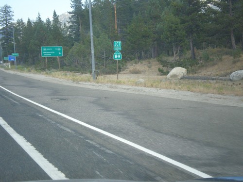
US-50 East at CA-89 Junction
US-50 East at CA-89 Junction in Meyers.
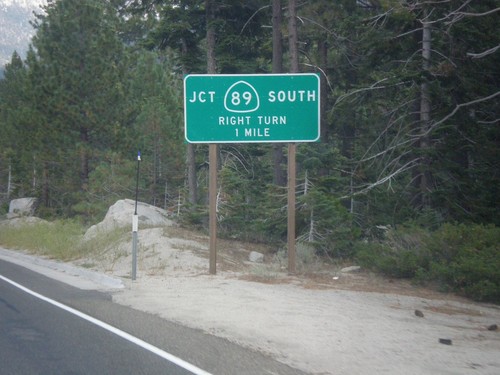
US-50 East at CA-89
US-50 east at CA-89. Turn right for CA-89 south. CA-89 north joins US-50 eastbound to South Lake Tahoe.
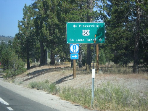
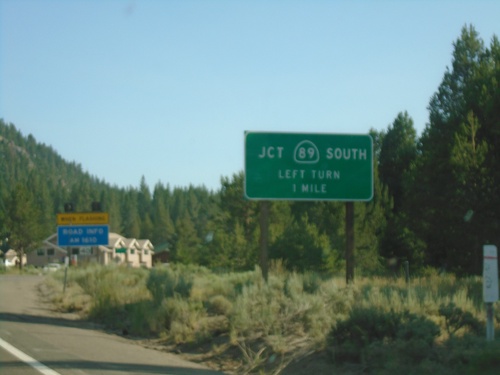
CA-89 North at US-50
CA-89 North at US-50 in Meyers. Turn left on US-50 west for Placerville; right for US-50 East/CA-89 North to South Lake Tahoe.
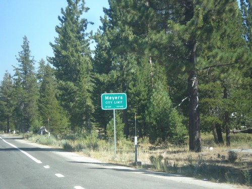
CA-89 North - Meyers City Limit
Meyers City Limit on CA-89 north.
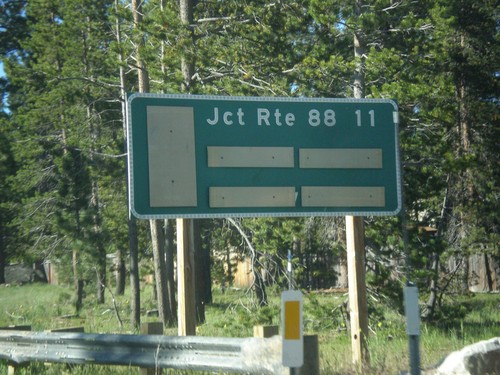
CA-89 South - Distance Marker
Distance marker on CA-89 south. Distance to CA-88 Junction.
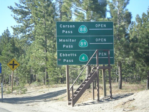
CA-89 South - Summit Information
Summit closure information on CA-89 south. Information for Ebbetts Pass (via CA-4), Monitor Pass (via CA-89) and Carson Pass (via CA-88). This photograph was taken in mid-June, and all of the passes are open. Carson Pass on CA-88 is the only pass that is typically opened year round.
US-50 East At CA-89 South
US-50 east at CA-89 south/Markleeville/Jackson to CA-88. CA-89 north joins US-50 east to South Lake Tahoe.
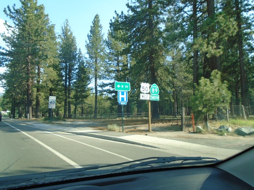
US-50 East at CA-89
US-50 east at CA-89 south.
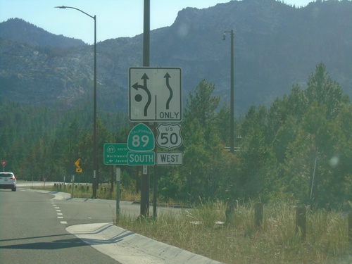
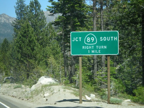
US-50 West/CA-89 South at CA-89 South
US-50 West/CA-89 south at US-50/CA-89 split. Use CA-89 south for CA-88/Markleeville/Jackson
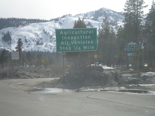
US-50 West/CA-89 South at Inspection Station
US-50 west/CA-89 south approaching the California State Agricultural Inspection Station.
US-50 West/CA-89 South Approaching CA-89
US-50 west/CA-89 south approaching CA-89/US-50 split.
US-50 West - Welcome To California
Welcome to California on US-50 west at the California-Nevada state line. Entering South Lake Tahoe.