Payette, Idaho
US-95 South - Distance Marker
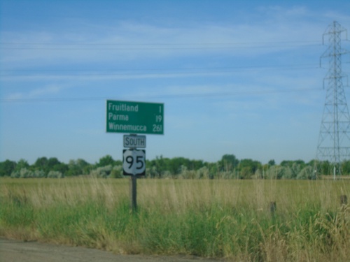
Distance marker on US-95 south. Distance to Fruitland, Parma, and Winnemucca (Nevada).
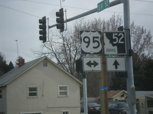
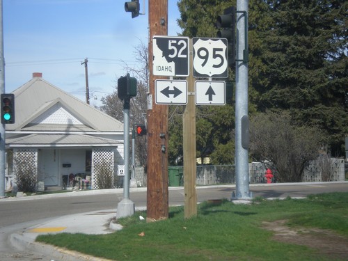
ID-52 West at US-95
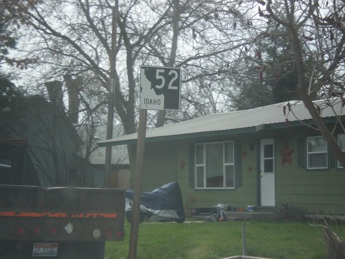
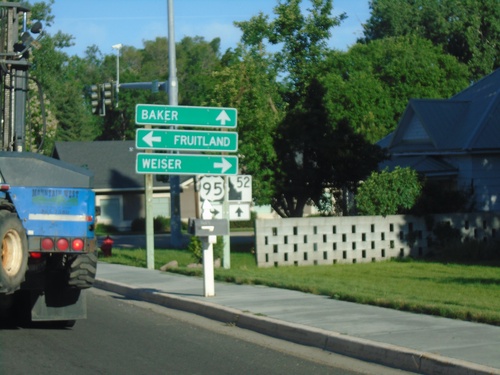
ID-52 west at US-95 in Payette. Turn right for US-95 north to Weiser; left for US-95 south to Fruitland. Continue west on ID-52 for Baker (City, Oregon). The ID-52 shield is the new style of Idaho state highway shield.
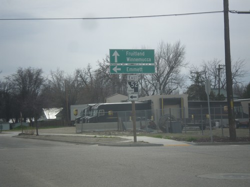
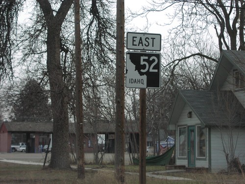
ID-52 East - Payette
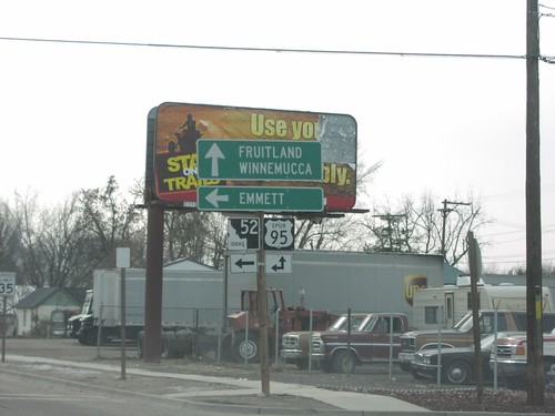
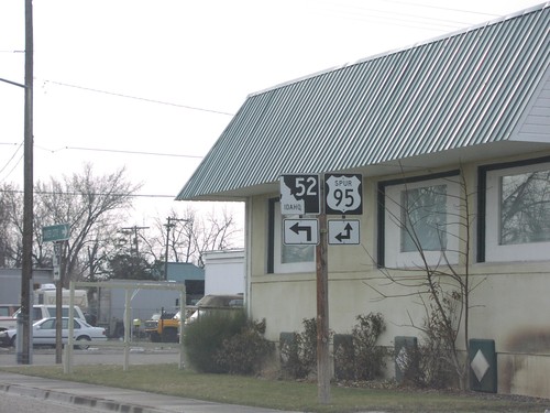
ID-52 east (South 7th St.) at 2nd Ave. South. Turn left to continue east on ID-52 for Emmett. Continue south on South 7th St. for US-95 south to Fruitland and Winnemucca (Nevada).
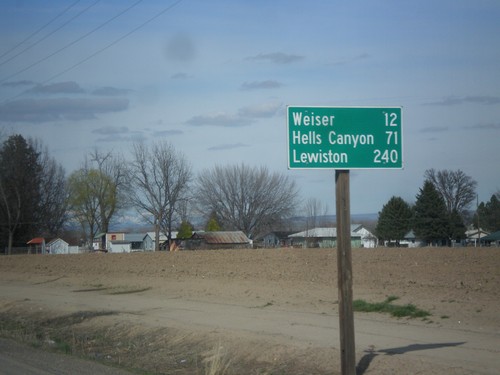
US-95 North - Distance Marker
Distance marker on US-95 north. Distance to Weiser, Hells Canyon (at Brownlee Reservoir via ID-71) and Lewiston.
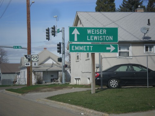
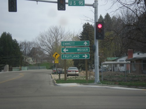
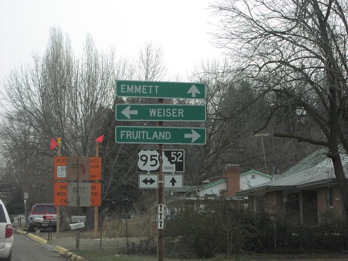
US-95 North at ID-52
US-95 north at ID-52. Use ID-52 east to Emmett. Use US-95 north to Weiser and Lewiston.
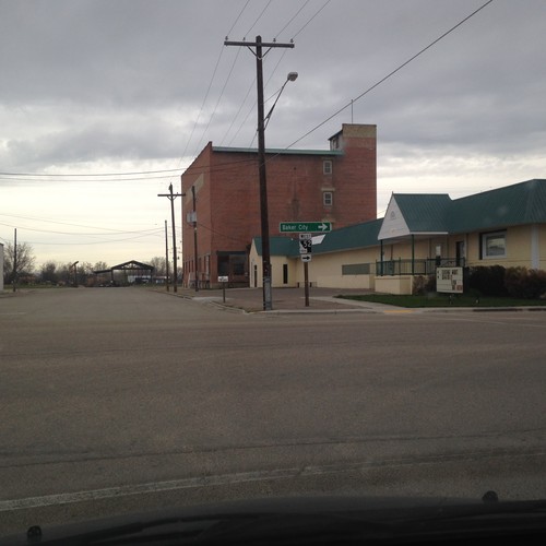
ID-52 West - Payette
ID-52 west in Payette. Turn right on 7th St. to continue west on ID-52 for Baker City (Oregon).
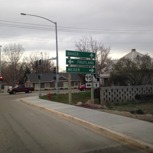
ID-52 West at US-95
ID-52 west at US-95 in Payette. Turn right for US-95 north to Weiser; left for US-95 south to Fruitland. Continue west on ID-52 for Baker (City, Oregon).
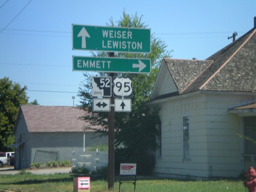
US-95 North at ID-52
US-95 north at ID-52. Use ID-52 east to Emmett. Use US-95 north to Weiser and Lewiston.
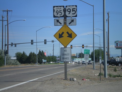
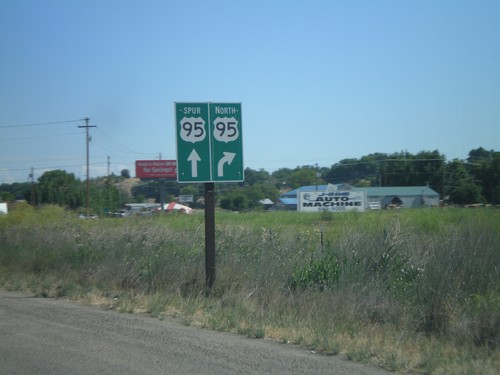
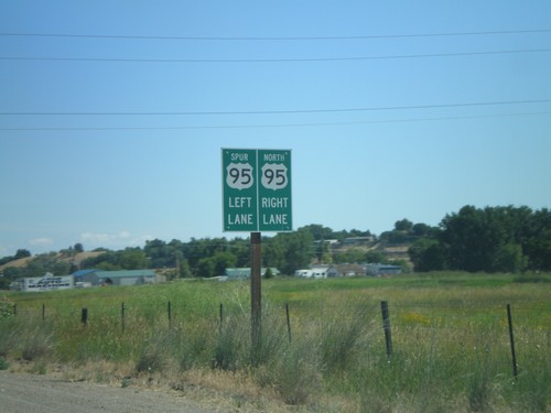
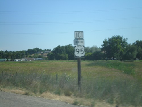
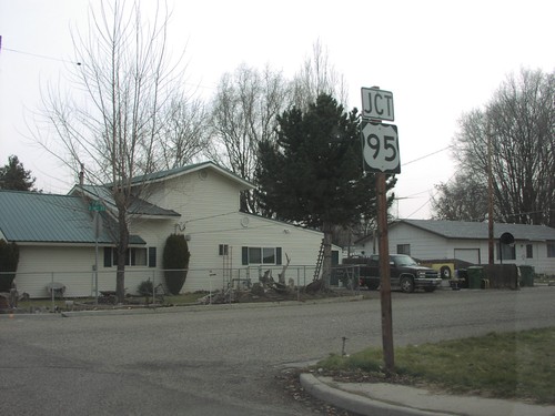
US-95 North at US-95 Spur (Payette)
US-95 north at US-95 Spur junction. Merge right to continue north on US-95.
