, Nevada
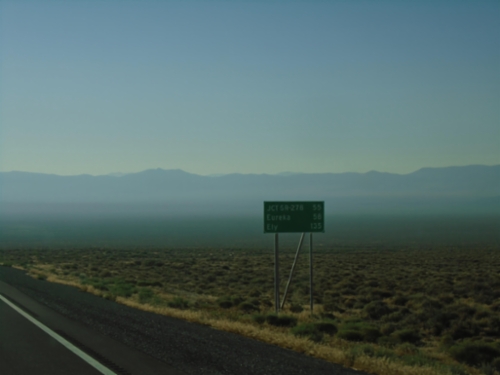
US-50 East - Distance Marker
Distance marker on US-50 east. Distance to Jct. SR-278, Eureka, and Ely. Haze in photograph is due to numerous wildfires in area.
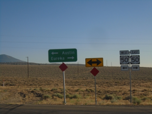
End NV-376 North at US-50
End NV-376 North at US-50. Use US-50 West to Austin; US-50 East to Eureka.
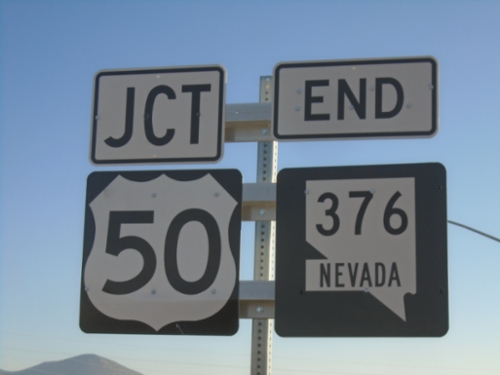
End NV-376 North at US-50
End NV-376 North at US-50 in Lander County.
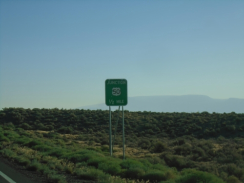
NV-376 North Approaching US-50
NV-376 North approaching US-50 in Lander County.
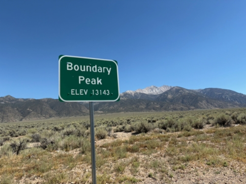
US-6 - Boundary Peak
Scenic pullout on US-6 West with view of Boundary Peak - Elevation 13143 Feet. Boundary Peak is the highest point in Nevada, and is in the background of the photograph. The author of this site had just climbed Boundary Peak earlier that day.
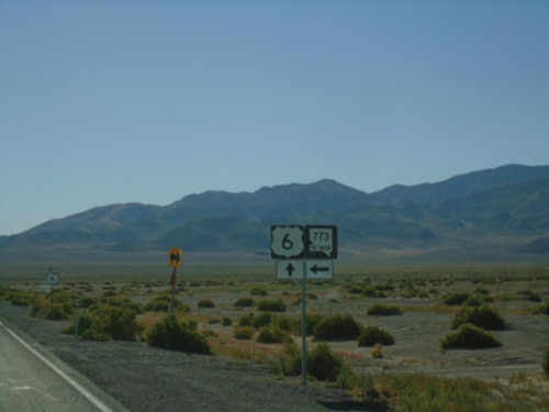
US-6 West at NV-773
US-6 West at NV-773 junction in Esmeralda County.
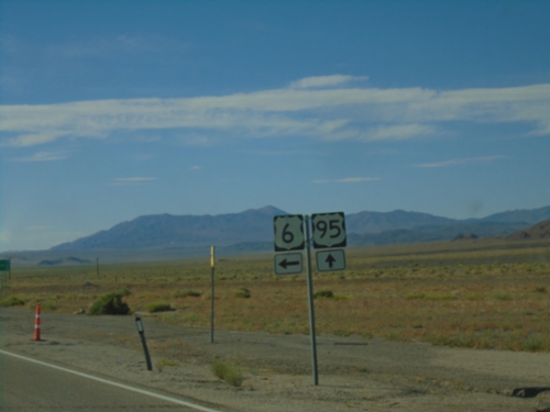
US-95 North/US-6 West at US-95/US-6 Split
US-95 North/US-6 West at US-95/US-6 Split at Coaldale Junction. Turn left to continue west on US-6.
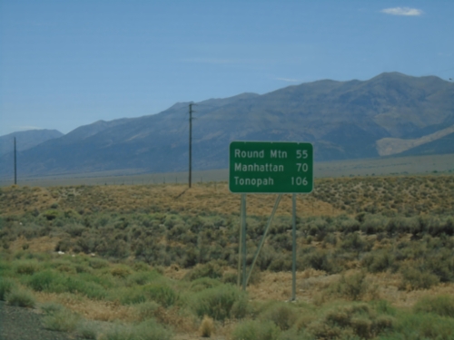
NV-376 South - Distance Marker
Distance marker on NV-376 south. Distance to Round Mountain, Manhattan, and Tonopah.
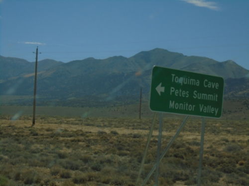
NV-376 South - Monitor Valley Junction
NV-376 south at county road to Petes Summit, Monitor Valley, and Toquima Cave.
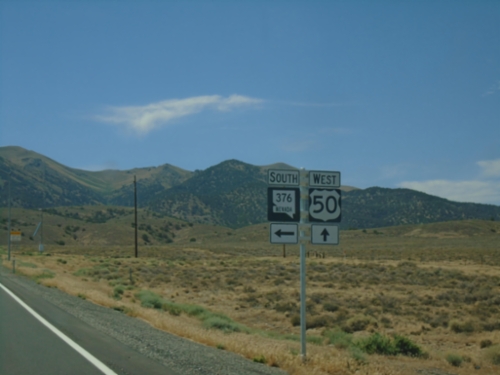
US-50 West at NV-376
US-50 West at NV-376 South in Lander County.
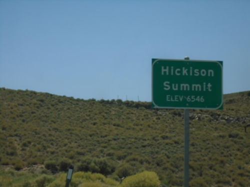
US-50 West - Hickison Summit
Hickison Summit - Elevation 6548 Feet on US-50 West. Hickison Summit is a pass at the southern end of the Simpson Park Mountains.
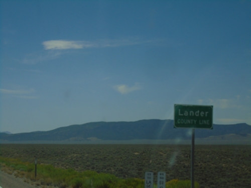
US-50 West - Lander County
Lander County Line on US-50 West. The Postmile markers representing the Lander County mileage (LA) and Eureka County (EU) mileage are at the bottom of the sign.
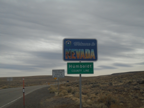
NV-140 South - Welcome To Nevada
Welcome to Nevada on NV-140 South - Humboldt County Line. Taken at the Oregon-Nevada state line.
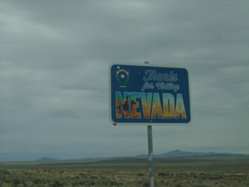
NV-140 North - Thanks for Visiting Nevada
Thanks for Visiting Nevada on NV-140 North. Taken at the Nevada-Oregon state line.
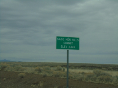
NV-140 North - Sage Hen Hills Summit
NV-140 east -Sage Hen Hills Summit - Elevation 6,349 Feet.
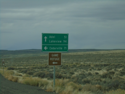
NV-140 North at County Route 8A
NV-140 North at County Route 8A to Cedarville (CA) and the Sheldon National Wildlife Refuge. Continue north on NV-140 for Adel and Lakeview - both in Oregon.
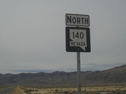
NV-140 North - Denio Junction
NV-140 North at Denio Junction
NV-140 North - Denio Junction
NV-140 North at Denio Junction
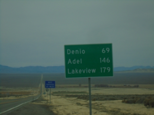
NV-140 North - Distance Marker
Distance marker on NV-140 north. Distance to Denio, Adel (OR), and Lakeview (OR).
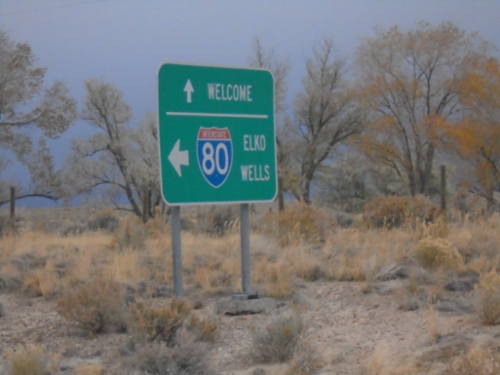
Frontage Road at I-80 Access Road
Frontage Road at I-80 Access Road. Turn left for I-80 to Elko and Wells. Continue straight on Frontage Road for Welcome.
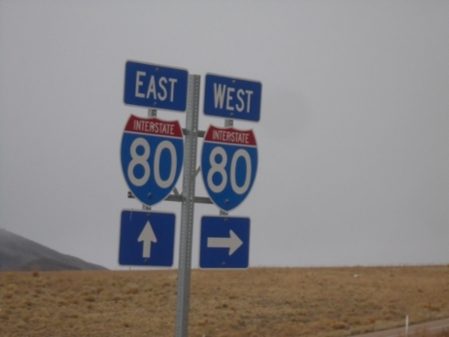
I-80 Junction at Exit 348 Interchange
I-80 junction at Exit 348 (Beverly Hills) interchange
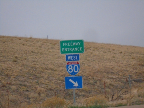
I-80 West - Exit 351 Onramp
I-80 West - Exit 351 Onramp in Elko County.
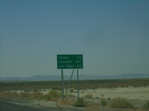
US-95 South - Distance Marker
Distance marker on US-95 South. Distance to Fallon, Tonopah, and Las Vegas.
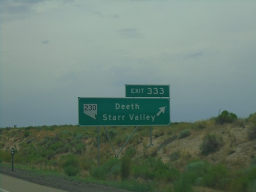
I-80 West - Exit 333
I-80 west at Exit 333 - NV-230/Deeth/Starr Valley.
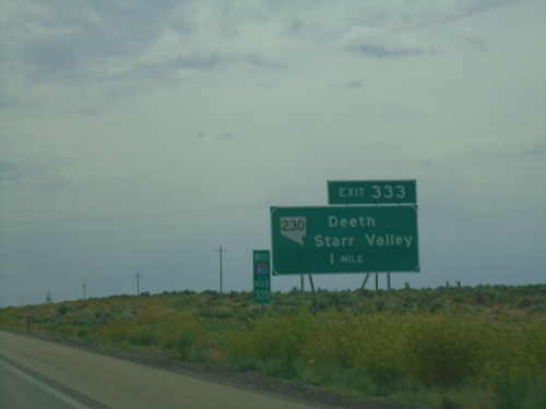
I-80 West - Exit 333
I-80 West approaching Exit 333 - NV-230/Deeth/Starr Valley.
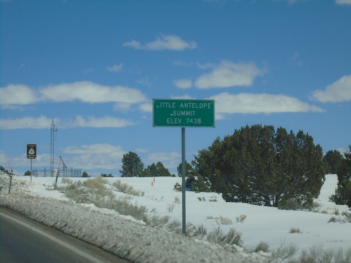
US-50 East - Little Antelope Summit
US-50 east at Little Antelope Summit - Elevation 7,438 Feet. Little Antelope Summit is in the Pine Range.
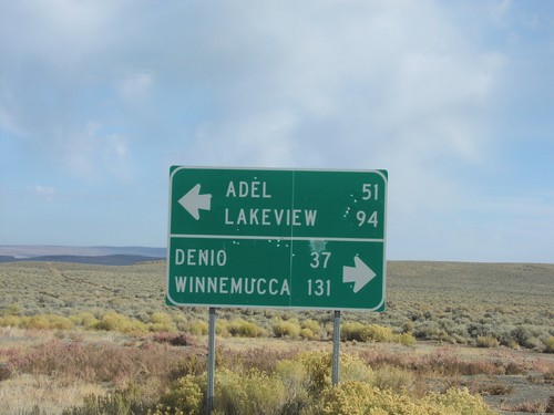
End NV-8A at NV-140
End NV-8A at NV-140. NV-140 west to Adel and Lakeview; east to Denio and Winnemucca.