Javascript Is Required To Use This Page

Austin, Nevada

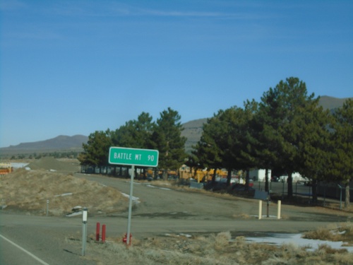
NV-305 North - Distance Marker

NV-305 North - Distance Marker

Distance marker on NV-305 north. Distance to Battle Mountain.

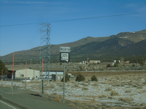
NV-305 North - Austin

NV-305 North - Austin

NV-305 North in Austin

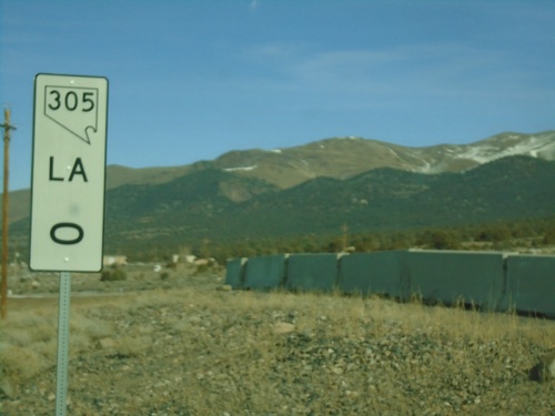
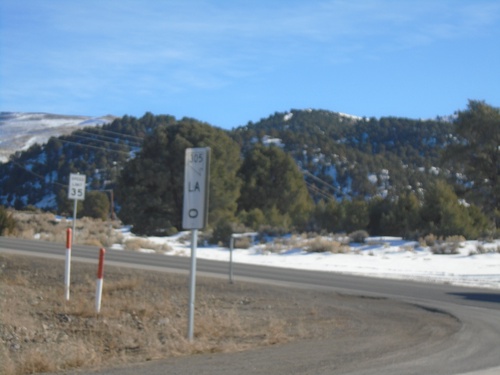
NV-305 - Mile 0

NV-305 - Mile 0

NV-305 - Mile 0 Lander (LA) County

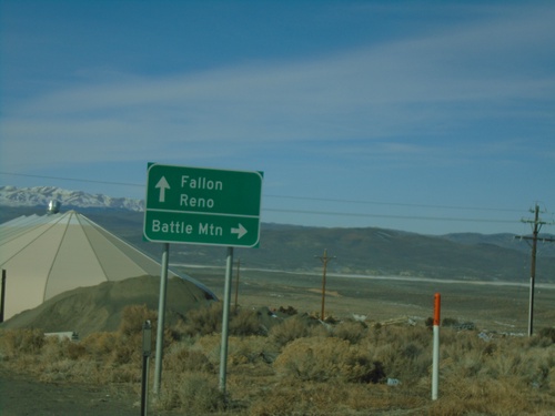
US-50 West at NV-305 North

US-50 West at NV-305 North

US-50 west at NV-305 north to Battle Mountain. Continue west on US-50 for Fallon and Reno.
US-50 West at NV-305 North

US-50 West at NV-305 North

US-50 West at NV-305 North in Austin.

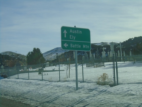
US-50 East at NV-305 North

US-50 East at NV-305 North

US-50 East at NV-305 north to Battle Mountain. Continue east on US-50 for Austin and Ely.
US-50 East Approaching NV-305 North

US-50 East Approaching NV-305 North

US-50 East approaching NV-305 North in Austin.

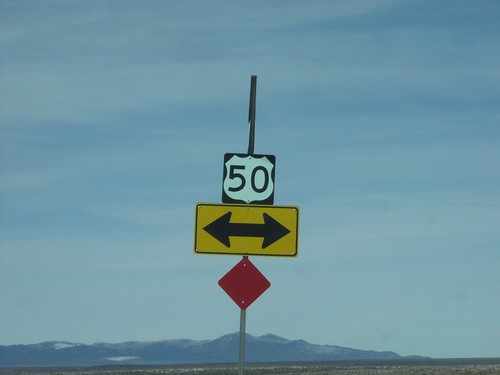
US-50 East at NV-722

US-50 East at NV-722

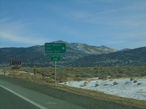
US-50 East at NV-722 West to Gold Venture, Ione, and Reese River.

US-50 East at NV-722 West

US-50 East at NV-722 West

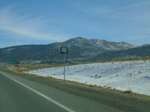
US-50 East at NV-722 West in Lander County

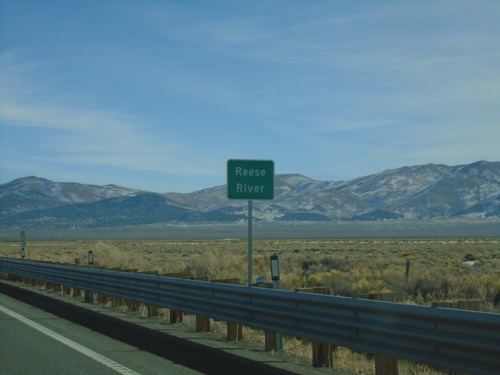
US-50 East - Reese River

US-50 East - Reese River

US-50 east at the Reese River in Lander County. The Reese River starts in the Toyiabe Range, south of here, and flows north to the Humboldt River near Battle Mountain.
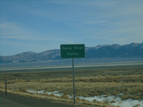
US-50 East - Reese River Valley

US-50 East - Reese River Valley

Entering the Reese River Valley on US-50 east.

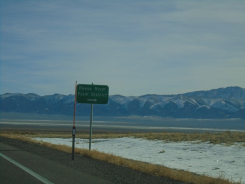
US-50 East - Reese River/Farm District

US-50 East - Reese River/Farm District

US-50 East at junction to Reese River/Farm District

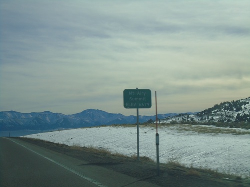
US-50 East - Mount Airy Summit

US-50 East - Mount Airy Summit

US-50 East at Mount Airy Summit - Elevation 6679 Feet. Mount Airy Summit is a pass in the Shoshone Mountains.
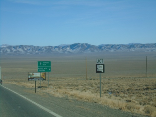
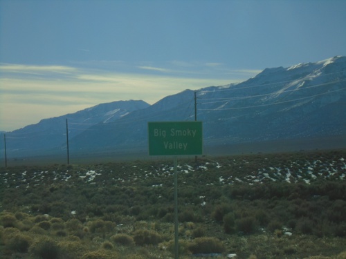
NV-376 South - Big Smoky Valley

NV-376 South - Big Smoky Valley

Big Smoky Valley on NV-376 South

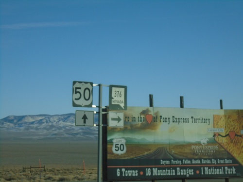
US-50 East at NV-376

US-50 East at NV-376

US-50 East at NV-376 in Lander County.

US-50 East Approaching NV-376

US-50 East Approaching NV-376

US-50 East approaching NV-376 south to Round Mountain and Tonopah. Continue east on US-50 for Eureka and Ely.
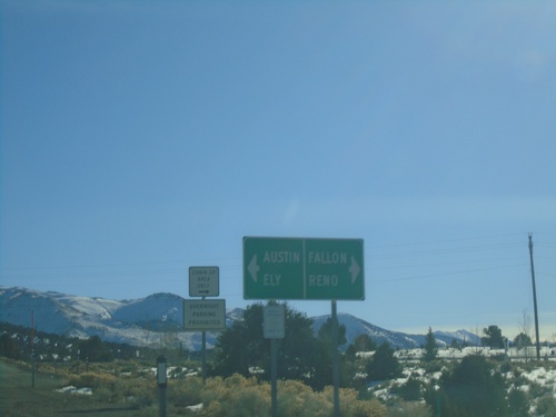
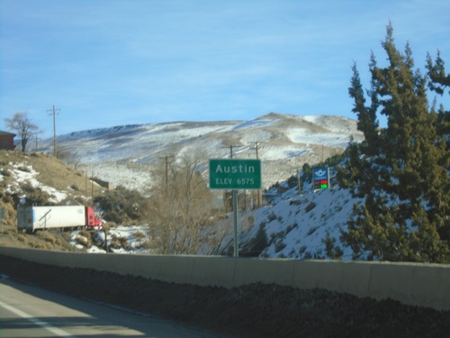
US-50 East - Austin

US-50 East - Austin

Entering Austin on US-50 east. Elevation 6575 Feet.

NV-305 - Mile 0

NV-305 - Mile 0

NV-305 - Mile 0 Lander (LA) County

End NV-305 South at US-50

End NV-305 South at US-50

End NV-305 south at US-50. Use US-50 West to Reno and Fallon; US-50 east to Austin and Ely.
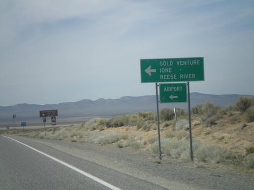
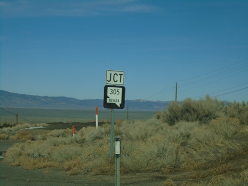
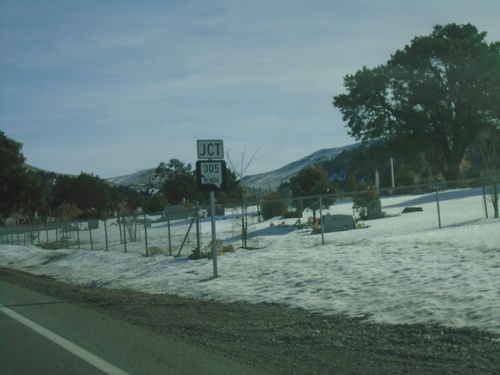
NV-305 South - Silver Creek

NV-305 South - Silver Creek

NV-305 South at Silver Creek Junction

US-50 West at NV-722 West

US-50 West at NV-722 West

US-50 west at NV-722 west

US-50 West Approaching NV-722

US-50 West Approaching NV-722

US-50 west approaching NV-722 west to Ione, Reese River, Gold Venture, and the Austin Airport.
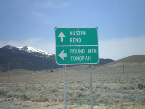
US-50 West Approaching NV-722

US-50 West Approaching NV-722

US-50 west approaching NV-722

End NV-376 North at US-50

End NV-376 North at US-50

End NV-376 north at US-50

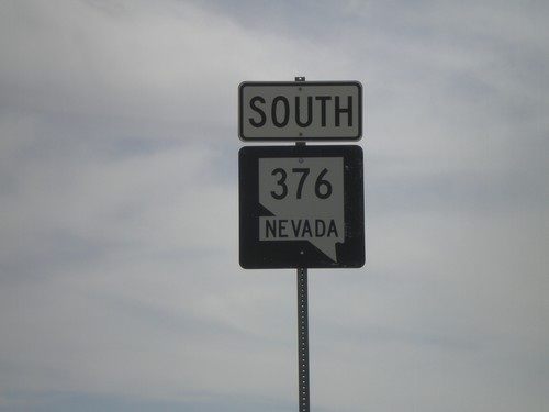
NV-376 South

NV-376 South

NV-376 south.

US-50 West approaching NV-376

US-50 West approaching NV-376

US-50 west approaching NV-376

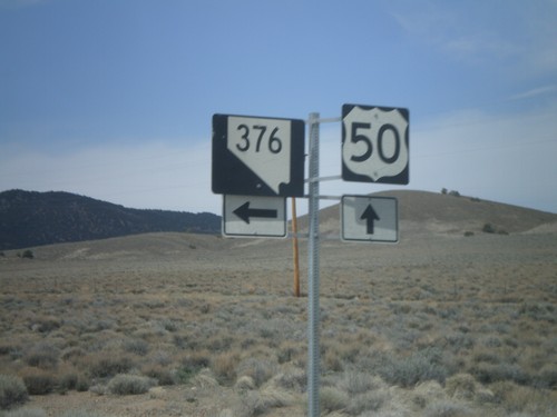
US-50 West at NV-376 South

US-50 West at NV-376 South

US-50 west at NV-376 south for Round Mountain and Tonopah. Continue west for Austin and Reno.
End NV-305 South at US-50

End NV-305 South at US-50

US-50 shield at end of NV-305 south in Austin.

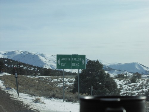
End NV-305 South at US-50

End NV-305 South at US-50

Directional sign to Ely, Austin, Reno, and Fallon at the southern terminus of NV-305 in Austin at US-50.

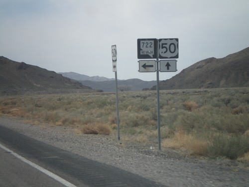
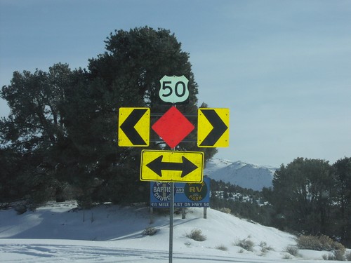
End NV-722 East at US-50

End NV-722 East at US-50

US-50 shields at eastern terminus of NV-722 at US-50 in Lander County.

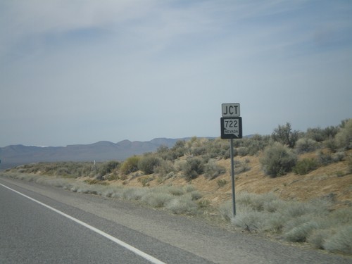
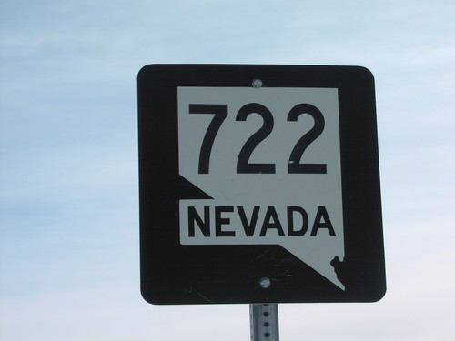
NV-722 - Lander County

NV-722 - Lander County

NV-722 shield at beginning of NV-722 west in Lander County.

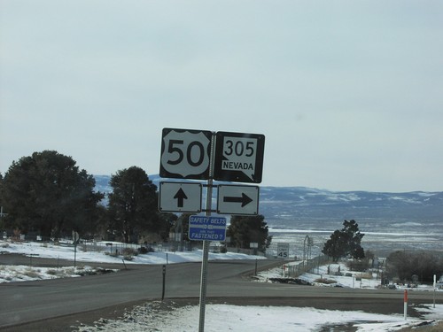
US-50 West at NV-305 North

US-50 West at NV-305 North

US-50 west at NV-305 north in Austin.

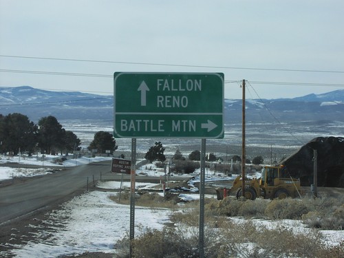
US-50 West at NV-305 to Battle Mountain

US-50 West at NV-305 to Battle Mountain

Directional sign to Battle Mountain, Fallon, and Reno on US-50 west at NV-305 north.

Show Random Sign From Austin