Javascript Is Required To Use This Page

Dyer, Nevada

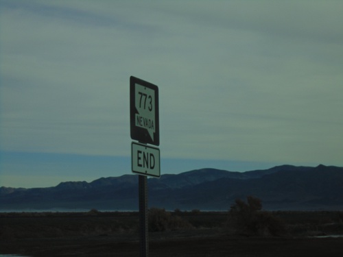
End NV-773 North at US-6

End NV-773 North at US-6

End NV-773 North at US-6 in Esmeralda County.

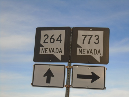
NV-264 North at NV-773

NV-264 North at NV-773

NV-264 North at NV-773 in Esmeralda County.

NV-264 North Approaching NV-773

NV-264 North Approaching NV-773

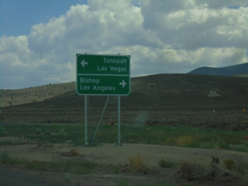
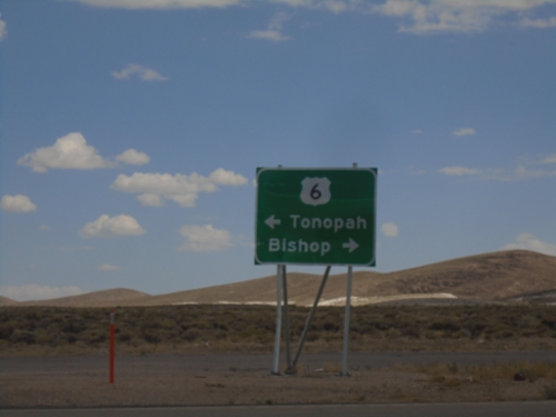
NV-264 North approaching NV-773 in Esmeralda County. Use NV-773 North for Tonopah; continue north on NV-264 for Bishop (California).

NV-264 North - Esmeralda County

NV-264 North - Esmeralda County

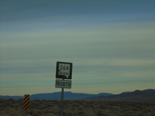
NV-264 North in Esmeralda County. Taken just north of the California-Nevada State Line.

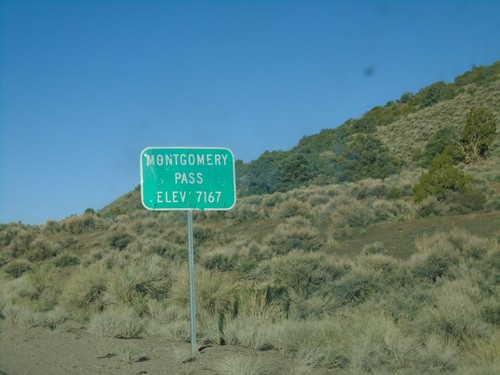
US-6 West - Montgomery Pass

US-6 West - Montgomery Pass

US-6 west at Montgomery Pass - Elevation 7167 Feet.

US-6 West - Distance Marker

US-6 West - Distance Marker

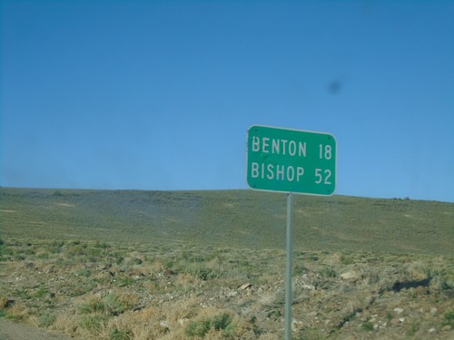
Distance marker on US-6 west. Distance to Benton (California) and Bishop (California).

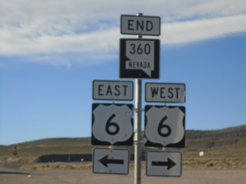
End NV-360 at US-6

End NV-360 at US-6

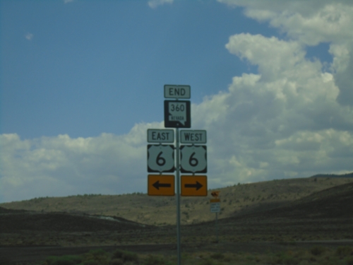
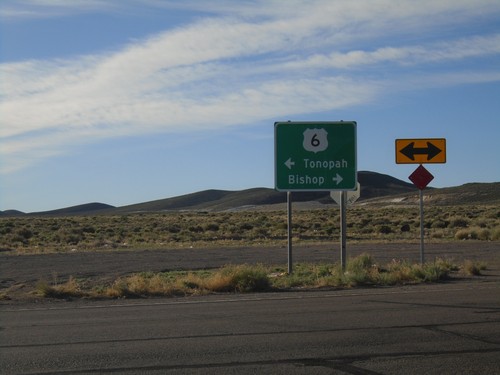
End NV-360 at US-6. Use US-6 west to Bishop (California); US-6 east to Tonopah.

End NV-360 South at US-6

End NV-360 South at US-6

End NV-360 South at US-6 in Mineral County.

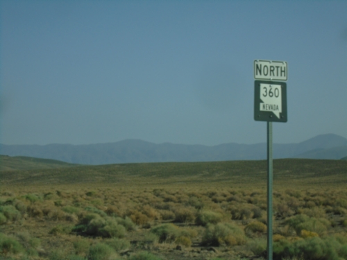
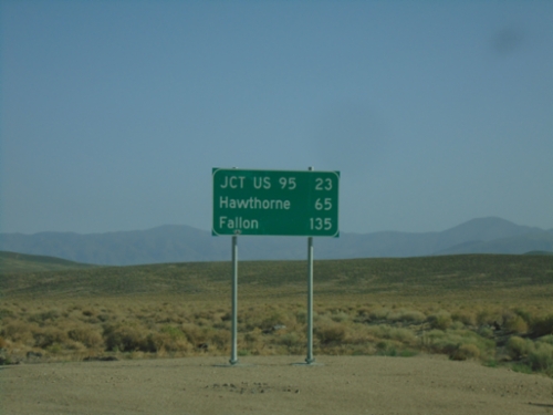
NV-360 North - Distance Marker

NV-360 North - Distance Marker

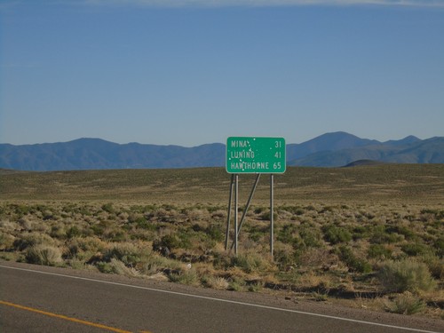
Distance marker on NV-360 north. Distance to Mina, Luning, and Hawthorne.

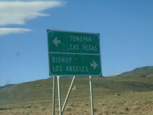
NV-360 South at US-6

NV-360 South at US-6

NV-360 South at US-6. Use US-6 west for Bishop (California) and Los Angeles (California). Use US-6 east for Tonopah and Las Vegas (via US-95).
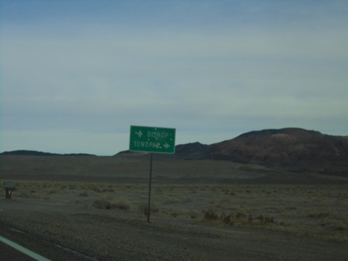
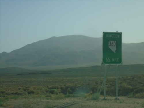
NV-360 South Approaching US-6

NV-360 South Approaching US-6

NV-360 South approaching US-6 in Mineral County.

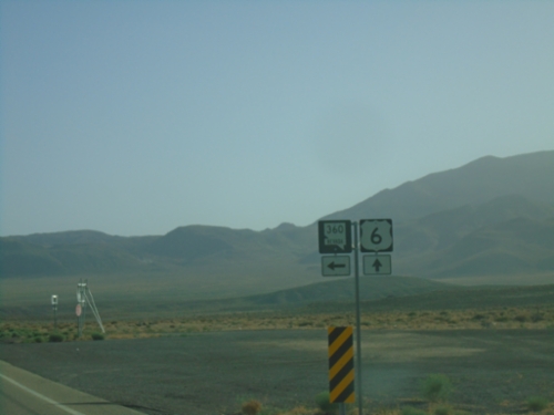
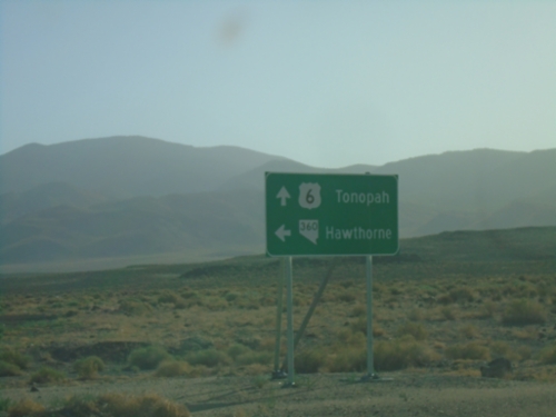
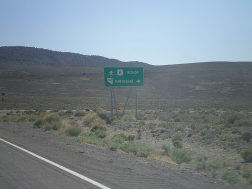
US-6 West at NV-360

US-6 West at NV-360

US-6 west at NV-360 to Hawthorne. Continue west on US-6 to Bishop (California).

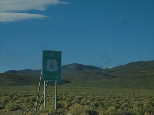
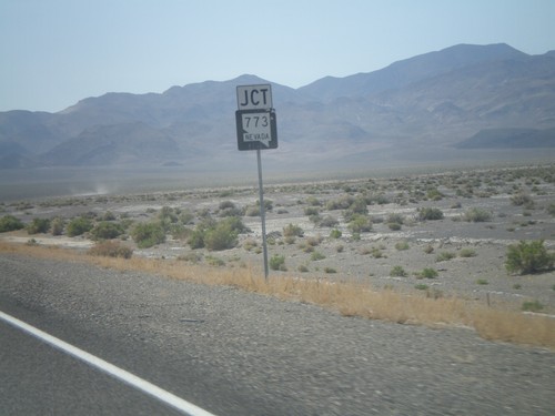
US-6 West Approaching NV-773

US-6 West Approaching NV-773

US-6 west approaching NV-773.

Show Random Sign From Dyer