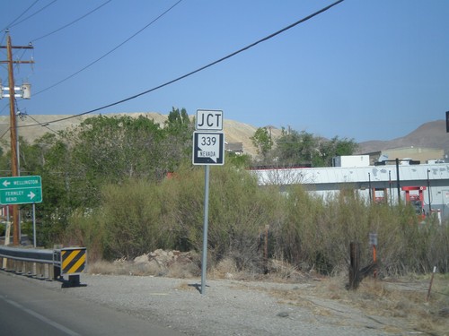
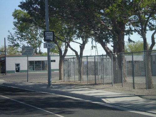
Yerington, Nevada
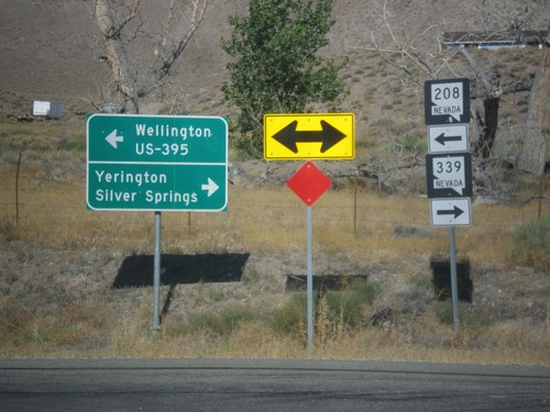
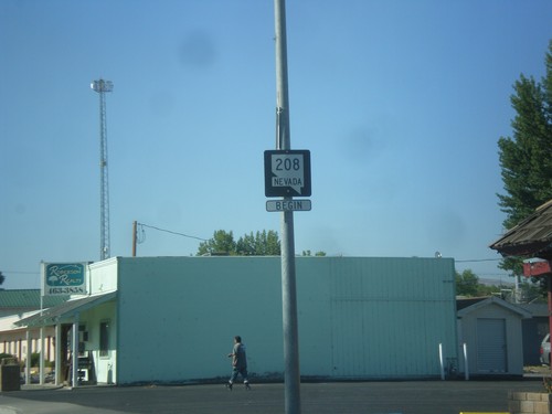
NV-208 West at NV-339
NV-208 west at NV-339. Turn right for NV-339 north to Yerington and Silver Springs. Turn left to continue west on NV-208 for Wellington and US-395 Jct.
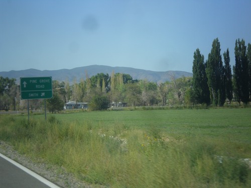
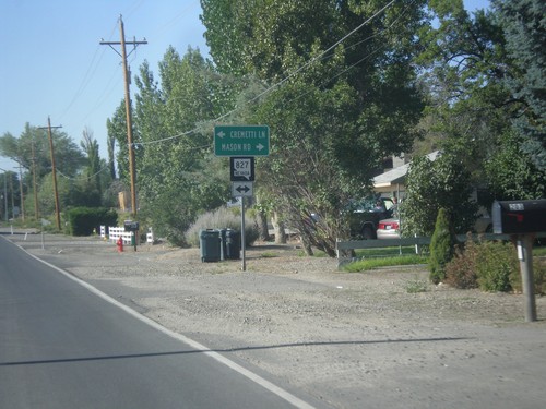
NV-208 West - Pine Grove Road Jct.
NV-208 West at Pine Grove Road Jct. Merge right to continue west on NV-208 towards Smith.
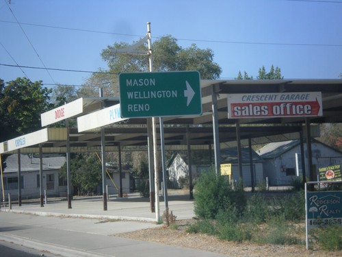
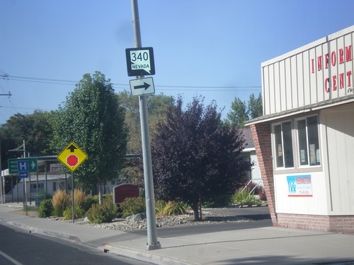
NV-208 South at NV-340 (Bridge St.)
NV-208 South at NV-340 (Bridge St.) west to Mason, Wellington, and Reno (via US-95 Alt.).
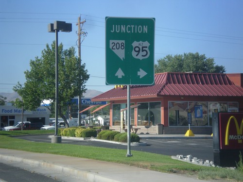
Alt. US-95 North Approaching NV-208
Alt. US-95 North Approaching NV-208 in Yerington. Turn right to continue north on Alt. US-95.
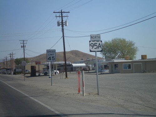
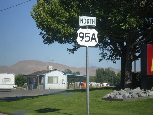
Alt. US-95 North - Yerrington
Alt. US-95 North, leaving Yerrington. This is the only instance that I have seen on any of the Nevada alternate US highways, where an "A" was used as the alternate designation. The normal alternate designation is with a separate sign on top of the shield with the word "ALT".
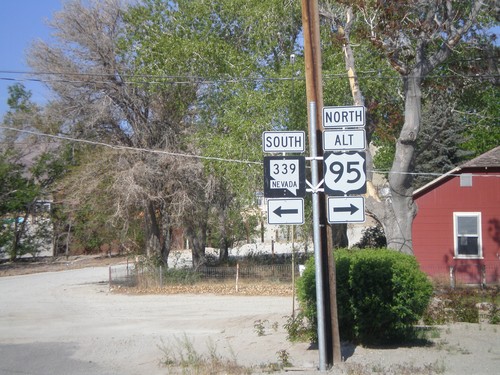
Alt. US-95 North at NV-339
Alt. US-95 North at NV-339 in Yerrington. Turn left for NV-339 south; turn right to continue north on Alt. US-95.
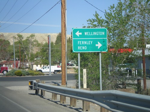
Alt. US-95 North Approaching NV-339
Alt. US-95 North approaching NV-339 in Yerrington. Use NV-339 south for Wellington; use Alt. US-95 north for Fernley and Reno.
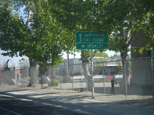
NV-208 North Approaching Alt. US-95
NV-208 North approaching Alt. US-95 in Yerrington. Use Alt. US-95 South (straight ahead) for Hawthorne and Las Vegas. Use Alt. US-95 North (left) for Fernley.
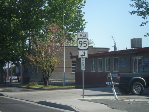
NV-208 North Approaching Alt. US-95
NV-208 north approaching Alt. US-95 north in Yerrington. Below the Alt. US-95 shield is a Nevada post mile marker. Nevada state and US highways do not have traditional mile markers, but instead have these post mile markers. The mileage on these markers reset at each county line. The top line is the route type, in this case SR (State Route). The next line is the two character county abbreviation - LY for Lyon County. The number is the actual mileage, to two decimal places.
