Deming, New Mexico
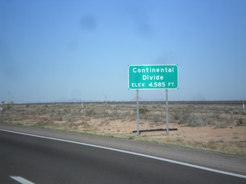
I-10 West - Continental Divide
Continental Divide on I-10 west - Elevation 4,585 Feet. This is the dividing line between the Gila River (flows to Colorado River) and the Mimbres River (flows into a closed basin).
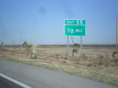
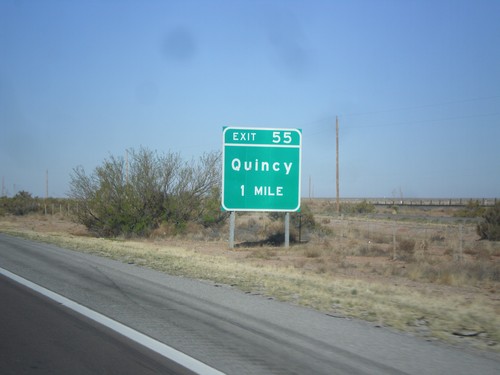
I-10 West - Exit 55
I-10 west approaching Exit 55. The previous advance sign for this exit signed it as Exit 55 - Quincy.
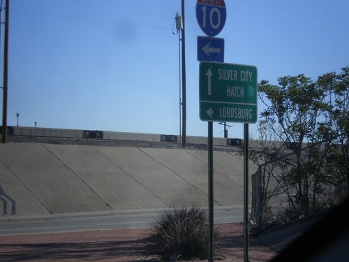
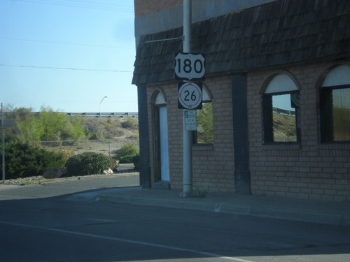
US-180 West/NM-26 East at I-10
US-180 West/NM-26 East at I-10 west. Turn left for I-10 west to Lordsburg. Continue straight for US-180 West/NM-26 East for Silver City and Hatch.
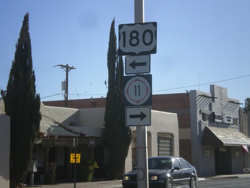
BL-10 East at US-180/NM-11
BL-10 east at US-180/NM-11. Turn left for US-180 west; turn right for NM-11 south.
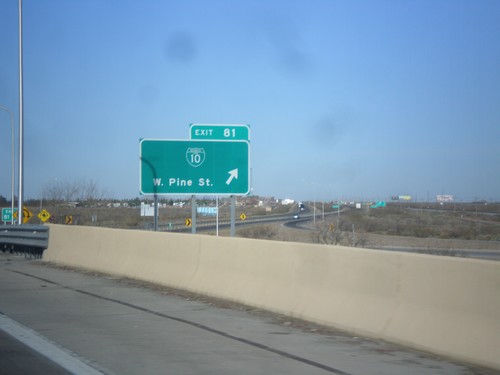
I-10 West - Exit 81
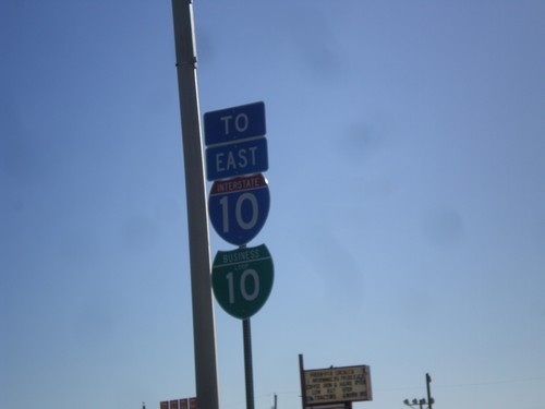
I-10 west at Exit 81 - BL-10/W. Pine St. This is the western end of the Deming business loop.
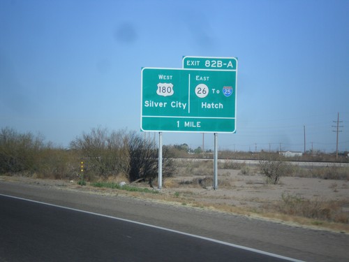
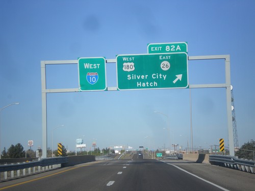
I-10 West Approaching Exits 82A and 82B
I-10 approaching Exits 82A and 82B. Exits 82AB - US-180 West/Silver City/NM-26 East/To I-25/Hatch.
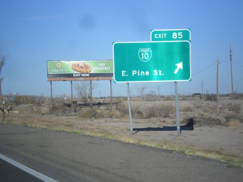
I-10 West - Exit 25
I-10 west at Exit 25 - BL-10/East Pine St. This is the east end of the Deming business loop.
