Santa Fe, New Mexico
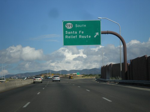
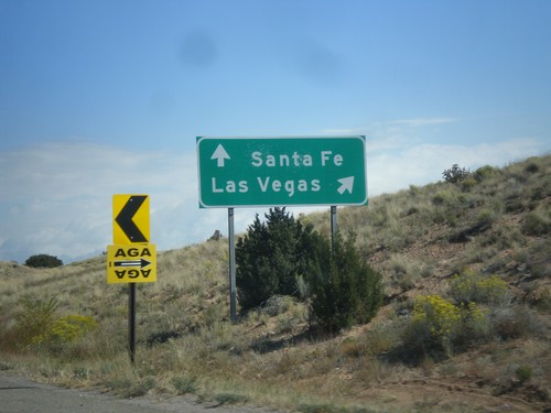
US-84 West/US-285 North at NM-599 Interchange
US-84 West/US-285 North at NM-599 interchange. Use NM-599 South for the Santa Fe Relief Route. The Sante Fe Relief Route connects the north side of Santa Fe to I-25 south without having to go through downtown Santa Fe.
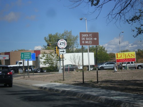
US-84 West/US-285 North at NM-475
US-84 West/US-285 North at NM-475 (Paseo de Peralta). Turn right on NM-475 for Santa Fe Ski Basin.
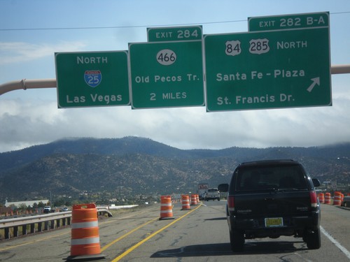
I-25 North - Exits 282B-A and 284
I-25 north at Exit 282B-A - US-84/US-285 North/Santa Fe - Plaza/St. Francis Drive. Approaching Exit 284 - NM-466/Old Pecos Trail. Continue north on I-25 for Las Vegas. US-84 joins I-25 north towards Las Vegas; US-285 joins I-25 north for 8 miles.
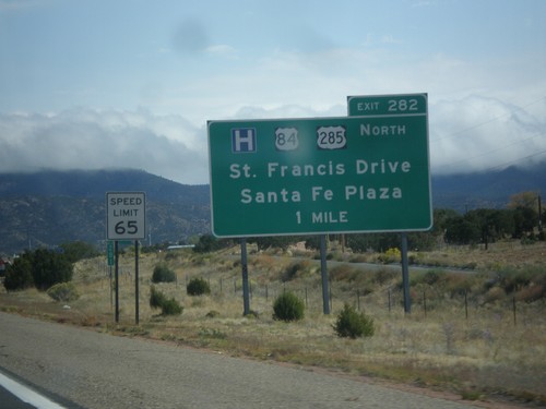
I-25 North Approaching Exit 282
I-25 North approaching Exit 282 - US-84/US-285 North/Santa Fe Plaza/St. Francis Drive.
NM-14 North at I-25
NM-14 north at I-25. Merge right for I-25 north to Las Vegas. Continue north on NM-14 for Santa Fe.
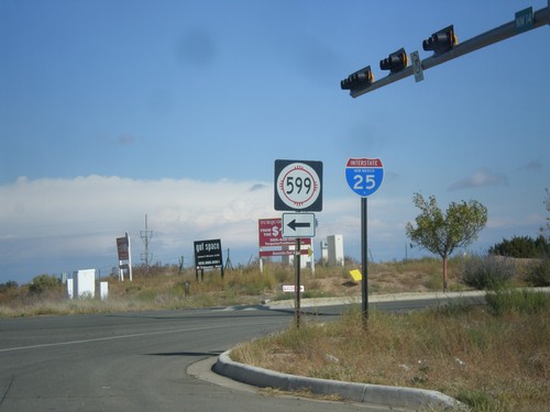
NM-14 North at NM-599
NM-14 north at NM-599. Use NM-599 for I-25. Northbound I-25 traffic can continue north on NM-14, although NM-599 is a shortcut to the freeway. This is the southern end of the Santa Fe Relief Route.
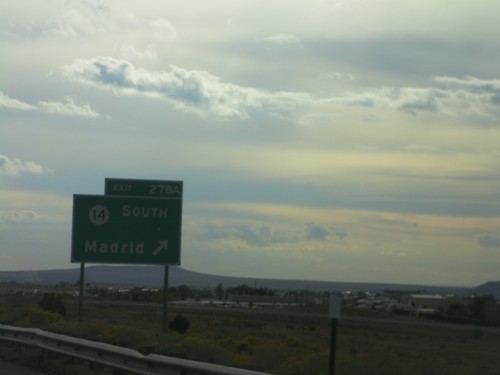
I-25 South - Exit 278A
I-25 south at Exit 278A - NM-14 South/Madrid.
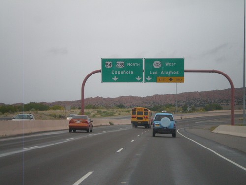
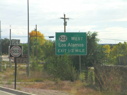
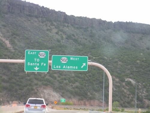
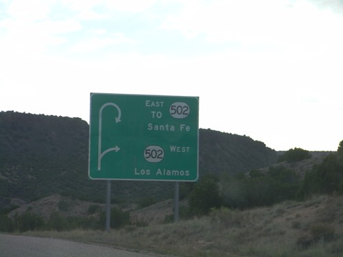
US-84/US-285 North - NM-502 Jct.
US-84/US-285 North - NM-502 West/Los Alamos exit. Continue north on US-84/US-285 North to Española.
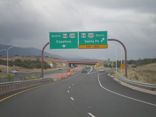
End NM-599 East at US-84/US-285
End NM-599 (Santa Fe Relief Route) east at US-84/US-285. Use US-84/US-285 north for Española. Use US-84/US-285 south for Santa Fe.
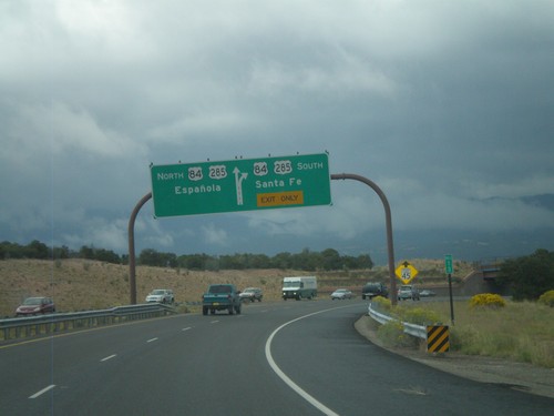
End NM-599 East at US-84/US-285
End NM-599 (Santa Fe Relief Route) east at US-84/US-285. Use US-84/US-285 north for Española; use US-84/US-285 south for Santa Fe.
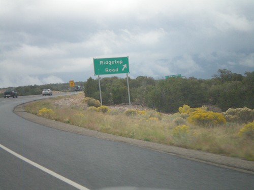
NM-599 East at Ridgetop Road
NM-599 East (Santa Fe Relief Route) at Ridgetop Road interchange.
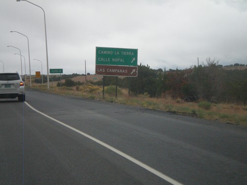
NM-599 East at Camino La Tierra
NM-599 east at Camino La Tierra/Calle Nopal interchange. Also use this exit for Las Campanas.
I-25 North - Exit 276
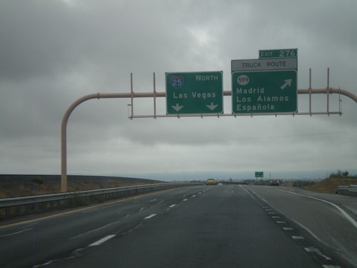
I-25 north at Exit 276 - NM-599/Madrid/Los Alamos/Española. NM-599 is the truck route around Santa Fe. I-25 continues north to Las Vegas.
I-25 North Approaching Exit 276
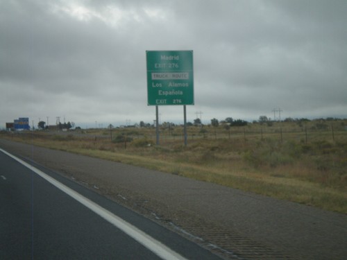
I-25 north approaching Exit 276 (NM-599). Use Exit 276 for Los Alamos, Española, Madrid. NM-599 is the truck route around Santa Fe.
I-25 North - Exit 276
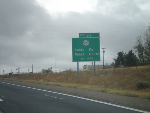
I-25 North at Exit 276 - NM-599/Santa Fe Relief Route. NM-599 is the truck route around Santa Fe.
I-25 North - Santa Fe Exits
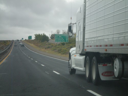
Santa Fe Exits on I-25 north - NM-599, Cerrillos Road, St Francis Drive, and Old Pecos Trail.
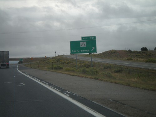
I-25 North - Exit 271
I-25 north at Exit 271 - CR-50F/La Cienega.
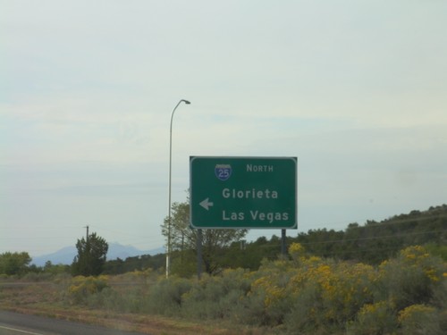
US-285 South at I-25 North
US-285 south at I-25 North (and US-84) onramp to Glorieta and Las Vegas.
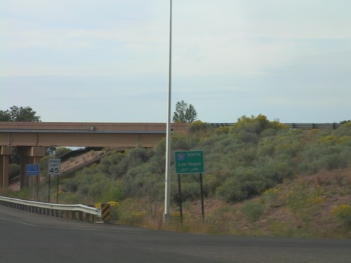
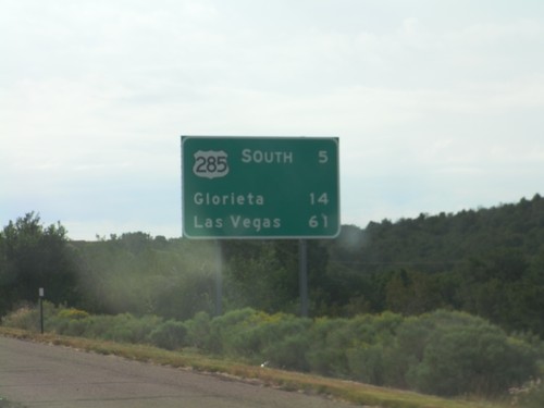
US-285 South Approaching I-25 North
US-285 South Approaching I-25 (and US-84) north to Las Vegas.
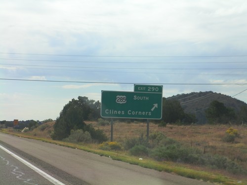
I-25 North - Exit 290
I-25 north at Exit 290 - US-285 South/Clines Corner. US-285 leaves I-25 south here.
I-25 North - Distance Marker
Distance marker on I-25 north, leaving Santa Fe. Distance to US-285 Jct., Glorieta, and Las Vegas.
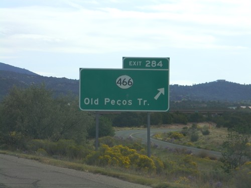
I-25 North - Exit 284
I-25 north at Exit 284 - NM-466/Old Pecos Trail.
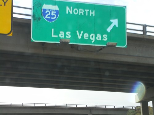
US-84/US-285 South at I-25 North
US-84/US-285 South (St. Francis Drive) at I-25 North to Las Vegas. US-285 South joins I-25 north for 8 miles. US-84 east joins I-25 north to just south of Las Vegas.
US-84/US-285 South at I-25
US-84/US-285 South (St. Francis Drive) at I-25. Use I-25 south for Albuquerque; use I-25 north for Las Vegas.
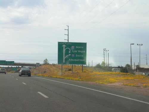
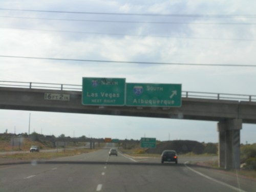
US-84/US-285 South Approaching I-25
US-84/US-285 South (St. Francis Drive) approaching I-25 in Santa Fe. Sign assembly uses a route diagram. Use I-25 north for Las Vegas; use I-25 south for Albuquerque.
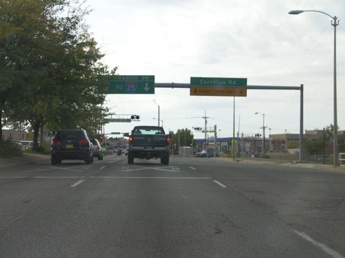
US-84/US-285 South At NM-14
US-84/US-285 South (St. Francis Drive) At NM-14 (Cerrillos Road). Use St. Francis Drive south for I-25.
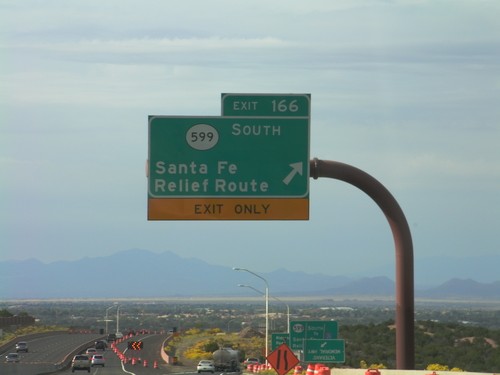
US-84/US-285 South - Exit 166
US-285 South/US-84 East at Exit 166 - NM-599 South/Santa Fe Relief Route. After this interchange, the US-84/US-285 South freeway ends and becomes St. Francis Drive, in Santa Fe.
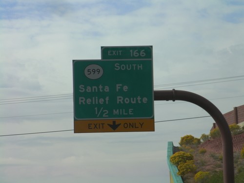
US-84/US-285 South Approaching Exit 166
US-84/US-285 South approaching Exit 166 - NM-599/Santa Fe Relief Route.
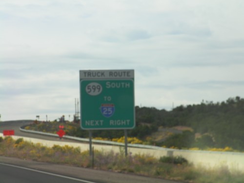
US-84/US-285 South Approaching NM-599
US-84/US-285 South approaching NM-599 (Santa Fe Relief Route). All trucks bound for I-25 use NM-599.
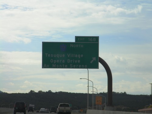
US-84/US-285 South - Exit 168
US-84/US-285 South at Exit 168 - CH-73 North/Tesuque Village/Opera Drive/Av Monte Sereno.
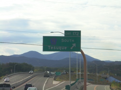
US-84/US-285 South - Exit 172
US-84/US-285 South at Exit 172 - CH-73 South/Tesuque.
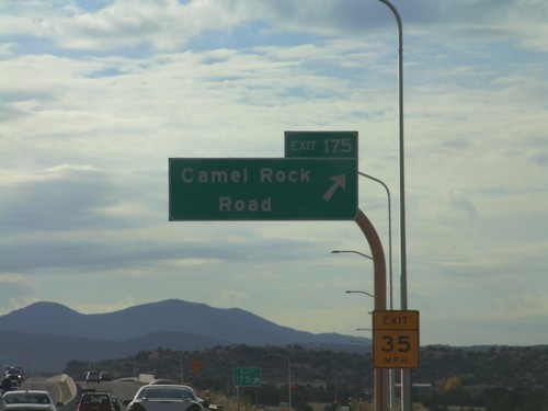
US-84/US-285 South - Exit 175
US-84/US-285 South at Exit 175 - Camel Rock Road.
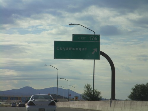
US-84/US-285 South - Exit 176
US-84/US-285 South at Exit 176 - Cuyamungue.
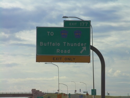
US-84/US-285 South - Exit 177
US-84/US-285 South at Exit 177 - To CH-89B/CH-89D/Buffalo Thunder Road.
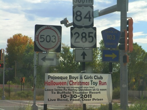
US-84/US-285 South at NM-503/CH-103
US-84/US-285 South at NM-503 and CH-103 in Pojoaque.
US-84/US-285 South Approaching NM-503 and NM-502
US-84/US-285 South approaching NM-503 and NM-502. The intersection with NM-503 is controlled by a stop light; the NM-502 intersection is a SPUI type interchange. Use NM-502 west for Los Alamos.
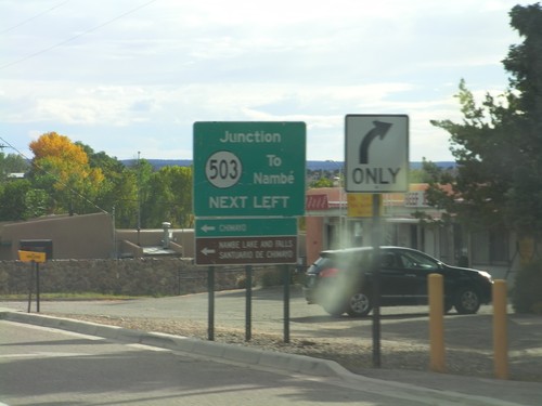
US-84/US-285 South Approaching NM-503
US-84/US-285 South approaching NM-503. Use NM-503 east for Nambé, Chimayo, Nambé Lake and Falls, and Sanitario de Chimayo.
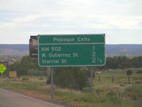
Pojoaque Exits - US-84/US-285 South
Pojoaque Exits on US-84/US-285 South: NM-502, W. Gutierrez St., Viarrial St. The later two exits are actually intersections controlled by traffic signals.
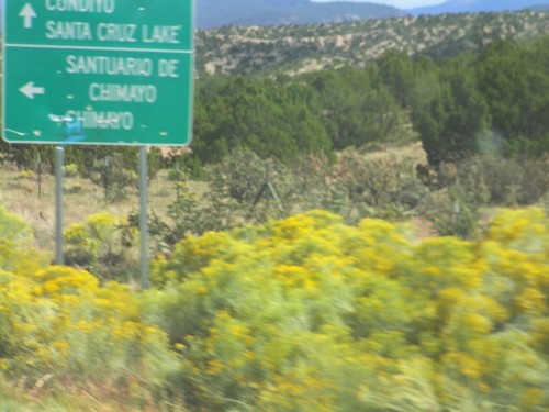
NM-503 East at CH-98
NM-503 East at CH-98 North. Use CH-98 north for Sanitario de Chimayo and Chimayo. Continue east on NM-503 for Cundiyo and Santa Cruz Lake. The High Road To Taos Scenic Byway turns left here.
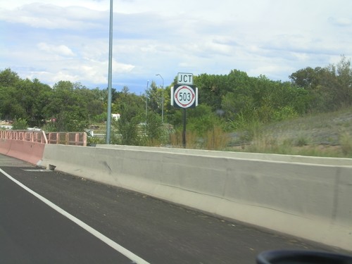
US-84/US-285 North Approaching NM-503
US-84/US-285 North approaching NM-503 in Pojoaque. This is the beginning of the High Road To Taos Scenic Byway.
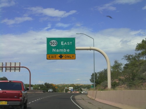
US-84/US-285 North Approaching NM-503
US-84/US-285 North approaching NM-503 East/Nambé.
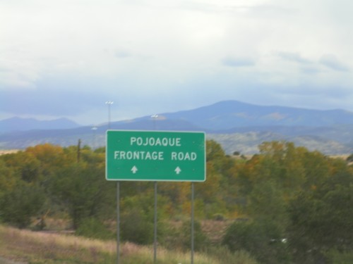
NM-502 East - Pojoaque Frontage Road
Continue ahead on NM-502 East for the Pojoaque Frontage Road. Approaching US-84/US-285 junction in Pojoaque.
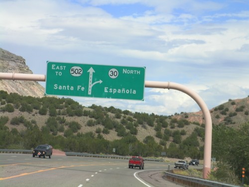
NM-502 East Approaching NM-30
NM-502 East approaching NM-30. Use NM-30 north for Española; continue east on NM-502 for Santa Fe.
End NM-30 South at NM-520
End NM-30 South at NM-520. Use NM-520 west for Los Alamos; use NM-520 east for Santa Fe.
Route Diagram on NM-30 Approaching NM-502
Route Diagram on NM-30 south approaching NM-502. Use NM-502 west for Los Alamos; use NM-502 east for Santa Fe.