Government Camp, Oregon
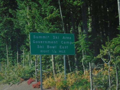
US-26 West - Government Camp
US-26 West approaching Government Camp/Summit Ski Area/Ski Bowl East.
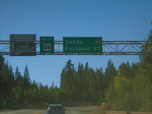
US-26 West - Distance Marker
Distance marker on US-26 west. Distance to Sandy and Portland.
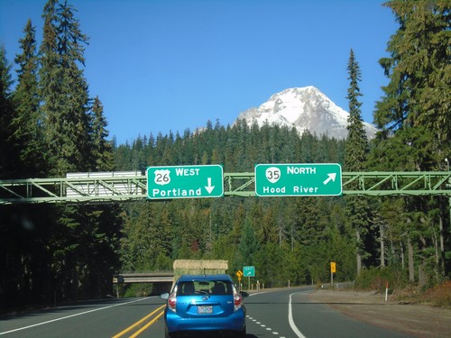
US-26 West at OR-35 North
US-26 West at OR-35 North. Use OR-35 North for Hood River; US-26 West for Portland. Mount Hood is in the background of the photograph.
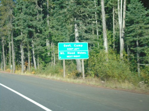
US-26 West Approaching OR-35
US-26 West approaching OR-35 in Clackamas County. Use OR-35 north for Mount Hood Meadows Ski Area; US-26 West for Government Camp.
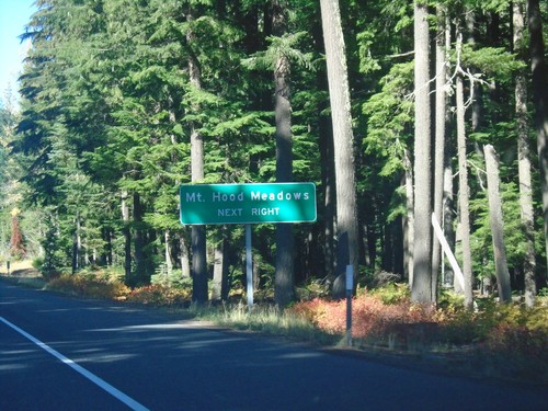
US-26 West - Mount Hood Meadows
US-26 west approaching OR-35 North. Use OR-35 north for Mount Hood Meadows Ski Area.
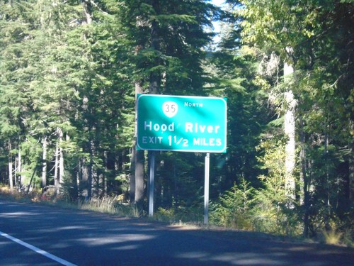
US-26 West Approaching OR-35
US-26 West approaching OR-35 North to Hood River.
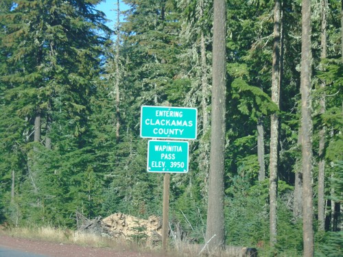
US-26 West - Clackamas County / Wapinita Pass
US-26 West at Clackamas County and Wapinita Pass - Elevation 3952 Feet. Wapinita Pass is at the crest of the Cascade Range.
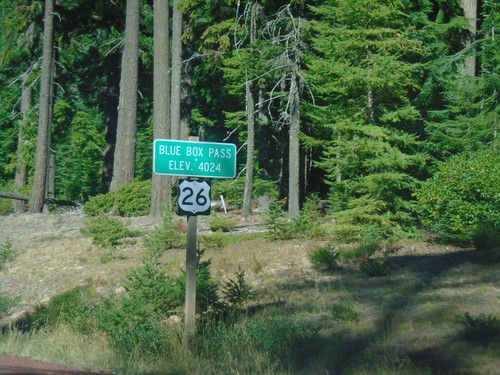
US-26 West - Blue Box Summit
US-26 West at Blue Box Summit - Elevation 4024 Feet.