Halfway, Oregon
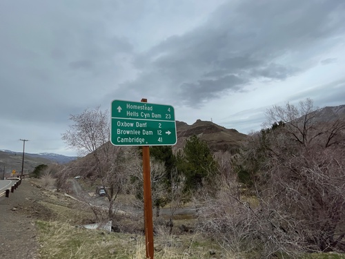
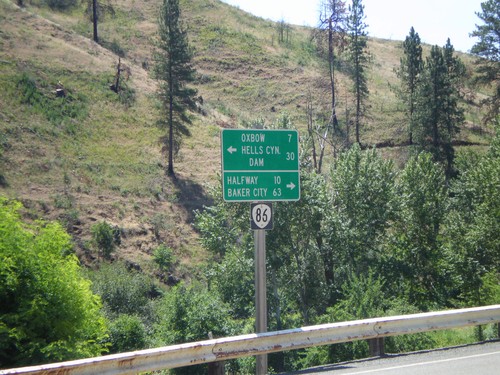
OR-86 East at Brownlee-Oxbow Highway
OR-86 East at Brownlee-Oxbow Highway. Turn right on Brownlee-Oxbow Highway to Oxbow Dam, Brownlee Dam, and Cambridge (Idaho). Continue east on OR-86 for Homestead and Hells Canyon Dam.
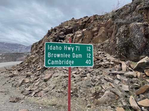
Oxbow-Brownlee Highway South - Distance Marker
Distance Marker on Oxbow-Brownlee Highway south. Distance to Idaho Highway 71, Brownlee Dam, and Cambridge (Idaho). The Oxbow-Brownlee Highway is managed by Idaho Power and connects OR-86 and ID-71, and is part of a network of roads connecting the three Hells Canyon dams.
OR-86 West at OR-86 Spur (Unsigned)
OR-86 West at OR-86 Spur (Unsigned) into Halfway, Oregon. Continue west on OR-86 for Baker City.
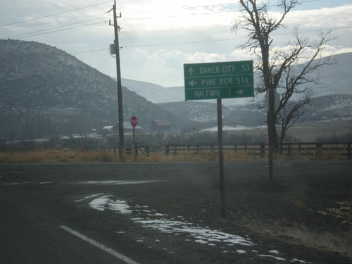
OR-86 West at OR-414
OR-86 west at OR-414 (unsigned). Use OR-414 west for Halfway; continue west on OR-86 for Baker City and Richland.
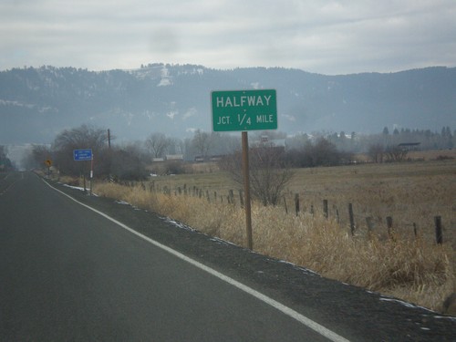
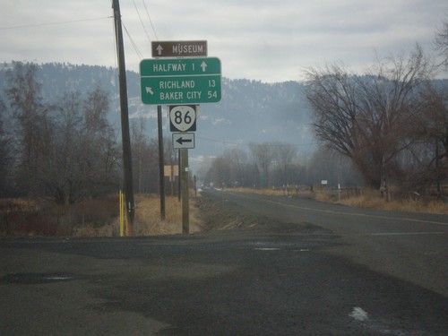
OR-86 West Approaching Halfway Jct.
OR-86 West approaching Halfway Jct (OR-414). OR-414 is unsigned.
OR-86 West NFH-39 Jct.
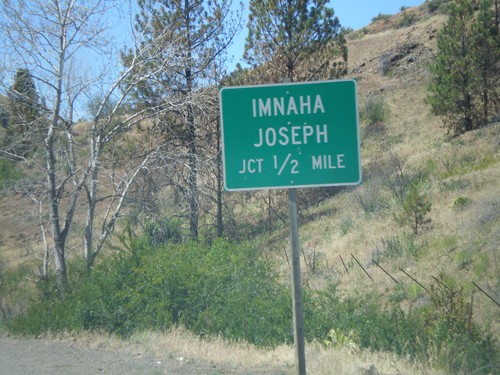
OR-86 west approaching NFH-39 north to Imnaha and Joseph.
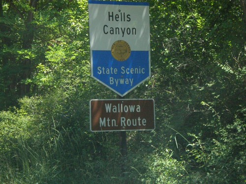
Hells Canyon Scenic Byway NFH-39 North
Hells Canyon Scenic Byway-Wallowa Mountain Loop on NFH-39 north.
End NFH-39 OR-86 Jct.
End NFH-39 south at OR-86 to Oxbow and Halfway.
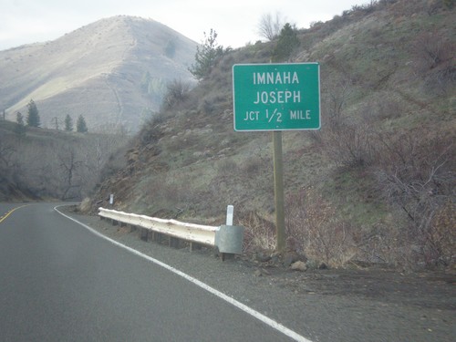
OR-86 West NFH-39 Jct.
OR-86 west approaching NFH-39, Imnaha/Joseph.
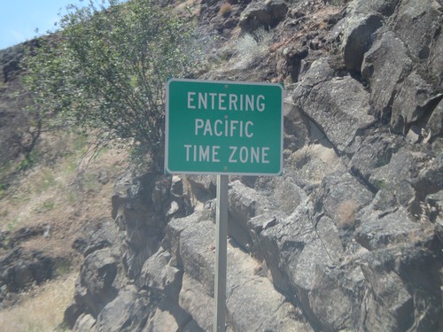
Pacific Time Zone OR-86
Entering Pacific Time Zone on OR-86 west.
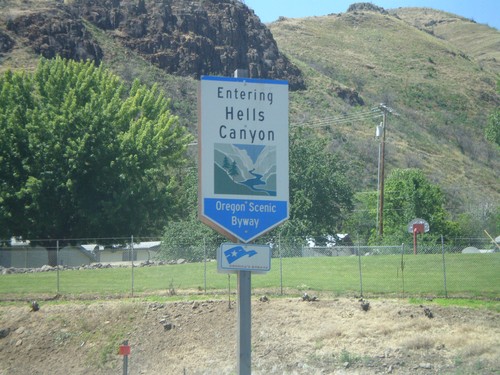
Hells Canyon Scenic Byway OR-86
Hells Canyon Scenic Byway on OR-86 west.
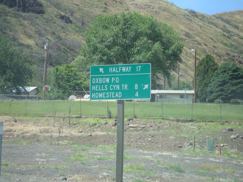
OR-86 at Idaho Power Road
OR-86 west at Idaho Power Road north to Homestead, Hells Canyon Trail, and Oxbow P.O.