Unity, Oregon
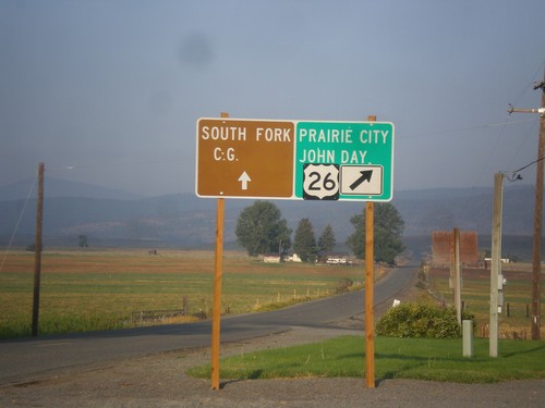
US-26 West - Burnt River Lane
US-26 West at Burnt River Lane in Unity. Merge left for South Fork (Burnt River) Campground. Merge right for US-26 west to Prairie City and John Day.
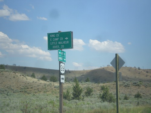
US-26 East - Camp Creek Road
US-26 East at King Creek/East Camp Creek/Little Malheur River junction.
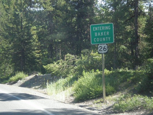
US-26 East - Entering Baker County
Entering Baker County on US-26 East at the summit of the Blue Mountains.
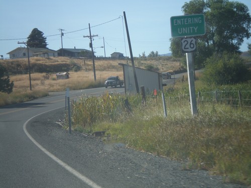
US-26 East - Entering Unity
Entering Unity Oregon on US-26 east.
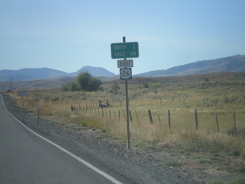
US-26 East - Distance Marker
Distance marker on US-26 east to Unity and Vale.
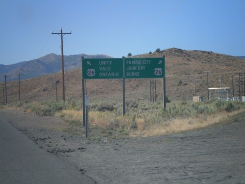
End OR-245 West at US-26
End OR-245 West at US-26. Use US-26 west for Burns, John Day, and Prairie City. Use US-26 east for Unity, Vale and Ontario.
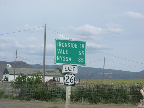
US-26 East - Distance Marker
Distance marker on US-26 east. Distance to Ironside, Vale, and Nyssa.
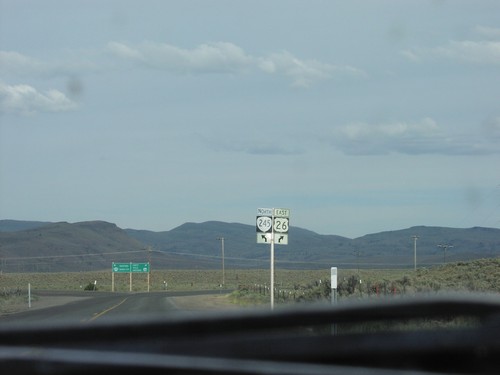
US-26 East Approaching OR-245
US-26 east approaching OR-245 north in Baker County.
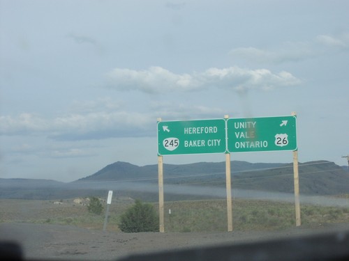
US-26 East at OR-245
US-26 East at OR-245 east to Hereford and Baker City. Continue east on US-26 for Unity, Vale, and Ontario.