Blanding, Utah
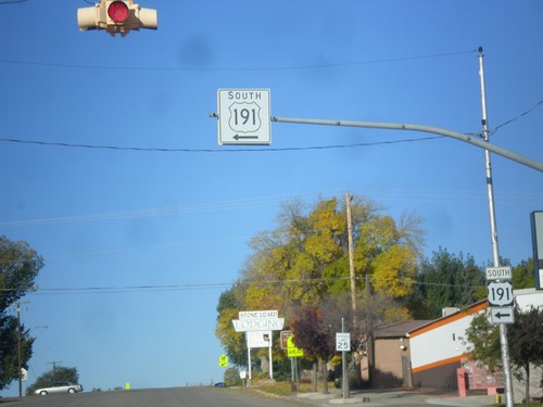
US-191 South at UT-95
US-191 south at UT-95 west, just south of Blanding.
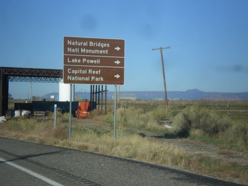
US-191 South Approaching UT-95
US-191 south approaching UT-95 west to Natural Bridges National Monument, Lake Powell, and Capitol Reef National Park.
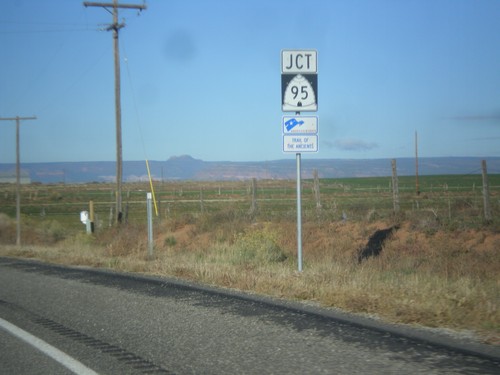
US-191 South Approaching UT-95
US-191 south approaching UT-95. UT-95 is part of the Trail of the Ancients Scenic Byway.
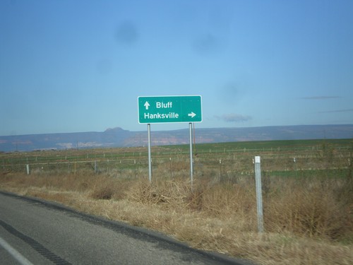
US-191 South Approaching UT-95
US-191 south approaching UT-95 west to Hanksville. Continue south on US-191 to Bluff. This sign is not typical for a junction between two state highways, in that it is not in all capitol letters, and there is not horizontal lines separating the cities.
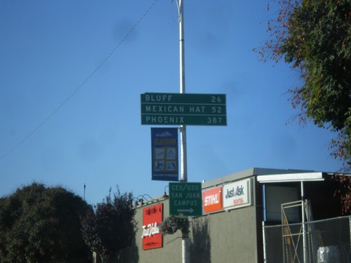
US-191 South - Distance Marker
Distance marker on US-191 south in Blanding. Distance to Bluff, Mexican Hat, and Phoenix. The last city is interesting, because US-191 does not go anywhere near Phoenix. A distance marker between Monticello and Blanding lists Flagstaff as the control city, which is also not on US-191.
US-191 South - Blanding
US-191 south at the Center St./Main St. intersection in Blanding. US-191 turns south on Main St.
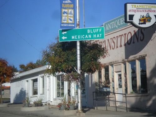
US-191 South - Blanding
US-191 south at Main St. and Center St. in Blanding. US-191 turns south onto Main St. towards Bluff and Mexican Hat.
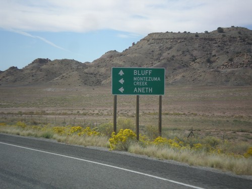
US-191 South Approaching UT-262
US-191 south approaching UT-262 west. Use UT-262 west for Montezuma Creek and Aneth. Continue south on US-191 for Bluff.
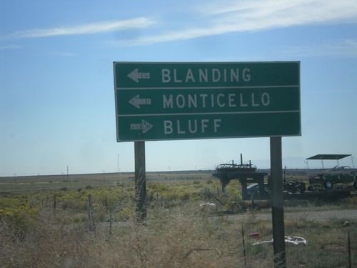
End UT-95 East at US-191
End UT-95 East at US-191. Turn right for Bluff; left for Blanding and Monticello.
End UT-95 Approaching US-191
End UT-95 approaching US-191 in San Juan County.