Hurricane, Utah
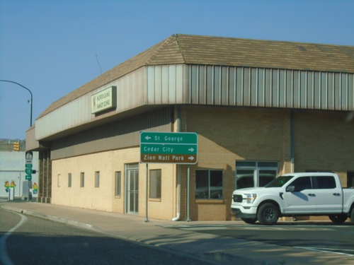
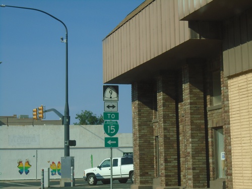
UT-59 West Approaching UT-9
UT-59 West approaching UT-9 in Hurricane. Use UT-9 west for St. George; UT-9 east for Cedar City and Zion National Park.
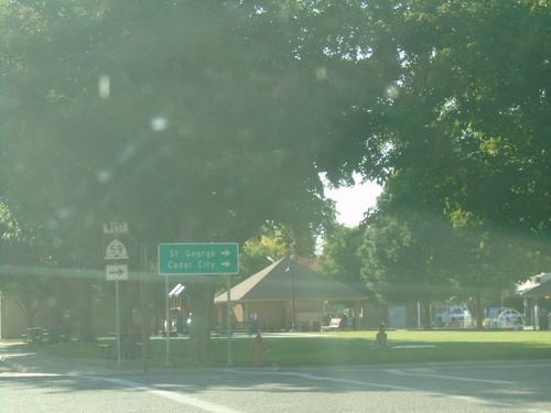
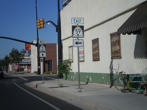
UT-59 West - Hurricane
UT-59 west in Hurricane (E 100 S at Main St.). Turn right to continue west on UT-59 for St. George and Cedar City.
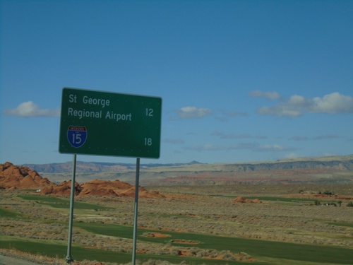
UT-7 West - Distance Marker
Distance marker on UT-7 west. Distance to St. George Regional Airport and I-15.
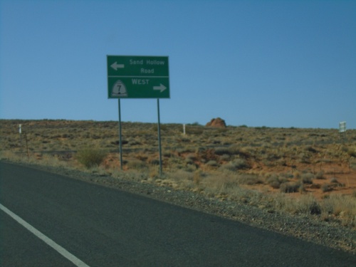
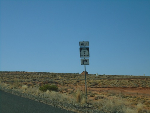
Sand Hollow Road at UT-7 West
Sand Hollow Road at UT-7 west. Turn right for UT-7 west; left to continue on Sand Hollow Road.
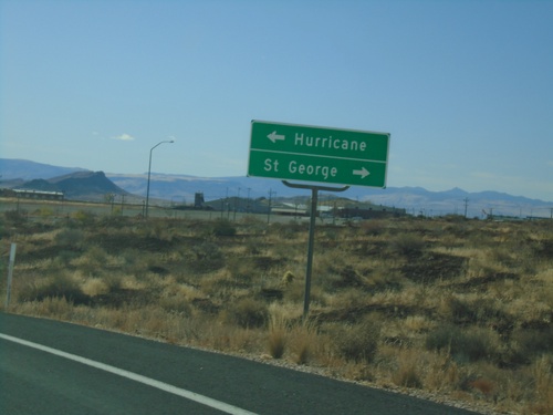
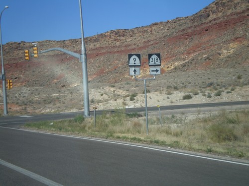
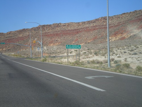
End UT-318 South at UT-9
End UT-318 South at UT-9. Turn left for UT-9 east to Hurricane; right for UT-9 west to St. George (via I-15).
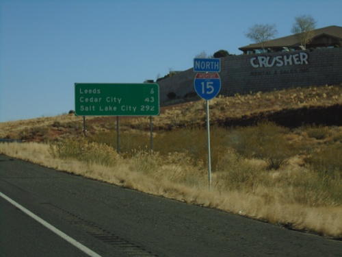
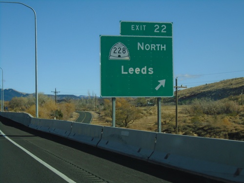
I-15 North - Distance Marker
Distance marker and I-15 shield on I-15 North. Distance to Leeds, Cedar City, and Salt Lake City.
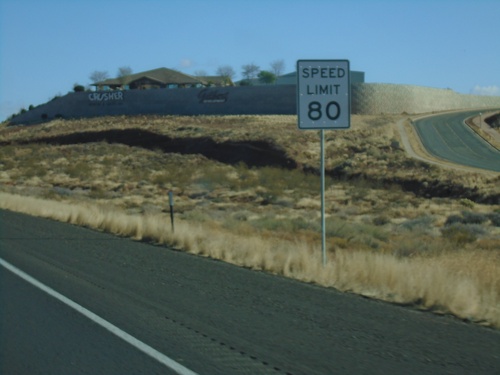
I-15 North - Speed Limit 80
Speed Limit 80 MPH on I-15 north. This is the starting of the 80 MPH zone northbound in Utah.
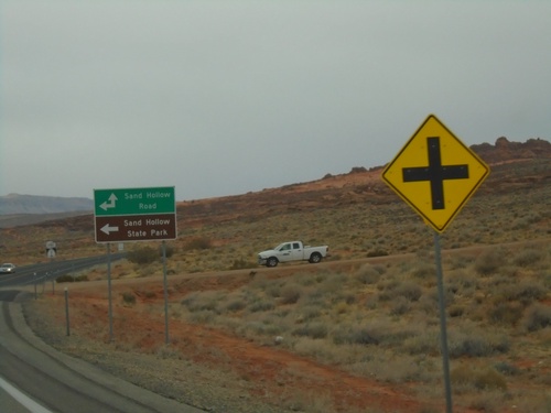
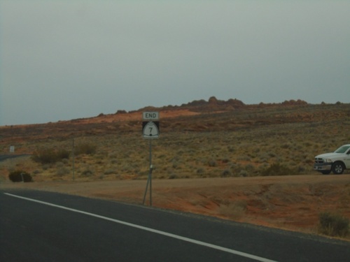
End UT-7 at Sand Hollow Road
End UT-7 (Southern Parkway) at Sand Hollow Road. Turn left on Sand Hollow Road for Sand Hollow State Park.
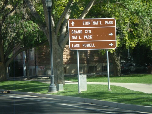
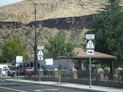
UT-9 East at UT-59
UT-9 east at UT-59. Use UT-59 east for Grand Canyon National Park and Lake Powell. Continue east on UT-9 for Zion National Park.
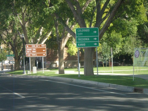
UT-9 East Approaching UT-59
UT-9 east approaching UT-59. Use UT-59 east for Colorado City (AZ), Fredonia (AZ), and Kanab.
