Sevier, Utah
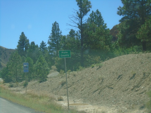
US-89 South - Piute County
Entering Piute County on US-89 south.
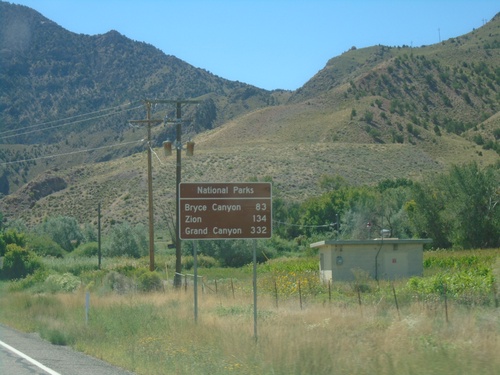
US-89 South - Distance Marker for National Parks
Distance Marker for National Parks on US-89 South. Distance to Bryce Canyon, Zion, and Grand Canyon (South Rim).
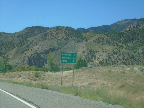
US-89 South - Distance Marker
Distance marker on US-89 south. Distance to Marysvale, Panguitch, and Kanab.
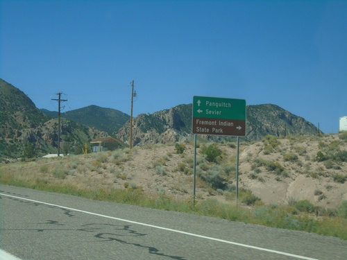
US-89 South - Sevier Highway
US-89 South at Sevier Highway junction. Use Sevier Highway west to Fremont Indian State Park; east to Sevier. Continue south on US-89 for Panguitch.
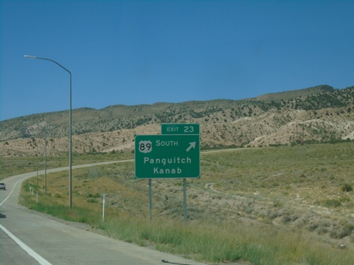
I-70 West - Exit 23
I-70 west at Exit 23 - US-89 South/Panguitch/Kanab. US-89 south leaves I-70 westbound here.
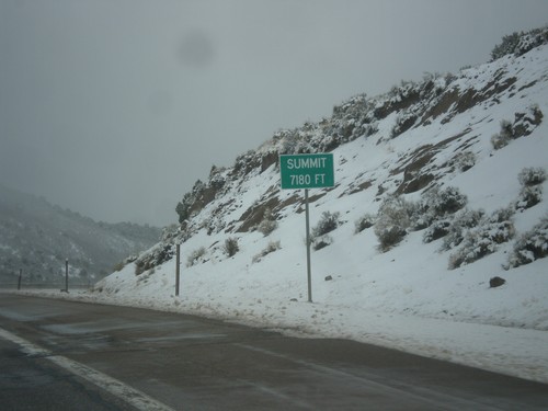
I-70 West - Summit
Summit Elevation 7180 Feet on I-70 west. This is the summit of the Pavant Range.
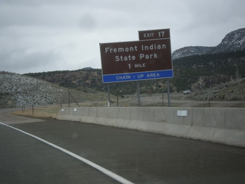
I-70 West - Exit 17
I-70 west approaching Exit 17 - Fremont Indian State Park.
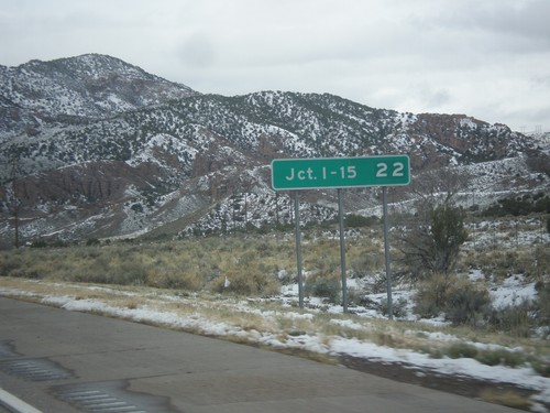
I-70 West - Distance Marker
Distance marker on I-70 west. Distance to Junction I-15.
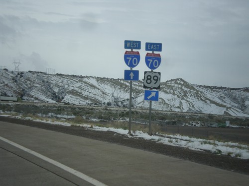
US-89 North at I-70
US-89 North at I-70. Merge right for I-70 East/US-89 north. Continue straight ahead for I-70 West. US-89 North joins I-70 East to Salina.
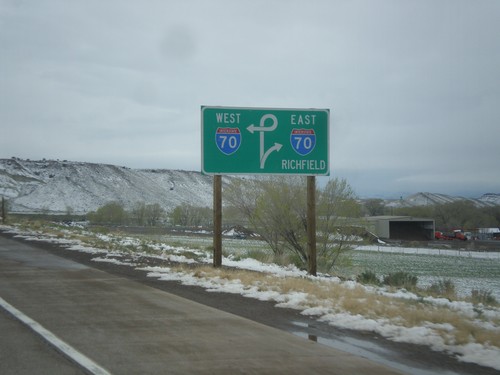
US-89 North Approaching I-70
US-89 North approaching I-70. Use I-70 east for Richfield.
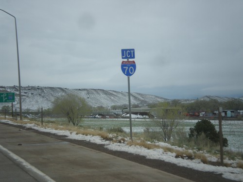
US-89 North Approaching I-70
US-89 North approaching I-70 in Sevier County.
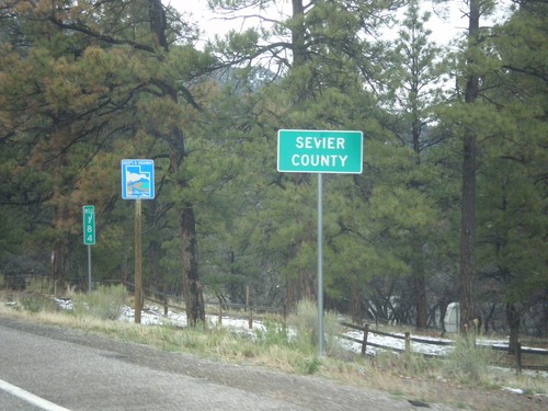
US-89 North - Sevier County
Entering Sevier County on US-89 north.