Signs From August 2000
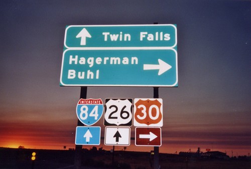
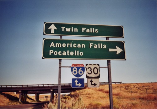
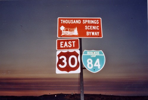
BL-84/US-30 East at US-30 East
BL-84/US-30 east at US-30 east to Hagerman and Buhl. BL-84 meets I-84 and US-26 about 1/4 mile to the east.
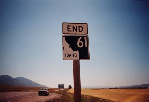
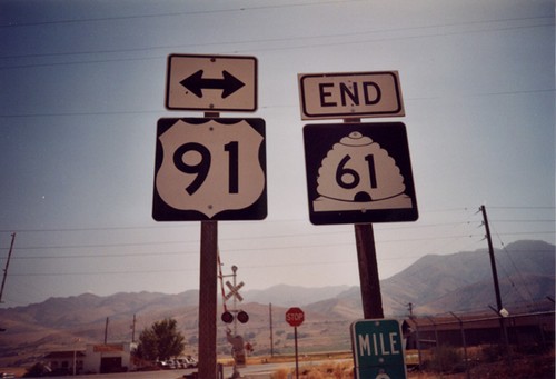
End ID-61 at the Wyoming Border
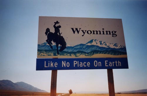
End ID-61 at the Wyoming Border. Highway continues as WY-89. The Wyoming Welcome Sign is in the distance.
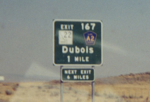
I-15 North Exit 167
I-15 North Exit 167 - ID-22/CR-A2/Dubois. Dubois is the county seat of Clark County, Idaho the smallest (population wise) county in the state.
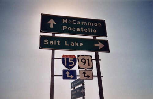
I-15/US-91 Exit 44 Onramp
I-15/US-91 freeway entrance at Exit 44 - Jensen Road (southbound) and BL-15/McCammon (northbound).
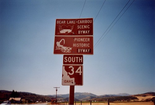
ID-34 South - Scenic Byways
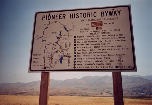
ID-34 Shield, Bear Lake-Caribou Scenic Byway, and Pioneer Historic Byway. Taken at the Idaho/Wyoming Border in the Star Valley.
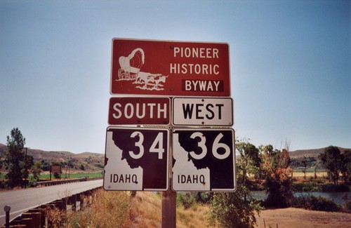
ID-36 West/ID-34 South - Pioneer Historic Byway
Pioneer Historic Byway/ID-34/ID-36 on ID-36 West at the Bear River.
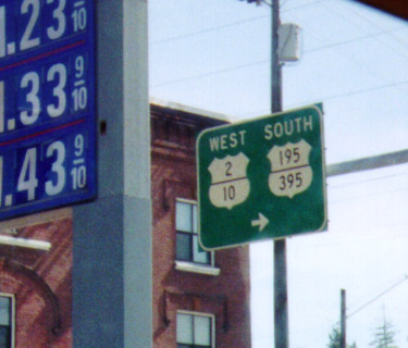
Maple St. South in Spokane - Old US Route Marker
Shields for old routes - US-195/US-2/US-10/US-395 on Maple Street. This is interesting in a few ways. First of all, the stacking of the route numbers within the marker itself. Secondly - US-10 is decommissioned in the western US. US-195 used to end in Sandpoint, ID - following the current route of US-2 through Spokane. Currently US-195 ends a few miles to the west at I-90. Finally, there is no mention of I-90 on this sign, which is where this sign is posted at an onramp to I-90.
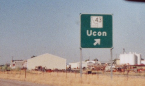
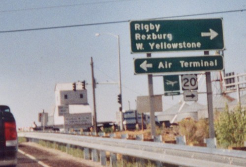
US-20 East at Exit 315 - ID-43/Ucon
ID-43/Ucon Exit on US-20 East. When this photo was taken US-20 did not yet have exit numbers. The have since been assigned.
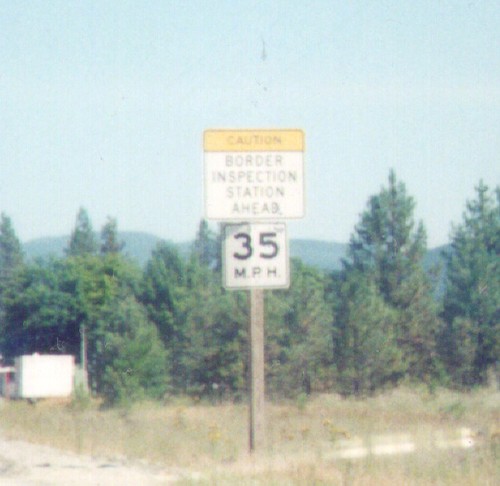
US-395 North Approaching Canadian Border - Laurier
US-395 North approaching the United States - Canada Border. The United States side is Port of Laurier; the Canadian side is Port of Cascade.
US-395 North Approaching United States - Canada Border
US-395 North approaching the United States - Canada Border. The United States side is Port of Laurier; the Canadian side is Port of Cascade.
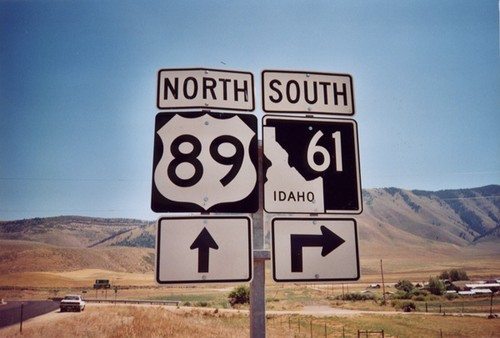
US-89 North at ID-61 South
ID-61 Junction on US-89 North. ID-61 south is the shortest state highway in Idaho.
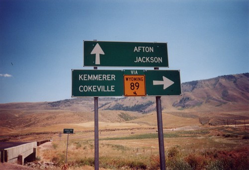
US-89 North at ID-61(To WY-89).
US-89 North at ID-61 To WY-89 Junction. ID-61 is the shortest state route in Idaho ( 0.74 miles long). ID-61 is essentially a spur of WY-89 to connect up with US-89 which heads back into Wyoming.
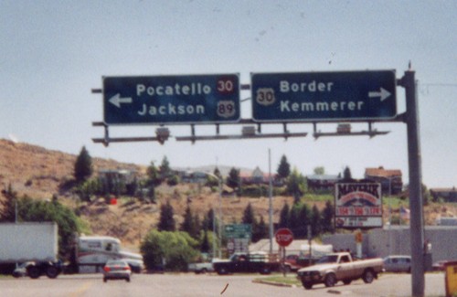
US-89 North at US-30
US-89 North at US-30 East to Border and Kemmerer (WY) and west to Pocatello and Jackson (WY). US-89 follows US-30 west briefly through Montpelier.
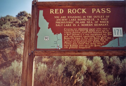
US-91 - Red Rock Pass Historical Marker
Historical Marker on Red Rock Pass, US-91 South. All highways in Idaho have these historical markers. To see all of them check out the Idaho State Historical Marker Guide. Red Rock Pass is where ancient Lake Bonneville - an inland sea, which covered most of the great basin, overflowed into the Snake Plain. Evidence of this great flood is everywhere along the Snake and Columbia Rivers in the Pacific Northwest. This pass marks the divide between the Great Basin and the Snake/Columbia River drainages.
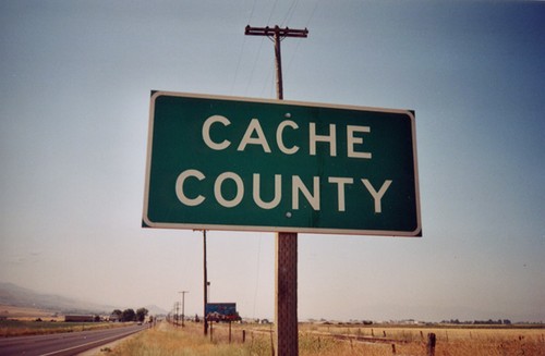
US-91 South - Cache County
Cache County, on US-91 South. This is taken at the Idaho/Utah line. Cache County is the first marker on the state line. If you look in the background of the photo you can see the official welcome sign.
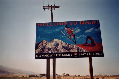
US-91 South - Welcome To Utah
Welcome To Utah on US-91 South. This was taken before the Salt Lake Olympics. Currently, Utah still uses the same style of Welcome Sign.
