Javascript Is Required To Use This Page

Signs From July 2001
Distance Marker on US-20/US-26 East

Distance Marker on US-20/US-26 East

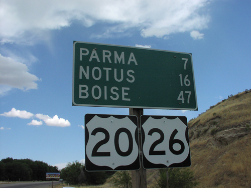
Distance Marker To Notus/Parma/Boise on US-20/US-26 East, ID-OR Border
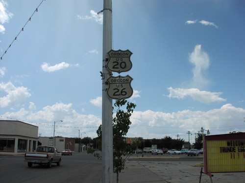
Historic Oregon US-20/US-26 Shields

Historic Oregon US-20/US-26 Shields

Historic Oregon US-20/US-26 shields in downtown Nyssa. This photo was taken in 2001, and were replaced with newer shields sometime in the early 2000’s.
I-80 East - Distance Marker

I-80 East - Distance Marker

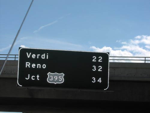
Distance Marker to Reno/Verdi/US-395 on I-80 East

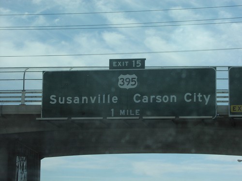
I-80 East Exit 15

I-80 East Exit 15

US-395/Susanville/Carson City Exit on I-80 East

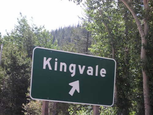
I-80 East Exit 171

I-80 East Exit 171

Kingvale Exit on I-80 East

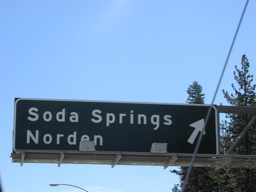
I-80 East Exit 174

I-80 East Exit 174

Soda Springs/Norden Exit on I-80 East

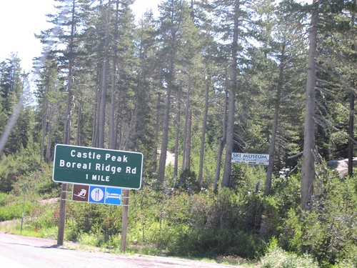
I-80 East Exit 176

I-80 East Exit 176

Castle Peak Area/Boreal Ridge Road Exit at Donner Pass on I-80 East, Nevada Coun

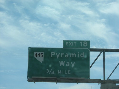
I-80 East Exit 18

I-80 East Exit 18

NV-445/Pyramid Way Exit on I-80 East

I-80 East Exit 185

I-80 East Exit 185

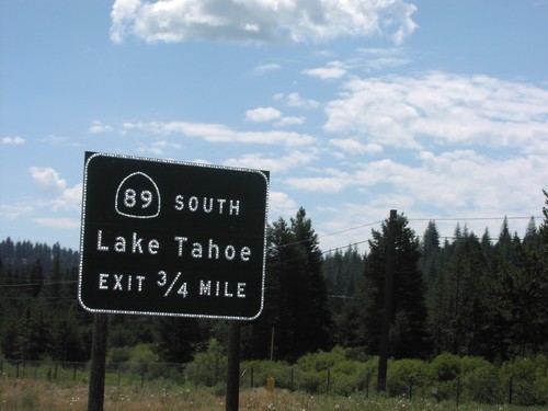
CA-89 South/Lake Tahoe Exit on I-80 East

I-80 East Exit 188A

I-80 East Exit 188A

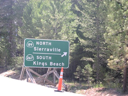
Approaching CA-89/CA-267 Exit on I-80 East. This was taken during the construction for the new interchange resulting in Exits 188AB.
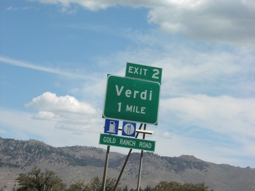
I-80 East Exit 2

I-80 East Exit 2

Verdi Exit on I-80 East

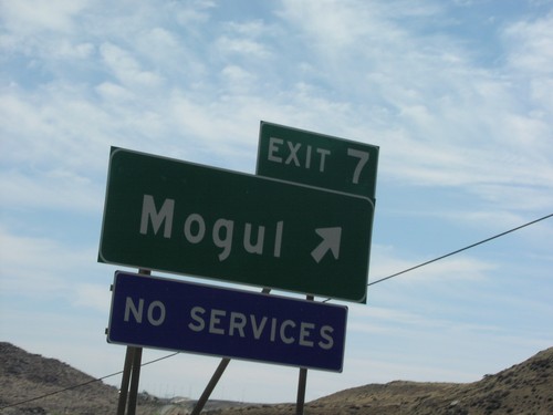
I-80 East Exit 7

I-80 East Exit 7

Mogul Exit on I-80 East

I-80 East Overhead in Reno

I-80 East Overhead in Reno

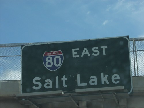
I-80/Salt Lake Overhead on I-80 East

I-84 - Exit 64 Onramp

I-84 - Exit 64 Onramp

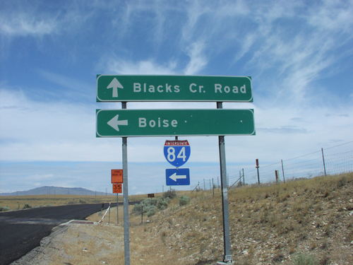
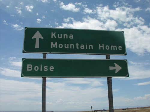
Blacks Creek Road at I-84 (Exit 64). Use I-84 west to Boise; I-84 east to Mountain Home. Continue west on Blacks Creek Road to Kuna.
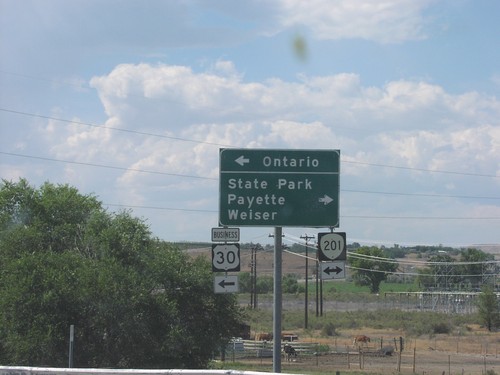
I-84 at Exit 374 - OR-201/Bus. US-30 Jct.

I-84 at Exit 374 - OR-201/Bus. US-30 Jct.

I-84 East (Exit 374) offramp at OR-201/Bus. US-30 Jct. Use OR-201 north to State Park, Payette (Idaho), and Weiser (Idaho). Use OR-201 South/Bus. US-30 for Ontario.
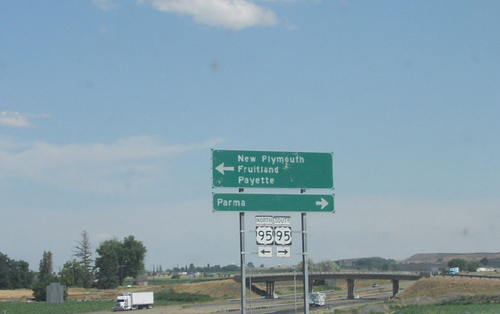
I-84 East - Exit 3 Offramp at US-95

I-84 East - Exit 3 Offramp at US-95

I-84 East (Exit 3) Offramp at US-95. Use US-95 south for Parma; use US-95 north for New Plymouth, Fruitland, and Payette.
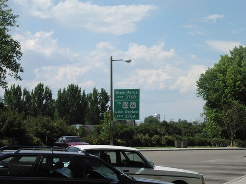
I-84 West - Exit 376

I-84 West - Exit 376

I-84 west approaching Exit 376A and B. Use Exit 376A for US-20/US-26 to Lake Owyhee. Use Exit 376B for State Police.
I-84 West Onramp - Exit 64

I-84 West Onramp - Exit 64

Blacks Creek Road at I-84 west (Exit 64) to Boise.

ID-52 East at ID-72

ID-52 East at ID-72

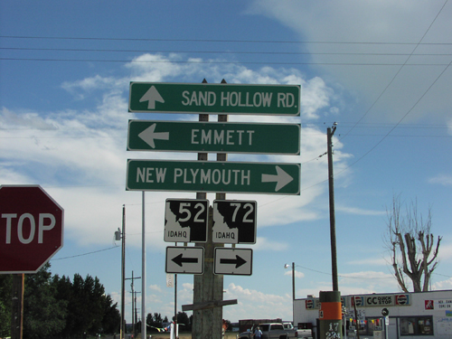
ID-72 Junction to New Plymouth on ID-52 East

OR-201 North at OR-52

OR-201 North at OR-52

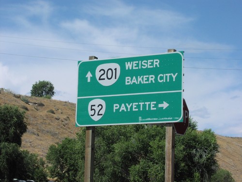
OR-201 north at OR-52 east to Payette (Idaho). Continue north on OR-201 to Weiser (Idaho) and Baker City.
OR-201 South - Owyhee River

OR-201 South - Owyhee River

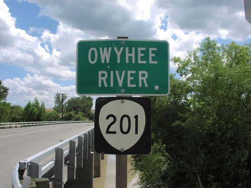
OR-201 South - Owyhee River in Malheur County.

Succor Creek Rd at OR-201

Succor Creek Rd at OR-201

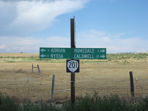
Succor Creek Road north at OR-201. Use OR-201 south to Homedale (Idaho) and Caldwell (Idaho). Use OR-201 north to Adrian and Nyssa. Rural intersections in Oregon often use these types of direction signs.
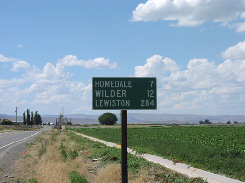
US-95 North - Distance Marker

US-95 North - Distance Marker

Distance marker on US-95 north. Distance to Homedale, Wilder, and Lewiston.
US-95 North at ID-55

US-95 North at ID-55

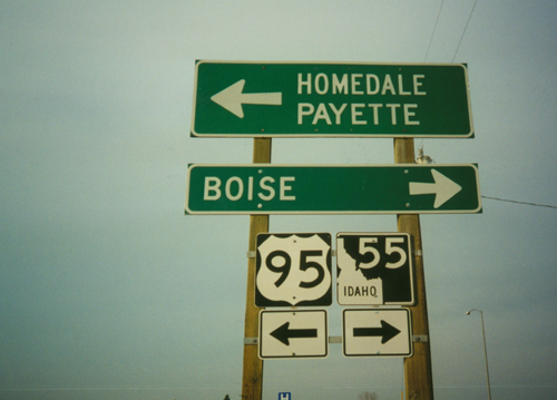
US-95 north at ID-55 near Marsing. Turn right for ID-55 north to Boise. Turn left for US-95 north to Homedale and Payette.

US-95 South at ID-55

US-95 South at ID-55

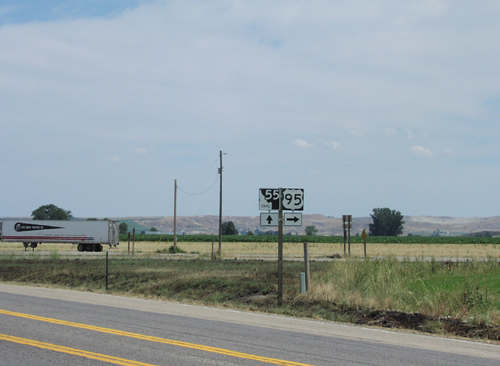
US-95 south at ID-55 junction near Glenns Ferry.

Welcome To Idaho - US-20/US-26 East

Welcome To Idaho - US-20/US-26 East

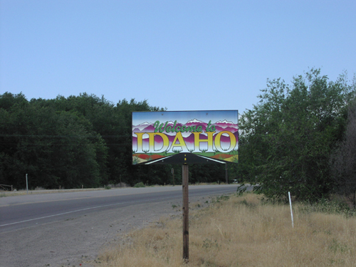
Welcome to Idaho on US-26/US-20 East