Javascript Is Required To Use This Page

Signs From February 2005
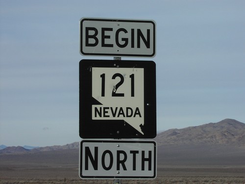
Begin NV-121 North at US-50

Begin NV-121 North at US-50

Begin NV-121 north at US-50 junction in Churchill County.

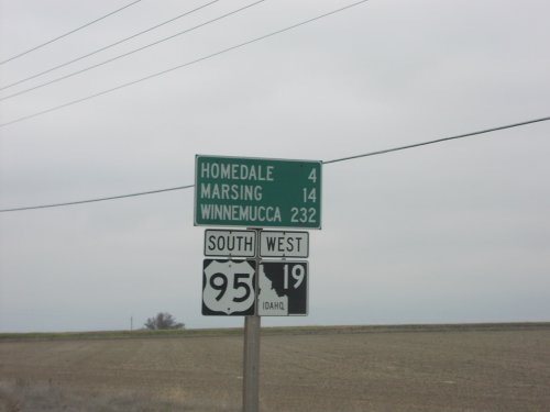
Distance Marker - US-95 South/ID-19 West South of Wilder

Distance Marker - US-95 South/ID-19 West South of Wilder

US-95 South/ID-19 West - Distance Marker. Distance to Homedale, Marsing, and Winnemucca (Nevada).
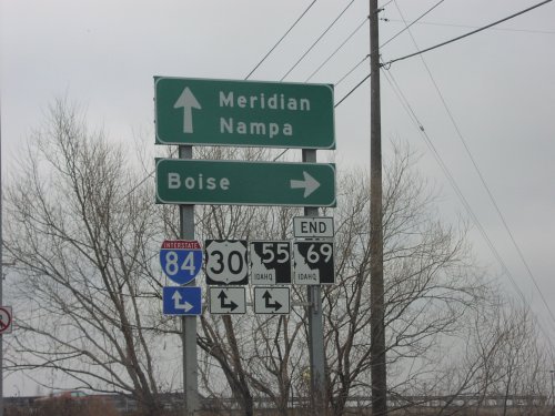
End ID-69 North at I-84/US-30/ID-55

End ID-69 North at I-84/US-30/ID-55

End ID-69 north at I-84/US-30/ID-55 (Exit 44). Use I-84/US-30 East/ID-55 North to Boise; Use I-84/US-30 West/ID-55 South to Nampa. Continue north for Meridian Road into downtown Meridian.
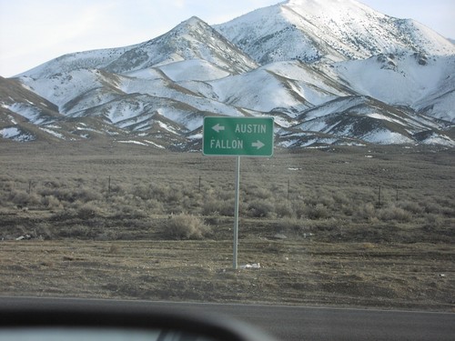
End NV-121 at US-50

End NV-121 at US-50

Directional sign to Austin and Fallon at southern terminus of NV-121 at US-50 in Churchill County.
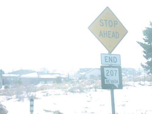
End NV-207 East at NV-206

End NV-207 East at NV-206

End NV-207 shield at NV-206 junction at eastern end of Daggett Pass, Douglas County.
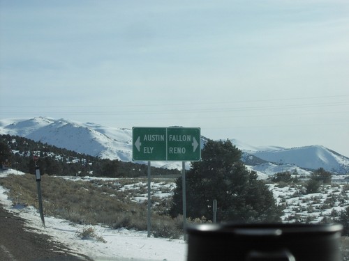
End NV-305 South at US-50

End NV-305 South at US-50

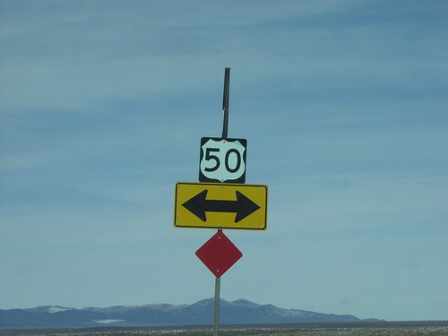
US-50 shield at end of NV-305 south in Austin.

End NV-305 South at US-50

End NV-305 South at US-50

Directional sign to Ely, Austin, Reno, and Fallon at the southern terminus of NV-305 in Austin at US-50.
End NV-722 East at US-50

End NV-722 East at US-50

US-50 shields at eastern terminus of NV-722 at US-50 in Lander County.

I-80 Exit 231 Offramp at NV-305

I-80 Exit 231 Offramp at NV-305

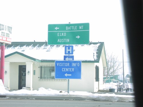
NV-305 at I-80 ramps to Battle Mountain, Elko, and Austin.

I-80 West Approaching Exit 231

I-80 West Approaching Exit 231

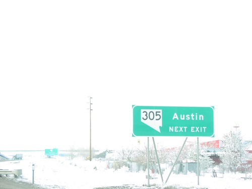
Use Exit 231 for NV-305 south to Austin.

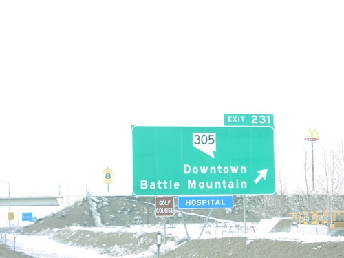
I-80 West Exit 231

I-80 West Exit 231

I-80 at Downtown Battle Mountain interchange in Battle Mountain.

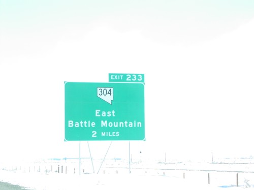
I-80 West Exit 233

I-80 West Exit 233

I-80 approaching East Battle Mountain interchange in Battle Mountain.

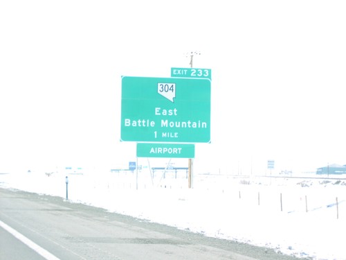
I-80 West Exit 233

I-80 West Exit 233

I-80 approaching East Battle Mountain interchange in Battle Mountain.

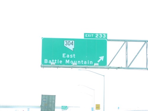
I-80 West Exit 233

I-80 West Exit 233

I-80 at East Battle Mountain interchange in Battle Mountain.

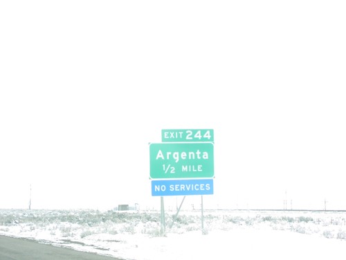
I-80 West Exit 244

I-80 West Exit 244

I-80 at Argenta interchange in Lander County.

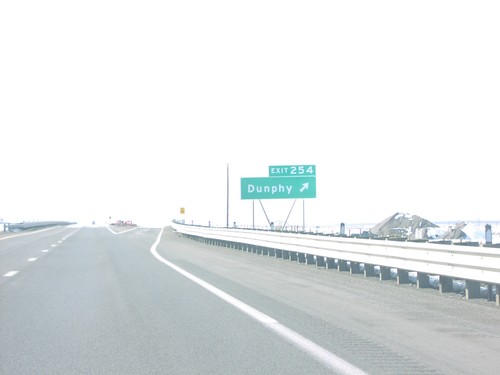
I-80 West Exit 254

I-80 West Exit 254

I-80 at Dunphy interchange in Eureka County.

I-80 West Exit 261

I-80 West Exit 261

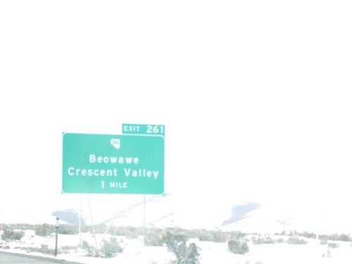
I-80 east approaching Exit 261 - NV-306/Beowawe/Crescent Valley interchange in Eureka County.
I-80 West Exit 261

I-80 West Exit 261

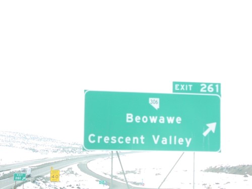
I-80 east at Exit 261 - NV-306/Crescent Valley/Beowawe interchange in Eureka County.
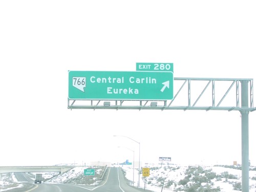
I-80 West Exit 280

I-80 West Exit 280

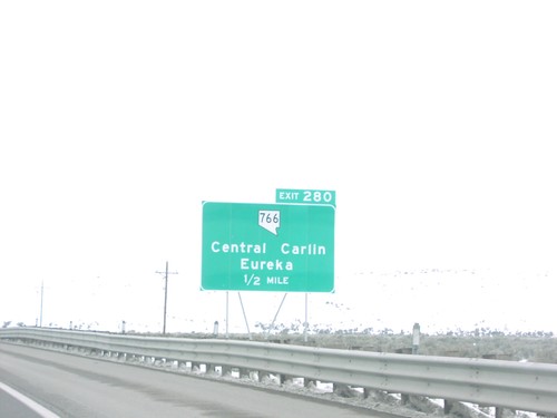
I-80 east at Exit 280 - NV-766/Central Carlin/Eureka interchange in Carlin.

I-80 West Exit 280

I-80 West Exit 280

I-80 east approaching Exit 280 - NV-766/Central Carlin/Eureka interchange in Carlin.
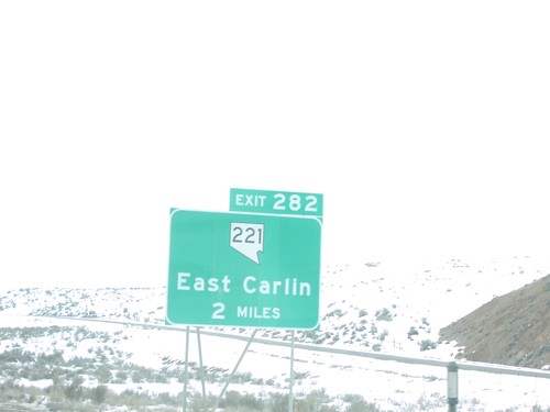
I-80 West Exit 282

I-80 West Exit 282

I-80 east at Exit 282 - NV-221/East Carlin interchange in Carlin

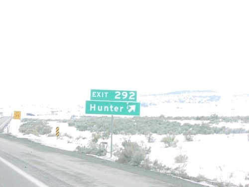
I-80 West Exit 292

I-80 West Exit 292

I-80 east at Exit 292 - Hunter interchange in Elko County.

I-84 West at Exit 374 - OR-201 To US-20/US-26

I-84 West at Exit 374 - OR-201 To US-20/US-26

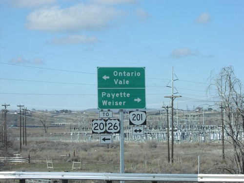
I-84 west Exit 374 offramp at OR-201. Use OR-201 north for Payette (ID) and Weiser (ID). Use OR-201 south for Ontario, Vale and US-20/US-26.
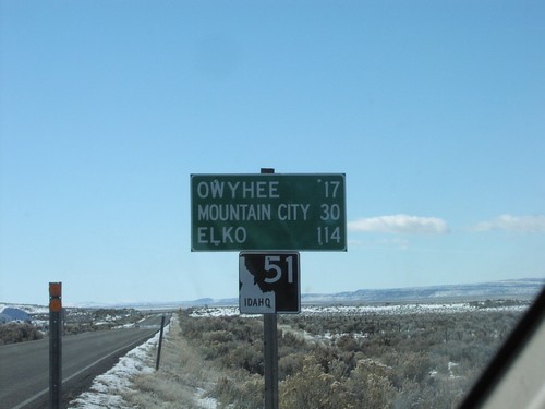
ID-51 South - Distance Marker

ID-51 South - Distance Marker

ID-51 South and distance marker to Owyhee, Mountain City, and Elko in Riddle. Just north of the Duck Valley Indian Reservation.
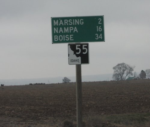
ID-55 North - Distance Marker

ID-55 North - Distance Marker

Distance marker on ID-55 north in Marsing. Distance to Marsing, Nampa, and Boise.
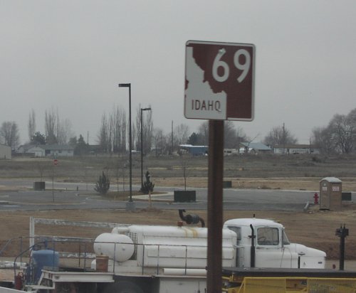
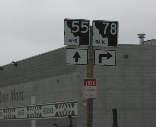
ID-55 North at ID-78

ID-55 North at ID-78

ID-55 north approaching ID-78 junction in Marsing.

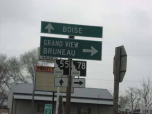
ID-55 North at ID-78 West

ID-55 North at ID-78 West

ID-55 north at ID-78 junction to Grand View and Brueau in Marsing.

ID-69 North - Kuna

ID-69 North - Kuna

ID-69 north in Kuna. ID-69 is signed as the Western Heritage Historic Byway its entire length.
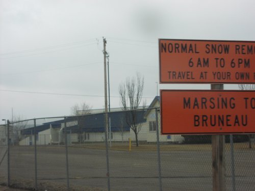
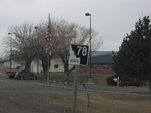
ID-78 East - Marsing

ID-78 East - Marsing

ID-78 east shield in Marsing.

ID-78 East - Snow Removal Hours

ID-78 East - Snow Removal Hours

Sign describing snow removal schedule on ID-78 between Marsing and Bruneau.
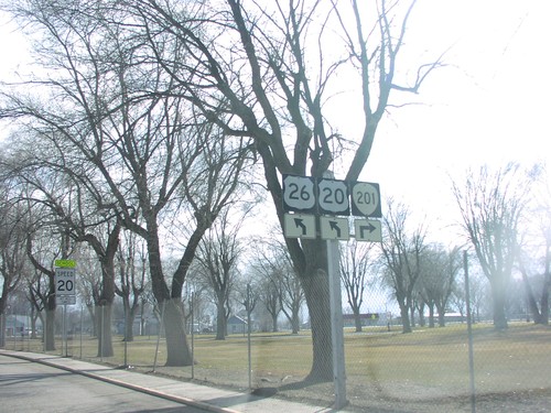
ID-78 East Approaching ID-45

ID-78 East Approaching ID-45

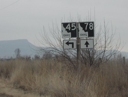
Junction ID-45 on ID-78 east in Owyhee County.

ID-78 East at ID-45

ID-78 East at ID-45

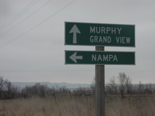
Junction ID-45 north to Nampa on ID-78 east Owyhee County.

ID-78 East At ID-45 North

ID-78 East At ID-45 North

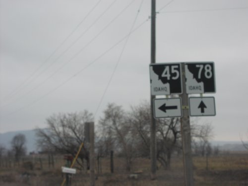
ID-78 east at ID-45 north in Owyhee County.

Jct. ID-45 on ID-78 East

Jct. ID-45 on ID-78 East

Junction ID-45 on ID-78 east in Owyhee County.

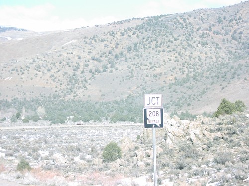
Jct. NV-208 on US-395 North

Jct. NV-208 on US-395 North

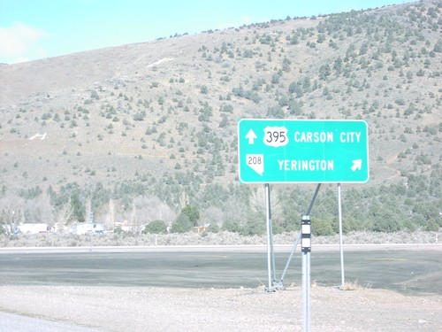
Junction NV-208 on US-395 north, Douglas County.

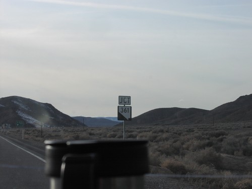
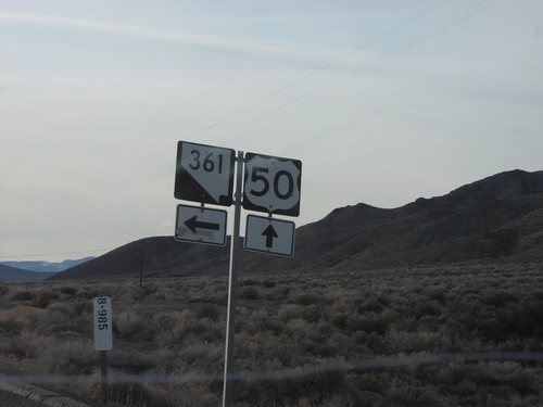
Jct. NV-361 on US-50 West

Jct. NV-361 on US-50 West

Junction NV-361 south on US-50 west in Churchill County.

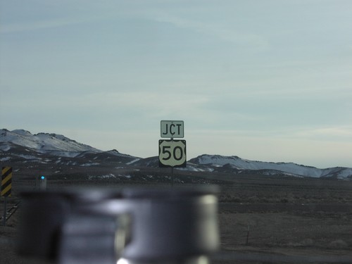
NV-121 South at US-50

NV-121 South at US-50

Junction US-50 on NV-121 south in Churchill County.

NV-305 South at I-80 Exit 231 Onramp

NV-305 South at I-80 Exit 231 Onramp

To I-80 shield at I-80 ramps on NV-305 in Battle Mountain.

NV-722 - Lander County

NV-722 - Lander County

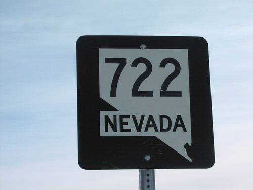
NV-722 shield at beginning of NV-722 west in Lander County.

OR-201 South To US-20/US-26

OR-201 South To US-20/US-26

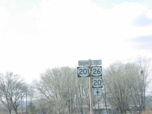
OR-201 south to US-20/US-26 on the Yturri Beltline in Ontario.

OR-201 South/US-20/US-26 East At OR-201 Jct.

OR-201 South/US-20/US-26 East At OR-201 Jct.

OR-201 South/US-20/US-26 East approaching US-20/US-26/OR-201 split in Nyssa.
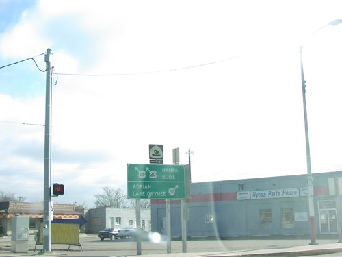
US-20/US-26 East at OR-201 South

US-20/US-26 East at OR-201 South

US-20/US-26 East/OR-201 South at US-20/US-26/OR-201 split. Merge right for OR-201 south to Adrian and Lake Owyhee. Merge left for US-20/US-26 East to Nampa (ID) and Boise (ID).
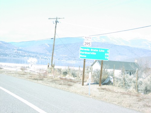
US-20/US-26 East at US-95

US-20/US-26 East at US-95

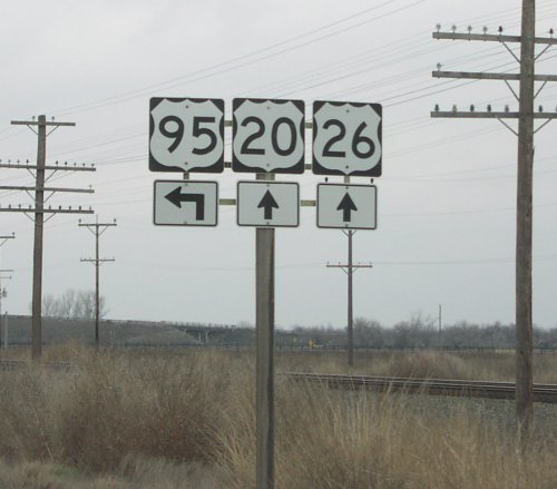
US-20/US-26 east at US-95 junction in Payette County.

US-20/US-26 East at US-95 South

US-20/US-26 East at US-95 South

US-20/US-26 east at US-95 south junction in Parma.

US-20/US-26 East/US-95 South

US-20/US-26 East/US-95 South

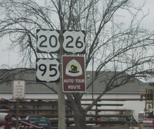
US-20/US-26 east, US-95 south and Oregon Trail shields in Parma.

US-395 North - Distance Marker

US-395 North - Distance Marker

Distance marker to Nevada, Carson City, and Reno on US-395 north in Topaz.
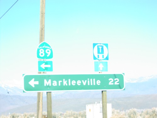
US-395 North Approaching NV-208

US-395 North Approaching NV-208

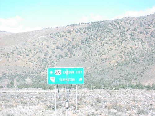
NV-208 to Yerrington on US-395 north, Douglas County.

US-395 North at CA-89 North

US-395 North at CA-89 North

Distance marker to Markleeville on US-395 north at CA-89 junction in Topaz. This is the southern end of CA-89.
US-395 North at NV-208

US-395 North at NV-208

NV-208/US-395 split on US-395 north, Douglas County.

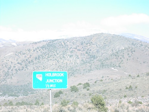
US-395 South Approaching NV-208/Holbrook Jct.

US-395 South Approaching NV-208/Holbrook Jct.

US-395 South approaching NV-208 junction, Douglas County.
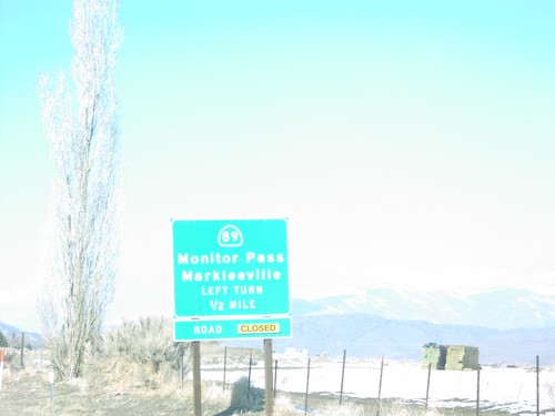
US-395 South at CA-89

US-395 South at CA-89

US-395 north at CA-89 junction to Markleeville and Monitor Pass in Topaz. Monitor Pass is closed when this was taken.
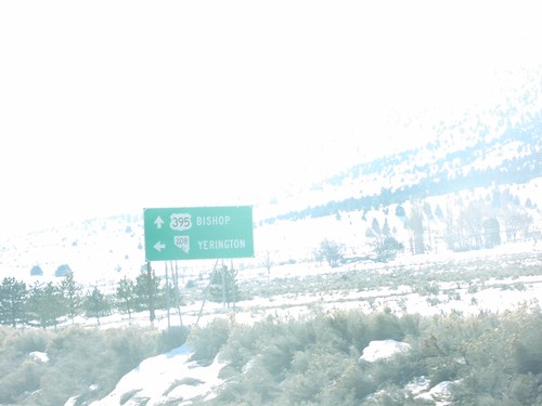
US-395 South at NV-208 Jct.

US-395 South at NV-208 Jct.

US-395 south at NV-208 junction to Bishop and Yerrington, Douglas County.
US-50 West - Silver Springs

US-50 West - Silver Springs

Entering Silver Springs on US-50 west.

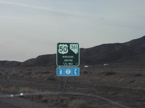
US-50 West Approaching NV-361

US-50 West Approaching NV-361

US-50 west approaching Middlegate Junction in Churchill County.

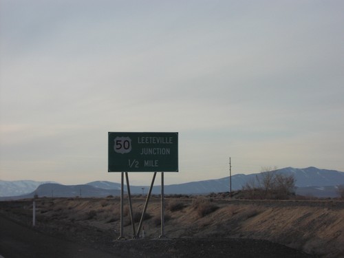
US-50 West Approaching US-50A - Leeteville Jct.

US-50 West Approaching US-50A - Leeteville Jct.

Approaching US-50/Alt US-50 junction in Churchill County.
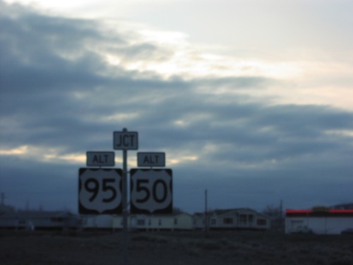
US-50 West Approaching US-95 Alt./US-50 Alt.

US-50 West Approaching US-95 Alt./US-50 Alt.

US-50 west at Alt US-50/Alt US-95 junction in Silver Springs.
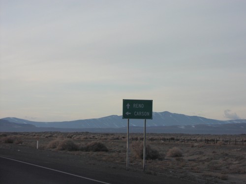
US-50 West at Alt. US-50

US-50 West at Alt. US-50

Directional marker on US-50 west at Alt US-50 junction to Reno and Carson City.
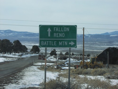
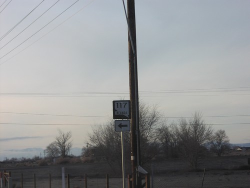
US-50 West at NV-117

US-50 West at NV-117

NV-117 shield on US-50 west in Churchill County.

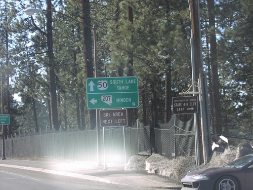
US-50 West at NV-207 East

US-50 West at NV-207 East

US-50 west at NV-207/Kingsbury Grade junction in Stateline.

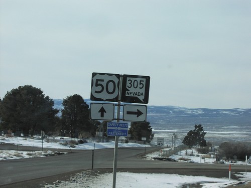
US-50 West at NV-305 North

US-50 West at NV-305 North

US-50 west at NV-305 north in Austin.

US-50 West at NV-305 to Battle Mountain

US-50 West at NV-305 to Battle Mountain

Directional sign to Battle Mountain, Fallon, and Reno on US-50 west at NV-305 north.
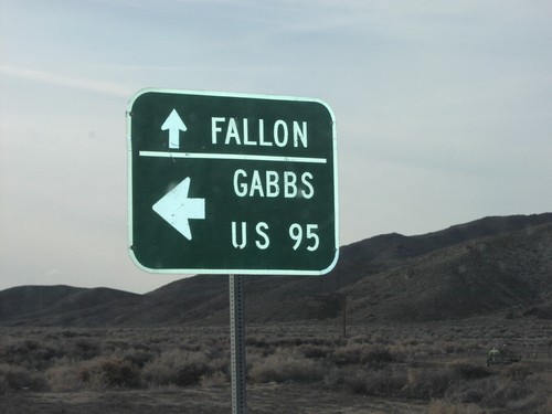
US-50 West at NV-361 South

US-50 West at NV-361 South

NV-361/US-50 junction in Churchill County.

US-50 West at NV-361 South to Gabbs

US-50 West at NV-361 South to Gabbs

Directional marker to US-95, Gabbs, and Fallon on US-50 west at NV-361 junction in Churchill County.
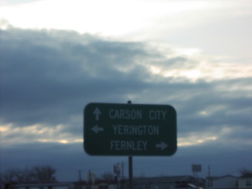
US-50 West at US-95 Alt./US-50 Alt.

US-50 West at US-95 Alt./US-50 Alt.

Directional marker to Fernley, Yerrington, and Carson City on US-50 west at Alt US-50/Alt US-95 junction in Silver Springs.
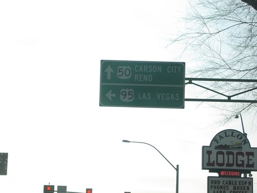
US-50 West at US-95 North to Winnemucca

US-50 West at US-95 North to Winnemucca

US-50 west at US-95 north junction to Winnemucca in Fallon.

US-50 West at US-95 South to Las Vegas

US-50 West at US-95 South to Las Vegas

US-50 west at US-95 south junction to Las Vegas in Fallon.

US-95 South - Entering Owyhee County and Snake River

US-95 South - Entering Owyhee County and Snake River

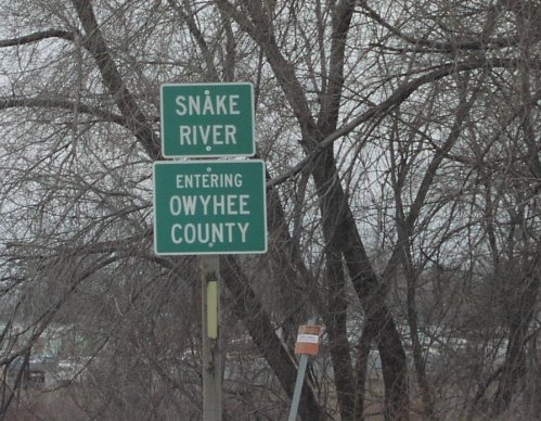
US-95 South/ID-19 West - Entering Owyhee County / Snake River.
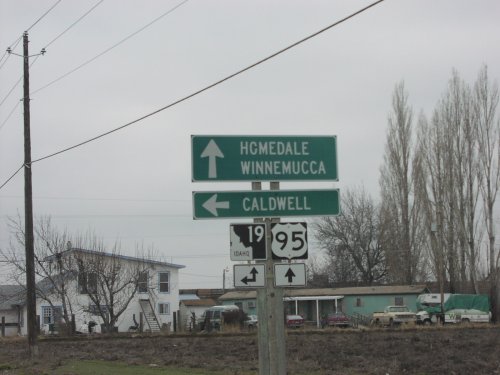
US-95 South Approaching ID-19 East

US-95 South Approaching ID-19 East

US-95 South approaching ID-19 East. Use ID-19 east to Caldwell. Continue south on US-95 and ID-19 West for Homedale and Winnemucca (Nevada). ID-19 joins US-95 south to Homedale.
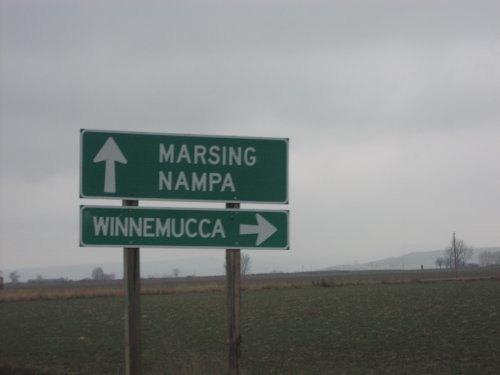
US-95 South Approaching ID-55

US-95 South Approaching ID-55

US-95 south approaching ID-55. Turn right to continue south on US-95 to Winnemucca (Nevada); straight for ID-55 north to Marsing and Nampa.
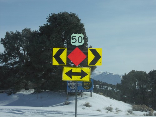
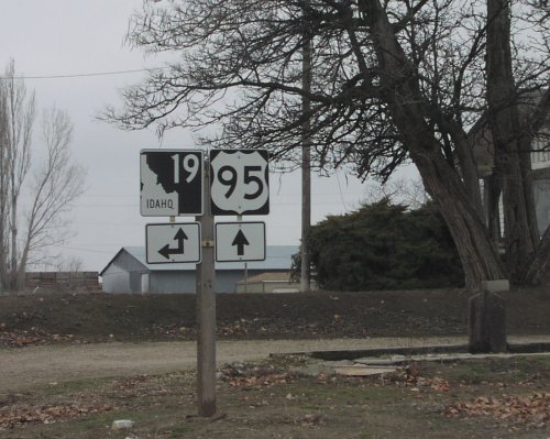
US-95 South At ID-19 East

US-95 South At ID-19 East

US-95 south at ID-19 east in Wilder. Turn left for ID-19 east. Continue straight for ID-19 west and US-95 south. ID-19 joins US-95 south to Homedale.
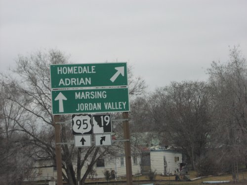
US-95 South/ID-19 At ID-19 West

US-95 South/ID-19 At ID-19 West

US-95 South/ID-19 West At US-95/ID-19 split. Merge right for ID-19 west to Homedale and Adrian (Oregon). Continue south on US-95 for Marsing and Jordan Valley (Oregon).