Javascript Is Required To Use This Page

Signs From September 2005
BC-3 East - Crowsnest Highway

BC-3 East - Crowsnest Highway

BC-3 (Crowsnest Highway) shield

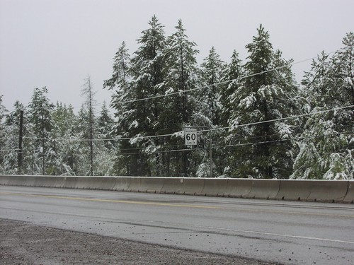
BC-3 East - Maximum 60 km/h

BC-3 East - Maximum 60 km/h

Maximum 60 km/h on BC-3 west

BC-3 East BC-93 South Jct.

BC-3 East BC-93 South Jct.

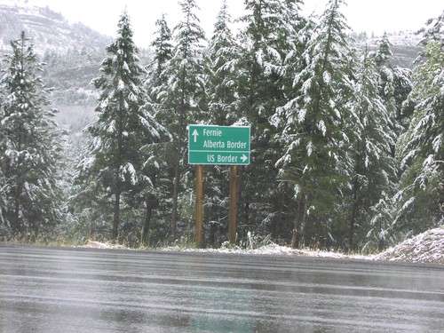
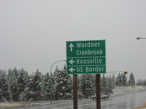
BC-3 east at BC-93 south to US Border

BC-3 East BC-93 South Jct.

BC-3 East BC-93 South Jct.

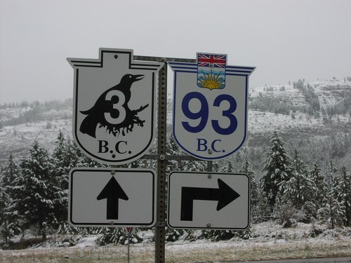
Closeup of BC-3 (Crowsnest Hwy)/BC-93 shields on BC-3 east

BC-3 West BC-93 South

BC-3 West BC-93 South

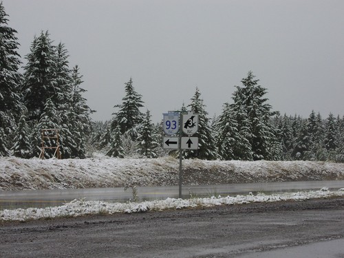
BC-3/BC-93 junction on BC-3 west

BC-3 West BC-93 South Jct.

BC-3 West BC-93 South Jct.

BC-93 south to Roosville and US Border on BC-3 west

Distance Marker on BC-3 West

Distance Marker on BC-3 West

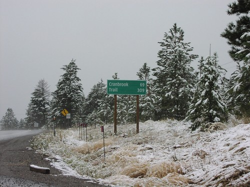
Distance marker to Cranbrook and Trail on BC-3 east. 100 km/h sign in background.
Distance Marker on BC-93 South

Distance Marker on BC-93 South

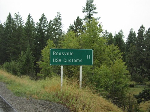
Distance marker to Roosville and US Border on BC-93 south

Distance Marker on BC-93 South

Distance Marker on BC-93 South

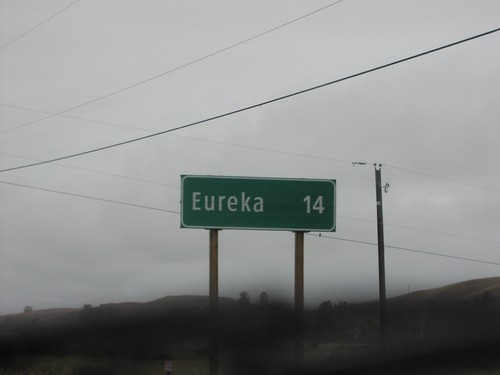
Distance marker to Eureka, Montana on BC-93 south

End MT-35 South at US-93

End MT-35 South at US-93

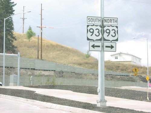
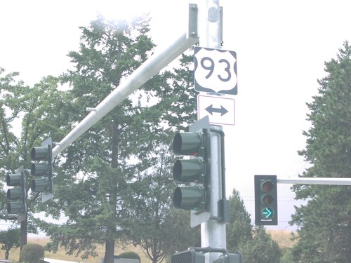
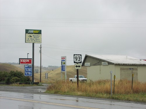
US-93 North/South at southern end of MT-35

End MT-35 South at US-93

End MT-35 South at US-93

Southern end of MT-35 at US-93

End MT-37 North at US-93

End MT-37 North at US-93

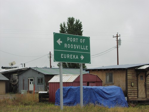
End MT-37 North at US-93. Turn left for US-93 north to the Port of Roosville (Canadian Border). Turn right for US-93 south to Eureka.
End MT-37 North at US-93

End MT-37 North at US-93

End MT-37 north at US-93 in Lincoln County.

End MT-40 East at US-2

End MT-40 East at US-2

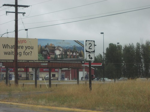
End MT-40 east at US-2 in Columbia Falls.

I-90 East - Missoula Exits

I-90 East - Missoula Exits

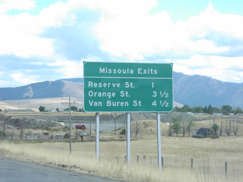
I-90 East - Missoula Exits: Reserve St., Orange St., Van Buren St.

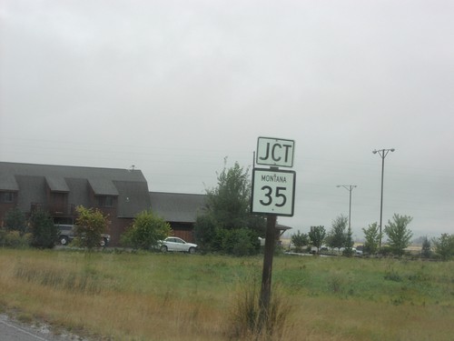
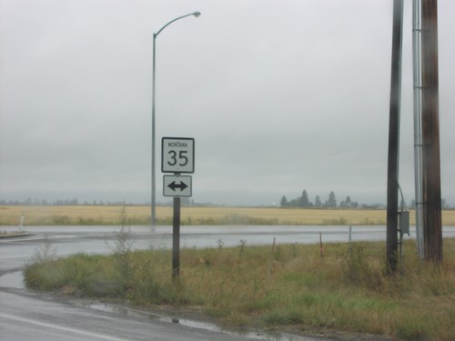
MT-206 South at MT-35

MT-206 South at MT-35

End MTS-206 south at MT-35 junction.

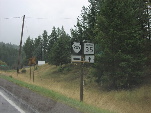
MT-35 South at MTS-209

MT-35 South at MTS-209

US-93 south at MTS-209

MT-37 South Distance Marker

MT-37 South Distance Marker

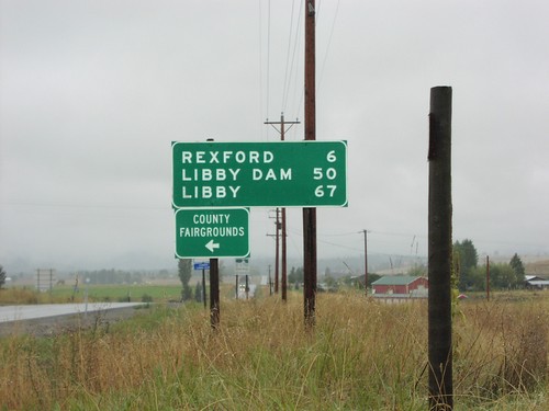
Distance marker to Rexford, Libby, and Libby Dam at northern beginning of MT-37
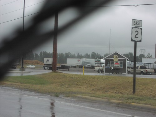
US-2 East - Columbia Falls

US-2 East - Columbia Falls

US-2 east in Columbia Falls.

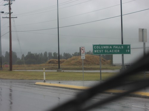
US-2 East - Distance Marker

US-2 East - Distance Marker

Distance marker on US-2 east to Columbia Falls and West Glacier

US-2 East at MTS-206

US-2 East at MTS-206

US-2 East at MTS-206 in Columbia Falls.

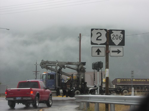
US-2 East at MTS-206 South

US-2 East at MTS-206 South

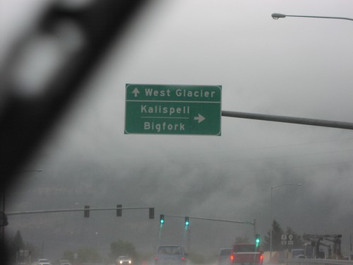
US-2 east at MTS-206 south to Kalispell and Bigfork. Continue east on US-2 to West Glacier.
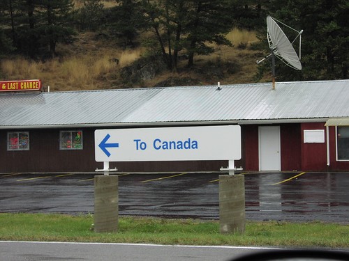
US-93 North - To Canada

US-93 North - To Canada

Turn right for Canada. Taken at the exit of US Customs station

US-93 South - Distance Marker

US-93 South - Distance Marker

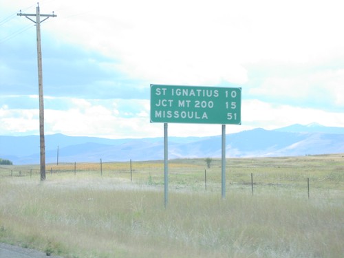
Distance marker on US-93 south in Lake County. Distance to St. Ignatius, Jct. MT-200, and Missoula.
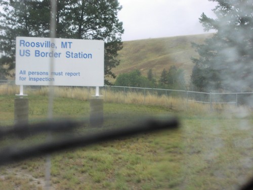
US-93 South - US Border Station

US-93 South - US Border Station

US-93 south at the Port of Roosville, United States Border Station.

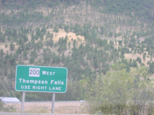
US-93 South Approaching MT-200 West

US-93 South Approaching MT-200 West

US-93 south approaching MT-200. For MT-200 West to Thompson Falls, use right lane.
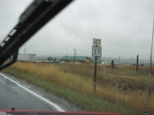
US-93 South Approaching MT-37

US-93 South Approaching MT-37

US-93 south approaching MT-37 in Lincoln County.

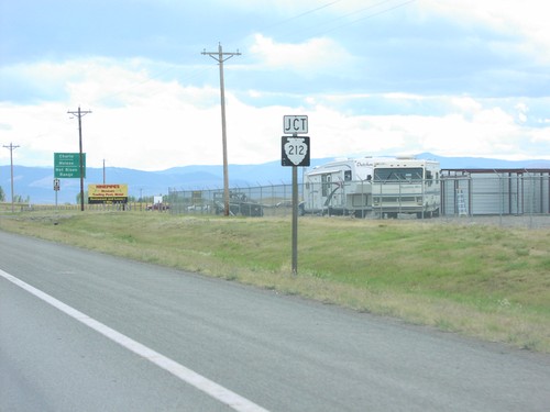
US-93 South Approaching MTS-212

US-93 South Approaching MTS-212

US-93 South approaching MTS-212 in Lake County.

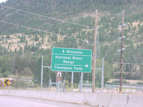
US-93 South At MT-200

US-93 South At MT-200

US-93 south at MT-200. Use MT-200 West for National Bison Range and Thompson Falls. Use US-93 South/MT-200 East to Missoula. MT-200 East joins US-93 south to Missoula.
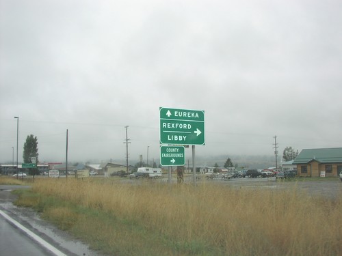
US-93 South At MT-37

US-93 South At MT-37

US-93 south at MT-37 south to Rexford and Libby. Continue south on US-93 for Eureka.
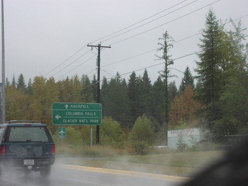
US-93 South At MT-40

US-93 South At MT-40

US-93 south at MT-40 east to Columbia Falls and Glacier National Park. Continue south on US-93 for Kalispell.
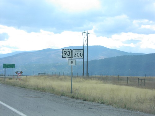
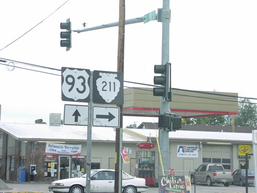
US-93 South at MTS-211

US-93 South at MTS-211

US-93 south at MTS-211 in Ronan.

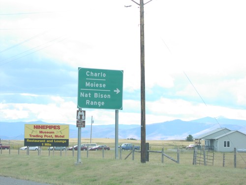
US-93 South At MTS-212

US-93 South At MTS-212

US-93 South at MTS-212 west to Moiese, Charlo, and the National Bison Range.

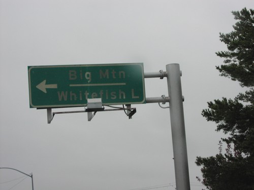
US-93 South at MTS-487

US-93 South at MTS-487

US-93 south at MTS-487 north to Big Mountain (Ski Area) and Whitefish Lake.

US-93 South/MT-200 East Approaching I-90

US-93 South/MT-200 East Approaching I-90

US-93 South/MT-200 East approaching I-90 in Missoula County.
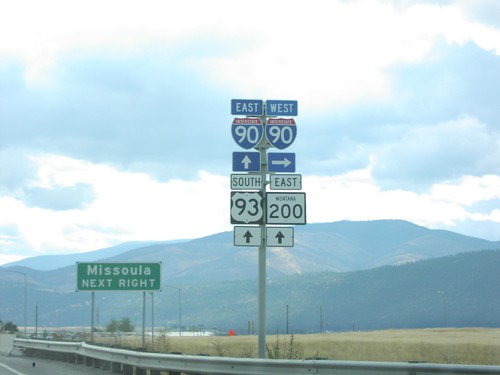
US-93 South/MT-200 East At I-90

US-93 South/MT-200 East At I-90

US-93 South/MT-200 East at I-90. Turn right for I-90 West; proceed over freeway for I-90 East/US-93/MT-200 East to Missoula.
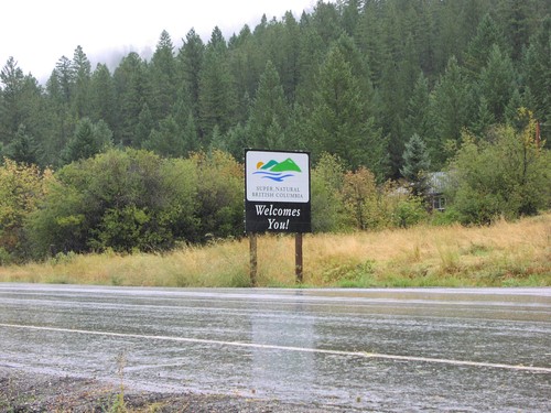
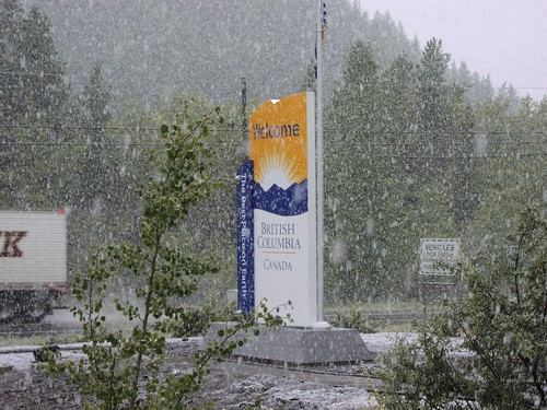
Welcome To British Columbia, BC-93 North

Welcome To British Columbia, BC-93 North

Welcome to British Columbia on BC-93 north

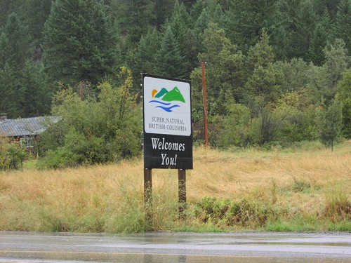
Welcome To British Columbia, BC-93 North

Welcome To British Columbia, BC-93 North

Super natural British Columbia Welcomes You on BC-93 north

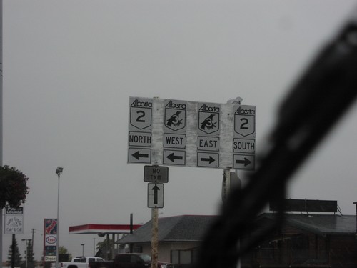
AB-2 North/AB-3 West

AB-2 North/AB-3 West

AB-3 (Crowsnest) West/AB-2 North shields

AB-2 South AB-3 Jct.

AB-2 South AB-3 Jct.

AB-3 at AB-2 North/South split

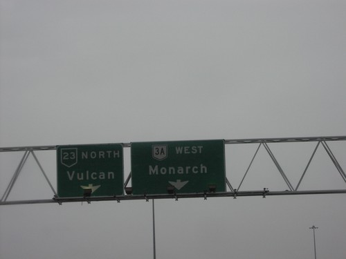
AB-23 North at AB-3A

AB-23 North at AB-3A

AB-23 north at AB-3A interchange to Monarch

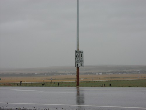
AB-3 East at AB-6 Jct.

AB-3 East at AB-6 Jct.

AB-3 east (Crowsnest Highway) at AB-6 south.

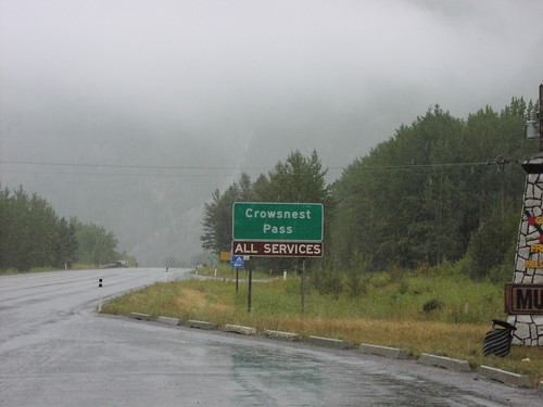
AB-3 East Crowsnest Pass

AB-3 East Crowsnest Pass

Crowsnest Pass - All Services on AB-3 east

AB-3 West 13th St Exit

AB-3 West 13th St Exit

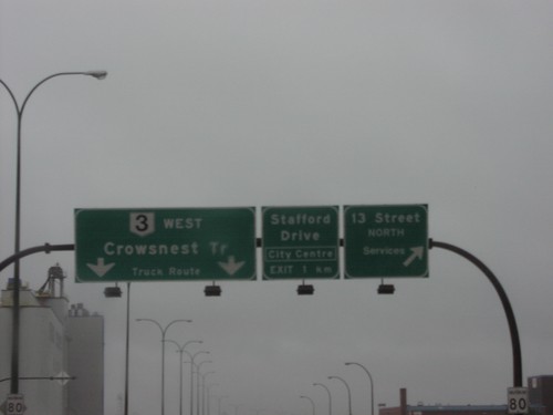
AB-3 west at 13th St. interchange. Approaching Stafford Dr/City Centre intercha
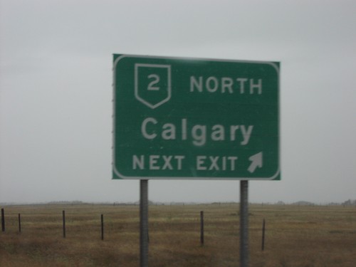
AB-3 West AB-2 North Calgary

AB-3 West AB-2 North Calgary

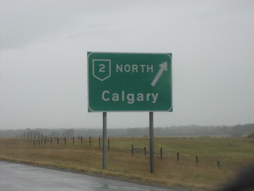
AB-2 north, Calgary on AB-3 west

AB-3 West AB-2 North Calgary

AB-3 West AB-2 North Calgary

AB-2 North Calgary, next exit on AB-3 west

AB-3 West at AB-2 North

AB-3 West at AB-2 North

AB-3 west/AB-2 north shields approaching AB-3/AB-2 North split

AB-3 West at AB-25

AB-3 West at AB-25

AB-3 east at AB-25 interchange to Picture Butte and West Lethbridge

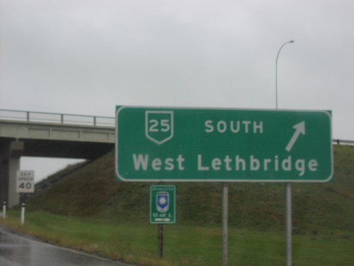
AB-3 West at AB-25 South

AB-3 West at AB-25 South

AB-3 at AB-25 south interchange to West Lethbridge

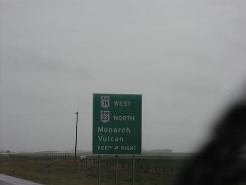
AB-3 West at AB-3A/AB-23

AB-3 West at AB-3A/AB-23

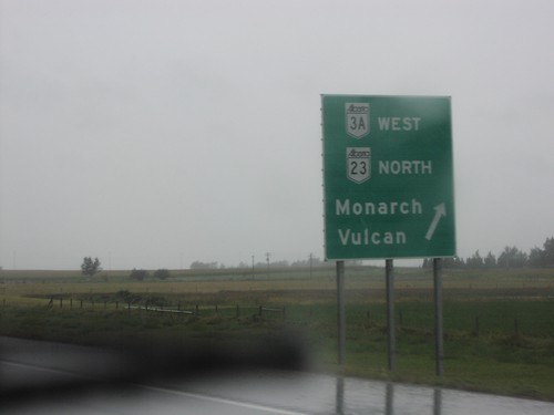
AB-3 approaching AB-23/AB-3A Junction to Monarch and Vulcan

AB-3 West at AB-3A/AB-23

AB-3 West at AB-3A/AB-23

AB-3 west at AB-23/AB-3A split to Monarch and Vulcan

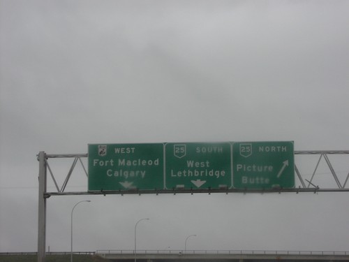
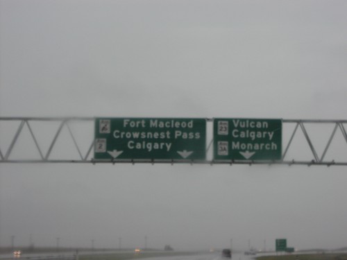
AB-3 West at AB-3A/AB-23

AB-3 West at AB-3A/AB-23

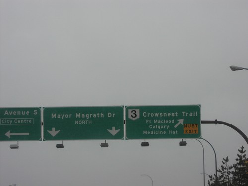
Overheads to Calgary and Fort Macleod on AB-3 west at AB-23/AB-3A junction

AB-3 West In Pincher Creek

AB-3 West In Pincher Creek

AB-3/Crowsnest Hwy shield west of AB-6 junction

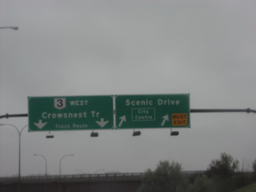
AB-3 West Scenic Drive

AB-3 West Scenic Drive

AB-3 west approaching Scenic Drive interchange

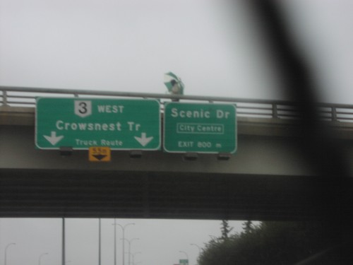
AB-3 West Scenic Drive Exit

AB-3 West Scenic Drive Exit

AB-3 west at Scenic Drive interchange

AB-3/AB-2 Fort Macleod

AB-3/AB-2 Fort Macleod

Signs leading to AB-3/AB-2 on Fort Macleod surface streets

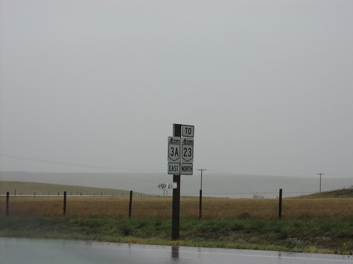
AB-3A East To AB-23 North

AB-3A East To AB-23 North

AB-3A East to AB-23 at AB-3 junction

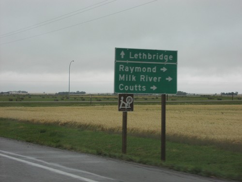
AB-5 North at AB-52 Jct.

AB-5 North at AB-52 Jct.

AB-5 north at AB-52 to Raymond, Milk River, and Coutts

AB-6 South AB-507Jct

AB-6 South AB-507Jct

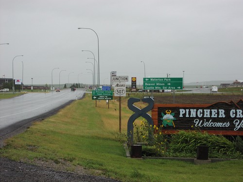
AB-6 South entering Pincher Creek, and ABS-507 junction to Waterton Park

AB-62 North - Magrath

AB-62 North - Magrath

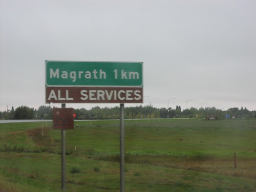
Magrath 1Km - All Traveller Services on AB-62 north

AB-62 North ABS-501 Jct.

AB-62 North ABS-501 Jct.

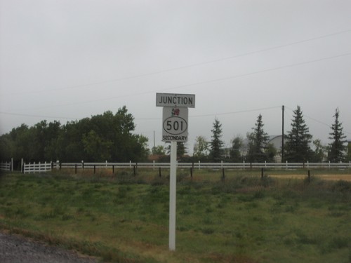
Junction ABS-501 on AB-62 north

AB-62 North at ABS-501

AB-62 North at ABS-501

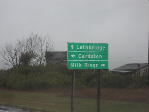
AB-62 at ABS-501 to Milk River, and Cardston

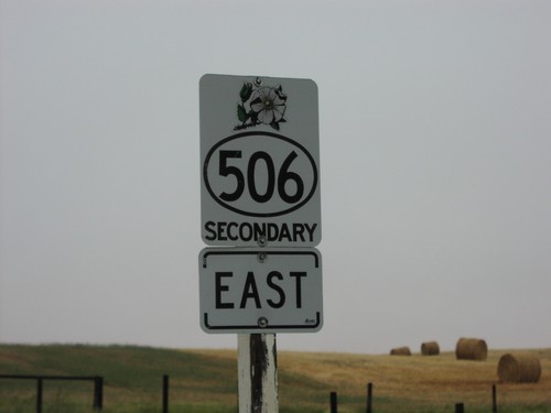
ABS-506 East

ABS-506 East

ABS-506 east

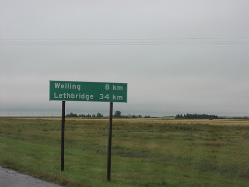
Distance Marker on AB-5 North

Distance Marker on AB-5 North

Distance to Welling and Lethbridge on AB-5 north

End AB-5 at AB-3 Jct.

End AB-5 at AB-3 Jct.

End AB-5 at AB-3 (Crowsnest Trail)

End AB-6 North At AB-3

End AB-6 North At AB-3

AB-6 north at AB-3 to Crowsnest Pass and Fort Macleod

End AB-6 North at AB-3 Jct.

End AB-6 North at AB-3 Jct.

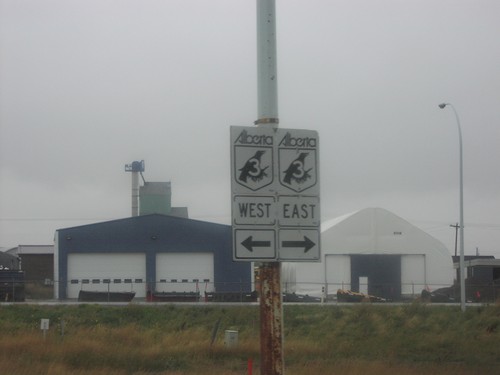
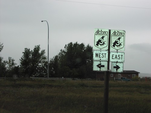
AB-3 East/West at End AB-6

End AB-62 at AB-5

End AB-62 at AB-5

End AB-62 at AB-5 junction

End ABS-506 at AB-62

End ABS-506 at AB-62

End ABS-506 at AB-62

End ABS-786 at AB-3 Jct.

End ABS-786 at AB-3 Jct.

End of ABS-786 at AB-3

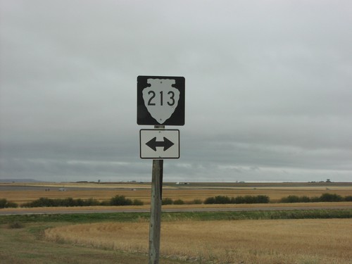
End MTS-215 at MTS-213

End MTS-215 at MTS-213

End of MTS-215 at MTS-213 in Glacier County.

Fort Macleod Route Diagram on AB-3 West

Fort Macleod Route Diagram on AB-3 West

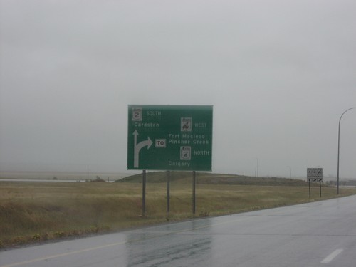
Diagram on AB-3 west approaching AB-2 south to Cardston, and AB-3/AB-2 north to
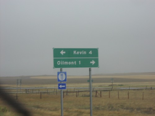
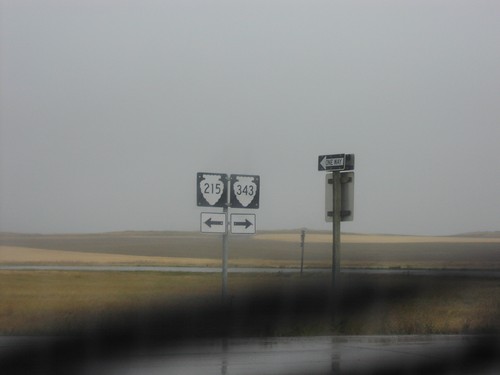
I-15 Exit 379 - MTS-215 and MTS-343

I-15 Exit 379 - MTS-215 and MTS-343

I-15 (Exit 379) offramp at MTS-215 and MTS-343.

I-15 Exit 379 - MTS-215 and MTS-343

I-15 Exit 379 - MTS-215 and MTS-343

I-15 Exit 379 offramp. Turn right for MTS-215 to Kevin; turn right for MTS-343 to Oilmont.
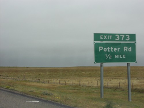
I-15 North Exit 373

I-15 North Exit 373

I-15 north at Exit 373, Potter Road

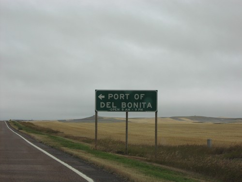
MTS-213/MTS-214 North at MTS-214 to Port Of Del Bonita

MTS-213/MTS-214 North at MTS-214 to Port Of Del Bonita

MTS-213/MTS-214 junction to Port of Del Bonita
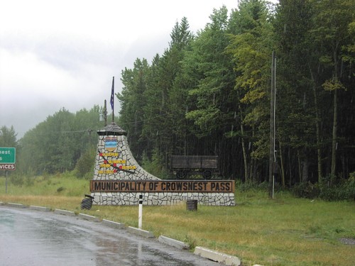
Municipality Of Crowsnest Pass - AB-3 East

Municipality Of Crowsnest Pass - AB-3 East

Muncipality of Crowsnest Pass on AB-3 east

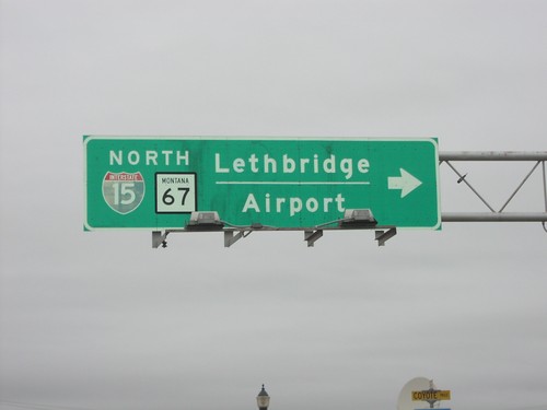
US-2 West at BL-15/MT-67

US-2 West at BL-15/MT-67

US-2 west at BL-15/MT-67 north to Lethbridge and the Shelby Airport. The I-15 shield is incorrectly displayed on this overhead as I-15.
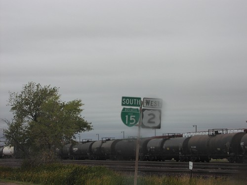
US-2 West/BL-15 South - Shelby

US-2 West/BL-15 South - Shelby

BL-15/US-2 west shields in Shelby. Tank cars on the the Burlington Northern/Santa Fe Line are to the right.
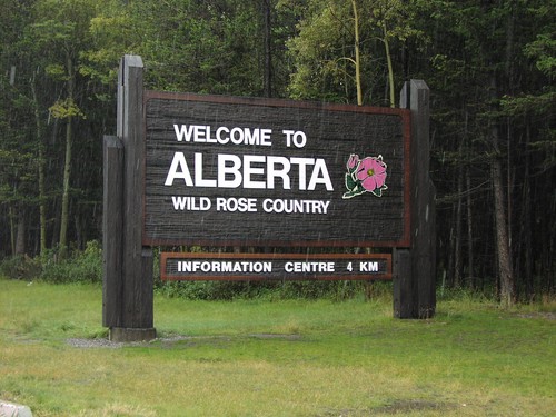
Welcome To Alberta on AB-3 East

Welcome To Alberta on AB-3 East

Welcome To Alberta - Wild Rose Country on AB-3 east

Welcome To British Columbia - BC-3 West

Welcome To British Columbia - BC-3 West

Welcome To British Columbia on BC-3 west

End MT-141 North at MT-200

End MT-141 North at MT-200

End MT-141 North at MT-200 in Powell County.

End MT-141 North at MT-200

End MT-141 North at MT-200

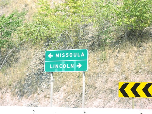
End of MT-141 north at MT-200. Use MT-200 west to Missoula; east to Lincoln.
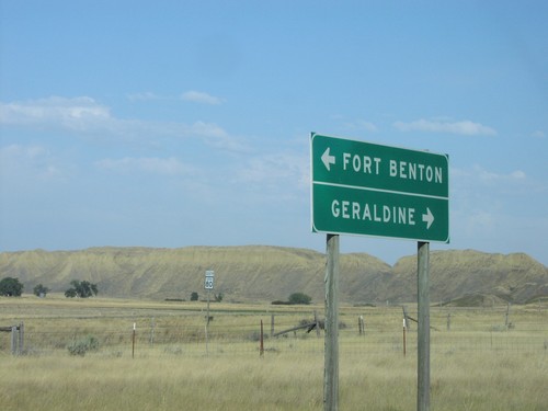
End MTS-228 at MT-80

End MTS-228 at MT-80

End MTS-228 at MT-80 to Fort Benton and Geraldine

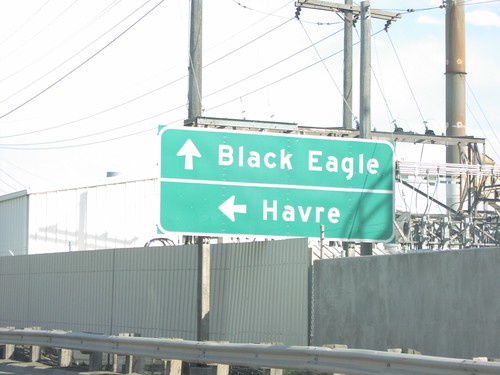
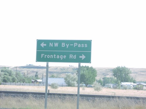
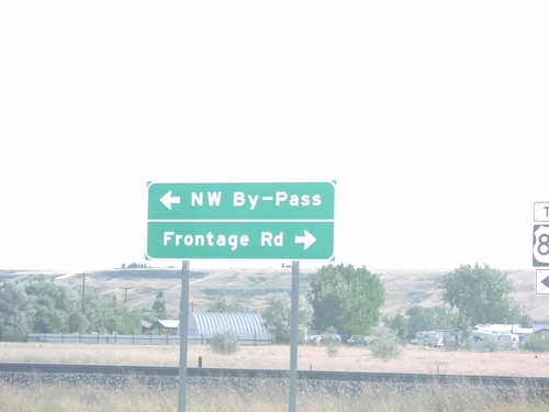
Great Falls NW Bypass

Great Falls NW Bypass

NW Bypass at the Missouri River, to Black Eagle and Havre.

I-15 at US-87 Northwest Bypass

I-15 at US-87 Northwest Bypass

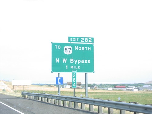
I-15 off-ramp (Exit 282) at US-87 Northwest Bypass of Great Falls.

I-15 at US-87 Northwest Bypass

I-15 at US-87 Northwest Bypass

I-15 off-ramp (Exit 282) at US-87 Northwest Bypass of Great Falls.

I-15 South - Exit 282

I-15 South - Exit 282

I-15 south at Exit 282 - To US-87 North/NW Bypass. For US-87 southbound traffic, it is easier to go through Great Falls.
I-15 South - Great Falls Exits

I-15 South - Great Falls Exits

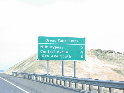
I-15 South - Great Falls exits, approaching Great Falls. Next three Great Falls exits are: NW Bypass, Central Ave. W, and 10th Ave. South.
I-90 East - Exit 105

I-90 East - Exit 105

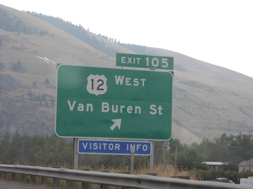
I-90 east at Exit 105 - US-12 West/Van Buren St. Mount Sentinel is in the background with the “M” for the University of Montana.
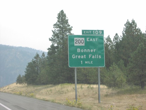
I-90 East - Exit 109

I-90 East - Exit 109

I-90 east approaching Exit 109 - MT-200 East/Bonner/Great Falls.

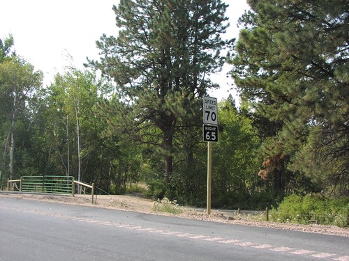
MT-141 South - Speed Limit

MT-141 South - Speed Limit

Speed limit sign on MT-141 south. Speed Limit 70 MPH Day/65 MPH Night.

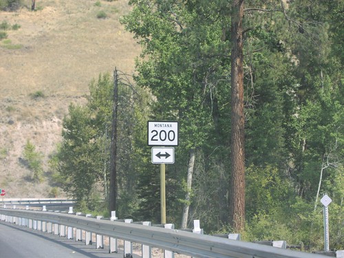
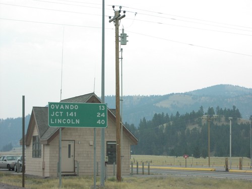
MT-200 East - Distance Marker

MT-200 East - Distance Marker

Distance marker on MT-200 east. Distance to Ovando, MT-141, and Lincoln.
MT-200 East - Distance Marker

MT-200 East - Distance Marker

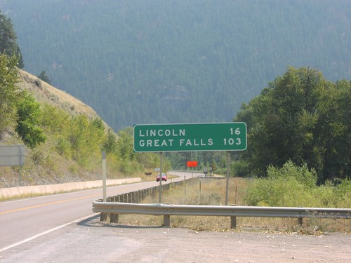
Distance marker on MT-200 east. Distance to Lincoln and Great Falls.

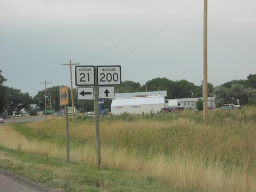
MT-200 East Approaching MT-21

MT-200 East Approaching MT-21

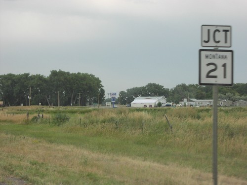
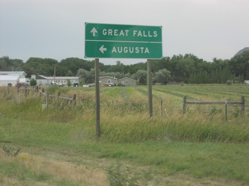
MT-21 junction on MT-200 east

MT-200 East Approaching MT-21

MT-200 East Approaching MT-21

MT-200 east approaching MT-21 north to Augusta. Continue east on MT-200 for Great Falls.
MT-200 East Approaching MT-83

MT-200 East Approaching MT-83

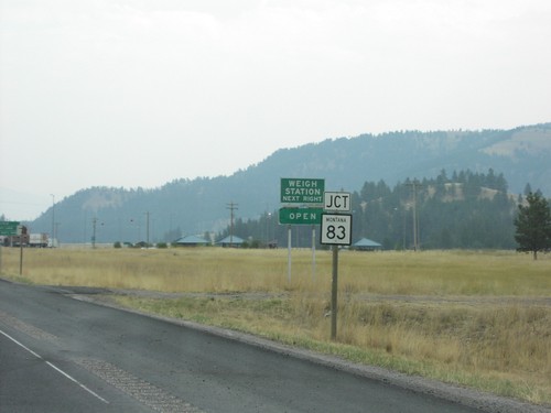
MT-200 East approaching MT-83 north in Missoula County.

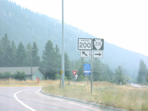
MT-200 East Approaching MTS-210

MT-200 East Approaching MTS-210

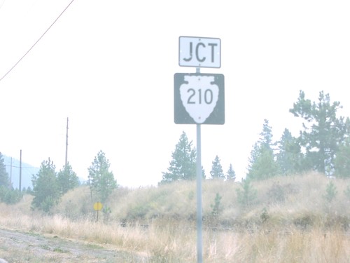
MT-200 East approaching MTS-210 in Milltown.

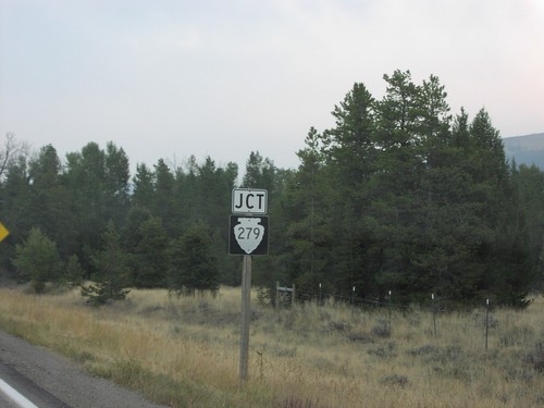
MT-200 East Approaching MTS-279

MT-200 East Approaching MTS-279

MT-200 east approaching MTS-279 in rural Lewis and Clark County.

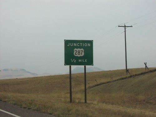
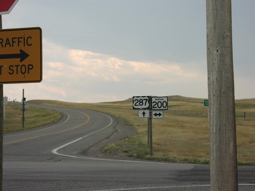
MT-200 East Approaching US-287

MT-200 East Approaching US-287

Junction US-287 on MT-200

MT-200 East at MT-21

MT-200 East at MT-21

MT-200/MT-21 junction on MT-200 east

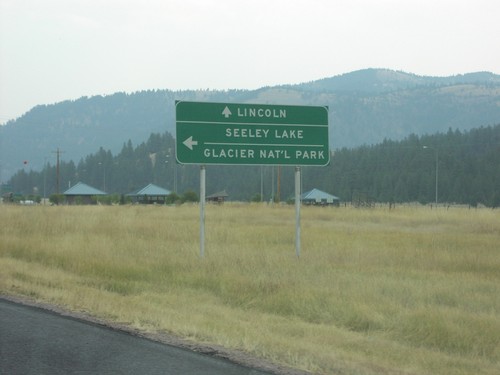
MT-200 East at MT-83

MT-200 East at MT-83

MT-200 east at MT-83 north to Seeley Lake and Glacier National Park. Continue east on MT-200 to Lincoln.
MT-200 East At MTS-210

MT-200 East At MTS-210

MT-200 East at MTS-210 in Milltown.

MT-200 East at MTS-279

MT-200 East at MTS-279

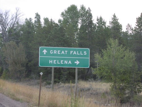
MT-200 east at MTS-279 south to Helena. Continue east on MT-200 for Great Falls.
MT-200 East at MTS-565

MT-200 East at MTS-565

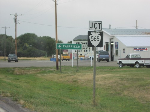
MT-200 east at MTS-565 to Fairfield

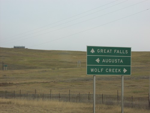
MT-200 East at US-287

MT-200 East at US-287

MT-200 east at US-287 to Augusta and Wolf Creek. Continue east on MT-200 for Great Falls.
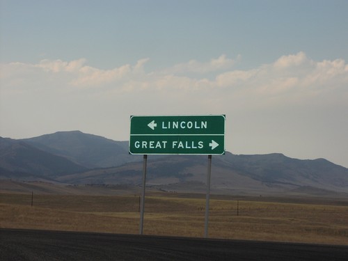
MT-200 East at US-89

MT-200 East at US-89

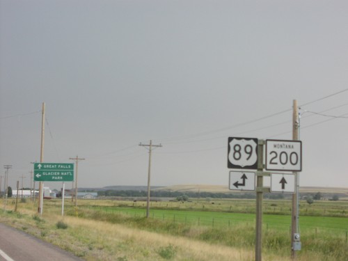
MT-200 east at US-89. US-89 south joins MT-200 east through Great Falls.

MT-80 North at MTS-380

MT-80 North at MTS-380

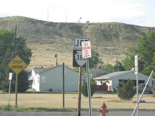
MT-80 north at MTS-380

MT-80 South

MT-80 South

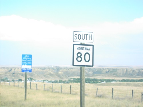
MT-80 south shield

MT-80 South at MTS-380

MT-80 South at MTS-380

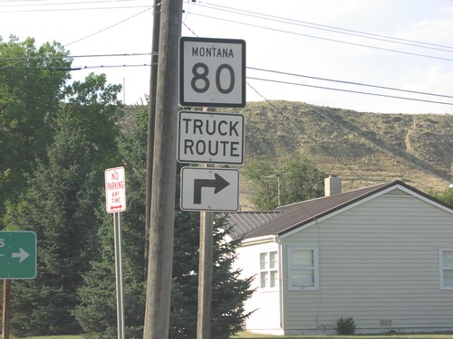
MT-80 Truck Route at MTS-380 junction

MT-80 South at MTS-387

MT-80 South at MTS-387

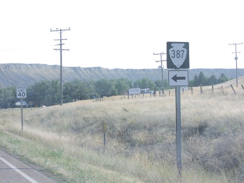
MT-80 south at MTS-387

MTS-228 South

MTS-228 South

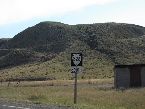
MTS-228 south shield

MTS-228 South - Distance Marker

MTS-228 South - Distance Marker

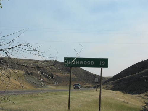
Distance marker to Highwood on MTS-228 south

MTS-387 North Approaching US-87

MTS-387 North Approaching US-87

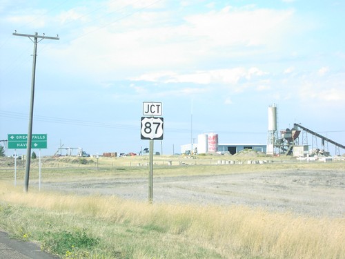
Jct US-87 on MTS-387 north

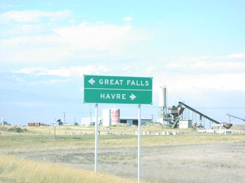
MTS-387 North at US-87

MTS-387 North at US-87

End MTS-387 north at US-87 to Great Falls and Havre.

MTS-434 North at MT-200

MTS-434 North at MT-200

End of MTS-434 at MT-200 junction to Great Falls and Lincoln. The front range of the Rocky Mountains are in the background.
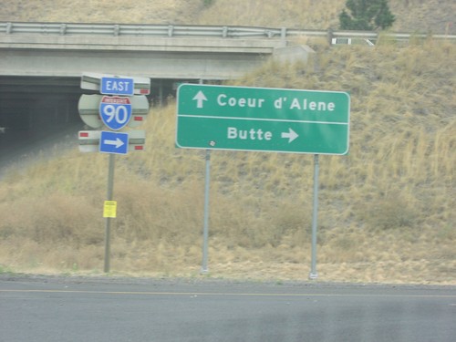
Orange St. at I-90 (Exit 104)

Orange St. at I-90 (Exit 104)

Orange St. at I-90 in Missoula. Turn right for I-90 East to Butte; proceed under freeway for I-90 west to Coeur d’Alene (Idaho).
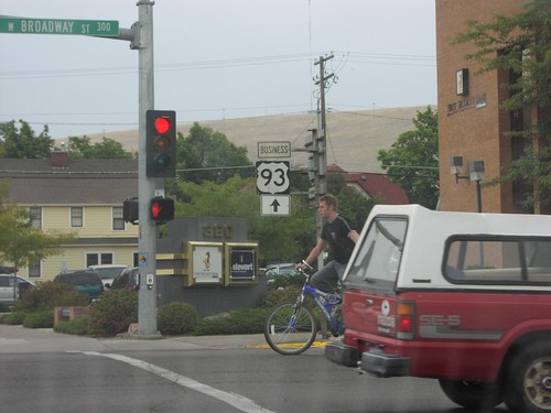
Orange St. North (Bus. US-93) at Broadway (BL-90)

Orange St. North (Bus. US-93) at Broadway (BL-90)

Orange St. North (Bus. US-93) at Broadway (BL-90) in downtown Missoula.
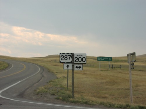
US-287 North

US-287 North

US-287 north, just north of MT-200

US-287 South at MT-200

US-287 South at MT-200

MT-200 junction on US-287 south

US-287 South at MT-200

US-287 South at MT-200

US-287 south at MT-200. Distance marker in the background on US-287 to Wolf Creek and Helena.
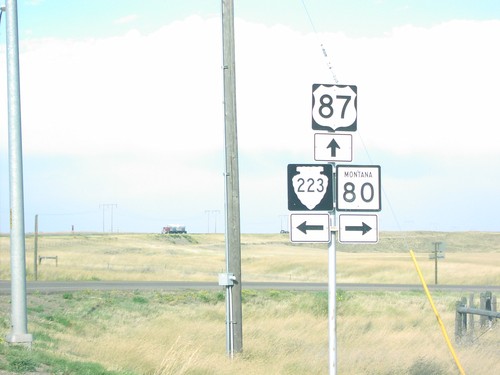
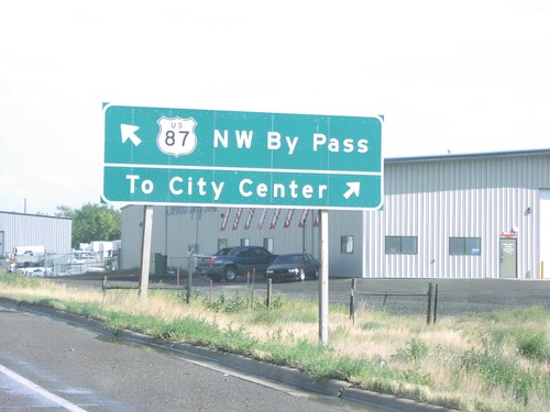
US-87 (NW-Bypass) at Vaughn Road

US-87 (NW-Bypass) at Vaughn Road

US-87 Bypass at Vaughn Road

US-87 North Approaching MT-80/MTS-223

US-87 North Approaching MT-80/MTS-223

US-87 north at MT-80/MTS-223 junction.

US-87 North at MT-80 and MTS-223

US-87 North at MT-80 and MTS-223

US-87 north at MT-80 East and MTS-223 West, on hill above Fort Benton.
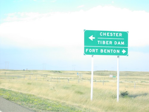
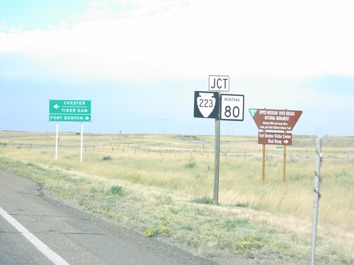
US-87 North at MT-80/MTS-223

US-87 North at MT-80/MTS-223

US-87 north at MT-80 to Fort Benton and MTS-223 to Chester and Tiber Dam.
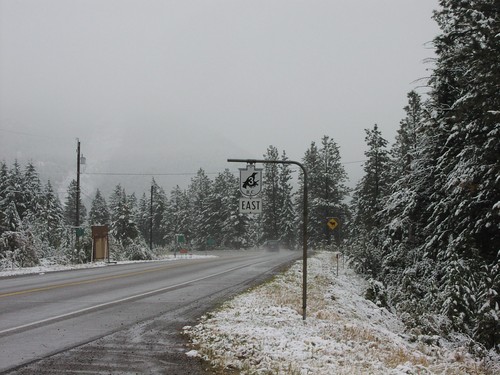
US-89 South/MT-200 East Approaching I-15

US-89 South/MT-200 East Approaching I-15

US-89 South/MT-200 East approaching I-15 junction.
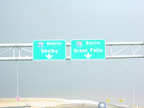
US-89 South/MT-200 East At I-15

US-89 South/MT-200 East At I-15

US-89 South/MT-200 East. Both US-89 and MT-200 joins I-15 south into Great Falls.

End MTS-206 South at MT-35

End MTS-206 South at MT-35

MT-35 at terminous of MTS-206 south.

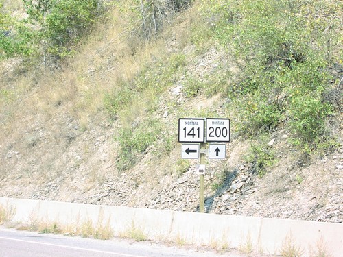
MT-200 West at MT-141 South

MT-200 West at MT-141 South

MT-200 west at MT-141 junction.

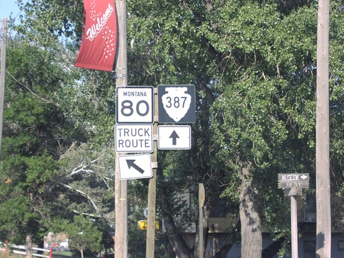
MT-80 North at MTS-387

MT-80 North at MTS-387

MT-80 north (Truck Route) at MTS-387.