Signs From October 2006
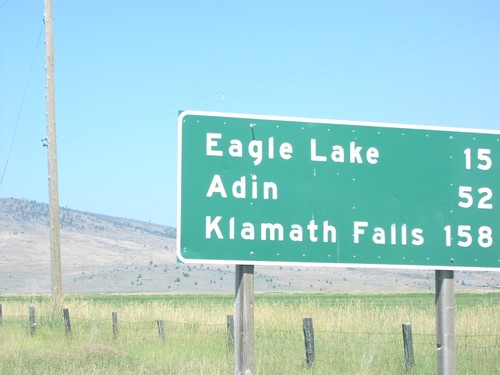
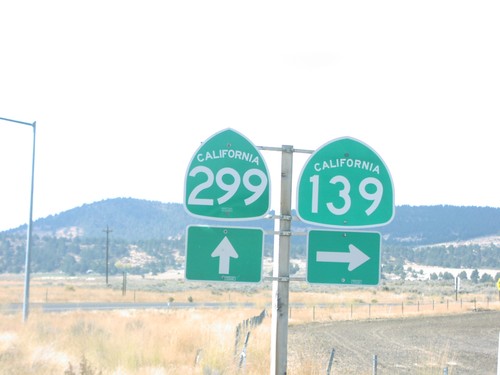
CA-139 north - Distance Marker
Distance marker on CA-139 north to Eagle Lake, Adin, and Klamath Falls.
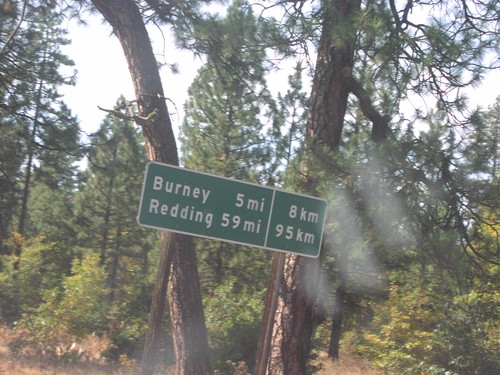
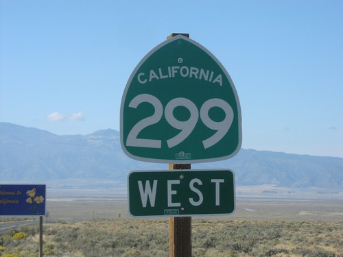
CA-299 West - Distance Marker
Distance marker in imperial and metric units on CA-299 west to Burney and Redding.
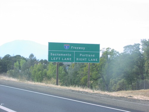
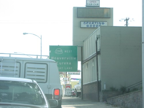
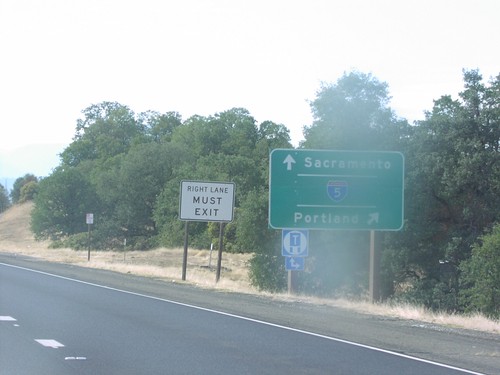
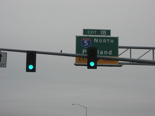
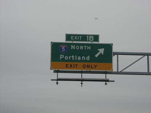
CA-299 West Approaching I-5
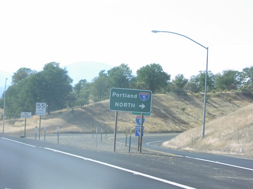
CA-299 west approaching I-5. For I-5 north to Portland, use right lane. For I-5 south to Sacramento, use left lane.
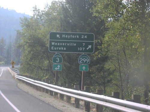
CA-299 West at CA-3
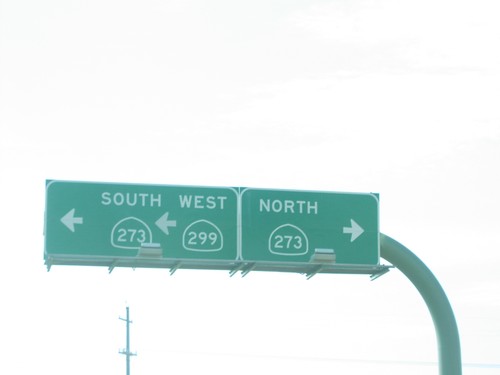
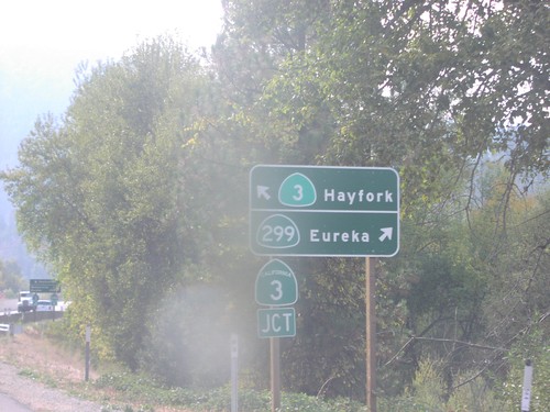
CA-299 west approaching CA-3 south to Hayfork. CA-3 north joins CA-299 west to Weaverville.
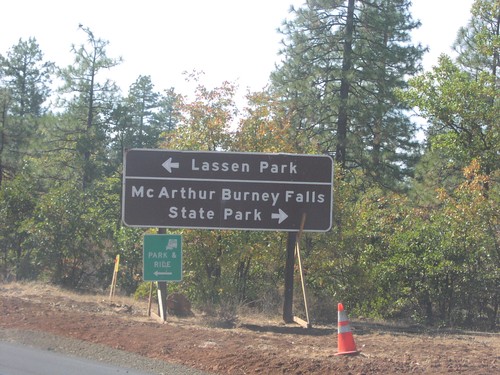
CA-299 West at CA-89
CA-299 west approaching CA-89 north to McArthur-Burney Falls State Park, and south to Lassen Park.
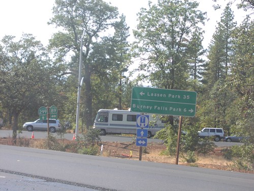
CA-299 West at CA-89
CA-299 west at CA-89 north to Burney Falls State Park, and south to Lassen Park.
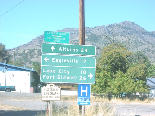
CA-299 West at Suprise Valley Road
CA-299 west at Surprise Valley Road north to Fort Bidwell, south to Eagleville.
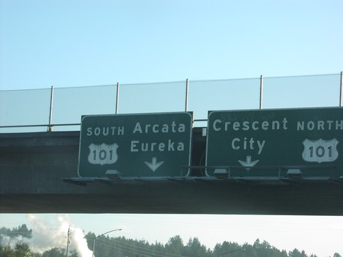
End CA-299 West at US-101
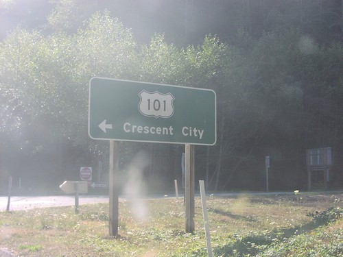
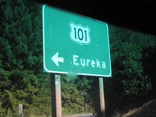
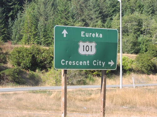
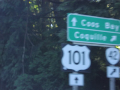
End CA-299 west at US-101 south to Arcata and Eureka; north to Crescent City.
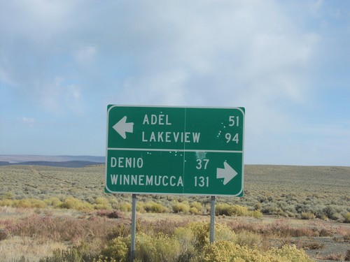
End NV-8A at NV-140
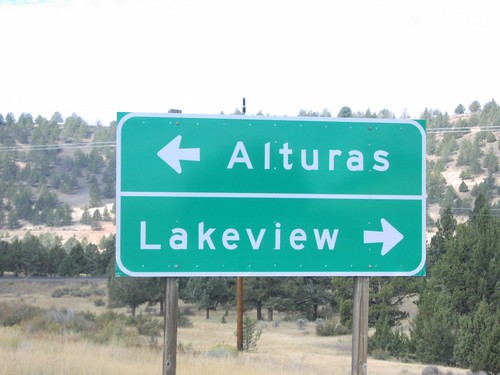
End NV-8A at NV-140. NV-140 west to Adel and Lakeview; east to Denio and Winnemucca.
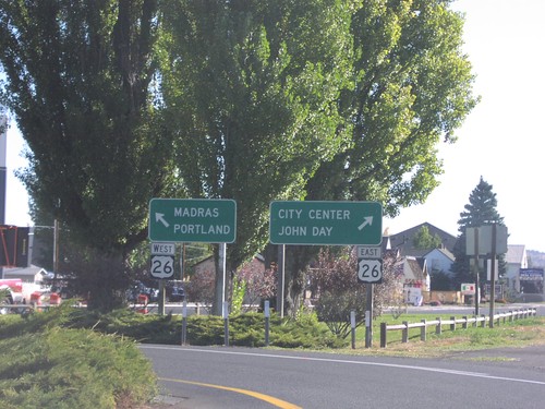
End OR-126 East at US-26
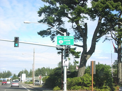
End OR-126 at US-26 west to Madras and Portland; east to John Day and City Center.
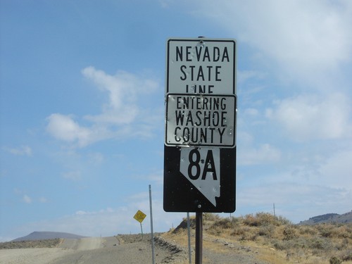
NV-8A East - Nevada State Line
Welcome To Nevada - Washoe County Line and beginning of NV-8A, at California border.
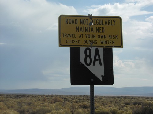
NV-8A East - Travel At Your Own Risk
NV-8A east, just east of NV-34. Sign warns to travel at own risk.
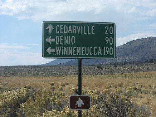
NV-8A/NV-34 Jct.
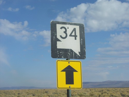
NV-34 south at NV-8A. NV-8A/NV-34 west to Cedarville, NV-8A east to Denio and Winnemucca.
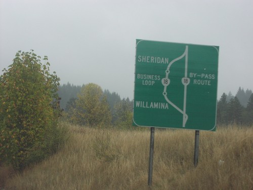
OR-18 Bus. Loop Route Diagram
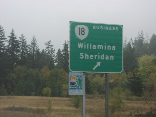
Diagram of Bus. OR-18 through Willamina and Sheridan on OR-18/OR-22 east.
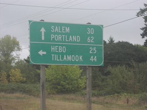
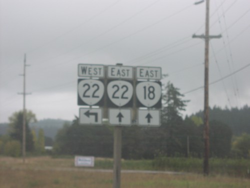
OR-18 East at OR-22
OR-18 east at OR-22 west to Hebo and Tillamook. OR-18/OR-22 east continue on to Portland and Salem.
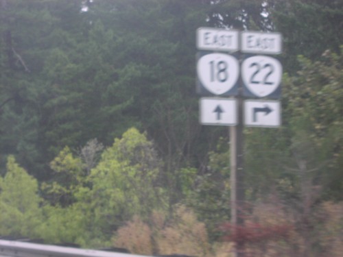
OR-18 East at OR-22 East
OR-18/OR-22 east split. OR-18 proceeds east to Portland; OR-22 east to Salem.
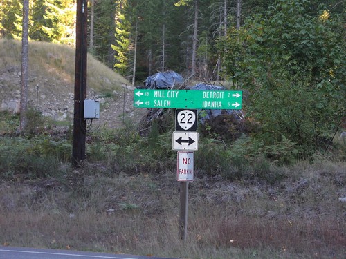
OR-22 - Detroit Lake StatePark
OR-22 west to Salem and Mill City; east to Detroit and Idanha at Detroit Lake State Park.
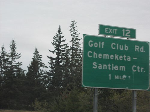
OR-22 East - Exit 12
OR-22 east approaching Exit 12, Golf Club Road/Chemeketa-Santiam Center, 1 mile.
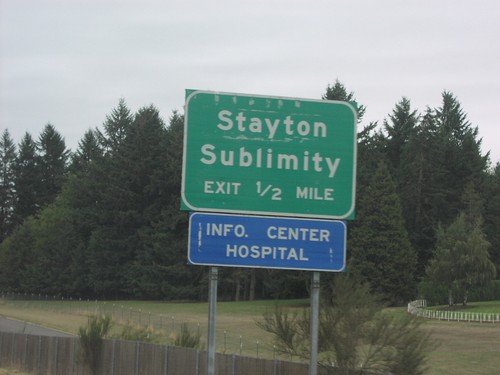
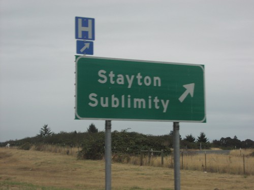
OR-22 East - Stayton/Sublimity Exit
OR-22 east approaching Stayton/Sublimity exit. This is the eastern terminus of the freeway.
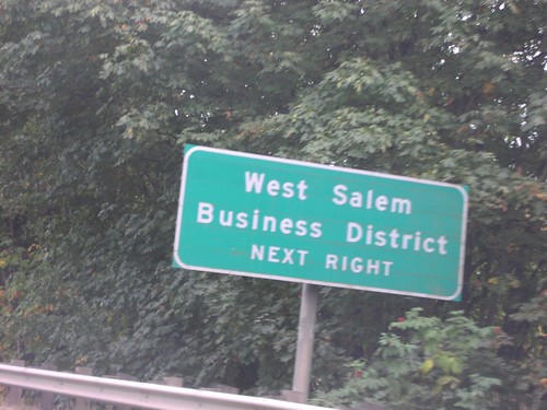
OR-22 East approaching OR-221
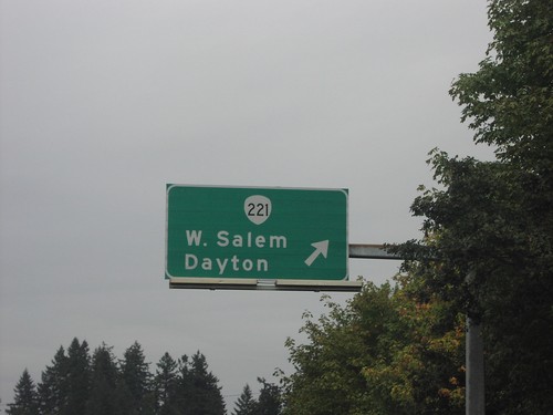
OR-22 east approaching OR-221. Use OR-221 for West Salem and Business District.
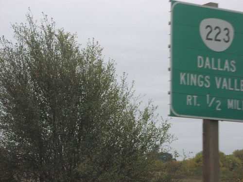
OR-22 East Approaching OR-223
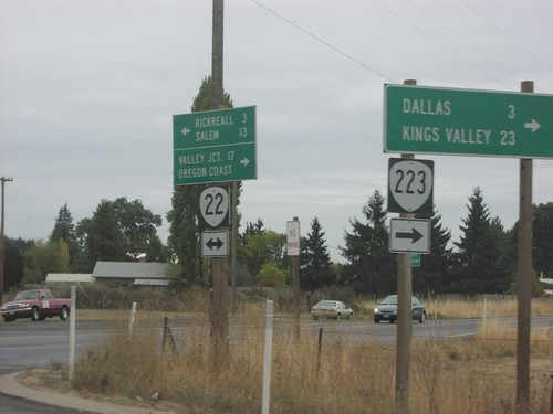
OR-22 east approaching OR-223 south to Dallas and Kings Valley, 1/2 mile.
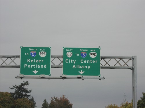
OR-22 East at Bus. OR-99E
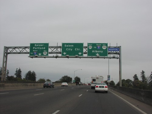
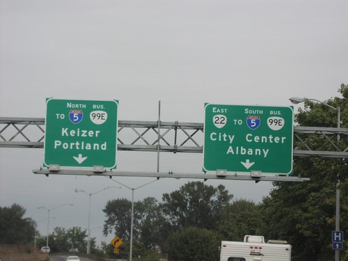
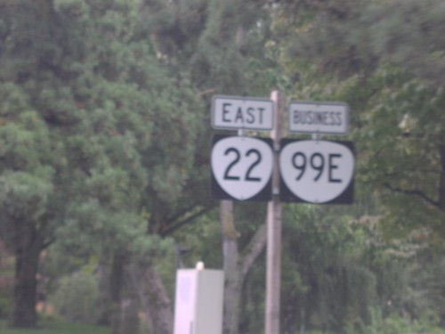
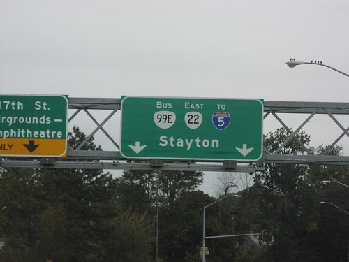
OR-22 east approaching Bus. OR-99E north to I-5/Keizer/Portland, and south to City Center and Albany. OR-99E follows OR-22 south through Salem.
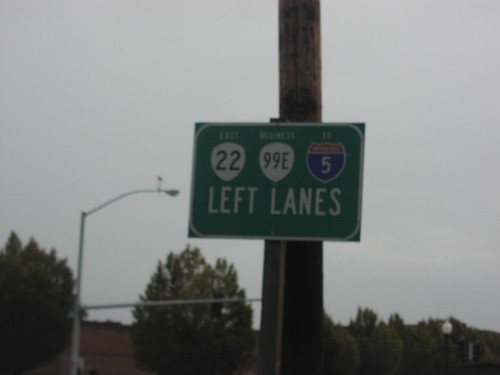
OR-22 East/Bus. OR-99 East to I-5
OR-22 East/Bus. OR-99E/To I-5 at base of Willamette River bridge in downtown Salem.
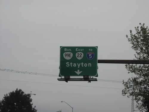
OR-22 East/Bus. OR-99E/To I-5 at Commercial St.
OR-22 west/Bus. OR-99E south to I-5 and Stayton at Commercial St.
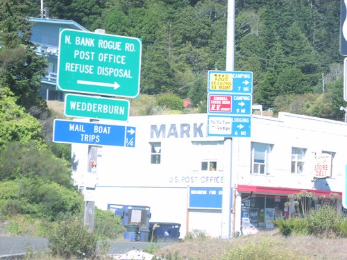
US-101 North - North Bank Rogue Road
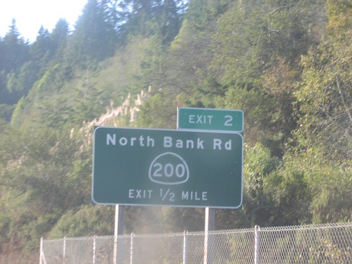
US-101 north at North Bank Road, on the northern side of the Rogue River.
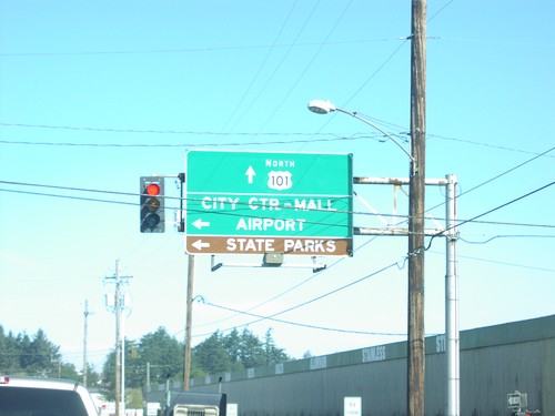
US-101 North - North Bend City Center
US-101 north overhead in North Bend, to State Parks and City Center.
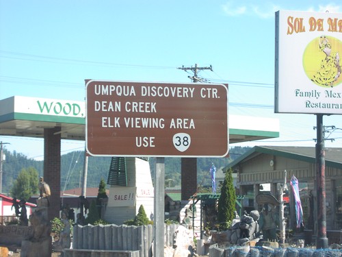
US-101 North approaching OR-38
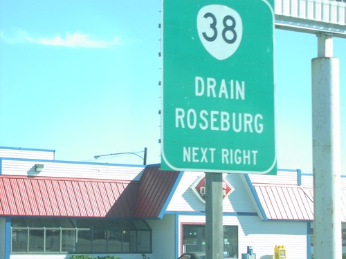
US-101 north approaching OR-38 to Umpqua Discovery Center and Dean Creek Elk Viewing Area.
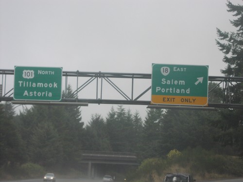
US-101 North at OR-18 East
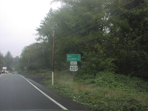
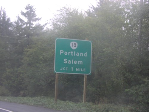
US-101 north to Tillamook and Astoria at OR-18 east to Portland and Salem.
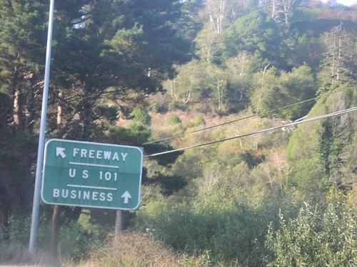
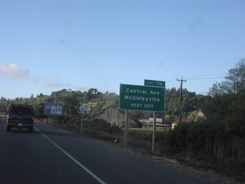
US-101 North Exit 718
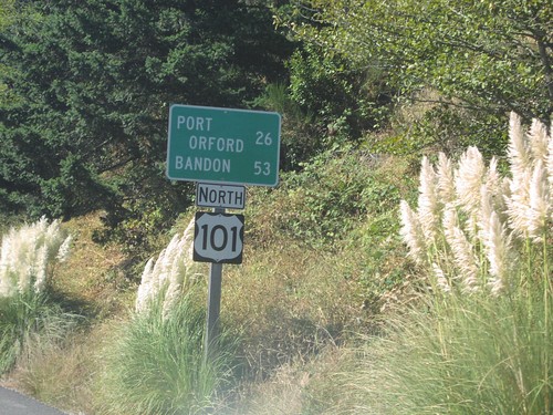
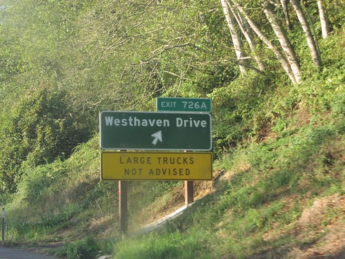
US-101 north at Exit 718, Central Ave./McKinleyville. Use this exit for US-101 Business.
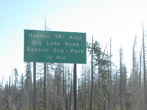
US-20 East - Hoodoo Ski Area
US-20/OR-126 east approaching Hoodoo Butte Ski Area/Big Lake Road/Benson Snow Park, 1/2 mile.
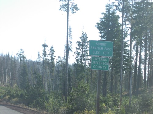
US-20 East - Santiam Pass/Jefferson County Line
US-20/OR-126 east at Santiam Pass, Jefferson-Linn County line.
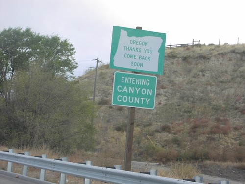
US-20/US-26 East - Oregon Thanks You
Oregon Thanks You. Come Back Soon. Entering Canyon County (Idaho) on US-20/US-26 east at the Oregon/Idaho line.
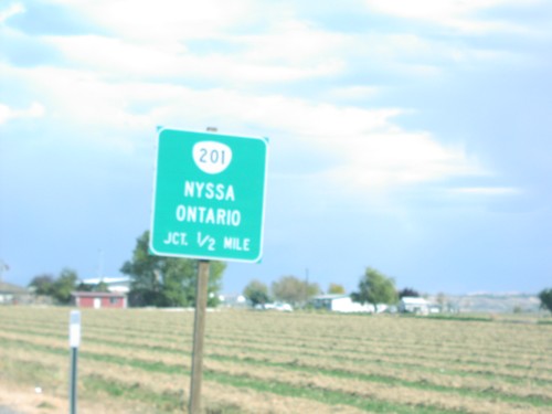
US-20/US-26 East Approaching OR-201
US-20/US-26 east approaching OR-201 to Nyssa and Ontario, 1/2 mile.
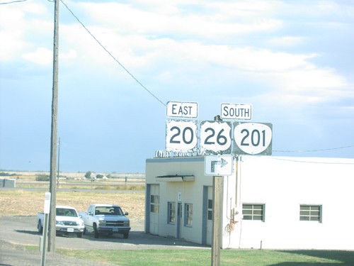
US-20/US-26 East at OR-201
US-20/US-26 east at OR-201 junction. OR-201 follows US-20/US-26 south to Nyssa.
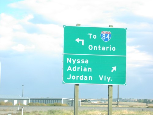
US-20/US-26 East at OR-201
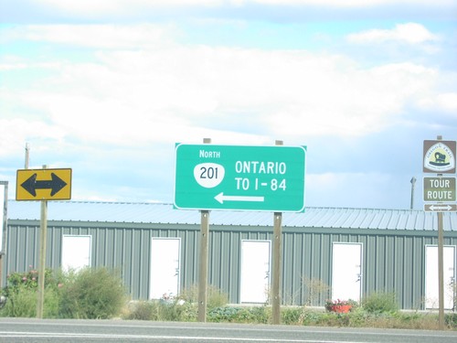
US-20/US-26 east at OR-201 north To I-84/Ontario and south to Nyssa, Adrian, and Jordan Valley.
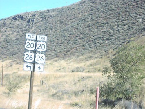
US-20/US-26 East in Vale
US-20/US-26 east at eastern end of Vale one-way couplet. Turn left here to return to Vale on US-20/US-26 west.
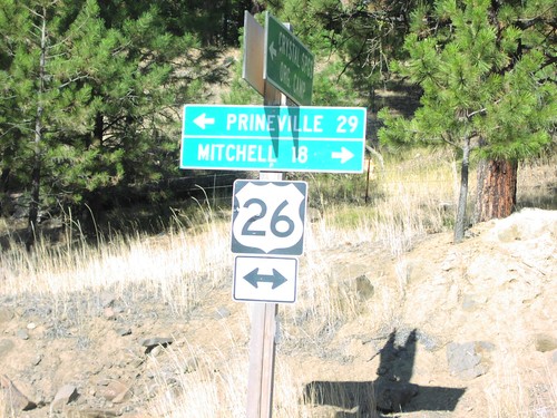
US-26 - Crystal Springs Camp Rd
US-26 west to Prineville; east to Mitchell at end of Crystal Springs Camp Road.
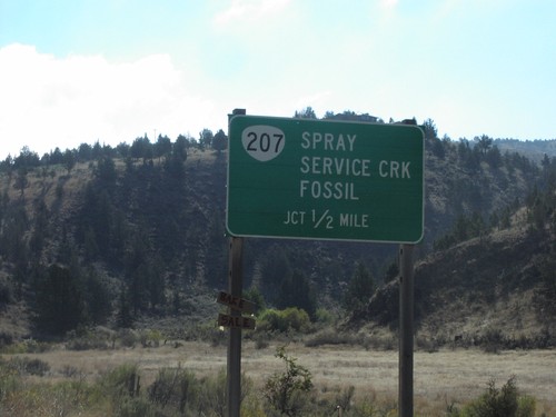
US-26 East approaching OR-207
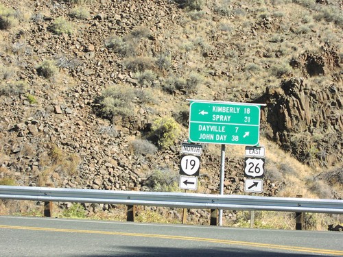
US-26 approaching OR-207 north to Spray, Service Creek, and Fossil, 1/2 mile.
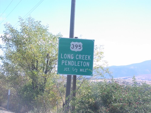
US-26 East approaching US-395 North
US-26 east approaching US-395 north to Long Creek and Pendleton, 1/2 mile.
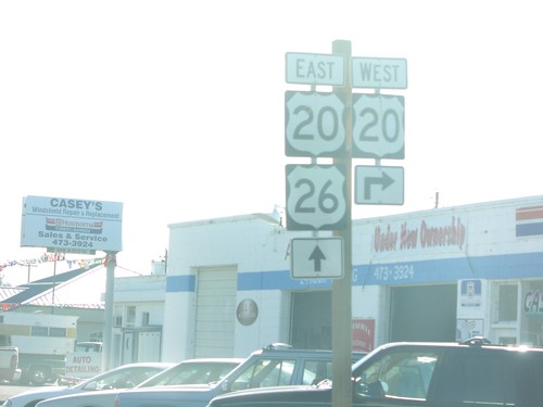
US-26 East at US-20 West
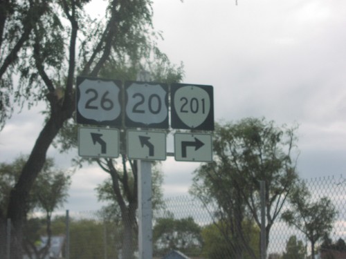
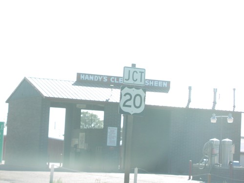
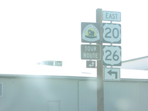
US-26 east at US-20 west. US-20 east follows US-26 east from here to Mountain Home, Idaho.
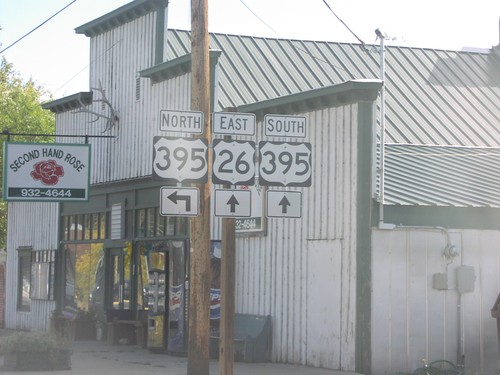
US-26 East at US-395 North
US-26 east approaching US-395 north. US-395 follows US-26 east to John Day.
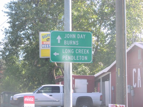
US-26 East at US-395 North
US-26 east at US-395 north to Long Creek and Pendleton, and US-26 east/US-395 south to John Day and Burns.
