Javascript Is Required To Use This Page

Signs From March 2007
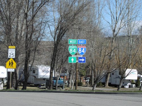
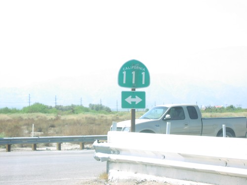
4th St. at CA-111

4th St. at CA-111

4th St. in Mecca at CA-111.

BL-84 - Glenns Ferry

BL-84 - Glenns Ferry

Bannock St. north at Oregon Trail. Continue north on Bannock St. for BL-84 west (to I-84 west). Turn right on Oregon Trail for I-84 east (via BL-84 east).
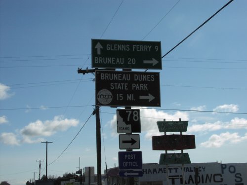
BL-84 East at ID-78

BL-84 East at ID-78

BL-84 east at ID-78 south to Bruneau, and Bruneau Dunes State Park. ID-78 follows the south side of the Snake River to Marsing.
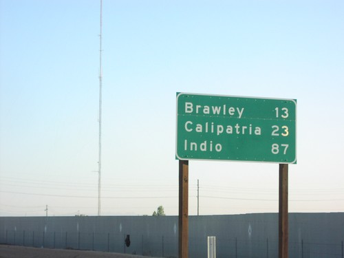
CA-111 North - Distance Marker

CA-111 North - Distance Marker

CA-111 north to Brawley, Calipatria, and Indio, just north of Evan Hewes Hwy.
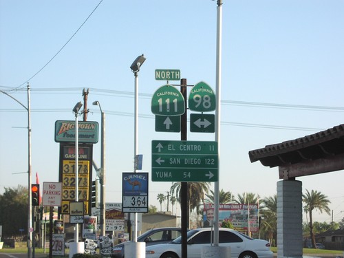
CA-111 North - Distance Marker

CA-111 North - Distance Marker

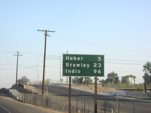
CA-111 north to Heber, Brawley, and Indio, north of CA-98.

CA-111 North Approaching CA-78

CA-111 North Approaching CA-78

CA-111 north approaching CA-78.

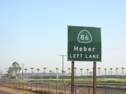
CA-111 North Approaching CA-86

CA-111 North Approaching CA-86

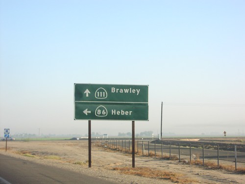
CA-111 north approaching CA-86 north to Heber.

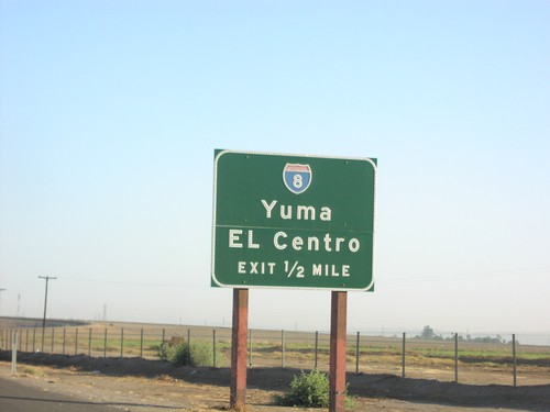
CA-111 North Approaching I-8

CA-111 North Approaching I-8

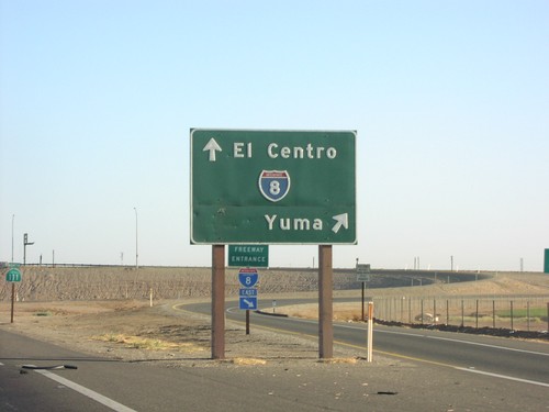
CA-111 north approaching I-8/Yuma/El Centro, 1/2 mile.

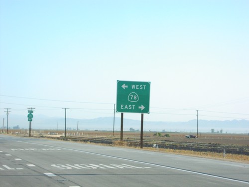
CA-111 North at CA-78

CA-111 North at CA-78

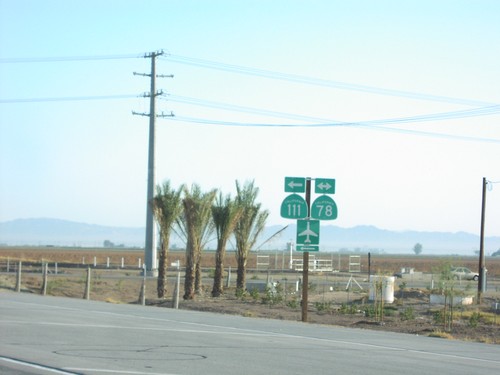
CA-111 north at CA-78.

CA-111 North at CA-78

CA-111 North at CA-78

CA-111 north at CA-78. CA-111 north follows CA-78 west through Brawley.

CA-111 North at CA-86

CA-111 North at CA-86

CA-111 north to Brawley at CA-86 north to Heber.

CA-111 North at CA-86

CA-111 North at CA-86

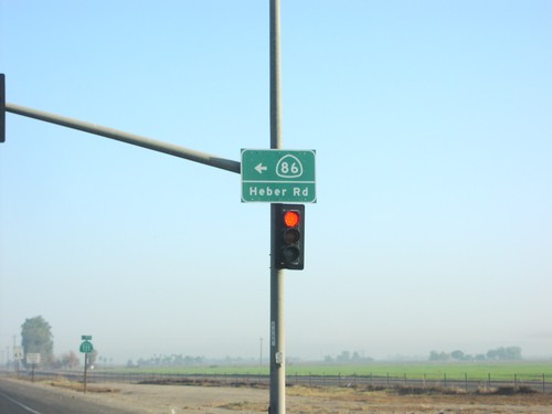
CA-111 north at CA-86 north. CA-86/Heber Road sign on signal.

CA-111 North at CA-98

CA-111 North at CA-98

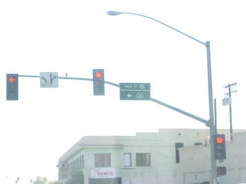
CA-111 north to El Centro, at CA-98 east Yuma, and west to San Diego. CA-98 parallels the southern border of California.
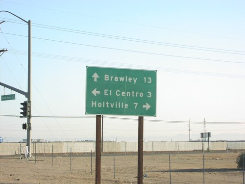
CA-111 North at Evan Hewes Highway

CA-111 North at Evan Hewes Highway

CA-111 north to Brawley, at Evan Hewes Highway, west to El Centro, and east to Holtville.
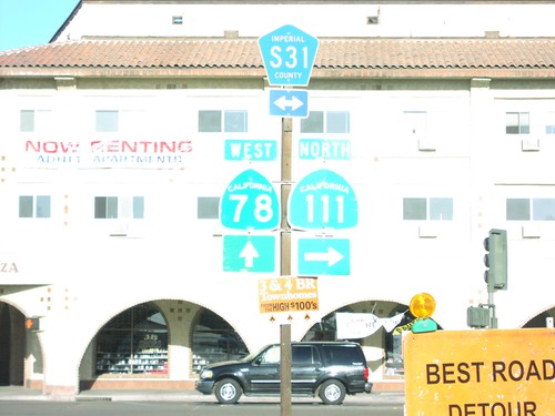
CA-111 North at I-8 East to Yuma

CA-111 North at I-8 East to Yuma

CA-111 north at I-8 east to Yuma.

CA-111 North at I-8 West to El Centro

CA-111 North at I-8 West to El Centro

CA-111 north at I-8 west to El Centro.

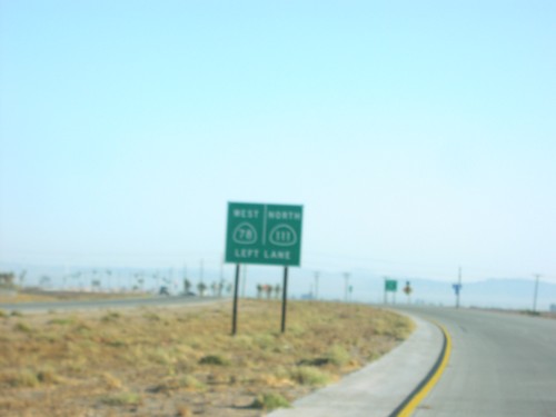
CA-111 North/CA-78 West at Split

CA-111 North/CA-78 West at Split

CA-111 North/CA-78 West at CA-111/CA-78 split. CR-S31 follows CA-111 north.
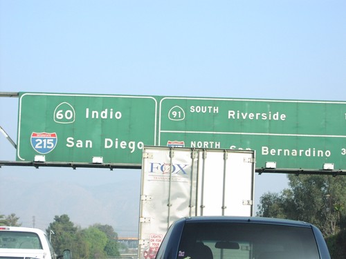
CA-111 South - Distance Marker

CA-111 South - Distance Marker

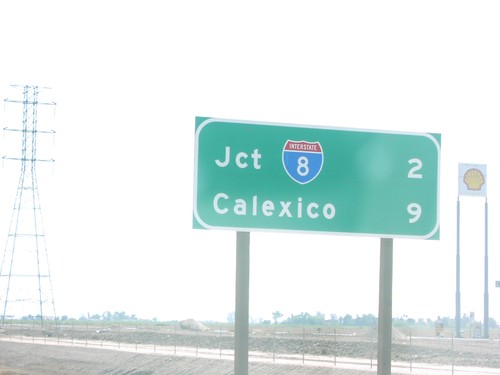
CA-111 south of Evan Hewes Hwy., to I-8 and Calexico.

CA-111 South Approaching I-8

CA-111 South Approaching I-8

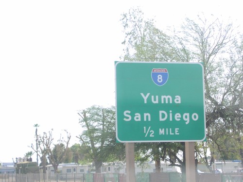
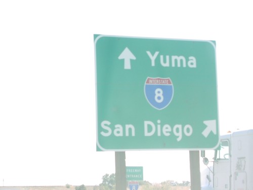
CA-111 south approaching I-8/Yuma/San Diego, 1/2 mile.

CA-111 South at CA-195

CA-111 South at CA-195

CA-111 south at CA-195.

CA-111 South at CA-78

CA-111 South at CA-78

CA-111 south at CA-78. CA-111 follows CA-78 east through Brawley.

CA-111 South at CA-98

CA-111 South at CA-98

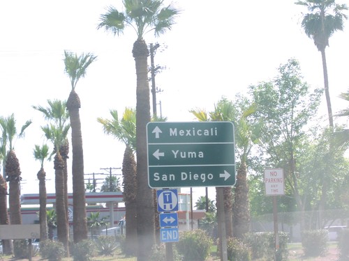
CA-111 south to Mexicali at CA-98 west to San Diego, and east to Yuma.

CA-111 South at I-8 East

CA-111 South at I-8 East

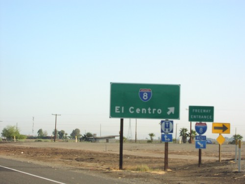
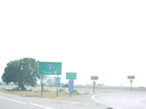
CA-111 south at I-8 east freeway entrance to Yuma (AZ).

CA-111 South at I-8 West

CA-111 South at I-8 West

CA-111 south at I-8 west to San Diego.

CA-60 East Approaching Exits 53AB

CA-60 East Approaching Exits 53AB

CA-60 east approaching Exit 53A - CA-91/Riverside, and Exit 53B - I-215 North/San Bernardino.
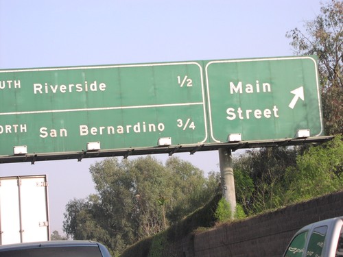
CA-60 East at Exit 52B and Exits 53AB

CA-60 East at Exit 52B and Exits 53AB

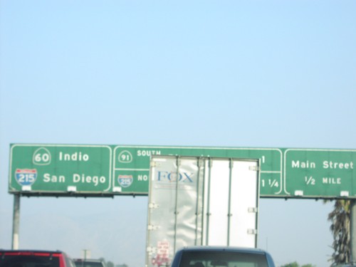
CA-60 east at Main St. Approaching CA-91/Riverside, and I-215 north to San Bernardino. CA-60 and I-215 are multiplexed east through Riverside.
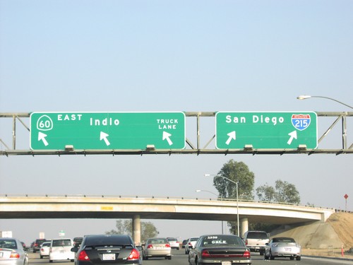
CA-60 East Exit 41

CA-60 East Exit 41

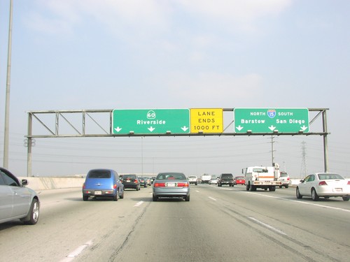
CA-60 east at Exit 41 - I-15/Barstow/San Diego

CA-60 East Exit 50

CA-60 East Exit 50

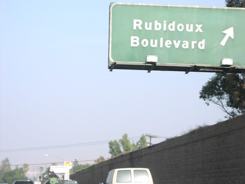
CA-60 east at Exit 50 - Rubidoux Blvd.

CA-60 East Exit 52B

CA-60 East Exit 52B

CA-60 east approaching Exit 52B - Main St. and Exits 53AB CA-91/I-215

CA-60 East Exit 53B

CA-60 East Exit 53B

CA-60 East/I-215 South at Exit 53B - I-215/CA-60 split. I-215 south to San Diego; CA-60 east to Indio.
CA-60 East Exit 59

CA-60 East Exit 59

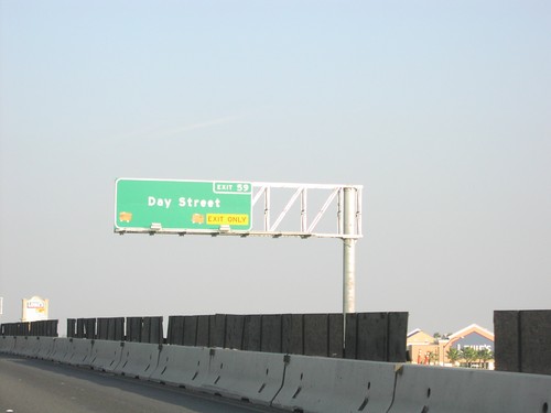
CA-60 east at Exit 59 - Day St.

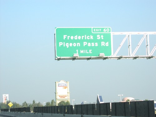
CA-60 East Exit 60

CA-60 East Exit 60

CA-60 east approaching Exit 60 - Frederick St./Pigeon Pass Road, 1 mile.

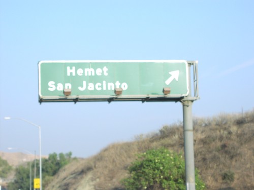
CA-60 East Exit 68

CA-60 East Exit 68

CA-60 east at Exit 68 - Hemet/San Jacinto exit (Gilman Springs Road).

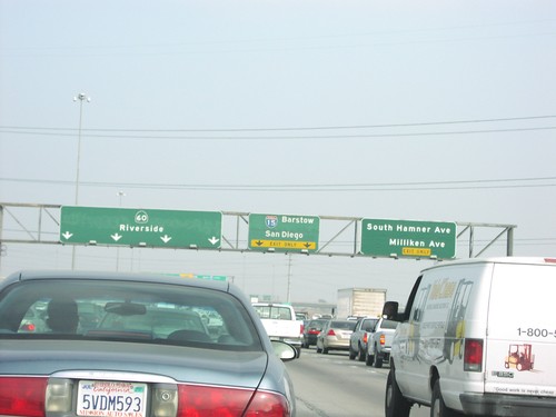
CA-60 East Exits 40 and 41

CA-60 East Exits 40 and 41

CA-60 east at Exit 40 - S. Hamner Ave./Milliken Ave. Next exit is Exit 41 - I-15/Barstow/San Diego.
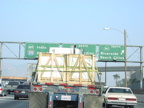
CA-60 East Exits 53AB

CA-60 East Exits 53AB

CA-60 east at Exit 53A - CA-91 South to Riverside and Beach Cities. New control city on CA-60 is Indio.
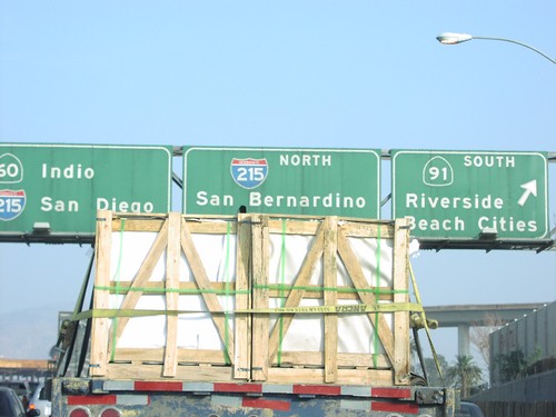
CA-60 East Exits 53AB

CA-60 East Exits 53AB

CA-60 east at Exit 53A - CA-91 South/Riverside/Beach Cities, and Exit 53B - I-215 North/San Bernardino.
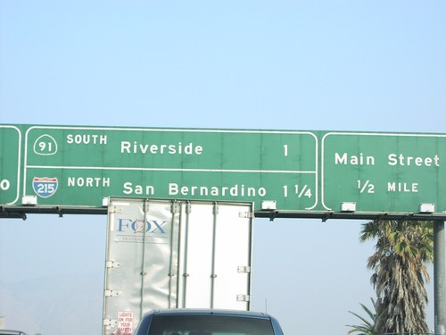
CA-60 East Exits 53AB and 52B

CA-60 East Exits 53AB and 52B

CA-60 east approaching Exit 52B - Main St., Exit 53A - CA-91 South/Riverside, and Exit 53B - I-215 North/San Bernardino.
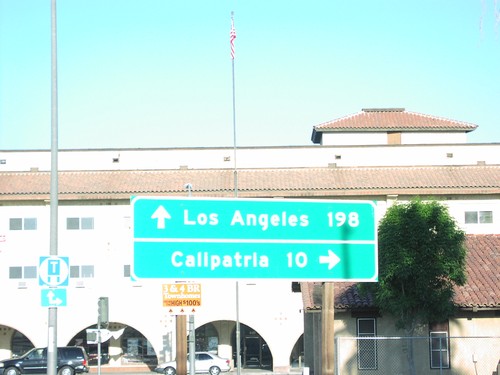
CA-78 East/CA-111 North at Split

CA-78 East/CA-111 North at Split

CA-111 North/CA-78 West at CA-111 (to Calipatria)/CA-78 (to Los Angeles) split in Brawley.
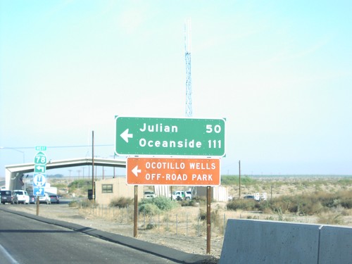
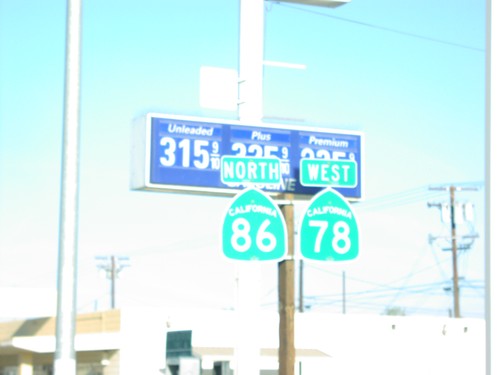
CA-78 West/CA-86 North - Brawley

CA-78 West/CA-86 North - Brawley

CA-86 North/CA-78 West in Brawley, just north of CA-86 jct.

CA-86 North/CA-78 West at CA-78 West

CA-86 North/CA-78 West at CA-78 West

CA-86 North/CA-78 West at CA-78 West to Oceanside and Julian. Border Patrol Checkpoint in background.
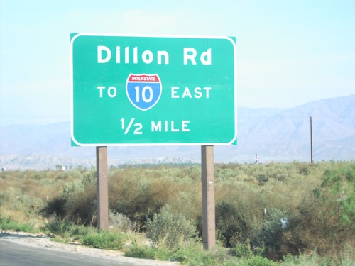
CA-86S North Approaching I-10

CA-86S North Approaching I-10

CA-86S north approaching Dillon Road/To I-10 East, 1/2 mile.

CA-86S North Approaching I-10

CA-86S North Approaching I-10

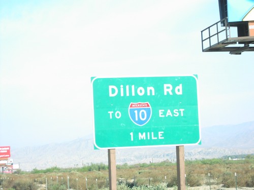
CA-86S north approaching Dillon Road/To I-10 East, 1 mile.

End CA-111 South at International Border

End CA-111 South at International Border

End CA-111 at the International Boundary. Mexicali is just past the border post.
End CA-60 East at I-10

End CA-60 East at I-10

End CA-60 at I-10 east in Beaumont.

End Hammet Business Loop

End Hammet Business Loop

End BL-84 at I-84 in Hammett.

I-10 East Exit 100

I-10 East Exit 100

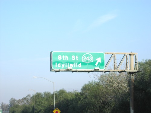
I-10 east at Exit 100 - CA-243/8th St./Idyllwild.

I-10 East Exit 100

I-10 East Exit 100

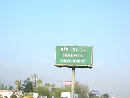
I-10 east approaching Exit 100 - CA-243/8th St./Idyllwild, next exit.

I-10 East Exit 112

I-10 East Exit 112

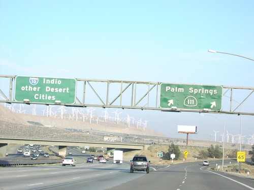
I-10 east at Exit 112 - CA-111/Palm Springs. I-10 continues east to Indio and Other Desert Cities. Note the windmills on the hillsides.
I-10 East Exit 142

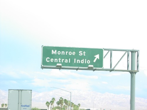
I-10 East Exit 142

I-10 east at Exit 142 - Monroe St./Central Indio.

I-10 East Exit 144

I-10 East Exit 144

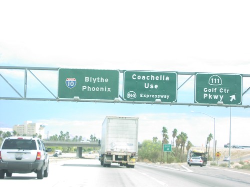
I-10 east at Exit 144 - CA-111/Golf Center Parkway. Overhead also directs Coachella traffic use CA-86S Expressway.
I-10 East Exit 145

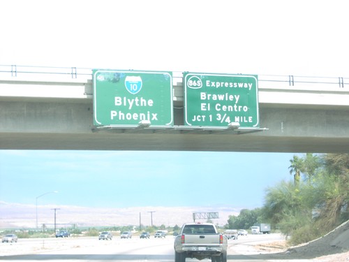
I-10 East Exit 145

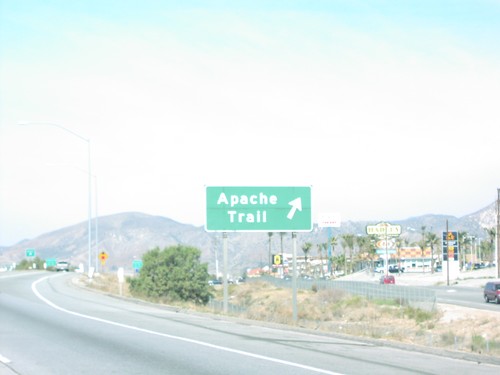
I-10 east approaching Exit 145- CA-86S Expressway/Brawley/El Centro, 1 3/4 miles.

I-10 East Exit 94

I-10 East Exit 94

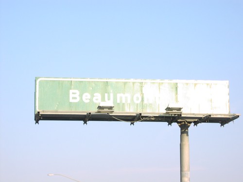
I-10 at end of CA-60, at Beaumont exit.

I-10 East Exit 94

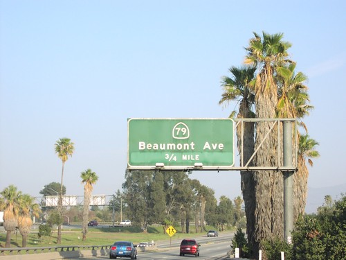
I-10 East Exit 94

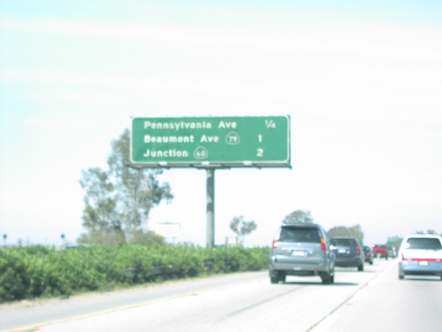
I-10 east approaching Exit 94 - CA-79/Beaumont Ave., 3/4 mile.

I-10 West - Beaumont Exits

I-10 West - Beaumont Exits

Next three Beaumont exits on I-10 west.

I-10 West - San Bernardino Exits

I-10 West - San Bernardino Exits

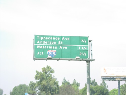
Next three exits on I-10 west in Loma Linda, and San Bernardino.

I-10 West Exit 101

I-10 West Exit 101

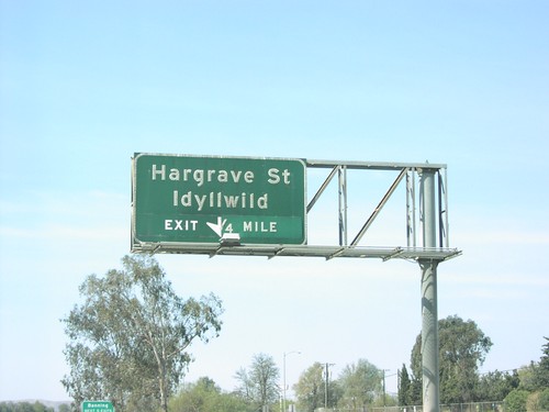
I-10 west approaching Exit 101 - Hargrave St./Idyllwild exit, 1/4 mile.

I-10 West Exit 104

I-10 West Exit 104

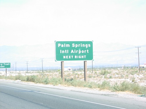
I-10 west at Exit 104 - Apache Trail exit. Apache Trail provides access to the Fantasy Springs Casino, and the concrete dinosaurs.
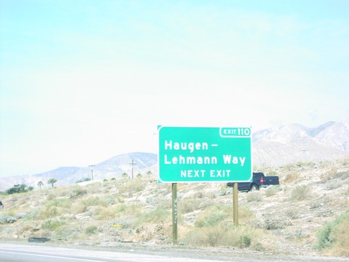
I-10 West Exit 110

I-10 West Exit 110

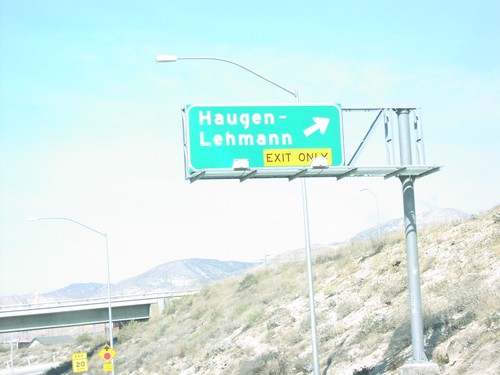
I-10 west approaching Exit 110 - Haugen-Lehmann Way, next exit.

I-10 West Exit 110

I-10 West Exit 110

I-10 west at Exit 110 - Haugen-Lehmann.

I-10 West Exit 114

I-10 West Exit 114

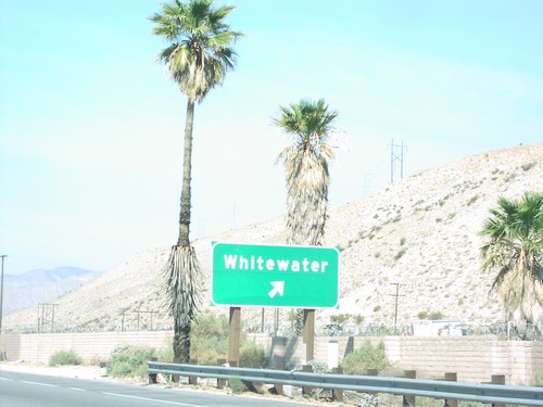
I-10 west at Exit 114 - Whitewater

I-10 West Exit 120

I-10 West Exit 120

I-10 west approaching Exit 120 - Indian Ave. exit. Use Indian Ave. for Palm Springs Intl. Airport.
I-10 West Exit 120

I-10 West Exit 120

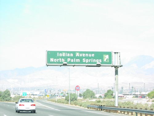
I-10 west at Exit 120 - Indian Ave./North Palm Springs exit.

I-10 West Exit 58

I-10 West Exit 58

I-10 west approaching Exit 58 - I-15/San Digeo/Barstow.

I-10 West Exit 72

I-10 West Exit 72

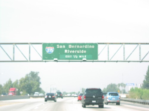
I-10 west approaching Exit 72 - I-215/Riverside/San Bernardino, 1/2 mile.

I-10 West Exit 72

I-10 West Exit 72

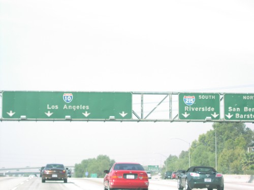
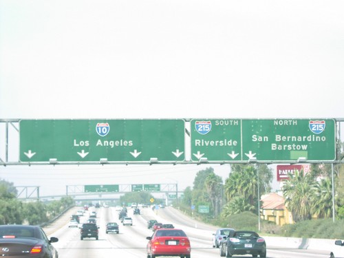
I-10 west to Los Angeles at Exit 72 - I-215/Riverside/San Bernardino/Barstow.

I-10 West Exit 72

I-10 West Exit 72

I-10 west at Exit 72 - I-215/Riverside/San Bernardino/Barstow.

I-10 West Exit 77C

I-10 West Exit 77C

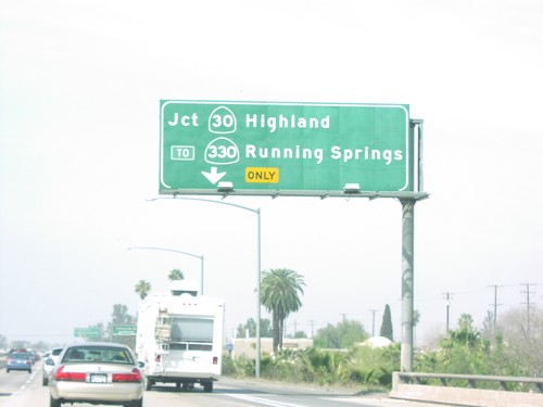
I-10 west approaching Exit 77C - CA-30/Highland/To CA-330/Running Springs.

I-10 West Exit 79

I-10 West Exit 79

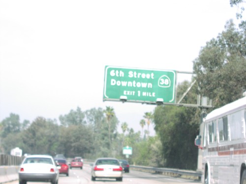
I-10 west approaching Exit 79 - CA-38/6th St./Downtown, 1 mile.

I-10 West Exit 88

I-10 West Exit 88

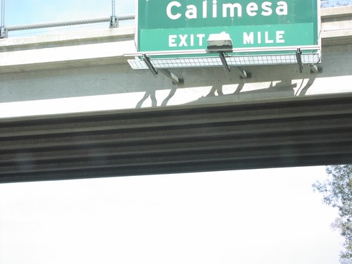
I-10 west approaching Exit 88 - Calimesa exit, 1 mile.

I-10 West Exit 88

I-10 West Exit 88

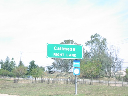
Use right lane for Exit 88 - Calimesa exit, on I-10 west.

I-10 West Exit 90

I-10 West Exit 90

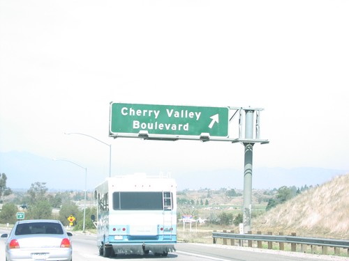
I-10 west at Exit 90 - Cherry Valley Blvd. exit.

I-10 West Exit 93

I-10 West Exit 93

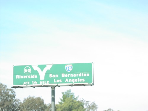
I-10 west approaching Exit 93 - CA-60/Riverside, 1/2 mile.

I-10 West Exit 93

I-10 West Exit 93

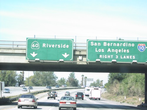
I-10 west approaching Exit 93 - CA-60/Riverside. Use right 3 lanes for I-10.

I-10 West Overhead at I-15

I-10 West Overhead at I-15

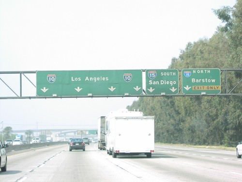
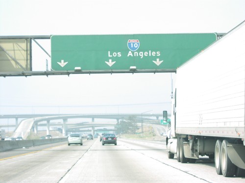
I-10 Los Angeles overheads, at Exit 58 - I-15 junction.

I-84 East at BL-84/To ID-78 East

I-84 East at BL-84/To ID-78 East

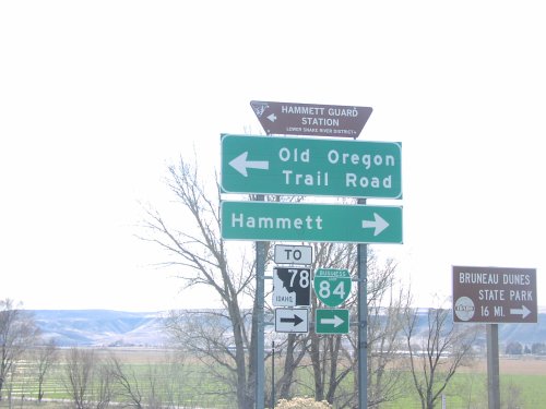
I-84 East Exit 112 offramp at BL-84. Turn right on BL-84/To ID-78 for Hammett and Bruneau Dunes State Park. Turn left for Old Oregon Trail Road.
I-84 West at BL-84/To ID-78

I-84 West at BL-84/To ID-78

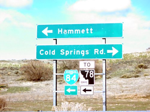
I-84 west at Exit 114 offramp. Turn left for BL-84 West/To ID-78 to Hammett. Turn right for Cold Springs Road.
ID-51 North - Distance Marker

ID-51 North - Distance Marker

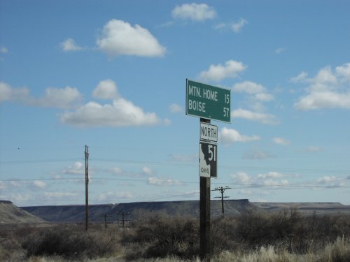
Distance marker on ID-51 north to Mountain Home and Boise.
ID-78 West at ID-67 East

ID-78 West at ID-67 East

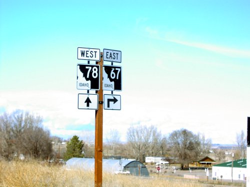
ID-78 west at ID-67 east to Mountain Home.

Old US-30 at I-84/BL-84

Old US-30 at I-84/BL-84

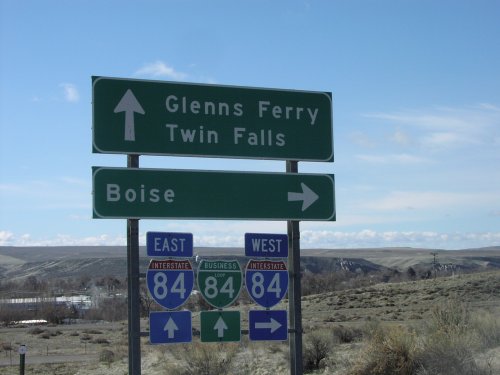
Old US-30 at I-84/BL-84 junction. Turn right on I-84 west towards Boise. Continue ahead for I-84/BL-84 towards Glenns Ferry and Twin Falls.

S Haven Ave. at CA-60 Exit 39 Onramp

S Haven Ave. at CA-60 Exit 39 Onramp

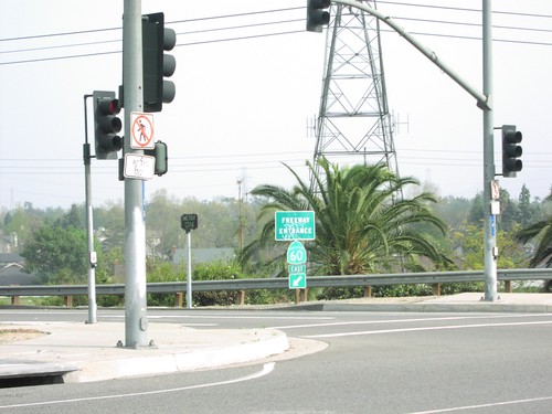
S. Haven Ave. at CA-60 east freeway entrance.

S. Haven Ave. Approaching CA-60

S. Haven Ave. Approaching CA-60

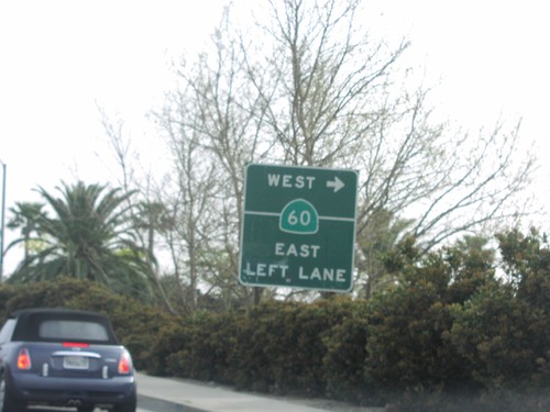
S. Haven Ave. at CA-60 west onramp.

S. Haven Ave. Approaching CA-60

S. Haven Ave. Approaching CA-60

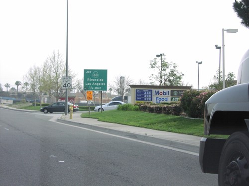
S. Haven Ave. approaching CA-60, Riverside Fwy, to Riverside and Los Angeles.