Javascript Is Required To Use This Page

Signs From July 2007
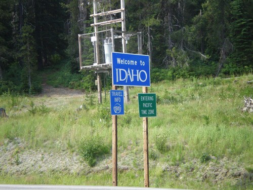
US-12 West - Welcome To Idaho

US-12 West - Welcome To Idaho

Welcome to Idaho on US-12 west at Lolo Pass. Entering Pacific Time Zone.
US-287 South at MTS-435

US-287 South at MTS-435

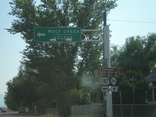
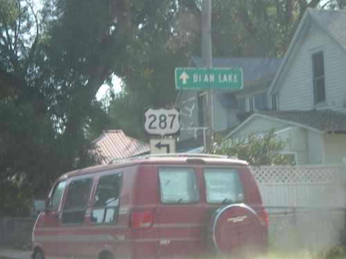
US-287 south to Wolf Creek and Helena at MTS-435 to Bain Lake.

US-287 South at MTS-435

US-287 South at MTS-435

US-287 south approaching MTS-435 to Bain Lake.

US-89 South at US-287

US-89 South at US-287

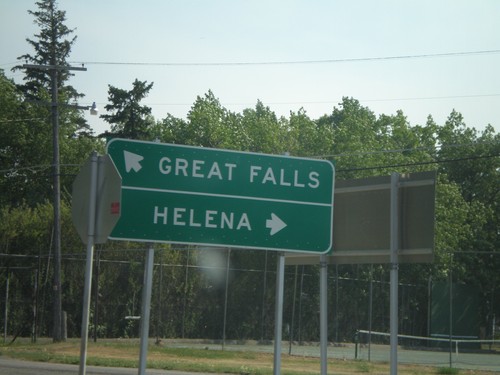
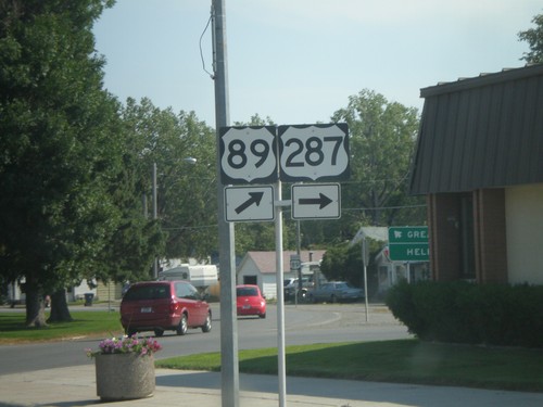
US-287 south at US-89 to Helena.

US-89 South at US-287 South

US-89 South at US-287 South

Begin of US-287 south at US-89 at the Teton County courthouse.

US-89 South at MT-44 East

US-89 South at MT-44 East

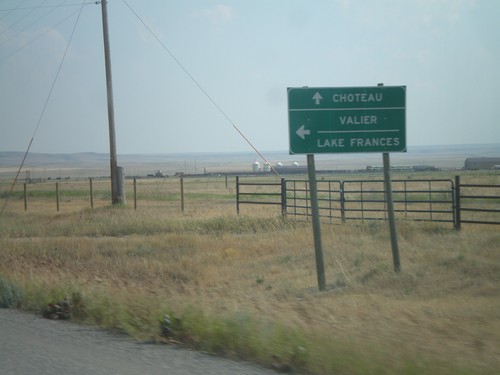
US-89 south at MT-44 east to Valier and Lake Frances.

US-89 South Approaching MT-44

US-89 South Approaching MT-44

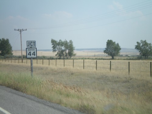
US-89 south approaching MT-44 east.

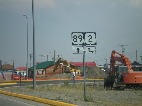
US-89 South at US-2

US-89 South at US-2

US-89 south at US-2.

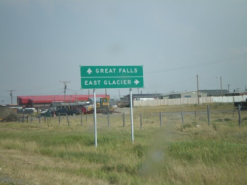
US-89 South at US-2 West

US-89 South at US-2 West

US-89 south at US-2 west to East Glacier.

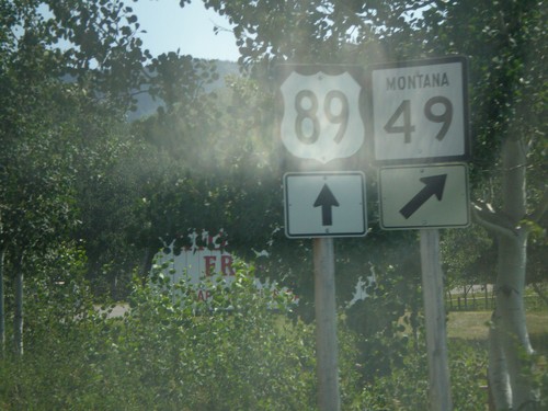
US-89 South at MT-49 South

US-89 South at MT-49 South

US-89 south at MT-49 south.

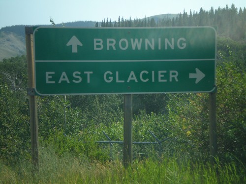
US-89 South at MT-49 South

US-89 South at MT-49 South

US-89 south at MT-49 south to East Glacier.

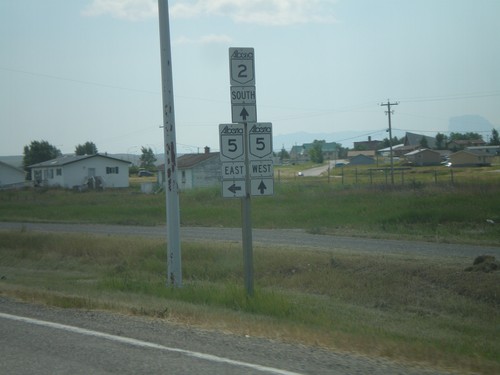
AB-2 South at AB-5 West

AB-2 South at AB-5 West

AB-2 south at AB-5 west to Waterton Park.

AB-2 South at AB-5 East

AB-2 South at AB-5 East

AB-2 south at AB-5 east. AB-5 follows AB-2 south through Cardston.

AB-2 South at AB-5 East

AB-2 South at AB-5 East

AB-2 south approaching AB-5 east.

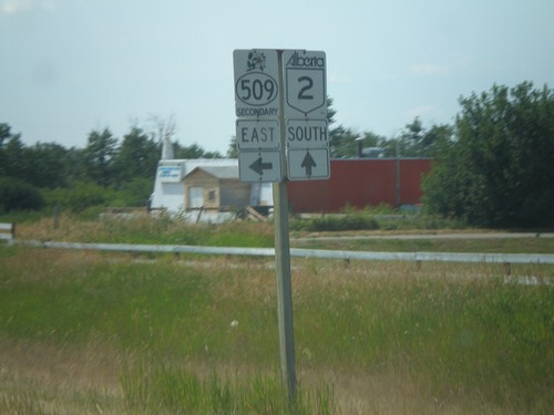
AB-2 South at ABS-509 Jct.

AB-2 South at ABS-509 Jct.

AB-2 south at ABS-509 east.

Distance Marker on AB-2 South

Distance Marker on AB-2 South

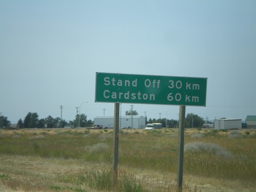
Distance marker on AB-2 south of AB-3, to Stand Off and Cardston.

AB-3 East at AB-2 South

AB-3 East at AB-2 South

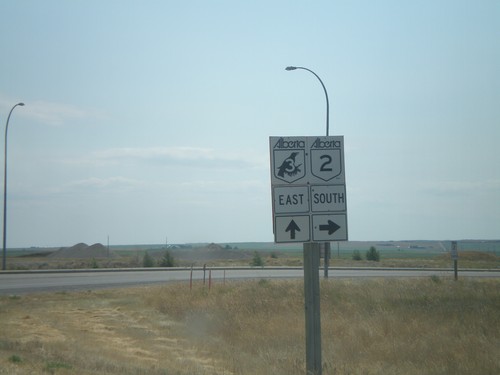
AB-3 east at AB-2 south to Cardston.

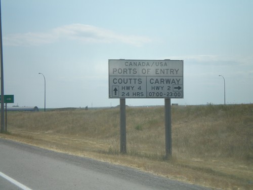
AB-3 East Port of Entry Information

AB-3 East Port of Entry Information

AB-3 east approaching AB-2 south. Hours and locations of US Ports of Entry in this area.
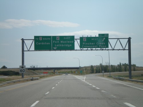
AB-3 East AB-2 Jct.

AB-3 East AB-2 Jct.

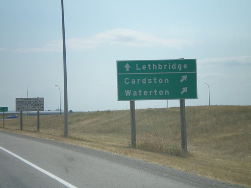
AB-3 east approaching AB-2 south to Waterton Park and Cardston.

AB-3 East ABS-811

AB-3 East ABS-811

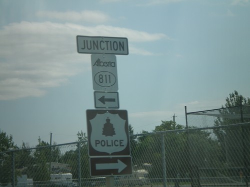
AB-3 east at ABS-801 north.

AB-2 South Exit 89

AB-2 South Exit 89

AB-2 south at AB-3 - east to Lethbridge and Fort Macleod. AB-3 west to Pincher Creek and Crowsnest Pass.
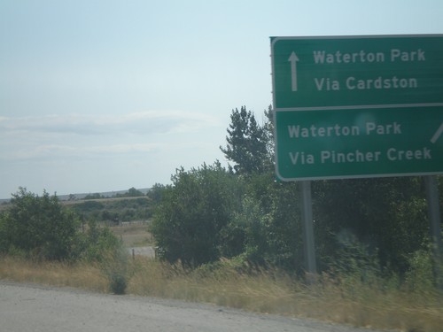
AB-2 South Exit 89, Waterton Park Info

AB-2 South Exit 89, Waterton Park Info

AB-2 south approaching Exit 89, AB-3. Waterton Park via Cardston (AB-3 east), via Pincher Creek (AB-3 west).
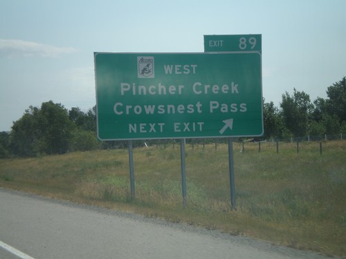
AB-2 South Exit 89

AB-2 South Exit 89

AB-2 south approaching Exit 89, AB-3 West (Crowsnest Hwy.)/Pincher Creek/Crowsnest Pass.
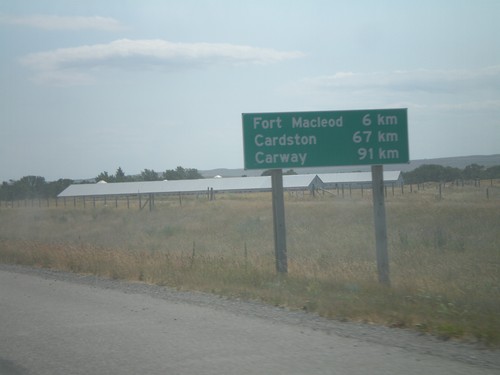
Distance Marker on AB-2 South

Distance Marker on AB-2 South

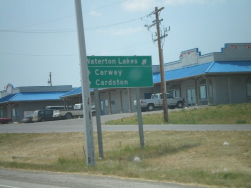
Distance marker on AB-2 south to Fort Macleod, Cardston, and Carway, south of ABS-785.
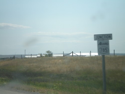
AB-2 South ABS-785 Jct.

AB-2 South ABS-785 Jct.

AB-2 south approaching ABS-785 to Head-Smashed-In-Buffalo Jump Provincial Park.
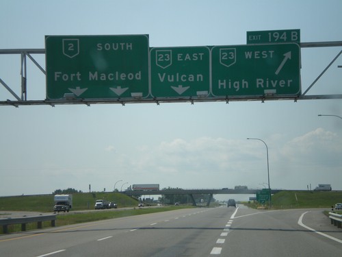
AB-23 South AB-2 Jct.

AB-23 South AB-2 Jct.

AB-23 east at AB-2 to Calgary and Fort Macleod.

AB-2 South Exit 194AB

AB-2 South Exit 194AB

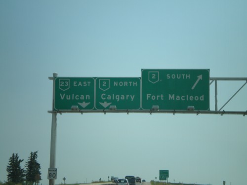
AB-2 south at Exit 194B, AB-23 West/High River, approaching Exit 194A, AB-23 East/Vulcan.
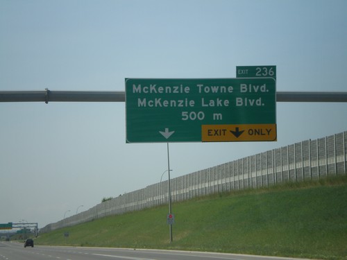
AB-2 South Exit 194B

AB-2 South Exit 194B

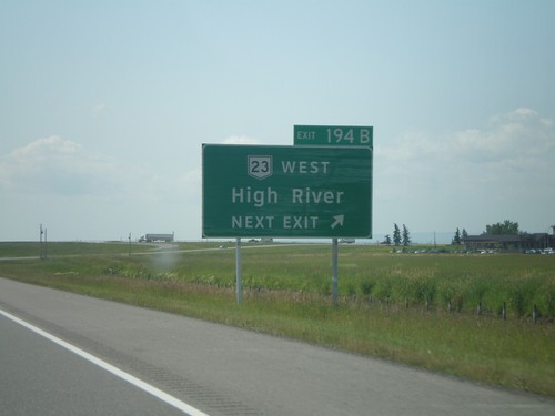
AB-2 south approaching Exit 194B, AB-23 West/High River.

AB-2 South Exit 222

AB-2 South Exit 222

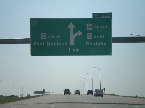
AB-2 south approaching Exit 222, AB-2A/ABS-522/Okotoks, 1 km.

AB-2 South Exit 234

AB-2 South Exit 234

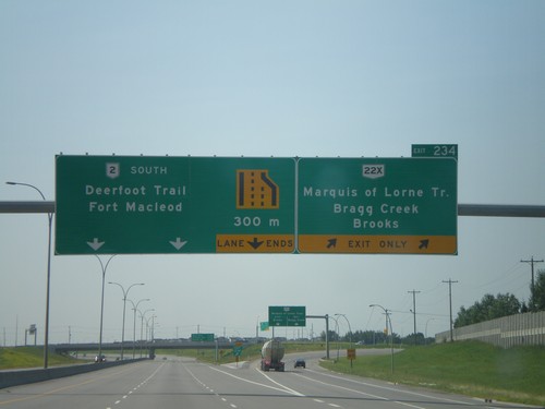
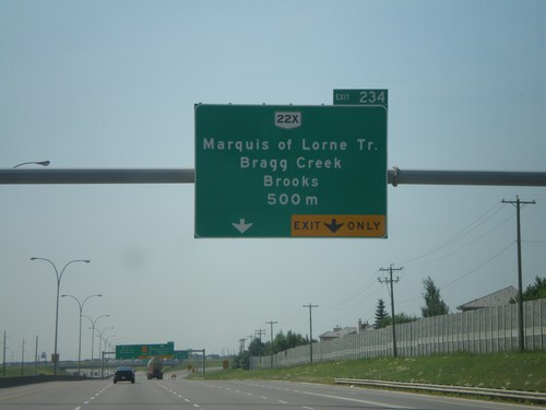
AB-2 south at Exit 234, AB-22X/Marquis of Lorne Trail/Brooks/Bragg Creek.

AB-2 South Exit 234

AB-2 South Exit 234

AB-2 south approaching AB-22x/Marquis of Lorme Trail/Brooks, 500 metres.

AB-2 South Exit 236

AB-2 South Exit 236

AB-2 south approaching Exit 236, Mackenzie Towne Blvd/Mackenzie Lake Blvd., 500 metres.
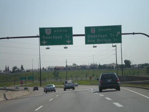
AB-2 South Exit 240

AB-2 South Exit 240

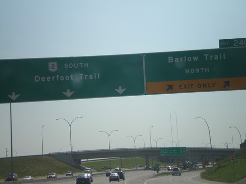
AB-2 (Deerfoot Trail) south at Exit 240, Barlow Trail.

Anderson Dr. at AB-2/Deerfoot Trail

Anderson Dr. at AB-2/Deerfoot Trail

Anderson Drive east approaching AB-2 (Deerfoot Trail) and Bow Bottom Trail.
Anderson Rd@Macleod Trail - Calgary

Anderson Rd@Macleod Trail - Calgary

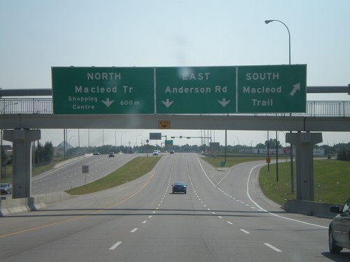
Anderson Drive east at MacLeod Trail interchange.

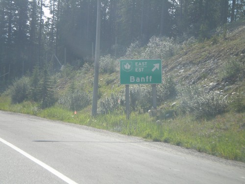
TC-1 Onramp at East Banff IC

TC-1 Onramp at East Banff IC

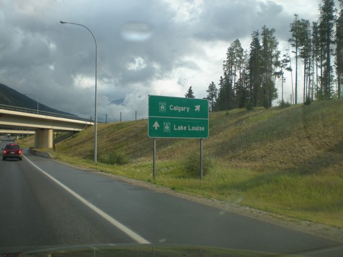
Banff Ave. north at TC-1 freeway entrance to Lake Louise and Calgary.

AB-93 North TC-1 East, Banff

AB-93 North TC-1 East, Banff

AB-93 north at TC-1 East/Est to Banff.

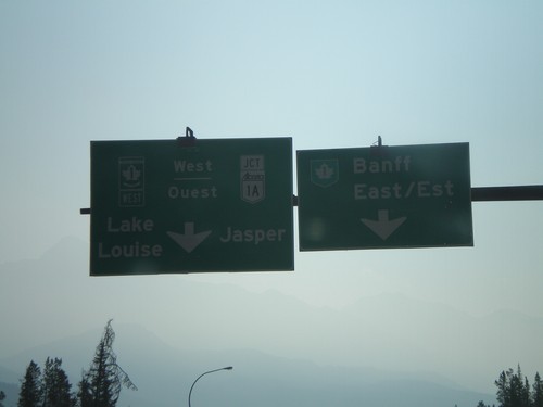
AB-93 North TC-1/TC-1A Jct.

AB-93 North TC-1/TC-1A Jct.

AB-93 north approaching TC-1/AB-1A to Lake Louise, Jasper, and Banff.

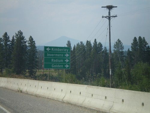
BC-95/BC-93 North at BC-95A

BC-95/BC-93 North at BC-95A

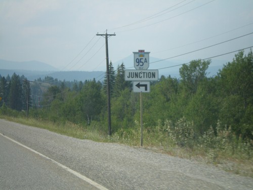
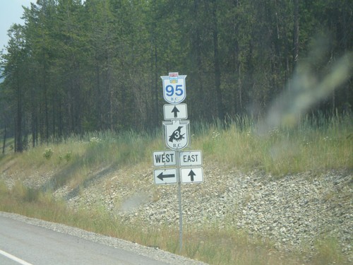
BC-95/BC-93 north at BC-95A.

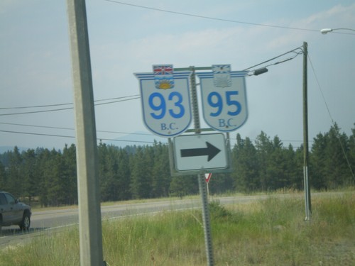
BC-95/BC-93 North at BC-95A

BC-95/BC-93 North at BC-95A

BC-93/BC-95 north to Radium, Golden, and Invermere, at BC-95A south to Kimberley.
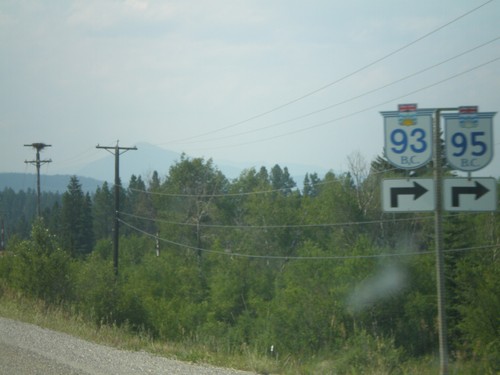
BC-95/BC-93 North at BC-95A

BC-95/BC-93 North at BC-95A

BC-93/BC-95 approaching BC-95A. Turn right for BC-93/BC-95 north.

BC-95/BC-93 North at BC-95A

BC-95/BC-93 North at BC-95A

BC-93/BC-95 north approaching BC-95A.

BC-3 East/BC-95 North at BC-93/BC-95

BC-3 East/BC-95 North at BC-93/BC-95

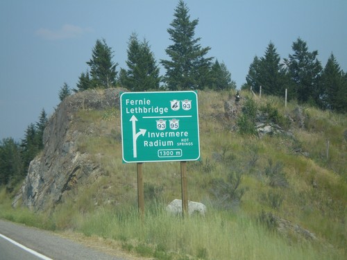
Approaching BC-3 East/BC-95 North split in 1300 metres. BC-3 East joins BC-93 South to Fernie and Lethbridge (AB). BC-95/BC-93 north to Invermere and Radium.
BC-3 East/BC-95 North at BC-95A

BC-3 East/BC-95 North at BC-95A

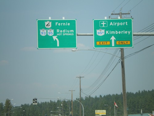
BC-3/BC-95 west to Fernie and Radium Hot Springs at BC-95A to Kimberley.
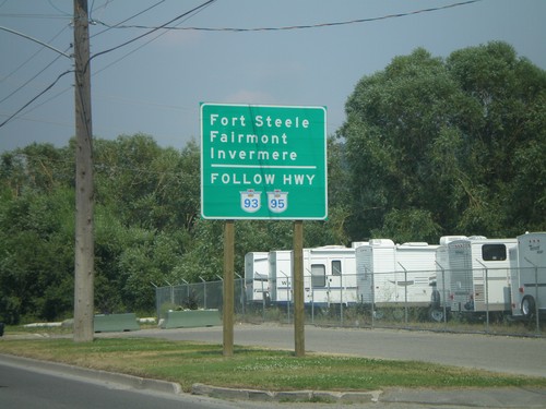
BC-3 East Approaching BC-95A

BC-3 East Approaching BC-95A

Use BC-93/BC-95 north for Fort Steele, Fairmont, and Invermere, approaching BC-95A on BC-3 east.
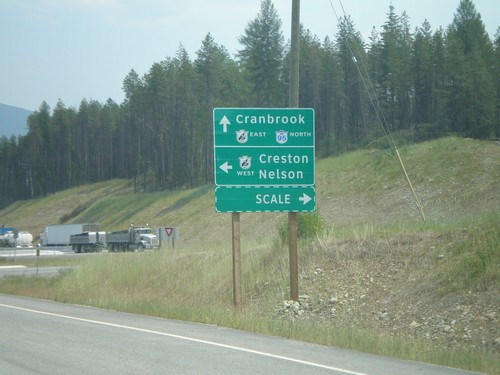
BC-95 North at BC-3

BC-95 North at BC-3

BC-95 north at BC-3 (Crowsnest Highway) west to Creston and Nelson, east to Cranbrook.
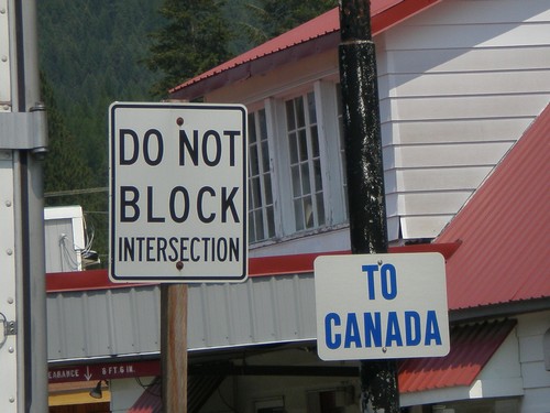
BC-95 North at BC-3

BC-95 North at BC-3

BC-95 north approaching BC-3 (Crowsnest Highway).

US-95 at Boundary St. - Continue Ahead For Canada

US-95 at Boundary St. - Continue Ahead For Canada

US-95 approaching international boundary in Eastport. Stay on US-95 for Canada.
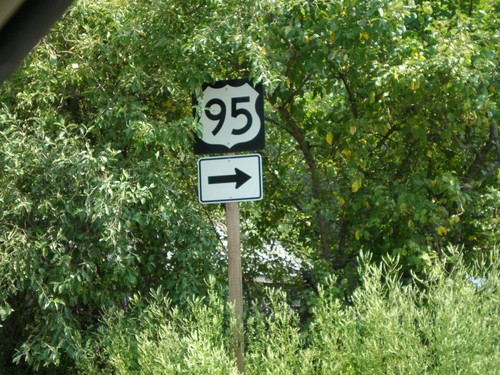
US-95 - U.S. Border Station, Eastport, Idaho

US-95 - U.S. Border Station, Eastport, Idaho

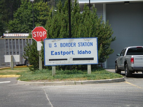
US-95 north at the US Border Station - Eastport, Idaho.

US-95 Leaving US Customs

US-95 Leaving US Customs

US-95 shield at exit of US Customs at Port of Eastport. Turn right for US-95 and to leave US Customs facility.
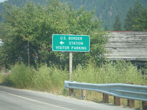
US-95 North - US Border Station Parking

US-95 North - US Border Station Parking

US-95 north at US Border Station Visitor Parking, at the US-Canada boundary in Eastport.
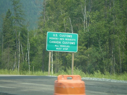
US-95 North Approaching US-Canada Border

US-95 North Approaching US-Canada Border

US-95 north approaching US-Canada Border. For Reentry Information Requests turn left to access US Customs. Continue straight ahead for Canada Customs.
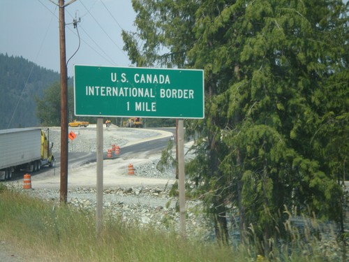
US-95 North - Approaching US-Canada Boundary

US-95 North - Approaching US-Canada Boundary

US-95 north approaching US-Canada International Border in Boundary County.
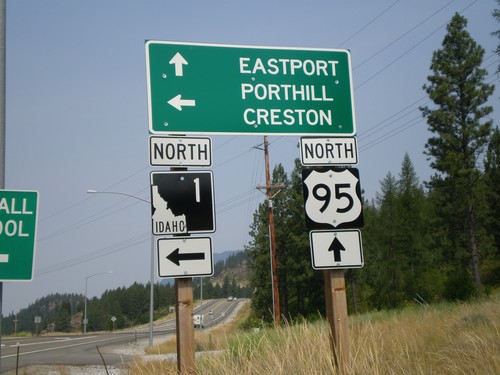
US-95 North At ID-1

US-95 North At ID-1

US-95 north at ID-1. Continue north on US-95 for the Canadian Border, Port of Eastport/Port of Kingsgate crossing. Use ID-1 north for the Canadian Border, Port of Porthill/Port of Rykerts.
US-95 North - Idaho Ports Of Entry Hours

US-95 North - Idaho Ports Of Entry Hours

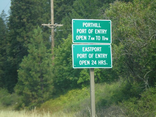
Customs hours approaching on US-95 north approaching ID-1 junction. Porthill Port of Entry (via ID-1) open from 7 AM - 11 PM. Eastport Port of Entry (via US-95) open 24 hours.
US-2 West At US-95

US-2 West At US-95

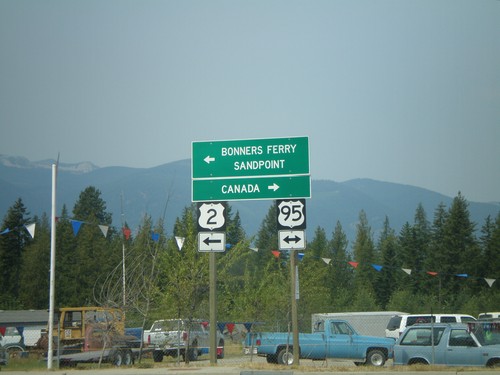
US-2 west at US-95. Turn right for US-95 north to Canada. Turn left for US-95 South/US-2 West to Sandpoint and Bonners Ferry.
US-2 West Approaching US-95

US-2 West Approaching US-95

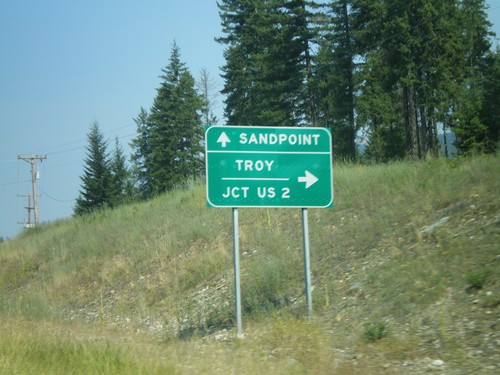
US-2 west approaching US-95 in Boundary County.

US-2 West at MTS-508 North

US-2 West at MTS-508 North

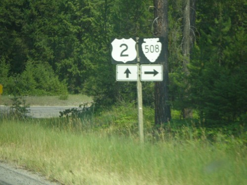
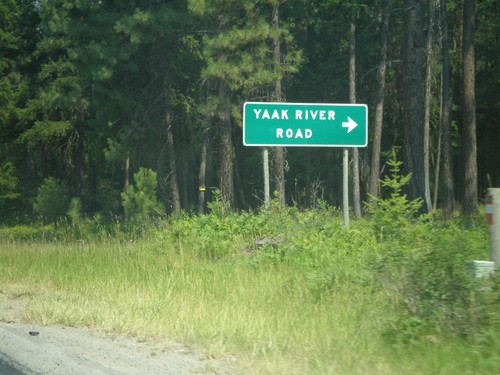
US-2 west at Yaak River Road, MTS-508 north.

US-2 West Approaching MTS-508

US-2 West Approaching MTS-508

US-2 west at Yaak River Road, MTS-508 north.

End MT-56 North at US-2

End MT-56 North at US-2

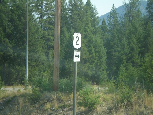
End MT-56 north at US-2.

End MT-56 North at US-2

End MT-56 North at US-2

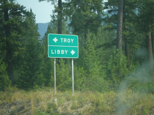
End MT-56 north at US-2 to Troy and Libby.

End MT-56 South at MT-200

End MT-56 South at MT-200

End MT-56 south at MT-200.

MT-56 North - Distance Marker

MT-56 North - Distance Marker

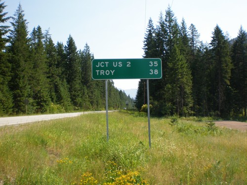
Begin MT-56 north to Troy and US-2.

MT-200 West at MT-56 North

MT-200 West at MT-56 North

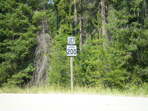
MT-200 west approaching MT-56 north to Troy and US-2. MT-200 continues west to Sandpoint (ID).
MT-200 West at MTS-556

MT-200 West at MTS-556

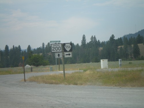
MT-200 west at MTS-556/Thompson River Road north.

MT-200 West at MT-28

MT-200 West at MT-28

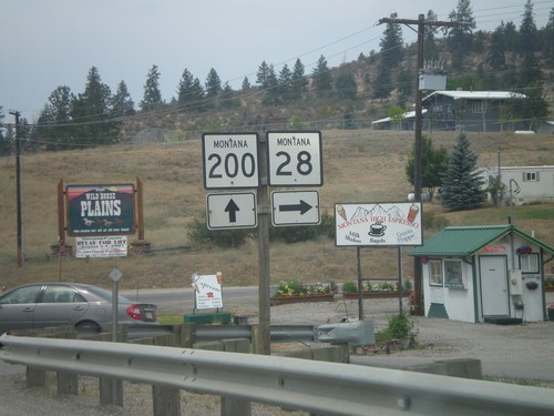
MT-200 west at MT-28.

MT-200 West at MT-28

MT-200 West at MT-28

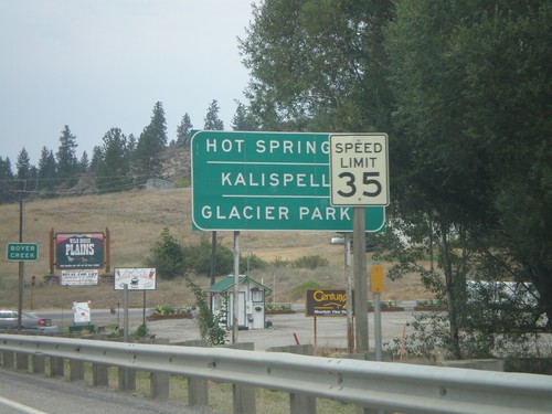
MT-200 west approaching MT-28 to Hot Springs, Kalispell, and Glacier Park.

End MT-135 East at MT-200

End MT-135 East at MT-200

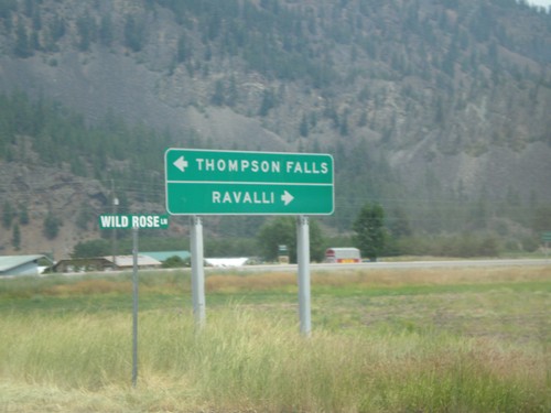
End MT-135 east at MT-200 to Thompson Falls and Ravalli.

MT-135 - St. Regis

MT-135 - St. Regis

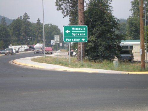
Old Highway 10 at MT-135 near I-90, to Spokane/Missoula and Paradise.

US-95 North at ID-5 East

US-95 North at ID-5 East

US-95 north at ID-5 east to St. Maries. Continue north on US-95 for Coeur d’Alene and Spokane (Washington).
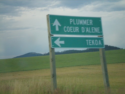
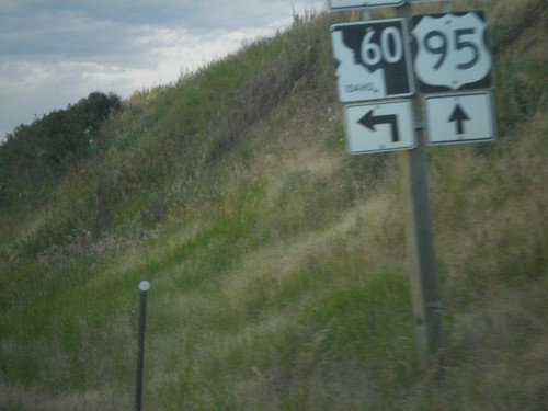
US-95 North approaching ID-60

US-95 North approaching ID-60

US-95 north at ID-60 west to Tekoa (Washington). Continue north on US-95 for Plummer and Coeur d’Alene.
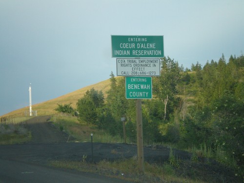
US-95 North at ID-60

US-95 North at ID-60

US-95 north at ID-60 in Benewah County.

US-95 North - Benewah County and Coeur d'Alene Indian Res.

US-95 North - Benewah County and Coeur d'Alene Indian Res.

US-95 north - Entering Benewah County and Coeur d’Alene Indian Reservation.
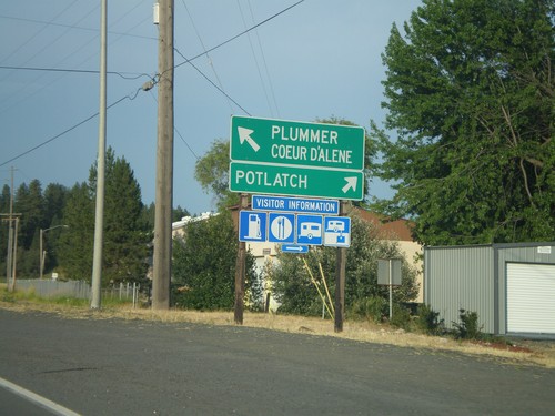
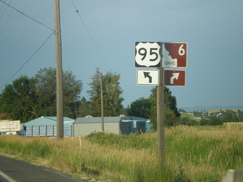
US-95 North/ID-6 At ID-6 East

US-95 North/ID-6 At ID-6 East

US-95 North/ID-6 East at ID-6 junction. Turn right for ID-6 east to Potlatch; merge left for US-95 north to Plummer and Coeur d’Alene.
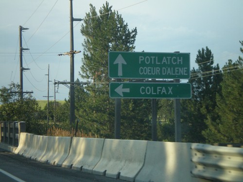
US-95 North/ID-6 Approaching ID-6 East

US-95 North/ID-6 Approaching ID-6 East

US-95 North/ID-6 at ID-6 east junction near Potlatch.

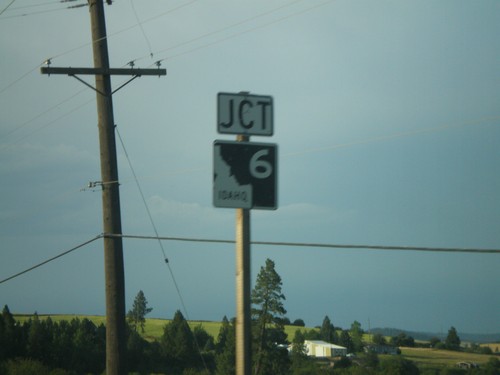
US-95 North at ID-6 West

US-95 North at ID-6 West

US-95 north at ID-6 west to Colfax (Washington). Continue north on US-95/ID-6 East to Potlatch and Coeur d’Alene.
US-95 North Approaching ID-6 West

US-95 North Approaching ID-6 West

US-95 north approaching ID-6 west in Latah County.

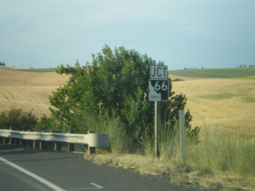
US-95 North Approaching ID-66

US-95 North Approaching ID-66

US-95 north approaching ID-66 in Latah County.

US-95 North at US-195 To Spokane

US-95 North at US-195 To Spokane

US-95 north at US-195 north to Spokane.

US-95 North at US-195 North

US-95 North at US-195 North

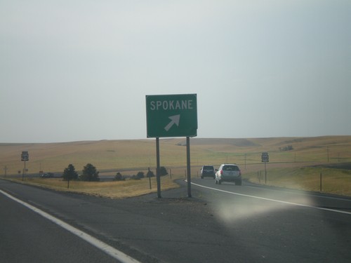
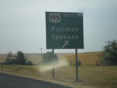
US-95 north at US-195 north to Pullman (WA) and Spokane (WA).

US-95 North/US-12 at US-12 West

US-95 North/US-12 at US-12 West

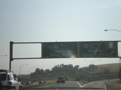
US-95 North/US-12 West at US-95/US-12 split. Use right lane for US-95 north to Moscow and Coeur d’Alene. Use left lanes for US-12 west to Lewiston and Walla Walla (Washington).
US-95 North at US-12

US-95 North at US-12

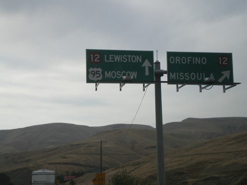
US-95 north at US-12. Merge right for US-12 east to Orofino and Missoula (Montana). Continue straight ahead for US-95 North/US-12 West to Lewiston and Moscow. US-12 joins US-95 north to Lewiston.
US-95 North Approaching US-12

US-95 North Approaching US-12

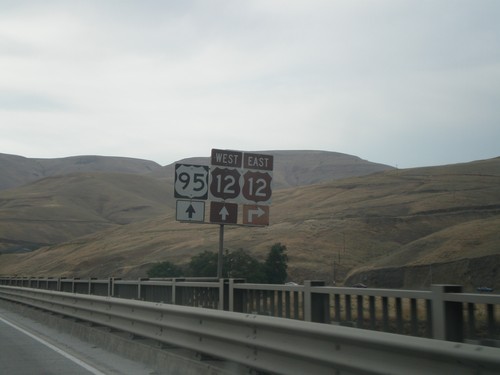
US-95 north approaching US-12, on the Clearwater River bridge in Nez Perce County.
US-95 North at Bus. US-95 - Craigmont North Entrance

US-95 North at Bus. US-95 - Craigmont North Entrance

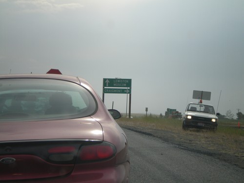
US-95 north at Bus. US-95 to Craigmont. Continue north on US-95 for Lewiston and Moscow.
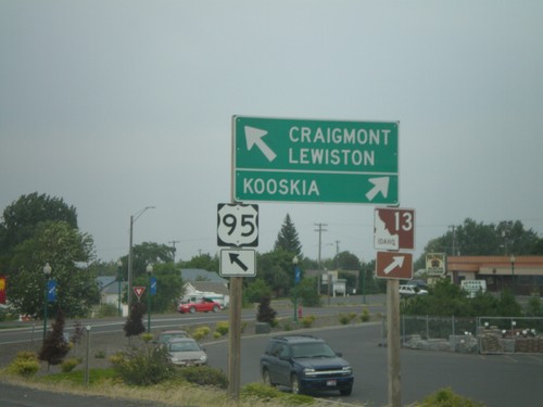
US-95 North at ID-13

US-95 North at ID-13

US-95 north at ID-13 east to Kooskia. Continue north on US-95 for Craigmont and Lewiston.
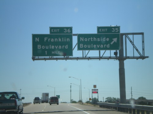
I-84 East - Exit 35 Approaching Exit 36

I-84 East - Exit 35 Approaching Exit 36

I-84 east at Exit 35 - Northside Blvd. Approaching Exit 36 - N Franklin Blvd.
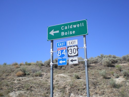
I-84/US-30 Exit 9 Onramp

I-84/US-30 Exit 9 Onramp

US-30 east at I-84 East (Exit 9) onramp to Caldwell and Boise. US-30 joins I-84 east to Bliss.
I-84 East - Exit 9

I-84 East - Exit 9

I-84 east at Exit 9 - US-30/New Plymouth/Emmett.

I-84 East - Exit 9

I-84 East - Exit 9

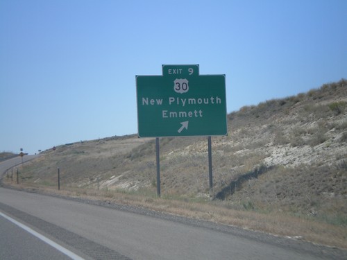
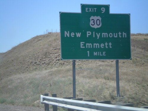
I-84 east approaching Exit 9 - US-30/New Plymouth/Emmett.

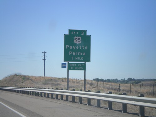
I-84 East - Exit 3

I-84 East - Exit 3

I-84 east at Exit 3 - US-95/Payette/Parma. This is the first exit on I-84 eastbound in Idaho.
US-30 West at I-84 East

US-30 West at I-84 East

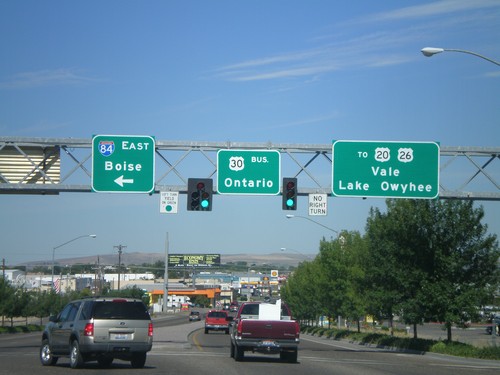
US-30 west at I-84 east to Boise (ID), and Bus. US-30 west to Ontario.

US-30 West at I-84 West

US-30 West at I-84 West

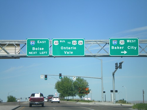
US-30 west at I-84/US-30 West, Baker City.

US-95 South At US-30

US-95 South At US-30

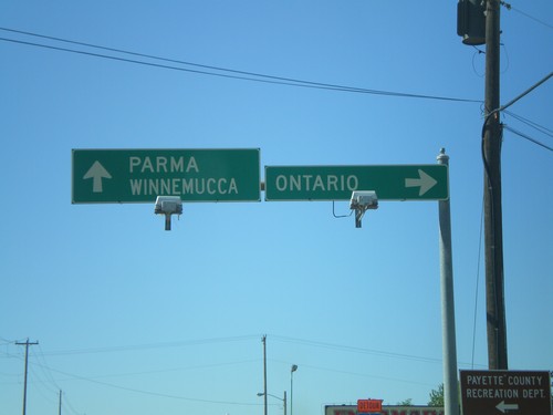
US-95 south at US-30 west to Ontario, Oregon. Continue south on US-95/US-30 for Parma and Winnemucca (Nevada).
US-95 South at US-30

US-95 South at US-30

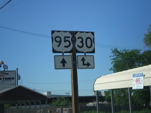
US-95 south at US-30 in Fruitland. US-30 east joins US-95 south through Fruitland.
US-95 South - Weiser Truck Routes

US-95 South - Weiser Truck Routes

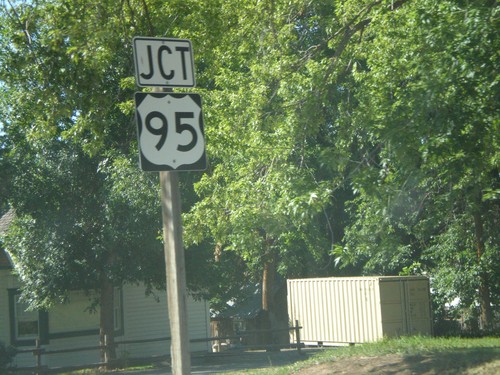
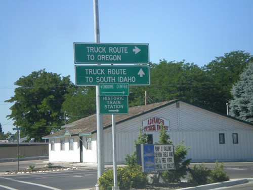
US-95 south at US-95 Spur. Oregon bound truck traffic use US-95 spur. South Idaho truck traffic, continue south on US-95.
End ID-71 South at US-95

End ID-71 South at US-95

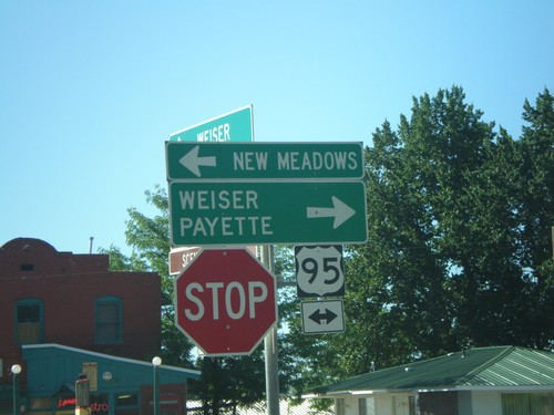
End ID-71 south at US-95 north to New Meadows, and south to Weiser and Payette.

End ID-71 South at US-95

End ID-71 South at US-95

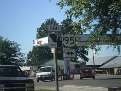
End ID-71 south at US-95.
ID-71 South at US-95

ID-71 South at US-95

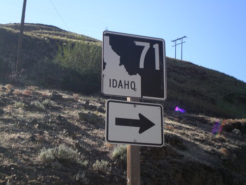
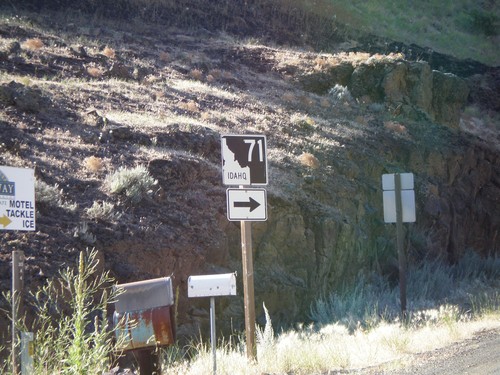
ID-71 south approaching US-95.
ID-71 North - Idaho/Oregon Line

ID-71 North - Idaho/Oregon Line

ID-71 south at the Oregon line.
ID-71 North - Idaho/Oregon Line

ID-71 North - Idaho/Oregon Line

ID-71 south at the Oregon line.