Signs From November 2007
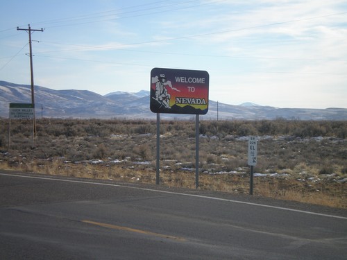
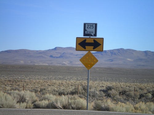
Welcome To Nevada - NV-225 South
Welcome to Nevada on NV-225 south. Elko County Nevada Postmile marker as well.
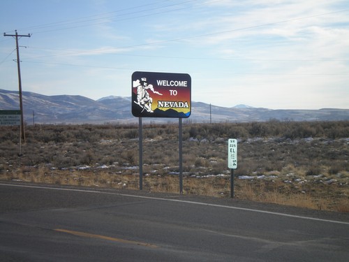
Welcome To Nevada - NV-225 South
Welcome to Nevada on NV-225 south. Elko County Nevada Postmile marker as well.
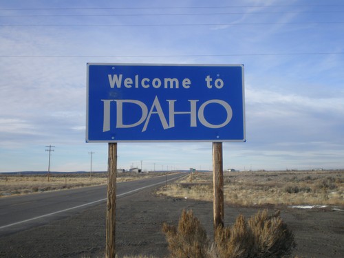
Welcome To Idaho - ID-51 North
Welcome to Idaho on ID-51 north. Taken on Idaho’s only highway crossing with Nevada.
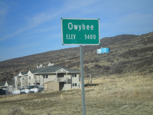
NV-225 North - Entering Owyhee
Entering Owyhee, Nevada on NV-225 north. Elevation 5400 feet. Owyhee is on the Duck Valley Indian Reservation.
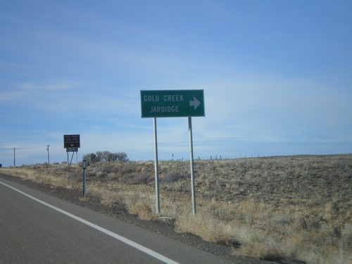
NV-225 North At Gold Creek/Jarbidge Jct
NV-225 north at the Gold Creek/Jarbidge Junction. Jarbidge, NV is one of the most isolated towns in the lower 48.
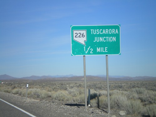
NV-225 North Approaching Tuscarora Jct.
NV-225 north approaching NV-226 at Tuscarora Junction. Nevada often gives names to its rural highway junctions.
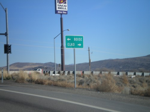
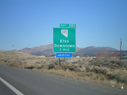
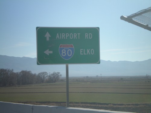
I-80 East Exit 301 Offramp at NV-225
I-80 east Exit 301 offramp at NV-225 north to Boise (ID) and south to Elko.
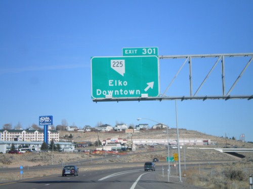
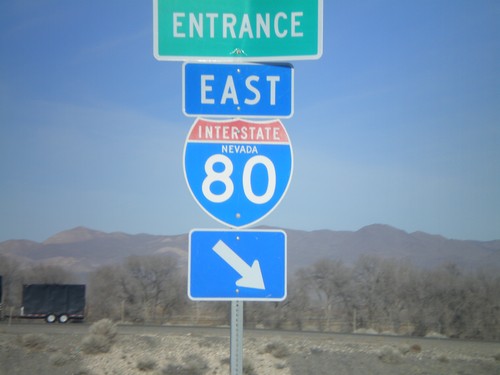
I-80 East Exit 301
I-80 east at Exit 301 - NV-225/Elko/Downtown. NV-225 connects Elko with Mountain Home, Idaho via ID-51.
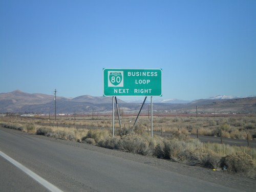
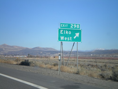
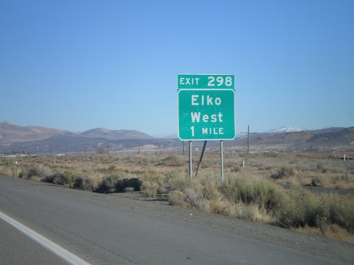
I-80 East Exit 298 - Business Loop
I-80 east approaching Exit 298. Exit 298 is the western end of BL-80 Business Loop through Elko. All Nevada exits with a Business Loop have this signage.
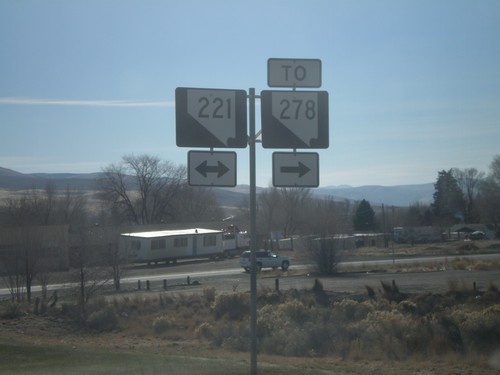
End NV-766 At NV-221 To NV-278
End NV-766 (10th St) at NV-221/To NV-228 (Chestnut St). These Nevada route shields do not contain the word Nevada.
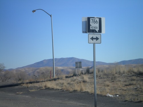
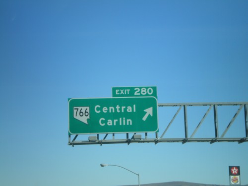
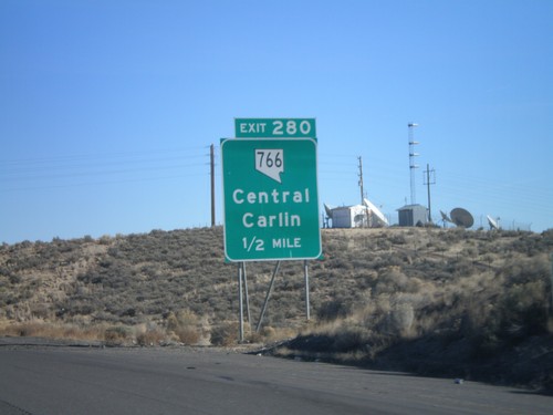
I-80 East Exit 280 Offramp at NV-766
I-80 east Exit 280 offramp at NV-766. NV-766 heads north to Newmont Gold Mine, south into Carlin.
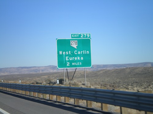
I-80 East Exit 279
I-80 east approaching Exit 279 - NV-278/West Carlin/Eureka. NV-278 connects Carlin with Eureka in Central Nevada.
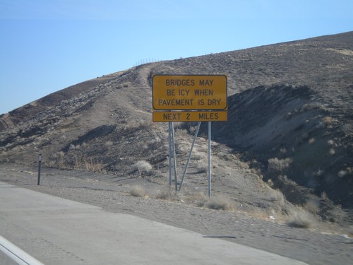
I-80 East - Bridges May Be Icy When Pavement Is Dry
I-80 east approaching Humboldt River. Bridges May Be Icy When Pavement Is Dry.
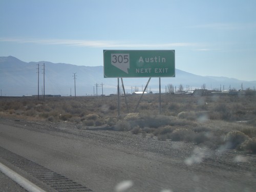
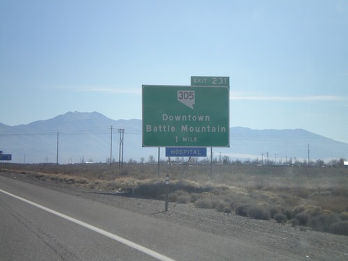
I-80 East Exit 231 - Use NV-305 For Austin
I-80 east approaching Exit 231. Use NV-305 South for Austin.
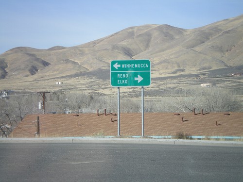
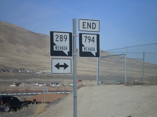
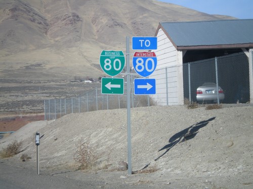
End NV-794 West at NV-289/BL-80
End NV-794 at NV-289/BL-80. Turn right on NV-289/BL-80 to Reno and Elko. Turn left for Winnemucca city center.
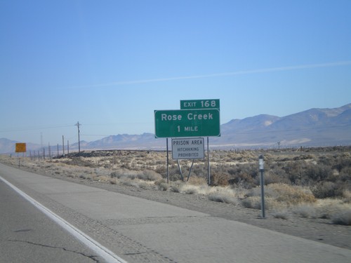
I-80 East Exit 168
I-80 east approaching Exit 168 - Rose Creek. Prison Area - Hitchhiking Prohibited.
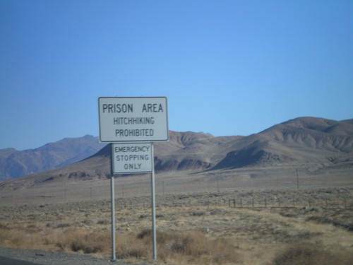
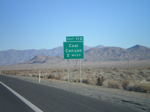
I-80 East Exit 112 - Prison Area
I-80 east approaching Exit 112. Prison Area - No Hitchhiking. Near Lovelock Prison.
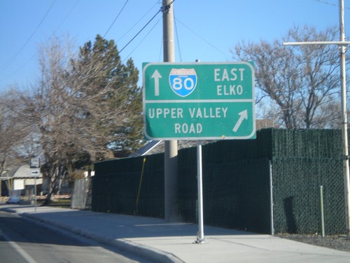
NV-396 East at NV-856
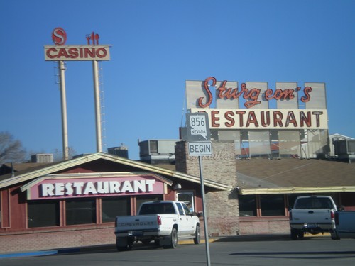
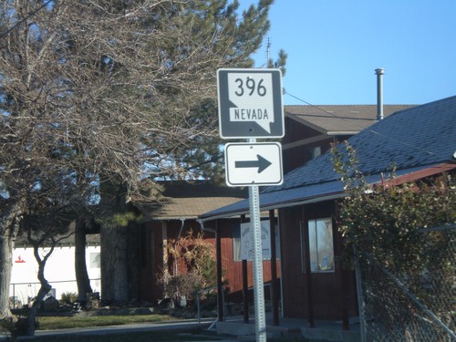
BL-80/NV-396 east at NV-856 jct. NV-396 continues to the right as Upper Valley Road. NV-856/BL-80 continue eastward.
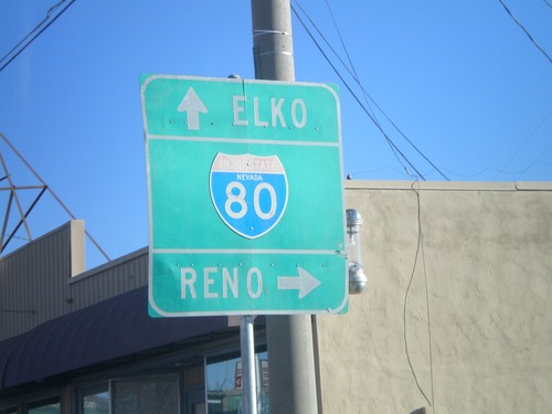
BL-80/NV-396 East at NV-398
BL-80/NV-396 east (Cornell Ave) at NV-398/Main St. Use NV-398 for I-80 westbound access.
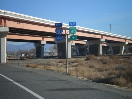
NV-396/BL-80 East at I-80 West
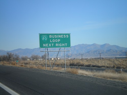
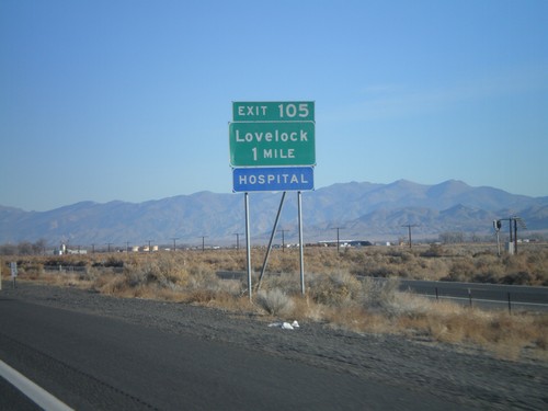
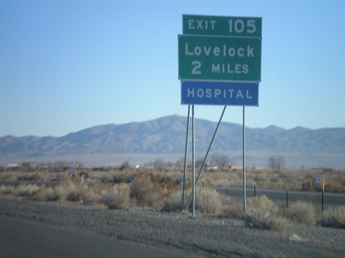
NV-396 east at begin BL-80 east. Approaching I-80 west ramps at Exit 105.
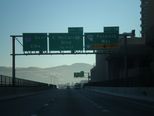
I-80 East Exits 18 and 19
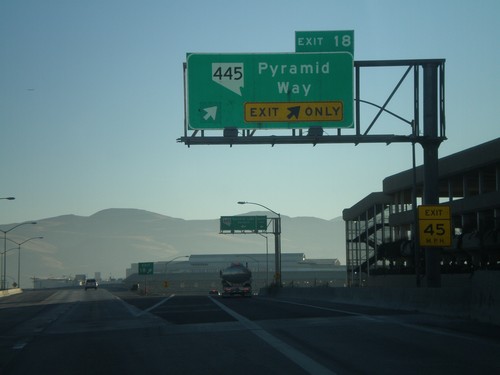
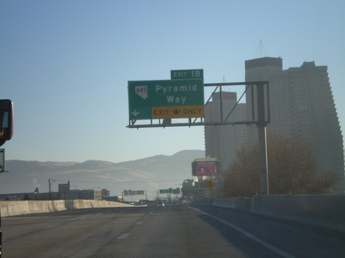
I-80 east approaching Exits 18 and 19. Exit 18 - NV-445/Pyramid Way and Exit 19 - East McCarran Blvd.
I-80 East Exit 17
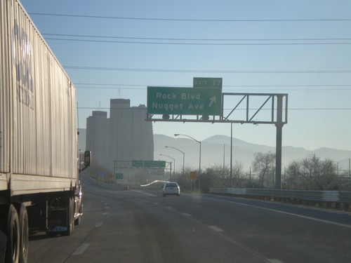
I-80 east at Exit 17 - Rock Blvd./Nugget Ave. The Nugget Casino is in the background.
I-80 East Exit 15
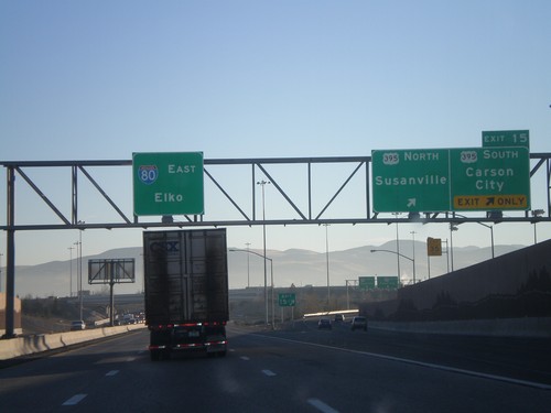
I-80 east at Exit 15 - US-395/Susanville/Carson City. US-395 between Reno and Carson City is currently begin upgraded to a freeway. At that point it will also be called I-580. Overhead for I-80 East to Elko. The control cities in Reno for I-80 east alternate between Elko and Salt Lake.
I-80 East Exit 13
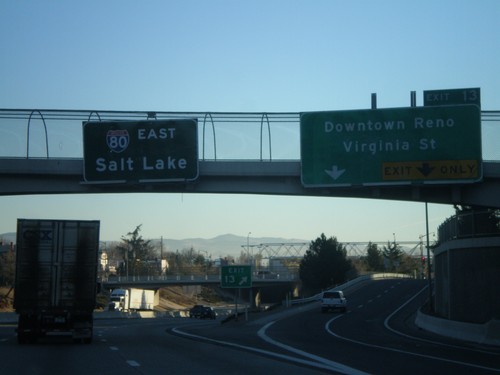
I-80 east at Exit 13 - Downtown Reno/Virginia St. Virginia St. leads south to the Reno equivalent of the Las Vegas Strip. Overhead of I-80 East to Salt Lake
I-80 East Exits 13 and 14
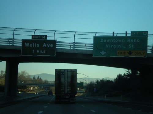
I-80 east approaching Exits 13 and 14. Exit 13 - Downtown Reno/Virginia St., and Exit 14 - Wells Ave.
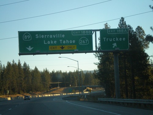
I-80 East Exits 188A and 188B
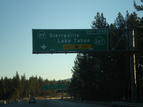
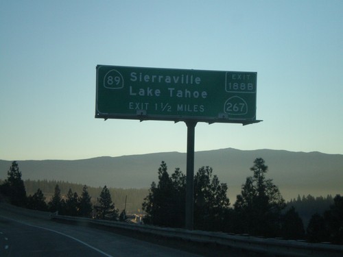
I-80 east at Exit 188A - Truckee and approaching Exit 188B - CA-89/Sierraville/CA-267/Lake Tahoe
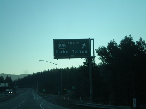
I-80 East Exit 185
I-80 east at Exit 185 - CA-89 South/Lake Tahoe. The exit number has not yet been posted on this sign.
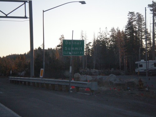
I-80 East - Donner Summit
I-80 east at Donner Pass - Elevation 7,227 Feet. This is the highest point on I-80 in California. The highest point on I-80 nationwide is in Wyoming.
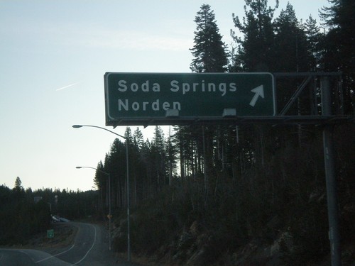
I-80 East Exit 174
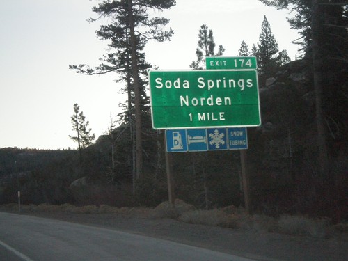
I-80 east at Exit 174 - Soda Springs/Norden. Exit numbers have not yet been added to this sign.
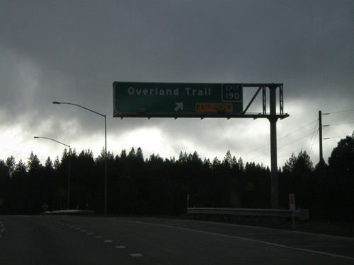
I-80 West Exit 190
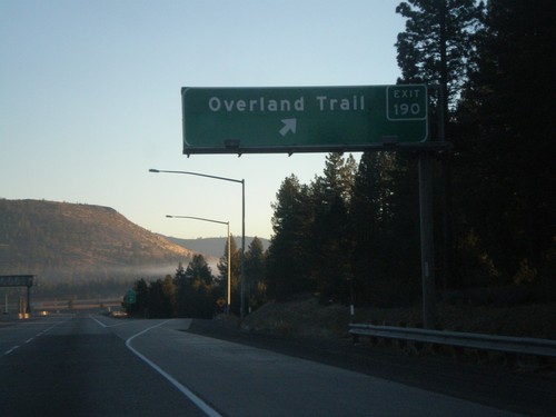
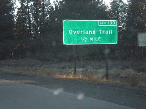
I-80 west at Exit 190 - Overland Trail. This interchange was recently renamed from Prosser Village Road.
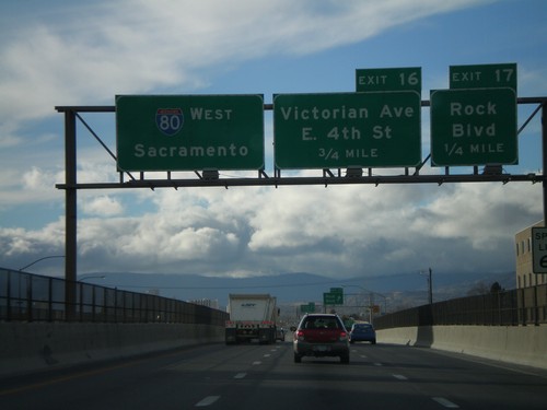
I-80 West Exits 17 and 16
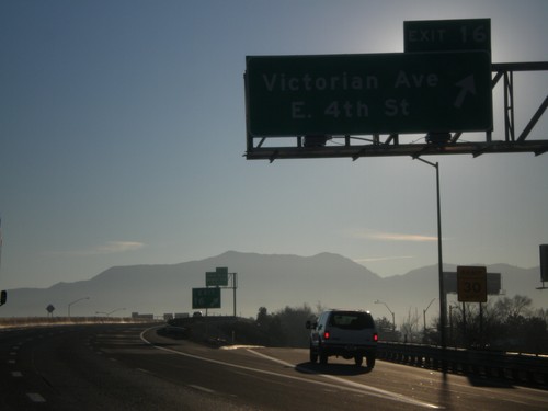
I-80 west approaching Exits 17 and 16. Exit 17 - Rock Blvd., and Exit 18 - Victorian Way/East 4th St.
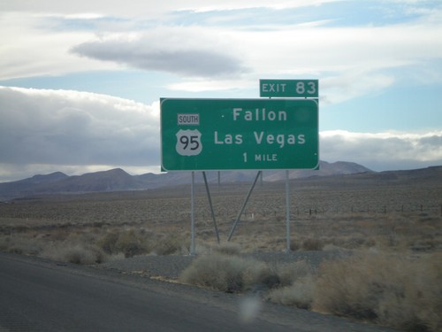
I-80 West Exit 83
I-80 west approaching Exit 83 - US-95 South/Fallon/Las Vegas. US-95 follows I-80 between here and Winnemucca.
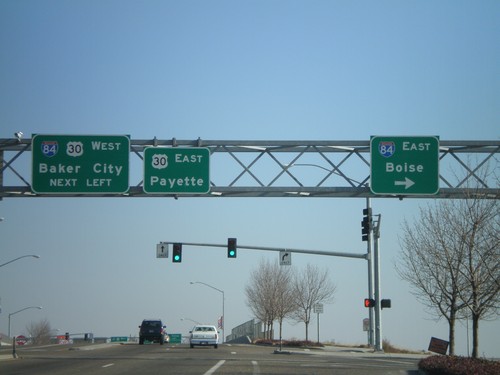
Bus. US-30 East at I-84
Bus. US-30 east at I-84 east to Boise - I-84 west to Baker, and US-30 east to Payette.
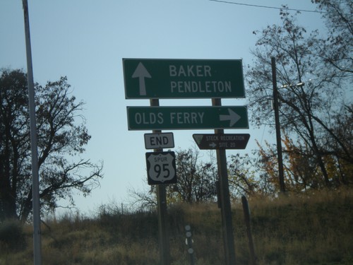
End US-95 Spur at Olds Ferry Jct.
US-95 Spur south at Olds Ferry Highway. US-95 Spur crosses the Snake River just south of here and enters Oregon. Sign reads End US-95 Spur - but it is still signed as US-95 Spur on the Oregon side of the Snake River.
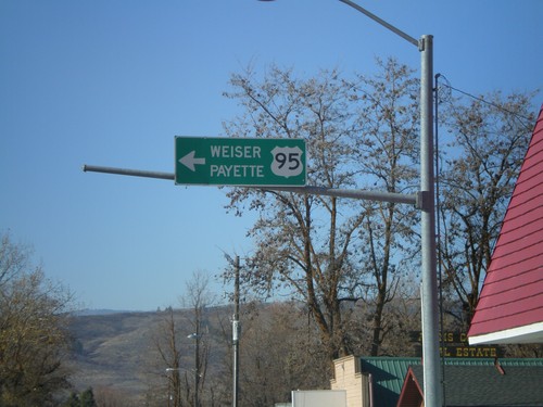
US-95 South - Council
US-95 south overhead to Weiser and Payette at Illinois Ave. and Michigan St. junction.
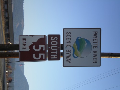
ID-55 South - Payette River Scenic Byway
Payette River Scenic Byway/ID-55 on ID-55 South. This sign is the newer style of scenic byway signs.
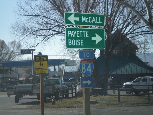
US-95 South at ID-55
US-95 South at ID-55. Although fastest way to Boise is via ID-55 - sign directs Boise traffic on US-95. US-95 south is the fastest way to I-84.
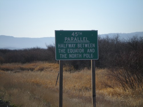
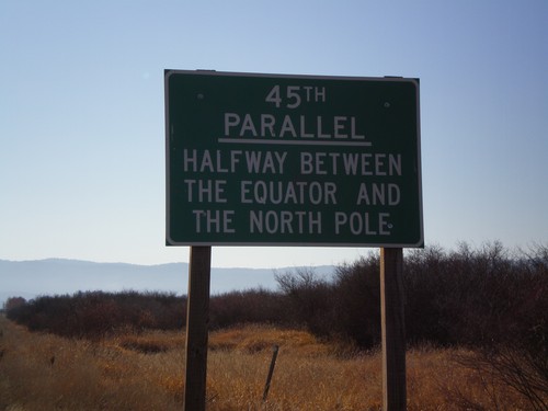
US-95 South - 45th Parallel
US-95 south at the 45th Parallel. Halfway between the Equator and the North Pole.
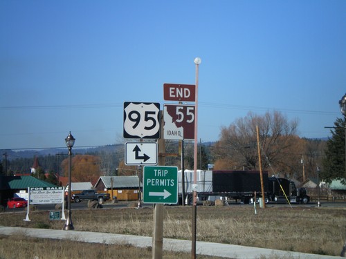
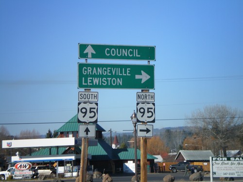
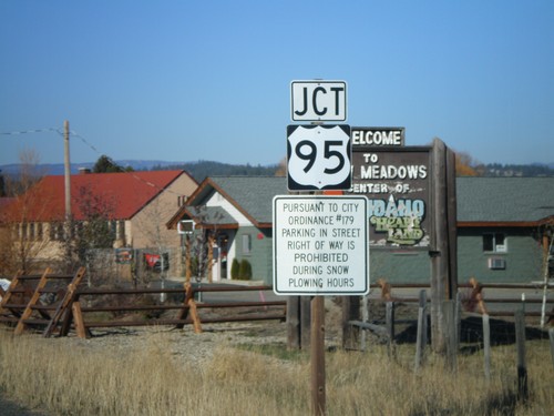
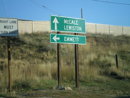
End ID-55 North at US-95
End ID-55 north at US-95. US-95 between New Meadows and Grangeville is the only highway connecting north and south Idaho.
