Javascript Is Required To Use This Page

Signs From May 2008

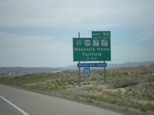
I-84 West Approaching Exit 95

I-84 West Approaching Exit 95

I-84 west approaching Exit 95 - BL-84/US-20/To ID-51/To ID-67/Mountain Home/Fairfield.
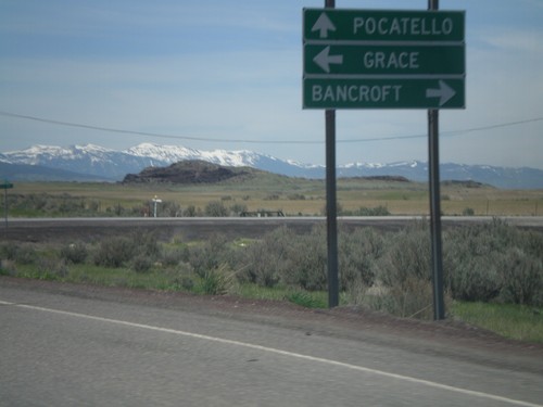
US-30 West/ID-34 South At ID-34

US-30 West/ID-34 South At ID-34

US-30 West/ID-34 South at ID-34. Turn left for ID-34 south to Grace; turn right on county road to Bancroft. Continue straight ahead for US-30 west to Pocatello.
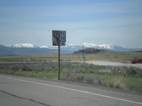
US-30 East/ID-34 South Approaching ID-34

US-30 East/ID-34 South Approaching ID-34

US-30 East/ID-34 South approaching US-30/ID-34 split in Bannock County.
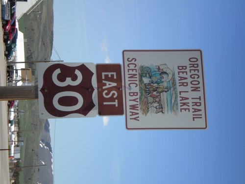
US-30 East - Oregon Trail Bear Lake Scenic Byway

US-30 East - Oregon Trail Bear Lake Scenic Byway

US-30 East in Soda Springs - Oregon Trail - Bear Lake Scenic Byway.
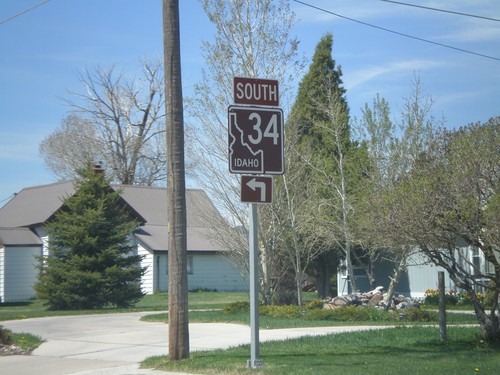
ID-34 South - Soda Springs

ID-34 South - Soda Springs

ID-34 south (East Hooper Ave.) at North 3rd St. Turn left to continue south on ID-34.
ID-34 South - Pioneer Historic Byway

ID-34 South - Pioneer Historic Byway

ID-34 south in Caribou County - Pioneer Historic Byway.

Stateline Road North at ID-34

Stateline Road North at ID-34

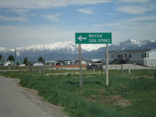
Stateline Road north at ID-34 south to Wayan and Soda Springs. The right side of the road is in Wyoming, the left side in Idaho.
End WY-239 at Stateline Road - To ID-34

End WY-239 at Stateline Road - To ID-34

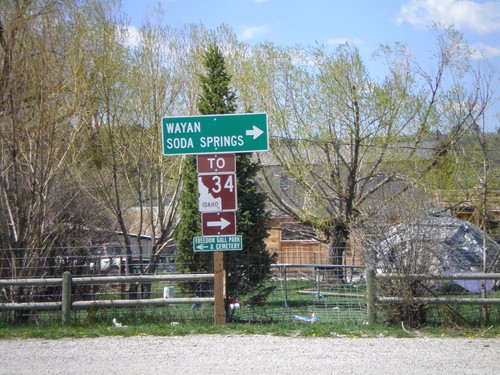
End WY-239 at Stateline Road. Turn right on Stateline Road to ID-34, Wayan, and Soda Springs.
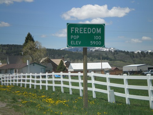
WY-239 East - Freedom

WY-239 East - Freedom

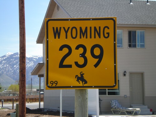
WY-239 east in Freedom. This is the only indication that the road crossed into Wyoming.
WY-239 West - Entering Freedom

WY-239 West - Entering Freedom

Entering Freedom on WY-239 west.

US-26 West/US-89 South Split - Alpine Jct

US-26 West/US-89 South Split - Alpine Jct

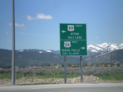
US-26 West/US-89 South at Alpine Junction. Use US-26 west for Idaho Falls (Idaho) and Port of Entry. Use US-89 south for Afton and Salt Lake (Utah).
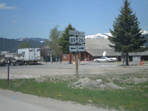
US-89 South/US-26 West at Alpine Junction

US-89 South/US-26 West at Alpine Junction

US-89 South/US-26 West at US-89/US-26 split in Alpine Junction
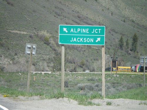
US-191/US-189 North at US-26/US-89

US-191/US-189 North at US-26/US-89

US-191/US-189 North at US-26/US-89. Use US-89/US-189/US-191 North/US-26 East to Jackson; use US-89 South/US-26 West to Alpine Junction.
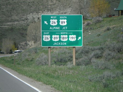
US-191/US-189 North Approaching US-26/US-89

US-191/US-189 North Approaching US-26/US-89

US-191/US-189 North approaching US-26/US-89 at Hoback Junction. Use US-26 East/US-89/US-189/US-191 North to Jackson. Use US-26 West/US-89 South for Alpine Junction.
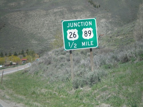
US-191/US-189 North approaching US-26/US-89

US-191/US-189 North approaching US-26/US-89

US-191/US-189 North approaching US-26/US-89 at Hoback Junction.
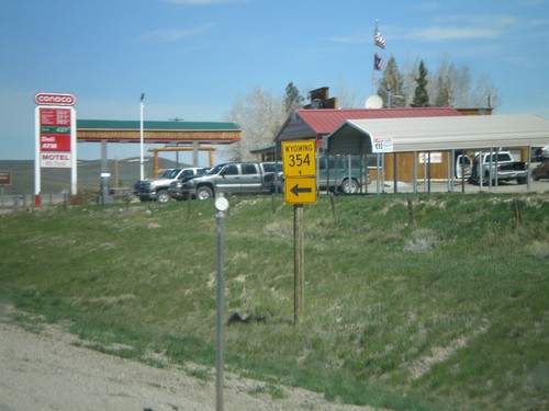
US-191/US-189 North at WY-354

US-191/US-189 North at WY-354

US-189/US-191 North at WY-354 west.

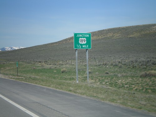
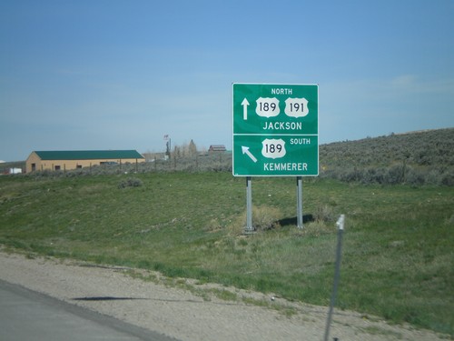
US-191 North At US-189 - Daniel Junction

US-191 North At US-189 - Daniel Junction

US-191 North/US-189 at Daniel Junction. Turn left for US-189 south to Kemmerer. Continue straight for US-189/US-191 North to Jackson. US-189 joins US-191 north to Jackson.
US-191 North Approaching US-189

US-191 North Approaching US-189

US-191 north approaching US-189 at Daniel Junction.

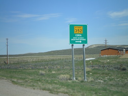
US-189/US-191 North At WY-352

US-189/US-191 North At WY-352

US-189/US-191 North at WY-352 east to Cora and Bridger Wilderness - Green River Entrance.
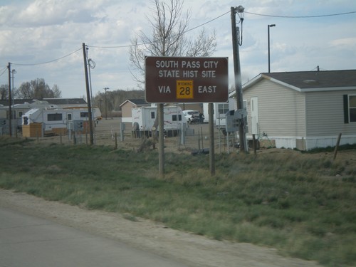
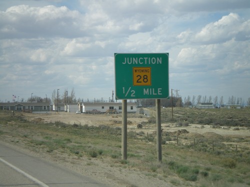
US-191 North Approaching WY-28

US-191 North Approaching WY-28

US-191 north approaching WY-28 in Farson. Use WY-28 east for South Pass City State Historic Site.
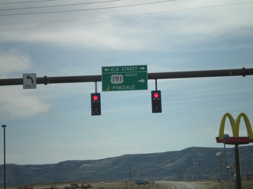
US-191 North Approaching WY-28

US-191 North Approaching WY-28

US-191 North approaching WY-28 in Farson.

I-80 West - Exit 104 Offramp

I-80 West - Exit 104 Offramp

I-80 west Exit 104 offramp at US-191 (Elk St.). Turn right for US-191 north to Pinedale.
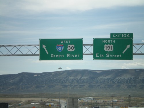
I-80 West - Exit 104

I-80 West - Exit 104

I-80 west at Exit 104 - US-191 North/Elk St. Continue straight for I-80/US-30 West (and US-191 South) to Green River.
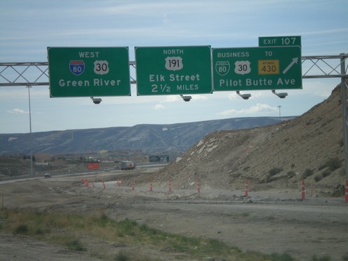
I-80 West Approaching Exit 104

I-80 West Approaching Exit 104

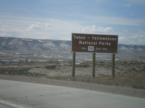
I-80 west - Use US-191 North for Teton - Yellowstone National Parks.

I-80 West - Exit 107 and Exit 104

I-80 West - Exit 107 and Exit 104

I-80 west at Exit 107 - BL-80/Bus. US-30/To WY-430/Pilot Butte Ave. Approaching Exit 104 - US-191 North/Elk St. I-80/US-30 continue west to Green River.
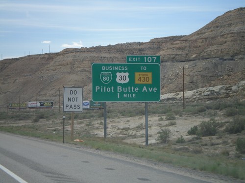
I-80 West Approaching Exit 107

I-80 West Approaching Exit 107

I-80/US-30 west approaching Exit 107 - BL-80/Bus. US-30/To WY-430/PIlot Butte Ave.
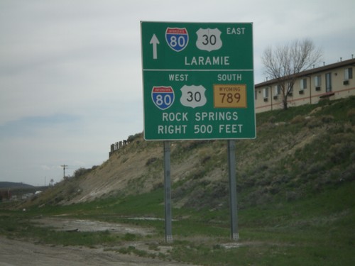
I-80 West - Exit 111

I-80 West - Exit 111

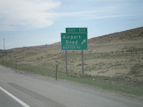
I-80 west at Exit 111 - Airport Road/Baxter Road.

I-80 West Approaching Exit 111

I-80 West Approaching Exit 111

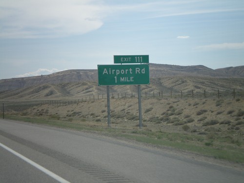
I-80 west approaching Exit 111 - Airport Road.

I-80 West - Exit 122

I-80 West - Exit 122

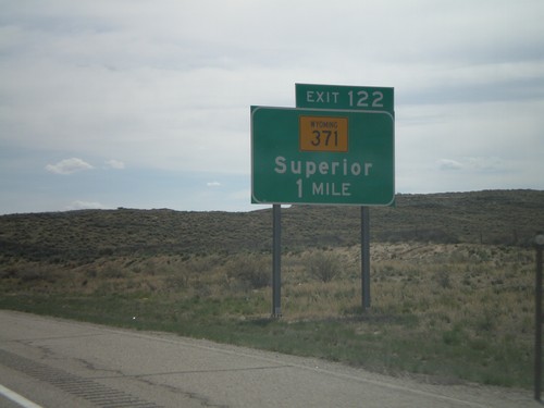
I-80 west approaching Exit 122 - WY-371/Superior.

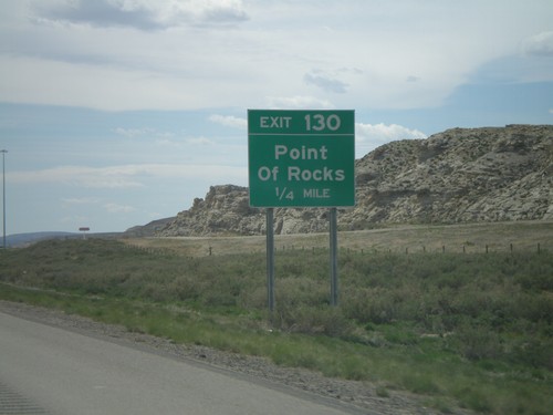
I-80 West - Exit 130

I-80 West - Exit 130

I-80 west at Exit 130 - Point of Rocks.

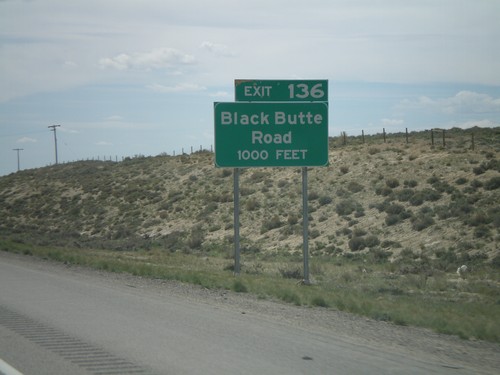
I-80 West - Exit 136

I-80 West - Exit 136

I-80 west at Exit 136 - Black Butte Road.

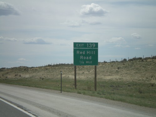
I-80 West - Exit 139

I-80 West - Exit 139

I-80 west at Exit 139 - Red Hill Road.

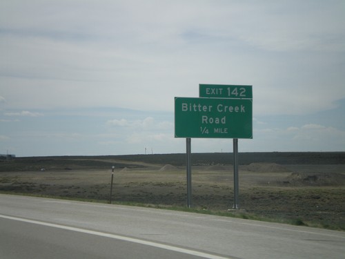
I-80 West - Exit 142

I-80 West - Exit 142

I-80 west at Exit 142 - Bitter Creek Road.

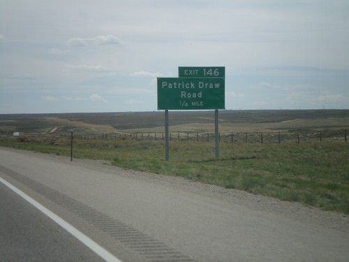
I-80 West - Exit 146

I-80 West - Exit 146

I-80 west at Exit 146 - Patrick Draw Road.

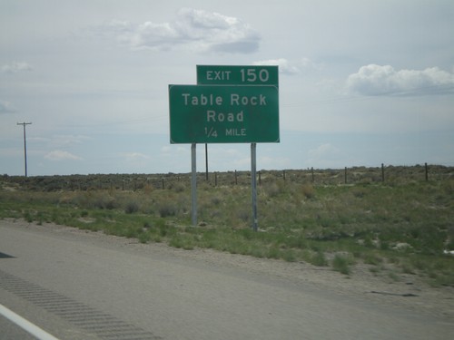
I-80 West - Exit 150

I-80 West - Exit 150

I-80 west approaching Exit 150 - Table Rock Road.

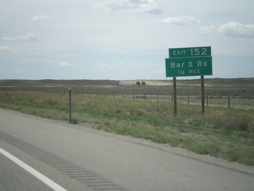
I-80 West - Exit 152

I-80 West - Exit 152

I-80 west at Exit 152 - Bar X Road.

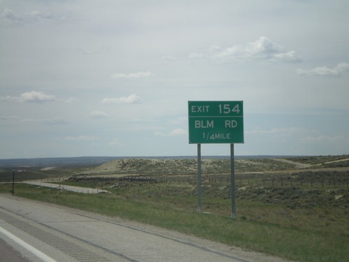
I-80 West - Exit 154

I-80 West - Exit 154

I-80 west at Exit 154 - BLM Road.

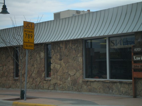
BL-80/BL-80/WY-789 South Approaching I-80

BL-80/BL-80/WY-789 South Approaching I-80

BL-80/BL-30/WY-789 South approaching I-80. Turn right for I-80/US-30/WY-789 towards Rock Springs. Continue ahead for I-80/US-30 East to Laramie.
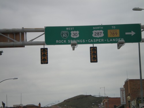
BL-80/BL-30 West/US-287 North - Rawlins

BL-80/BL-30 West/US-287 North - Rawlins

BL-80/US-30/US-287/To WY-789 to Rock Springs, Casper, and Lander.
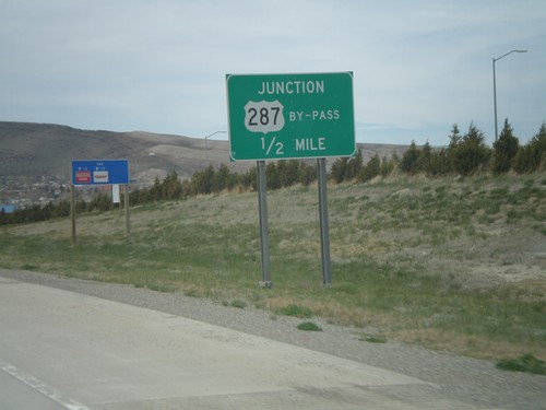
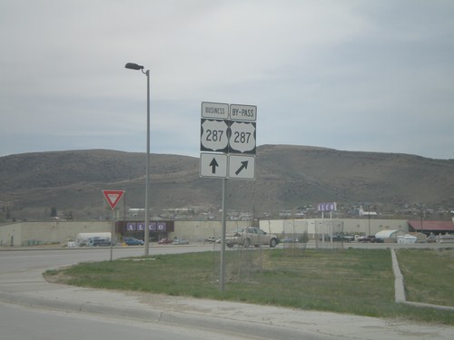
BL-80 West/US-287 North at US-287 By-Pass

BL-80 West/US-287 North at US-287 By-Pass

BL-80 West/US-287 North at US-287 North Bypass.

BL-80 West/US-287 North at US-287 Bypass

BL-80 West/US-287 North at US-287 Bypass

BL-80 West/US-287 North approaching US-287 North Bypass.

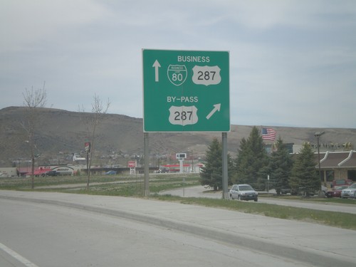
BL-80 West/US-287 North Approaching US-287 By-Pass

BL-80 West/US-287 North Approaching US-287 By-Pass

BL-80 West/US-287 North approaching US-287 North Bypass. US-287 Bypass avoids downtown Rawlins.
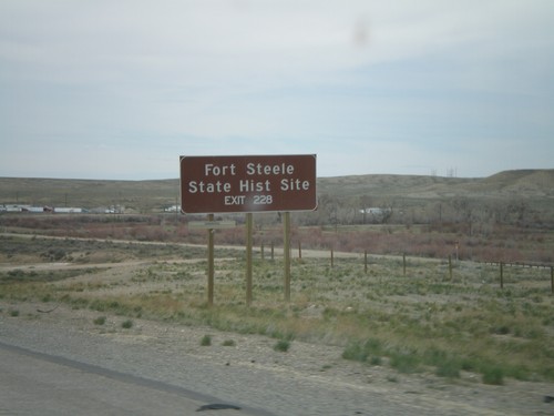
I-80 West - Exit 228

I-80 West - Exit 228

I-80 west approaching Exit 228 - Fort Steele. Use Exit 228 for Fort Steele State Historic Site.
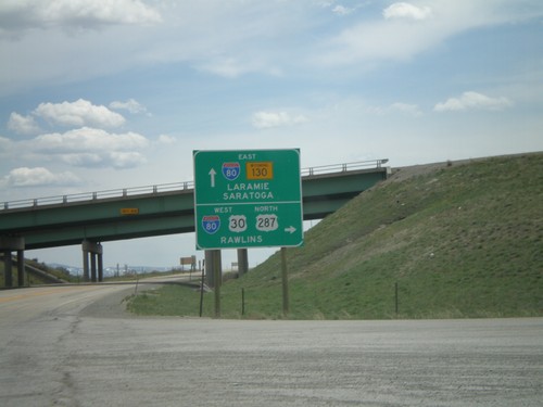
US-30 West/US-287 North at I-80

US-30 West/US-287 North at I-80

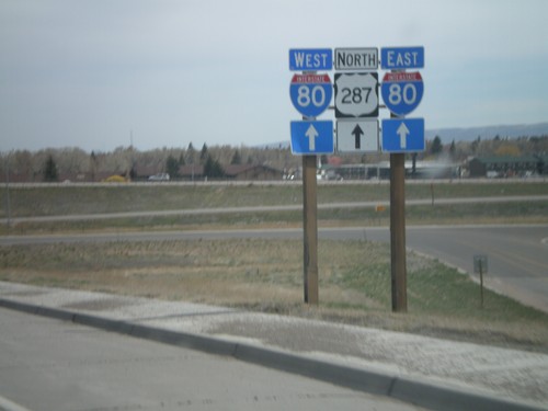
US-30 West/US-287 North at I-80/WY-130. Use I-80 east to Laramie; WY-130 south to Saratoga; I-80/US-30 West/US-287 North to Rawlins.
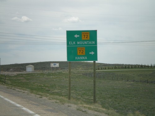
US-30 West/US-287 North At WY-72

US-30 West/US-287 North At WY-72

US-30 West/US-287 North At WY-72 North to Hanna; south to Elk Mountain.
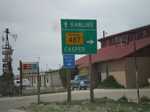
US-30 West/US-287 North at WY-487

US-30 West/US-287 North at WY-487

US-30 West/US-287 North at WY-487 north to Casper. Continue on US-30 West/US-287 North for Rawlins.
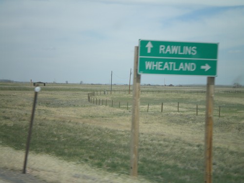
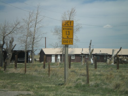
US-30 West/US-287 North approaching WY-13

US-30 West/US-287 North approaching WY-13

US-30 West/US-287 North approaching WY-13 in Rock River.

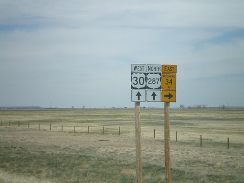
US-30 West/US-287 North At WY-34

US-30 West/US-287 North At WY-34

US-30 West/US-287 North at WY-34 north to Wheatland. Continue on US-30 West/US-287 North to Rawlins.
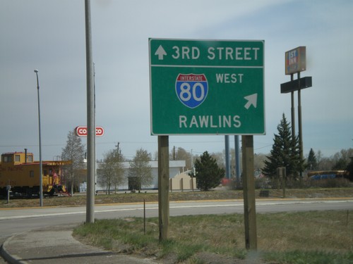
US-30 West/US-287 North Approaching WY-34

US-30 West/US-287 North Approaching WY-34

US-30 West/US-287 North at WY-34 North in Albany County.

US-287 North at I-80 West

US-287 North at I-80 West

US-287 north at I-80 west to Rawlins. Continue straight for US-287 North/3rd St.
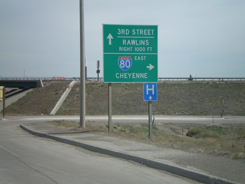
US-287 North At I-80 East

US-287 North At I-80 East

US-287 north at I-80 East to Cheyenne. I-80 West to Rawlins, next right. Continue straight for US-287 North/3rd St.
US-287 North at I-80

US-287 North at I-80

US-287 north approaching I-80.

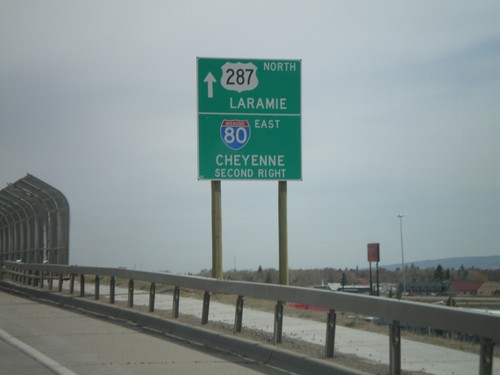
US-287 North Approaching I-80

US-287 North Approaching I-80

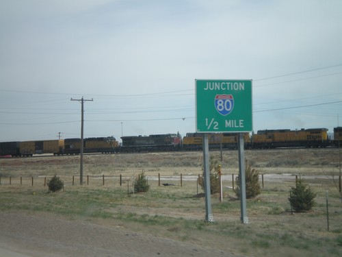
US-287 North approaching I-80. Continue straight on US-287 for downtown Laramie. Take the second right for I-80 East to Cheyenne.
US-287 North Approaching I-80

US-287 North Approaching I-80

US-287 north approaching I-80.

US-287 North - Entering Laramie

US-287 North - Entering Laramie

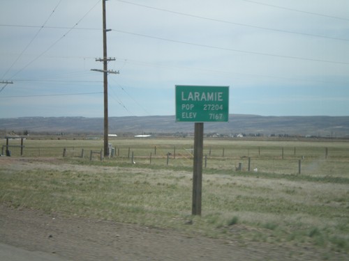
Entering Laramie on US-287 north. Pop: 27,204 - Elev - 7,167.

US-287 North at CO-14 West

US-287 North at CO-14 West

US-287 north at CO-14 west.

US-287 North Approaching CO-14 West

US-287 North Approaching CO-14 West

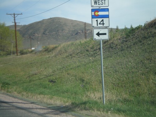
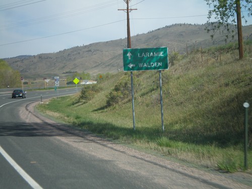
US-287 north approaching CO-14 west to Walden.

US-287 North at Laporte Jct.

US-287 North at Laporte Jct.

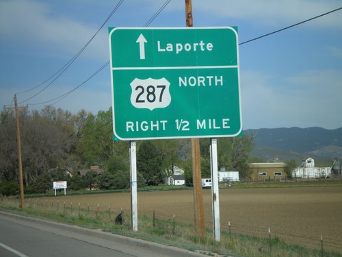
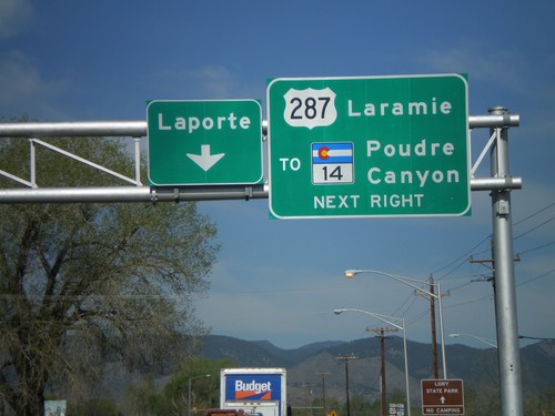
US-287 approaching Laporte junction. Continue straight for Laporte. Turn right for US-287/To CO-14 to Laramie and Poudre Canyon.
US-287 North Approaching Laporte Jct.

US-287 North Approaching Laporte Jct.

US-287 north approaching Laporte junction.

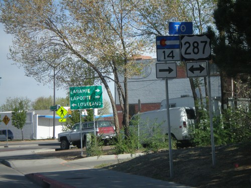
US-287 North/To CO-14 West

US-287 North/To CO-14 West

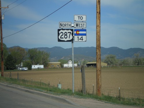
US-287 North/To CO-14 west north of Fort Collins.

CO-14 West at US-287

CO-14 West at US-287

CO-14 west at US-287 in Fort Collins. Use US-287 north for Laramie (WY) and Laporte, and US-287 south for Loveland.
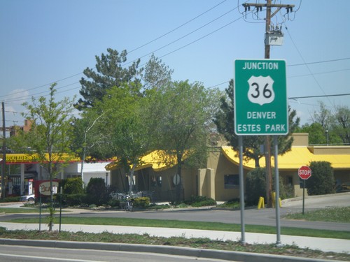
CO-14 West/To US-287 North

CO-14 West/To US-287 North

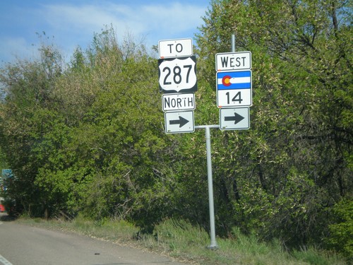
CO-14 west to US-287 at the corner of E. Mulberry St. and Riverside Ave.

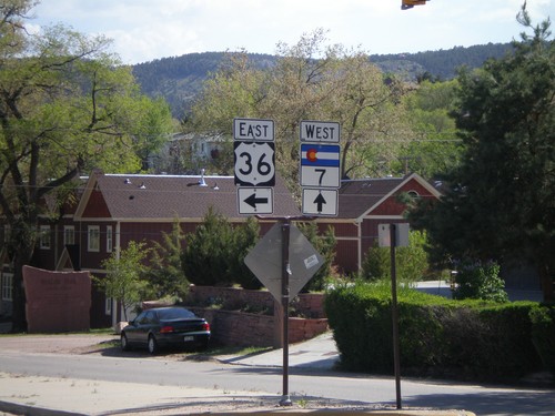
US-36 East at CO-7 West

US-36 East at CO-7 West

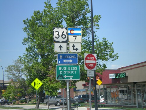
US-36 east at CO-7 west

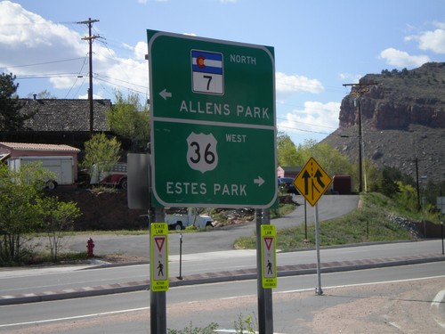
US-36 West at CO-7 North

US-36 West at CO-7 North

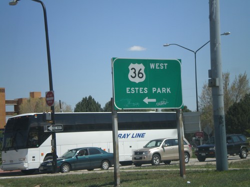
US-36 west to Estes Park at CO-7 north to Allens Park.

US-36 East/CO-7 South - Lyons

US-36 East/CO-7 South - Lyons

US-36/CO-7 on Main St.

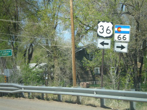
US-36 West at CO-66

US-36 West at CO-66

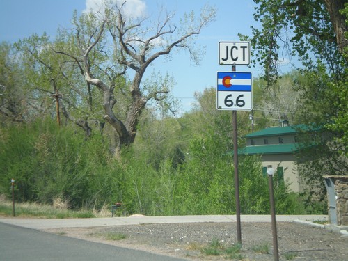
US-36 west at CO-66 east.

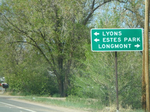
US-36 West at CO-66

US-36 West at CO-66

US-36 west approaching CO-66 east to Longmont.

US-36 West Approaching CO-66

US-36 West Approaching CO-66

US-36 west approaching CO-66.

US-36 West at CO-119 West

US-36 West at CO-119 West

US-36 west at CO-119 west. CO-119 east joins US-36 through Boulder.

US-36 West Approaching CO-119 West

US-36 West Approaching CO-119 West

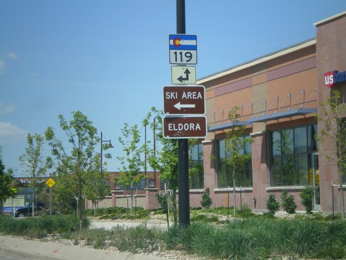
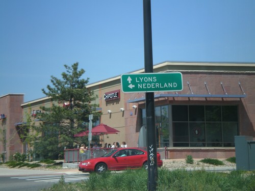
US-36 west approaching CO-119 west to Nederland.

US-36 West at CO-7

US-36 West at CO-7

US-36 west at CO-7.

US-36 West Approaching CO-7

US-36 West Approaching CO-7

US-36 west approaching CO-7 to Lafayette.

Baseline Road East at US-36

Baseline Road East at US-36

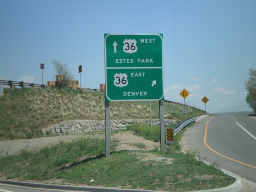
Baseline Road east at US-36 west towards Estes Park.

Baseline Road East at US-36

Baseline Road East at US-36

Baseline Road east at US-36 east to Denver.

Baseline Road East Approaching US-36

Baseline Road East Approaching US-36

Baseline Road east approaching US-36 towards Denver and Estes Park.
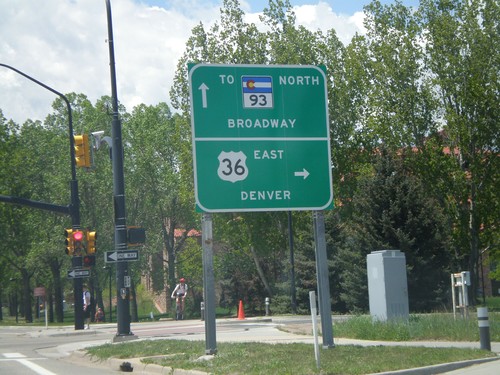
Baseline Road East Approaching US-36

Baseline Road East Approaching US-36

Baseline Road east approaching US-36.

Baseline Road West at US-36 East

Baseline Road West at US-36 East

Baseline Road west at US-36 east to Denver and approaching CO-93 North/Broadway.
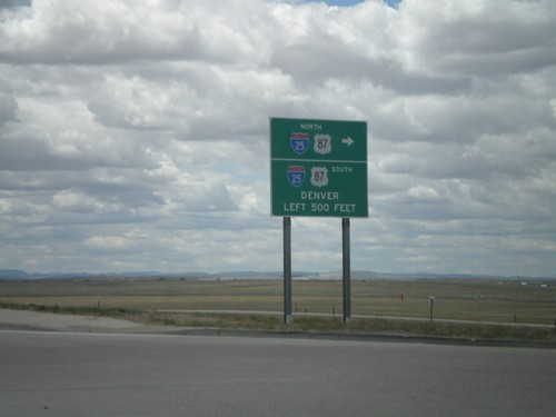
Baseline Road West Approaching US-36

Baseline Road West Approaching US-36

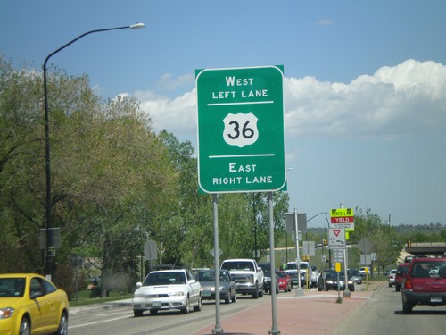
Baseline Road west approaching US-36 to Denver and Estes Park.

CO-157 South at CO-7

CO-157 South at CO-7

CO-157 south at CO-7.

CO-119 West at CO-157

CO-119 West at CO-157

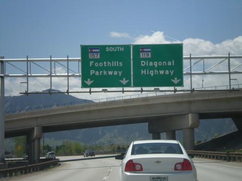
CO-119 west (Diagonal Highway) at CO-157 (Foothills Parkway).

End WY-212/BL-25 at I-25/US-87

End WY-212/BL-25 at I-25/US-87

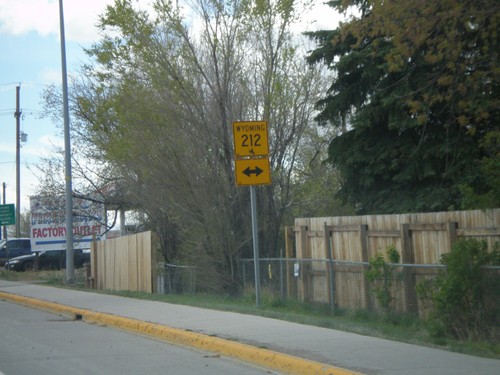
End WY-212 west at I-25/US-87. This is the southern end of the Cheyenne business loop.
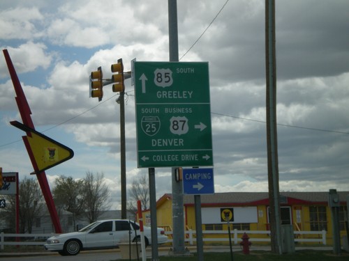
US-85 South at BL-25/BL-87 (WY-212)

US-85 South at BL-25/BL-87 (WY-212)

US-85/BL-25/BL-87 south at WY-212/BL-25/BL-87 west to Denver (via I-25). Continue on US-85 south for Greeley (CO).
US-85 South Approaching WY-212

US-85 South Approaching WY-212

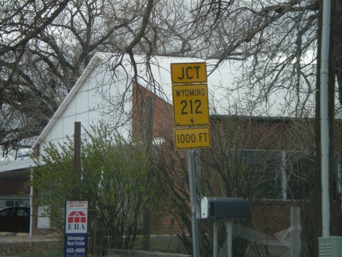
US-85 south approaching WY-212. BL-25 follows WY-212 west to I-25.

US-85 South Approaching WY-212

US-85 South Approaching WY-212

US-85 south approaching WY-212 (College Drive).

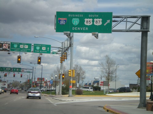
I-180/US-85/BL-25 South at I-80

I-180/US-85/BL-25 South at I-80

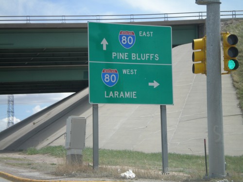
End I-180 South at I-80 To Pine Bluffs and Laramie. US-85/BL-25 continue south along Central Ave.
I-180/US-85/BL-25 South Approaching I-80

I-180/US-85/BL-25 South Approaching I-80

I-180 south approaching I-80 west to Laramie.

BL-80/US-30 East at I-180 South

BL-80/US-30 East at I-180 South

BL-80/US-30 East at I-180/BL-25/US-85/US-87 South to Denver.

I-25 South - Exit 9 (US-30 Jct)

I-25 South - Exit 9 (US-30 Jct)

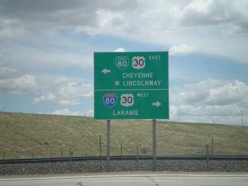
I-25 Exit 9 offramp at BL-80/US-30. Turn right for BL-80/US-30 for I-80 West/Laramie. Turn left on BL-80/US-30 East to Cheyenne/West Lincolnway.
I-25 South - Exits 9, 8B, and 8D

I-25 South - Exits 9, 8B, and 8D

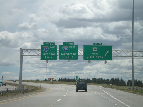
I-25 south at Exit 9 - US-30/West Lincolnway. Approaching Exit 8B - I-80 West/Laramie, and Exit 8D - I-80 East/Omaha.
I-25 South - Exits 10B and 10D

I-25 South - Exits 10B and 10D

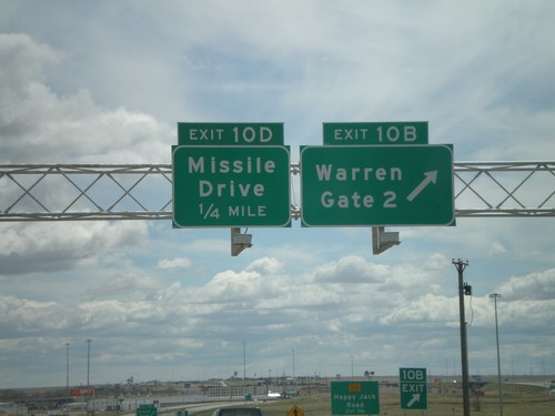
I-25 south at Exit 10B - Warren Gate 2. Approaching Exit 10D - Missile Drive. Warren refers to F.E. Warren Air Force Base.
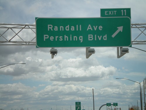
I-25 South - Exit 11

I-25 South - Exit 11

I-25 south at Exit 11 - Randall Ave./Pershing Blvd.

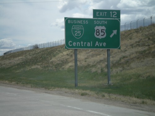
I-25 South - Exit 12

I-25 South - Exit 12

I-25 south at Exit 12 - BL-25/US-85 South/Central Ave.

I-25 South - Exit 13

I-25 South - Exit 13

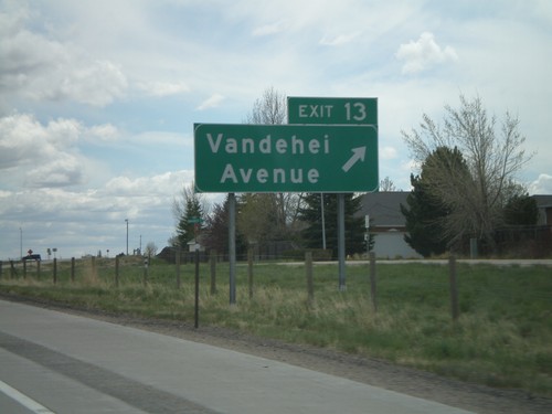
I-25 south at Exit 13 - Vandehei Ave.

I-25 South - Exit 16

I-25 South - Exit 16

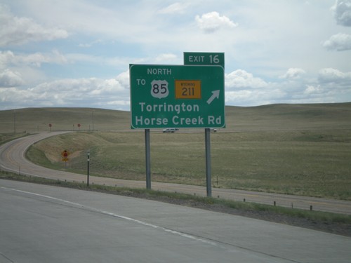
I-25 south at Exit 16 - To US-85 North/WY-211/Torrington/Horse Creek Road. US-85 north traffic exit here, and get on I-25 north.
I-25 South - Exit 16

I-25 South - Exit 16

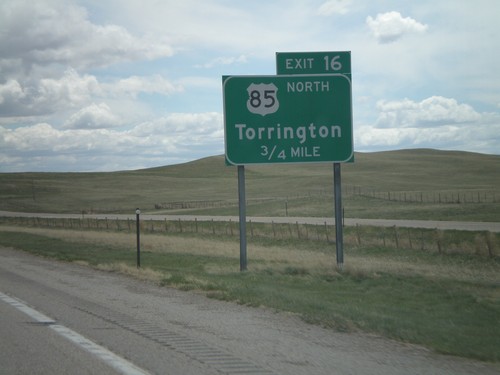
I-25 south approaching Exit 16 - US-85 North/Torrington. There is no direct connection from I-25 south to US-85 north (Exit 17). All US-85 north traffic must use Exit 16, then go north on I-25 to Exit 17.
I-25 South - Exit 21

I-25 South - Exit 21

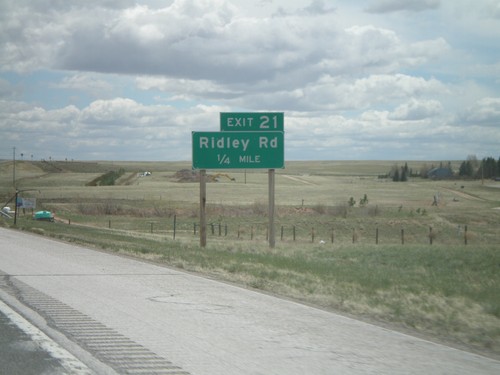
I-25 south approaching Exit 21 - Ridley Road.

I-25 South - Exit 25

I-25 South - Exit 25

I-25 south approaching Exit 25. No other name was given for this exit, in either direction.
I-25 South - Exit 29

I-25 South - Exit 29

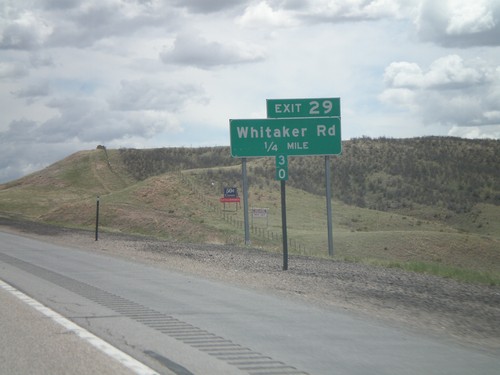
I-25 south approaching Exit 29 - Whitaker Road.

I-25 South - Exit 34

I-25 South - Exit 34

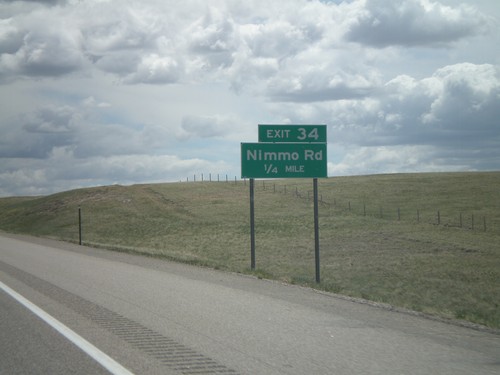
I-25 south approaching Exit 34 - Nimmo Road.

I-25 South - Exit 39

I-25 South - Exit 39

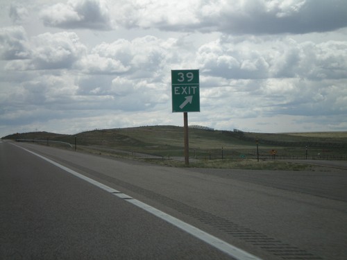
I-25 south at Exit 39 - Little Bear Community. The advance sign for Exit 39 was knocked down, so I got a picture of the gore sign.
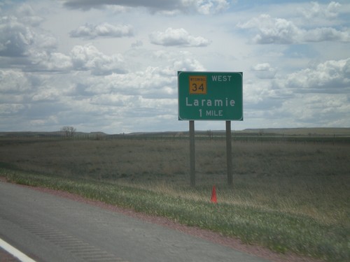
I-25 South - Exit 47

I-25 South - Exit 47

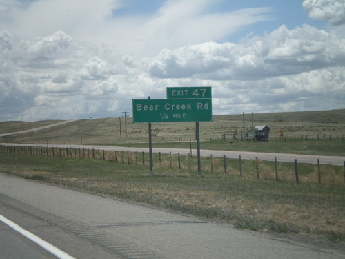
I-25 south approaching Exit 47 - Bear Creek Road.

I-25 South - Exit 54

I-25 South - Exit 54

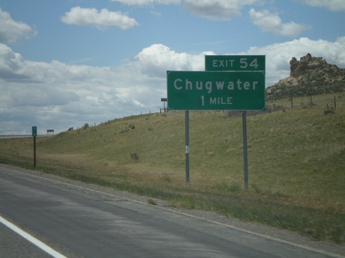
I-25 south approaching Exit 54 - Chugwater.

I-25 South - Exit 57

I-25 South - Exit 57

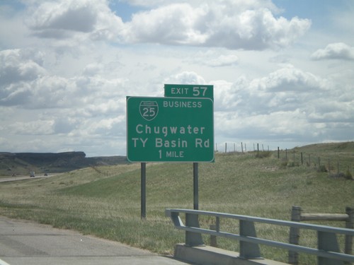
I-25 south approaching Exit 57 - BL-25/Chugwater/TY Basin Road.

I-25 South - Exit 65

I-25 South - Exit 65

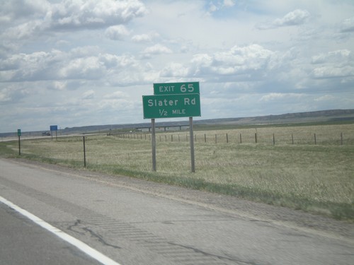
I-25 south approaching Exit 65 - Slater Road.

I-25 South - Exit 66

I-25 South - Exit 66

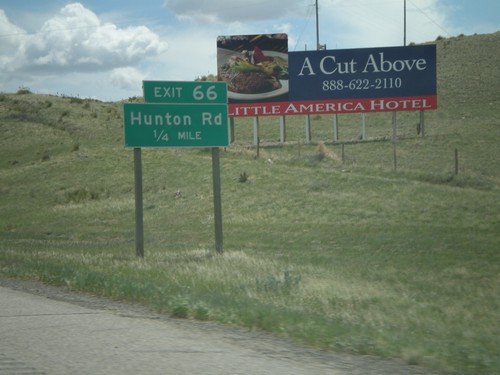
I-25 south approaching Exit 66 - Hunton Road.

I-25 South - Exit 68

I-25 South - Exit 68

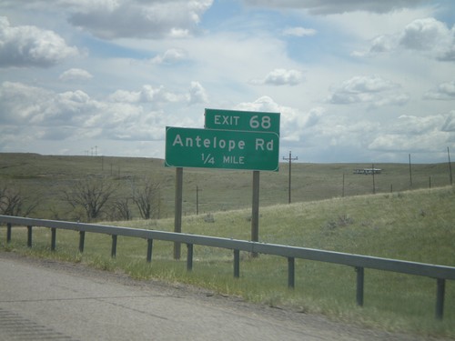
I-25 south approaching Exit 68 - Antelope Road.

I-25 South - Exit 70

I-25 South - Exit 70

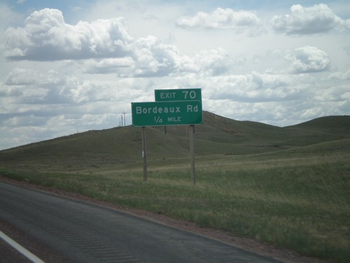
I-25 south approaching Exit 70 - Bordeaux Road.

I-25 South - Exit 73

I-25 South - Exit 73

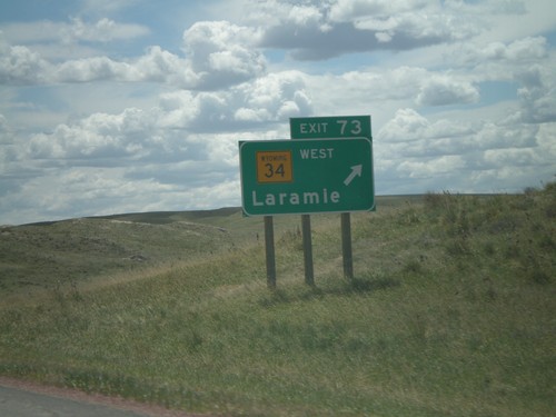
I-25 south at Exit 73 - WY-34 West/Laramie.

I-25 South Approaching Exit 73

I-25 South Approaching Exit 73

I-25 south approaching Exit 73 - WY-34 West/Laramie. The exit tab is not present on this sign.
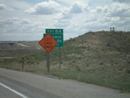
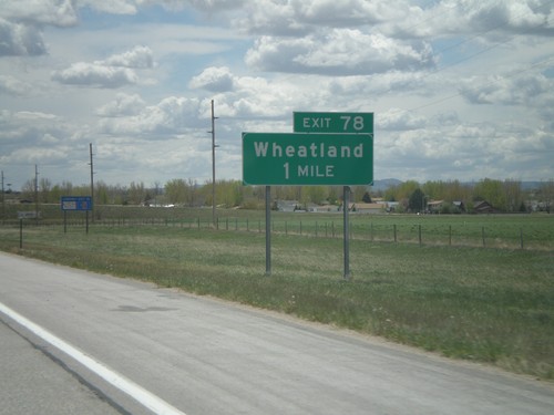
I-25 South - Exit 78

I-25 South - Exit 78

I-25 south approaching Exit 78 - Wheatland.

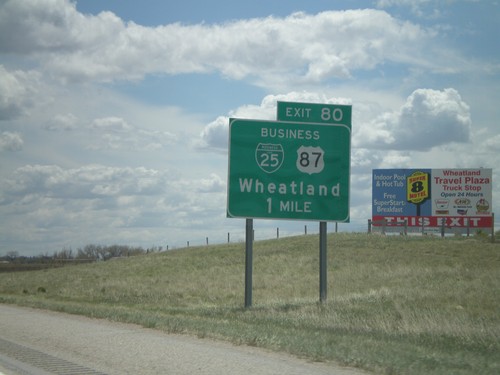
I-25 South - Exit 80

I-25 South - Exit 80

I-25 south approaching Exit 80 - BL-25/BL-87/Wheatland.

I-25 South - Exit 84

I-25 South - Exit 84

I-25 south approaching Exit 84 - Laramie River Road. The sign is partially obscured by a road construction sign. There was bridge work on the Laramie River bridge, just south of here.
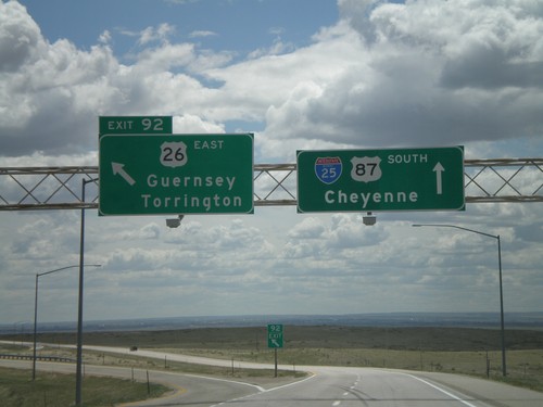
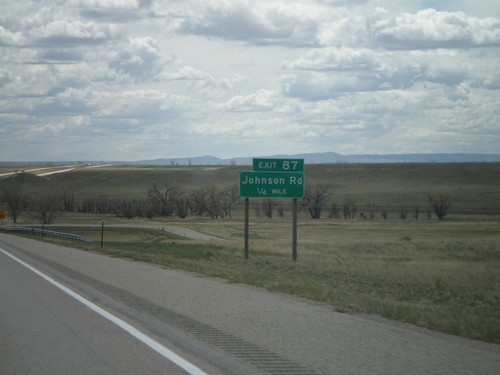
I-25 South - Exit 87

I-25 South - Exit 87

I-25 south approaching Exit 87 - Johnson Road.

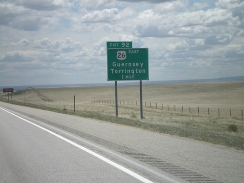
I-25 South - Exit 92

I-25 South - Exit 92

I-25 south at Exit 92 - US-26 East/Guernsey/Torrington. US-26 east leaves I-25 here, and follows the North Platte River into Nebraska.
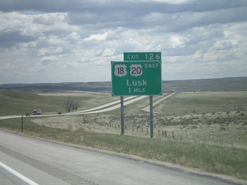
I-25 South - Exit 92

I-25 South - Exit 92

I-25 south approaching Exit 92 - US-26 East/Guernsey/Torrington.

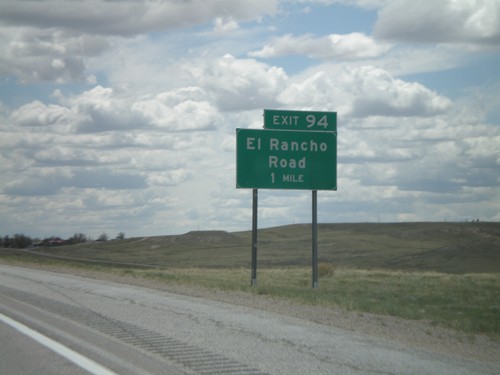
I-25 South - Exit 94

I-25 South - Exit 94

I-25 south approaching Exit 94 - El Rancho Road.

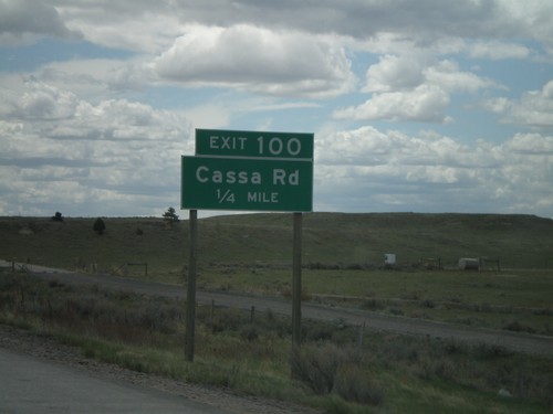
I-25 South - Exit 100

I-25 South - Exit 100

I-25 south approaching Exit 100 - Cassa Road.

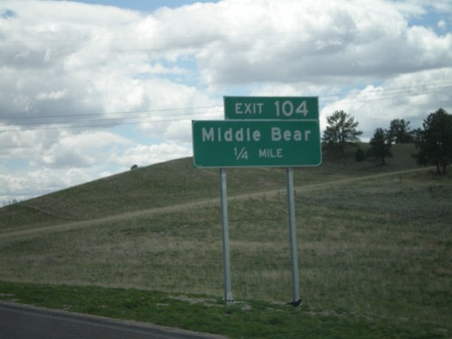
I-25 South - Exit 104

I-25 South - Exit 104

I-25 south approaching Exit 104 - Middle Bear

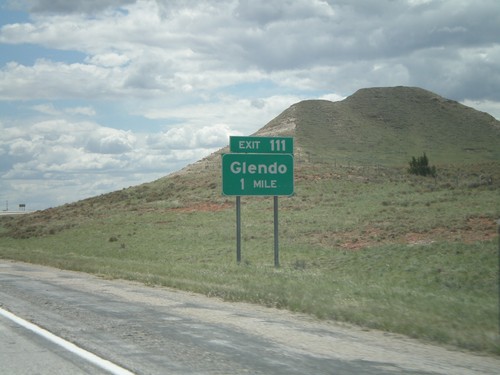
I-25 South - Exit 111

I-25 South - Exit 111

I-25 south approaching Exit 111 - Glendo.

I-25 South - Exit 126

I-25 South - Exit 126

I-25 south approaching Exit 126 - US-20/US-18/Lusk. This is the beginning of US-18. US-20 leaves I-25 here and heads east into Nebraska.
I-25 South - Exit 135

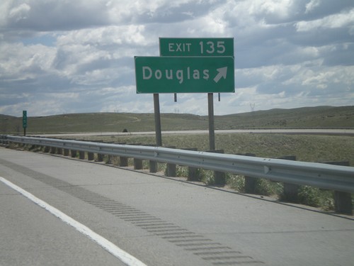
I-25 South - Exit 135

I-25 south at Exit 135 - Douglas.

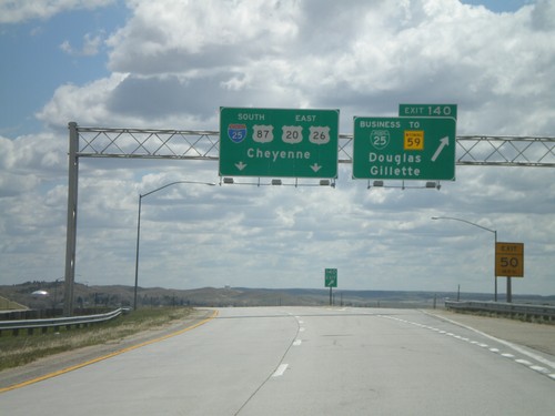
I-25 South - Exit 140

I-25 South - Exit 140

I-25 south at Exit 140 - BL-25/To WY-59/Douglas/Gillette. Overhead for I-25/US-20/US-26/US-87 to Cheyenne.
I-25 South - Exit 140

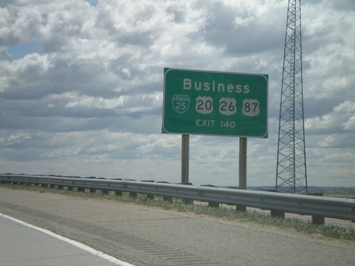
I-25 South - Exit 140

I-25 south approaching Exit 140. Use Exit 140 for BL-25/BL-20/BL-26/BL-87.

I-25 South - Exit 140

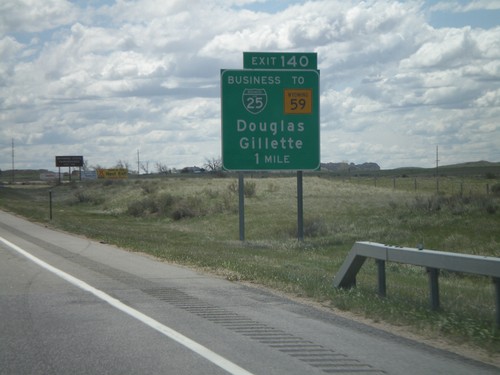
I-25 South - Exit 140

I-25 south approaching Exit 140 - BL-25/To WY-59/Douglas/Gillette.

I-25 South - Exit 146

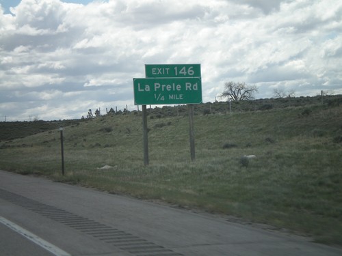
I-25 South - Exit 146

I-25 south approaching Exit 146 - La Prele Road.

I-25 South - Exit 150

I-25 South - Exit 150

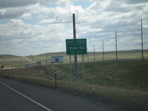
I-25 south approaching Exit 150 - Inez Road.

I-25 South - Exit 151

I-25 South - Exit 151

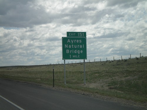
I-25 south approaching Exit 151 - Ayers Natural Bridge. This leads south to a natural bridge on LaPrele Creek.
I-25 South - Exit 154

I-25 South - Exit 154

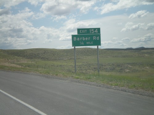
I-25 south approaching Exit 154 - Barber Road.

I-25 South - Exit 156

I-25 South - Exit 156

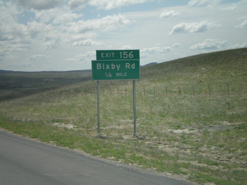
I-25 south approaching Exit 156 - Bixby Road.

I-25 South - Exit 160

I-25 South - Exit 160

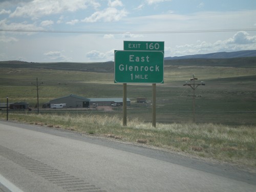
I-25 south approaching Exit 160 - East Glenrock. This is the eastern end of the Glenrock business loop. US-20/US-26/US-87 rejoin I-25 south here. They leave I-25 here northbound to Casper.
I-25 South - Exit 165

I-25 South - Exit 165

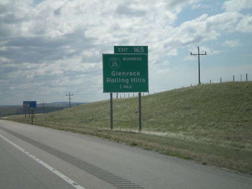
I-25 south approaching Exit 165 - BL-25/Glenrock/Rolling Hills. This is the western end of the Glenrock business loop.
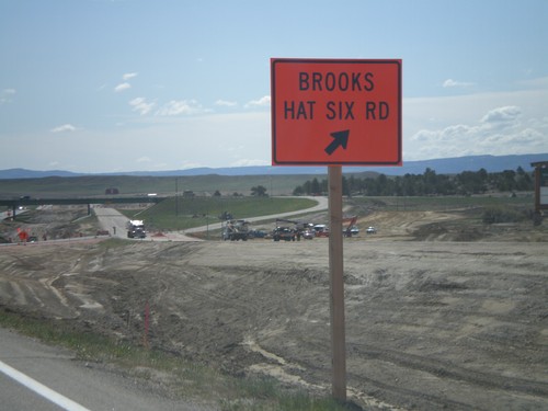
I-25 South - Exit 182

I-25 South - Exit 182

I-25 south at Exit 182 - Brooks/Hat Six Road. This is a temporary exit sign. When this was taken the southbound lanes were being reconstructed, and all traffic was on the northbound lanes.
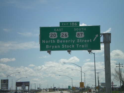
I-25 South - Exit 185

I-25 South - Exit 185

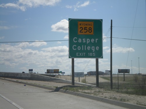
Use Exit 185 for WY-258/Casper College on I-25 south.

I-25 South - Exit 185

I-25 South - Exit 185

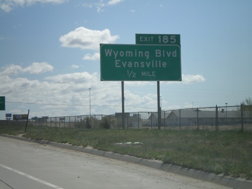
I-25 south approaching Exit 185 - Wyoming Blvd./Evansville.

I-25 South - Exit 186

I-25 South - Exit 186

I-25 south at Exit 186 - US-20 East/US-26 East/US-87 South/Beverly St./Bryan Stock Trail.
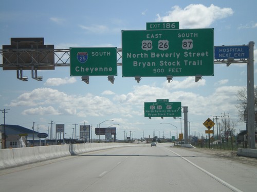
I-25 South - Exit 186

I-25 South - Exit 186

I-25 south approaching Exit 186 - US-26 East/US-20 East/US-87 South/Beverly St./Bryan Stock Trail.
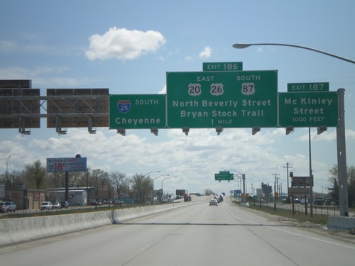
I-25 South - Exits 186 and 187

I-25 South - Exits 186 and 187

I-25 south approaching Exit 187 - McKinley St. Approaching Exit 186 - US-20 East/US-26 East/US-87 South/N. Beverly St./Bryan Stock Trail. I-25 south Cheyenne overhead.
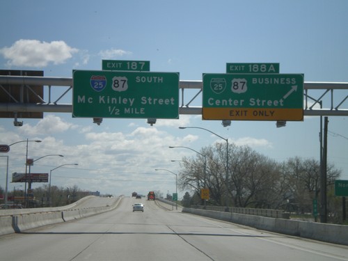
I-25 South - Exits 188A and 187

I-25 South - Exits 188A and 187

I-25 south at Exit 188A - BL-25/BL-87/Center St. Approaching Exit 187 - McKinley St. Exit 187 is signed as I-25 and US-87 south, but this is an error. Neither highway exit at McKinley St.
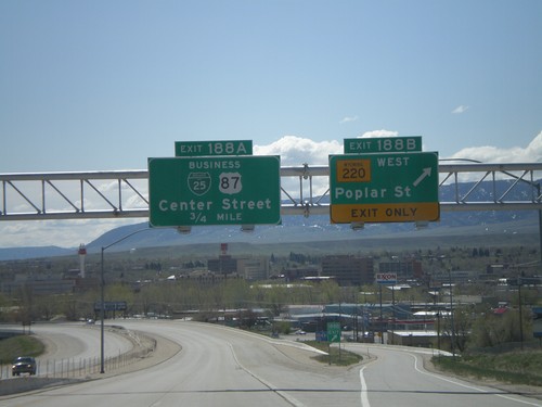
I-25 South - Exits 188B and 188A

I-25 South - Exits 188B and 188A

I-25 south at Exit 188B - WY-220 West/Poplar St. Approaching Exit 188A - BL-25/BL-87/Center St.
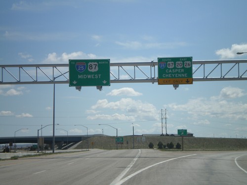
US-20/US-26 East At I-25/US-87

US-20/US-26 East At I-25/US-87

US-20/US-26 East at I-25/US-87. Use I-25 North/US-87 North to Midwest; turn right for I-25 South/US-87 South/US-20/US-26 East to Casper and Cheyenne. US-20/US-26 joins I-25 south through Casper.
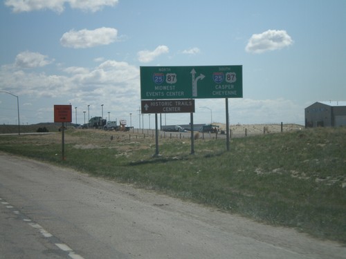
US-20/US-26 East Approaching I-25/US-87

US-20/US-26 East Approaching I-25/US-87

US-20/US-26 East approaching I-25/US-87. Use I-25/US-87 south for Casper and Cheyenne. Use I-25/US-87 north for Midwest. Continue straight for Events Center and Historic Trails Center.
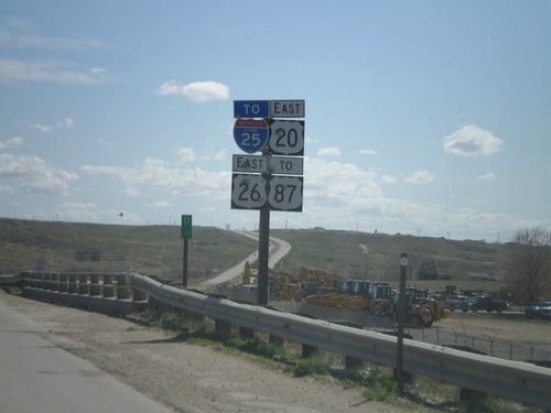
US-20/US-26 East to I-25 and US-87

US-20/US-26 East to I-25 and US-87

US-20/US-26 East to I-25 and US-87 on freeway connector between Yellowstone Highway and I-25.
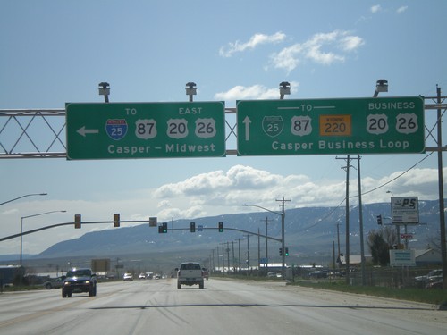
US-20/US-26 East At Bus. US-20/Bus. US-26

US-20/US-26 East At Bus. US-20/Bus. US-26

US-20/US-26 East at Casper freeway entrance. Turn left for US-20/US-26 East/To I-25/US-87 to Casper and Midwest. Continue straight for Bus. US-20/US-26 East/To BL-25/To US-87/To WY-220 - Casper Business Loop.
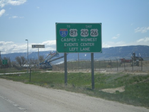
US-20/US-26 East Approaching Bus. US-20/Bus. US-26

US-20/US-26 East Approaching Bus. US-20/Bus. US-26

US-20/US-26 East approaching freeway spur to I-25. Turn left for US-20/US-26 East/To I-25/To US-87 to Casper/Midwest/Events Center.
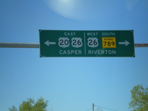
US-20 East/WY-789 South at US-26

US-20 East/WY-789 South at US-26

US-20 East/WY-789 south at WY-789. Turn left for US-20/US-26 east to Casper; right for US-26 West/WY-789 South to Riverton.
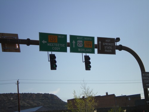
US-20 West/WY-789 North at WY-120

US-20 West/WY-789 North at WY-120

US-20 West/WY-789 North at WY-120 West to Meeteetse and Cody. Continue on US-20/WY-789 for Worland and Hot Springs State Park.
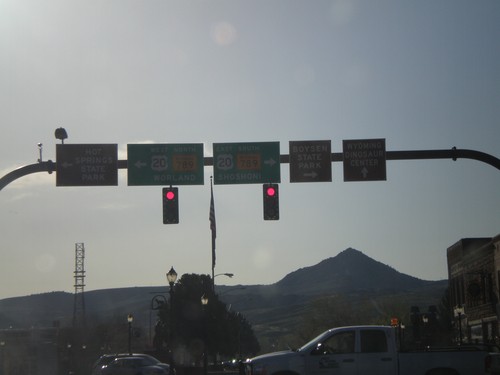
End WY-120 South at US-20/WY-789

End WY-120 South at US-20/WY-789

End WY-120 south at US-20/WY-789 north to Worland and south to Shoshoni.
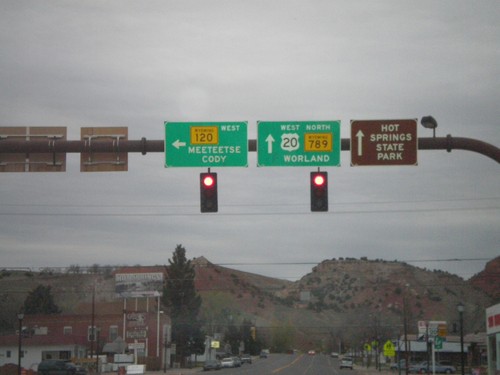
US-20 West/WY-789 North at WY-120

US-20 West/WY-789 North at WY-120

US-20 West/WY-789 North at WY-120 West to Meeteetse and Cody. Continue on US-20/WY-789 for Worland and Hot Springs State Park.
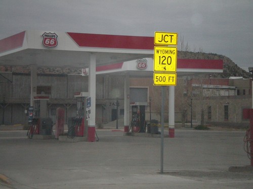
US-20 West/WY-789 North Approaching WY-120

US-20 West/WY-789 North Approaching WY-120

US-20 West/WY-789 North approaching WY-120 in Thermopolis.
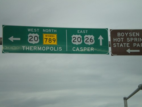
US-20 West/WY-789 North at WY-173

US-20 West/WY-789 North at WY-173

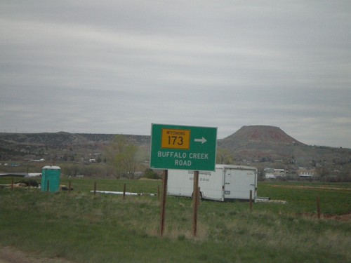
US-20 West/WY-789 North at WY-173/Buffalo Creek Road.

US-26 East/WY-789 North at US-20

US-26 East/WY-789 North at US-20

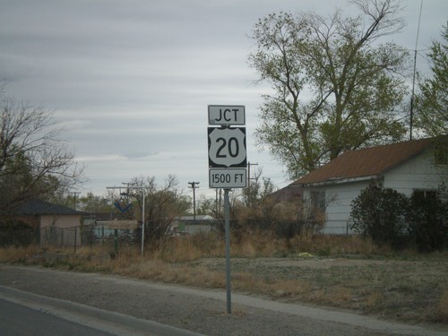
US-26 East/WY-789 North at US-20. Turn left for US-20 West/WY-789 North to Thermopolis. Continue straight for US-20/US-26 East to Casper.
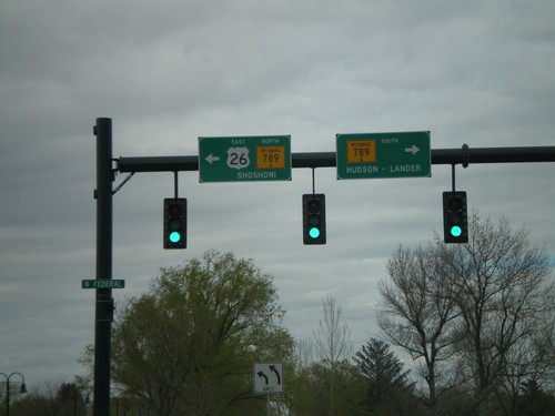
US-26 East/WY-789 North Approaching US-20

US-26 East/WY-789 North Approaching US-20

US-26 East/WY-789 North approaching US-20 in Shoshoni.

US-26 East/WY-789 North at WY-134

US-26 East/WY-789 North at WY-134

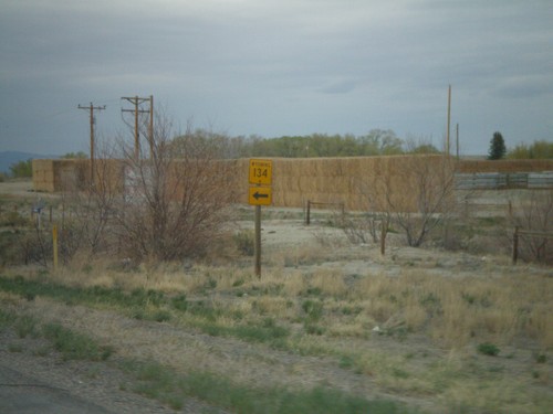
US-26 East/WY-789 North at WY-134 in Fremont County.

US-26 East at WY-789

US-26 East at WY-789

US-26 West at WY-789. Turn right for WY-789 to Hudson and Lander; left for US-26 East/WY-789 North to Shoshoni. WY-789 joins US-26 east to Shoshoni.
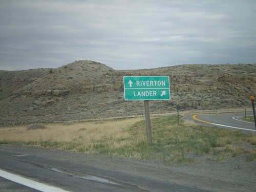
US-26 East Approaching WY-789

US-26 East Approaching WY-789

US-26 East approaching WY-789 in Riverton.

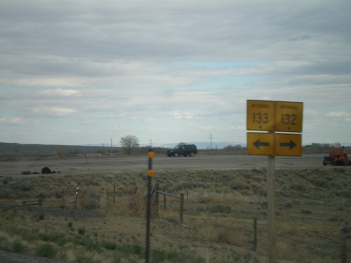
US-26 East at WY-133 and WY-132

US-26 East at WY-133 and WY-132

US-26 east at WY-133 and WY-132 in Fremont County.

US-26 East/US-287 South at Split

US-26 East/US-287 South at Split

US-26 East/US-287 South at US-26/US-287 split. Merge right for US-287 south to Lander; straight for US-26 east to Riverton.
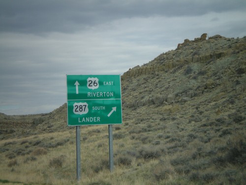
US-26 East/US-287 South Approaching Split

US-26 East/US-287 South Approaching Split

US-26 East/US-287 South approaching US-26/US-287 split. Merge right for US-287 South to Lander; continue straight for US-26 East to Riverton.
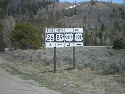
US-26 East and US-89/US-191 North at US-287 - Moran Jct.

US-26 East and US-89/US-191 North at US-287 - Moran Jct.

Moran Jct. in Grand Teton National Park - US-26 East and US-89/US-191 North at US-287.
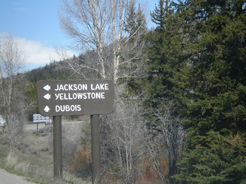
US-26 East and US-89/US-191 North approaching US-287 - Moran Jct.

US-26 East and US-89/US-191 North approaching US-287 - Moran Jct.

US-26 East and US-89/US-191 North at US-287 - Moran Jct. Turn left for US-89/US-191/US-287 North to Jackson Lake and Yellowstone. Continue straight for US-26 East/US-287 south to Dubois.
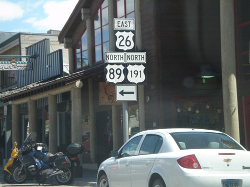
US-26 East/US-89 North/US-191 North - Jackson

US-26 East/US-89 North/US-191 North - Jackson

Broadway at Cache Drive in Jackson. Turn left on Cache Drive to continue on US-26 East/US-89 North/US-191 North.
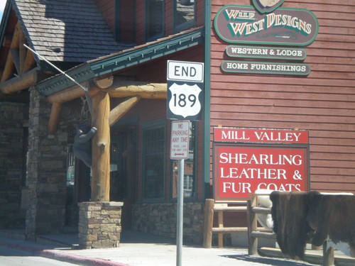
End US-189 North - Jackson

End US-189 North - Jackson

End US-189 north in Jackson, Wyoming. The south end of US-189 is in Provo, Utah.
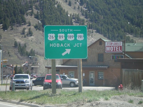
WY-22 East at US-26/US-89/US-189/US-191

WY-22 East at US-26/US-89/US-189/US-191

End WY-22 East at US-26/US-89/US-189/US-191. Use US-26 West/US-89/US-189/US-191 South to Hoback Junction.
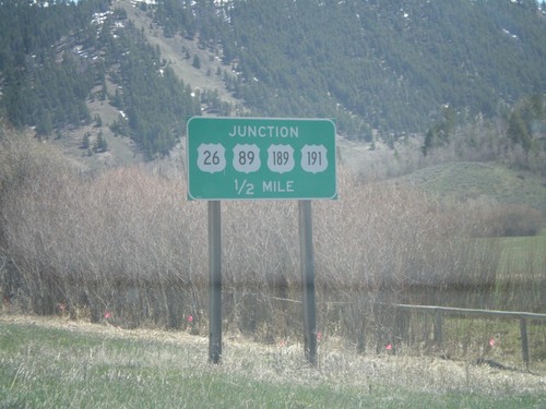
WY-22 East approaching US-26/US-89/US-189/US-191

WY-22 East approaching US-26/US-89/US-189/US-191

WY-22 East approaching US-26/US-89/US-189/US-191 in Jackson.
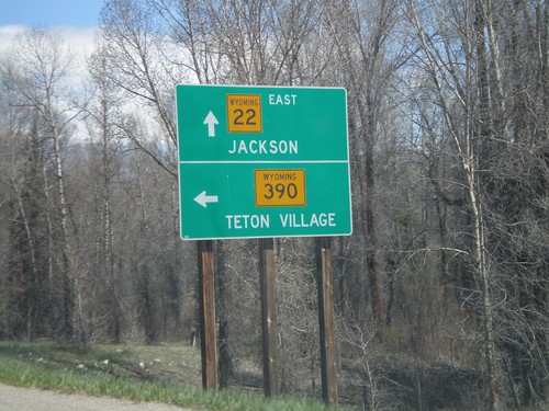
WY-22 East at WY-390

WY-22 East at WY-390

WY-22 east at WY-390 north to Teton Village. Continue east on WY-22 for Jackson.
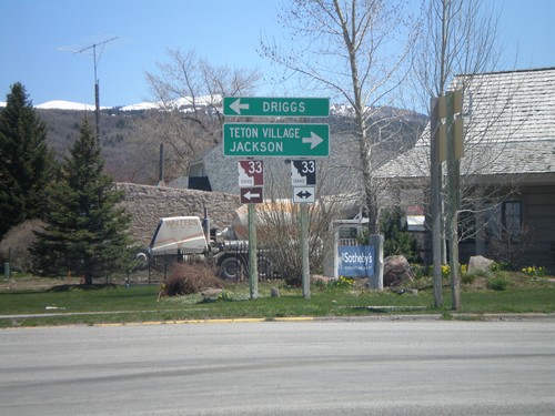
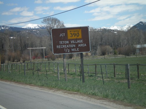
WY-22 East Approaching WY-390

WY-22 East Approaching WY-390

WY-22 east approaching WY-390 north to Teton Village Recreation Area.

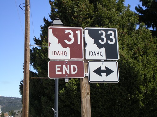
End ID-31 North at ID-33

End ID-31 North at ID-33

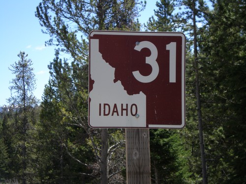
End ID-31 north at ID-33. Use ID-33 west for Driggs, and the continuation of the Teton Scenic Byway. Use ID-33 east for Teton Village and Jackson.
End ID-31 North at ID-33

End ID-31 North at ID-33

End ID-31 north at ID-33.

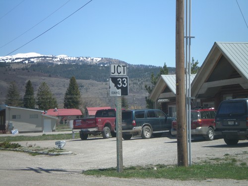
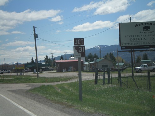
Jct. ID-33 on ID-31 North

Jct. ID-33 on ID-31 North

Junction ID-33 on ID-31 north.

ID-31 North - Teton County

ID-31 North - Teton County

ID-31 north, on the north side of Pine Creek Summit in the Targhee National Forest.
US-26 East at ID-31

US-26 East at ID-31

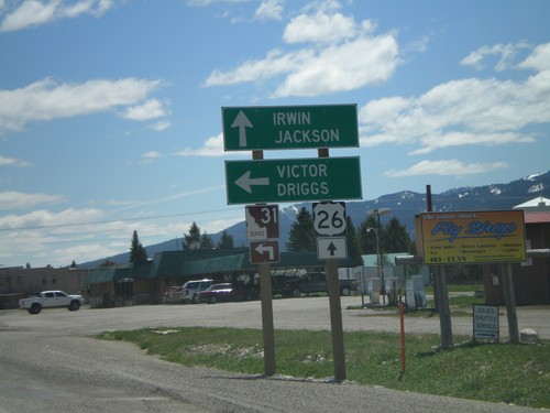
US-26 east at ID-31 north to Victor and Driggs. ID-31 is also a shorter route into Jackson, which goes over Teton Pass. However, trucks cannot use this route.
US-26 East Approaching ID-31

US-26 East Approaching ID-31

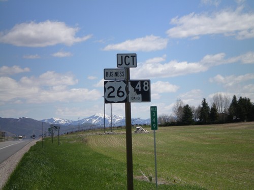
US-26 east approaching ID-31 north.

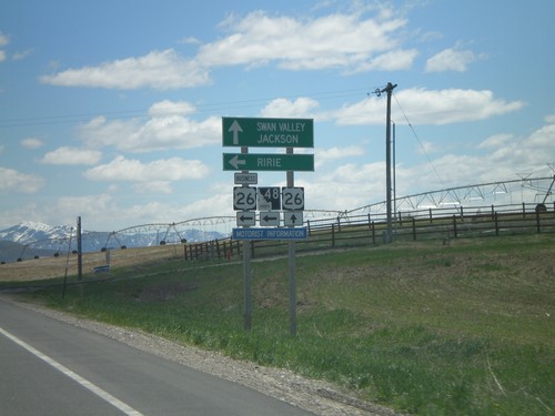
US-26 East at BL-26/ID-48

US-26 East at BL-26/ID-48

US-26 east at BL-26/ID-48 - the eastern end of the Ririe business loop.

US-26 East at BL US-26 and ID-48

US-26 East at BL US-26 and ID-48

US-26 east approaching BL-26 and ID-48. This is the eastern end of the Ririe business loop.
US-26 East at BL-26, Ririe Bus. Loop

US-26 East at BL-26, Ririe Bus. Loop

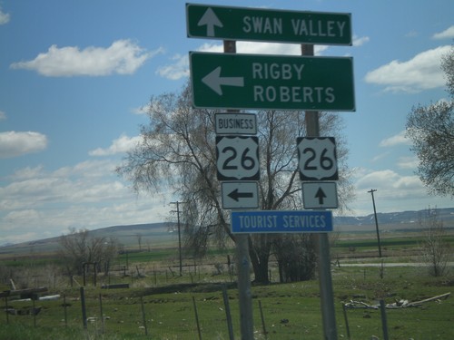
US-26 east at BL-26 east to Rigby and Roberts. BL-26 is the Ririe business loop.
US-26 East at ID-43

US-26 East at ID-43

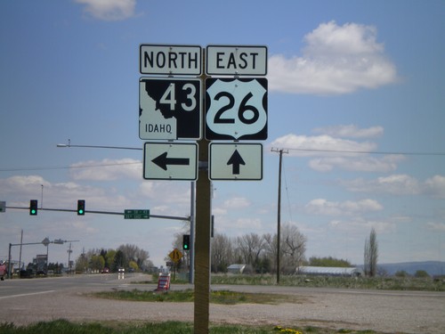
US-26 east approaching ID-43 north. ID-43 is a short highway that connects US-26 to US-20 in Ucon.
US-26 East at BL-20

US-26 East at BL-20

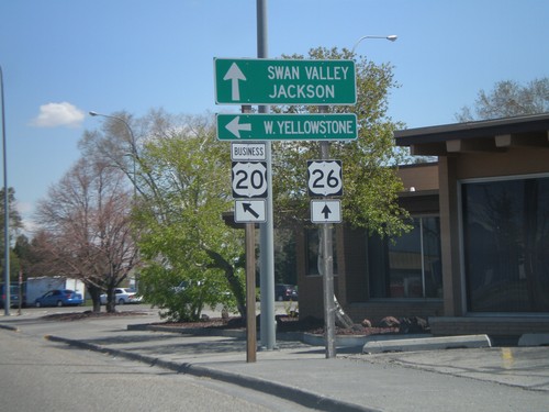
US-26 East/BL-20 East routes divide. Continue east on US-26 to Swan Valley and Jackson. Take BL-20 east to US-20 towards West Yellowstone.
US-26 East Approaching BL-20 Split

US-26 East Approaching BL-20 Split

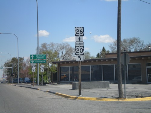
US-26 East/BL-20 East routes divide. BL-20 East heads north to US-20 towards West Yellowstone. US-26 continues east towards Swan Valley and Jackson.
BL-20 East/BL-15 South at US-26

BL-20 East/BL-15 South at US-26

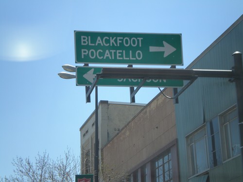
BL-20 East/BL-15 South (Broadway) at US-26/BL-20/BL-15 (Yellowstone) south to Blackfoot and Pocatello - north to Jackson (WY).
BL-20/BL-15 Approaching US-26

BL-20/BL-15 Approaching US-26

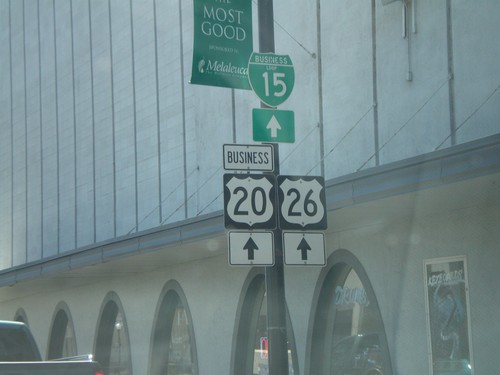
BL-20 East/BL-15 south (Broadway) approaching US-26/BL-26/BL-15 (Yellowstone) in downtown Idaho Falls.
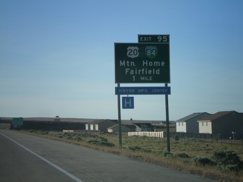
I-84 East - Exit 95

I-84 East - Exit 95

I-84 east approaching Exit 95 - BL-84/US-20/Mountain Home/Fairfield.

Maple St. South at I-90 West Onramp

Maple St. South at I-90 West Onramp

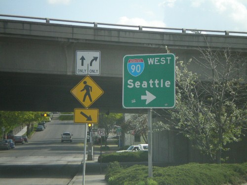
Maple St. South at I-90 west onramp to Seattle.

ID-41 South at I-90 - Interstate Trucks

ID-41 South at I-90 - Interstate Trucks

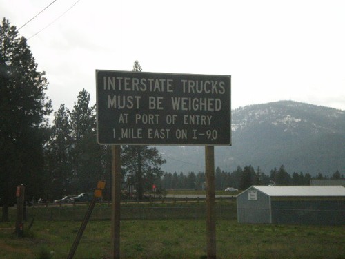
ID-41 south approaching I-90. All Interstate trucks must be weighed at Port of Entry on I-90 East.
Jct. I-90 on ID-41 South

Jct. I-90 on ID-41 South

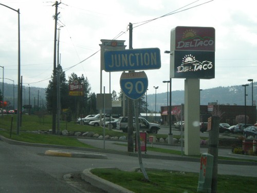
ID-41 south approaching I-90.

Northwest Blvd. at I-90 West

Northwest Blvd. at I-90 West

Northwest Blvd. west at I-90 west to Post Falls and Spokane.

Northwest Blvd. at I-90

Northwest Blvd. at I-90

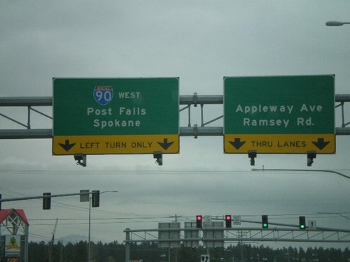
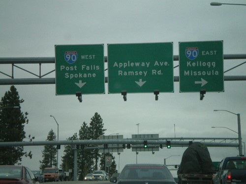
Northwest Blvd. west at I-90 east to Kellogg and Missoula. Approaching I-90 west to Post Falls and Spokane.
US-95 South at Northwest Blvd.

US-95 South at Northwest Blvd.

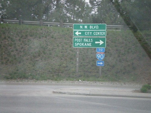
US-95 south offramp at Northwest Blvd east to City Center and west to Post Falls and Spokane.
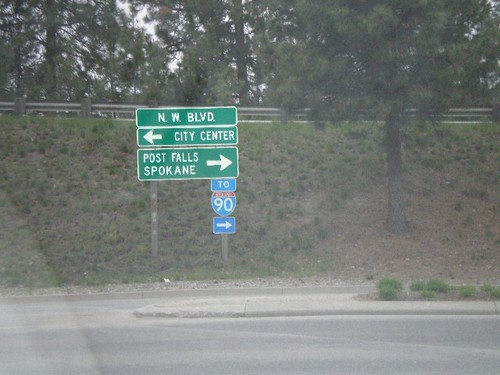
US-95 South at Northwest Blvd.

US-95 South at Northwest Blvd.

US-95 south offramp at Northwest Blvd east to City Center and west to Post Falls and Spokane.
US-95 South at Northwest Blvd. Exit

US-95 South at Northwest Blvd. Exit

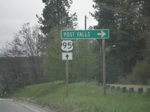
US-95 south at Northwest Blvd. to Post Falls.

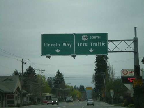
US-95 South at Lincoln Way

US-95 South at Lincoln Way

US-95 south approaching Lincoln Way.

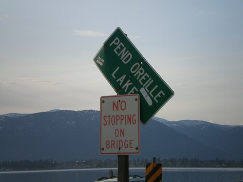
US-95 North - Pend Oreille Lake

US-95 North - Pend Oreille Lake

Pend Oreille Lake on US-95 north.

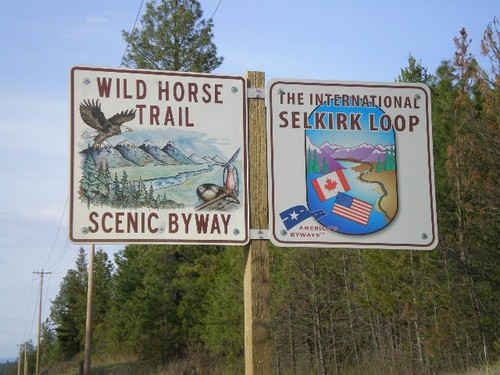
US-95 North - Wild Horse Trail Scenic Byway/International Selkirk Loop

US-95 North - Wild Horse Trail Scenic Byway/International Selkirk Loop

Wild Horse Trail Scenic Byway and International Selkirk Loop signs on US-95 north.
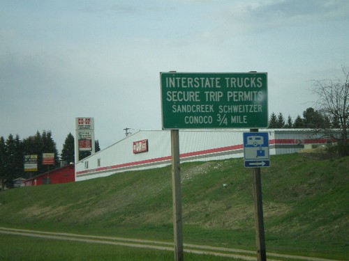
US-95 North - Secure Trip Permits

US-95 North - Secure Trip Permits

Interstate Trucks Secure Trip Permits on US-95 north. Most towns in Idaho near the border have a sign on the way into town announcing where to get secure trip permits.
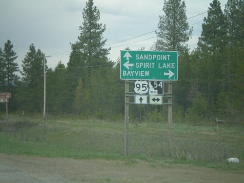
US-95 North at ID-54

US-95 North at ID-54

US-95 north at ID-54 west to Spirit Lake and east to Bayview.

US-95 North - Distance Marker

US-95 North - Distance Marker

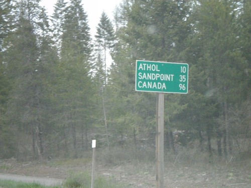
Distance marker on US-95 north to Athol, Sandpoint, and Canada.

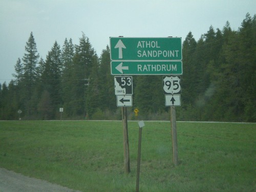
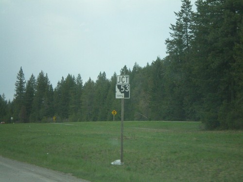
US-95 North At ID-53 West

US-95 North At ID-53 West

US-95 north at ID-53 west to Rathdrum.

US-95 North Approaching ID-53

US-95 North Approaching ID-53

US-95 north approaching ID-53 west.

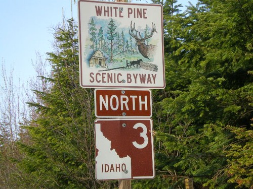
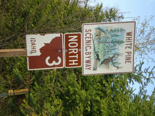
ID-3 North - White Pine Scenic Byway

ID-3 North - White Pine Scenic Byway

White Pine Scenic Byway on ID-3 north.

ID-3 North - White Pine Scenic Byway

ID-3 North - White Pine Scenic Byway

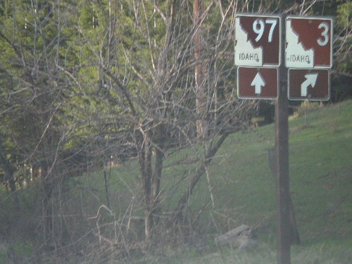
White Pine Scenic Byway on ID-3 north.

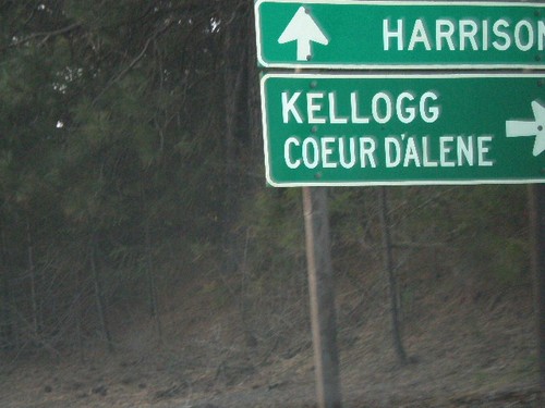
ID-3 North at ID-97 North

ID-3 North at ID-97 North

ID-3 north at ID-97 north to Harrison.

ID-3 North Approaching ID-97

ID-3 North Approaching ID-97

ID-3 north approaching ID-97 north.

St. Joe River Scenic Byway

St. Joe River Scenic Byway

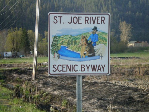
St. Joe River Scenic Byway on St. Joe River Road east.

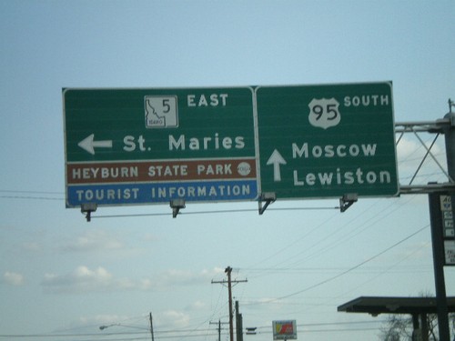
US-95 South at ID-5 East

US-95 South at ID-5 East

US-95 south to Moscow and Lewiston at ID-5 east to St. Maries and Heyburn State Park.
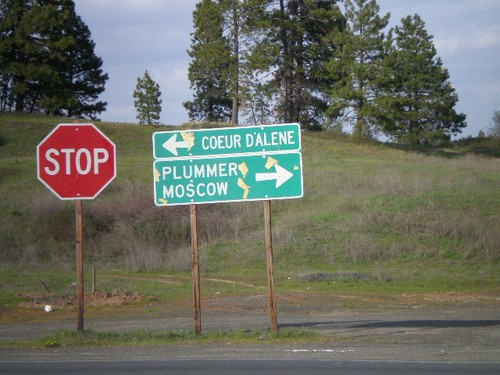
End ID-58 East at US-95

End ID-58 East at US-95

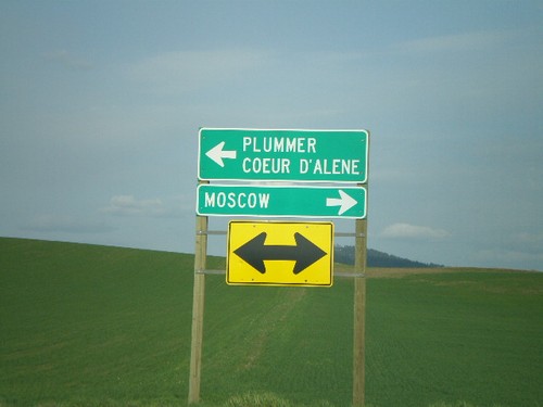
End ID-58 east at US-95 north to Coeur d’Alene and south to Plummer and Moscow.
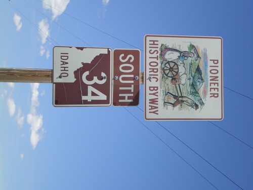
Begin ID-58 West

Begin ID-58 West

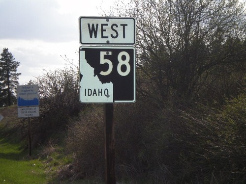
Begin ID-58 west at US-95.

US-95 North Approaching ID-58

US-95 North Approaching ID-58

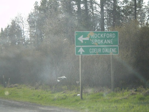
US-95 north approaching ID-58 west to Rockford and Coeur d’Alene.

End ID-60 East at US-95

End ID-60 East at US-95

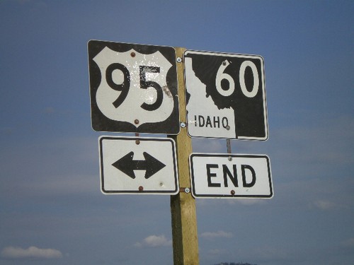
End ID-60 east at US-95 north to Plummer/Coeur d’Alene, and south to Moscow.
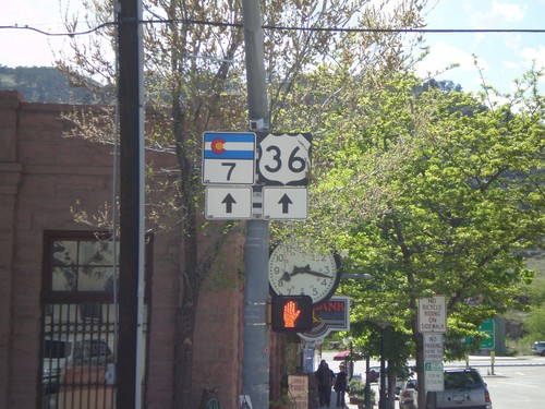
End ID-60 East at US-95

End ID-60 East at US-95

End ID-60 east at US-95.
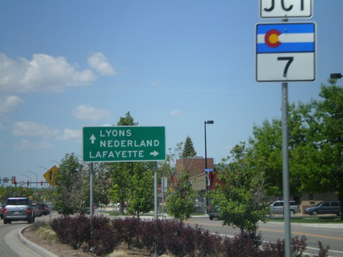
WA-27 North at WA-274

WA-27 North at WA-274

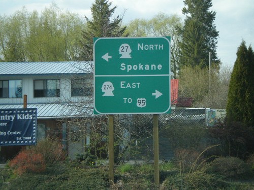
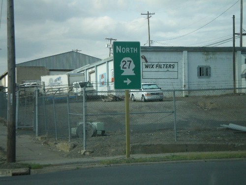
WA-27 north at WA-274 East to US-95.
WA-27 North - Tekoa

WA-27 North - Tekoa

WA-27 north (S Ramsey St.) at Main St.

WA-27 North at WA-271 North

WA-27 North at WA-271 North

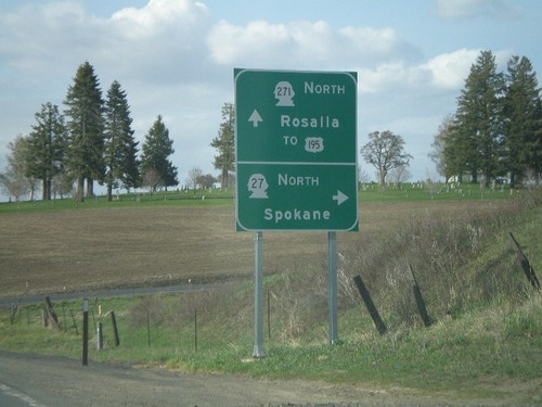
WA-27 north at WA-271 north to Rosalia and US-195.

WA-27 North Approaching WA-271

WA-27 North Approaching WA-271

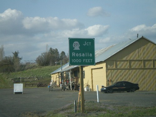
WA-27 north approaching WA-271 to Rosalia.

WA-23 South at I-90 East

WA-23 South at I-90 East

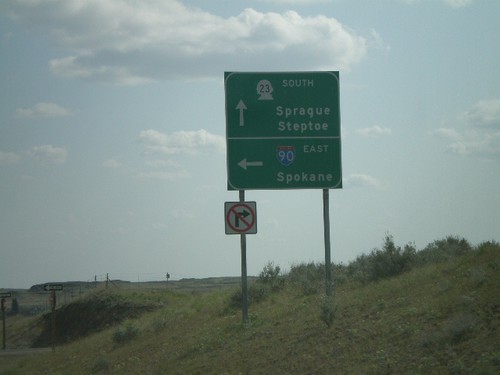
WA-23 south to Sprague and Spokane at I-90 east to Spokane.

I-90 West at Exit 245 Offramp

I-90 West at Exit 245 Offramp

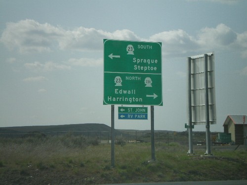
I-90 west at Exit 254 offramp at WA-23 jct. WA-23 south to Sprague and Steptoe, and WA-23/WA-231 north to Edwall and Harrington.

I-90 West - Exit 245

I-90 West - Exit 245

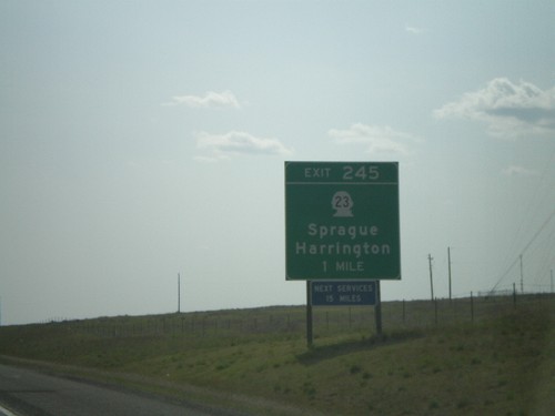
I-90 west approaching Exit 245 - WA-23/Sprague/Harrington, 1 mile.

I-90 West - Exit 254

I-90 West - Exit 254

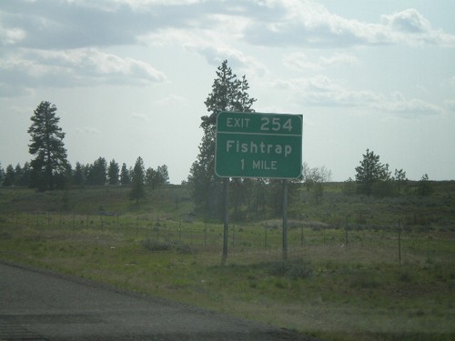
I-90 west approaching Exit 254 - Fishtrap

I-90 West - Exit 257

I-90 West - Exit 257

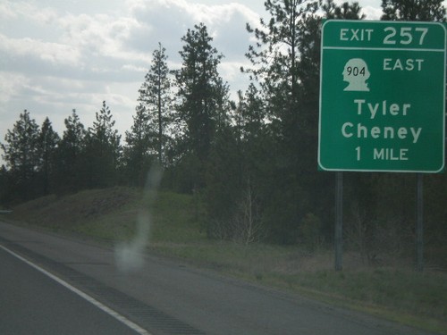
I-90 west approaching Exit 257 - WA-904 East/Tyler/Cheney, 1 mile.

I-90 West - Exit 264

I-90 West - Exit 264

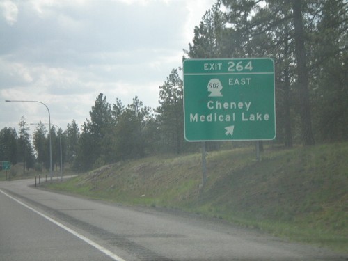
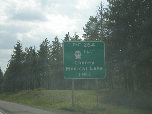
I-90 west at Exit 264 - WA-902 East/Cheney/Medical Lake

I-90 West - Exit 264

I-90 West - Exit 264

I-90 west approaching Exit 264 - WA-902 East/Cheney/Medical Lake, 1 mile.

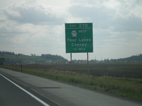
I-90 West - Exit 270

I-90 West - Exit 270

I-90 west approaching Exit 270 - WA-904 West/Four Lakes/Cheney, 1/2 mile.

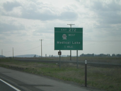
I-90 West - Exit 272

I-90 West - Exit 272

I-90 west approaching Exit 272 - WA-902 West/Medical Lake, 1 mile.