Javascript Is Required To Use This Page

Signs From July 2008
ID-162 East at Old ID-7 Jct.

ID-162 East at Old ID-7 Jct.

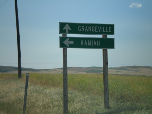
ID-162 east at Old ID-7 junction. Use ID-162 for Kamiah. Use Old ID-7 for Grangeville.
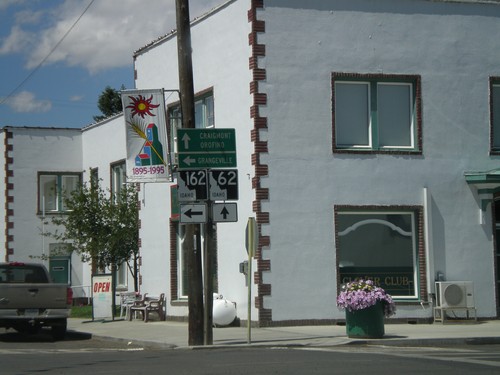
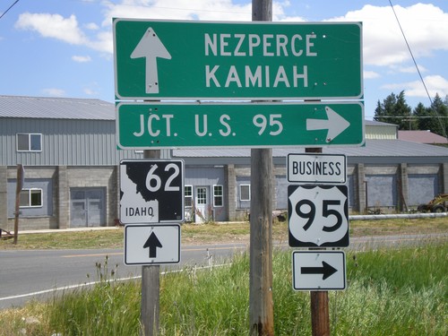
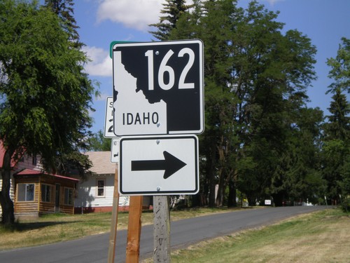
ID-162 - Nezperce

ID-162 - Nezperce

ID-162 at the corner of 8th St. and Walnut St.

End ID-64 West at ID-62/ID-162

End ID-64 West at ID-62/ID-162

End ID-64 at ID-162 and ID-62. Continue straight for ID-62 towards Craigmont and Orofino. Turn left for ID-162 towards Grangeville.
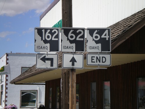
End ID-64 at ID-62 and ID-162

End ID-64 at ID-62 and ID-162

End ID-64 at ID-62 and ID-162. This is the only location in the state where three state highways meet.
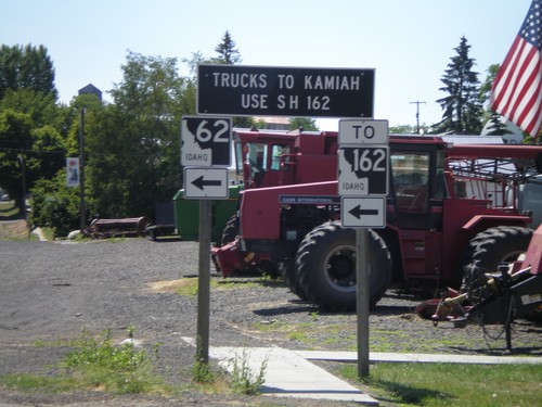
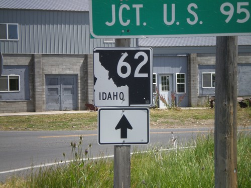
ID-62 East To ID-162 - Truck Information

ID-62 East To ID-162 - Truck Information

ID-62 approaching ID-162. All Kamiah truck traffic use ID-162.
BL-95 South at ID-62 (Closeup)

BL-95 South at ID-62 (Closeup)

Closeup of ID-62 shield at ID-62/BL-95 junction.

BL-95 South at ID-62

BL-95 South at ID-62

BL-95 south at ID-62 towards Kamiah and Nezperce. Turn left on BL-95 for US-95.

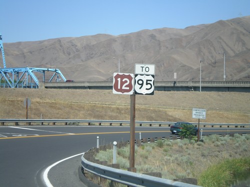
US-12 East At US-95

US-12 East At US-95

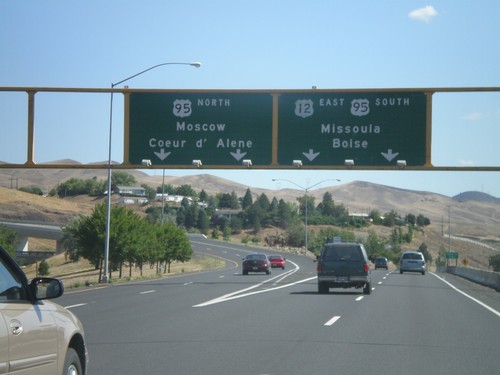
US-12 East at US-95. Merge left for US-95 north to Moscow and Coeur d’Alene. Use right lanes for US-12 East/US-95 South/Missoula (Montana)/Boise. US-95 south joins US-12 east for about 10 miles eastbound along the Clearwater River.
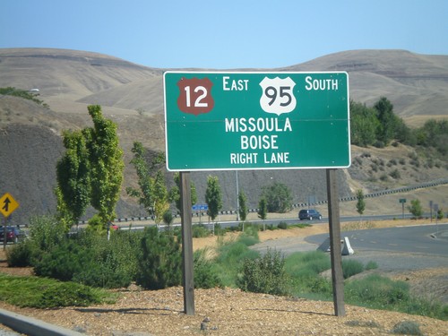
US-12 East Approaching US-95

US-12 East Approaching US-95

US-12 east approaching US-95. Use right lanes for US-12 East/US-95 South/Missoula (Montana)/Boise.
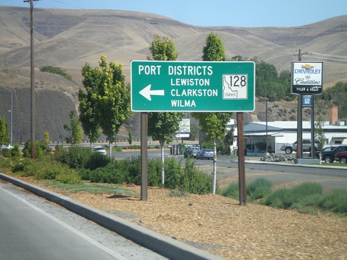
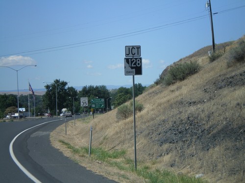
US-12 East at ID-128

US-12 East at ID-128

US-12 east at ID-128 in Lewiston. Use ID-128 for the Lewiston, Clarkston, and Wilma Port Districts.
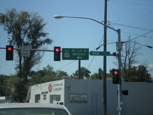
US-12 East - Levee Bypass at Main St.

US-12 East - Levee Bypass at Main St.

US-12 East at Main St. Turn left on Main St. to continue east on US-12 to US-95 and Missoula (Montana).
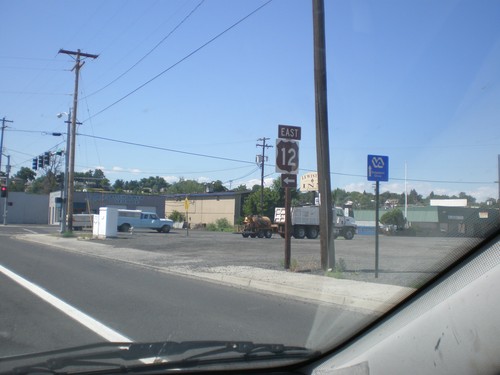
US-12 East - Levee Bypass at Main St.

US-12 East - Levee Bypass at Main St.

US-12 East on Levee Bypass approaching Main St. Turn left on Main St. to continue on US-12.
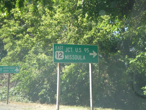
US-12 East To US-95 - Levee Bypass

US-12 East To US-95 - Levee Bypass

US-12 East - To US-95 on the Levee Bypass in Lewiston.

US-12 East - Interstate Bridge

US-12 East - Interstate Bridge

US-12 east at end of Interstate Bridge. Turn right to continue east on US-12 for US-95 and Missoula (Montana).
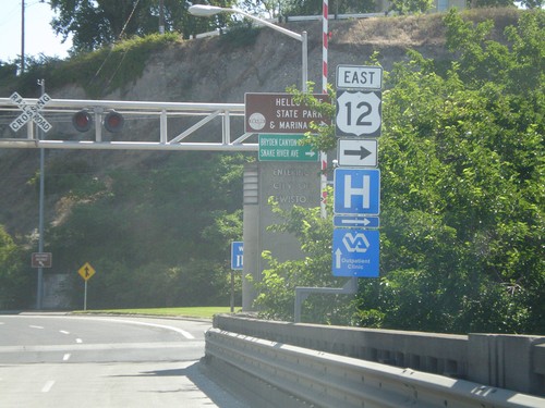
US-12 East - Interstate Bridge

US-12 East - Interstate Bridge

US-12 east on Idaho side of Interstate Bridge over the Snake River. Merge right to continue east on US-12.
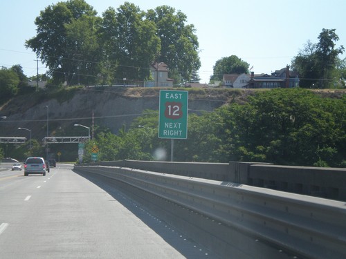
US-12 East - Interstate Bridge

US-12 East - Interstate Bridge

US-12 east on Interstate Bridge over Snake River. Merge right to continue east on US-12.
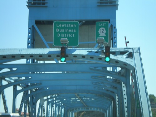
US-12 East - Idaho State Line

US-12 East - Idaho State Line

Errant US-12 shield displayed as a state route shield on the Interstate bridge over the Snake River on the Idaho border.
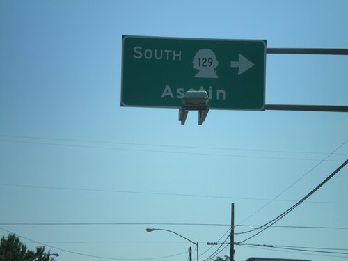
US-12 West at WA-129 South

US-12 West at WA-129 South

US-12 east at WA-129 south to Asotin.

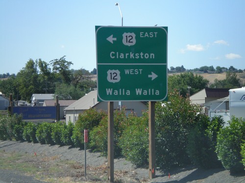
End WA-128 West at US-12

End WA-128 West at US-12

End WA-128 west at US-12 west to Walla Walla; east to Clarkston.

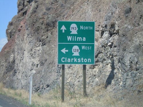
WA-128 West at WA-193 North

WA-128 West at WA-193 North

WA-128 west at WA-193 north to Wilma. Turn left for WA-128 west to Clarkston.
ID-128 West - Port Districts

ID-128 West - Port Districts

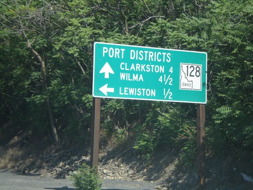
ID-128 at the Port of Lewiston. Continue ahead for the Ports of Clarkston (WA) and Wilma (WA).
ID-128 West - Lewiston

ID-128 West - Lewiston

ID-128 west in Lewiston. ID-128 follows the north side of the Clearwater and Snake River, and connects with WA-128.
US-12 West at ID-128

US-12 West at ID-128

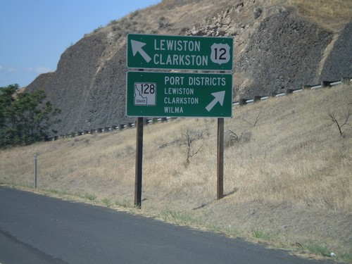
US-12 west approaching ID-128 in Lewiston. Merge right for ID-128 west to Lewiston, Clarkston, and Wilma Port Districts. Merge left for US-12 west to Lewiston and Clarkston (WA).
US-12 West Approaching ID-128

US-12 West Approaching ID-128

US-12 west approaching ID-128 in Lewiston.

US-95 South at US-12

US-95 South at US-12

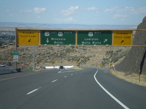
US-95 south at US-12 junction. Merge right for US-12 West/Lewiston/Walla Walla (Washington). Use left lane for US-95 South/US-12 East/Missoula (Montana)/Boise. Use either lane for access to Runaway Truck Ramps.
US-95 South Approaching US-12

US-95 South Approaching US-12

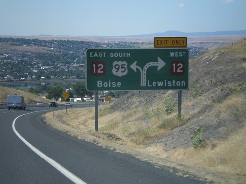
US-95 south approaching US-12. Use right lane for US-12 west to Lewiston; left lane for US-95 South/US-12 East to Boise.
US-95 South Approaching US-12

US-95 South Approaching US-12

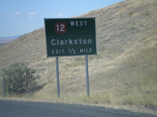
US-95 south approaching US-12 West - Clarkston at the foot of Lewiston Hill.
US-95 South Approaching US-12

US-95 South Approaching US-12

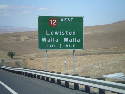
US-95 South approaching US-12 West to Lewiston and Walla Walla (Washington).
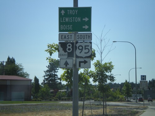
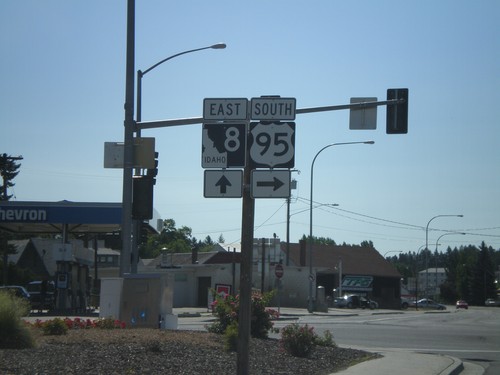
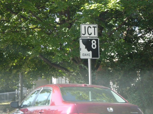
US-95 South/ID-8 At ID-8 East

US-95 South/ID-8 At ID-8 East

US-95 South/ID-8 East at ID-8 East junction in Moscow.

US-95 South/ID-8 Approaching ID-8 East

US-95 South/ID-8 Approaching ID-8 East

US-95 South/ID-8 East approaching US-95/ID-8 split. Use ID-8 east for Troy; turn right for US-95 south to Lewiston and Boise.
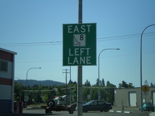
US-95 South/ID-8 Approaching ID-8 East

US-95 South/ID-8 Approaching ID-8 East

US-95 South/ID-8 East approaching US-95/ID-8 split in Moscow. Use left lane for ID-8 east.
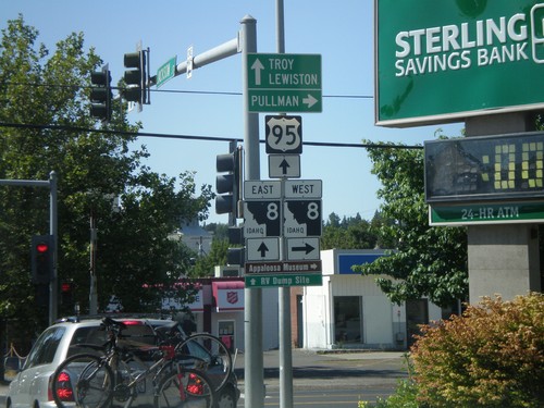
US-95 South at ID-8

US-95 South at ID-8

US-95 south at ID-8. Turn right for ID-8 west to Pullman (WA). Go straight for US-95 South/ID-8 for Lewiston and Troy (via ID-8). ID-8 joins US-95 through downtown Moscow.
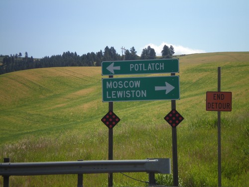
US-95 South Approaching ID-8

US-95 South Approaching ID-8

US-95 South approaching ID-8 in Moscow.

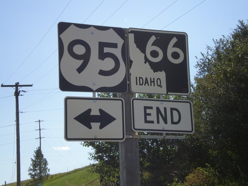
End ID-66 West at US-95

End ID-66 West at US-95

End ID-66 west at US-95. Use US-95 north for Potlatch; use US-95 south for Moscow and Lewiston.
End ID-66 West at US-95

End ID-66 West at US-95

End ID-66 west at US-95 in Latah County.

WA-272 East at WA-27

WA-272 East at WA-27

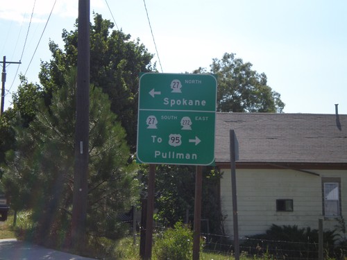
WA-272 east at WA-27. Use WA-27 north for Spokane. Use WA-27 South for WA-272 East/To US-95/Pullman.
WA-272 East Approaching WA-27

WA-272 East Approaching WA-27

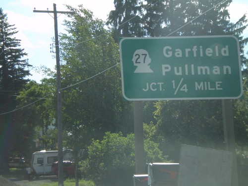
WA-272 east approaching WA-27 to Garfield and Pullman.

US-195 South - Pullman Overhead

US-195 South - Pullman Overhead

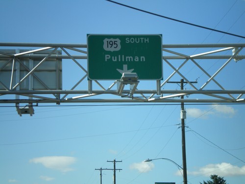
US-195 South/Pullman overhead just south of WA-26.

US-195 South at WA-26 West

US-195 South at WA-26 West

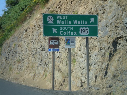
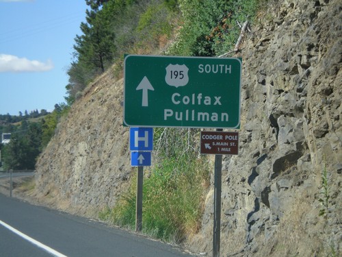
US-195 south to Colfax at WA-26 West to Walla Walla.

US-195 South Approaching WA-26

US-195 South Approaching WA-26

US-195 south approaching WA-26 west. Use US-195 south for Colfax and Pullman.
US-195 South Approaching WA-26

US-195 South Approaching WA-26

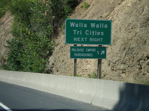
US-195 south approaching WA-26 west. Use WA-26 for Walla Walla and the Tri Cities.
US-195 South - Entering Colfax

US-195 South - Entering Colfax

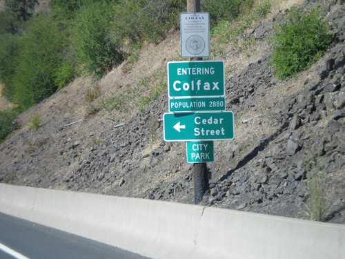
Entering Colfax on US-195 south.

US-195 South Approaching WA-26

US-195 South Approaching WA-26

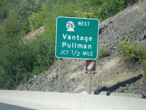
US-195 south to Pullman approaching WA-26 West to Vantage.

WA-23 East Approaching US-195

WA-23 East Approaching US-195

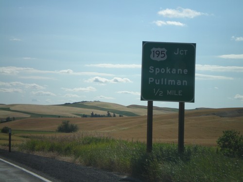
WA-23 east approaching US-195 to Pullman and Spokane.

WA-23 South at I-90

WA-23 South at I-90

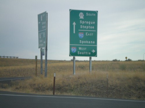
WA-23 south at I-90 west to Seattle. Approaching I-90 east to Spokane. Continue on WA-23 to Sprague and Steptoe.
WA-23 South Approaching I-90

WA-23 South Approaching I-90

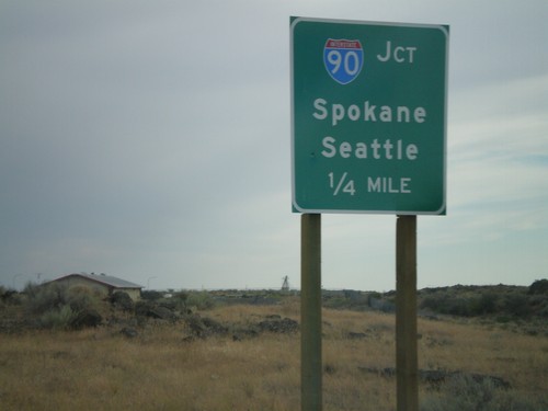
WA-23 south approaching I-90 to Seattle and Spokane.

WA-23 South at WA-231 North

WA-23 South at WA-231 North

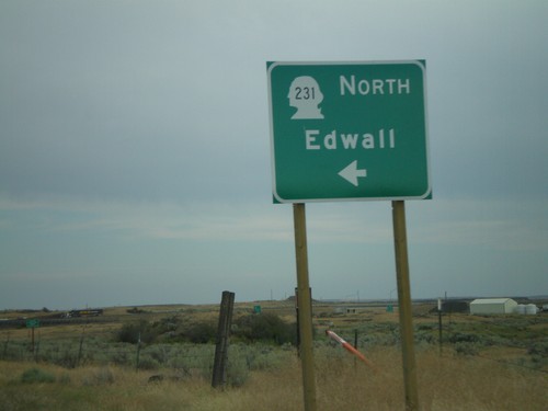
WA-23 south at WA-231 north to Edwall.

WA-28 West at WA-23 South

WA-28 West at WA-23 South

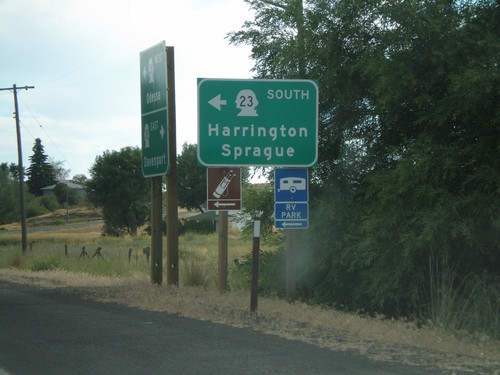
WA-28 west at WA-23 South/Harrington/Sprague

US-2 East/WA-21 South at WA-21 South

US-2 East/WA-21 South at WA-21 South

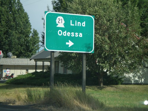
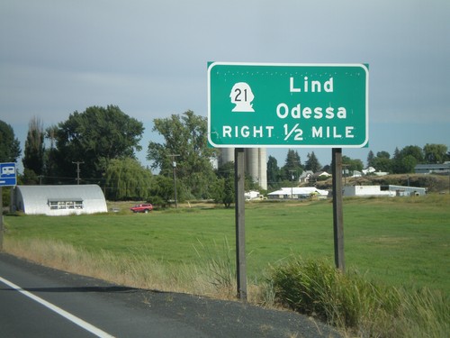
US-2 East/WA-21 South at WA-21 south to Lind and Odessa.

US-2 East/WA-21 South Approaching WA-21

US-2 East/WA-21 South Approaching WA-21

US-2 East/WA-21 South approaching WA-21 South to Lind and Odessa.
WA-21 South at US-2

WA-21 South at US-2

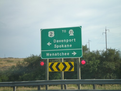
WA-21 south at US-2 west to Wenatchee; east to Spokane and Davenport. WA-21 joins US-east through Wilbur.
WA-21 South Approaching US-2

WA-21 South Approaching US-2

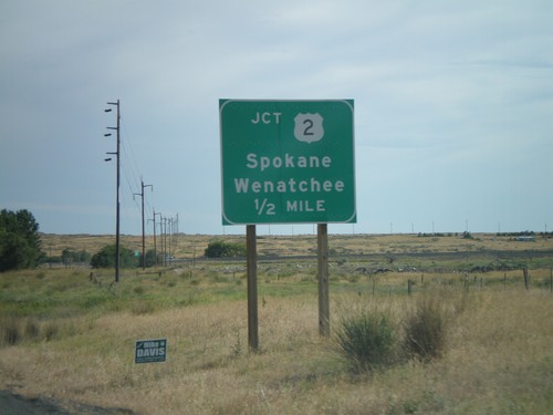
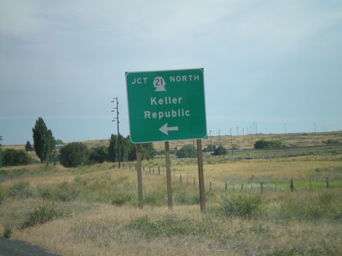
WA-21 south approaching US-2 to Spokane and Wenatchee.

End WA-174 South at WA-21

End WA-174 South at WA-21

End WA-174 south at WA-21. Turn left for WA-21 north to Keller and Republic.
WA-174 South Approaching WA-21 North

WA-174 South Approaching WA-21 North

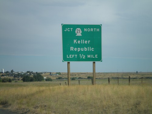
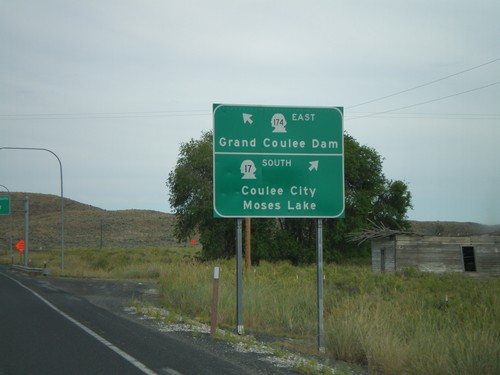
WA-174 south approaching WA-21 north to Keller and Republic.

WA-174 South at WA-155

WA-174 South at WA-155

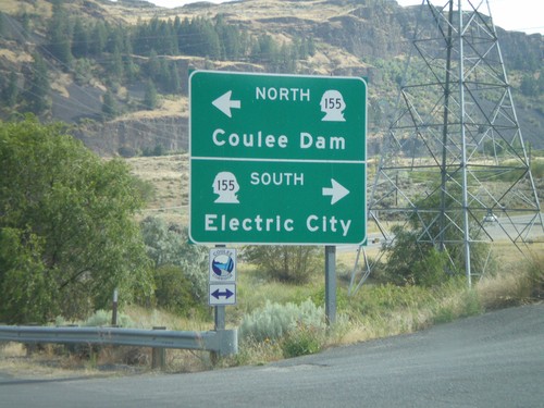
WA-174 south at WA-155/Coulee Dam/Electric City.

WA-17 South at WA-174 East

WA-17 South at WA-174 East

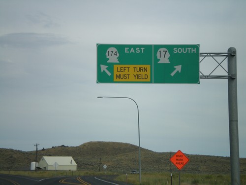
WA-17 South/WA-174 East split.

WA-17 South Approaching WA-174

WA-17 South Approaching WA-174

WA-17 south approaching WA-174 East to Grand Coulee Dam. Continue south on WA-17 for Coulee City and Moses Lake.
WA-17 South Approaching WA-173 North

WA-17 South Approaching WA-173 North

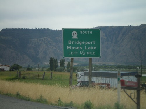
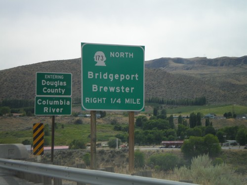
WA-17 south approaching WA-173 North/Bridgeport/Brewster. Crossing the Columbia River into Douglas County.
US-97 South Approaching WA-17

US-97 South Approaching WA-17

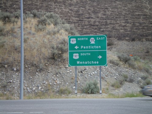
US-97 south approaching WA-17 South to Bridgeport and Moses Lake.

WA-20 East at US-97

WA-20 East at US-97

WA-20 east at US-97. WA-20 follows US-97 north from here. Use US-97 south for Wenatchee. Use US-97 north for Penticton (Canada).
WA-20 East at WA-215

WA-20 East at WA-215

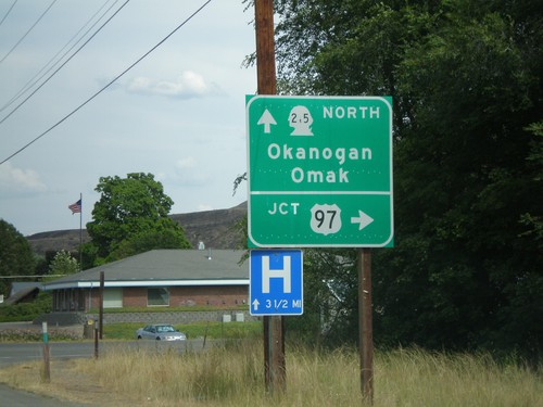
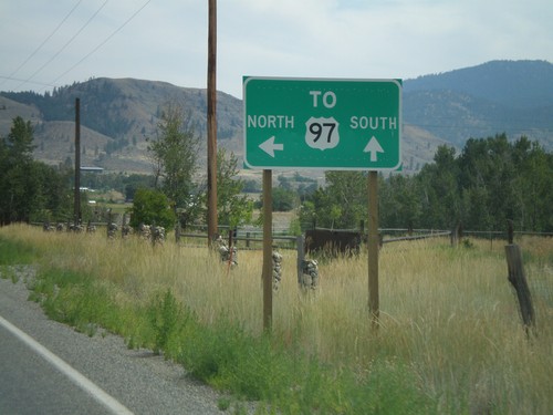
WA-20 east to US-97 at WA-215 North to Okanogan and Omak.

WA-20 East - Loup Loup Pass

WA-20 East - Loup Loup Pass

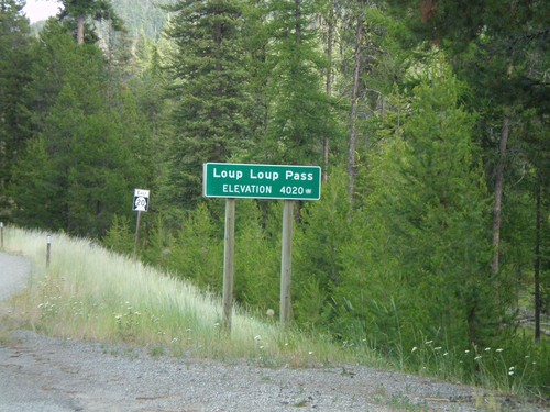
WA-20 east at Loup Loup Pass - Elevation 4,020 Feet.

WA-20 East at WA-153 South

WA-20 East at WA-153 South

WA-20 east to Okanogan at WA-153 south to Chelan and Wenatchee.

WA-20 East Approaching WA-153

WA-20 East Approaching WA-153

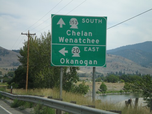
WA-20 east approaching WA-153. For US-97 north use WA-20 east. For US-97 south use WA-153 south.
WA-20 East Approaching WA-153

WA-20 East Approaching WA-153

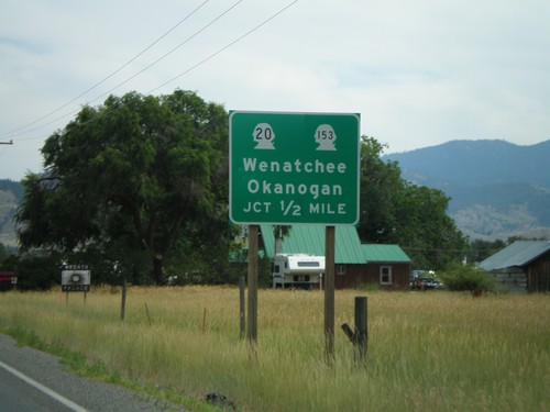
WA-20 east approaching WA-153. WA-20 east heads toward Okanogan. WA-153 heads south towards Wenatchee.
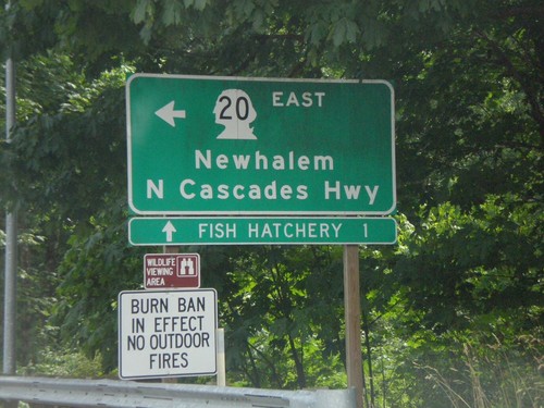
WA-20 East at Cascade River Road

WA-20 East at Cascade River Road

WA-20 East at Cascade River Road. Turn left on WA-20 for Newhalem and North Cascade Highway.
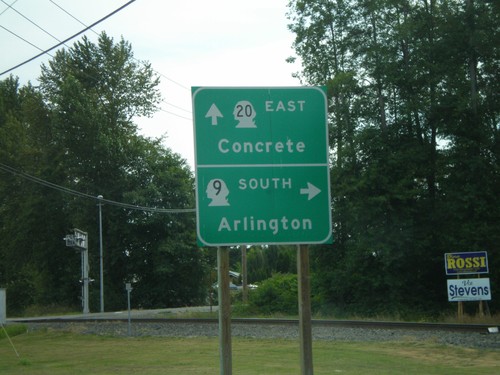
WA-20 East Approaching Cascade River Road

WA-20 East Approaching Cascade River Road

WA-20 east approaching Cascade River Road.

WA-20 East Approaching WA-530

WA-20 East Approaching WA-530

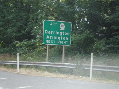
WA-20 east approaching WA-530 to Darrington and Arlington.

WA-20 East/WA-9 North at WA-9 North

WA-20 East/WA-9 North at WA-9 North

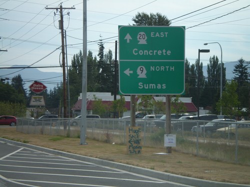
WA-20 East/WA-9 North at WA-9 north to Sumas.

WA-20 East/WA-9 North

WA-20 East/WA-9 North

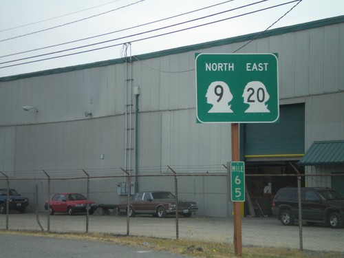
WA-20 East/WA-9 North in Sedro-Wooley.

WA-20 East at WA-9 South

WA-20 East at WA-9 South

WA-20 east at WA-9 south to Arlington. WA-9 joins WA-20 east through Sedro-Wooley.
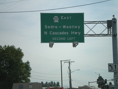
WA-20 East Overhead in Burlington

WA-20 East Overhead in Burlington

WA-20 east (Avon. Ave.) approaching N. Cascades Highway. Turn left to continue on WA-20 east to Sedro-Wooley and North Cascades Highway.
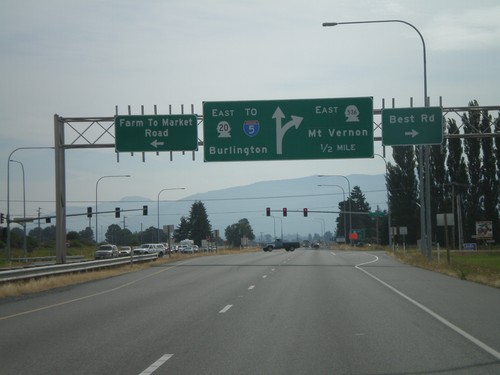
WA-20 East at I-5 North

WA-20 East at I-5 North

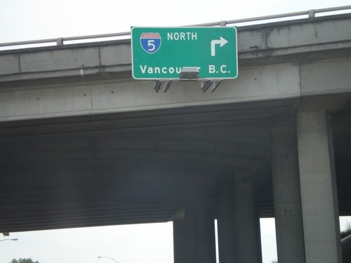
WA-20 east at I-5 north to Vancouver, BC.

WA-20 East Approaching I-5

WA-20 East Approaching I-5

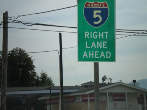
WA-20 east approaching I-5. Use right lanes for I-5.

WA-20 East Approaching WA-536 East

WA-20 East Approaching WA-536 East

WA-20 east at WA-536 East/Mount Vernon. Continue on WA-20 east for Burlington and I-5.
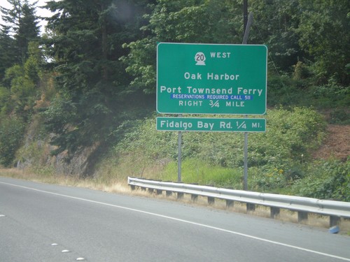
WA-20 Spur East Approaching WA-20

WA-20 Spur East Approaching WA-20

End WA-20 East Spur at WA-20. Turn right for WA-20 West/Oak Harbor/Port Townsend Ferry.
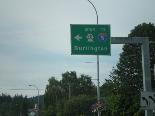
WA-20 Spur East To I-5

WA-20 Spur East To I-5

WA-20 Spur East/To I-5 in Anacortes to Burlington.

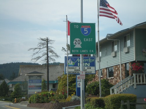
WA-20 Spur East to I-5

WA-20 Spur East to I-5

WA-20 Spur East (Commercial Ave.) at approaching 36th Ave. to I-5.

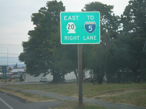
WA-20 Spur East to I-5

WA-20 Spur East to I-5

WA-20 Spur east (12th Ave.) at Commercial St. to I-5.

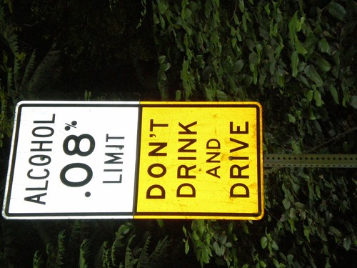
Alcohol Limit 0.08% - Lopez Island

Alcohol Limit 0.08% - Lopez Island

Ferry Road south on Lopez Island. Alcohol Limit 0.08% - Don’t Drink and Drive. This is a standard sign on Washington highways.
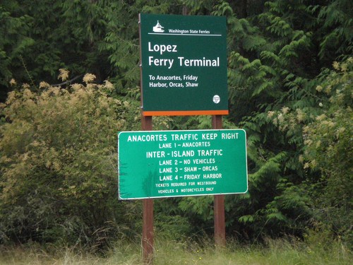
Lopez Ferry Terminal

Lopez Ferry Terminal

Ferry Road north on Lopez Island approaching Lopez Ferry Terminal.

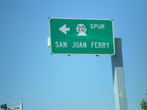
WA-20 Spur West to San Juan Ferry

WA-20 Spur West to San Juan Ferry

WA-20 Spur west (Commercial Ave.) at 12th St. Turn left for San Juan Ferry.
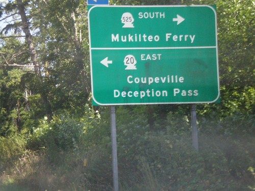
WA-20 East at WA-525 South

WA-20 East at WA-525 South

WA-20 east at WA-525 South to Mukilteo Ferry. Turn left to continue on WA-20 east to Coupeville and Deception Pass.
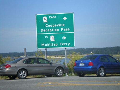
WA-20 East - Keystone Ferry Landing

WA-20 East - Keystone Ferry Landing

WA-20 east at exit of Port Townsend Ferry. Turn left for WA-20 East/Coupeville/Deception Pass/To WA-525/Mukilteo Ferry
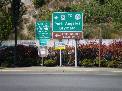
WA-20 West - Port Townsend Ferry Exit

WA-20 West - Port Townsend Ferry Exit

WA-20 west leaving the Whidbey Island Ferry. Turn left for WA-20 West/To US-101/Port Angeles/Olympia.
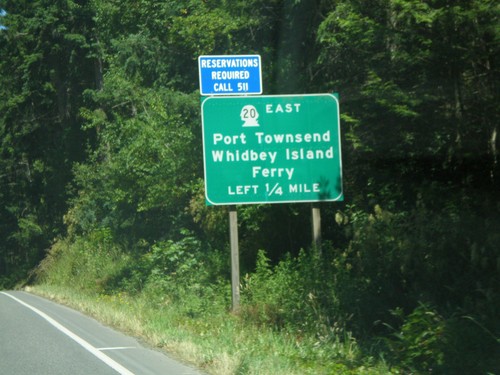
WA-20 East Approaching WA-19

WA-20 East Approaching WA-19

WA-20 east approaching WA-19. Turn left for WA-20 east for Port Townsend and the Whidbey Island Ferry.
WA-20 East

WA-20 East

First WA-20 shield on WA-20 east.

US-101 South Approaching WA-20

US-101 South Approaching WA-20

US-101 south approaching WA-20 east to Port Townsend.

US-101 North at WA-20 East

US-101 North at WA-20 East

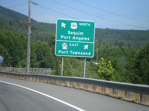
US-101 north at WA-20 east to Port Townsend. Continue on US-101 north for Sequim and Port Angeles.
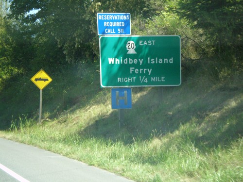
US-101 North Approaching WA-20 East

US-101 North Approaching WA-20 East

US-101 north approaching WA-20 east. Use WA-20 for the Whidbey Island Ferry.
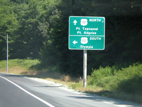
US-101 North Approaching WA-20

US-101 North Approaching WA-20

US-101 north approaching WA-20 to Port Townsend.

End WA-104 West at US-101

End WA-104 West at US-101

End WA-104 west at US-101. Use US-101 south to Olympia. Use US-101 north for Port Townsend and Port Angeles.
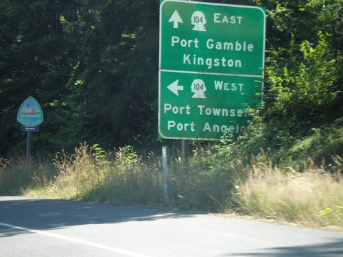
WA-104 West Approaching US-101

WA-104 West Approaching US-101

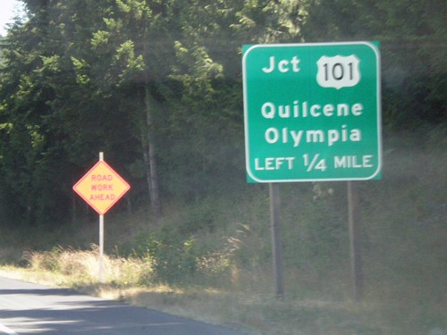
WA-104 west approaching US-101/Quilcene/Olympia

WA-104 West Approaching WA-19

WA-104 West Approaching WA-19

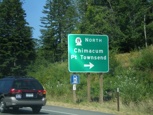
WA-104 west approaching WA-19 North/Chimacum/Port Townsend

End WA-3 North at WA-104

End WA-3 North at WA-104

End WA-3 north at WA-104. WA-104 East to Port Gamble and Kingston. WA-104 West to Port Townsend and Port Angeles.
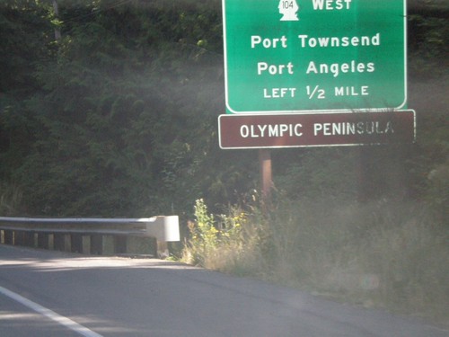
WA-3 North Approaching WA-104

WA-3 North Approaching WA-104

WA-3 north approaching WA-104 West/Port Townsend/Port Angeles. Use WA-104 west for the Olympic Peninsula.
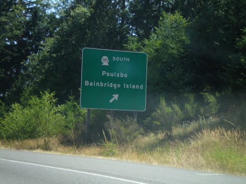
WA-3 North at WA-305

WA-3 North at WA-305

WA-3 north at WA-305 South/Poulsbo/Bainbridge Island exit

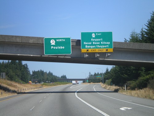
WA-3 North at WA-308 East

WA-3 North at WA-308 East

WA-3 north at WA-308 East/Keyport/Naval Base Kitsap/Bangor/Keyport

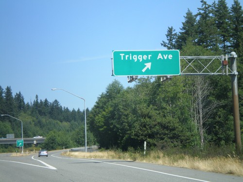
WA-3 North - Trigger Ave. Exit

WA-3 North - Trigger Ave. Exit

WA-3 north at Trigger Ave. exit

WA-3 North - Exit 45B and Exit 45A

WA-3 North - Exit 45B and Exit 45A

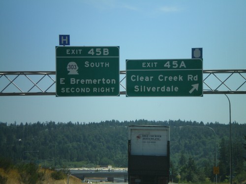
WA-3 north at Exit 45A - Clear Creek Road/Silverdale. Approaching Exit 45B - WA-303 South/East Bremerton.
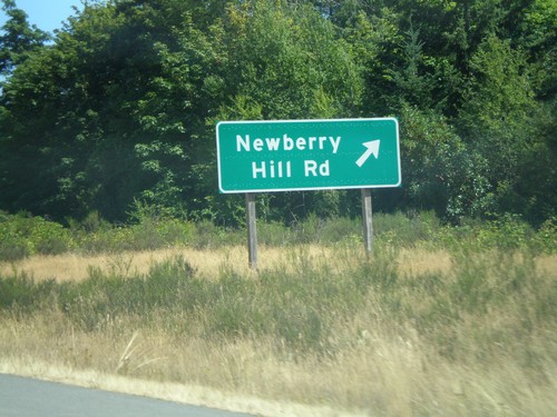
WA-3 North - Newberry Hill Road Exit

WA-3 North - Newberry Hill Road Exit

WA-3 north at Newberry Hill Road exit

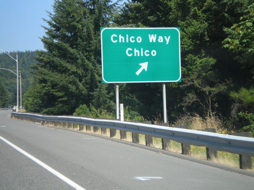
WA-3 North - Chico Way Exit

WA-3 North - Chico Way Exit

WA-3 north at Chico Way/Chico exit.

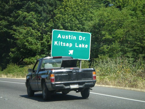
WA-3 North - Austin Dr. Exit

WA-3 North - Austin Dr. Exit

WA-3 north at Austin Dr./Kitsap Lake exit.

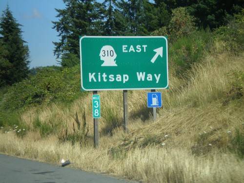
WA-3 North - WA-310 East Exit

WA-3 North - WA-310 East Exit

WA-3 north at WA-310 East/Kitsap Way

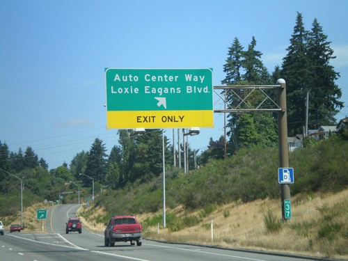
WA-3 North - Auto Center Way Exit

WA-3 North - Auto Center Way Exit

WA-3 north at Auto Center Way/Loxie Eagans Blvd. exit.

WA-3 North - Exit 36

WA-3 North - Exit 36

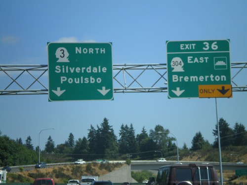
WA-3 north at Exit 36 - WA-304 East/Bremerton. Overhead for WA-3 north to Silverdale and Poulsbo
WA-3 North - WA-304 East Exit

WA-3 North - WA-304 East Exit

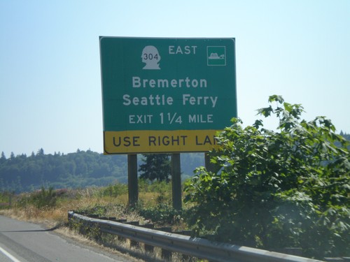
WA-3 north approaching WA-304 East/Bremerton/Seattle Ferry

WA-3 North - Bremerton Exits

WA-3 North - Bremerton Exits

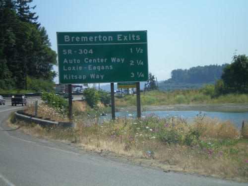
Bremerton exits on WA-3 north.

WA-3 North to Bremerton

WA-3 North to Bremerton

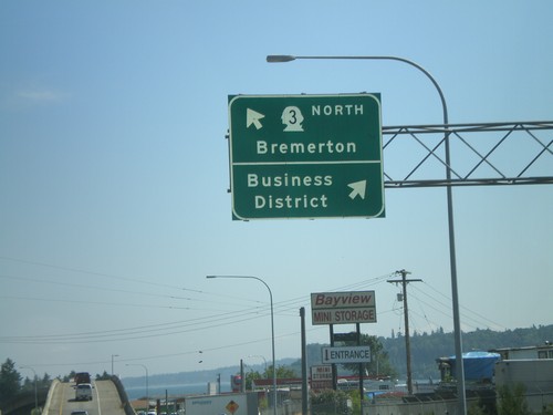
WA-3 north at Business District exit. Stay left for WA-3 north to Bremerton.

WA-3 North at WA-16 East

WA-3 North at WA-16 East

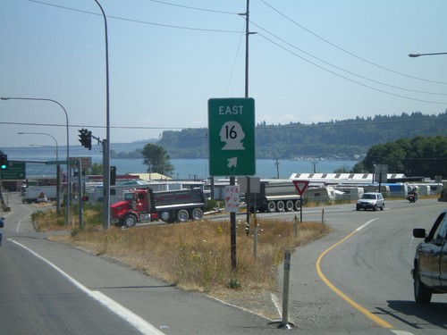
WA-3 north at WA-16 east

WA-3 North at WA-16 East

WA-3 North at WA-16 East

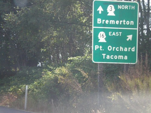
WA-3 north at WA-16 east to Port Orchard and Tacoma

WA-3 North Approaching WA-106

WA-3 North Approaching WA-106

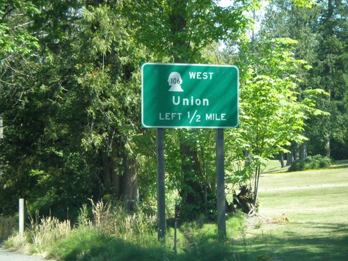
WA-3 north approaching WA-106 west to Union

WA-3 North at WA-302 East

WA-3 North at WA-302 East

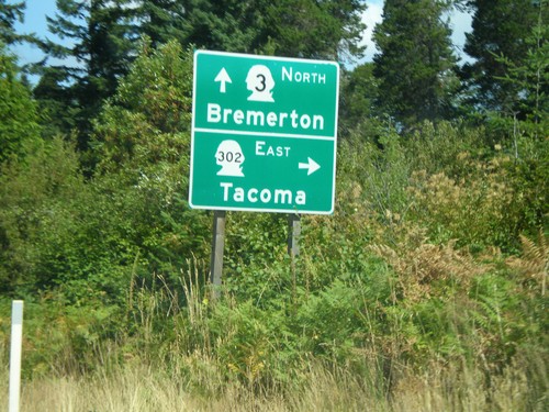
WA-3 north at WA-302 east to Tacoma

US-101 North at WA-3 North

US-101 North at WA-3 North

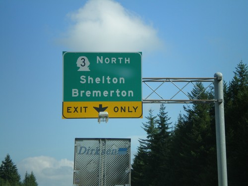
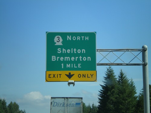
US-101 north at WA-3 North/Shelton/Bremerton

US-101 North Approaching WA-3

US-101 North Approaching WA-3

US-101 north approaching WA-3 North/Shelton/Bremerton

US-101 North - Shelton Exits

US-101 North - Shelton Exits

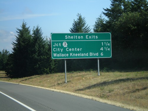
Shelton Exits on US-101 north.

US-101 North - WA-108 West Exit

US-101 North - WA-108 West Exit

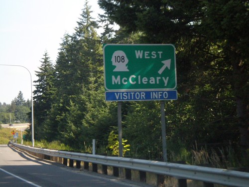
US-101 north at WA-108 West/McCleary exit

US-101 North at WA-8 West Exit

US-101 North at WA-8 West Exit

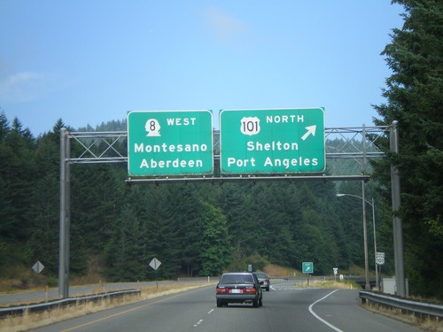
US-101 north to Shelton and Port Angeles at WA-8 west to Montesano and Aberdeen.
US-101 North Approaching WA-8 Exit

US-101 North Approaching WA-8 Exit

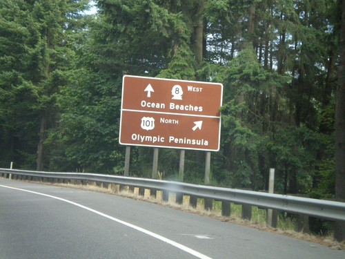
US-101 north approaching WA-8 west. Use WA-8 West for Ocean Beaches. Use US-101 North for Olympic Peninsula.
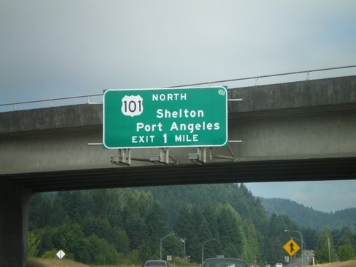
US-101 North Approaching WA-8

US-101 North Approaching WA-8

US-101 north approaching WA-8 junction. Overhead for US-101 North/Shelton/Port Angeles. US-101 north traffic needs to exit.
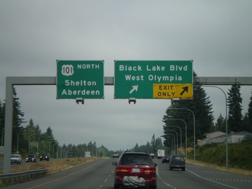
US-101 North - 2nd Ave. SW Exit

US-101 North - 2nd Ave. SW Exit

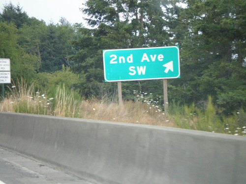
US-101 north at 2nd Ave. SW exit.

US-101 North - Mud Bay Road Exit

US-101 North - Mud Bay Road Exit

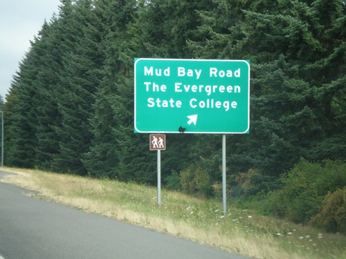
US-101 north at Mud Bay Road/The Evergreen State College exit.

US-101 North - Black Lake Blvd. Exit

US-101 North - Black Lake Blvd. Exit

US-101 north at Black Lake Blvd./West Olympia exit. Overhead for US-101 north to Shelton and Aberdeen.
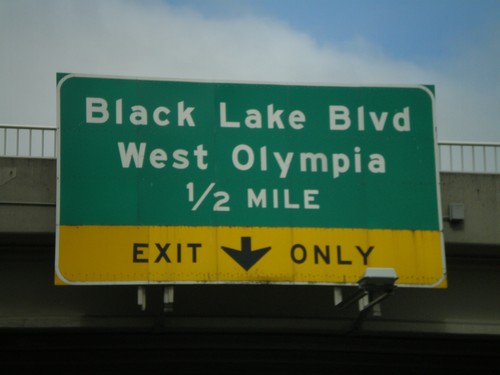
US-101 North Approaching Black Lake Blvd. Exit

US-101 North Approaching Black Lake Blvd. Exit

US-101 north approaching Black Lake Blvd./West Olympia exit.
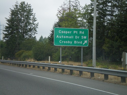
US-101 North - Cooper Pt. Road Exit

US-101 North - Cooper Pt. Road Exit

US-101 north at Cooper Point Road/Automall Drive SW/Crosby Blvd. exit.
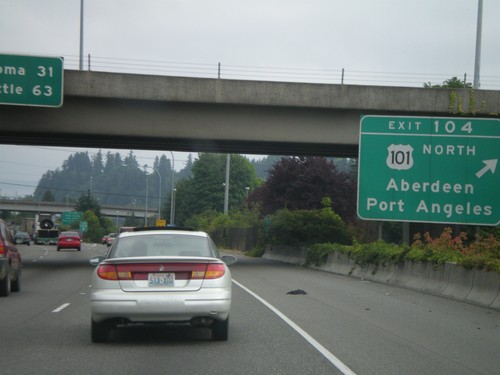
I-5 North Exit 104

I-5 North Exit 104

I-5 north at Exit 104 - US-101 North/Olympia/Port Angeles. Overhead distance marker for Tacoma and Seattle.
I-5 North - Exit 104

I-5 North - Exit 104

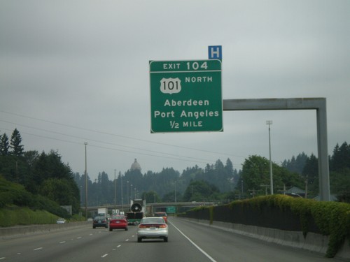
I-5 north approaching Exit 104 - US-101 North/Aberdeen/Port Angeles

I-5 North - Exit 103

I-5 North - Exit 103

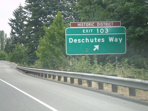
I-5 north at Exit 103 - Deschutes Way

I-5 North - Olympia Exits

I-5 North - Olympia Exits

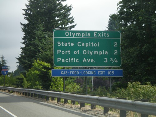
Olympia exits on I-5 north.

I-5 North - Exit 102

I-5 North - Exit 102

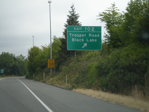
I-5 north at Exit 102 - Trosper Road/Black Lake

I-5 North - Exit 101

I-5 North - Exit 101

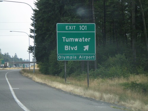
I-5 north at Exit 101 - Tumwater Blvd. Use Exit 101 for the Olympia Airport.

I-5 North - Tumwater Exits

I-5 North - Tumwater Exits

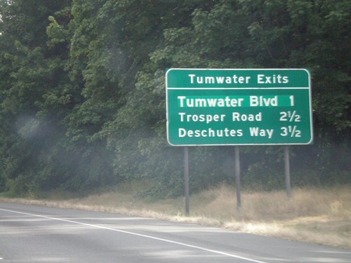
Tumwater Exits on I-5 north. Tumwater is a suburb of Olympia.

I-5 North - Exit 95

I-5 North - Exit 95

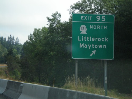
I-5 north at Exit 95 - WA-121 North/Littlerock/Maytown

I-5 North - Exit 88B

I-5 North - Exit 88B

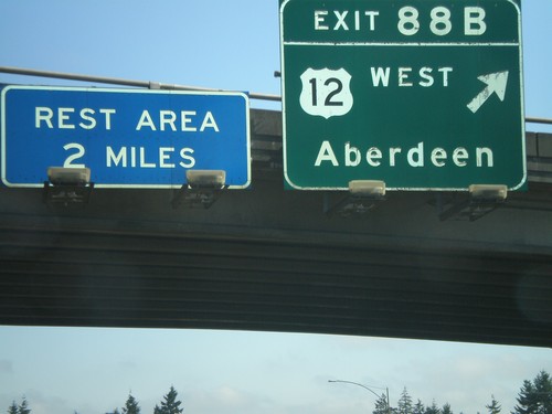
I-5 north at Exit 88B - US-12 West/Aberdeen

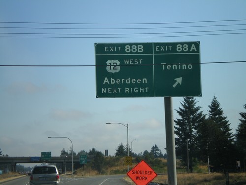
I-5 North - Exit 88A and Exit 88B

I-5 North - Exit 88A and Exit 88B

I-5 north at Exit 88A - Tenino. Approaching Exit 88B - US-12 West/Aberdeen.
I-5 North - Exit 82

I-5 North - Exit 82

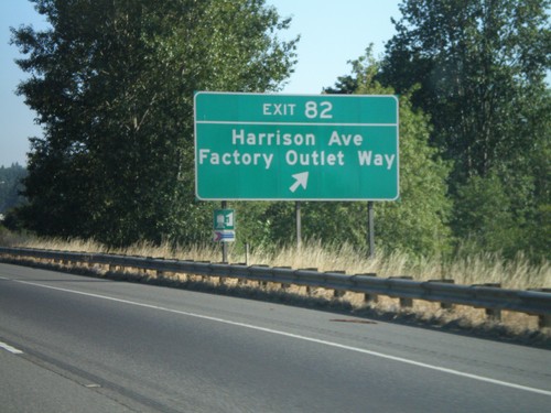
I-5 north at Exit 82 - Harrison Ave./Factory Outlet Way

I-5 North - Exit 81

I-5 North - Exit 81

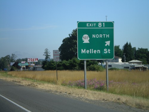
I-5 north at Exit 81 - WA-507 North/Mellen St.

I-5 North - Exit 79

I-5 North - Exit 79

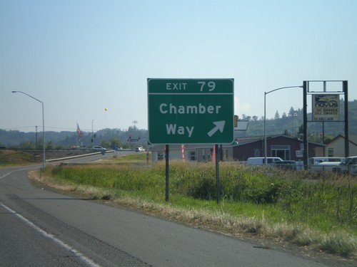
I-5 north at Exit 79 - Chamber Way

I-5 North - Exit 77

I-5 North - Exit 77

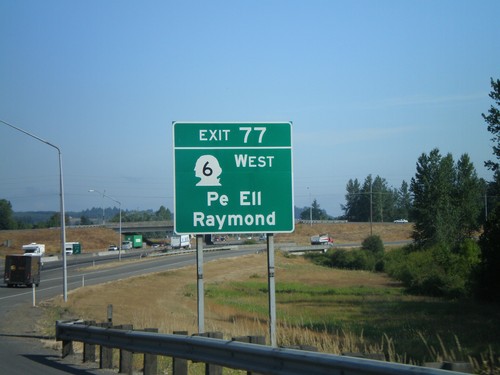
I-5 north at Exit 77 - WA-6 West/Pe Ell/Raymond

I-5 North - Exit 76

I-5 North - Exit 76

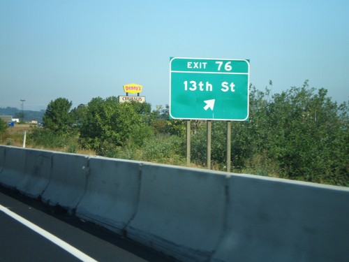
I-5 north at Exit 76 - 13th St.

I-5 North - Exit 72

I-5 North - Exit 72

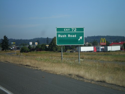
I-5 north at Exit 72 - Rush Road

I-5 North - Exit 71

I-5 North - Exit 71

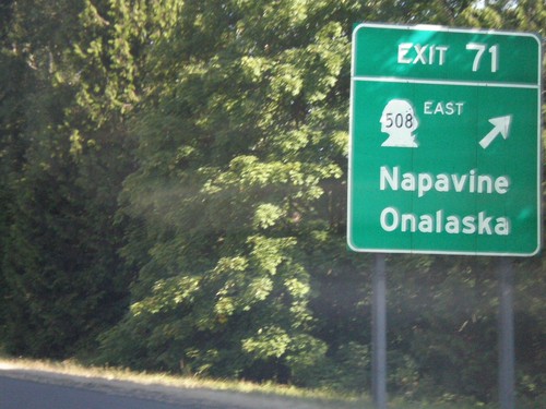
I-5 north at Exit 71 - WA-508/Napavine/Onalaska

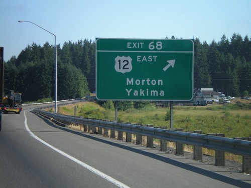
I-5 North - Exit 68

I-5 North - Exit 68

I-5 north at Exit 68 - US-12 East/Morton/Yakima. US-12 west joins I-5 north to Tenino.
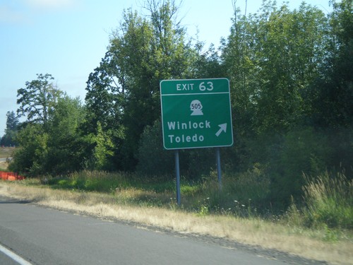
I-5 North - Exit 63

I-5 North - Exit 63

I-5 north at Exit 63 - WA-505/Winlock/Toledo

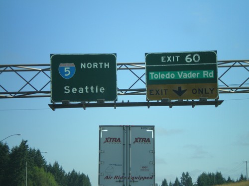
I-5 North - Exit 60

I-5 North - Exit 60

I-5 north at Exit 60 - Toledo Vader Road. Overhead for I-5 north to Seattle.

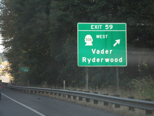
I-5 North - Exit 59

I-5 North - Exit 59

I-5 north at Exit 59 - WA-506 West/Vader/Ryderwood

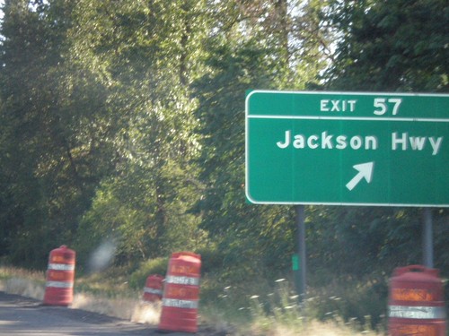
I-5 North - Exit 57

I-5 North - Exit 57

I-5 north at Exit 57 - Jackson Highway. The actual interchange is in Lewis County, but the offramp where this picture was taken is in Cowlitz County.
I-5 North - Distance Overhead

I-5 North - Distance Overhead

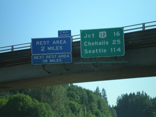
I-5 overhead with distance marker to US-12, Chehalis, and Seattle. Rest Area with Wi-Fi access in 2 miles.
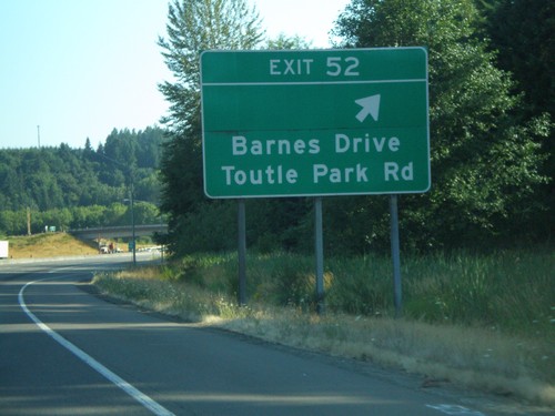
I-5 North - Exit 52

I-5 North - Exit 52

I-5 north at Exit 52 - Barnes Drive/Toutle Park Road

I-5 Nort - Exit 49

I-5 Nort - Exit 49

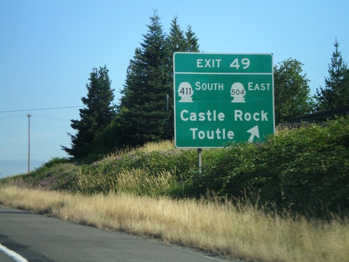
I-5 north at Exit 49 - WA-411 South/WA-504 East/Castle Rock/Toutle

I-5 North Approaching Exit 49

I-5 North Approaching Exit 49

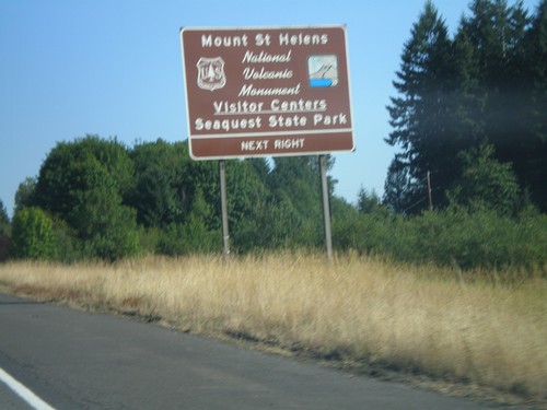
I-5 north approaching Exit 49. Use Exit 49 for Mt. St. Helens Visitors Center and Seaquest State Park.
I-5 North - Exit 48

I-5 North - Exit 48

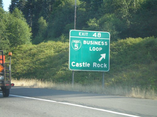
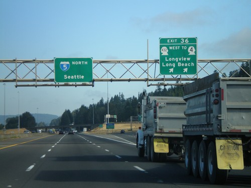
I-5 north at Exit 48 - BL-5/Castle Rock

I-5 North - Exit 46

I-5 North - Exit 46

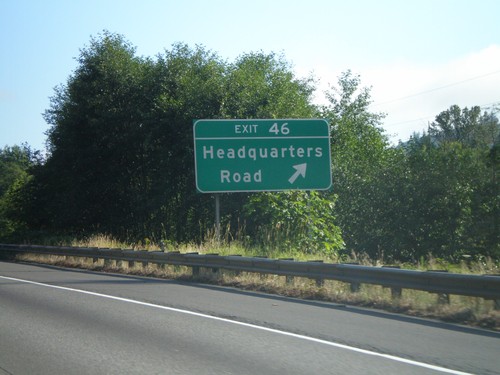
I-5 north at Exit 46 - Headquarters Road

I-5 North - Exit 42

I-5 North - Exit 42

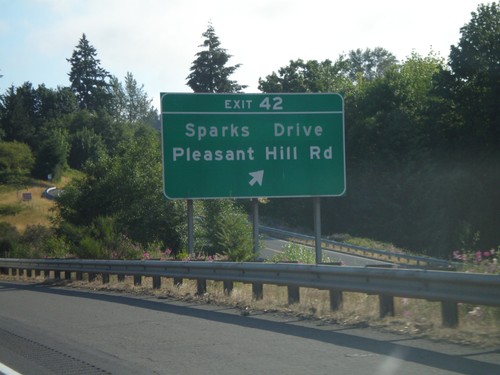
I-5 north at Exit 42 - Sparks Drive/Pleasant Hill Road

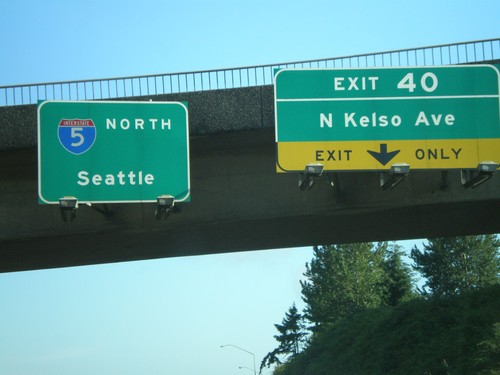
I-5 North - Exit 40

I-5 North - Exit 40

I-5 north at Exit 40 - N. Kelso Ave. Overhead for I-5 north to Seattle.

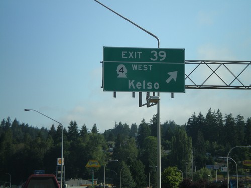
I-5 North - Exit 39

I-5 North - Exit 39

I-5 north at Exit 39 - WA-4 West/Kelso

I-5 North - Exit 36

I-5 North - Exit 36

I-5 north at Exit 36 - WA-432 West/To WA-4/Longview/Long Beach. Overhead for I-5 North to Seattle.
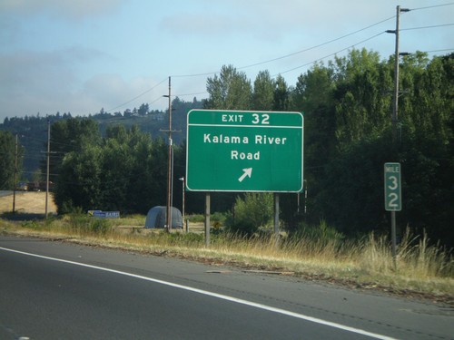
I-5 North - Exit 32

I-5 North - Exit 32

I-5 north at Exit 32 - Kalama River Road

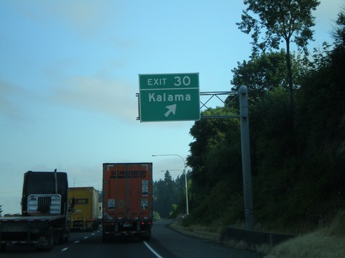
I-5 North - Exit 30

I-5 North - Exit 30

I-5 north at Exit 30 - Kalama

I-5 North - Exit 27

I-5 North - Exit 27

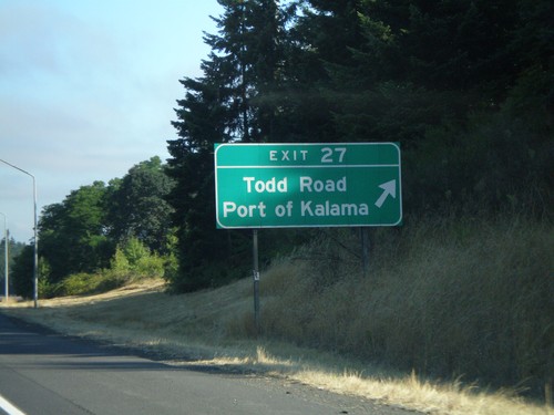
I-5 north at Exit 27 - Todd Road/Port of Kalama

I-5 North - Exit 21

I-5 North - Exit 21

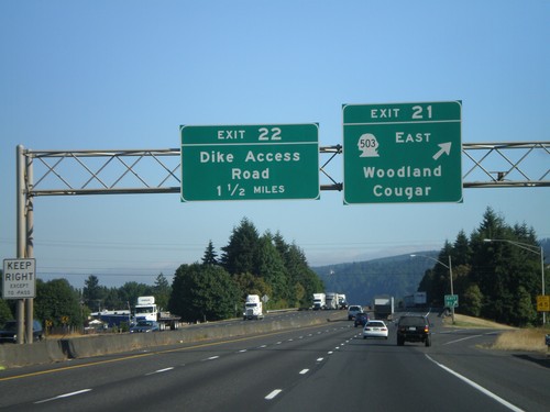
I-5 north at Exit 21 - WA-503 East/Woodland/Cougar. Approaching Exit 22 - Dike Access Road.
I-5 North - Exit 16

I-5 North - Exit 16

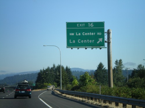
I-5 north at Exit 16 - NW La Center Road/La Center

I-5 North - Exit 14

I-5 North - Exit 14

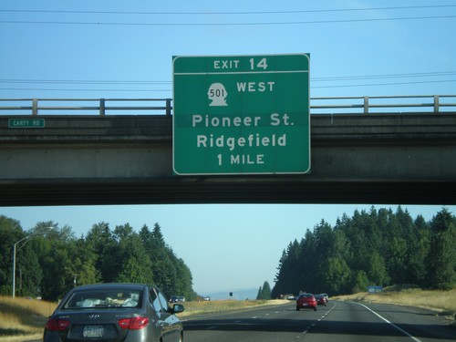
I-5 north approaching Exit 14 - WA-501 West/Pioneer St./Ridgefield

I-5 North - Exit 9

I-5 North - Exit 9

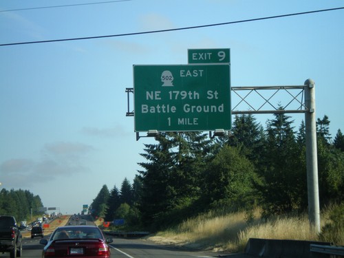
I-5 north approaching Exit 9 - WA-502 East/NE 179th St./Battle Ground

I-5 North - Exit 7

I-5 North - Exit 7

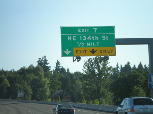
I-5 north approaching Exit 7 - NE 134th St.

I-5 North - Exit 5

I-5 North - Exit 5

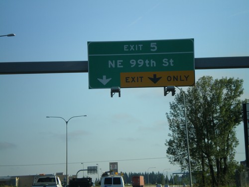
I-5 north at Exit 5 - NE 99th St.

I-5 North - Exit 4

I-5 North - Exit 4

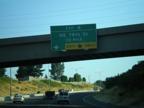
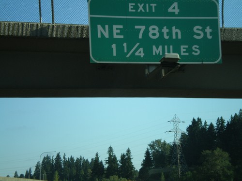
I-5 north approaching Exit 4 - NE 78th St.

I-5 North - Exit 4

I-5 North - Exit 4

I-5 north approaching Exit 4 - NE 78th St.

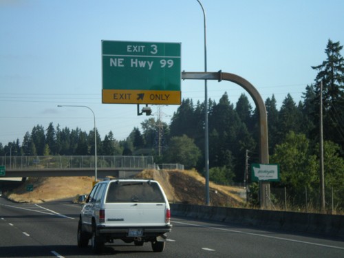
I-5 North - Exit 3

I-5 North - Exit 3

I-5 north approaching Exit 3 - NE Hwy. 99. The first Washington welcome sign is attached to the bottom of the overhead.
I-5 North - Exit 2

I-5 North - Exit 2

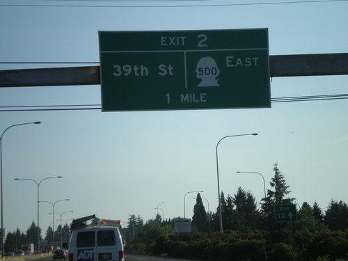
I-5 north approaching Exit 2 - WA-500 East/39th St.

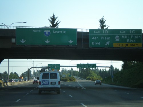
I-5 North - Exit 1C and Exit 1D

I-5 North - Exit 1C and Exit 1D

I-5 north at Exit 1C - WA-501/Mill Plain Blvd./Port of Vancouver and Exit 1D - 4th Plain Blvd.
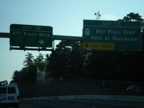
I-5 North - Exit 1C and Exit 1D

I-5 North - Exit 1C and Exit 1D

I-5 north approaching Exit 1C - WA-501/Mill Plain Blvd./Port of Vancouver and Exit 1D - 4th Plain Blvd.
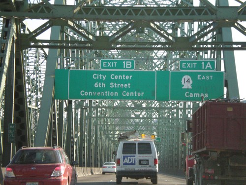
I-5 North - Exit 1A and Exit 1B (Washington)

I-5 North - Exit 1A and Exit 1B (Washington)

I-5 north approaching Washington Exit 1A - WA-14 East/Camas and Exit 1B - City Center/6th St./Convention Center. Taken on Interstate Bridge over Columbia River.
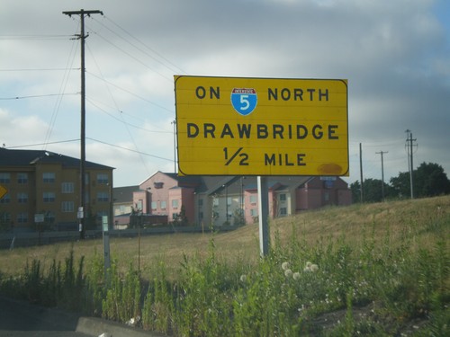
I-5 North Exit 307 Onramp - Drawbridge

I-5 North Exit 307 Onramp - Drawbridge

Exit 307 onramp onto I-5 north. Warning sign for drawbridge on I-5 north over the Columbia River.
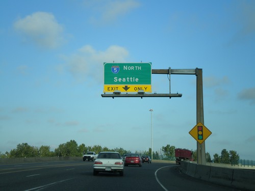
Marine Drive West at I-5 North

Marine Drive West at I-5 North

Marine Drive west at I-5 north onramp to Seattle.

Marine Drive West Approaching I-5 North

Marine Drive West Approaching I-5 North

Marine Drive west approaching I-5 north onramp (Exit 307) towards Seattle.
I-84 West - Exit 87

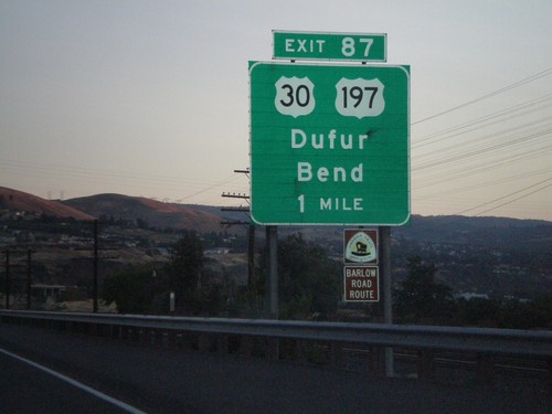
I-84 West - Exit 87

I-84 west approaching Exit 87 - US-30/US-197/Dufur/Bend

I-84 West - Exit 88

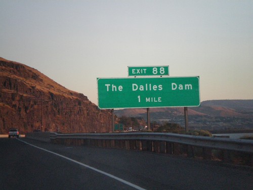
I-84 West - Exit 88

I-84 west approaching Exit 88 - The Dalles Dam

I-84 West - Exit 97

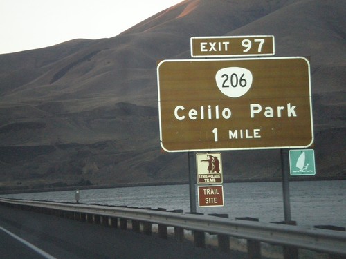
I-84 West - Exit 97

I-84 west approaching Exit 97 - OR-206/Celilo Park

I-84 West Exit 104 Offramp at US-97

I-84 West Exit 104 Offramp at US-97

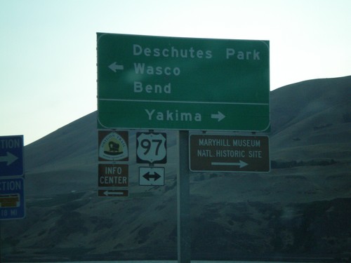
I-84 west Exit 104 offramp at US-97. Use US-97 north for Yakima. Use US-97 south for Deschutes Park/Wasco/Bend.
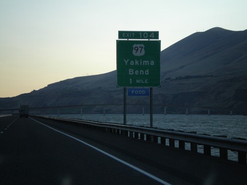
I-84 West - Exit 104

I-84 West - Exit 104

I-84 west approaching Exit 104 - US-97/Yakima/Bend

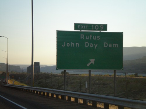
I-84 West - Exit 109

I-84 West - Exit 109

I-84 west at Exit 109 - Rufus/John Day Dam

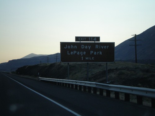
I-84 West - Exit 114

I-84 West - Exit 114

I-84 west approaching Exit 114 - John Day River/LePage Park

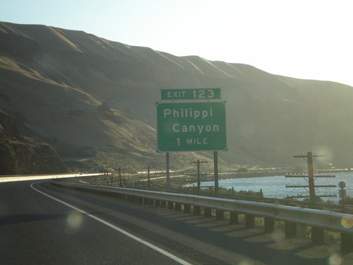
I-84 West - Exit 123

I-84 West - Exit 123

I-84 west approaching Exit 123 - Philippi Canyon

I-84 West - Exit 129

I-84 West - Exit 129

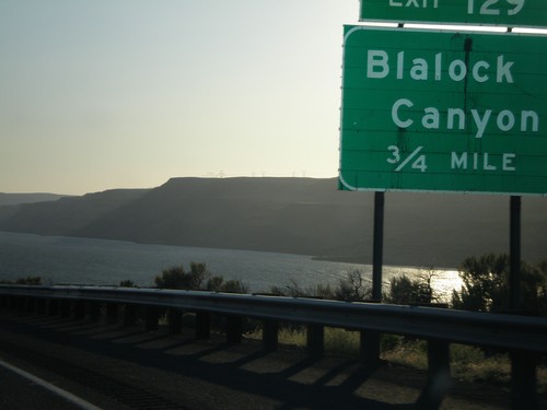
I-84 west approaching Exit 129 - Blalock Canyon

I-84 West - Exit 137

I-84 West - Exit 137

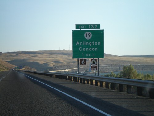
I-84 west approaching Exit 137 - OR-19/Arlington/Condon

I-84 West - Exit 147

I-84 West - Exit 147

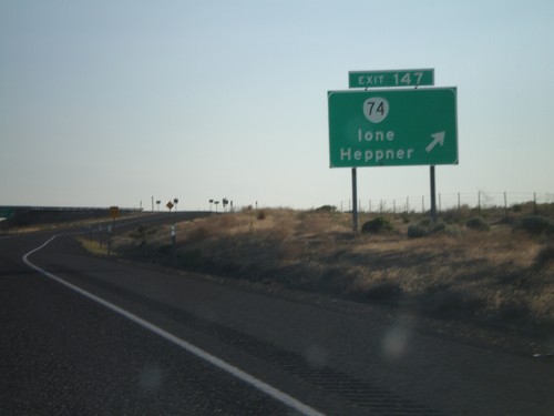
I-84 west at Exit 147 - OR-74/Ione/Heppner

I-84 West - Exit 151

I-84 West - Exit 151

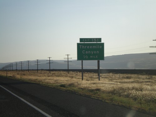
I-84 west approaching Exit 151 - Threemile Canyon

I-84 West - Exit 159

I-84 West - Exit 159

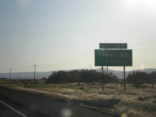
I-84 west approaching Exit 159 - Tower Road

I-84 West - Exit 164

I-84 West - Exit 164

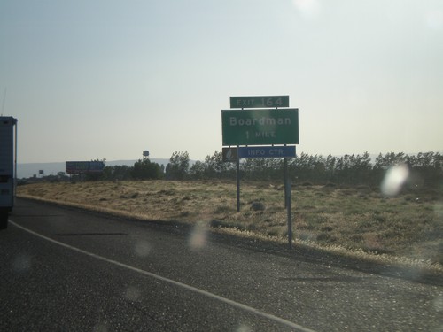
I-84 west approaching Exit 164 - Boardman

I-84 West - Exit 165

I-84 West - Exit 165

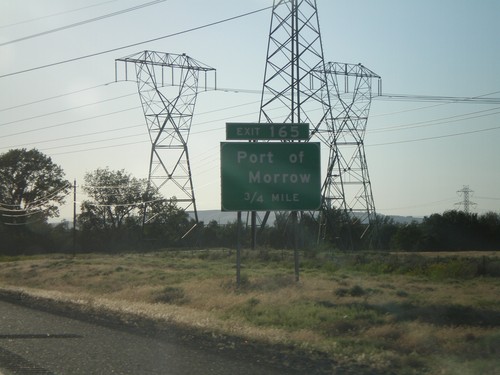
I-84 west approaching Exit 165 - Port of Morrow

I-84 West - Exit 168

I-84 West - Exit 168

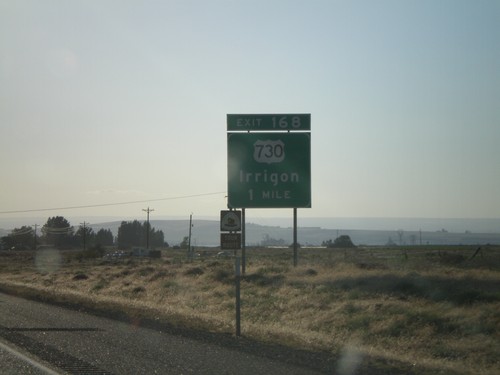
I-84 west approaching Exit 168 - US-730/Irrigon

I-84 West - Exit 171

I-84 West - Exit 171

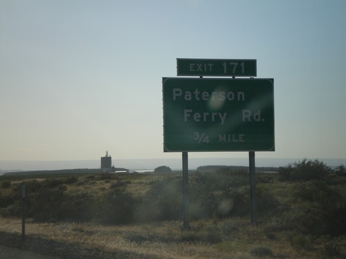
I-84 west approaching Exit 171 - Patterson Ferry Road

I-84 West - Exit 177

I-84 West - Exit 177

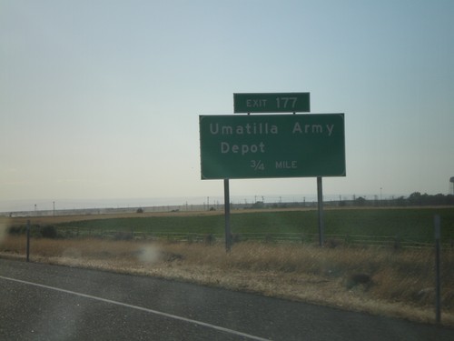
I-84 west approaching Exit 177 - Umatilla Army Depot

I-84 West - Exit 213

I-84 West - Exit 213

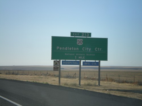
I-84 west approaching Exit 213 - US-30/Pendleton City Center/National Historic District
I-84 West - Exit 257

I-84 West - Exit 257

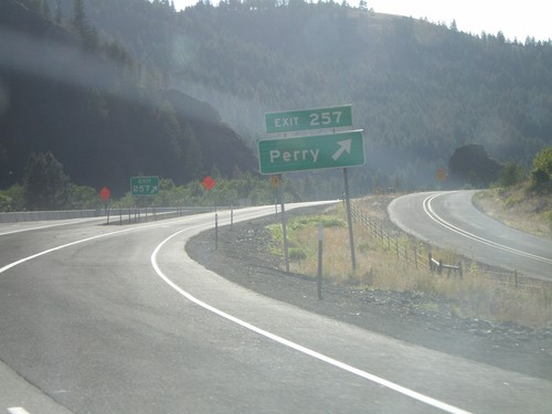
I-84 west at Exit 257 - Perry

I-84 West - Exit 257

I-84 West - Exit 257

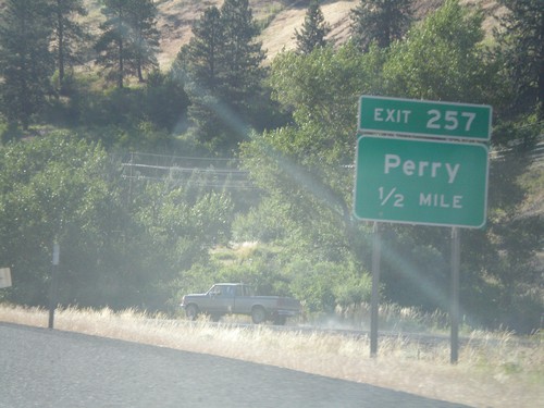
I-84 west approaching Exit 257 - Perry

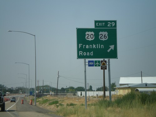
I-84 West - Exit 29

I-84 West - Exit 29

I-84/US-30 west at Exit 29 - US-20/US-26/Franklin Road. US-20/US-26 join I-84 west through Caldwell.
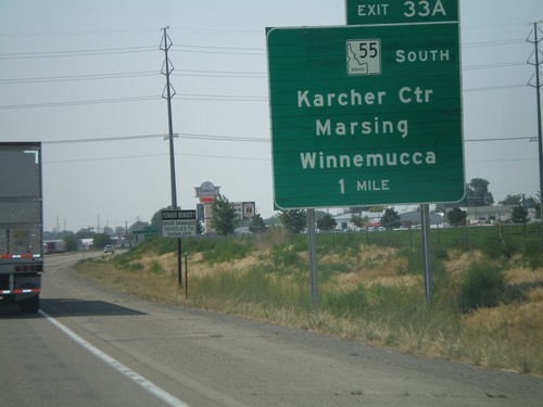
I-84 West - Exit 33A

I-84 West - Exit 33A

I-84 west approaching Exit 33A - ID-55 South/Karcher Center/Marsing/Winnemucca. ID-55 south leaves I-84 westbound.
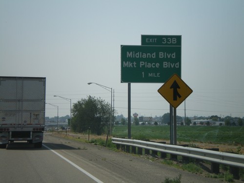
I-84 West - Exit 33B

I-84 West - Exit 33B

I-84 west approaching Exit 338 - Midland Blvd./Market Place Blvd.

I-84 East Exit 38

I-84 East Exit 38

I-84 east at Exit 38 - BL-84/Idaho Center Blvd./Garrity Blvd./Murphy

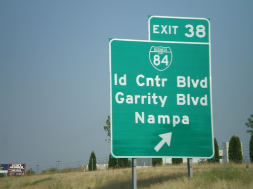
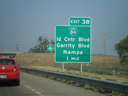
I-84 East Approaching Exit 38

I-84 East Approaching Exit 38

I-84 east approaching Exit 38 - BL-84/Idaho Center Blvd./Garrity Blvd./Nampa
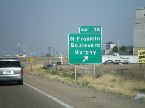
I-84 East Exit 36

I-84 East Exit 36

I-84 east at Exit 36 - N. Franklin Blvd./Murphy. The exit text was changed in 2007 from Franklin Blvd.
ID-55 North at I-84

ID-55 North at I-84

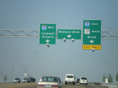
ID-55 east at I-84. Take I-84 west to Caldwell and Ontario. I-84 east towards Boise. ID-55 joins I-84 east to Meridian. This is a new interchange, completed in 2007. Before this, all ID-55 traffic was routed through downtown Nampa to get to the interstate.
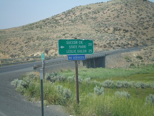
US-95 North at Succor Creek

US-95 North at Succor Creek

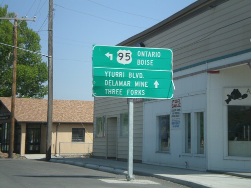
US-95 north at turnoff to Succor Creek State Park and Leslie Gulch.

US-95 North in Jordan Valley

US-95 North in Jordan Valley

US-95 north (Main St.) at Bassett St. Turn north to continue on US-95 north to Ontario and Boise.
US-95 North at OR-78 West

US-95 North at OR-78 West

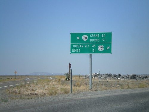
US-95 north at OR-78 west. Merge left for OR-78 to Burns and Crane. Merge right for US-95 to Jordan Valley and Boise.
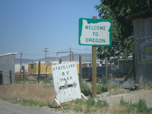
Welcome To Oregon - US-95 North

Welcome To Oregon - US-95 North

Welcome To Oregon on US-95 North at the Nevada border.

US-95 North at NV-293

US-95 North at NV-293

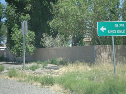
US-95 north at NV-293 west to Kings River. The only mention of NV-293 is the text on the destination sign "SR-293." There are no NV-293 guide signs approaching this junction from either direction. Must Nevada junctions have advanced signage with proper route shields.
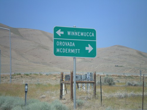
US-95 North Approaching NV-290

US-95 North Approaching NV-290

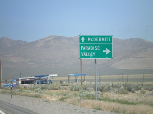
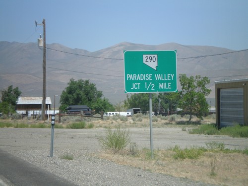
US-95 north at NV-290 north to Paradise Valley.

US-95 North at NV-290

US-95 North at NV-290

US-95 north approaching NV-290 to Paradise Valley.

End NV-795 West at US-95

End NV-795 West at US-95

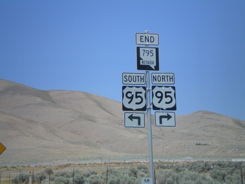
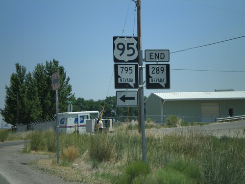
End NV-795 west at US-95 north to Orovada and McDermitt, and US-95 south to Winnemucca.
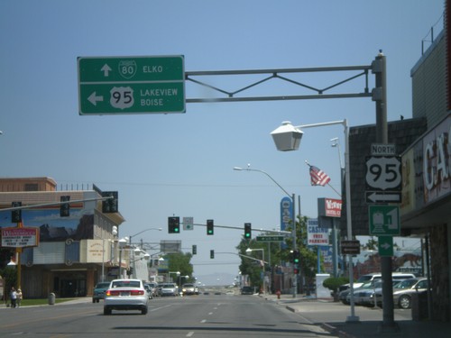
End NV-795 West at US-95

End NV-795 West at US-95

End NV-795 west at US-95.

NV-795 West to US-95

NV-795 West to US-95

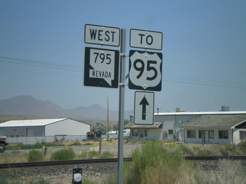
NV-795 west to US-95.

End NV-289 at NV-795 to US-95

End NV-289 at NV-795 to US-95

End NV-289 east at NV-795 to US-95.

NV-289 Approaching NV-795

NV-289 Approaching NV-795

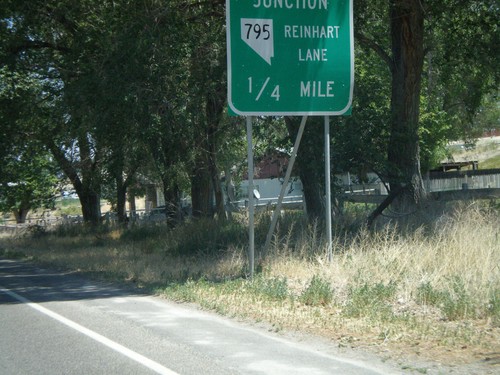
End NV-289 approaching NV-795/Reinhart Lane

BL-80/NV-289 at NV-794

BL-80/NV-289 at NV-794

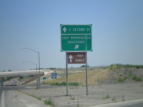
BL-80/NV-289 (E. Second St.) at NV-794 (East Winnemucca Blvd.)

BL-80/NV-289 East at NV-794

BL-80/NV-289 East at NV-794

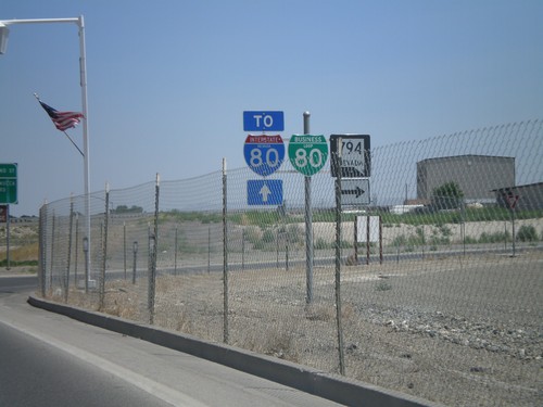
BL-80/NV-289 east at NV-794. Continue on BL-80/NV-289 for I-80.

US-95 North/BL-80 in Winnemucca

US-95 North/BL-80 in Winnemucca

BL-80 East/US-95 North (Winnemucca Blvd.) at US-95 north Melarkey St. Continue straight for BL-80 to Elko. Turn left for US-95 to Lakeview (OR) and Boise(ID).
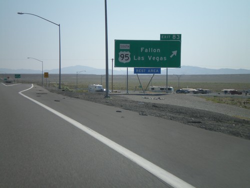
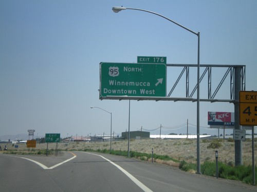
I-80 East Exit 176

I-80 East Exit 176

I-80 east at Exit 176 - US-95 North/Winnemucca/Downtown West

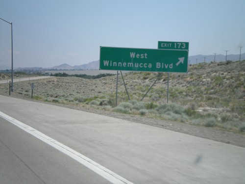
I-80 East Exit 173

I-80 East Exit 173

I-80 east at Exit 173 - West Winnemucca Blvd.

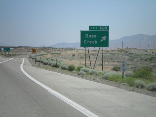
I-80 East Exit 168

I-80 East Exit 168

I-80 east at Exit 168 - Rose Creek

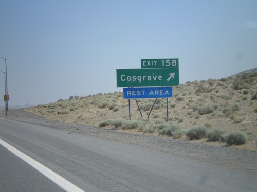
I-80 East Exit 158

I-80 East Exit 158

I-80 east at Exit 158 - Cosgrave

I-80 East Exit 151

I-80 East Exit 151

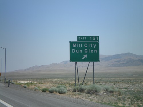
I-80 east at Exit 151 - Mill City/Dun Glen

I-80 East Exit 149

I-80 East Exit 149

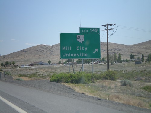
I-80 east at Exit 149 - NV-400/Mill City/Unionville

I-80 East Exit 145

I-80 East Exit 145

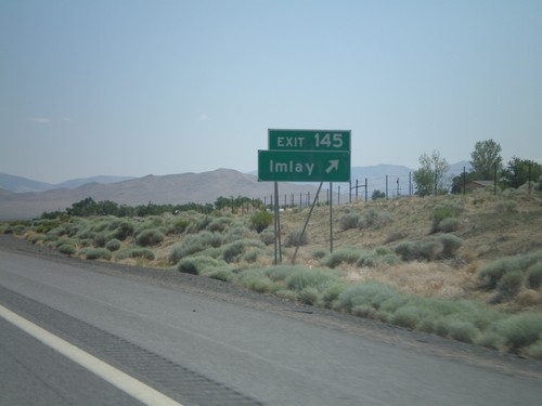
I-80 east at Exit 145 - Imlay

I-80 East Exit 138

I-80 East Exit 138

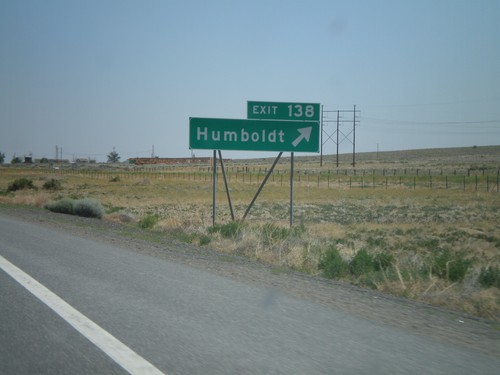
I-80 east at Exit 138 - Humboldt

I-80 East Exit 129

I-80 East Exit 129

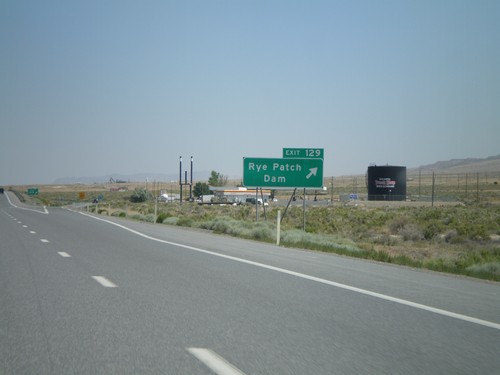
I-80 east at Exit 129 - Rye Patch Dam

I-80 East Exit 119

I-80 East Exit 119

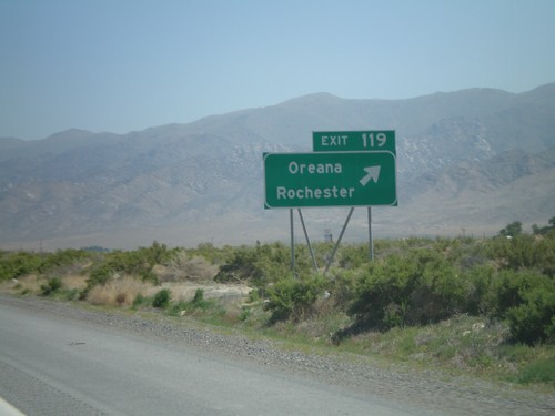
I-80 east at Exit 119 - Oreana/Rochester

I-80 East Exit 112

I-80 East Exit 112

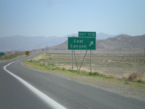
I-80 east at Exit 112 - Coal Canyon

I-80 East Exit 105

I-80 East Exit 105

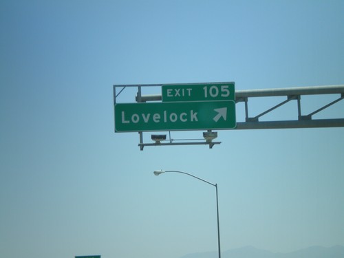
I-80 east at Exit 105 - Lovelock

I-80 East Exit 93

I-80 East Exit 93

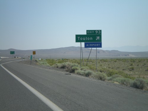
I-80 east at Exit 93 - Toulon

I-80 East Exit 83

I-80 East Exit 83

I-80 east at Exit 83 - US-95 South/Fallon/Las Vegas. US-95 north joins I-80 east to Winnemucca.
I-80 East Exit 78

I-80 East Exit 78

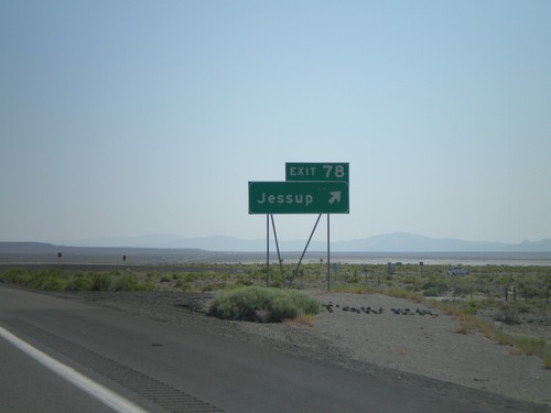
I-80 east at Exit 78 - Jessup

I-80 East Exit 65

I-80 East Exit 65

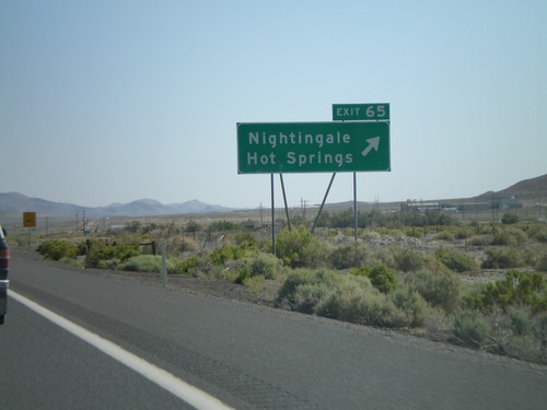
I-80 east at Exit 65 - Nightingale/Hot Springs

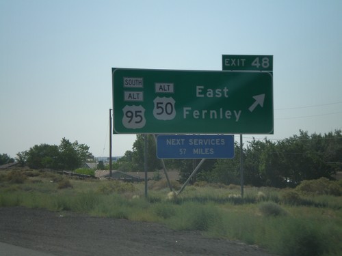
I-80 East Exit 48

I-80 East Exit 48

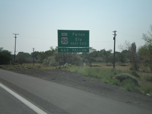
I-80 east at Exit 48 - Alt. US-95 South/Alt. US-50/East Fernely. Next services on I-80 east are 57 miles.
I-80 East Approaching Exit 48

I-80 East Approaching Exit 48

I-80 east approaching Exit 48. Use Exit 48 for Fallon and Ely via Alt. US-50 east.
I-80 East Exit 46

I-80 East Exit 46

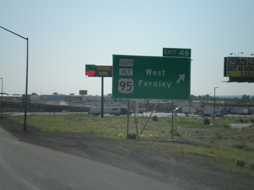
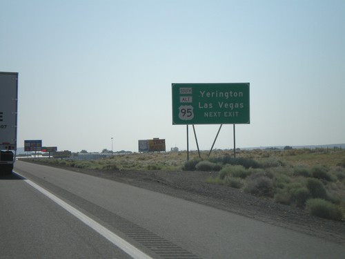
I-80 east at Exit 46 - US-95 Alt South/West Fernley

I-80 East Approaching Exit 46

I-80 East Approaching Exit 46

I-80 east approaching Exit 46. Use Exit 46 for Las Vegas and Yerrington via Alt. US-95 South.
I-80 East Approaching Exit 46

I-80 East Approaching Exit 46

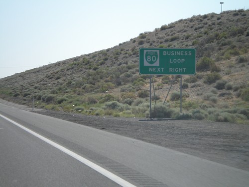
I-80 east approaching Exit 46. Use Exit 46 for Bus. I-80 through Fernley.
I-80 East - Storey County Line

I-80 East - Storey County Line

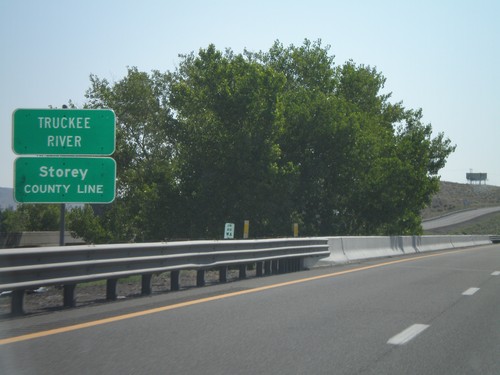
I-80 east at Storey County Line and Truckee River.

I-80 East Exit 43

I-80 East Exit 43

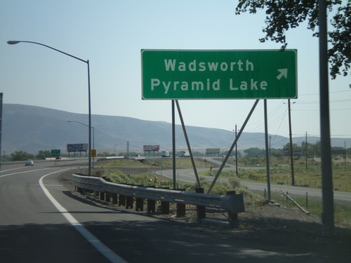
I-80 east at Exit 43 - Wadsworth/Pyramid Lake

I-80 East Exit 40

I-80 East Exit 40

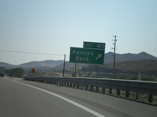
I-80 east at Exit 40 - Painted Rock

I-80 East Exit 38

I-80 East Exit 38

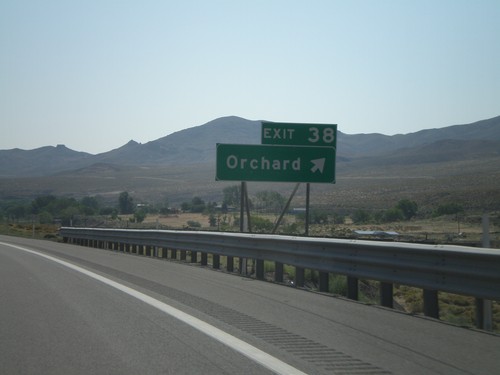
I-80 east at Exit 38 - Orchard

I-80 East Exit 32

I-80 East Exit 32

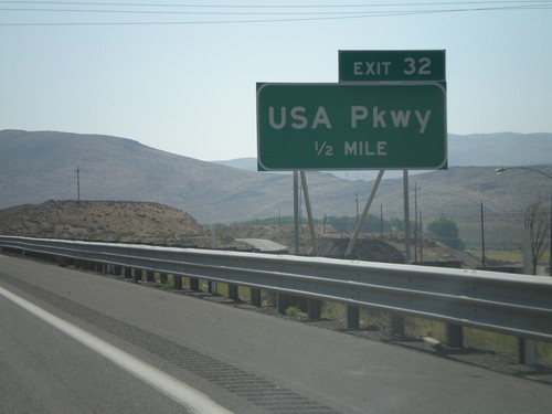
I-80 east approaching Exit 32 - USA Parkway. This replaces the Tracy/Clark Station exit, a half mile west of here.
I-80 East Exit 28

I-80 East Exit 28

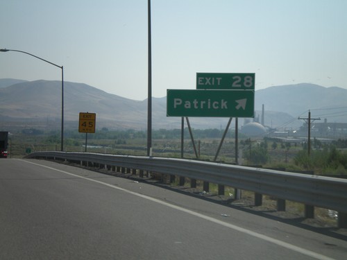
I-80 east at Exit 28 - Patrick

I-80 East Exit 23

I-80 East Exit 23

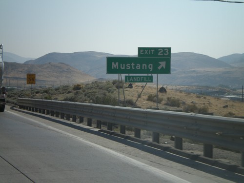
I-80 east at Exit 23 - Mustang

I-80 East Exit 22

I-80 East Exit 22

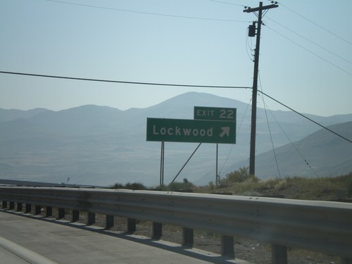
I-80 east at Exit 22 - Lockwood

I-80 East Exit 10

I-80 East Exit 10

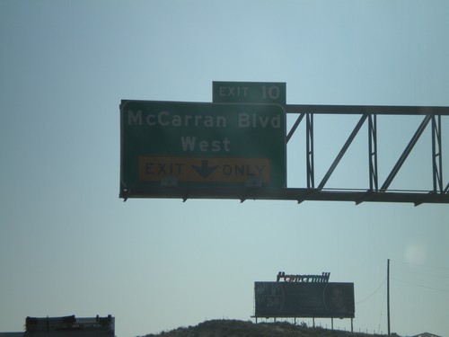
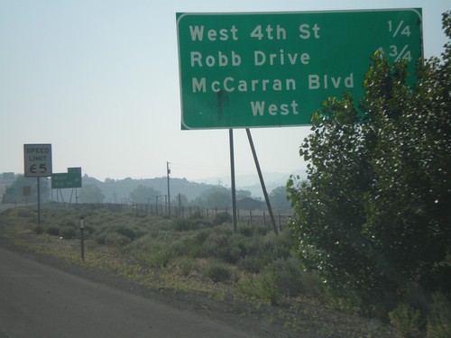
I-80 east approaching Exit 10 - McCarran Blvd. West

I-80 East Exit 9

I-80 East Exit 9

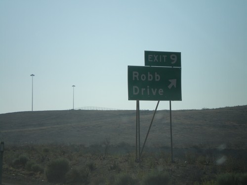
I-80 east at Exit 9 - Robb Drive

I-80 East - Reno Exits

I-80 East - Reno Exits

Exits on I-80 east near Reno.

I-80 East Exit 8

I-80 East Exit 8

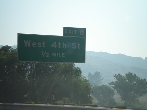
I-80 east approaching Exit 8 - West 4th St.

I-80 East Exit 7

I-80 East Exit 7

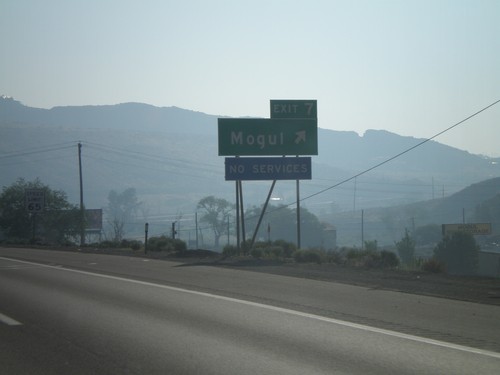
I-80 east at Exit 7 - Mogul

I-80 East Exit 4

I-80 East Exit 4

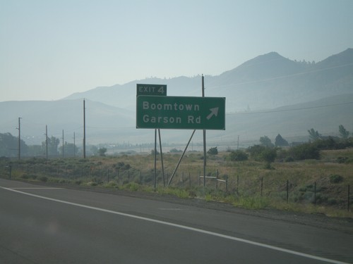
I-80 east at Exit 4 - Boomtown/Garson Road.

I-80 East Approaching Exit 2

I-80 East Approaching Exit 2

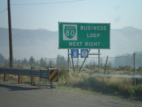
I-80 east approaching Exit 2 - Verdi. Use Exit 2 for Business Loop I-80.
I-80 East Exit 2

I-80 East Exit 2

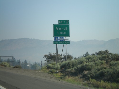
I-80 east approaching Exit 2 - Verdi. This is the first Nevada exit on I-80 eastbound.
I-80 East Exit 201

I-80 East Exit 201

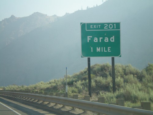
I-80 east approaching Exit 201 - Farad. This is the last California exit on I-80.

I-80 East Exit 199

I-80 East Exit 199

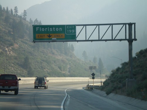
I-80 east approaching Exit 199 - Floriston

I-80 East Exit 188A and Exit 188B

I-80 East Exit 188A and Exit 188B

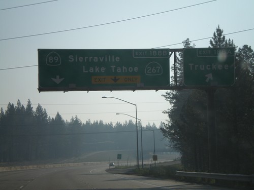
I-80 east at Exit 188A - Truckee and approaching Exit 188B - CA-89/Sierraville/CA-89/Lake Tahoe
I-80 East Exit 185

I-80 East Exit 185

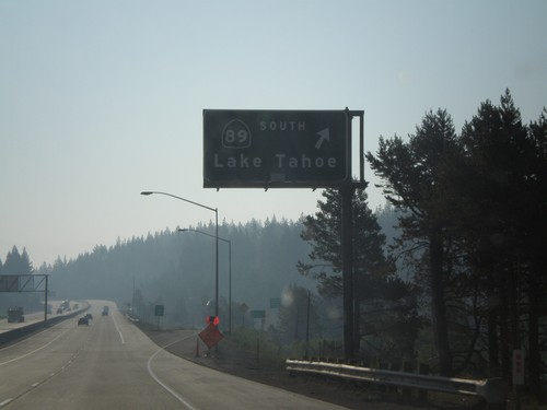
I-80 east at Exit 185 - CA-89 South/Lake Tahoe. The exit number has not yet been posted on this sign.
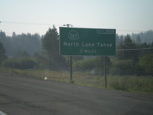
I-80 East Advanced Signage for CA-267

I-80 East Advanced Signage for CA-267

I-80 east approaching Exit 185 - CA-89 South/Lake Tahoe. Advanced signage for Exit 188B - CA-267/North Lake Tahoe.
I-80 East Exit 184

I-80 East Exit 184

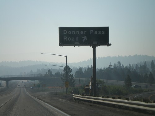
I-80 east at Exit 184 - Donner Pass Road

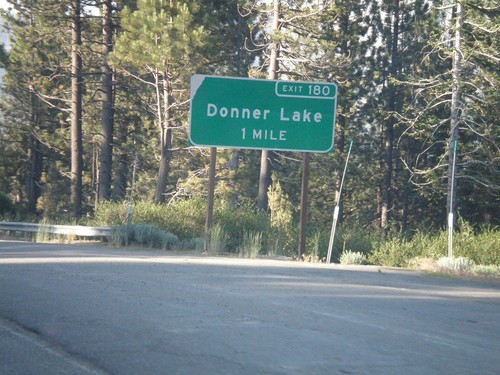
I-80 East Exit 180

I-80 East Exit 180

I-80 east approaching Exit 180 - Donner Lake

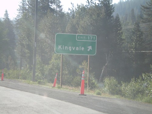
I-80 East Exit 171

I-80 East Exit 171

I-80 east at Exit 171 - Kingvale

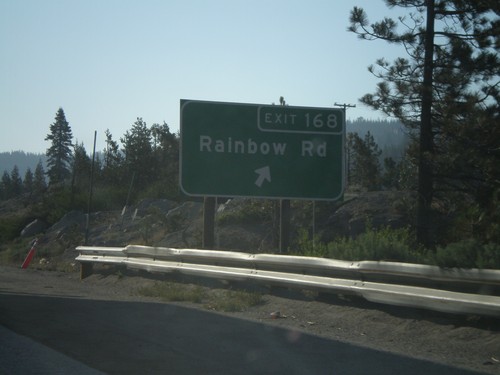
I-80 East Exit 168

I-80 East Exit 168

I-80 east at Exit 168 - Rainbow Road

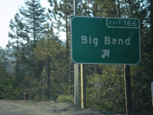
I-80 East Exit 166

I-80 East Exit 166

I-80 east at Exit 166 - Big Bend

I-80 East Exit 165

I-80 East Exit 165

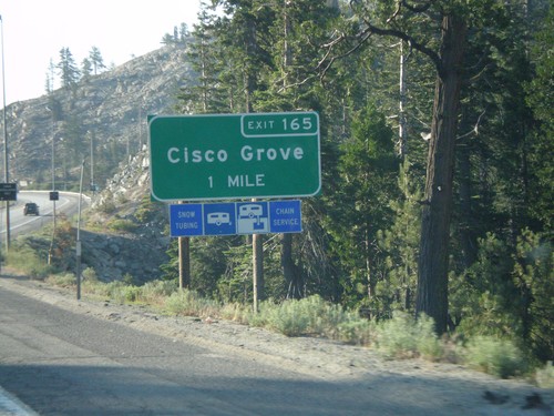
I-80 east approaching Exit 165 - Cisco Grove

I-80 East Exit 164

I-80 East Exit 164

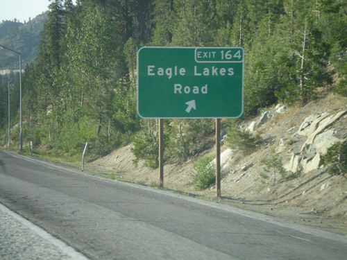
I-80 east at Exit 164 - Eagle Lakes Road

I-80 East Exit 161

I-80 East Exit 161

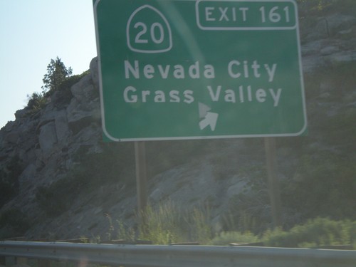
I-80 east at Exit 161 - CA-20/Nevada City/Grass Valley

I-80 East Exit 160

I-80 East Exit 160

I-80 east at Exit 160 - Yuba Gap

I-80 East Exit 158B

I-80 East Exit 158B

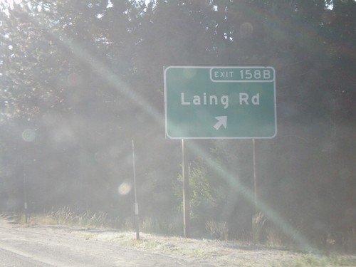
I-80 east at Exit 158B - Laing Road

I-80 East Exit 158A

I-80 East Exit 158A

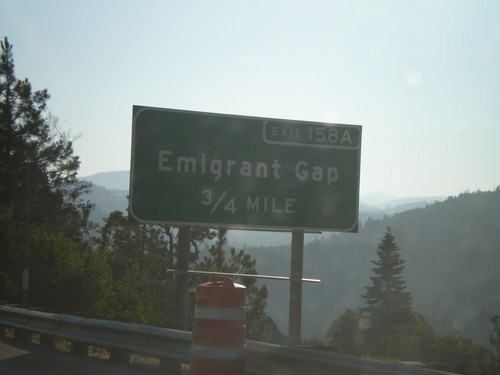
I-80 east approaching Exit 158A - Emigrant Gap

I-80 East Exit 155

I-80 East Exit 155

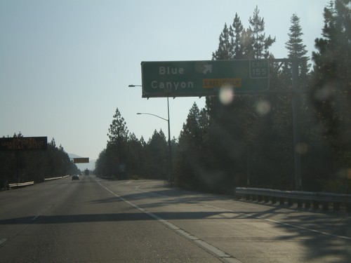
I-80 east at Exit 155 - Blue Canyon

I-80 East Exit 150

I-80 East Exit 150

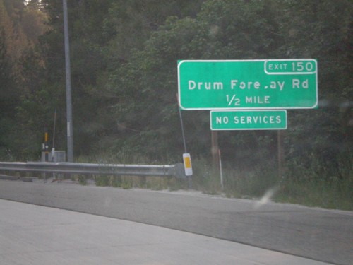
I-80 east approaching Exit 150 - Drum Forebay Road.

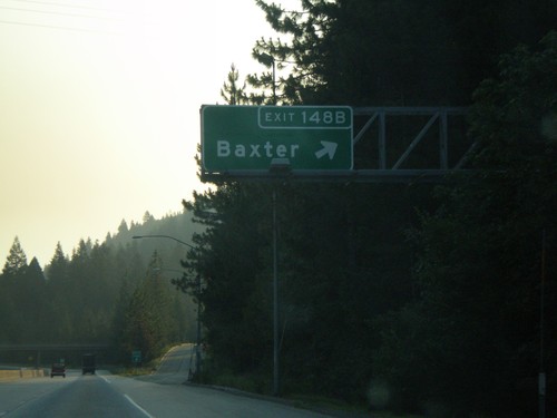
I-80 East Exit 148B

I-80 East Exit 148B

I-80 east at Exit 148B - Baxter

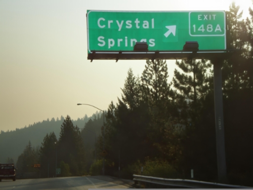
I-80 East Exit 148A

I-80 East Exit 148A

I-80 east at Exit 148A - Crystal Springs

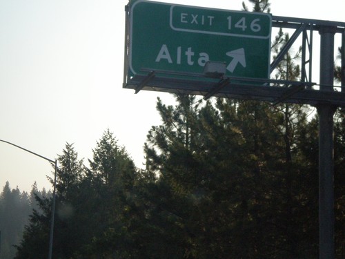
I-80 East Exit 146

I-80 East Exit 146

I-80 east at Exit 146 - Alta.

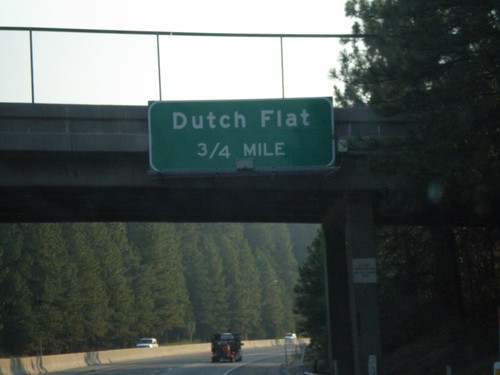
I-80 East Exit 145

I-80 East Exit 145

I-80 east approaching Exit 145 - Dutch Flat.

I-80 East Exit 143

I-80 East Exit 143

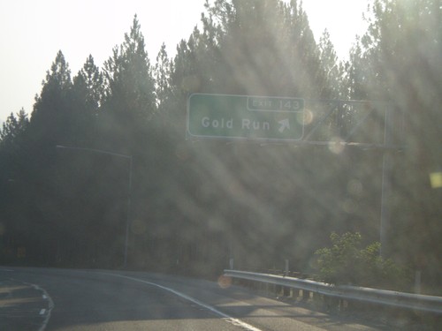
I-80 east at Exit 143 - Gold Run.

I-80 East Exit 140

I-80 East Exit 140

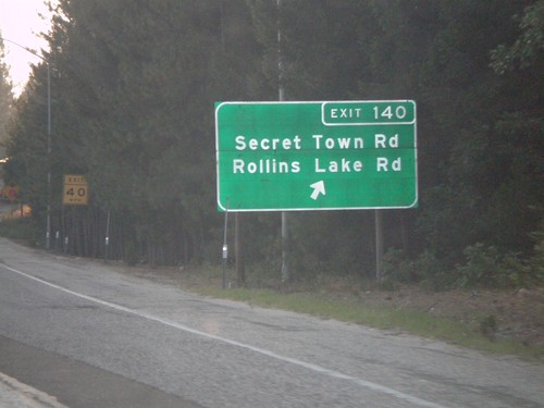
I-80 east at Exit 140 - Secret Town Road/Rollins Lake Road.

End CA-174 South at I-80 Freeway Entrance

End CA-174 South at I-80 Freeway Entrance

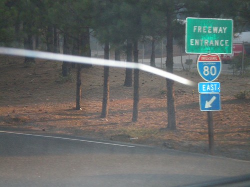
End CA-174 south at I-80 east freeway entrance.

I-80 East Exit 135

I-80 East Exit 135

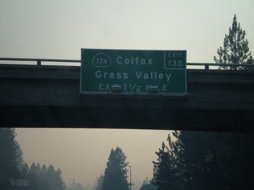
I-80 east approaching Exit 135 - CA-174/Colfax/Grass Valley.

I-80 East Exit 133

I-80 East Exit 133

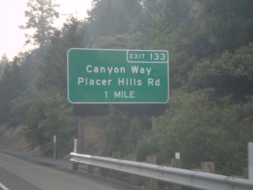
I-80 east approaching Exit 133 - Canyon Way/Placer Hills Road.

I-80 East Exit 131

I-80 East Exit 131

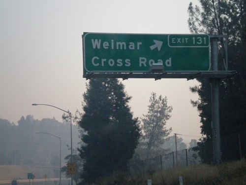
I-80 east at Exit 131 - Weimar Cross Road.

I-80 East Exit 130

I-80 East Exit 130

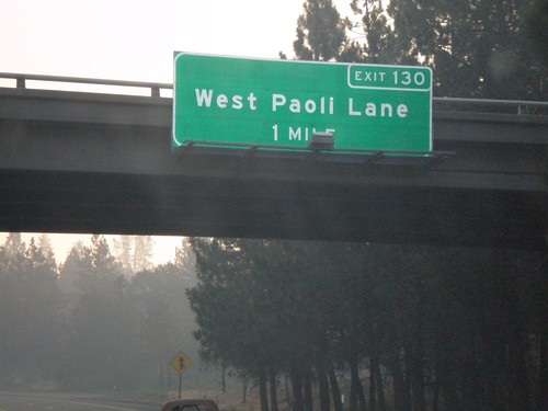
I-80 east approaching Exit 130 - West Paoli Lane.

I-80 East Exit 129

I-80 East Exit 129

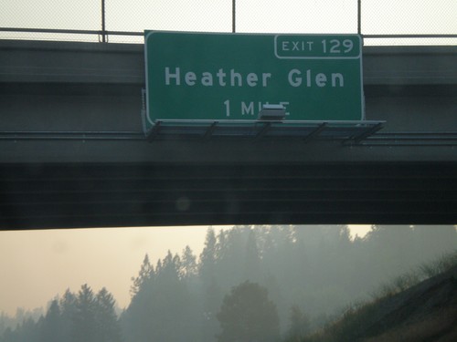
I-80 east approaching Exit 129 - Heather Glen.

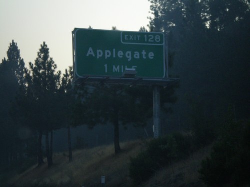
I-80 East Exit 128

I-80 East Exit 128

I-80 east approaching Exit 128 - Applegate.

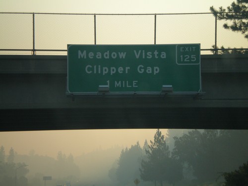
I-80 East Exit 125

I-80 East Exit 125

I-80 east approaching Exit 125 - Meadow Vista/Clipper Gap.

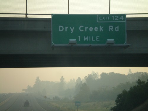
I-80 East Exit 124

I-80 East Exit 124

I-80 east approaching Exit 124 - Dry Creek Road.

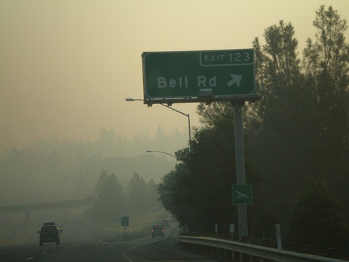
I-80 East Exit 123

I-80 East Exit 123

I-80 east at Exit 123 - Bell Road.

I-80 East Exit 122

I-80 East Exit 122

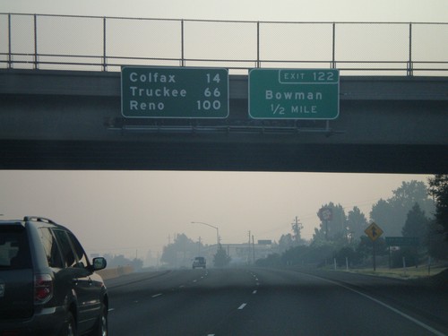
I-80 east approaching Exit 122 - Bowman. Overhead distance marker to Colfax, Truckee, and Reno.
I-80 East Exit 121

I-80 East Exit 121

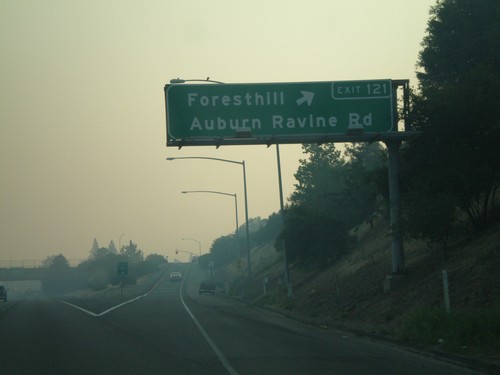
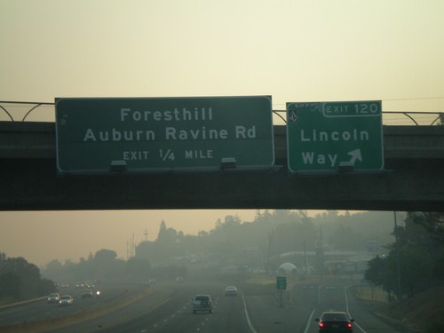
I-80 east at Exit 121 - Foresthill/Auburn Ravine Road.

I-80 East Exit 120 and Exit 121

I-80 East Exit 120 and Exit 121

I-80 east at Exit 120 - Lincoln Way. Approaching Exit 121 - Foresthill/Auburn Ravine Road.
I-80 East Exit 119B and Exit 119C

I-80 East Exit 119B and Exit 119C

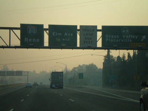
I-80 east at Exit 119B - CA-49/Grass Valley/Placerville. Approaching Exit 119C - Elm Ave. Overhead for I-80 to Reno.
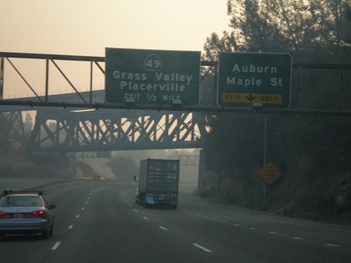
I-80 East Exit 119A and Exit 119B

I-80 East Exit 119A and Exit 119B

I-80 east approaching Exit 119A - Auburn/Maple St. and Exit 119B - CA-49/Grass Valley/Placerville.
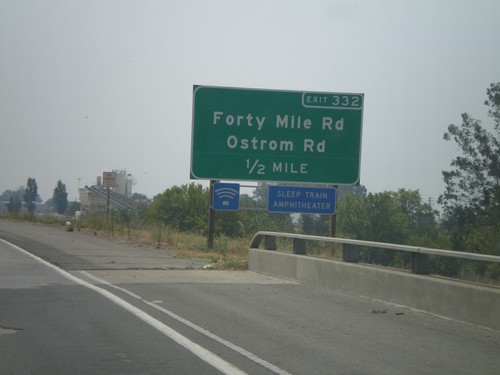
CA-65 South Exit 332

CA-65 South Exit 332

CA-65 south approaching Exit 332 - Forty Mile Road/Ostrom Road. This is the last exit on CA-65 before the freeway ends.
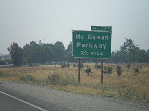
CA-65 South Exit 333

CA-65 South Exit 333

CA-65 south approaching Exit 333- McGowan Parkway. This is the first exit on CA-65 southbound.
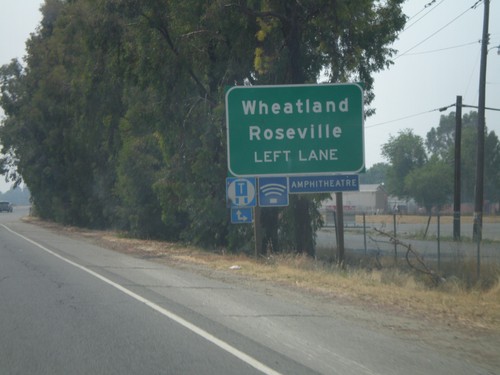
CA-70 South Exit 17

CA-70 South Exit 17

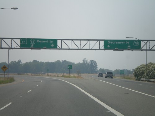
CA-70 south at Exit 17 - CA-65/Roseville. CA-70 continues south to Sacramento.

CA-70 South Approaching Exit 17

CA-70 South Approaching Exit 17

CA-70 south approaching CA-65 (Exit 17). Use left lanes for CA-65 to Wheatland and Roseville.
CA-70 South Exit 18A

CA-70 South Exit 18A

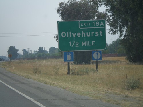
CA-70 south approaching Exit 18A - Olivehurst.

CA-70 South Exit 18B

CA-70 South Exit 18B

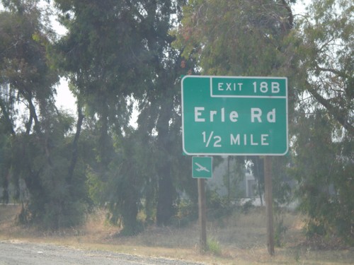
CA-70 south approaching Exit 18B - Erle Road.

CA-70 South Exit 20A

CA-70 South Exit 20A

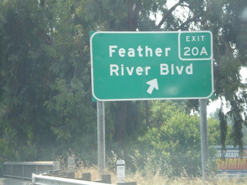
CA-70 south at Exit 20A - Feather River Blvd.

CA-70 South Exit 20B

CA-70 South Exit 20B

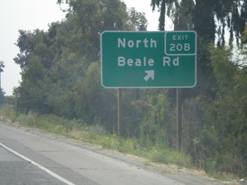
CA-70 south at Exit 20B - North Beale Road.

CA-70 South - Begin Freeway

CA-70 South - Begin Freeway

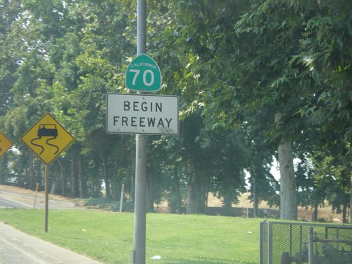
Begin freeway on CA-70 south crossing the Yuba River.

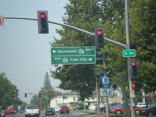
CA-70 South/CA-20 West Split

CA-70 South/CA-20 West Split

CA-70 South/CA-20 West at split. Turn left for CA-70 South to Sacramento. Turn right for CA-20 west to Yuba City.
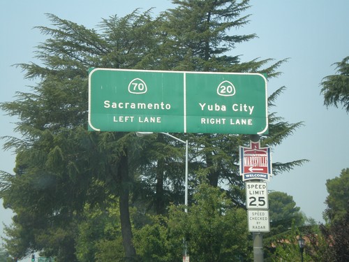
CA-70 South/CA-20 West Split

CA-70 South/CA-20 West Split

CA-70 South/CA-20 West approaching split. Use left lane for CA-70 south to Sacramento. Use right lane for CA-20 west to Yuba City.
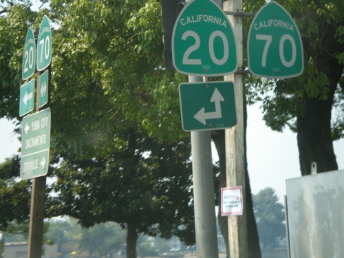
CA-70 South at CA-20 East

CA-70 South at CA-20 East

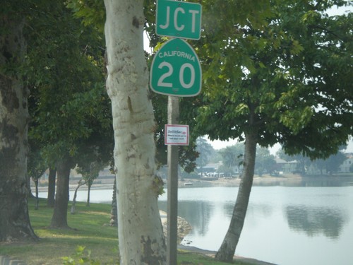
CA-70 south at CA-20. CA-20 joins CA-70 south for a few blocks through Marysville.
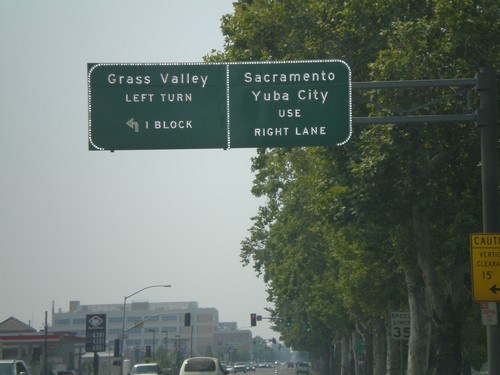
CA-70 South Approaching CA-20 East

CA-70 South Approaching CA-20 East

CA-70 south approaching CA-20.

CA-70 South Approaching CA-20 East

CA-70 South Approaching CA-20 East

CA-70 south approaching CA-20 east to Grass Valley. Continue straight for CA-70 South/CA-20 West to Yuba City and Sacramento.
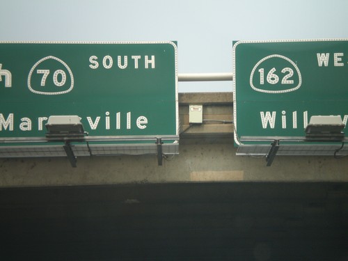
CA-162 West at CA-70 South

CA-162 West at CA-70 South

Overhead on CA-162 west. Turn left for CA-70 south to Marysville. Continue straight for CA-162 west to Willows.
CA-162 West at CA-70 North

CA-162 West at CA-70 North

CA-162 west at CA-70 north freeway entrance.

CA-162 West Approaching CA-70

CA-162 West Approaching CA-70

CA-162 west approaching CA-70 North to Quincy onramp.

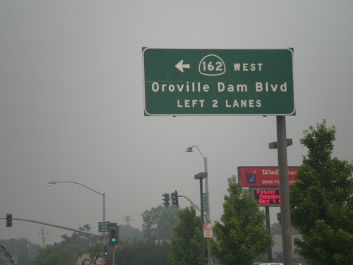
CA-162 West - Oroville Dam Blvd.

CA-162 West - Oroville Dam Blvd.

CA-162 west (Olive Highway) at Oroville Dam Blvd. CA-162 turns left here and continues on Oroville Dam Blvd.
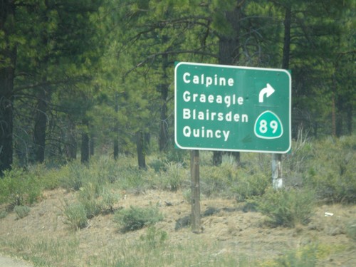
CA-49 South/CA-89 North Split

CA-49 South/CA-89 North Split

CA-49 south at CA-89 north split. CA-89 turns left here towards Calpine, Graeagle, Blairsden, and Quincy.
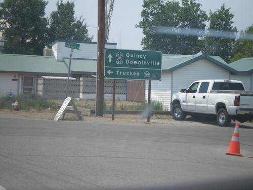
CA-89 North/CA-49 South

CA-89 North/CA-49 South

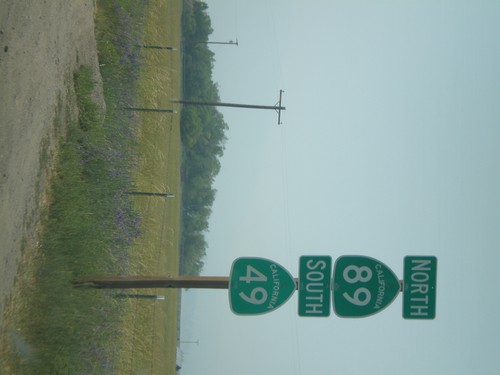
CA-49 South/CA-89 North shields north of Sierraville.

CA-49 South at CA-89

CA-49 South at CA-89

CA-49 south at CA-89 south to Truckee. CA-89 north joins CA-49 south to Sattley.
CA-49 South - Distance Marker

CA-49 South - Distance Marker

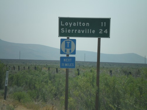
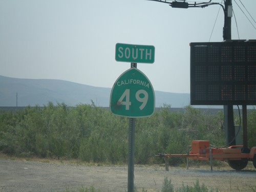
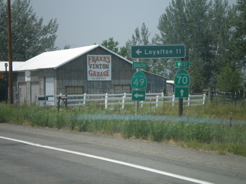
First distance marker on CA-49 south to Loyalton and Sierraville.

CA-49 South

CA-49 South

First CA-49 shield south of CA-70.

CA-70 West at CA-49 South

CA-70 West at CA-49 South

CA-70 west at CA-49 south to Loyalton. This is the northern beginning of CA-49 which goes through the California Gold Country.
CA-70 West Approaching CA-49

CA-70 West Approaching CA-49

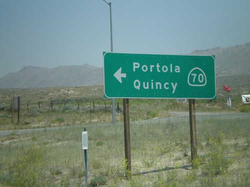
CA-70 west approaching CA-49 south.

CA-70 West Approaching CA-49

CA-70 West Approaching CA-49

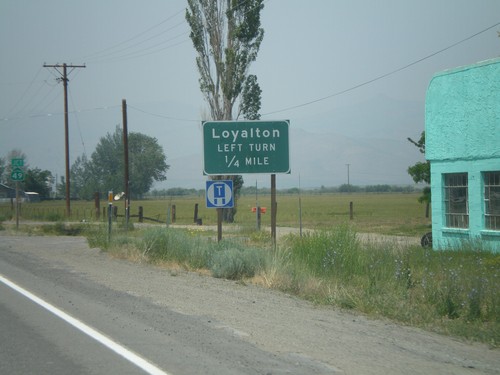
CA-70 west approaching CA-49 south to Loyalton.

CA-70 West at CA-284 North

CA-70 West at CA-284 North

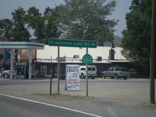
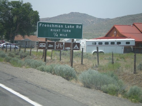
CA-70 west at CA-284 north to Frenchman Lake.

CA-70 West Approaching CA-284

CA-70 West Approaching CA-284

CA-70 west approaching CA-284 North/Frenchman Lake Road.

Begin CA-70 West at US-395 South

Begin CA-70 West at US-395 South

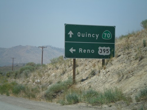
Begin CA-70 west at US-395 south onramp to Reno.

US-395 North Exit 8 Offramp at CA-70

US-395 North Exit 8 Offramp at CA-70

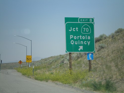
US-395 north Exit 8 offramp at CA-70 west to Portola and Quincy.
US-395 North Exit 8

US-395 North Exit 8

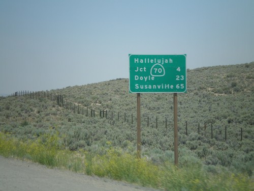
US-395 north at Exit 8 - CA-70/Portola/Quincy.

US-395 North Approaching Exit 8

US-395 North Approaching Exit 8

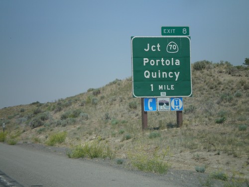
US-395 north approaching Exit 8 - CA-70/Portola/Quincy.

US-395 North - Distance Marker

US-395 North - Distance Marker

Distance marker on US-395 north to CA-70 Jct (Hallelujah Junction), Doyle, and Susanville. This is the first distance marker on US-395 inside of California.
US-395 North Exit 83

US-395 North Exit 83

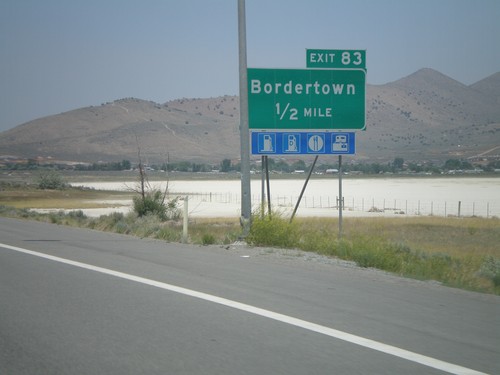
US-395 north approaching Exit 83 - Bordertown. This is the last Nevada exit on US-395.
US-395 North Exit 80

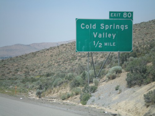
US-395 North Exit 80

US-395 north approaching Exit 80 - Cold Springs Valley

US-395 North Exit 78

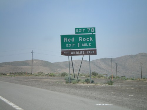
US-395 North Exit 78

US-395 north approaching Exit 78 - Red Rock

US-395 North Exit 76

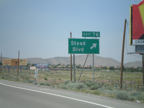
US-395 North Exit 76

US-395 north at Exit 76 - Stead Blvd

Lemmon Drive at US-395 Exit 74

Lemmon Drive at US-395 Exit 74

Lemmon Drive at US-395 Exit 74 freeway entrance.

US-395 North Exit 73

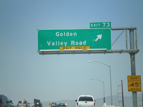
US-395 North Exit 73

US-395 north at Exit 73 - Golden Valley Road

US-395 North Exit 72

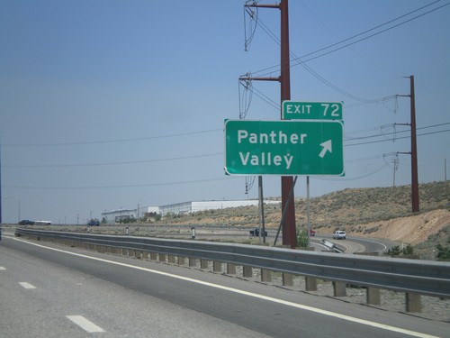
US-395 North Exit 72

US-395 north at Exit 72 - Panther Valley

US-395 North Exit 71

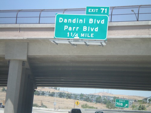
US-395 North Exit 71

US-395 north approaching Exit 71 - Dandini Blvd./Parr Blvd.

US-395 North Exit 70B

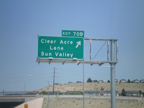
US-395 North Exit 70B

US-395 north at Exit 70B - Clear Acre Lane/Sun Valley

US-395 North Exit 70A

US-395 North Exit 70A

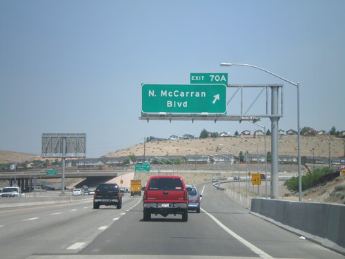
US-395 north at Exit 70A - N. McCarran Blvd.

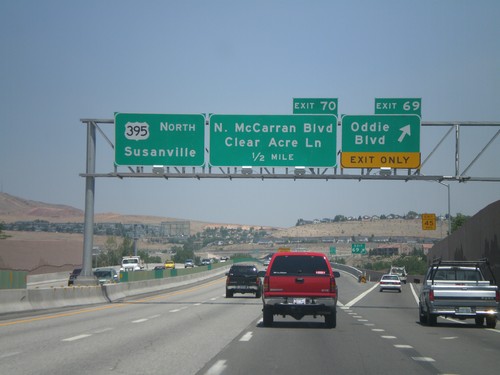
US-395 North Exit 69 and Exit 70

US-395 North Exit 69 and Exit 70

US-395 north at Exit 69 - Oddie Blvd. Approaching Exit 70 - N. McCarran Blvd./Clear Acre Lane. Overhead for US-395 north to Susanville.
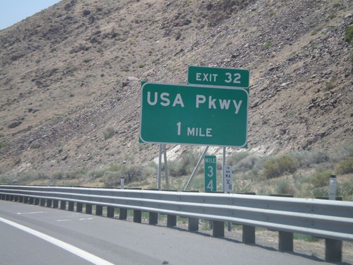
I-80 West Exit 32

I-80 West Exit 32

I-80 west approaching Exit 32 - USA Parkway. USA Parkway replaces the Tracy/Clark Station exit. It opened in 2008.
End NV-401 at I-80

End NV-401 at I-80

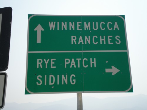
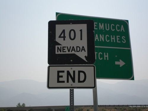
End NV-401 at I-80 Frontage Road. Turn right for Rye Patch Siding. Continue on to I-80 for Winnemucca and Ranches.
End NV-401 at I-80

End NV-401 at I-80

End NV-401 approaching I-80.