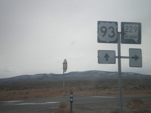
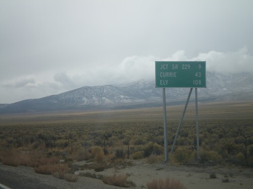
Signs From October 2008
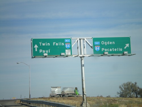
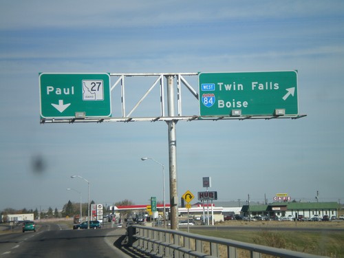
ID-27 North at I-84 Onramp
BL-84 West/ID-27 North at I-84 (Exit 208). Merge right for I-84 East/Ogden (Utah)/Pocatello. Continue over bridge for I-84 West/Twin Falls and ID-27 North to Paul.
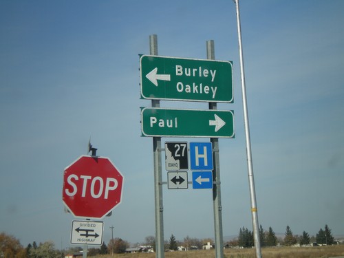
I-84 West Offramp at ID-27
I-84 west Exit 208 offramp at ID-27. Turn right for ID-27 north to Paul; left for BL-84 East/ID-27 south to Burley and Oakley.
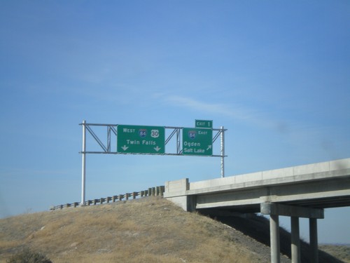
I-86 West - Exit 1
End I-86 west at Exit 1 - I-84 East/Ogden/Salt Lake. Continue ahead for I-84/US-30 West/Twin Falls. Taken from underpass on I-84 east.
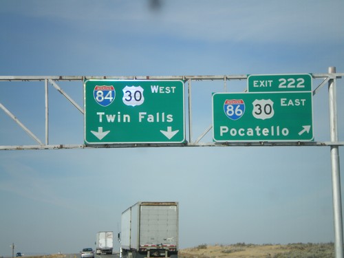
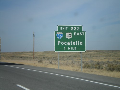
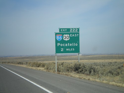
I-84 West - Exit 222
I-84 west at Exit 222 - I-86/US-30 East/Pocatello. Continue west on I-84/US-30 for Twin Falls.
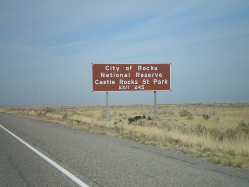
I-84 West - City of Rocks
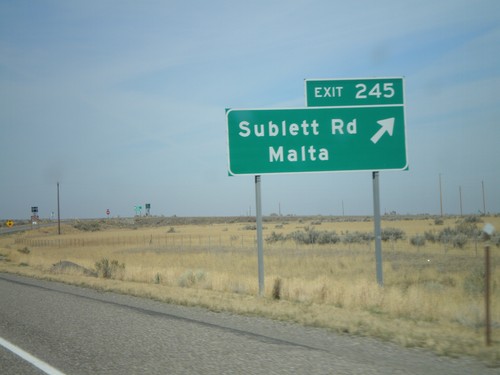
I-84 west approaching Exit 245. Use Exit 245 for Castle Rock State Park and City of Rocks National Preserve.
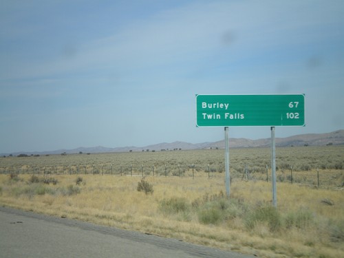
I-84 West - First Distance Marker In Idaho
Distance marker on I-84 west. Distance to Burley and Twin Falls. This is the first distance marker along I-84 west in Idaho.
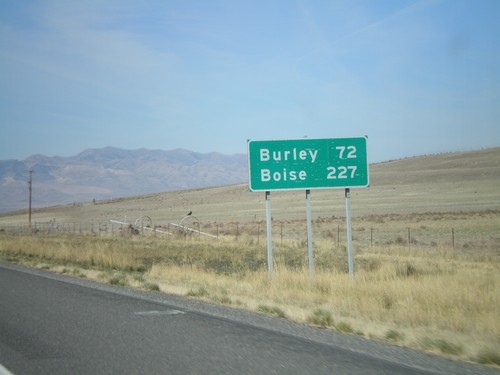
I-84 West - Last Distance Marker In Utah
Distance marker on I-84 west to Burley and Boise. Both cities are in Idaho. This is the last distance marker on I-84 in Utah.
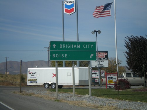
UT-102 West at I-84 Onramps
UT-102 west approaching I-84 (Exit 40). Use I-84 west for Boise. Use I-84 east for Brigham City.
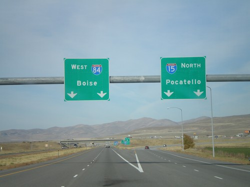
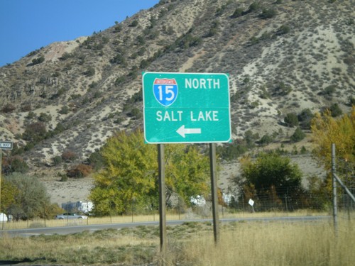
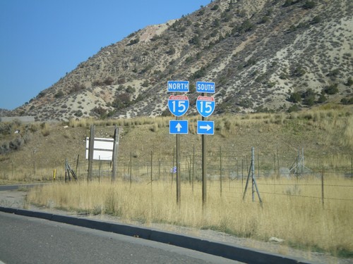
I-15 North - Exit 379
I-15 North/I-84 West Split (Exit 379) in Tremonton. Use I-15 north for Pocatello (Idaho); I-84 west for Boise (Idaho).
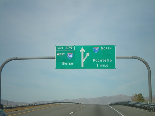
I-15 North - Exit 379
I-15 North/I-84 West approaching Exit 379 - I-84 West/Boise (Idaho). Continue north on I-15 for Pocatello (Idaho).
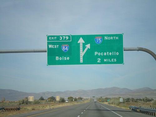
I-15 North - Exit 379
I-15 North/I-84 West approaching Exit 379 - I-84 West/Boise (Idaho). Continue north on I-15 for Pocatello (Idaho).
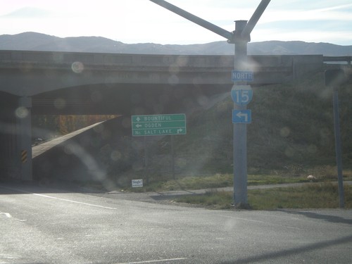
I-15 - Exit 315 Onramp
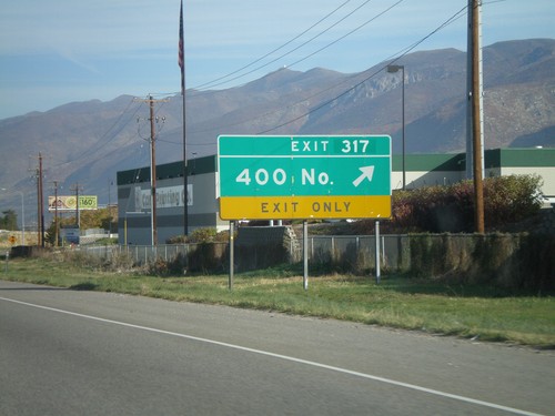
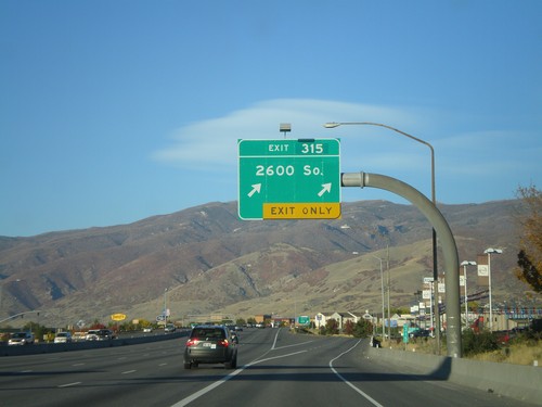
East 1100 North at I-15. Turn right for I-15 south to Salt Lake. Use left lane for I-15 north to Ogden. Continue east for Bountiful.
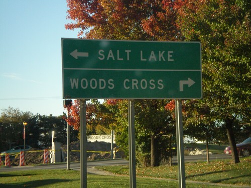
I-15 North - Exit 315 Offramp
E 1100 North at I-15 south to Salt Lake. Continue straight, then right for Woods Cross.
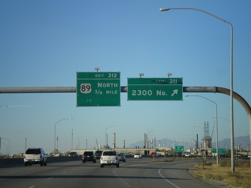
I-15 North - Exits 311 and 312
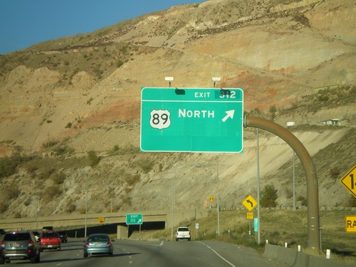
I-15 north at Exit 311 - 2300 North. Approaching Exit 312 - US-89 North.
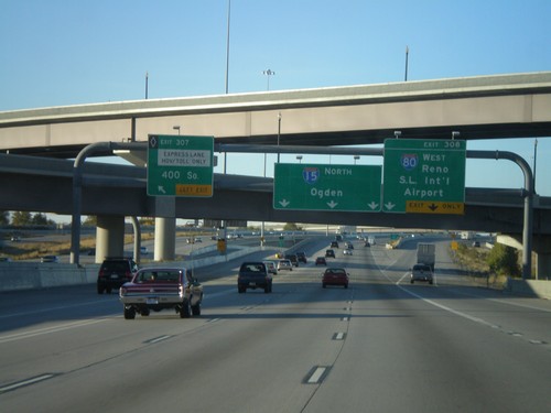
I-15 North/I-80 West - Exits 307 and Exit 308
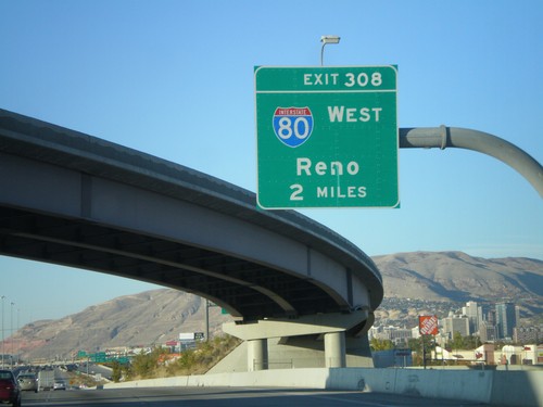
I-15 North/I-80 West at Exit 307 (HOV) - 400 South. Approaching Exit 308 - I-80 West/Reno/Salt Lake International Airport. I-15 continues north to Ogden.
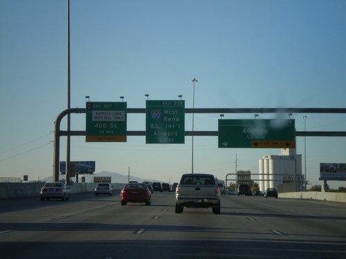
I-15 North - Exits 306, 307 and Exit 308
I-15 North/I-80 West approaching Exit 306 - 600 South. Approaching Exit 307 (HOV) - 400 South. Approaching Exit 308 - I-80 West/Reno/Salt Lake International Airport.
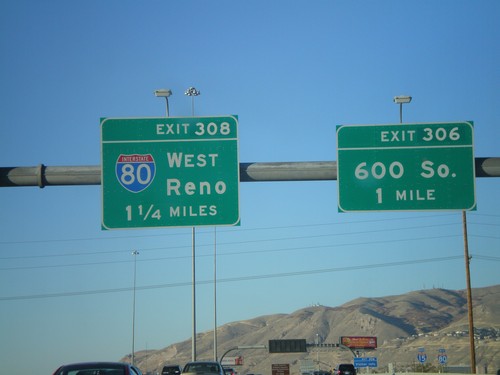
I-15 North/I-80 West - Exit 306 and Exit 308
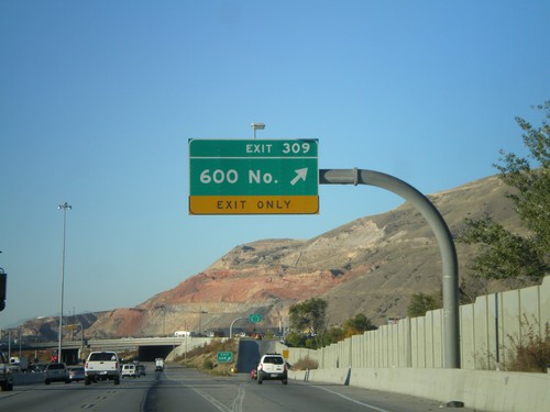
I-15 North/I-80 West approaching Exits 306 and 308. Exit 306 - 600 South. Exit 308 - I-80 West/Reno.
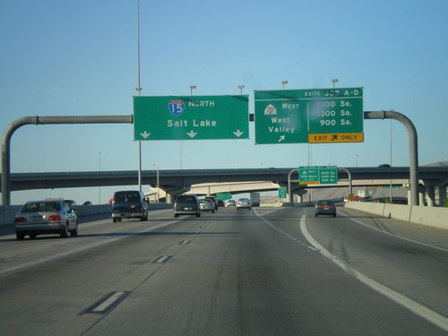
I-15 North - Exit 305 A-D
I-15 north at Exit 305 A-D - UT-201 West/West Valley and 2100 South/1300 South/900 South. Continue north on I-15 to Salt Lake.
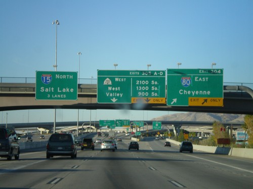
I-15 North - Exit 304 and Exit 305AD
I-15 north at Exit 304 - I-80 East/Cheyenne. Approaching Exits 305A-D - UT-201 West/West Valley and 2100 South/1300 South/900 South. I-80 west joins I-15 north through Salt Lake City. Use left three lanes for I-15 north to Salt Lake.
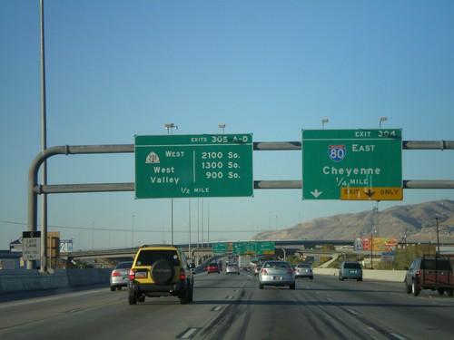
I-15 North - Approaching Exit 304 and Exit 305AD
I-15 north approaching Exit 304 - I-84 East/Cheyenne. Approaching Exit 305 A-D - UT-201 West/West Valley and 2100 South/1300 South/900 South.
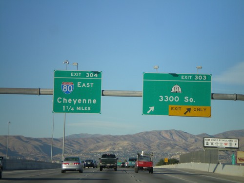
I-15 North - Exit 303 and Exit 304
I-15 north at Exit 303 - UT-171/3300 South. Approaching Exit 304 - I-80 East/Cheyenne.
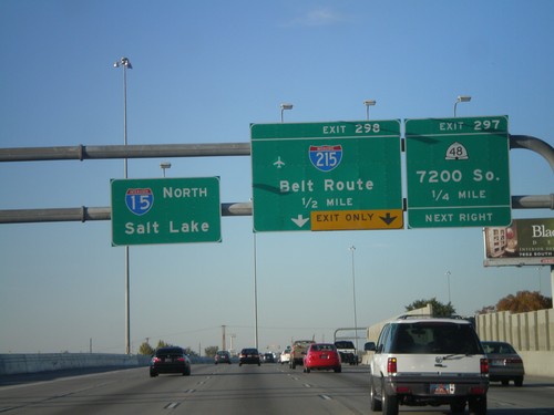
I-15 North - Exit 297 and Exit 298
I-15 north approaching Exit 297 - UT-48/7200 South. Approaching Exit 298 - I-215/Belt Route. Continue north on I-15 for Salt Lake.
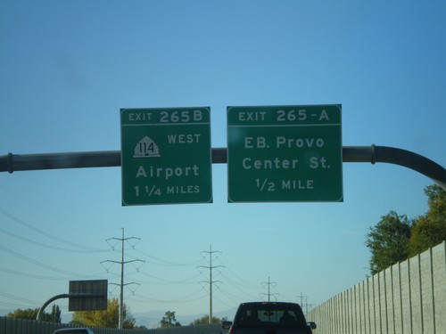
I-15 North - Exit 265A and Exit 265B
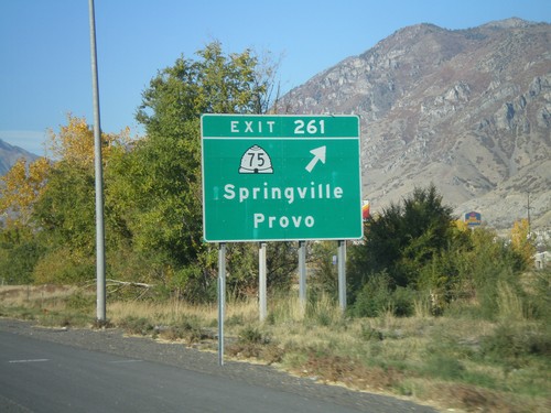
I-15 north at Exit 265A - Eastbound Provo Center St. Approaching Exit 265B - UT-114 West/Airport.
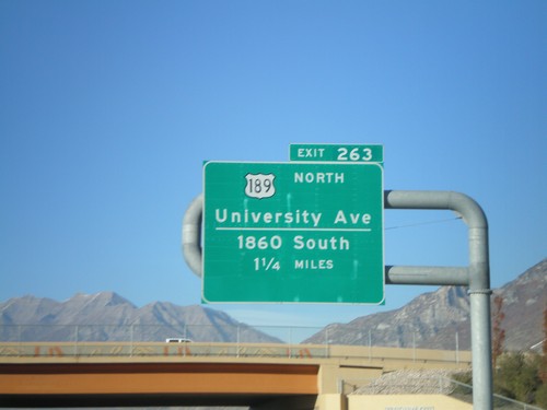
I-15 North - Exit 263
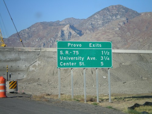
I-15 north approaching Exit 263 - US-189 North/University Ave./1860 South. This is the southern end of US-189.
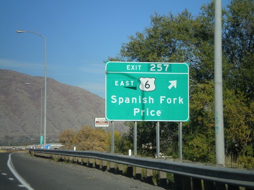
I-15 North - Exit 257
I-15 north at Exit 257 - US-6 East/Spanish Fork/Price. US-6 leaves I-15 north here.
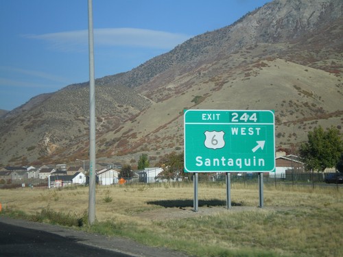
I-15 North - Exit 244
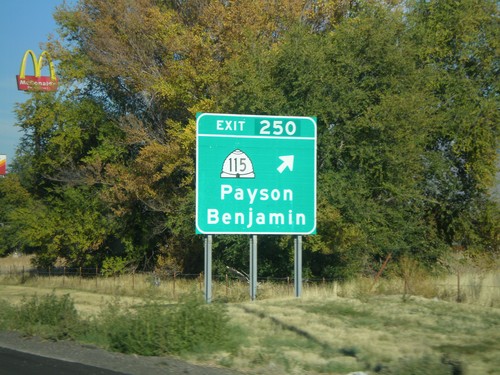
I-15 north at Exit 244 - US-6 West/Santaquin. US-6 joins I-15 north to Spanish Fork.
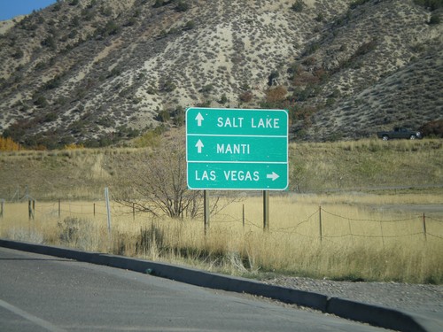
UT-132 East Approaching I-15
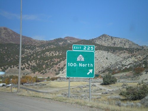
UT-132 east approaching I-15. Turn right for I-15 south to Las Vegas (Nevada); straight for I-15 north to Salt Lake, and UT-132 east to Manti.
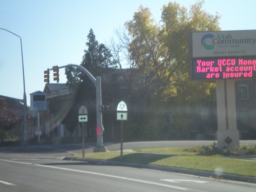
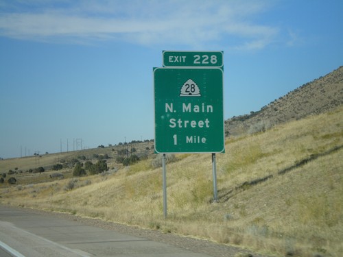
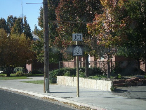
UT-28 South at UT-132
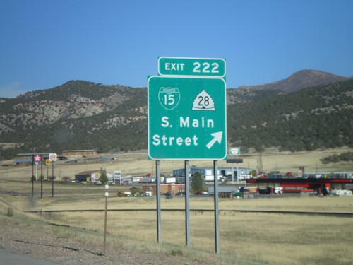
UT-28 south at UT-132. Notice the different shields used for UT-28 and UT-132. The UT-28 style is the newer style.
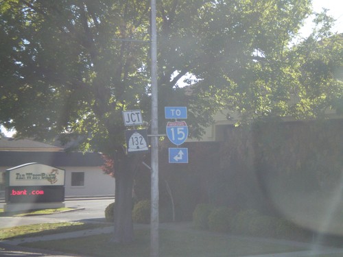
UT-28 South Approaching UT-132
UT-28 south approaching UT-132. For I-15 north use UT-132 east. For I-15 south use UT-28 south.
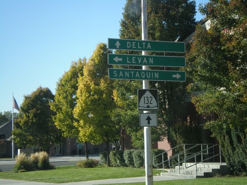
UT-132 West at UT-28
UT-132 west at UT-28. Use UT-28 north for Santaquin. Use UT-28 south for Levan. Continue on UT-132 for Delta.
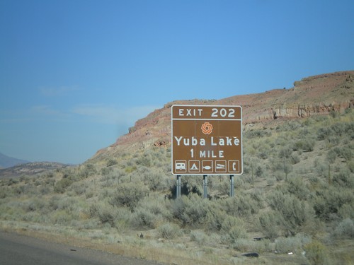
I-15 North - Exit 202
I-15 north approaching Exit 202 - Yuba Lake. The red logo on the top of the sign is for Utah State Parks.
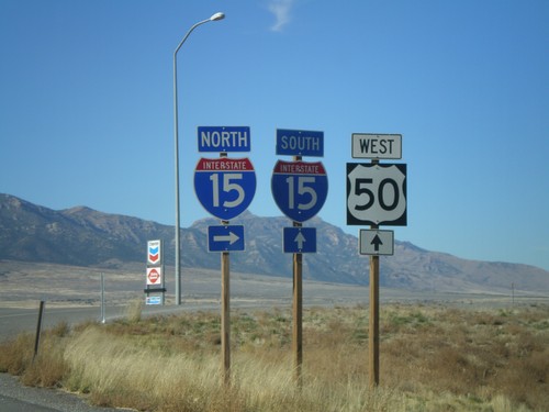
US-50 West at I-15
US-50 west at I-15 in Scipio. Turn right for I-15 north; straight head over freeway for I-15 south. US-50 west joins I-15 south to Holden.
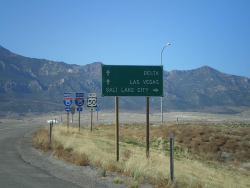
US-50 West at I-15
US-50 west approaching I-15. Use I-15 north for Salt Lake City. Use I-15 south for Las Vegas (Nevada) and Delta (via US-50). US-50 joins I-15 south to Holden.
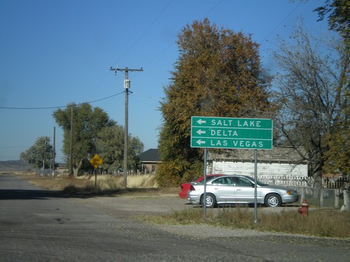
US-50 West in Scipio
US-50 west (State St.) at W 400 North. US-50 makes a left turn here. Use US-50 west for Delta, Salt Lake, and Las Vegas.
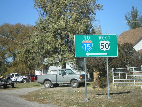
US-50/To I-15 - Scipio
US-50 west (State St.) approaching W 400 North. US-50 makes a left turn here. Use US-50 west for I-15.
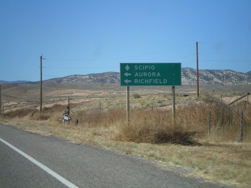
US-50 West Approaching UT-260
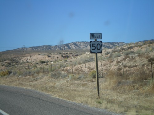
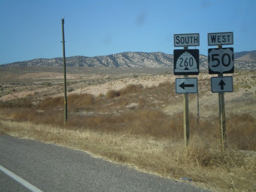
US-50 west approaching UT-260 south to Richfield and Aurora. US-50 continues west to Scipio.
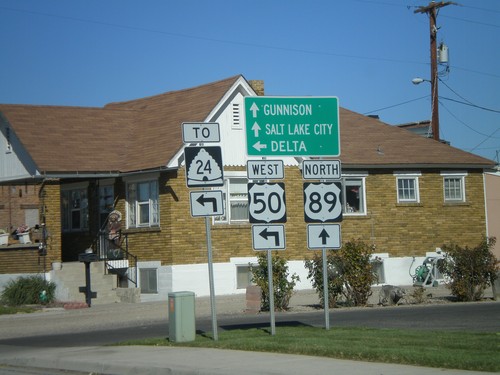
US-89 North/US-50 Jct. - Salina
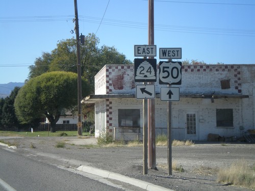
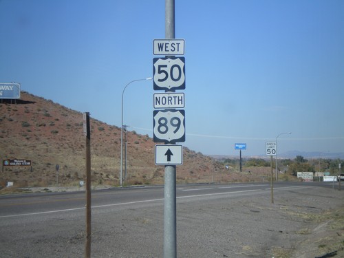
US-50 west/US-89 north split. Continue on US-89 for Gunnison and Salt Lake. Use US-50 west for UT-24 and Delta.
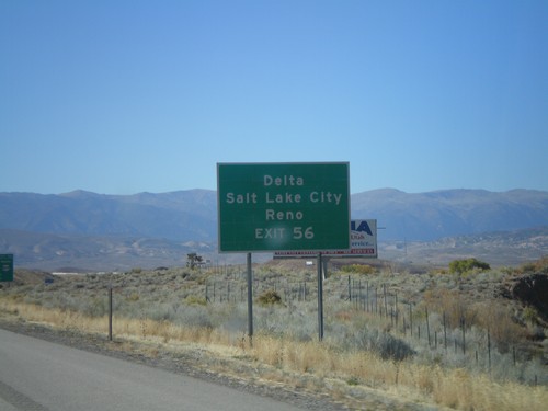
I-70 West Approaching Exit 56
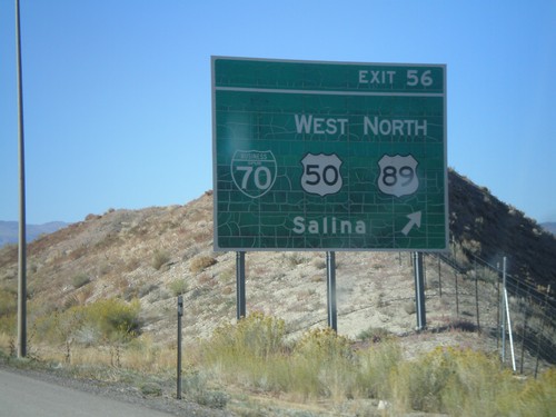
I-70 west approaching Exit 56. Use Exit 56 for Delta, Salt Lake, and Reno(NV).
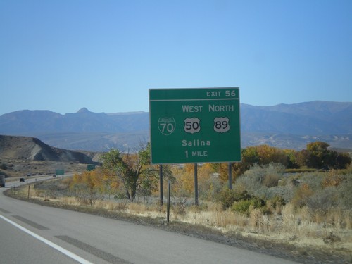
I-70 West - Exit 56
I-70 west approaching Exit 56 - BL-70/US-50 West/US-89 North/Salina. US-50 west exits I-70 here.
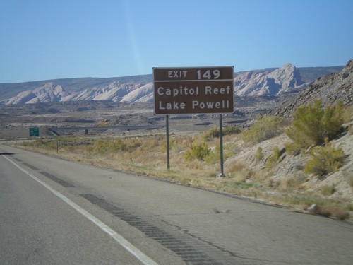
I-70 West Approaching Exit 149
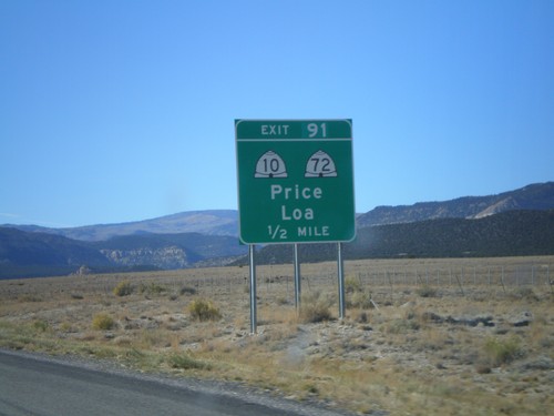
I-70 west approaching Exit 149. Use Exit 149 for Capitol Reef and Lake Powell.
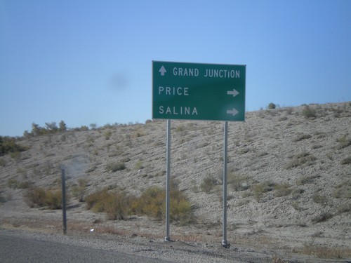
UT-19 West Approaching I-70
UT-19 west approaching I-70. Use I-70 west for Price and Salina. Use I-70 east for Grand Junction (CO).
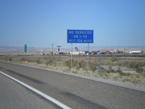
I-70 West - Next Services 106 Miles
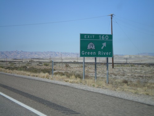
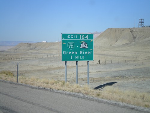
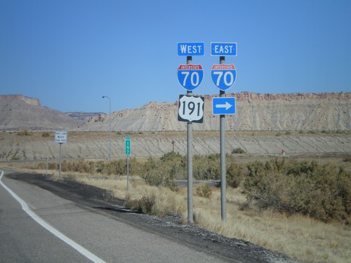
I-70 west approaching Exit 160. Exit 160 is the last exit with services on I-70 west for 106 miles.
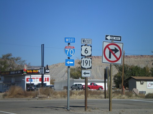
US-191 North at I-70/US-6 Onramp
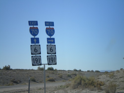
US-191 north at I-70 west. US-191 continues north along I-70 west along with US-6 and US-50 (unsigned).
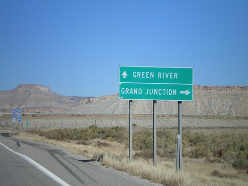
US-191 North at I-70
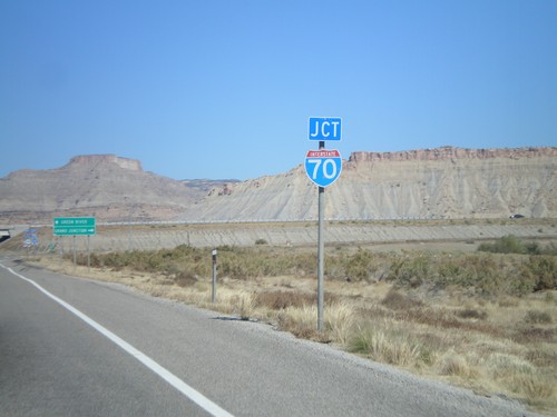
US-191 north approaching I-70. Use I-70 west for Green River. Use I-70 east for Grand Junction (CO).
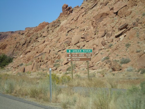
US-191 North Approaching UT-279
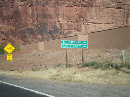
US-191 north approaching UT-279. Use UT-279 west for Potash. Use US-191 north for Green River and Dead Horse Point State Park.
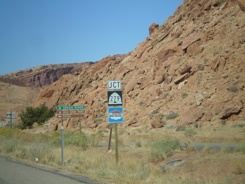
US-191 North Approaching UT-279
US-191 north approaching UT-279. UT-279 is signed as a Utah scenic byway.
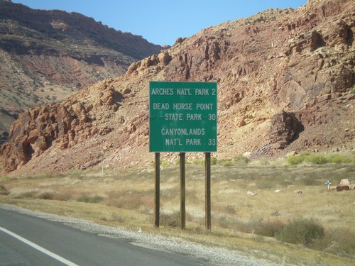
US-191 North - National Parks Distance Marker
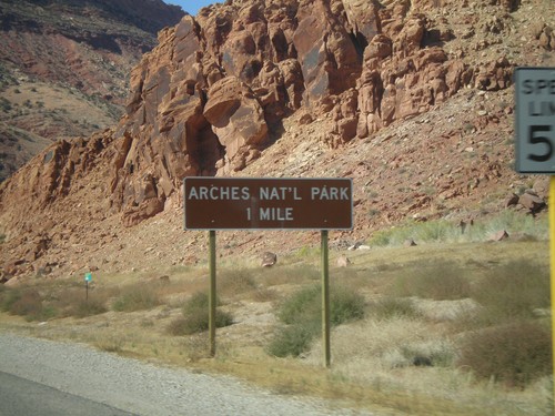
Distance marker on US-191 north to Arches NP, Dead Horse Point SP, and Canyonlands NP.
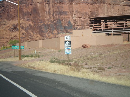
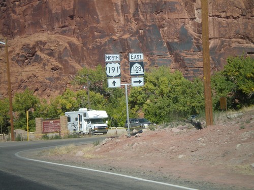
US-191 North Approaching UT-128
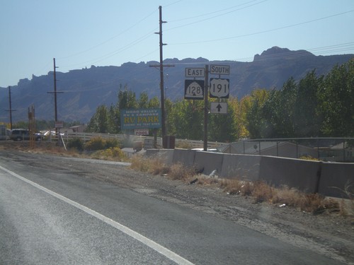
US-191 north approaching UT-128. UT-128 is signed as a Utah scenic byway.
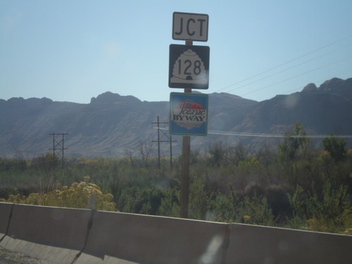
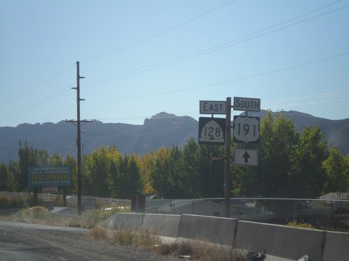
US-191 South Approaching UT-128
US-191 south approaching UT-128 east. UT-128 is marked as a Utah scenic byway.
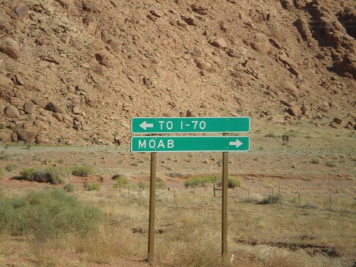
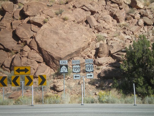
End UT-279 East at US-191
UT-279 east approaching US-191. Use US-191 north for I-70. Use US-191 south for Moab.
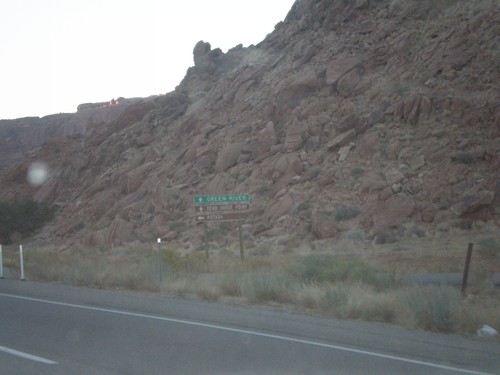
US-191 North Approaching UT-279
US-191 north approaching UT-279. Use UT-279 west for Potash. Use US-191 north for Green River and Dead Horse Point State Park.
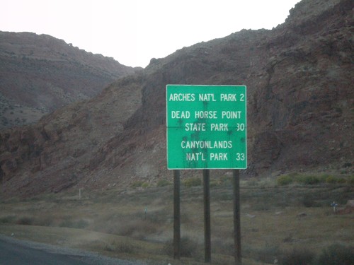
US-191 North - National Parks Distance Marker
Distance marker on US-191 north to Arches NP, Dead Horse Point SP, and Canyonlands NP.
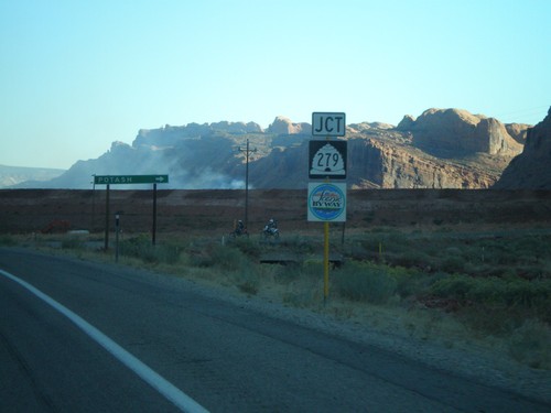
US-191 South Approaching UT-279
US-191 south approaching UT-279 west to Potash. UT-279 is marked as a Utah scenic byway.
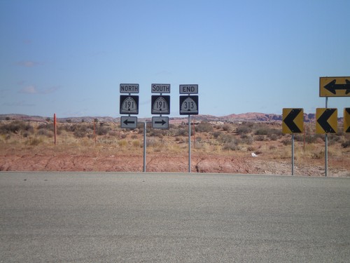
End UT-313 North at US-191
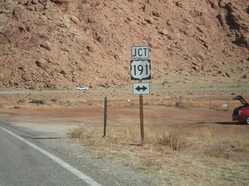
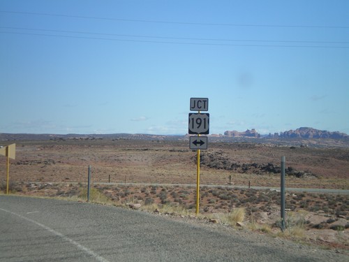
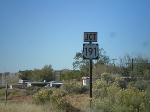
End UT-313 north at US-191. US-191 shields are incorrectly signed as UT-191.
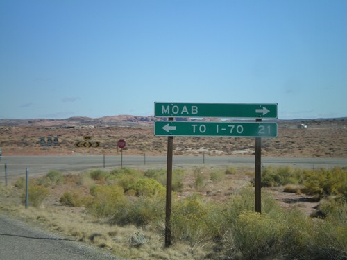
End UT-313 at US-191
End UT-313 north approaching US-191. Use US-191 north for I-70. Use US-191 south for Moab.
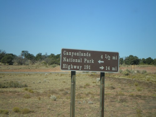
UT-313 at Canyonlands National Park Jct.
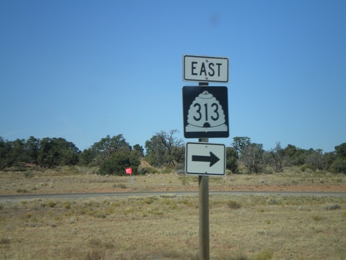
UT-313 north approaching Canyonlands NP access road. Turn right to continue on UT-313 to US-191.
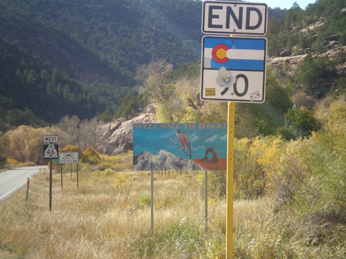
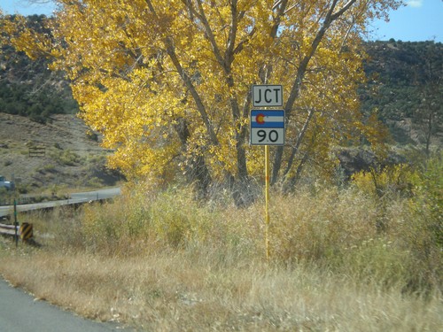
End CO-90 at the Utah State Line
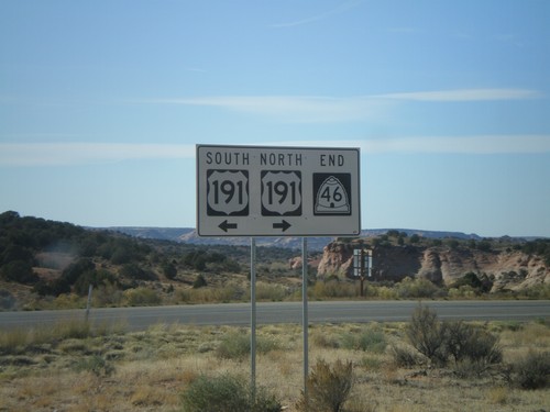
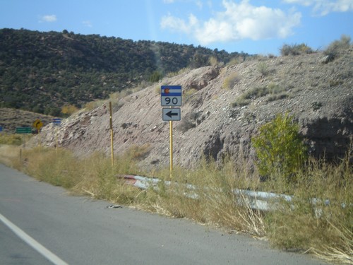
End CO-90 west at the Utah State Line. CO-90 continues as UT-46 into Utah.
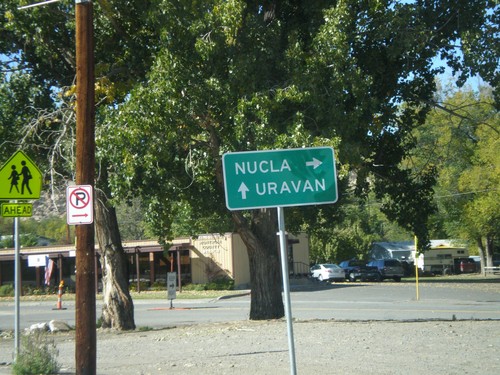
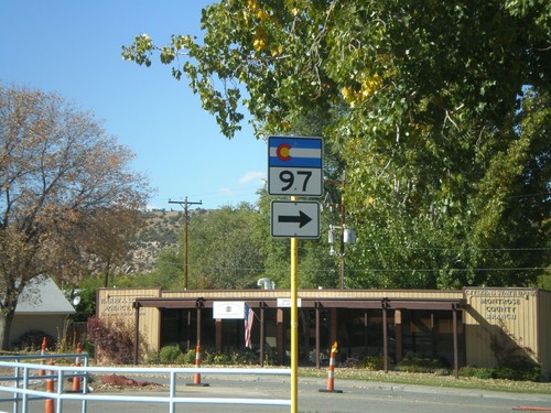
CO-141 North Approaching CO-97
CO-141 north approaching CO-97 north to Nucla. Continue on CO-141 for Uravan.
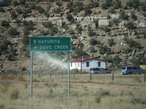
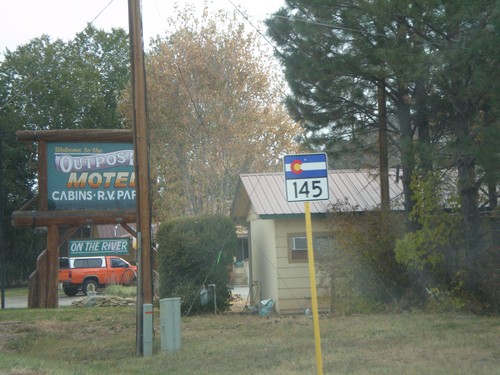
CO-145 West at CO-141
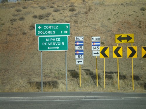
End CO-145 west at CO-141. Use CO-141 south for Dove Creek. Use CO-141 north for Naturita.
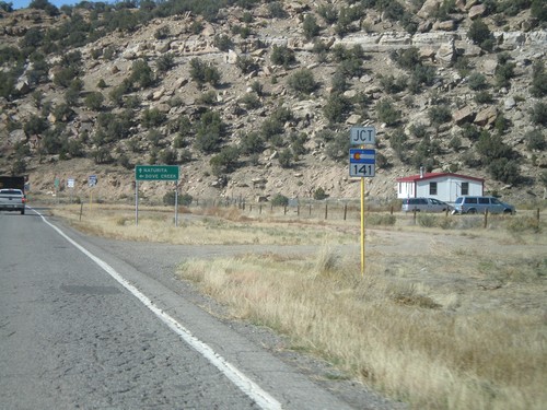
CO-145 West Approaching CO-141
CO-145 west approaching CO-141. Use CO-141 south for Dove Creek. Use CO-141 north for Naturita.
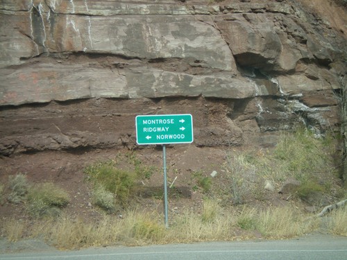
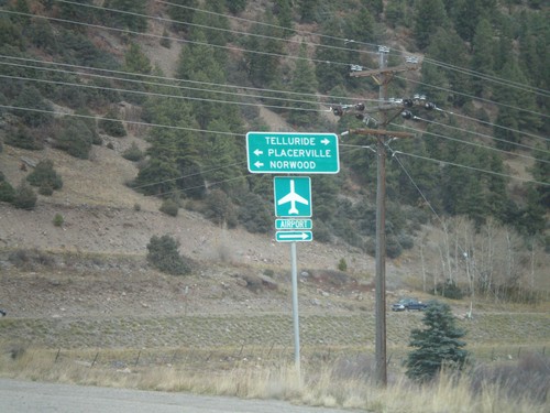
CO-145 West at CO-62
CO-145 west at CO-62 east to Montrose and Ridgway. Turn left to continue on CO-145 to Norwood.
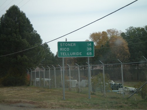
CO-145 - Distance Marker
Distance marker on CO-145 east of Dolores. Distances to Rico, Stoner, and Telluride.
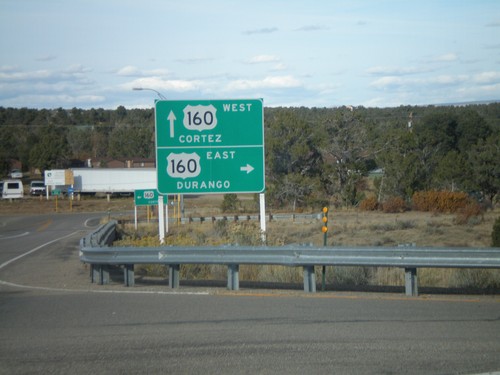
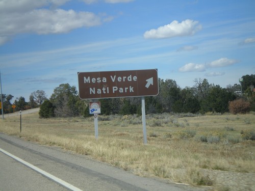
Mesa Verde Park Road at US-160
Mesa Verde Park Road at US-160 onramps. Use US-160 east for Durango. Use US-160 west for Cortez.
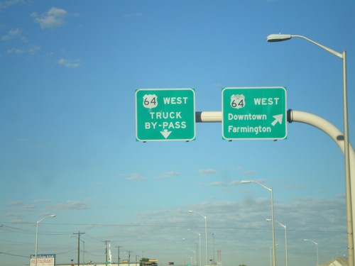
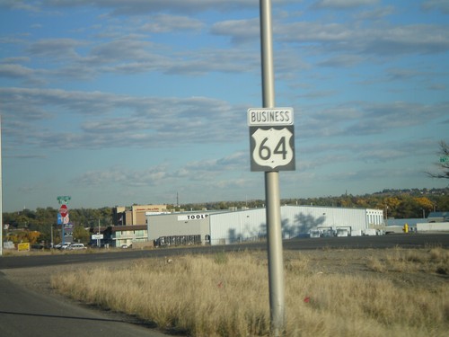
US-64 West - Farmingon Bypass
US-64 West at Bus. US-64 West. Use Bus. US-64 west for Downtown Farmington.
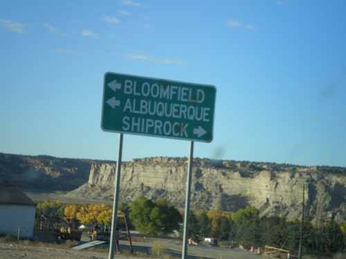
NM-516 South Approaching US-64
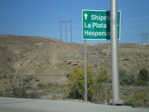
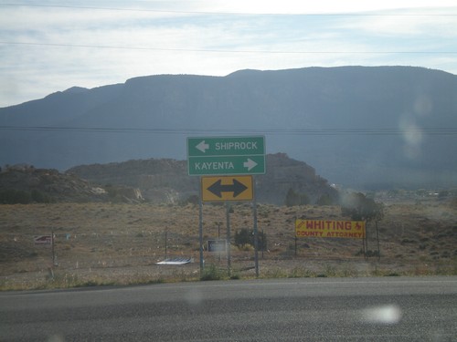
NM-516 south approaching US-64. Use US-64 east for Bloomfield and Albuquerque. Use US-64 west for Shiprock.
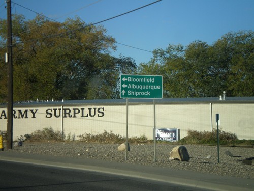
NM-516 South at Browning Parkway
NM-516 south (Main St.) at Browning Parkway. Turn left to continue on NM-516 for Bloomfield and Albuquerque. Continue on Main St.for Shiprock.
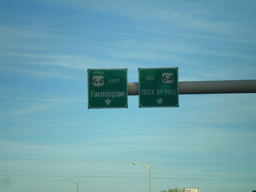
US-64 East - Farmington Bypass
US-64 East at Bus US-64. Use Bus. US-64 for Farmington. Use US-64 for the Truck Bypass.
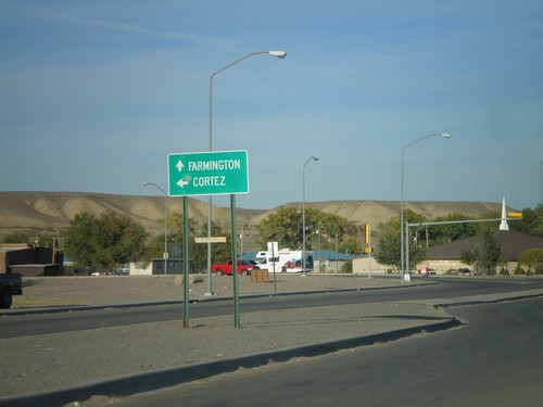
US-64 East/US-491 North Approaching US-491 Jct.
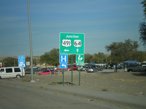
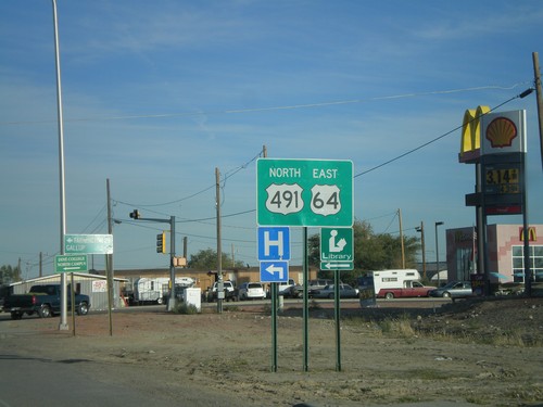
US-64 East/US-491 north at split. Use US-491 north for Cortez (CO). Use US-64 east for Farmington.
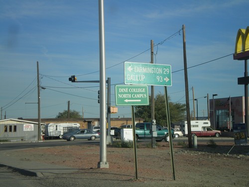
US-64 East at US-491
US-64 east at US-491. Use US-491 south for Gallup. US-491 north joins US-64 through Shiprock.
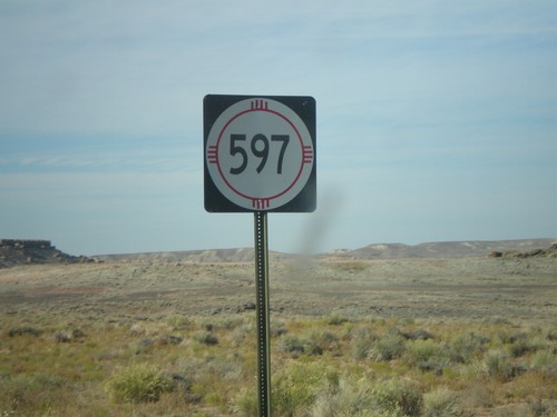
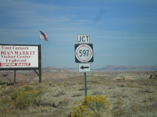
NM-597 - Four Corners
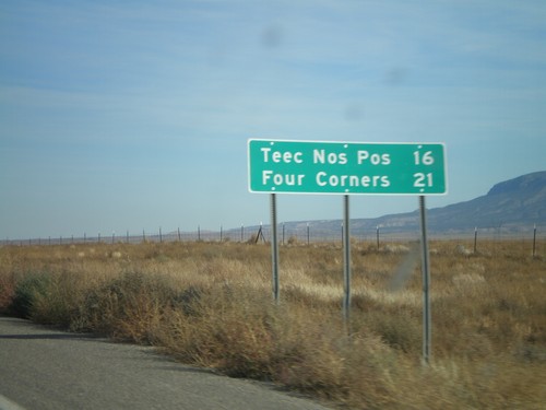
NM-597 just north of US-160. NM-597 is a short state route connecting US-160 with the Four Corners monument.
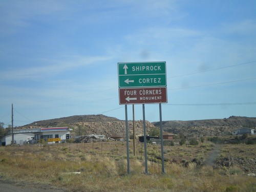
US-160 East at US-64
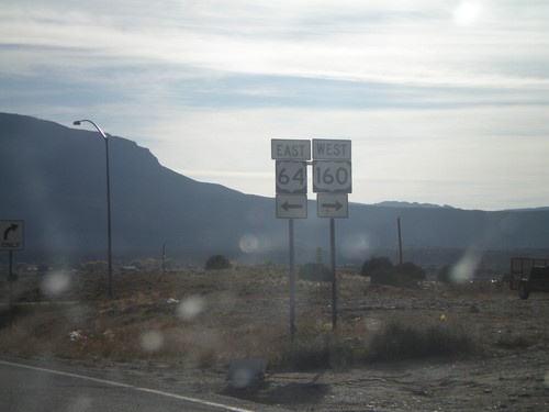
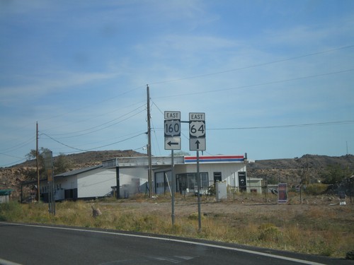
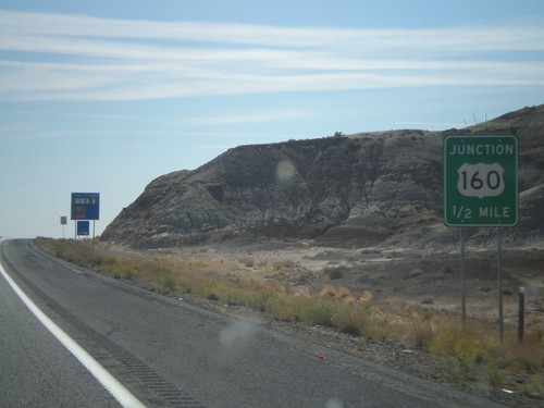
US-160 east approaching US-64 east to Shiprock (NM). Use US-160 east for Cortez (CO) and Four Corners.
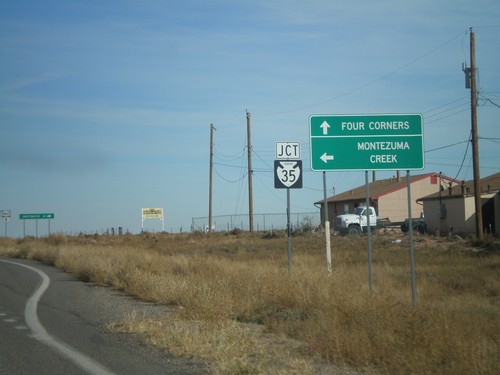
US-160 East at BIA-35
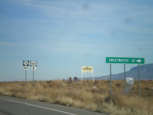
US-160 east approaching BIA-35 north to Montezuma Creek. Continue on US-160 east to Four Corners.
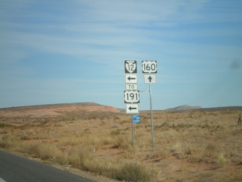
US-160 East at BIA-12/To US-191
US-160 east at BIA-12 North to US-191. All maps denote this as US-191, but the sign says BIA-12.
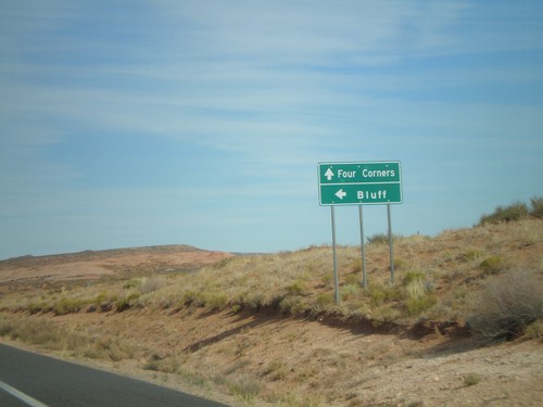
US-160 East at BIA-12 North (US-191)
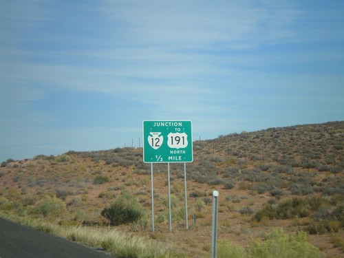
US-160 east approaching BIA-12 North to US-191 and Bluff (Utah).
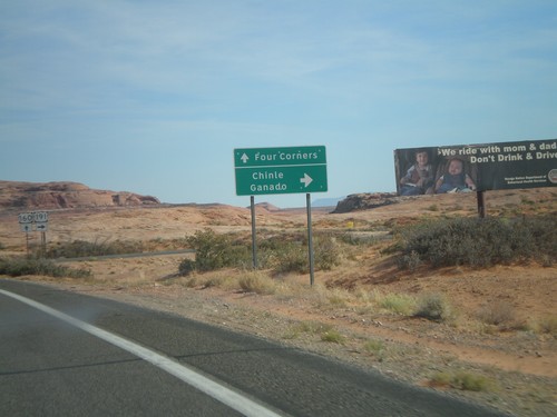
US-160 East at US-191 South
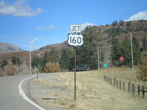
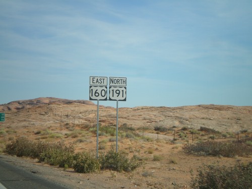
US-160 east at US-191 south to Ganado and Chinle. US-191 joins US-160 east next 3 miles.
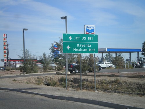
US-160 East at US-163
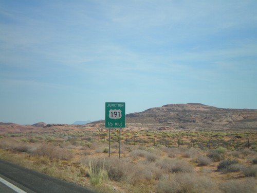
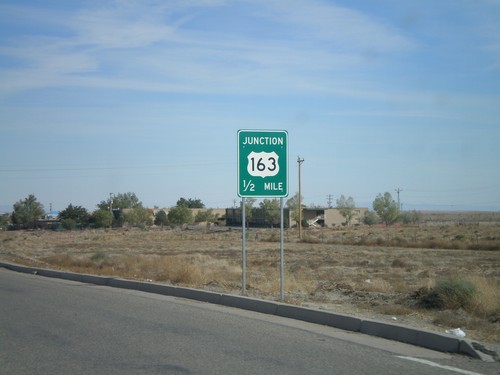
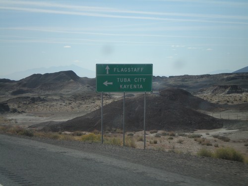
US-160 east approaching US-163 to Mexican Hat and Kayenta. Continue east on US-160 for US-191.
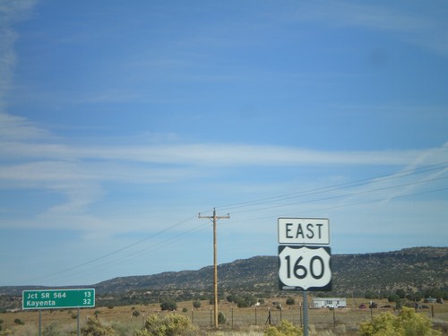
US-160 East - Shield and Distance Marker
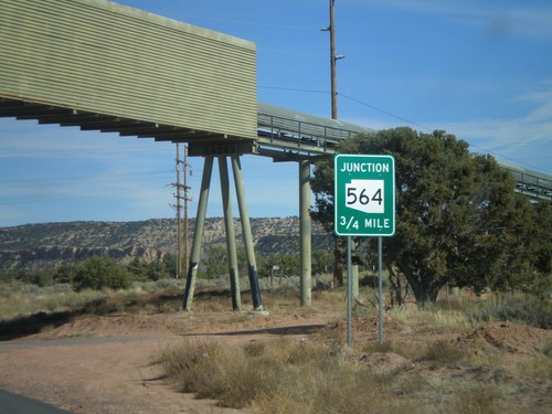
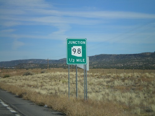
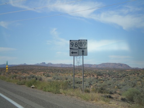
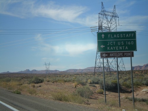
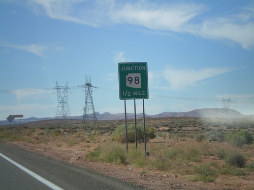
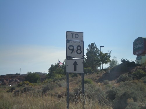
Distance marker on US-160 east of AZ-98. Distance given to Jct. SR-564 and Kayenta. US-160 shield in foreground.
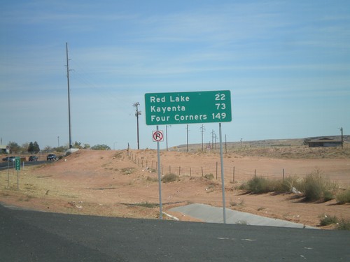
US-160 East - Distance Marker
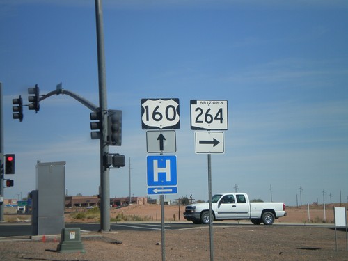
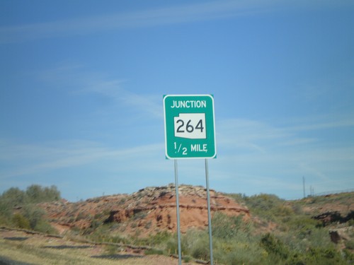
US-160 east of AZ-264 junction. Distance marker to Red Lake, Kayenta, and Four Corners.
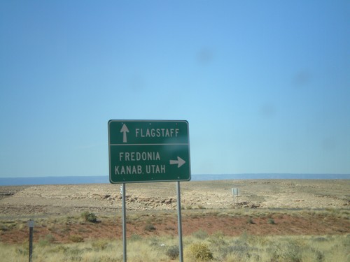
US-89 South Approaching US-89A
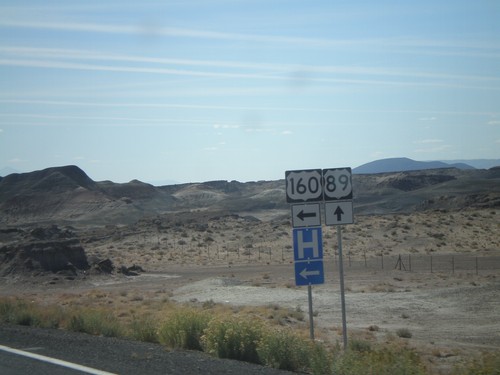
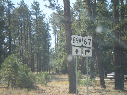
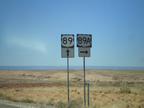
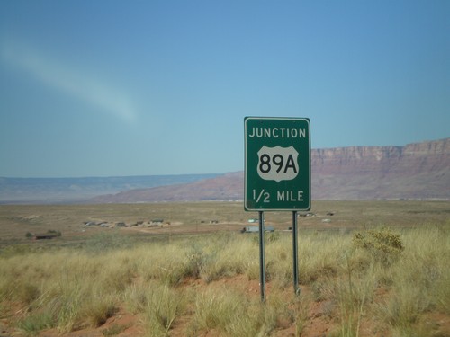
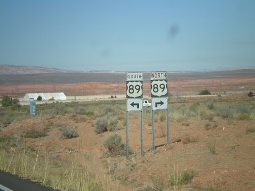
US-89 south at US-89A. Turn right for US-89A north to Fredonia and Kanab, UT. Continue on US-89 south for Flagstaff.
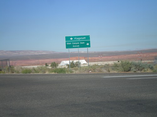
End AZ-89L at US-89
S. Lake Powell Blvd. at US-89. Use US-89 north for Glen Canyon Dam and Kanab. Use US-89 south for Flagstaff. Sign uses Clearview font.
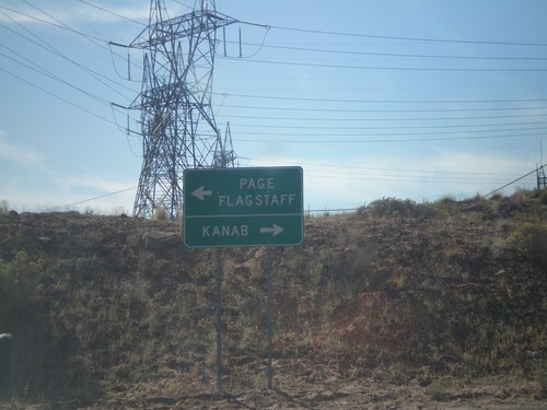
End AZ-89L at US-89
End N. Lake Powell Blvd. at US-89 north to Kanab (UT) and south to Page and Flagstaff.
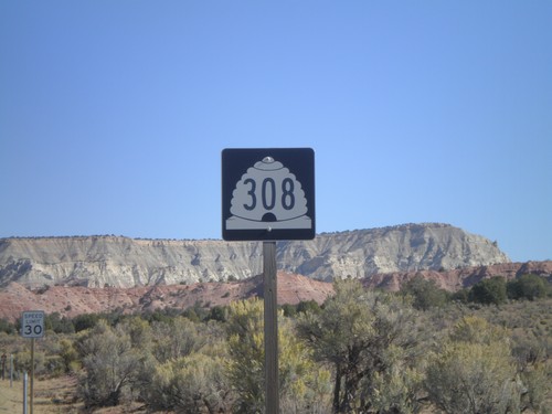
UT-308 North - Kodachrome Basin
UT-308 north on Kodachrome Basin Road. This was taken north of Cottonwood Wash Rd. junction. UT-308 does not connect to the state highway system.
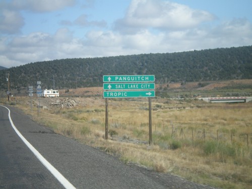
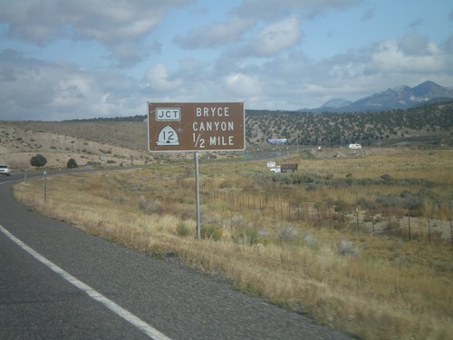
US-89 North Approaching UT-12 East
US-89 north approaching UT-12 east to Tropic. Use US-89 north for Salt Lake and Panguitch.
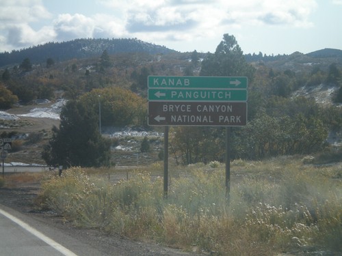
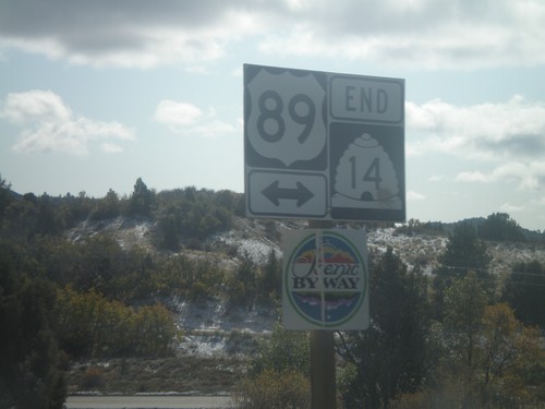
End UT-14 East at US-89
UT-14 east approaching US-89. Use US-89 north for Panguitch and Bryce Canyon. Use US-89 south for Kanab.
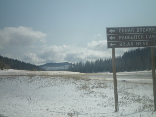
UT-14 East at UT-148
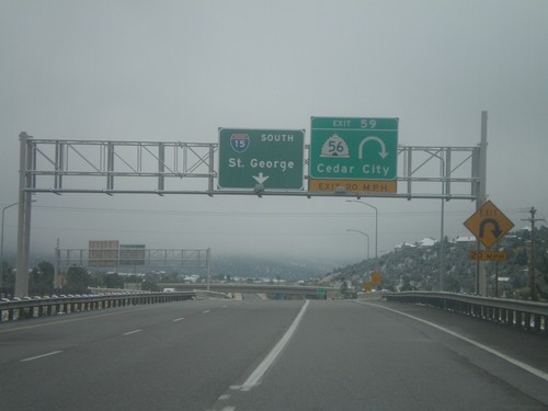
UT-14 east approaching UT-148 north to Cedar Breaks, Panguitch Lake, and Brian Head.
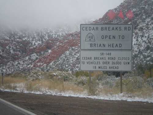
UT-14 East - Cedar Breaks Road Status
UT-14 east above Cedar City. Road closure information for UT-148/Cedar Breaks Road.
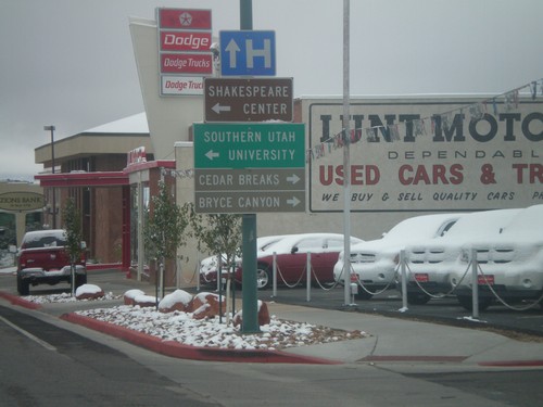
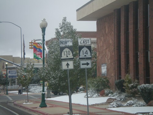
UT-130 North Approaching UT-14
UT-130 north approaching UT-14. Use UT-14 east for Cedar Breaks and Bryce Canyon. Turn left for Southern Utah University.
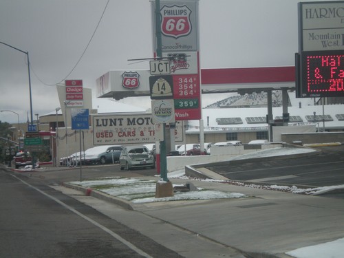
UT-130 North Approaching UT-14
UT-130 north approaching UT-14. UT-14 is marked as a Utah scenic byway.
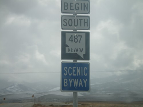
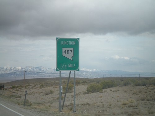
Begin NV-487 South
Begin NV-487 south in White Pine County. NV-487 is designated as a Nevada Scenic Byway for the entire length of the route.
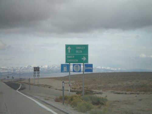
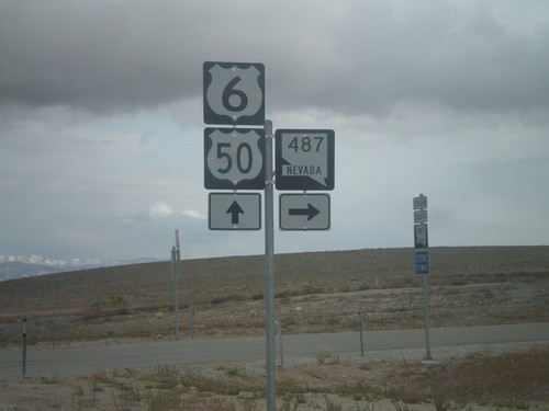
US-6/US-50 East At NV-487
US-6/US-50 east approaching NV-487. Turn right for NV-487 south to Baker and Garrison (Utah). Continue east on US-6/US-50 for Hinkley (Utah) and Delta (Utah).
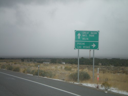
US-50 East/US-6 East/US-93 South at Majors Jct.
US-6 East/US-50 East/US-93 South at Majors Jct. Turn right for US-93 south to Pioche and Las Vegas. Continue straight on US-6/US-50 east for Great Basin National Park and Delta.
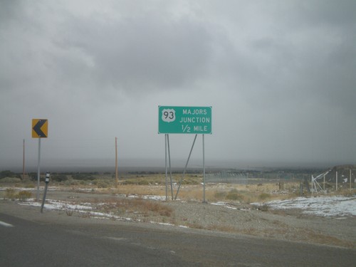
US-50 East/US-6 East/US-93 South Approaching Majors Jct.
US-50 East/US-6 East/US-93 South approaching Majors Jct. Most rural highway junctions in Nevada have a name.
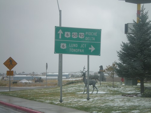
US-93 South/US-50 East at US-6
US-93 South/US-50 East at US-6 junction. US-6 combines with US-93 South to Majors Place; US-6 joins US-50 east to Delta, Utah. Turn right on US-6 west for Lund Junction and Tonopah. Continue straight on US-6/US-50 East/US-93 south for Pioche and Delta (Utah).
US-93 South at US-50 - Ely
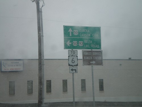
US-93 south at US-50 in Ely. US-50 joins US-93 south to Majors Place. Continue straight for US-50 west to Eureka and Carson City. Turn left for US-93 South/US-50 East to Delta (Utah), Las Vegas, and US-6.
US-93 North - Distance Marker
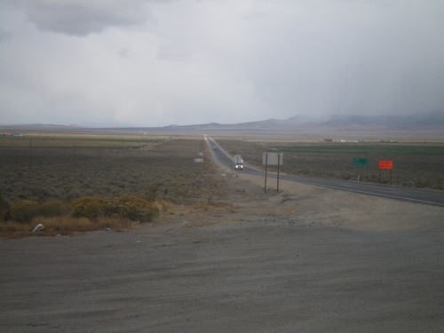
Distance marker on US-93 north. Distance to Currie, Wells, and Twin Falls (Idaho).
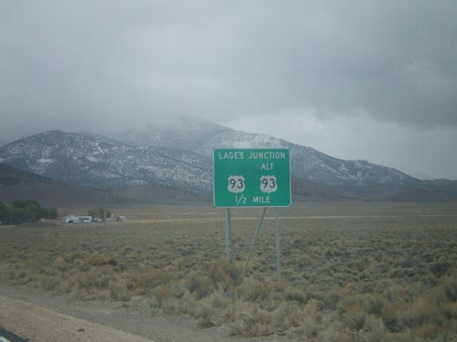
US-93 South At US-93 Alt. (Lages Jct)
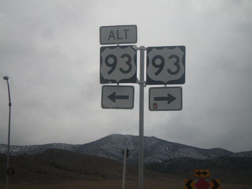
US-93 south at Alt. US-93 at Lages Junction. Turn right to continue south on US-93; left for Alt. US-93 North.
