Javascript Is Required To Use This Page

Signs From March 2009
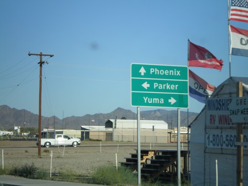
US-95 South at AZ-95

US-95 South at AZ-95

US-95 south at AZ-95.

US-95 South/BL-10 West at AZ-95/US-95

US-95 South/BL-10 West at AZ-95/US-95

US-95 North/BL-10 East at US-95 South/AZ-95 North. Use US-95 south for Yuma
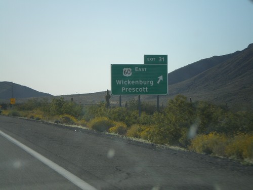
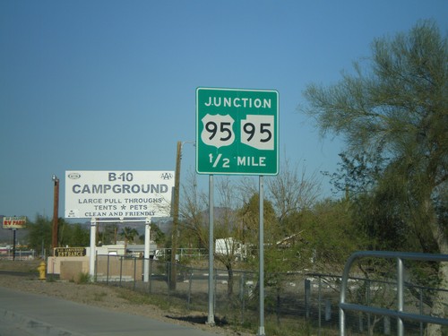
US-95 South Approaching AZ-95

US-95 South Approaching AZ-95

US-95 south approaching AZ-95.

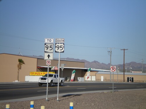
US-95 South To AZ-95

US-95 South To AZ-95

US-95 south to AZ-95.

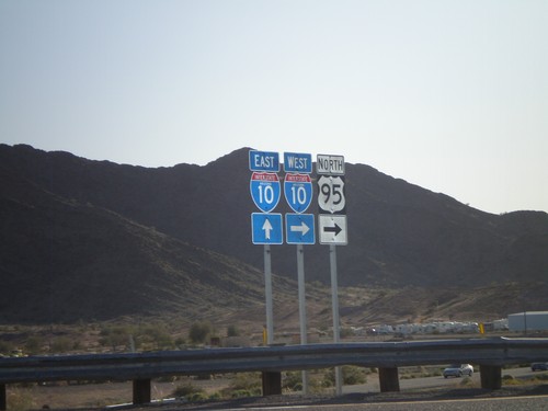
US-95 North at I-10 (Exit 17)

US-95 North at I-10 (Exit 17)

US-95 north at I-10. US-95 joins I-10 west to Blythe, CA.

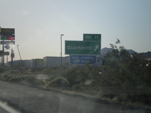
I-10 West - Exit 17

I-10 West - Exit 17

I-10 west at Exit 17 - Quartzsite.

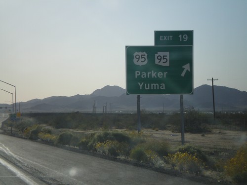
I-10 West - Exit 19

I-10 West - Exit 19

I-10 West at Exit 19 - US-95/AZ-95/Parker/Yuma

I-10 West - Exit 31

I-10 West - Exit 31

I-10 West at Exit 31 - US-60 East/Wickenburg/Prescott. This is the western terminus of US-60 west. The eastern terminus of US-60 is in Virginia Beach, VA.
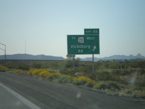
I-10 West - Exit 45

I-10 West - Exit 45

I-10 West at Exit 45 - US-60 East/Wickenburg/Prescott. This is the western terminus of US-60 west. The eastern terminus of US-60 is in Virginia Beach, VA.
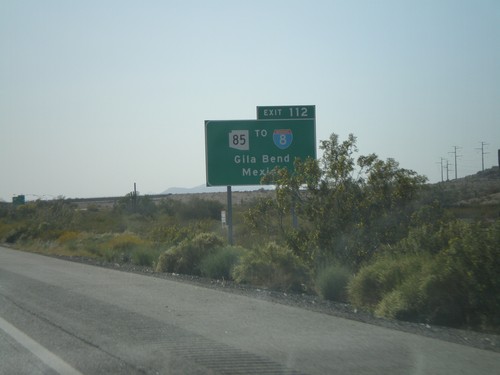
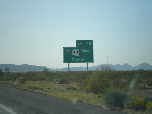
I-10 West Approaching Exit 45

I-10 West Approaching Exit 45

I-10 West approaching Exit 45 - Use Exit 45 for To AZ-72 West/Parker.

Hovatter Road South at I-10 Onramp

Hovatter Road South at I-10 Onramp

Hovatter Road South at I-10 Onramp (Exit 53)

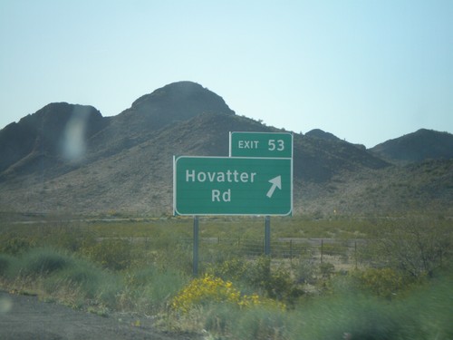
I-10 West - Exit 53

I-10 West - Exit 53

I-10 West at Exit 53 - Use Exit 45 for To AZ-72 West/Parker.

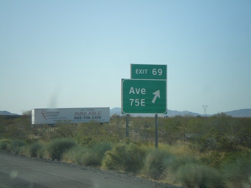
I-10 West - Exit 69

I-10 West - Exit 69

I-10 West at Exit 69 - Ave. 75E

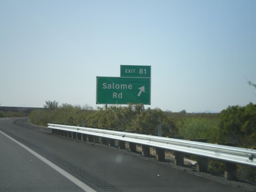
I-10 West -  Exit 81

I-10 West - Exit 81

I-10 west at Exit 81 - Salome Road

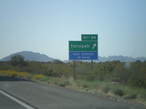
I-10 West - Exit 94

I-10 West - Exit 94

I-10 west at Exit 94 - Tonopah

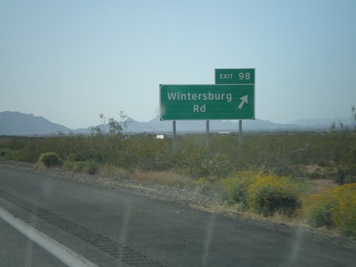
I-10 West - Exit 98

I-10 West - Exit 98

I-10 west at Exit 98 - Wintersburg Road

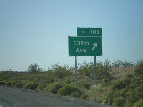
I-10 West - Exit 103

I-10 West - Exit 103

I-10 west at Exit 103 - 339th Ave.

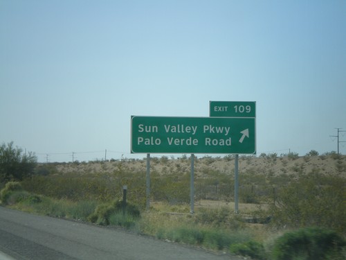
I-10 West - Exit 109

I-10 West - Exit 109

I-10 west at Exit 109 - Sun Valley Parkway/Palo Verde Road

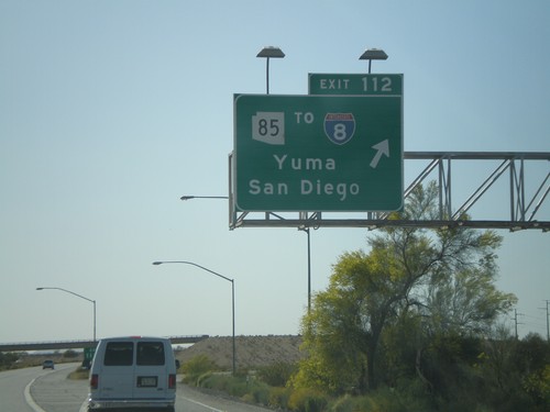
I-10 West -  Exit 112

I-10 West - Exit 112

I-10 west at Exit 112 - AZ-85/To I-8/Yuma/San Diego.

I-10 West Approaching Exit 112

I-10 West Approaching Exit 112

I-10 west approaching Exit 112 - Use Exit 112 for AZ-85/To I-8/Gila Bend/Mexico. The border crossing served by this exit is Lukeville,AZ/Sonoyta,Sonora.
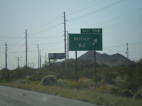
I-10 West - Exit 114

I-10 West - Exit 114

I-10 west at Exit 114 - Use Exit 112 for AZ-85/To I-8/Gila Bend/Mexico. The border crossing served by this exit is Lukeville,AZ/Sonoyta,Sonora.
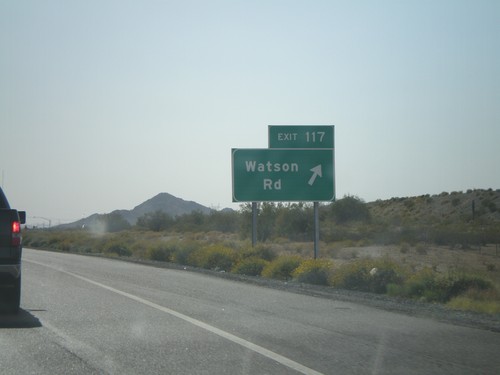
I-10 West - Exit 117

I-10 West - Exit 117

I-10 west at Exit 117 - Watson Road

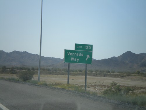
I-10 West - Exit 120

I-10 West - Exit 120

I-10 west at Exit 120 - Verrado Way

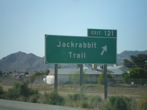
I-10 West - Exit 121

I-10 West - Exit 121

I-10 west at Exit 121 - Jackrabbit Trail

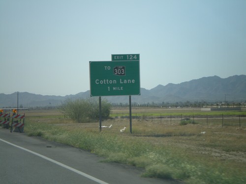
I-10 West - Exit 124

I-10 West - Exit 124

I-10 west at Exit 124 - To AZ-303 Loop/Cotton Lane. AZ-303 is the outermost of the three Phoenix beltways. Each of the three loops has a different color for the shield, although the newer signs just use white. The AZ-303 Loop shield is black.
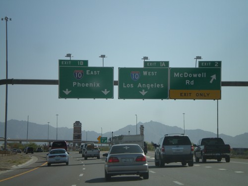
I-10 West Approaching  Exit 124

I-10 West Approaching Exit 124

I-10 west approaching Exit 124 - To AZ-303 Loop/Cotton Lane.

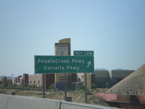
I-10 West - Exit 126

I-10 West - Exit 126

I-10 west at Exit 126 - Pebble Creek Parkway/Estrella Parkway

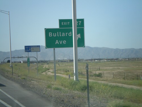
I-10 West - Exit 127

I-10 West - Exit 127

I-10 west at Exit 127 - Bullard Ave. This is a new interchange.

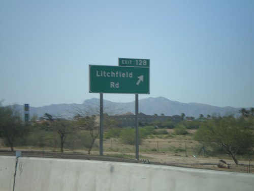
I-10 West - Exit 128

I-10 West - Exit 128

I-10 west at Exit 128 - Litchfield Road

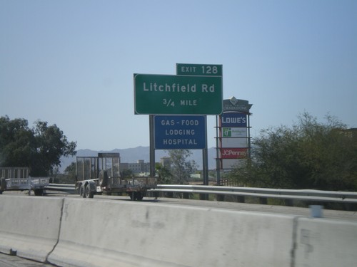
I-10 West Approaching Exit 128

I-10 West Approaching Exit 128

I-10 west approaching Exit 128 - Litchfield Road

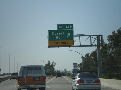
I-10 West - Exit 129

I-10 West - Exit 129

I-10 west at Exit 129 - Dysart Road

AZ-101 South - Exit 2 and Exit 1AB

AZ-101 South - Exit 2 and Exit 1AB

AZ-101 Loop South at Exit 2 - McDowell Road. Approaching Exit 1B - I-10 East/Phoenix.
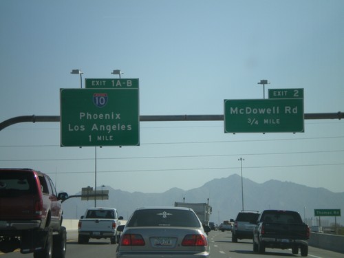
AZ-101 Loop South - Exit 2 and Exit 1AB

AZ-101 Loop South - Exit 2 and Exit 1AB

AZ-101 Loop South approaching Exit 2 - McDowell Road and Exit 1AB-I-10/Phoenix/Los Angeles.
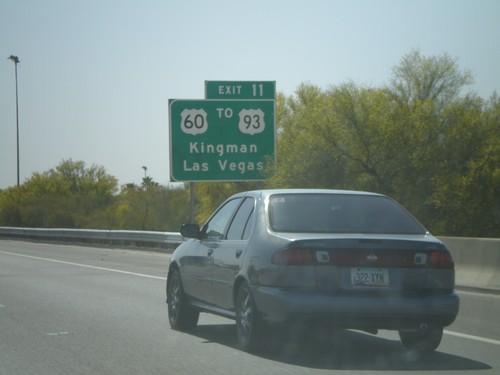
AZ-101 Loop South - Exit 11

AZ-101 Loop South - Exit 11

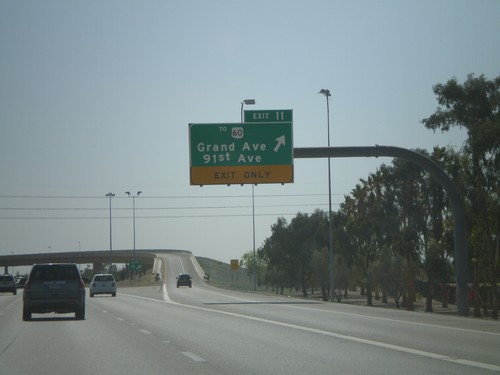
AZ-101 Loop South at Exit 11 - To US-60/Grand Ave./91st Ave.

AZ-101 Loop South Approaching Exit 11

AZ-101 Loop South Approaching Exit 11

AZ-101 Loop South approaching Exit 11. Use Exit 11 for US-60/To US-93/Kingman/Las Vegas.
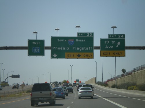
AZ-101 West -  Exit 23 and Exit 24

AZ-101 West - Exit 23 and Exit 24

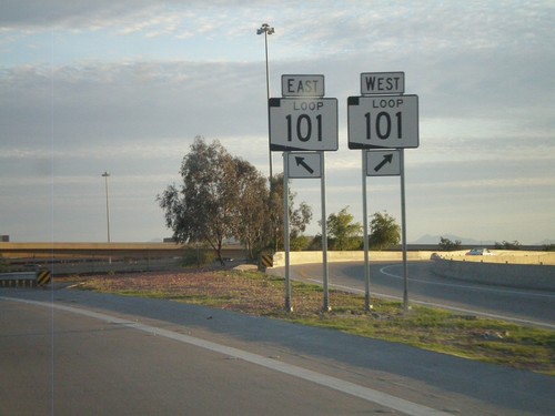
AZ-101 Loop West at Exit 24 - 19th Ave. Approaching Exit 23 - I-17/Phoenix/Flagstaff. All of the loop highways around Phoenix have different color shields on the older signs. AZ-101 Loop has a blue shield.
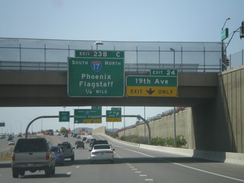
AZ-101 Loop West Approaching Exit 24 and Exit 23BC

AZ-101 Loop West Approaching Exit 24 and Exit 23BC

AZ-101 Loop West approaching Exit 24 - 19th Ave. Approaching Exit 23 - I-17/Phoenix/Flagstaff.
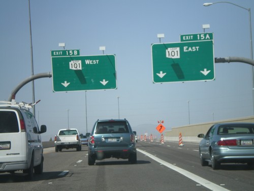
AZ-101 West - Pima Freeway

AZ-101 West - Pima Freeway

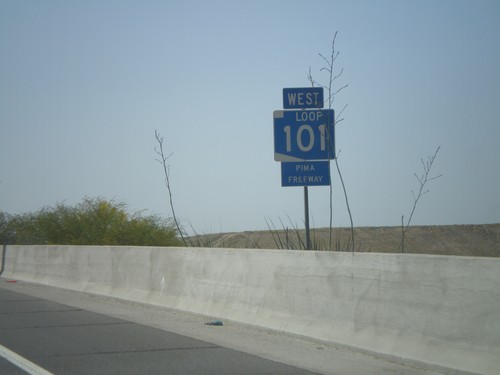
AZ-101 Loop West - Pima Freeway

End AZ-51 North at AZ-101 Loop

End AZ-51 North at AZ-101 Loop

End AZ-51 North at Exit 15A - AZ-101 Loop East and Exit 15B - AZ-101 Loop West.
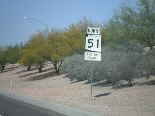
AZ-51 North -  Piestewa Freeway

AZ-51 North - Piestewa Freeway

AZ-51 North - Piestewa Freeway. Most freeways in the Phoenix area have names and are signed with the shields.
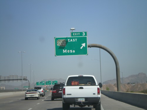
AZ-51 North - Exit 8

AZ-51 North - Exit 8

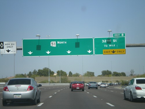
AZ-51 north at Exit 8 - 32nd St. No control city is given for AZ-51 North.

AZ-143 North - Exit 3

AZ-143 North - Exit 3

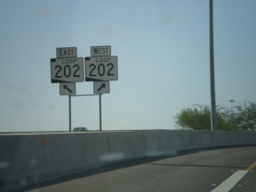
AZ-143 north at Exit 3 - AZ-202 Loop/Mesa. All of the loop roads in the Phoenix area have different color shields. AZ-202 Loop has a brown shield.
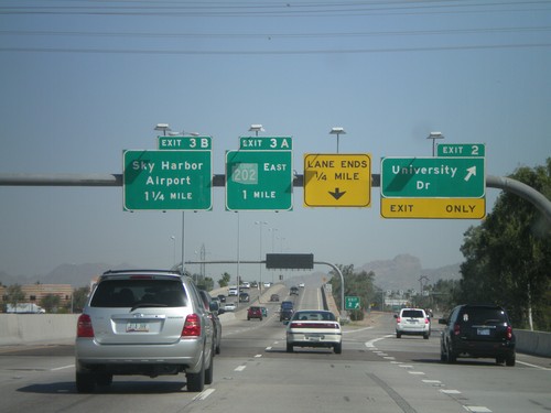
AZ-143 North -  Exit 2 and Exit 3AB

AZ-143 North - Exit 2 and Exit 3AB

AZ-143 north at Exit 2 - University Drive. Approaching Exit 3A - AZ-202 Loop East and Exit 3B - Sky Harbor Airport. The AZ-202 Loop shield appears to be faded. Normally AZ-202 Loop is a brown color.
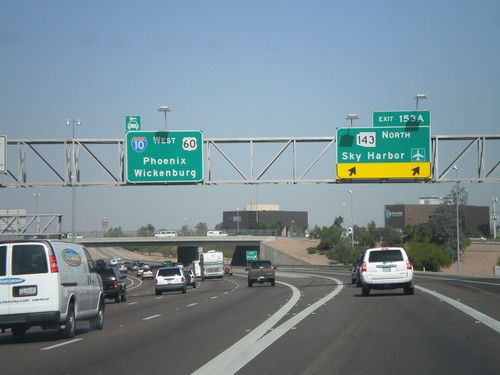
I-10 West -  Exit 153A

I-10 West - Exit 153A

I-10 west at Exit 153A - AZ-143 North/Sky Harbor Airport. Continue west for I-10/US-60 West/Phoenix/Wickenburg (via US-60).
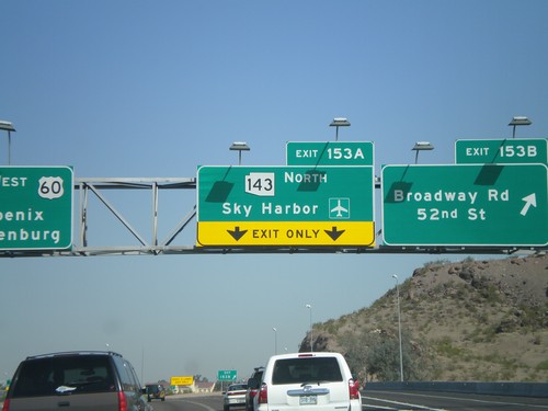
I-10 West - Exit 153B and Exit 153A

I-10 West - Exit 153B and Exit 153A

I-10 west at Exit 153B - Broadway Road/52nd St. Approaching Exit 153A - AZ-143 North/Sky Harbor Airport.
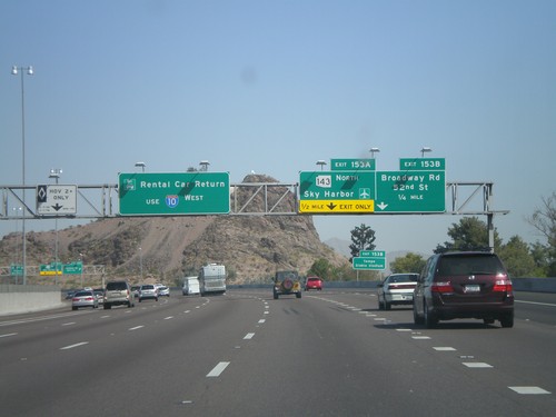
I-10 West - Exit 153A and Exit 153B

I-10 West - Exit 153A and Exit 153B

I-10 west approaching Exit 153B - Broadway Rd./52nd St. and Exit 153A - AZ-143 North/Sky Harbor Airport. Use I-10 west for Rental Car Returns.
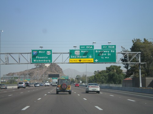
I-10 West Approaching  Exit 153A and Exit 153B

I-10 West Approaching Exit 153A and Exit 153B

I-10 west approaching Exit 153B - Broadway Road/52nd St. Approaching Exit 153A - AZ-143 North/Sky Harbor Airport. Overhead for I-10/US-60 West/Phoenix/Wickenburg (via US-60).
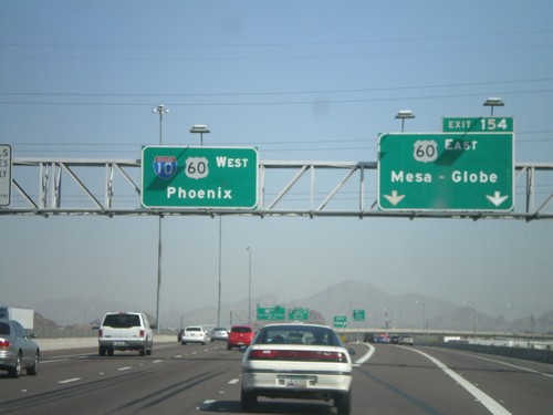
I-10 West -  Exit 154

I-10 West - Exit 154

I-10 west at Exit 154 - US-60 East/Mesa-Globe. Sign for I-10/US-60 West/Phoenix. US-60 joins I-10 west through downtown Phoenix.
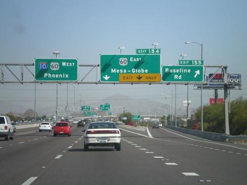
I-10 West - Exit 155 and Exit 154

I-10 West - Exit 155 and Exit 154

I-10 west at Exit 155 - Baseline Road. Approaching Exit 154 - US-60 East/Mesa-Globe. Sign for I-10/US-60 West/Phoenix.
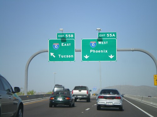
I-10 West - Exit 157

I-10 West - Exit 157

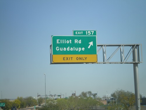
I-10 west at Exit 157 - Elliot Road/Guadalupe

I-10 West - Exit 158

I-10 West - Exit 158

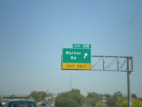
I-10 west at Exit 158 - Warner Road

I-10 West - Exit 159

I-10 West - Exit 159

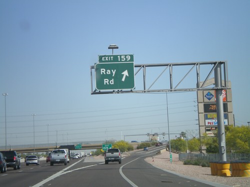
I-10 west at Exit 159 - Ray Road

AZ-202 West - Exit 55AB

AZ-202 West - Exit 55AB

AZ-202 West Exit 55 Offramp at Exit 55B - I-10 East/Tucson and Exit 55A - I-10 West/Phoenix.
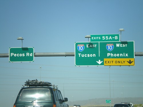
End AZ-202 West at I-10

End AZ-202 West at I-10

End AZ-202 Loop west at I-10 - Exit 55AB - Tucson/Phoenix. Continue straight for Pecos Road.
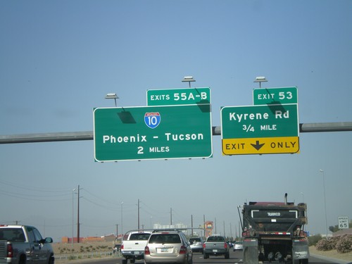
AZ-202 Loop West Approaching Exit 53 and Exit 55AB

AZ-202 Loop West Approaching Exit 53 and Exit 55AB

AZ-202 Loop west approaching Exit 53 - Kyrene Road. Approaching 55AB - I-10/Phoenix-Tucson.
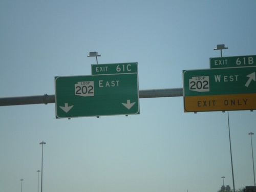
End AZ-101 Loop at AZ-202 Loop

End AZ-101 Loop at AZ-202 Loop

End AZ-101 Loop at AZ-202 Loop.

AZ-101 Loop South - Exit 61BC

AZ-101 Loop South - Exit 61BC

AZ-101 Loop south at Exit 61B - AZ-202 Loop West and Exit 61C - AZ-202 Loop East. This is the southern end of AZ-101 Loop.
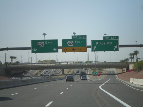
AZ-101 Loop South - Exit 61 AB

AZ-101 Loop South - Exit 61 AB

AZ-101 Loop south at Exit 61A - Price Road. Approaching Exit 61B - AZ-202 Loop West and Exit 61C - AZ-202 Loop East.
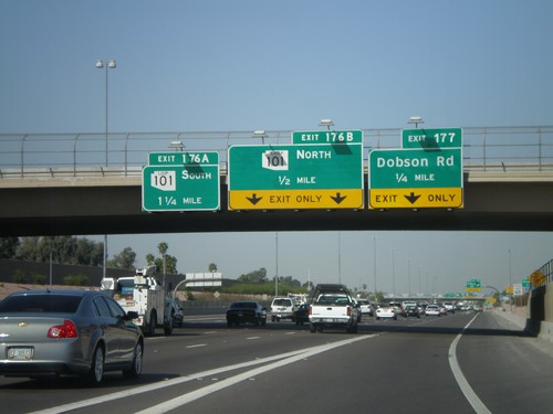
US-60 West Approaching Exit 177 and Exit 176AB

US-60 West Approaching Exit 177 and Exit 176AB

US-60 west approaching Exit 177 - Dobson Road. Approaching Exit 176B - AZ-101 Loop North and Exit 176A - AZ-101 Loop South.
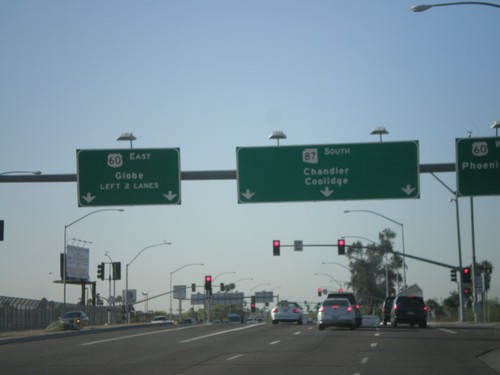
AZ-87 South at US-60

AZ-87 South at US-60

AZ-87 South (Country Club Dr) at US-60 west to Phoenix and east to Globe. Continue south on AZ-87 to Chandler and Coolidge.
I-10 West - Exit 275

I-10 West - Exit 275

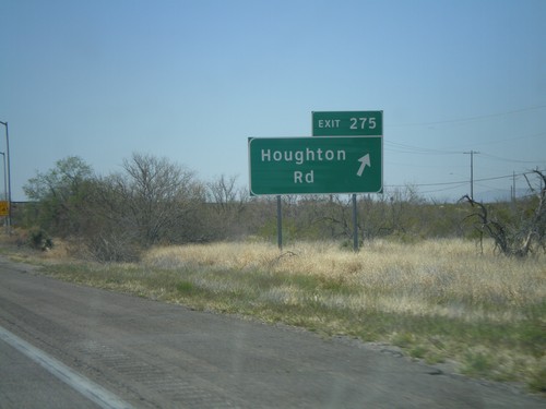
I-10 west at Exit 275 - Houghton Road

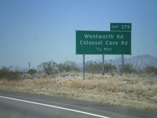
I-10 West Approaching Exit 279

I-10 West Approaching Exit 279

I-10 west approaching Exit 279 - Wentworth Road/Colossal Cave Road.

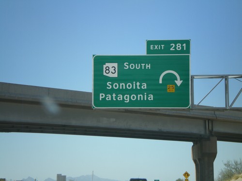
I-10 West - Exit 281

I-10 West - Exit 281

I-10 west at Exit 281 - AZ-83 South/Sonoita/Patagonia

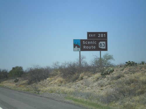
I-10 West Approaching Exit 281

I-10 West Approaching Exit 281

I-10 west approaching Exit 281. AZ-83 is an Arizona Scenic Route.

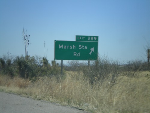
I-10 West - Exit 289

I-10 West - Exit 289

I-10 west at Exit 289 - Marsh Station Road.

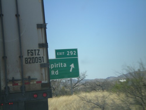
I-10 West - Exit 292

I-10 West - Exit 292

I-10 west at Exit 292 - Empirita Road.

I-10 West - Exit 297

I-10 West - Exit 297

I-10 west at Exit 297 - J Six Ranch Road/Mescal Road

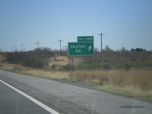
I-10 West -  Exit 299

I-10 West - Exit 299

I-10 west at Exit 299 - Skyline Road.

AZ-90 North Approaching I-10

AZ-90 North Approaching I-10

AZ-90 north approaching I-10.

AZ-90 North Approaching I-10

AZ-90 North Approaching I-10

AZ-90 north approaching I-10.

AZ-82 East At AZ-90

AZ-82 East At AZ-90

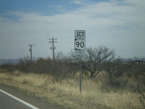
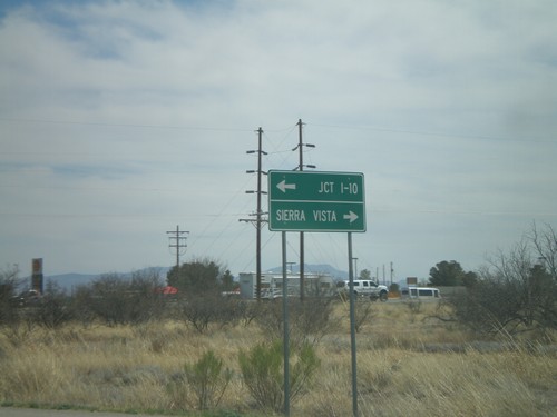
AZ-82 east at AZ-90. Use AZ-90 north for Jct. I-10. Use AZ-90 south for Sierra Vista.
AZ-82 East Approaching AZ-90

AZ-82 East Approaching AZ-90

AZ-82 east approaching AZ-90.

AZ-82 East at AZ-83

AZ-82 East at AZ-83

AZ-82 east at AZ-83.

AZ-82 East Approaching AZ-83

AZ-82 East Approaching AZ-83

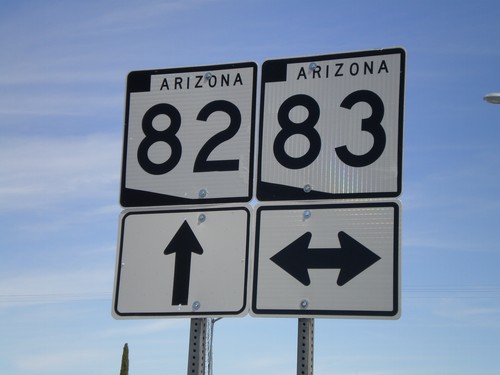
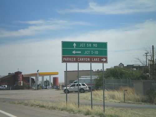
AZ-82 east approaching AZ-83. Use AZ-83 north for I-10. Use AZ-83 south for Parker Canyon Lake.
AZ-82 East - Entering Patagonia

AZ-82 East - Entering Patagonia

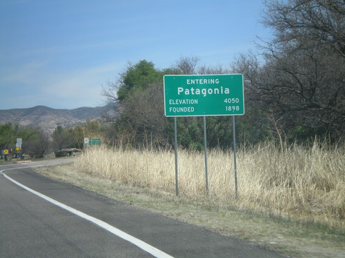
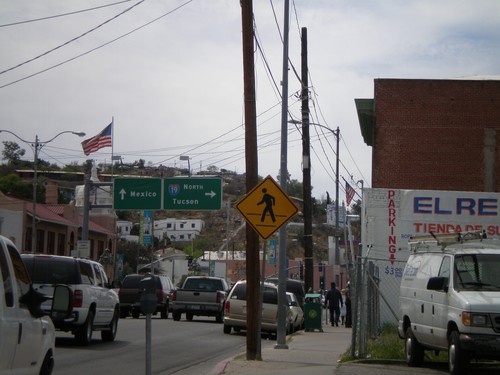
Entering Patagonia on AZ-82 East. Elevation 4,050. Founded in 1898.

Begin AZ-82 East

Begin AZ-82 East

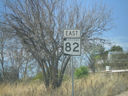
First AZ-82 shield eastbound.

BL-19 South at AZ-82

BL-19 South at AZ-82

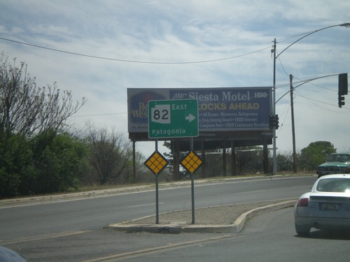
BL-19 south at AZ-82 east to Patagonia.

BL-19 South at I-19 and Border Crossing

BL-19 South at I-19 and Border Crossing

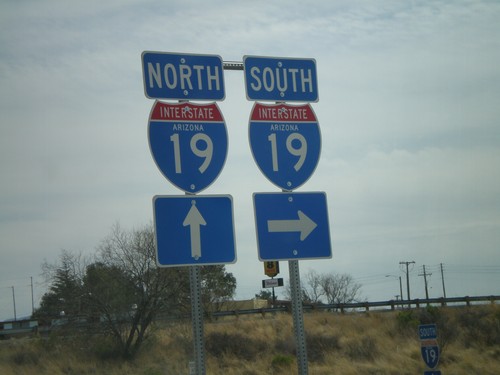
BL-19 south at I-19 north to Tucson. Continue on BL-19 south for the border crossing into Mexico. This is the beginning of I-19.
I-19 at Crawford St. - Border Crossing Station

I-19 at Crawford St. - Border Crossing Station

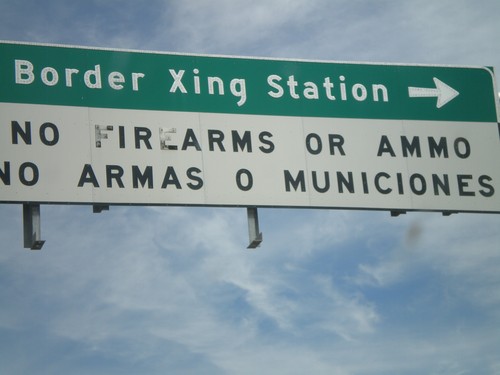
I-19 at Crawford St. Turn left on Crawford St. for the Border Crossing Station. There is a bilingual warning about bringing firearms and ammunition into Mexico.
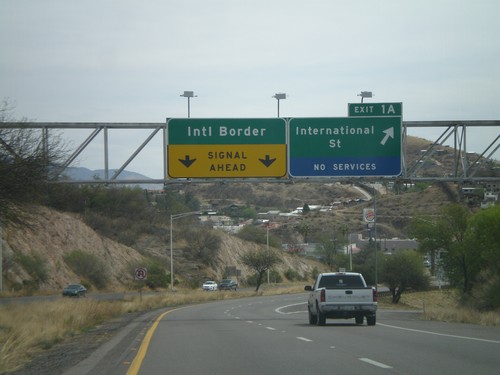
I-19 South - Exit 1A

I-19 South - Exit 1A

I-19 south at Exit 1A - International St. I-19 continues towards the International Border with Mexico.
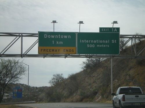
I-19 South Approaching Exit 1A

I-19 South Approaching Exit 1A

I-19 south approaching Exit 1A - International St. Freeway ends after Exit 1A in Downtown Nogales.
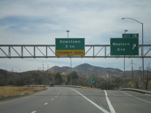
I-19 South - Exit 1B

I-19 South - Exit 1B

I-19 south at Exit 1B - Western Ave. I-19 continues south towards downtown Nogales.
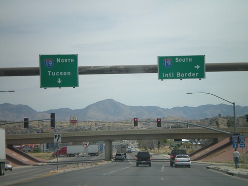
AZ-189 North at I-19

AZ-189 North at I-19

AZ-189 north at I-19 onramp.

AZ-189 North Approaching I-19

AZ-189 North Approaching I-19

AZ-189 north approaching I-19. Use I-19 south for the International Border. Use I-19 north for Tucson.
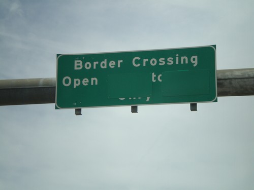
Border Corssing Status on AZ-189 South

Border Corssing Status on AZ-189 South

Border crossing status on AZ-189 south for the truck border crossing. The port is currently open.
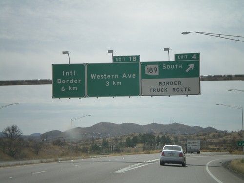
I-19 South - Exit 4 and Exit 1B

I-19 South - Exit 4 and Exit 1B

I-19 south at Exit 4 - AZ-189 South/Border Truck Route. Approaching Exit 1B - Western Ave. The international border with Mexico is 6 km to the south via I-19.
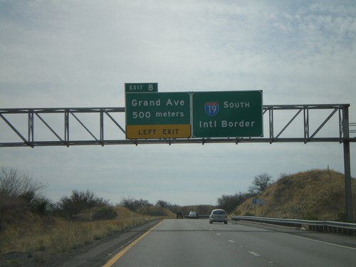
I-19 South - Exit 8

I-19 South - Exit 8

I-19 south approaching Exit 8 - Grand Ave. I-19 continues south towards the International Border with Mexico. Grand Ave. is the Nogales business loop.
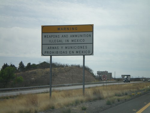
I-19 South - Weapons Illegal In Mexico

I-19 South - Weapons Illegal In Mexico

Bilingual warning about prohibition of weapons and ammunition in Mexico on I-19 south. There is another warning further south on I-19.
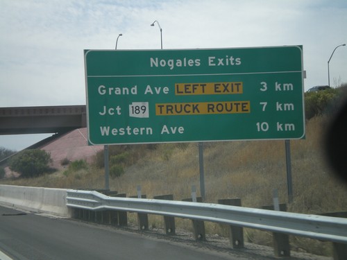
I-19 South - Nogales Exits

I-19 South - Nogales Exits

Nogales Exits on I-19 south. Distance to Grand Ave., AZ-189, and Western Ave.
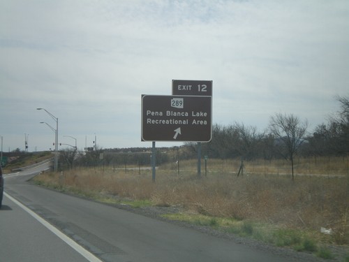
I-19 South - Exit 12

I-19 South - Exit 12

I-19 south at Exit 12 - AZ-289/Pena Blanca Lake Recreational Area. The sign is colored brown.
I-19 South - Exit 17

I-19 South - Exit 17

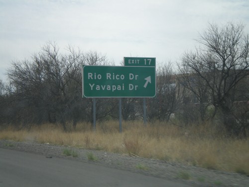
I-19 south at Exit 17 - Rio Rico Drive/Yavapai Drive.

I-19 South - Exit 22

I-19 South - Exit 22

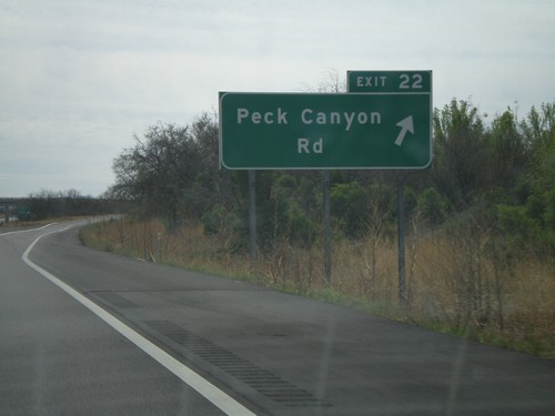
I-19 south at Exit 22 - Peck Canyon Road.

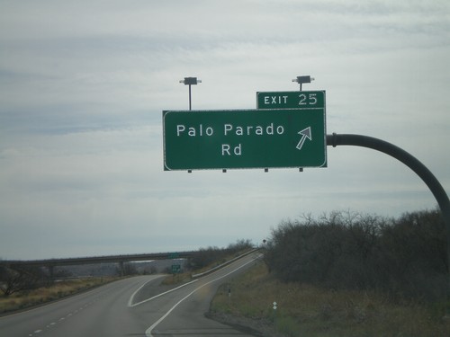
I-19 South - Exit 25

I-19 South - Exit 25

I-19 south at Exit 25 - Palo Parado Road.

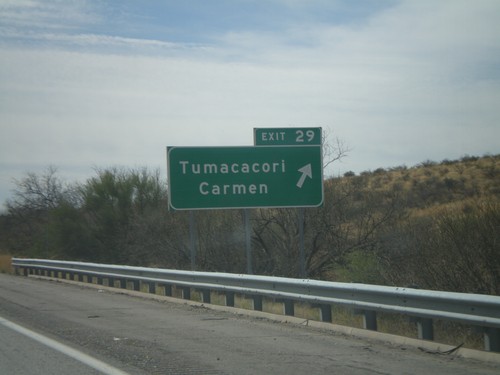
I-19 South - Exit 29

I-19 South - Exit 29

I-19 south at Exit 29 - Tumacacori/Carmen.

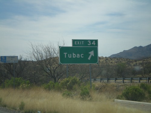
I-19 South - Exit 34

I-19 South - Exit 34

I-19 south at Exit 34 - Tubac.

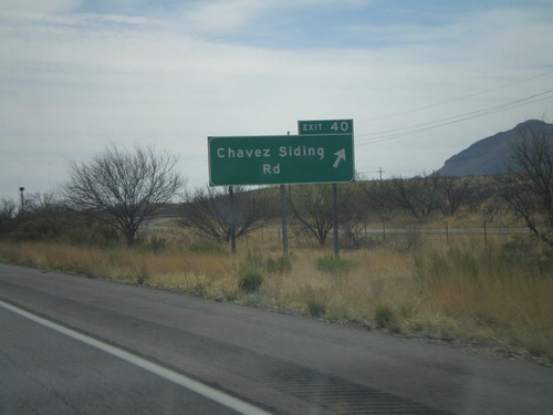
I-19 South - Exit 40

I-19 South - Exit 40

I-19 south at Exit 40 - Chavez Siding Road.

I-19 South - Exit 42

I-19 South - Exit 42

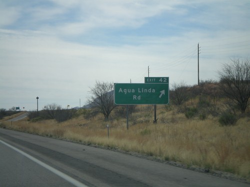
I-19 south at Exit 42 - Agua Linda Road.

I-19 South - Exit 48

I-19 South - Exit 48

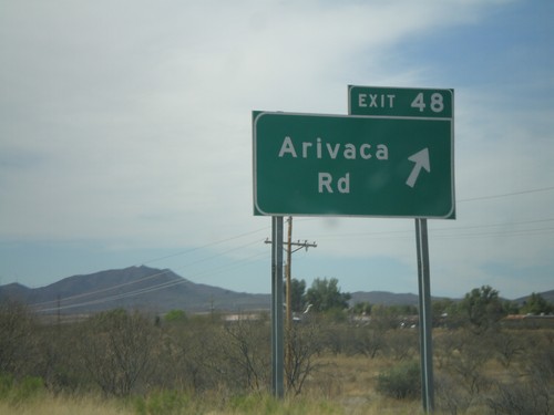
I-19 south at Exit 48 - Arivaca Road.

I-19 South - Exit 56

I-19 South - Exit 56

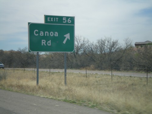
I-19 south at Exit 56 - Canoa Road.

I-19 South - Exit 63

I-19 South - Exit 63

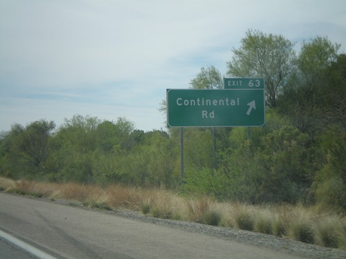
I-19 south at Exit 63 - Continental Road.

I-19 South - Exit 65

I-19 South - Exit 65

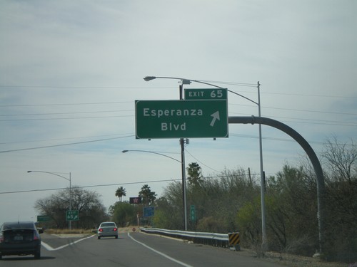
I-19 south at Exit 65 - Esperanza Blvd.

I-19 South - Exit 69

I-19 South - Exit 69

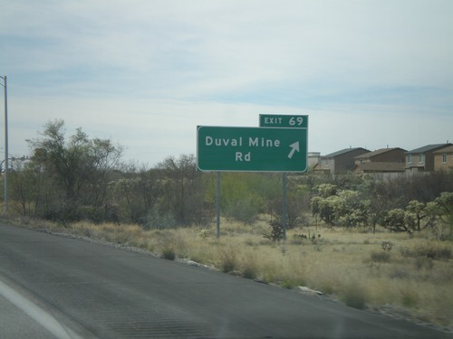
I-19 south at Exit 69 - Duval Mine Road.

I-19 South - Exit 75

I-19 South - Exit 75

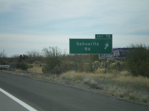
I-19 south at Exit 75 - Sahuarita Road.

I-19 South - Exit 80

I-19 South - Exit 80

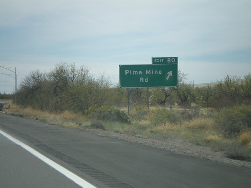
I-19 south at Exit 80 - Pima Mine Road.

I-19 South - Exit 87

I-19 South - Exit 87

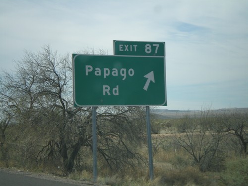
I-19 south at Exit 87 - Papago Road.

I-19 South - Exit 92

I-19 South - Exit 92

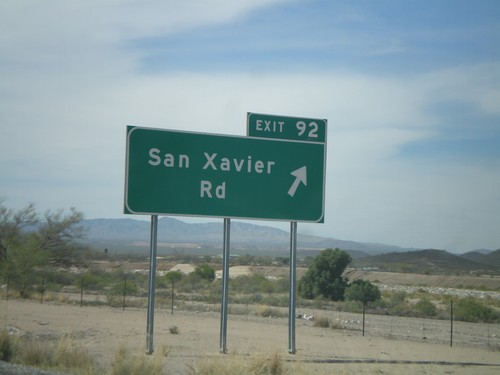
I-19 south at Exit 92 - San Xavier Road.

I-19 South - Exit 95

I-19 South - Exit 95

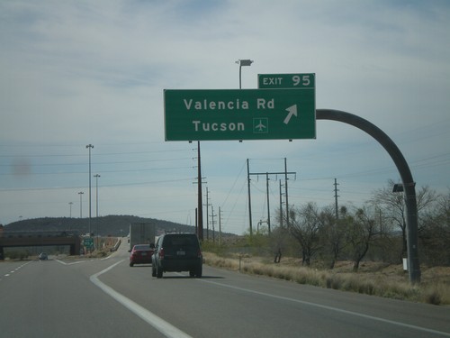
I-19 south at Exit 95 - Valencia Road/Tucson Airport.

I-19 South Approaching Exit 95

I-19 South Approaching Exit 95

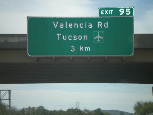
I-19 south approaching Exit 95 - Valencia Road/Tucson Airport in 3km.

I-19 South - Exit 98

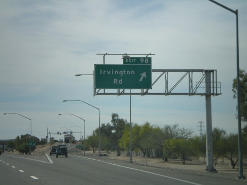
I-19 South - Exit 98

I-19 south at Exit 98 - Irvington Road.

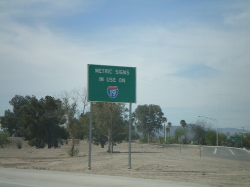
Metric Signs In Use on I-19 South

Metric Signs In Use on I-19 South

Metric Signs in Use on I-19 South. All distance markers and interchanges marked in kilometers or meters. Mileposts are signed in kilometers. There are mileposts signed as miles that are parallel to the road (signed 90 degrees to the standard signs).
I-19 South - Exit 99

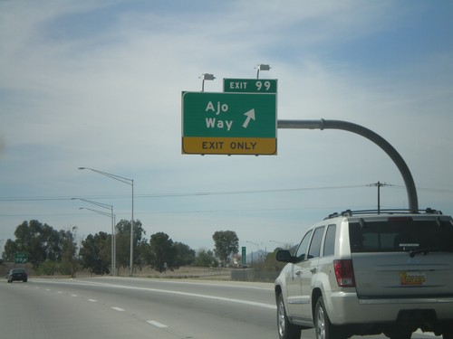
I-19 South - Exit 99

I-19 south at Exit 99 - Ajo Way.

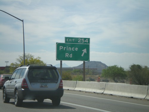
I-10 East - Exit 254

I-10 East - Exit 254

I-10 east at Exit 254 - Prince Road. When this was taken all downtown Tucson traffic had to exit here because of a large construction project on I-10 east of here.
I-10 East - Exit 252

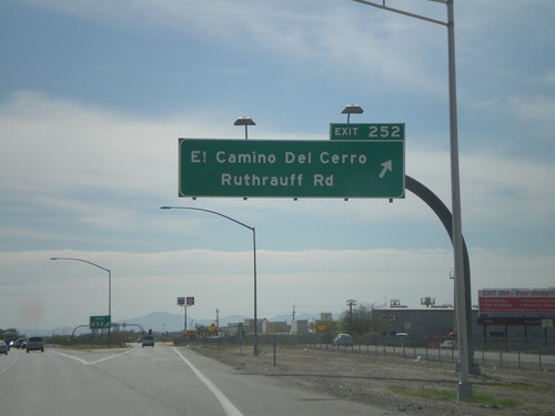
I-10 East - Exit 252

I-10 east at Exit 252 - El Camino Del Cerro/Ruthrauff Road.

I-10 East -  Exit 251

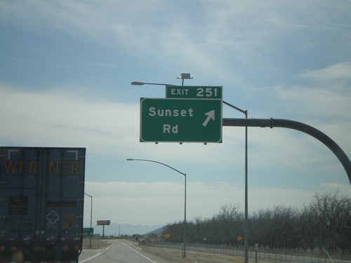
I-10 East - Exit 251

I-10 east at Exit 251 - Sunset Road.

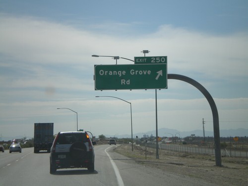
I-10 East - Exit 250

I-10 East - Exit 250

I-10 east at Exit 250 - Orange Grove Road.

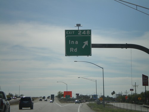
I-10 East - Exit 248

I-10 East - Exit 248

I-10 east at Exit 248 - Ina Road.

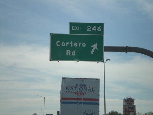
I-10 East - Exit 246

I-10 East - Exit 246

I-10 east at Exit 246 - Cortaro Road.

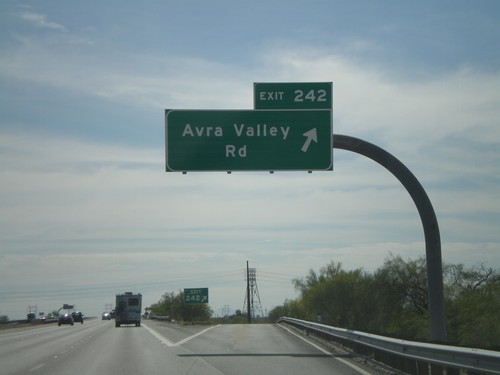
I-10 East - Exit 242

I-10 East - Exit 242

I-10 east at Exit 242 - Avra Valley Road.

I-10 East - Exit 240

I-10 East - Exit 240

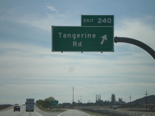
I-10 east at Exit 240 - Tangerine Road.

I-10 East - Exit 236

I-10 East - Exit 236

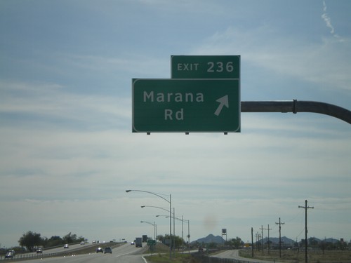
I-10 east at Exit 236 - Marana Road.

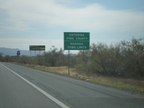
I-10 East - Pima County Line

I-10 East - Pima County Line

Entering Pima County on I-10 east. Also entering the town of Marana. Taken on the Pima-Pinal County Line.
I-10 East -  Exit 232

I-10 East - Exit 232

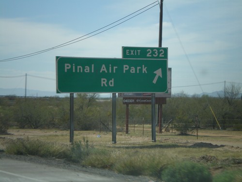
I-10 east at Exit 232 - Pinal Air Park Road/

I-10 East - Exit 226

I-10 East - Exit 226

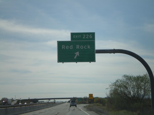
I-10 east at Exit 226 - Red Rock.

I-10 East - Exit 219

I-10 East - Exit 219

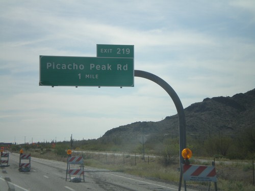
I-10 east approaching Exit 219 - Picacho Peak Road.

I-10 East - Exit 211B

I-10 East - Exit 211B

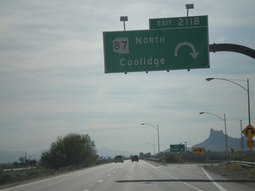
I-10 east at Exit 211B - AZ-87 North/Coolidge.

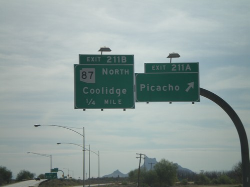
I-10 East - Exit 211A and Exit 211B

I-10 East - Exit 211A and Exit 211B

I-10 east at Exit 211A - Picacho. Approaching Exit 211B - AZ-87 North/Coolidge.
I-10 East - Exit 208

I-10 East - Exit 208

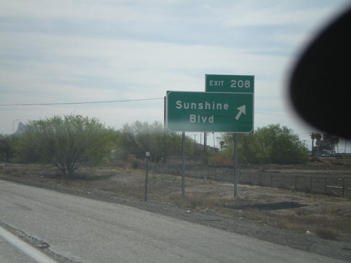
I-10 east at Exit 208 - Sunshine Blvd.

I-10 East - Exit 203

I-10 East - Exit 203

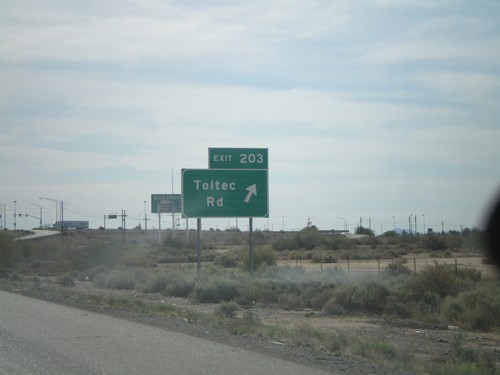
I-10 East at Exit 203 - Toltec Road.

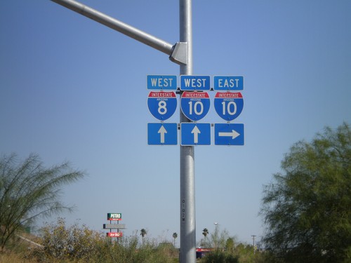
I-10 Onramp at Exit 200

I-10 Onramp at Exit 200

I-10 onramp at Exit 200. For I-8 west traffic use I-10 west. I-8 is the next exit westbound on I-10.
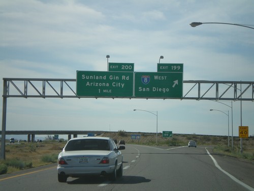
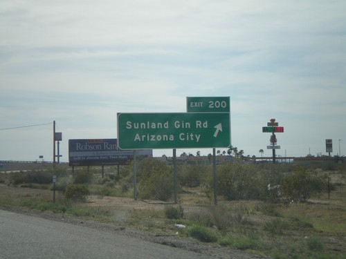
I-10 East - Exit 200

I-10 East - Exit 200

I-10 East at Exit 200 - Sunland Gin Road/Arizona City.

I-10 East - Exit 199 and Exit 200

I-10 East - Exit 199 and Exit 200

I-10 east at Exit 199 - I-8 West/San Diego. Approaching Exit 200 - Sunland Gin Road/Arizona City. This is the eastern terminus of I-8.
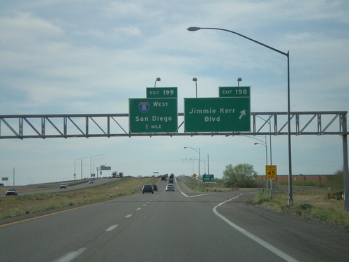
I-10 East - Exit 198 and Exit 199

I-10 East - Exit 198 and Exit 199

I-10 east at Exit 198 - Jimmie Kerr Blvd. Approaching Exit 199 - I-8 West/San Diego.
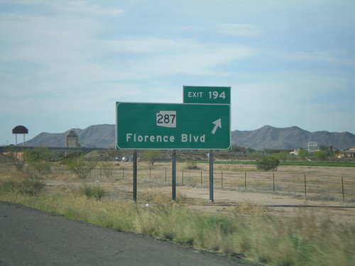
I-10 East - Exit 194

I-10 East - Exit 194

I-10 east at Exit 194 - AZ-287/Florence Blvd.

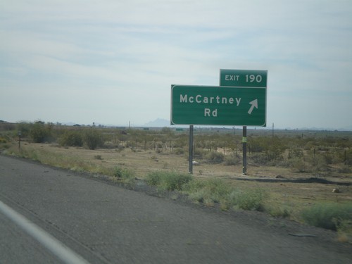
I-10 East - Exit 190

I-10 East - Exit 190

I-10 east at Exit 190 - McCartney Road.

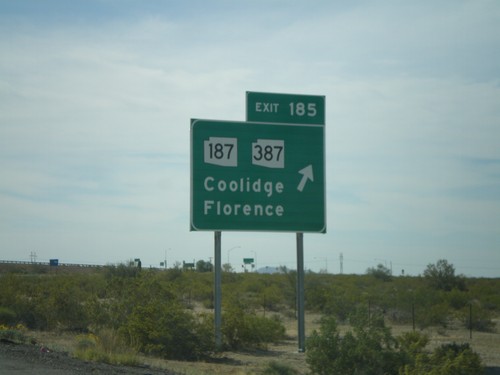
I-10 East - Exit 185

I-10 East - Exit 185

I-10 east at Exit 185 - AZ-187/AZ-387/Coolidge/Florence

I-10 East - Exit 175

I-10 East - Exit 175

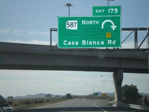
I-10 east at Exit 175 - AZ-587 North/Casa Blanca Road.

I-10 East - Exit 167

I-10 East - Exit 167

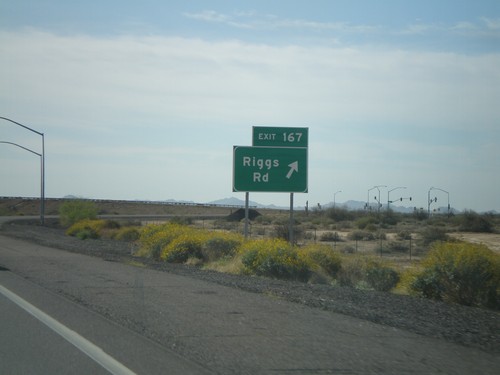
I-10 east at Exit 167 - Riggs Road.

I-10 East - Exit 164

I-10 East - Exit 164

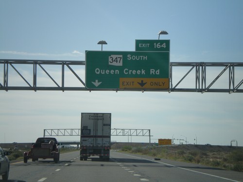
I-10 east at Exit 164 - AZ-347 South/Queen Creek Road.

I-10 East - Exit 162

I-10 East - Exit 162

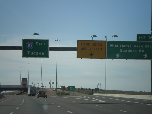
I-10 east at Exit 162 - Wild Horse Pass Blvd./Sundust Road. Overhead for I-10 East/Tucson.
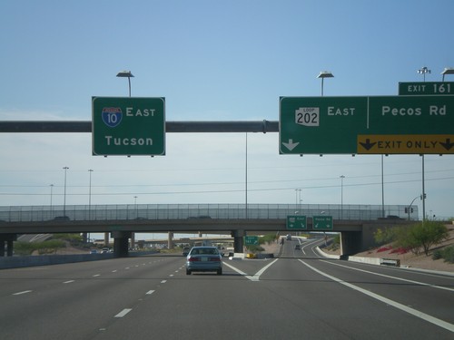
I-10 East - Exit 161

I-10 East - Exit 161

I-10 east at Exit 161 - AZ-202 Loop East/Pecos Road. Overhead for I-10 east to Tucson.
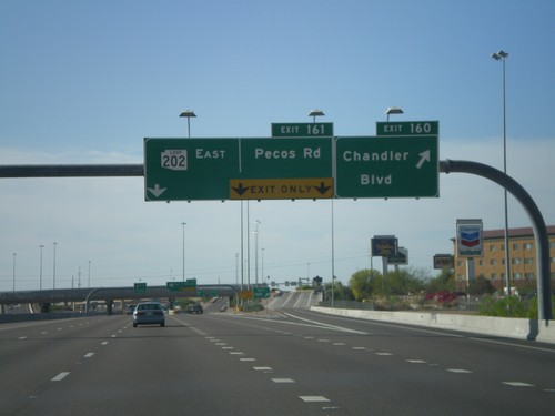
I-10 East - Exit 160 and Exit 161

I-10 East - Exit 160 and Exit 161

I-10 east at Exit 160 - Wild Horse Pass Blvd./Sundust Road. Overhead for I-10 East/Tucson.
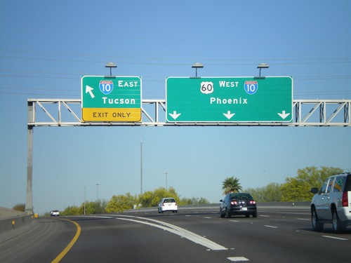
US-60 West at I-10

US-60 West at I-10

US-60 west at Exit I-10. Use I-10 east for Tucson. US-60 west joins I-10 west towards Phoenix.
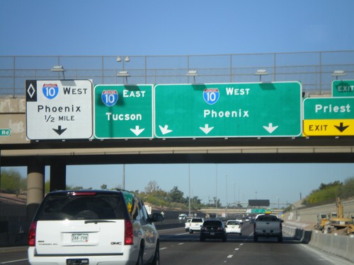
US-60 West at Exit 172 Approaching I-10

US-60 West at Exit 172 Approaching I-10

US-60 west at Exit 172 - Priest Drive. Approaching I-10/Phoenix/Tucson. I-10 westbound HOV lane on left lane.
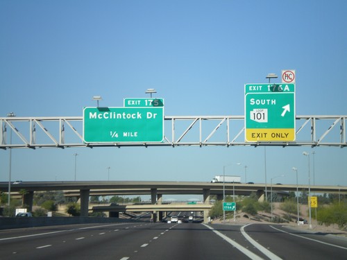
US-60 West - Exit 176A and Exit 175

US-60 West - Exit 176A and Exit 175

US-60 west at Exit 176A - AZ-101 Loop South. Approaching Exit 175 - McClintock Drive.
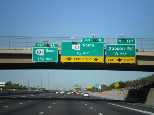
US-60 West - Superstition Freeway

US-60 West - Superstition Freeway

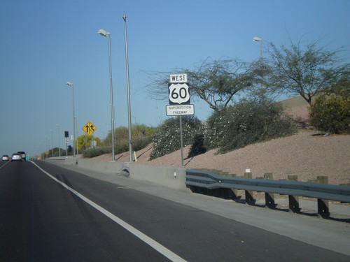
US-60 West - Superstition Freeway

US-60 West approaching Exit 176AB and Exit 177

US-60 West approaching Exit 176AB and Exit 177

US-60 west at Exit 177 - Dobson Road. Approaching Exit 176B - AZ-101 Loop North and Exit 176A - AZ-101 Loop South.
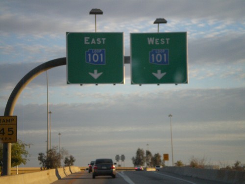
I-17 South at Exit 214C - AZ-Loop 101 Split

I-17 South at Exit 214C - AZ-Loop 101 Split

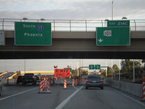
I-17 South at Exit 214C - AZ-101 Loop Split.

Blue AZ-101 Loop On I-17 South Exit 214C

Blue AZ-101 Loop On I-17 South Exit 214C

I-17 South at Exit 214C offramp. Use right lanes for AZ-101 Loop West
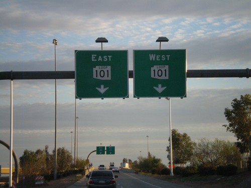
I-17 South at Exit 214C Offramp

I-17 South at Exit 214C Offramp

I-17 South at Exit 214C offramp. Use right lanes for AZ-101 Loop West
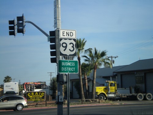
I-17 South at Exit 214C

I-17 South at Exit 214C

I-17 South at Exit 214C - AZ-101 Loop. I-17 continues south to Phoenix.

US-60 East at AZ-74

US-60 East at AZ-74

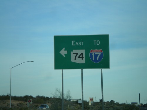
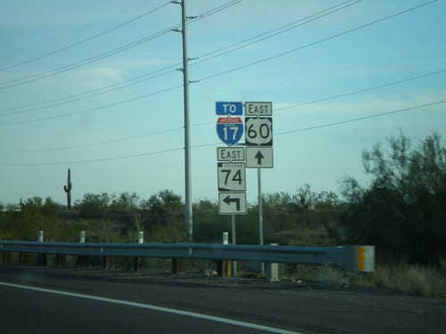
US-60 east at AZ-74 east to I-17.

US-60 East Approaching AZ-74

US-60 East Approaching AZ-74

US-60 east approaching AZ-74 east to I-17.

US-60 East Approaching AZ-74

US-60 East Approaching AZ-74

US-60 east approaching AZ-74 east to I-17.

US-60 East Approaching AZ-74

US-60 East Approaching AZ-74

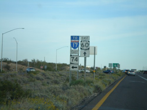
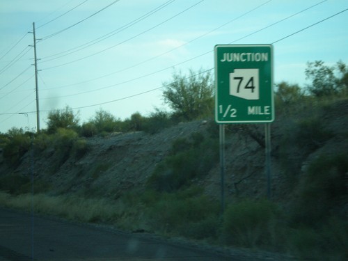
US-60 east approaching AZ-74.

End US-93 South at US-60

End US-93 South at US-60

End US-93 south at US-60. US-93 continues north from here to Eureka, MT and crosses into Canada at the Port of Roosville. US-93 becomes BC-93 and later AB-93 ending in Jasper, Alberta.
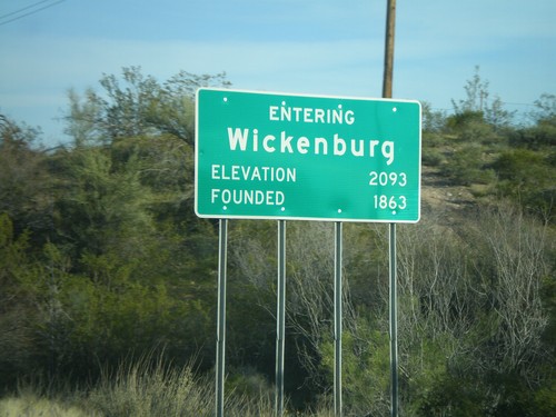
US-93 South Approaching US 60

US-93 South Approaching US 60

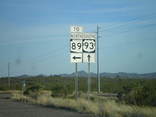
US-93 south approaching US-60.

US-93 South - Entering Wickenburg

US-93 South - Entering Wickenburg

Entering Wickenburg on US-93 South. Elevation 2,093 Feet. Founded 1863.
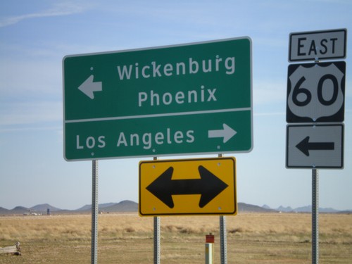
US-93 South at AZ-89

US-93 South at AZ-89

US-93 South at access road to AZ-89 in Yavapai County.

US-93 South Approaching AZ-89

US-93 South Approaching AZ-89

US-93 south approaching AZ-89.

AZ-71 North at US-93

AZ-71 North at US-93

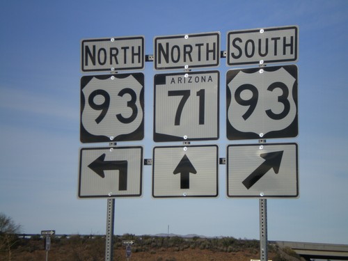
AZ-71 north at US-93.

AZ-71 North Approaching US-93

AZ-71 North Approaching US-93

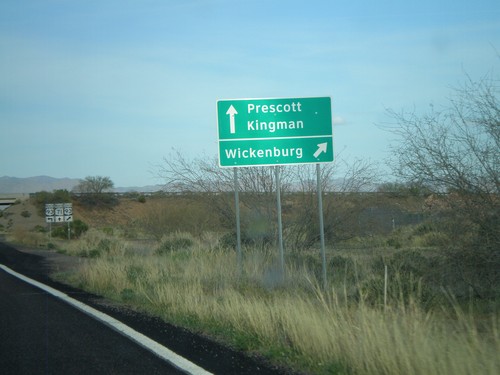
AZ-71 north approaching US-93. Use US-93 south for Wickenburg

AZ-71 North Approaching US-93

AZ-71 North Approaching US-93

AZ-71 north approaching US-93.

End AZ-71 South at US-60

End AZ-71 South at US-60

End AZ-71 south at US-60. Use US-60 east for Wickenburg and Phoenix. Use US-60 west for Los Angeles.
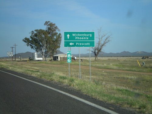
US-60 East at AZ-71

US-60 East at AZ-71

US-60 east at AZ-71 north to Prescott. Continue on US-60 for Wickenburg and Phoenix.
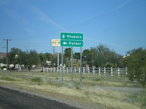
US-60 East Approaching AZ-71

US-60 East Approaching AZ-71

US-60 east approaching AZ-71.

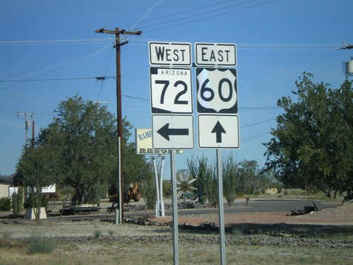
US-60 East at AZ-72

US-60 East at AZ-72

US-60 east at AZ-72 west.

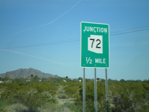
US-60 East Approaching AZ-72

US-60 East Approaching AZ-72

US-60 east approaching AZ-72 west to Parker. Continue on US-60 east towards Phoenix.
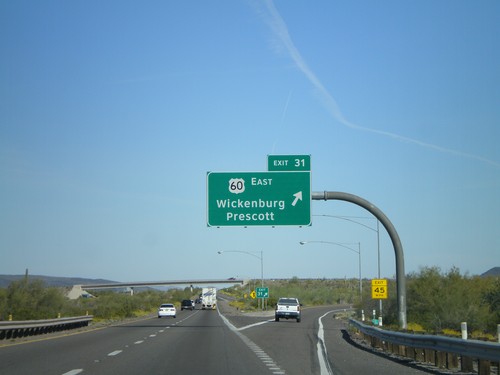
US-60 East Approaching AZ-72

US-60 East Approaching AZ-72

US-60 east approaching AZ-72 west.

I-10 East - Exit 31

I-10 East - Exit 31

I-10 east at Exit 31 - US-60 East/Wickenburg/Prescott. This is the western terminus of US-60.
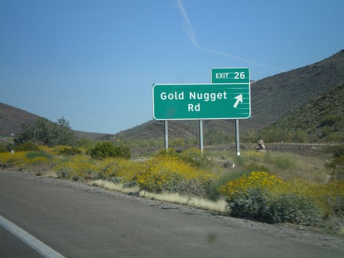
I-10 East - Exit 26

I-10 East - Exit 26

I-10 east at Exit 26 - Gold Nugget Road

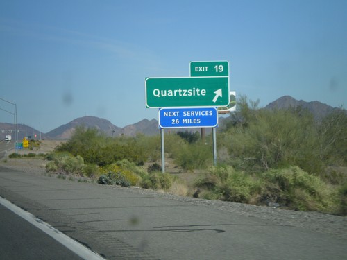
I-10 East - Exit 19

I-10 East - Exit 19

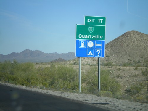
I-10 east at Exit 19 - Quartzsite. This is the eastern end of the Quartzsite business loop.
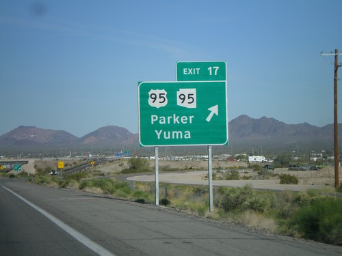
I-10 East - Exit 17

I-10 East - Exit 17

I-10 east at Exit 17 - US-95/AZ-95/Parker/Yuma. Use US-95 south for Yuma

I-10 East - Exit 17

I-10 East - Exit 17

I-10 east at Exit 5 - Tom Wells Road

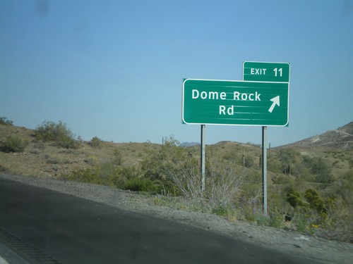
I-10 East - Exit 11

I-10 East - Exit 11

I-10 east at Exit 11 - Dome Rock Road

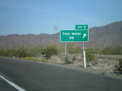
I-10 East -  Exit 5

I-10 East - Exit 5

I-10 east at Exit 5 - Tom Wells Road

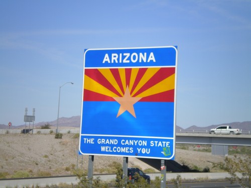
Welcome To Arizona on I-10 East

Welcome To Arizona on I-10 East

Welcome to Arizona on I-10 east.

I-10 East - Exit 1

I-10 East - Exit 1

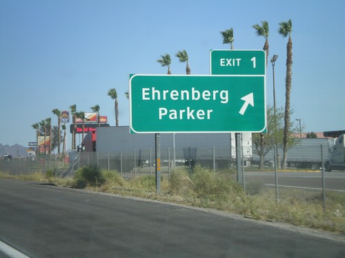
I-10 East at Exit 1 - Ehrenberg/Parker

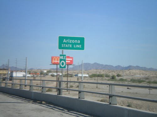
I-10 East - Arizona State Line

I-10 East - Arizona State Line

Arizona State Line on I-10 east on the Colorado River bridge. Mile 0 marker is attached to the sign.
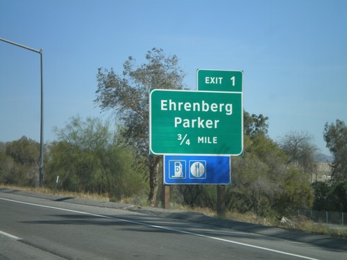
I-10 East - Arizona Exit 1

I-10 East - Arizona Exit 1

I-10 East approaching Arizona Exit 1 - Ehrenberg/Parker. Taken before the Colorado River bridge. The sign appears to be placed by Arizona DOT.
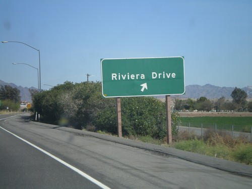
I-10 East - Exit 243

I-10 East - Exit 243

I-10 east at Exit 243 - Riviera Drive. This is the last exit in California on I-10.
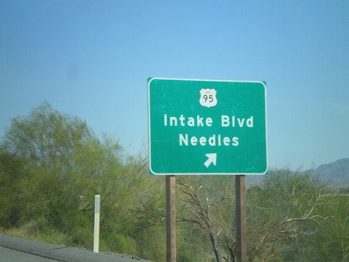
I-10 East - Exit 241

I-10 East - Exit 241

I-10 east at Exit 241 - US-95/Intake Blvd./Needles. US-95 joins I-10 east to Quartzite, Arizona.
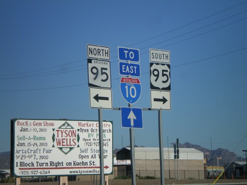
I-10 East - Exit 240

I-10 East - Exit 240

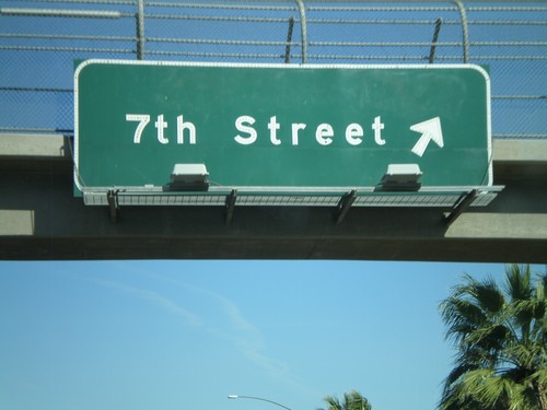
I-10 east at Exit 240 - 7th St.
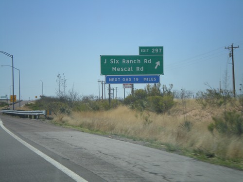
I-10 East - Exit 239

I-10 East - Exit 239

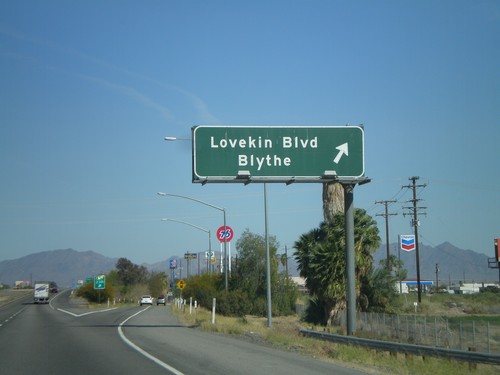
I-10 east at Exit 239 - Lovekin Blvd./Blythe

I-10 East - Exit 236

I-10 East - Exit 236

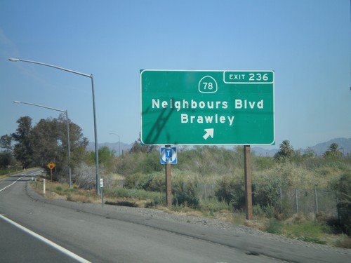
I-10 east at Exit 236 - CA-78/Neighbours Blvd./Brawley.
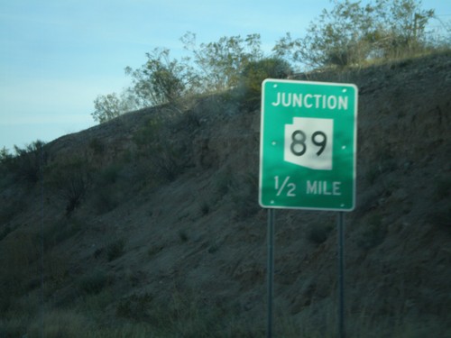
I-10 East - Exit 232

I-10 East - Exit 232

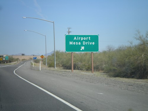
I-10 east at Exit 232 - Airport/Mesa Drive

I-10 East - Exit 222

I-10 East - Exit 222

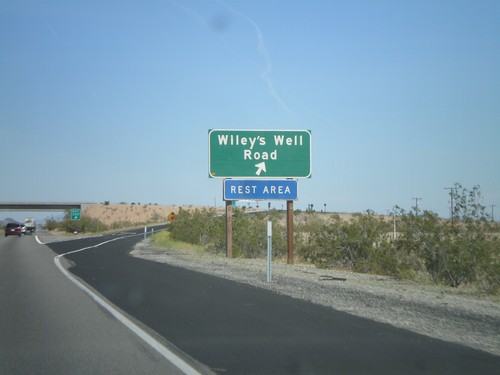
I-10 east at Exit 222 - Wiley’s Well Road

I-10 East - Exit 217

I-10 East - Exit 217

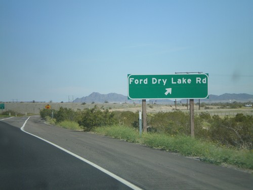
I-10 east at Exit 217 - Ford Dry Lake Road

I-10 East - Exit 201

I-10 East - Exit 201

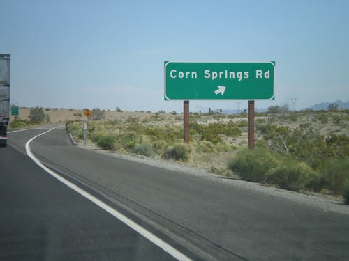
I-10 east at Exit 201 - Corn Springs Road

I-10 East -  Exit 192

I-10 East - Exit 192

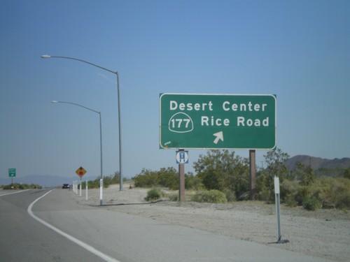
I-10 east at Exit 192 - CA-177/Desert Center/Rice Road

I-10 East - Exit 189

I-10 East - Exit 189

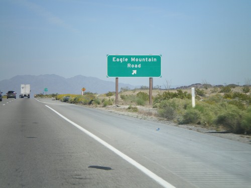
I-10 east at Exit 189 - Eagle Mountain Road

I-10 East - Exit 182

I-10 East - Exit 182

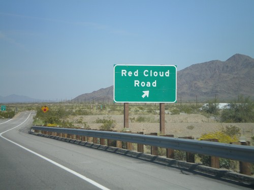
I-10 east at Exit 182 - Red Cloud Road.

I-10 East - Exit 177

I-10 East - Exit 177

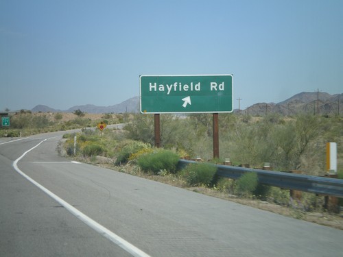
I-10 east at Exit 177 - Hayfield Road.

I-10 East - Exit 173

I-10 East - Exit 173

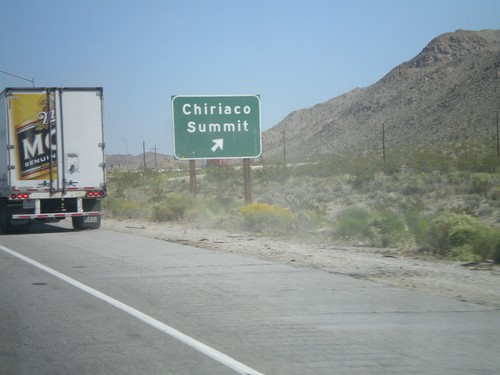
I-10 east at Exit 173 - Chiriaco Summit. T

I-10 East - Exit 168

I-10 East - Exit 168

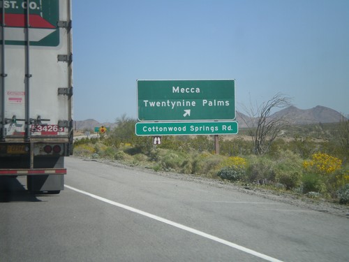
I-10 east at Exit 168 - Mecca/Twentynine Palms. This is the southern access to Joshua Tree National Park.

I-10 East - Exit 162

I-10 East - Exit 162

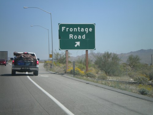
I-10 east at Exit 162 - Frontage Road.

I-10 East - Exit 112

I-10 East - Exit 112

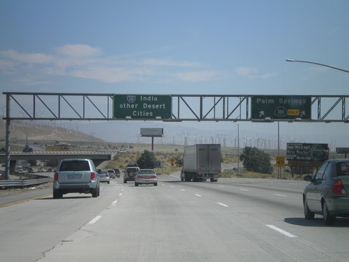
I-10 east at Exit 112 - CA-111/Palm Springs. Control city is for Indio and Other Desert Cities.