Signs From January 2010
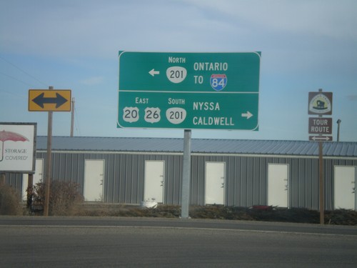
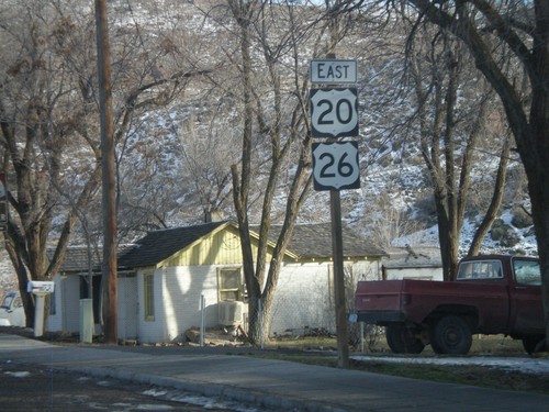
US-20/US-26 East at OR-201
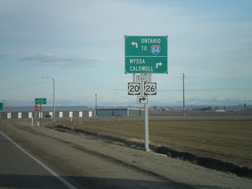
US-20/US-26 east at OR-201. Use OR-201 South/US-20 East/US-26 East to Nyssa and Caldwell (ID). Use OR-201 North for Ontario and I-84.
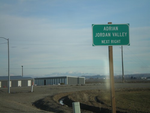
US-20/US-26 East at OR-201
US-20/US-26 east at OR-201. Turn right on OR-201 South/US-20/US-26 East for Adrian and Jordan Valley.
US-20/US-26 East at OR-201
US-20/US-26 east at OR-201. Use OR-201 South/US-20 East/US-26 East to Nyssa and Caldwell (ID). Use OR-201 North for Ontario and I-84.
US-20 East at US-26 West
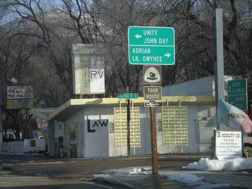
US-20 east at US-26 in downtown Vale. Use US-26 west for Unity and John Day. Use Glenn St. south for Adrian and Lake Owyhee. US-20 and US-26 join eastwards into Idaho.
US-20 East Approacing US-26 West
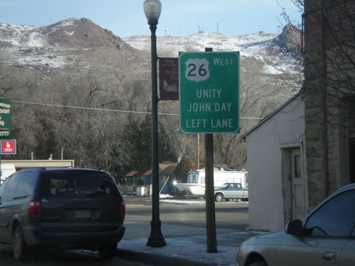
US-20 east approaching US-26 in downtown Vale. Use US-26 west for Unity and John Day. US-20 and US-26 join eastwards into Idaho.
US-20 East - Distance Marker
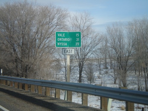
Distance marker on US-20 east to Vale, Ontario, and Nyssa. Missing US-20 shield on sign.
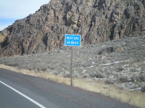
US-20 East - Next Gas 68 Miles
Next Gas 68 Miles on US-20 east. Taken just outside of the settlement of Buchanan. The next gas is in the town of Vale.
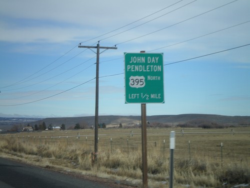
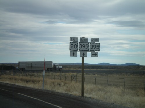
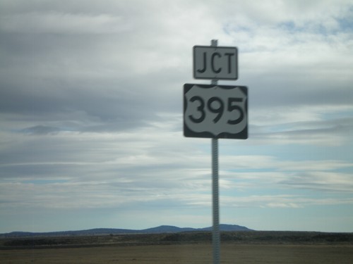
US-20 East/US-395 North Approaching US-395
US-20 East/US-395 North approaching US-395 north to John Day and Pendleton.
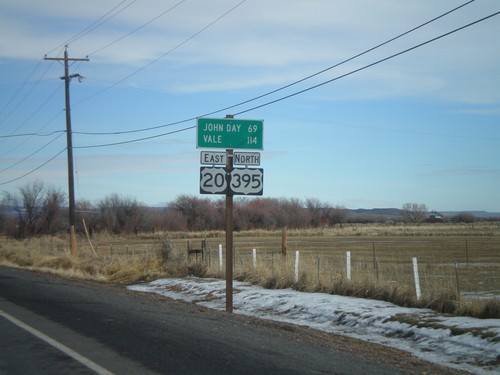
US-20 East/US-395 North - Distance Marker
Distance marker on US-20 East/US-395 north to John Day and Vale.
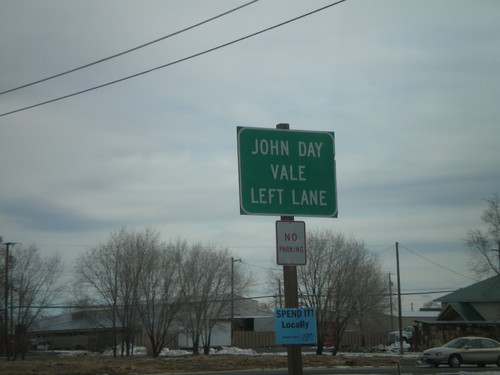
US-20 East/US-395 North Approaching OR-78
US-20 East/US-395 North approaching OR-78. Stay in the left lane for US-20 East/US-395 North for John Day and Vale.
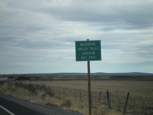
US-20 East Approaching US-395
US-20 east approaching US-395. Use US-395 south for Wagontire, Valley Falls, and Lakeview.
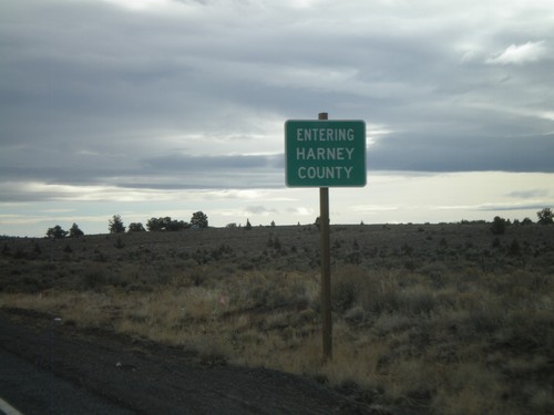
US-20 East - Entering Harney County
Entering Harney County on US-20 east at the Lake-Harney County Line.
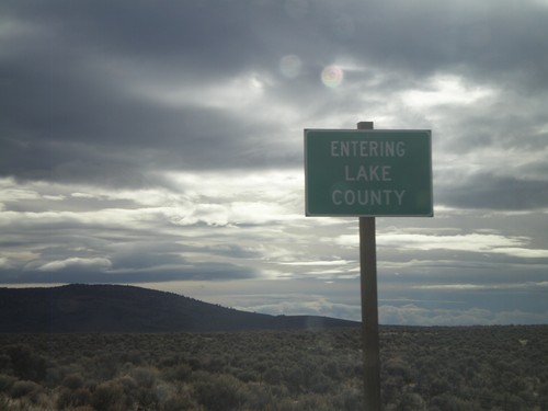
US-20 East - Entering Lake County
Entering Lake County on US-20 east at the Deschutes-Lake County Line.
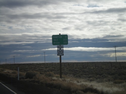
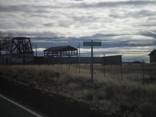
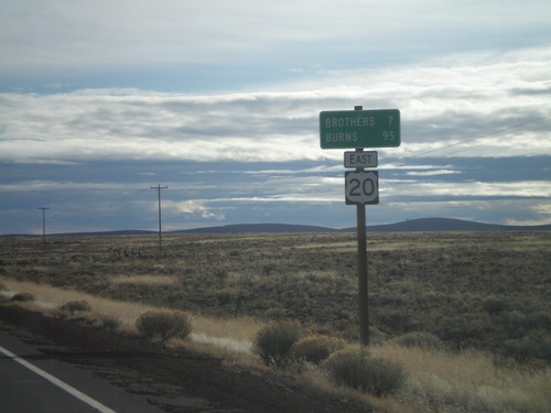
US-20 East - Brothers
Distance marker on US-20 east outside of Brothers. Distance to Hampton, Vale, and Nyssa.
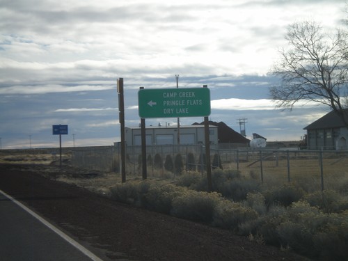
US-20 East at Camp Creek Road
US-20 East at Camp Creek Road to Camp Creek, Pringle Flats, and Dry Lake.
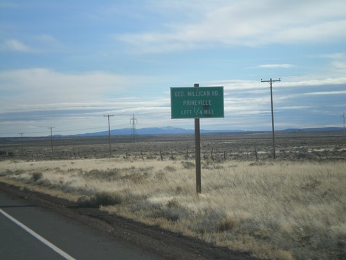
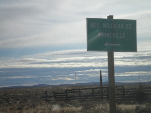
US-20 East Approaching George Millican Road
US-20 east approaching George Millican Road, north to Prineville.
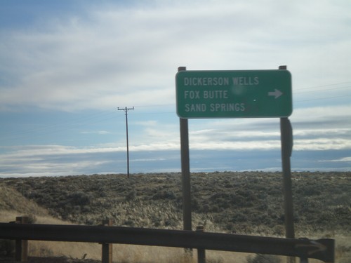
US-20 East at Dickerson Wells Jct.
US-20 east at Newt Morris Road south to Dickerson Wells, Fox Butte, and Sand Springs.
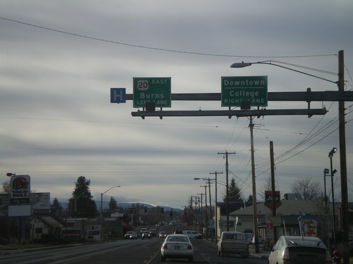
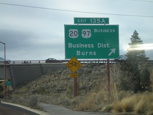
US-20 East/Business US-97 South At US-20
US-20 West/Business US-97 South approaching US-20 East towards Burns (Greenwood Ave.) Use Greenwood Ave. west for Downtown Bend and College.
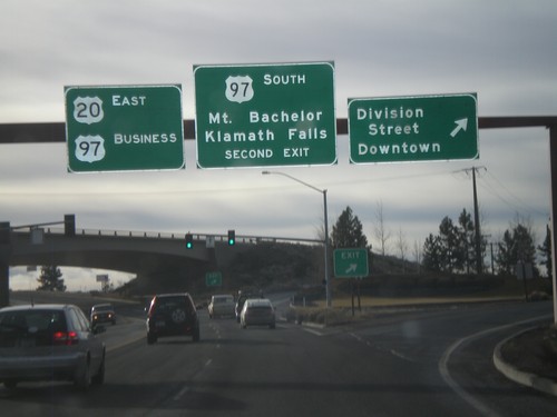
US-20 East/US-97 Business at US-97 South
US-20 West/Business US-97 South at Division St./Downtown exit. Approaching US-97 South/Mt. Bachelor/Klamath Falls exit.
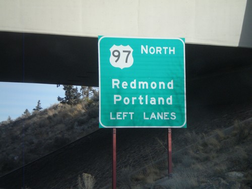
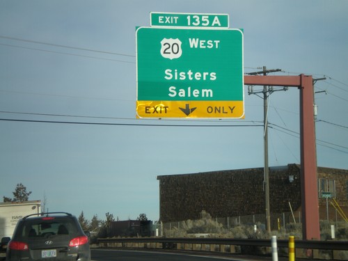
US-97 North Approaching Exit 135A - US-20
US-97 north approaching Exit 135A. Use left lanes for US-97 North/Redmond/Portland.
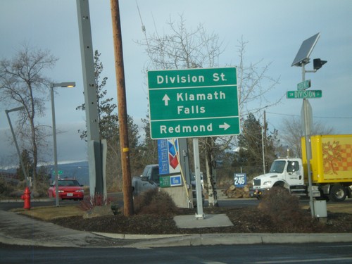
Reed Market Road at US-97 Exit 139
Reed Market Road west at US-97 junction. Use US-97 north for Redmond. Use US-97 south for Klamath Falls.
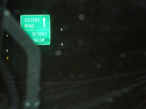
US-20 East/OR-126 East at OR-22 West
US-20 East/OR-126 East at OR-22 west. This is the western base of Santiam Pass.
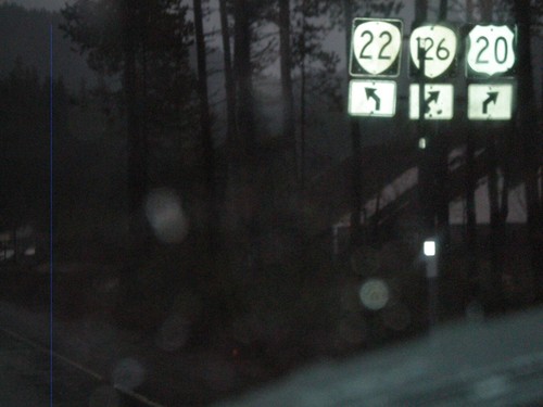
US-20/OR-126 West at OR-22
US-20 East/OR-126 East at OR-22 west. This is the western base of Santiam Pass.
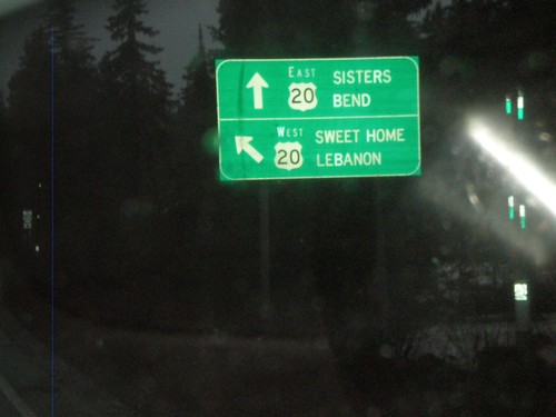
OR-126 East at US-20 Near Santiam Pass
OR-126 at US-20 nearing Santiam Pass. OR-126 joins US-20 east over Santiam Pass to Sisters.
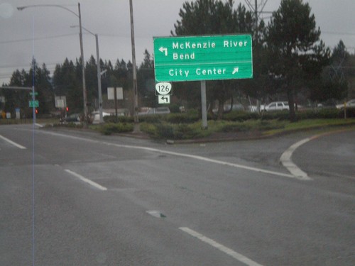
OR-126 East at Business OR-126 West
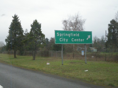
End of OR-126 freeway in Springfield, at Business OR-126 (Main St.). OR-126 continues east towards McKenzie River and Bend, along Main St. east. Use Main St. west (Business OR-126) for the Springfield City Center.
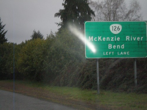
OR-126 East Approaching Business OR-126
Approaching end of OR-126 freeway in Springfield, near Business OR-126 (Main St.) junction. OR-126 continues east towards McKenzie River and Bend, along Main St. east.
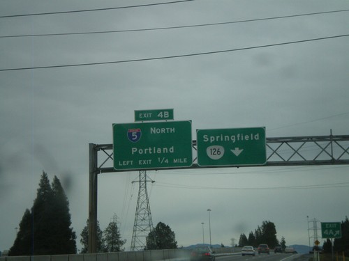
I-105 East at Exit 4B - I-5 North
I-105 East/OR-126 East at Exit 4B - I-5 North/Portland. I-105 ends at Exit 4B, OR-126 continues east to Springfield.
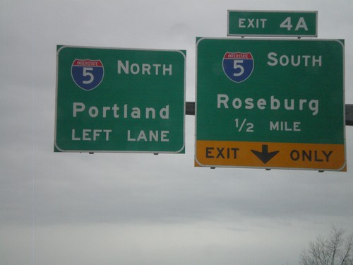
I-105/OR-126 East Approaching I-5
I-105/OR-126 East approaching I-5 at Exit 4A and 4B. Exit 4A - I-5 South/Roseburg. Exit 4B - I-5 North/Portland
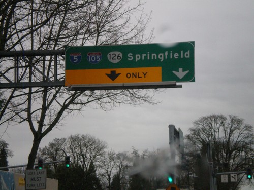
OR-126 East/OR-99 South at I-105
OR-126 East/OR-99 South at I-105. OR-126 East joins I-105 east to I-5 and Springfield. OR-99 continues south through Eugene.
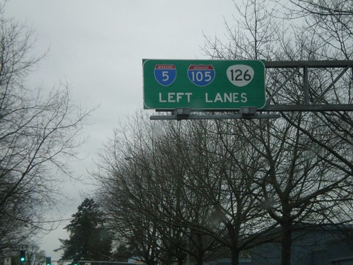
OR-126 East/OR-99 South Approaching I-105
OR-126 East/OR-99 South approaching I-105/OR-126 in downtown Eugene. This is the beginning of I-105.
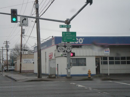
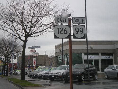
OR-126 East at OR-99
OR-126 East (Garfield St.) at 7th St. OR-126 East joins OR-99 South into downtown Eugene. Continue ahead for OR-99 north to Airport and Junction City.
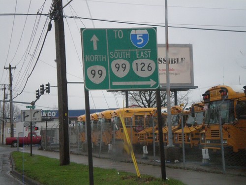
OR-126 East Approaching OR-99
OR-126 East approaching OR-99 in Eugene. OR-99 South/OR-126 East join through downtown Eugene. Use OR-99 South/OR-126 East for I-5.
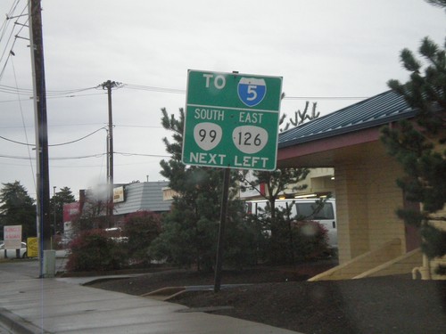
OR-126 East (11th St.) Approaching Garfield St.
OR-126 East (11th St.) Approaching Garfield St. OR-126 turns left on Garfield St. and connects with OR-99 a few blocks to the north.
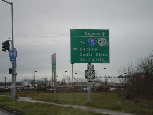
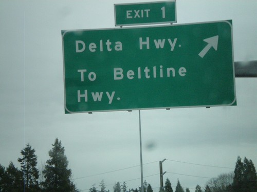
OR-126 East at OR-569 (Beltline Highway)
OR-126 east at OR-569 (Beltline Highway). Use OR-569 for I-5/OR-99, Santa Clara, and Springfield. Continue east on OR-126 for Eugene.
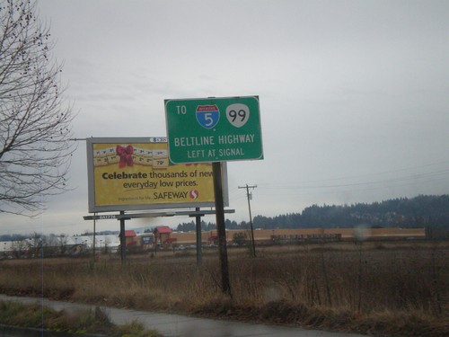
OR-126 East Approaching OR-569 (Beltline Highway)
OR-126 east approaching OR-569 (Beltline Highway). Use OR-569 for I-5/OR-99.
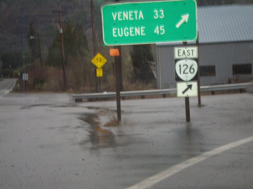
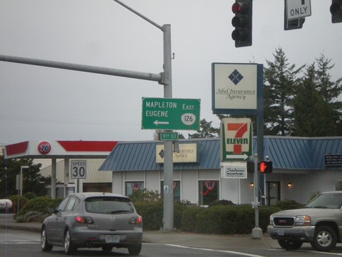
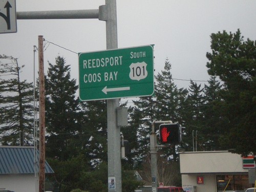
OR-126 East At OR-36
OR-126 east at OR-36 in Mapleton. Continue east on OR-126 for Veneta and Eugene.
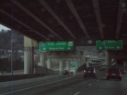
I-5 South at I-405/US-26
I-5 south at I-405/US-26 to City Center and Beaverton. Taken on the western approach to the Marquam Bridge over the Willamette River. I-5 continues south to Salem.
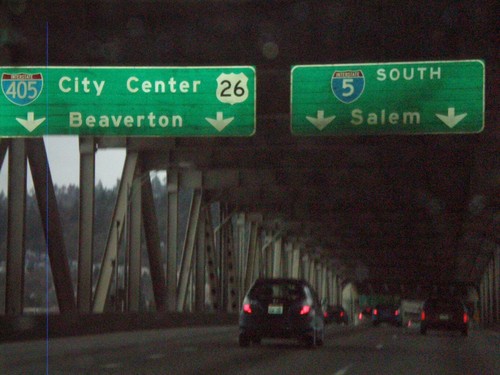
I-5 South Approaching I-405
I-5 south approaching I-405/US-26 to City Center and Beaverton. Taken on the Marquam Bridge over the Willamette River. I-5 continues south to Salem.
