Javascript Is Required To Use This Page

Signs From March 2010
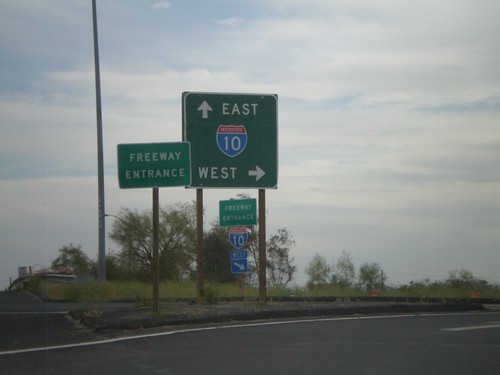
I-10 West - Exit 146

I-10 West - Exit 146

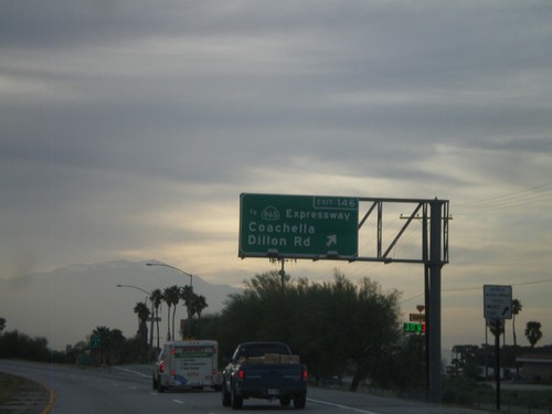
I-10 west at Exit 146 - To CA-86S Expressway/Coachella/Dillon Road. This is the first exit in the Coachella Valley westbound.
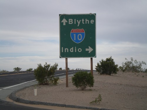
I-10 West Approaching Exit 162

I-10 West Approaching Exit 162

I-10 west approaching Exit 162 - Frontage Road.

Wileys Well Road at I-10

Wileys Well Road at I-10

Wileys Well Road at I-10 (Exit 222). Use I-10 west for Indio. Use I-10 east for Blythe.
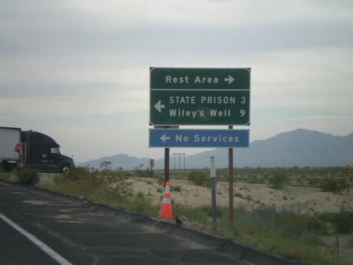
I-10 West - Exit 222 Offramp

I-10 West - Exit 222 Offramp

I-10 west at Exit 222 offramp - Wiley’s Well. Turn south for Wiley’s Well Road, north for Rest Area.
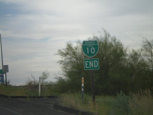
Neighbors Blvd. South at I-10

Neighbors Blvd. South at I-10

Neighbors Blvd. south at I-10. BL-10 ends here and CA-78 begins.

End I-10 Business at I-10 and CA-78

End I-10 Business at I-10 and CA-78

Western end of I-10 Blythe business loop at I-10 on Neighbors Blvd. Neighbors Blvd. continues south as CA-78.
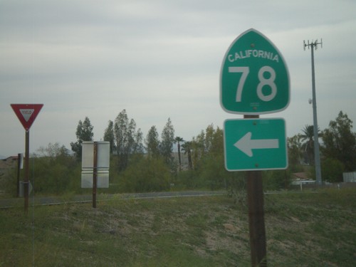
I-10 West Exit 236 Offramp at CA-78

I-10 West Exit 236 Offramp at CA-78

I-10 west Exit 236 offramp at CA-78. CA-78 heads southwest to the Imperial Valley and eventually Oceanside. This is also the western end of the Blythe I-10 Business Loop.
I-10 West Exit 236 Offramp at CA-78

I-10 West Exit 236 Offramp at CA-78

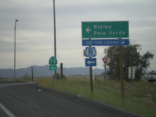
I-10 west at Exit 236 at CA-78 to Palo Verde and Ripley.

I-10 West Approaching Exit 241

I-10 West Approaching Exit 241

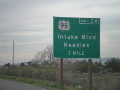
I-10 west approaching Exit 241 - US-95/Intake Blvd/Needles. US-95 north leaves I-10 here. US-95 south joins I-10 east to Quartzsite, AZ.
I-10 West - Welcome To California

I-10 West - Welcome To California

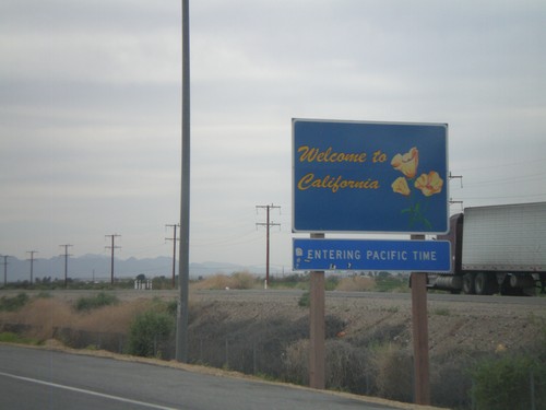
Welcome to California on I-10 West/US-95 north, just west of the California State Agricultural Inspection Station. Entering Pacific Time Zone.
I-10 West - Exit 243

I-10 West - Exit 243

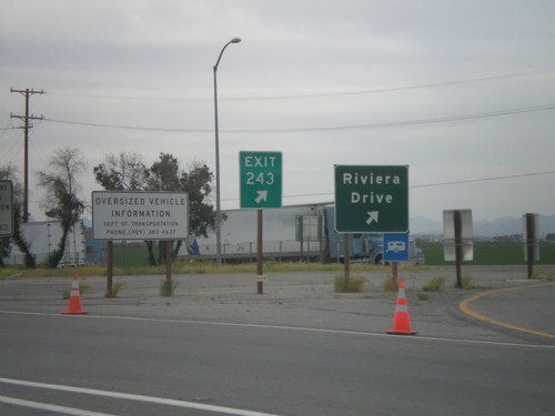
I-10 west at Exit 243 - Riviera Drive. Taken upon leaving the California State Agricultural Inspection Station.
I-10 West - California State Line

I-10 West - California State Line

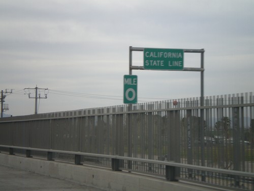
California State Line on I-10 west crossing the Colorado River, at the Arizona-California Border.
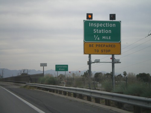
I-10 West - Approaching California Inspection Station

I-10 West - Approaching California Inspection Station

Approaching California Inspection Station and Colorado River on I-10 West/US-95 north.
I-10 Exit 1 Onramp

I-10 Exit 1 Onramp

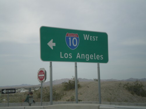
I-10 west onramp to Los Angeles at Exit 1.

I-10 West Approaching California Agricultural Inspection Station

I-10 West Approaching California Agricultural Inspection Station

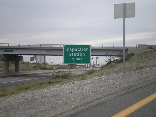
Approaching the California State Agricultural Inspection Station on I-10 west.
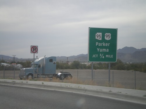
I-10 West/US-95 North

I-10 West/US-95 North

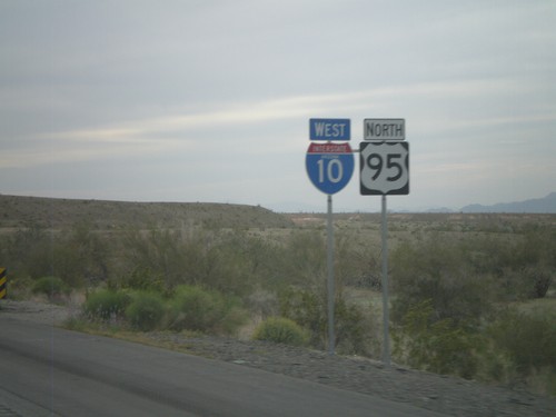
I-10 west/US-95 north. Taken west of Quartzsite.

BL-10 West Approaching US-95/AZ-95

BL-10 West Approaching US-95/AZ-95

BL-10 west approaching US-95 south to Yuma, and AZ-95 north to Parker.
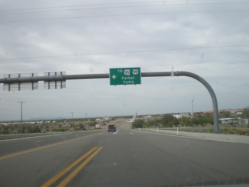
BL-10 West at Main St. - Quartzsite

BL-10 West at Main St. - Quartzsite

BL-10 west at Main St. in Quartzsite. Turn left on Main St. for US-95, AZ-95 to Yuma and Parker. Turn left to continue on BL-10.
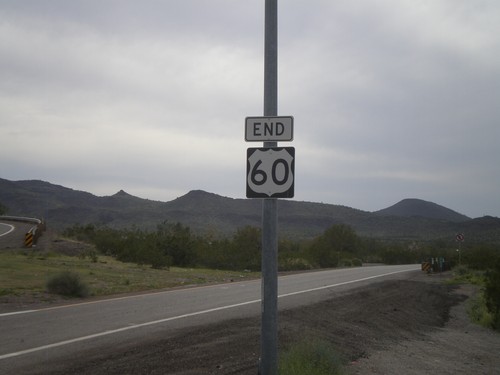
End US-60 West at I-10

End US-60 West at I-10

End US-60 west at I-10 Exit 31 onramp.

End US-60 West at I-10

End US-60 West at I-10

Western end of US-60 at I-10. The eastern end of US-60 is in Virginia Beach, Virginia.
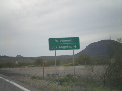
End US-60 Approaching I-10

End US-60 Approaching I-10

End US-60 approaching I-10. Use I-10 west for Los Angeles, and I-10 east for Phoenix.
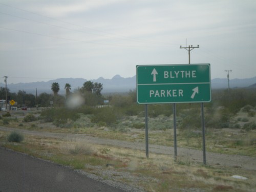
US-60 West at AZ-72 West

US-60 West at AZ-72 West

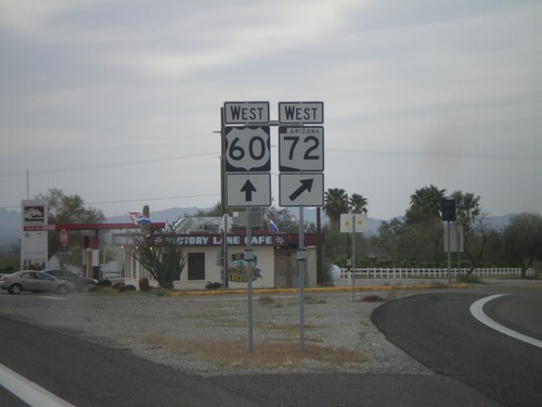
US-60 west at AZ-72 west. AZ-72 runs northwest to Parker.

US-60 West at AZ-72

US-60 West at AZ-72

US-60 west at AZ-72. Use AZ-72 east for Parker. Continue west on US-60 for Blythe (CA).
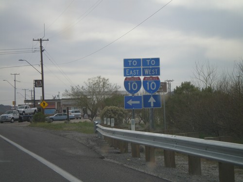
US-60 West Approaching AZ-72

US-60 West Approaching AZ-72

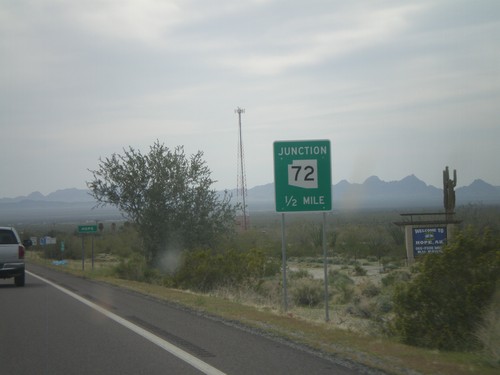
US-60 west approaching AZ-72. Approaching the community of Hope, AZ.

US-60 West Approaching Navajo St.

US-60 West Approaching Navajo St.

US-60 west approaching Navajo St. (to Salome Road). For I-10 east traffic turn left on Navajo St. For I-10 west traffic continue west on US-60.
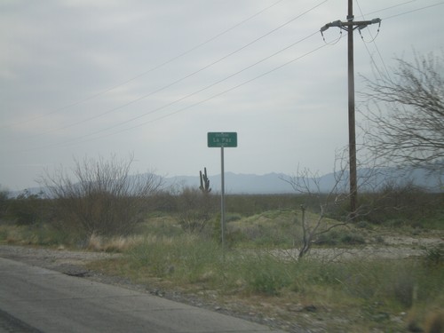
US-60 West - Entering La Paz County

US-60 West - Entering La Paz County

Entering La Paz County on US-60 west at the La Paz - Maricopa County Line.
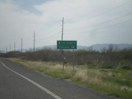
US-60 West at AZ-71

US-60 West at AZ-71

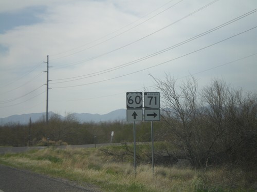
US-60 west at AZ-71

US-60 West Approaching AZ-71

US-60 West Approaching AZ-71

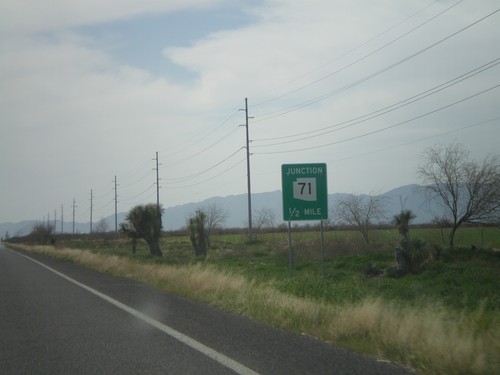
US-60 west approaching AZ-71. Use AZ-71 north for Prescott. Continue west on US-60 for Los Angeles.
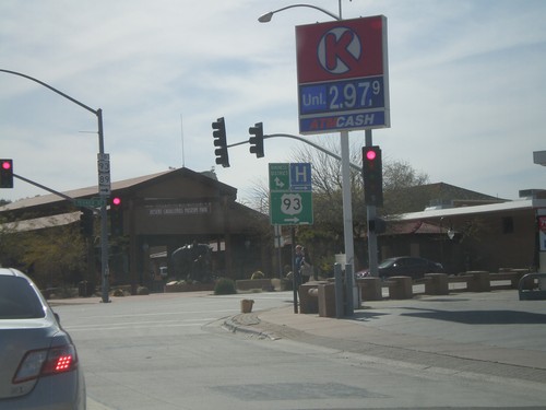
US-60 West Approaching AZ-71

US-60 West Approaching AZ-71

US-60 west approaching AZ-71.

US-60 West at Old US-93

US-60 West at Old US-93

US-60 west at former terminus of US-93, now signed as To US-93/To AZ-89. The main US-93/US-60 intersection was moved a half mile to the east and turned into a roundabout in 2009.
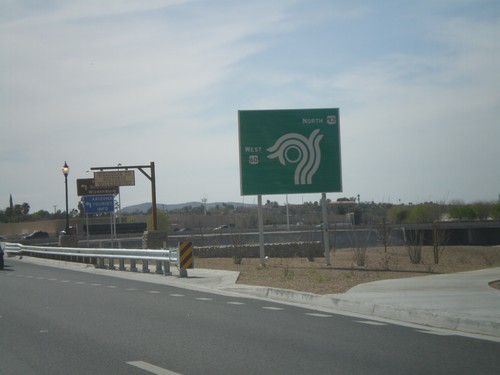
US-60 West at US-93

US-60 West at US-93

US-60 west at US-93 roundabout. This is the southern terminus of US-93.

US-60 West Approaching US-93

US-60 West Approaching US-93

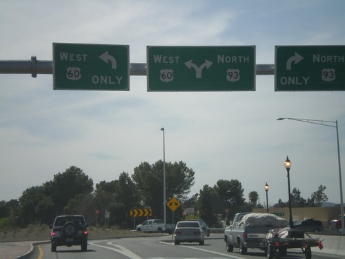
US-60 west approaching US-93 at roundabout. This is a new alignment for US-60 and US-93, which moves a major intersection from the downtown area of Wickenburg
US-60 West Approaching US-93 To AZ-89

US-60 West Approaching US-93 To AZ-89

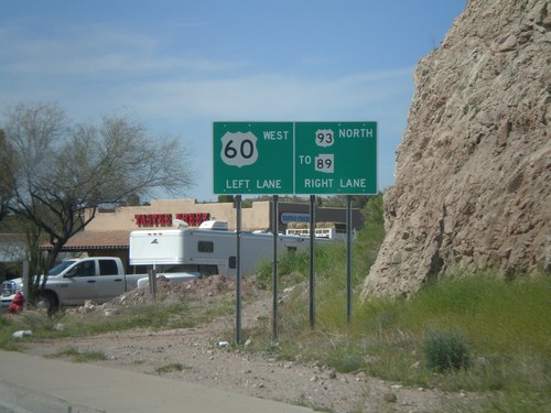
US-60 west approaching US-93 North/To AZ-89

US-60 West Approaching US-93

US-60 West Approaching US-93

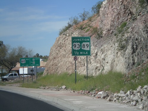
US-60 west approaching US-93, (To) AZ-89.

US-60 West at AZ-74/To I-17

US-60 West at AZ-74/To I-17

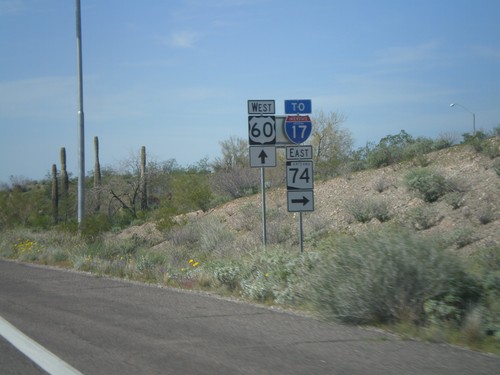
US-60 west at AZ-74 East/To I-17. Use AZ-74 east to connect to I-17 at the north edge of the Phoenix Metro. area.
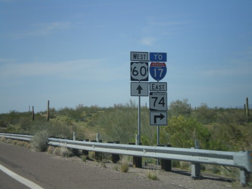
US-60 West Approaching AZ-74

US-60 West Approaching AZ-74

US-60 west approaching AZ-74, To I-17. AZ-74 cuts across the north end of the Phoenix Metropolitan Area between US-60 on the west to I-17 on the east.
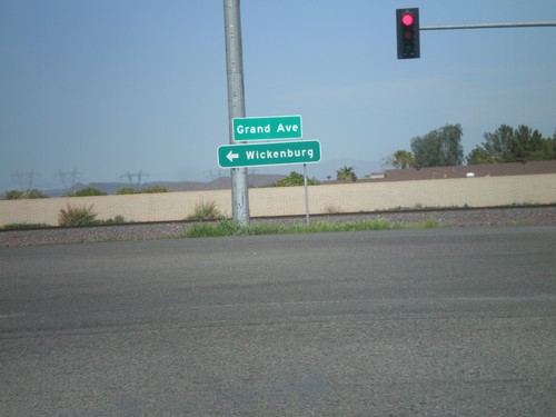
AZ-303 Loop North at US-60

AZ-303 Loop North at US-60

AZ-303 Loop North offramp at US-60/Grand Ave. Use US-60 west for Wickenburg.
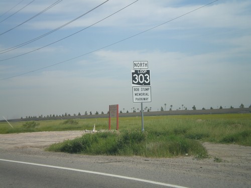
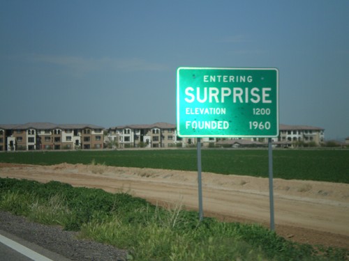
AZ-303 Loop North - Entering Surprise

AZ-303 Loop North - Entering Surprise

Entering Surprise on AZ-303 Loop North.

Olive Ave. Approaching AZ-303 Loop

Olive Ave. Approaching AZ-303 Loop

Olive Ave. east approaching AZ-303 Loop.

AZ-303 Loop North

AZ-303 Loop North

AZ-303 Loop North - Bob Stump Memorial Parkway. AZ-303 Loop shield is signed with the old white on black style.
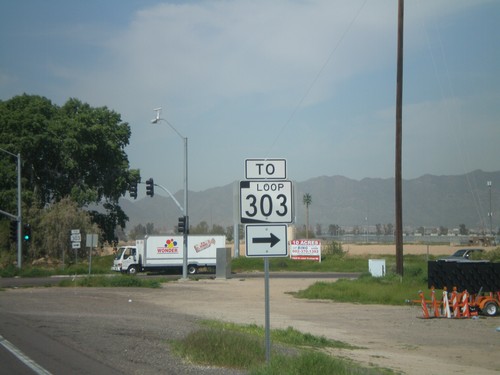
I-10 Exit 124 Offramp at AZ-303 Loop

I-10 Exit 124 Offramp at AZ-303 Loop

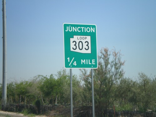
I-10 Exit 123 offramp at AZ-303 Loop. AZ-303 Loop is signed as To AZ-303 Loop until it leaves Cotton Lane.
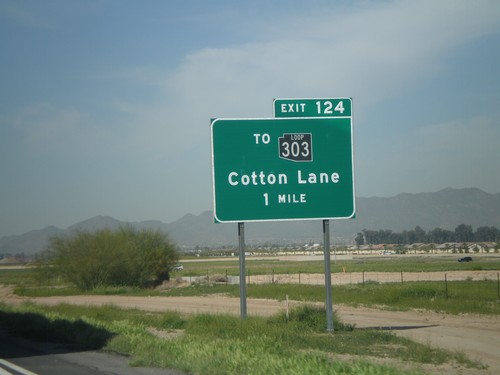
I-10 West Approaching Exit 124

I-10 West Approaching Exit 124

I-10 west approaching Exit 124 - To AZ-303 Loop/Cotton Lane. The AZ-303 Loop shield is black here. All of the Arizona Loop shields had different colors, but they have since been standardized to just black and white.
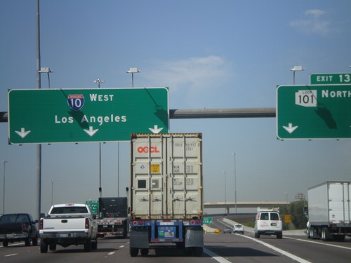
I-10 West - Exit 131

I-10 West - Exit 131

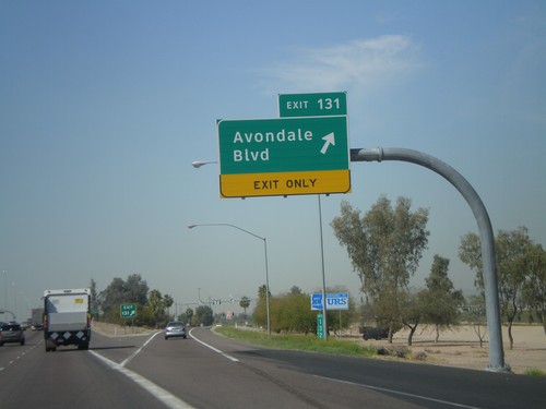
I-10 west at Exit 131 - Avondale Blvd

I-10 West at Exit 133A

I-10 West at Exit 133A

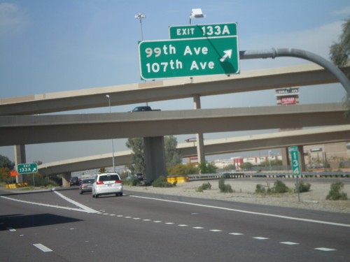
I-10 west at Exit 133A - 99th Ave/107th Ave

I-10 West at Exit 133B

I-10 West at Exit 133B

I-10 west at Exit 133B - AZ-101 Loop North. This is the western end of the AZ-101 Loop. I-10 continues west to Los Angeles.
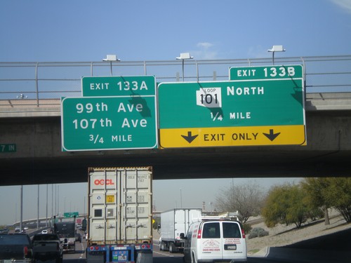
I-10 West - Exits 133B and 133A

I-10 West - Exits 133B and 133A

I-10 west approaching Exit 133B - AZ-101 Loop North. Also approaching Exit 133A - 99th Ave./107th Ave.
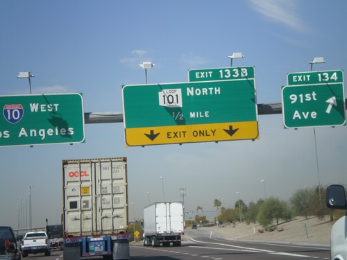
I-10 West - Exits 134 and Exit 133B

I-10 West - Exits 134 and Exit 133B

I-10 west at Exit 134 - 91st Ave. Approaching exit 133B - AZ-101 Loop North. I-10 continues west to Los Angeles.
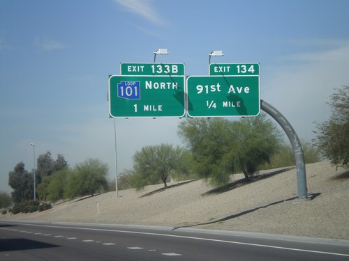
I-10 West Approaching Exits 134 and 133B

I-10 West Approaching Exits 134 and 133B

I-10 west approaching Exit 134 - 91st Ave. Also approaching Exit 133B - AZ-101 Loop North. This AZ-101 Loop sign is in blue. The three loop highways in the Phoenix area all were signed with different colors. All new signs are posted in black and white.
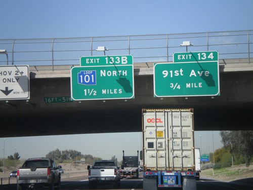
I-10 West Approaching Exits 134 and 133B

I-10 West Approaching Exits 134 and 133B

I-10 west approaching Exit 134 - 91st Ave, and Exit 133B - AZ-101 Loop North. AZ-101 Loop shield is blue here.
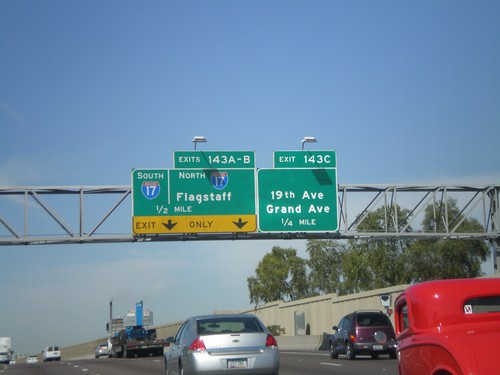
I-10 West - Exit 135

I-10 West - Exit 135

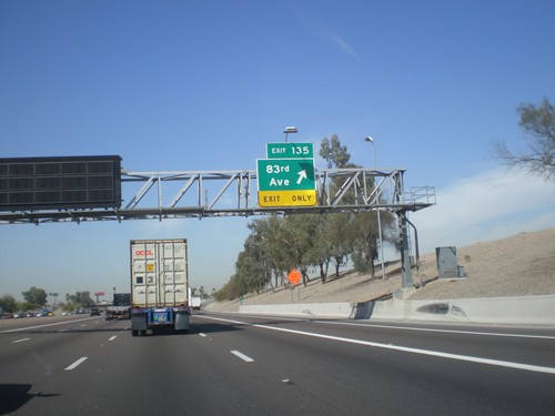
I-10 west at Exit 135 - 83rd Ave.

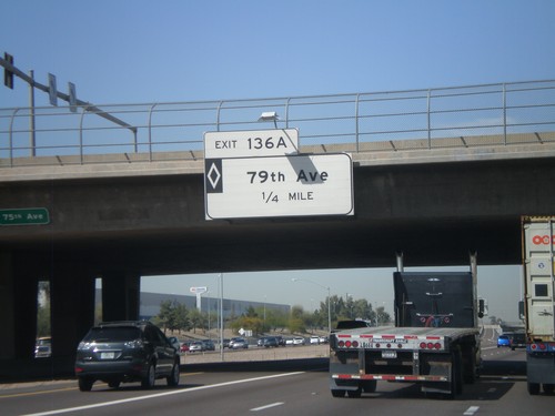
I-10 West - Exit 136A

I-10 West - Exit 136A

I-10 west approaching Exit 136A - 79th Ave. This is a HOV interchange.

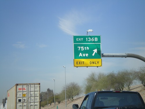
I-10 West - Exit 136B

I-10 West - Exit 136B

I-10 West at Exit 136B - 75th Ave.

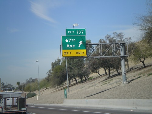
I-10 West - Exit 137

I-10 West - Exit 137

I-10 west at Exit 137 - 67th Ave.

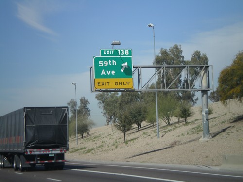
I-10 West - Exit 138

I-10 West - Exit 138

I-10 west at Exit 138 - 59th Ave.

I-10 West - Exit 139

I-10 West - Exit 139

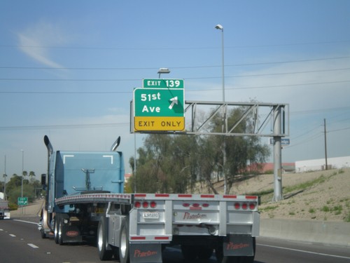
I-10 west at Exit 139 - 51st Ave.

I-10 West - Exit 140

I-10 West - Exit 140

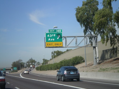
I-10 west at Exit 140 - 43rd Ave

I-10 West - Exit 141

I-10 West - Exit 141

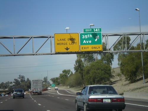
I-10 west at Exit 141 - 34th Ave

I-10 West - Exit 143

I-10 West - Exit 143

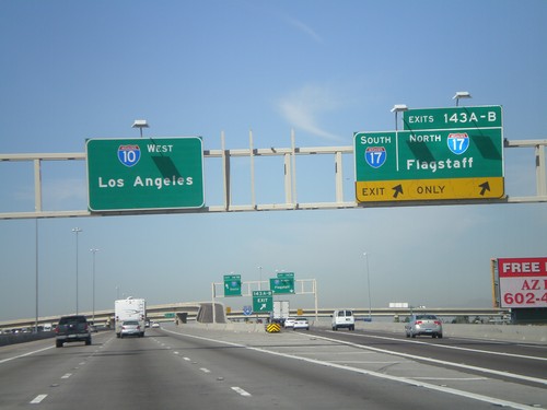
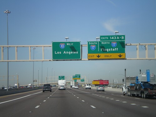
I-10 west at Exit 143A - I-17 North/Flagstaff and Exit 143B - I-17 South.

I-10 West - Exits 143 AB

I-10 West - Exits 143 AB

I-10 west approaching Exit 143 A-B - I-17 North/Flagstaff/I-17 South.

I-10 West - Exit 143C

I-10 West - Exit 143C

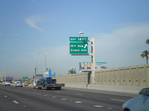
I-10 west at Exit 143C - 19th Ave./Grand Ave.

I-10 West Approaching Exits 143 A-C

I-10 West Approaching Exits 143 A-C

I-10 west approaching Exit 143C - 19th Ave./Grand Ave. Also approaching Exit 143AB - I-17 North/Flagstaff/I-17 South
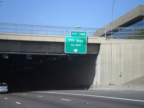
I-10 West Approaching Exit 144

I-10 West Approaching Exit 144

I-10 west approaching Exit 144 - 7th Ave. Entering the Papago Freeway Tunnel.
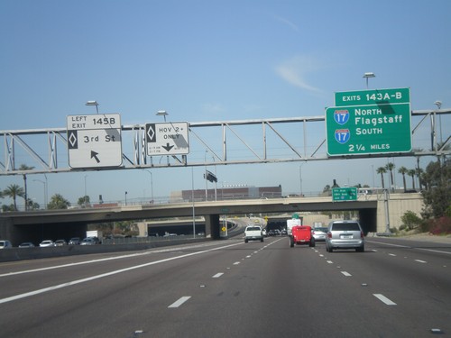
I-10 West - Exit 145B and Exit 143 AB

I-10 West - Exit 145B and Exit 143 AB

I-10 west at Exit 145B - 3rd St. (HOV). Approaching Exits 143AB - I-17 North/Flagstaff and I-17 South.
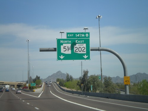
I-10 West - Exit 145A

I-10 West - Exit 145A

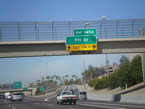
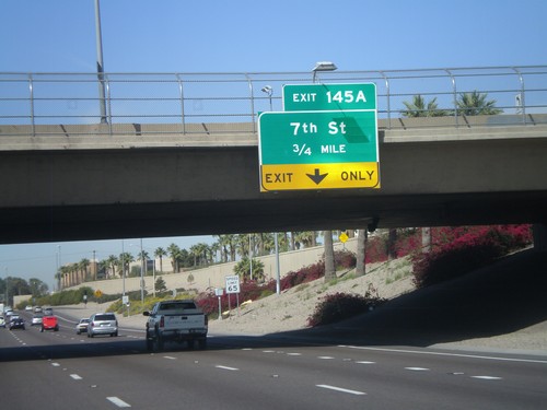
I-10 west at Exit 145A - 7th St.

I-10 West - Exit 145B (HOV)

I-10 West - Exit 145B (HOV)

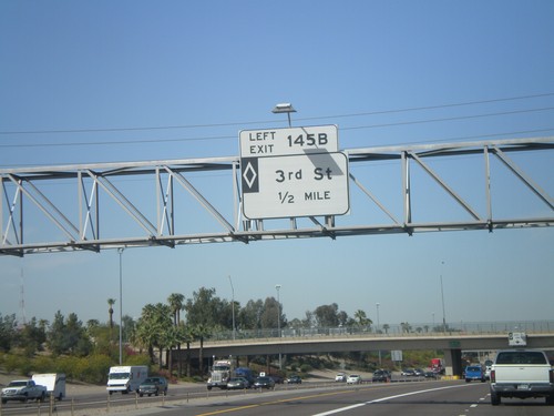
I-10 west approaching Exit 145B - 3rd St. (HOV).

I-10 West - Exit 145A

I-10 West - Exit 145A

I-10 west approaching Exit 145A - 7th St.

I-10 West - Exits 147A and B

I-10 West - Exits 147A and B

I-10 west at Exit 147B - AZ-51 North. Approaching Exit 147A - AZ-202 Loop East.
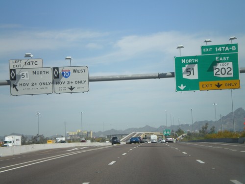
I-10 West - Exits 147 A, B, and C

I-10 West - Exits 147 A, B, and C

I-10 west at Exit 147C - AZ-51 North (HOV). Approaching Exit 147B - AZ-51 North and Exit 147A - AZ-202 Loop East.
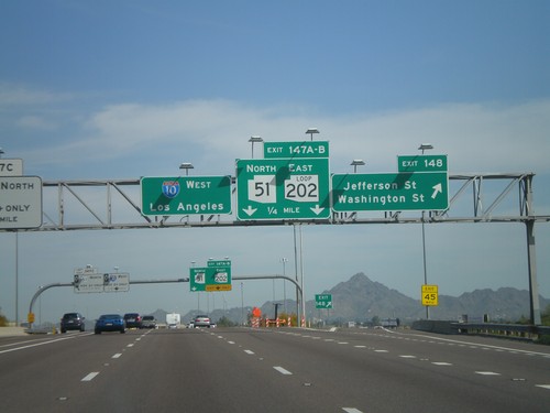
I-10 West - Exits 148 and 147AB

I-10 West - Exits 148 and 147AB

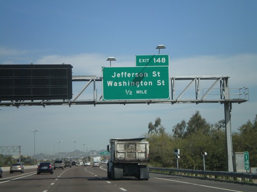
I-10 west at Exit 148 - Jefferson St./Washington St. Approaching Exits 148A-B - AZ-51 North/AZ-202 Loop East.
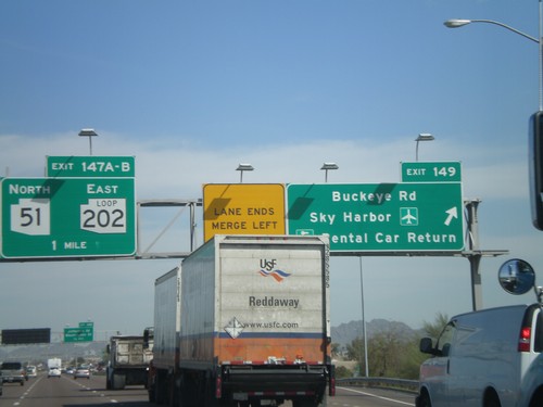
I-10 West Approaching Exit 148

I-10 West Approaching Exit 148

I-10 west approaching Exit 148 - Jefferson St./Washington St.

I-10 West - Exits 149 and Exit 147AB

I-10 West - Exits 149 and Exit 147AB

I-10 west at Exit 149 - Buckeye Road/Sky Harbor Airport/Rental Car Return. Approaching Exit 147B - AZ-51 North and Exit 147A - AZ-202 Loop East.
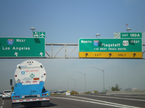
I-10 West - Exit 150

I-10 West - Exit 150

I-10 west at Exit 150A - I-17 North/Flagstaff/US-60 West/I-10 West Truck Route. US-60 west leaves I-10 west here.
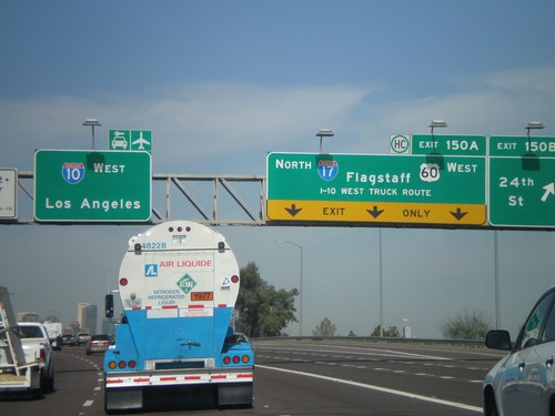
I-10 West - Exits 150B and 150A

I-10 West - Exits 150B and 150A

I-10 west at Exit 150B - 24th St. Approaching Exit 150A - I-17 North/US-60 West/Flagstaff/I-10 West Truck Route. US-60 leaves I-10 west at I-17. Continue west on I-10 for Los Angeles and the Sky Harbor Airport.
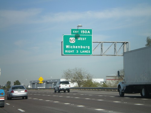
I-10 West Approaching Exit 150A

I-10 West Approaching Exit 150A

I-10 west approaching Exit 150A. Wickenburg bound traffic use US-60 west at Exit 150A.
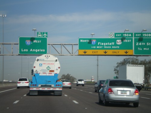
I-10 West - Exits 150B and 150A

I-10 West - Exits 150B and 150A

I-10 west approaching Exit 150B - 24th St. Approaching Exit 150A - I-17 North/US-60 West/Flagstaff/I-10 West Truck Route. I-10 continues west to Los Angeles. US-60 exits I-10 here and joins I-17 through downtown Phoenix.
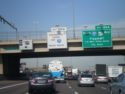
I-10 West Approaching Exit 150A

I-10 West Approaching Exit 150A

I-10 west approaching Exit 150A - I-17 North/US-60 West/Flagstaff/To I-10 West Truck Route. Hazardous cargo must use I-17 north through downtown Phoenix.
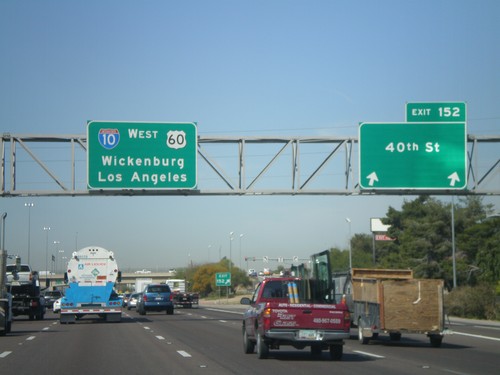
I-10 West - Exit 151

I-10 West - Exit 151

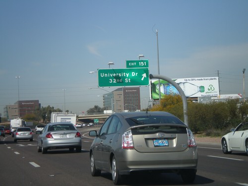
I-10 west at Exit 151 - University Drive/32nd St.

I-10 West - Exit 152

I-10 West - Exit 152

I-10/US-60 west at Exit 152 - 40th St. I-10 and US-60 continue west to Wickenburg (via US-60) and Los Angeles.
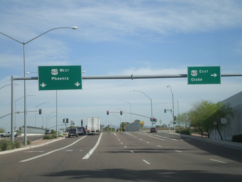
US-60 West - Exit 178

US-60 West - Exit 178

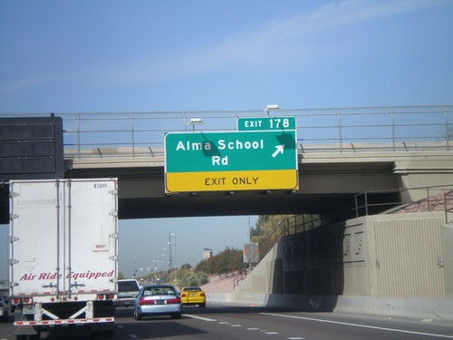
US-60 west at Exit 178 - Alma School Road.

US-60 West - Exit 179

US-60 West - Exit 179

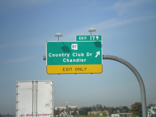
US-60 west at Exit 179 - AZ-87/Country Club Drive/Chandler

Mesa Drive North at US-60

Mesa Drive North at US-60

Mesa Drive north at US-60. Use US-60 west for Phoenix. Use US-60 east for Globe.
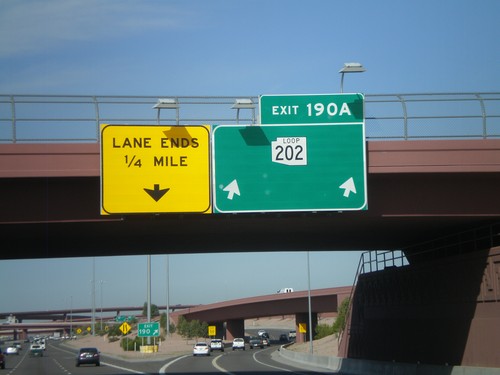
US-60 West - Exit 180

US-60 West - Exit 180

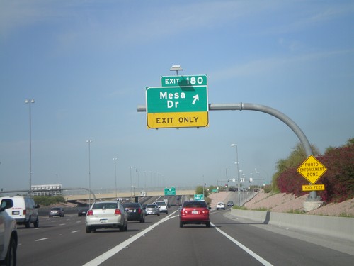
US-60 west at Exit 180 - Mesa Drive

US-60 West - Exit 181

US-60 West - Exit 181

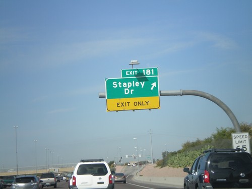
US-60 west at Exit 181 - Stapley Drive

US-60 West - Exit 182

US-60 West - Exit 182

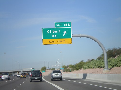
US-60 west at Exit 182 - Gilbert Road

US-60 West - Exit 184

US-60 West - Exit 184

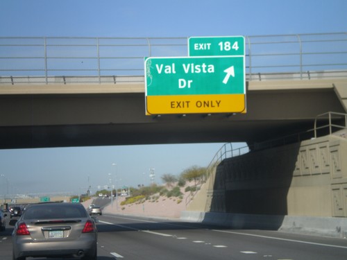
US-60 west at Exit 184 - Val Vista Drive.

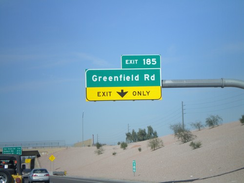
US-60 West - Exit 185

US-60 West - Exit 185

US-60 west at Exit 185 - Greenfield Road

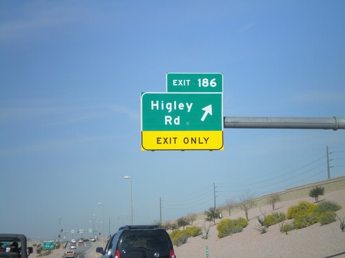
US-60 West - Exit 186

US-60 West - Exit 186

US-60 west at Exit 186 - Higley Road.

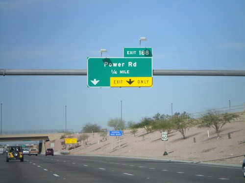
US-60 West Approaching Exit 188

US-60 West Approaching Exit 188

US-60 west approaching Exit 188 - Power Road.

US-60 West - Exit 190A

US-60 West - Exit 190A

US-60 west at Exit 190A - AZ-202 Loop. This is the eastern extent of the AZ-202 Loop.
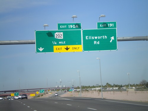
US-60 West - Exits 191 and 190A

US-60 West - Exits 191 and 190A

US-60 west at Exit 191 - Ellsworth Road. Approaching Exit 190A - AZ-202 Loop.
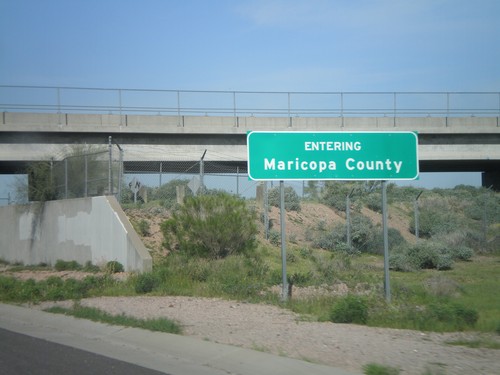
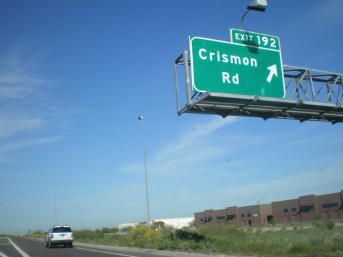
US-60 West - Exit 192

US-60 West - Exit 192

US-60 west at Exit 192 - Crismon Road.

US-60 West - Exit 193

US-60 West - Exit 193

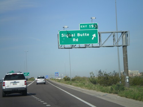
US-60 west at Exit 193 - Signal Butte Road.

US-60 West - Entering Maricopa County

US-60 West - Entering Maricopa County

Entering Maricopa County on US-60 west at the Maricopa-Pinal County Line.
US-60 West - Exit 195

US-60 West - Exit 195

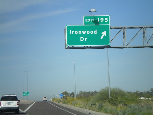
US-60 west at Exit 195 - Ironwood Road.

US-60 West - Exit 196

US-60 West - Exit 196

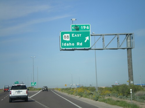
US-60 west at Exit 196 - AZ-88 East/Idaho Road

US-60 West - Exit 197

US-60 West - Exit 197

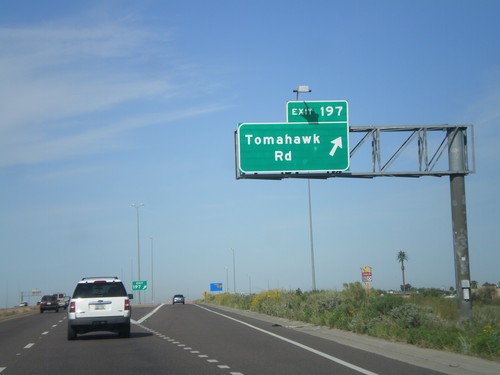
US-60 west at Exit 197 - Tomahawk Road

US-60 West - Exit 198

US-60 West - Exit 198

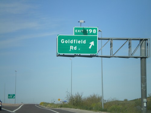
US-60 west at Exit 198 - Goldfield Road.

US-60 West - Exit 199

US-60 West - Exit 199

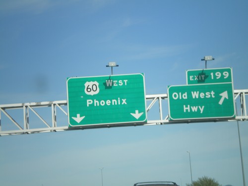
US-60 west at Exit 199 - Old West Highway

US-60 West Approaching Exit 199

US-60 West Approaching Exit 199

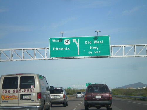
US-60 west approaching Exit 199 - Old West Highway

US-60 West - Exit 212

US-60 West - Exit 212

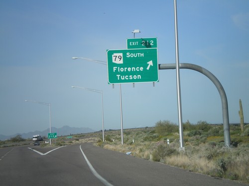
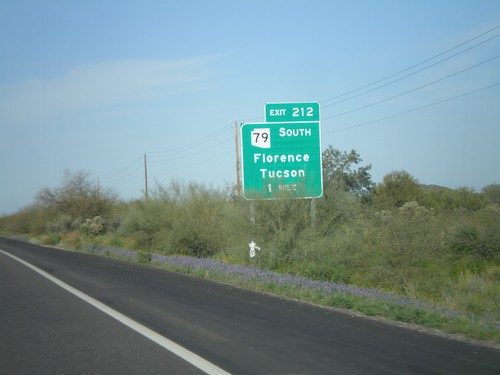
US-60 west at Exit 212 - AZ-79 South/Florence/Tucson.

US-60 West Approaching Exit 212

US-60 West Approaching Exit 212

US-60 west approaching Exit 212 - AZ-79 South/Florence/Tucson

Entering Superior

Entering Superior

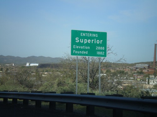
US-60 west - Entering Superior. Elevation 2,888. Founded in 1882.

US-60 West at AZ-177 South

US-60 West at AZ-177 South

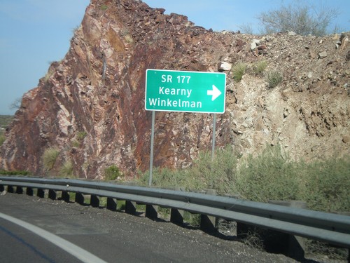
US-60 west at AZ-177 south to Winkelman and Kearny. AZ-177 is not displayed as a typical highway shield here, instead it is written out in text.
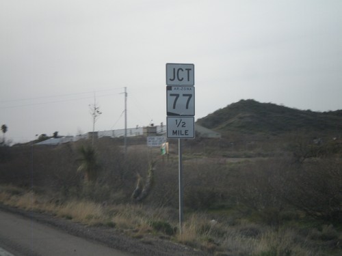
End US-70 West at US-60 and AZ-77

End US-70 West at US-60 and AZ-77

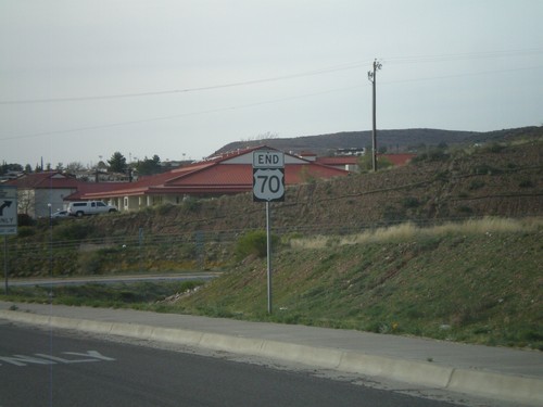
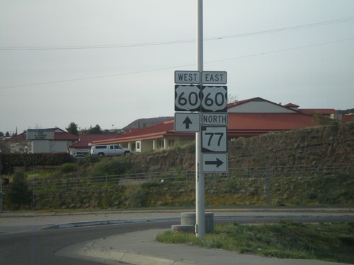
End US-70 west at US-60 and AZ-77. AZ-77 turns north here onto US-60 east.
End US-70

End US-70

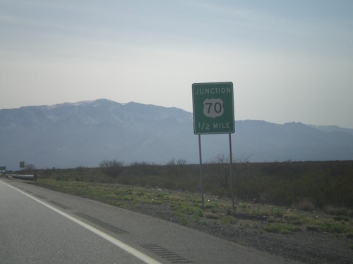
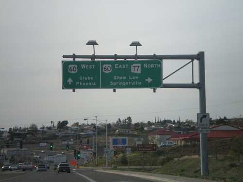
End US-70 approaching US-60/AZ-77 Jct.

US-70 West/AZ-77 North at US-60/AZ-77

US-70 West/AZ-77 North at US-60/AZ-77

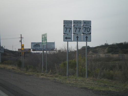
US-70 west at US-60/AZ-77 junction. Use US-60 East/AZ-77 North for Show Low and Springerville. Use US-60 west for Globe and Phoenix. This is the western end of US-70.
US-70 West Approaching US-60

US-70 West Approaching US-60

US-70 west approaching US-60. AZ-77 north has been following US-70 west, and turns onto US-60 east. This is the western terminus of US-70.
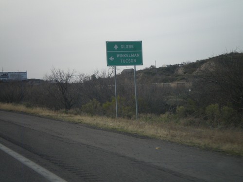
US-70 West at AZ-77

US-70 West at AZ-77

US-70 west at AZ-77. AZ-77 joins US-70 west into Globe.

US-70 West at AZ-77

US-70 West at AZ-77

US-70 west at AZ-77. Use AZ-77 south for Winkelman and Tucson. Continue west on US-70/AZ-77 north for Globe.
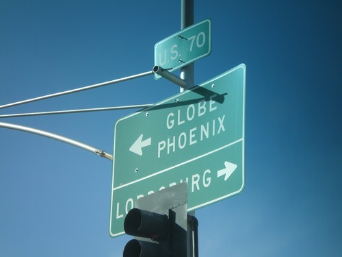
US-70 West Approaching AZ-77

US-70 West Approaching AZ-77

US-70 west approaching AZ-77

US-70 West Approaching BIA-8

US-70 West Approaching BIA-8

US-70 West approaching BIA-8.

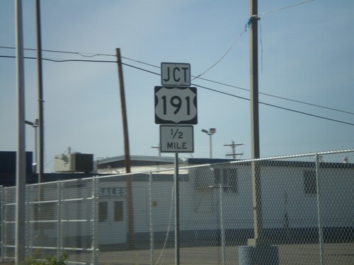
US-70 West at US-191 South

US-70 West at US-191 South

US-70 west at US-191 south. Use US-70 west for Globe and Phoenix. Use US-70 East/US-191 North for Lordsburg (NM).
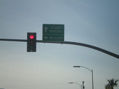
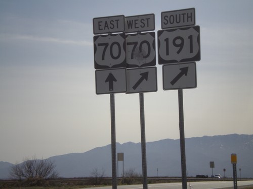
US-70 West at US-191 South

US-70 West at US-191 South

US-70 west at US-191 south. Use US-70 west for Globe and Phoenix. Use US-191 South for Willcox.
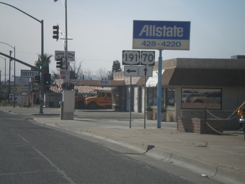
US-70 West/US-191 South at US-70/US-191 Split

US-70 West/US-191 South at US-70/US-191 Split

US-70 West/US-191 South at the US-70/US-191 Split. Turn left to continue south on US-191. US-70 continues straight ahead.
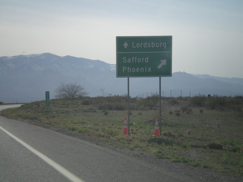
US-70 West/US-191 South Approaching US-191

US-70 West/US-191 South Approaching US-191

US-70 West/US-191 South Approaching US-191/US-70 split.

US-191 South at US-70

US-191 South at US-70

US-191 south at US-70. US-191 South joins US-70 west to Safford.

US-191 South Approaching US-70

US-191 South Approaching US-70

US-191 south approaching US-70. Use US-70 West/US-191 South for Safford and Phoenix. Use US-70 east for Lordsburg (NM).
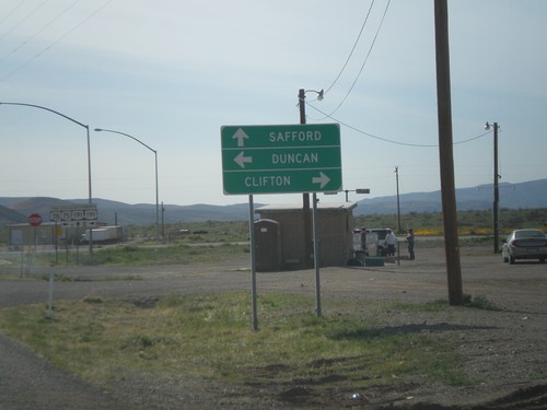
US-191 South Approaching US-70

US-191 South Approaching US-70

US-191 south approaching US-70.

End AZ-78 West at AZ-75 and US-191

End AZ-78 West at AZ-75 and US-191

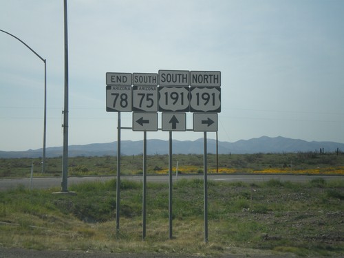
End AZ-78 west at AZ-75 and US-191.

End AZ-78 West at US-191/AZ-75

End AZ-78 West at US-191/AZ-75

End AZ-78 west at US-191/AZ-75. Use US-191 north for Clifton. Use US-191 south for Safford. Use AZ-75 south for Duncan.
AZ-78 West Approaching US-191/AZ-75

AZ-78 West Approaching US-191/AZ-75

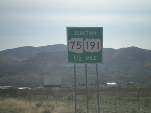
AZ-78 west approaching US-191 and AZ-75.

AZ-78 West - Welcome To Arizona

AZ-78 West - Welcome To Arizona

Welcome to Arizona on AZ-78 west at the Arizona-New Mexico State Line.
NM-78 East - Welcome To New Mexico

NM-78 East - Welcome To New Mexico

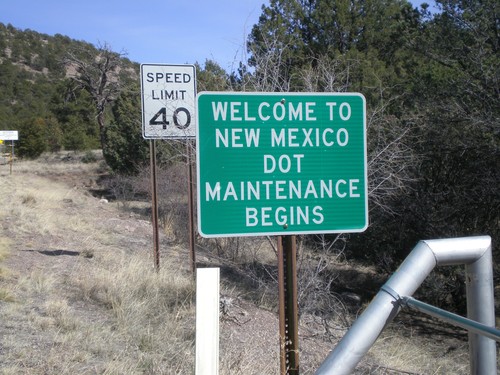
Welcome to New Mexico on NM-78 east. Begin DOT Maintenance.

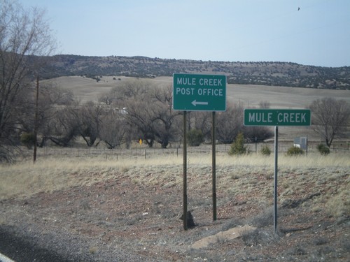
NM-78 West - Mule Creek

NM-78 West - Mule Creek

Entering the community of Mule Creek on NM-78 west.

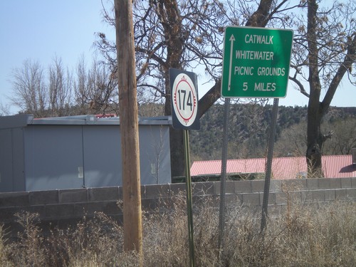
NM-174 East

NM-174 East

NM-174 east at US-180. Use NM-174 east for the Catwalk, and Whitewater Picnic Grounds.

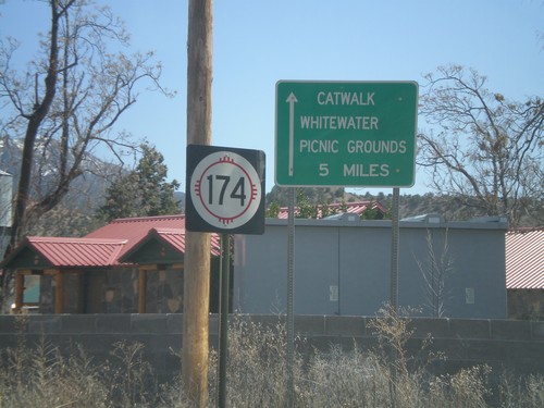
NM-174 East

NM-174 East

NM-174 east at US-180. Use NM-174 east for the Catwalk, and Whitewater Picnic Grounds.

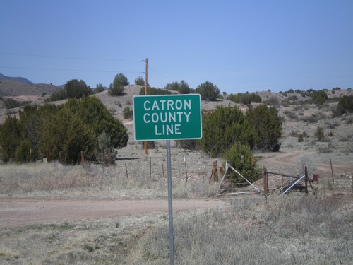
US-180 West - Catron County Line

US-180 West - Catron County Line

Catron County Line on US-180 west at the Grant-Catron County Line.

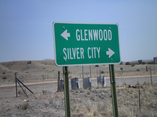
End NM-78 East at US-180

End NM-78 East at US-180

End NM-78 east at US-180. Use US-180 west for Glenwood. Use US-180 east for Silver City.
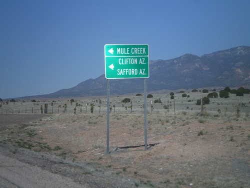
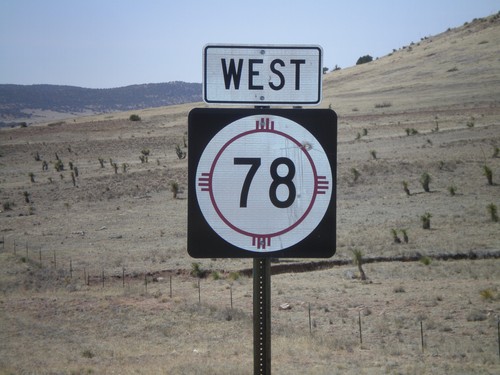
NM-78 West

NM-78 West

West NM-78

US-180 West Approaching NM-78

US-180 West Approaching NM-78

US-180 west approaching NM-78. Use NM-78 west for Clifton, AZ, Safford, AZ, and Mule Creek.
US-180 West Approaching NM-78

US-180 West Approaching NM-78

US-180 west approaching NM-78.

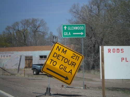
US-180 West at NM-211

US-180 West at NM-211

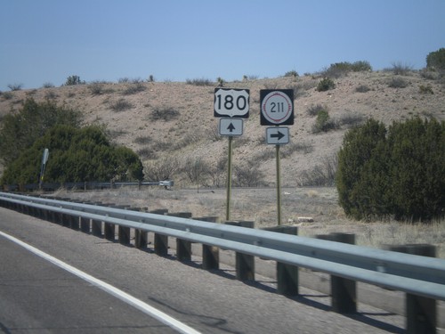
US-180 west at NM-211 to Gila.

US-180 West Approaching NM-211

US-180 West Approaching NM-211

US-180 west approaching NM-211

US-180 West - Distance Marker

US-180 West - Distance Marker

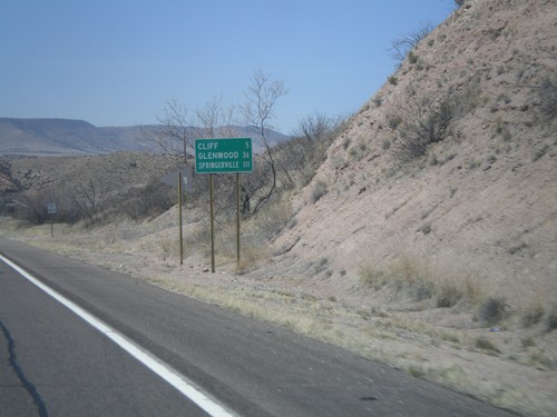
Distance marker on US-180 west to Cliff, Glenwood, and Springerville (AZ).
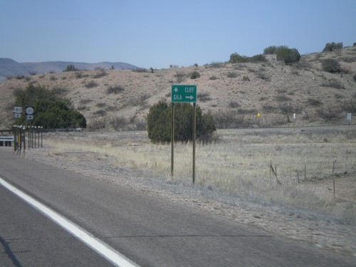
US-180 West at NM-211

US-180 West at NM-211

US-180 west at NM-211

US-180 West Approaching NM-211

US-180 West Approaching NM-211

US-180 west approaching NM-211 to Gila. US-180 continues west to Cliff.
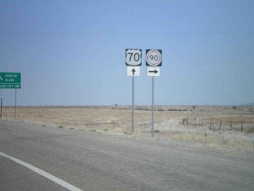
US-180 West - Silver City

US-180 West - Silver City

US-180 west in Silver City. Turn right to continue on US-180 west.

End NM-90 North at US-180

End NM-90 North at US-180

End NM-90 north at US-180 east.

NM-90 North Approaching US-180

NM-90 North Approaching US-180

NM-90 north approaching US-180.

US-70 West/NM-90 East at Split

US-70 West/NM-90 East at Split

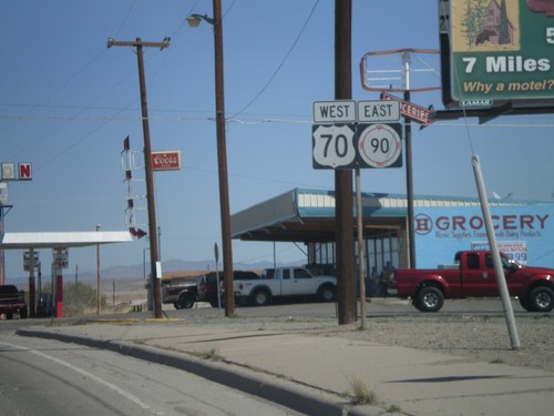
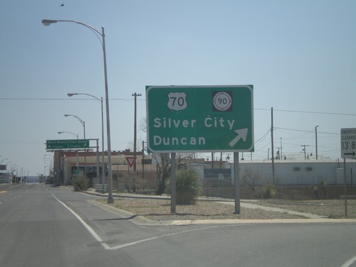
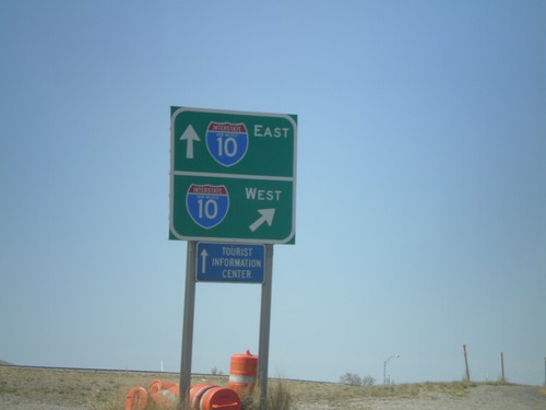
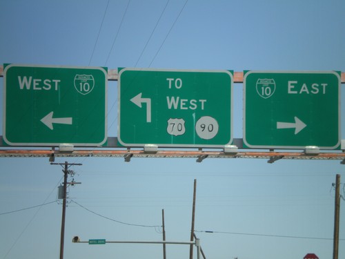
US-70 West/NM-90 East at US-70/NM-90 split. Use US-70 west for Duncan(AZ) and Globe(AZ). Use NM-90 for Silver City.
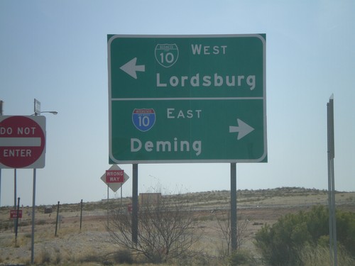
US-70 West/NM-90 East Approaching Split

US-70 West/NM-90 East Approaching Split

US-70 West/NM-East approaching US-70/NM-90 Split.

US-70 West/NM-90 East

US-70 West/NM-90 East

US-70 West/NM-90 east in Lordsburg.

BL-10 East at US-70/NM-90

BL-10 East at US-70/NM-90

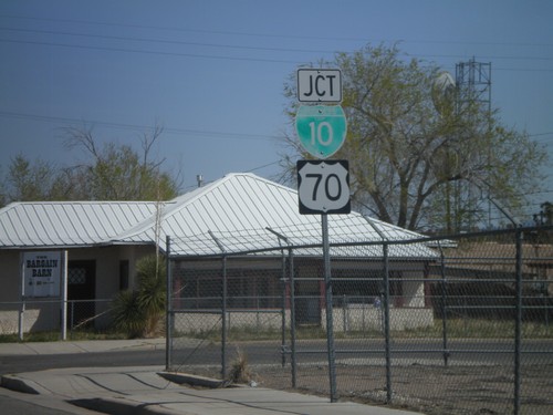
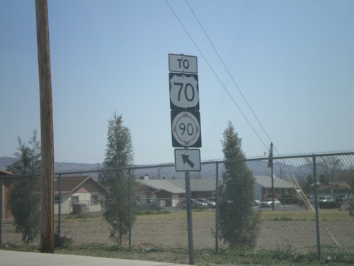
BL-10 east at US-70/NM-90 to Duncan (AZ) and Silver City.

BL-10 West at I-10 East to Deming

BL-10 West at I-10 East to Deming

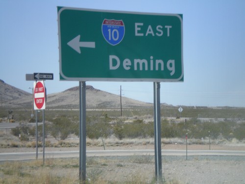
BL-10 west at I-10 east to Deming.

Rest Area Access Road at BL-10

Rest Area Access Road at BL-10

New Mexico Rest Area access road at BL-10. Turn right for I-10 East to Deming. Turn left for BL-10 east into Lordsburg.
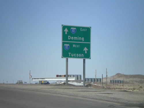
BL-10 West at I-10

BL-10 West at I-10

BL-10 west at I-10 West. Head over the overpass for I-10 east.

BL-10 West Approaching I-10

BL-10 West Approaching I-10

BL-10 west approaching I-10. Use I-10 west for Tucson. Use I-10 east for Deming.
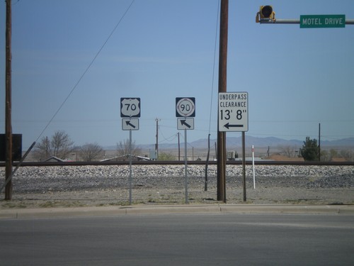
NM-494 North at US-70/BL-10/NM-90

NM-494 North at US-70/BL-10/NM-90

NM-494 north at US-70/BL-10/NM-90. US-70/NM-90 split off BL-10 here towards Silver City.
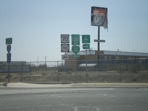
NM-494 North at BL-10/US-70/NM-90

NM-494 North at BL-10/US-70/NM-90

NM-494 north at BL-10/US-70 and NM-90.

NM-494 North Approaching BL-10/US-70

NM-494 North Approaching BL-10/US-70

NM-494 north approaching BL-10 and US-70.

NM-494 North To US-70/NM-90

NM-494 North To US-70/NM-90

NM-494 north to US-70/NM-90 in Lordsburg.

I-10 East at Exit 22 Offramp

I-10 East at Exit 22 Offramp

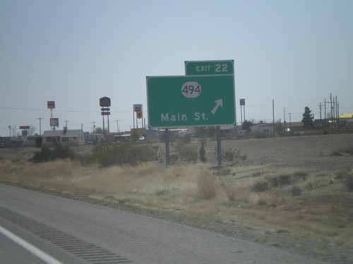
I-10 east at Exit 22 offramp at NM-494 junction. Use NM-494 north for BL-10/US-70/NM-90.
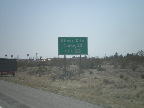
I-10 East - Exit 22

I-10 East - Exit 22

I-10 east at Exit 22 - NM-494/Main St.

I-10 East Approaching Exit 22

I-10 East Approaching Exit 22

I-10 east approaching Exit 22. Use Exit 22 for Silver City (via NM-90) and Globe, AZ (via US-70).
I-10 East - Exit 20B

I-10 East - Exit 20B

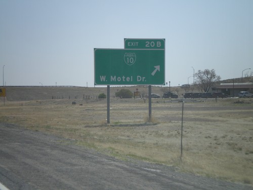
I-10 east at Exit 20B - BL-10/Motel Drive.

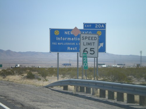
I-10 East - Exit 20A

I-10 East - Exit 20A

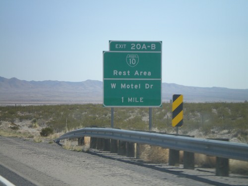
I-10 west at Exit 20A - New Mexico Information Center/Rest Area. Speed limit drops from 75 MPH to 65 MPH as I-10 enters Lordsburg.
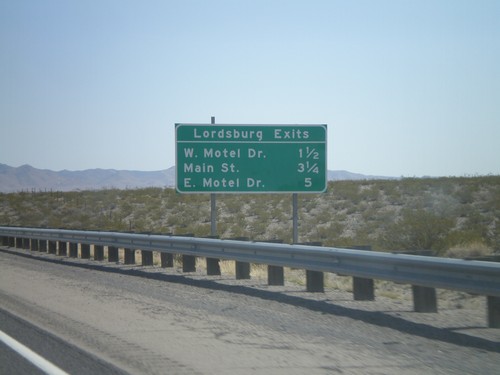
I-10 East - Exits 20A-B

I-10 East - Exits 20A-B

I-10 east approaching Exits 20AB - BL-10/Rest Area/Motel Drive.

I-10 East - Lordsburg Exits

I-10 East - Lordsburg Exits

Lordsburg Exits on I-10 East - W. Motel Drive, Main St., and E. Motel Drive.
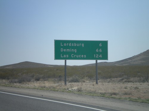
I-10 East - Distance Marker

I-10 East - Distance Marker

Distance marker on I-10 east to Lordsburg, Deming, and Las Cruces. The control city in western New Mexico along I-10 is Las Cruces. In Arizona the control city is El Paso.
I-10 East - Exit 15

I-10 East - Exit 15

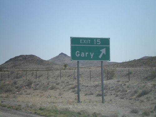
I-10 east at Exit 15 - Gary.

NM-338 North at I-10 Onramp

NM-338 North at I-10 Onramp

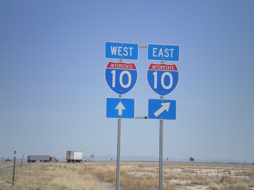
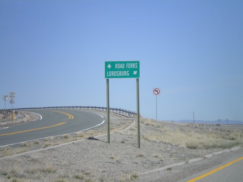
NM-338 north at I-10. Use I-10 west for Road Forks. Use I-10 east for Lordsburg.
NM-338 North at I-10

NM-338 North at I-10

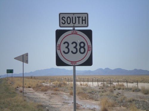
NM-338 north at I-10. NM-338 north ends here.

NM-338 South

NM-338 South

NM-338 south. In the background there is a distance marker to Cotton City, Animas, and Playas.
I-10 East - Exit 11

I-10 East - Exit 11

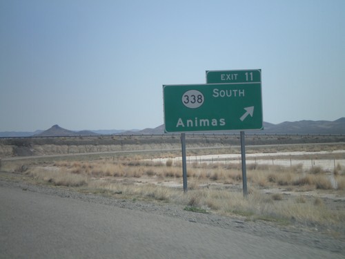
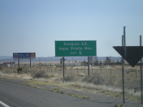
I-10 east at Exit 11 - NM-338 South/Animas.

I-10 East - Exit 5

I-10 East - Exit 5

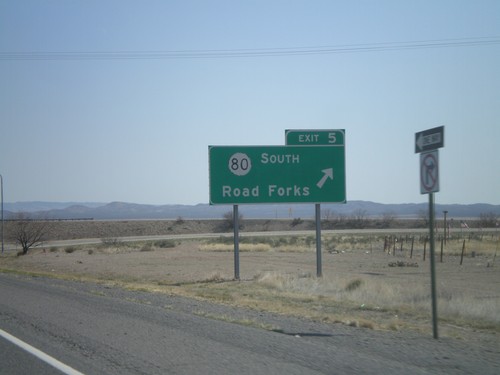
I-10 east at Exit 5 - NM-80 South/Road Forks.

I-10 East Approaching Exit 5

I-10 East Approaching Exit 5

I-10 east approaching Exit 5. Use NM-80 south for Douglas, AZ and Agua Prieta, Mexico.
I-10 Onramp at Exit 3

I-10 Onramp at Exit 3

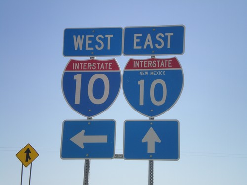
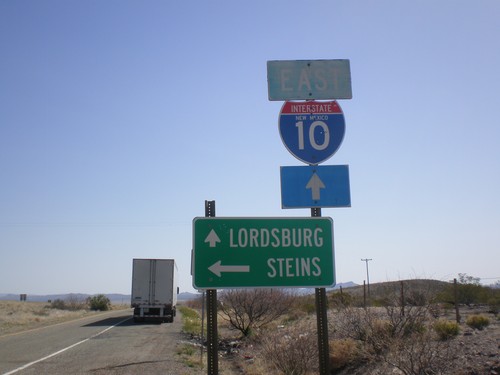
I-10 onramp at Exit 3. One of the I-10 shields as the state name in it.

I-10 East at Exit 3 Offramp

I-10 East at Exit 3 Offramp

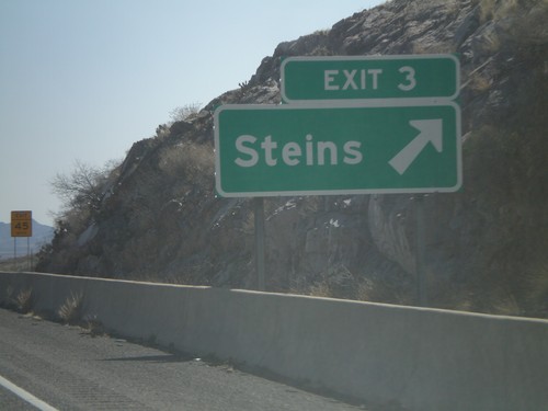
I-10 east at Exit 3 offramp. Turn left for Steins. Continue ahead for I-10 east to Lordsburg.
I-10 East - Exit 3

I-10 East - Exit 3

I-10 east at Exit 3 - Steins. This is the first exit in New Mexico along I-10.

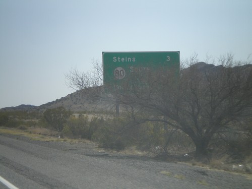
I-10 East - Distance Marker

I-10 East - Distance Marker

Distance marker on I-10 east. Distance to Steins, NM-80, and Lordsburg. This is the first distance marker along I-10 in New Mexico.
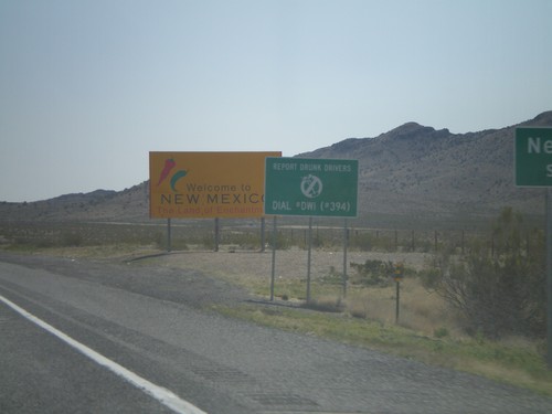
I-10 East - Welcome To New Mexico

I-10 East - Welcome To New Mexico

Welcome to New Mexico on I-10 east. Taken at the Arizona-New Mexico State Line.
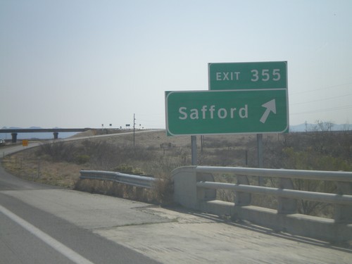
I-10 East - Exit 390

I-10 East - Exit 390

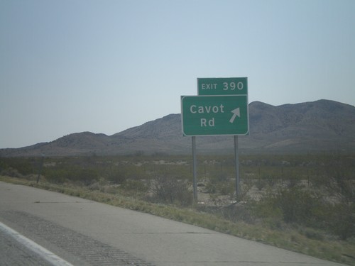
I-10 east at Exit 390 - Cavot Road.

I-10 East - Exit 382

I-10 East - Exit 382

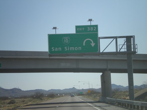
I-10 east at Exit 382 - BL-10/San Simon

I-10 East - Exit 378

I-10 East - Exit 378

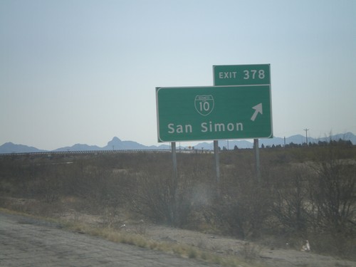
I-10 east at Exit 378 - BL-10/San Simon

I-10 East - Exit 366

I-10 East - Exit 366

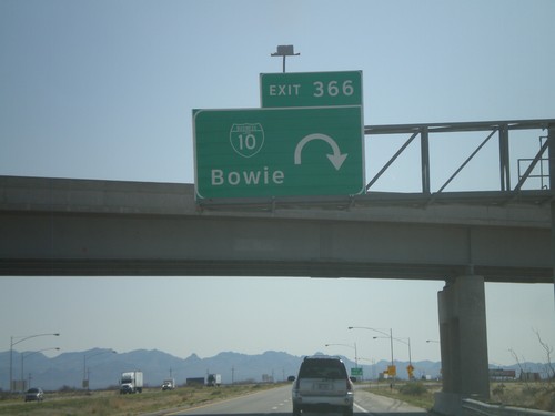
I-10 east at Exit 366 - BL-10/Bowie.

I-10 East - Exit 362

I-10 East - Exit 362

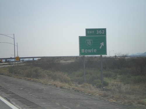
I-10 east at Exit 362 - BL-10/Bowie

I-10 East - Exit 355

I-10 East - Exit 355

I-10 east at Exit 355 - Safford. This is a short spur which connects to US-191 north.
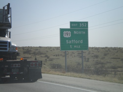
I-10 East - Exit 352

I-10 East - Exit 352

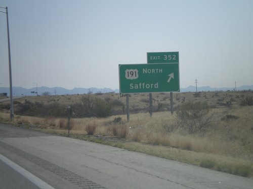
I-10 east at Exit 352 - US-191 North/Safford. US-191 north leaves I-10 here.

I-10 East Approaching Exit 352

I-10 East Approaching Exit 352

I-10 east approaching Exit 352 - US-191 North/Safford. US-191 north leaves I-10 here.
I-10 East - Exit 344

I-10 East - Exit 344

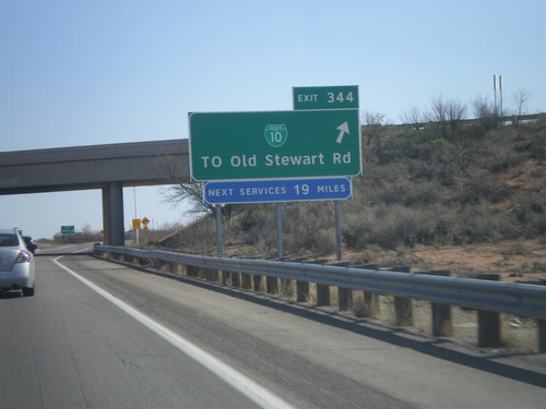
I-10 east at Exit 344 -BL-10/To Old Stewart Road

I-10 East - Exit 340

I-10 East - Exit 340

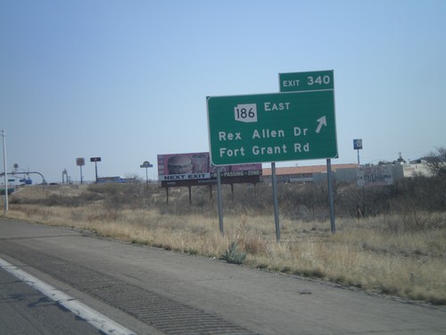
I-10 east at Exit 340 - AZ-186 East/Rex Allen Drive/Fort Grant Road.

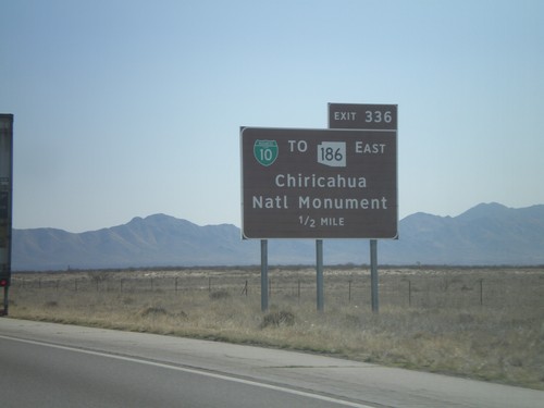
I-10 East Approaching Exit 336

I-10 East Approaching Exit 336

I-10 east approaching Exit 336 - BL-10/To AZ-186 East/Chiricahua National Monument.
I-10 East Approaching Exit 336

I-10 East Approaching Exit 336

I-10 east approaching Exit 336 - BL-10/To AZ-186 East/Chiricahua National Monument.
US-191 North at I-10

US-191 North at I-10

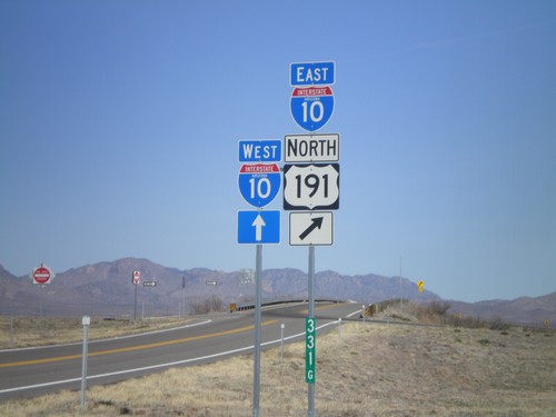
US-191 north at I-10, Exit 331 onramp. US-191 joins I-10 eastbound.

US-191 South - Distance Marker

US-191 South - Distance Marker

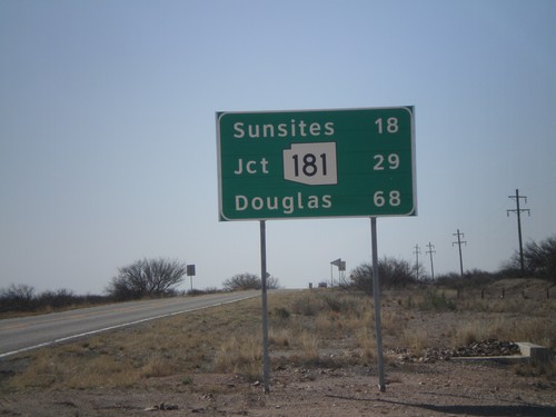
Distance marker on US-191 south to Sunsites, AZ-181, and Douglas.

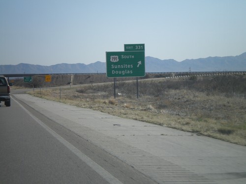
I-10 East - Exit 331

I-10 East - Exit 331

I-10 east at Exit 331 - US-191 South/Sunsites/Douglas. US-191 north joins I-10 eastbound.
I-10 East - Exit 322

I-10 East - Exit 322

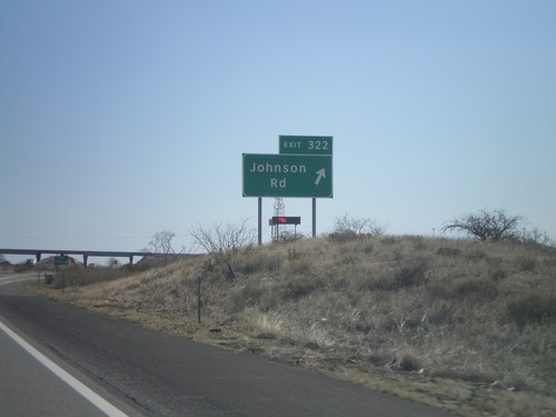
I-10 east at Exit 322 - Johnson Road

I-10 East - Exit 318

I-10 East - Exit 318

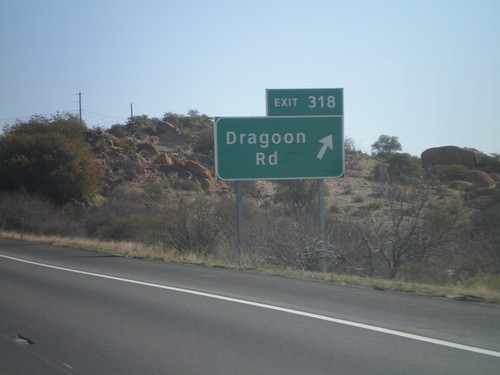
I-10 east at Exit 318 - Dragoon Road.

I-10 East - Exit 312

I-10 East - Exit 312

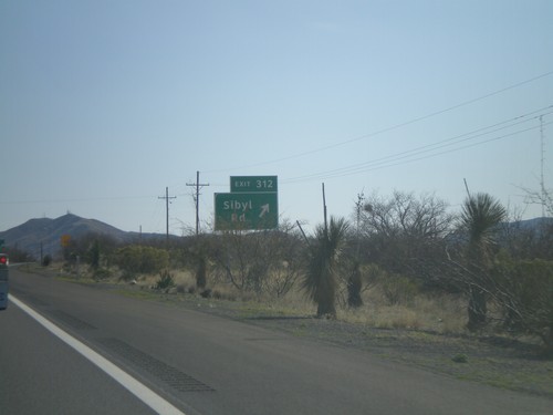
I-10 east at Exit 312 - Sibyl Road.

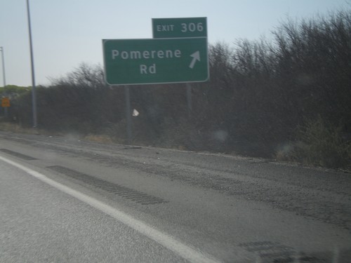
I-10 East - Exit 306

I-10 East - Exit 306

I-10 east at Exit 306 - Pomerene Road. This is the eastern end of the Benson Business Loop.
I-10 East - Exit 304

I-10 East - Exit 304

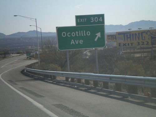
I-10 east at Exit 304 - Ocotillo Ave.

I-10 East - Exit 303

I-10 East - Exit 303

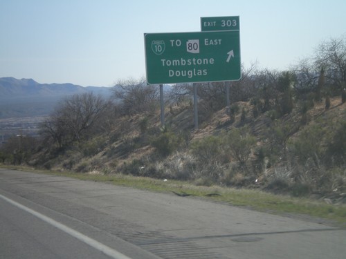
I-10 east at Exit 303 - BL-10/To AZ-80 East/Tombstone/Douglas.

I-10 East - Exits 302 and 303

I-10 East - Exits 302 and 303

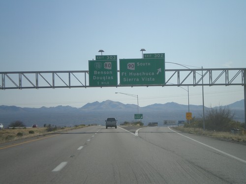
I-10 east at Exit 302 - AZ-90 South/Fort Huachuca/Sierra Vista. Approaching Exit 303 - BL-10/AZ-80/Benson/Douglas.
I-10 East - Exit 299

I-10 East - Exit 299

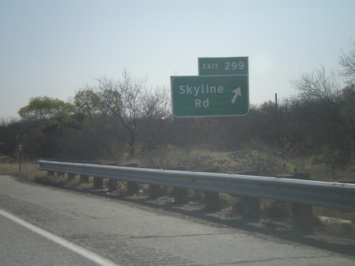
I-10 east at Exit 299 - Skyline Road

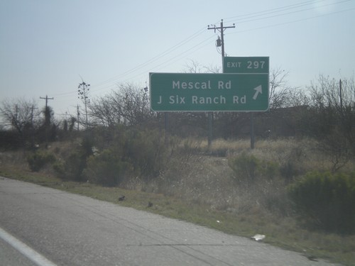
I-10 East - Exit 297

I-10 East - Exit 297

I-10 east at Exit 297 - Mescal Road/J Six Ranch Road.

I-10 East - Entering Cochise County

I-10 East - Entering Cochise County

Entering Cochise County on I-10 east at the Pima-Cochise County Line.
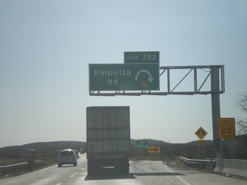
I-10 East - Exit 292

I-10 East - Exit 292

I-10 east at Exit 292 - Empirita Road.

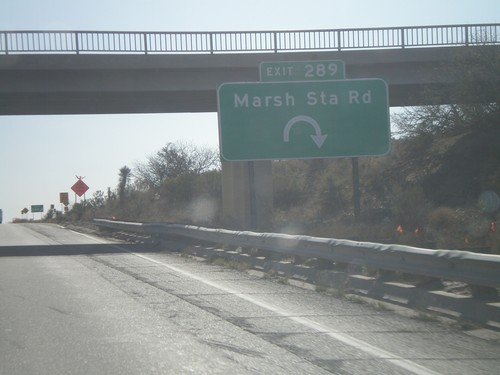
I-10 East - Exit 289

I-10 East - Exit 289

I-10 east at Exit 289 - March Station Road.

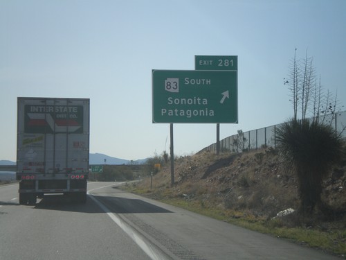
I-10 East - Exit 281

I-10 East - Exit 281

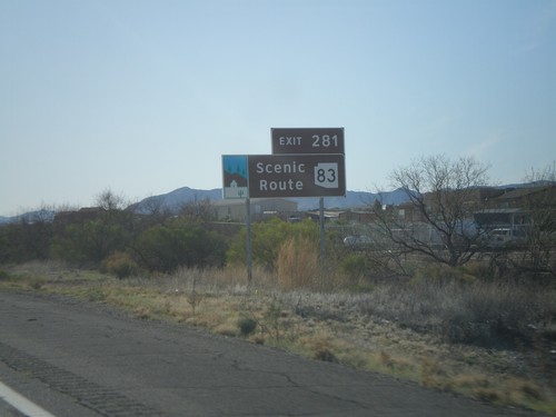
I-10 east at Exit 281 - AZ-83 South/Sonoita/Patagonia.

I-10 East Approaching Exit 281

I-10 East Approaching Exit 281

I-10 east approaching Exit 281 - AZ-83. AZ-83 is an Arizona Scenic Byway.
I-10 East - Exit 279

I-10 East - Exit 279

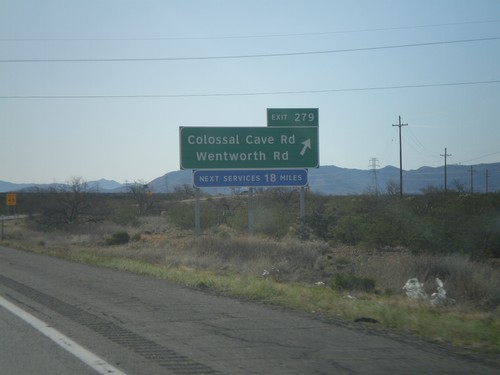
I-10 east at Exit 279 - Colossal Cave Road/Wentworth Road.

I-10 East - Exit 275

I-10 East - Exit 275

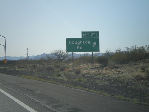
I-10 east at Exit 275 - Houghton Road.

I-10 East - Exit 273

I-10 East - Exit 273

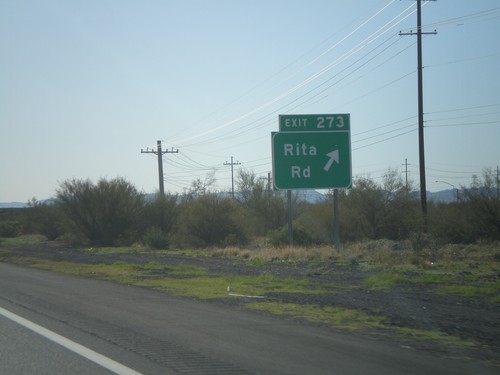
I-10 east at Exit 273 - Rita Road.

I-10 East - Exit 270

I-10 East - Exit 270

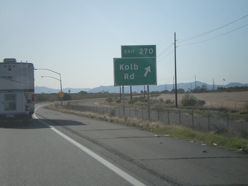
I-10 east at Exit 270 - Kolb Road.

I-10 East - Exit 269

I-10 East - Exit 269

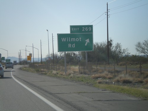
I-10 east at Exit 269 - Wilmot Road.

I-10 East - Exit 268

I-10 East - Exit 268

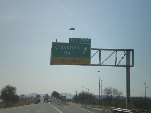
I-10 east at Exit 268 - Craycroft Road.

I-10 East - Exit 267

I-10 East - Exit 267

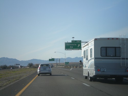
I-10 east at Exit 267 - Valencia Road.

I-10 East - Exit 265

I-10 East - Exit 265

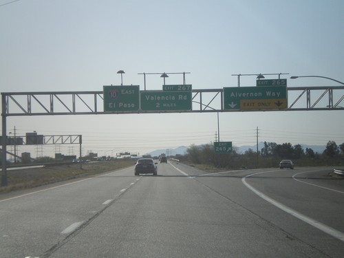
I-10 east at Exit 265 - Alvernon Way. Approaching Exit 267 - Valencia Road. I-10 continues east towards El Paso.
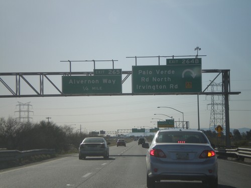
I-10 East - Exits 264B and Exit 265

I-10 East - Exits 264B and Exit 265

I-10 east at Exit 264B - Palo Verde Road North/Irvington Road. Approaching Exit 265 - Alvernon Way.
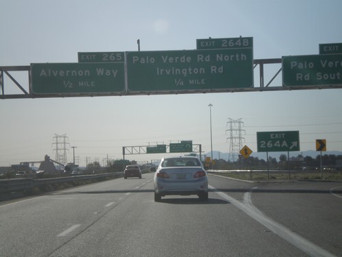
I-10 East - Exits 264AB and Exit 265

I-10 East - Exits 264AB and Exit 265

I-10 east at Exit 264A - Palo Verde Road South. Approaching Exit 264B - Palo Verde Road North/Irvington Road. Also approaching Exit 265 - Alvernon Way.
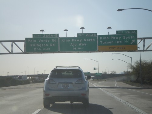
I-10 East - Exit 263B

I-10 East - Exit 263B

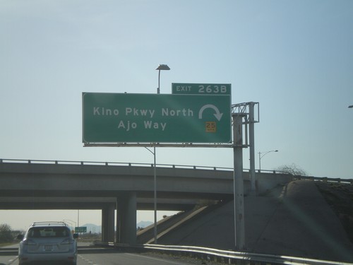
I-10 east at Exit 263B - Kino Parkway North/Ajo Way.

I-10 East - Exits 263AB and 264AB

I-10 East - Exits 263AB and 264AB

I-10 east at Exit 263A - Kino Parkway South/Tucson International Airport. Approaching Exit 263B - Kino Parkway North/Ajo Way. Also approaching Exit 264A-B - Palo Verde Road/Irvington Road.
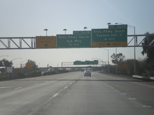
I-10 East - Exits 263A and 263B

I-10 East - Exits 263A and 263B

I-10 east at Exit 263A - Kino Parkway South/Tucson International Airport. Approaching Exit 263B - Kino Parkway North/Ajo Way.
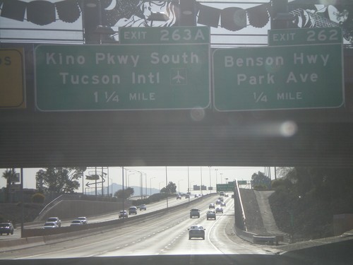
I-10 East - Exit 262

I-10 East - Exit 262

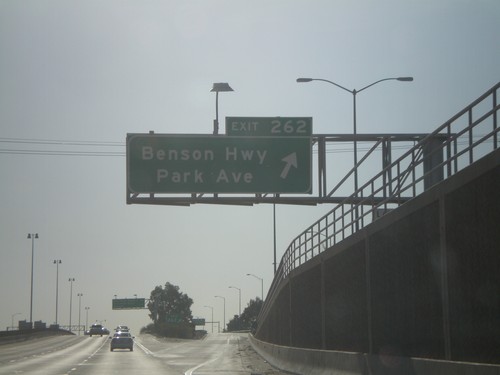
I-10 east at Exit 262 - Benson Highway/Park Ave

I-10 East Approaching Exit 262 and 263A

I-10 East Approaching Exit 262 and 263A

I-10 east at Exit 262 - Benson Highway/Park Ave. Approaching Exit 263A - Kino Parkway South/Tucson International Airport.
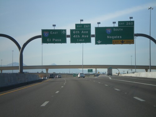
I-10 East - Exit 261

I-10 East - Exit 261

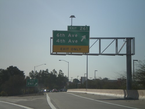
I-10 east at Exit 261 - 6th Ave/4th Ave

I-10 East - Exits 260 and 261

I-10 East - Exits 260 and 261

I-10 east at Exit 260 - I-19 South/Nogales. Approaching Exit 261 - 6th Ave./4th Ave. I-10 continues east towards the Tucson Airport and El Paso.
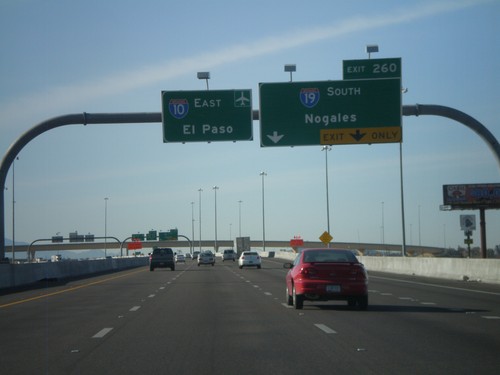
I-10 East Approaching Exit 260

I-10 East Approaching Exit 260

I-10 east approaching Exit 260 - I-19 South/Nogales. I-10 continues east towards the Tucson Airport and El Paso.
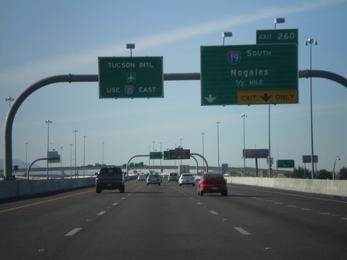
I-10 East Approaching Exit 260

I-10 East Approaching Exit 260

I-10 east approaching Exit 260 - I-19 South/Nogales. Use I-10 east for Tucson International Airport.
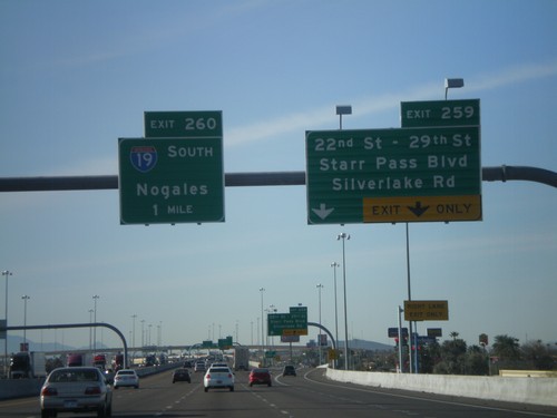
I-10 East - Exit 259

I-10 East - Exit 259

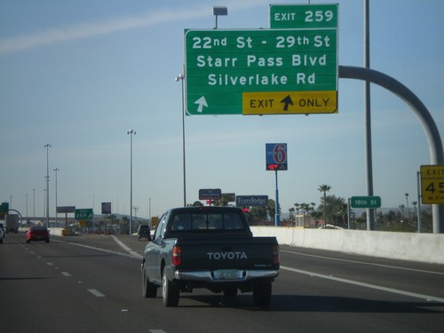
I-10 east at Exit 259 - 22nd St - 29th St/Starr Pass Blvd/Silverlake Road.

I-10 East Approaching Exits 259 and 260

I-10 East Approaching Exits 259 and 260

I-10 east approaching Exit 259 - 22nd St - 29th St./Starr Pass Blvd/Silverlake Road. Approaching Exit 260 - I-19 South/Nogales.
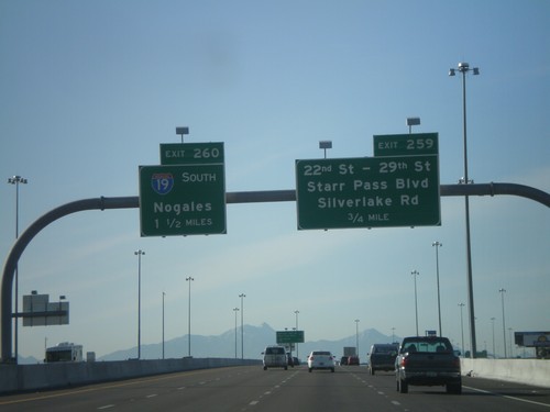
I-10 East Approaching Exit 259 and 260

I-10 East Approaching Exit 259 and 260

I-10 east at Exit 259 - 22nd St. - 29th St./Starr Pass Blvd./Silverlake Road. Approaching Exit 260 - I-19 South/Nogales.
I-10 East - Exit 258

I-10 East - Exit 258

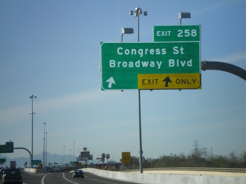
I-10 east at Exit 258 - Congress St/Broadway Blvd

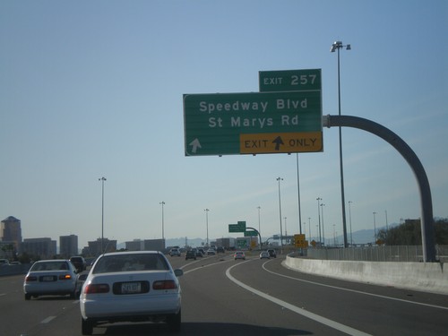
I-10 East - Exit 257

I-10 East - Exit 257

I-10 east at Exit 257 - Speedway Blvd/St Marys Road

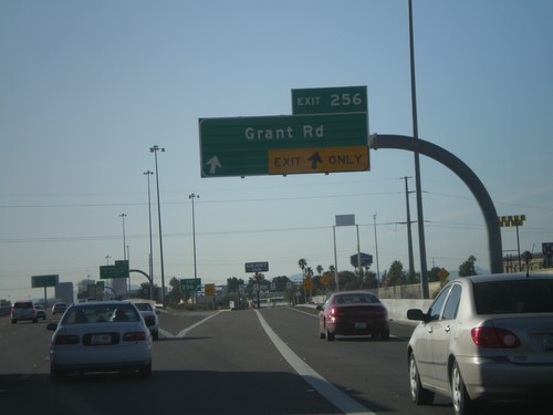
I-10 East - Exit 256

I-10 East - Exit 256

I-10 east at Exit 256 - Grant Road.

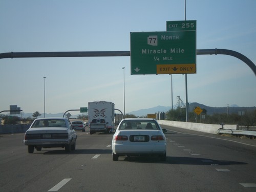
I-10 East - Exit 255

I-10 East - Exit 255

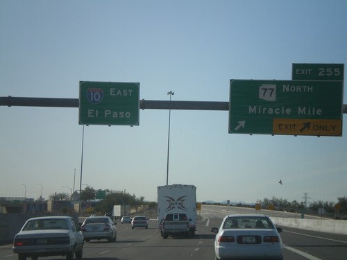
I-10 east at Exit 255 - AZ-77 North/Miracle Mile. I-10 continues east to El Paso.
I-10 East - Exit 254

I-10 East - Exit 254

I-10 east at Exit 254 - AZ-77 North/Miracle Mile.

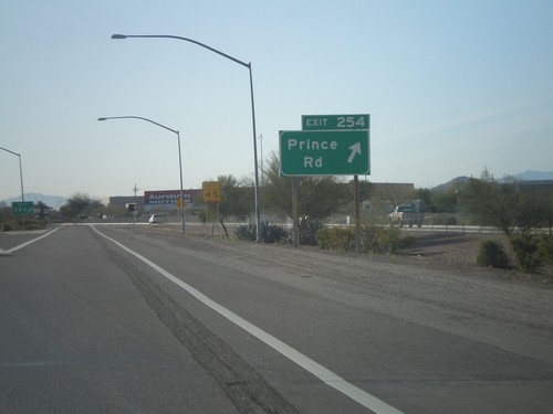
I-10 East - Exit 254

I-10 East - Exit 254

I-10 east at Exit 254 - Prince Road.

I-10 East - Exit 252

I-10 East - Exit 252

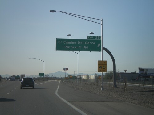
I-10 east at Exit 252 - El Camino Del Cerro/Ruthrauff Road.

I-10 East - Exit 251.  Tucson City Limits.

I-10 East - Exit 251. Tucson City Limits.

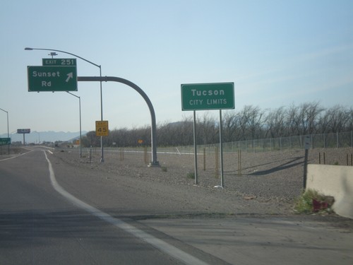
I-10 east at Exit 251 - Sunset Road. Entering the city of Tucson.
Ina Road West at I-10

Ina Road West at I-10

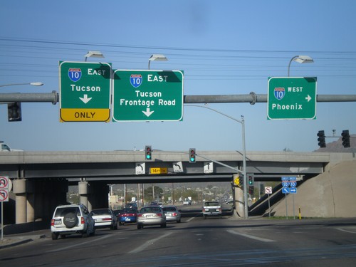
Ina Road west at I-10. Use I-10 west for Phoenix. Use I-10 east for Tucson.

Ina Road West Approaching I-10

Ina Road West Approaching I-10

Ina Road west approaching I-10.

End I-8 East at I-10

End I-8 East at I-10

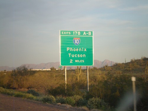
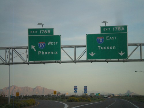
End I-8 east at I-10. Exit 178A - I-10 East/Tucson. Exit 178B - I-10 West/Phoenix.
I-8 East Approaching I-10

I-8 East Approaching I-10

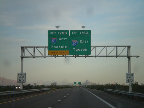
I-8 east approaching I-10. Exit 178A - I-10 East/Tucson. Exit 178B - I-10 West/Phoenix. This is the eastern end of I-8.
I-8 East Approaching Exit 178A and 178B

I-8 East Approaching Exit 178A and 178B

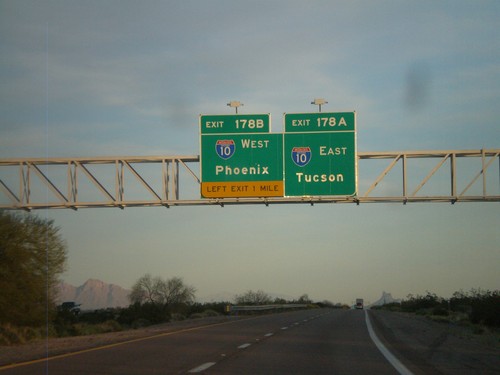
I-8 east approaching Exit 178A - I-10 East/Tucson and Exit 178B - I-10 West/Phoenix.
I-8 East Approaching I-10

I-8 East Approaching I-10

I-8 east approaching Exit 178AB - I-10/Phoenix/Tucson.

I-8 East - Exit 174

I-8 East - Exit 174

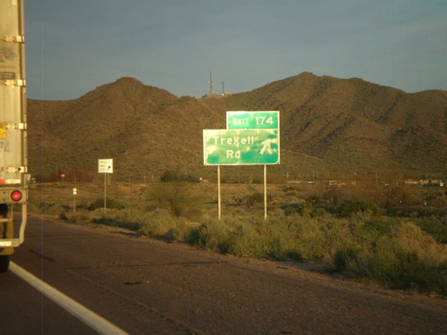
I-8 east at Exit 174 - Trekell Road.

I-8 East Approaching Exit 172

I-8 East Approaching Exit 172

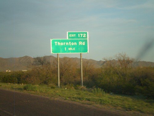
I-8 east approaching Exit 172 - Thornton Road.

I-8 East Approaching Exit 169

I-8 East Approaching Exit 169

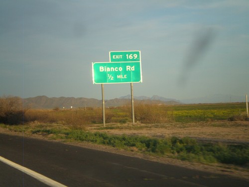
I-8 east approaching Exit 169 - Bianco Road.

I-8 East - Exit 167

I-8 East - Exit 167

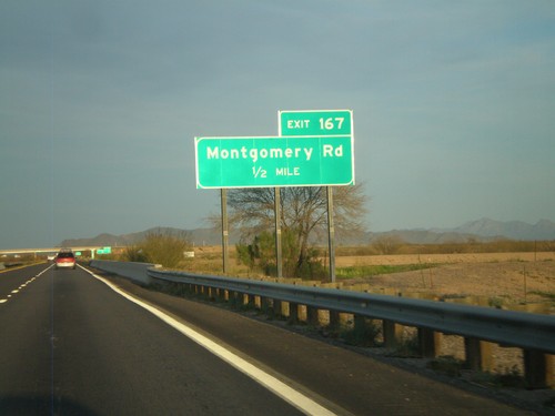
I-8 east at Exit 167 - Montgomery Road

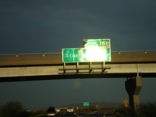
I-8 East - Exit 161

I-8 East - Exit 161

I-8 east at Exit 161 - Stanfield Road.

I-8 East - Exit 151

I-8 East - Exit 151

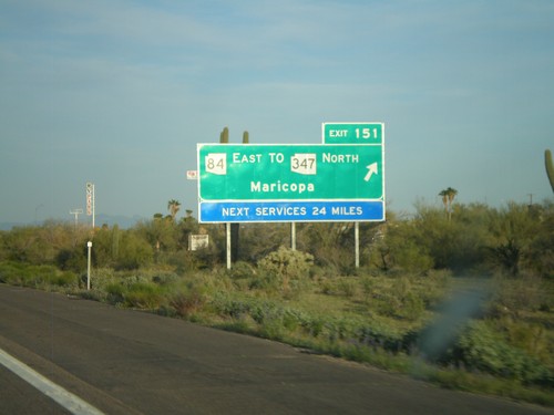
I-8 east at Exit 151 - AZ-84 East/To AZ-347 North/Maricopa. Next services along I-8 east is 24 miles.
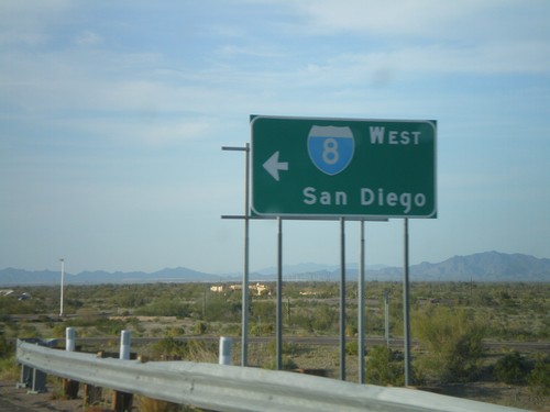
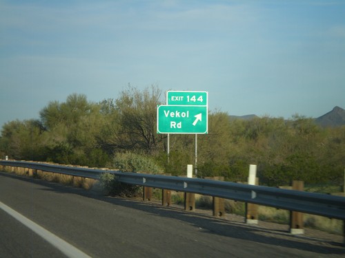
I-8 East - Exit 144

I-8 East - Exit 144

I-8 east at Exit 144 - Vekol Road.

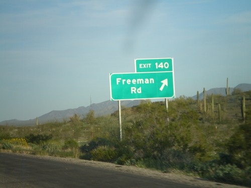
I-8 East - Exit 140

I-8 East - Exit 140

I-8 east at Exit 140 - Freeman Road.

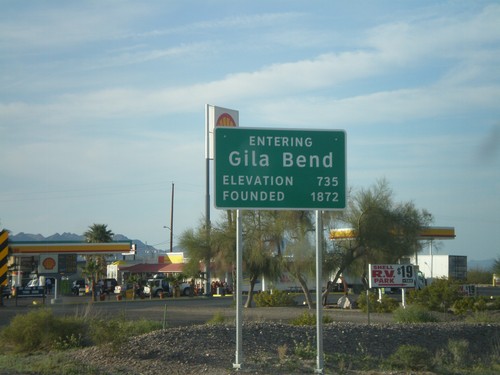
Entering Gila Bend on BL-8 West

Entering Gila Bend on BL-8 West

Entering Gila Bend on BL-8 west. Founded in 1872. Elevation 735.

BL-8 west at I-8 West Onramp

BL-8 west at I-8 West Onramp

BL-8 west at I-8 west onramp at Exit 119. Use I-8 west for San Diego. BL-8 west continues into Gila Bend.
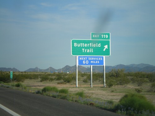
I-8 East - Exit 119

I-8 East - Exit 119

I-8 east at Exit 119 - Butterfield Trail. This is the eastern end of the Gila Bend business loop.
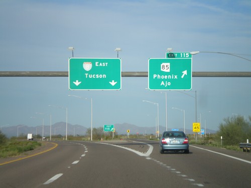
I-8 East - Exit 115

I-8 East - Exit 115

I-8 east at Exit 115 - AZ-85/Ajo/Phoenix. I-8 continues east towards Tucson. This is the western end of the Gila Bend business loop.
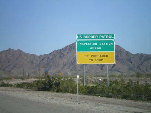
I-8 East Approaching Gila Bend

I-8 East Approaching Gila Bend

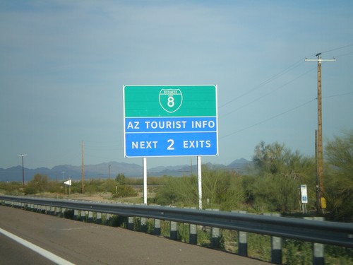
I-8 east approaching Gila Bend. Use the next two exits for BL-8.

I-8 East - Gila Bend Exits

I-8 East - Gila Bend Exits

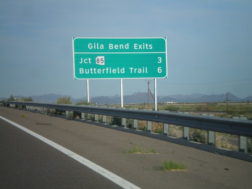
Gila Bend exits on I-8 east - Jct. AZ-85 and Butterfield Trail.

I-8 East - Exit 111

I-8 East - Exit 111

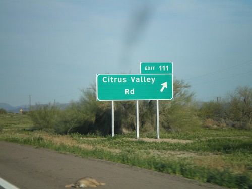
I-8 east at Exit 111 - Citrus Valley Road.

I-8 East - Exit 106

I-8 East - Exit 106

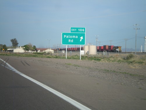
I-8 east at Exit 106 - Paloma Road.

I-8 East - Exit 102

I-8 East - Exit 102

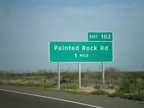
I-8 east at Exit 102 - Painted Rock Road.

I-8 East - Exit 87

I-8 East - Exit 87

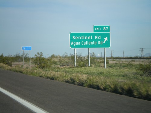
I-8 east at Exit 87 - Sentinel Road/Agua Caliente Road.

I-8 East Approaching Exit 78

I-8 East Approaching Exit 78

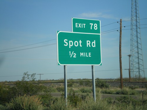
I-8 east approaching Exit 78 - Spot Road.

I-8 East - Exit 73

I-8 East - Exit 73

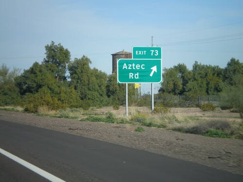
I-8 east at Exit 73 - Aztec Road.

I-8 East - Exit 67

I-8 East - Exit 67

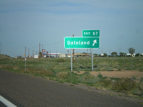
I-8 east at Exit 67 - Dateland

I-8 East - Exit 54

I-8 East - Exit 54

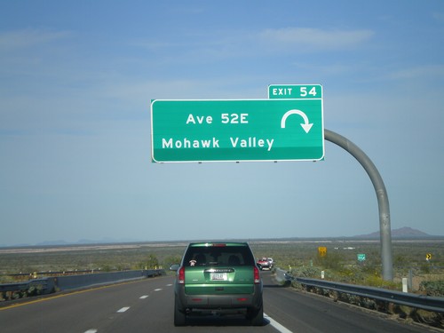
I-8 east at Exit 54 - Ave 52E/Mohawk Valley.

I-8 East - Exit 42

I-8 East - Exit 42

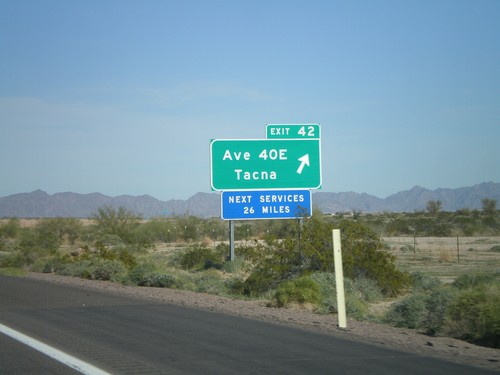
I-8 east at Exit 42 - Ave 40E/Tacna

I-8 East - Exit 37

I-8 East - Exit 37

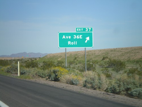
I-8 east at Exit 37 - Ave 36E/Roll.

I-8 East - Exit 30

I-8 East - Exit 30

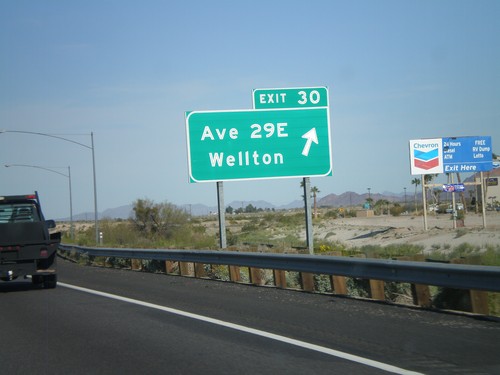
I-8 east at Exit 30 - Ave 29E/Wellton.

I-8 East Approaching US Border Patrol Inspection Station

I-8 East Approaching US Border Patrol Inspection Station

I-8 approaching the US Border Patrol Inspection Station, east of Yuma. The station was closed at the time this picture was taken.
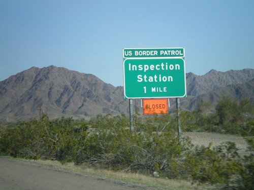
I-8 East Approaching US Border Patrol Inspection Station

I-8 East Approaching US Border Patrol Inspection Station

I-8 east approaching the US Border Patrol Inspection Station. The station was closed at the time this picture was taken, and another station was set up about 50 miles east of here.
I-8 East - Exit 14

I-8 East - Exit 14

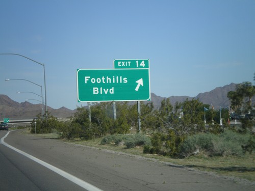
I-8 east at Exit 14 - Foothills Blvd.

I-8 East - Exit 12

I-8 East - Exit 12

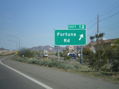
I-8 east at Exit 12 - Fortuna Road.

I-8 East - Exit 9

I-8 East - Exit 9

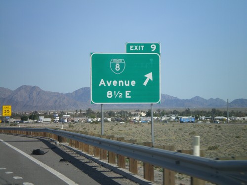
I-8 east at Exit 9 - BL-8/Avenue 8 1/2 East.

I-8 East - Exit 7

I-8 East - Exit 7

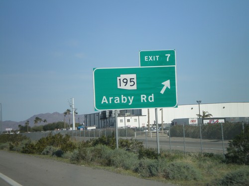
I-8 east at Exit 7 - AZ-195/Araby Road. AZ-195 is being constructed as an alternate route between Yuma and the San Luis Port of Entry at the Mexico border. Currently only a few miles of this route is complete.
AZ-280 North at I-8

AZ-280 North at I-8

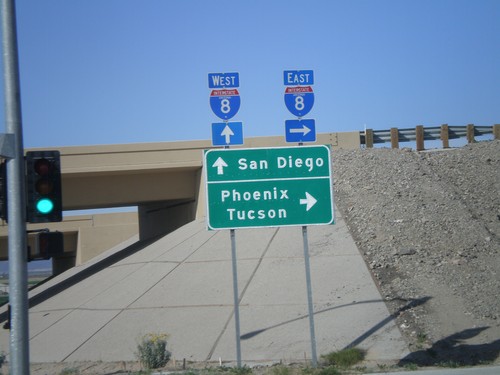
AZ-280 north at I-8. Use I-8 west for San Diego. Use I-8 east for Phoenix and Tucson.
AZ-280 South

AZ-280 South

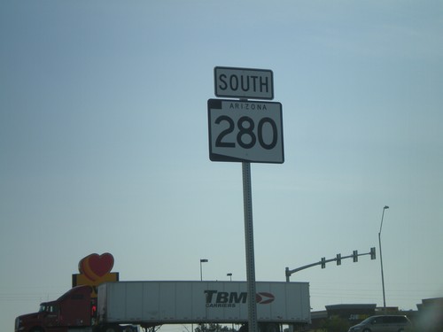
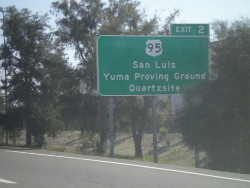
AZ-280 south along Ave 3E in Yuma.

I-8 East Exit 3 Offramp at AZ-280

I-8 East Exit 3 Offramp at AZ-280

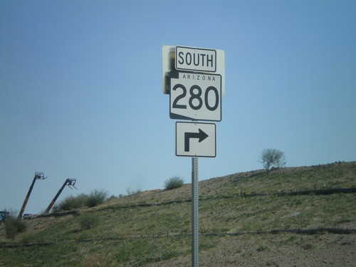
I-8 east Exit 3 offramp at AZ-280 south.

I-8 East - Exit 3

I-8 East - Exit 3

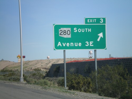
I-8 east at Exit 3 -AZ-280 South/Ave 3E

I-8 East - Exit 2

I-8 East - Exit 2

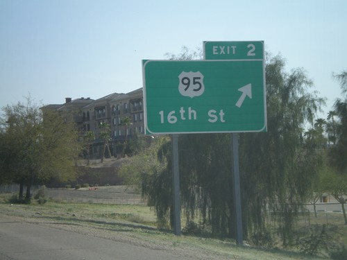
I-8 east at Exit 2 - US-95/16th St.

I-8 East - Distance Marker

I-8 East - Distance Marker

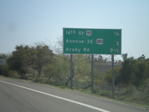
Upcoming exits on I-8 east - 16th St./US-95, Ave 3E/AZ-280, Araby Road.

I-8 East Approaching Exit 2

I-8 East Approaching Exit 2

I-8 east approaching Exit 2 - US-95 jct. Use US-95 for San Luis, Yuma Proving Ground, and Quartzite.
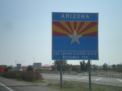
I-8 East - Welcome To Arizona

I-8 East - Welcome To Arizona

I-8 east - Welcome To Arizona. The welcome sign is about a mile inside of Arizona after Exit 1. There is a smaller welcome sign on the Colorado River bridge at the actual state line.
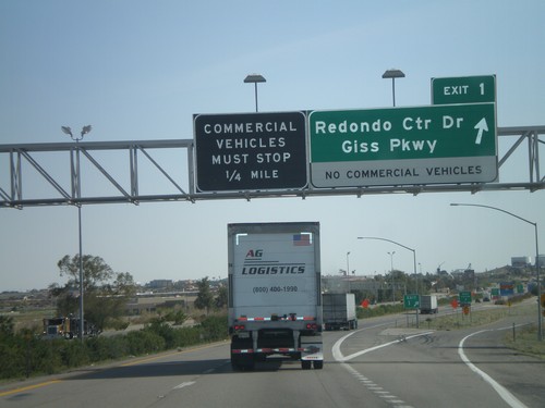
I-8 East - Exit 1

I-8 East - Exit 1

I-8 east at Exit 1 - Redondo Center Drive/Giss Parkway. This is the first Arizona exit along I-8. Approaching the Arizona Port of Entry.
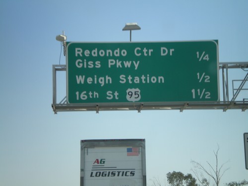
I-8 East - Yuma Exits

I-8 East - Yuma Exits

Upcoming exits on I-8 east in Yuma - Redondo Center Drive/Giss Parkway, Weigh Station, 16th St./US-95.
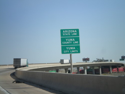
I-8 East - Arizona State Line

I-8 East - Arizona State Line

Arizona State Line, Yuma County Line, and Yuma City Limits on the Colorado River bridge at the Arizona-California State Line.
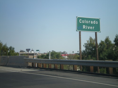
I-8 East - Colorado River

I-8 East - Colorado River

I-8 east at the Colorado River. The Colorado River marks the boundary between California and Arizona.
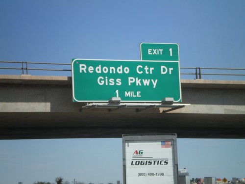
I-8 East - Arizona Exit 1

I-8 East - Arizona Exit 1

I-8 east approaching Arizona Exit 1 - Redondo Center Drive/Giss Parkway. This sign appears to have been placed by the Arizona DOT.
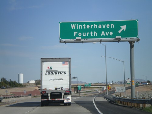
I-8 East - Exit 172

I-8 East - Exit 172

I-8 east at Exit 172 - Winterhaven/Fourth Ave. This is the last exit in California along I-8 east. Also crossing the California Wasteway.
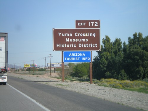
I-8 East Approaching Exit 172

I-8 East Approaching Exit 172

I-8 east approaching Exit 172. Use Exit 172 for Yuma Crossing, Museums, and Historic District. Also use Exit 172 for the Arizona Welcome Center. While Exit 172 is in California, it does provide access to the city of Yuma, Arizona. This sign appears to have been placed by the Arizona DOT.
I-8 East Approaching Exit 172

I-8 East Approaching Exit 172

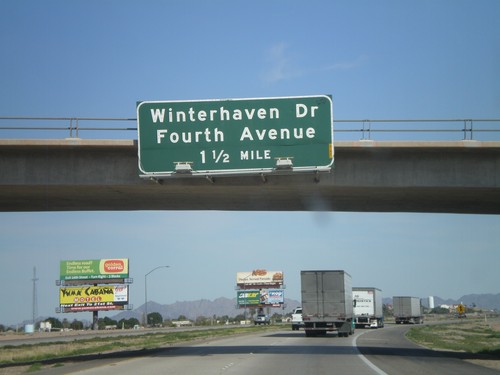
I-8 east approaching Exit 172 - Winterhaven Drive/Fourth Ave.

I-8 East - Exit 170

I-8 East - Exit 170

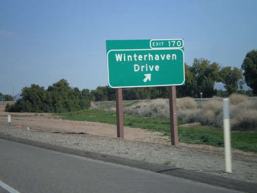
I-8 east at Exit 170 - Winterhaven Drive

I-8 East - Exit 166

I-8 East - Exit 166

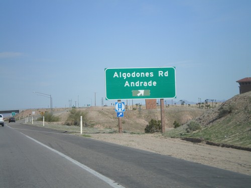
I-8 east at Exit 166 - Algodones Road/Andrade. Algodones Road is signed as CA-186, but is not marked on this sign. CA-186 is a short spur that connects I-8 with the Algodones Port of Entry with Mexico.
I-8 East Approaching Exit 166

I-8 East Approaching Exit 166

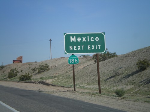
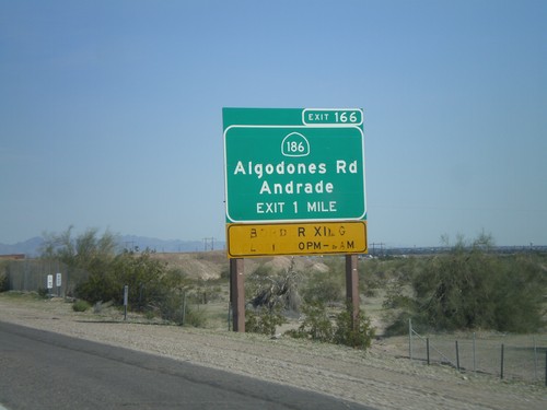
I-8 east approaching Exit 166. Use Exit 166 for CA-186 to Mexico.

I-8 East Approaching Exit 166

I-8 East Approaching Exit 166

I-8 east approaching Exit 166 - CA-186/Algodones Road/Andrade. Use CA-186 south for access to the Algodones Port of Entry with Mexico. The Port of Entry is closed from 10 PM to 6 AM.
I-8 East - Exit 164

I-8 East - Exit 164

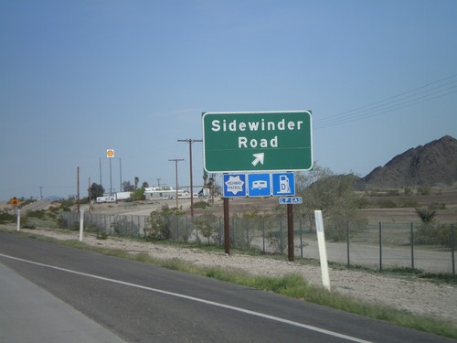
I-8 east at Exit 164 - Sidewinder Road.

I-8 East - Exit 159

I-8 East - Exit 159

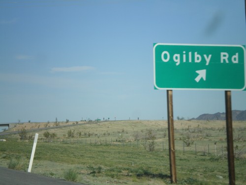
I-8 east at Exit 159 - Ogilby Road.

I-8 East Approaching Exit 159

I-8 East Approaching Exit 159

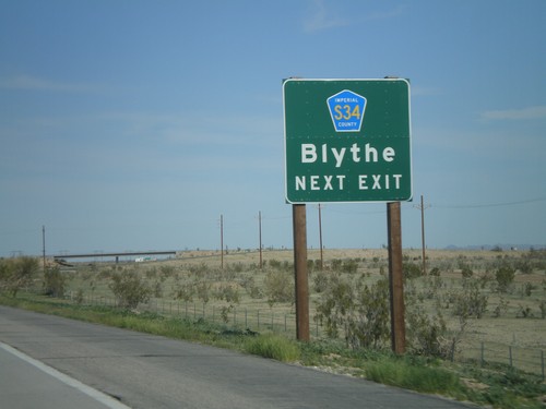
I-8 east approaching Exit 159 - Imperial County S-34 to Blythe.

I-8 East - Exit 151

I-8 East - Exit 151

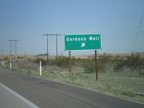
I-8 east at Exit 151 - Gordons Well

I-8 East - Exit 143

I-8 East - Exit 143

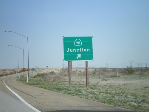
I-8 east at Exit 143 - CA-98 Junction

I-8 East - Exit 131

I-8 East - Exit 131

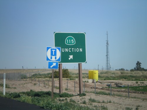
I-8 east at Exit 131 - CA-115 Junction

I-8 East - Exit 128

I-8 East - Exit 128

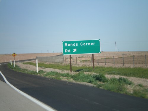
I-8 east at Exit 128 - Bonds Corner Road

I-8 East - Exit 125

I-8 East - Exit 125

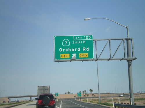
I-8 east at Exit 125 - CA-7 South/Orchard Road

I-8 East Approaching CA-7 - Port of Entry Hours

I-8 East Approaching CA-7 - Port of Entry Hours

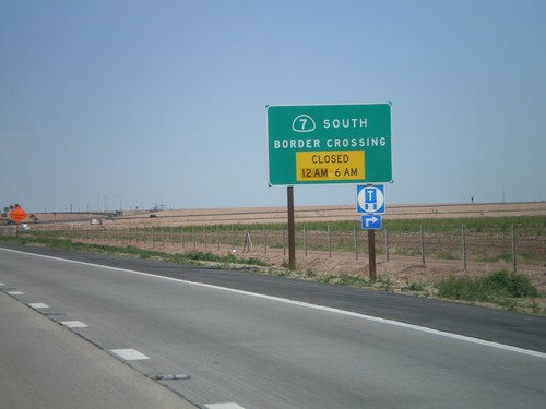
I-8 east approaching CA-7 - Border Crossing Hours. Port of Entry Closed from 12AM to 6AM.
I-8 East - Distance Marker

I-8 East - Distance Marker

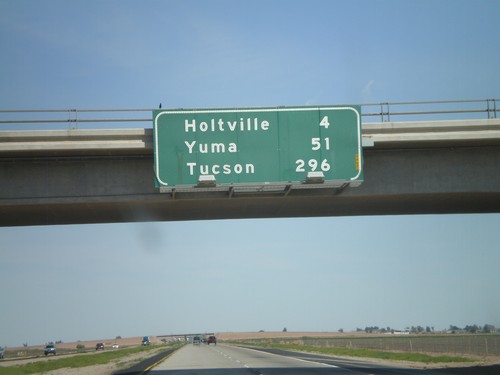
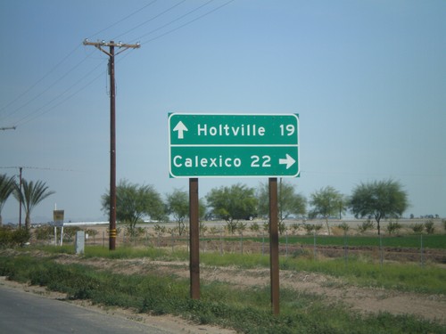
Distance marker on I-8 east. Distances to Holtville, Yuma, and Tucson.

I-8 East - Exit 120

I-8 East - Exit 120

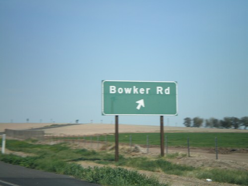
I-8 east at Exit 120 - Bowker Road

CA-78 East/CA-111 South at Split

CA-78 East/CA-111 South at Split

CA-78 East/CA-111 South at Split. Use CA-111 south for Calexico. Use CA-78 east for Holtville.
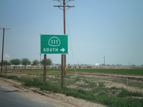
CA-78 East/CA-111 South Approaching Split

CA-78 East/CA-111 South Approaching Split

CA-78 East/CA-111 South approaching split. Turn right for CA-111 south.
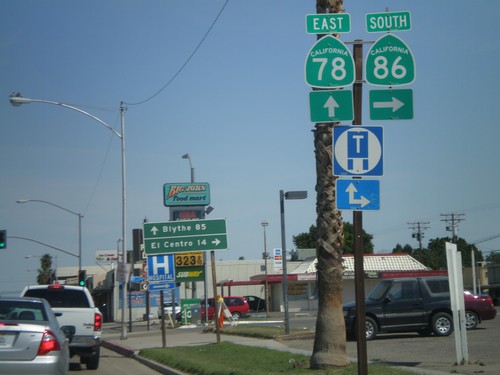
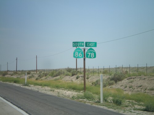
CA-78 East/CA-86 South at Split

CA-78 East/CA-86 South at Split

CA-78 East/CA-86 South at Split. Turn right for CA-86 south to El Centro. Continue east on CA-78 for Blythe.
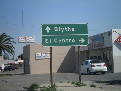
CA-78 East/CA-86 South Approaching Split

CA-78 East/CA-86 South Approaching Split

CA-78 East/CA-86 South approaching CA-78/CA-86 split. Use CA-78 east for Blythe. Use CA-86 south for El Centro.
CA-78 East/CA-86 South

CA-78 East/CA-86 South

CA-78 East/CA-86 South

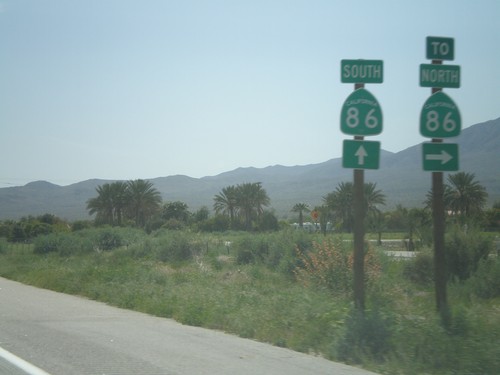
End CA-86S South at CA-86

End CA-86S South at CA-86

End CA-86S South at CA-86. Turn right for CA-86 north. Continue ahead for CA-86 south.
CA-86S Approaching CA-111

CA-86S Approaching CA-111

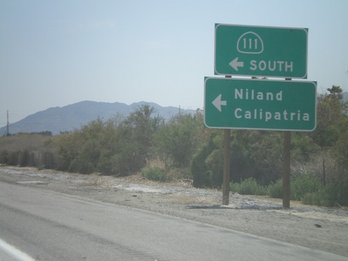
CA-86S approaching CA-111 South to Niland and Calipatria.

CA-86S South Approaching CA-195 To CA-111

CA-86S South Approaching CA-195 To CA-111

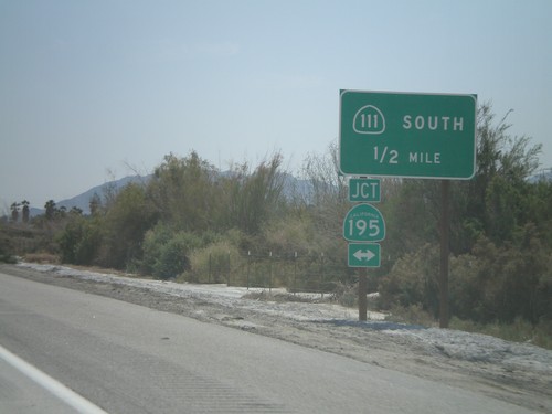
CA-86S South approaching CA-195 to CA-111 South.

CA-86S South at Dillon Road Exit

CA-86S South at Dillon Road Exit

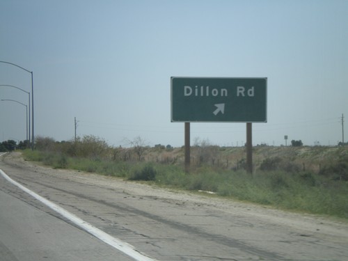
CA-86S South at the Dillon Road exit.