Signs From April 2010
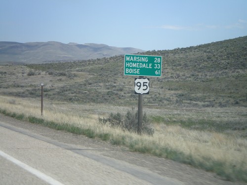
US-95 North - Distance Marker
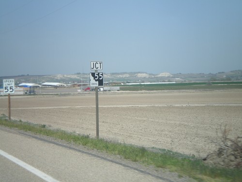
First distance marker on US-95 north in Idaho. Distance to Marsing, Homedale, and Boise (not on US-95).
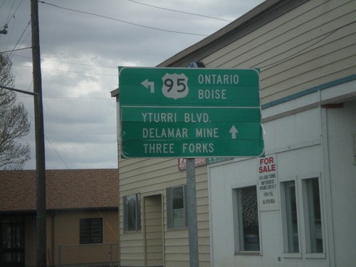
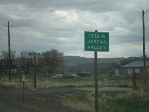
US-95 North - Jordan Valley
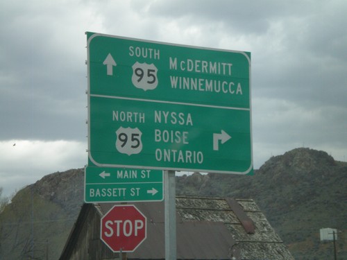
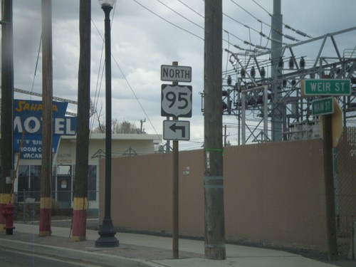
US-95 north (Main St.) at Bassett St. Turn north to continue on US-95 north to Ontario and Boise.
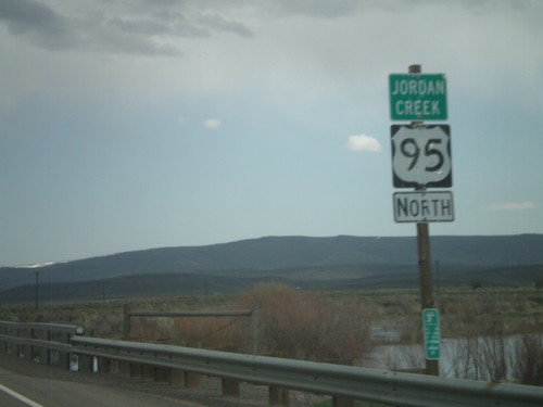
US-95 North - Jordan Creek
US-95 north crossing Jordan Creek. Jordan Creek is overflowing in this picture from spring runoff.
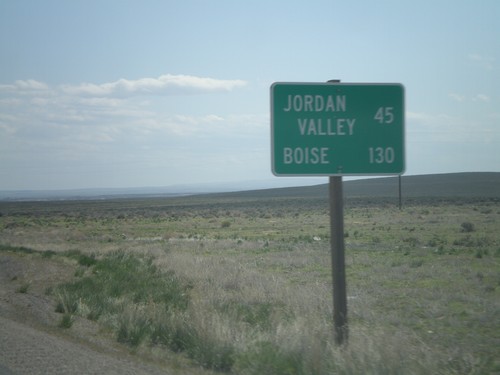
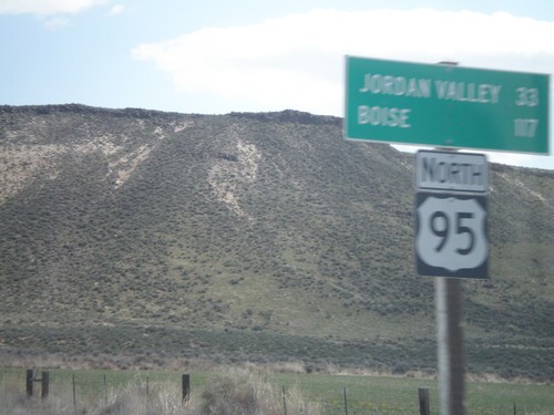
US-95 North - Distance Marker
Distance marker on US-95 north, north of Burns Jct. Distance to Jordan Valley and Boise.
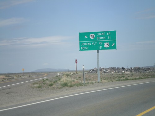
US-95 North at OR-78
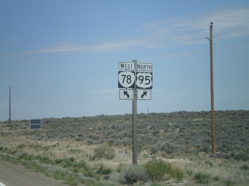
US-95 north at OR-78 west. Merge left for OR-78 to Burns and Crane. Merge right for US-95 to Jordan Valley and Boise.
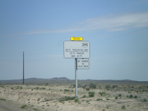
US-95 North Approaching OR-78
US-95 north approaching OR-78. Weight restrictions on US-395 northbound traffic between Mt Vernon and Pilot Rock. OR-78 is the only connecting highway into central Oregon from US-95, and connects to US-20 and US-395 in Burns.
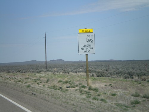
US-95 North Approaching OR-78 - Length Restrictions
US-95 north approaching OR-78. Length restrictions on US-395 north traffic ahead. OR-78 is the only road that connects US-95 with the rest of Oregon. OR-78 connects US-95 with US-20/US-395 in Burns.
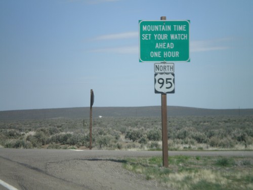
US-95 North - Mountain Time Zone
Entering Mountain Time Zone on US-95 north. US-95 passes in and out of Mountain Time for its duration. The highway enters Pacific Time again just north of Riggins, Idaho.
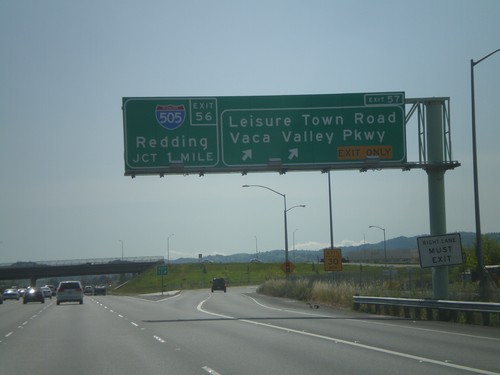
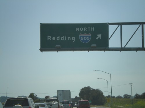
I-80 West - Exit 57 Approaching Exit 56
I-80 west at Exit 57 - Leisure Town Road/Vaca Valley Parkway. Approaching Exit 56 - I-505 North/Redding.
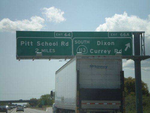
I-80 West/CA-113 South - Exit 66A
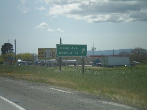
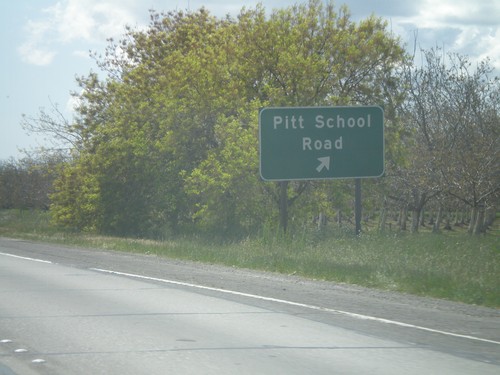
I-80 west/CA-113 south at Exit 66A - CA-113 South/Dixon/Currey Road. I-80 and CA-113 split separate here. I-80 west approaches Exit 64 - Pitt School Road.
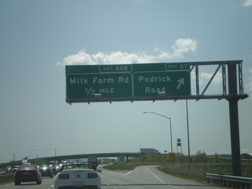
I-80 West/CA-113 South - Exit 67 Approaching Exit 66B
I-80 west/CA-113 south at Exit 67 - Pedrick Road. Approaching Exit 66B - Milk Farm Road.
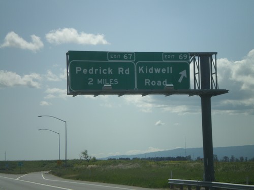
I-80 West/CA-113 South - Exit 69 Approaching Exit 67
I-80 West/CA-113 South at Exit 69 - Kidwell Road. Approaching Exit 67 - Pedrick Road.
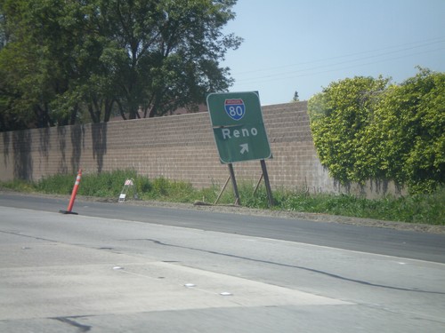
End US-50/BL-80 West at I-80
End US-50/BL-80 west at I-80 to Reno. Roadway turns into I-80 westbound.
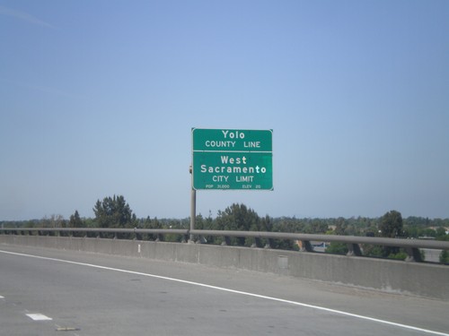
US-50/BL-80 West - Yolo-Sacramento County Line
US-50/BL-80 west at the Yolo-Sacramento County Line at the Sacramento River. Also entering the city of West Sacramento.
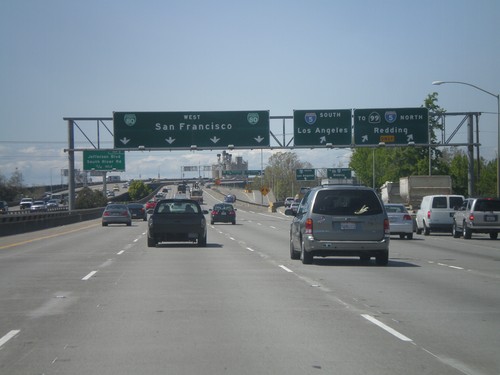
US-50/BL-80 West/CA-99 North - Exit 4A
US-50 West/BL-80 West/CA-99 north at Exit 4A - I-5 South/Los Angeles. I-5 North/To CA-99/Redding. CA-99 is marked as To CA-99 while is joins I-5 through Sacramento. Continue west on BL-80 (and US-50) to San Francisco.
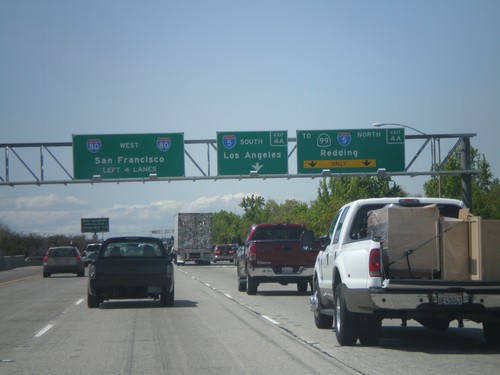
BL-80/US-50 West/CA-99 North Approaching Exit 4A
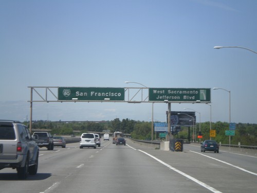
US-50/BL-80 West/CA-99 north approaching Exit 4A - I-5 South/Los Angeles and I-5 North/To CA-99/Redding. Continue west on BL-80/US-50 for I-80 to San Francisco.
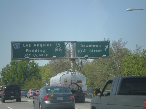
US-50/BL-80 West/CA-99 North at Exit 4B
US-50/BL-80 West/CA-99 North at Exit 4B - Downtown/10th St. Approaching Exit 4A - I-5/CA-99 North/Los Angeles/Redding.
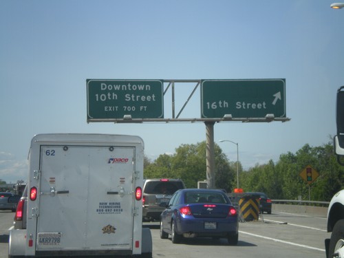
US-50/BL-80 West - Exit 5
US-50/BL-80 West at Exit 5 - 16th St. Approaching Exit 4B - Downtown/10th St.
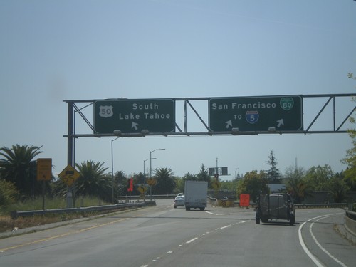
BL-80 West at US-50 on Exit 6A Ramp
BL-80 west at US-50 on Exit 6A ramp. Merge left for US-50 east towards South Lake Tahoe. Merge right for BL-80 towards I-5 and San Francisco.
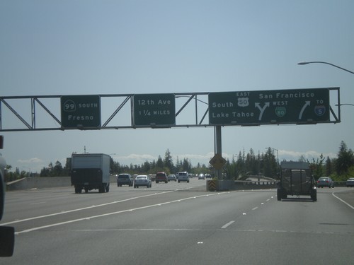
BL-80 West at US-50 and CA-99
BL-80 west at Exits 6A and 6B. Exit 6A is BL-80 West/US-50/To I-5/South Lake Tahoe/San Francisco. Exit 6B is CA-99 South/Fresno.
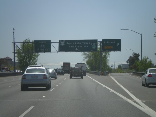
BL-80 West at Exit 6C - Approaching Exit 6A and 6B
BL-80 west at Exit 6C - P St. Approaching Exits 6A - US-50 East/BL-80 West and Exit 6B - CA-99 South.
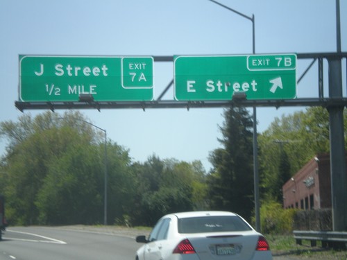
BL-80 West at Exit 7B - Approaching Exit 7A
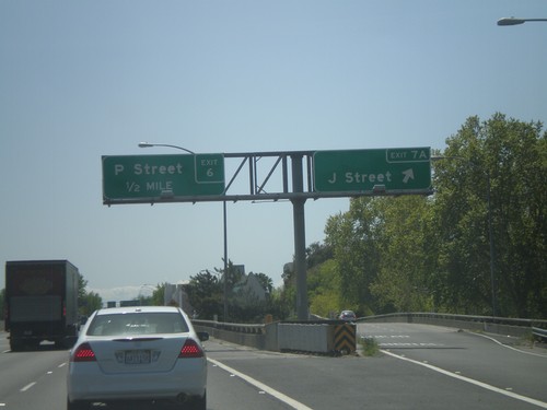
BL-80 west at Exit 7B - E St. Approaching Exit 7A - J St.
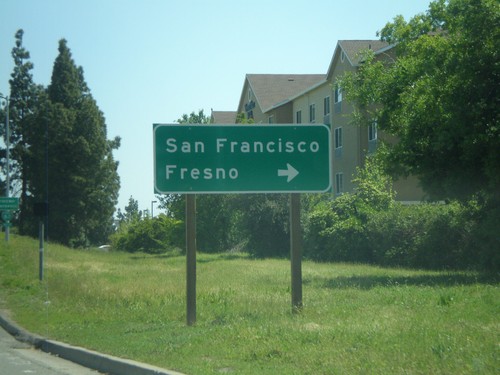
Exposition Blvd. west at BL-80
Exposition Blvd. west approaching BL-80 west onramp to Fresno and San Francisco.
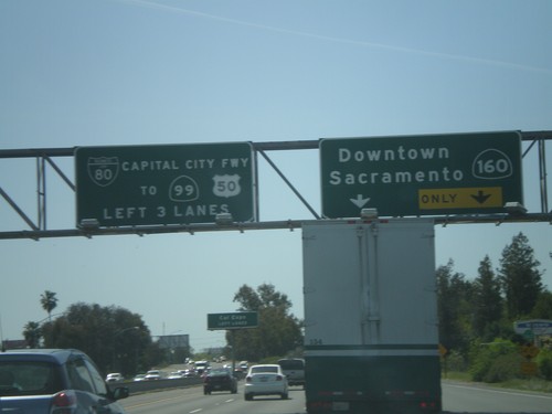
BL-80 West - Exit 9B
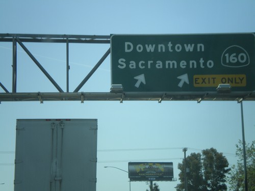
BL-80 west at Exit 9B - CA-160/Downtown Sacramento. Use left lanes for BL-80/CA-99/US-50.
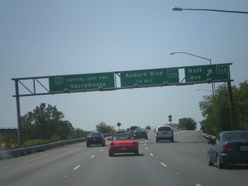
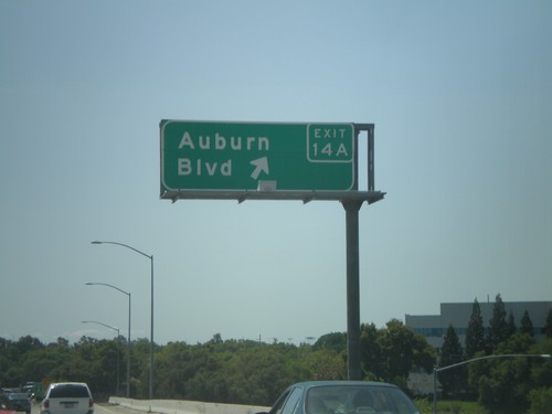
BL-80 West - Exit 14B and Exit 14A
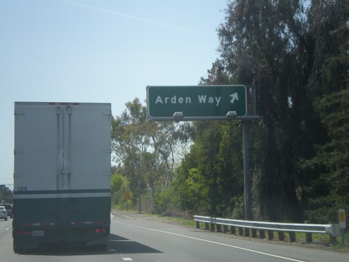
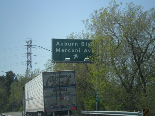
BL-80 west at Exit 14B - Watt Ave. Approaching Exit 14A - Auburn Blvd. This is the first exit on BL-80 westbound after the I-80 split. BL-80 continues west towards Sacramento as the Capitol City Freeway.
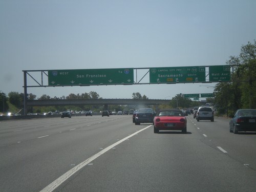
I-80 West at Business Loop I-80
I-80 west at Exit 95 - BL-80/Capitol City Freeway/To CA-99/Sacramento. Also the first exit on BL-80 west, Exit 14B - Watt Ave. is signed. Continue west on I-80 for I-5 and San Francisco.
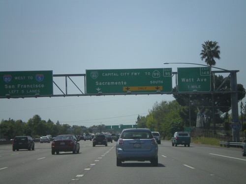
I-80 West Approaching Capitol City Fwy
I-80 west approaching Exit 95 - BL-80/Capitol City Freeway/To CA-99 South/Sacramento. The first exit on BL-80 west is also signed, Exit 14 - Watt Ave. Continue on I-80 west for I-5 and San Francisco.
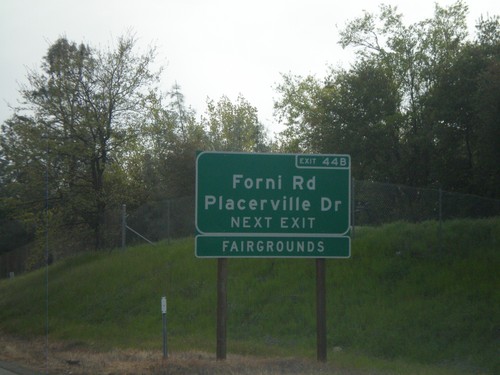
US-50 West Approaching Exit 44B
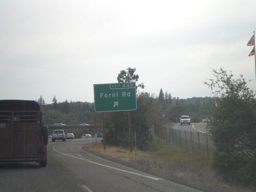
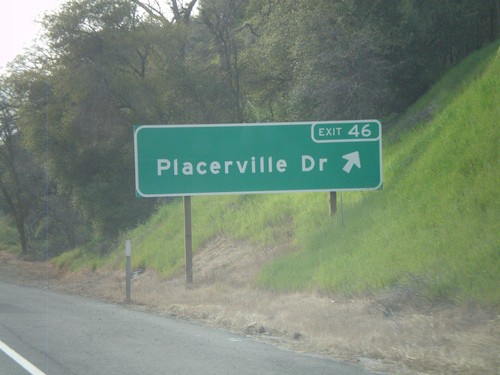
US-50 west approaching Exit 44B - Forni Road/Placerville Drive. Use Exit 44B for the El Dorado County Fairgrounds.
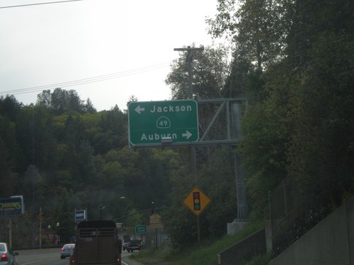
US-50 West at CA-49
US-50 west at CA-49. Use CA-49 north for Auburn; south for Jackson. US-50 through downtown Placerville is a surface street.
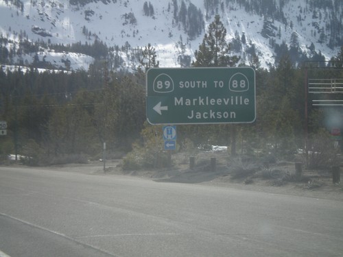
US-50 West/CA-89 South at CA-89 South
US-50 West/CA-89 south at US-50/CA-89 split. Use CA-89 south for CA-88/Markleeville/Jackson
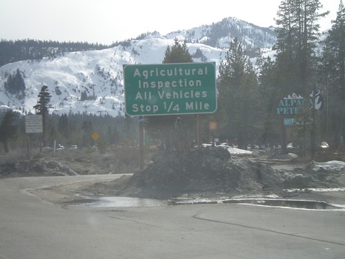
US-50 West/CA-89 South at Inspection Station
US-50 west/CA-89 south approaching the California State Agricultural Inspection Station.
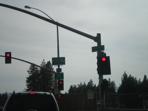
US-50 West - Welcome To California
Welcome to California on US-50 west at the California-Nevada state line. Entering South Lake Tahoe.
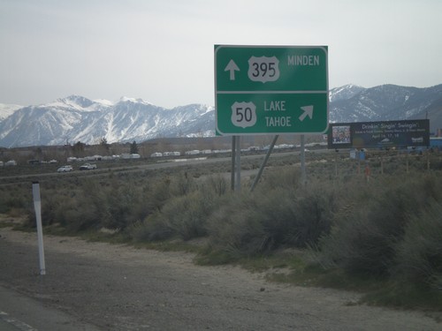
US-395 South/US-50 West at US-50 West
US-395 South/US-50 west at US-50/US-395 split. US-50 turns west towards Lake Tahoe, and Spooner Summit. US-395 continues south to Minden.
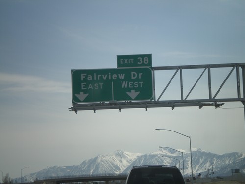
US-395 South/US-50 West - Exit 38
US-395 South/US-50 west at Exit 38 - Fairview Drive. This is the current southern end of the Carson City Bypass. Traffic is temporarily routed onto Fairview Drive west to the former route of US-395.
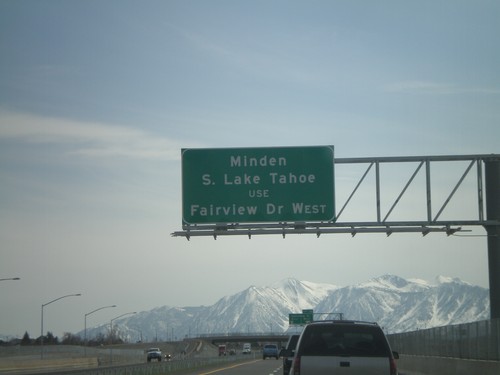
US-395 South/US-50 West Approaching Exit 38
US-395 South/US-50 west approaching Exit 38 - Fairview Drive. The Carson City Bypass currently ends here, so all Minden and South Lake Tahoe bound traffic must exit here.
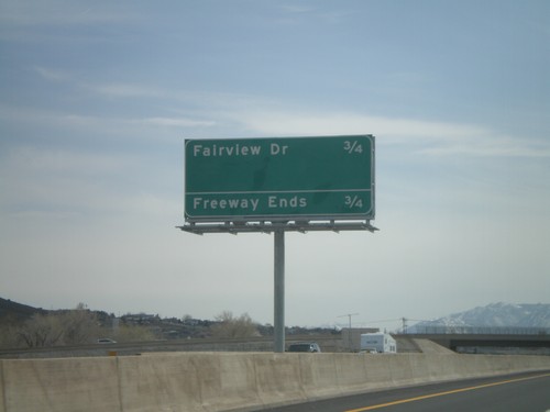
US-395 South/US-50 West - Distance Marker
Distance marker on US-395 South/US-50 west along the Carson City Bypass. Distance to Fairview Drive, which is the current end of the Carson City Bypass.
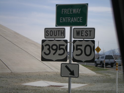
US-50 West at US-395/US-50 Onramp
US-50 West at US-395 South/US-50 West onramp for the Carson City Bypass.
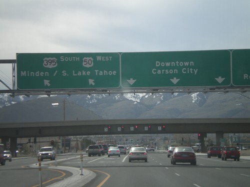
US-50 West Approaching US-395
US-50 west approaching US-395. Use US-395 north for Reno. US-50 west joins US-395 south for Minden and South Lake Tahoe (CA). Continue on William St. for Downtown Carson City.
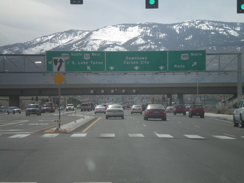
US-50 West Approaching US-395
US-50 west approaching US-395. Use US-395 north for Reno. US-50 west joins US-395 south for Minden and South Lake Tahoe (CA). Continue on William St. for Downtown Carson City.
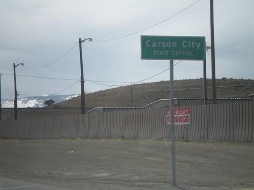
US-50 West - Entering Carson City
US-50 west at the Lyon County - Carson City line. When entering all other counties in Nevada, the county name is above the words County Line. In Carson City, the County Line is replaced with State Capitol.
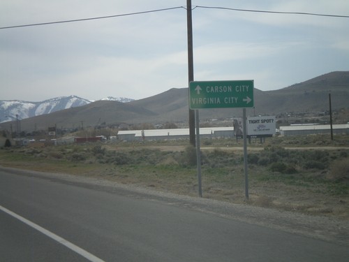
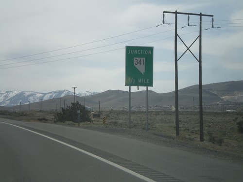
US-50 West Approaching NV-341
US-50 west approaching NV-341 north to Virginia City. Continue west on US-50 for Carson City.
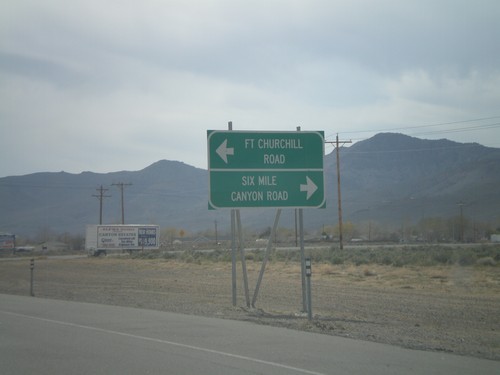
US-50 West - Six Mile Canyon Road
US-50 west approaching Six Mile Canyon Road and Fort Churchill Road.
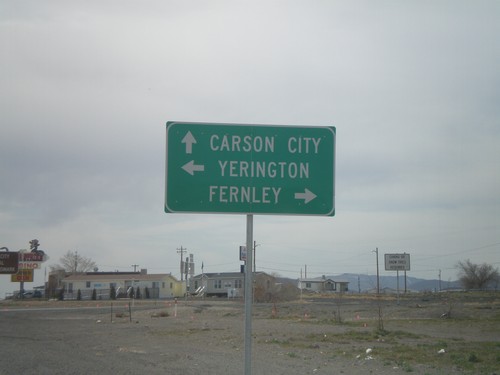
US-50 West at Alt. US-50 and Alt.US-95
US-50 west at Alt US-50/Alt US-95 junction in Silver Springs. Use Alt. US-50 East/Alt. US-95 North for Fernley. Use Alt. US-95 South for Yerington. Continue on US-50 west for Carson City.
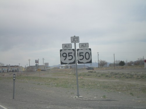
US-50 West Approaching Alt. US-50 and Alt. US-95
US-50 west at Alt US-50/Alt US-95 junction in Silver Springs.
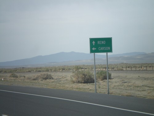
US-50 West at Alt. US-50 West
US-50 west at Alt. US-50 west. Use US-50 west for Carson (City). Continue ahead for Alt. US-50 west to Reno.
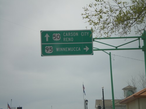
US-50 West at US-95 North
US-50 west at US-95 north to Winnemucca. Continue on US-50 west for Carson City and Reno.
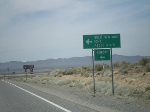
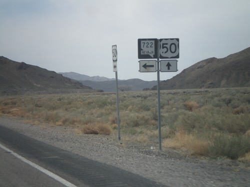
US-50 West Approaching NV-722
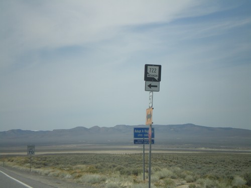
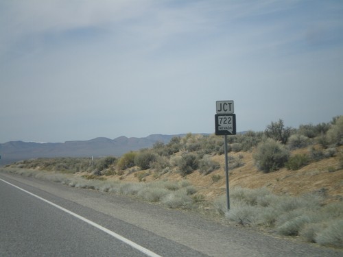
US-50 west approaching NV-722 west to Ione, Reese River, Gold Venture, and the Austin Airport.
