Signs From May 2010
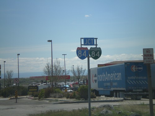
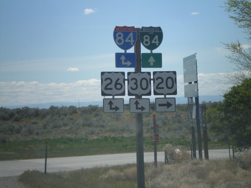
US-20 West Approaching I-84
US-20 West approaching I-84 and BL-84. BL-84 was recently shortened, and rerouted to end at Exit 95 instead of Exit 99. This is now the western end of BL-84 in Mountain Home.
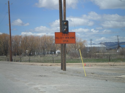
US-20 East - Road Closure Status
Road closure status between Hill City and Mountain Home on US-20 west, leaving Fairfield.
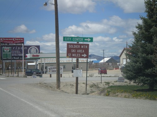
US-20 East - Fairfield City Center
US-20 east at the Fairfield City Center. Turn north for Soldier Mountain Ski Area.
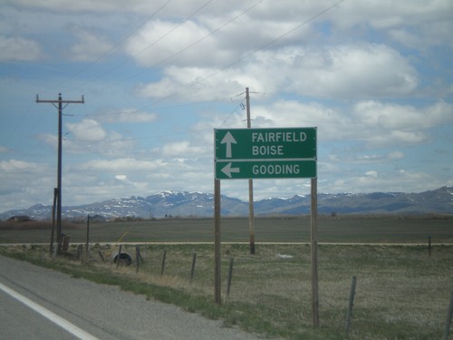
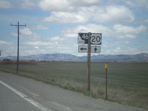
US-20 West Approaching ID-46 South
US-20 west approaching ID-46 south to Gooding. Continue west on US-20 for Fairfield and Boise.
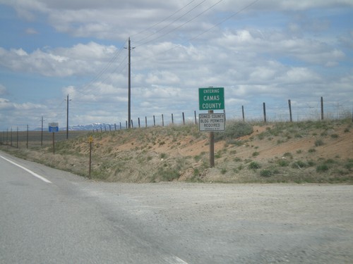
US-20 West - Entering Camas County
Entering Camas County on US-20 west at the Blaine-Camas County Line.
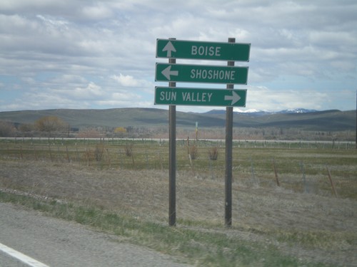
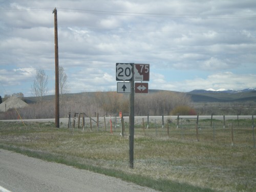
US-20 West Approaching ID-75
US-20 west approaching ID-75 north to Sun Valley, and south to Shoshone. Continue west on US-20 for Boise.
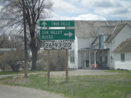
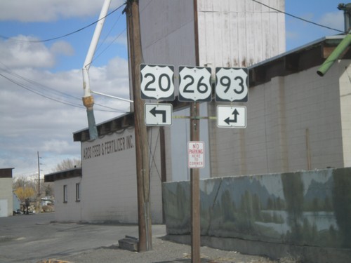
US-20/US-26 West/US-93 South Jct.
US-20/US-26 West/US-93 South at split in Carey. Use US-20 west for Sun Valley and Boise. Use US-26 West/US-93 South for Twin Falls.
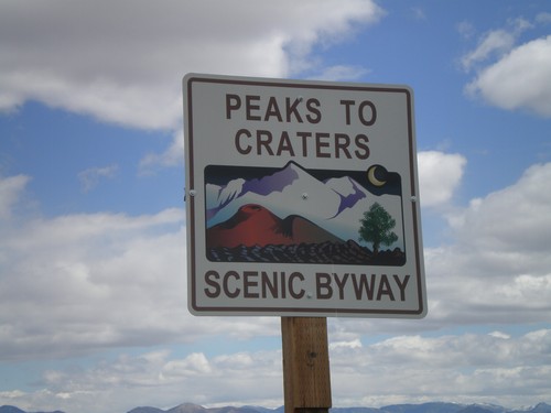
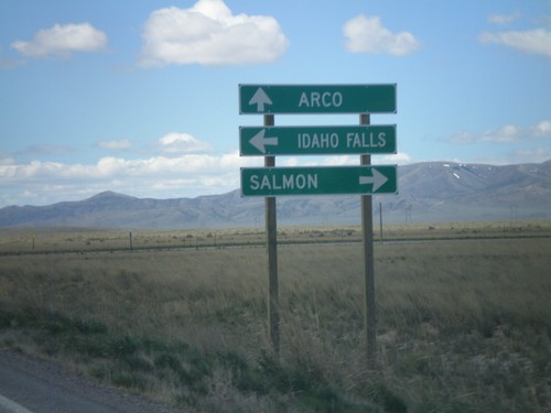
US-20/US-93/US-26 West - Peaks to Craters
Peaks to Craters Scenic Byway on US-20/US-26 West/US-93 South between Arco and Craters of the Moon. Peaks to Craters Scenic Byway is one of the newest Idaho scenic byways, created in 2010. It runs from Challis to just south of Sun Valley.
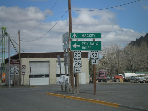
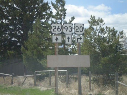
US-20/US-26 West at US-93
US-20/US-26 west at US-93. Use US-93 north for Mackay. Use US-20/US-26 west/US-93 south for Twin Falls and Boise.
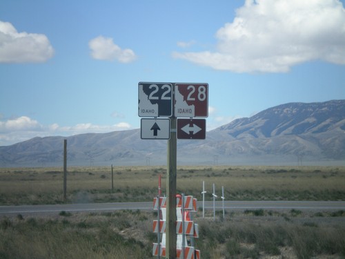
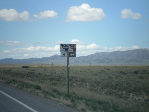
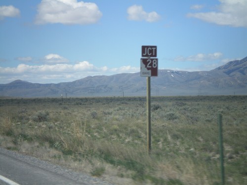
ID-22 West at ID-28
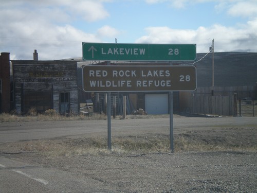
ID-22 west at ID-28. ID-28 has a brown shield because it is part of the Sacajawea Historic Byway.
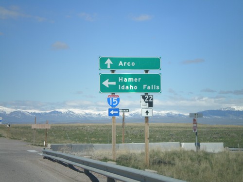
ID-22 West at I-15 South Onramp
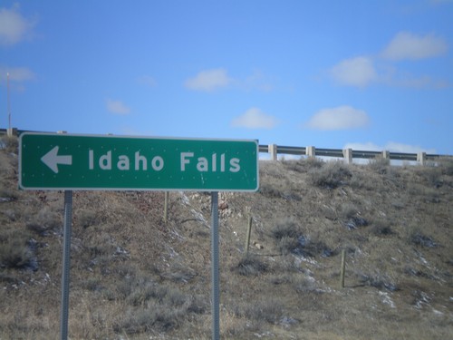
ID-22 west at I-15 south Exit 167 onramp to Hamer and Idaho Falls. Continue west on ID-22 for Arco.
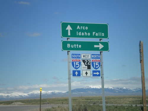
Begin ID-22 West at I-15
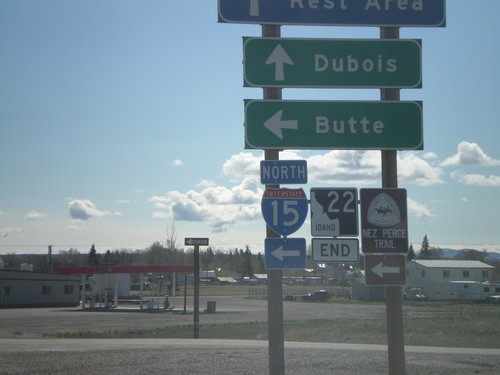
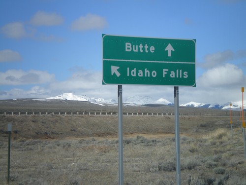
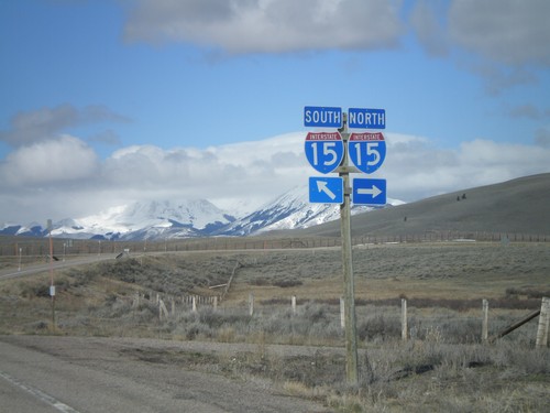
Begin ID-22 west at I-15 north to Butte. ID-22 continues west towards Arco. Use I-15 south for Idaho Falls.
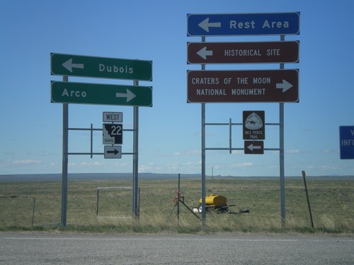
I-15 Exit 167 Offramp at ID-22
I-15 south at ID-22. Use ID-22 west for Arco, and Craters of the Moon National Monument.
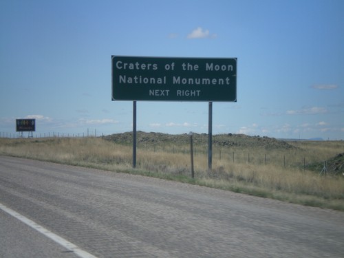
I-15 South Approaching Exit 167
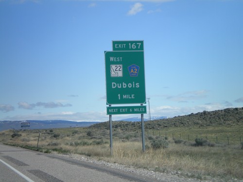
I-15 south approaching Exit 167. Use Exit 167 for Craters of the Moon National Monument.
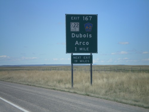
I-15 South - Exit 167
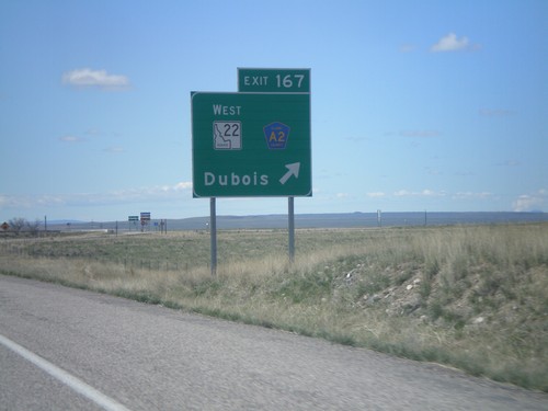
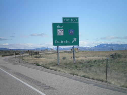
I-15 South approaching Exit 167 - ID-22/Clark County A2/Dubois/Arco. The actual sign at the exit omits Arco from the destination.
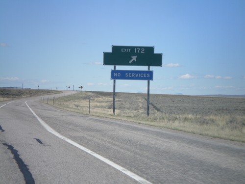
I-15 South - Exit 172
I-15 south at Exit 172. Exit 172 was formerly signed as US Sheep Experiment Station
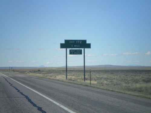
I-15 South - Exit 172
I-15 south approaching Exit 172. Exit 172 does not have a destination, but it formerly had a destination to the US Sheep Experiment Station.
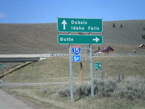
I-15 Exit 180 Onramp
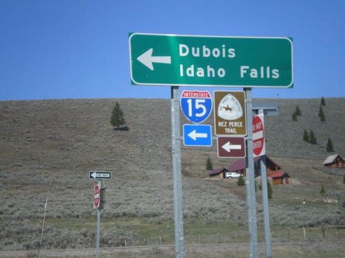
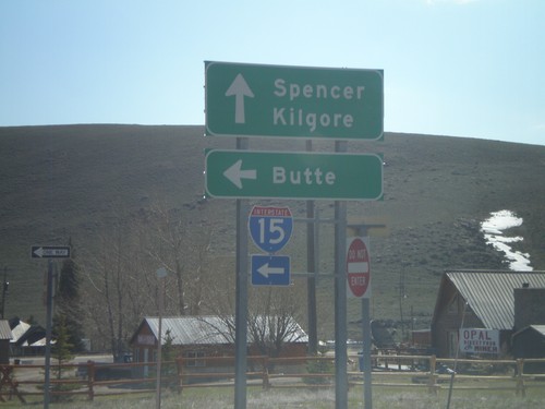
I-15 north onramp at Exit 180 to Butte. Use I-15 south for Dubois and Idaho Falls.
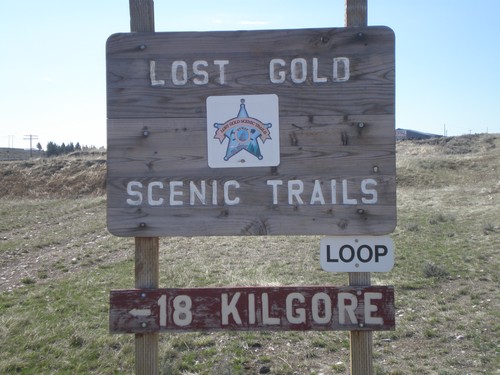
Lost Gold Scenic Trails Loop - Spencer
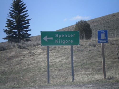
Lost Gold Scenic Trails Loop in Spencer on Idamon Road. Use Idamon Road for Kilgore.
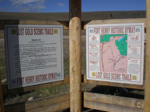
Lost Gold Scenic Trails and Fort Henry Historic Byway
Lost Gold Scenic Trails and Fort Henry Historic Byway information and map.
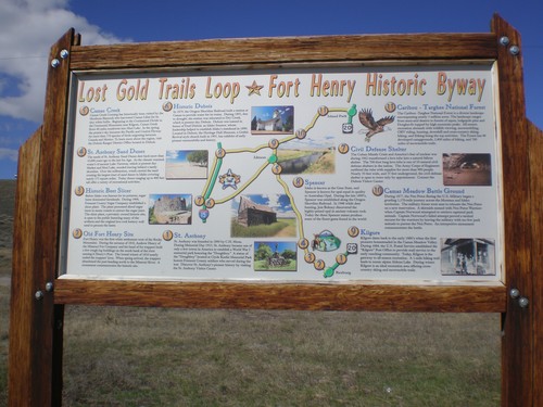
Lost Gold Trails Loop/Fort Henry Historic Byway
Lost Trails Loop and Fort Henry Historic Byway information in Spencer.
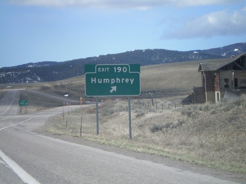
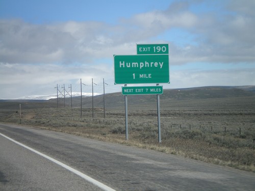
I-15 South - Exit 190
I-15 south at Exit 190 - Humphrey. This is the first exit inside Idaho on I-15 south.
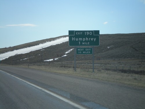
I-15 South - Exit 190
I-15 south approaching Exit 190 - Humphrey. This is the first exit on I-15 south in Idaho.
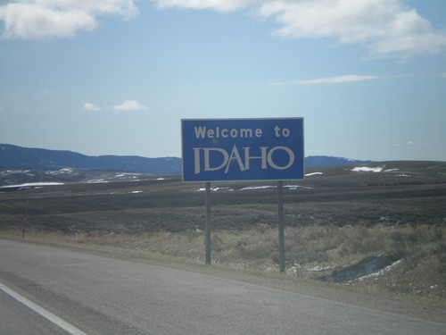
I-15 South - Welcome To Idaho
Welcome to Idaho on I-15 south at the Idaho-Montana stateline on Monida Pass.
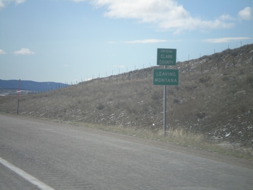
I-15 South - Entering Clark County
I-15 south Entering Clark Count and Leaving Montana. Taken on Monida Pass on the Continental Divide between Idaho and Montana.
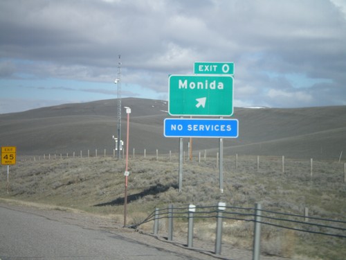
I-15 North - Exit 0
I-15 North at Exit 0 - Monida. Monida is the first exit on I-15 north in Montana.
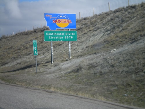
Welcome To Montana - I-15 North
Welcome to Montana on I-15 North at the Idaho-Montana state line on Monida Pass. Monida Pass is the Continental Divide.
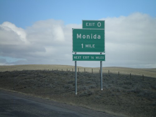
I-15 North - Exit 0 (Montana)
I-15 north approaching Montana Exit 0 - Monida. The signage is consistent with Idaho Transportation Department signs. The sign says next exit 16 miles, but the next exit is actually Exit 9, at Snowline. The next services are 16 miles in Lima.
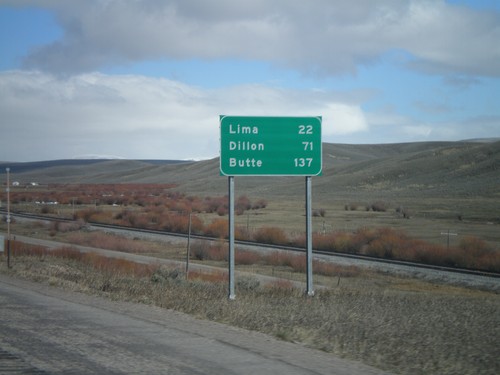
I-15 North - Distance Marker
Distance marker on I-15 north to Lima, Dillon, and Butte. All destinations are located within Montana. This is just north of Exit 190.
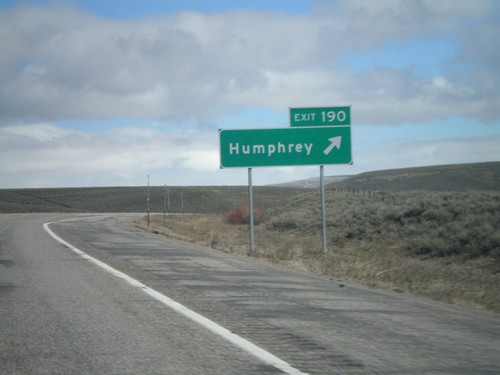
I-15 North - Exit 190
I-15 north at Exit 190 - Humphrey. This is the last exit in Idaho on I-15 north.
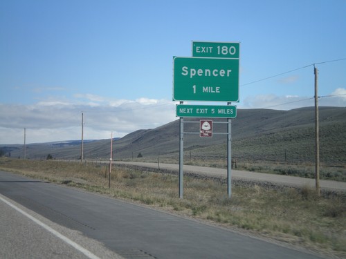
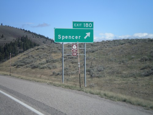
I-15 North - Exit 180
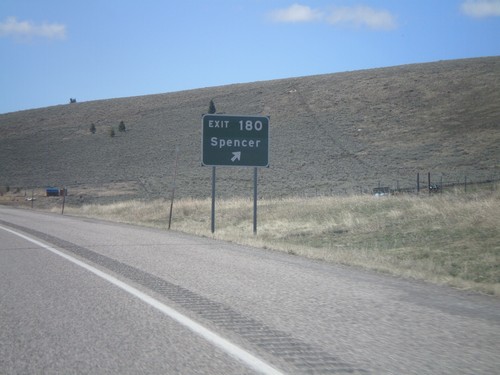
I-15 North Exit 180 - Spencer. Spencer is the last town on I-15 north in Idaho. Spencer lies at the base of Monida Pass. the Nez Perce Trail exits I-15 here as well.
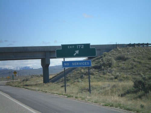
I-15 North - Exit 172
I-15 North at Exit 172. Exit 172 has no destinations, but formerly listed the US Sheep Experiment Station.
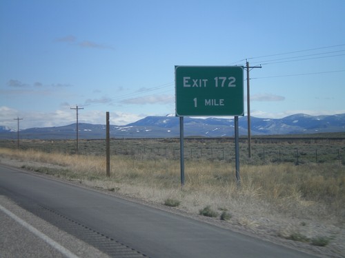
I-15 North - Exit 172
I-15 north approaching Exit 172. Exit 172 does not have a destination listed, but was formerly listed as US Sheep Experiment Station.
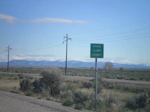
I-15 North - Entering Clark County
Entering Clark County on I-15 north at the Jefferson - Clark County line.
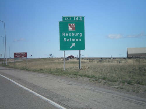
I-15 North - Exit 143
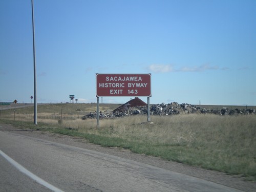
I-15 north at Exit 143 - ID-33/Rexburg/Salmon. This is the southern end of the Sacajawea Historic Byway.
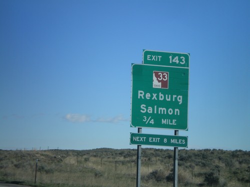
I-15 North - Exit 143
I-15 north approaching Exit 143 - ID-33/Rexburg/Salmon. This is the southern end of the Sacajawea Historic Byway.
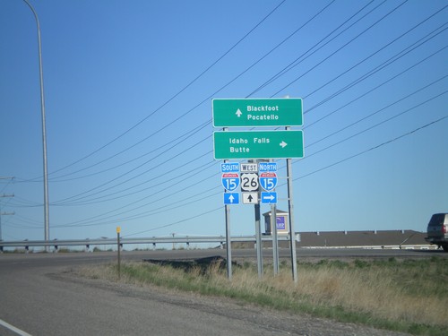
US-26 West/BL-15 South at I-15
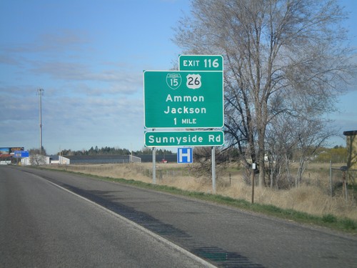
US-26 west/BL-15 south at I-15 Exit 116. Use I-15 north for Idaho Falls and Butte. Use I-15 South/US-26 West for Blackfoot and Pocatello.
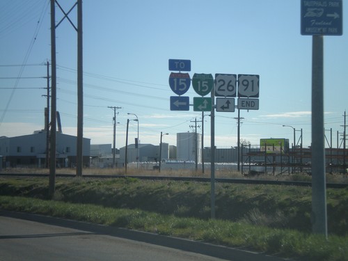
End US-91 North at US-26/BL-15
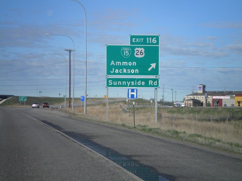
Northern end of US-91 north at US-26 and BL-15. US-91 was recently extended, when US-26 was rerouted to the new Exit 116 interchange on I-15.
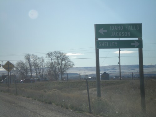
York Road West at US-91
York Road west at US-91. This is the former route of US-26, and the former end of US-91 north.
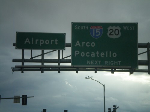
US-20 West at I-15 South
US-20 west at I-15 south to Arco and Pocatello. US-20 west joins I-15 south. Continue straight for the Idaho Falls Airport.
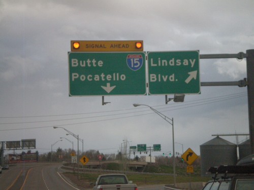
US-20 West - Lindsay Blvd
US-20 west at Lindsay Blvd (Exit 307). Approaching end of freeway at I-15 to Butte and Pocatello.
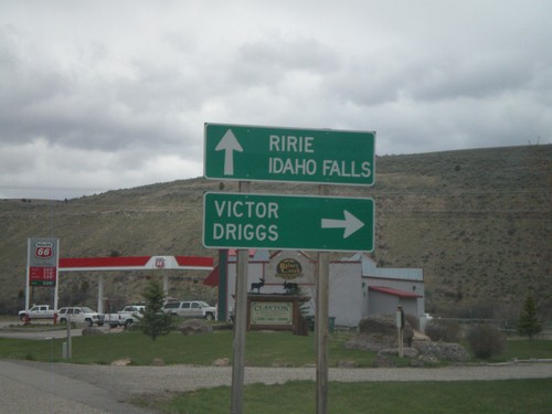
US-26 West at ID-31
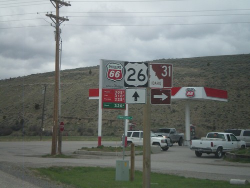
US-26 west at ID-31 north to Victor and Driggs. Continue west on US-26 for Ririe and Idaho Falls. This is the southern end of the Teton Scenic Byway.
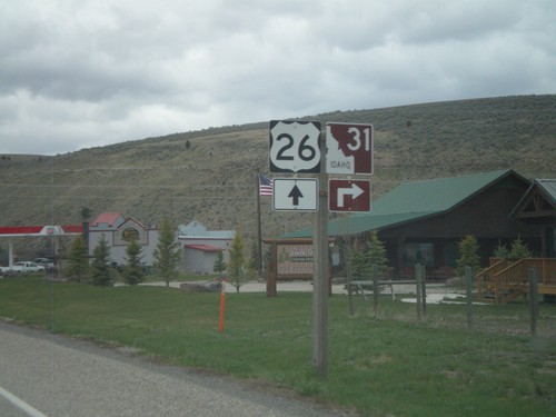
US-26 West Approaching ID-31
US-26 west approaching ID-31 in Swan Valley. This is the southern end of the Teton Scenic Byway.
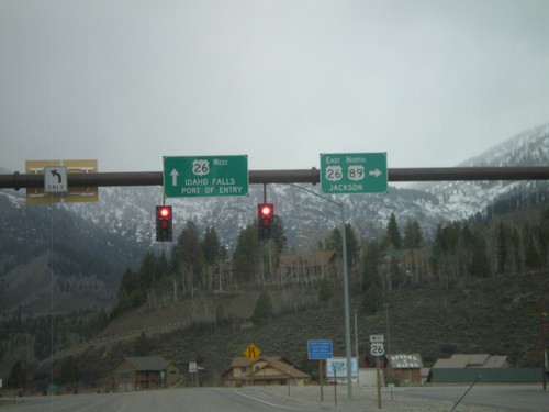
US-89 North at US-26
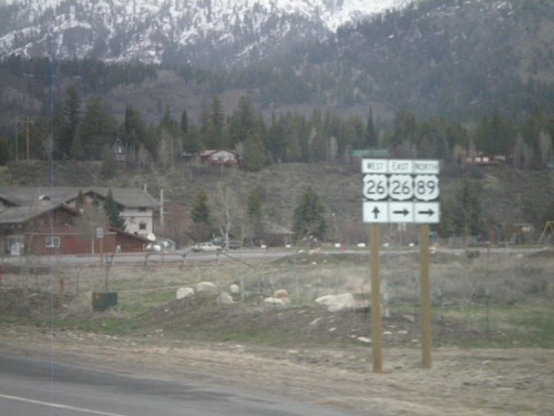
US-89 north at US-26. US-26 continues west to Idaho Falls and Port of Entry. US-89 North/US-26 East join north towards Jackson.
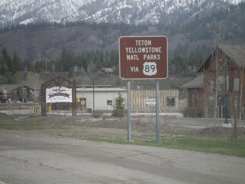
US-89 North - National Park Info
US-89 north approaching US-26. Use US-89 north for Yellowstone and Grand Teton National Parks.
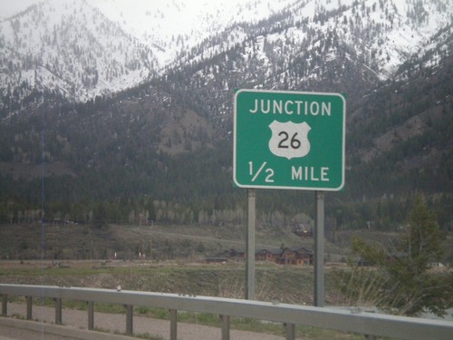
US-89 North Approaching US-26
US-89 north approaching US-26. US-26 and US-89 join north to Moran Jct. in Grand Teton National Park.
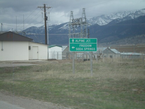
US-89 North at WY-239
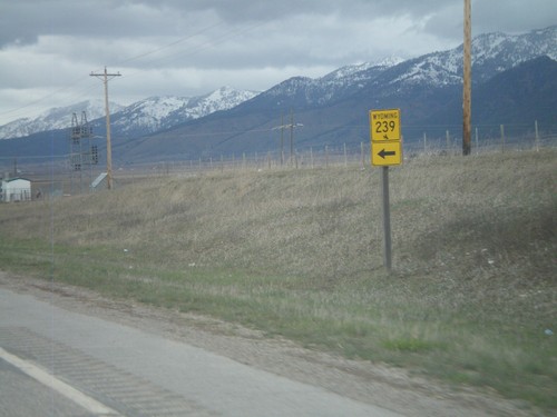
US-89 north at WY-239 west to Freedom and Soda Springs (Idaho). WY-239 connects with ID-34 at the state line, via Stateline Road.
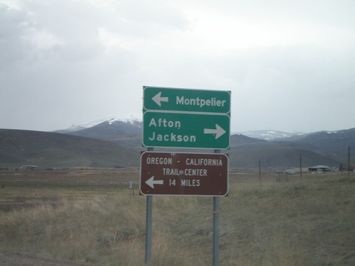
ID-61 North Approaching US-89
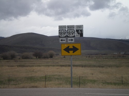
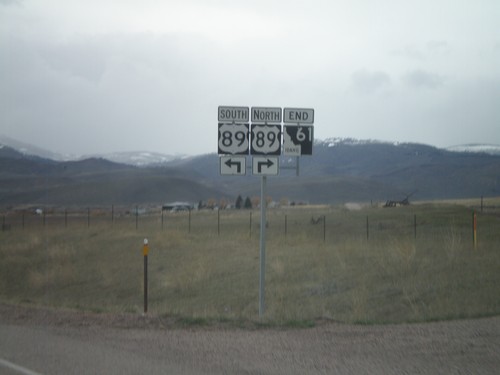
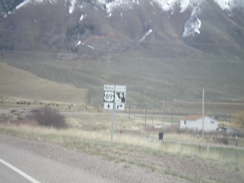
ID-61 north approaching US-89. Use US-89 north for Afton and Jackson (both in Wyoming). Use US-89 south for Montpelier. This type of direction sign is typically used at freeway ramps.
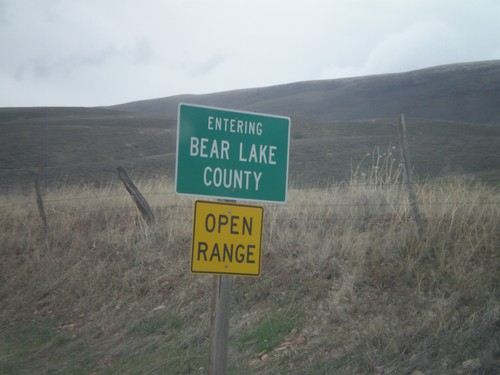
ID-61 North - Entering Bear Lake County
Entering Bear Lake County on ID-61 north at the Idaho-Wyoming state line.
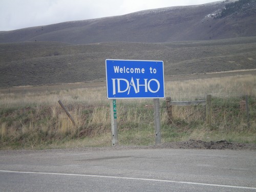
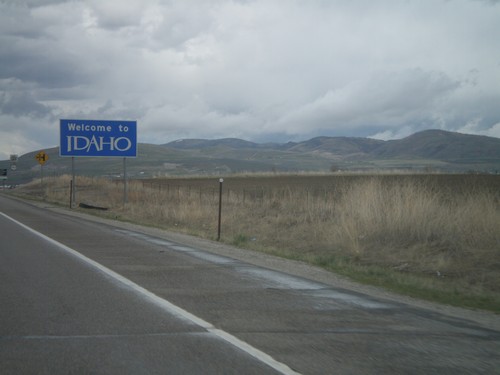
ID-61 North - Welcome To Idaho
Welcome to Idaho on ID-61 north. The Wyoming milemarker for WY-89 is attached to the sign.
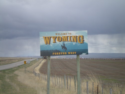
WY-89 South - Welcome To Wyoming
Welcome To Wyoming On WY-89 South. This is the new style of welcome sign in Wyoming. Taken on the Wyoming-Idaho border.
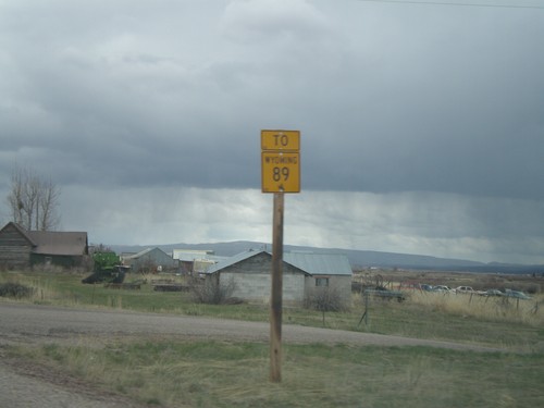
To WY-89 on ID-61 South
To WY-89 on ID-61 south. ID-61 becomes WY-89 at the Idaho-Wyoming State Line.
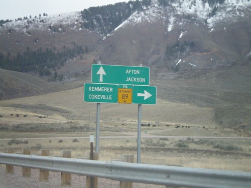
US-89 North Approaching ID-61
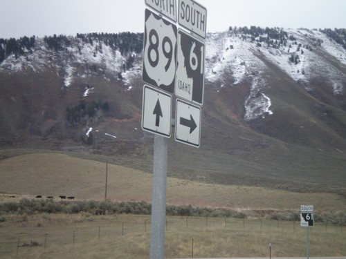
US-89 north approaching ID-61 (To WY-89). Use ID-61 south for WY-89, Cokeville, and Kemmerer. Continue north on US-89 for Afton and Jackson. All destinations are in Wyoming. The only instance that I have encountered where state highway shield from another state is posted in Idaho, is at this intersection.
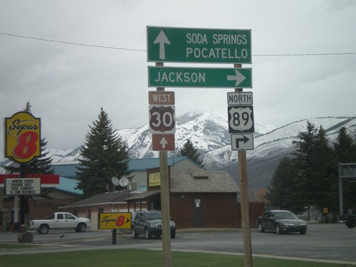
US-89 North/US-30 West at US-89 North
US-89 north/US-30 west at US-89 north to Jackson. Continue west on US-30 for Soda Springs and Pocatello.
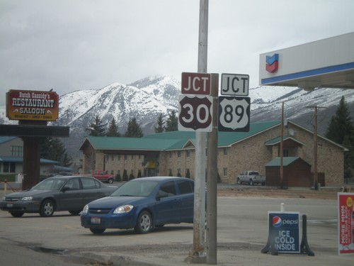
US-30 West/US-89 North Approaching US-89
US-30 West/US-89 North approaching US-89 north in Montpelier.
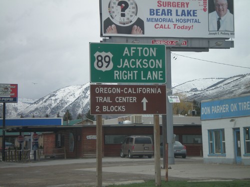
US-30/US-89 - Approaching US-89
US-30 West/US-89 North approaching US-89 north split. Use right lane for US-89 north to Afton and Jackson (both in Wyoming).
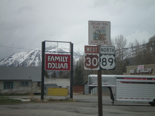
US-30/US-89 - Oregon Trail Bear Lake Scenic Byway
US-30 West/US-89 North - Oregon Trail Bear Lake Scenic Byway in Montpelier.
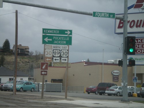
US-89 North at US-30
US-89 north at US-30 in Montpelier. Use US-30 east for Kemmerer (Wyoming), and US-30 west/US-89 north for Pocatello and Jackson (Wyoming). US-30 and US-89 north join briefly through Montpelier.
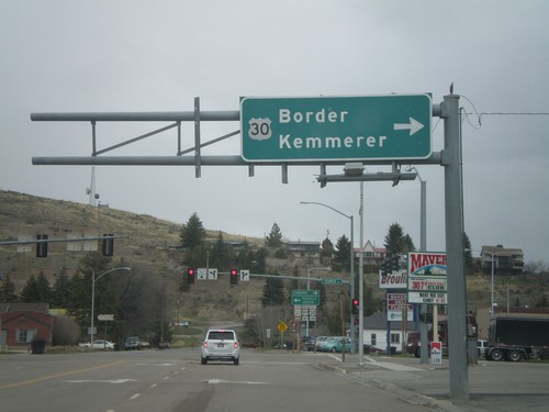
US-89 North at US-30
US-89 north at US-30 in Montpelier. Use US-30 East for Border and Kemmerer. The left half of this sign is missing.
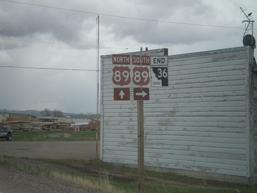
End ID-36 East at US-89
End ID-36 east at US-89. US-89 is part of the Oregon Trail - Bear Lake Scenic Byway
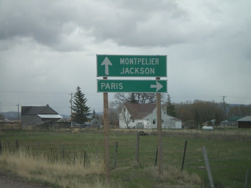
End ID-36 at US-89
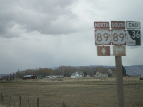
End ID-36 at US-89. Use US-89 south for Paris. US-89 north for Montpelier and Jackson.
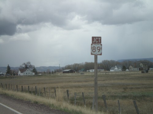
ID-36 East Approaching US-89
ID-36 east approaching US-89. US-89 is part of the Oregon Trail-Bear Lake Scenic Byway.
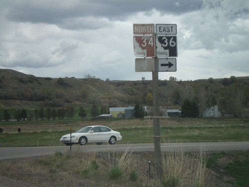
ID-34/ID-36 East at Split
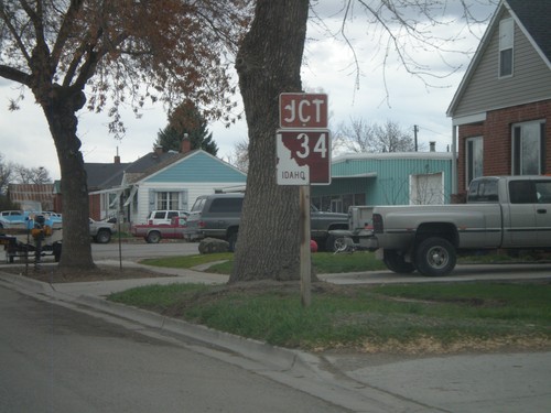
ID-34/ID-36 east at ID-34/ID-36 split. ID-34 is signed as the Pioneer Historic Byway.
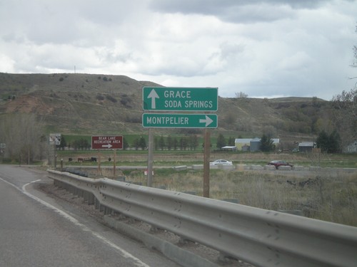
ID-34/ID-36 East Approaching Split
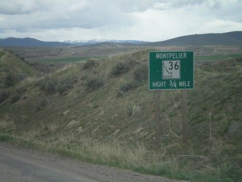
ID-34/ID-36 east approaching ID-34/ID-36 split. Use ID-36 east for Montpelier. Continue on ID-34 east for Grace and Soda Springs.
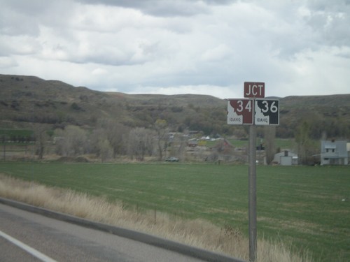
ID-34/ID-36 East Approaching Split
ID-34/ID-36 east approaching ID-34/ID-36 split. ID-34 is signed as the Pioneer Historic Byway.
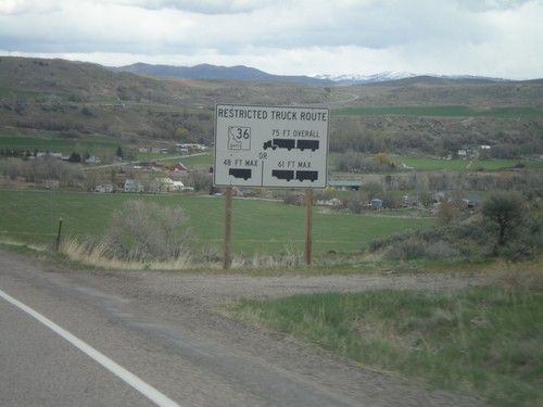
ID-34/ID-36 East - Restricted Truck Route on ID-36
Restricted Truck Route on ID-36 on ID-34/ID-36 east.
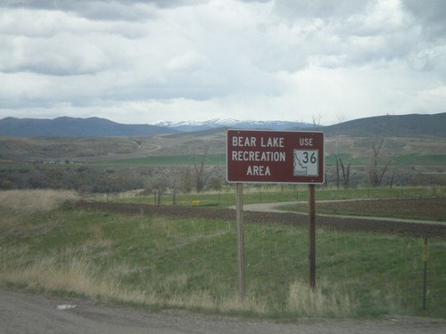
ID-34 North/ID-36 East - Bear Lake Rec. Area
ID-34 North/ID-36 East approaching ID-36. Use ID-36 East for the Bear Lake Recreation Area.
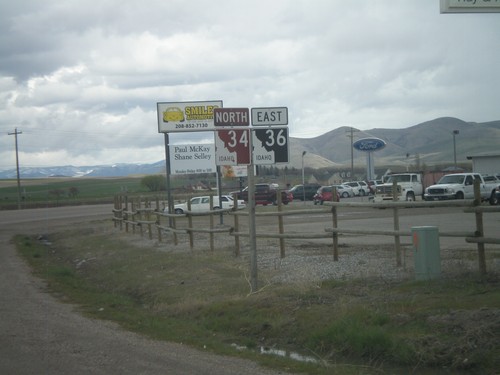
ID-34 North/ID-36 East
ID-34 North/ID-36 east in Preston. ID-34 is signed as the Pioneer Historic Byway.
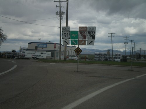
US-91 North/ID-36 East at ID-34/ID-36
US-91 north/ID-36 east at ID-34/ID-36. ID-36 leaves US-91 here, as well as the Pioneer Historic Byway.
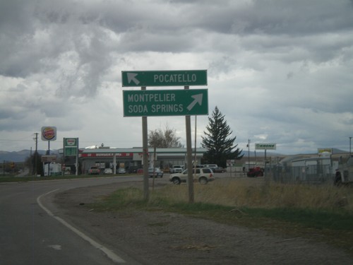
US-91 North/ID-36 East at ID-34/ID-36
US-91 north/ID-36 east at ID-34/ID-36. Use US-91 north for Pocatello. Use ID-34 North/ID-36 east for Soda Springs and Montepelier.
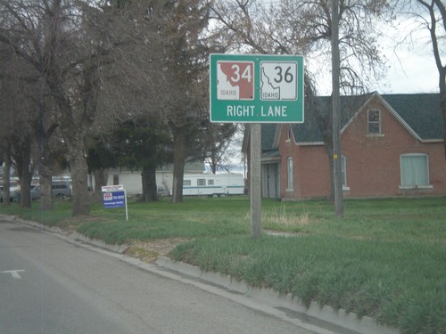
US-91 North/ID-36 East Approaching ID-34/ID-36
US-91 North/ID-36 east approaching ID-34/ID-36 jct. This is the beginning of ID-34 north. The Pioneer Historic Byway leaves US-91 and joins ID-34 north.
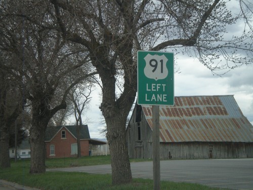
US-91 North/ID-36 East Approaching ID-34
US-91 North/ID-36 East approaching ID-34 north. Use left lanes to continue on US-91 north.
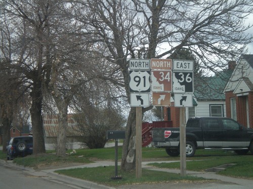
US-91 North/ID-36 East Approaching ID-34
US-91 North/ID-36 East approaching ID-34. The Pioneer Historic Byway leaves US-91 here and continues along ID-34.
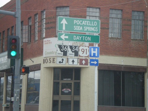
US-91 North at ID-36
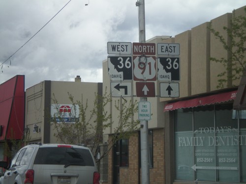
US-91 north at ID-36 west. Use ID-36 west for Dayton. ID-36 east joins US-91 north through Preston. Continue on US-91 North/ID-36 east for Pocatello, Soda Springs, and ID-34 junction.
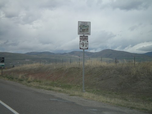
US-91 North - Pioneer Historic Byway
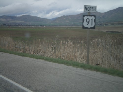
US-91 North - Pioneer Historic Byway. This is the first US-91 shield inside of Idaho.
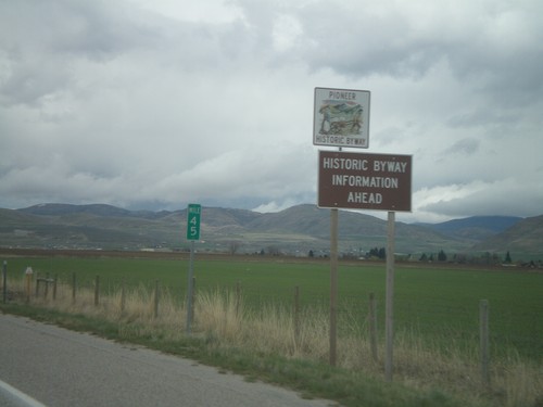
US-91 North - Historic Byway Information
Pioneer Historic Byway information on US-91 north approaching the Idaho State line. Pioneer Historic Byway is within the state of Idaho.
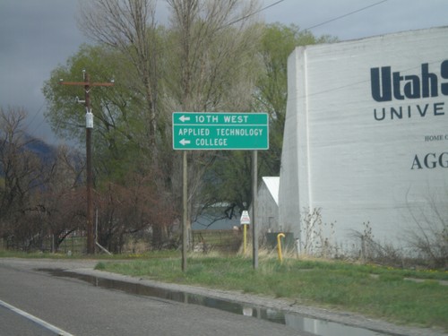
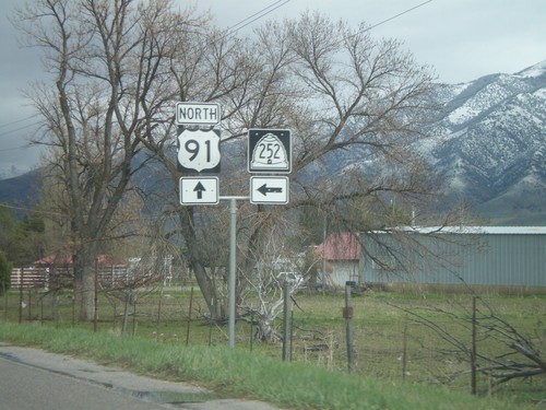
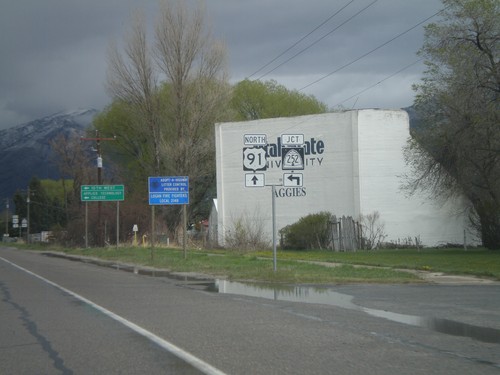
US-89/US-91 North at UT-252
US-89/US-91 North at UT-252 north (10th West) to the Applied Technology College.
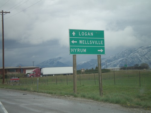
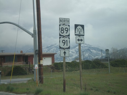
US-91/US-89 North at UT-101
US-91/US-89 north at UT-101. Use UT-101 west for Wellsville; east for Hyrum.
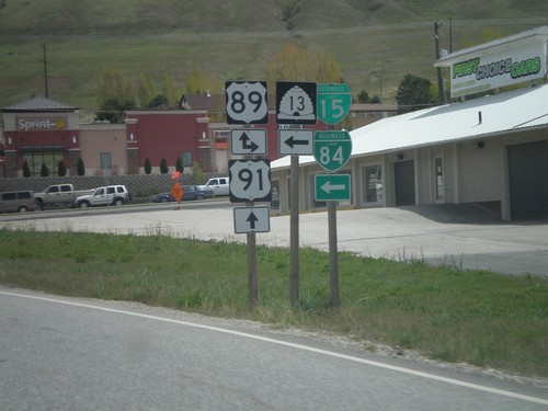
US-91 North at US-89/UT-13/BL-15/BL-84
US-91 north at US-89/UT-13/BL-15/BL-84. US-89 joins US-91 north to Logan.
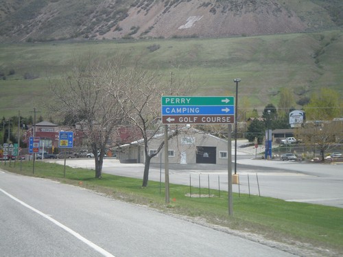
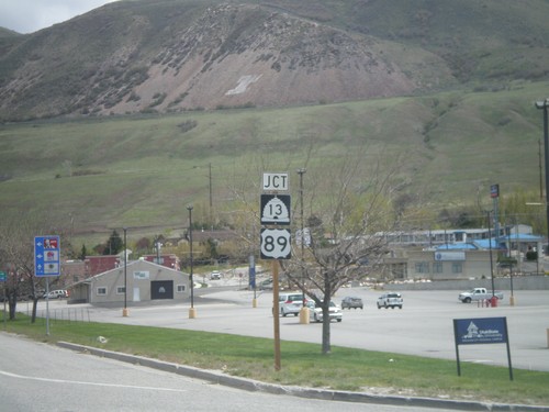
US-91 North at US-89/UT-13
US-91 north at US-89/UT-13. Use US-89 south for Perry. US-89 joins US-91 north to Logan.
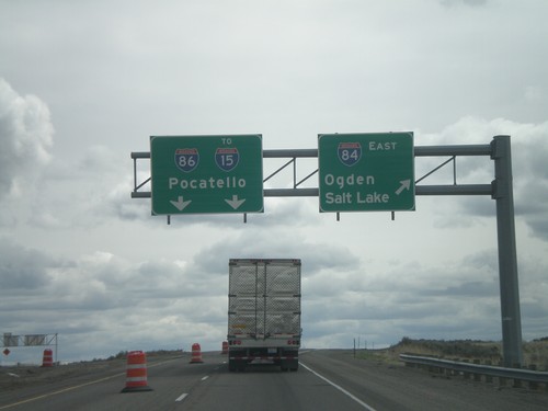
I-84 East - Exit 222
I-84 east at I-86 east to I-15 and Pocatello. Use I-84 east for Ogden and Salt Lake.
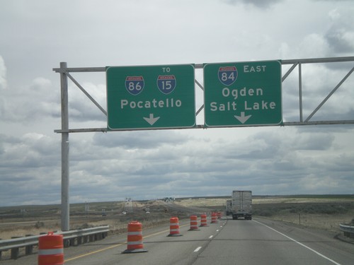
I-84 East Approaching I-86
I-84 east approaching I-86 east to I-15 and Pocatello. Use I-84 west for Ogden and Salt Lake.
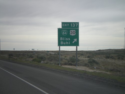
I-84 East - Exit 137
I-84 east at Exit 137 - BL-84/US-30/Bliss/Buhl. US-30 leaves I-84 here, and rejoins I-84 in Heyburn.
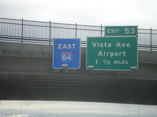
I-84 East - Exit 53
I-84 east overhead, and approaching Exit 53 - Vista Ave./Airport, 1 1/2 miles. The I-84 east sign has a blue background, which is not ordinary. This interchange is currently under construction, and I am guessing the blue will be replaced with green at some point.
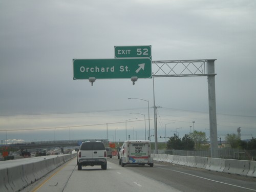
I-84 East - Exit 52
I-84 east at Exit 52 - Orchard St. Orchard St. provides access to Gowen Field - the National Guard Base. This interchange is currently being rebuilt.
