Signs From July 2010
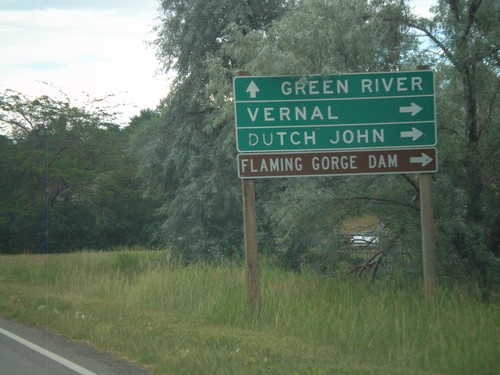
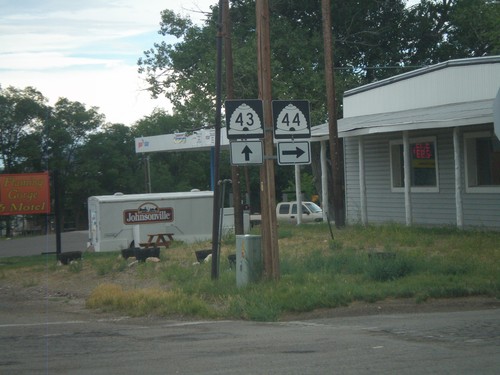
UT-43 East Approaching UT-44
UT-43 east approaching UT-44. Use UT-44 east for Vernal, Dutch John, and Flaming Gorge Dam. Continue east on UT-43 for Green River.
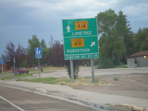
WY-414 South at WY-410
WY-414 south at WY-410. Use WY-410 south for Robertson. Continue south on WY-414 for Lonetree.
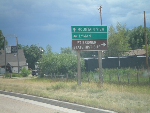
WY-414 South Approaching BL-80
WY-414 south approaching BL-80. Use BL-80 east for Lyman; BL-80 west for Fort Bridger State Historic Site. Continue south on WY-414 for Mountain View.
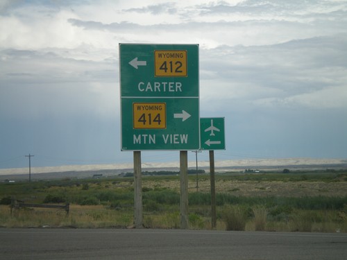
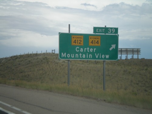
I-80 East at Exit 39 Offramp
I-80 east at Exit 39 Offramp. Use WY-414 South for Mountain View. Use WY-412 North for Carter.
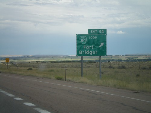
I-80 East - Exit 34
I-80 east at Exit 34 - BL-80/Fort Bridger. This is the western end of the Bridger Valley business loop.
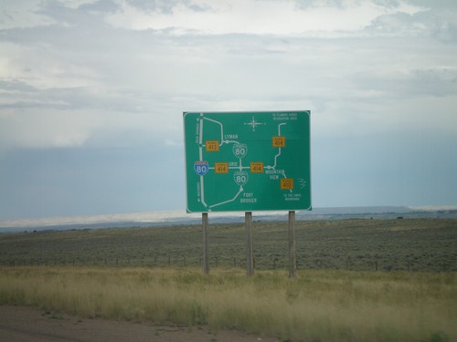
Bridger Valley Route Diagram
Route diagram for the Bridger Valley on I-80 east, descending into the Bridger Valley.
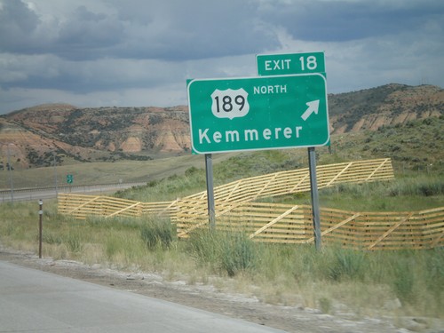
I-80 East - Exit 18
I-80 east at Exit 18 - US-189 North/Kemmerer. US-189 north leaves I-80 here. Westbound, US-189 south follows I-80 to US-40 junction near Park City, Utah. US-189 is not signed along the Utah portion of the overlap.
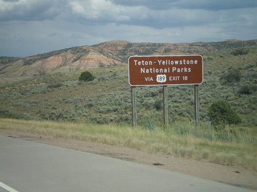
I-80 East - Yellowstone/Grand Teton Access
Yellowstone/Grand Teton Access via US-189 north, approaching Exit 18 on I-80 east. All routes that lead to Yellowstone have signs like this from the interstate in Wyoming.
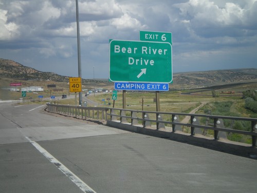
I-80 East - Exit 6
I-80 east at Exit 6 - Bear River Drive. This is the eastern end of the Evanston business loop. Access to the Evanston Rest Area, Wyoming Welcome Center, and Bear River State Park.
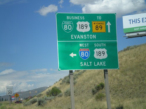
BL-80/Bus. US-189 East at I-80 West
BL-80/Bus. US-189 east at I-80 West/US-189 South (Exit 3) onramp to Salt Lake. Continue east on the business loop for Evanston.
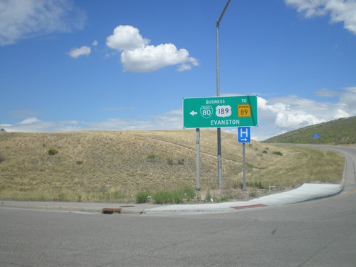
I-80 East Exit 3 Offramp
I-80 east Exit 3 offramp at BL-80/Bus. US-189. Turn left for the business loop into Evanston.
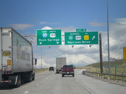
I-80 East - Exit 3
I-80 East/US-189 North at Exit 3 - BL-80/Bus. US-189/To WY-89/Harrison Drive. Continue on I-80 East/US-189 North for Rock Springs.
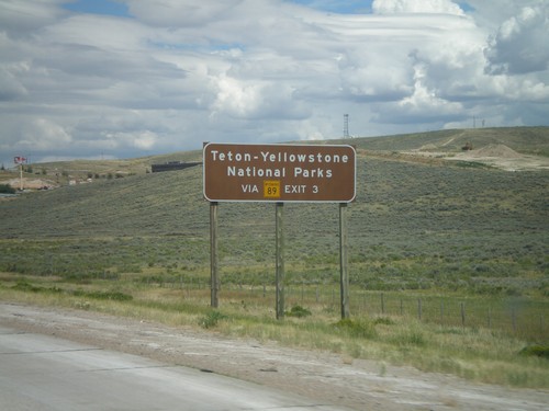
Use WY-89 North (Exit 3) For National Parks
I-80 East/US-189 north approaching Exit 3. Use Exit 3 for Grand Teton and Yellowstone National Parks via WY-89 north.
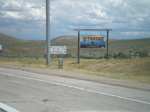
I-80 East - Welcome To Wyoming
Welcome to Wyoming - Forever West, on I-80 east. Taken at the Utah-Wyoming State Line.
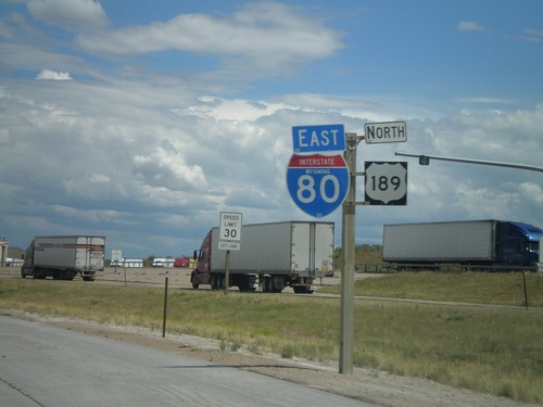
I-80 East/US-189 North
I-80 East/US-189 North at the Utah-Wyoming State Line. The official welcome sign is located after the Wyoming Port of Entry which is located directly on the state line. This is the only indication of the state line.
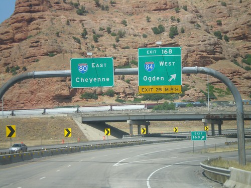
I-80 East - Exit 168
I-80 East at Exit 168 - I-84 West/Ogden. I-80 continues east towards Cheyenne. This is the eastern end of I-84.
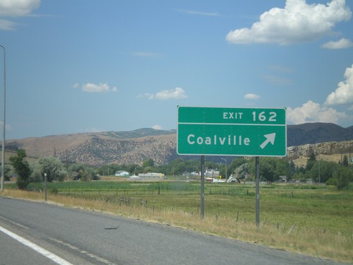
I-80 East - Exit 162
I-80 east at Exit 162 - Coalville. Coalville is the county seat of Summit County.
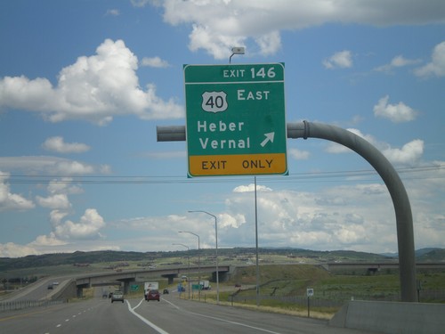
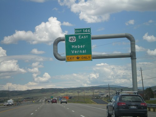
I-80 East - Exit 146
I-80 East at Exit 146 - US-40 East/Heber/Vernal. This is the western end of US-40.
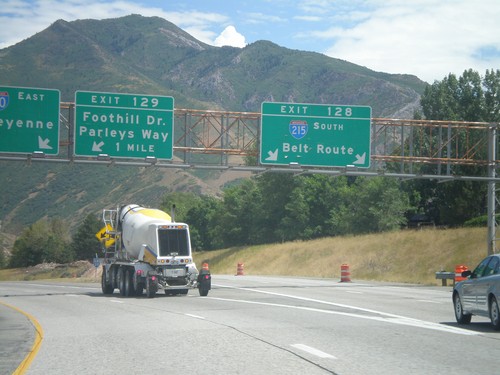
I-80 East At Exit 128 and Approaching Exit 129
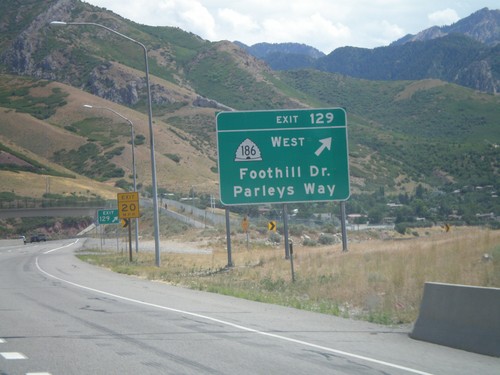
I-80 east at Exit 128 - I-215 South/Belt Route. Approaching Exit 129 - Foothill Drive/Parleys Way. I-80 continues east towards Cheyenne.
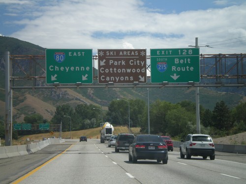
I-80 East - Ski Areas
I-80 east approaching Exit 118 - I-215 South/Belt Route. A sign informs which exit to take for local ski areas. Use I-215 south for Cottonwood Canyons. Continue on I-80 east towards Cheyenne for Park City.
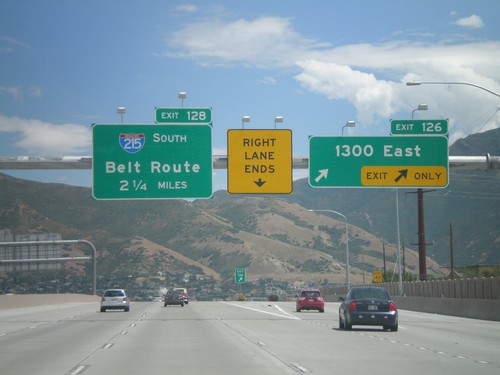
I-80 East - Exit 126 and Approaching Exit 128
I-80 east at Exit 126 - 1300 East. Approaching Exit 128 - I-215 South/Belt Route.
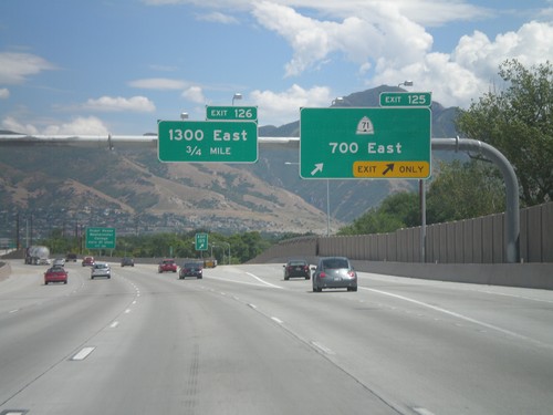
I-80 East - Exit 125. Approaching Exit 126
I-80 east at Exit 125 - UT-71/700 East. Approaching Exit 126 - 1300 East.
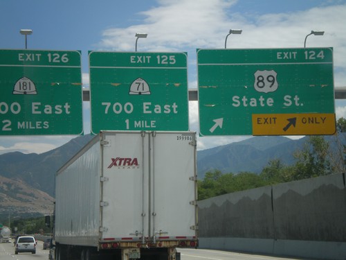
I-80 East - Exits 124, 125, and 126
I-80 east at Exit 124 - US-89/State St. Approaching Exit 125 - UT-71/700 East. Also approaching Exit 126 - UT-181/1300 East.
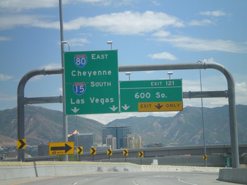
I-80 East - Exit 121
I-80 east at Exit 121 - 600 South. This exit is located on the merge between I-15 South and I-80 East. Use I-80 East for Cheyenne, and I-15 South for Las Vegas.
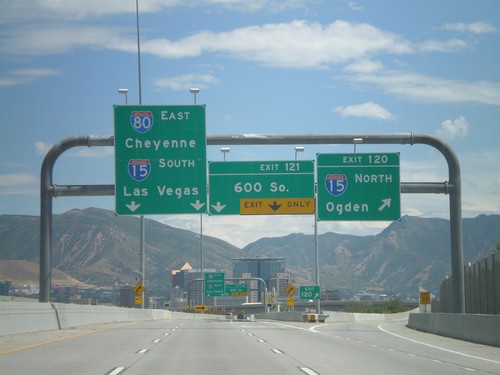
I-80 East - Exits 120 and 121
I-80 east at Exit 120 - I-15 North/Ogden. Approaching Exit 121 - 600 South. I-15 and I-80 join briefly through Salt Lake City. Continue on I-80 East for Cheyenne, and I-15 South for Las Vegas.
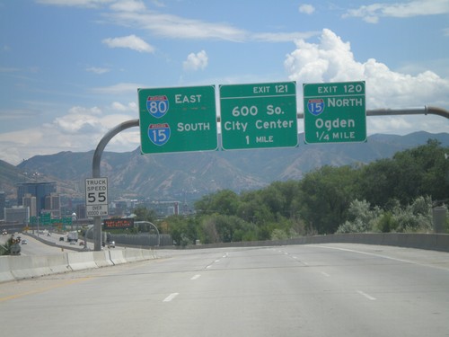
I-80 East - Exits 120 and 121
I-80 east approaching Exit 120 - I-15 North/Ogden. Also approaching Exit 121 - 600 South. Use left lanes for I-80 East and I-15 South.
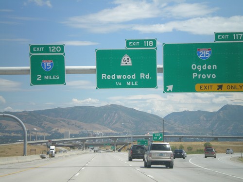
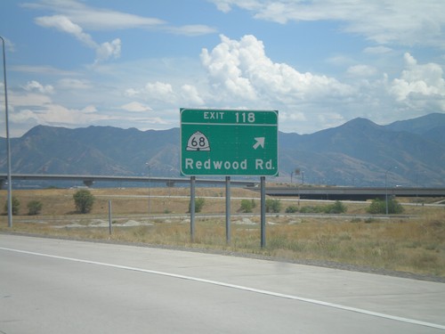
I-80 East - Exit 117. Approaching Exits 118 and 120
I-80 east at Exit 117 - I-215/Odgen/Provo. I-215 is the Salt Lake City Belt Route. Approaching Exit 118 - UT-68/Redwood Road, and Exit 120 - I-15.
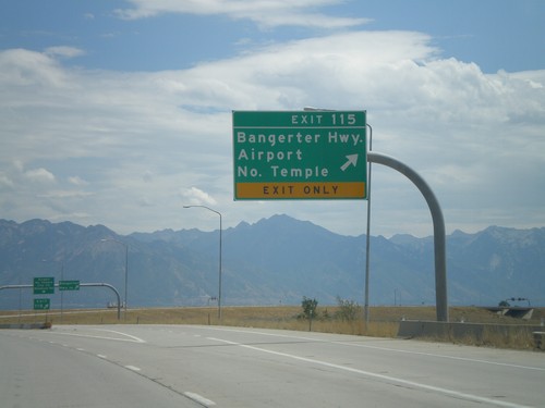
I-80 East - Exit 115
I-80 east at Exit 115 - Bangerter Highway/Airport/North Temple. Use Exit 115 for the Salt Lake City International Airport.
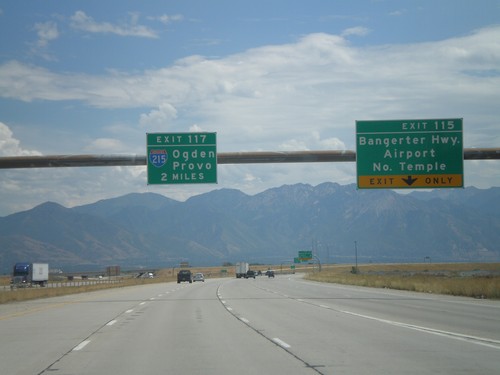
I-80 East - Exits 115 and Exit 117.
I-80 east at Exit 115 - Bangerter Highway/Airport/North Temple. Approaching Exit 117 - I-215/Ogden/Provo.
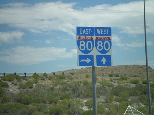
I-80 at Delle Interchange
Approaching I-80 onramps in Delle. Both I-80 shields are part of a white box, which is unusual in Utah.
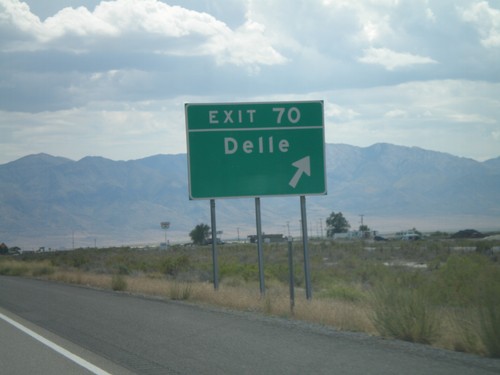
I-80 East - Exit 70
I-80 east at Exit 70 - Delle. Delle is the last fuel westbound to Wendover, in 68 miles.
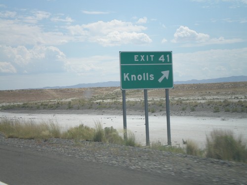
I-80 East - Exit 41
I-80 east at Exit 41 - Knolls. Knolls is at the eastern end of the Salt Flats. The next exit westbound is in 37 miles.
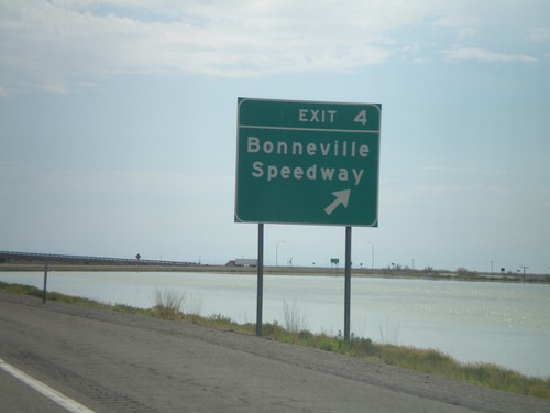
I-80 East - Exit 4
I-80 east at Exit 4 - Bonneville Speedway. The white areas in the picture is salt - this is the western edge of the Salt Flats. The next exit eastbound is in 37 miles. The next Gas eastbound is in 66 miles at Delle.
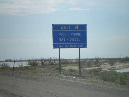
I-80 East - Exit 4 Services
Services at Exit 4. This is the last Gas for 66 miles until the Delle exit.
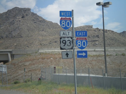
BL-80 West/Alt. US-93 North at I-80
BL-80 West/Alt. US-93 North at I-80 onramps. Alt. US-93 north joins I-80 west to Wells.
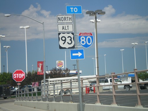
BL-80 West/Alt. US-93 North - To I-80
BL-80 West/Alt. US-93 North on Wendover Blvd. at access road to I-80.
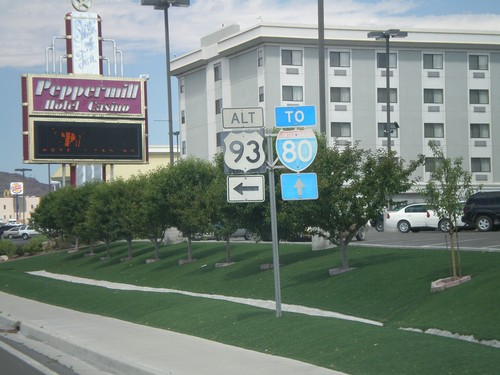
BL-80 West at Alt. US-93
BL-80 west at Alt. US-93. Continue west on BL-80 and Alt. US-93 for I-80. Alt. US-93 follows I-80 west from here to Wells.
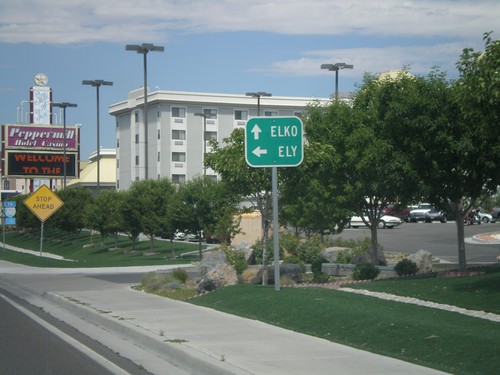
BL-80 West at Alt. US-93
BL-80 west at Alt. US-93. Use Alt. US-93 South for Ely. Alt. US-93 joins BL-80 west towards I-80 and Elko.
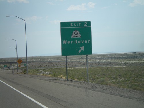
I-80 East - Exit 2
I-80 east at Exit 2 - UT-58/Wendover. This is the eastern end of the Wendover/West Wendover business loop.
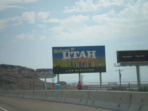
I-80 East - Welcome To Utah
Welcome to Utah on I-80 east. Each region in Utah has its own type of welcome sign. The welcome sign for the northwestern part of Utah shows a picture of Salt Lake City.
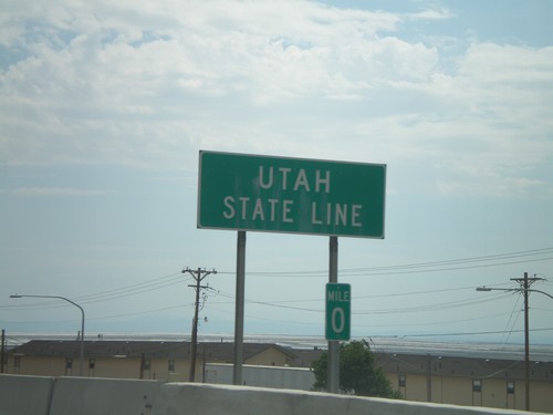
I-80 East - Utah State Line
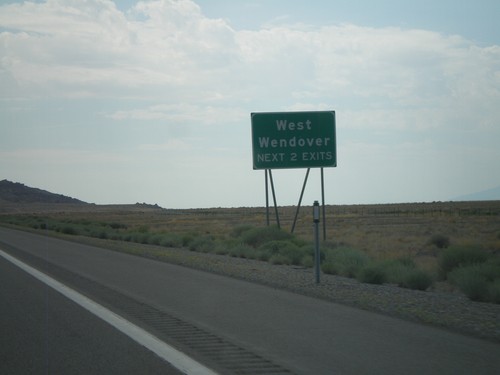
Utah State Line on I-80 east at the Utah-Nevada border. A fancier welcome sign is just east of here. The Utah-Nevada border along I-80 is home to the twin towns of Wendover (Utah) and West Wendover (Nevada). The Nevada side has many large casinos.
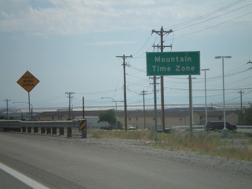
I-80 East - Entering Mountain Time Zone
Entering Mountain Time Zone on I-80 east, just before the Nevada-Utah state line.
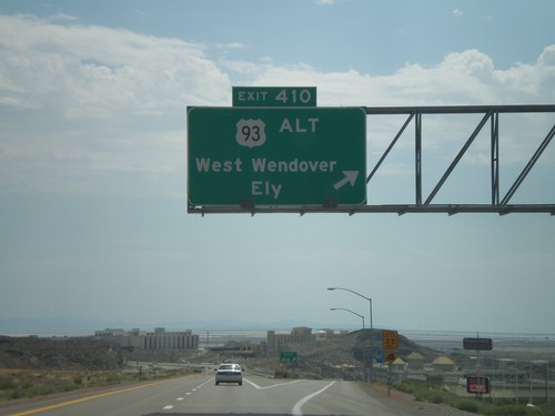
I-80 East - Exit 410
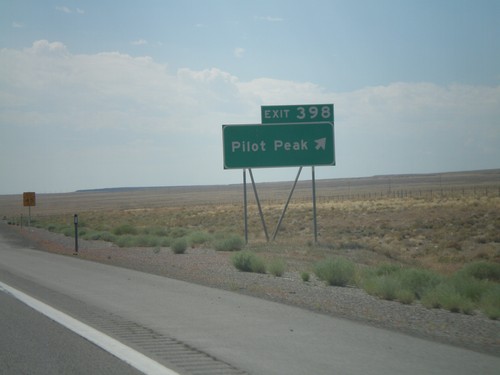
I-80 east at Exit 410 - US-93 Alt./West Wendover/Ely. This is the last exit in Nevada on I-80 east. This exit is the western end of the West Wendover/Wendover business loop. The casinos in West Wendover and the salt flats beyond are visible.
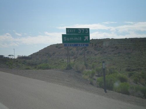
I-80 East - Exit 373
I-80 east at Exit 373 - Summit. Access to Rest Area. Summit refers to Pequop Summit.
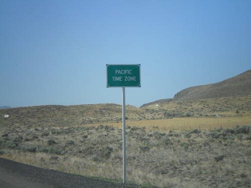
US-93 South - Pacific Time
Entering Pacific Time on US-93 south. Almost all of Nevada is on Pacific Time, except for a few of the border towns, Jackpot included.
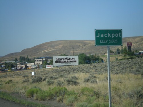
US-93 South - Jackpot
Entering Jackpot on US-93 south. Jackpot lies right on the Idaho-Nevada border, and is home to several casinos.
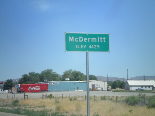
US-95 North - Entering McDermitt
Entering McDermitt - Elevation 4425. McDermitt is located along the Nevada-Oregon border.
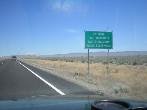
US-95 North - Entering Fort McDermitt Indian Reservation
Entering Fort McDermitt Paiute-Shoshone Indian Reservation on US-95 north.
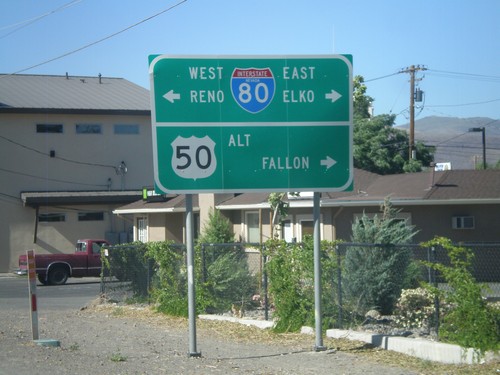
Alt. US-95 North at Alt. US-50/BL-80/NV-427
Alt. US-95 north at Alt. US-50/BL-80 east to Fallon and Elko and BL-80/NV-427 west to Reno.
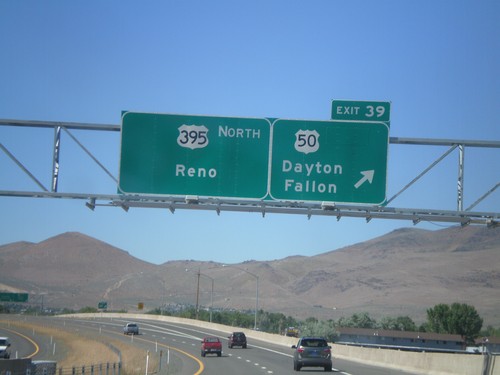
US-395 North - Exit 39
US-395 north at Exit 39 - US-50/Dayton/Fallon. Continue north on US-395 for Reno. The US-50/US-395 split ends here.
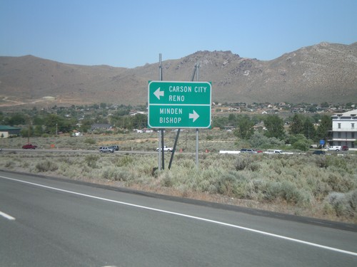
US-50 East Approaching US-395
US-50 east approaching US-395. Use US-395 south for Minden and Bishop (California). US-50 east joins US-395 north for Carson City and Reno.
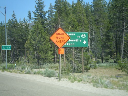
US-50 East At CA-89 South
US-50 east at CA-89 south/Markleeville/Jackson to CA-88. CA-89 north joins US-50 east to South Lake Tahoe.
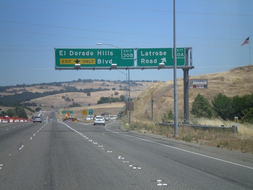
US-50 East - Exits 30A and 30B
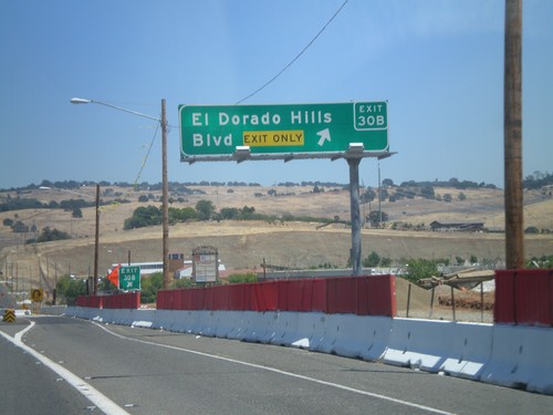
US-50 east at Exit 30A - Latrobe Road. Approaching Exit 30B - El Dorado Hills Blvd.
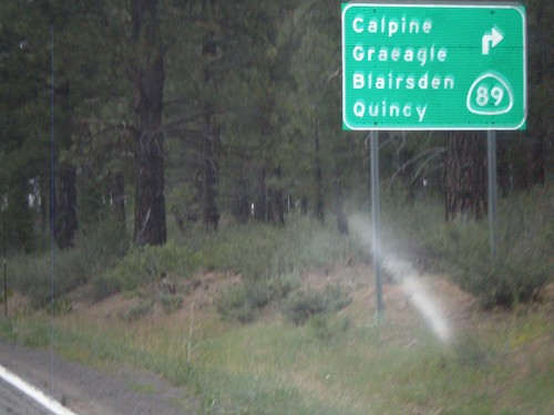
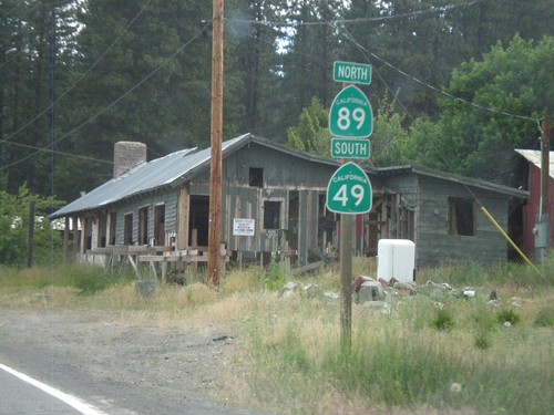
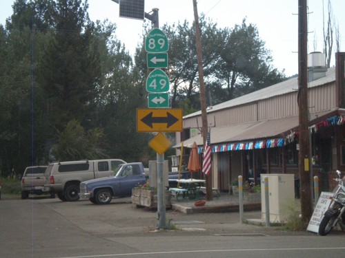
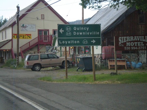
CA-49 South/CA-89 North at Split
CA-49 south at CA-89 north split. CA-89 turns left here towards Calpine, Graeagle, Blairsden, and Quincy.
