Signs From February 2011
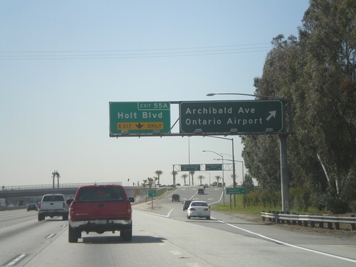
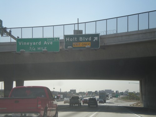
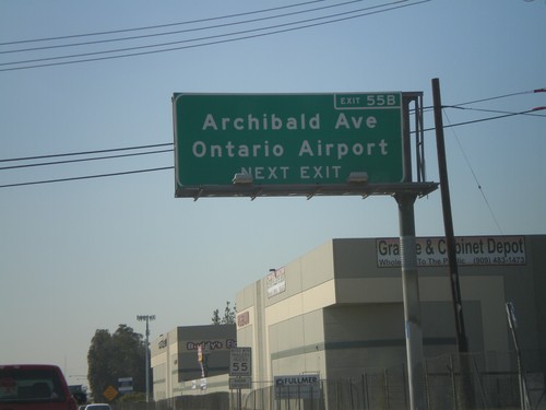
I-10 West - Exits 55B and 55A
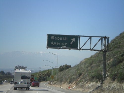
I-10 west at Exit 55B - Archibald Ave./Ontario Airport. Approaching Exit 55A - Holt Blvd.
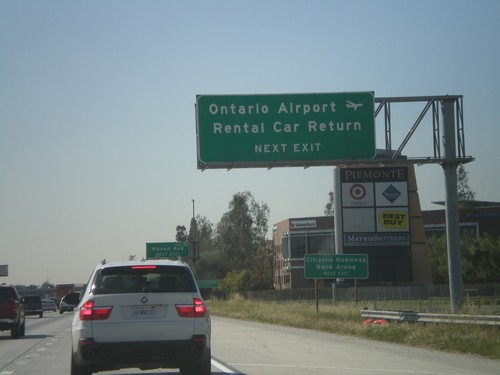
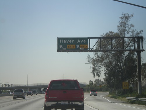
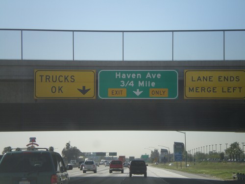
I-10 West Approaching Exit 56
I-10 west approaching Exit 56 - Haven Ave. Use Haven Ave. for Ontario Airport Rental Car Return.
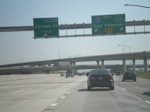
I-15 South at Exits 109A and 108
I-15 south at Exit 109A - I-10 West/Los Angeles. Approaching Exit 108 - Jurupa St.
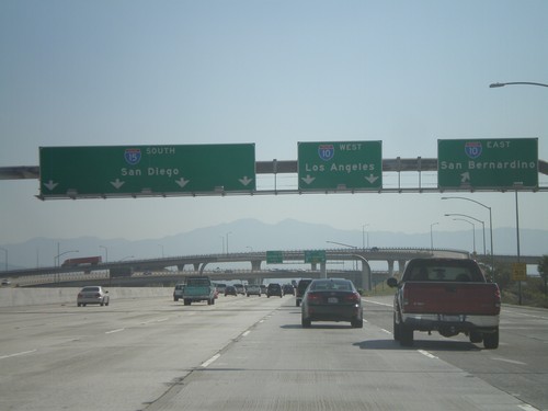
I-15 South - Exits 109B and 109A
I-15 south at Exit 109B - I-10 East/San Bernardino. Approaching Exit 109A - I-10 West/Los Angeles.
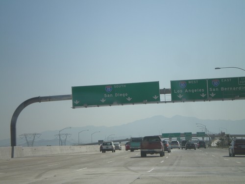
I-15 South Approaching Exit 109
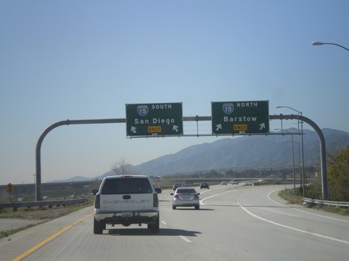
I-15 south approaching Exit 109 - I-10 West/Los Angeles; I-10 East/San Bernardino. Continue on I-15 south for San Diego.
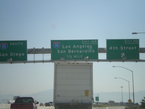
I-15 South - Exits 110 and 109
I-15 south at Exit 110 - 4th St. Approaching Exit 109 - I-10/San Bernardino/Los Angeles. I-15 continues south towards San Diego.
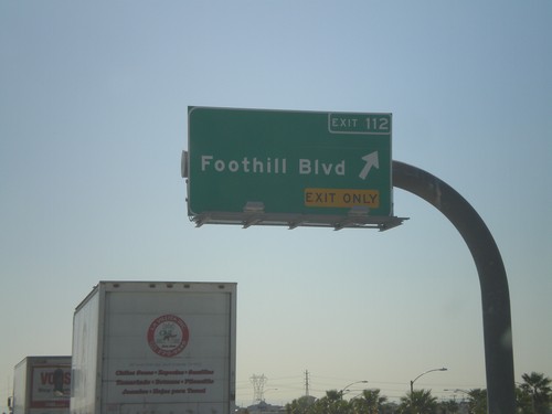
I-15 South - Exit 112
I-15 South at Exit 112 - Foothill Blvd. Foothill Blvd. is CA-66, but is not signed at this intersection. Advance signs for Foothill Blvd. show the CA-66 shield.
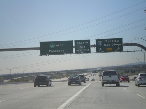
CA-210 West - Exits 65B and 64A
CA-210 west at Exit 64B - I-15/San Diego/Barstow. Approaching Exit 64A - Cherry Ave. CA-210 continues west towards Pasadena.
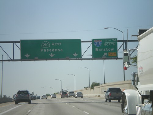
CA-210 West - Exit 74
CA-210 west at Exit 74 - I-215 North/Barstow. Continue west on CA-210 for Pasadena.
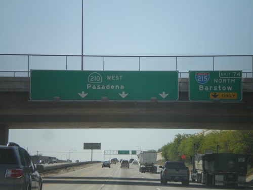
CA-210 West Approaching Exit 74
CA-210 west approaching Exit 74 - I-215 North/Barstow. CA-210 continues west towards Pasadena.
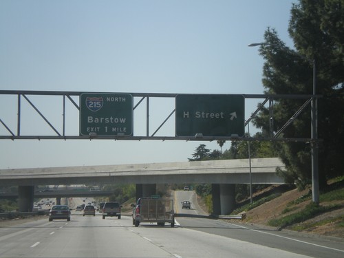
CA-210 West - Exit 75A and Exit 74
CA-210 west at Exit 75A - H St. Approaching Exit 74 - I-215 North/Barstow.
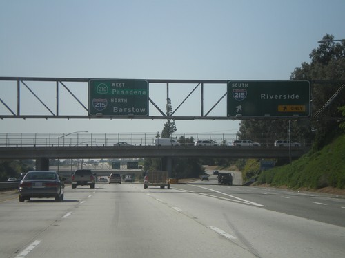
CA-210 West - Exit 75B
CA-210 West at Exit 75B - I-215 South/Riverside. Continue west on CA-210 for Pasadena, and I-215 North/Barstow Jct.
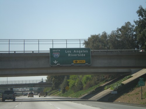
CA-210 West Approaching Exit 75B
CA-210 west approaching Exit 75B - I-215 South/Los Angeles/Riverside. CA-210 shield is on the right.
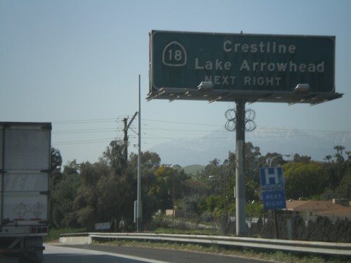
CA-210 West Approaching Exit 76
CA-210 west approaching Exit 76. Use Exit 76 for CA-18/Crestline/Lake Arrowhead.
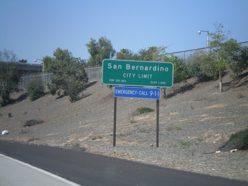
CA-210 West - San Bernardino City Limit
San Bernardino City Limit on CA-210 west. San Bernardino is the county seat of San Bernardino County.
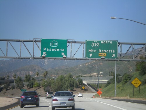
CA-210 West at Exit 81
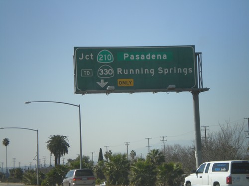
CA-210 west at Exit 81 - CA-330 North/Mountain Resorts. CA-210 continues west towards Pasadena.
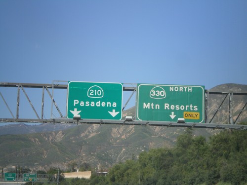
CA-210 West Approaching Exit 81
CA-210 west approaching Exit 81 - CA-330 North/Mountain Resorts. Continue west on CA-210 west for Pasadena.
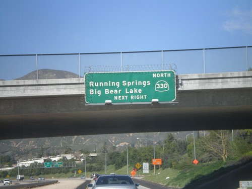
CA-210 West Approaching Exit 81
CA-210 west approaching Exit 81 - CA-330 North/Running Springs/Big Bear Lake.
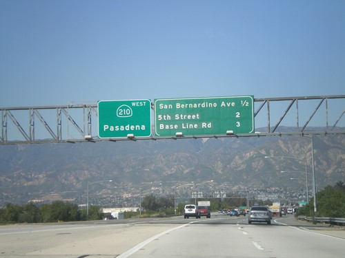
CA-210 West - Next 3 Exits
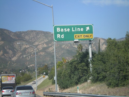
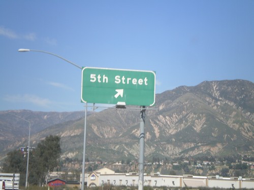
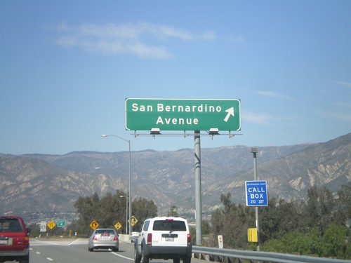
Next 3 CA-210 exits: San Bernardino Ave., 5th St., and Base Line Road. Continue west on CA-210 for Pasadena.
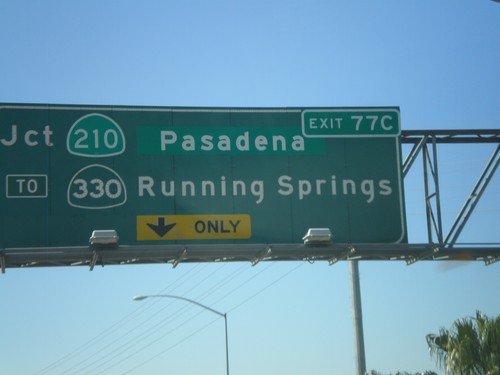
I-10 West Approaching Exit 77C
I-10 west approaching Exit 77C - Jct. CA-210/Pasadena/To CA-330/Running Springs.
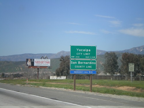
I-10 West - San Bernardino County Line
I-10 west at San Bernardino County Line, and Yucaipa City Limits.
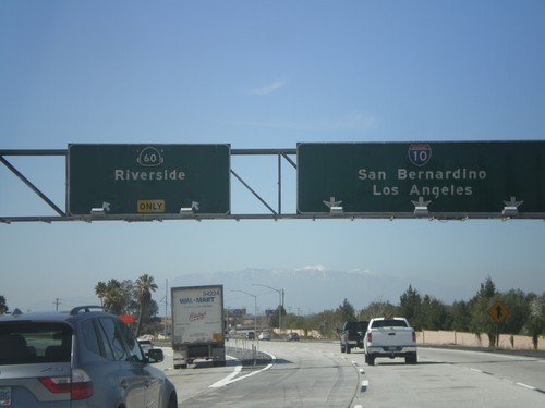
I-10 West - Exit 93
I-10 west at Exit 93 - CA-60/Riverside. I-10 continues west towards San Bernardino and Los Angeles. CA-60 parallels I-10 to the south into Los Angeles. Although the sign does not mention it, either route can be used for Los Angeles. An old US-60 shield can be sign peeking out from behind the CA-60 shield.
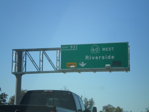
I-10 West Approaching CA-60
I-10 west approaching Exit 93 - CA-60/Riverside. Exit 93 exits from the left lanes.
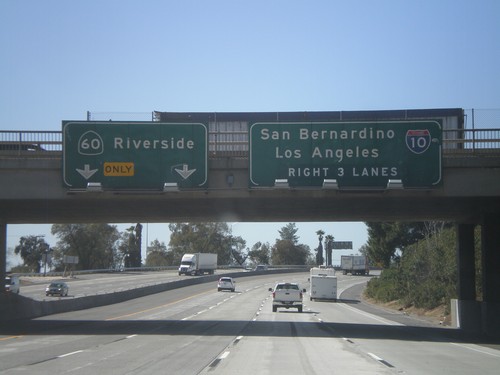
I-10 West Approaching Exit 93
I-10 west approaching Exit 93 - CA-60/Riverside. Use right 3 lanes for I-10 towards San Bernardino and Los Angeles.
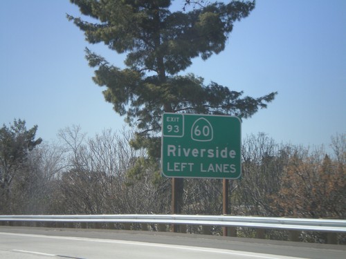
I-10 West Approaching Exit 93
I-10 west approaching Exit 93 - CA-60/Riverside. Use left lanes for CA-60 exit.
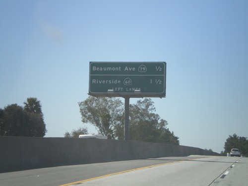
I-10 West - Next 2 Beaumont Exits
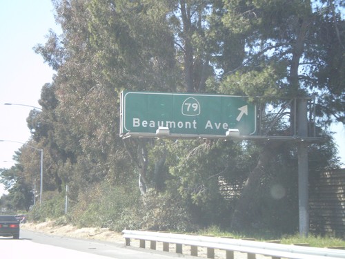
Next 2 exits on I-10 west in Beaumont: CA-79/Beaumont Ave and Riverside/CA-60.
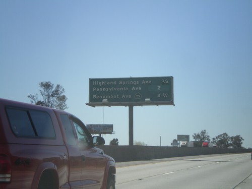
I-10 West - Banning/Beaumont Exits
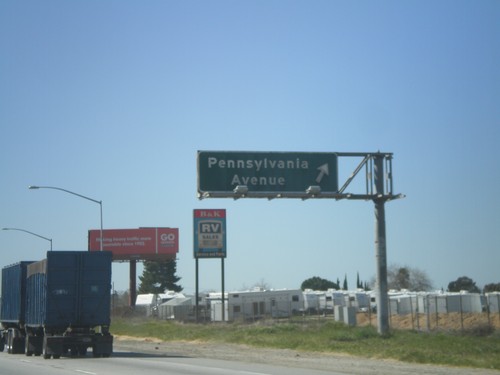
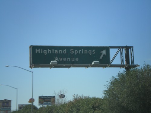
Banning and Beaumont exits on I-10 west - Highland Springs Ave., Pennsylvania Ave., and CA-79/Beaumont Ave.
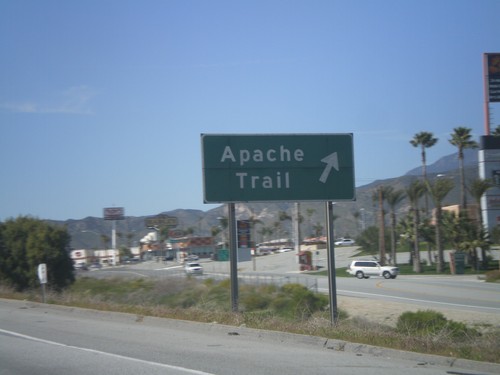
I-10 East - Exit 104
I-10 west at Exit 104 - Apache Trail. Apache Trail provides access to the Fantasy Springs Casino, and the concrete dinosaurs.
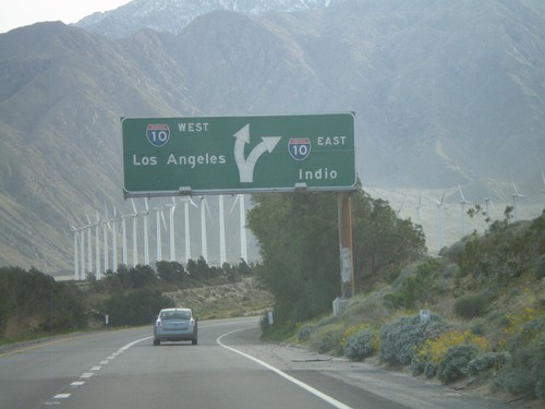
End CA-62 West at I-10
End CA-62 west at I-10. Use I-10 west for Los Angeles; use I-10 east for Indio.
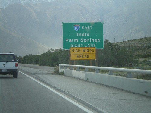
End CA-62 Approaching I-10
Approaching the west end of CA-62 at I-10. Use right lanes for I-10 east for Indio and Palm Springs.
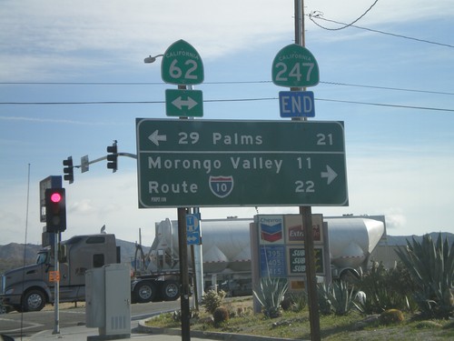
End CA-247 South at CA-62
End CA-247 south at CA-62. Use CA-62 east for 29 Palms; use CA-62 east for I-10 and Morongo Valley.
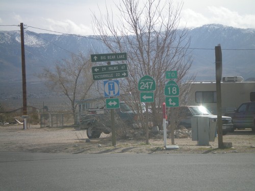
CA-247 South at CA-18
CA-247 south at CA-18. This is not the true junction with CA-18, which lies a little to the south and east. Use CA-18 west for Victorville; use CA-18 east for Big Bear Lake; use CA-247 south for 29 Palms.
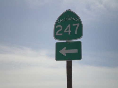
I-15 South at CA-247
I-15 south at Exit 183 offramp at CA-247 jct. Turn left for CA-247, Barstow Road.
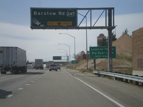
I-15 South - Exit 183
I-15 south at Exit 183 - CA-247/Barstow Road. Use CA-247 south for Lucerne Valley and Big Bear Lake.
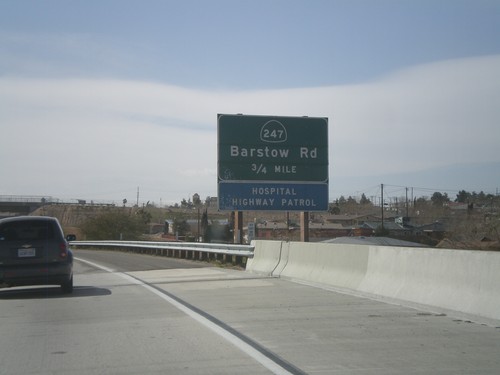
End I-40 West Approaching I-15 Exit 183
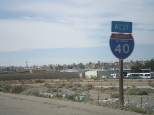
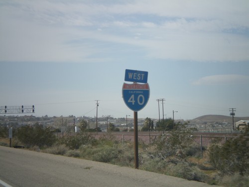
End I-40 west at I-15. Approaching I-15 Exit 183 - CA-247/Barstow Road.
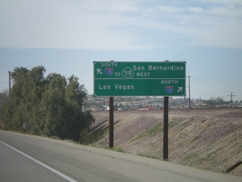
I-40 West - I-15/CA-58 Access
Approaching Exit 1 on I-40 west. There is no direct connection from I-40 west to I-15 north. For I-15 North/Las Vegas access, use Exit 1 (Main St.). For I-15 South/To CA-58 West/San Bernardino continue west on I-40.
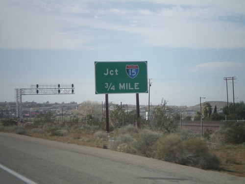
I-40 West Approaching I-15
I-40 west approaching I-15. Use Exit 1 for I-15 north. Continue west on I-40 for I-15 south.
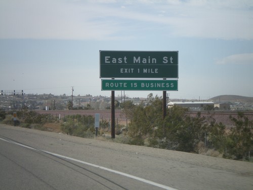
I-40 West Approaching Exit 1
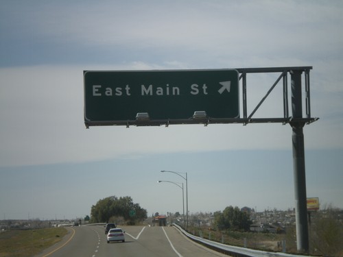
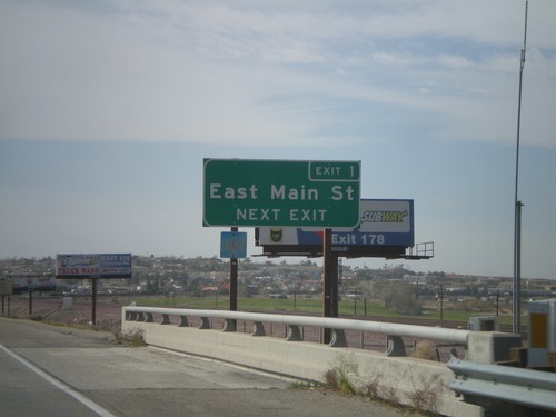
I-40 west approaching Exit 1 - East Main St. East Main St. is part of Business Loop I-15.
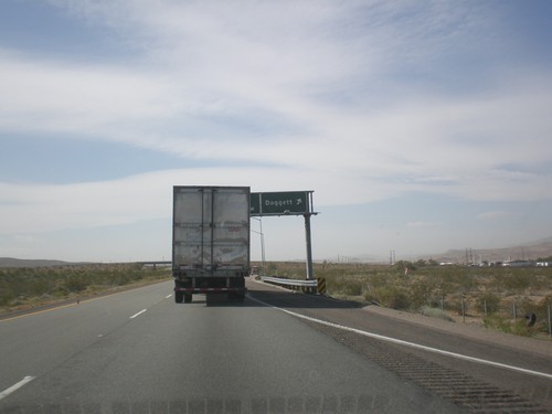
I-40 West - Exit 7
I-40 west at Exit 7 - Daggett. The text on the portion of the sign obscured by the truck is I-40/Barstow.
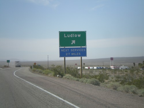
I-40 West - Exit 50
I-40 west at Exit 50 - Ludlow. The next services westbound are in 23 miles, in Newberry Springs.
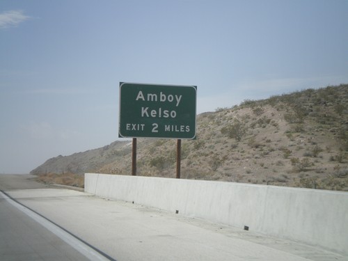
I-40 West Approaching Exit 78
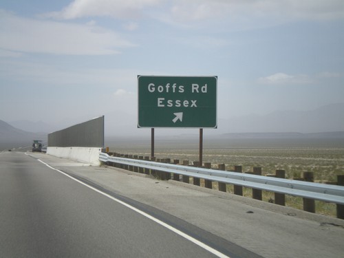
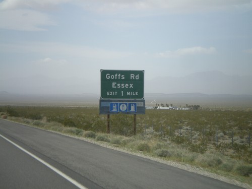
I-40 west approaching Exit 78 - Amboy/Kelso. The actual text at the offramp is Kelbaker Road.
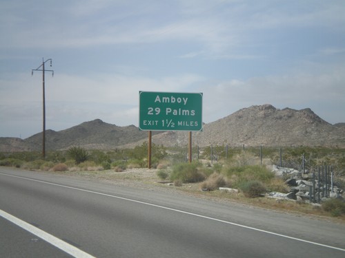
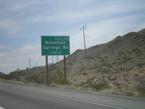
I-40 West Approaching Exit 115
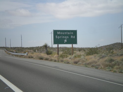
I-40 west approaching Exit 115 - Amboy/29 Palms. The actual text at the offramp is Mountain Springs Road.
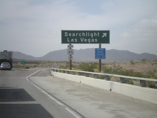
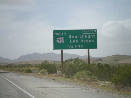
I-40 West - Exit 133
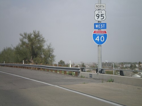
I-40 west at Exit 133 - US-95 North/Searchlight/Las Vegas. US-95 north leaves I-40 westbound here and heads north into Nevada. Eastbound, US-95 south joins I-40 through Needles.
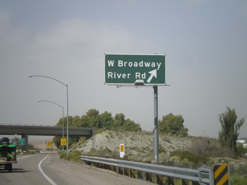
I-40 West - Exit 141
I-40 west at Exit 141 - W. Broadway/River Road. This is the eastern end of the Needles business loop.
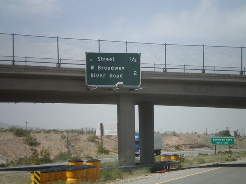
I-40 West - Needles Exits
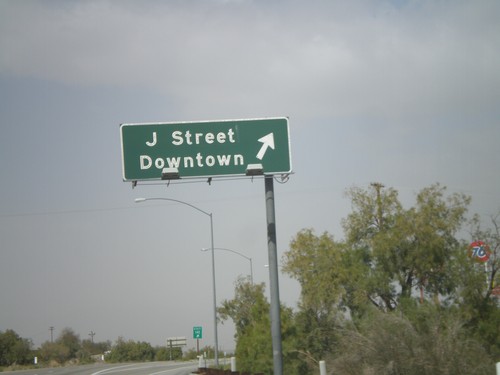
Needles Exits on I-40 west. The next two exits are J St. and West Broadway/River Road. Sign in background directs Bullhead City (Arizona) traffic to use the J St. exit.
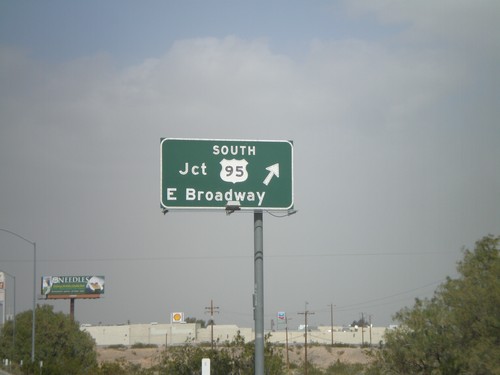
I-40 West - Exit 143
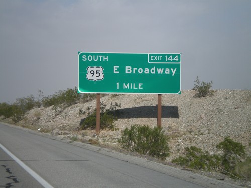
I-40 west at Exit 143 - US-95 South/E. Broadway. US-95 north joins I-40 west through Needles. This is the eastern end of the Needles business loop.
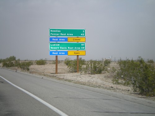
I-40 West - Mojave Desert Services
Services in the Mojave Desert along I-40 west between here and Newberry Springs. Both Needles and Ludlow have services. Also, distance to the next Rest Areas and their status.
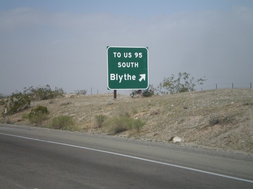
I-40 West - Exit 148
I-40 west at Exit 148 - To US-95 South/Blythe. The US-95 shield is displayed as text on this sign. This exit serves File Mile Road, and provides a cutoff between I-40 and US-95 south.
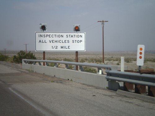
I-40 West Approaching California State Agricultural Inspection Station
I-40 west approaching the California State Agricultural Inspection Station at Needles. All traffic has to stop for inspection.
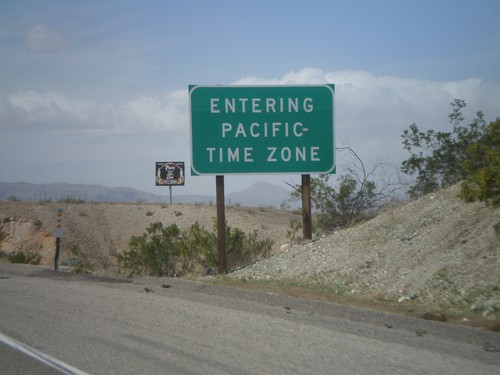
I-40 West - Entering Pacific Time
Entering Pacific Time on I-40 west. Arizona does not observe daylight savings time, so during the summer months Arizona and California are on the same time.
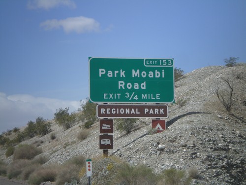
I-40 West Approaching Exit 153
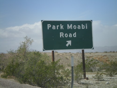
I-40 west approaching Exit 153 - Park Moabi Road. This is the first exit on I-40 inside California westbound.
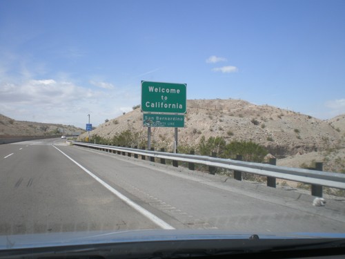
Welcome To California - I-40 West
Welcome to California on I-40 west at the Arizona-California state line crossing the Colorado River. San Bernardino County line.
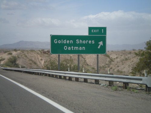
I-40 West - Exit 1
I-40 west at Exit 1 - Golden Shores/Oatman. This is the last exit in Arizona on I-40 westbound.
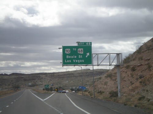
I-40 West - Exit 48
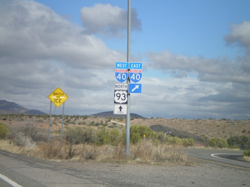
I-40 west at Exit 48 - US-93/To AZ-68/Las Vegas/Beale St. US-93 north leaves I-40 westbound and turns towards Las Vegas. Eastbound, US-93 south joins I-40 through Kingman.
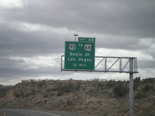
I-40 West Approaching Exit 48
I-40 west approaching Exit 48 - US-93/To AZ-68/Beale st./Las Vegas. AZ-68 leaves US-93 north of Kingman and connects to Bullhead City, Arizona and Laughlin, Nevada.
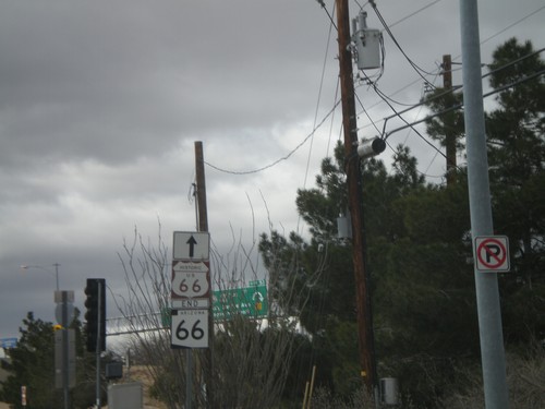
End AZ-66 At I-40/US-93
End AZ-66 West at I-40/US-93 Jct. Historic Loop US-66 continues west through downtown Kingman.
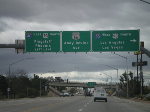
End AZ-66 West At I-40/US-93
End AZ-66 west at I-40/US-93 jct. Use I-40 West/US-93 North for Los Angeles and Las Vegas. Use I-40 East/US-93 South for Phoenix and Flagstaff. Continue straight for Andy Devine Avenue and Historic Loop US-66.
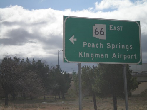
I-40 West at AZ-66
I-40 west at AZ-66 (and Historic Loop US-66) at Exit 53 onramp. Use AZ-66 east for Peach Springs and Kingman Airport.
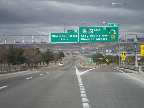
I-40 West - Exits 53 and 51
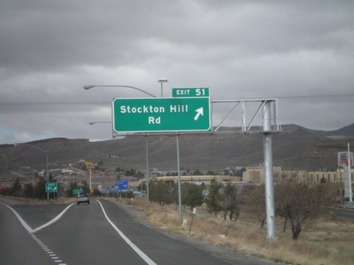
I-40 west at Exit 53 - Historic Loop US-66/AZ-66 East/Andy Devine Ave./Kingman Airport. Approaching Exit 51 - Stockton Hill Road.
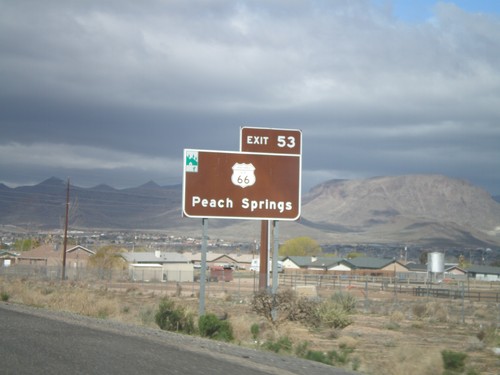
For Historic US-66 Use Exit 53
For Historic US-66 to Peach Springs use Exit 53. The Arizona Scenic Byway symbol is on the top left of this sign. Historic US-66 through Arizona between Topock and Ash Fork is called the Historic Route 66 National Scenic Byway.
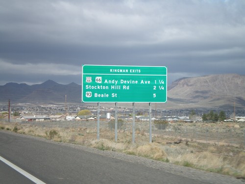
I-40 West - Kingman Exits
Kingman exits on I-40 west: Historic Loop US-66/AZ-66/Andy Devine Ave., Stockton Hill Road, US-93 Beale St.
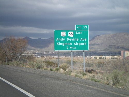
I-40 West Approaching Exit 53
I-40 west approaching Exit 53 - Historic Loop US-66/AZ-66 East/Andy Devine Ave./Kingman Airport.
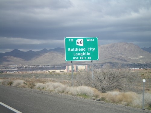
I-40 West - AZ-68 Traffic Use Exit 48
AZ-68 traffic for Bullhead City, and Laughlin (Nevada), use Exit 48. This sign is posted on the east end of Kingman approaching Exit 53.
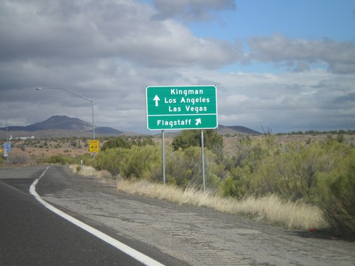
US-93 North at I-40
US-93 north at I-40. Use I-40 West/US-93 north for Kingman/Los Angeles/Las Vegas. Use I-40 east for Flagstaff. US-93 north joins I-40 west through Kingman.
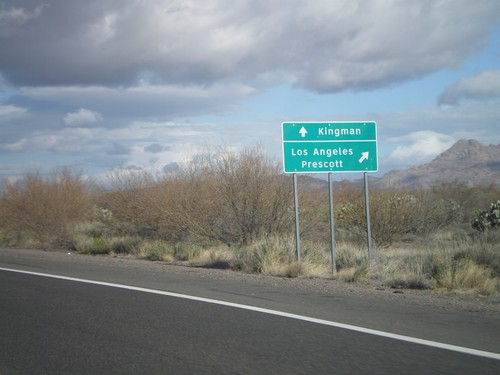
US-93 North at AZ-71
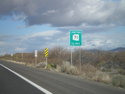
US-93 north at AZ-71 to Los Angeles and Prescott. Continue north on US-93 for Kingman.
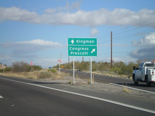
US-93 North at AZ-89 North
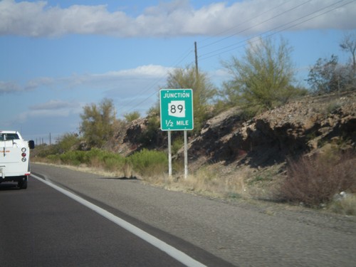
US-93 north at AZ-89 north. Use AZ-89 for Congress and Prescott. Continue north on US-93 for Kingman.
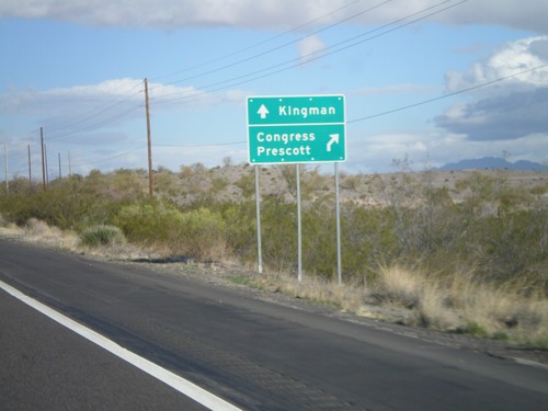
US-93 North Approaching AZ-89 North
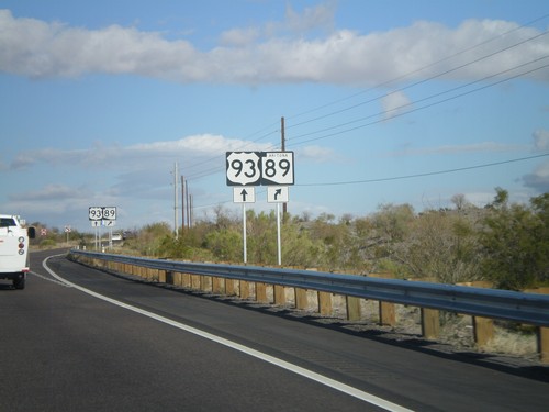
US-93 north approaching AZ-89 north. Use AZ-89 north for Congress and Prescott. Continue north on US-93 for Kingman.
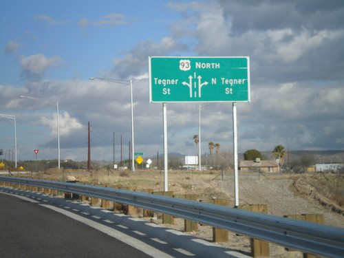
US-93 North - Tegner St. Roundabout
US-93 north at the Tegner St. roundabout. US-93 used to follow Tegner St. into downtown Wickenburg, until the bypass was completed in 2009.
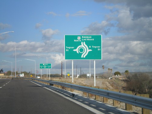
US-93 North Approaching Tegner St.
US-93 north approaching Tegner St. roundabout. Continue north on US-93 for Kingman and Las Vegas.
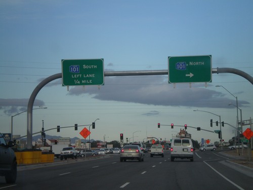
US-60 West at AZ-101 Loop
US-60 west at AZ-101 Loop. Turn right for AZ-101 Loop north. Continue ahead for AZ-101 Loop south. The AZ-101 Loop shields are blue here, although new AZ-101 Loop signs are traditional black and white.
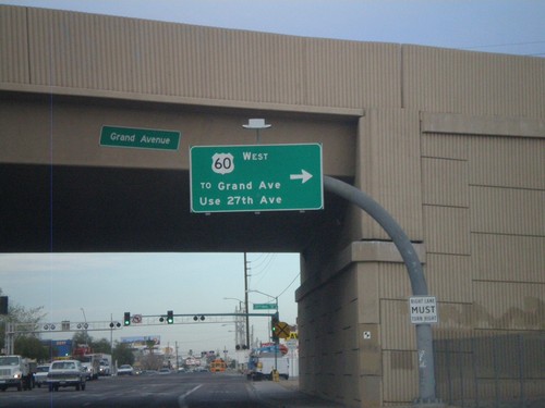
US-60 West - Thomas Road at 27th Ave.
US-60 west (Thomas Road) at 27th Ave. Turn right on 27th Ave. to continue on US-60 west.
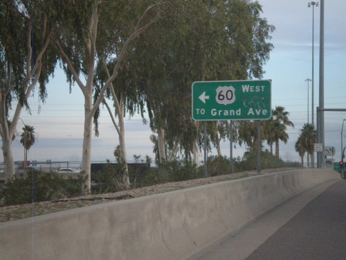
I-17 North - Exit 201 Offramp at US-60
I-17 North - Exit 201 offramp at US-60. Turn left for US-60/To Grand Ave.
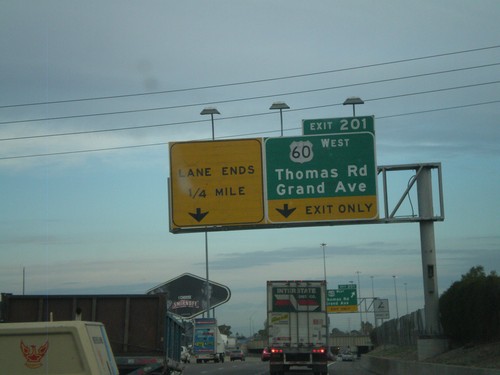
I-17 North - Exit 201
I-17 north at Exit 201 - US-60 West/Thomas Road/Grand Ave. US-60 west leaves I-17 north here.
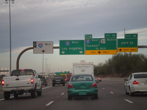
AZ-202 Loop West - Exits 1B and 1A
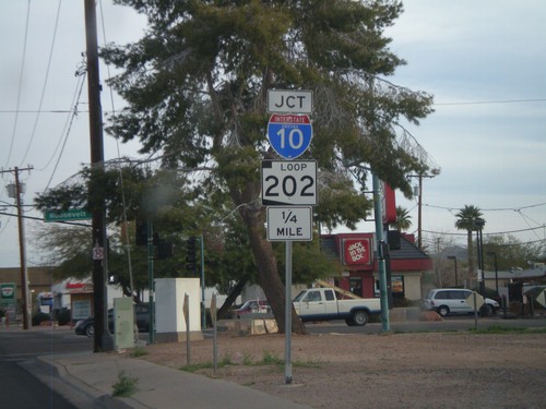
AZ-202 Loop west at Exit 1B - 24th St. Approaching Exit 1A - I-10 East/Tucson/AZ-51 North. Continue ahead for I-10 west for Los Angeles. The left most lane is for I-10 west HOV traffic.
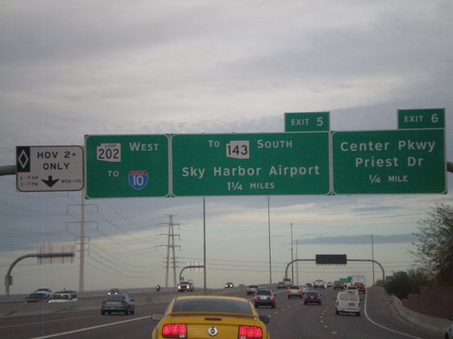
AZ-202 Loop West Approaching Exits 6 and 5
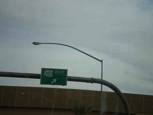
AZ-202 Loop west approaching Exit 6 - Center Parkway/Priest Drive and Exit 7 - To AZ-143 South/Sky Harbor Airport. AZ-202 Loop continues west towards I-10. The left most lane is a HOV lane.
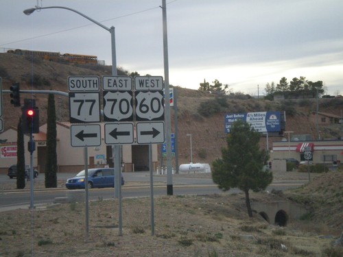
US-60 West/AZ-77 South at US-70
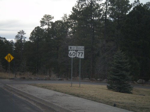
US-60 west/AZ-77 south at US-70. Turn left for US-70 and to continue south on AZ-77. Turn right to continue west on US-60.
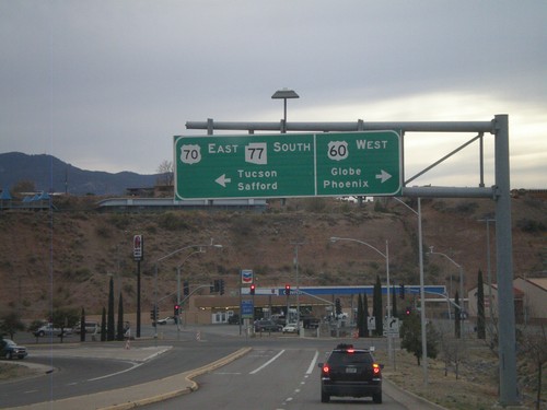
US-60 West/AZ-77 South Approaching US-70
US-60 West/AZ-77 South approaching US-70. Use US-60 west for Globe and Phoenix. Use US-70 west/AZ-77 south for Tucson (via AZ-77) and Safford (via US-70). This is the western end of US-70.
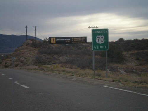
US-60 West/AZ-77 South Approaching US-70
US-60 West/AZ-77 south approaching US-70. This is the western end of US-70.
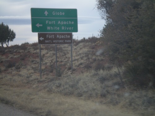
US-60 West/AZ-77 South at AZ-73
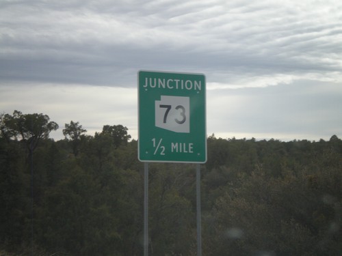
US-60 West/AZ-77 South at AZ-73 east to Fort Apache, White River, and Fort Apache National Historic Park. Continue west on US-60 for Globe.
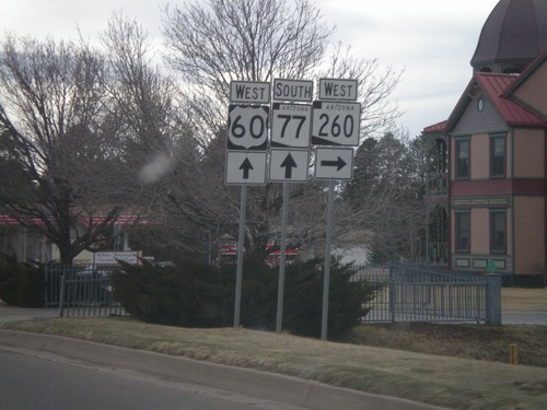
US-60 West/AZ-77 South/AZ-260 West at AZ-260
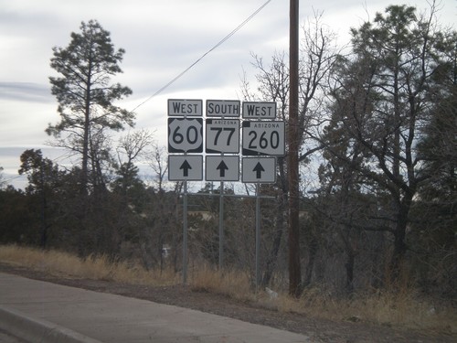
US-60 West/AZ-260 West/AZ-77 South at AZ-260. Turn right to continue on AZ-260. Continue straight for US-60 West/AZ-77 South.
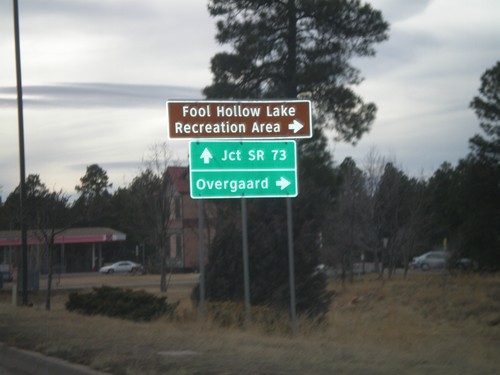
US-60/AZ-77/AZ-260 West at AZ-260
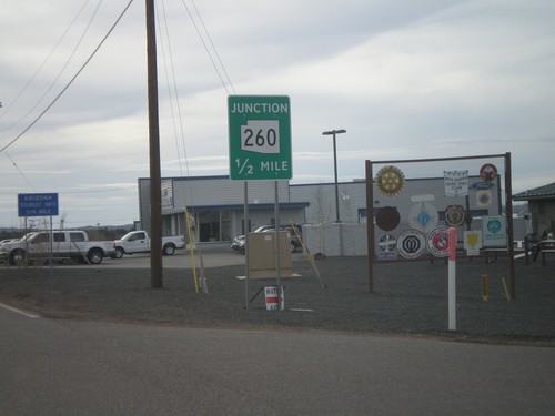
US-60/AZ-77/AZ-260 west at AZ-260 west to Overgaard and Fool Hollow Lake Recreation Area. US-60 West/AZ-77 South continues to AZ-73 Jct. AZ-260 west leaves US-60/AZ-77 here.
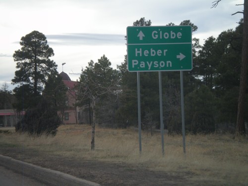
US-60 West/AZ-77 South/AZ-260 West at AZ-260
US-60 West/AZ-77 South/AZ-260 West at AZ-260. Use AZ-260 west for Heber and Payson. Continue on US-60 West/AZ-77 South for Globe.
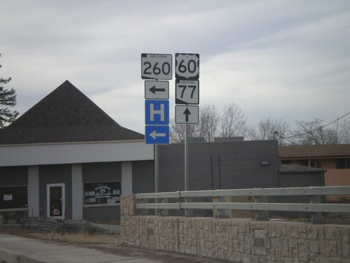
US-60 West/AZ-77 South at AZ-260
US-60 West/AZ-77 South at AZ-260. Turn left for AZ-260 west; continue straight for US-60 West/AZ-77 South/AZ-260 West.
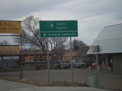
US-60 West/AZ-77 South at AZ-260
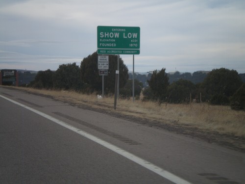
US-60 West/AZ-77 South at AZ-260. Use AZ-260 west for Pinetop/Lakeside. AZ-260 joins US-60 West/AZ-77 South through Show Low. Use US-60 West/AZ-77 South/AZ-260 West for Payson and Globe.
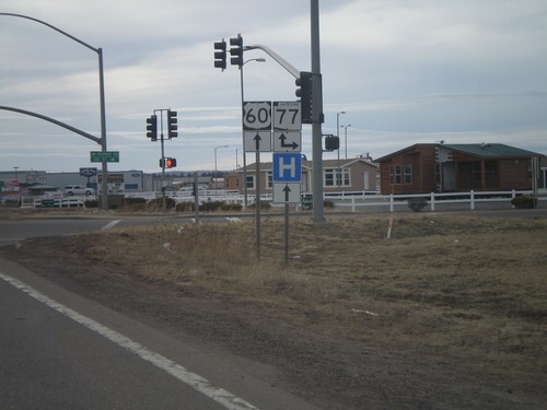
US-60 West at AZ-77
US-60 west at AZ-77. Turn right for AZ-77 north. Continue straight for US-60 west and AZ-77 south. AZ-77 joins US-60 west to Globe.
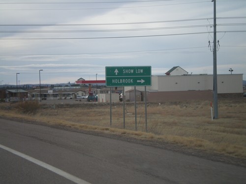
US-60 West Approaching AZ-77
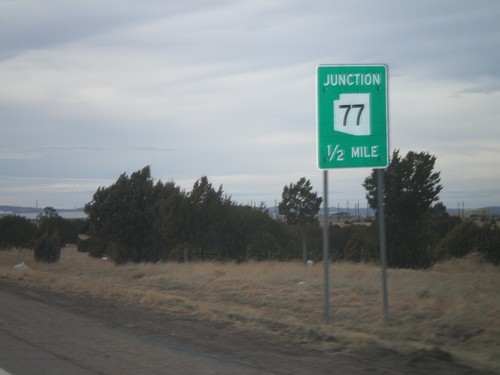
US-60 west approaching AZ-77. Use AZ-77 north for Holbrook. Continue west on US-60 and AZ-77 south for Show Low.
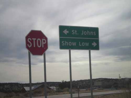
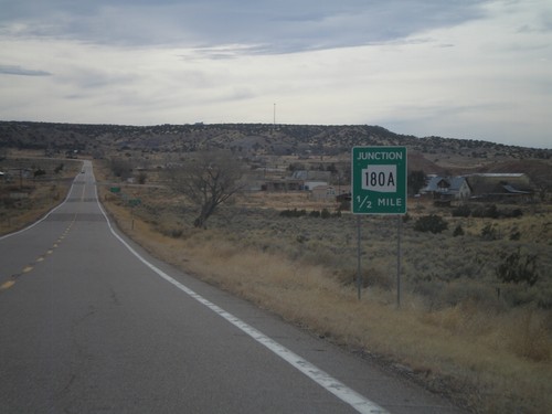
End AZ-180A East at AZ-61
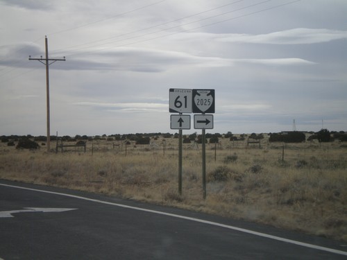
End AZ-180A East at AZ-61. Use AZ-61 west for Show Low; use AZ-61 east for St. Johns.
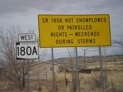
AZ-180A West - Winter Driving Warning
Warning on AZ-180A that the highway is not plowed nights or on weekends during storms.
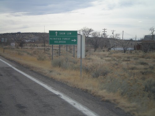
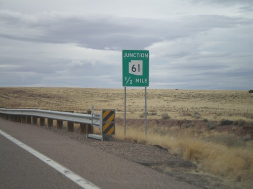
AZ-61 West At AZ-180A West
AZ-61 west at AZ-180A west. Use AZ-180A for Holbrook and Petrified Forest. Continue west on AZ-61 for Show Low.
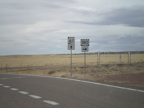
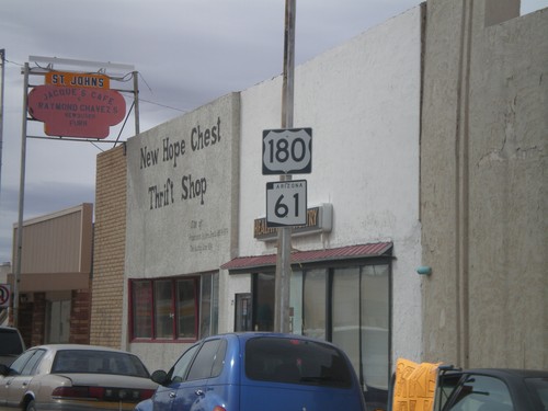
US-180 West/AZ-61 West at Split
US-180 West/AZ-61 West at US-180/AZ-61 split. Turn right for US-180 West; continue straight for AZ-61 West.
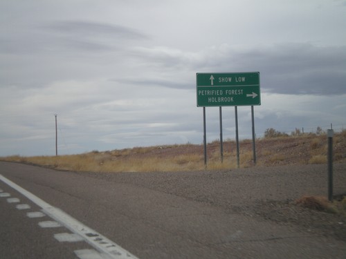
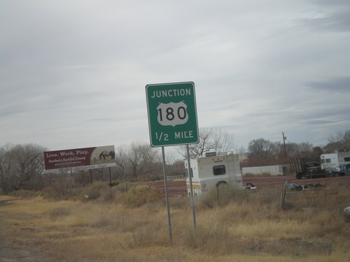
US-180 West/AZ-61 West at Split
US-180 West/AZ-61 West at US-180/AZ-61 split. Turn right for US-180 west to Holbrook and Petrified Forest (National Park). Continue straight on AZ-61 west for Show Low.
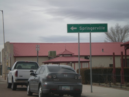
US-191 South/AZ-61 West at US-180
US-191 South/AZ-61 West at US-180. Turn left for US-180 East/US-181 South to Springerville.
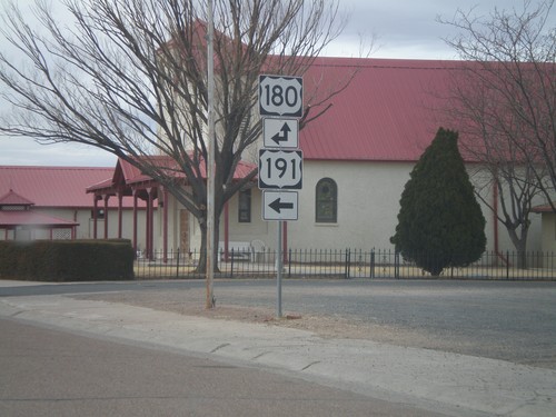
US-191 South/AZ-61 West at US-180
US-191 South/AZ-61 West at US-180. AZ-61 is not signed at this intersection. Turn left for US-191 South/US-180 East. Continue straight for US-180 West/AZ-61 West.
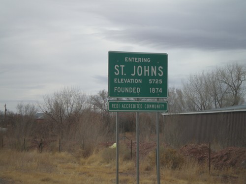
US-191 South/AZ-61 West - Entering St. Johns
Entering St. Johns on US-191 South/AZ-61 West. Elevation 5725 Feet. Founded in 1874. St. Johns is the county seat of Apache County.
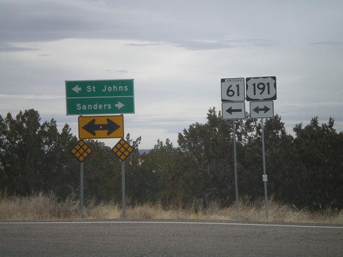
AZ-61 West at US-191
AZ-61 west at US-191. AZ-61 west joins US-191 south to St. Johns. Use US-191 South/AZ-61 West for St. Johns. Use US-191 North for Sanders.
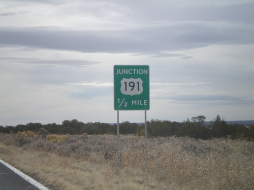
AZ-61 West Approaching US-191
AZ-61 west approaching US-191. AZ-61 west joins US-191 south to St. Johns.
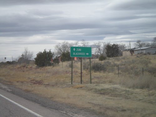
NM-53 West - Black Rock Jct.
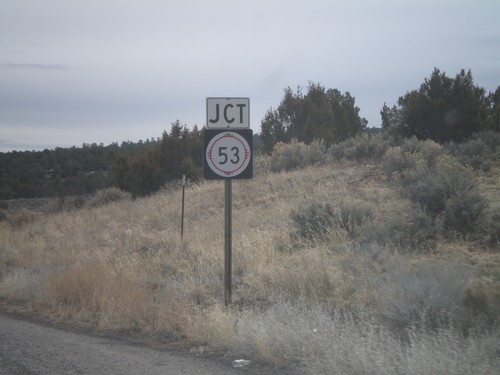
NM-53 at Black Rock jct. Turn right for Black Rock. Continue west on NM-53 for Zuni.
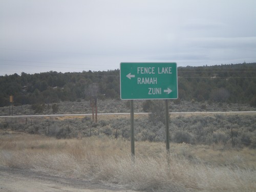
End NM-602 South At NM-53
End NM-602 South at NM-53. Use NM-53 west for Zuni; use NM-53 east for Ramah and Fence Lake.
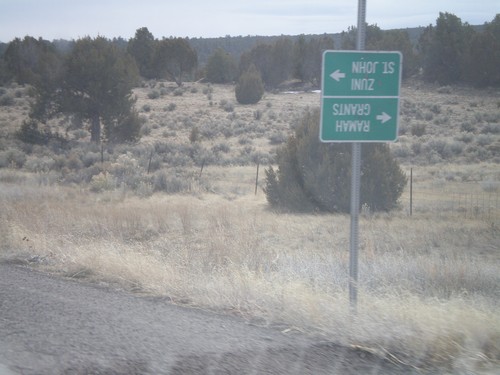
NM-602 South at Zuni-4
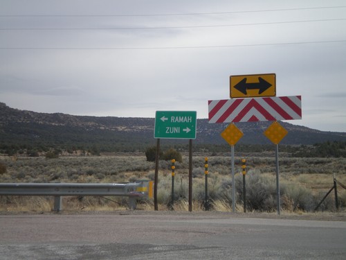
NM-602 south at Zuni-4 south. At the time of this photograph, Zuni-4 was closed for bridge repair, so the guide sign was turned upside town. During normal times, use Zuni-4 south for Zuni and St. John. Continue south on NM-602 for Ramah and Grants.
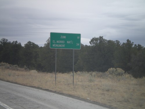
NM-602 South - Distance Marker
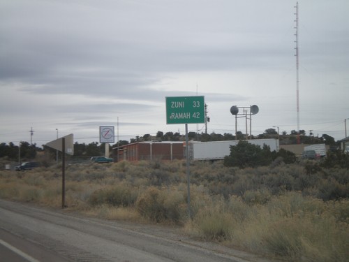
Distance marker on NM-602 south to Zuni, and El Morro National Monument.
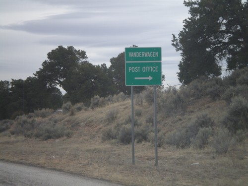
NM-602 South - Vanderwagen
NM-602 south at the small settlement of Vanderwagen. Turn right for the Post Office.
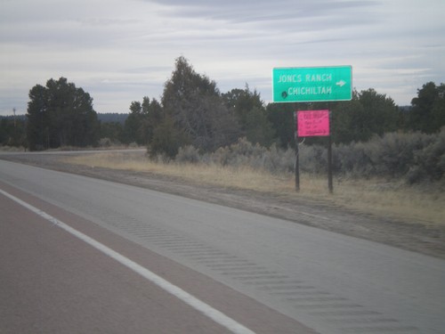
NM-602 South at Jones Ranch Road
NM-602 south at Jones Ranch Road jct. to Jones Ranch and Chichiltah.
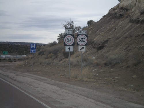
NM-602 South Approaching NM-564
NM-602 south approaching NM-564. Turn right to continue south on NM-602. NM-564 is the eastern belt route around Gallup.
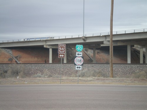
I-40 East Exit 26 offramp at NM-118
I-40 east Exit 26 offramp at NM-118/BL-40. NM-118 is the route of former US-66.
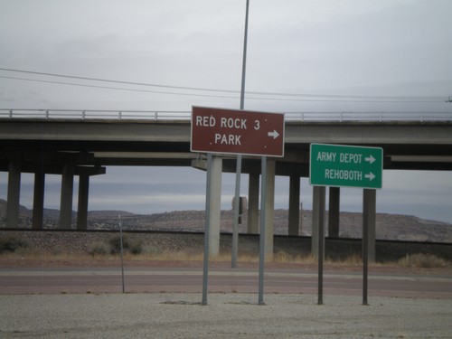
I-40 East Offramp at BL-40/NM-118
I-40 east offramp at BL-40/NM-118. Use NM-118 east for Army Depot. Rehoboth, and and Red Rock Park.
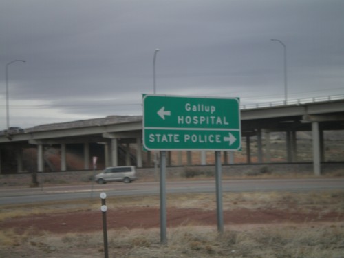
I-40 East at Exit 26 Offramp
I-40 east at Exit 26 Offramp. Turn right for State Police; turn left for Gallup and Hospital.
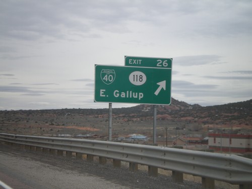
I-40 East - Exit 26
I-40 east at Exit 26 - BL-40/NM-118/East Gallup. This is the eastern end of the Gallup business loop.
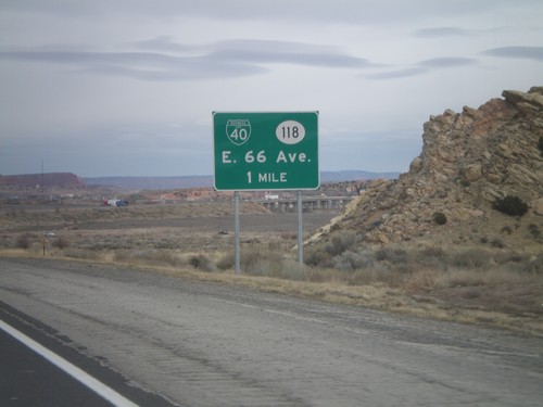
I-40 East Approaching Exit 26
I-40 east approaching Exit 26 - BL-40/NM-118/E. 66 Ave. The actual exit text is for East Gallup.
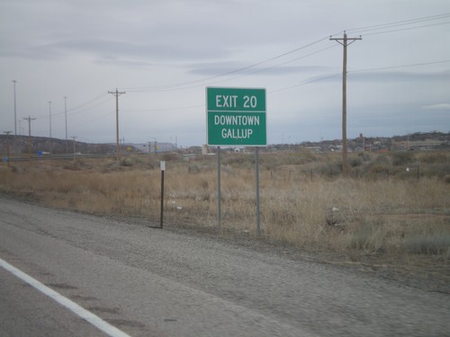
I-40 East Approaching Exit 20
I-40 east approaching Exit 20 - Downtown Gallup. The advance signs to Exit 20 are much more detailed then the actual exit name, which is Munoz Blvd.
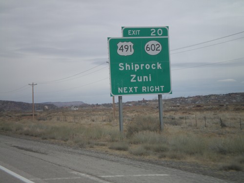
I-40 East Approaching Exit 20
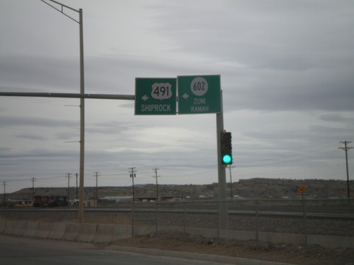
I-40 east approaching Exit 20 - US-491/NM-602/Shiprock/Zuni. The advance signs to Exit 20 are much more detailed then the actual exit name, which is Munoz Blvd.
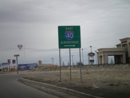
NM-118 East at I-40 East Onramp
NM-118 east at I-40 east onramp, at Exit 16. Use I-40 east for Albuquerque.
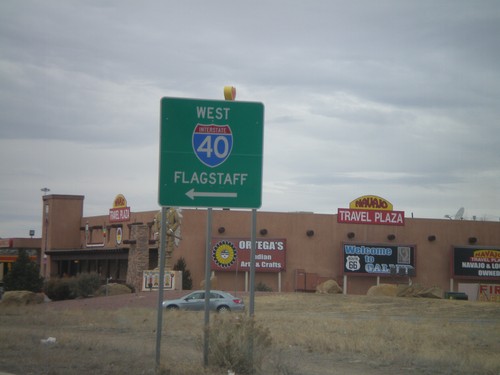
BL-40/NM-118 West at I-40 West
BL-40/NM-118 west at I-40 west to Flagstaff. This is the western end of the Gallup business loop.
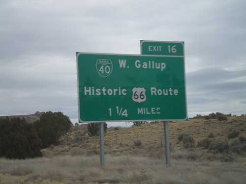
I-40 East Approaching Exit 16
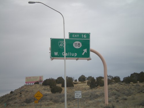
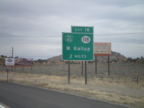
I-40 east approaching Exit 16 - NM-118/BL-40/West Gallup. Use Exit 16 for BL-40/West Gallup/Historic US-66 Route.
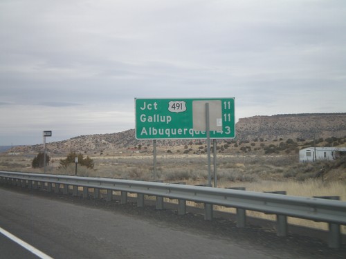
Distance Marker on I-40 East
Distance marker on I-40 east. Distance to US-491, Gallup, and Albuquerque.
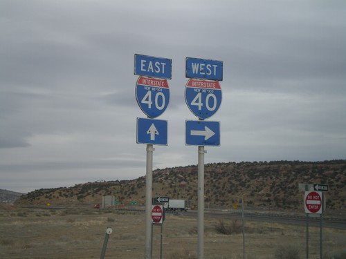
NM-118 West at I-40 East
NM-118 west at I-40 east (Exit 8) onramp. Continue west on NM-118 for westbound I-40 access.
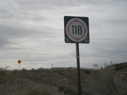
NM-118 West
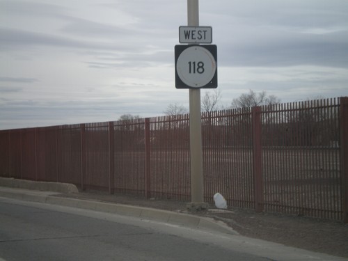
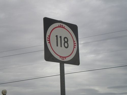
NM-118 west shield, just west of I-40 (Exit 8) onramps. This sign is been spray painted, as has many other signs in the Gallup area.
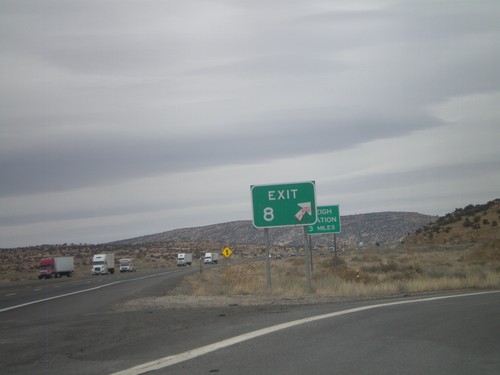
I-40 East - Exit 8
I-40 east at Exit 8. Eastbound, Exit 8 has no advanced signage, just the Exit 8 gore sign. Westbound, Exit 8 is signed as Manuelito/Defiance. Exit 8 is the first New Mexico exit eastbound on I-40. This exit connects to NM-118, which serves as a frontage road to I-40.
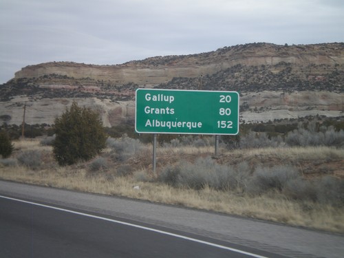
I-40 East - Distance Marker
First distance marker inside New Mexico on I-40 eastbound. Distance to Gallup, Grants, and Albuquerque.
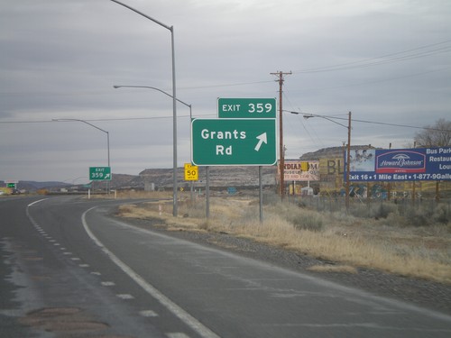
I-40 East - Exit 359
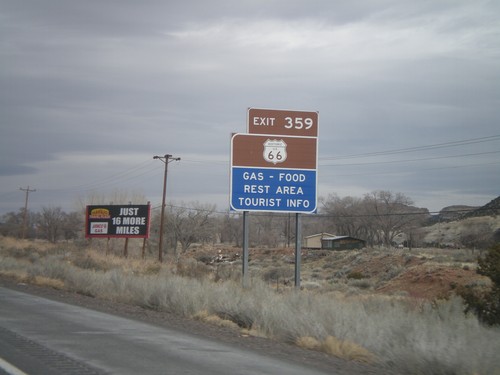
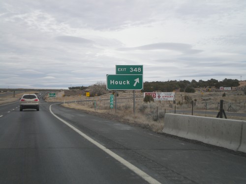
I-40 east at Exit 359 - Grants Road. This is the last Arizona exit on I-40 eastbound.
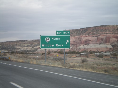
I-40 East - Exit 357
I-40 east at Exit 357 - Navajo IR-12 North/Window Rock. Window Rock is the capitol of the Navajo Nation.
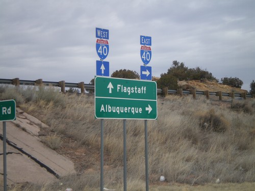
I-40 Onramp at Exit 346
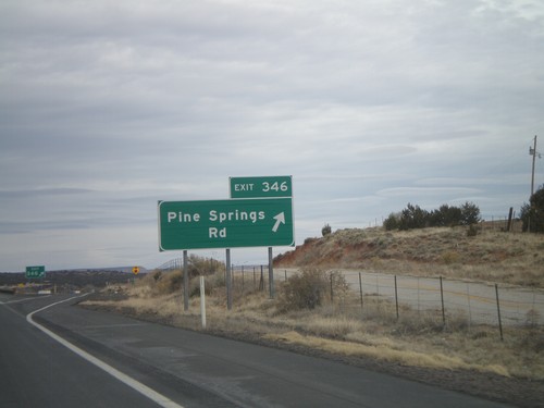
I-40 onramp at Exit 346. Use I-40 west for Flagstaff; use I-40 east for Albuquerque.
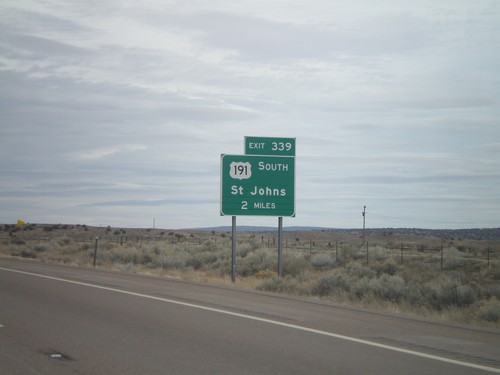
I-40 East Approaching Exit 339
I-40 east approaching Exit 339 - US-191 South/St. Johns. US-191 south leaves I-40 eastbound at Exit 339.
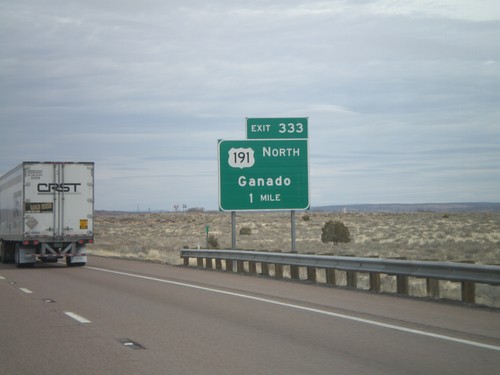
I-40 East Approaching Exit 333
I-40 east approaching Exit 333 - US-191 North/Ganado. US-191 south joins I-40 eastbound for six miles.
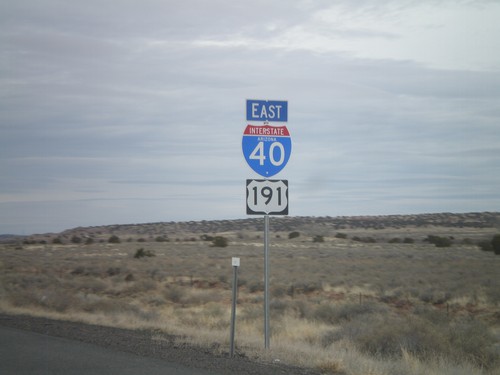
I-40 East/US-191 South
I-40 East/US-191 south in Apache County, Arizona. The US-191 shield is actually in error, because US-191 does not join I-40 eastbound for another 3 miles.
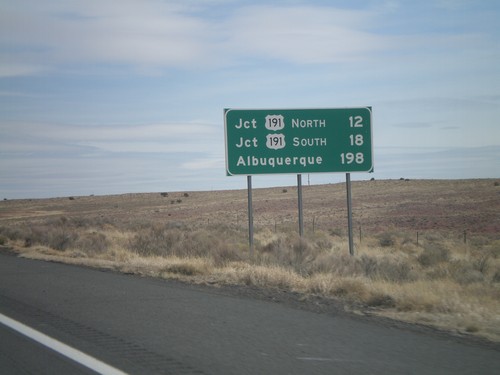
I-40 East - Distance Marker
Distance marker on I-40 east to Jct. US-191 North, Jct. US-191 South, and Albuquerque.
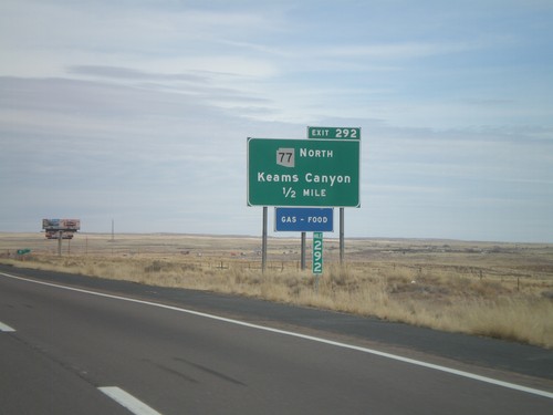
I-40 East - Exit 292
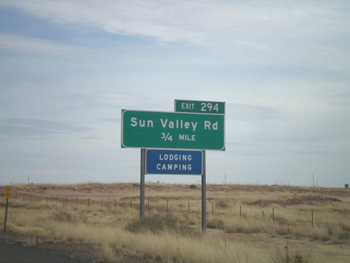
I-40 east at Exit 292 - AZ-77 North/Keams Canyon. AZ-77 north leaves I-40 here, and heads north onto the Hopi Indian Reservation.
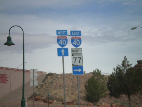
BL-40 East/AZ-77 North at I-40
BL-40 East/AZ-77 North at I-40 freeway entrance. Use I-40 west for Flagstaff; use I-40 east for Albuquerque. AZ-77 joins I-40 east through Holbrook.
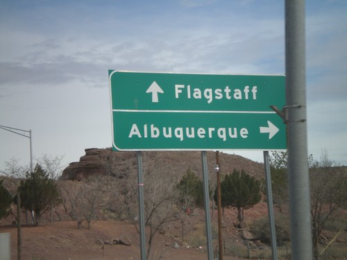
BL-40 East/AZ-77 North at I-40
BL-40 East/AZ-77 North at I-40 freeway entrance. Use I-40 west for Flagstaff; use I-40 east for Albuquerque. AZ-77 joins I-40 east through Holbrook.
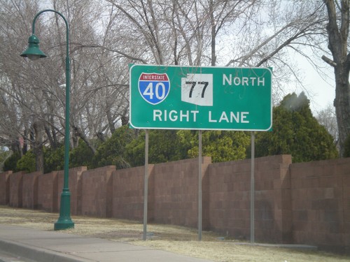
BL-40 East/AZ-77 North Approaching I-40
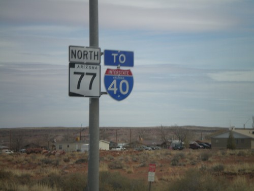
BL-40 East/AZ-77 North approaching I-40. AZ-77 joins I-40 east through Holbrook.
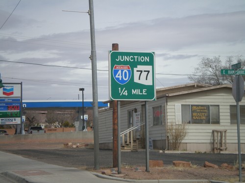
AZ-77 North/BL-40 East Approaching I-40
AZ-77 North/BL-40 East approaching I-40. AZ-77 north joins I-40 east to the east side of Holbrook.
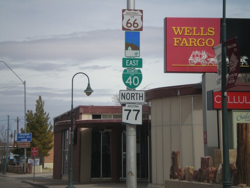
BL-40 East/AZ-77 North - Arizona Scenic Byway
BL-40 east/AZ-77 north in Holbrook. BL-40 in Holbrook follows the historic route of US-66 and is signed as an Arizona Scenic Byway.
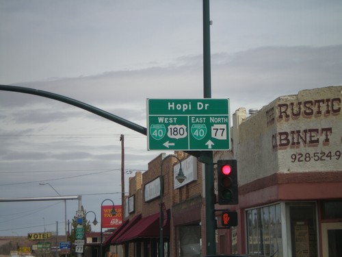
US-180 West/AZ-77 North at BL-40
US-180 West/AZ-77 North at BL-40. Continue straight for BL-40 East/AZ-77 North (Navajo Blvd.). Turn left for BL-40 West/US-180 West (Hopi Drive).
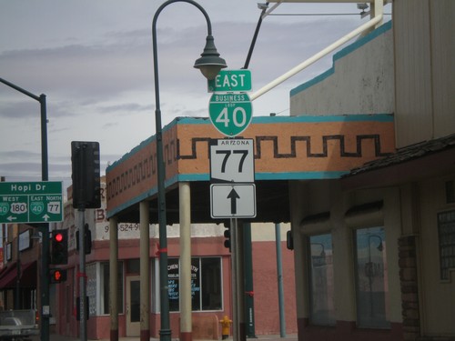
AZ-77 North/US-180 West at BL-40
AZ-77 North/US-180 West at BL-40 in downtown Holbrook. Continue straight on Navajo Blvd. for AZ-77 North/BL-40 East. Turn left on Hopi Drive for US-180 West/BL-40 west.
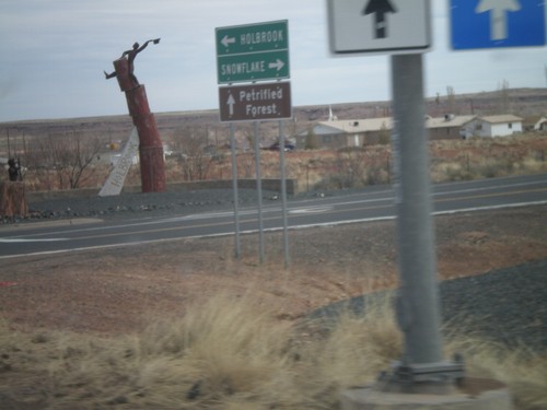
South Apache Dr. at AZ-77 and US-180
S. Apache Dr. at AZ-77 and US-180. Use AZ-77 south for Snowflake; use AZ-77 north/US-180 west for Holbrook; use US-180 east for Petrified Forest.
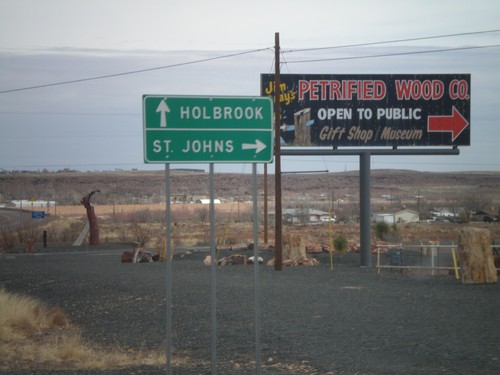
AZ-77 North at US-180
AZ-77 north at US-180. Use US-180 east for St. Johns; use US-180 west/AZ-77 north for Holbrook.
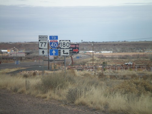
AZ-77 North at US-180
AZ-77 north at US-180. Turn right for US-180 east; continue north on AZ-77 for US-180 east to I-40.
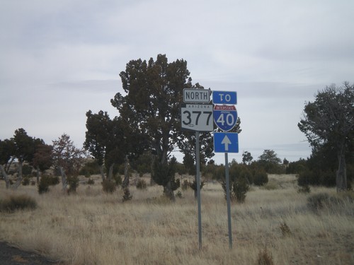
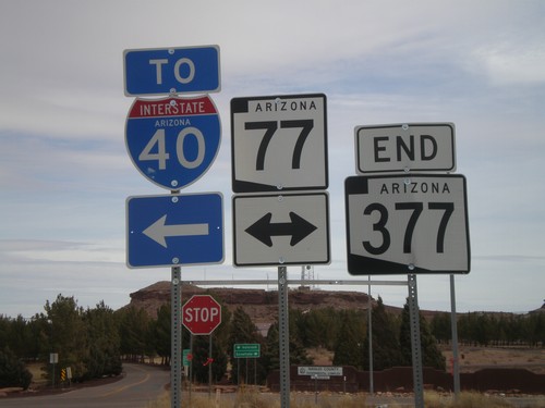
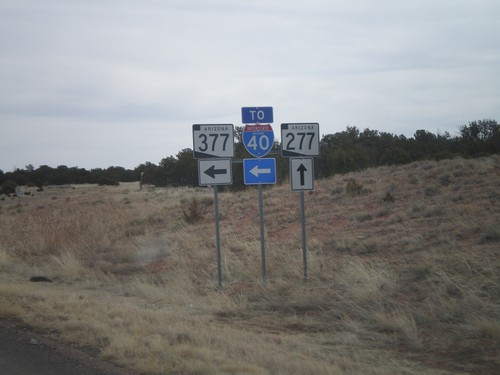
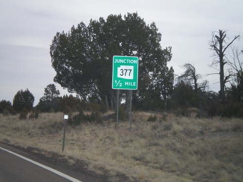
AZ-377 North To I-40
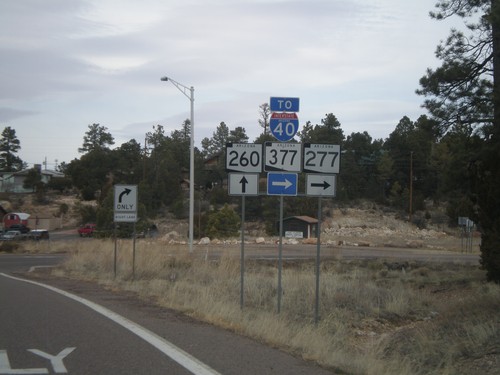
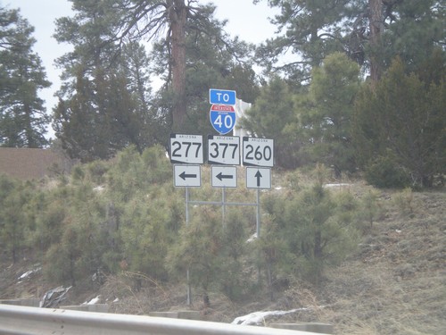
AZ-377 north to I-40. Many of the shields along AZ-277 and AZ-377 north between Heber and Holbrook have a To I-40 shield in addition to the state highway shield.
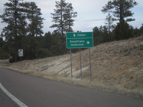
AZ-260 West at AZ-277
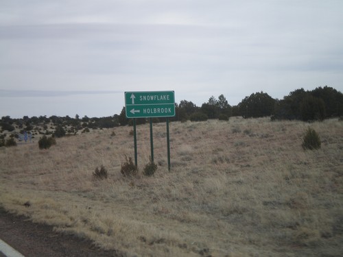
AZ-260 west at AZ-277. Use AZ-277 north for Snowflake and Holbrook. Continue west on AZ-260 for Heber.
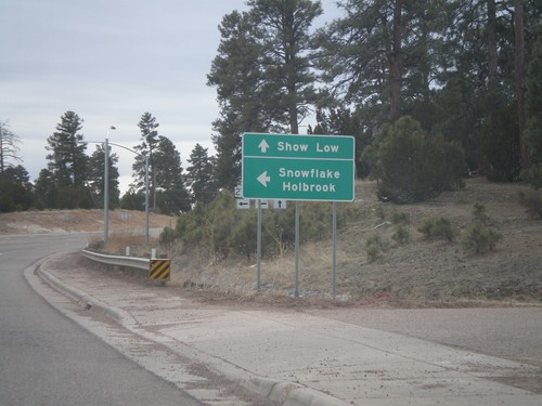
AZ-260 West at AZ-277 North
AZ-260 east at AZ-277 north to Snowflake and Holbrook. Continue east on AZ-260 for Show Low.
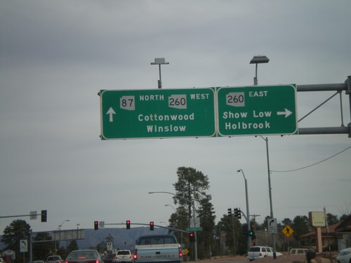
AZ-87 North at AZ-260
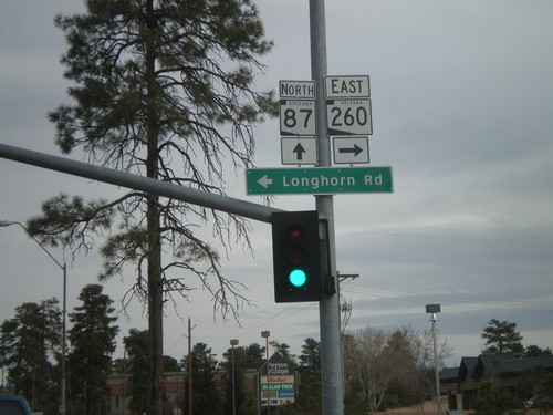
AZ-87 north at AZ-260. Turn right for AZ-260 east for Show Low and Holbrook. Continue straight for AZ-260 west/AZ-87 north for Cottonwood (via AZ-260) and Winslow (via AZ-87). AZ-260 west joins AZ-87 north to the top of the Mogollon Rim.
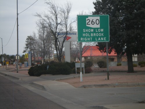
AZ-87 North Approaching AZ-260
AZ-87 north approaching AZ-260. Use AZ-260 east for Holbrook and Show Low.
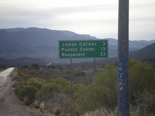
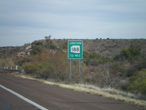
AZ-188 South - Distance Marker
Distance marker on AZ-188 south to Jakes Corner, Punkin Center, and Roosevelt.
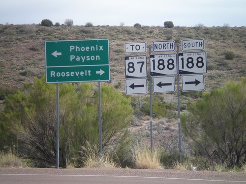
AZ-188 Jct. Leaving Mazatzal Rest Area
AZ-188 junction leaving Mazatzal Rest Area. Turn right for AZ-188 South to Roosevelt. Turn left for AZ-188 North for AZ-87, Phoenix, and Payson.
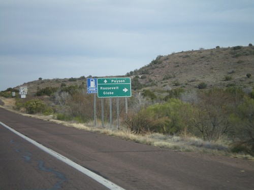
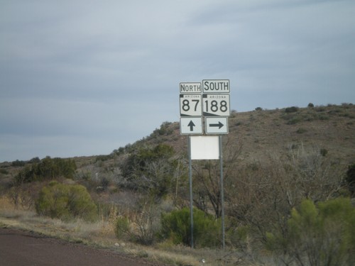
AZ-87 North at AZ-188
AZ-87 north at AZ-188. Use AZ-188 for Roosevelt and Globe. Continue north on AZ-87 for Payson.
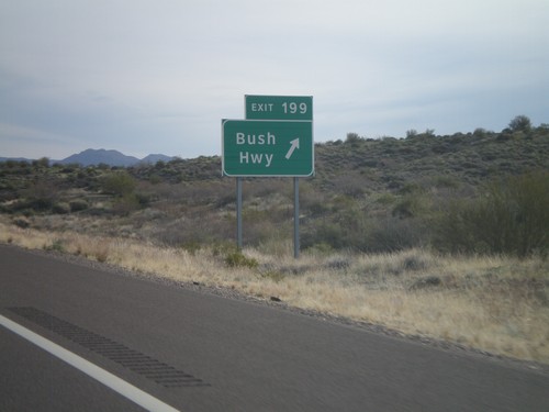
AZ-87 North - Exit 199
AZ-87 North at Exit 199 - Bush Highway. This is the only interchange along AZ-87 between Mesa and Payson, although the highway is divided for almost the entire stretch.
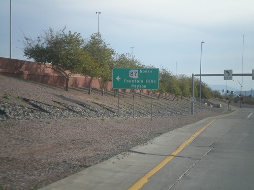
AZ-202 Loop East at AZ-87
AZ-202 Loop East, Exit 13 offramp, at AZ-87. Use AZ-87 north for Fountain Hills and Payson.
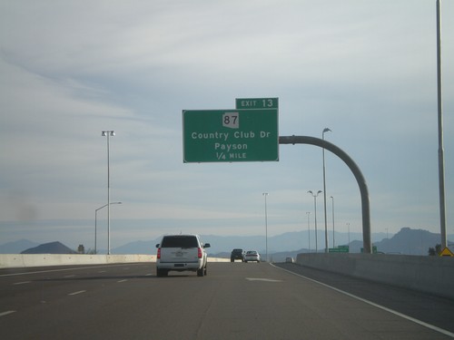
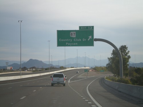
AZ-202 Loop East Approaching Exit 13
AZ-202 Loop East approaching Exit 13 - AZ-87/Country Club Drive/Payson.
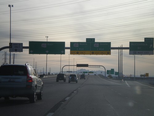
AZ-202 Loop East - Exits 8 and 9
AZ-202 Loop East at Exit 8 - McClintock Road. Approaching Exit 9 - AZ-101 Loop. The left lane is designated for HOV traffic.
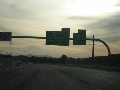
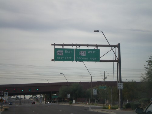
AZ-202 Loop East Approaching Exits 2 and 3
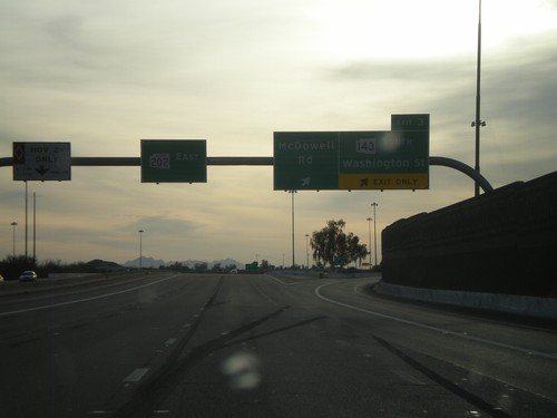
AZ-202 Loop East approaching Exit 2 - 40th St./44th St. Approaching Exit 3 - AZ-143 South/McDowell Road/Washington St.
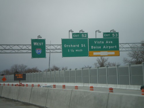
I-84 West - Exits 53 and 52
I-84 west at Exit 53 - Vista Ave./Boise Airport and approaching Exit 52 - Orchard St. The stretch of I-84 between Broadway and Orchard St. is being widened and the interchanges at Exit 52 and Exit 53 are being redesigned. The new westbound lanes and ramps are still under construction in this photograph.
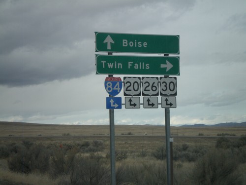
End BL-84 East at I-84 (Exit 90)
End BL-84 east at I-84, Exit 90 onramps. Use I-84/US-20/US-26/US-30 east for Twin Falls; use I-84/US-20/US-26/US-30 west for Boise. This is the western end of the Mountain Home business loop.
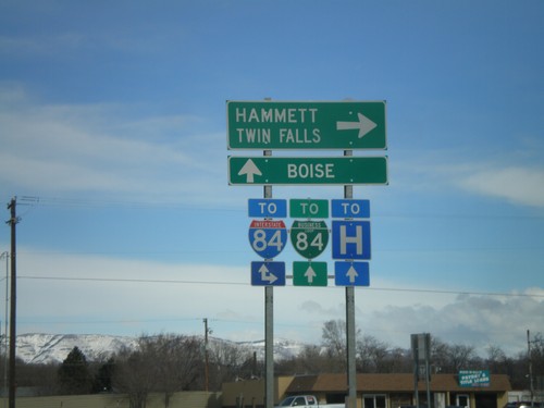
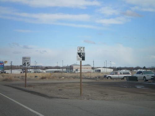
ID-51 North At Old US-30
ID-51 north at Old US-30. The Mountain Home business loop used to follow Old US-30 east to I-84. The business loop has been re-routed to follow ID-51 to I-84 instead. Turn right on Old US-30 for I-84 east towards Hammett and Twin Falls. Continue on ID-51 north for I-84/BL-84 and Boise.
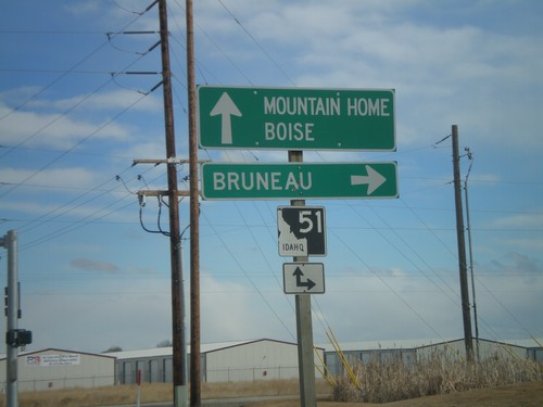
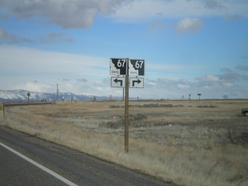
End ID-67 East At ID-51
End ID-67 east at at ID-51. Use ID-51 south for Bruneau. Use ID-51 north for Mountain Home and Boise.
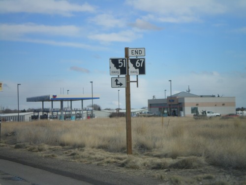
End ID-67 East at ID-51
End ID-67 east at ID-51. Turn right for ID-51 south; continue ahead for ID-51 north.
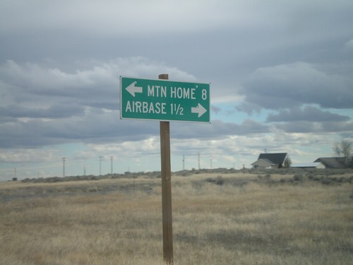
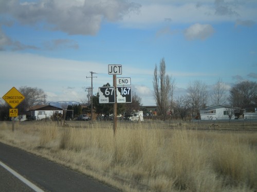
End ID-167 East at ID-67
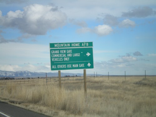
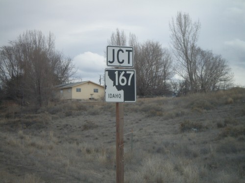
End ID-167 east at ID-67. Use ID-67 west for the Airbase (Mountain Home AFB). Use ID-67 east for Mountain Home.
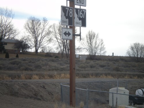
End ID-167 West at ID-78
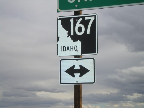
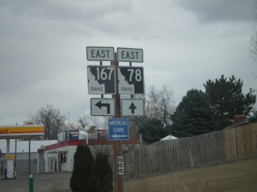
End ID-167 west at ID-78 in Grand View. ID-167 is the newest state highway in Idaho, formed in May of 2010. ID-167 replaces ID-67 between Mountain Home Air Force Base and Grand View.
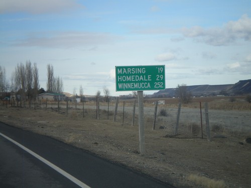
ID-78 West - Distance Marker
Distance marker on ID-78 west to Marsing, Homedale, and Winnemucca (Nevada).
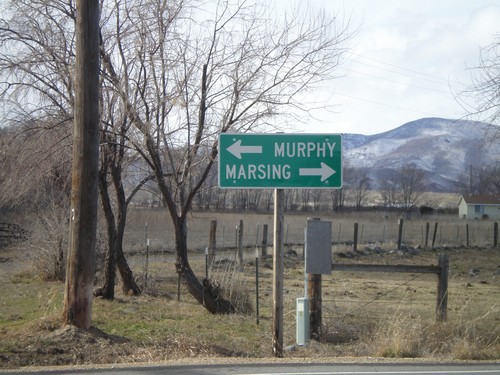
End ID-45 South at ID-78
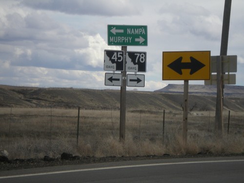
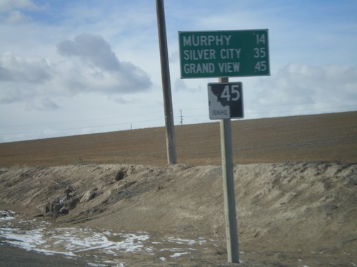
End ID-45 south at ID-78. Use ID-78 west for Marsing. Use ID-78 east for Murphy, the Owyhee County Seat.
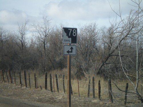
End ID-45 South at ID-78
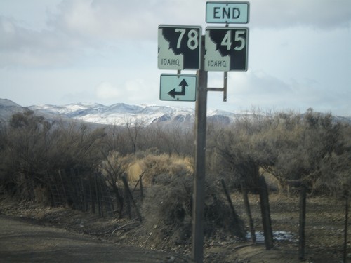
End ID-45 south at ID-78. A short connector road links ID-45 south with ID-78 west.
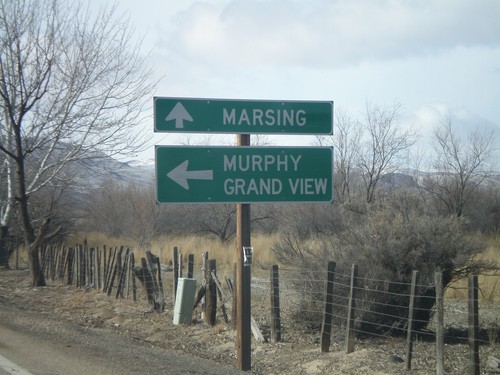
End ID-45 South at ID-78
End ID-45 south at ID-78. Use ID-78 south for Murphy and Grand View. Use ID-78 north for Marsing.
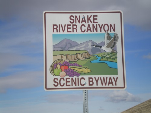
Snake River Canyon Scenic Byway
Snake River Canyon Scenic Byway on Map Rock Road West, at ID-45 junction.
Snake River Canyon Scenic Byway
Snake River Canyon Scenic Byway on Map Rock Road West, at ID-45 junction.
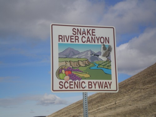
Snake River Canyon Scenic Byway
Snake River Canyon Scenic Byway on Map Rock Road West, at ID-45 junction.
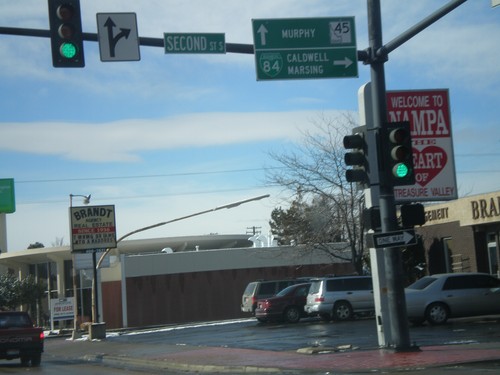
BL-84 West at ID-45
BL-84 West (11th Ave. South) at ID-45. Turn right on 2nd St. South to continue west on BL-84 towards Caldwell and Marsing. Continue ahead on 11th Ave. South for ID-45 south towards Murphy.
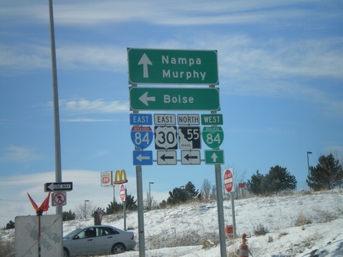
Begin BL-84 West at I-84 Exit 38 Onramp
Begin BL-84 West (Garrity Blvd.) at I-84/US-30/ID-55 onramp at Exit 38. Use I-84/US-30 East/ID-55 north for Boise. Continue on BL-84 west for Nampa and Murphy.
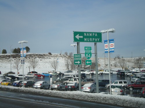
I-84 West - Exit 38 Offramp
I-84 west Exit 38 offramp. Turn left for BL-84 towards Nampa and Murphy. Turn right for the Idaho Center, an event complex.
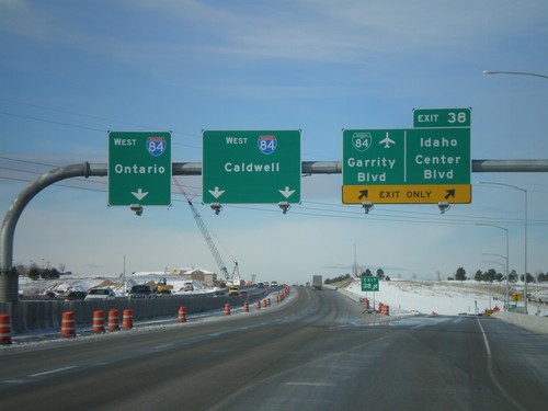
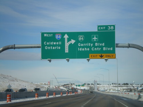
I-84 West - Exit 38
I-84 west at Exit 38 - BL-84/Garrity Blvd./Idaho Center Blvd. I-84 heads west towards Caldwell and Ontario (Oregon). Oddly, there are two different control cities for two different sets of lanes. Through Nampa, all through traffic is urged to use the left lanes, so it does not make since why Ontario bound traffic use the left most lane.
