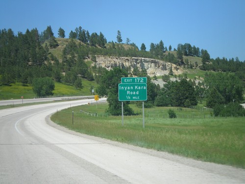
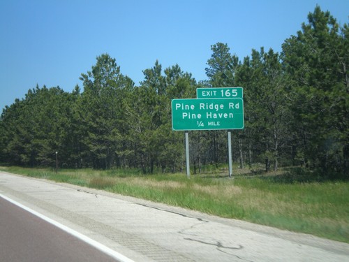
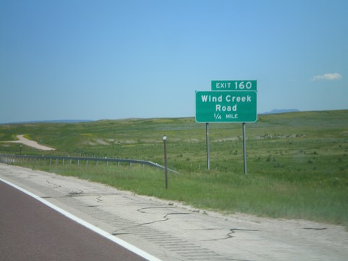
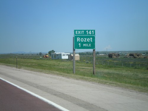
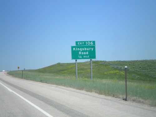
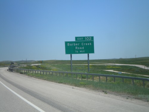
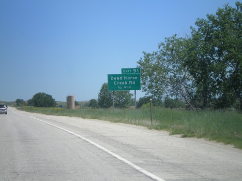
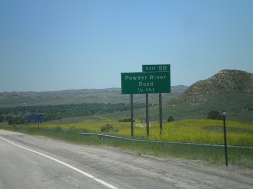
Signs From July 2011
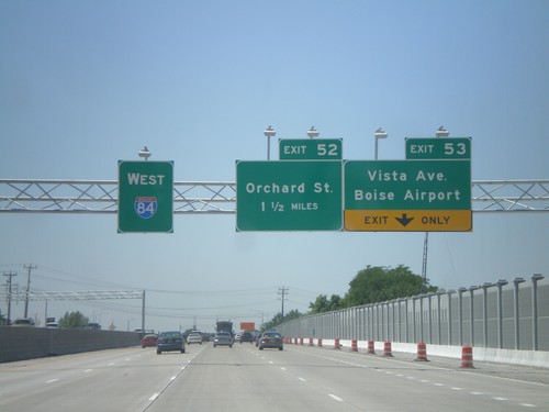
I-84 West - Exits 53 and 52
I-84 west at Exit 53 - Vista Ave./Boise Airport and approaching Exit 52 - Orchard St.
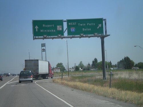
End BL-84 East at ID-24/I-84
End BL-84 (Burley and Heyburn) at I-84 west and ID-24. Use I-84 west for Twin Falls and Boise. Use ID-24 for Rupert and Minidoka.
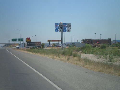
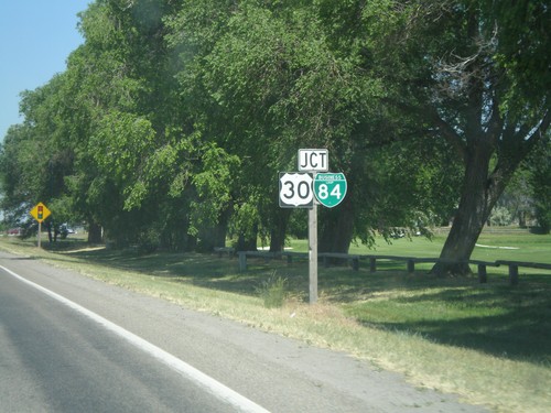
BL-84/US-30 East Approaching I-84/ID-24
BL-84/US-30 east approaching I-84 and ID-24. US-30 turns east onto I-84 and the road continues as ID-24 towards Rupert.
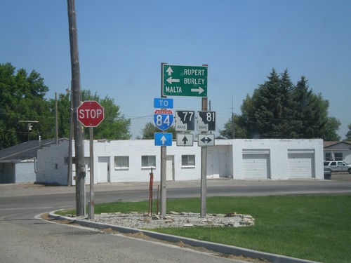
ID-77 North at ID-81
ID-77 north at ID-81. Use ID-77 north for Rupert and I-84; ID-81 south to Malta; and ID-81 north to Burley.
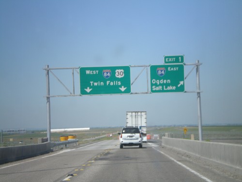
End I-86 West at I-84
End I-86 west at I-84. Merge right onto Exit 1 for I-84 East/Ogden/Salt Lake. Continue ahead for I-84/US-30 West/Twin Falls. This is the western end of I-86.
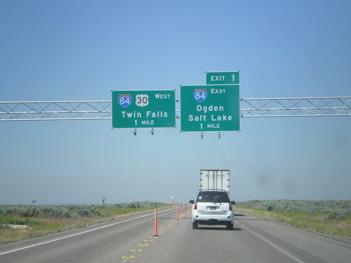
I-86 West at I-84
I-86 west at Exit 1 - I-84 East/Ogden/Salt Lake and I-84 West/US-30 West/Twin Falls. I-86 ends at I-84.
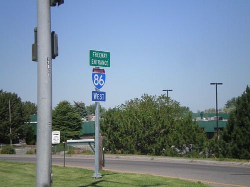
I-86 West - Freeway Entrance
I-86 west onramp at Exit 61. The Freeway Entrance type sign assembly is not common in Idaho.
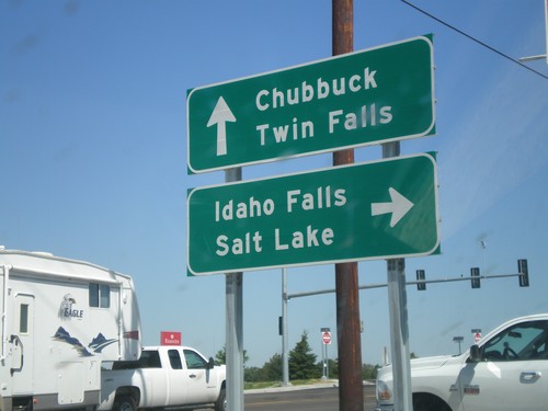
US-91 North at I-86
US-91 north at I-86 (Exit 61) onramp. Turn right on I-86 for Idaho Falls and Salt Lake. Continue over overpass for I-86 west to Twin Falls. US-91 continues north to Chubbuck.
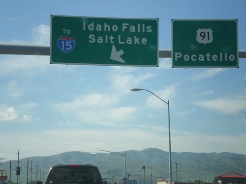
US-91 South at I-86 East (To I-15)
US-91 south at I-86 east (To I-15). Use I-86 east for Idaho Falls and Salt Lake. Continue south on US-91 for Pocatello. I-86 east ends at I-15 just east of here.
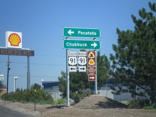
I-86 West - Exit 61 Offramp at US-91
I-86 west at Exit 61 offramp, US-91 jct. Use US-91 north for Chubbuck. Use US-91 south for Pocatello. US-91 north is part of the Oregon/California Trail - Goodale Cutoff.
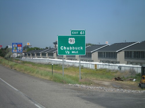
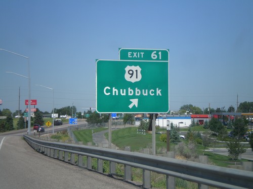
I-86 West - Exit 61
I-86 West approaching Exit 61 - US-91/Chubbuck. This is the first exit westbound on I-86.
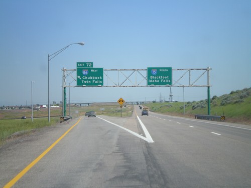
I-15 North at Exit 72
I-15 north at Exit 72 - I-86 West/Twin Falls/Chubbuck. Continue north on I-15 for Blackfoot and Idaho Falls. This is the last exit on I-15 north in the Pocatello area.
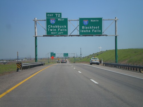
I-15 North - Exit 72
Approaching Exit 72 - I-86 west to Twin Falls and Chubbuck on I-15 north. Continue north on I-15 for Blackfoot and Idaho Falls.
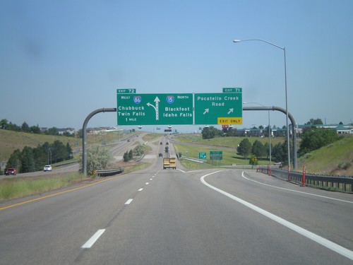
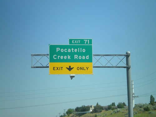
I-15 North - Exits 71 and 72
I-15 north at Exit 71 - Pocatello Creek Road. Approaching Exit 72 - I-86 West/Chubbuck/Twin Falls.
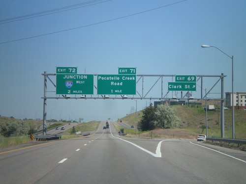
I-15 North - Exits 69, 71, and 72
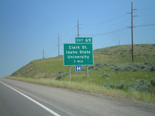
I-15 north at Exit 69 - Clark St. Approaching Exit 71 - Pocatello Creek Road, and Exit 72 - Junction I-86 West.
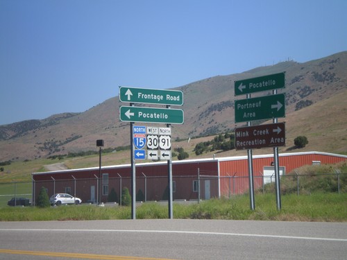
Frontage Road North at I-15 North
Frontage Road north at I-15/US-30/US-91 (Exit 67) north. Use I-15 north for Pocatello. Use Frontage Road north for Pocatello. Use Frontage Road south for Portneuf Area and Mink Creek Recreation Area.
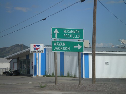
US-30 West at ID-34
US-30 west at ID-34 north to Wayan and Jackson. ID-34 joins US-30 west through Soda Springs towards McCammon and Pocatello.
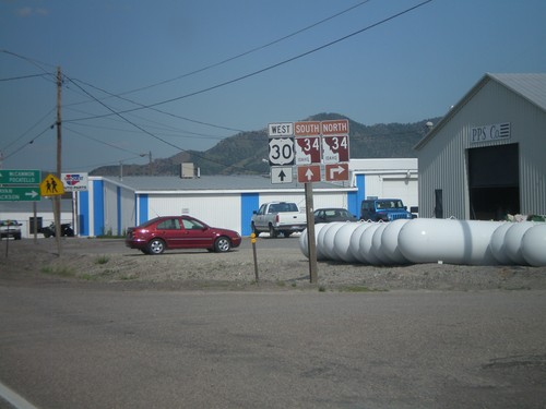
US-30 West at ID-34
US-30 west at ID-34 in Soda Springs. Turn right on ID-34 north for Afton and Jackson (both in Wyoming). ID-34 joins US-30 west through Soda Springs. Continue west on US-30/ID-34 for McCammon and Pocatello. ID-34 is part of the Pioneer Historic Byway, which is why the shield is a brown color.
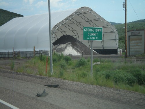
US-30 West - Georgetown Summit
US-30 west at Gorgetown Summit - Elevation 6,283 Feet. Idaho Transportation Maintenance Yard in the background.
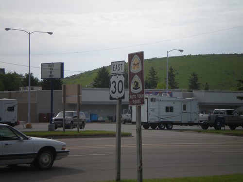
US-30 East - Oregon Trail/California Trail
US-30 east in Montpelier, with California and Oregon Trail Auto Tour Route signs.
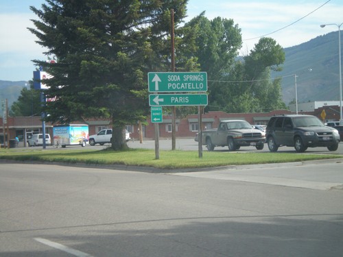
US-30 West at US-89
US-30 west at US-89. Turn left for US-89 south to Paris. Continue ahead for US-30 West towards Soda Springs and Pocatello, and US-89 north.
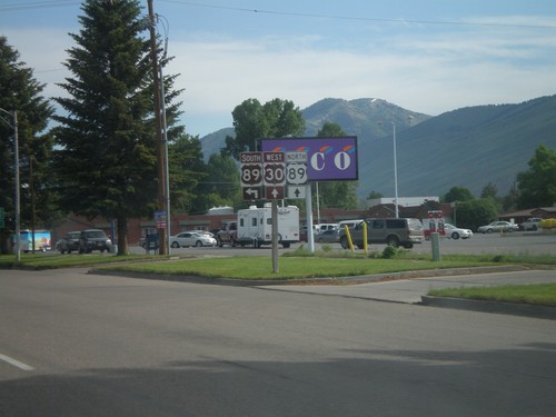
US-30 West at US-89
US-30 west at US-89 in Montpelier. US-89 joins US-30 through Montpelier. The Oregon Trail-Bear Lake Scenic Byway joins US-30 here, from US-89 south. That is why the US-89 south and US-30 west shields are brown.
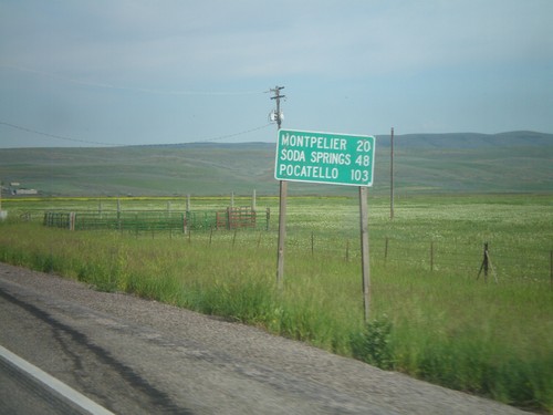
US-30 West - Distance Marker
First distance marker on US-30 west in Idaho. Distance to Montpelier, Soda Springs, and Pocatello.
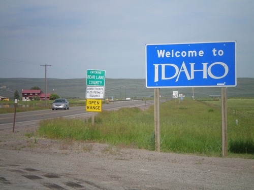
Welcome To Idaho - US-30 West
Welcome to Idaho on US-30 west. Entering Bear Lake County. Taken at the Wyoming-Idaho Border.
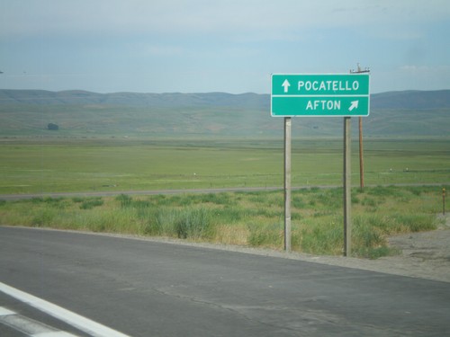
US-30 West/WY-89 North at WY-89
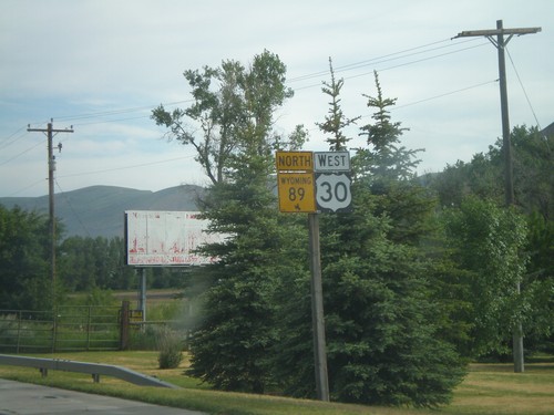
US-30 West/WY-89 North at WY-89 north jct. Use WY-89 north for Afton. Continue west on US-30 for Pocatello.
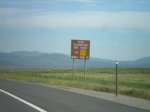
US-30 West/WY-89 North - Yellowstone Park Directions
US-30 West/WY-89 North approaching WY-89 North. Use WY-89 North for Yellowtone and Grand Teton National Parks.
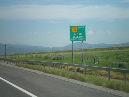
US-30 West/WY-89 North Approaching WY-89
US-30 West/WY-89 North approaching WY-89 North to Afton and Jackson.
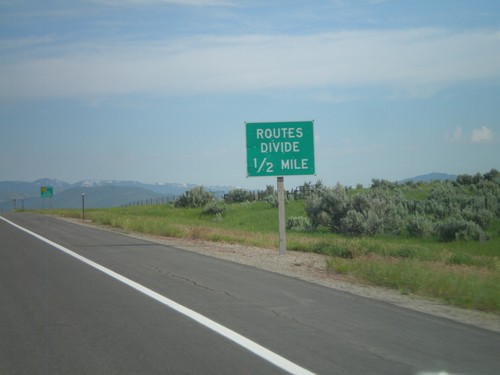
Routes Divide on US-30 West/WY-89 North
Routes Divide on US-30 West/WY-89 North approaching WY-89 North junction. The Routes Divide sign is common in Wyoming whenever a multiplexed route splits.
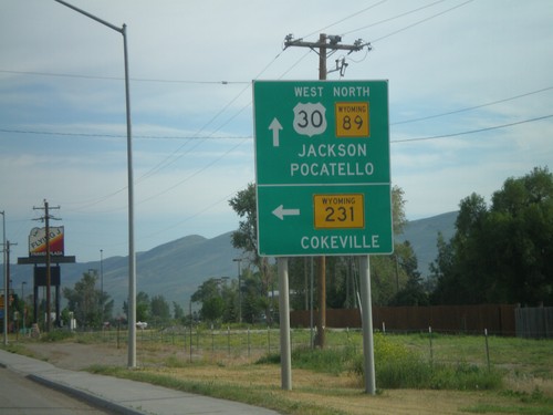
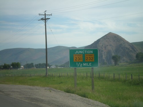
US-30 West/WY-89 North Approaching WY-231/WY-232
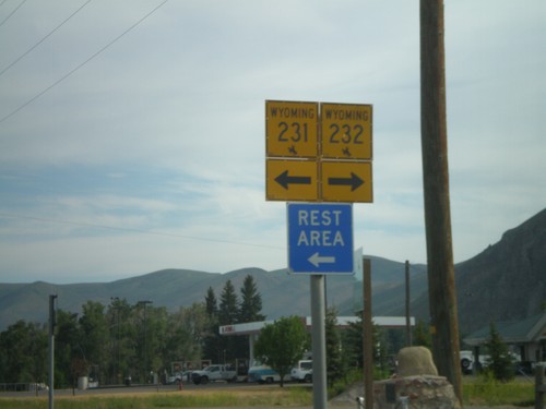
US-30 West/WY-89 North approaching WY-231/WY-232 (not signed). Use WY-231 for Cokeville. Continue on US-30 West/WY-89 North for Jackson and Pocatello.
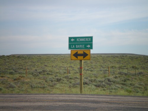
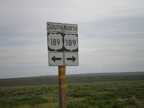
End WY-372 at US-189
End WY-372 at US-189. Use US-189 north for La Barge; use US-189 south for Kemmerer.
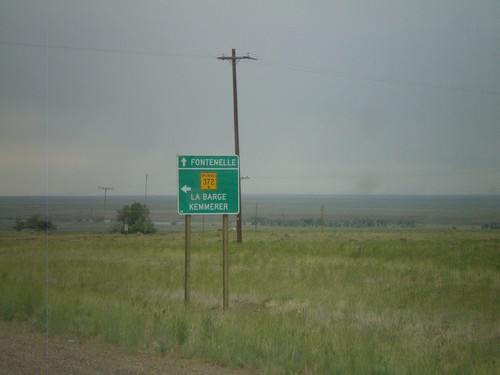
WY-372 in Fontenelle
WY-372 in Fontenelle. Turn left to continue on WY-372 towards La Barge and Kemmerer. Continue ahead for the community of Fontenelle.
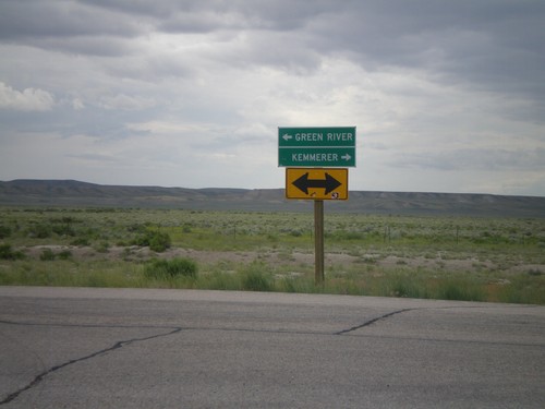
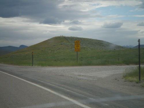
End WY-28 West at WY-372
End WY-28 west at WY-372. Use WY-372 north for Kemmerer; use WY-372 south for Green River.
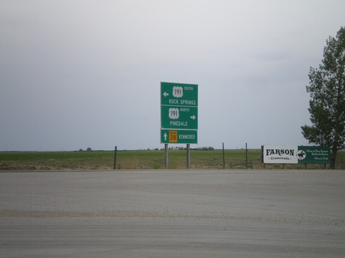
WY-28 West at US-191
WY-28 west at US-191. Use US-191 north for Pinedale; US-191 south for Rock Springs. Continue west on WY-28 for Kemmerer.
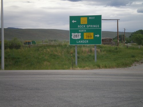
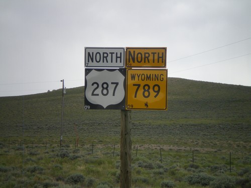
US-287/WY-789 North at WY-28
US-287 North/WY-789 North at WY-28. Turn left for WY-28 to Rock Springs; turn right for US-287/WY-789 to Lander.
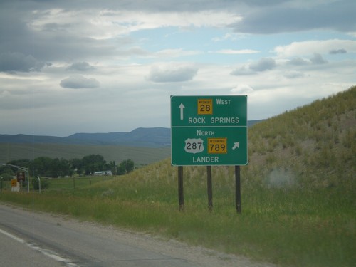
US-287/WY-789 North Approaching WY-28
US-287/WY-789 North approaching WY-28. Use US-287/WY-789 north for Lander. Use WY-28 west for Rock Springs.
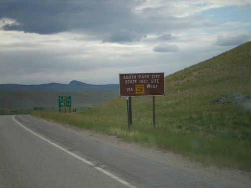
US-287/WY-789 North Approaching WY-28
US-287/WY-789 North approaching WY-28. Use WY-28 west for South Pass City State Historic Site.
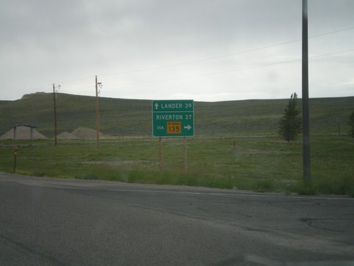
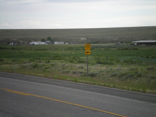
US-287/WY-789 North at WY-135
US-287/WY-789 North at WY-135 junction. Use WY-135 north for Riverton, continue on US-287/WY-789 for Lander. Taken in the community of Sweetwater Station.
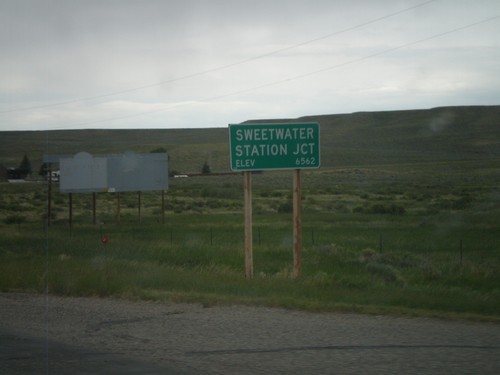
US-287/WY-789 North - Sweetwater Junction
Entering the community of Sweetwater Junction on US-287/WY-789 north. Elevation of Sweetwater Junction is 6562 Feet.
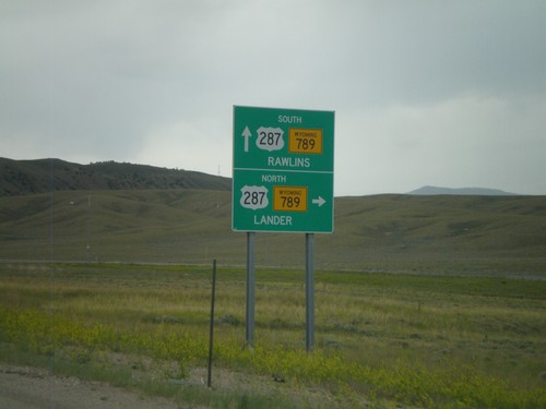
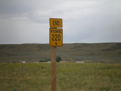
End WY-220 West At US-287/WY-789
End WY-220 West at US-287/WY-789. Use US-287/WY-789 North for Lander; use US-287/WY-789 South for Rawlins.
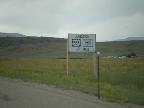
WY-220 West Approaching US-287/WY-789
WY-220 West approaching US-287/WY-789. This is a non standard Wyoming junction sign that is in black and white.
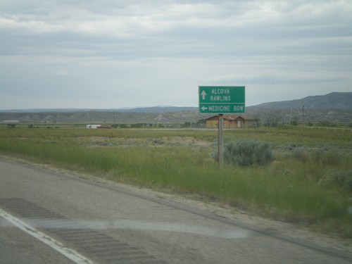
WY-220 West at WY-487
WY-220 west at WY-487 south to Medicine Bow. Continue west on WY-220 for Alcova and Rawlins.
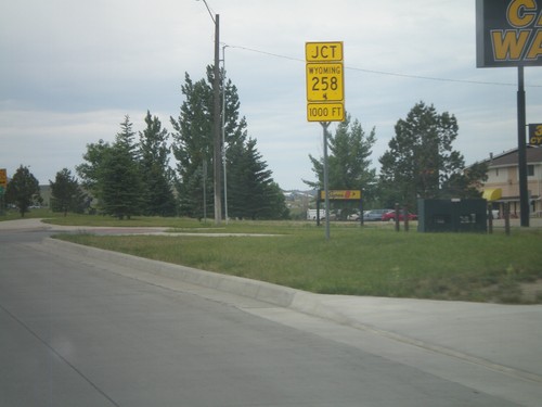
WY-220 West Approaching WY-258
WY-220 West (CY Ave) approaching WY-258 (Wyoming Blvd). WY-258 is the belt line across the south side of Casper.
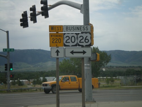
WY-220 West at Business US-20/Business US-26
WY-220 west at Business US-20/Business US-26 (1st Ave) in Casper.
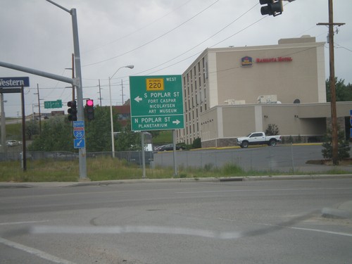
I-25 North Exit 188B at WY-220
I-25 North at Exit 188B, WY-220 Jct. Turn left for WY-220 West towards S. Poplar St., Fort Casper, and Nicolaysen Art Museum. Turn north on Poplar St. for the Casper Planetarium.
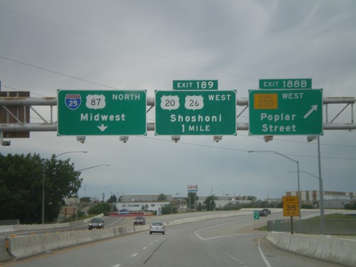
I-25 North - Exits 188B and 189
I-25 North at Exit 188B - WY-220 West/Poplar St. Approaching Exit 189 - US-20/US-26 West/Shoshoni. Continue north on I-25/US-87 North for Midwest.
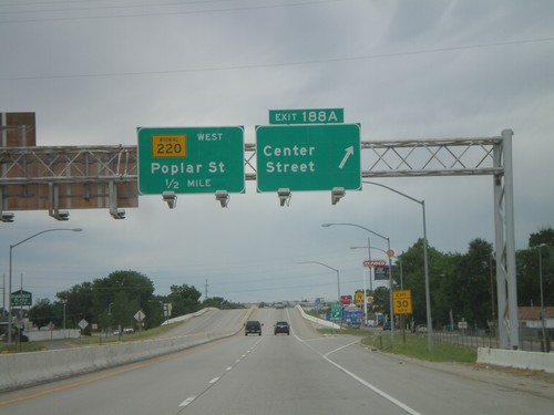
I-25 North - Exits 188A and 188B
I-25 north at Exit 188A - Center St. Approaching Exit 188B - WY-220 West/Poplar St. Center St. is the northern end of Business I-25 and Business US-87.
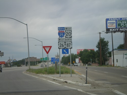
I-25/US-87 North/US-20/US-26 West Onramp
I-25/US-87 North/US-20/US-26 West Exit 187 onramp in Casper.
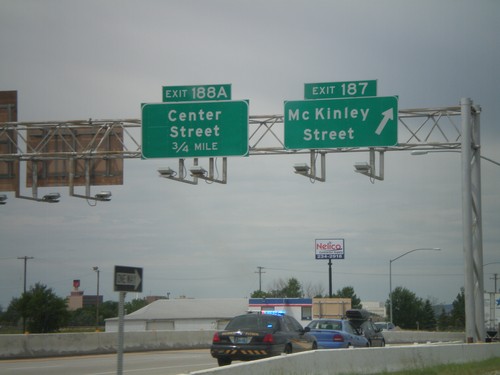
I-25 North - Exits 187 and 188A
I-25/US-87 North/US-20/US-26 West at Exit 187 - Mc Kinley St. Approaching Exit 188A - Center St.
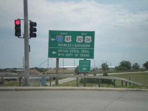
I-25 South at Bryan Stock Trail (Exit 186)
I-25 South/US-20 East/US-26 East/US-87 South at Bryan Stock Trail. US-20/US-26/US-87 leave I-25 south here. Turn left to return north on I-25 towards Midwest and Shoshoni.
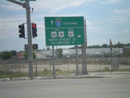
I-25 South at Bryan Stock Trail (Exit 186)
I-25 South/US-20 East/US-26 East/US-87 South at Bryan Stock Trail. US-20/US-26/US-87 leave I-25 south here. Turn right for US-20/US-26 west and US-87 south. Continue ahead for I-25 south for Cheyenne.
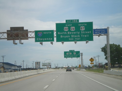
I-25 South Approaching Exit 186
I-25/US-87 South/US-20/US-26 East approaching Exit 186 - US-20/US-26 East/US-87 South/North Beverly St./Bryan Stock Trail. I-25 continues south towards Cheyenne.
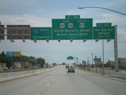
I-25 South - Exits 186 and 187
I-25 south approaching Exit 187 - McKinley St. Approaching Exit 186 - US-20 East/US-26 East/US-87 South/N. Beverly St./Bryan Stock Trail. I-25 continues south towards Cheyenne.
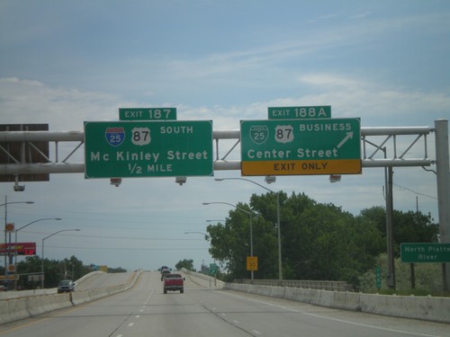
I-25 South - Exits 188A and 187
I-25 south at Exit 188A - BL-25/BL-87/Center St. Approaching Exit 187 - McKinley St. Exit 187 is signed as I-25 and US-87 south, but this is an error. Neither highway exit at McKinley St.
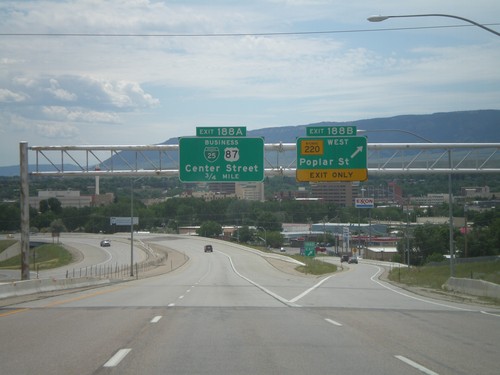
I-25 South - Exits 188B and 188A
I-25 south at Exit 188B - WY-220 West/Poplar St. Approaching Exit 188A - BL-25/BL-87/Center St.
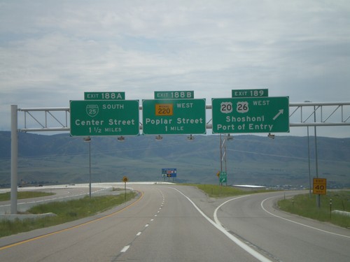
I-25 South - Exits 189, 188B, 188A
I-25/US-87 South at Exit 187 - US-20/US-26 West/Shoshoni/Port of Entry. Approaching Exit 188B - WY-220 West/Poplar St. Also approaching Exit 188A - BL-25 South/Center St. US-20/US-26 join I-25/US-87 south through Casper at this interchange.
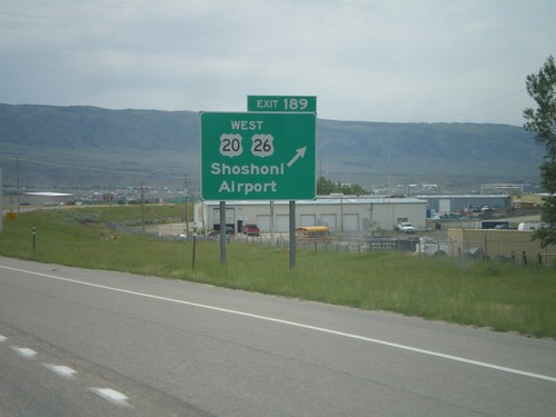
I-25 South - Exit 189
I-25/US-87 South - Exit 189 - US-20/US-26 West/Shoshoni/Airport. US-20/US-26 joins I-25 south through Casper.
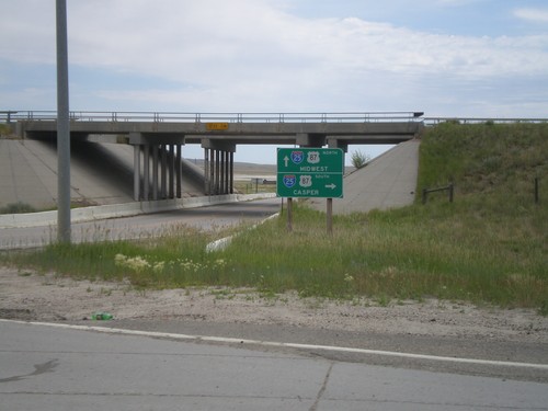
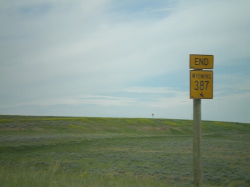
Begin WY-387 North at I-25
Begin WY-387 north at I-25/US-87. Use I-25 South/US-87 South for Casper. I-25 North/US-87 North is signed for Midwest, where actually WY-387 north heads towards Midwest. The actual destination for I-25/US-87 North would be for Kaycee or Buffalo.
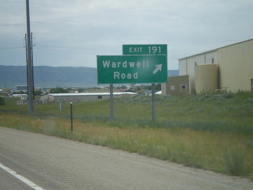
I-25 South - Exit 191
I-25 south at Exit 191 - Wardwell Road. This is the first exit along I-25 in the Casper area.
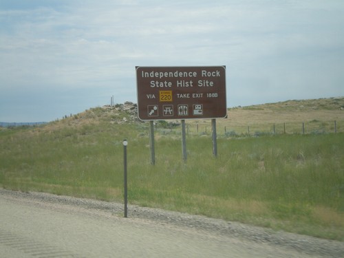
I-25 South - Independence Rock State Historic Site
Directions for Independence Rock State Historic Site on I-25/US-87 South. Use WY-220 via Exit 188B for Independence Rock State Historic Site.
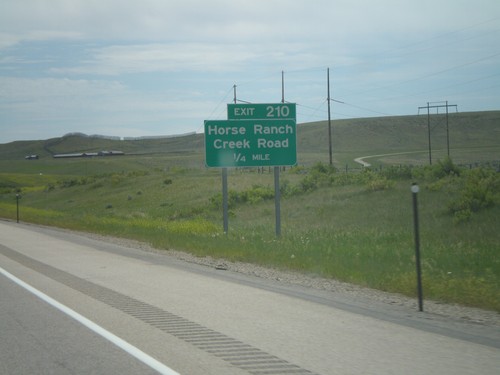
I-25 South - Exit 210
I-25 South at Exit 210 - Horse Ranch Creek Road. This is also the intersection with WY-259, although it is not signed in this direction.
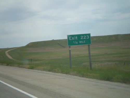
I-25 South - Exit 223
I-25 South at Exit 223 (No Name). This is one of the few unnamed interchanges in Wyoming. The Wyoming DOT Milepost Reference publication calls this the Midwest Interchange.
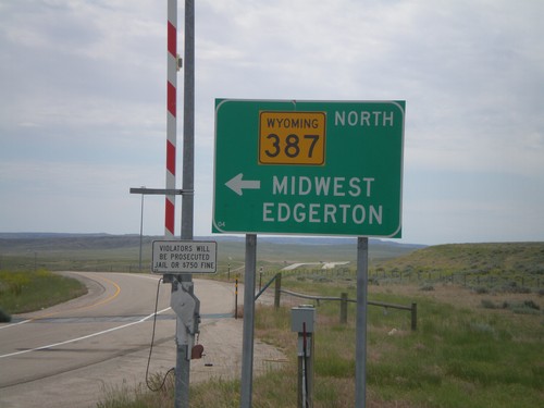
I-25 South at WY-387
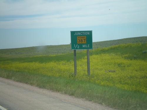
I-25 south at WY-387. Use WY-387 North for Midwest and Edgerton. Continue ahead to return to I-25 south. Notice the closed highway gate for severe weather.
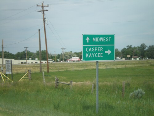
WY-387 South Approaching WY-259
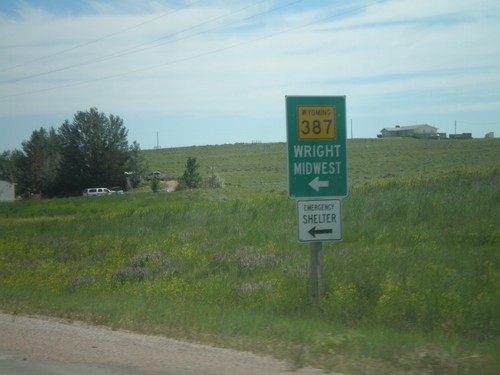
WY-387 south approaching WY-259. Continue ahead (via county road) for Midwest. Turn right to continue on WY-387 south for Kaycee and Casper. Destinations via WY-259 (left turn) are not signed.
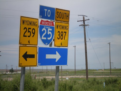
WY-387 West at WY-258
WY-387 south at WY-258 in Midwest. Turn right to continue west on WY-387, and for I-25 traffic. It is probably shorter for I-25 south traffic to use WY-259 south, even though it is signed otherwise.
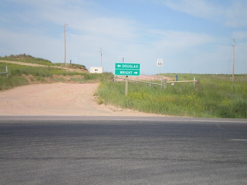
End WY-450 West at WY-59
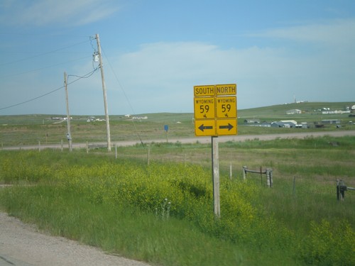
End WY-450 West at WY-59. Use WY-59 south for Douglas; use WY-59 north for Wright.
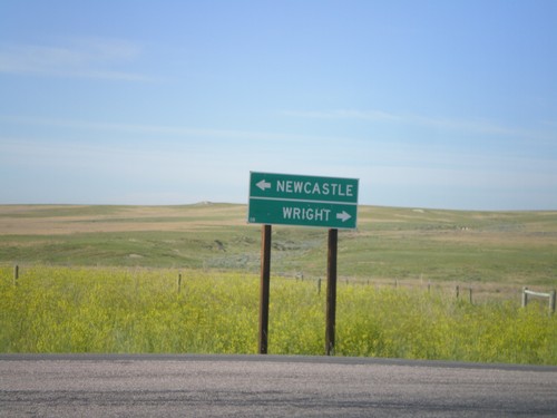
End WY-116 South at WY-450
End WY-116 South at WY-450. Use WY-450 east for Newcastle; WY-450 west for Wright.
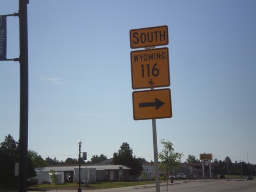
US-16 West/WY-116 South at WY-116 South
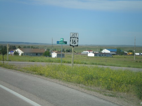
US-16 West/WY-116 South at WY-116 South in Upton, Wyoming. WY-116 joins US-16 briefly through Upton.
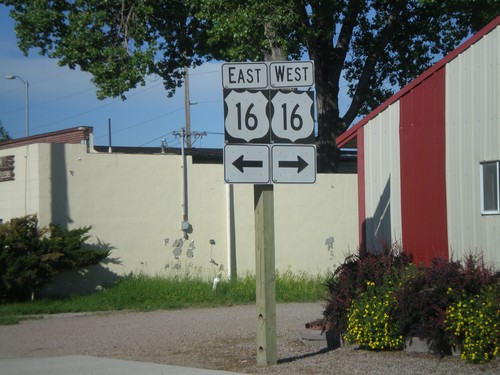
WY-116 South at US-16
WY-116 South at US-16. Although it is not signed, WY-116 follows US-16 for a few blocks through Upton. WY-116 south traffic, turn left at this intersection.
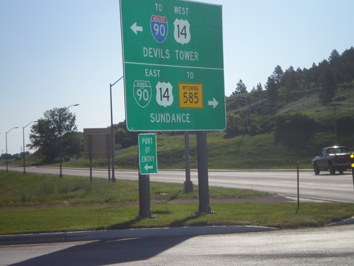
WY-116 North at BL-90/US-14
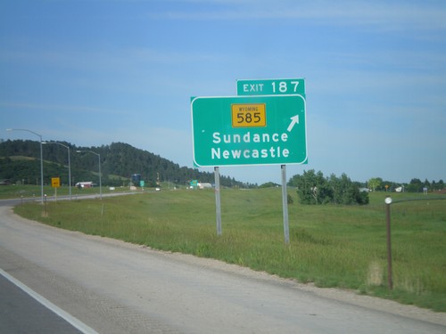
WY-116 north at BL-90/US-14. Turn right on BL-90/US-14 East for WY-585 and Sundance (City Center). Turn left for US-14 West to I-90 and Devils Tower.
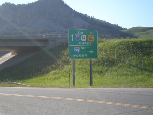
US-14 East at I-90 West (Exit 185)
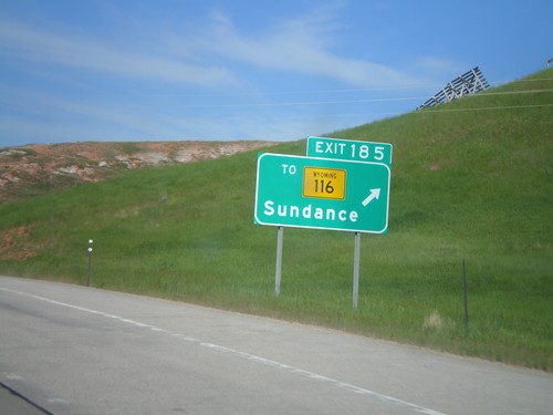
US-14 east at I-90 West (Exit 185). Use I-90 west for Moorcroft. Continue east on US-14 for I-90 East, WY-116 and Sundance (City Center). The is the beginning of the I-90 Business Loop in Sundance.
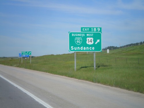
I-90 West - Exit 189
I-90/US-14 West at Exit 189 - BL-90/US-14 West/Sundance. US-14 leaves I-90 here and heads northwest to the Devils Tower National Monument. This is the eastern end of the Sundance business loop.
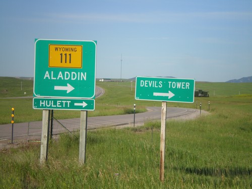
I-90 West at WY-111
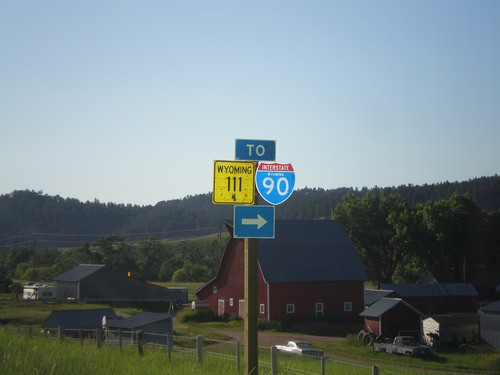
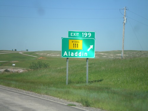
I-90 west offramp (Exit 199) at WY-111. Use WY-111 north for Alladin, Heulett, and Devils Tower (National Monument).
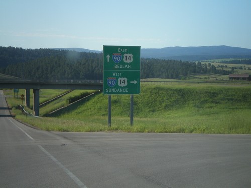
End WY-111 South at I-90 (Exit 199)
WY-111 south at I-90/US-14 (Exit 199). Use I-90/US-14 East for Beulah; west for Sundance.
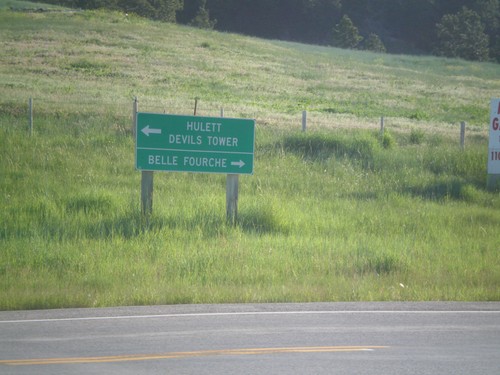
End WY-111 North at WY-24
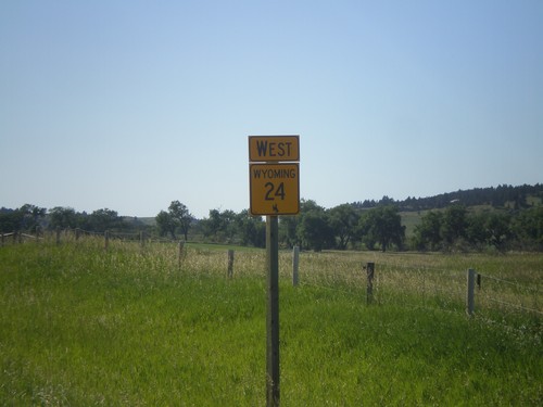
End WY-111 north at WY-24. Use WY-24 west for Heulett and Devils Tower (National Monument). Use WY-24 east for Belle Fourche (South Dakota).
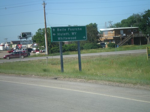
US-85 North at SD-34
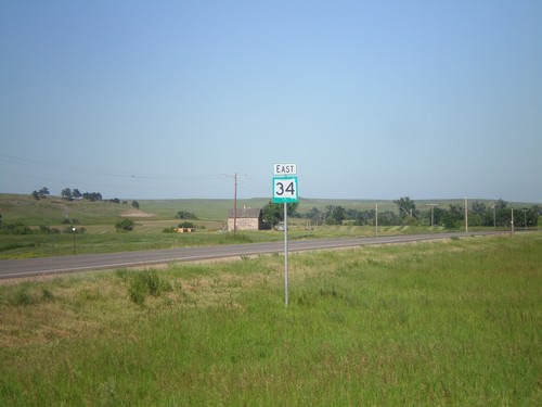
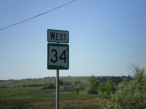
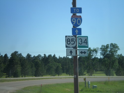
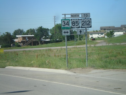
US-85 north at SD-34. Use SD-34 west for Heulett, WY; SD-34 east for Whitewood; US-85 north for Belle Fourche.
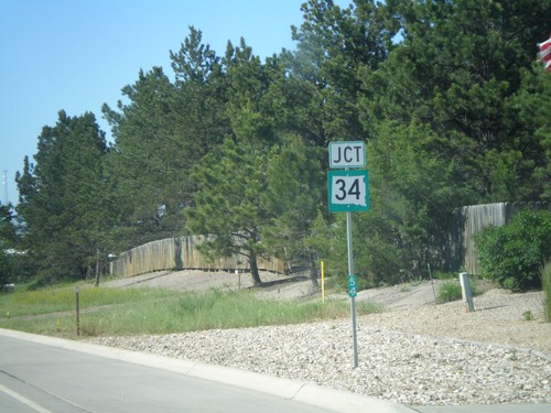
US-85 North Approaching SD-34
US-85 North approaching SD-34. Mile marker 54 is posted to the bottom of the marker.
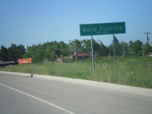
US-85 North - Belle Fourche
Entering Belle Fourche on US-85 north. Population 4,565. Belle Fourche is the county seat of Butte County, South Dakota.
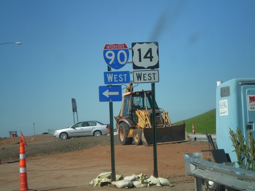
I-90/US-14 West Onramp
I-90/US-14 West onramp (Exit 10) at west end of Spearfish business loop. Turn left for I-90/US-14 west; straight for US-85 North. The Exit 10 interchange is under construction when this photo was taken.
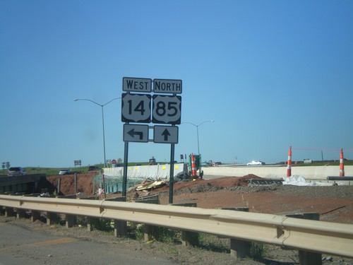
US-85 North at I-90/US-14 West
US-85 North at I-90/US-14 West (Exit 10). Turn left for US-14 and I-90 west. Interchange is currently under construction, and most of the traffic signs are temporary.
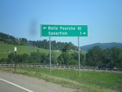
I-90/US-14 East at US-85
I-90/US-14 East (Exit 10) at US-85. Turn left for US-85 North to Belle Fourche. Turn right for BL-90 to Spearfish.
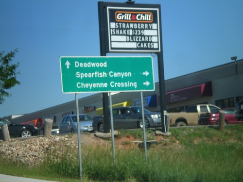
BL-90 East at US-14A
BL-90 East at US-14A. Turn right for US-14 East to Spearfish Canyon and Cheyenne Crossing. Continue ahead for BL-90 east for Deadwood. Deadwood is not directly assessable via BL-90 or I-90, but is the preferred route from Spearfish.
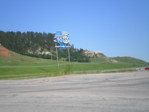
End BL-90 West at I-90
End BL-90 west at I-90/US-14 West/US-85 South Jct. Turn right for I-90/US-14 East/US-85 South.
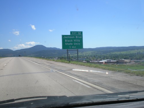
I-90 East Approaching Exit 12
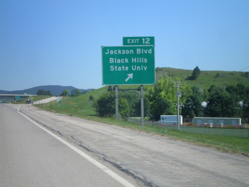
I-90 East approaching Exit 12 - Jackson Blvd/Black Hills State University.
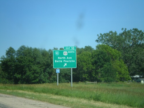
I-90 East - Exit 10
I-90 East at Exit 10 - BL-90/US-85 North/North Ave./Belle Fourche. US-85 joins I-90 east through Spearfish.
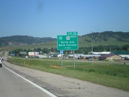
I-90 East Approaching Exit 10
I-90 East approaching Exit 10 - BL-90/US-85 North/Belle Fourche/North Ave. This is the western end of the Spearfish business loop. US-85 joins I-90 eastbound through Spearfish.
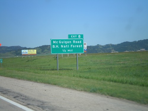
I-90 East - Exit 8
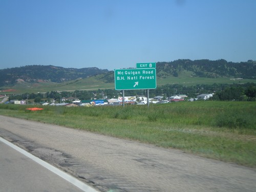
I-90 east approaching Exit 8 - Mc Guigan Road/Black Hills National Forest. The Black Hills are in the background of the picture.
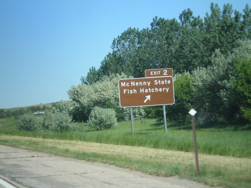
I-90 East - Exit 2
I-90 East at Exit 2 Mc Nenny State Fish Hatchery. This is the first exit eastbound on I-90 in South Dakota.
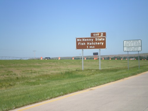
I-90 East - Exit 1
I-90 east approaching Exit 1 - Mc Nenny State Fish Hatchery. This is the first exit on I-90 eastbound in South Dakota.
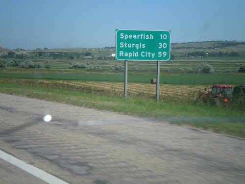
I-90 East - Distance Marker
First distance marker on I-90 east in South Dakota. Distance to Spearfish, Sturgis, and Rapid City.
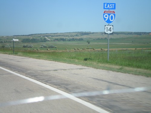
I-90 East/US-14 East
I-90/US-14 East shields. These are the first I-90/US-14 reassurance markers in South Dakota on I-90/US-14 east.
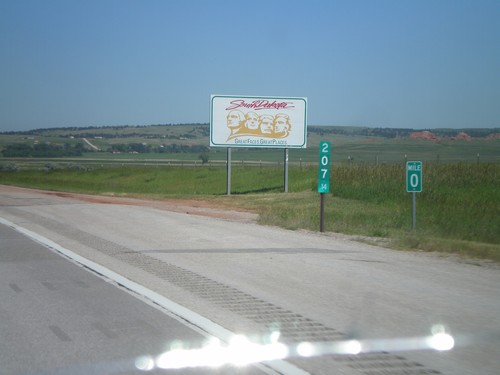
I-90 East - Welcome To South Dakota
Welcome to South Dakota on I-90 east. Milemarkers for both Wyoming and South Dakota.
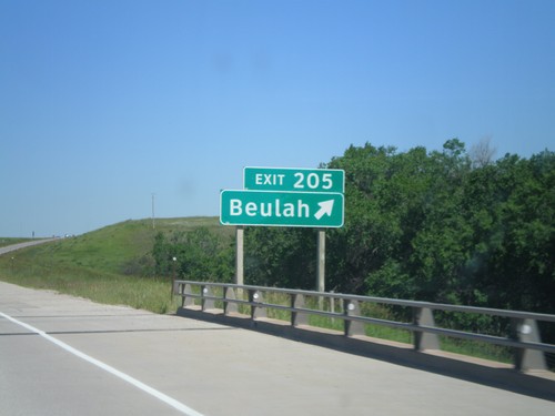
I-90 East - Exit 205
I-90 east at Exit 205 - Beulah. This is the last exit on I-90 eastbound in Wyoming.
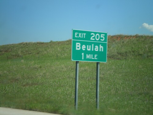
I-90 East - Exit 205
I-90 east approaching Exit 205 - Beulah. This is the last exit in Wyoming along I-90 east.
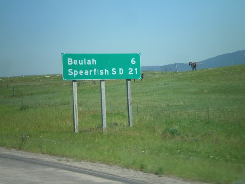
I-90 East - Distance Marker
Distance marker on I-90 east to Beulah, and Spearfish, SD. Taken just east of WY-111 junction.
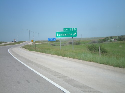
I-90 East - Exit 189
I-90 east at Exit 189 - Sundance. This is the east end of the Sundance business loop.
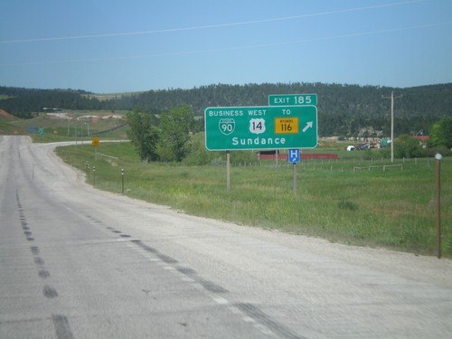
I-90 East - Exit 185
I-90 east at Exit 185 - BL-90/US-14 West/To WY-116/Sundance. This is the western end of the Sundance business loop.
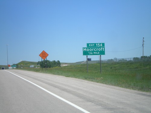
I-90 East - Exit 154
I-90 east approaching Exit 154 - Moorcroft. This is the east end of the Moorcroft business loop.
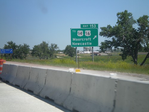
I-90 East - Exit 153
I-90 east at Exit 153 - To US-14/US-16/Moorcroft/Newcastle. US-14 and US-16 leave I-90 east here. Use this exit for the Moorcroft Rest Area.
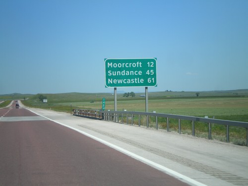
I-90 East - Distance Marker
Distance marker on I-90/US-14/US-16 east in Campbell County, Wyoming. Distance to Moorcroft, Sundance, and Newcastle (via US-16).
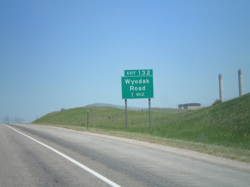
I-90 East - Exit 132
I-90 east at Exit 132 - Wyodak Road. The smokestacks in the background are from the Wyodak Power Plant, part of the Wyodak Coalmine complex.
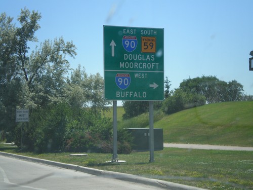
US-14/US-16 East/WY-59 South at WY-50 (To I-90)
US-14/US-16 East/WY-59 South at WY-50 (To I-90). Continue ahead on US-14/US-16 east for I-90 to Douglas and Moorcroft. Turn right for I-90 West (WY-50) for Buffalo.
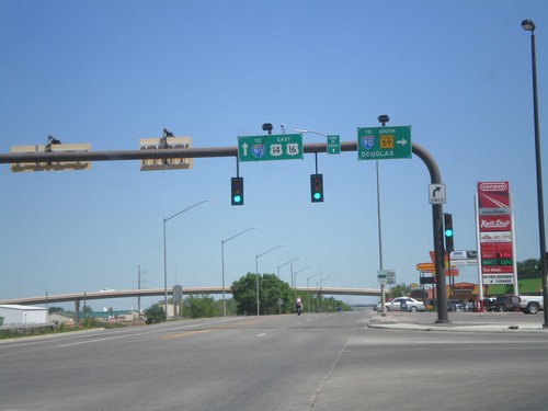
BL-90/US-14/US-16 East at WY-59
BL-90/US-14/US-16 east at WY-59. Turn right for I-90 (west)/WY-59 South to Douglas. Continue straight ahead for I-90 east.
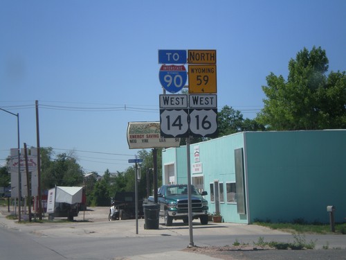
US-14/US-16 West/WY-59 North/To I-90
US-14/US-16 West, WY-59 North, To I-90 (Business I-90) in Gillette.
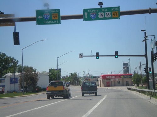
BL-90/US-14/US-16 West at WY-59
BL-90/US-14/US-16 west at WY-59. Turn left for I-90 (west)/WY-59 South to Douglas. Continue straight ahead for BL-90/US-14/US-16 West and WY-59 North. WY-59 follows US-14/US-16 through Gillette.
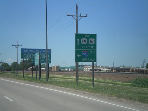
Begin BL-90 at I-90
Begin BL-90 at I-90 west onramp (Exit 128). Use I-90 west for Buffalo. Continue west for BL-90/US-14/US-16 into Gillette.
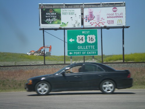
I-90 East at WY-51/US-14/US-16
I-90 east Exit 128 at BL-90/US-14/US-16/WY-51. Use BL-90/US-14/US-16 west for Gillette and Port of Entry.
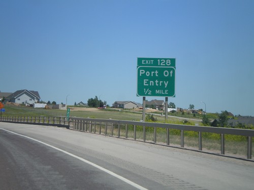
I-90 East - Exit 128
I-90 east at Exit 128 - Port of Entry. This is the east end of the Gillette business loop.
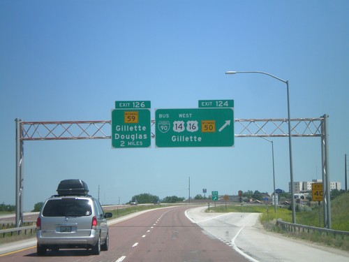
I-90 East - Exits 124 and 126
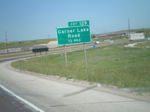
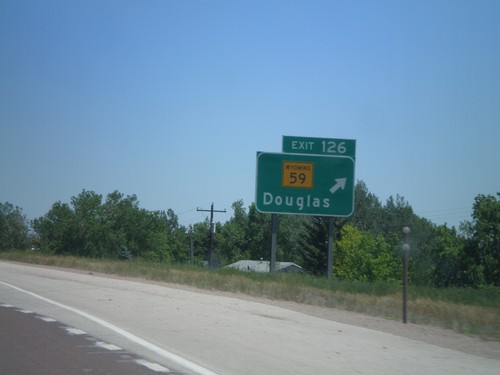
I-90 east at Exit 124 - BL-90/US-14/US-16 West/WY-50/Gillette. Approaching Exit 126 - WY-59/Gillette/Douglas.
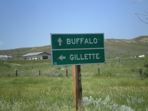
I-90 - Exit 73 Onramp
I-90 - Exit 73 onramp. Continue straight for I-90 west to Buffalo; left for I-90 east to Gillette.
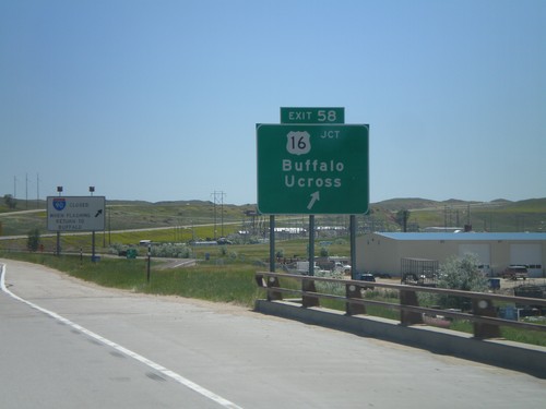
I-90 East - Exit 58
I-90 east at Exit 58 - US-16/Buffalo/Ucross. This is the eastern end of the I-90 business loop through Buffalo.
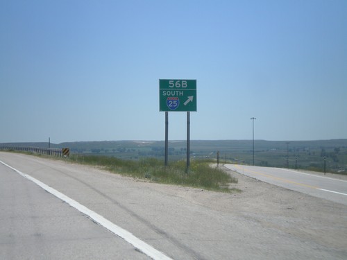
I-90 East - Exit 56B
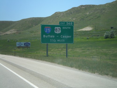
I-90 east at Exit 56B - I-25 South. US-87 leaves I-90 here, and follows I-25 south. This is the northern terminus of I-25.
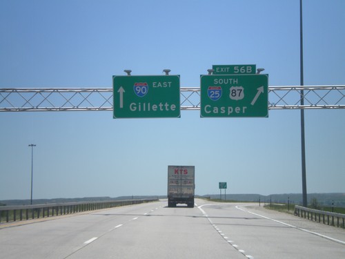
I-90 East - Exit 56B
I-90 east at Exit 56B - I-25/US-87 South/Casper. I-90 continues east to Gillette. US-87 leaves I-90 here and follows I-25 south to Casper. This is the northern end of I-25.
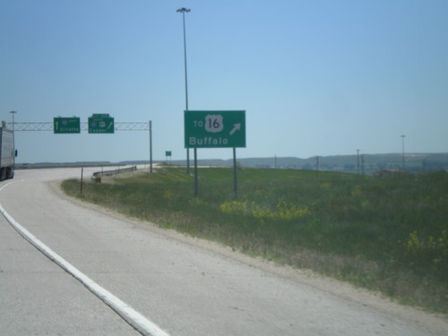
I-90 East - Use Exit 56B For US-16
I-90 east approaching Exit 56B. Use I-25 south for US-16 jct. in Buffalo.
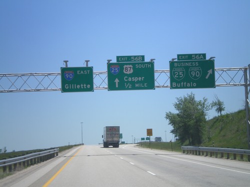
I-90 East - Exits 56A and 56B
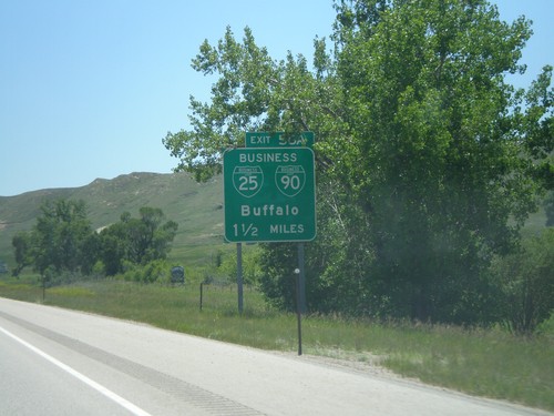
I-90 east at Exit 56A - BL-90/BL-25/Buffalo. Approaching I-25/US-87 South/Casper. This is the northern end of I-25, the southern end is in Las Cruces, New Mexico.
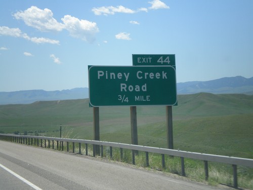
I-90 East - Exit 44
I-90 east approaching Exit 44 - Piney Creek Road. US-87 south joins I-90 east here to Buffalo.
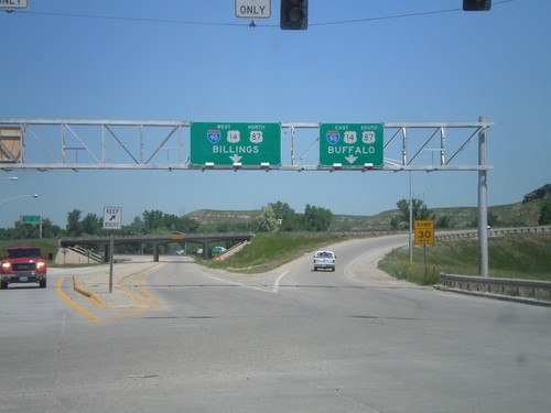
End BL-90 West at I-90/US-14/US-87
End BL-90/Bus. US-14 West/Bus. US-87 North at I-90/US-14/US-87. Use I-90/US-14 West/US-87 north for Billings (Montana); use I-90/US-14 East/US-87 South for Buffalo. This is the western end of the Sheridan business loop.
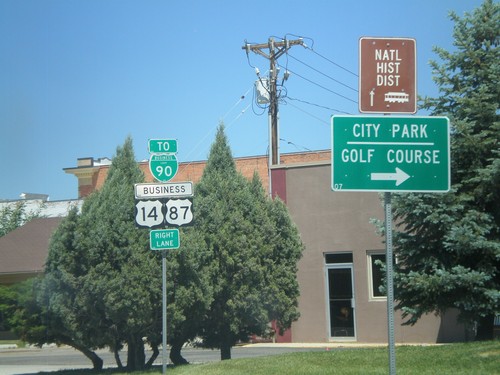
BL-90/Business US-87/Business US-14 in Sheridan
BL-90/Business US-87/Business US-14 (Coffeen Ave.) west at Main St in downtown Sheridan. Turn right on Main St. for the Sheridan City Park and Golf Course.
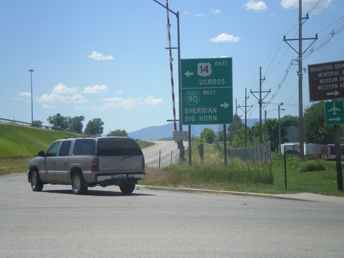
I-90 East Exit 25 Offramp at US-14/BL-90
Bottom of I-90 East, Exit 25 offramp in Sheridan. Turn right for US-14 east to Ucross; left for BL-90 for Downtown Sheridan. Also turn left for (unsigned) US-87 to Big Horn. This is the eastern end of the Sheridan business loop.
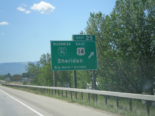
I-90 East - Exit 25
I-90 east at Exit 25 - BL-90/US-14 East/Sheridan/Big Horn/Ucross. This is the eastern end of the Sheridan business loop. US-14 leaves I-90 here and heads east towards Ucross. US-87 also leaves I-90 east here.
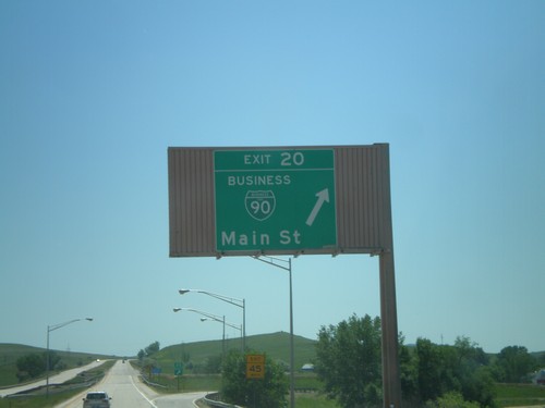
I-90 East - Exit 20
I-90 east at Exit 20 - BL-90/Main St. This is the western end of the Sheridan Business Loop. The style of this overhead is not usual in Wyoming, and looks like the type of overheads seen in California.
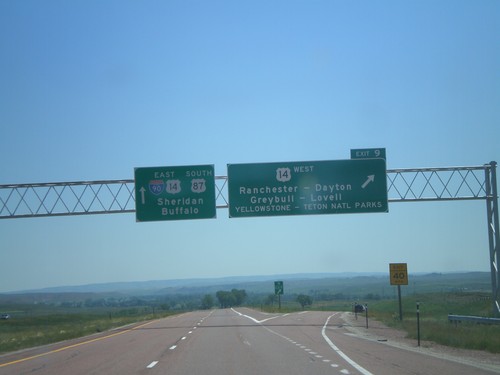
I-90 East - Exit 9
I-90 east at Exit 9 - US-14 West/Ranchester/Dayton/Greybull/Lovell/Yellowstone - Teton National Parks. I-90/US-14/US-87 continues east towards Sheridan and Buffalo. US-14 joins I-90 east to Sheridan.
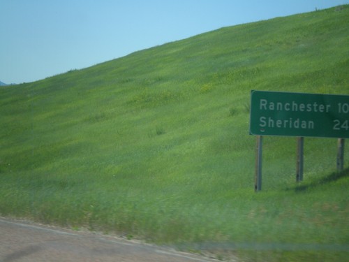
I-90 East - Distance Marker
First distance marker in Wyoming along I-90 East/US-87 South. Distance to Ranchester and Sheridan.
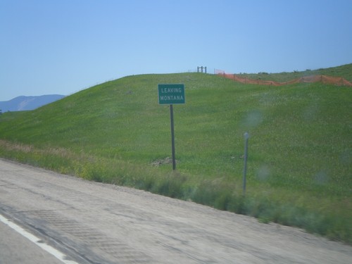
I-90 East - Leaving Montana
Leaving Montana on I-90 East/US-87 South approaching the Wyoming state line.
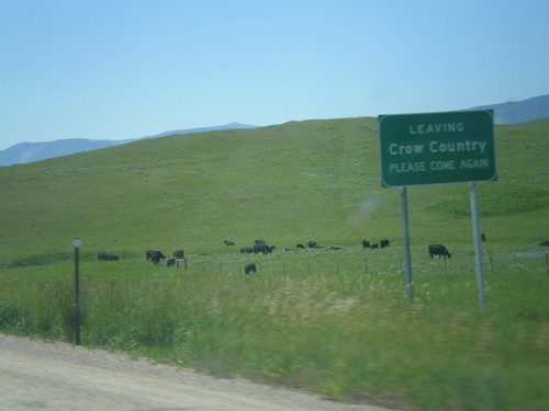
I-90 East - Leaving Crow Country
Leaving the Crow Indian Reservation on I-90 east approaching the Wyoming state line.
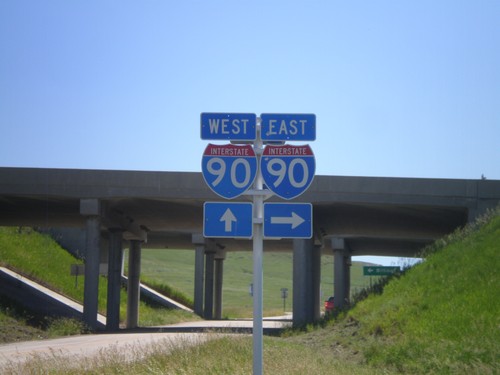
I-90 Onramps at Exit 549
I-90 onramp at Exit 549. Turn right for I-90 east; continue ahead under the underpass for I-90 west.
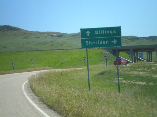
Approaching I-90 (Exit 549)
Approaching I-90 (Exit 549) on Aberdeen Road. Use I-90 east for Sheridan (Wyoming); I-90 west for Billings.
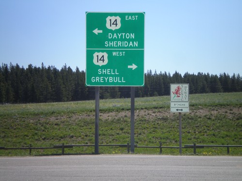
End US-14A At US-14 - Burgess Jct.
End US-14A at US-14 - Burgess Jct. Turn right for US-14 west to Shell and Greybull; turn left for US-14 east to Dayton and Sheridan. There is also a Bighorn Scenic Byway sign, of which either direction US-14 is part of.
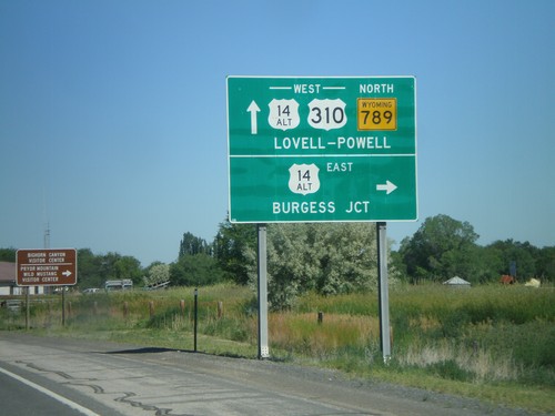
US-310 West/WY-789 North at US-14A
US-310 West/WY-789 North at US-14A in Lovell. Turn right for US-14A East to Burgess Jct.; continue ahead for US-310/US-14A West/WY-789 North to Lovell and Powell.
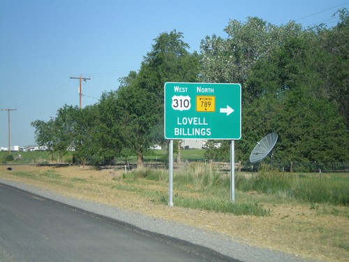
US-14/US-16/US-20 West/WY-789 North at US-310
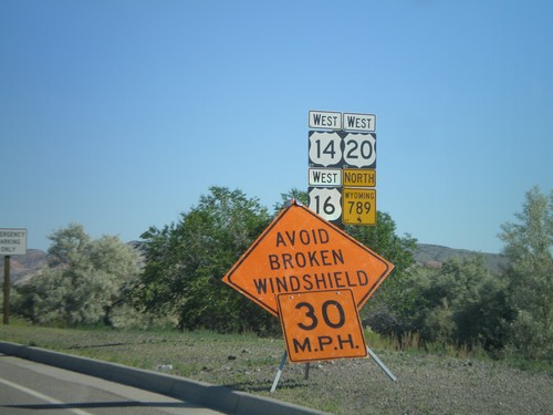
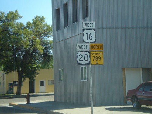
US-14/US-16/US-20 West/WY-789 North at US-310. Turn right on US-310 West/WY-789 north for Lovell and Billings (Montana). This is the eastern end of US-310. WY-789 leaves US-14/US-16/US-20 here and turns west onto US-310.
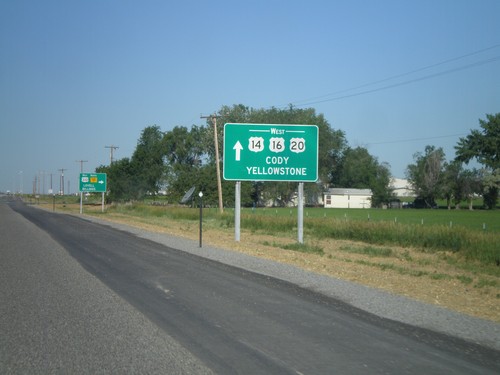
US-14/US-16/US-20 West/WY-789 at US-310/WY-789 North
US-14/US-16/US-20 West/WY-789 North at US-310/WY-789. Use US-14/US-16/US-20 West for Cody and Yellowstone. Turn right to continue north WY-789. This is the southern terminus of US-310.
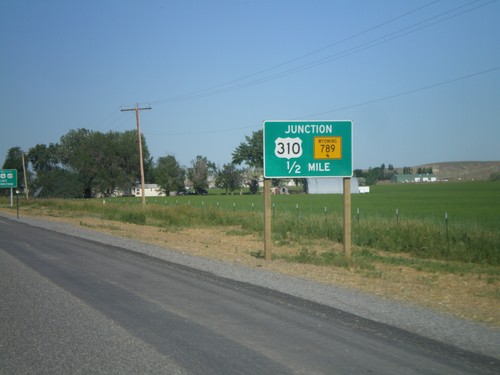
US-14/US-16/US-20 West/WY-789 North at US-310/WY-789 North
US-14/US-16/US-20 West/WY-789 North at US-310/WY-789 North. Turn right to continue on WY-789 North. This is where US-310 begins.
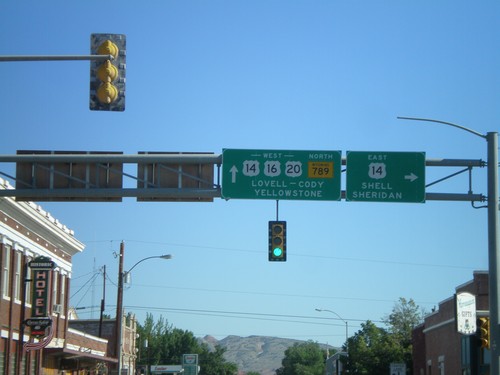
US-16/US-20 West/WY-789 North at US-14
US-16/US-20 West/WY-789 North at US-14 in Greybull. Turn right for US-14 east to Shell and Sheridan. Continue west on US-14/US-16/US-20 for Lovell, Cody, and Yellowstone.
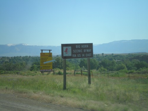
US-14 Scenic Byway Information on US-16/US-20 West/WY-789 North
Scenic Byway information for US-14 on US-16/US-20 West/WY-789 North approaching Greybull. Use US-14 East for the Big Horn Scenic Byway.
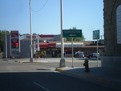
US-16/US-20 West/WY-789 North at WY-30
US-16/US-20 West/WY-789 North at WY-30. Use WY-30 west for Burlington.
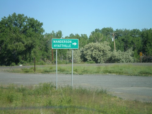
US-16/US-20 West/WY-789 North at WY-31
US-16/US-20 West/WY-789 North at WY-31 to Manderson and Hyattville.
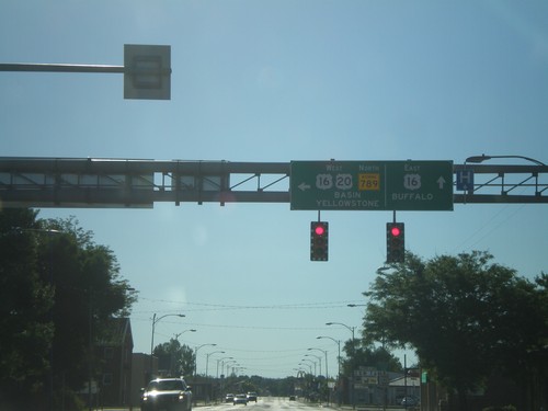
US-20 West/WY-789 North - US-16 Jct
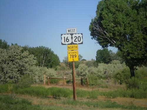
US-20 West/WY-789 North at US-16 junction in Worland. Continue straight for US-16 east to Buffalo. Turn left for US-16/US-20 West/WY-789 North to Basin and Yellowstone (National Park).
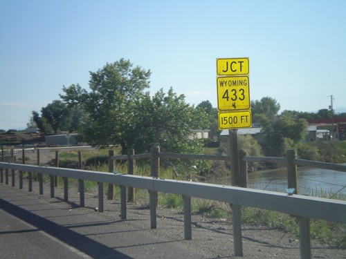
US-20/US-16 West/WY-789 North Approaching WY-433
US-20/US-16 West/WY-789 North Approaching WY-433. The river in the background is the Big Horn River.
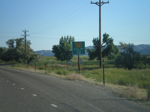
US-20 West/WY-789 North at WY-172
US-20 West/WY-789 North at WY-172 in rural Hot Springs County. Turn right for WY-172 to Black Mountain Road.
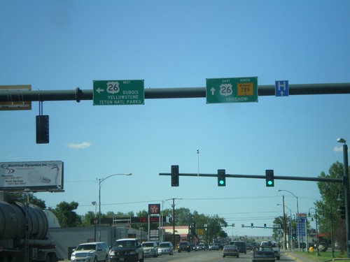
WY-789 North at US-26
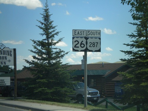
WY-789 north at US-26 in Riverton. Turn left for US-26 to Dubois, and Yellowstone/Grand Teton National Parks. Continue ahead for US-26 East/WY-789 North to Shoshoni. US-26 joins WY-789 north until Shoshoni.
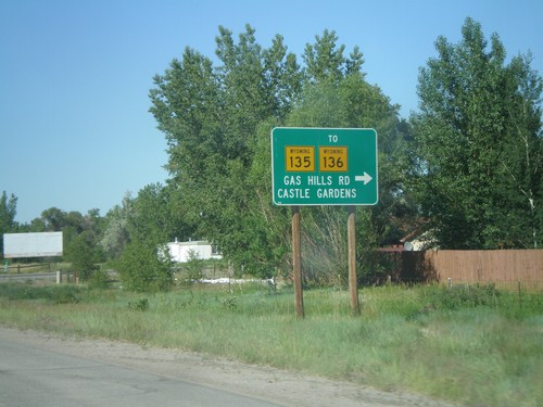
WY-789 North at WY-135/To WY-136
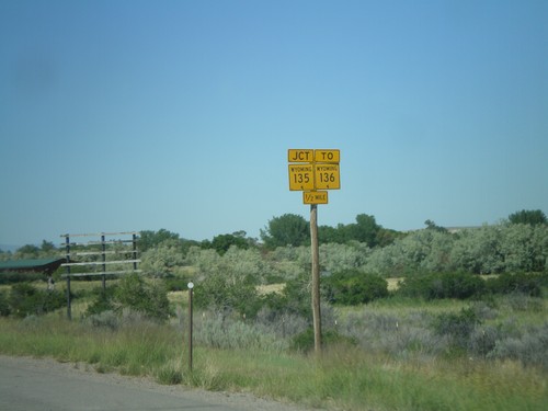
WY-789 North at WY-135/To WY-136. Use WY-135 east for WY-136, Gas Hills Road, and Castle Gardens.
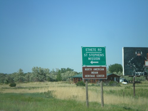
WY-789 North at WY-137
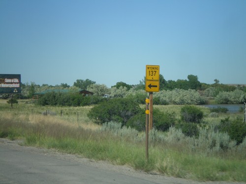
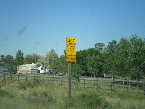
WY-789 north at WY-137/Ethete Road to St. Stephens Mission and North American Indian Hertiage Center.
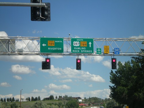
US-287 South at WY-789
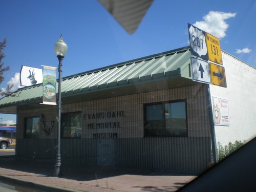
US-287 South at WY-789. Turn left for WY-789 north to Riverton. Continue ahead for US-287/WY-789 South to WY-28, Rawlins, and Rock Springs.
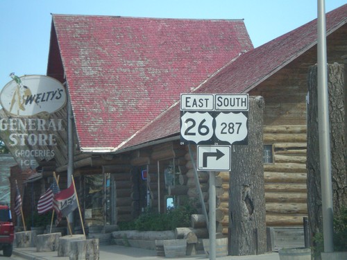
US-287 South/US-26 East - Dubois
To continue south on US-287 South/US-26 East turns turn right Dubois.
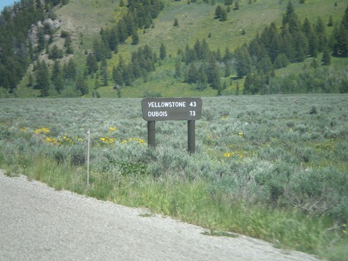
US-26 East/US-191 North - Distance Marker
Distance marker on US-26 East/US-191 North to Yellowstone and Dubois. The sign is a wooden style common inside both Grand Teton and Yellowstone National Park. This marker is just inside Grand Teton National Park.
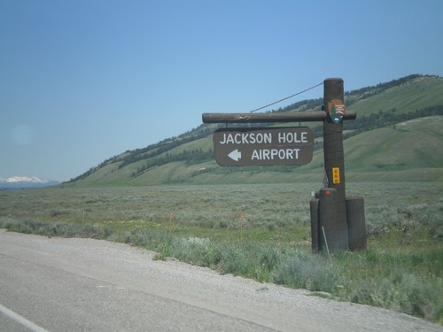
US-26 East/US-191 North at Jackson Hole Airport
US-26 East/US-191 North at Jackson Hole Airport in Grand Teton National Park.
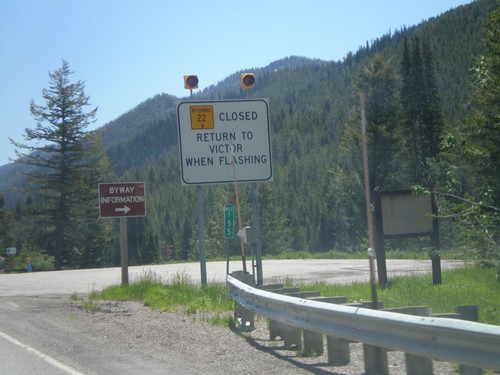
ID-33 East - WY-22 Closure Information
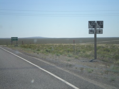
Teton Pass road closure information on ID-33 east approaching the Wyoming state line. When Teton Pass is closed in Wyoming, this is where the road closure starts, just inside of Idaho. All traffic must return to Victor Idaho when the road closure lights are flashing. This is one of the few instances in Idaho of a state highway shield from another state located inside Idaho.
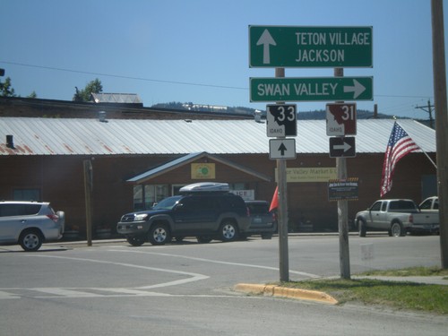
ID-33 East at ID-31
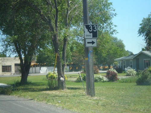
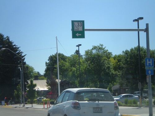
ID-33 East at ID-31 in Victor. Turn right on ID-31 south for Swan Valley. Continue ahead on ID-33 for Teton Village and Jackson (both in Wyoming). Teton Scenic Byway leaves ID-33 here and follows ID-31 south.
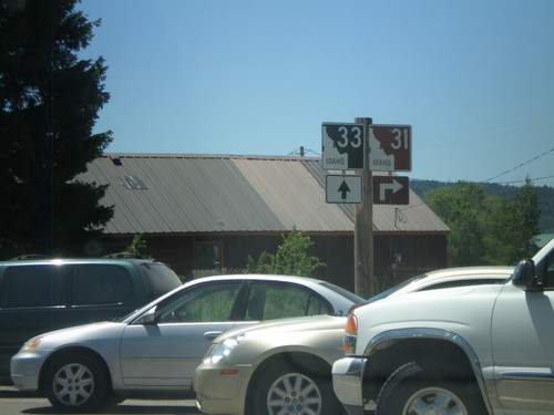
ID-33 East at ID-31
ID-33 east at ID-32 in Victor. The Teton Scenic Byway turns right here onto ID-31.
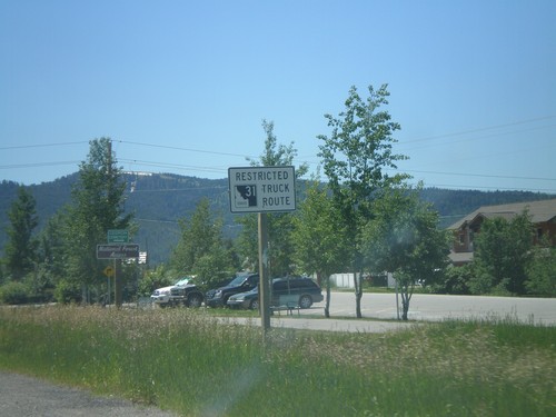
ID-33 East Approaching ID-31
ID-33 east approaching ID-31. ID-31 between Victor and Swan Valley is a restricted route for trucking.
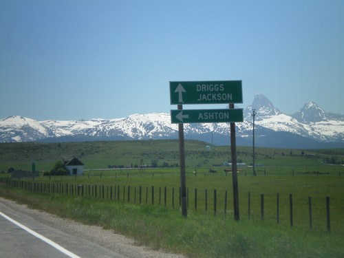
ID-33 East at ID-32
ID-33 east at ID-32 north to Ashton. Continue east on ID-33 for Driggs and Jackson (Wyoming). The Teton Mountain Range are in the background. The Teton Scenic Byway follows ID-32 south and turns east onto ID-33 east here.
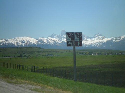
ID-33 East at ID-32 North
ID-33 East at ID-32 North. The Teton Scenic Byway joins ID-33 east here. The Teton Range is in the background of the photo.
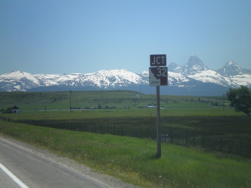
ID-33 East Approaching ID-32
ID-33 east approaching ID-32 in Tetonia. The peaks of the Teton Range are in the background.
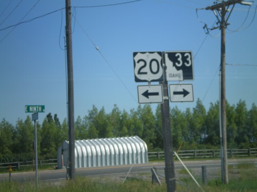
ID-33 East at US-20 Access Road
ID-33 East at US-20 access road. Turn left for US-20; turn right to continue on ID-33 east.
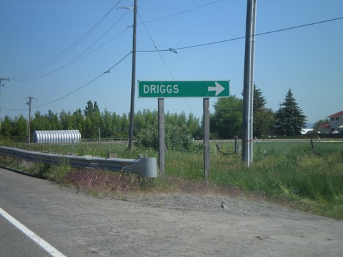
ID-33 East at US-20 Access Road
ID-33 east at access road that connects ID-33 and US-20. Turn right to continue on ID-33 east towards Driggs.
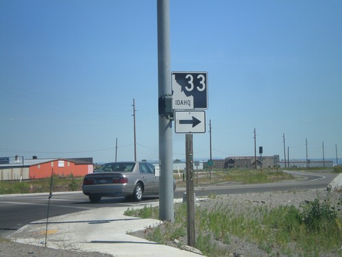
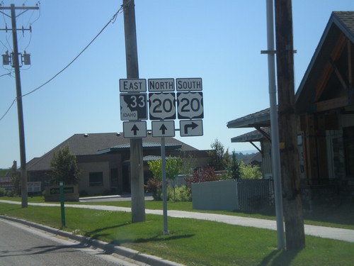
ID-33 East in Rexburg
ID-33 north (N 2nd St.) at Yellowstone Highway in Rexburg. Turn right to continue on ID-33.
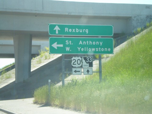
ID-33 East at US-20 East
ID-33 east at US-20 east. Use US-20 east for St. Anthony and West Yellowstone (Montana). Continue east on ID-33 for downtown Rexburg.
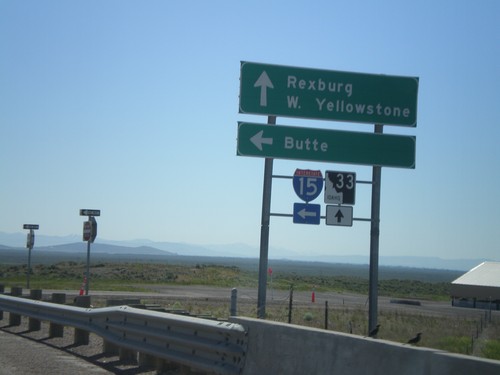
ID-33 East at I-15 North
ID-33 East at I-15 North (Exit 143). Use I-15 North for Butte (Montana). Continue east on ID-33 for Rexburg and West Yellowstone (Montana).
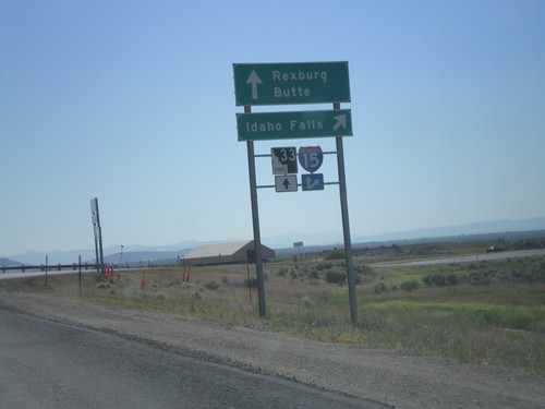
ID-33 East at I-15 South
ID-33 east at I-15 south to Idaho Falls. Continue over overpass for I-15 north onramp to Butte (Montana). Continue east on ID-33 for Rexburg.
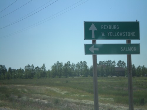
ID-33 East at ID-28
ID-33 east at ID-28 north to Salmon. Continue east on ID-33 for Rexburg and West Yellowstone (Montana). This is the southern end of ID-33. The Sacajawea Historic Byway turns from ID-28 to ID-33 east here.
