Signs From October 2011
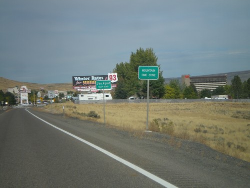
US-93 North - Entering Jackpot and Mountain Time
Entering Mountain Time Zone and Jackpot on US-93 north. Most of Nevada is on Pacific Time, except for a few of the border towns, bordering states in Mountain Time. Jackpot is on the border with Idaho.
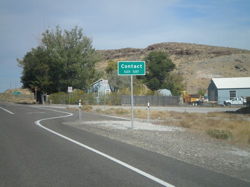
US-93 North - Contact
Entering Contact on US-93 north. The only thing in Contact is a Nevada DOT Highway Maintenance Station.
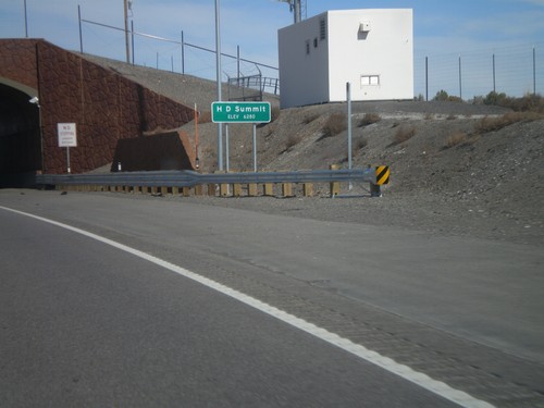
US-93 North - H-D Summit
US-93 north at H-D Summit - Elevation 6,280. The overpass in the background is a recently installed wildlife crossing over the highway. H-D Summit is the northern end of the Great Basin on US-93. North of here all water flows into the Snake River system.
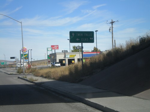
US-93 North at I-80 West
US-93 north at I-80 west (Exit 352). Turn right for I-80 west to Elko. Continue straight for US-93 north to Twin Falls (Idaho).
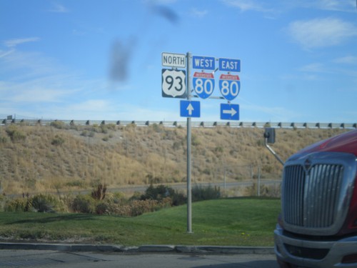
US-93 North at I-80
US-93 north at I-80 (Exit 352). Turn right for I-80 east; continue under the underpass for I-80 west.
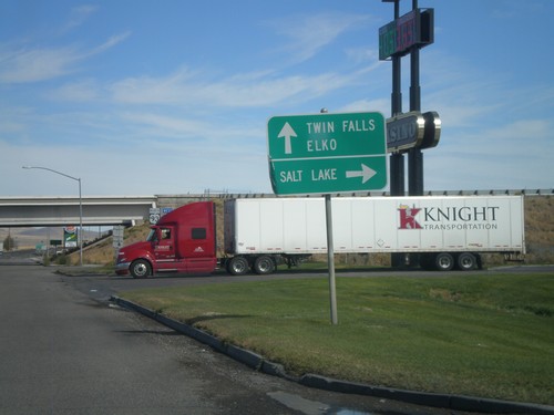
US-93 North at I-80
US-93 north at I-80 (Exit 352). Use I-80 east for Salt Lake. Use I-80 west for Elko. Continue north on US-93 for Twin Falls.
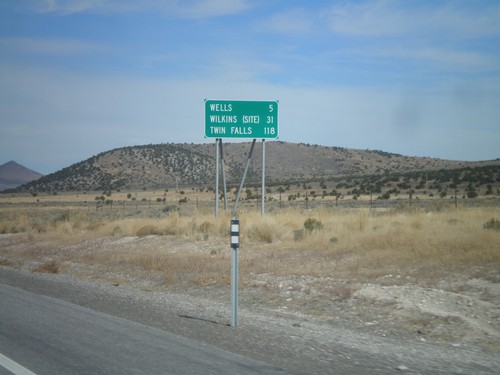
US-93 North - Distance Marker
Distance Marker on US-93 north to Wells, Wilkins (Site), and Twin Falls. Taken just north of NV-232 junction.
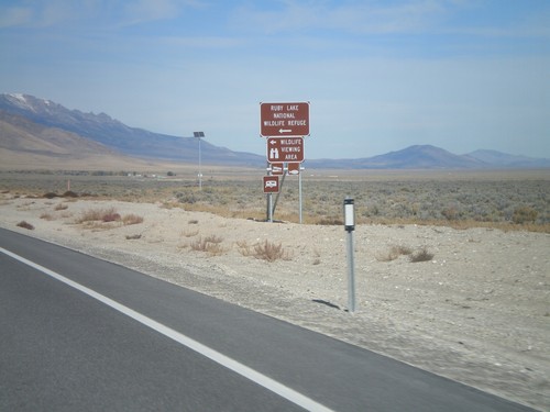
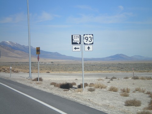
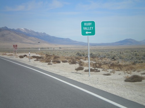
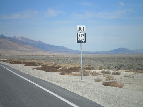
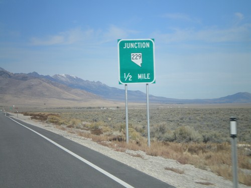
US-93 North at NV-229
US-93 north at NV-229. Turn right on NV-229 for Ruby Lake National Wildlife Refuge.
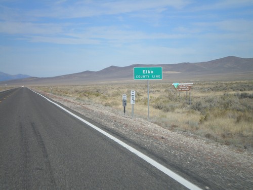
US-93 North - Elko County
Entering Elko County on US-93 north. Elko County is the fourth largest county by area in the lower 48 states.
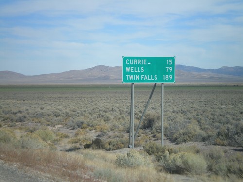
US-93 North - Distance Marker
Distance marker on US-93 north to Currie, Wells, and Twin Falls (Idaho). Taken just north of US-93/Alt. US-93 split.
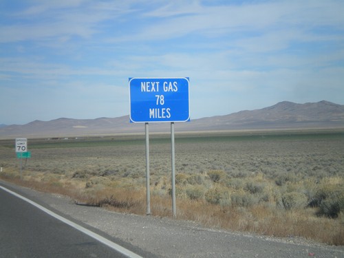
US-93 North - Next Gas 78 Miles
Next Gas 78 Miles on US-93 north. Taken just north of the Alt. US-93/US-93 intersection. Wells is the next city with gas.
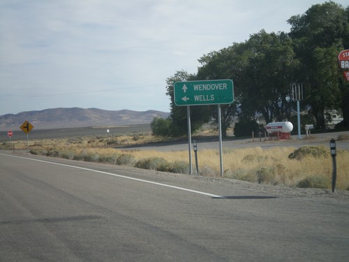
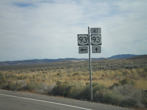
US-93 North at US-93 Alt. North
US-93 North at US-93 Alt. North. Continue straight for US-93 Alt. north to Wendover; turn left for US-93 north to Wells.
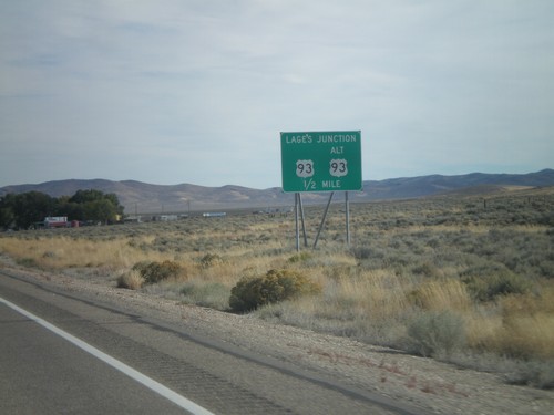
US-93 North Approaching Lages Junction
US-93 North approaching Lages Junction - US-93/Alt. US-93 Jct.
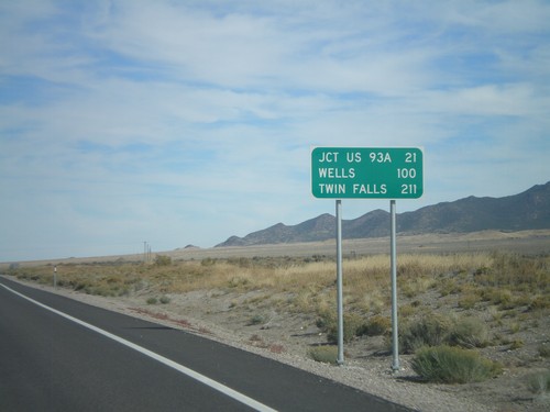
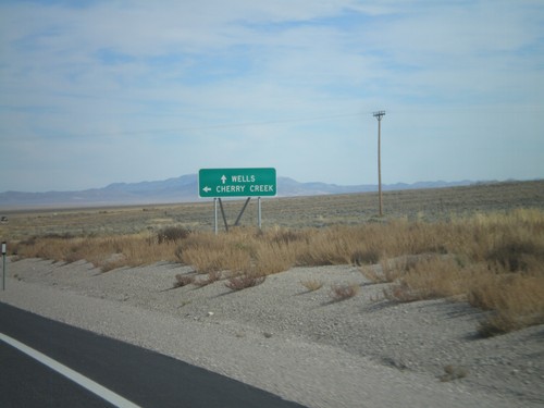
US-93 North - Distance Marker
Distance marker on US-93 north. Distance to Jct US-93A, Wells, and Twin Falls (Idaho).
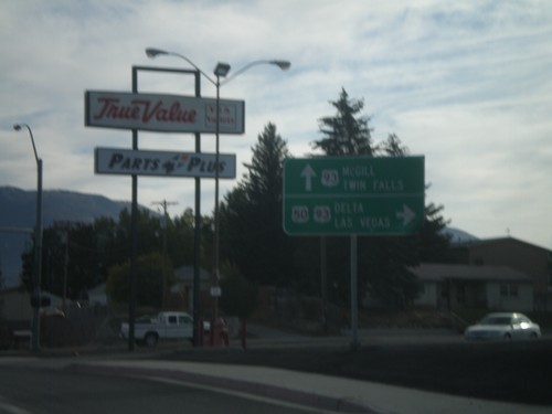
US-50 East at US-93
US-50 east at US-93. Continue ahead for US-93 north to McGill and Twin Falls (Idaho). Turn right for US-93 and US-50 for Delta (Utah) and Las Vegas. US-50 joins US-93 south over Sacramento Pass.
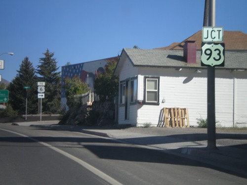
US-50 East at US-93
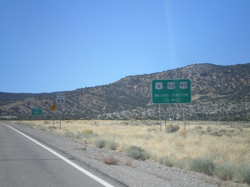
US-50 east at US-93. US-50 joins US-93 through Ely to Majors Junction. Use US-93 South/US-50 East for US-6.
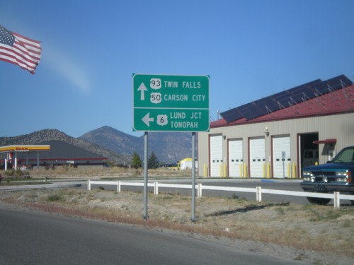
US-93 North/US-6 West/US-50 West at US-6
US-93 North/US-6 West/US-50 West at US-6 West junction. Use US-6 west for Lund Jct. and Tonopah. Use US-93 North/US-50 West for Twin Falls (Idaho via US-93) and Carson City (via US-50).
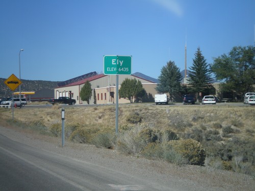
US-93 North - Entering Ely
Entering Ely - Elevation 6435 on US-93 North. Ely is the county seat of White Pine County.
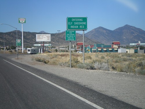
US-93 North - Entering Ely Shoshone Indian Reservation
US-93 North - Entering Ely Shoshone Indian Reservation. The Ely Shoshone Indian Reservation is a small reservation on the outskirts of Ely.
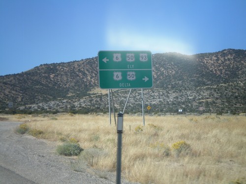
US-93 North at US-6/US-50
US-93 north at US-6/US-50 Jct. US-93 joins US-6/US-50 west into Ely. Turn left for US-93 North/US-6 West/US-50 West for Ely; left for US-6/US-50 East for Delta (Utah).
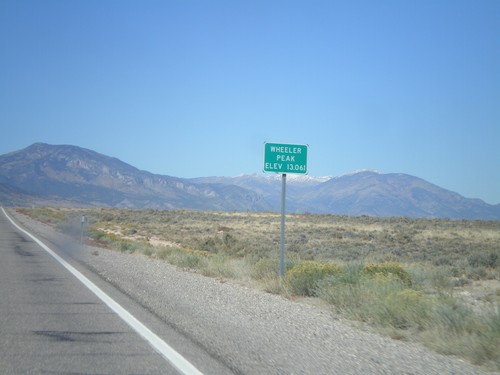
US-93 North - Wheeler Peak
US-93 North at Wheeler Peak sign - Elevation 13,061. Wheeler Peak is the snow covered mountain behind the sign. Wheeler Peak is within Great Basin National Park, and is the second highest mountain in Nevada.
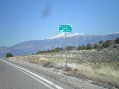
US-93 North - Lake Valley Summit
Lake Valley Summit - Elevation 6,140 Feet on US-93 north. Wheeler Peak is the snow covered mountain in the background.
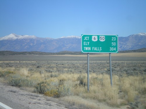
US-93 North - Distance Marker
Distance marker on US-93 north. Distance to US-6/US-50 Jct., Ely, and Twin Falls (Idaho).
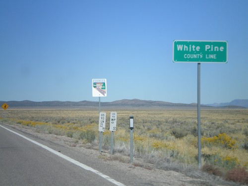
US-93 North - White Pine County Line
White Pine County Line on US-93 north. The sign behind the county line designates this stretch of US-93 as a Nevada Scenic Byway.
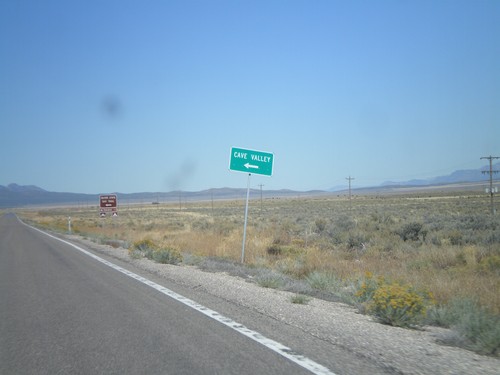
US-93 North - Cave Valley Jct.
US-93 north at Cave Valley Junction (Patterson Pass Road). Turn left for Cave Valley and the Silver State OHV Trailhead.
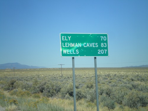
US-93 North - Distance Marker
Distance marker on US-93 north to Ely, Lehman Caves (Great Basin National Park), and Wells. Taken just north of Pony Springs.
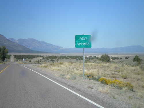
US-93 North - Pony Springs
Entering the community of Pony Springs on US-93 North. Pony Springs consists of a few buildings and a state rest area.
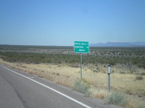
US-93 North at Bristol Wells/Sunnyside Jct.
US-93 North at Bristol Wells/Sunnyside Jct. Turn left for Bristol Wells (7 Miles) and Sunnyside (46 Miles).
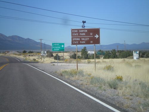
US-93 North Approaching NV-322
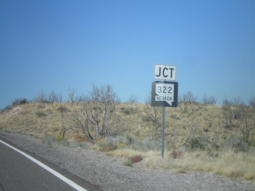
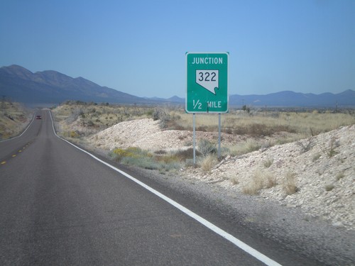
US-93 north approaching NV-322. Turn left on NV-322 for Echo Canyon State Park and Spring Valley State Park.
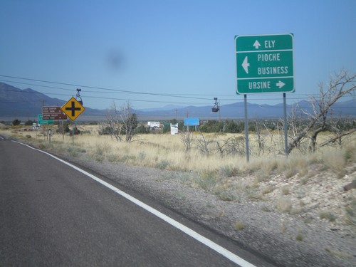
US-93 North Approaching NV-322
US-93 north approaching NV-322. Use NV-322 west for Pioche (Business); NV-322 east for Ursine; continue north on US-93 for Ely.
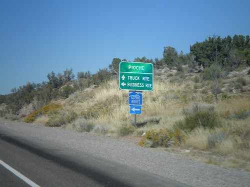
US-93 North at NV-321
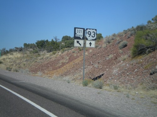
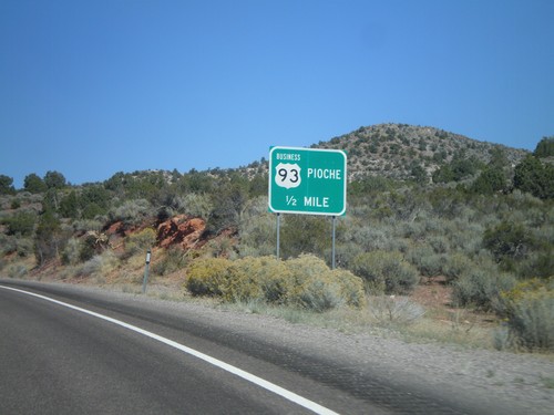
US-93 north at NV-321 (Business US-93) to Pioche. Turn left for business route into Pioche. Continue ahead for truck route into Pioche. NV-321 is a Nevada Scenic Byway.
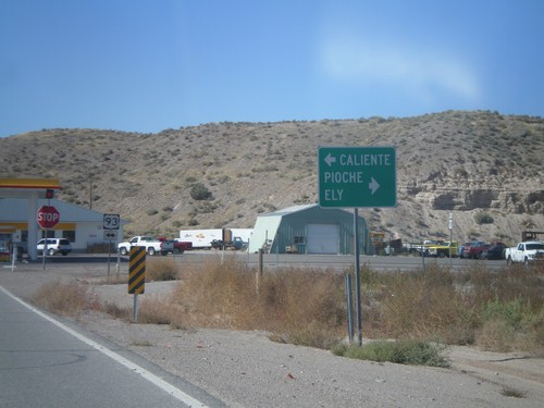
End NV-319 West at US-93
End NV-319 west at US-93. Use US-93 north for Pioche and Ely. Use US-93 south for Caliente.
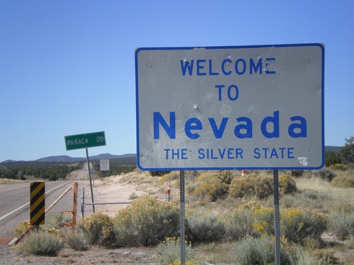
Welcome To Nevada
Welcome to Nevada - The Silver State on NV-319 west. Taken at the Utah-Nevada State Line.
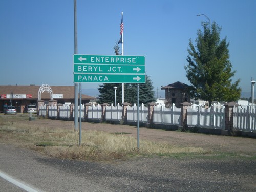
UT-18 North Approaching UT-219
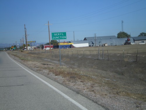
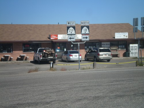
UT-18 north approaching UT-219. Turn left for UT-219 west to Enterprise. Turn right for UT-18 north for Beryl Jct. and Panaca (Nevada).
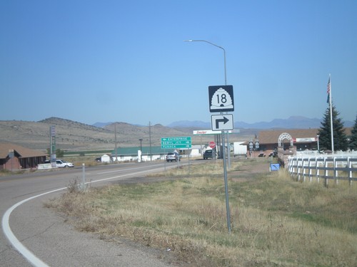
UT-18 North Approaching UT-219
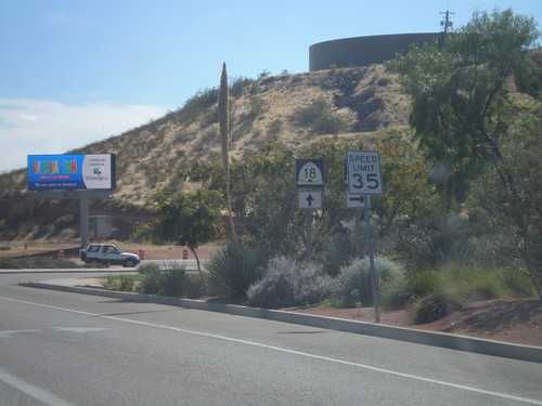
UT-18 North Approaching UT-219. Turn right to continue north on UT-18.
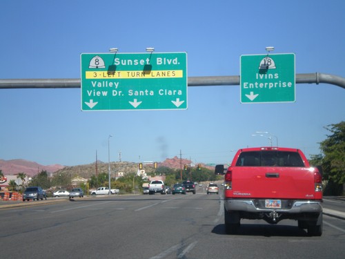
UT-18 North at UT-8
UT-18 north at UT-8 West/Valley View Drive/Sunset Blvd/Santa Clara. Continue north on UT-18 north for Ivins and Enterprise.
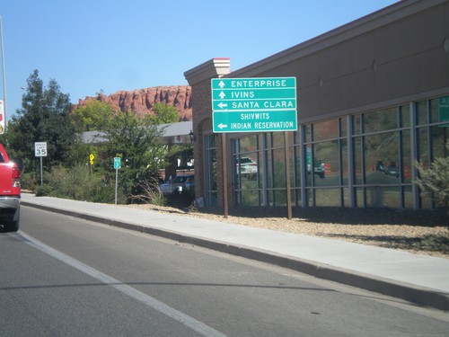
UT-18 North Approaching UT-8
UT-18 North approaching UT-8. Use UT-8 west for Santa Clara and Shivwits Indian Reservation. Continue north on UT-18 for Ivins and Enterprise.
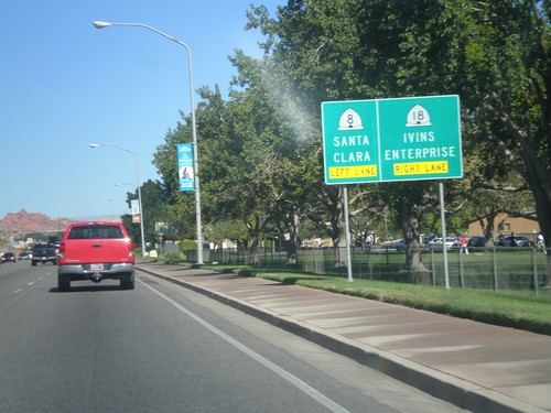
UT-18 North Approaching UT-8
UT-18 north approaching UT-8. Use left lanes for UT-8 to Santa Clara. Use right lanes for UT-18 north to Ivins and Enterprise.
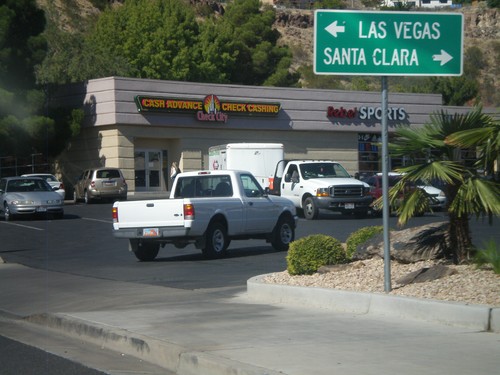
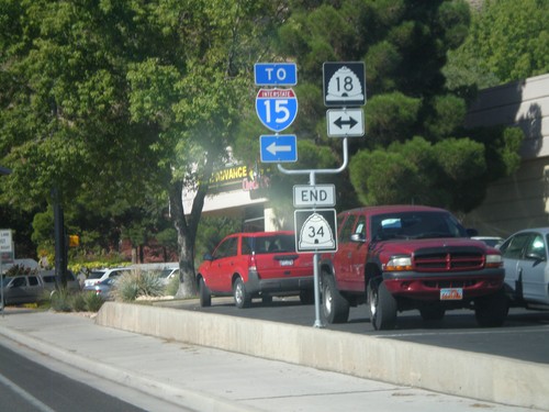
End UT-34 West at UT-18
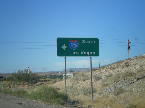
End UT-34 West at UT-18. Use UT-18 north for Santa Clara; use UT-18 south for Las Vegas (Nevada).
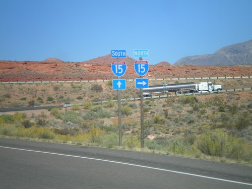
End UT-9 West at I-15
End UT-9 West at I-15 onramp. Turn left for I-15 north; continue ahead for I-15 south.
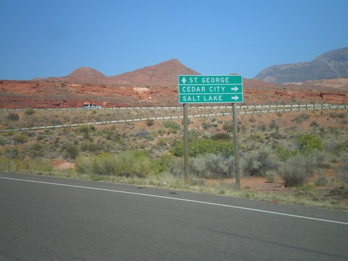
End UT-9 West at I-15
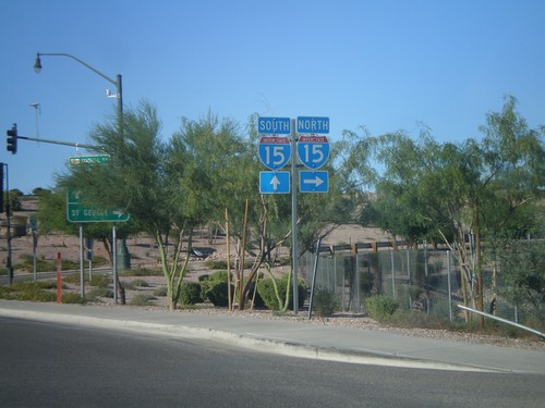
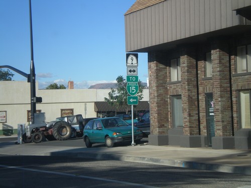
End UT-9 West at I-15. Use I-15 north for Cedar City and Salt Lake; use I-15 south for St. George.
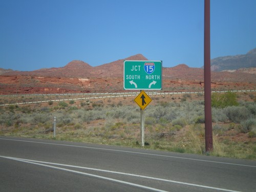
End UT-9 West at I-15
End UT-9 West at I-15. Use left lane for I-15 south; right lane for I-15 north.
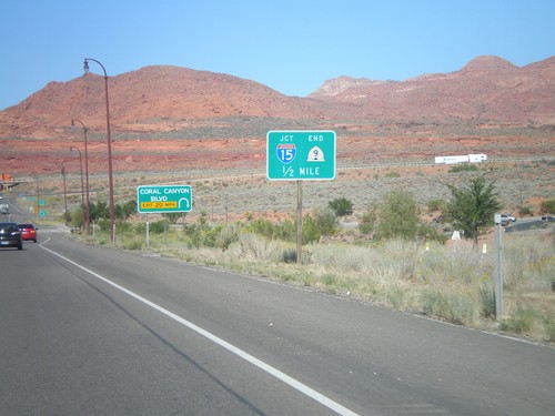
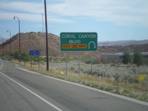
UT-9 West At Coral Canyon Blvd.
UT-9 West At Coral Canyon Blvd interchange. Approaching I-15 and the western end of UT-9.
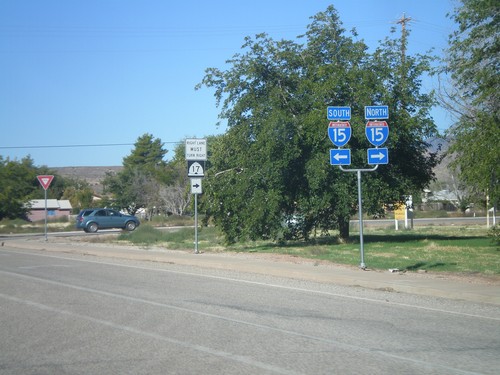
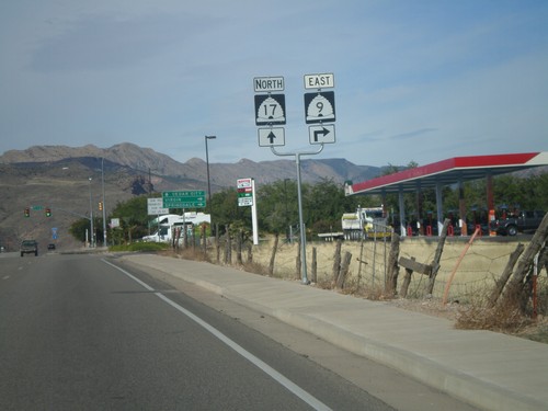
UT-9 West at UT-17
UT-9 West at UT-17. For I-15 north turn right for UT-17; for I-15 south turn left for UT-9.
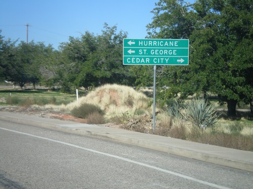
UT-9 West at UT-17
UT-9 west at UT-17 in La Verkin. Turn right on UT-17 for Cedar City. Turn left on UT-9 west for Hurricane and St George.
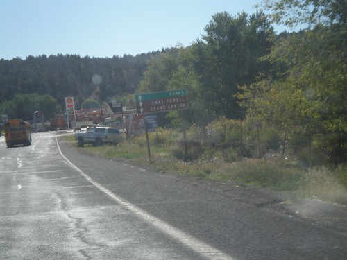
US-89 South Approaching UT-9
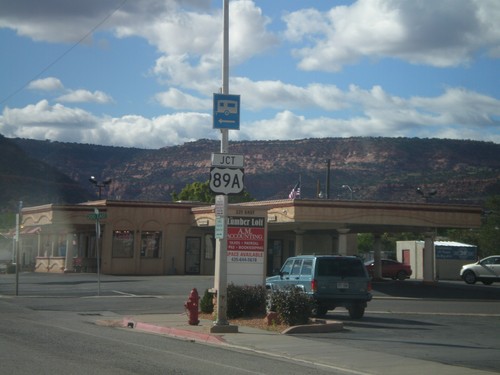
US-89 south approaching UT-9. Continue south on UT-9 for Kanab, Lake Powell, and Grand Canyon.
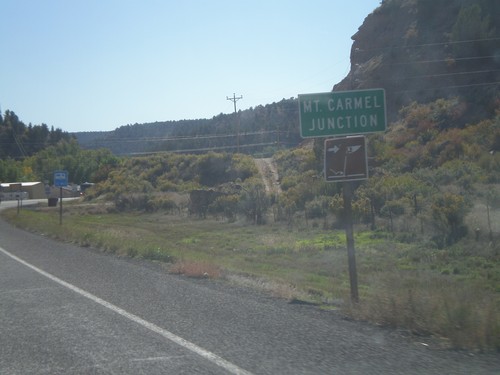
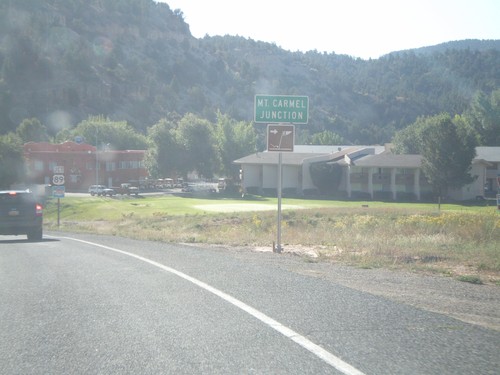
Entering Mt. Carmel Junction on US-89 South
Entering Mt. Carmel Junction on US-89 south Mt. Carmel Junction is at the junction of UT-9 and US-89 on the east side of Zion National Park.
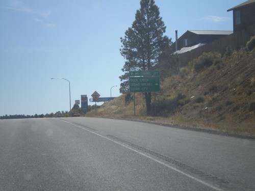
US-89 South at UT-14
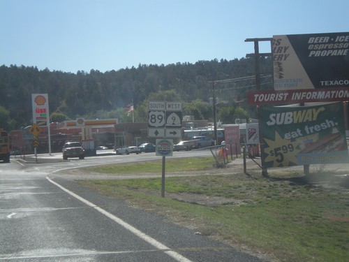
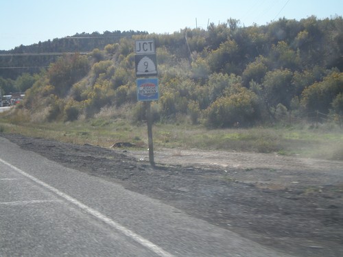
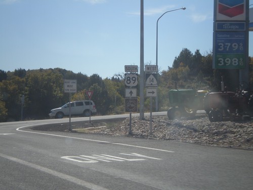
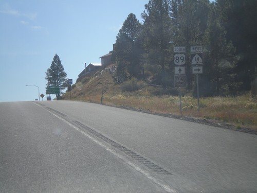
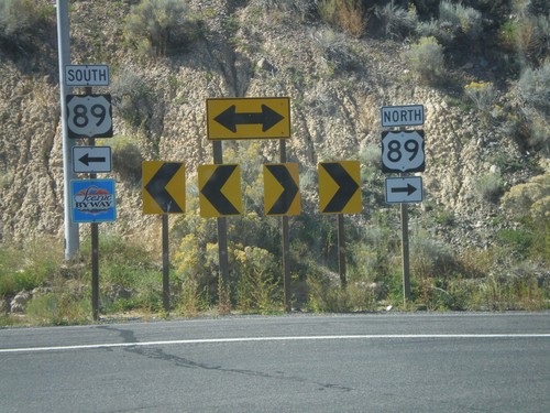
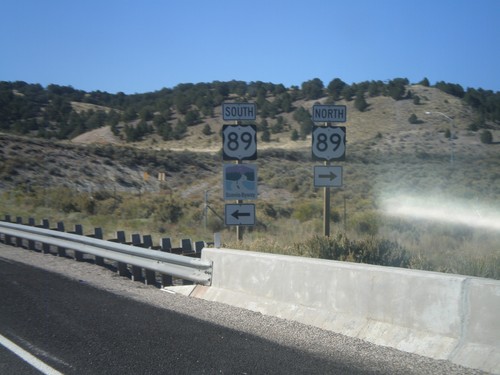
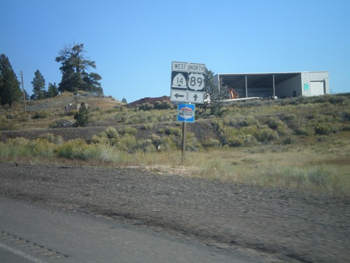
UT-89 south at UT-14 west to Duck Creek, Cedar Breaks (National Monument), and Cedar City. Continue south on US-89 for Mt. Carmel Junction.
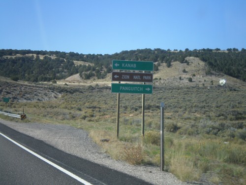
UT-12 West Approaching US-89
UT-12 west approaching US-89. Use US-89 south for Kanab and Zion National Park; use US-89 north for Panguitch.
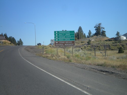
US-89 North Approaching UT-14
US-89 North approaching UT-14 at Long Valley Junction. Use UT-14 west for Cedar City, Duck Creek, and Cedar Breaks National Monument. Continue north on US-89 for Panguitch and Salt Lake.
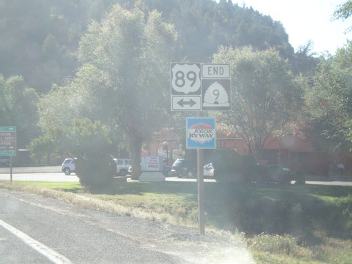
End UT-9 East at US-89
End UT-9 East at US-89 at Mt. Carmel Junction. US-89 is marked as a Utah Scenic Byway.
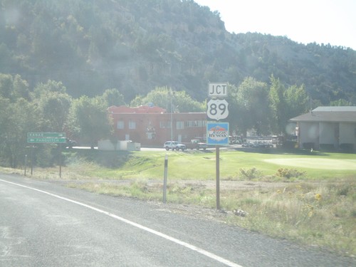
UT-9 East Approaching US-89
UT-9 East approaching US-89 at Mt. Carmel Junction. US-89 is signed as a Utah Scenic Byway.
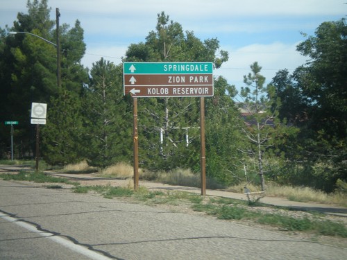
UT-9 East - Kolob Reservoir Jct.
UT-9 East at turnoff to Kolob Reservoir. Continue ahead on UT-9 for Zion National Park and Springdale.
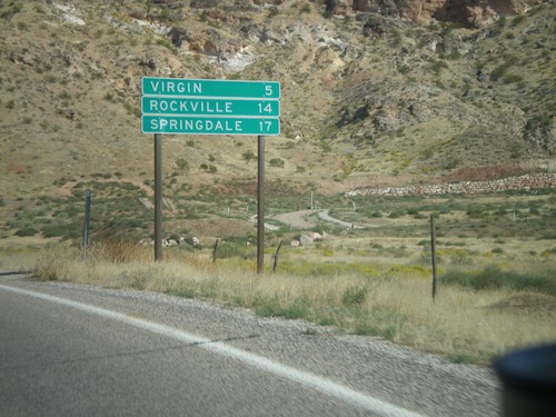
UT-9 East - Distance Marker
Distance marker on UT-9 east for Virgin, Rockville, and Springdale. Springdale is at the west entrance to Zion National Park.
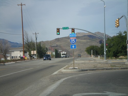
Use UT-17 North for I-15
UT-9 east at UT-17. Turn right to continue east on UT-9. Continue ahead on for UT-17 and for I-15 north.
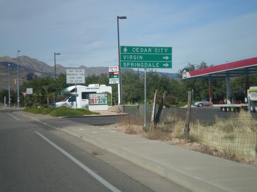
UT-9 East Approaching UT-17
UT-9 East approaching UT-17. Use UT-9 east for Virgin and Springdale; use UT-17 north for Cedar City.
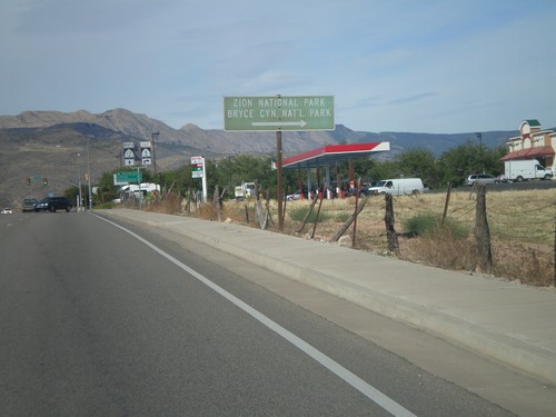
UT-9 East Approaching UT-17
UT-9 east approaching UT-17. Use UT-9 east (right turn) for Bryce Canyon and Zion National Parks.
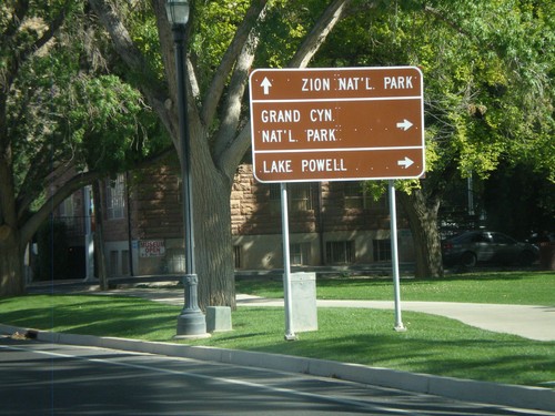
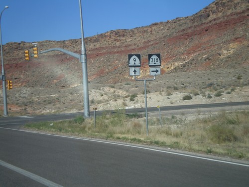
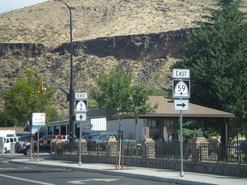
UT-9 East at UT-59
UT-9 east at UT-59. Use UT-59 east for Grand Canyon National Park and Lake Powell. Continue east on UT-9 for Zion National Park.
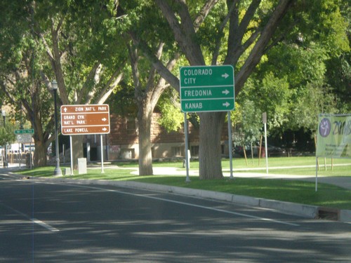
UT-9 East Approaching UT-59
UT-9 east approaching UT-59. Use UT-59 east for Colorado City (AZ), Fredonia (AZ), and Kanab.
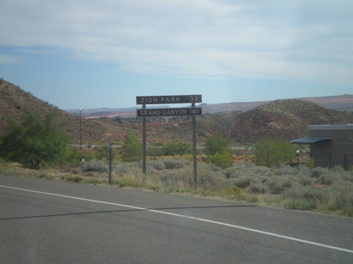
Distance Marker on UT-9 East
Distance Marker on UT-9 east. Distance to Zion (National) Park and Grand Canyon (National Park).
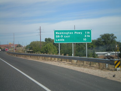
I-15 North - Distance Marker
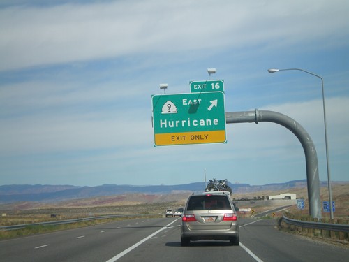
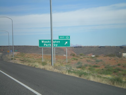
Distance marker on I-15 north to Washington Parkway, SR-9 East, and Leeds.
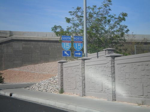
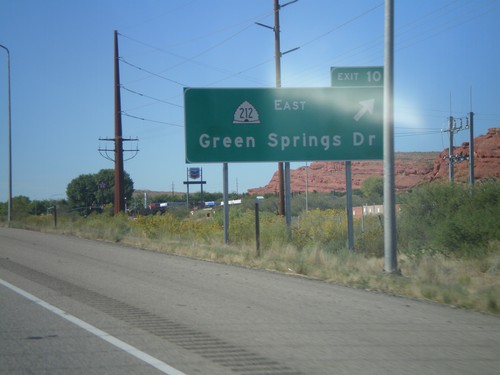
UT-212 (Green Springs Drive) at I-15
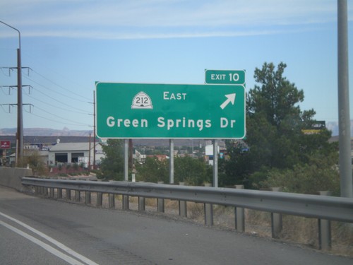
UT-212 at I-15 onramps (Exit 10). Turn right for I-15 north; continue under the freeway for I-15 south.
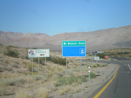
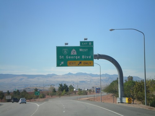
I-15 North at Exit 8 Offramp
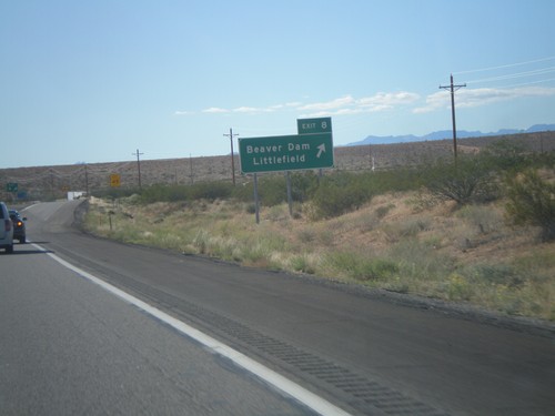
I-15 north at Exit 8 offramp. Turn left for Beaver Dam and the Arizona DOT Littlefield shop.
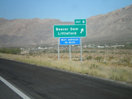
I-15 North - Exit 8
I-15 north at Exit 8 - Littlefield/Beaver Dam. This is the first exit on i-15 north in Arizona. The next services along I-15 are 30 miles north in St. George (Utah).
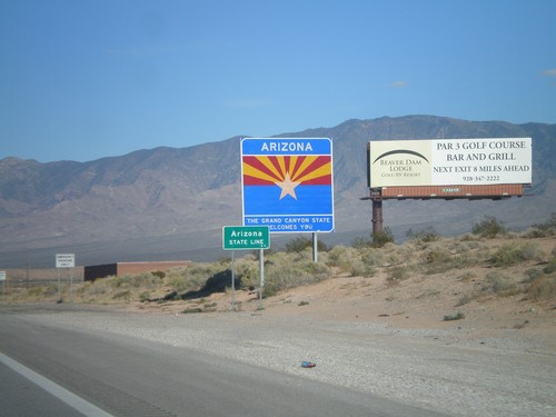
I-15 North - Welcome To Arizona
Welcome To Arizona on I-15 north at the Nevada-Arizona state line. The larger sign says Arizona: The Grand Canyon State Welcomes You. The smaller sign says Arizona State Line. The smaller sign appears on most Arizona interstates entering or leaving Arizona.
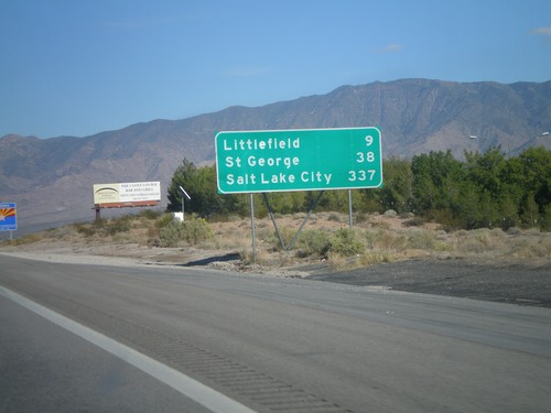
I-15 North - Distance Marker
Last distance marker in Nevada on I-15 north. Distance to Littlefield (Arizona), St. George (Utah), and Salt Lake City (Utah). The Arizona Welcome Sign can be seen in the background.
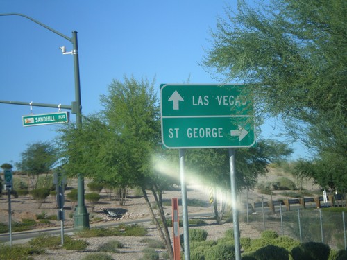
BL-15 North (Sandhill Blvd) at I-15
Northern end of Mesquite business loop at I-15. Use I-15 north for St. George (Utah); use I-15 south for Las Vegas.
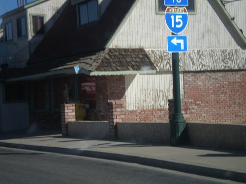
BL-15 - Mesquite Blvd. at Sandhill Blvd.
BL-15 - Mesquite Blvd. at Sandhill Blvd. Turn left on Sandhill Blvd. for I-15.
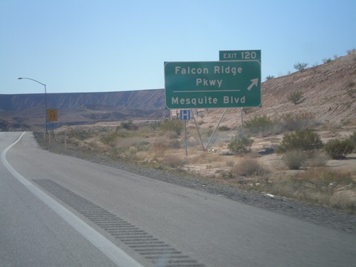
I-15 South - Exit 120
I-15 south at Exit 120 - Falcon Ridge Parkway/Mesquite Blvd. This is the southern end of the Mesquite business loop.
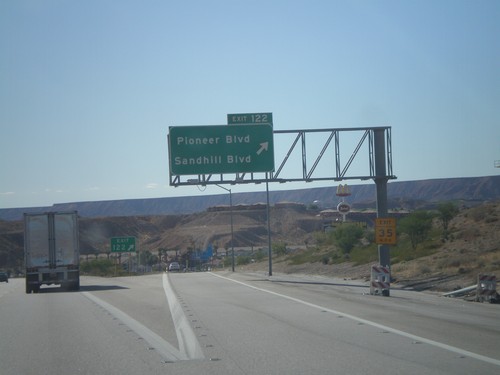
I-15 South - Exit 122
I-15 south at Exit 122 - Pioneer Blvd./Sandhill Blvd. This is the first exit in Nevada on I-15 southbound. This is also the northern end of the Mesquite Business Loop.
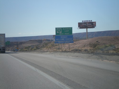
I-15 South - BL-15 Next Right
I-15 south approaching Exit 122. Use Exit 122 for BL-15 and Nevada Welcome Center. This is the north end of the Mesquite Business Loop.
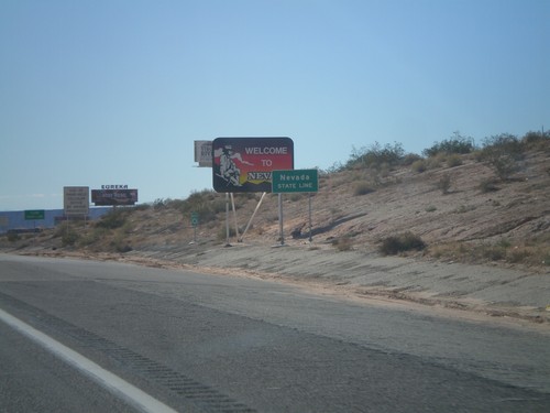
I-15 South - Welcome To Nevada
Welcome To Nevada on I-15 south. Taken at the Nevada-Arizona State Line. The green Nevada State Line sign in the foreground was placed by the Arizona DOT.
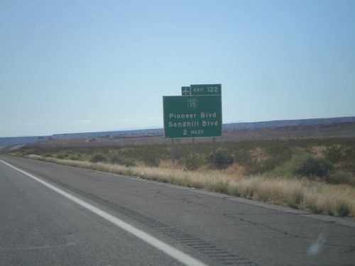
I-15 South Approaching Exit 122
I-15 south approaching Exit 122 (Nevada) - BL-15/Pioneer Blvd/Sandhill Blvd. BL-15 is not signed on the actual interchange within Nevada.
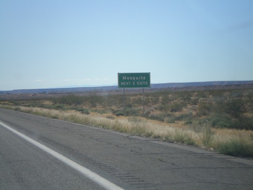
I-15 South - Mesquite Next Two Exits
Mesquite (Nevada) Next Two Exits on I-15 south. This was taken on the Arizona side of the border.
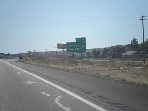
I-15 South - Exit 9
I-15 south at Exit 9 - Desert Springs. This interchange used to be labeled Farm Road.
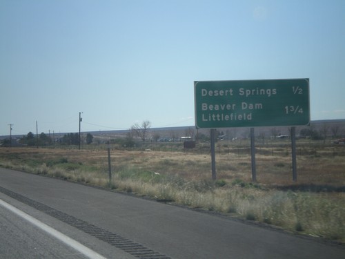
I-15 South Approaching Exits 9 and 8
I-15 south approaching Exit 9 - Desert Springs and approaching Exit 8 - Littlefield/Beaver Dam.
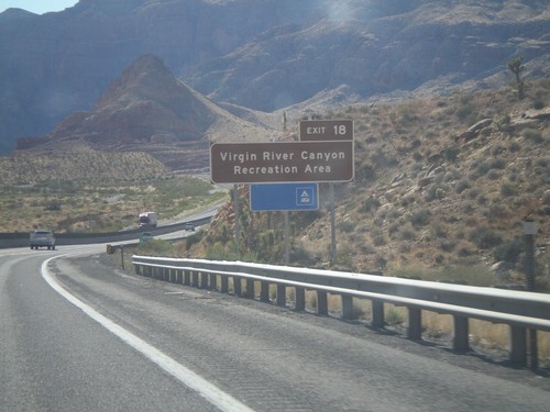
I-15 South Approaching Exit 18
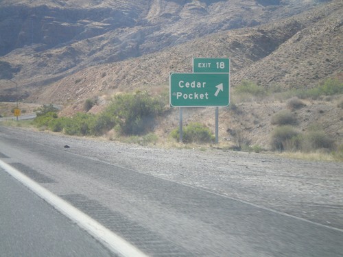
I-15 South approaching Exit 18. Use Exit 18 for the Virgin Canyon Recreation Area.
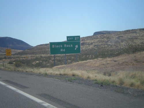
I-15 South - Exit 27
I-15 south at Exit 27 - Black Rock Road. This is the first exit on I-15 south in Arizona.
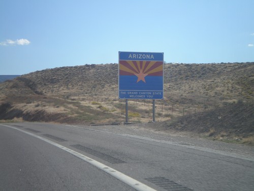
I-15 South - Welcome To Arizona
Welcome to Arizona on I-15 south at the Arizona-Utah Border. The sign reads Arizona: The Grand Canyon State Welcomes You.
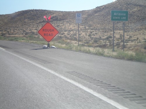
I-15 South - Arizona State Line
I-15 south at the Arizona State Line. Taken at the Arizona-Utah state line.
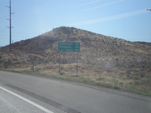
I-15 South - Distance Marker
Distance marker on I-15 south. Distance to Littlefield (Arizona), Mesquite (Nevada), and Las Vegas (Nevada).
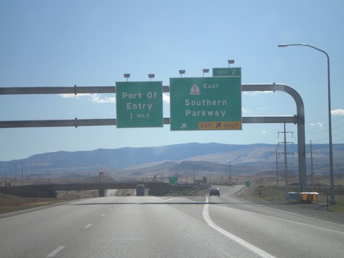
I-15 South - Exit 2
I-15 south at Exit 2 - UT-7 East/Southern Parkway. This is the south eastern end of the new St. George beltway.
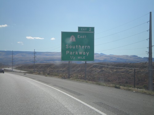
I-15 South Approaching Exit 2
I-15 south approaching Exit 2 - UT-7 East/Southern Parkway. This is the last exit in Utah on I-15 south.
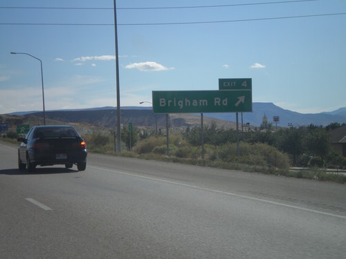
I-15 South - Exit 4
I-15 south at Exit 4 - Brigham Road. This interchange formerly was signed as Bloomington.
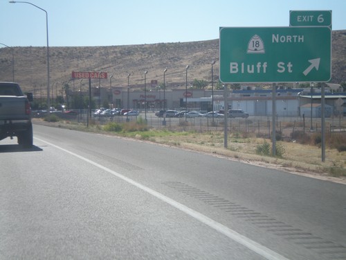
I-15 South - Exit 6
I-15 south at Exit 6 - UT-18/Bluff St. This is the southern end of the St. George business loop.
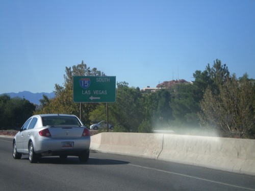
Begin UT-34/BL-15 at I-15 South
Begin UT-34/BL-15 at I-15 South to Las Vegas (Nevada). This is the northern end of the St. George Business Loop.
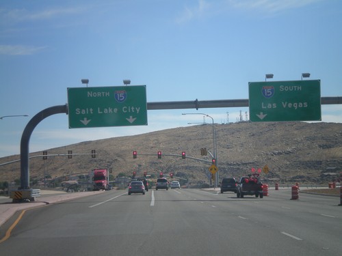
UT-18/BL-15 South at I-15
UT-18/BL-15 South at I-15. Use I-15 south for Las Vegas (Nevada); use I-15 north for Salt Lake City.
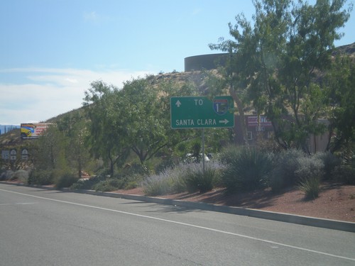
UT-18 South Approaching UT-8
UT-18 South approaching UT-8 west to Santa Clara. Continue south on UT-18 for I-15.
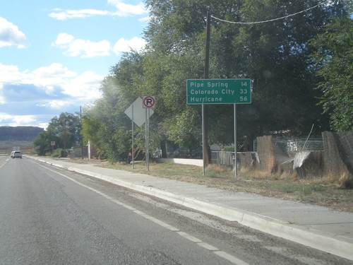
AZ-389 West - Distance Marker
Distance marker on AZ-389 west in Fredonia. Distance to Pipe Spring, Colorado City, and Hurricane (Utah).
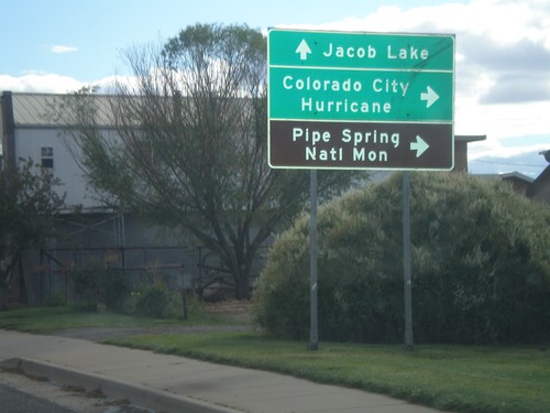
US-89A South at AZ-389
US-89A South at AZ-389 in Fredonia. Turn right on AZ-389 west for Colorado City, Hurricane (Utah), and Pipe Spring National Monument. Continue south on US-89A for Jacob Lake.
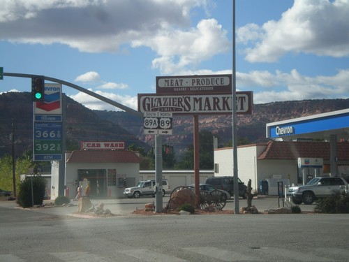
US-89 North at US-89A
US-89 north at US-89A. Turn left for US-89A; right to continue north on US-89. Until recently US-89A in Utah was marked as UT-11.
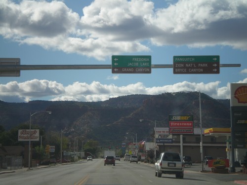
US-89 North Approaching US-89A
US-89 North approaching US-89A. Use US-89A south for Fredonia, Jacob Lake, and Grand Canyon (all destinations in Arizona). Continue north on US-89 north for Panguitch, Zion National Park, and Bryce Canyon National Park.
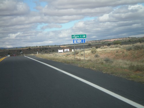
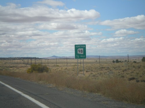
AZ-98 North at Shonto Jct.
AZ-98 North at Shonto Jct. Food, gas, and phone access available in Shonto.
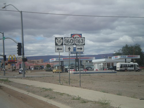
US-160 West at US-163 and Navajo IR-591
US-160 West at US-163 and Navajo IR-591. Turn right for US-163 east; turn left for Navajo IR-591.
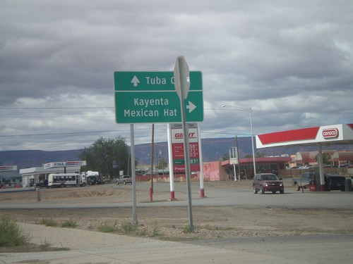
US-160 West at US-163
US-160 West at US-163 in Kayenta. Use US-163 north for Kayenta and Mexican Hat. Use US-160 west for Tuba City. This is the western end of US-163.
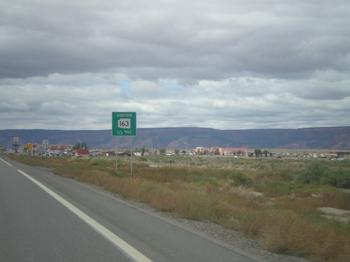
US-160 West Approachign US-163
US-160 west approaching US-163. US-163 is incorrectly marked here as AZ-163.
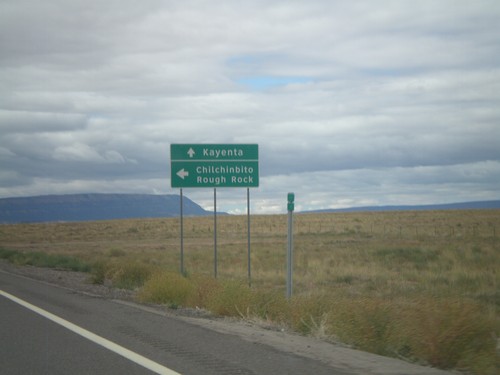
US-160 West at Navajo IR-59
US-160 West at Navajo IR-59 south to Chilchinbito and Round Rock. Continue west on US-160 for Kayenta.
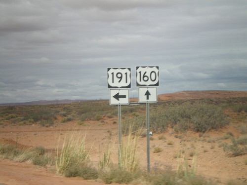
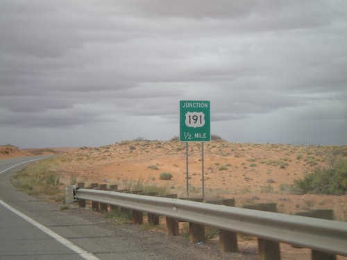
US-160 West/US-191 South at US-191 South
US-160 West/US-191 South at US-191 South in rural Apache County.
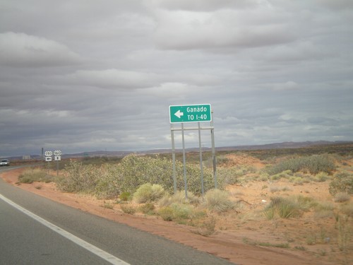
US-160 West/US-191 South Approaching US-191 South
US-160 West/US-191 South approaching US-191 south to I-40 and Ganado. The US-191 and US-160 shields are in the background of the photo.
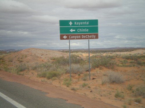
US-160 West/US-191 South Approaching US-191 South
US-160 West/US-191 South approaching US-191 South to Chile, and Canyon De Chelly (National Monument). Continue west on US-160 for Kayenta.
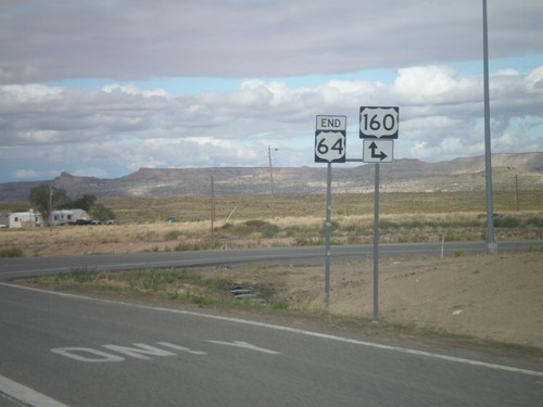
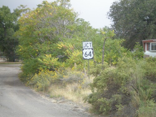
End US-64 West at US-160
End US-64 west at US-160 in Teec Nos Pos. Turn right for US-160 east; continue ahead for US-160 west.
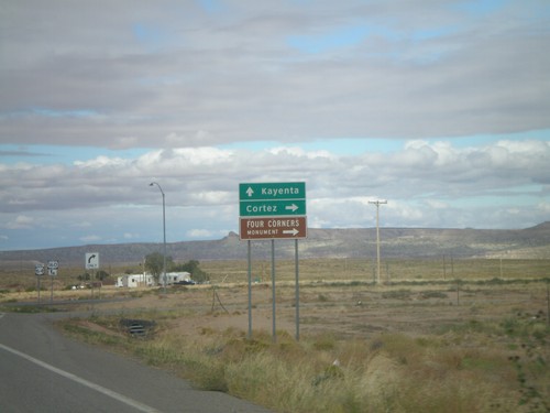
End US-64 West Approaching US-160
End US-6A4 west approaching US-160. Turn right for US-160 east to Cortez (Colorado) and Four Corners National Monument. Continue ahead for US-160 east to Kayenta.
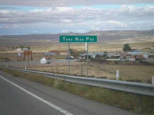
US-64 West - Teec Nos Pos
Entering Teec Nos Pos on US-64 west. This is the first community in Arizona on US-64 west, and also the closest community to Four Corners.
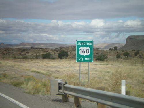
US-64 West Approaching US-160
US-64 West approaching US-160. This is the western end of US-64. The eastern end of US-64 is in Nags Head, North Carolina.
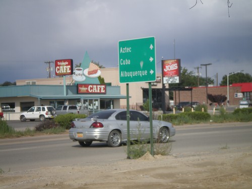
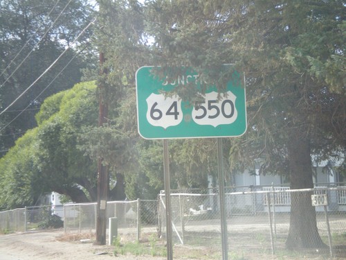
US-64 East at US-550 South
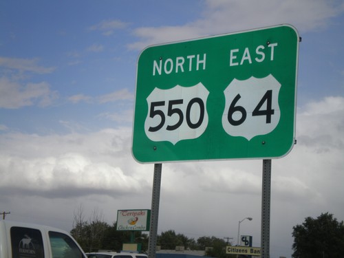
US-64 east at US-550 South. US-550 joins US-64 east through Bloomfield. Turn south on US-550 for Cuba and Albuquerque; continue ahead on US-64 East/US-550 North for Aztec.
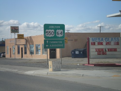
US-64 West/US-550 South at US-550 South
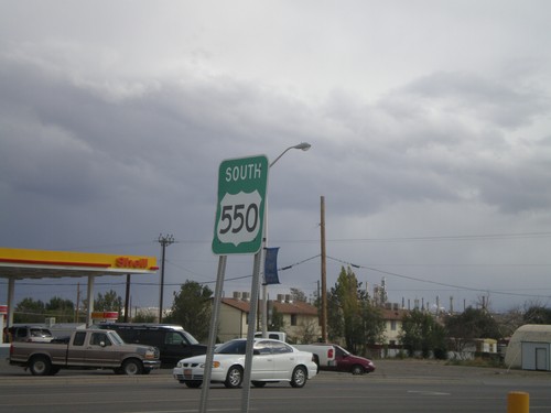
US-64 West/US-550 South at US-550 South. Turn left on US-550 south for Albuquerque. Continue ahead for US-64 west to Farmington.
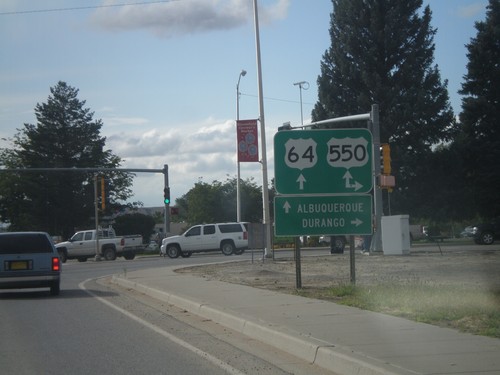
US-64 West at US-550
US-64 west at US-550. US-550 south joins US-64 west through Bloomfield. Turn north on US-550 for Durango (Colorado). Continue ahead on US-64/US-550 for Albuquerque.
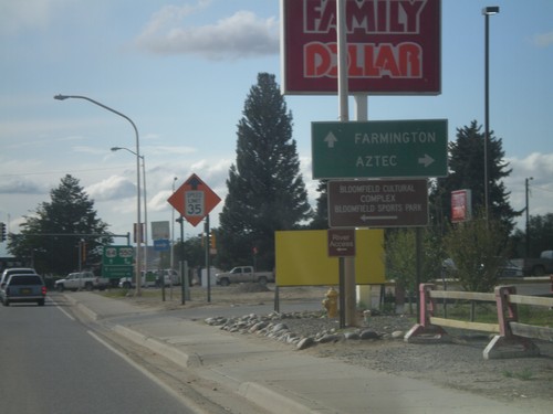
US-64 West Approaching US-550
US-64 west approaching US-550. Use US-550 north for Aztec. Continue ahead for US-64 West/US-550 South to Farmington.
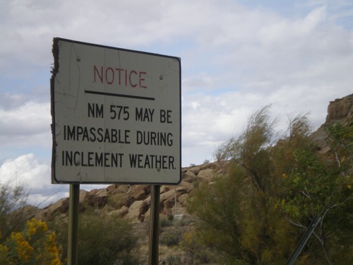
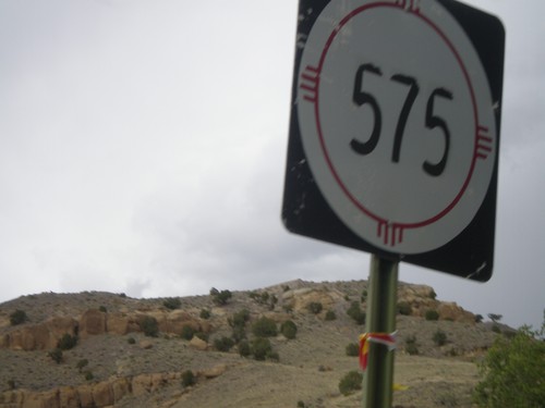
NM-575 - Inclement Weather Warning
NM-575 may be impassable in inclement weather, notice on NM-575 north. The author attempted to drive NM-575 north from Blanco to Aztec a few days after rains in the fall and was turned back by a section of deep mud.
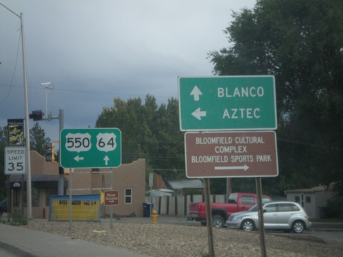
US-64 East/US-550 North at US-550 North
US-64 East/US-550 North at US-550 North. Use US-550 north for Aztec; continue east on US-64 for Blanco.
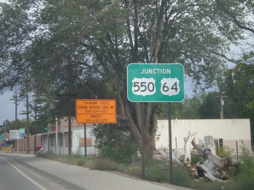
US-64 East/US-550 North Approaching US-550 North
US-64 East/US-550 North approaching US-550 north in Bloomfield.
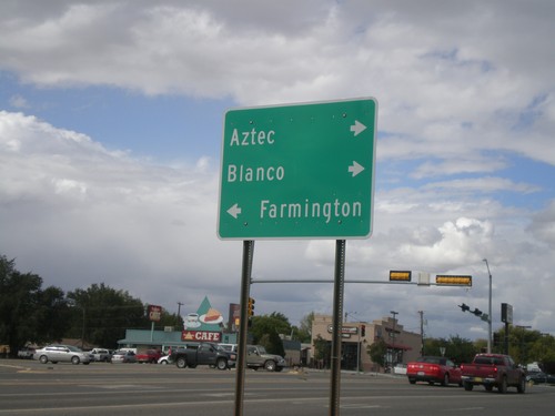
US-550 North at US-64
US-550 north at US-64. Turn right for US-550 North/US-64 East for Aztec and Blanco. Turn left for US-64 West to Farmington.
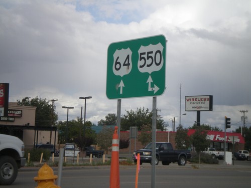
US-64 East at US-550
US-64 east at US-550. Turn right for US-550 south; continue ahead for US-64 East/US-550 North. US-550 joins US-64 through Bloomfield.
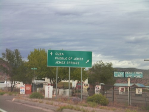
US-550 North at NM-4
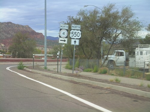
US-550 north at NM-4 north to Jemez Pueblo and Jemez Springs. Continue north on US-550 for Cuba.
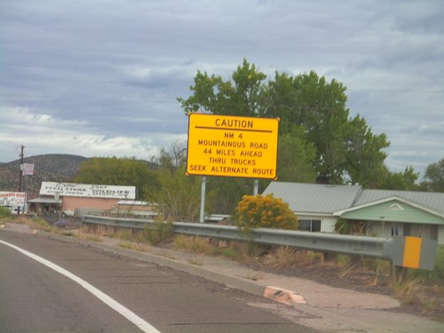
US-550 North Approaching NM-4
US-550 north approaching NM-4. NM-4 is a mountainous road 44 miles north of here and is not advised for trucks.
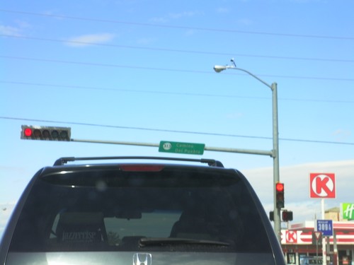
US-550 North at NM-313
US-550 north at NM-313 - Camino del Pueblo. This type of sign attached to traffic lights with a highway shield is common throughout New Mexico.
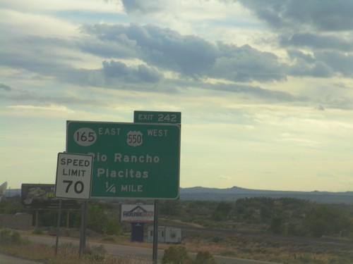
I-25 South - Exit 242
I-25 south approaching Exit 242 - US-550 West/NM-165 East/Rio Rancho/Placitas. This is the southern end of US-550. The speed limit drops from 75 miles per hour to 70 miles per hour as the highway enters the edge of the Albuquerque metropolitan area.
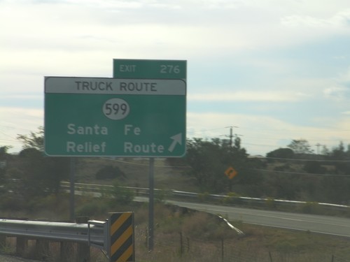
I-25 South - Exit 276
I-25 south at Exit 276 - NM-599/Santa Fe Relief Route. NM-599 is the truck route around the north side of Santa Fe.
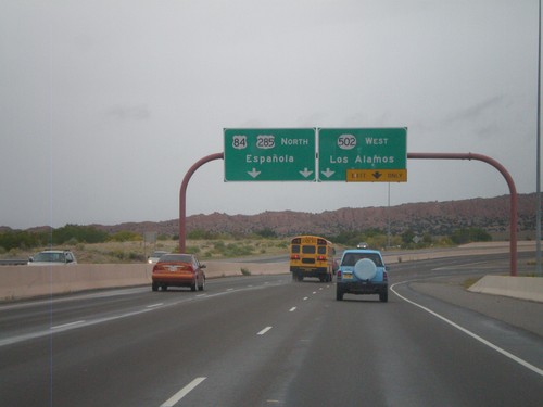
US-84/US-285 North - NM-502 Jct.
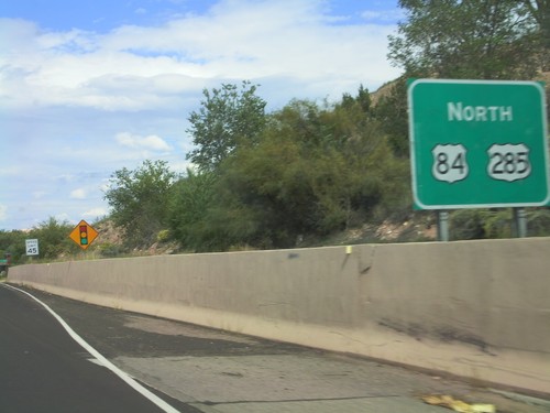
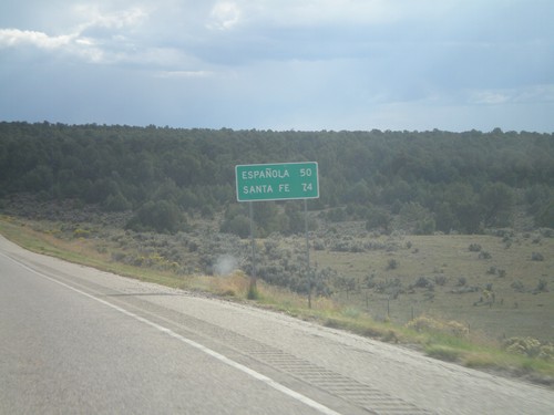
US-84/US-285 North - NM-502 West/Los Alamos exit. Continue north on US-84/US-285 North to Española.
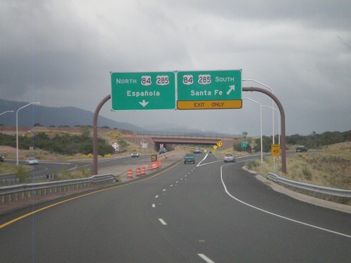
End NM-599 East at US-84/US-285
End NM-599 (Santa Fe Relief Route) east at US-84/US-285. Use US-84/US-285 north for Española. Use US-84/US-285 south for Santa Fe.
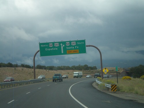
End NM-599 East at US-84/US-285
End NM-599 (Santa Fe Relief Route) east at US-84/US-285. Use US-84/US-285 north for Española; use US-84/US-285 south for Santa Fe.
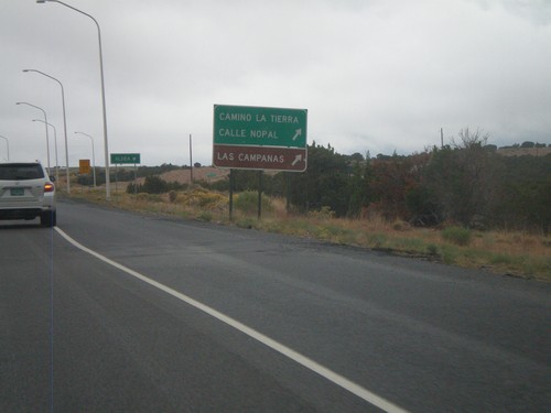
NM-599 East at Camino La Tierra
NM-599 east at Camino La Tierra/Calle Nopal interchange. Also use this exit for Las Campanas.
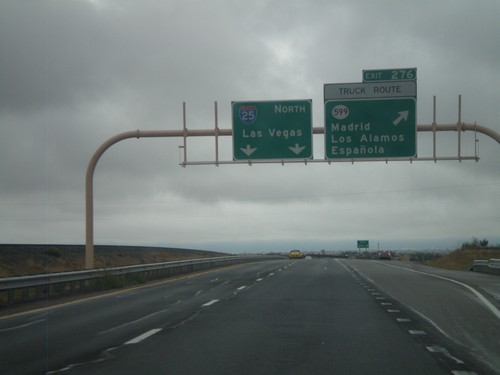
I-25 North - Exit 276
I-25 north at Exit 276 - NM-599/Madrid/Los Alamos/Española. NM-599 is the truck route around Santa Fe. I-25 continues north to Las Vegas.
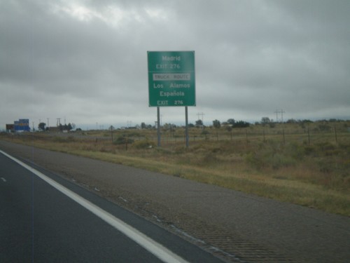
I-25 North Approaching Exit 276
I-25 north approaching Exit 276 (NM-599). Use Exit 276 for Los Alamos, Española, Madrid. NM-599 is the truck route around Santa Fe.
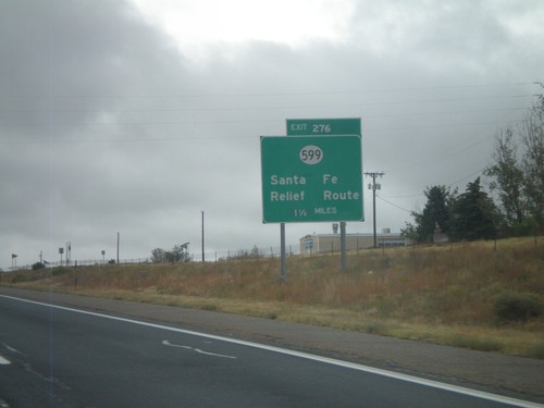
I-25 North - Exit 276
I-25 North at Exit 276 - NM-599/Santa Fe Relief Route. NM-599 is the truck route around Santa Fe.
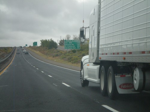
I-25 North - Santa Fe Exits
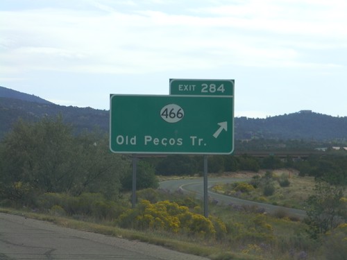
Santa Fe Exits on I-25 north - NM-599, Cerrillos Road, St Francis Drive, and Old Pecos Trail.
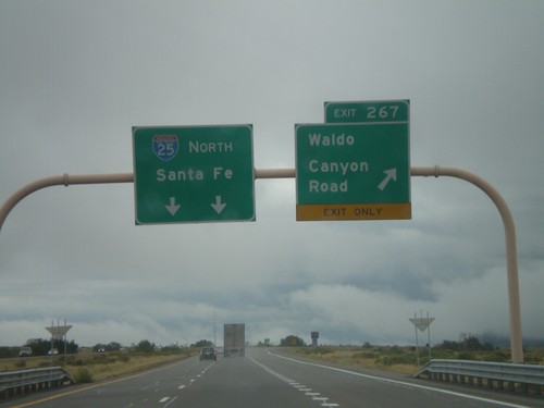
I-25 North - Exit 267
I-25 north at Exit 267 - Waldo Canyon Road. I-25 continues north towards Santa Fe.
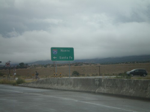
End US-550 South at I-25 North
End US-550 South at I-25 north to Santa Fe. NM-165 begins here and heads towards Placitas.
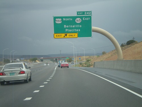
I-25 North - Exit 242
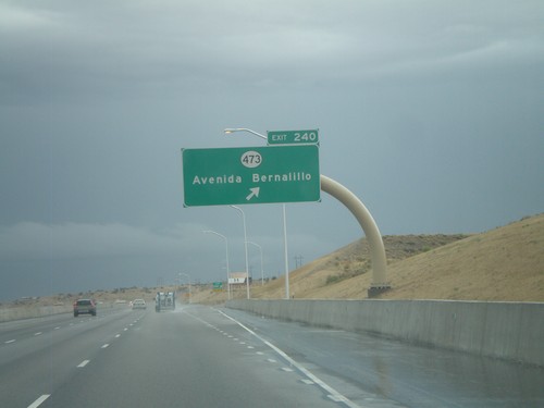
I-25 north at Exit 242 - US-550 North/NM-165 East/Bernalillo/Placitas. This is the southern end of US-550.
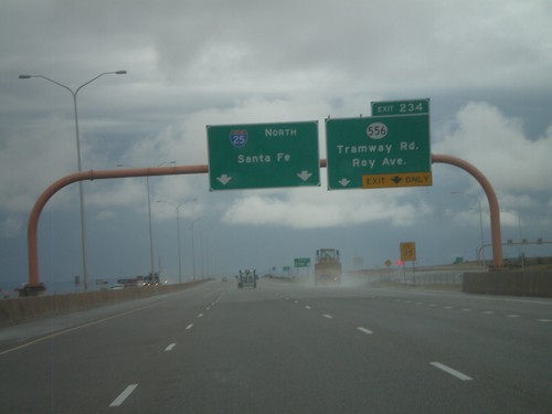
I-25 North - Exit 234
I-25 north at Exit 234 - NM-556/Tramway Road/Roy Ave. This is the last exit in Albuquerque on I-25 north. Use NM-556 east for the Sandia Peak Tramway. Continue north on I-25 for Santa Fe.
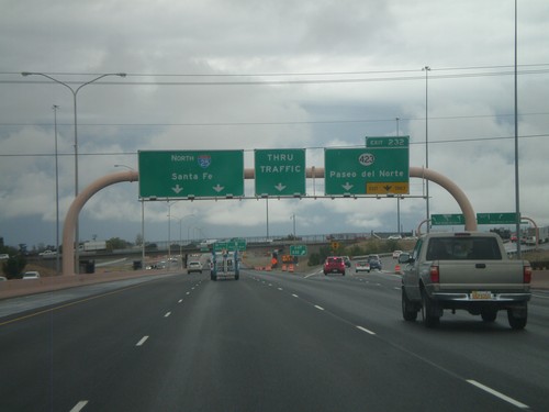
I-25 North - Exit 232
I-25 north at Exit 232 - NM-423/Paseo del Norte. Continue north on I-25 for Santa Fe.
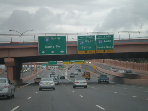
I-25 North - Exits 226A and B
I-25 north at Exit 226A - I-40 East/Santa Rosa. Exit 226B - I-40 West/Gallup. Continue north on I-25 for Santa Fe.
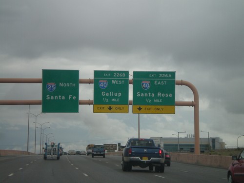
I-25 North - Exits 226A and B
I-25 North approaching Exit 226A - I-40 East/Santa Rosa. Also approaching Exit 226B - I-40 West/Gallup. I-25 continues north towards Santa Fe.
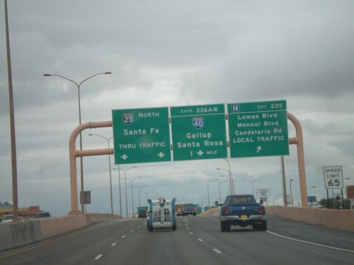
I-25 North - Exits 225 and 226AB
I-25 north at Exit 225 - Lomas Blvd./Menaul Blvd./Candelaria Road./LOCAL TRAFFIC. Approaching Exits 226AB - I-40/Gallup/Santa Rosa. Continue north on I-25 for Santa Fe.
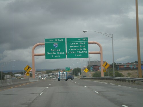
I-25 North - Exits 225 and 226AB
I-25 north approaching Exit 225 - Lomas Blvd./Menaul Blvd./Candelaria Road/LOCAL TRAFFIC. Also approaching Exits 226AB - I-40/Gallup/Santa Rosa.
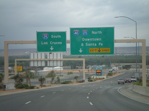
Sunport Blvd. West Approaching I-25
Sunport Blvd. West approaching I-25. Use right lanes for I-25 North/(To)I-40/Downtown (Albuquerque)/Santa Fe. Use left lanes for I-25 South/Las Cruces.
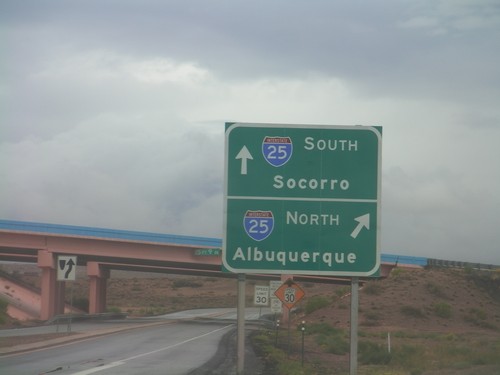
End BL-25 North at I-25
End BL-25 north at I-25. Use I-25 north for Albuquerque; use I-25 south for Socorro. This is the northern end of the Belen business loop.
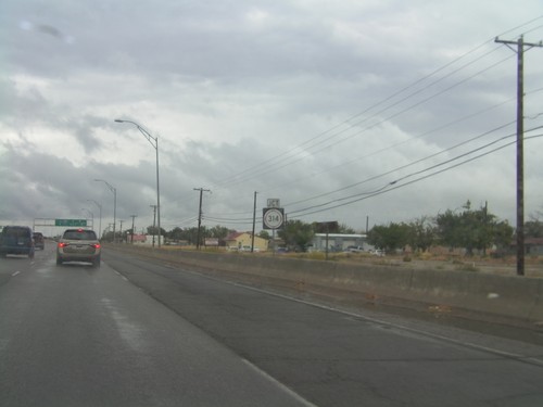
NM-314 North/BL-25 North Approaching Split
NM-314 North/BL-25 North approaching split. Use right lanes for NM-314 north towards Las Lunas. Use left lanes for BL-25 North towards I-25.
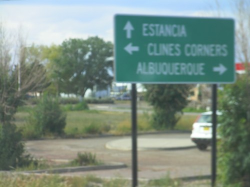
NM-41 South at BL-40
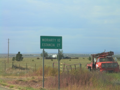
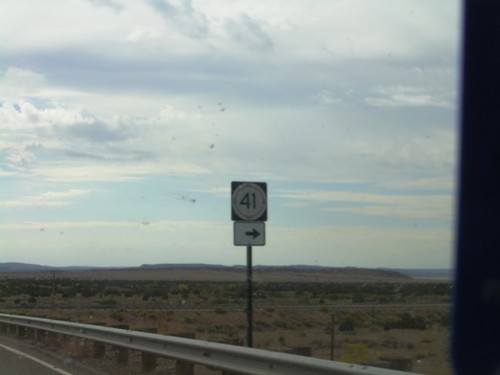
NM-41 south at BL-40 in Moriarty. Use BL-40 west for Albuquerque; use BL-40 east for Clines Corners. Continue south on NM-41 for Estancia.
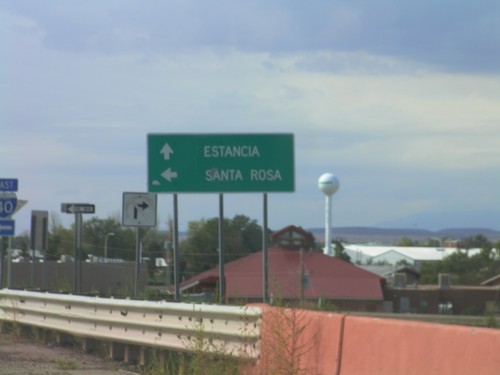
NM-41 South at I-40 East
NM-41 South at I-40 East onramp to Santa Rosa. Continue south on NM-41 for Estancia.
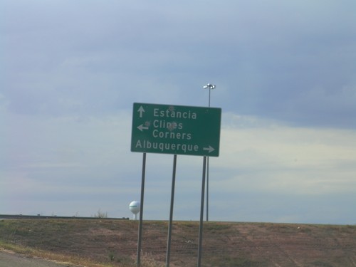
NM-41 South at I-40
NM-41 south at I-40 (Exit 196) junction. Use I-40 west for Albuquerque; use I-40 east for Clines Corners. Continue south on NM-41 for Estancia.
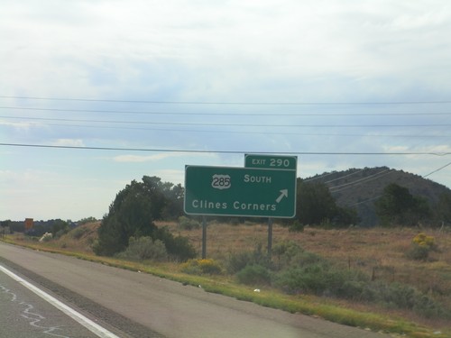
I-25 North - Exit 290
I-25 north at Exit 290 - US-285 South/Clines Corner. US-285 leaves I-25 south here.
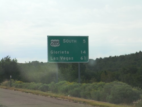
I-25 North - Distance Marker
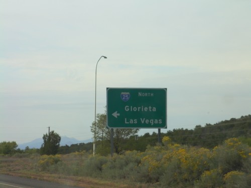
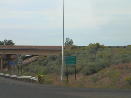
Distance marker on I-25 north, leaving Santa Fe. Distance to US-285 Jct., Glorieta, and Las Vegas.
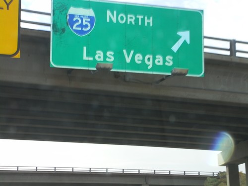
US-84/US-285 South at I-25 North
US-84/US-285 South (St. Francis Drive) at I-25 North to Las Vegas. US-285 South joins I-25 north for 8 miles. US-84 east joins I-25 north to just south of Las Vegas.
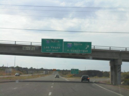
US-84/US-285 South at I-25
US-84/US-285 South (St. Francis Drive) at I-25. Use I-25 south for Albuquerque; use I-25 north for Las Vegas.
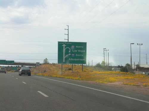
US-84/US-285 South Approaching I-25
US-84/US-285 South (St. Francis Drive) approaching I-25 in Santa Fe. Sign assembly uses a route diagram. Use I-25 north for Las Vegas; use I-25 south for Albuquerque.
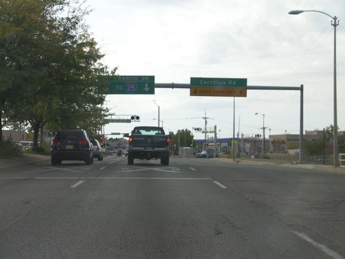
US-84/US-285 South At NM-14
US-84/US-285 South (St. Francis Drive) At NM-14 (Cerrillos Road). Use St. Francis Drive south for I-25.
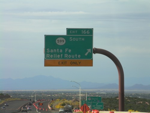
US-84/US-285 South - Exit 166
US-285 South/US-84 East at Exit 166 - NM-599 South/Santa Fe Relief Route. After this interchange, the US-84/US-285 South freeway ends and becomes St. Francis Drive, in Santa Fe.
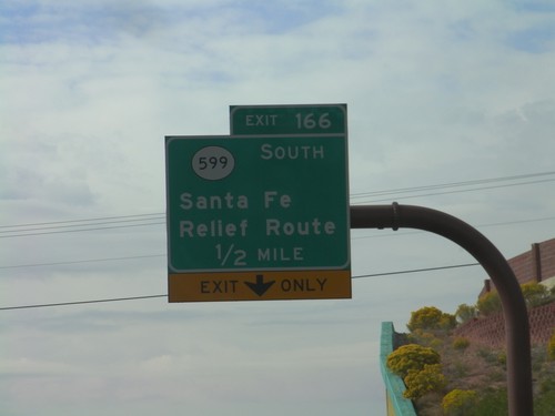
US-84/US-285 South Approaching Exit 166
US-84/US-285 South approaching Exit 166 - NM-599/Santa Fe Relief Route.
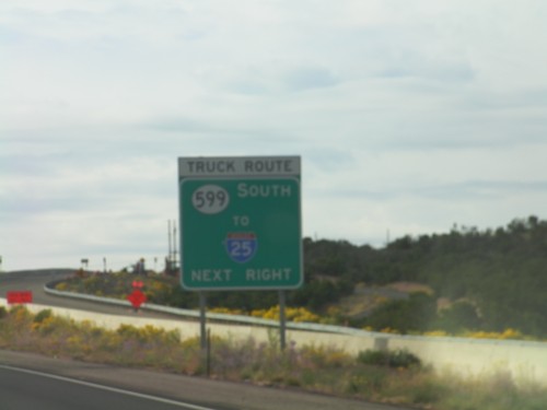
US-84/US-285 South Approaching NM-599
US-84/US-285 South approaching NM-599 (Santa Fe Relief Route). All trucks bound for I-25 use NM-599.
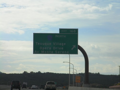
US-84/US-285 South - Exit 168
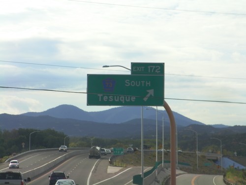
US-84/US-285 South at Exit 168 - CH-73 North/Tesuque Village/Opera Drive/Av Monte Sereno.
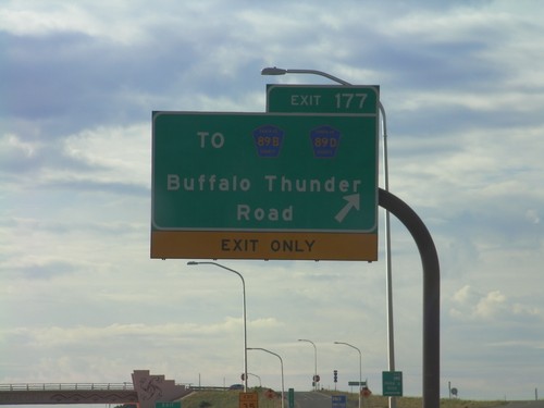
US-84/US-285 South - Exit 177
US-84/US-285 South at Exit 177 - To CH-89B/CH-89D/Buffalo Thunder Road.
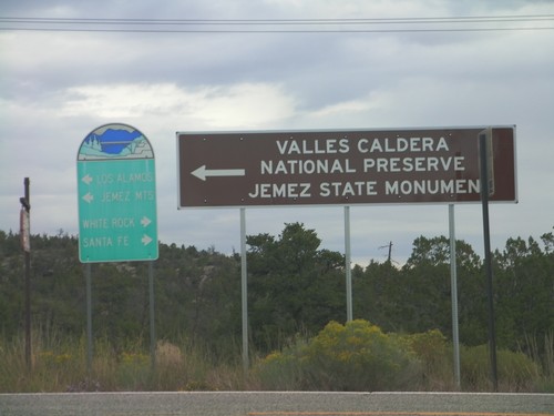
Exit of Bandelier National Monument at NM-4
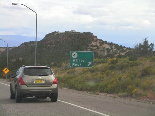
Exit of Bandelier National Monument at NM-4. Turn left on NM-4 for Valles Caldera National Reserve, and Jemez State Monument. The smaller green sign in the background is a standard kind posted around Los Alamos. Turn left on NM-4 for Los Alamos and Jemez Mountains. Turn right for White Rock and Santa Fe.
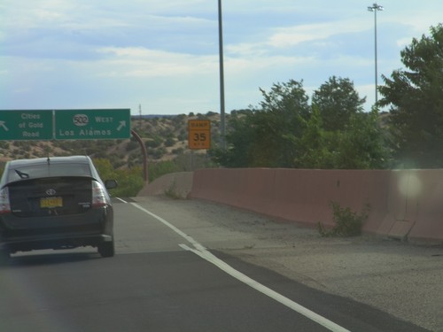
US-84/US-285 South - NM-502
US-84/US-285 South on NM-502 offramp. Merge left for Cities of Gold Road. Merge right for NM-502 West for Los Alamos.
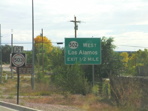
US-84/US-285 South Approaching NM-503 and NM-502
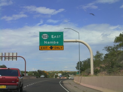
US-84/US-285 South approaching NM-503 and NM-502. The intersection with NM-503 is controlled by a stop light; the NM-502 intersection is a SPUI type interchange. Use NM-502 west for Los Alamos.
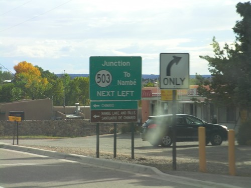
US-84/US-285 South Approaching NM-503
US-84/US-285 South approaching NM-503. Use NM-503 east for Nambé, Chimayo, Nambé Lake and Falls, and Sanitario de Chimayo.
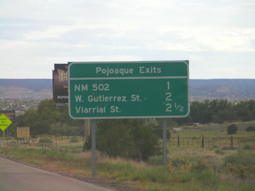
Pojoaque Exits - US-84/US-285 South
Pojoaque Exits on US-84/US-285 South: NM-502, W. Gutierrez St., Viarrial St. The later two exits are actually intersections controlled by traffic signals.
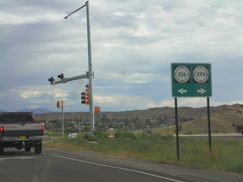
US-84/US-285 South - NM-106/NM-399 Jct.
US-84/US-285 South at NM-106/NM-399 Jct on the south side of Española. The New Mexico state highway shield is normally just a while circle minus the black border and Zia on a guide sign. In some cases the whole shield is added to the guide sign like in this case.
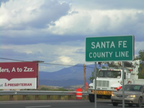
US-84/US-285 South - Santa Fe County Line
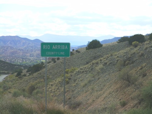
Santa Fe County Line on US-84/US-285 South. Taken on the south side of Española, which spans Rio Arriba and Santa Fe Counties.
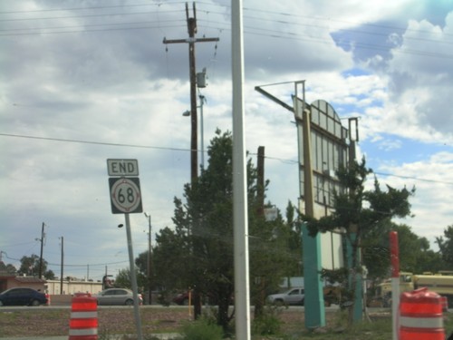
End NM-68 South at US-285/US-84
End NM-68 South at US-84/US-285 South. Traffic for US-84/US-285 North turned right a block north of here. The traffic on the right side of the pictures is US-285/US-84 merging onto NM-68.
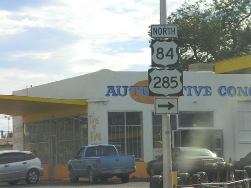
NM-68 South at US-84/US-285 North
NM-68 South (Riverside Drive) at US-84/US-285 North (Paseo de Onate) in Española. Continue south on NM-68 for US-84/US-285 South.
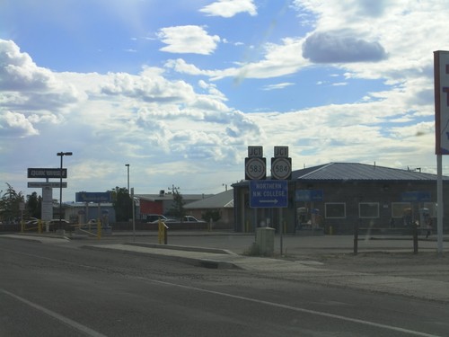
NM-68 South Approaching NM-583/NM-584
NM-68 South (Riverside Drive) approaching NM-583/NM-584 (Fairview Lane). Use NM-584 west for Northern New Mexico College.
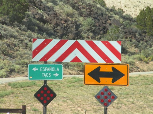
End NM-75 East at NM-68
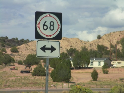
End NM-75 east at NM-68 west near the community of Embudo. Turn right (north) on NM-68 for Taos; turn left (south) on NM-68 for Española.
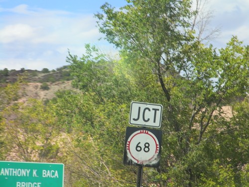
NM-75 East Approaching NM-68
NM-75 East approaching NM-68 at the Anthony K. Baca Bridge over Embudo Creek.
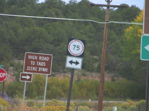
End NM-76 North at NM-75
End NM-76 north at NM-75. Turn right on NM-76 north to continue on the High Road To Taos Scenic Byway.
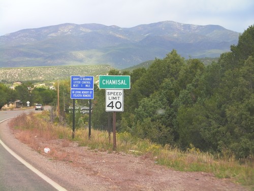
NM-76 North - Entering Chamisal
Entering Chamisal on NM-76 north. Speed Limit 40 MPH through Chamisal.
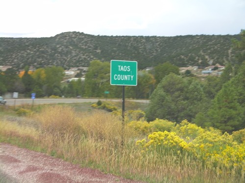
NM-76 North - Taos County
Entering Taos County on NM-76 north. County line signs in New Mexico tend to have the words "County Line" in all capital letters in a smaller font below the county name.
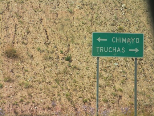
End NM-503 East at NM-76
End NM-503 east at NM-76. Turn right on NM-76 for Truchas. Turn left on NM-76 for Chimayo.
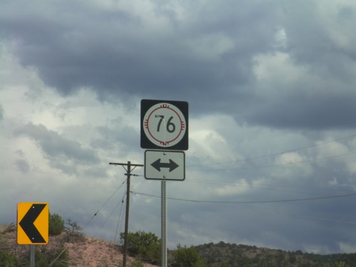
End NM-503 East at NM-76
End NM-503 East at NM-76 in rural Rio Arriba County. NM-76 is the High Road To Taos Scenic Byway.
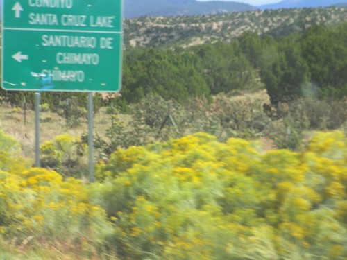
NM-503 East at CH-98
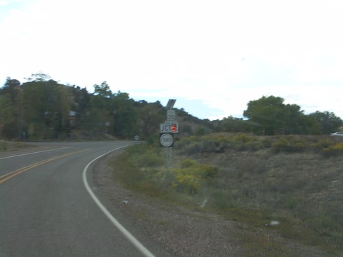
NM-503 East at CH-98 North. Use CH-98 north for Sanitario de Chimayo and Chimayo. Continue east on NM-503 for Cundiyo and Santa Cruz Lake. The High Road To Taos Scenic Byway turns left here.
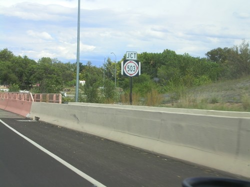
US-84/US-285 North Approaching NM-503
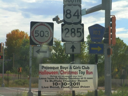
US-84/US-285 North approaching NM-503 in Pojoaque. This is the beginning of the High Road To Taos Scenic Byway.
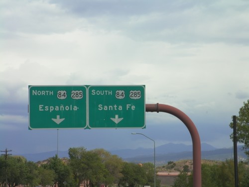
End NM-502 East at US-285/US-84
End NM-502 East at US-285/US-84. UseUS-84/US-285 North for Española; use US-84/US-285 South for Santa Fe. This is the eastern end of the Los Alamos Highway.
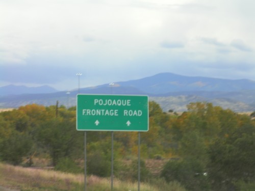
NM-502 East - Pojoaque Frontage Road
Continue ahead on NM-502 East for the Pojoaque Frontage Road. Approaching US-84/US-285 junction in Pojoaque.
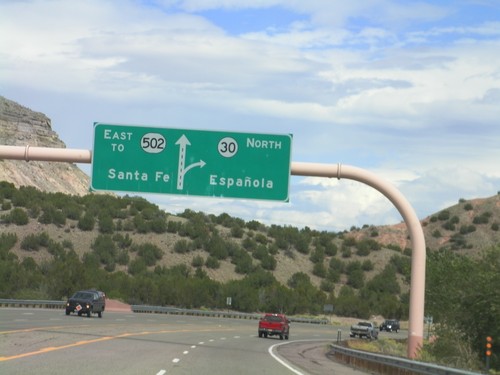
NM-502 East Approaching NM-30
NM-502 East approaching NM-30. Use NM-30 north for Española; continue east on NM-502 for Santa Fe.
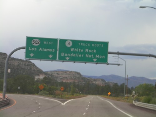
NM-502 West at NM-4
NM-502 West at NM-4. Merge right for NM-4/White Rock/Bandelier National Monument. This is the truck route into Los Alamos. Continue ahead for NM-502 west to Los Alamos.
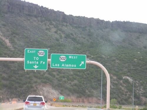
End NM-30 South at NM-520
End NM-30 South at NM-520. Use NM-520 west for Los Alamos; use NM-520 east for Santa Fe.
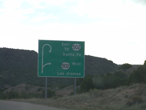
Route Diagram on NM-30 Approaching NM-502
Route Diagram on NM-30 south approaching NM-502. Use NM-502 west for Los Alamos; use NM-502 east for Santa Fe.
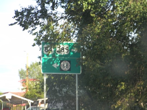
US-84/US-285 South at NM-68
US-84/US-285 South at NM-68. Turn right to continue on US-84/US-285 South. Turn left for NM-68.
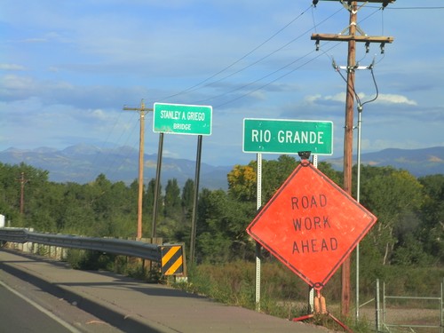
US-84/US-285 South - Rio Grande
US-84/US-285 South - Rio Grande in Española. The bridge over the Rio Grande is called the Stanley A. Griego Bridge.
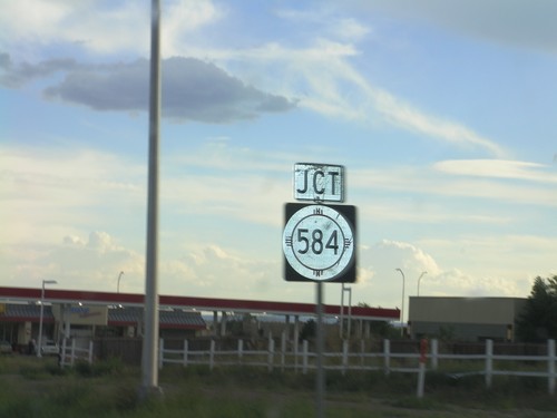
US-84/US-285 South Approaching NM-584
US-84/US-285 South approaching NM-584 (Fairview Drive) in Española.
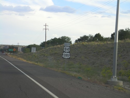
US-84/US-285 South - Rio Arriba County
US-84/US-285 South in Rio Arriba County on the outskirts of Española. Taken just south of NM-74 junction.
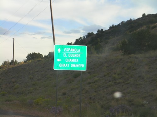
US-84/US-285 South at NM-74 East
US-84/US-285 South at NM-74 East. Turn right on NM-74 for El Duende, Chamita, Ohkay Owingeh. Continue ahead on US-84/US-285 South for Española.
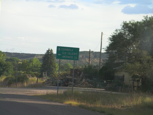
US-84 South at US-285
US-84 south at US-285. Turn left for US-285 north to Ojo Caliente and Antonio, Colorado. Continue south on US-84/US-285 South towards Española. US-285 joins US-84 south through Santa Fe.
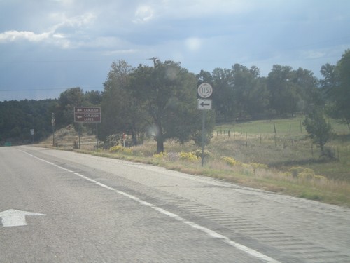
US-84 South at NM-115 East
US-84 south at NM-115 East. Use NM-115 east for Canjilon and Canjilon Lakes.
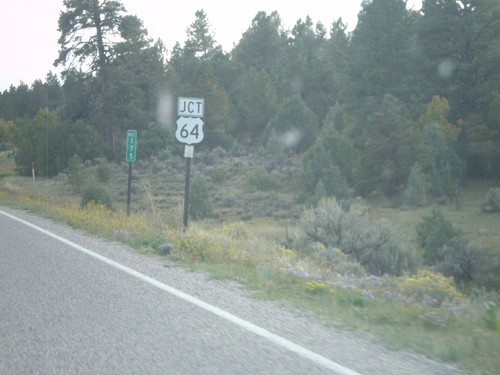
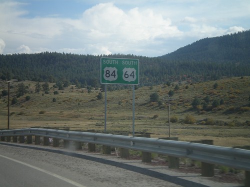
US-84 South/US-64 East At Split
US-84 South/US-64 East at Split. US-64 turns east here towards Taos. Northbound US-64 joins US-84 to west of Chama.
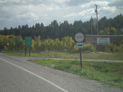
US-84 South/US-64 East at NM-531
US-84 South/US-64 East at NM-531 in Tierra Amarilla. Turn right on NM-531 for Escalante High School; left for Rio Arriba (County) Court House.
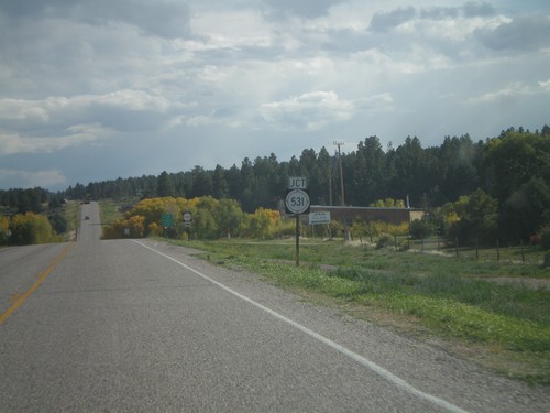
US-84 South/US-64 East Approaching NM-531
US-84 South/US-64 East approaching NM-531 in Tierra Amarilla.
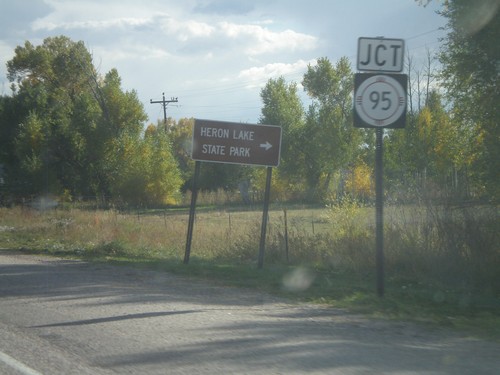
US-84 South/US-64 East Approaching NM-95
US-84 South/US-64 East approaching NM-95. Use NM-95 for Heron Lake State Park.
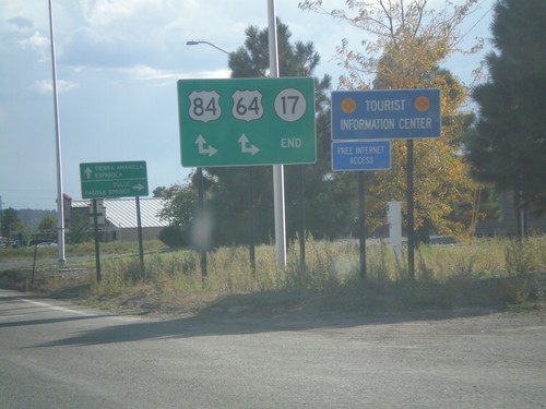
End NM-17 South at US-64/US-84
End NM-17 South at US-64/US-84 in Chama. Turn right for US-64 West/US-84 North to Dulce and Pagosa Springs (Colorado); continue ahead for US-64 East/US-84 South to Tierra Amarilla and Española.
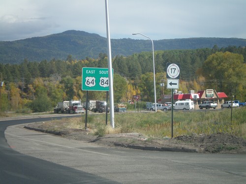
US-84 South/US-64 East at NM-17
US-84 South/US-64 East at NM-17 in Chama. Turn right to continue on US-84 South/US-64 East; turn left for NM-17.
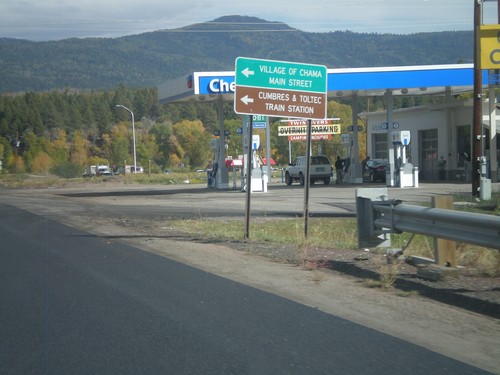
US-84 South/US-64 East at NM-17
US-84 South/US-64 East at NM-17. Use NM-17 north for Village of Chama Main St. and Cumbres and Toltec Train Station
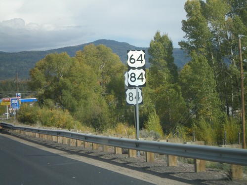
US-64/US-84 in Chama
US-64/US-84 in Chama. There were two sets of every sign when this picture was taken between US-64/US-84 junction west of here into Chama. There was road construction and it appears new signs were part of the project.
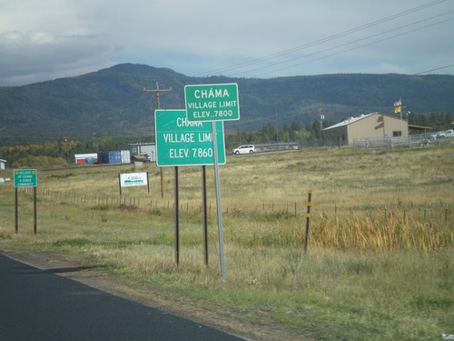
US-64 East/US-84 South - Village of Chama
US-64 East/US-84 South - Village of Chama (Elevation 7800 Feet).
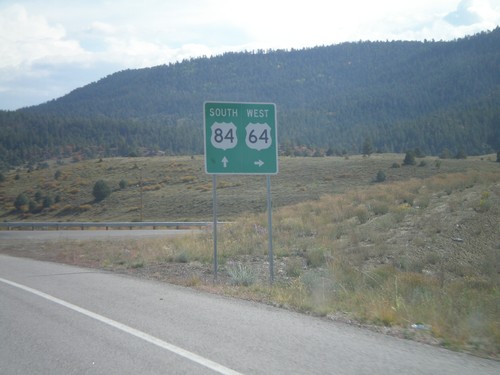
US-84 South at US-64
US-84 south at US-64 junction in Rio Arriba County. Turn left for US-64 west; continue ahead for US-84 South/US-64 east. US-64 joins US-84 through Tierra Amarilla.
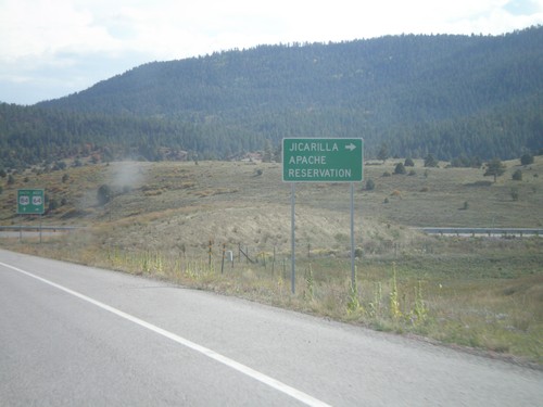
US-84 South at US-64
US-84 south at US-64 west to Jicarilla Apache Reservation. US-64 joins US-84 through Tierra Amarilla.
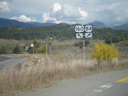
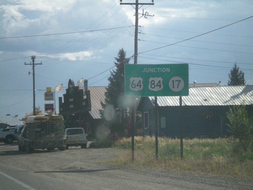
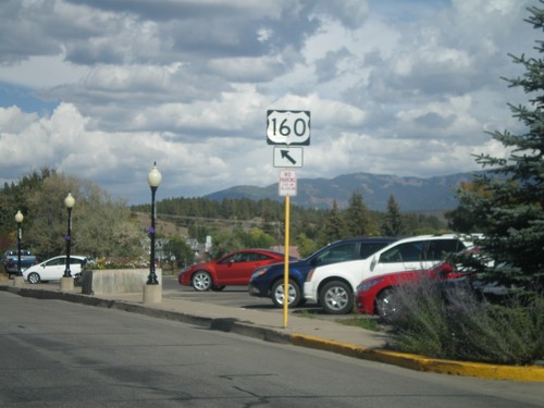
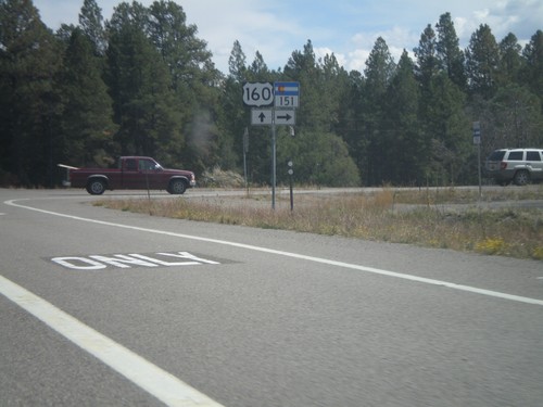
US-160 East at US-84
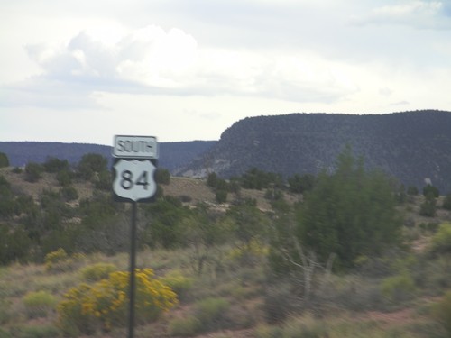
US-160 east at US-84 in Pagosa Springs. Merge right for US-84. This is the western terminus of US-84. The eastern end of US-84 is in Midway, Georgia.
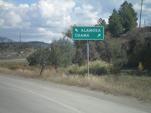
US-160 East at Begin US-84 East
US-160 East at Begin US-84 East in Pagosa Springs. Use US-84 east for Chama (New Mexico); continue east on US-160 for Alamosa.
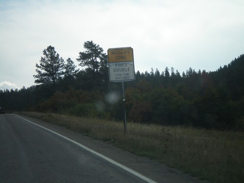
US-160 East - Wildlife Zone
Wildlife Zone on US-160 east in Archueta County. Fines double for any speed violations in the Wildlife Zone between 5PM and 7AM September through May.
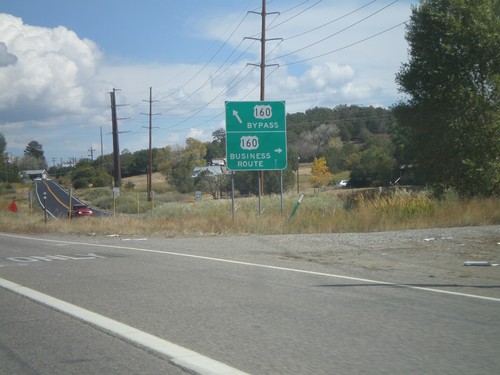
US-160 East at Bayfield Business Loop
US-160 East at Bayfield Business Loop. Turn right for Business US-160 into Bayfield; continue ahead for the Bayfield Bypass.
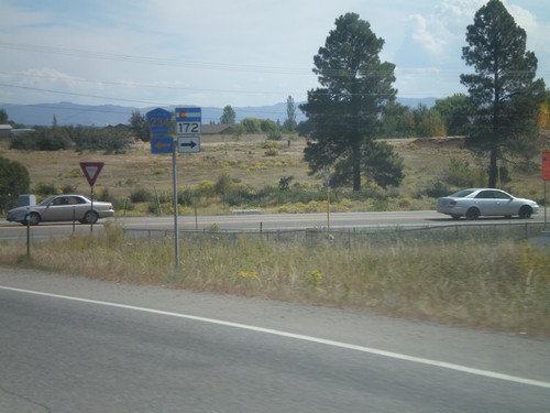
US-160 East at CO-172/CH-234
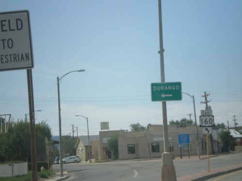
US-160 East at CO-172 South and CH-234 North. Taken just east of Durango.
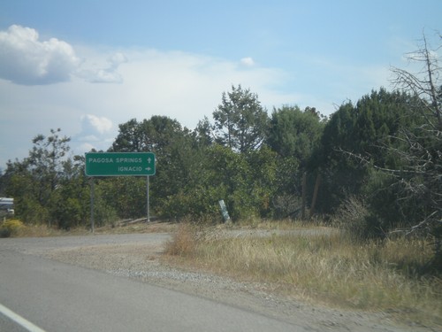
US-160 East Approaching CO-172/CH-234
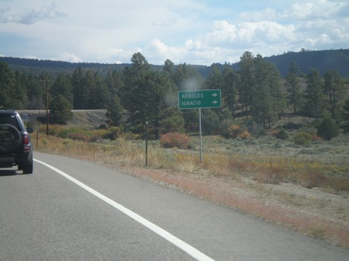
US-160 East approaching CO-172/CH-234. Use CO-172 south for Ignacio; continue east on US-160 for Pagosa Springs.
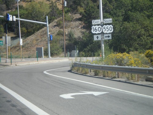
US-160 East/US-550 South at US-550
US-160 East/US-550 South at US-550 in Durango. Turn right to continue south on US-550.
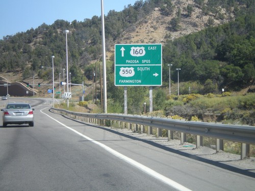
US-160 East/US-550 South at US-550 South
US-160 East/US-550 South at US-550 South. Turn right on US-550 for Farmington (New Mexico). Continue ahead on US-160 for Pagosa Springs.
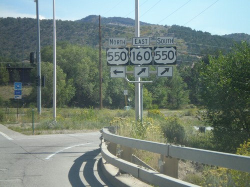
US-160 East at US-550
US-160 East at US-550. Turn left for US-550 north; turn right for US-160 East/US-550 South. US-550 joins US-160 through Durango.
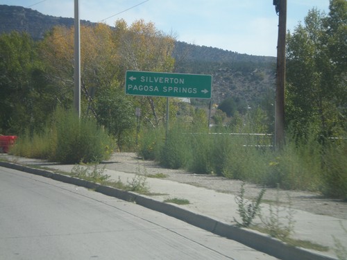
US-160 East at US-550
US-160 East at US-550. Turn right for US-550 North to Silverton; left for US-550 South/US-160 East to Pagosa Springs.
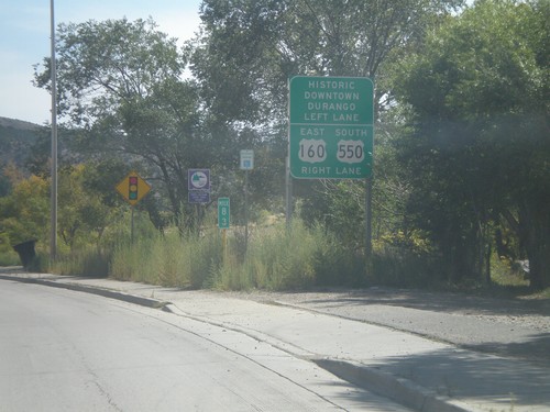
US-160 East Approaching US-550
US-160 East approaching US-550. Turn right for US-160 East/US-550 South; left for Historic Downtown Durango.
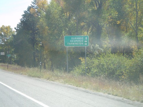
US-160 East at CO-140 South
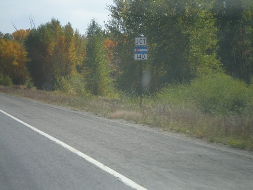
US-160 East at CO-140 South to Hesperus and Farmington (New Mexico). Continue east on US-160 for Durango.
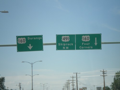
US-491 South at US-160
US-491 south at US-160. Turn left for US-160 east to Durango. Continue ahead for US-160 West/US-491 South. Use US-160 west for Four Corners; use US-491 south for Shiprock, New Mexico. US-160 west joins US-491 southbound to the Four Corners area.
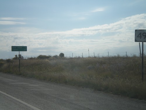
US-491 South - Distance Marker
Distance marker on US-491 south just past the CO-141 junction. Distance to Dove Creek and Cortez.
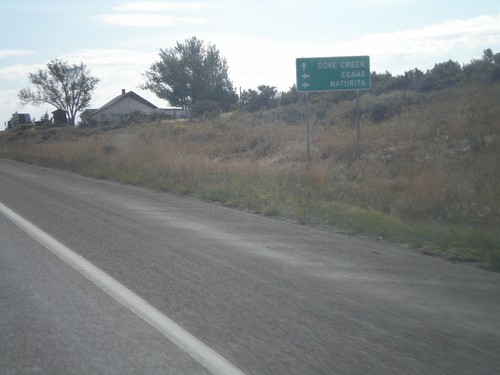
US-491 South Approaching CO-141
US-491 South approaching CO-141 north to Egnar and Naturita. Continue south on US-491 for Dove Creek.
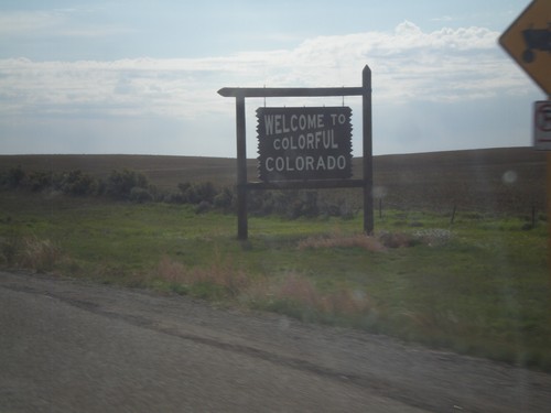
Welcome To Colorado - US-491 South
Welcome To Colorado on US-491 South. Taken at the Utah-Colorado state line.
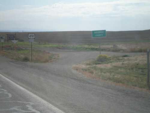
US-491 South - Dolores County
Dolores County on US-491 south. The Colorado welcome sign can be seen in the background. Taken at the Utah-Colorado state line.
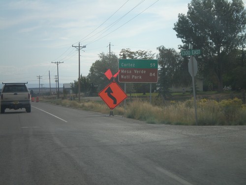
US-491 South - Distance Marker
Distance marker on US-491 south. Distance to Cortez and Mesa Verde National Park (both in Colorado). Taken on the east side of Monticello.
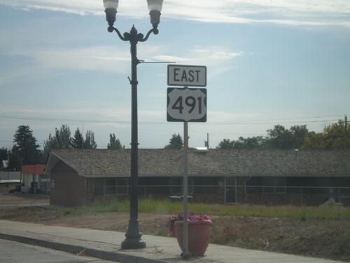
US-491 South - Monticello
US-491 south in Monticello. This is the first US-491 shield on US-491 southbound. US-491 was formerly US-666 until it was renamed in 2003.
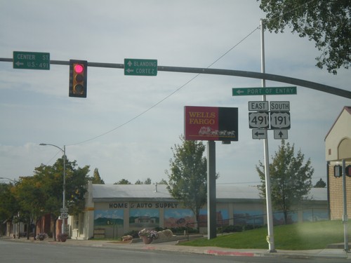
US-191 South at US-491
US-191 South at US-491. Use US-491 east for Cortez (Colorado); continue south on US-191 for Blanding. This is the northern end of US-491. Also US-491 east for the (Utah) Port of Entry.
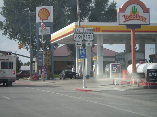
US-191 South Approaching US-491
US-191 south approaching US-491 east. US-491 is a north-south highway, but is signed as an east-west highway in Utah.
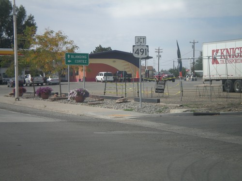
US-191 South Approaching US-491
US-191 south approaching US-491 east. Use US-491 south for Cortez (Colorado); continue south on US-491 for Blanding.
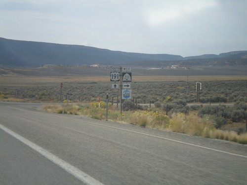
US-191 South at UT-211 West
US-191 South at UT-211 in San Juan County. UT-211 is a Utah Scenic Byway.
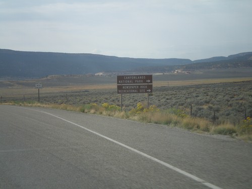
US-191 South Approaching UT-211
US-191 South approaching UT-211 west. Use UT-211 west for Canyonlands National Park (Needles District), and Newspaper Rock Recreational Site.
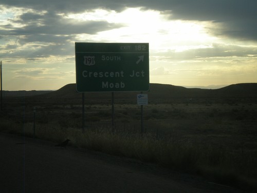
I-70 East - Exit 182
I-70 east at Exit 182 - US-191 South/Crescent Junction/Moab. US-191 south leaves I-70 here.
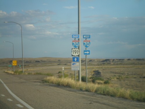
US-6 East/US-191 South at I-70
US-6 East/US-191 South at I-70. Merge right for I-70 west; merge left for US-191 South and US-16 East (not signed here). US-191 joins I-70 east to Crescent Junction. US-6 joins I-70 east to Fruita, Colorado.
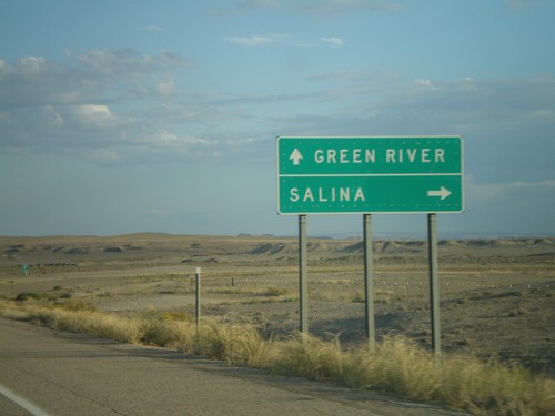
US-6 East/US-191 South at I-70
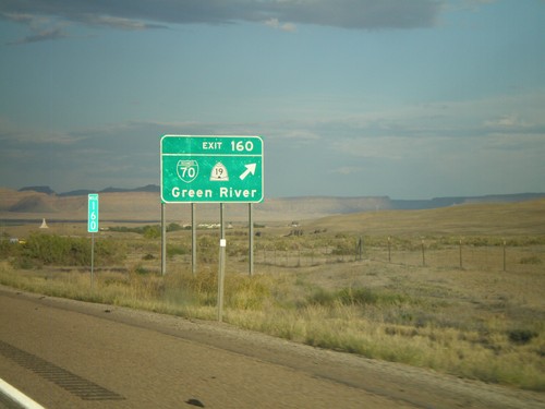
US-6 East/US-191 South at I-70. Use I-70 west for Salina; I-70/US-6 East/US-191 South for Green River.
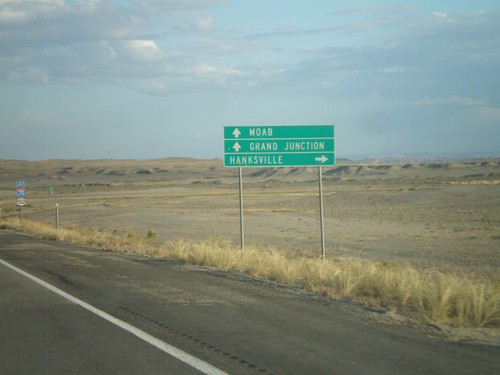
US-6 East/US-191 South Approaching I-70
US-6 East/US-191 South approaching I-70. Use I-70 west for Hanksville; use I-70 East/US-6 East/US-191 South for Moab (via US-191 South) and Grand Junction (Colorado).
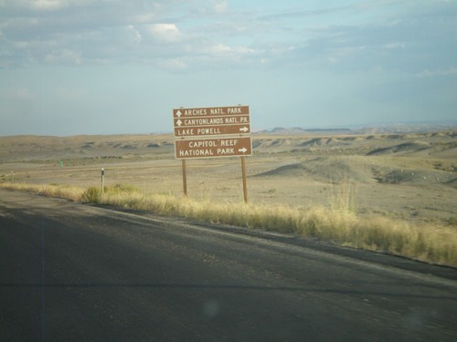
US-6 East/US-191 South Approaching I-70
Federal lands directions on US-6 East/US-191 South approaching I-70. Use I-70 west for Capitol Reef National Park and Lake Powell. Use I-70/US-6 East/US-191 South for Canyonlands National Park and Arches National Park.
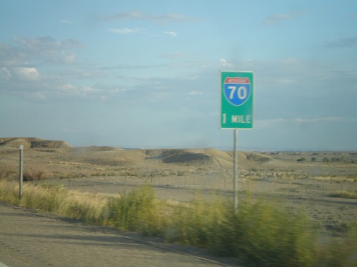
US-6 East/US-191 South Approaching I-70
US-6 East/US-191 South approaching I-70 in Emery County. US-6 East joins I-70 east to Fruita, Colorado; US-191 south joins I-70 east to Crescent Junction.
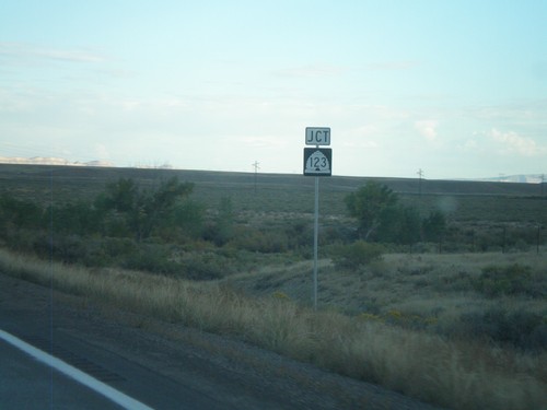
US-6 East/US-191 South Approaching UT-123
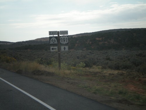
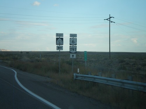
US-6 East/US-191 South approaching UT-123 in Carbon County.
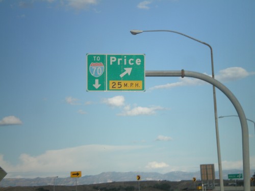
US-6 East/US-191 South at Price Exit
US-6 East/US-191 South at (Exit 243) Price. This is the eastern end of the Price business loop. Continue on US-6 East/US-191 South for I-70 (in Green River).
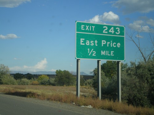
US-6 East/US-191 South - Exit 243
US-6 East/US-191 South approaching Exit 243 - East Price. This is the eastern end of the Price business loop.
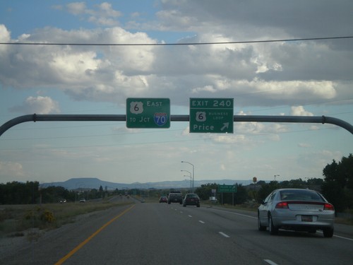
US-6 East/US-191 South - Exit 240
US-6 East/US-191 South at Exit 240 - Business Loop US-6/Price. This is the western end of the Price business loop. US-6 South/US-191 East continues south towards I-70 Junction (in Green River).
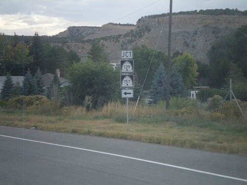
US-6 East/US-191 South at UT-139/UT-157
US-6 East/US-191 South at UT-139/UT-157 junction in Helper. This is the south entrance into Helper from US-6/US-191.
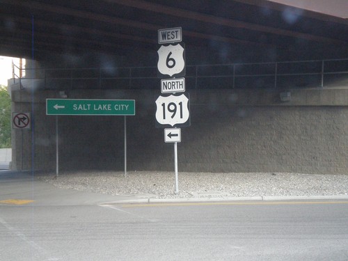
Bus. US-6 East at US-6 West/US-191 North
Bus. US-6 East at US-6 West/US-191 North onramp towards Salt Lake City.
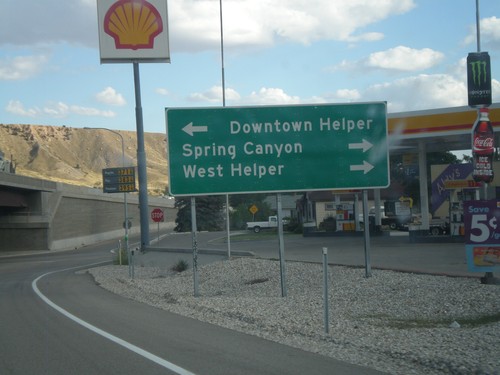
US-6 East/US-191 South - Exit 232 Offramp
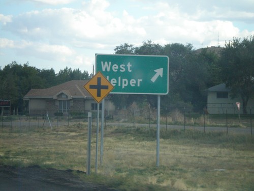
US-6 East/US-191 South on Exit 232 Offramp. Turn left for (Business Loop US-6) Downtown Helper. Turn right for Spring Canyon and West Helper.
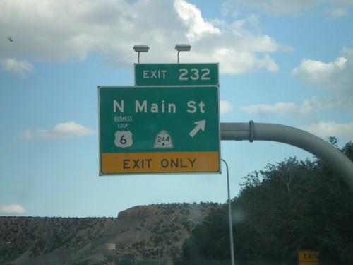
US-6 East/US-191 South - Exit 232
US-6 East/US-191 South at Exit 232 - Business US-6/UT-244/N. Main St. This is the western end of the Helper business loop.
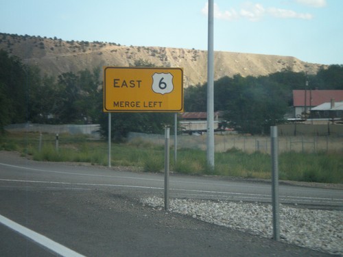
Merge Left For US-6 East
Merge left for US-6 east on US-6 East/US-191 South in Helper. The right lane becomes an exit only lane for Exit 232.
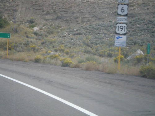
US-6 East/US-191 South near Helper
US-6 East/US-191 South near Helper. The sign beneath the shield designates this stretch of highway as a segment of Dinosaur Diamond Byway - part of America’s Byway System.
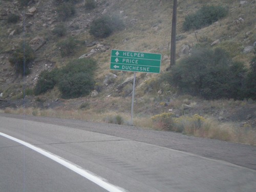
US-6 East at US-191
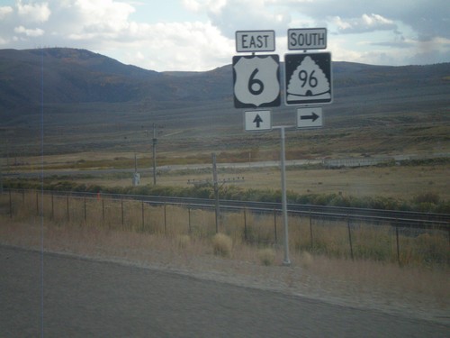
US-6 East at US-191 junction. Turn left for US-191 north to Duchesne. Continue ahead for US-6 East/US-191 South towards Helper and Price. US-191 joins US-6 east to the junction with I-70 near Green River. Thence from there US-191 follows I-70 and US-6 east to Crescent Junction.
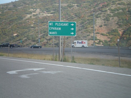
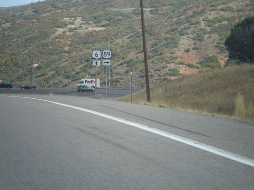
US-6 East/US-89 South at US-89 South
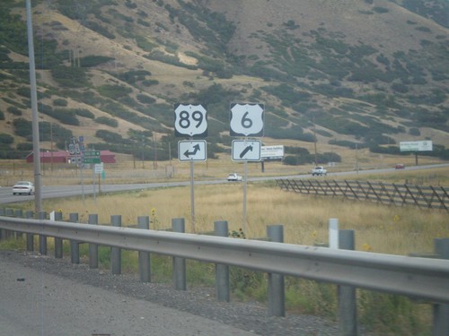
US-6 East/US-89 South at US-89 South split. Turn right for US-89 south to Mt Pleasant, Ephriam, and Manti.
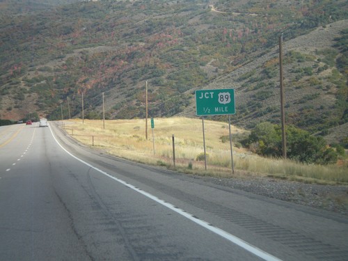
US-6 East/US-89 South Approaching Split
US-6 East/US-89 South Approaching US-6/US-89 split in Utah County.
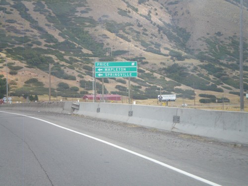
US-6 East Approaching US-89
US-6 East approaching US-89. Use US-89 north for Mapleton and Springville. Continue ahead on US-6 east/US-89 south for Price.
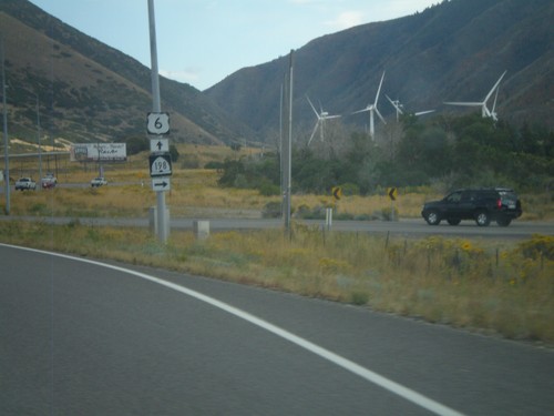
US-6 East at UT-198
US-6 East at UT-198. The windmills in the background are part of the Spanish Fork Wind Project.
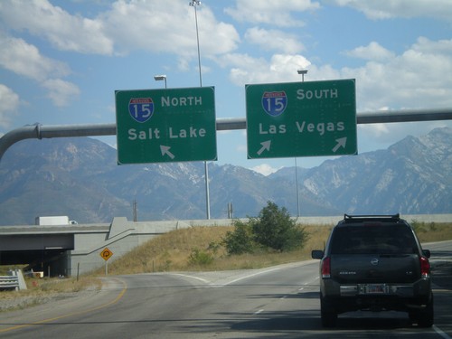
I-215 South at I-15 Split
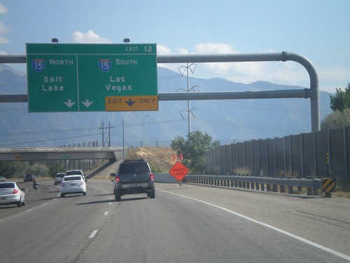
I-215 south at I-15. Use right lane for I-15 South/Las Vegas; left lane for I-15 North/Salt Lake.
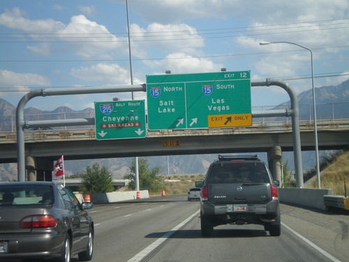
I-215 South - Exit 12
I-215 south at Exit 12 - I-15 North/Salt Lake; I-15 South/Las Vegas. Continue on the I-215 Belt Route for Cheyenne (Wyoming) and Ski Areas.
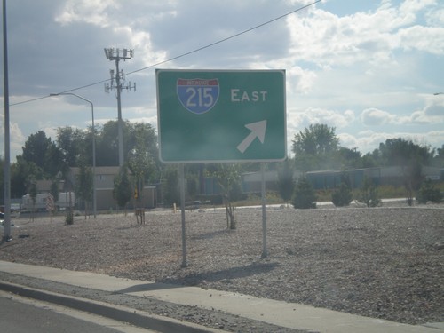
UT-68 South (Redwood Road) at I-215 East
UT-68 South (Redwood Road) at I-215 east onramp in Taylorsville. This is the southern intersection of I-215 with UT-68.
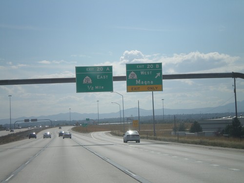
I-215 South - Exits 20B and 20A
I-215 south at Exit 20B - UT-201 West/Magna; approaching Exit 20A - UT-201 East.
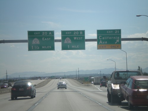
I-215 South - Exits 21, 20B, 20A
I-215 South at Exit 21 - California Ave. Approaching Exit 20B - UT-201 West, and Exit 20A - UT-201 East.
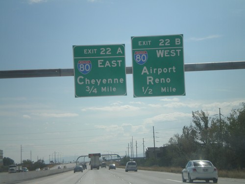
I-215 South - Exits 22B and 22A
I-215 south approaching Exit 22B - I-80 West/Airport/Reno. Approaching Exit 22A - I-80 East/Cheyenne (Wyoming).
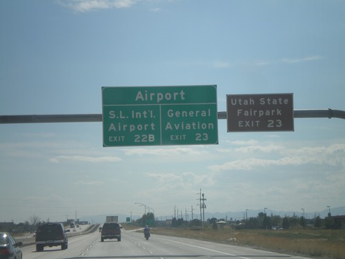
I-215 South - Salt Lake City International Airport Exits
Salt Lake City International Airport exits on I-215 south. For General Aviation, use Exit 23. For Salt Lake City International Airport , use Exit 22B. For the Utah State Fairpark use Exit 23.
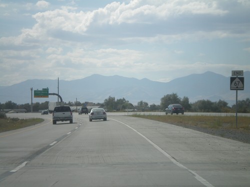
End UT-67 South
End UT-67 south at I-215. There are no ramps for UT-67 south to I-215, just a left merge lane.
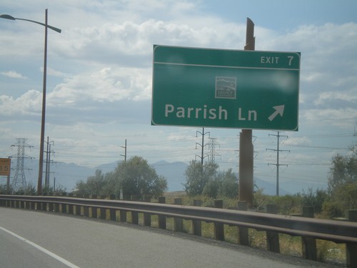
UT-67 South - Exit 7
UT-67 south (Legacy Parkway) at Exit 7 - Parrish Lane. The logo above the Parrish Lane text is for Legacy Parkway.
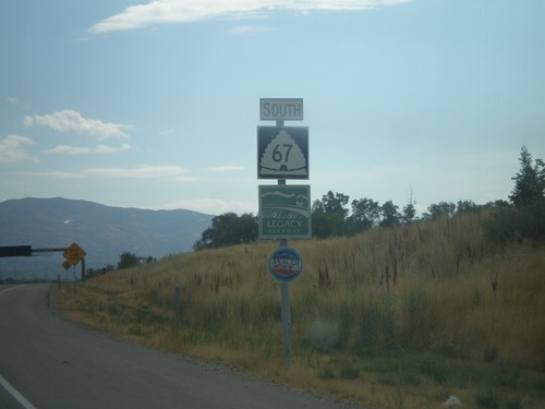
UT-67 South - Legacy Parkway
UT-67 south with Legacy Parkway sign and Utah Scenic Byway Sign. Legacy Parkway parallels I-15 south between Farmington and Salt Lake City. It is designated as a scenic byway, and runs along the edge of the Great Salt Lake. Although the highway is an urban freeway, the speed limit is 55 MPH.
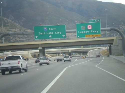
I-15 South - Exit 324
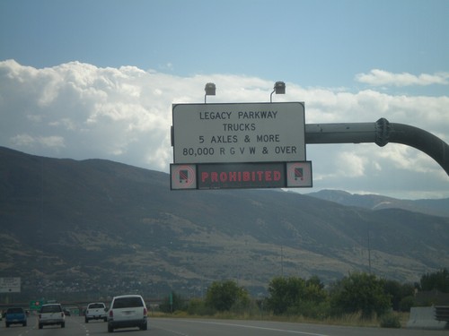
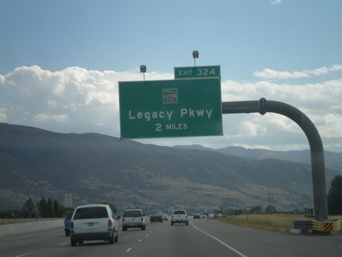
I-15 south at Exit 324 - (UT-67)/Legacy Parkway. Continue south on I-15 for Salt Lake City. The red light on the sign is for no trucks
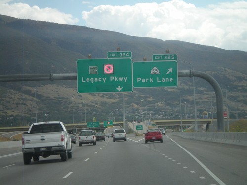
I-15 South - Exits 325 and 324
I-15 south at Exit 325 - UT-225/Park Lane. Approaching Exit 324 - (UT-67)/Legacy Parkway.
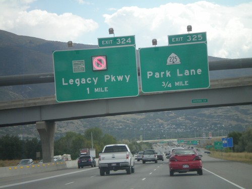
I-15 South - Exits 325 and 324
I-15 south approaching Exit 325 - UT-225/Park Lane. Also approaching Exit 325 - (UT-67)/Legacy Parkway.
