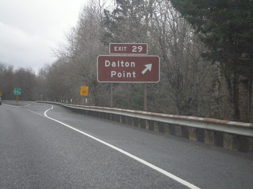
Signs From February 2012
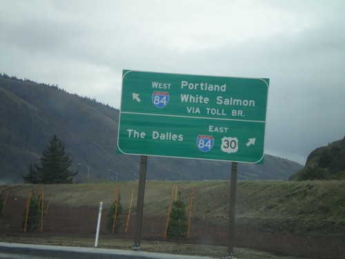
OR-35 South/US-30 East at I-84
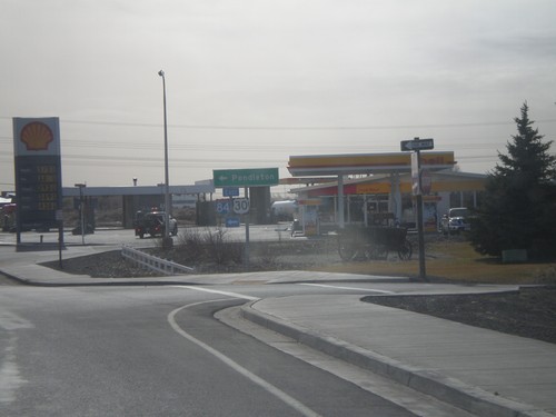
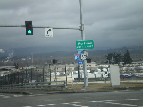
OR-35 South/US-30 East at I-84. Turn right for I-84/US-30 East to The Dalles. Continue ahead for OR-35 to White Salmon (Washington) via Toll Bridge and I-84 west to Portland.
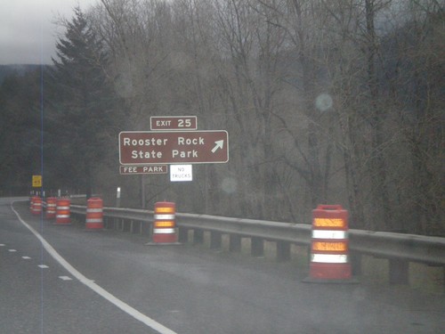
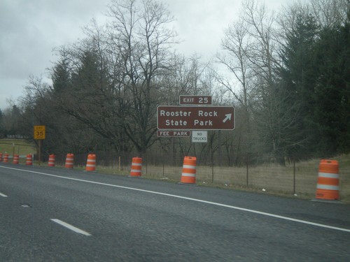
I-84 East - Exit 25
I-84 east at Exit 25 - Rooster Rock State Park. Use Exit 25 for Rooster Rock State Recreation Area.
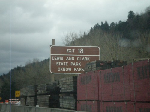
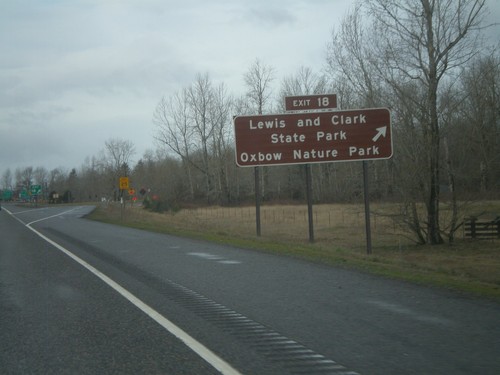
I-84 East - Exit 18
I-84 east at Exit 18 - Lewis and Clark State Park/Oxbow Park. This bridge over the Sandy River on the approach to this interchange is under construction when this photograph was taken.
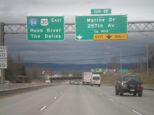
I-84 East Approaching Exit 17
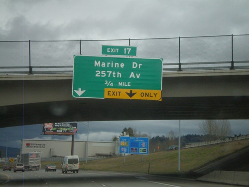
I-84 east approaching Exit 17 - Marine Drive/257th Ave. Continue east on I-84/US-30 for The Dalles and Hood River.
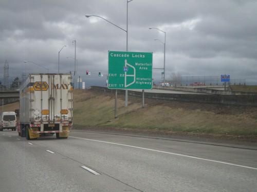
I-84/US-30 East - Historic Columbia River Highway Diagram
Route diagram for the Historic Columbia River Highway on I-84/US-30 East. Use Exit 17 (last Portland Metro. Area exit) on I-84/US-30 East for the Historic Highway. The Historic Columbia River Highway and I-84/US-30 rejoin before Cascade Locks.
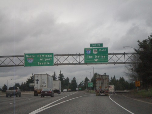
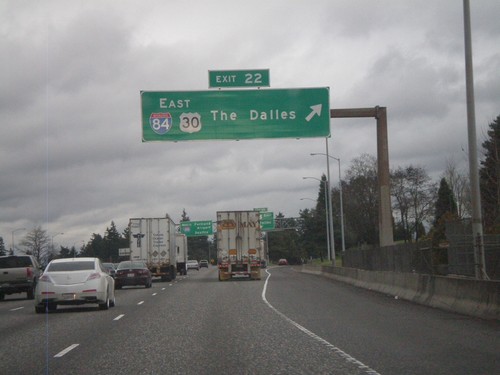
I-205 North - Exit 22
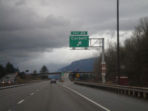
I-205 north at Exit 22 - I-84/US-30 East/The Dalles. I-205 continues north to Portland Airport and Seattle.
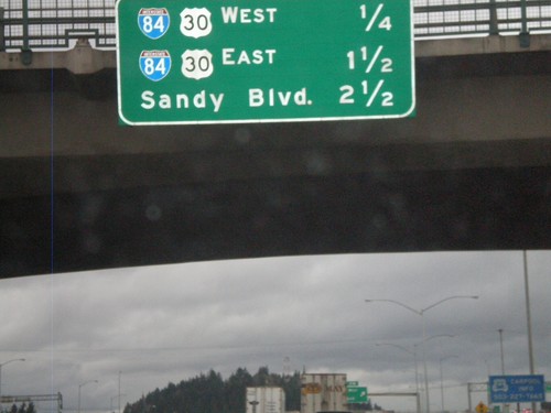
I-205 North - Distance Marker
Distance marker on I-205 north to the next three interchanges on I-205 north. Distance to I-84/US-30 West, I-84/US-30 East, and Sandy Blvd.
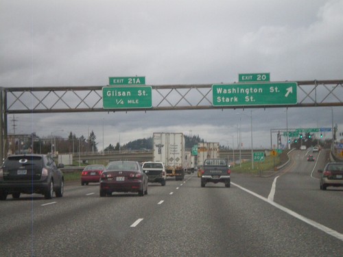
I-205 North - Exits 20 and 21A
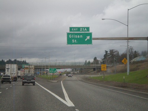
I-205 north approaching Exit 20 - Washington St./Stark St. Approaching Exit 21A - Glisan St.
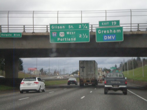
I-205 North - Exit 19 and Next Exits
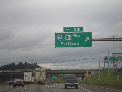
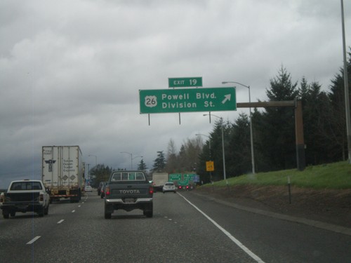
I-205 north approaching Exit 9 - US-26/Powell St./Division St. Use Exit 19 for Gresham and the DMV. Distance marker for two approaching Exits - Glisan St. (Exit 21A) and I-84/US-30 West/Portland (Exit 21B).
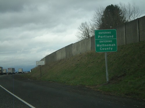
I-205 North - Entering Portland and Multnomah County
Entering Portland on I-205 North. Also entering Multnomah County.
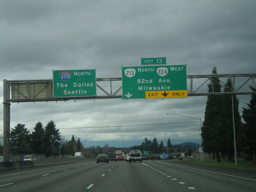
I-205 North - Exit 13
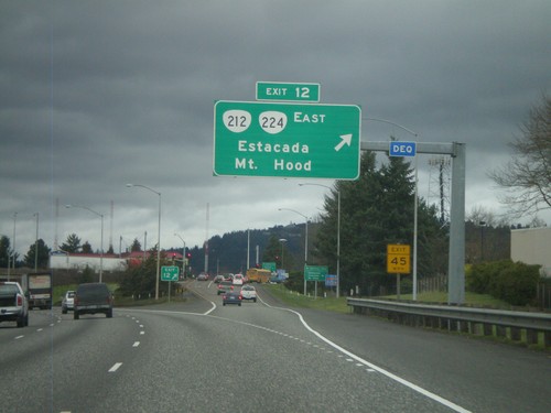
I-205 north at Exit 13 - OR-213/OR-224/82nd Ave/Milwaukee. Continue north on I-205 for The Dalles (via I-84) and Seattle.
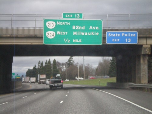
I-205 North Approaching Exit 13
I-205 North approaching Exit 13 - OR-213 North/OR-224 West/82nd Ave./Milwaukie.
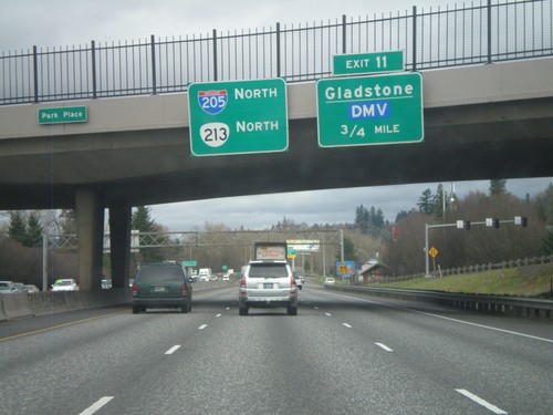
I-205 North Approaching Exit 11
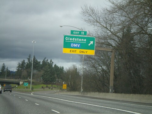
I-205 north approaching Exit 11 - Gladstone/DMV. OR-213 joins I-215 north to Clackamas.
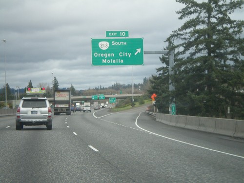
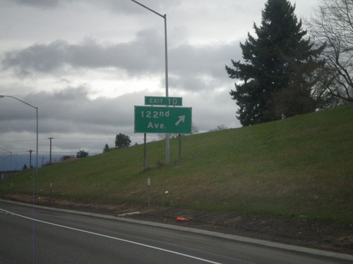
I-205 North - Exit 10
I-205 north at Exit 10 - OR-213 South/Oregon City/Molalla. OR-213 north joins I-205 north to Clackamas.
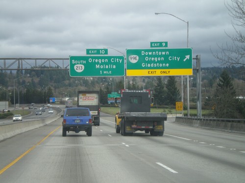
I-205 North - Exits 9 and 10
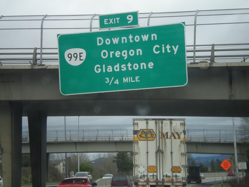
I-205 north at Exit 9 - OR-99E/Downtown Oregon City/Gladstone. Approaching Exit 10 - OR-213 South/Oregon City/Molalla.
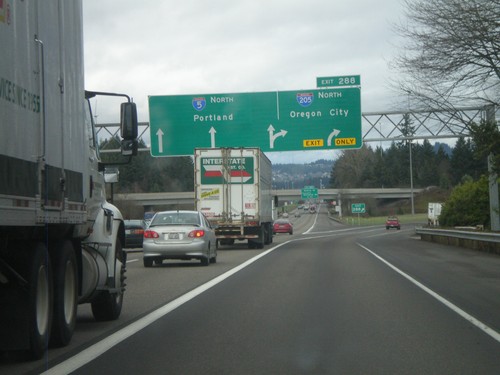
I-5 North - Exit 288
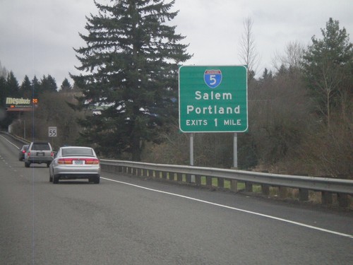
I-5 north at Exit 288 - I-205 North/Oregon City. I-5 continues north to Portland. I-205 is the eastern loop around Portland. Seattle bound traffic, or traffic bound for I-84 east might find I-205 faster than going through downtown Portland.
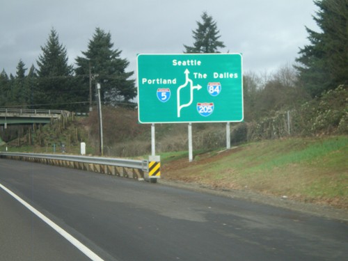
I-5 North - Portland Route Diagram
Portland area route diagram on I-5 north approaching I-205 junction.
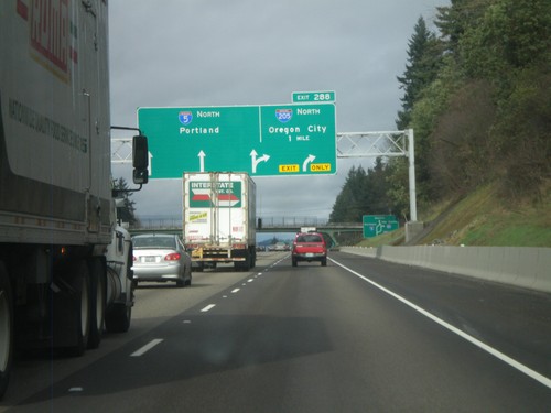
I-5 North Approaching Exit 288
I-5 north approaching Exit 288 - I-205 North/Oregon City. I-5 continues north to Portland. I-205 is the beltway around the east side of the Portland metropolitan area.
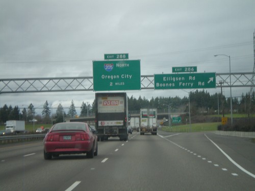
I-5 North - Exits 286 and 288
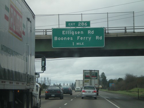
I-5 north at Exit 286 - Elligsen Road/Boones Ferry Road. Approaching Exit 288 - I-205 North/Oregon City.
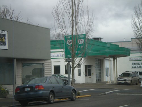
OR-99W North/OR-219 South - Newberg
OR-99W North/OR-219 South in Newberg. Use right lanes to continue north on OR-99W (to Portland) and south on OR-219 (to Salem).
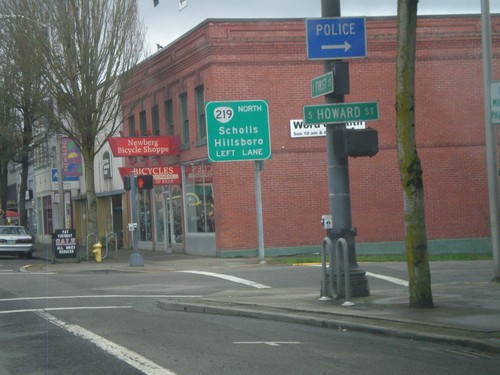
OR-99W North Approaching OR-219
OR-99W North Approaching OR-219 North to Scholls and Hillsboro. OR-219 joins OR-99W through Newberg.
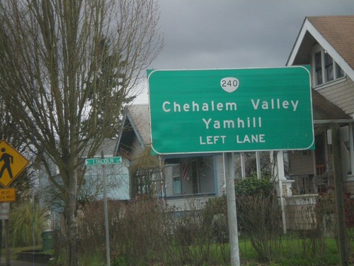
OR-99W North Approaching OR-240
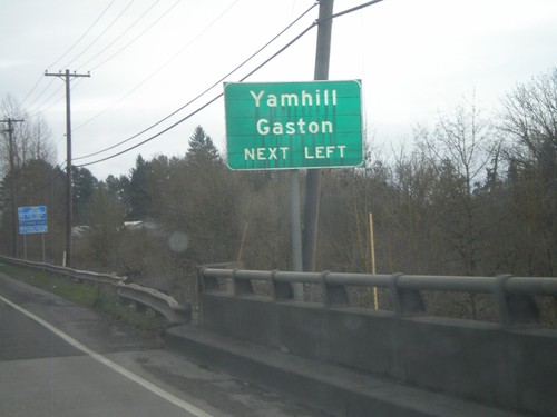
OR-99W north approaching OR-240 north to Chehalem Valley and Yamhill. Use left lanes for OR-240 North.
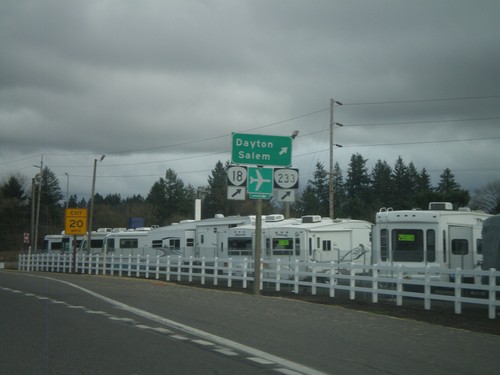
OR-99W North at OR-233 and OR-18
OR-99W North at OR-233 and OR-18 west to Dayton and Salem. OR-18 is the McMinnville Bypass, which runs along the south side of the city of McMinnville. This the eastern end of the bypass.
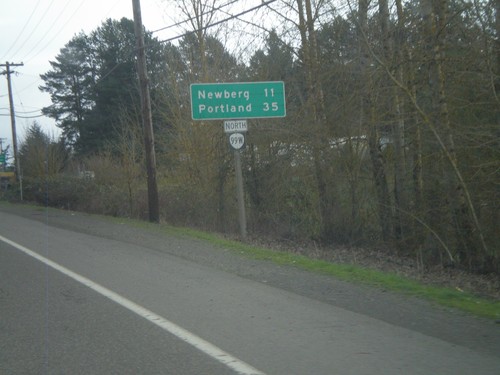
OR-99W North - Distance Marker
Distance marker on OR-99W north to Newberg and Portland. Taken on the east side of Lafayette.
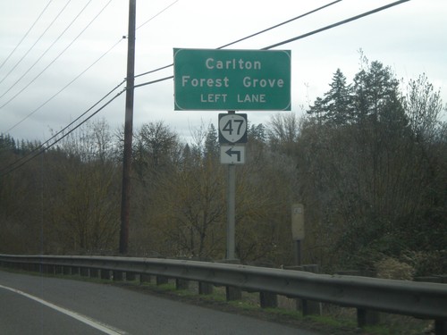
OR-99W North Approaching OR-47
OR-99W North approaching OR-47 North. Use OR-47 north for Carlton and Forest Grove.
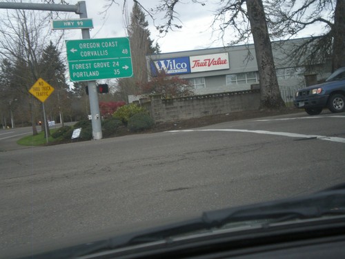
Lafayette Ave. North at OR-99W
Lafayette Ave. North at OR-99W in McMinnville. Turn left on OR-99W North for Forest Grove (via OR-47) and Portland. Turn left on OR-99W (South) for Corvallis and the Oregon Coast (via OR-18). In many places in Oregon the coast is referred to as the Oregon Coast on road signs.
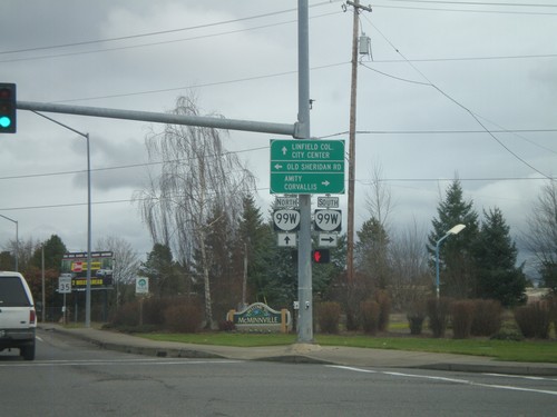
SW Baker St. North at OR-99W
SW Baker St. North at OR-99W. SW Baker St. is the ramp that connects OR-18 eastbound to OR-99W northbound and turns into a surface street. It is signed as OR-99W, but does not actually reach OR-99W until this light at Old Sheridan Road. Turn right for OR-99W South to Amity and Corvallis. Continue ahead for Linfield College and City Center (McMinnville).
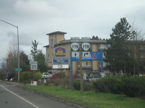
SW Baker St. North Approaching OR-99W
SW Baker St. North approaching OR-99W. SW Baker St. is the ramp from OR-18 East to OR-99W north, and is signed as OR-99W. SW Baker St. actually joins with OR-99W at the next intersection with Old Sheridan Road.
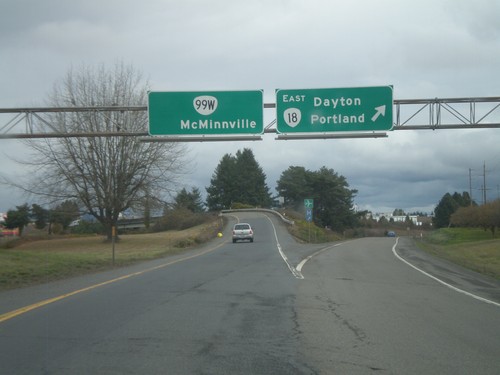
OR-18 East at OR-99W North
OR-18 East at OR-99W North. Merge left for OR-99W/McMinnville. Stay right for OR-18 East/Dayton/Portland. This is the western end of the McMinnville bypass. OR-18 and OR-99W join on the east side of McMinnville.
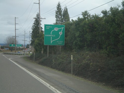
OR-18 East - Route Diagram
OR-18 East route diagram for McMinnville area, approaching OR-99W junction. Use OR-99W as a business loop through McMinnville. Use OR-18 as a bypass around McMinnville.
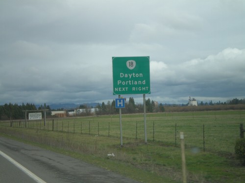
OR-18 East Approaching OR-99W
OR-18 east approaching OR-99W. Merge right for OR-18 East towards Dayton and Portland.
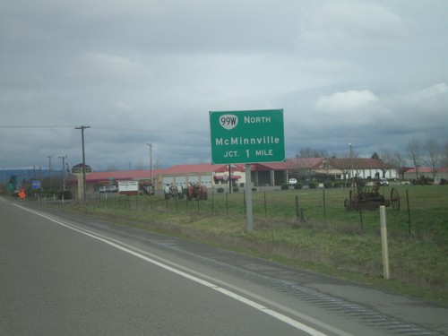
OR-18 East Approaching OR-99W
OR-18 east approaching OR-99W. Use left lane for OR-99W North to McMinnville.
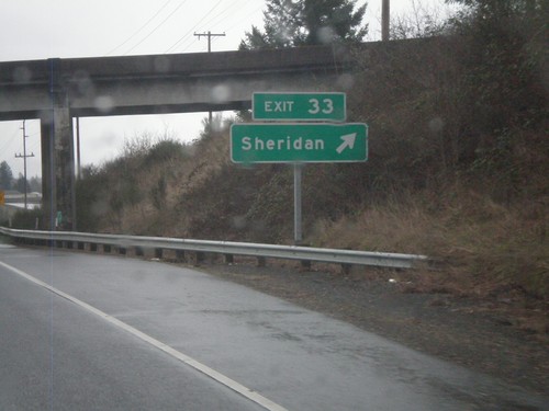
OR-18 East - Exit 33
OR-18 east at Exit 33 - Sheridan. OR-18 becomes a freeway briefly through the town of Sheridan.
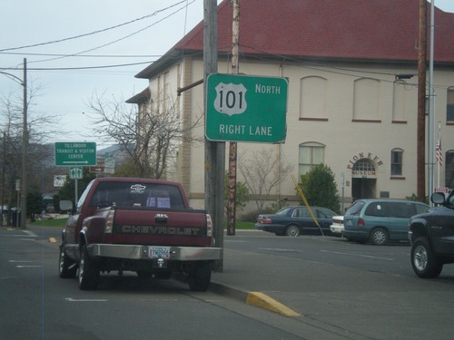
US-101 North - Tillamook
US-101 north in Tillamook. This section of US-101 through Tillamook is a one-way couplet. Stay in right lanes to continue on US-101 north.
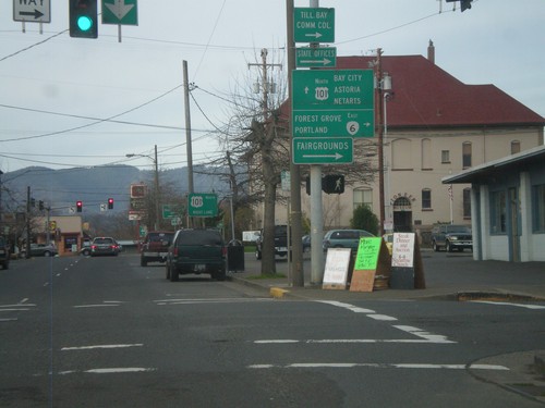
US-101 North at OR-6
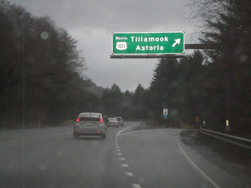
US-101 north at OR-6 east. Turn right on OR-6 to Forest Grove and Portland. Continue north on US-101 to Bay City, Astoria, and Netarts. Also use OR-6 west for the Fairgrounds.
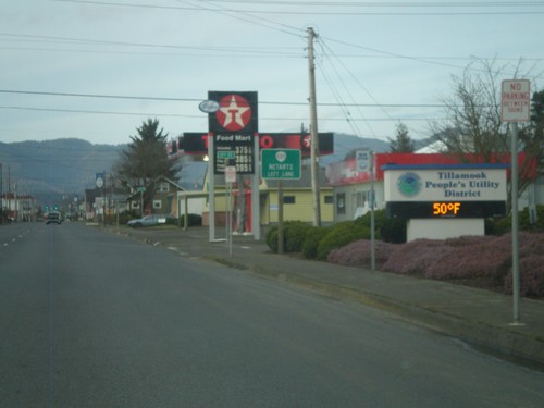
US-101 North Approaching OR-131
US-101 north approaching OR-131 west to Netarts. Use left lane for OR-131.
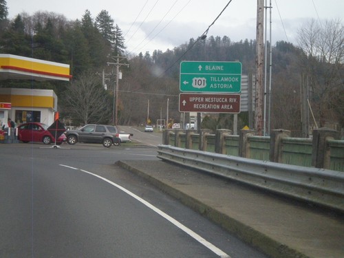
US-101 North at Blaine Road Jct.
US-101 north at Blaine Road jct. Continue ahead for Blaine Road and Upper Nestucca River Recreation Area. Turn left for US-101 north to Tillamook and Astoria.
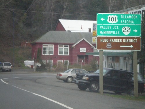
US-101 North Approaching OR-22
US-101 north approaching OR-22. Turn right for OR-22 east to McMinnville and Valley Junction. Turn left for US-101 north to Tillamook and Astoria. Also use OR-22 for the Hebo Ranger District of the Siuslaw National Forest.
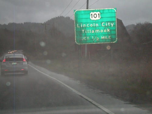
OR-18 West Approaching US-101
OR-18 west approaching US-101. Use US-101 for Lincoln City and Tillamook. This is the western end of OR-18.
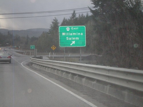
OR-18 West at OR-22
OR-18 west at OR-22 east to Willamina and Salem. OR-22 west joins OR-18 west to Valley Junction.
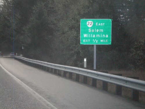
OR-18 West Approaching OR-22
OR-18 west approaching OR-22. Use OR-22 east for Willamina and Salem. OR-22 west joins OR-18 west to Valley Junction.
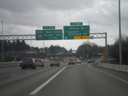
I-5 South - Exits 289 and 286
I-5 south at Exit 289 - Nyberg St./Tualatin-Sherwood Road. Approaching Exit 286 - I-205 North/West Linn/Oregon City.
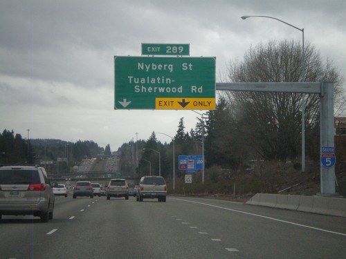
I-5 South Approaching Exit 289
I-5 south approaching Exit 289 - Nyberg St./Tualatin-Sherwood Road. An I-5 south shield is attached to the sign structure.
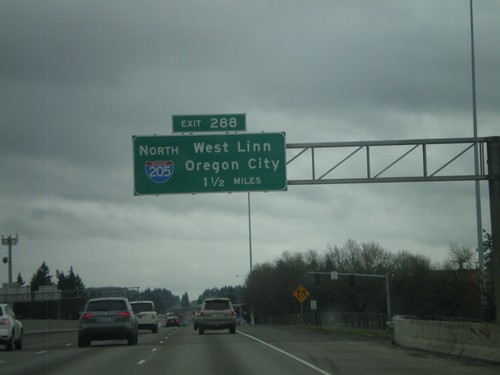
I-5 South Approaching Exit 288
I-5 south approaching Exit 288 - I-205 North/West Linn/Oregon City. I-205 is the beltway around the east side of the Portland metropolitan area. I-205 rejoins I-5 again north of Vancouver, Washington.
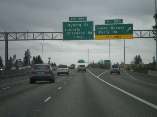
I-5 South - Exits 290 and 289
I-5 south at Exit 290 - Lower Boones Ferry Road. Approaching Exit 289 - Nyberg St./Tualatin-Sherwood Road.
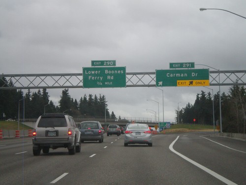
I-5 South - Exits 291 and 290
I-5 south at Exit 291 - Carman Drive. Approaching Exit 290 - Lower Boones Ferry Road.
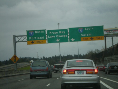
End OR-217 South at I-5
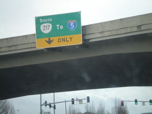
End OR-217 south at I-5. Use right lane for I-5 south to Salem. Use left lane for I-5 north to Portland. Continue ahead for Kruse Way into Lake Oswego. The OR-217 freeway ends here.
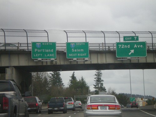
OR-217 South at Exit 7
OR-217 south at Exit 7 - 72nd Ave. Approaching I-5 to Salem and Portland. The OR-217 south freeway ends at I-5.
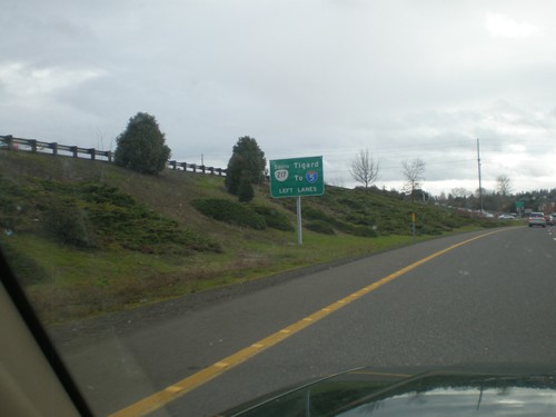
OR-217 Frontage Road in Beaverton Approaching OR-10
OR-217 Frontage Road in Beaverton approaching OR-10. Use left lanes for OR-217 south to I-5 and Tigard.
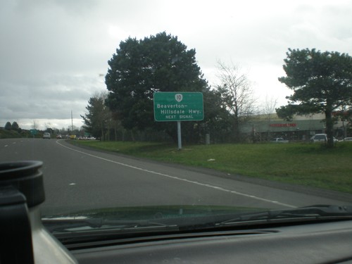
OR-217 South Frontage Road Approaching OR-10
OR-217 South Frontage Road approaching OR-10. Use right lane for OR-10 - Beaverton-Hillsdale Highway. Use left lanes for OR-217 freeway.
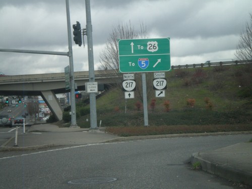
OR-8 East At OR-217 South Onramp
OR-8 East at OR-217 South onramp. Use OR-217 south for I-5; use OR-217 north for US-26.
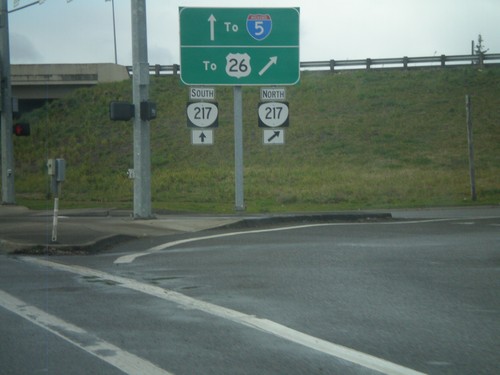
OR-8 West at at OR-217 North
OR-8 west at OR-217 north. Use OR-217 north for US-26; use OR-217 south for I-5.
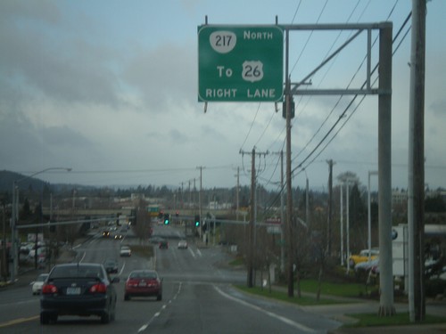
OR-8 West Approaching OR-217
OR-8 west approaching OR-217 north to US-26. Continue through the underpass for OR-217 south.
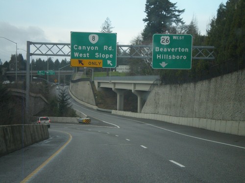
US-26 East Offramp at OR-8
US-26 east offramp at OR-8 split. Use left lane for OR-8 for Canyon Road and West Slope. Use right lane for US-26 West/Beaverton/Hillsboro.
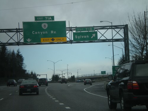
US-26 West - Exits 71B and 71A
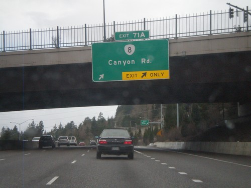
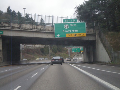
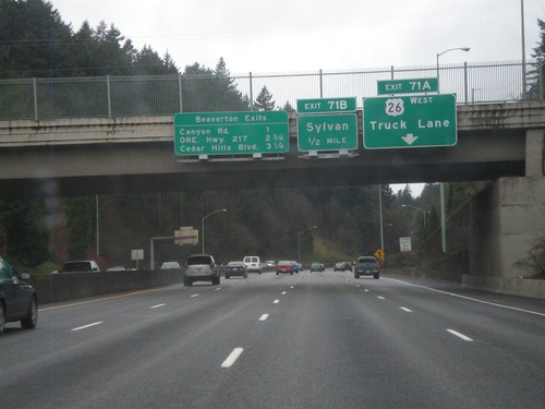
US-26 west at Exit 71B - Sylvan. Approaching Exit 71A - OR-8/Canyon Road.
US-26 West - Beaverton Exits and Exits 71AB
US-26 West approaching Exit 71B - Sylvan. Truck traffic, including Exit 71A bound truck traffic, need to use the right truck lane. Also a sign on the bridge lists the Beaverton Exits - Canyon Road, ORE Hwy. 217, and Cedar Hills Road.
US-26 West - Exit 72
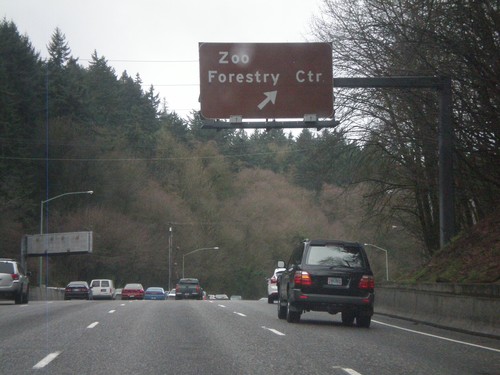
US-26 west at Exit 72 - Zoo/Forestry Center. Access to the Portland Zoo and Washington Park.
Offramp for I-405 North to US-26 at 12th Ave.
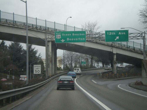
Offramp from I-405 to US-26 west at 12th Ave. interchange. Stay in left lanes for US-26 West/Ocean Beaches/Beaverton. Speed limit is 50 MPH. This speed limit sign is one of the newer style speed limit signs seen on Oregon freeways, with the word LIMIT included.
I-405 North - Exits 1D and 2A
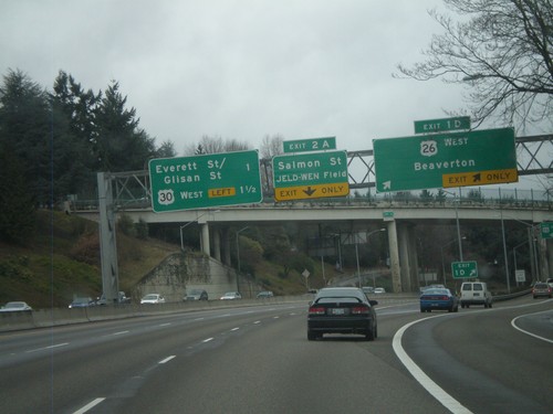
I-405 north at Exit 1D - US-26 West/Beaverton. Approaching Exit 2A - Salmon St./JELD-WEN Field. Also a sign for the next two exits on I-405 North - Everett St./Glisan St. and US-30 West.
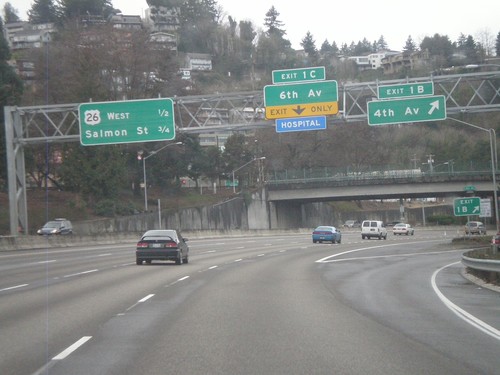
I-405 North - Exits 1B and 1C
I-405 north at Exit 1B - 4th Ave. Approaching Exit 1C - 6th Ave. Next two exits along I-405 north are US-26 West and Salmon St.
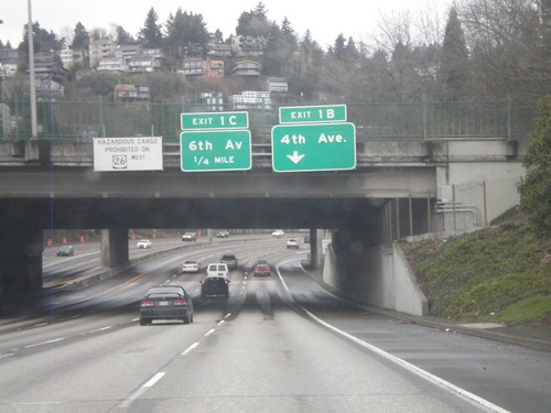
I-405 North - Exits 1B and 1C
I-405 north approaching Exit 1B - 4th Ave and Exit 1C - 6th Ave. Also, there is a warning against hazardous material traffic on US-26 west through the Sunset Tunnel.
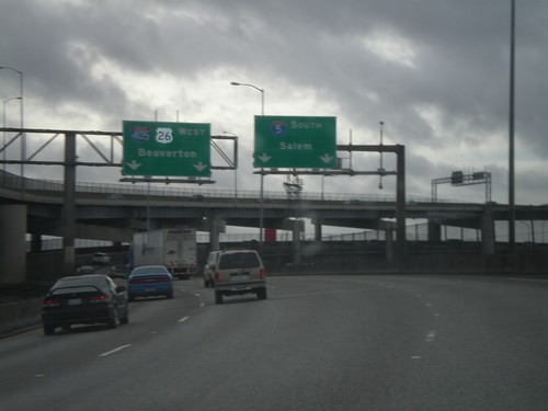
I-5 South at I-405 Split
I-5 south at the I-405 split in Portland. Use left lane for I-405 North/US-26 West/Beaverton. Use right lane for I-5 South/Salem. This exit ramp is on the end of the Marquam Bridge over the Willamette River.
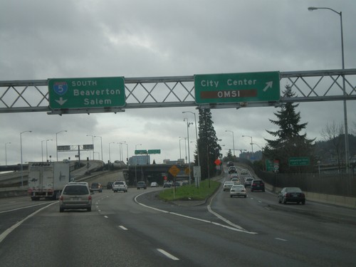
I-84 To I-5 Ramp at City Center IC
Ramp connecting I-84 west to I-5 south at City Center/OMSI exit. Continue south for I-5 south to Beaverton and Salem. OMSI stands for the Oregon Museum of Science and Industry.
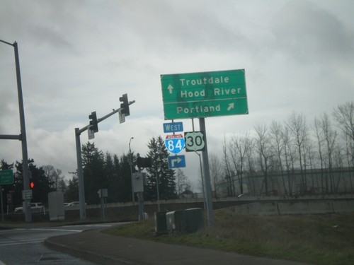
238th Ave. North at I-84
238th Dr. North at I-84/US-30 onramp. Turn right for I-84/US-30 west to Portland. Continue across overpass for I-84/US-30 East to Troutdale and Hood River.
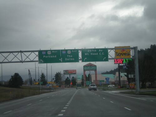
I-84 Frontage Road at 257th Ave. and I-84
I-84 Frontage Road East at 257th Ave. and I-84. Turn right for 257th Ave. and Mount Hood Community College. Continue straight for I-84/US-30 east onramp to The Dalles. Turn left for I-84/US-30 west to Portland.
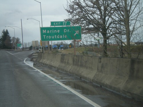
I-84 West - Exit 17
I-84 west at Exit 17 - Marine Drive/Troutdale. This is the first exit westbound in the Portland Metropolitan Area. Directly east of here is the Columbia River Gorge National Scenic Area.
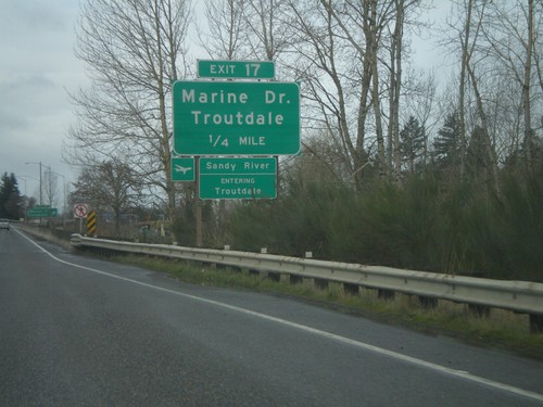
I-84 West - Exit 17
I-84 west approaching Exit 17 - Marine Drive/Troutdale. Entering Troutdale and crossing the Sandy River. The Sandy River is the boundary of the Columbia River Gorge National Scenic Area.
