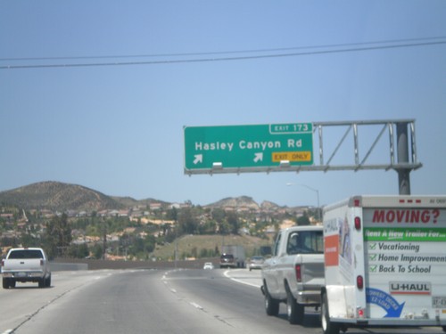
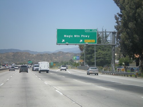
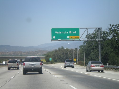
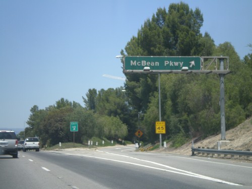
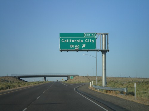
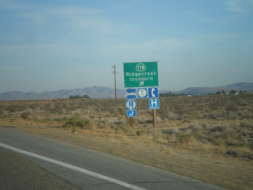
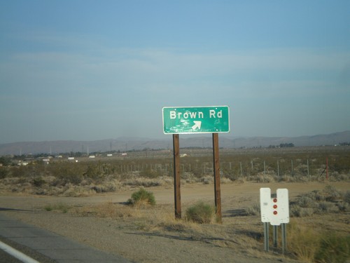
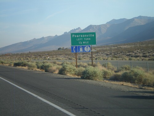
Signs From May 2012
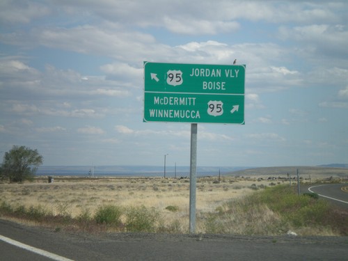
End OR-78 East at US-95
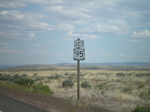
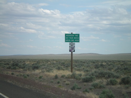
End OR-78 east at US-95. Turn right for US-95 south to McDermitt and Winnemucca (Nevada). Merge left for US-95 north to Jordan Valley and Boise (Idaho).
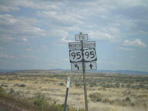
End OR-78 East at US-95
End OR-78 east at US-95. Continue straight for US-95 south; merge left for US-95 north.
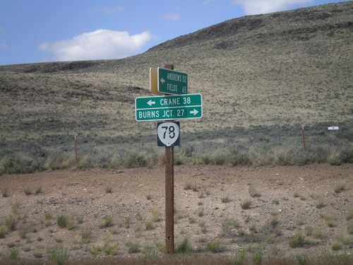
End Eastside Steens Mountain Road at OR-78
End Eastside Steens Mountain Road at OR-78. Turn right on OR-78 for Burns Junction; turn left on OR-78 for Crane. The eastside Steens Mountain road follows the east side of Steens Mountain south to Andrews, Fields, and eventually into Denio, Nevada.
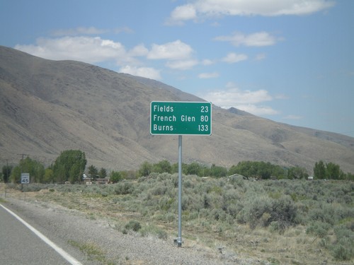
NV-292 North - Distance Marker
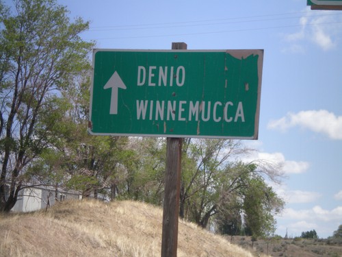
Distance marker entering Denio on NV-292 north. Distance to Fields, French Glen, and Burns. All three destinations are in Oregon. The Oregon-Nevada state line is at the north end of Denio.
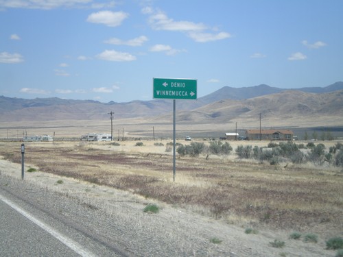
NV-140 East at NV-292 - Denio Junction
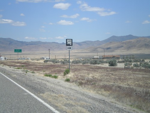
NV-140 east at NV-292 in Denio Junction. Turn left on NV-292 north for Denio. Turn right to continue east on NV-140 for Winnemucca.
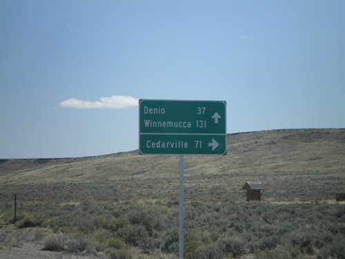
NV-140 East - Sheldon National Wildlife Refuge Jct.
NV-140 east at junction to Sheldon National Wildlife Refuge and Cedarville (California). Continue east on NV-140 for Denio and Winnemucca.
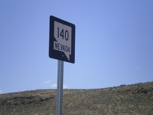
NV-140 East - Humboldt County
NV-140 east in Humboldt County. This is the first shield on NV-140 east in Nevada.
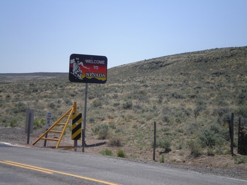
NV-140 East - Welcome To Nevada
Welcome to Nevada on NV-140 east. Taken at the Oregon-Nevada state line.
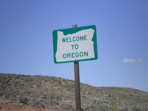
OR-140 West - Welcome To Oregon
Welcome to Oregon on OR-140 west. Taken at the Oregon-Nevada State Line.
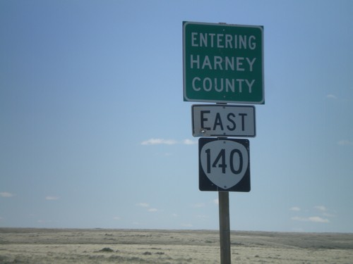
OR-140 East - Entering Harney County
Entering Harney County on OR-140 east. Taken at the Harney-Lake County Line. OR-140 briefly enters Harney County before leaving Oregon.
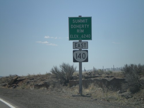
OR-140 East - Summit - Doherty Rim
Doherty Rim Summit, Elevation 6,240 Feet on OR-140 east in rural Lake County.
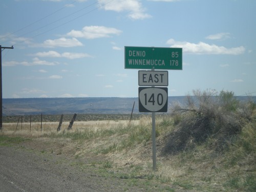
OR-140 East - Distance Marker
Distance marker to Denio and Winnemucca (both in Nevada) along OR-140 east, leaving Adel.
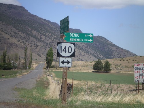
Twentymile Road North at OR-140
Twentymile Road north at OR-140 in Adel. Turn right on OR-140 for Denio and Winnemucca (both in Nevada). Westbound destinations on fingerboard are broken off.
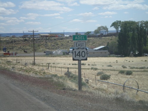
OR-140 East - Entering Adel
Entering Adel on OR-140 east. Adel is a small community in southeastern Lake County, Oregon. The OR-140 shield is incorrectly signed with a US highway type marker.
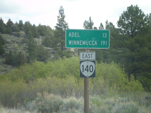
OR-140 East - Distance Marker
Distance marker on OR-140 east. Distance to Adel and Winnemucca (Nevada).
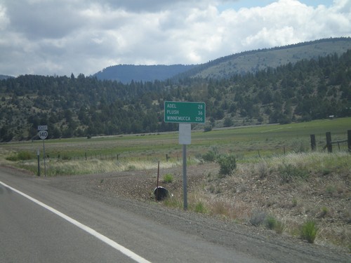
OR-140 East - Distance Marker
Distance marker on OR-140 east. Distance to Adel, Plush, and Winnemucca (Nevada). In the background is an OR-140 shield. This was taken just east of the US-395/OR-140 junction.
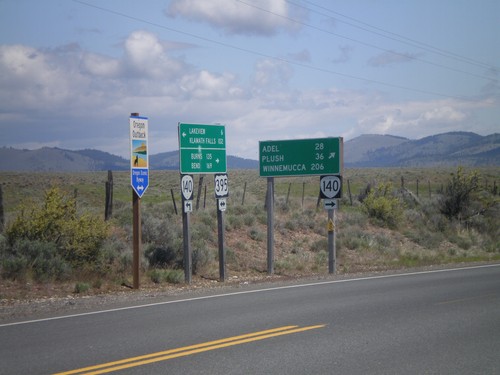
US-395 North/OR-140 East at Split
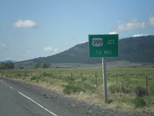
US-395 North/OR-140 East at US-395/OR-140 split. Turn right for OR-140 east to Adel, Plush, and Winnemucca (Nevada). Continue north on US-395 for Burns and Bend. US-395 is part of the Oregon Outback Scenic Byway.
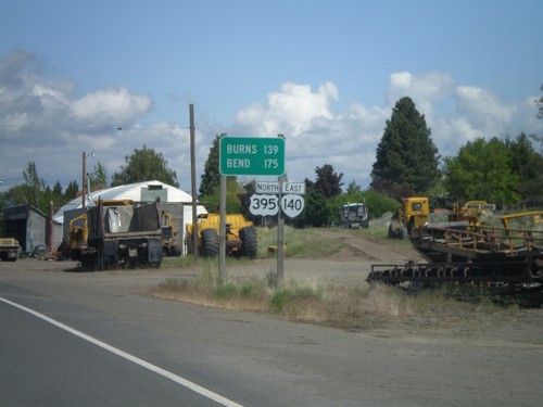
US-395 North/OR-140 East - Distance Marker
Distance marker on US-395 North/OR-140 East. Distance to Burns and Bend.
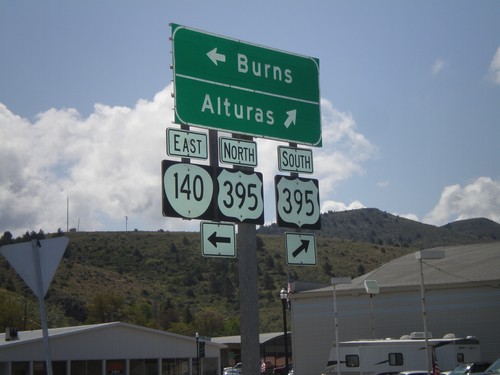
OR-140 East at US-395
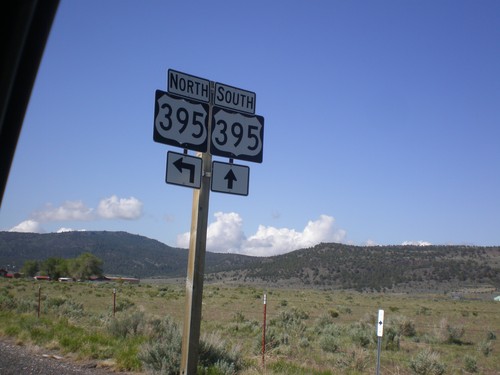
OR-140 east at US-395 junction. Turn right for US-395 south to Alturas (California). Turn left for US-395 North/OR-140 east to Burns. OR-140 east joins US-395 north through Lakeview.
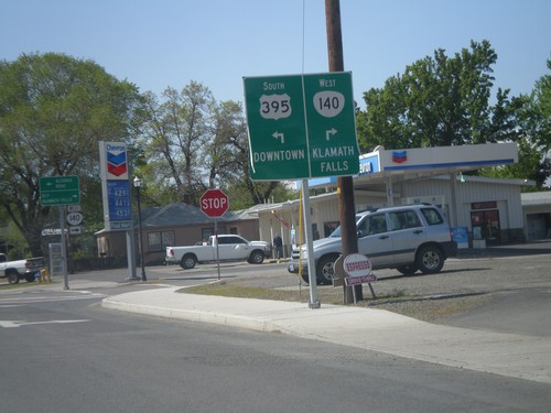
US-395 South/OR-140 West Approaching Split
US-395 South/OR-140 West approaching US-395/OR-140 split. Turn right for OR-140 west to Klamath Falls. Turn left for US-395 to Downtown (Lakeview).
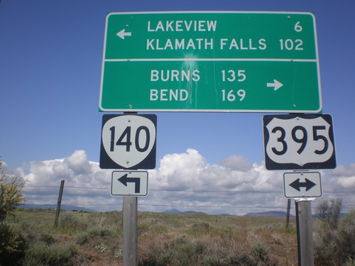
OR-140 West at US-395
OR-140 west at US-395. OR-140 west joins US-395 south into Lakeview. Use US-395 north for Burns and Bend. Use US-395 South/OR-140 West for Lakeview and Klamath Falls.
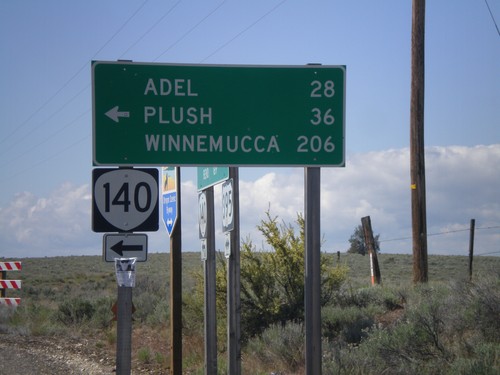
US-395 South OR-140
US-395 South at OR-140. Use OR-140 east for Adel, Plush, and Winnemucca (Nevada). OR-140 west joins US-395 into Lakeview.
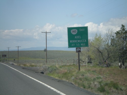
US-395 South Approaching OR-140
US-395 south approaching OR-140 east to Adel and Winnemucca (Nevada).
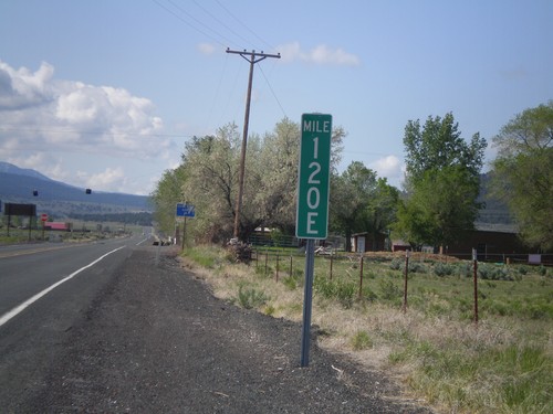
Milemarker at OR-31/US-395 Junction
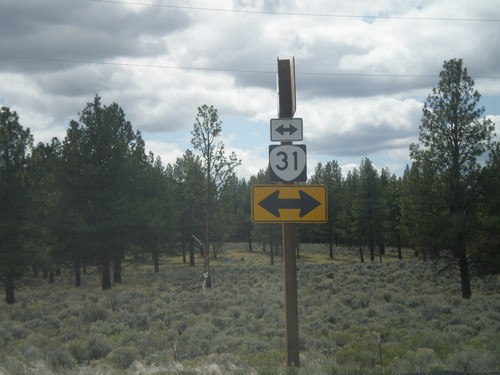
Milemarker 120E at OR-31/US-395 junction. These type of milemarkers with the letter suffix have started to appear around Oregon. The letter indicates the segment of highway that the mileage is for. In Oregon, mile markers are posted according to internal highway, not posted route number (except for intersate highways). In this case the milemarker is for Fremont Highway. A posted highway can be composed of have multiple segments of internal highways. The milemarker in this photo is for the 5th (E is the 5th letter) segment of internal highway along posted route US-395. See here for more discussion: State Highways In Oregon
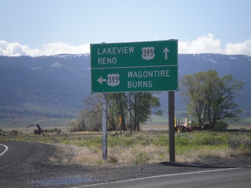
End OR-31 South at US-395
End OR-31 south at US-395. Use US-395 south for Lakeview and Reno (Nevada). Use US-395 north for Wagontire and Burns.
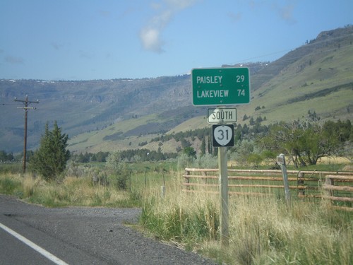
OR-31 South - Distance Marker
Distance marker on OR-31 south, leaving Summer Lake, Oregon. Distance to Paisley and Lakeview.
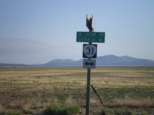
End Silver Lake Marsh Road at OR-31
End Silver Lake Marsh Road at OR-31. Turn right on OR-31 for Silver Lake. Turn left on OR-31 for La Pine.
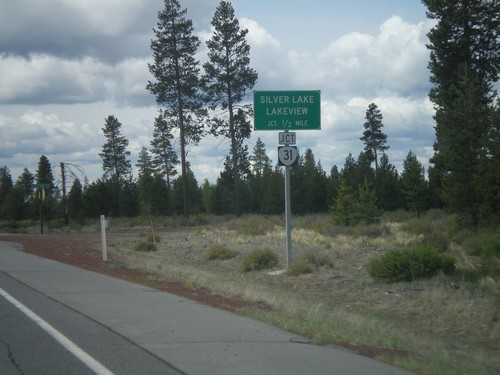
US-97 South Approaching OR-31
US-97 south approaching OR-31. Use OR-31 south for Silver Lake and Lakeview.
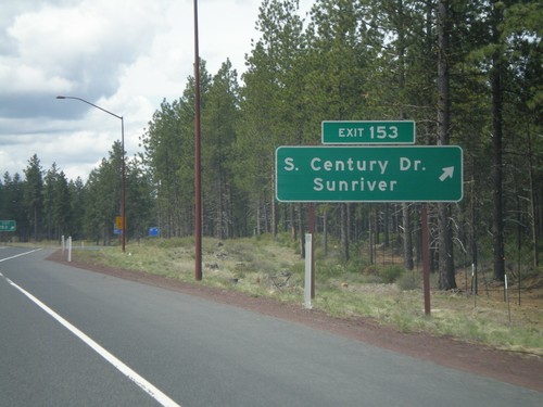
US-97 South - Exit 153
US-97 south at Exit 153 - Century Drive/Sunriver. This is the southern end of the divided highway which begins north of Redmond.
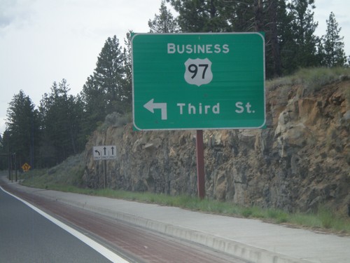
US-97 South at Bus. US-97 Jct.
US-97 South at Bus. US-97/Third St. junction. This is the southern end of the Bend, Oregon business loop, and also the southern end of the Bend Parkway section of US-97.
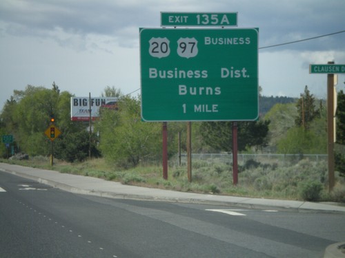
US-97 South Approaching Exit 135A
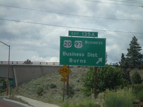
US-97 south approaching Exit 135A - US-20/Business District/Burns/Business US-97.
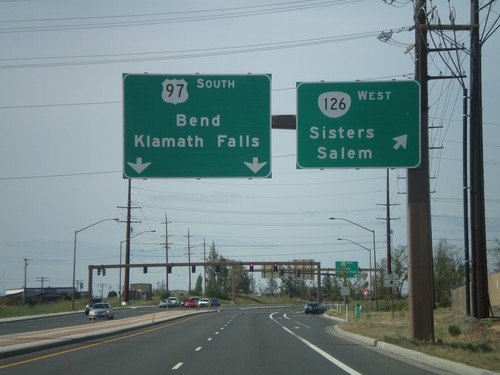
US-97 South at OR-126 West
US-97 south at OR-126 west to Sisters and Salem. US-97 continues south towards Bend and Klamath Falls.
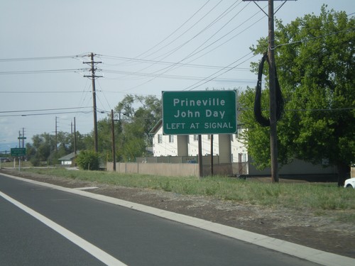
US-97 South Approaching OR-126 East
US-97 South approaching OR-126 East (Evergreen Ave.) Use OR-126 east for Prineville and John Day.
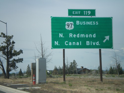
US-97 South - Exit 119
US-97 south at Exit 119 - US-97 Business/N. Redmond/N. Canal Blvd. This is the north end of the Redmond bypass. US-97 formerly followed the route of Business US-97 through downtown Redmond. The new bypass runs to the east of the old highway.
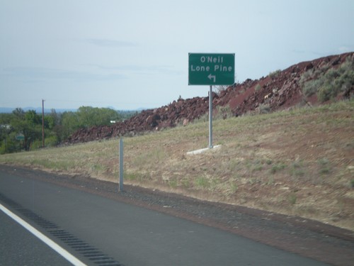
US-97 South at OR-370 (O'Neil Highway)
US-97 south at OR-370 to O’Neill and Lone Pine. OR-370 is not signed as such at this junction, but is part of the O’Neil Highway. This is part of the Oregon State Highway system that did not have a posted route number. In recent years the Oregon Department of Transportation has been assigning numbers to routes that have previously been unsigned.
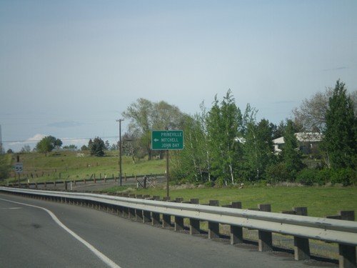
US-97 South/US-26 East at Split
US-97 South/US-26 East at US-97/US-26 split. Turn left for US-26 east to Prineville, Mitchell, and John Day.
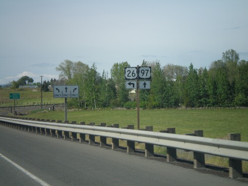
US-97 South/US-26 East at Split
US-97 South/US-26 East at US-97/US-26 Split. Turn left to continue on US-26.
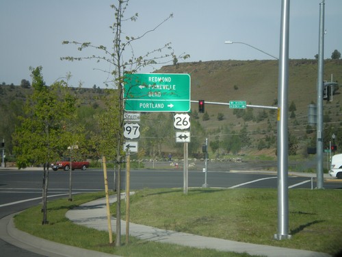
US-97 South at US-26
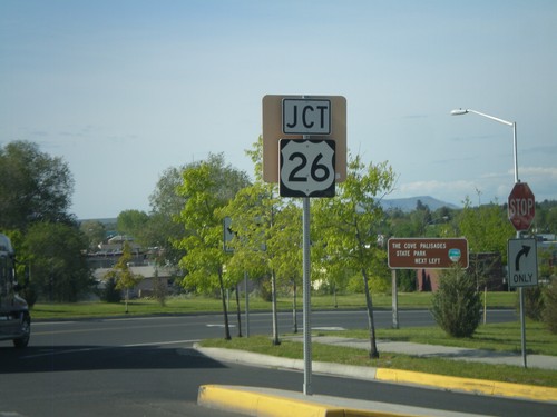
US-97 south at US-26. Turn right for US-26 west to Portland. Turn left for US-26 east and US-97 south to Redmond, Prineville, and Bend. US-26 joins US-97 south through Madras.
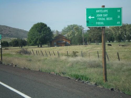
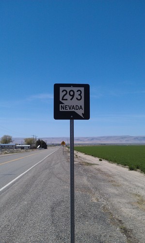
US-97 South at OR-293
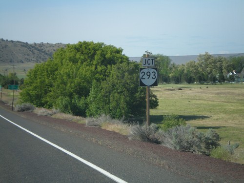
US-97 south at OR-293. Use OR-293 east to Antelope, John Day Fossil Beds, and Fossil.
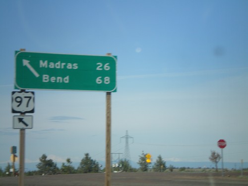
US-97 South at US-197
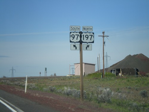
US-97 south at US-197. Use US-97 south for Madras and Bend. The northbound destination sign for US-197 was knocked over and lying on the ground.
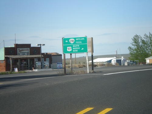
US-97 South at OR-218
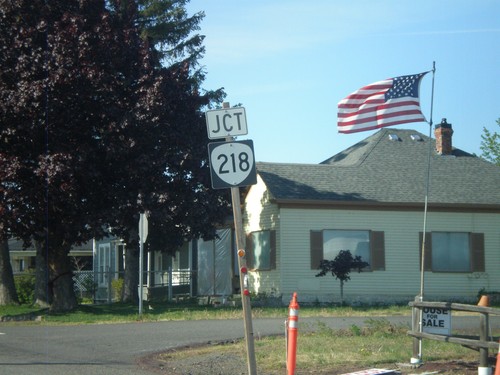
US-97 south at OR-218 to Antelope and Fossil. Continue south on US-97 for Maupin, Madras, and Bend.
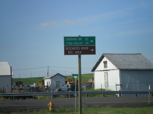
US-97 South at OR-216
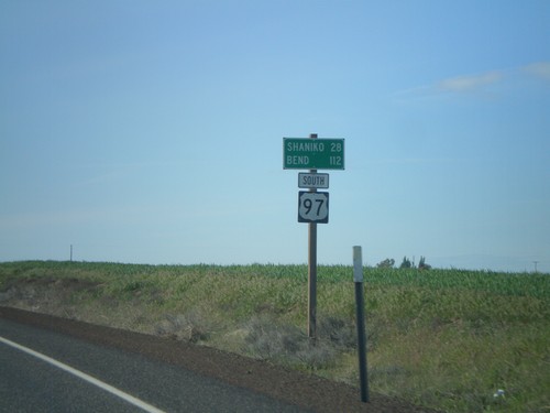
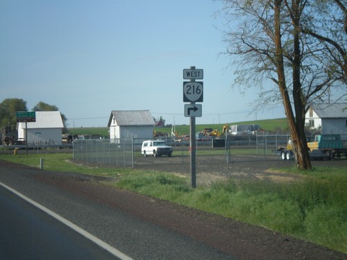
US-97 south at OR-216. Use OR-216 west for Sherars Bridge, Tygh Valley, and Deschutes River Recreation Area.
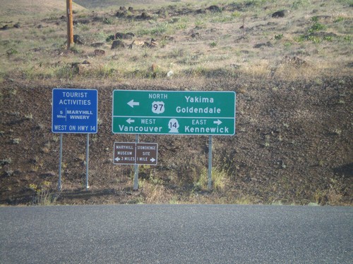
US-97 North at WA-14
US-97 north at WA-14 north. US-97 north joins WA-14 west for about two miles. Turn right on WA-14 east for Kennewick. Turn left on WA-14 west for Vancouver. Also turn left for US-97 north to Yakima and Goldendale.
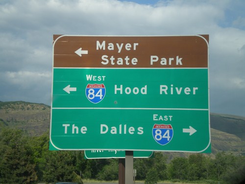
Rowena Access Road at I-84
Rowena Access Road at I-84 (Exit 76) onramp. Turn right for I-84 east to The Dalles. Turn left for I-84 west to Hood River, and to continue under freeway towards Mayer State Park.
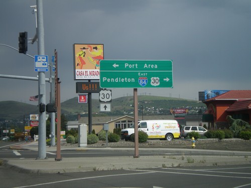
W 2nd St. at US-30 and I-84
W 2nd St. in The Dalles at US-30 and I-84 east junction. Turn right for I-84 east, to Pendleton, and US-30 west. Continue ahead on 2nd St. for US-30 east. Turn left for the Port Area along the Columbia River.
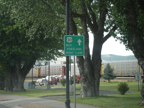
US-30 West - Downtown The Dalles
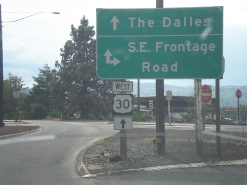
E 2nd St. west in downtown The Dalles. Use right lanes to continue west on US-30 toward Portland.
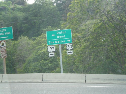
US-197 South/US-30 West at Split
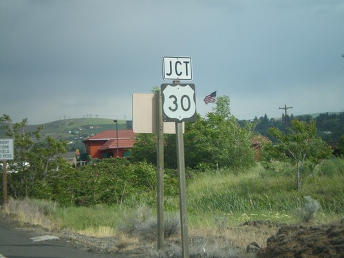
US-197 South/US-30 West at US-197/US-30 split. Turn right for US-30 west to The Dalles. Turn left for US-197 south to Dufur and Bend.
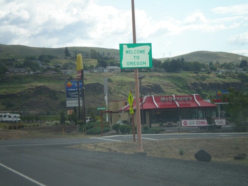
US-197 South - Welcome To Oregon
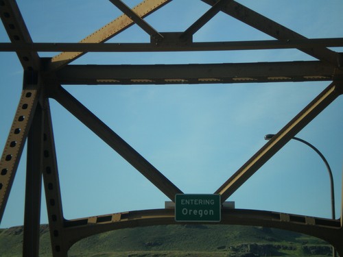
Welcome to Oregon on US-197 south in The Dalles. The Oregon welcome sign is about half a mile from the actual state line on the bridge over the Columbia River.
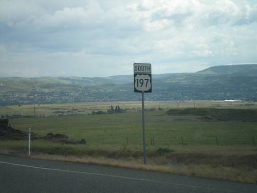
US-197 South
US-197 south. This is the first shield southbound on US-197. US-197 runs between WA-14 on the Washington side of the Columbia River, south to Shaniko Junction, Oregon at US-97. The highway is about 70 miles in length.
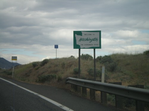
US-97 North - Welcome To Washington
Welcome to Washington on US-97 north. The welcome sign is about a mile north of the actual state line at the Columbia River.
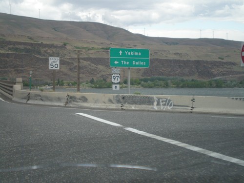
US-97 North at I-84/US-30 West
US-97 north at I-84/US-30 West (Exit 104). Turn left for I-84/US-30 west to The Dalles. Continue north on US-97 towards Yakima (Washington). US-97 crosses over the Columbia River into Washington immediately north of this junction. The Columbia River and the hills of Washington state are in the background of this photograph.
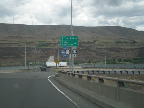
US-97 North at I-84/US-30 (Exit 104)
US-97 north at I-84/US-30 (Exit 104) junction. Turn right on I-84/US-30 east for Rufus and Pendleton. Continue over freeway for I-84/US-30 west to The Dalles. The Columbia River, and bridge over the Columbia River into Washington is in the background of the photograph.
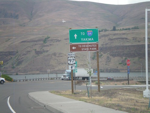
US-97 North at I-84 Frontage Road
I-84 north at I-84 Frontage Road, and approaching I-84/US-30 junction. Turn left on the Frontage Road for Deschutes State Park. Continue north on US-97 for I-84 junction, and Yakima (Washington). The Columbia River and Washington state are in the background of the photograph.
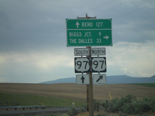
OR-206 West at US-97
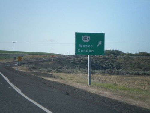
OR-206 west at US-97 onramp. Turn right for US-97 north to Biggs Junction and The Dalles. Continue over the highway for US-97 southbound ramp to Bend.
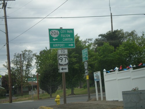
OR-206 West In Wasco
OR-206 west on Clark St. at Armsworthy St. in Wasco. Turn left on Armsworthy St. to continue on OR-206 for Fulton Canyon, (Wasco) City Park and US-97. Turn right for the Wasco Airport.
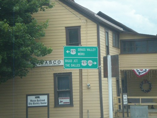
OR-206 West at Clark St. - Wasco
OR-206 west at Clark St. in Wasco. Turn left on Clark St. south to US-97 South towards Moro and Grass Valley. Turn right on Clark St. for US-97 north, OR-206 west to Biggs Jct. and The Dalles.
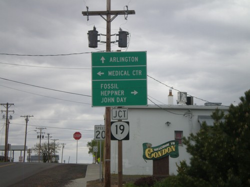
OR-206 East at OR-19
OR-206 east at OR-19 in Condon. Continue ahead for OR-19 north to Arlington. Turn right for OR-206 East/OR-19 South for Fossil, Heppner, and John Day. Turn left on Main St. for the Medical Center.
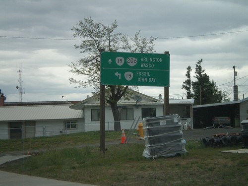
OR-206 West at OR-19
OR-206 west at OR-19 in Condon. OR-206 joins OR-19 through Condon. Turn left for OR-19 south to Fossil and John Day. Turn right for OR-19 north/OR-206 west to Arlington and Wasco.
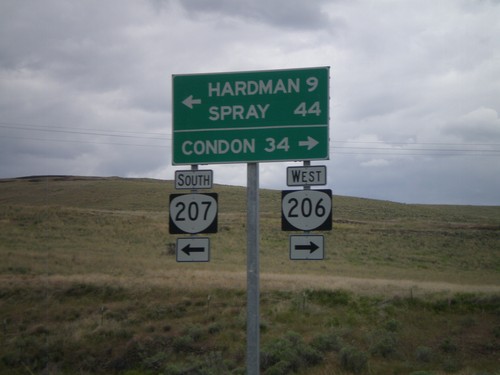
OR-206 West/OR-207 West at Split
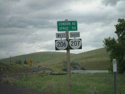
OR-206 West/OR-207 West at OR-206/OR-207 split. Turn right for OR-206 west to Condon. Turn left for OR-207 west to Hardman and Spray.
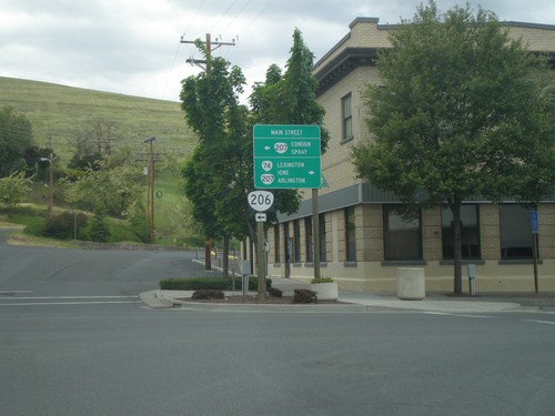
OR-74 North at OR-206/OR-207
OR-74 north at OR-206 and OR-207 in Heppner. Turn right to continue north on OR-74 North and OR-207 North to Lexington, Ione, and Arlington. Turn left on Main St. for OR-207 south and OR-206 west to Condon and Spray.
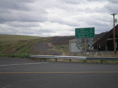
US-395 South at OR-74
US-395 south at OR-74. Turn right for OR-74 west to Heppner and Condon. Merge left for US-395 south to Ukiah and John Day.
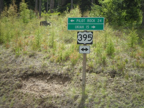
US-395 Jct. at Battle Mountain State Park
US-395 junction at Battle Mountain State Park entrance road. Turn right for US-395 south to Ukiah; left for US-395 north to Pilot Rock.
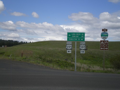
End OR-244 West at US-395
End OR-244 west at US-395. Turn right for US-395 north to Pendleton. Turn left for US-395 south to Long Creek and John Day.
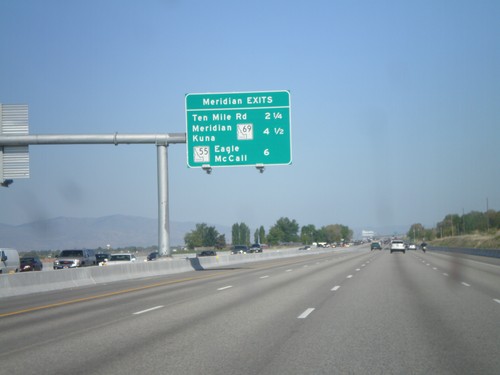
I-84 East - Meridian Exits
Meridian exits on I-84 east. Approaching Ten Mile Road, ID-69, and ID-55 junction.
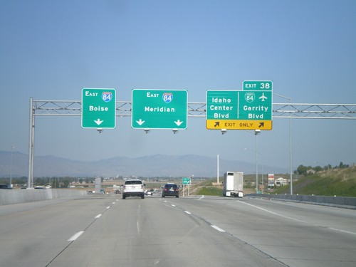
I-84 East - Exit 38
I-84 east at Exit 38 - BL-84/Garrity Blvd/Idaho Center Blvd. Use I-84 east for Meridian and Boies. This is the eastern end of the Nampa/Caldwell business loop. This interchange was recently rebuilt as part of the widening of I-84 between Nampa and Boise.
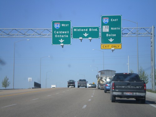
ID-55 South at I-84/US-30
ID-55 south at I-84/US-30 junction (Exit 33). Turn right for I-84/US-30 East/ID-55 south to Boise. Turn left for I-84/US-30 west to Caldwell and Ontario (Oregon). Continue ahead for Midland Blvd. ID-55 joins I-84 east to Meridian.
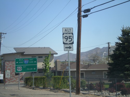
US-95 Alt. North at US-50 Alt./BL-80
US-95 ALT at US-50 ALT to Fallon and BL-80 to Reno and Elko. Turn right to continue on US-95 Alt.
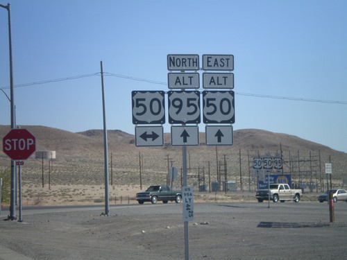
Alt. US-95 North at US-50/Alt. US-50
Alt. US-95 North at US-50/Alt. US-50 in Silver Springs. This is the western end of Alt. US-50. Alt. US-50 follows Alt. US-95 north to Fernley, thence east to outside of Fallon rejoining with US-50.
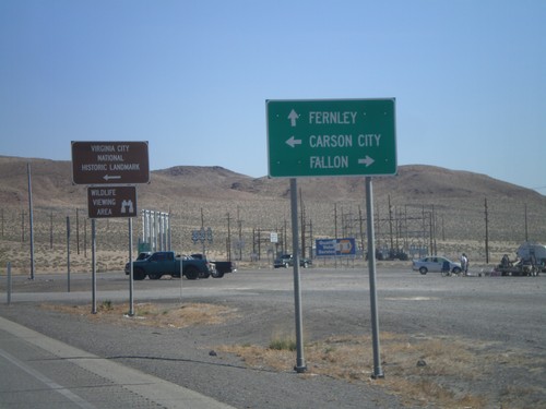
Alt. US-95 North Approaching US-50/Alt. US-50
Alt. US-95 North Approaching US-50/Alt. US-50. Turn left on US-50 west for Carson City and Virginia City National Historic Landmark; right on US-50 east for Fallon. Continue ahead on Alt. US-50 East/Alt. US-95 North for Fallon.
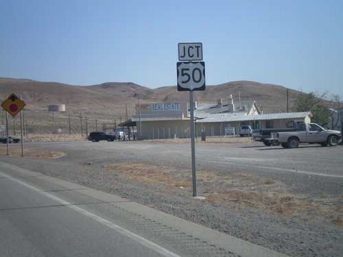
Alt. US-95 North Approaching US-50
Alt. US-95 North approaching US-50 and Alt. US-50 in Silver Springs.
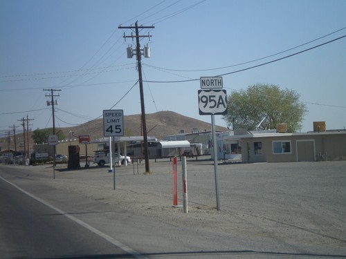
Alt. US-95 North - Yerrington
Alt. US-95 North, leaving Yerrington. This is the only instance that I have seen on any of the Nevada alternate US highways, where an "A" was used as the alternate designation. The normal alternate designation is with a separate sign on top of the shield with the word "ALT".
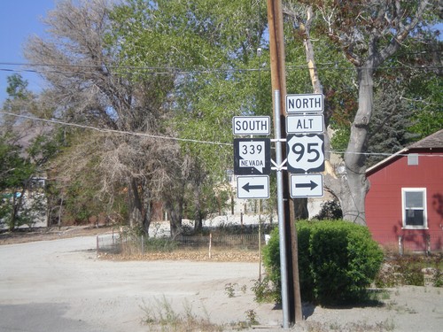
Alt. US-95 North at NV-339
Alt. US-95 North at NV-339 in Yerrington. Turn left for NV-339 south; turn right to continue north on Alt. US-95.
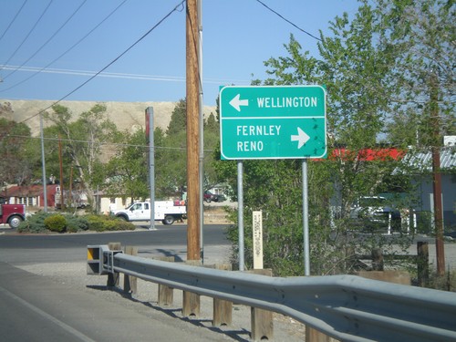
Alt. US-95 North Approaching NV-339
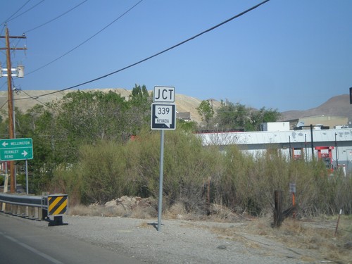
Alt. US-95 North approaching NV-339 in Yerrington. Use NV-339 south for Wellington; use Alt. US-95 north for Fernley and Reno.
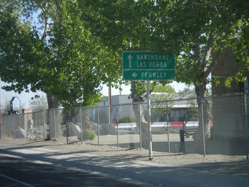
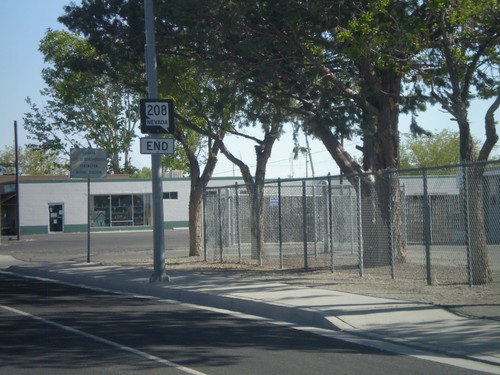
NV-208 North Approaching Alt. US-95
NV-208 North approaching Alt. US-95 in Yerrington. Use Alt. US-95 South (straight ahead) for Hawthorne and Las Vegas. Use Alt. US-95 North (left) for Fernley.
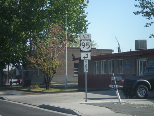
NV-208 North Approaching Alt. US-95
NV-208 north approaching Alt. US-95 north in Yerrington. Below the Alt. US-95 shield is a Nevada post mile marker. Nevada state and US highways do not have traditional mile markers, but instead have these post mile markers. The mileage on these markers reset at each county line. The top line is the route type, in this case SR (State Route). The next line is the two character county abbreviation - LY for Lyon County. The number is the actual mileage, to two decimal places.
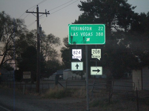
NV-208 North at NV-824
NV-208 north at NV-824 in Smith Valley. Turn right to continue on NV-208 towards Yerrington and Las Vegas.
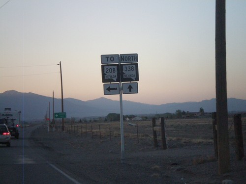
NV-338 North at NV-829 (To NV-208)
NV-338 North at NV-829 (To NV-208). This intersection is not well marked. NV-829 is marked To NV-208, when it should be marked To NV-208 South. Northbound NV-208 traffic should continue north on NV-338.
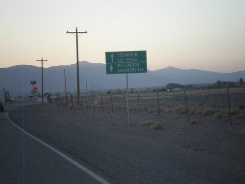
NV-338 North Approaching NV-829
NV-339 north approaching NV-829. Use NV-829 north for Wellington and Gardnerville. Use NV-338 north for Yerrington and Las Vegas.
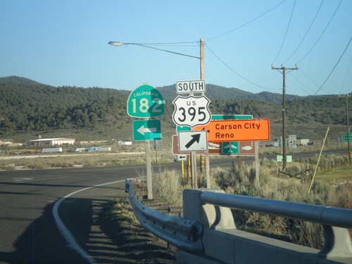
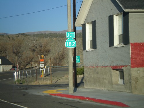
US-395 South at CA-182
US-395 south at CA-182 in Bridgeport. When this picture was taken, US-395 was closed in the evenings north of Bridgeport, so northbound US-395 traffic had to use CA-182 to reach Reno and Carson City, hence the orange directional signs.
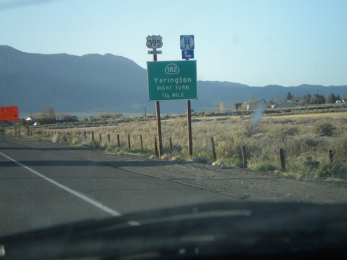
US-395 North Approaching CA-182
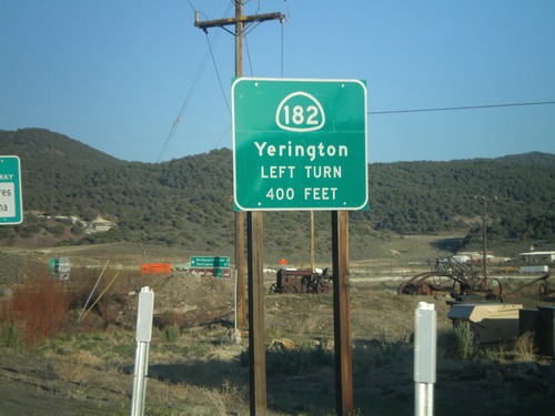
US-395 north approaching CA-182 north to Yerrington (Nevada). Turn left to continue north on US-395.
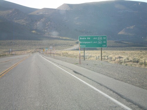
US-395 North - Distance Marker
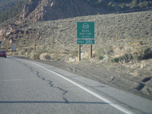
Distance marker on US-395 north. Distance to Bodie Road - Jct. CA-270, Bridgeport - Jct. CA-182, and Reno (Nevada).
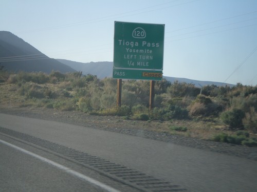
US-395 North Approaching CA-120
US-395 north approaching CA-120 east to Tioga Pass and Yosemite. Tioga Pass was opened the day after this picture was taken.
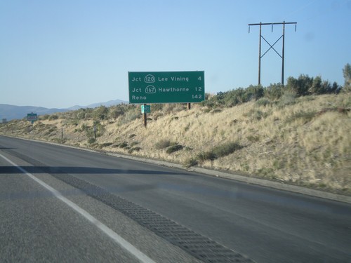
US-395 North - Distance Marker
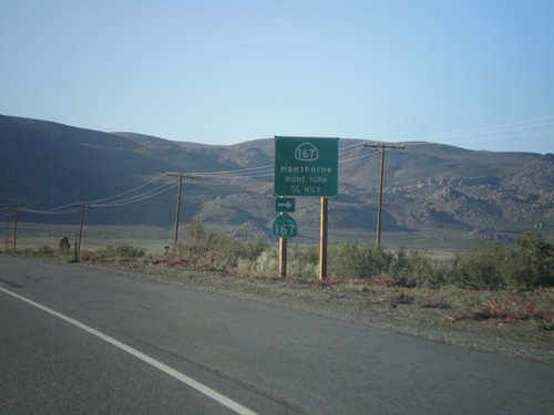
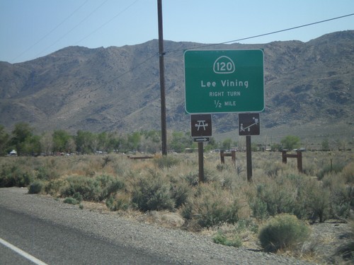
Distance marker on US-395 north. Distance to Jct. CA-120 in Lee Vining, Jct. CA-160 to Hawthorne, and Reno.
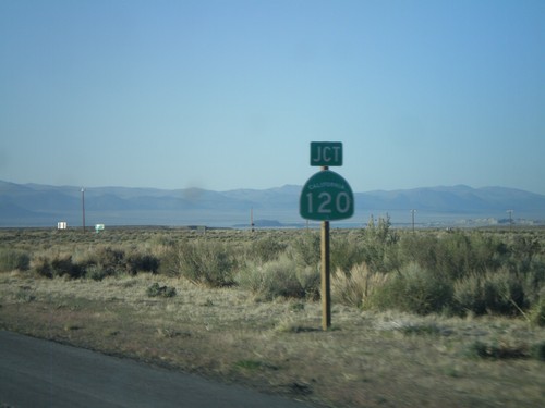
US-395 North At CA-120 East
US-395 north at CA-120 east. CA-120 west joins US-395 north to Lee Vining.
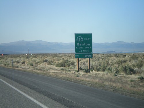
US-395 North Approaching CA-120 East
US-395 North Approaching CA-120 East to Benton. CA-120 west joins US-395 north to Lee Vining.
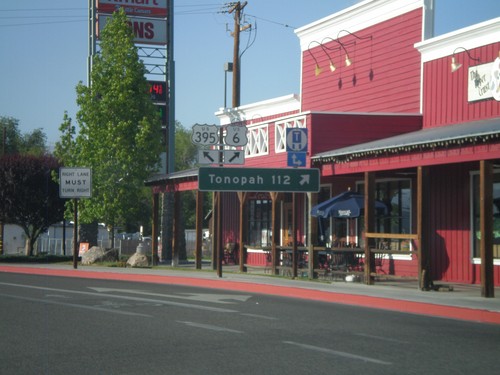
US-395 North at US-6
US-395 north at US-6 in Bishop. Use US-6 east for Tonopah (Nevada). This is the western terminus of US-6. The eastern end of US-6 is Provincetown, MA.
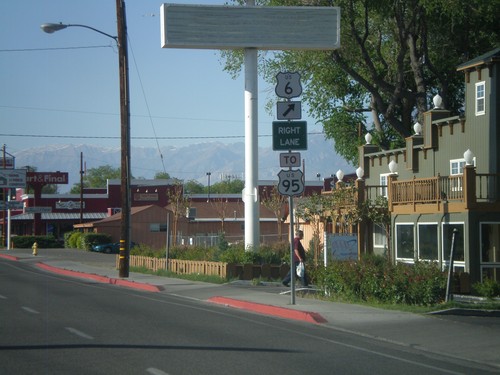
US-395 North Approaching US-6
US-395 north approaching US-6 in Bishop. Use US-6 east for US-95. This is the western terminus of US-6.
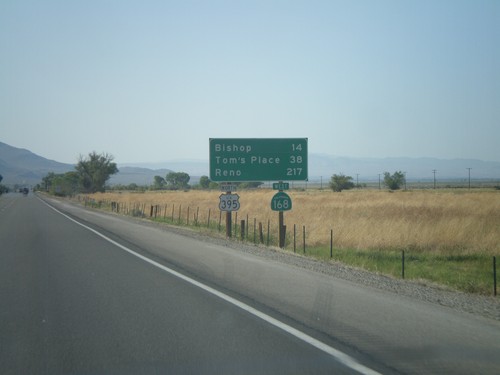
US-395 North/CA-168 West - Distance Marker
Distance marker on US-395 North/CA-168 West. Distance to Bishop, Tom’s Place, and Reno.
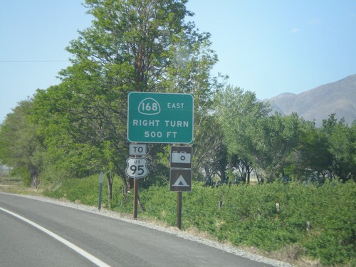
US-395 North Approaching CA-168
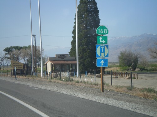
US-395 north approaching CA-168 east. Use CA-168 east for US-95 (in Nevada). CA-168 heads east from here over the White Mountains into Nevada.
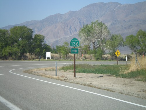
US-395 North at CA-136 East
US-395 North at CA-136 East on the south side of Lone Pine. CA-136 heads east across the north and east edges of dry Owens Lake to CA-190 junction.
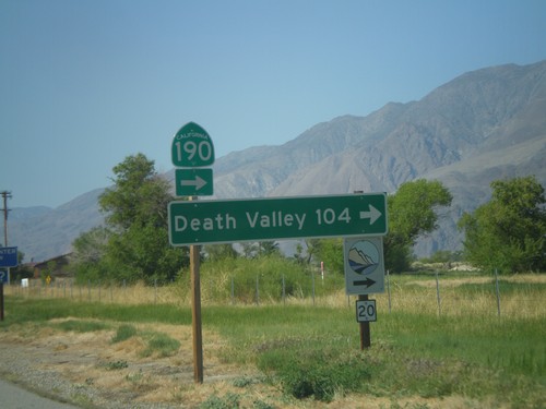
US-395 North at CA-136 (To CA-190)
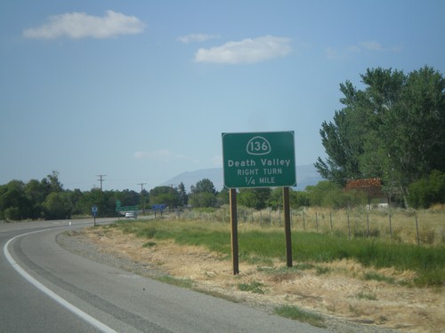
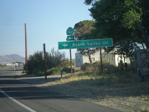
US-395 north at CA-136 north to CA-190. Use CA-136 east for Death Valley. The logo at the bottom of the sign, with the number 20 written on it, is for the Eastern Sierra Scenic Byway. Site number 20 refers to the Highest to Lowest and Desert’s Edge interpretive site.
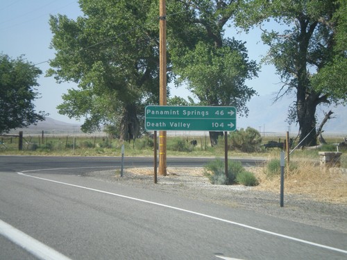
US-395 North at CA-190 East
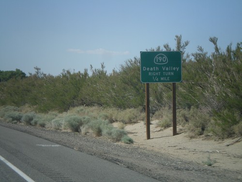
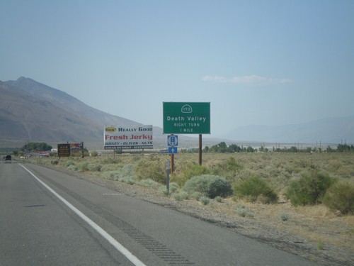
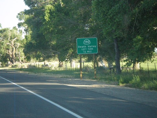
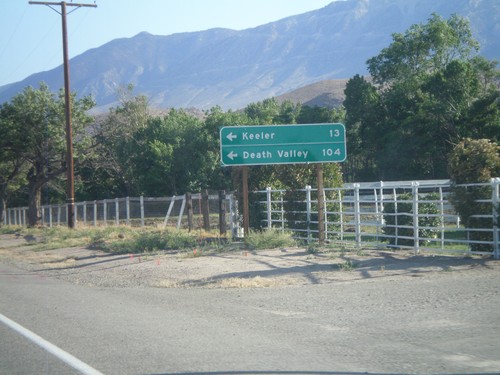
US-395 north at CA-190 east. Use CA-190 east for Death Valley and Panamint Springs.
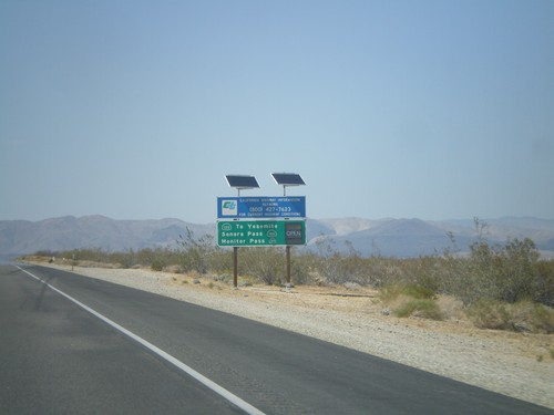
US-395 North - Sierra Nevada Pass Information
Sierra Nevada mountain pass information on US-395 north. This sign shows the status of CA-120 (Tioga Pass), CA-108 (Sonora Pass), and CA-89 (Monitor Pass). At the time this picture was taken, the only pass still closed was Tioga Pass.
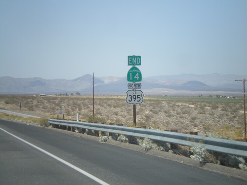
End CA-14 North at US-395
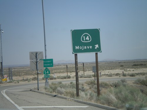
End CA-14 north at US-395. CA-14 starts in Los Angeles, and runs 116 miles to US-395 in Kern County.
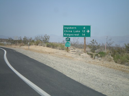
CA-14 North/CA-178 East at CA-178 East
CA-14 North/CA-178 East at CA-178 East junction. Turn right for CA-178 east to Inyokern, China Lake, and Ridgecrest. CA-178 leaves US-395 here.
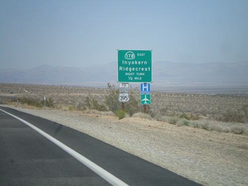
CA-14 North/CA-178 East Approaching CA-178 East
CA-14 North/CA-178 East approaching CA-178 east. Use CA-178 east for Inyokern, Ridgecrest, and US-395 south. Northbound US-395 traffic continue north on CA-14.
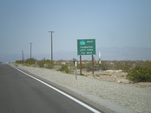
CA-14 North Approaching CA-178 West
CA-14 North approaching CA-178 West to Isabella. CA-178 east joins CA-14 north briefly to the Inyokern area.
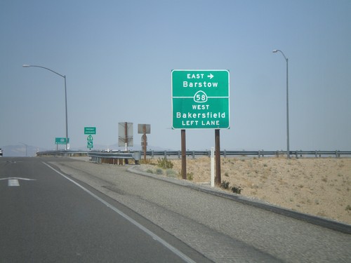
CA-14 North at CA-58
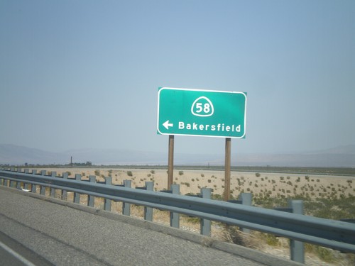
CA-14 north at CA-58 (Exit 167) junction. Turn right for CA-58 East to Barstow; continue over overpass and then left for CA-58 west to Bakersfield.
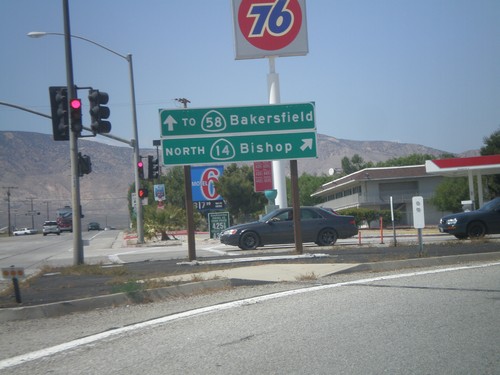
CA-14 North at Bus. CA-58 West
CA-14 North/Bus. CA-58 West split. Turn right for CA-14 north to Bishop. Continue ahead for CA-58 (via Business CA-58) west to Bakersfield.
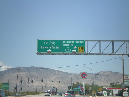
CA-14 North/Business CA-58 North Split
CA-14 North/Business CA-58 North split in Mojave. Turn right for CA-14 north to Bishop and Reno (Nevada). Continue ahead for CA-58 (via Business CA-58) to Bakersfield.
CA-14 North at Business CA-58
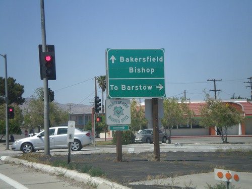
CA-14 north at Business CA-58 in Mojave. Turn right on Business CA-58 for Barstow; continue north for Bishop and Bakersfield. Business CA-58 joins CA-14 north for a few blocks through Mojave. Up until 2004, CA-58 traffic went through Mojave on the current route of Business CA-58.
CA-14 North - Distance Marker
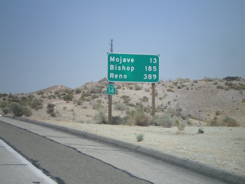
Distance marker on CA-14 north to Mojave, Bishop, and Reno (Nevada). Taken just north of the Rosamond Blvd. interchange.
CA-14 North - Mojave/Bishop
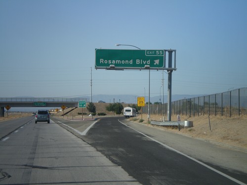
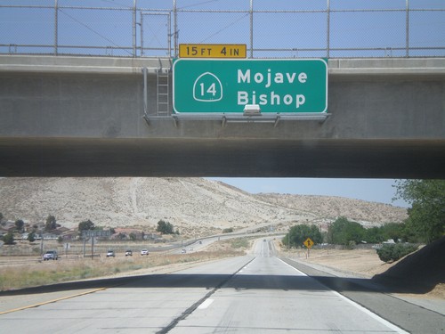
Overhead on CA-14 north to Mojave and Bishop. Taken at the Rosamond Blvd. (Exit 55) interchange.
CA-138 East at CA-14 South
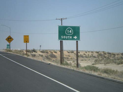
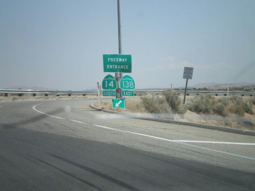
CA-138 east at CA-14 south onramp. CA-138 east joins CA-14 south to Palmdale.
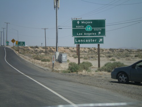
CA-138 East Approaching CA-14
CA-138 east approaching CA-14. Use CA-14 north for Mojave; CA-14 south for Los Angeles and Lancaster. CA-138 east joins CA-14 south to Palmdale.
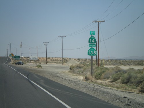
CA-138 East Approaching CA-14
CA-138 east approaching CA-14. CA-138 east joins CA-14 south to Palmdale.
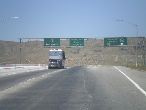
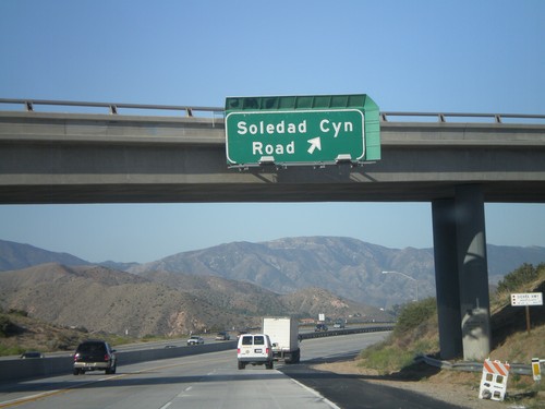
I-5 North - Exits 198A and 198B
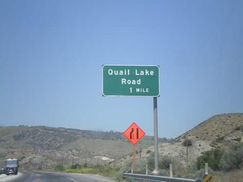
I-5 north at Exit 198A - CA-138/Lancaster/Palmdale. Approaching Exit 198B - Quail Lake Road. I-5 continues north to Sacramento.
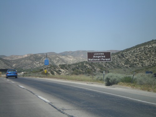
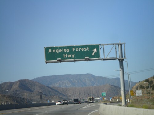
I-5 North - Leaving Angeles National Forest
Leaving Angeles National Forest on I-5 north, climbing the Grapevine.
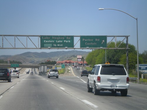
I-5 North - Exits 176A and 176B
I-5 north at Exit 176A - Parker Road/Castaic. Approaching Exit 176B - Lake Hughes Road/Castaic Lake Park.
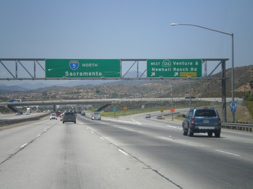
I-5 North - Exit 170
I-5 north at Exit 170 - CA-126 West/Ventura/Newhall Ranch Road. I-5 continues north to Sacramento. This sign is strange because the words Ventura and Newhall Ranch Road are separated by an "&" instead of a new line.
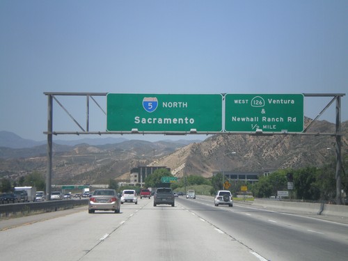
I-5 North - Exit 172
I-5 north approaching Exit 172 - CA-126 West/Ventura/Newhall Ranch Road. I-5 continues north to Sacramento.
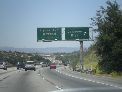
I-5 North - Exits 166 and 167
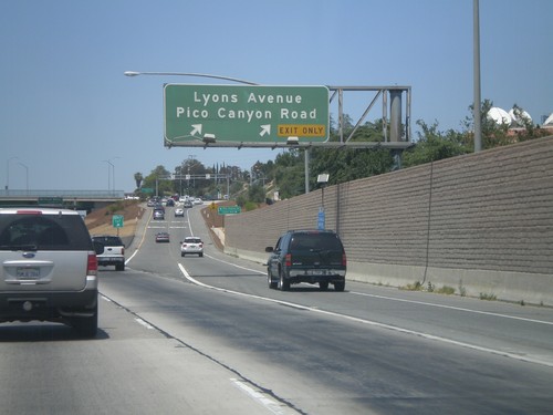
I-5 north at Exit 166 - Calgrove Blvd. Approaching Exit 167 - Lyons Ave./Newhall.
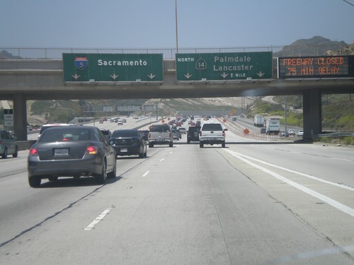
I-5 North - Exit 162
I-5 north approaching Exit 162 - CA-14 North/Palmdale/Lancaster. I-5 continues north towards Sacramento. When this picture was taken CA-14 was closed by an accident at the Red Rover interchange. I had to change my travel plans and follow I-5 up the Grapevine and cut over to CA-14 on CA-138.
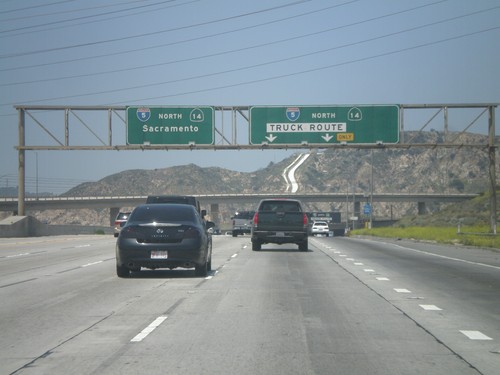
I-5 North - Exit 161A
I-5 north at Exit1 61A - I-5/CA-14/Truck Route. All I-5 northbound and CA-14 northbound trucks must exit here. This provides a separate lane for trucks through the I-210 on ramps, and CA-14 interchange. All I-5 and CA-14 auto traffic continue north along main freeway.
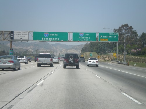
I-5 North - Exits 159B and 161B
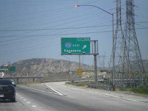
I-5 north at Exit 159B - Roxford St. Approaching Exit 161B - I-210 East/Pasadena. I-5 continues north towards Sacramento.
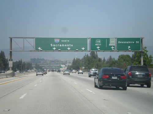
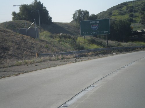
I-405 North - Exits 70 and 71A
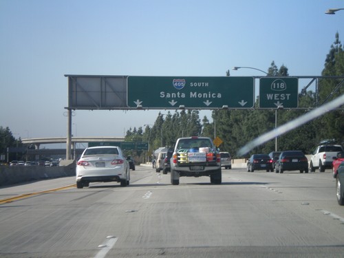
I-405 north at Exit 70 - Devonshire St. Approaching Exit 71A - CA-118. I-405 continues north towards Sacramento.
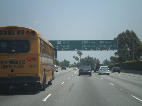
US-101 South - Exit 19A
US-101 south at Exit 19A - I-405/Sacramento/Santa Monica. Continue south on US-101 for (Downtown) Los Angeles.
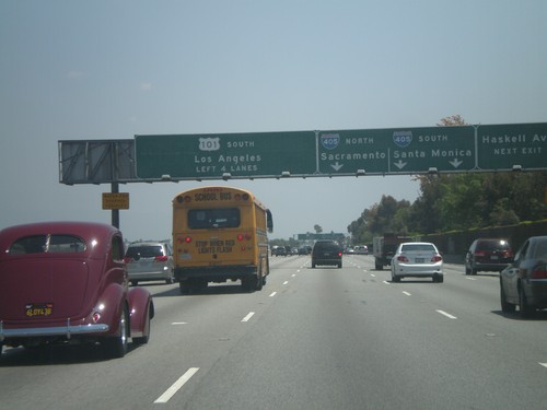
US-101 South - Exits 19B and 19A
US-101 south approaching Exit 19B - Haskell Ave and Exit 19A - I-405/Sacramento/Santa Monica. Continue south on US-101 for (Downtown) Los Angeles.
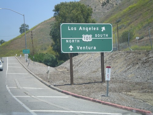
Las Virgenes Road North at US-101
Las Virgenes Road North at US-101. Use US-101 south for Los Angeles; US-101 north for Ventura.
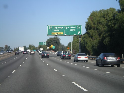
US-101 North - Exits 27A and 27B
US-101 north at Exit 27A - CA-27 North/Topanga Canyon Blvd and Exit 27B - CA-27 South/Topanga Canyon Blvd.
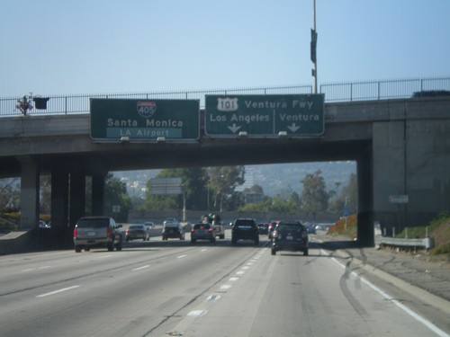
I-405 South - Exit 63B
I-405 south approaching Exit 63B - US-101/Ventura/Los Angeles. Continue south on I-405 for Santa Monica and Los Angeles Airport.
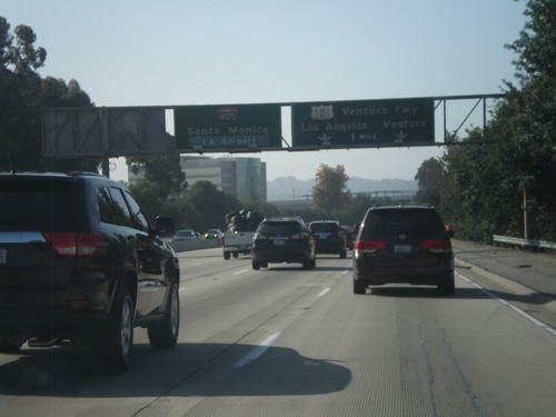
I-405 South Approaching Exit 63B
I-405 south approaching Exit 63B - US-101/Ventura Freeway/Ventura/Los Angeles. Continue south on I-405 south for Santa Monica and LA Airport.
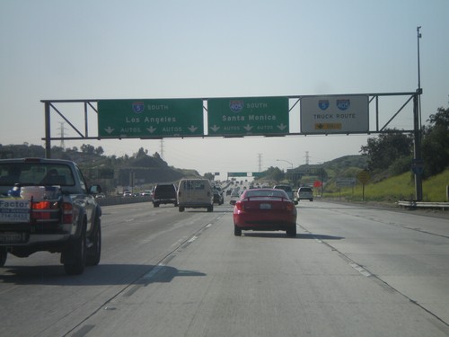
I-5 South Approaching Exit 158
I-5 south approaching Exit 158 - I-405 South/Santa Monica. All I-5 southbound and I-405 southbound truck traffic use right lanes. I-5 continues south towards Los Angeles.
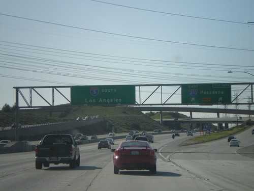
I-5 South - Exit 161A
I-5 south at Exit 161A - I-210 East/Pasadena. I-5 continues south towards Los Angeles.
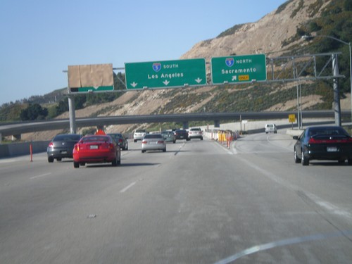
End CA-14 South at I-5
End CA-14 south at I-5. Use right lanes for I-5 north to Sacramento; use left lanes for I-5 south to Los Angeles.
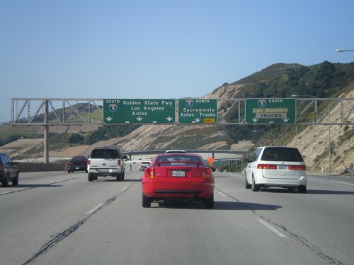
End CA-14 South at I-5 South Truck Route
Approaching end of CA-14 south at I-5 South Truck Route split. All southbound truck traffic towards Los Angeles exit here. Los Angeles bound auto traffic via I-5 south continue ahead. Also northbound I-5 truck and auto traffic towards Sacramento continue ahead.
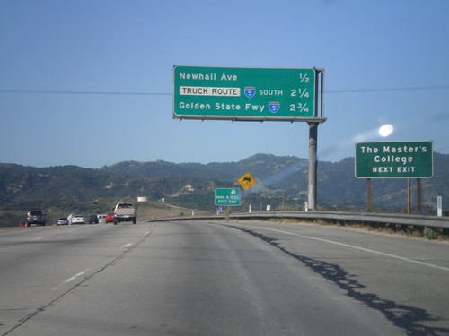
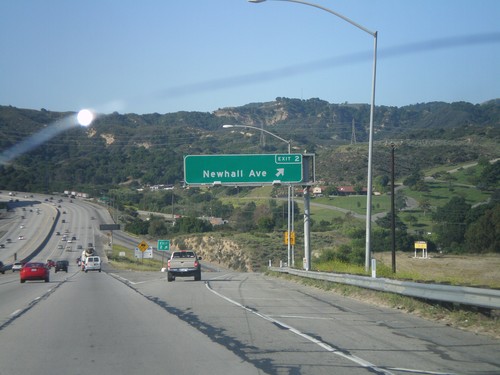
CA-14 South - Next Three Exits
Next three exits on CA-14 south in Santa Clarita: Newhall Ave., I-5 South Truck Route, and I-5/Golden State Freeway.
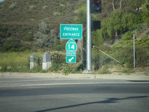
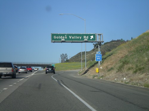
CA-14 South - Freeway Entrance
Freeway entrance to CA-14 south on Golden Valley Road in Santa Clarita.
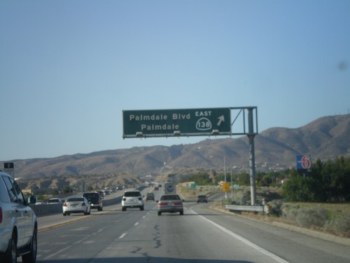
CA-14 South/CA-138 East - Exit 35
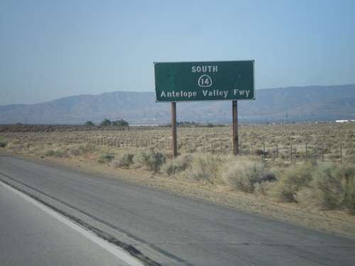
CA-14 South/CA-138 East at Exit 35 - CA-138 East/Palmdale/Palmdale Blvd. CA-138 west joins CA-14 north through Lancaster. South of this junction, CA-14 is known as the Antelope Valley Freeway. North of this junction CA-14 is known as the Aerospace Highway.
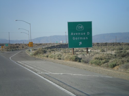
CA-14 South - Exit 49
CA-14 south at Exit 49 - CA-138 West/Avenue D/Gorman. CA-138 east joins CA-14 south to Palmdale.
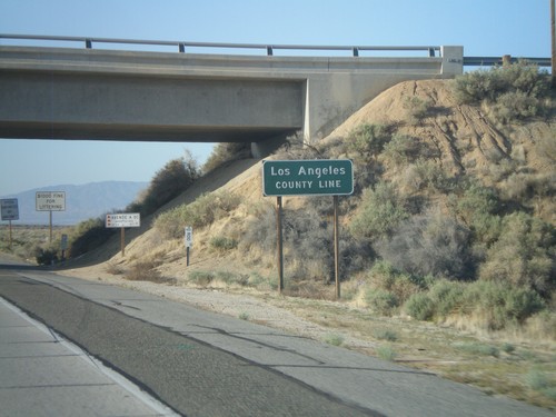
CA-14 South - Los Angeles County Line
Los Angeles County Line on CA-14 south. Los Angeles County is the most populous county in the United States according to the 2010 US Census.
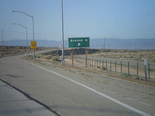
CA-14 South - Exit 52
CA-14 south at Exit 52 - Avenue A. Avenue A runs along the county line between Kern and Los Angeles counties.
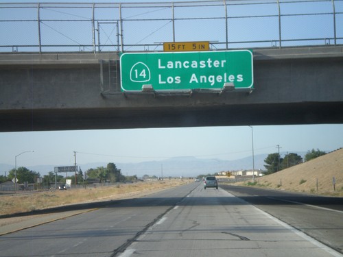
CA-14 South - Lancaster/Los Angeles
CA-14 south to Lancaster and Los Angeles. Posted on the Rosamond Blvd. interchange.
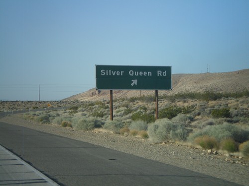
CA-14 South - Exit 64
CA-14 south at Exit 64 - Silver Queen Road. This is the first interchange on the CA-14 freeway south of Mojave.
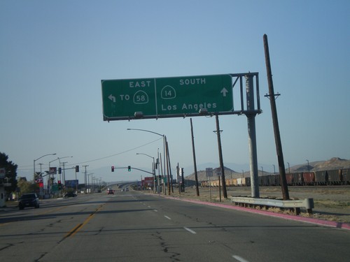
CA-14 South/Bus. CA-58 East at Split
CA-14 South/Bus. CA-58 East at split on south side of Mojave. Turn left for Bus. CA-58 East To CA-58. Continue ahead for CA-14 south to Los Angeles.
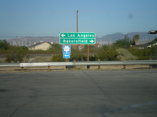
CA-14 South at Bus. CA-58
CA-14 south at Bus. CA-58 in Mojave. Turn right for Bus. CA-58 west towards Bakersfield. Turn left to continue south on CA-14 and Bus. CA-58 east towards Los Angeles.
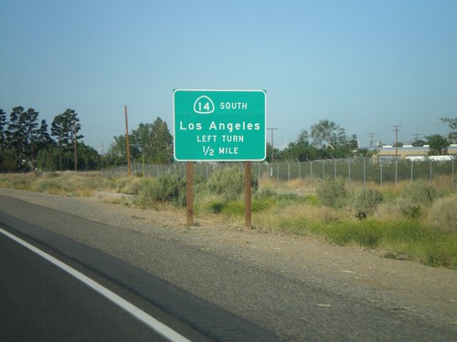
CA-14 South Approaching Bus. CA-58
CA-14 South approaching Bus. CA-58. To continue south on CA-14 towards Los Angeles, turn left at intersection.
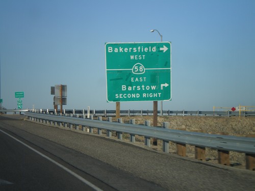
CA-14 South at CA-58
CA-14 south at CA-58. Turn right for CA-58 west to Bakersfield. Continue over overpass and take second right for CA-58 east to Barstow.
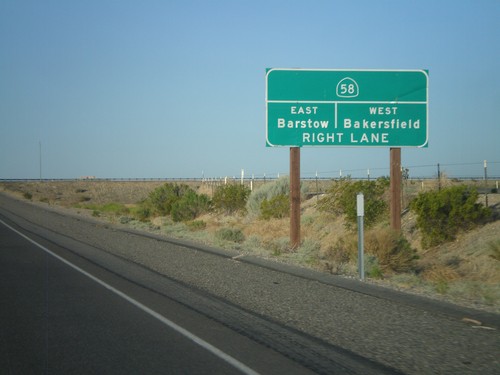
CA-14 South Approaching CA-58
CA-14 South approaching CA-58 to Barstow (east) and Bakersfield (west).
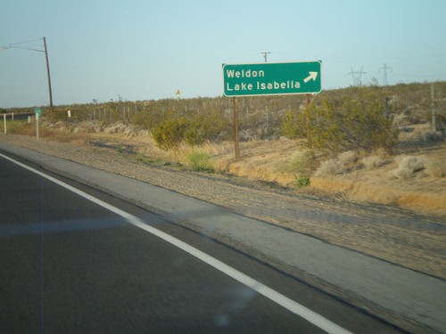
CA-14 South/CA-178 West at Split
CA-14 South/CA-178 West at CA-14/CA-178 split. Turn right for CA-178 west to Weldon and Lake Isabella.
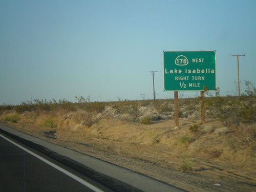
CA-14 South/CA-178 West Approaching CA-178 West
CA-14 South/CA-178 West approaching CA-178 West. Use CA-178 west for Lake Isabella.
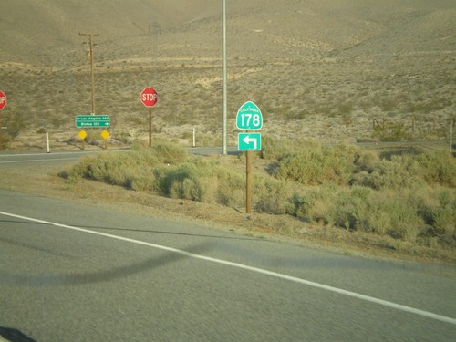
CA-178 West at CA-14
CA-178 west at CA-14 near Inyokern. CA-178 joins CA-14 south for the next few miles. Turn left to continue on CA-178.
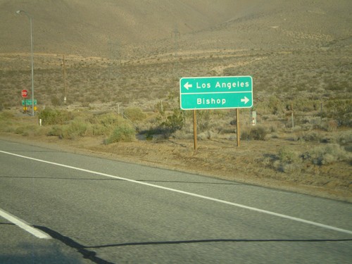
CA-178 West Approaching CA-14
CA-178 west approaching CA-14. Turn right on CA-14 north for Bishop; left on CA-14 South/CA-178 West for Los Angeles. CA-178 west joins CA-14 south for a few miles.
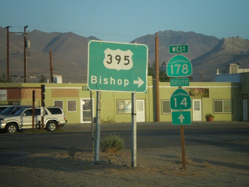
CA-178 West at Brown Road
CA-178 west at Brown Road, to US-395 north towards Bishop. Continue west on CA-178 for CA-14 junction.
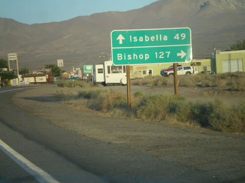
CA-178 West Approaching Brown Road
CA-178 west approaching Brown Road (to US-395 north). Turn right on Brown Road for US-395 to Bishop. Continue west on CA-178 for Lake Isabella.
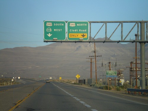
CA-178 West Approaching US-395
CA-178 west approaching US-395. Use right lane for US-395 north and Clodt Road. Continue on overpass for US-395 south and CA-178 west. Entering Inyokern, California.
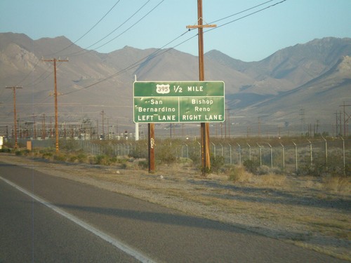
CA-178 West Approaching US-395
CA-178 west approaching US-395. Use US-395 north for Bishop and Reno (Nevada). Use US-395 south for San Bernardino.
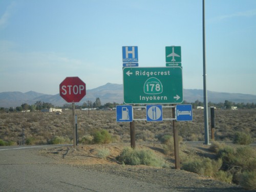
US-395 South Offramp at CA-178
US-395 south offramp at CA-178. Turn right for CA-178 west to Inyokern; left for CA-178 east to Ridgecrest.
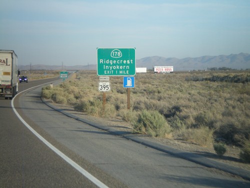
US-395 South Approaching CA-178 Interchange
US-395 South approaching CA-178 Interchange - CA-178/Inyokern/Ridgecrest. Business US-395 leaves US-395 here and follows CA-178 east into Ridgecrest. Business US-395 rejoins US-395 south of Ridgecrest at the China Lake Blvd. intersection.
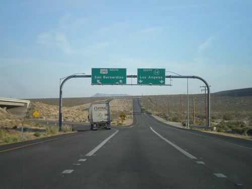
US-395 South at CA-14
US-395 south at CA-14 junction. This is the northern end of CA-14. Use left lanes for US-395 south to San Bernardino. Use right lanes for CA-14 south to Los Angeles.
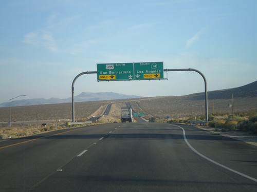
US-395 South Approaching CA-14
US-395 south approaching CA-14. Use left lanes for US-395 south to San Bernardino. Use right lanes for CA-14 south to Los Angeles.
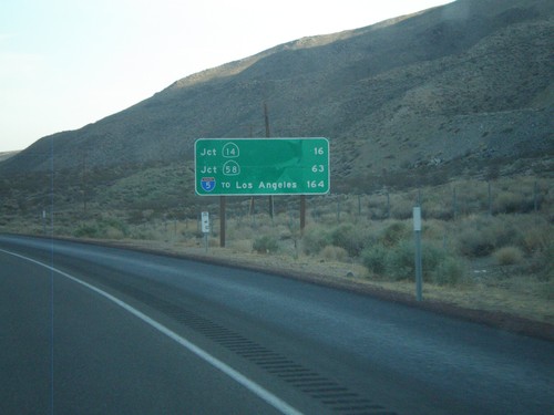
US-395 South - Distance Marker
Distance marker on US-395 south. Distance to CA-14 junction, CA-58 junction, and I-5 (To Los Angeles) junction.
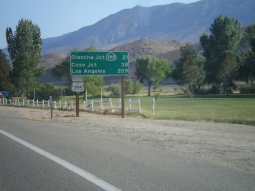
US-395 South - Distance Marker
Distance marker on US-395 south. Distance to CA-190 - Olancha Jct., Coso Jct., and Los Angeles.
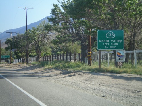
US-395 South Approaching CA-136
US-395 south approaching CA-136 junction. Use CA-136 east to Death Valley.
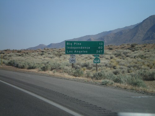
US-395 South/CA-168 East - Distance Marker
Distance marker on US-395 South/CA-168 East. Distance to Big Pine, Independence, and Los Angeles.
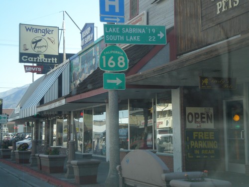
US-395 South at CA-168 West
US-395 South at CA-168 West to Lake Sabrina and South Lake. CA-168 east joins US-395 south to Big Pine.
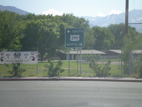
End US-6 West at US-395
End US-6 west at US-395. Use US-395 north for Reno (Nevada); US-395 south for Los Angeles. US-6 begins in Provincetown, Massachusetts.
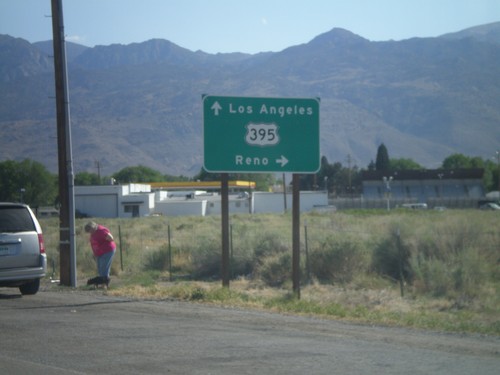
US-6 West Approaching US-395
Approaching western end of US-6 at US-395 junction. Turn right for US-395 north towards Reno (Nevada). Continue ahead for US-395 south towards Los Angeles.
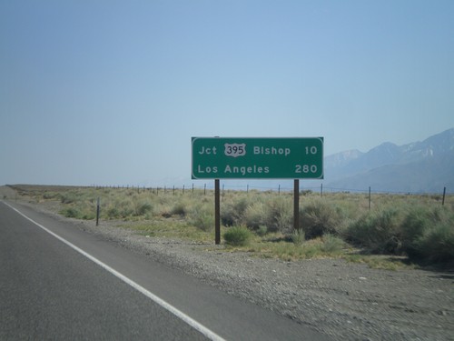
US-6 West - Distance Marker
Distance marker on US-6 west. Distances to Jct. US-395 - Bishop, and Los Angeles.
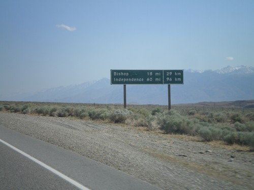
US-6 West - Distance Marker
Distance marker on US-6 west. Distance to Bishop and Independence. This is an older style distance marker which lists distances in miles and kilometers. These dual unit signs are scattered around California, although they tend to be older with button copy lettering.
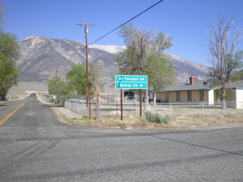
End CA-120 East at US-6
End CA-120 east at US-6. Use US-6 west for Bishop; US-6 east for Tonopah (Nevada).
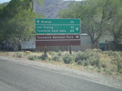
US-6 West at CA-120 West
US-6 West at CA-120 West. Use CA-120 west for Lee Vining, Yosemite East Gate, and Yosemite National Park. Continue west on US-6 for Bishop.
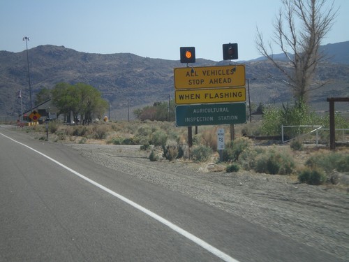
US-6 West - California State Agricultural Inspection
US-6 west approaching the California State Agricultural Inspection Station at Benton. All traffic must stop for inspection. I was waved through on this day.
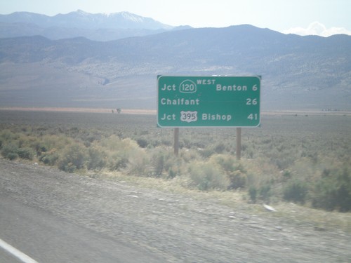
US-6 West - Distance Marker
Distance marker on US-6 west. Distance to Jct. CA-120 West/Benton, Chalfant, and Jct. US-395/Bishop. This is the first distance marker on US-6 inside of California.
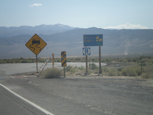
US-6 West - Welcome to California
Welcome to California on US-6 west. Taken at the Nevada-California state line. The cattle guard marks the actual state line.
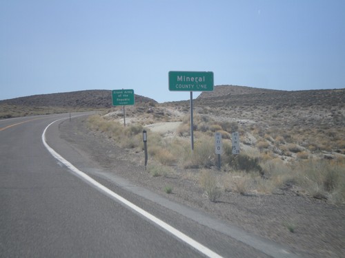
US-6 West - Mineral County Line
US-6 West at Mineral County Line. Taken at the Mineral - Esmeralda County Line.
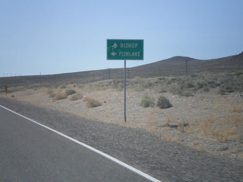
US-6 West Approaching NV-264
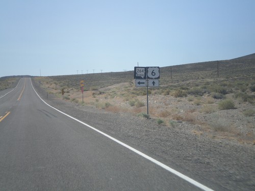
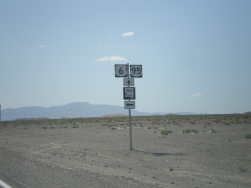
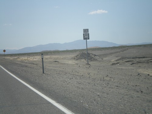
US-6 west approaching NV-264 south to Fishlake. Continue west on US-6 for Bishop (California).
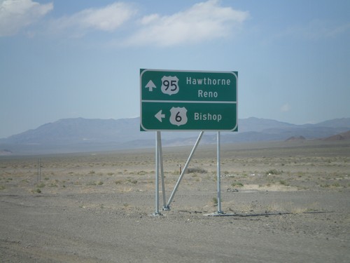
US-6 West/US-95 North at Split
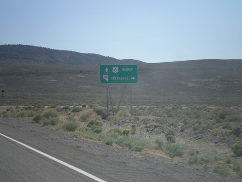
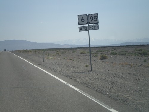
US-6 West/US-95 North at US-6/US-95 split. Continue ahead for US-95 north to Hawthorne and Reno. Turn left for US-6 west to Bishop (California).
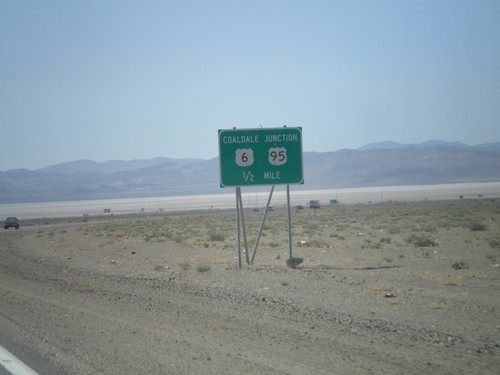
US-6 West/US-95 North at US-6/US-95 Split
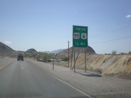
US-95 North/US-6 West approaching Coaldale Junction, the US-95/US-6 split.
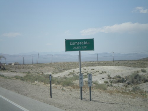
US-6 West/US-95 North - Esmeralda County Line
Esmeralda County Line on US-6 West/US-95 North leaving Tonopah. Taken at the Esmeralda-Nye County Line.
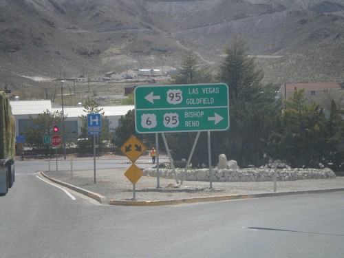
US-6 West Approaching US-95
US-6 west approaching US-95. Use US-95 south for Las Vegas and Goldfield. Use US-95 north/US-6 west for Bishop (California) and Reno. US-6 joins US-95 north to Coaldale Junction.
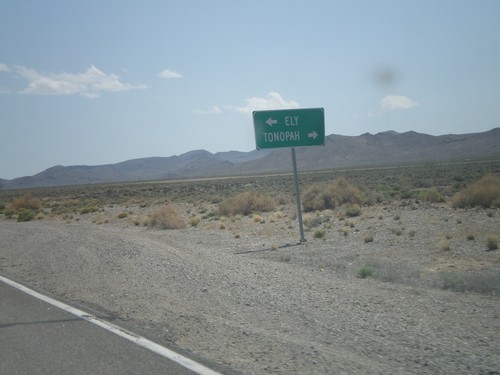
NV-376 South Approaching US-6
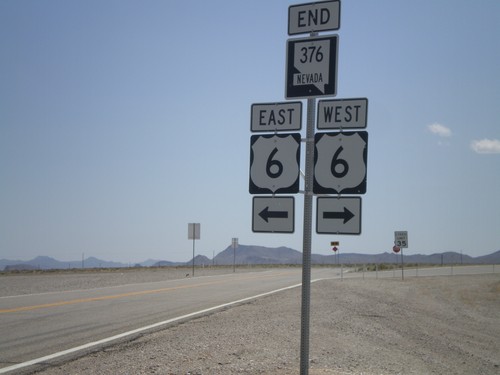
NV-376 South approaching US-6 in Nye County. Turn left for Ely; right for Tonopah.
