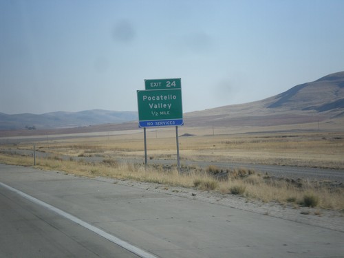
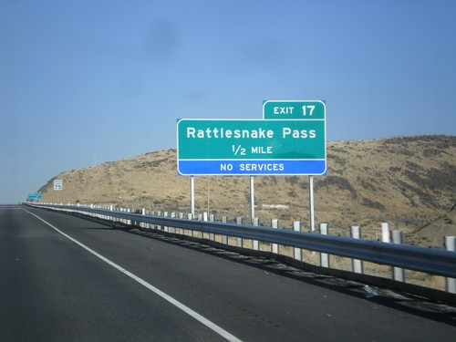
Signs From October 2012
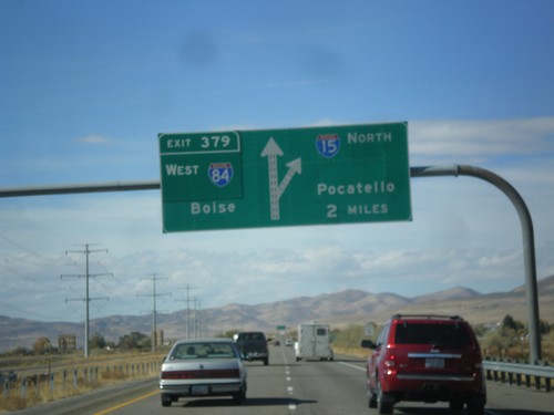
I-15 North - Exit 379
I-15 North/I-84 West approaching Exit 379 - I-84 West/Boise (Idaho). Continue north on I-15 towards Pocatello (Idaho). This is the northern end of the I-84/I-15 multiplex.
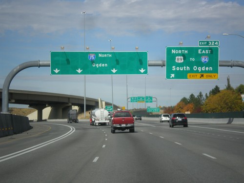
I-15 North - Exit 324
I-15 North at Exit 324 - US-89 North/To I-84/South Ogden. Continue north on I-15 towards Ogden.
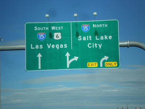
US-6 West Approaching I-15
US-6 west approaching I-15. Merge right for I-15 north towards Salt Lake. Continue ahead for I-15 South/US-6 West for Las Vegas (Nevada). US-6 west joins I-15 south to Santiquin.
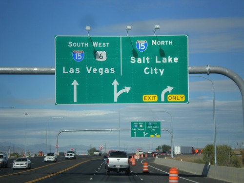
US-6 West at I-15
US-6 west at I-15 in Spanish Fork. Use I-15 north for Salt Lake; use I-15 South/US-6 West for Las Vegas (Nevada). US-6 joins I-15 south to Santiquin.
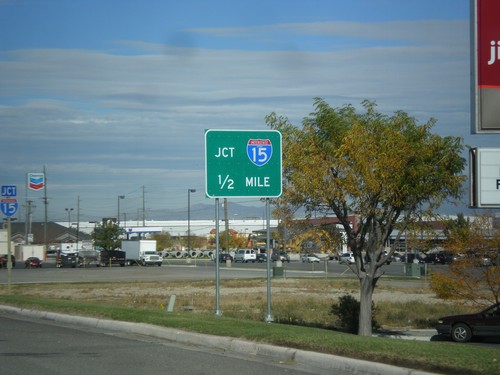
US-6 West Approaching I-15
US-6 west approaching I-15 onramps. Notice the the I-15 shield inside the I-15 Jct. big green sign has the word Utah in it. There are a few of these shields around the Provo area that appear to be newly posted.
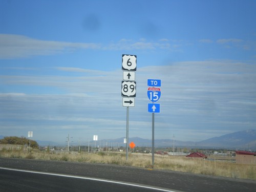
US-6 West/US-89 North Approaching Split
US-6 West/US-89 North approaching US-89/US-6 split. Continue west on US-6 for I-15 junction. The I-15 shield contains the word Utah. This is one of the many I-15 shields in the Provo area that have the word Utah in it.
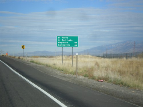
US-6 West/US-89 At US-6/US-89 Split
US-6 West/US-89 at US-6/US-89 split. Turn right for US-89 north to Springville and Mapleton. Continue west on US-6 towards Salt Lake City and Provo.
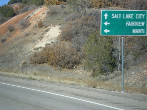
US-6 West at US-89
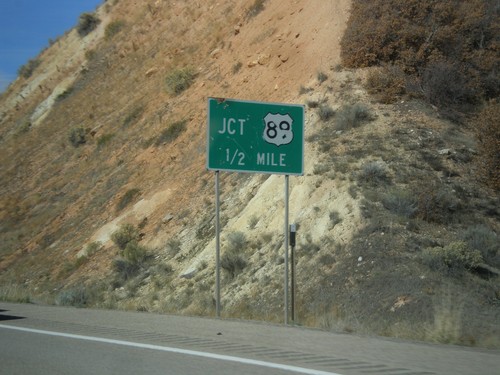
US-6 west at US-89 junction. Turn left for US-89 south to Manti, and Fairview. Continue west on US-6/US-89 North towards Spanish Fork. US-89 joins US-6 through Spanish Fork Canyon.
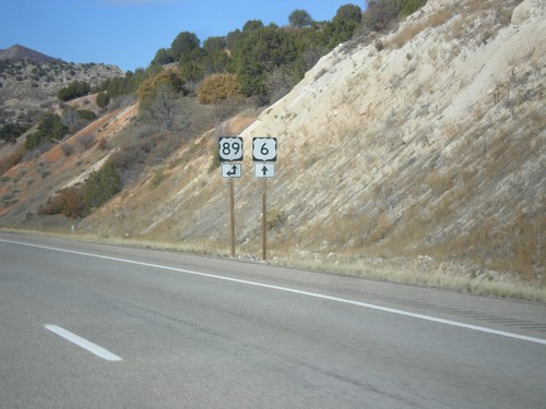
US-6 West Approaching US-89
US-6 west approaching US-89. Turn left for US-89 south; continue ahead for US-89 North/US-6 West. US-89 joins US-6 west through Spanish Fork Canyon.
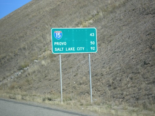
US-6 West - Distance Marker
Distance Marker on US-6 west. Distance to I-15, Provo, and Salt Lake City.
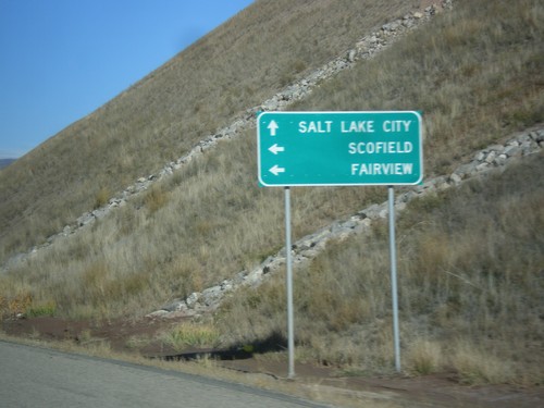
US-6 West Approaching UT-96
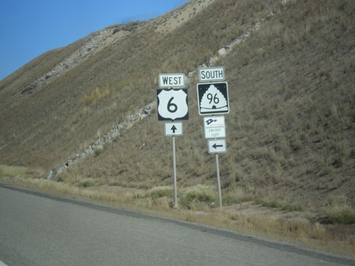
US-6 west approaching UT-96 to Scofield and Fairview. Continue west on US-6 for Salt Lake City.
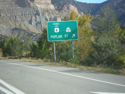
US-6 West/US-191 North at UT-244
US-6 West/US-191 north at UT-244. Exit here for UT-244/Business US-6/Poplar St.
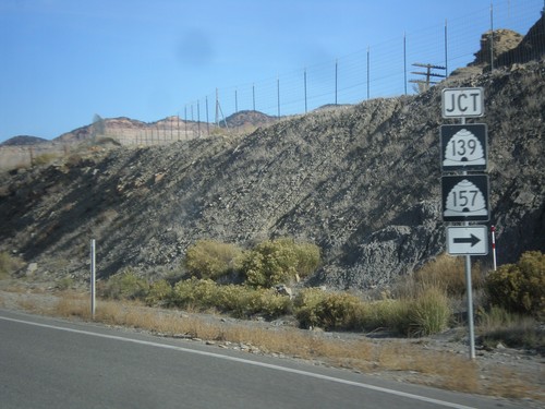
US-6 West/US-191 North at UT-139/UT-157
US-6 West/US-191 North at UT-139/UT-157. This is the southern end of the Helper business loop.
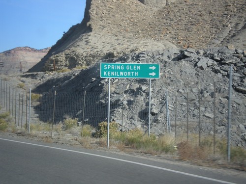
US-6 West/US-191 North - UT-157/US-139 Jct.
US-6 West/US-191 North approaching UT-157/UT-139 junction. Turn right on UT-157/US-139 for Spring Glen and Kneilworth.
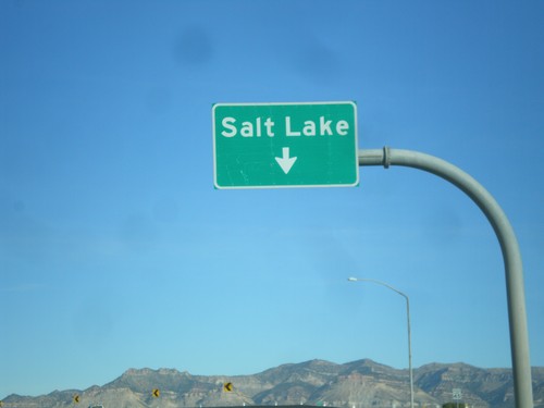
US-6 West/US-191 North - Exit 243
US-6 West/US-191 North - Exit 243. Use left lanes for Salt Lake. Right lanes are for Exit 243.
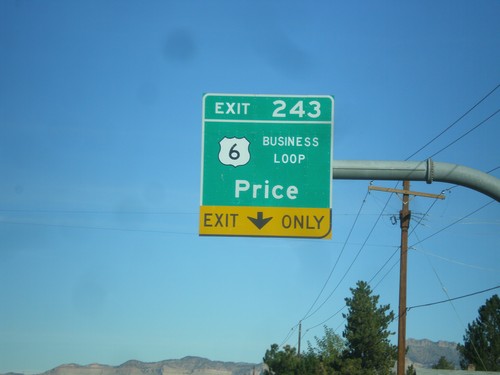
US-6 West/US-191 North Approaching Exit 243
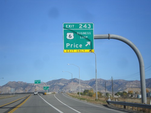
US-6 West/US-191 North approaching Exit 243 - Business Loop US-6/Price. The is the eastern end of the Price business loop.
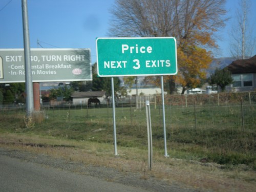
US-6 West/US-191 North - Price Next 3 Exits
US-6 West/US-191 North - Price Next 3 Exits. A freeway beings here that bypasses Price. Some of the freeway is only one lane in each direction.
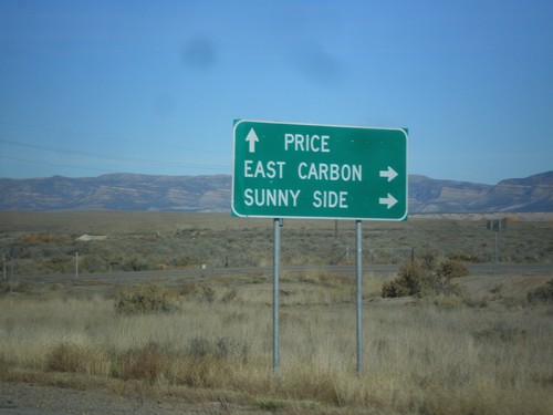
US-6 West/US-191 North Approaching UT-123
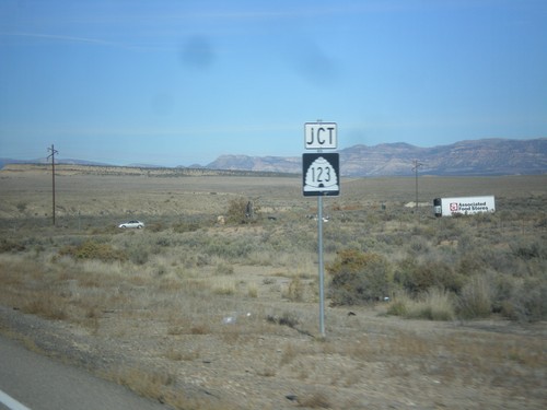
US-6 West/US-191 North approaching UT-123. Use UT-123 for East Carbon and Sunnyside. Continue on US-6 West/US-191 North for Price.
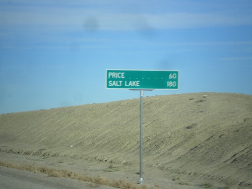
US-6 West/US-191 North - Distance Marker
Distance marker on US-6 West/US-191 North. Distance to Price and Salt Lake. Taken just north of I-70.
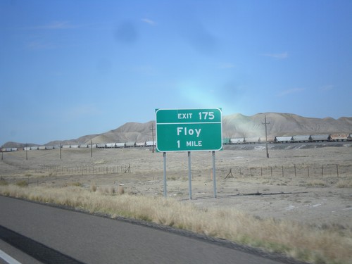
I-70 East Approaching Exit 175
I-70 east approaching Exit 175 - Floy. This exit previously was called Ranch Exit.
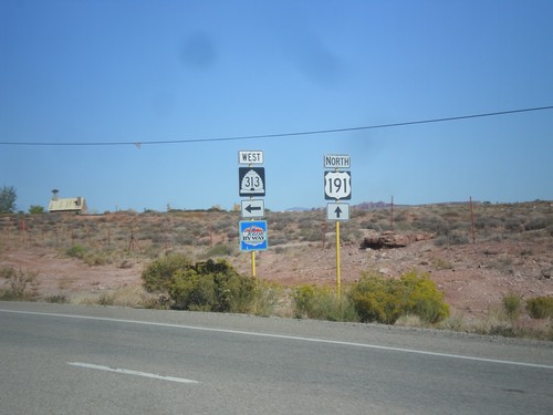
US-191 North at UT-313
US-191 North at UT-313. UT-313 is signed as a Utah Scenic Byway. UT-313 connects US-191 with Dead Horse Point State Park, and the Island in the Sky unit of Canyonlands.
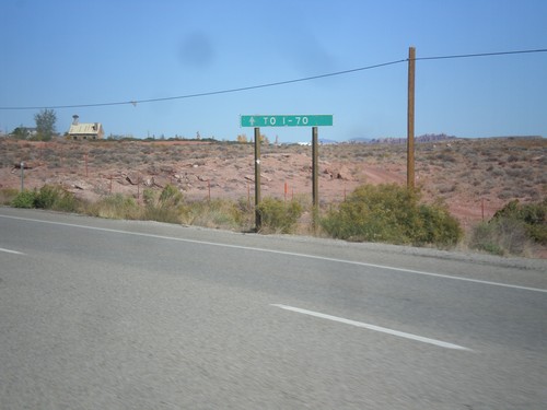
US-191 North Approaching UT-313
US-191 north approaching UT-313. Continue north on US-191 north for I-70.
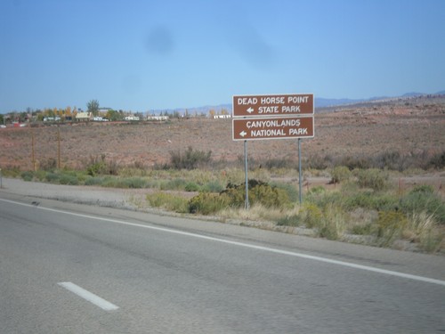
US-191 North Approaching UT-313
US-191 north approaching UT-313. Use UT-313 west for Dead Horse Point State Park, and Canyonlands National Park (Island In The Sky Unit).
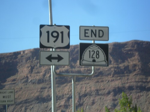
End UT-128 East at US-191
End UT-128 east at US-191 in Moab. This intersection has been replaced with a stoplight in recent years. UT-128 follows the south side of the Colorado River east from Moab towards Colorado.
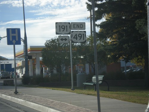
End US-491 North at US-191
End US-491 north at US-191 in Monticello. US-491 is former highway US-666, and runs from Gallup, New Mexico to Monticello, Utah. This is the northern terminus of US-491.
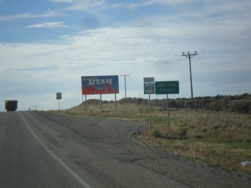
US-491 North - Welcome To Utah
Welcome to Utah on US-491 north at the Colorado-Utah Border. Also entering San Juan County.
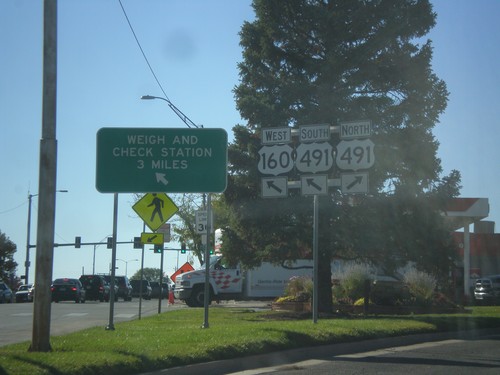
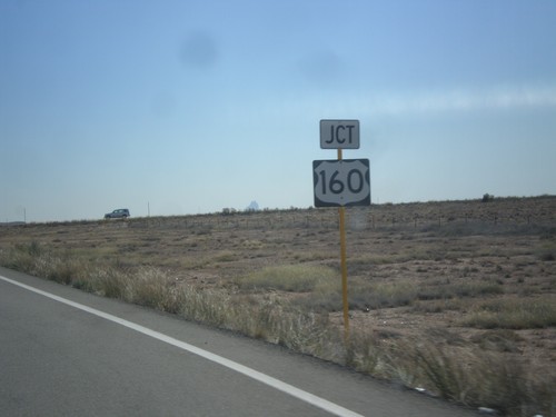
US-160 West at US-491
US-160 west at US-491. Merge right for US-491 north. Continue straight for US-491 South/US-160 West. US-491 South joins US-160 West. Use US-160 West/US-491 North for Weigh and Check Station.
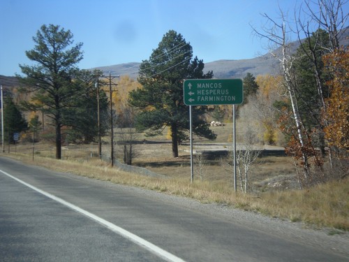
US-160 West Approaching CO-140
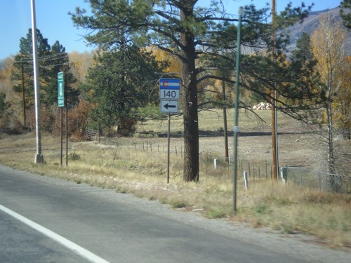
US-160 west approaching CO-140 south to Hesperus and Farmington (New Mexico). Continue west on US-160 for Mancos.
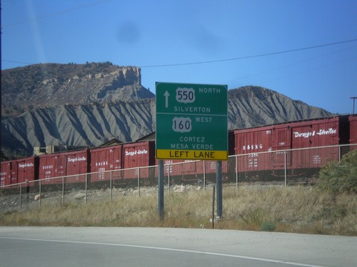
US-550 North/US-160 West at Split
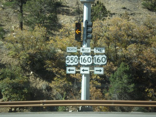
US-550 North/US-160 West at US-550/US-160 split in Durango. Continue straight for US-550 north to Silverton. Turn left for US-160 west to Cortez and Mesa Verde (National Park).
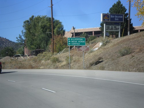
US-550 North/US-160 West Approaching US-160/US-550 Split
US-550 North/US-160 west approaching US-160/US-550 split. Continue north on US-550 for Silverton. Turn left on US-160 west for Cortez and Mesa Verde (National Park).
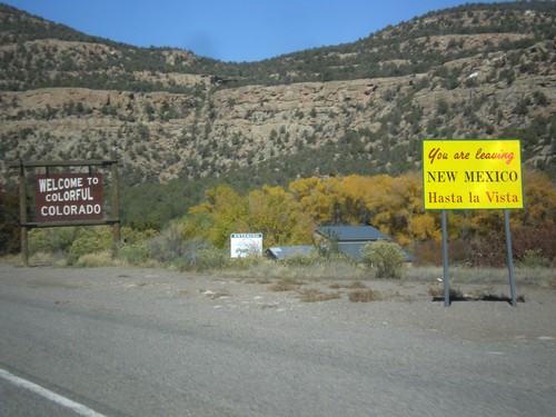
US-550 North - Leaving New Mexico/Welcome To Colorado
Leaving New Mexico and Entering Colorado on US-550 North. Many of the exits to New Mexico have the Leaving New Mexico - Hasta La Vista sign. The Welcome To Colorful Colorado is a standard welcome sign. Taken at the New Mexico - Colorado State Line on US-550 north.
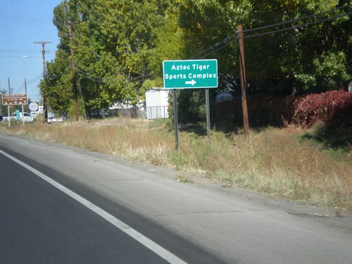
US-550 North Approaching NM-173
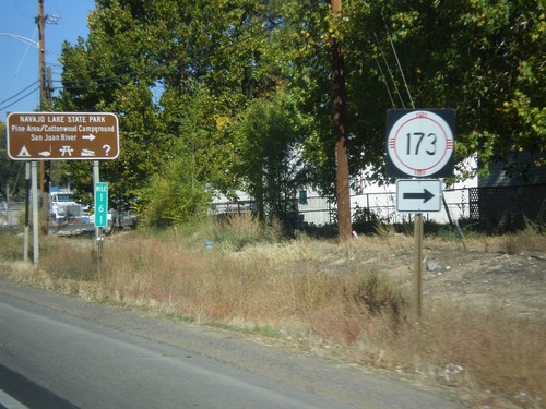
US-550 north approaching NM-173. Turn right on NM-173 for the Aztec Tiger Sports Complex.
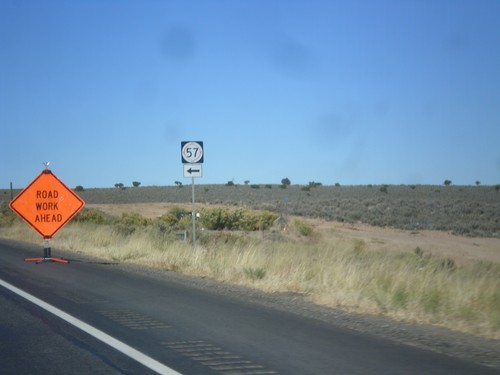
US-550 North at NM-57
US-550 north at NM-57. While many maps appear to show NM-57 as connecting US-550 to Chaco Canyon from the north, NM-57 does not provide access to Chaco Canyon.
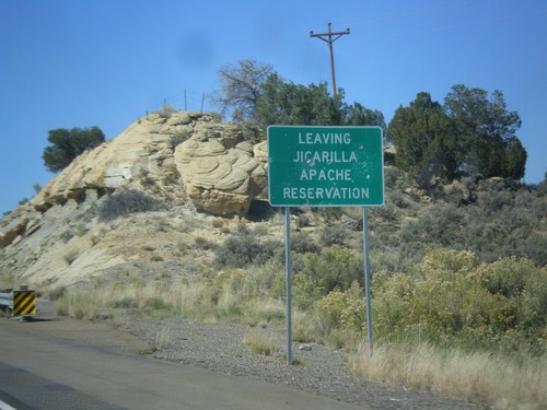
US-550 North - Leaving Jicarilla Apache Reservation
Leaving Jicarilla Apache Reservation on US-550 north.
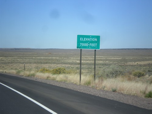
US-550 North - Elevation 7000 Feet
Elevation 7000 Feet, descending from the Continental Divide on US-550 north.
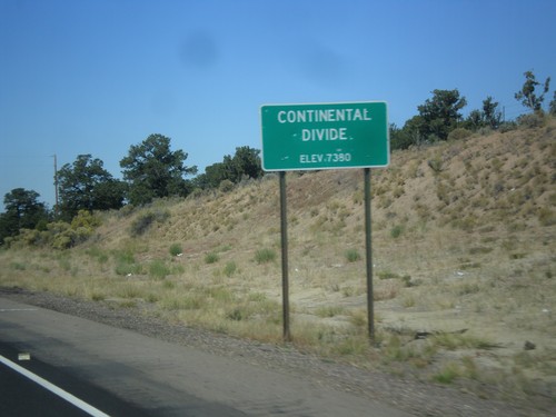
US-550 North - Continental Divide
Continental Divide - Elevation 7380 Feet on US-550 north. This is the divide between the San Juan River drainage and the Rio Grande drainage.
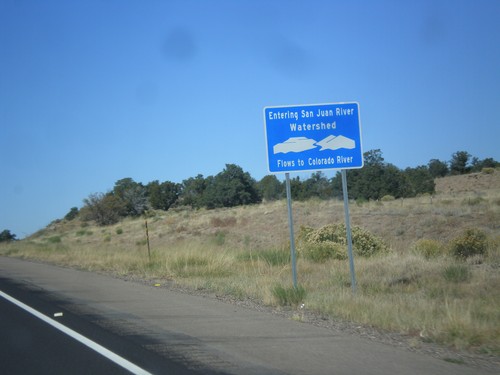
US-550 North - San Juan River Watershed
Entering the San Juan River watershed at the Continental Divide on US-550 north. The San Juan River flows into the Colorado River.
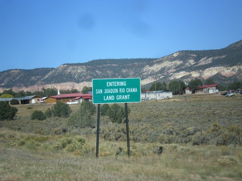
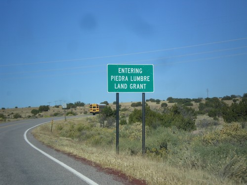
NM-96 West - San Juaquin Rio Chama Land Grant
Entering the San Juaquin Rio Chama Land Grant on NM-96 west.
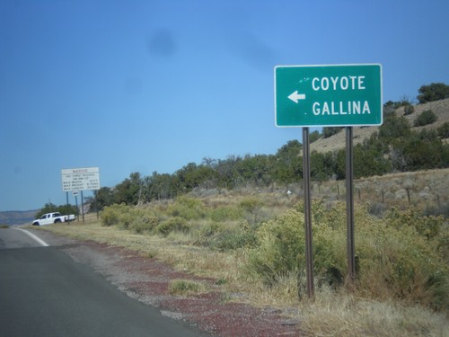
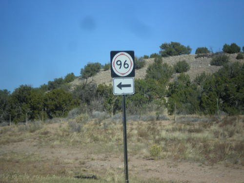
US-84 West Approaching NM-96
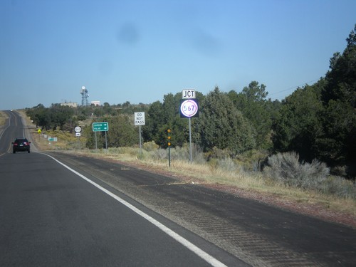
US-84 west approaching NM-96. Turn left for NM-96 west to Coyote and Gallina.
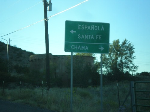
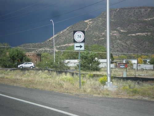
End NM-74 West at US-84/US-285
End NM-74 west at US-84/US-285. Use US-84 West/US-285 North to Chama; use US-84 East/US-285 South to Espanola and Santa Fe.
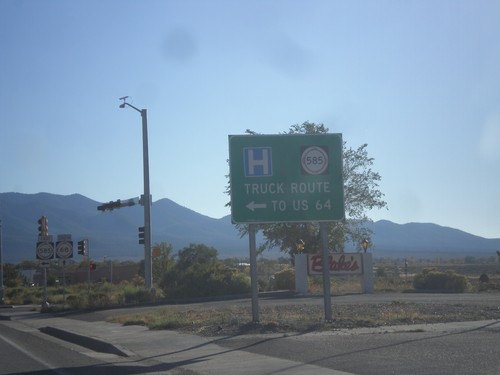
NM-68 South at NM-585 East
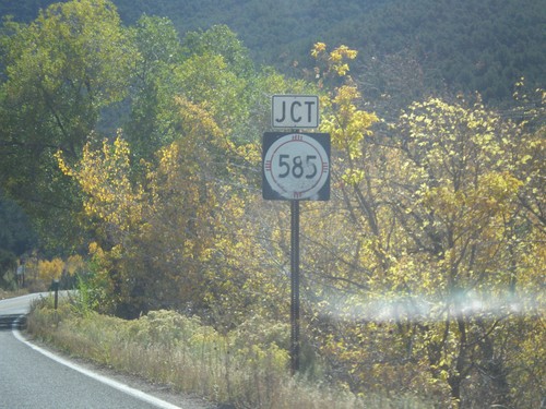
NM-68 South at NM-585 East to US-64. NM-585 is the truck route to US-64 east towards Raton.
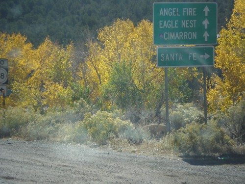
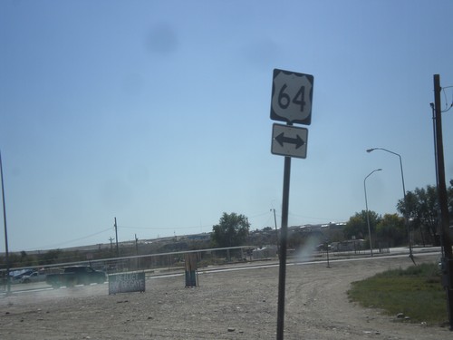
US-64 East at NM-585
US-64 east at NM-585. Use NM-585 west for NM-68 and Santa Fe. Continue east on US-64 for Cimarron, Angel Fire, and Eagle Nest.
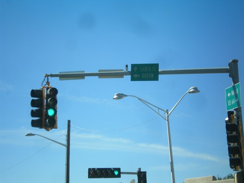
US-64 East at NM-68
US-64 east at NM-68. Turn left to continue on US-64 east to Raton. Continue ahead for NM-68 to Santa Fe.
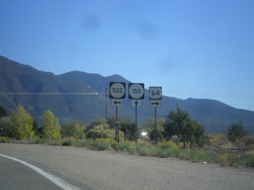
US-64 East at NM-522 and NM-150
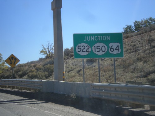
US-64 east at NM-522 and NM-150. Turn right to continue east on US-64; ahead for NM-150; left for NM-522.
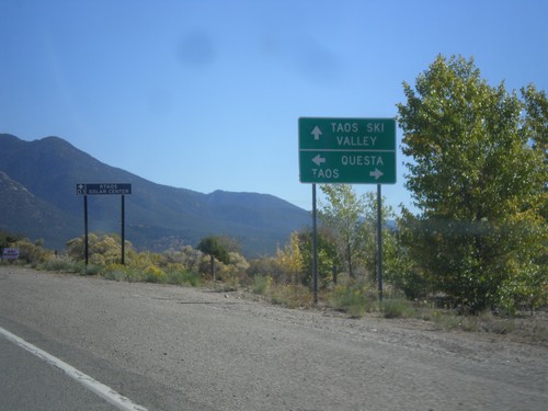
US-64 East Approaching NM-150/NM-522
US-64 East approaching NM-150/NM-522. Turn right for US-64 east to Taos; ahead for NM-150 to Taos Ski Valley; left for NM-522 to Questa.
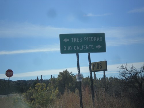
End NM-111 East at US-285
End NM-111 east at US-285. Turn right for US-285 south to Ojo Caliente; left for US-285 north to Tres Piedras.
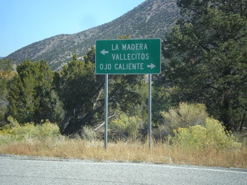
End NM-554 at NM-111
End NM-554 at NM-111. Turn right on NM-111 for Ojo Caliente; left for La Madera and Vallecitos.
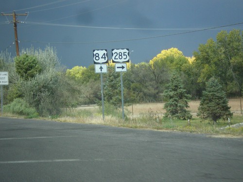
US-84 West/US-285 North at US-84/US-285 Split
US-84 West/US-285 North at US-84/US-285 split. Turn right for US-285 north; continue straight for US-84 west.
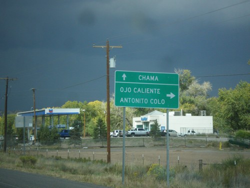
US-84 West/US-285 North Approaching US-84/US-285 Split
US-84 West/US-285 North approaching US-84/US-285 split. Turn right for US-285 north to Ojo Caliente and Antonito, Colorado. Continue west on US-84 for Chama.
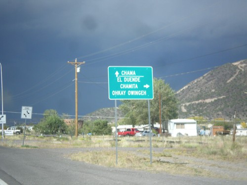
US-84 West/US-285 North Approaching NM-74
US-84 West/US-285 North approaching NM-74. Turn right on NM-74 for El Duende, Chamita and Ohkay Owingeh. Continue north on US-84 West/US-285 North for Chama.
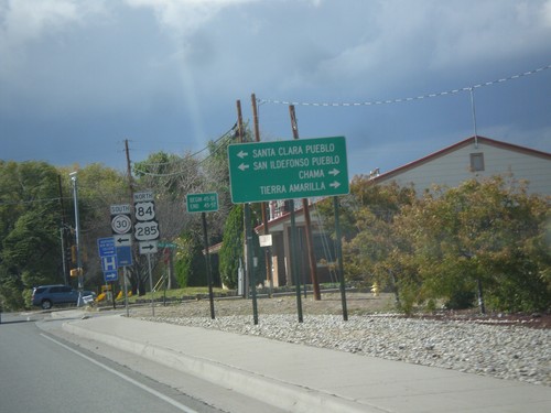
US-84 West/US-285 North Approaching NM-30
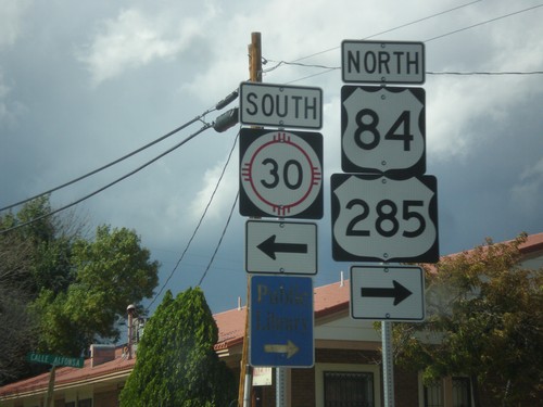
US-84 West/US-285 North approaching NM-30. Use NM-30 south for Santa Clara Pueblo, and San Ildefonso Pueblo. Continue on US-84 West/US-285 North for Chama and Tierra Amarilla.
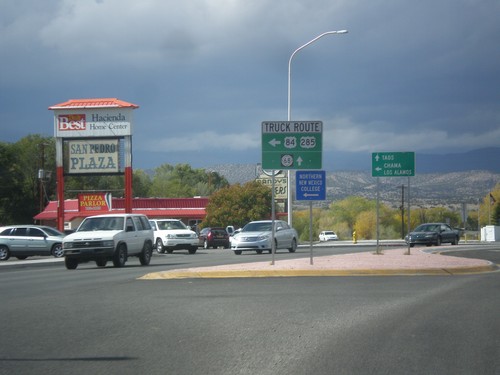
US-84 West/US-285 North at US-84/US-285 Truck Route
US-84 West/US-285 North at US-84/US-285 Truck Route (Santa Clara Bridge Road). Continue north on US-285/US-84 for general route through Espanola and NM-68. Truck traffic turn left for Chama and Los Alamos; continue straight towards Taos (via NM-68).
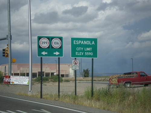
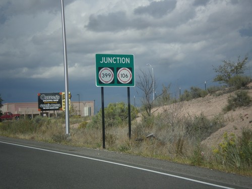
US-84 West/US-285 North - NM-399/NM-106 Jct.
US-84 West/US-285 North at NM-399/NM-106 Jct. Entering Espanola, Elevation 5590.
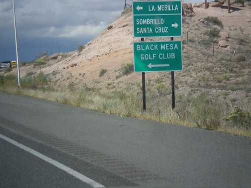
US-84 West/US-285 North Approaching NM-106/NM-399
US-84 West/US-285 North approaching NM-106/NM-399. Turn left on NM-399 for La Mesilla and Black Mesa Golf Club; right on NM-106 for Santa Cruz and Sombrillo.
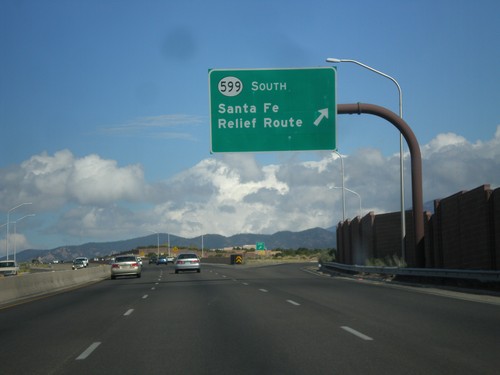
US-84 West/US-285 North at NM-599 Interchange
US-84 West/US-285 North at NM-599 interchange. Use NM-599 South for the Santa Fe Relief Route. The Sante Fe Relief Route connects the north side of Santa Fe to I-25 south without having to go through downtown Santa Fe.
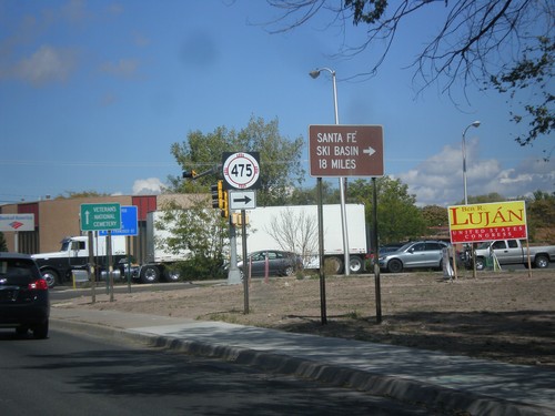
US-84 West/US-285 North at NM-475
US-84 West/US-285 North at NM-475 (Paseo de Peralta). Turn right on NM-475 for Santa Fe Ski Basin.
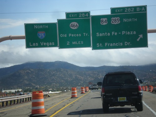
I-25 North - Exits 282B-A and 284
I-25 north at Exit 282B-A - US-84/US-285 North/Santa Fe - Plaza/St. Francis Drive. Approaching Exit 284 - NM-466/Old Pecos Trail. Continue north on I-25 for Las Vegas. US-84 joins I-25 north towards Las Vegas; US-285 joins I-25 north for 8 miles.
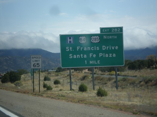
I-25 North Approaching Exit 282
I-25 North approaching Exit 282 - US-84/US-285 North/Santa Fe Plaza/St. Francis Drive.
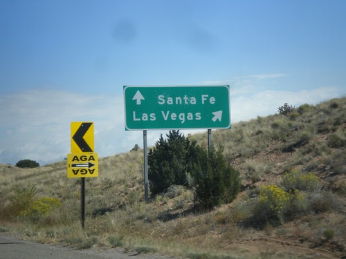
NM-14 North at I-25
NM-14 north at I-25. Merge right for I-25 north to Las Vegas. Continue north on NM-14 for Santa Fe.
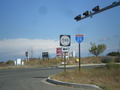
NM-14 North at NM-599
NM-14 north at NM-599. Use NM-599 for I-25. Northbound I-25 traffic can continue north on NM-14, although NM-599 is a shortcut to the freeway. This is the southern end of the Santa Fe Relief Route.
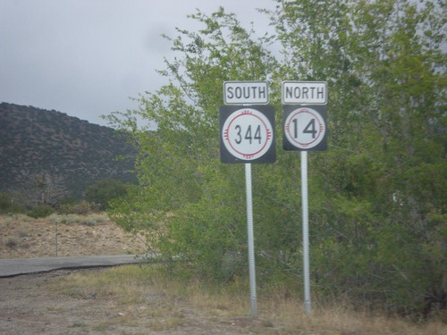
NM-14 North at NM-344
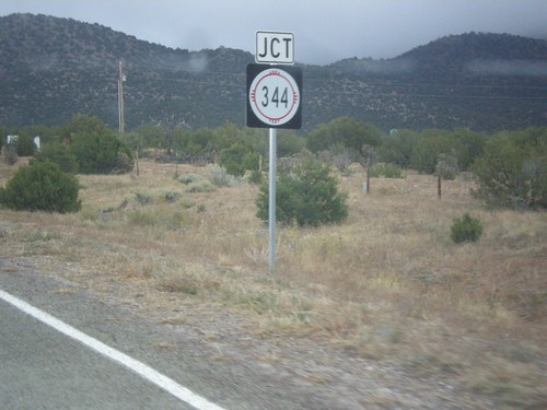
NM-14 north at NM-344. The arrows are missing from these signs. Turn right for NM-344 south; straight for NM-14 north.
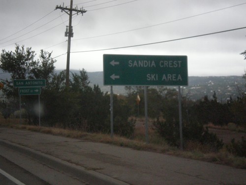
NM-14 North at NM-306/NM-536
NM-14 north at NM-536 west to Sandia Crest Ski Area. Turn right for NM-306, Frost Road. Entering the community of San Antonito.
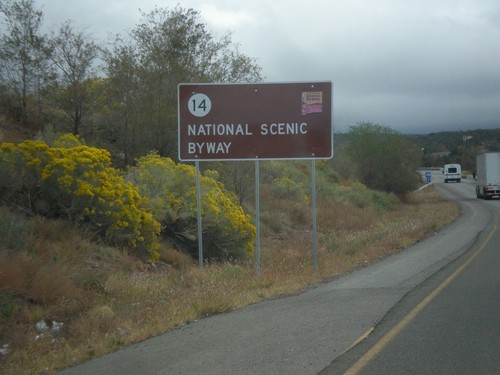
NM-14 North - National Scenic Byway
NM-14 north National Scenic Byway and New Mexico Scenic Byway sign. This is the start of the Turquoise Trail.
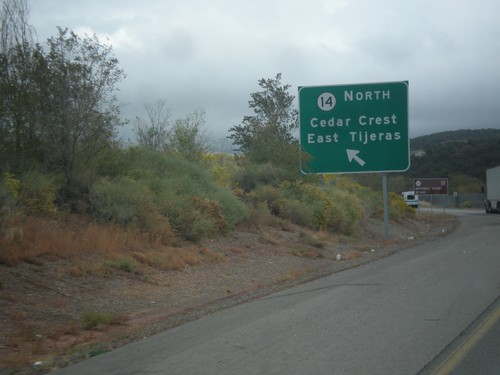
NM-14 at NM-333/NM-337
NM-14/NM-333/NM-337 junction. Use left lane for NM-14 North/Cedar Crest/East Tijeras.
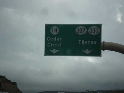
I-40 East Exit 175 Offramp
I-40 East Exit 175 offramp. Use left lane for NM-14 north to Cedar Crest. Use right lane for NM-337/NM-333 to Tijeras.
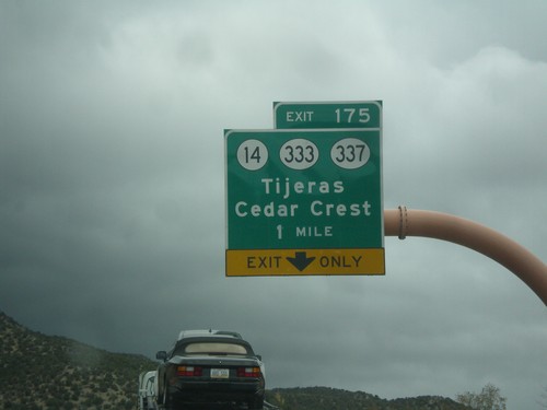
I-40 East - Exit 175
I-40 east at Exit 175 - NM-14/NM-333/NM-337/Tijeras/Cedar Crest. Use NM-14 for the Turquoise Trail National Scenic Byway and the Sandia Crest Ski Area.
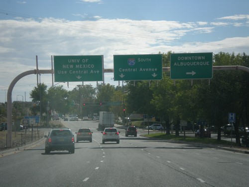
I-25 South - Exit 224B Frontage Road
I-25 South on Exit 224B Frontage Road (Locust St). Turn right for Downtown Albuquerque (Dr. Martin Luther King Jr Blvd.). Continue straight for I-25 South and the University of New Mexico (via Central Ave.).
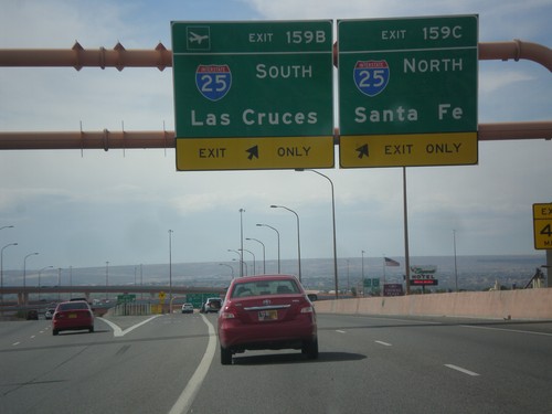
I-40 West - Exits 159B and 159C
I-40 west at Exits 159B and 159C. Use Exit 159B for I-25 South to Las Cruces; Exit 159C for I-25 north to Santa Fe.
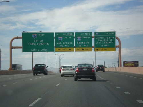
I-40 West - Exits 159B-D
I-40 west approaching Exit 159D - University Blvd./2nd-4th St./LOCAL TRAFFIC. Exit 159C - I-25 North/Santa Fe. Exit 159B - I-25 South/Las Cruces. Continue west on I-40 for Gallup.
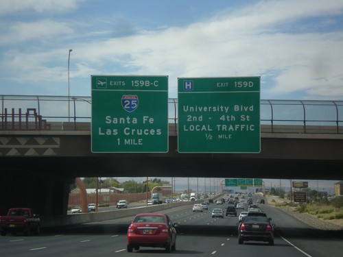
I-40 West Approaching Exits 159B-D
I-40 west approaching Exit 159D - University Blvd./2nd-4th St./LOCAL TRAFFIC; Exit 159BC - I-25/Santa Fe/Las Cruces.
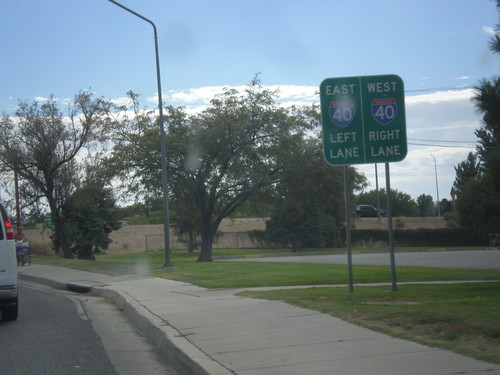
Eubank Blvd. South Approaching I-40
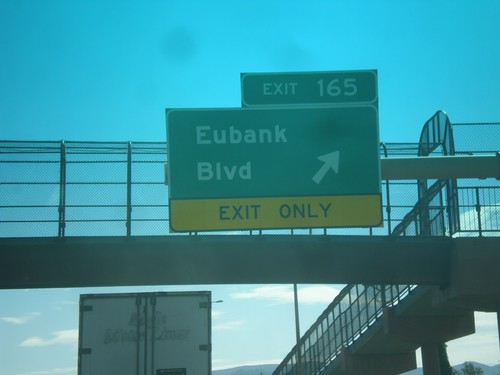
Eubank Blvd. South approaching I-40 (Exit 165). Use right lane for I-40 west; left lanes for I-40 east.
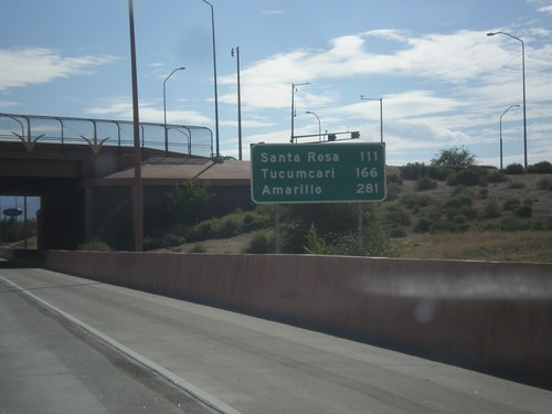
I-40 East - Distance Marker
Distance marker on I-40 east in Albuquerque. Distance to: Santa Rosa, Tucumcari, Amarillo (Texas).
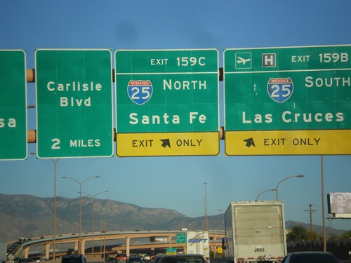
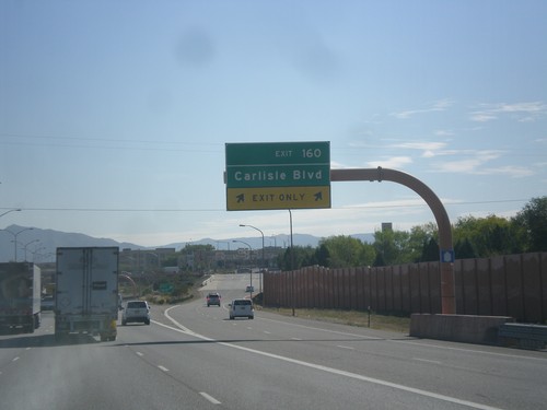
I-40 East - Exits 159CB. Approaching Exit 160.
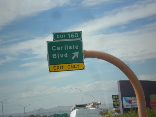
I-40 east at Exit 159B - I-25 South/Las Cruces and Exit 159C - I-25 North/Santa Fe. Approaching Exit 160 - Carlisle Blvd.
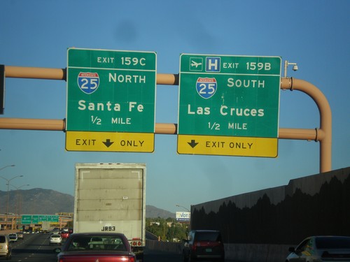
I-40 East Approaching Exits 159C-B
I-40 east approaching Exit 159B - I-25 South/Las Cruces and Exit 159C - I-25 North/Santa Fe.
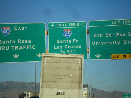
I-40 East - Exits 159 A-C
I-40 east at Exit 159A - 4th-2nd St./University Blvd. Approaching Exit 159BC - I-25/Las Cruces/Santa Fe. Continue east on I-40 east to Santa Rosa.
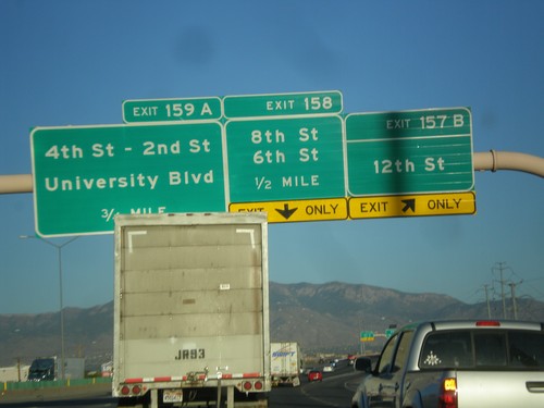
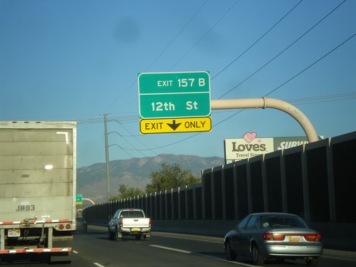
I-40 East - Exits 157B, 158, 159A
I-40 east at Exit 157B - 12th St. Approaching Exit 158 - 8th St./6th St. Also approaching Exit 159A - 4th St. - 2nd St./University Blvd.
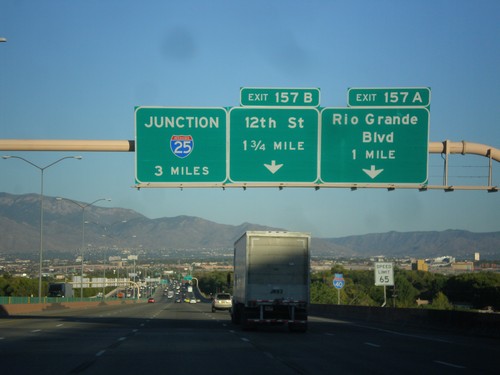
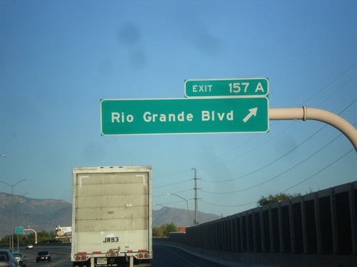
I-40 East Approaching Exits 157A-B
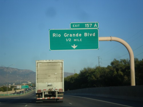
I-40 east approaching Exit 157A - Rio Grande Blvd. and Exit 157B - 12th St. Also approaching I-25 junction in 3 miles.
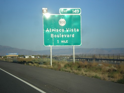
I-40 East Approaching Exit 149
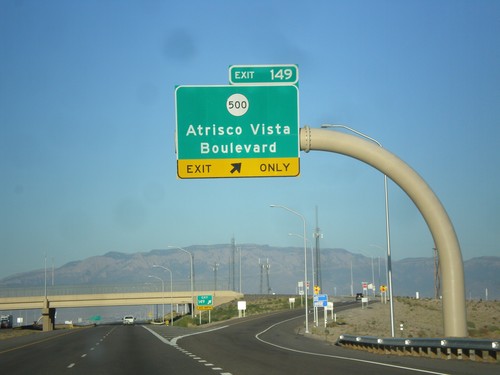
I-40 east approaching Exit 149 - NM-500/Atrisco Vista Blvd. Use Exit 149 to follow the route of historic US-66 into downtown Albuquerque via Central Ave.
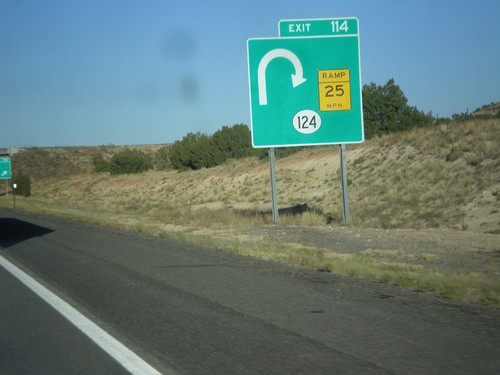
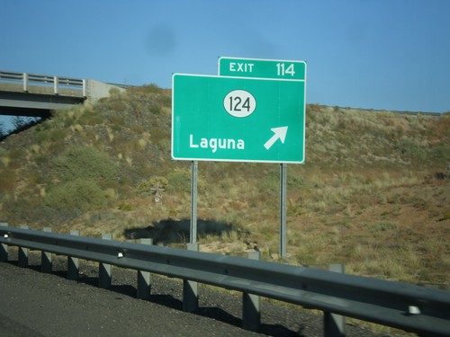
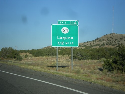
I-40 East Approaching Exit 114
I-40 east approaching Exit 114 - NM-124. The NM-124 interchange is a trumpet style interchange, and involves a loop from eastbound I-40 to NM-124. This is depicted on the sign diagram.
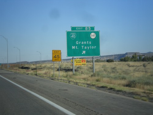
I-40 East - Exit 85
I-40 east at Exit 85 - BL-40/NM-547/Grants/Mt. Taylor. This is the east end of the Grants business loop.
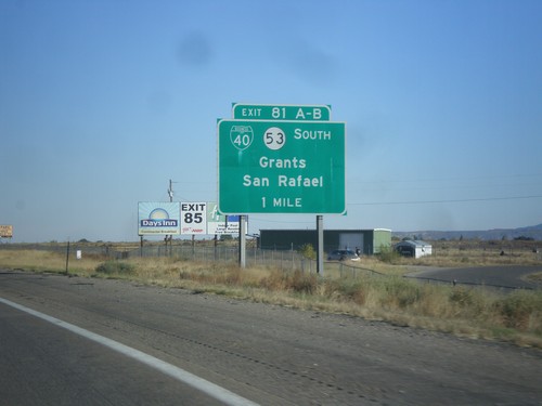
I-40 East - Exit 81AB
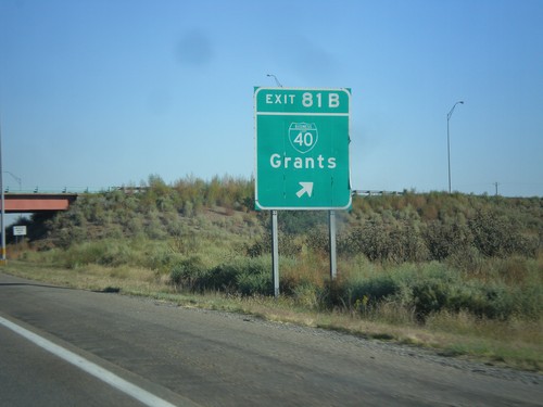
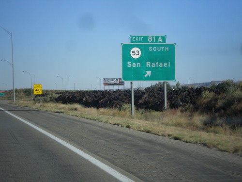
I-40 east at Exit 81 AB - BL-40/NM-53 South/Grants/San Rafael. The is the west end of the Grants business loop.
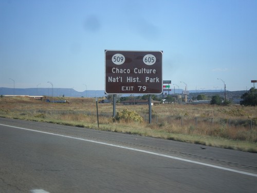
I-40 East Approaching Exit 79
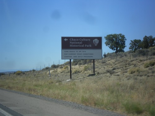
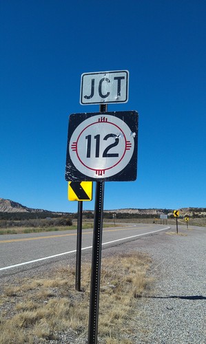
I-40 east approaching Exit 79 - BL-40/NM-112/NM-605/San Mateo. Use Exit 79 for Chaco Culture National Historic Park via NM-605 and NM-509.
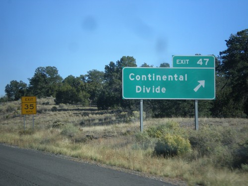
I-40 East - Exit 47
I-40 east at Exit 47 - Continental Divide. I-40 crosses the Continental Divide here, between the Colorado River drainage (west) and the Rio Grande drainage (east).
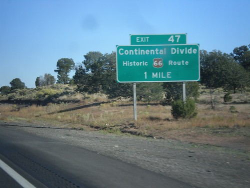
I-40 East Approaching Exit 47
I-40 east approaching Exit 47 - Continental Divide/Historic US-66 Route.
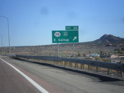
I-40 East - Exit 26
I-40 east at Exit 26 - BL-40/NM-118/East Gallup. This is the eastern end of the Gallup business loop.
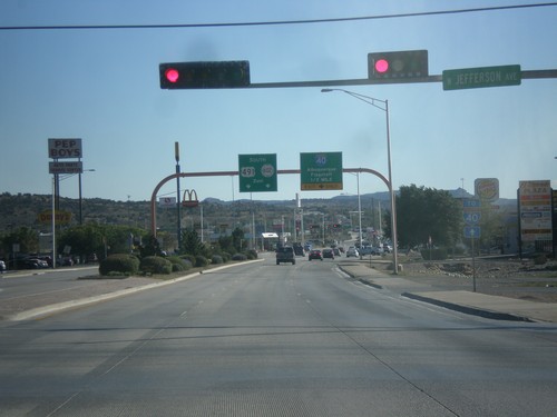
US-491 South Approaching I-40/NM-602
US-491 south approaching I-40 to Albuquerque and Flagstaff (Arizona). US-491 ends at I-40, and turns into NM-602 towards Zuni.
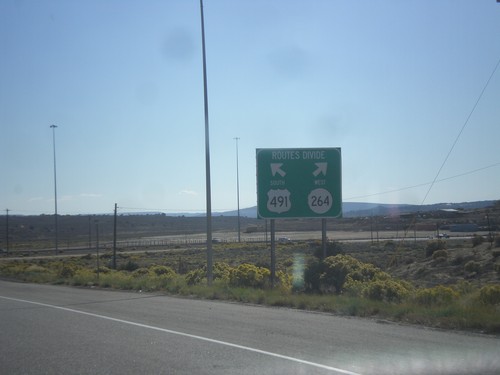
US-491 South at NM-264
US-491 south at NM-264. Use left lane for US-491 south; right lane for NM-264 west.
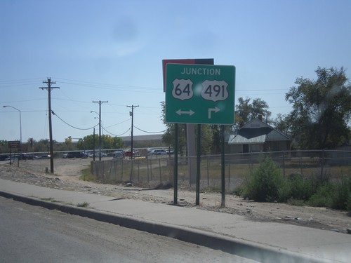
US-491 South Approaching US-64
US-491 south approaching US-64. Turn right for US-64 West/US-491 south; left for US-64 east.
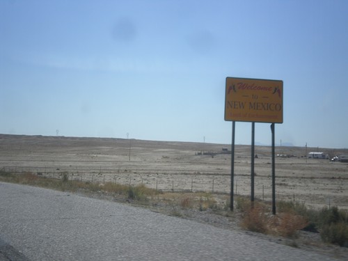
US-491 South - Welcome To New Mexico
Welcome To New Mexico - Land of Enchantment on US-491 south. Taken at the Colorado - New Mexico state line.
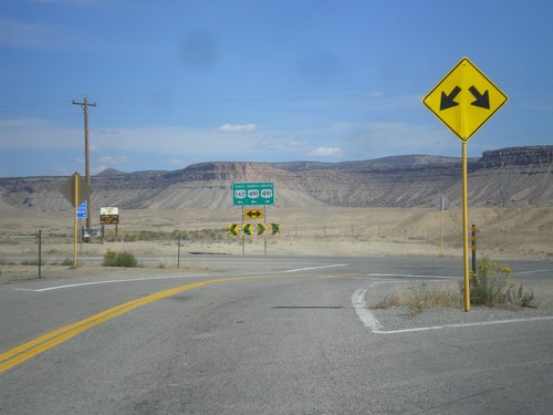
US-160 East at US-491
US-160 east at US-491. Turn left to continue east on US-160. US-160 joins US-491 east to Cortez.
US-160 East at US-491
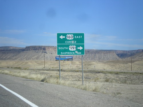
US-160 east at US-491. Turn right for US-491 south to Shiprock, New Mexico. Turn left for US-491 north and US-160 east to Cortez. US-160 joins US-491 north to Cortez.
End CO-41 East at US-160
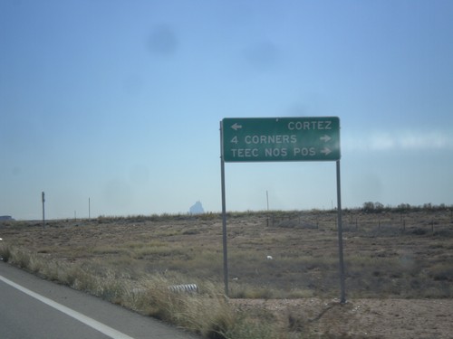
End CO-41 at US-160. Turn right on US-160 west for 4 Corners, and Teec Nos Pos (Arizona). Turn left for Cortez.
UT-162 East - Montezuma Creek
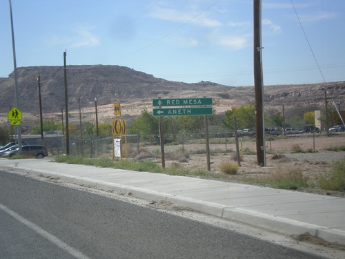
UT-162 east at Red Mesa Road in Montezuma Creek. Continue straight for Red Mesa; turn left to continue east on UT-162 to Aneth.
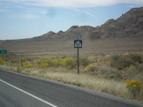
End UT-262 at UT-162
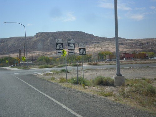
End UT-262 at UT-162. Turn right for UT-162 west; continue ahead for UT-162 east.
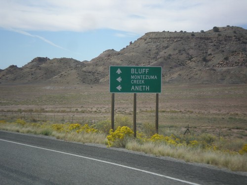
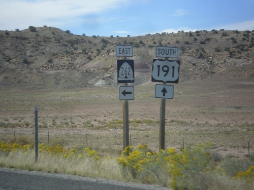
US-191 South Approaching UT-262
US-191 south approaching UT-262 west. Use UT-262 west for Montezuma Creek and Aneth. Continue south on US-191 for Bluff.
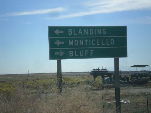
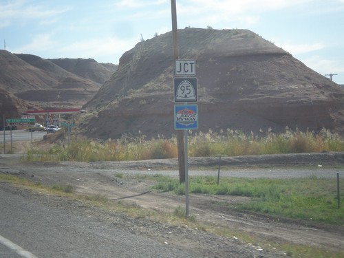
End UT-95 East at US-191
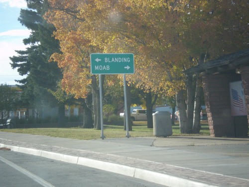
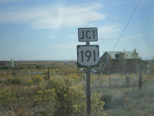
End UT-95 East at US-191. Turn right for Bluff; left for Blanding and Monticello.
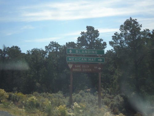
UT-95 West at UT-261
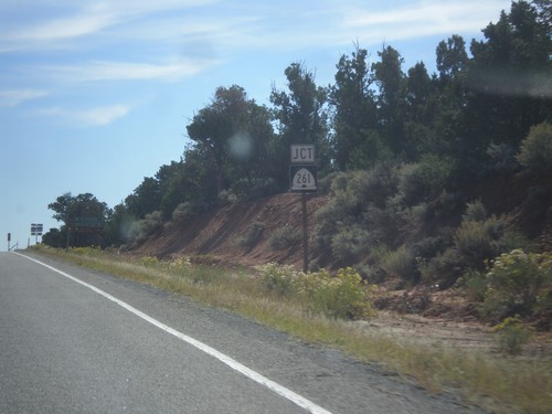
UT-95 east at UT-261. Turn right for Mexican Hat; continue east towards Blanding.
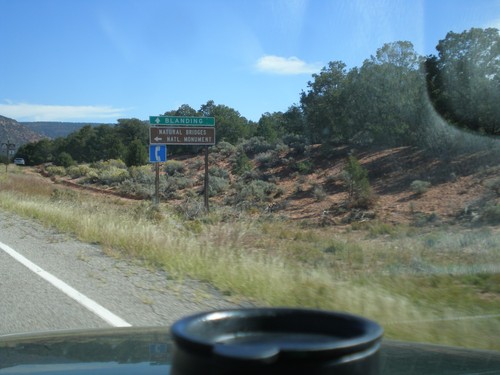
UT-95 East Approaching UT-275
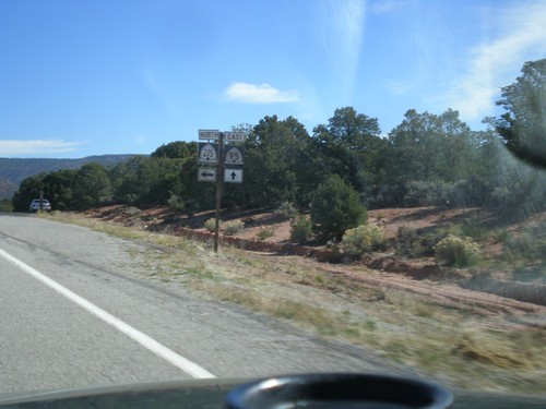
UT-95 East Approaching UT-275 north to Natural Bridges National Monument. Continue east on UT-95 for Blanding.
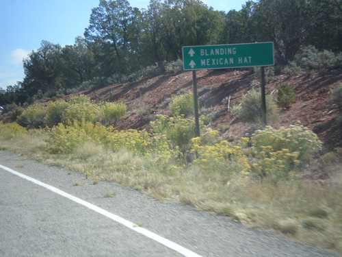
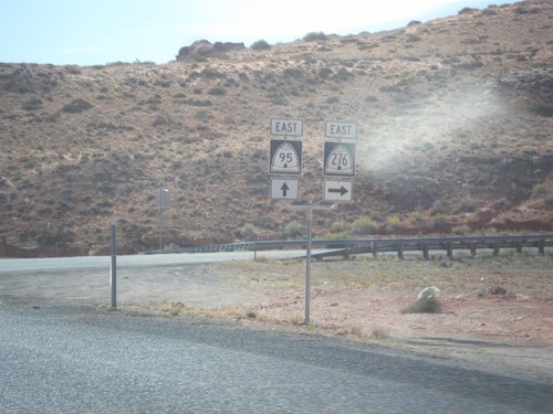
UT-95 East Approaching UT-276
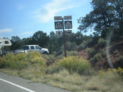
UT-95 East approaching UT-276. Continue east on UT-95 for Mexican Hat and Blanding.
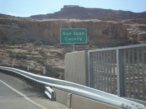
UT-95 East - San Juan County
Entering San Juan County on UT-95 east, crossing the Colorado River. This is the backwaters of Lake Powell, near Hite Marina.
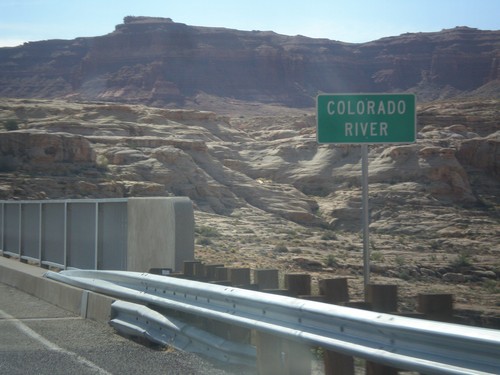
UT-95 East - Colorado River
Colorado River crossing on UT-95 east. This is the backwaters of Lake Powell.
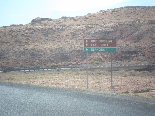
UT-95 East Approaching UT-276
UT-95 east approaching UT-276. Continue east on UT-275 for Hite Crossing, Lake Powell, and Blanding. Lake Powell can also be accessed via UT-276, and can be crossed via ferry.
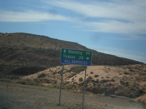
UT-95 East Approaching UT-276
UT-95 east approaching UT-276. Turn right on UT-276 for Ticaboo; continue ahead on UT-95 for Blanding.
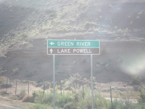
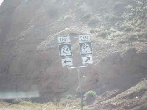
UT-24 East at UT-95
UT-24 east at UT-95. Turn left to continue east on UT-24 towards Green River. Continue ahead for UT-95 east towards Lake Powell.
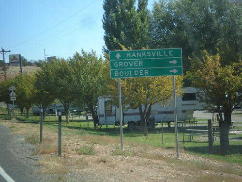
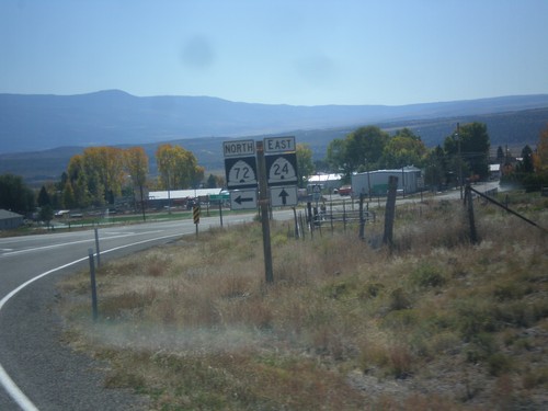
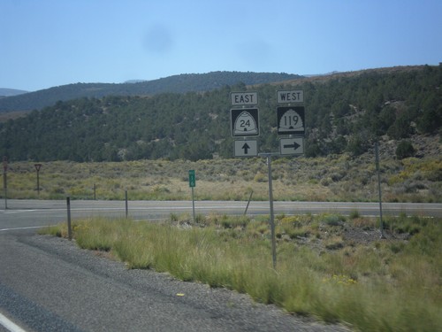
UT-24 East at UT-12
UT-24 east at UT-12 west to Grover and Boulder. Continue east on UT-24 to Hanksville.
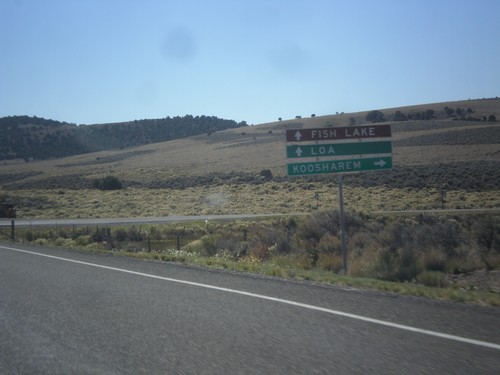
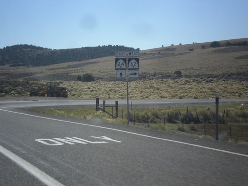
UT-24 East at UT-62 West
UT-24 east at UT-62 west to Koosharem. Continue east on UT-24 for Fish Lake and Loa.
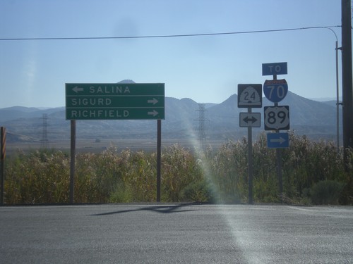
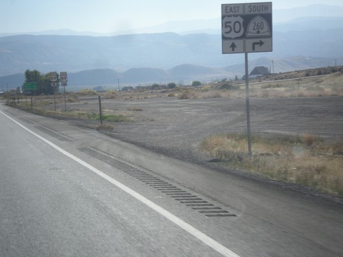
End UT-260 at UT-24
End UT-260 at UT-24. Turn right on UT-24 east for Sigurd and Richfield, and for access to I-70 and US-89. Turn left on UT-24 for Salina.
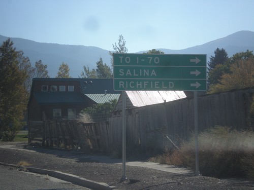
US-50 East in Scipio
US-50 east in Scipio. To continue on US-50 traffic turns right on State St. Turn right for I-70, Salina, and Richfield. US-50 provides shorter access for southbound I-15 traffic to I-70, then continuing on I-15 to I-70 jct.
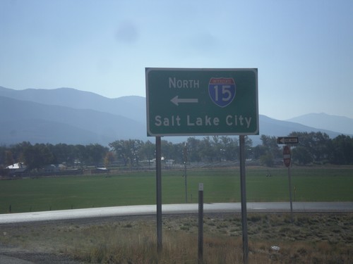
US-50 East at I-15 North
US-50 east at I-15 north to Salt Lake City. US-50 joins I-15 south to Holden.
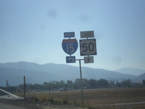
US-50 East at I-15 North
US-50 east at I-15 north. Notice the word UTAH in the I-15 shield. On this trip I noticed the word UTAH in signs in the Provo area, in addition to this shield. Before this I have never seen a Utah interstate shield containing the state name.
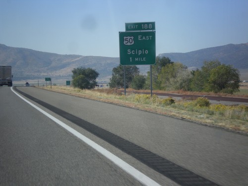
I-15 South Approaching Exit 188
I-15 south approaching Exit 188 - US-50 East/Scipio. US-50 joins I-15 south from Scipio to Holden.
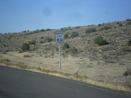
I-15 South - Speed Limit 80
Speed Limit 80 on I-15 south. Utah raised speed limits on sections of I-15 in 2008, and in 2012 decided to make these test sections permanent. Texas is the only other state with speed limits this high.
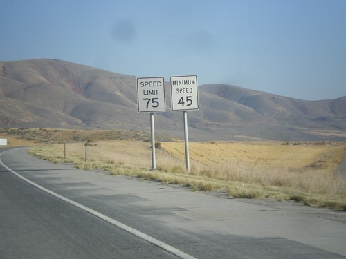
I-84 East - Speed Limit 75/Minimum Speed 45
Speed Limit 75/Minimum Speed 45 on I-84 east. Minimum speeds are not posted with every speed sign on Utah freeways, but are placed sporadically. A typical speed limit installation just contains the maximum speed.
