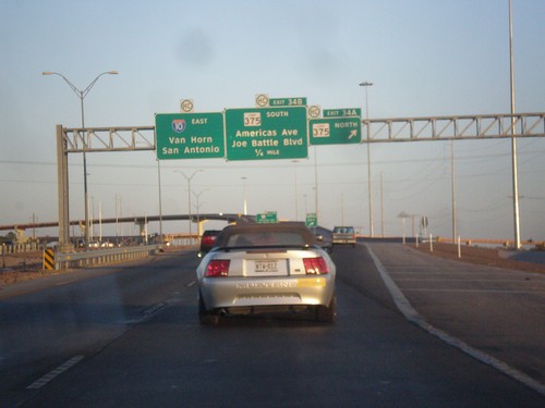
Signs From April 2013
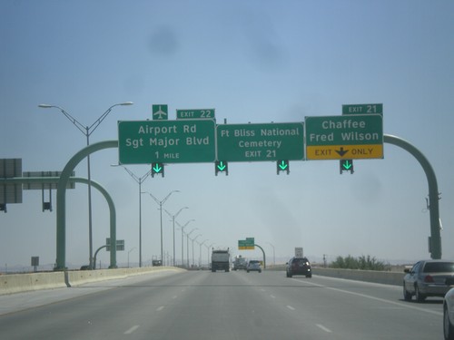
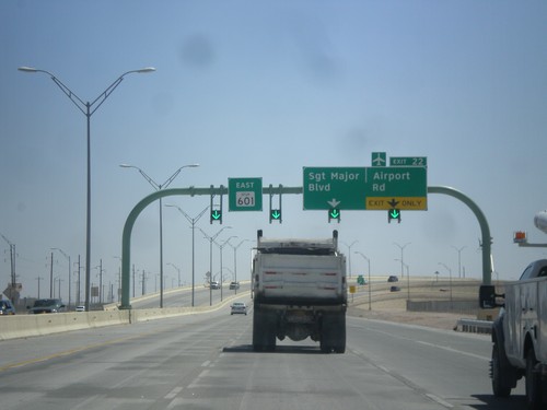
TX-601 Spur East Approaching Exits 21 and 22
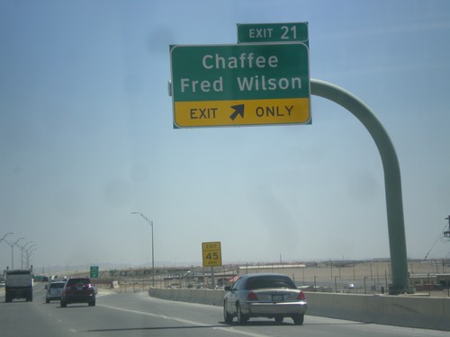
TX-601 Spur east approaching Exit 21 - Chaffee/Fred Wilson and Exit 22 - Airport Road/Sargent Major Blvd. Use Exit 21 for Fort Bliss National Cemetery.
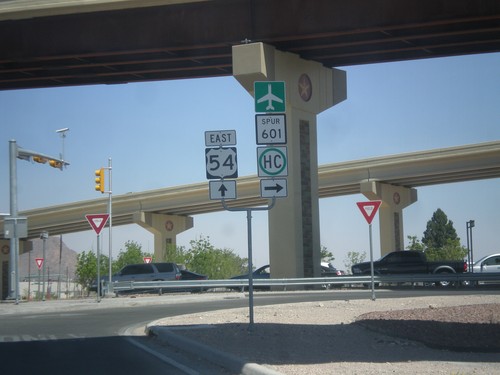
US-54 North at TX-601 Spur
US-54 north at TX-601 Spur onramp. There is a freeway to freeway connection between US-54 and TX-601, but the author took the ramp from US-54 to a surface street which turns into TX-601.
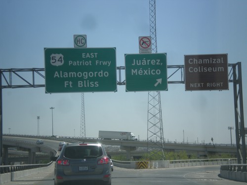
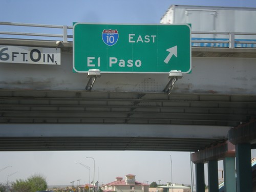
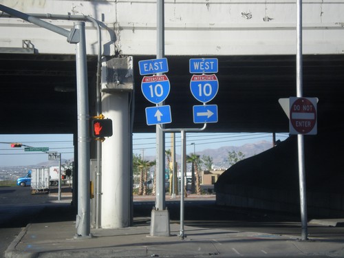
I-10 East - I-110/US-54 Jct.
I-10 east at I-110/US-54 ramps. Use left lane for US-54 East/Alamogordo/Ft. Bliss; use right lane for (I-110 South/US-54 West)Juarez Mexico. Notice that firearms are prohibited in Mexico.
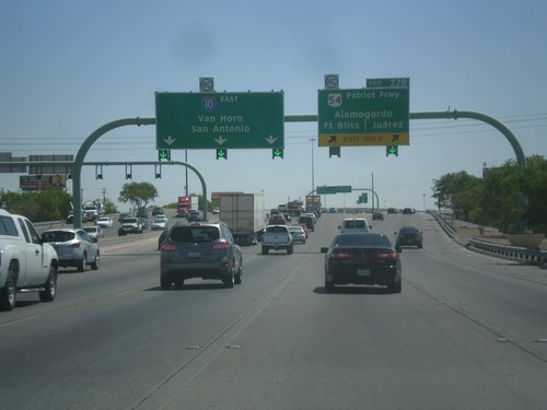
I-10 East - Exit 22B
I-10 east at Exit 22B - US-54/Patriot Freeway/Alamogordo (NM)/Fort Bliss/Juarez (Mexico). Continue east on I-10 for San Antonio and Van Horn.
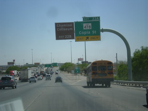
I-10 East - Exit 22A
I-10 East at Exit 22A - TX-478 Loop/Copia St. For the Chamizal Coliseum use Exit 22B (I-110).
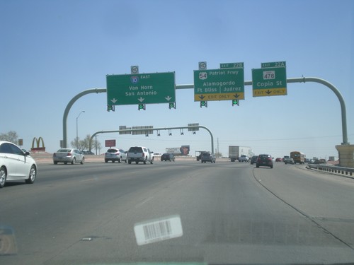
I-10 East - Exits 22A and 22B
I-10 east at Exit 22A - TX-478 Loop/Copia St. Approaching Exit 22B - US-54/Alamogordo (NM)/Fort Bliss/Juarez (Mexico). Continue east on I-10 for San Antonio and Van Horn.
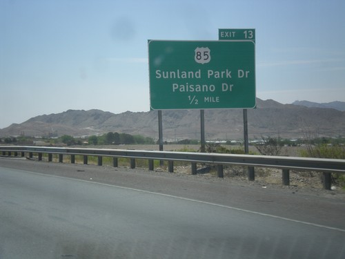
I-10 East Approaching Exit 12
I-10 east approaching Exit 12 - US-85/Sunland Park Drive/Paisano Drive.
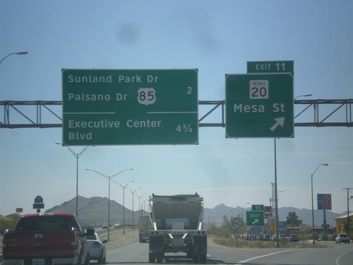
I-10 East - Exit 11
I-10 east at Exit 11 - TX-20/Mesa St. Next exits are - US-85/Sunland Park Drive/Paisano Drive and Executive Center Blvd.
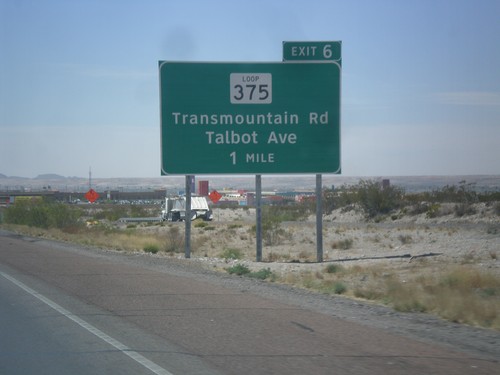
I-10 East Approaching Exit 6
I-10 east approaching Exit 6 - TX-375 Loop/Talbot Ave/Transmountain Road. This is the the northwestern end of the TX-375 Loop, which crosses the Franklin Mountains, and loops around Fort Bliss, before turning into the Border Freeway.
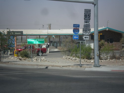
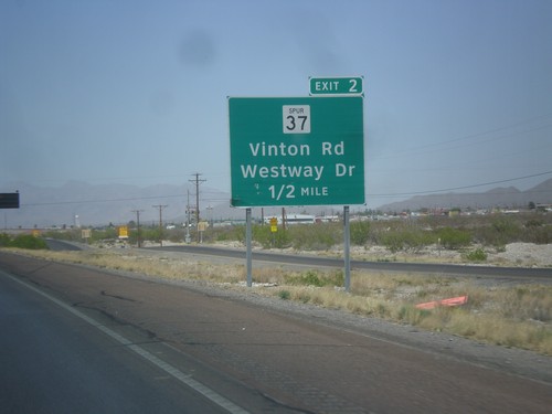
TX-37 Spur West at I-10 Onramp
TX-37 Spur West at I-10/US-180 East/US-85 South. This is the onramp for Exit 2 on I-10. In the background of the photo is the city limit sign for the Village of Vinton.
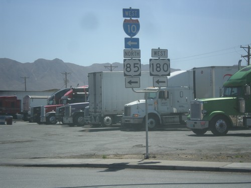
TX-37 Spur East at I-10 West
TX-37 Spur east at I-10/US-180 West/US-85 North. This is the onramp for I-10 Exit 2.
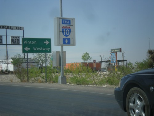
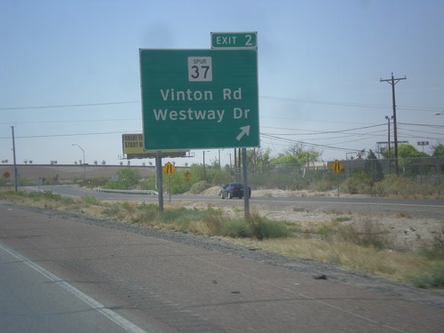
I-10 East at TX-37 Spur
I-10 East, Exit 2 offramp at TX-37 Spur. Turn left on TX-37 Spur for Westway; turn right on TX-37 Spur for Vinton. Continue ahead for I-10.
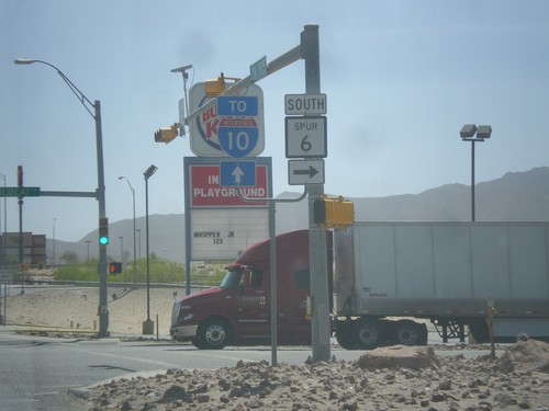
FM-1905 East at TX-6 Spur
FM-1905 east at TX-6 Spur. Turn right for TX-6 Spur, continue ahead on FM-1905 for I-10.
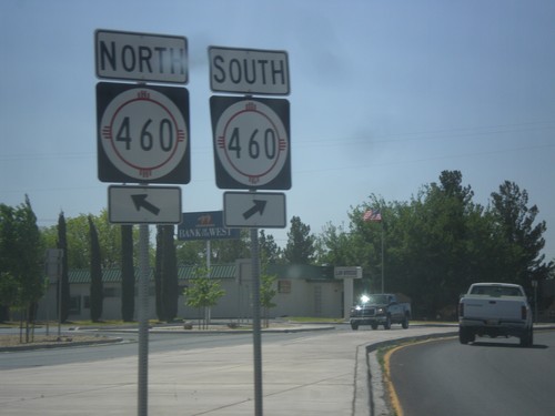
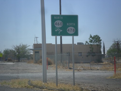
NM-460/NM-478 Roundabout
Roundabout at NM-460/NM-478 junction. Merge right to continue south on NM-460; continue through roundabout for NM-460 north.
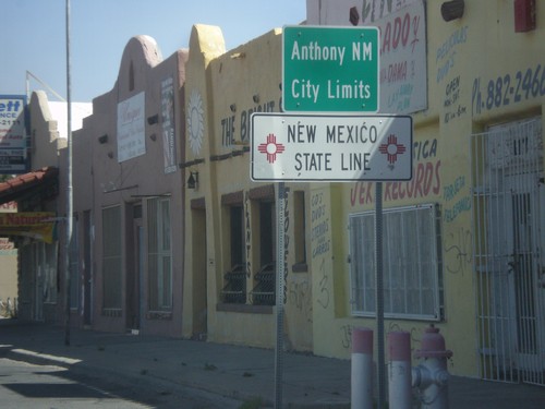
NM-460 North - New Mexico State Line
New Mexico State Line and Anthony, NM city limits on NM-460 north. Taken at the Texas-New Mexico state line on the border between Anthony, NM and Anthony, TX.
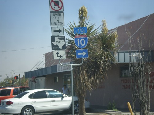
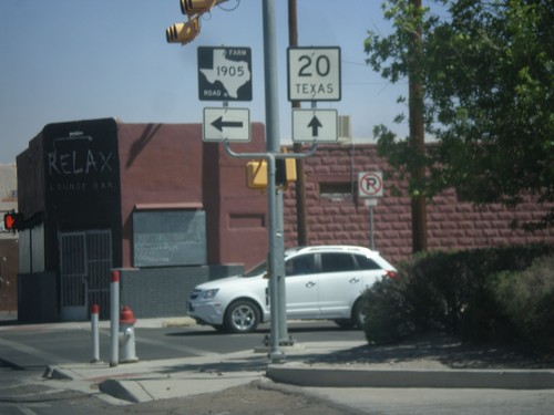
TX-20 West at FM-1905
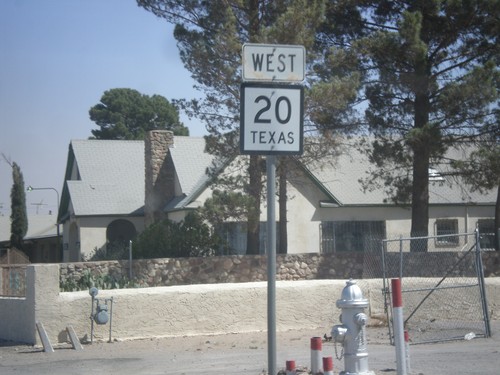
TX-20 west at FM-1905 junction. FM-1905 joins TX-20 west for a few blocks through Anthony. Use FM-1905 east for I-10.
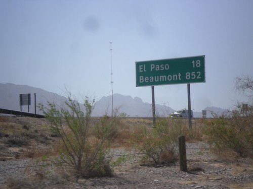
I-10 East - Distance Marker
First distance marker along I-10 east in Texas. Distance to El Paso and Beaumont. Beaumont is at the opposite side of Texas on the Louisiana state line - 852 miles away.
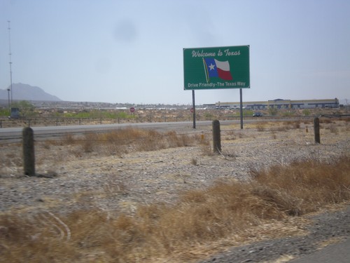
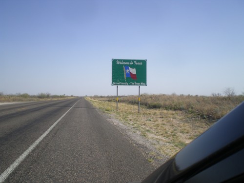
I-10 East - Welcome To Texas
Welcome to Texas on I-10 east. Taken about 1 mile east of the Texas/New Mexico State Line.
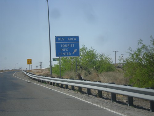
I-10 East - Rest Area and Welcome Center
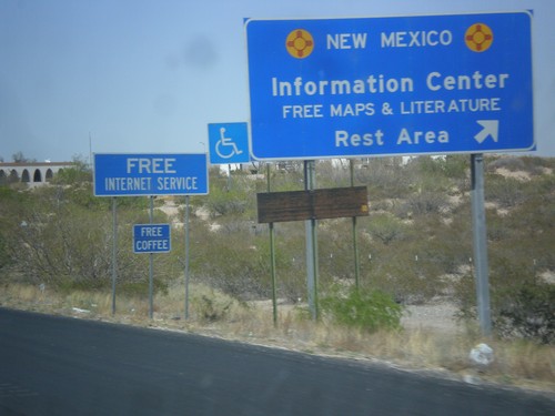
I-10 east at Rest Area/Tourist Welcome Center just east of the New Mexico/Texas State Line.
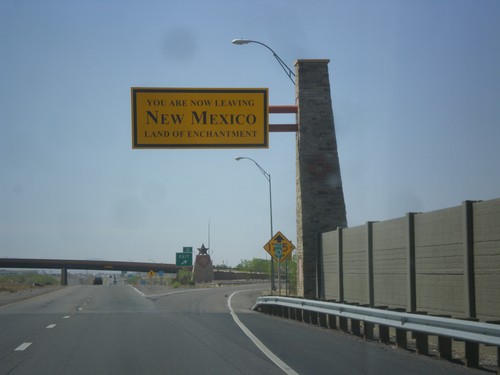
I-10 East - Leaving New Mexico
Leaving New Mexico - Land of Enchantment on I-10 east. Taken at the Texas - New Mexico state line.
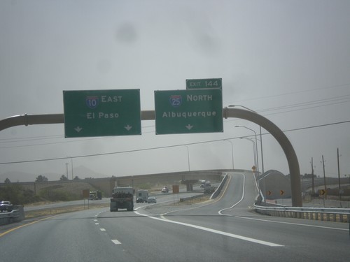
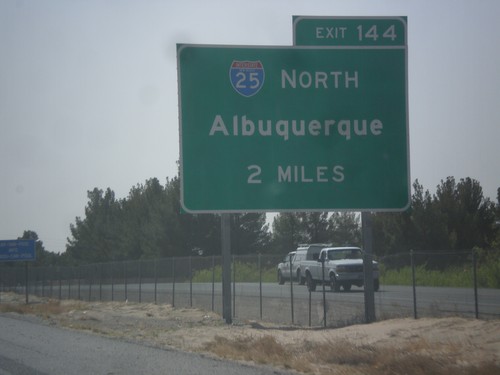
I-10 East - Exit 144
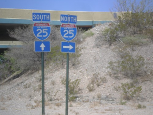
I-10 east at Exit 144 - I-25 North/Albuquerque. This is the southern end of I-25. I-10 continues east towards El Paso.
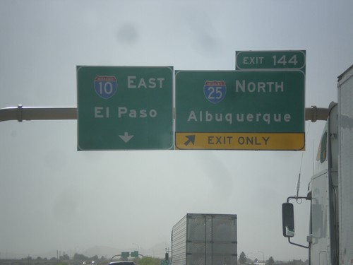
I-10 East Approaching Exit 144
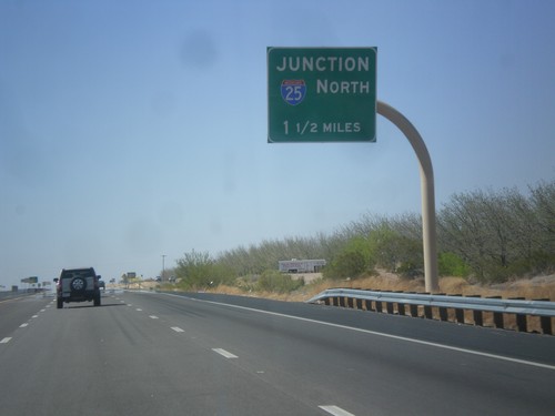
I-10 east approaching Exit 144 - I-25 North/Albuquerque. I-10 continues east towards El Paso.
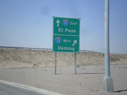
NM-28 South at I-10
NM-28 south at I-10 (Exit 140). Merge right for I-10 west to Deming; continue under freeway for I-10 east to El Paso.
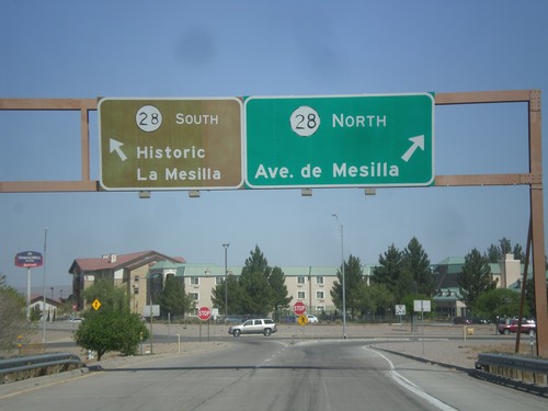
I-10 West Offramp at NM-28
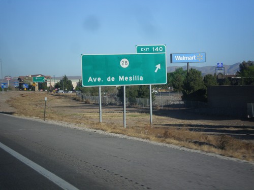
I-10 west offramp (Exit 140) at NM-28. Turn right for NM-28 North and Ave. de Mesilla. Turn left for NM-28 south towards Historic La Mesilla.
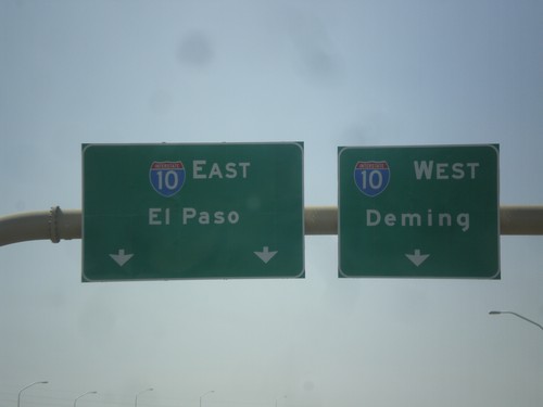
End I-25 South at I-10
End I-25 south at I-10. Merge right for I-10 west to Deming; merge left for I-10 east to El Paso.
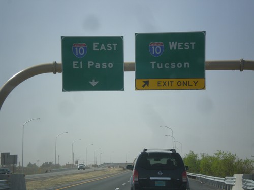
I-25 South Approaching I-10
I-25 south approaching I-10 jct. Use right lanes for I-10 west to Tucson; left lanes for I-10 east to El Paso.
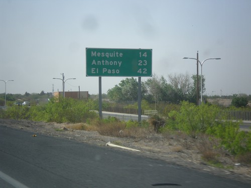
I-25 South - Distance Marker
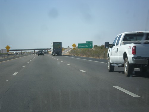
Distance marker on I-25 south. Distance to Mesquite, Anthony, and El Paso. All of these locales are accessed via I-10 east.
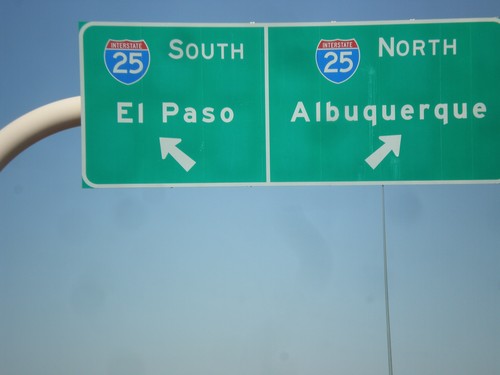
US-70 West/I-25 Junction
US-70 west to I-25 ramp. Use left lane for I-25 south to El Paso; use right lane for I-25 north to Albuquerque.
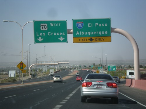
US-70 West at I-25
US-70 west at I-25 to Albuquerque and El Paso. Continue west on US-70 towards Las Cruces.
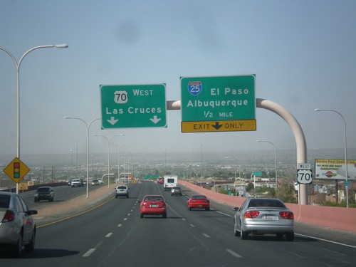
US-70 West Approaching I-25
US-70 west approaching I-25 to El Paso and Albuquerque. Continue west on US-70 for Las Cruces.
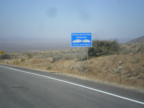
US-70 West - Entering Lower Rio Grande Watershed
Entering the Rio Grande Watershed on US-70 west. The Rio Grande flows into the Gulf of Mexico.
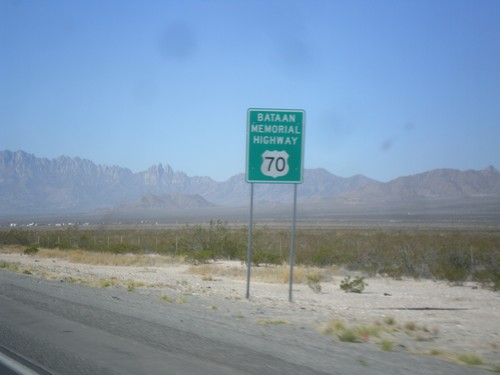
US-70 West - Bataan Memorial Highway
US-70 west - Bataan Memorial Highway. US-70 between Las Cruces and Alamogordo is designated as the Bataan Memorial Highway.
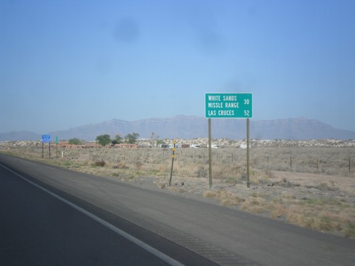
US-70 West - Distance Marker
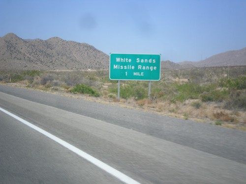
Distance marker on US-70 west. Distance to White Sands Missile Range and Las Cruces.
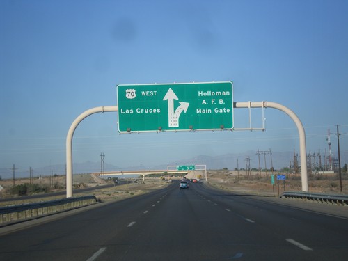
US-70 West - Holloman AFB Main Gate IC
US-70 west approaching Holloman AFB Main Gate interchange. US-70 continues west towards Las Cruces.
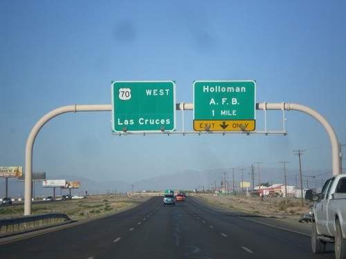
US-70 West - Holloman AFB IC
US-70 west approaching Holloman AFB Main Gate interchange. US-70 continues west towards Las Cruces.
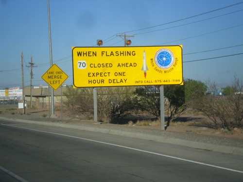
US-70 West - White Sands Missile Range Warning
Warning on US-70 west leaving Alamogordo: When flashing US-70 closed ahead. Expect one hour delay.
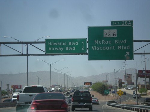
I-10 West - Exit 28A
I-10 west at Exit 28A - FM-2316/McRae Blvd./Viscount Blvd. Approaching Hawkins Blvd. and Airways Blvd.
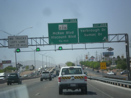
I-10 West - Exits 28B and 28A
I-10 west at Exit 28B - Yarbrough Drive/Sumac Drive. Approaching Exit 28A - FM-2316/McRae Blvd./Viscount Blvd.
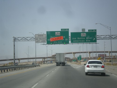
I-10 West - Exits 34 and 32
I-10 west at Exit 34 - Loop 375/Joe Battle Blvd./Americas Ave. Exit 34 is currently closed due to construction.
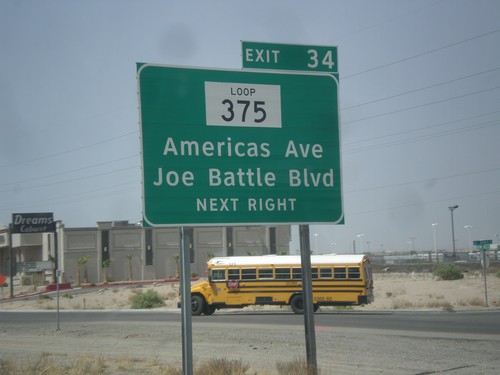
I-10 West - Exit 34
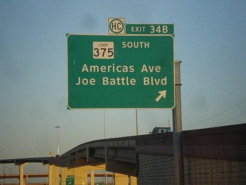
I-10 west approaching Exit 34 - TX-375 Loop/Americas Ave./Joe Battle Blvd. This is the eastern edge of TX-375 Loop which encircles the city of El Paso.
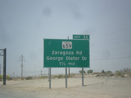
I-10 West Approaching Exit 34
I-10 west approaching Exit 34 - FM-659/Zaragoza road/George Dieter Drive. The FM-659 shield is incorrectly signed as TX-659. Zaragoza Road connects I-10 to the Zaragoza International Bridge into Mexico.
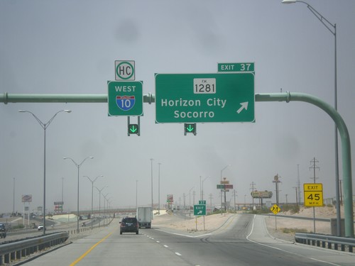
I-10 West - Exit 37
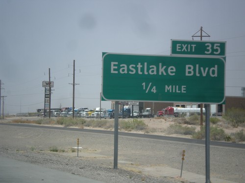
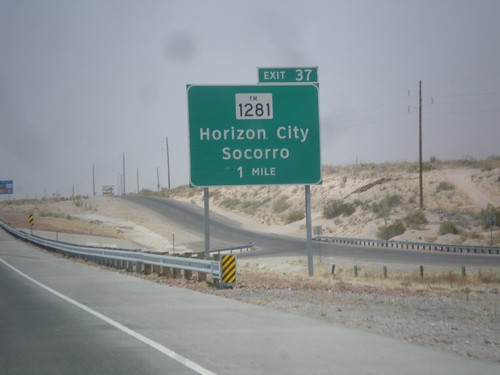
I-10 west approaching Exit 37 - FM-1281/Horizon City/Socorro. I-10 continues west.
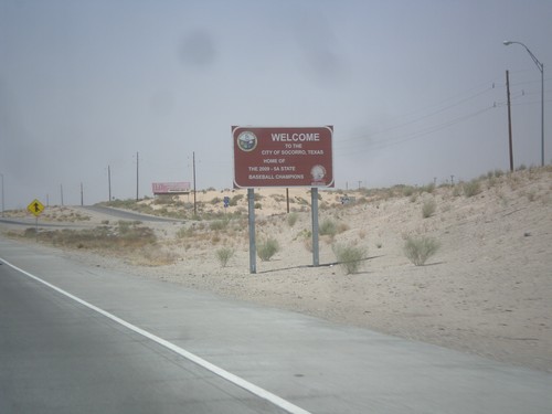
I-10 West - Entering Socorro
Entering Socorro, Texas on I-10 west. This is a non-standard city limit sign, which is brown and contains the city logo. Socorro is an eastern suburb of El Paso.
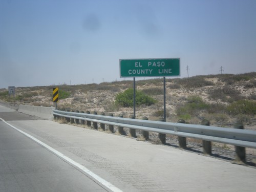
I-10 West - El Paso County Line
El Paso County Line on I-10 west. The speed limit on I-10 drops from 80 MPH, to 75 MPH at the county line. A 75 MPH speed limit sign can be seen in the background.
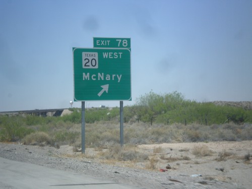
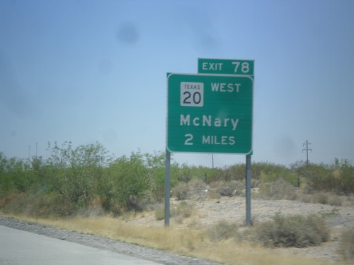
I-10 West - Exit 78
I-10 west at Exit 78 - TX-20/McNary. TX-20 runs between the Rio Grande and I-10 between here and El Paso. Views of the Rio Grande and Mexico can be seen south of the highway through through this area.
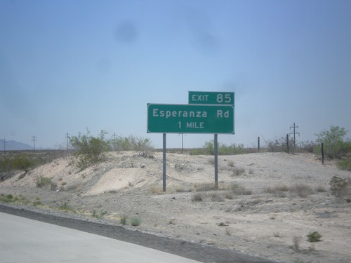
I-10 West - Exit 85
I-10 West at Exit 85 - Esperanza Road. I-10 enters the Rio Grande Valley near here. I-10 parallels the Rio Grande from here to Las Cruces, NM.
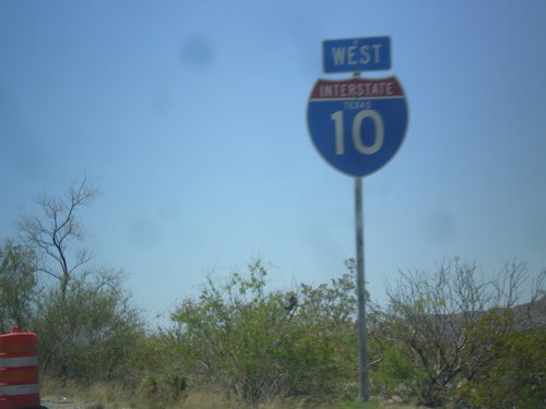
I-10 West - Texas
I-10 west with the word Texas in the shield. The only I-10 shields with the state name I saw were in Hudspeth County.
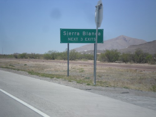
I-10 West - Sierra Blanca Exits
Sierra Blanca - Next 3 Exits on I-10 west, approaching Sierra Blanca, TX.
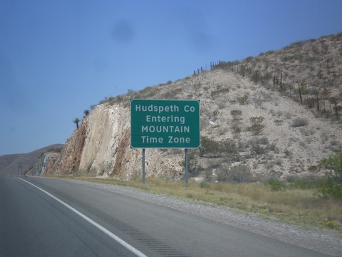
I-10 West - Hudspeth County/Mountain Time
Entering Hudspeth County and Mountain Time Zone on I-10 west.
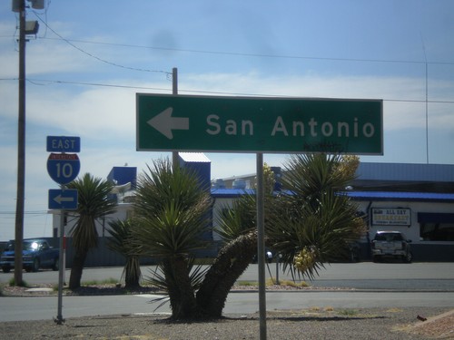
Golf Course Dr. at I-10 East
Golf Course Drive at I-10 east to San Antonio. This is the western end of the Van Horn business loop.
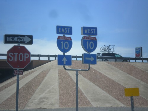
BL-10 West at I-10
BL-10 west (Golf Course Dr.) at I-10. Turn right for I-10 west, continue ahead and go under freeway for I-10 east.
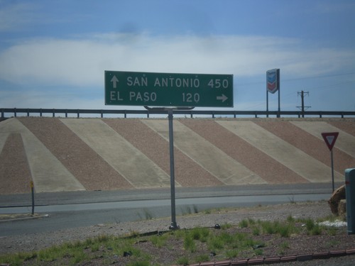
BL-10 (Golf Course Dr.) at I-10
BL-10 (Golf Course Dr.) at I-10. Turn right for I-10 west to El Paso; left for I-10 east to San Antonio.
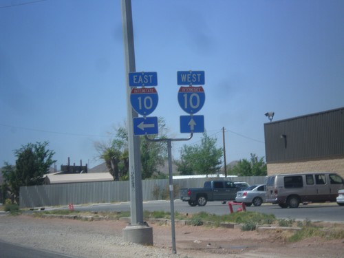
BL-10 West at I-10
BL-10 west at I-10 jct. Turn left for I-10 east; continue straight ahead for I-10 west.
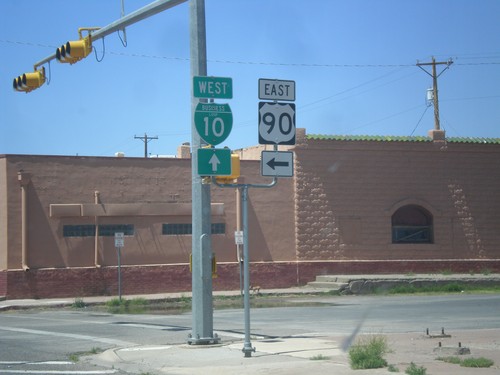
BL-10 West/TX-54 South - Van Horn
BL-10 West/TX-54 south (Broadway) at Van Horn St. Turn left for TX-54 south (to) US-90 east. This is the western terminus of US-90.
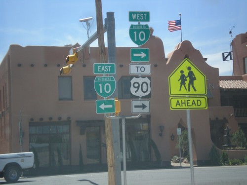
TX-54 South at BL-10
TX-54 south at BL-10/To US-90. Turn left for BL-10 West, turn right for BL-10 East/TX-54 South, to US-90.
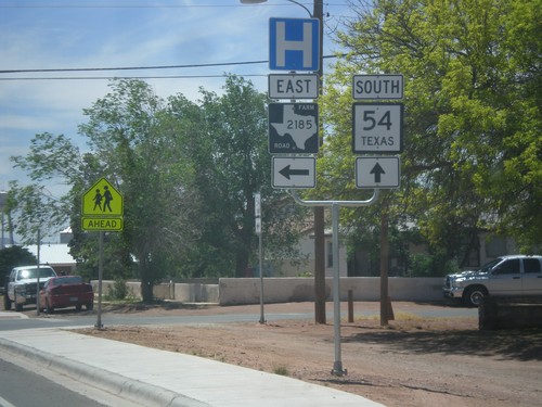
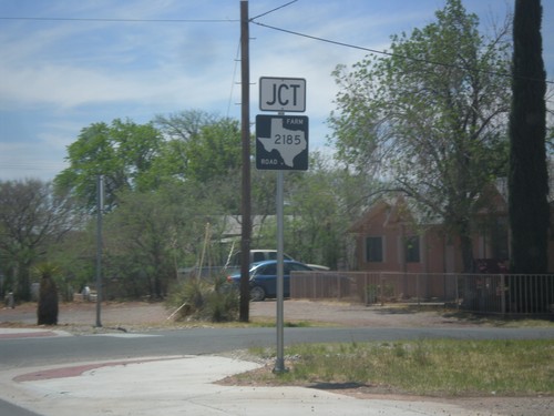
TX-54 South at FM-2185 East
TX-54 south at FM-2185 east. Use FM-2185 east for the Culberson County Hospital.
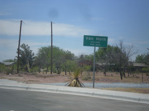
TX-54 South - Van Horn City Limit
Van Horn City Limit - Pop. 2500. Taken on TX-54 south. Van Horn is the county seat of Culberson County.
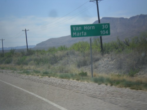
TX-54 South - Distance Marker
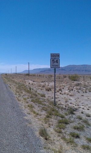
Distance marker on TX-54 south. Distance to Van Horn and Marfa (via US-90).
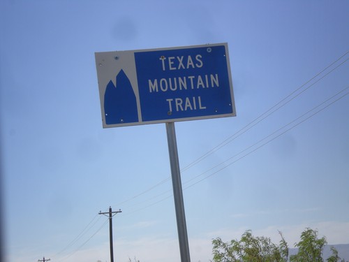
TX-54 South - Texas Mountain Trail
Texas Mountain Trail sign on TX-54 south. This part of Texas is the Texas Mountain Trail region, of the Texas Heritage Trails program.
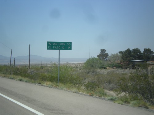
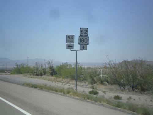
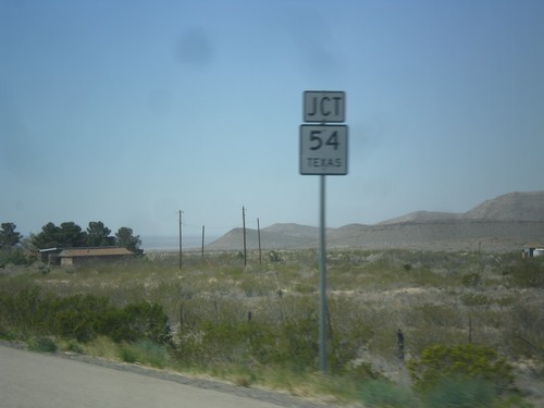
US-62/US-180 West at TX-54
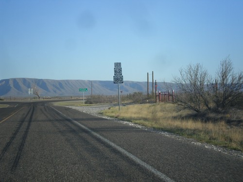
US-62/US-180 west at TX-54 junction. Use TX-54 south for Van Horn; use US-62/US-180 west for El Paso.
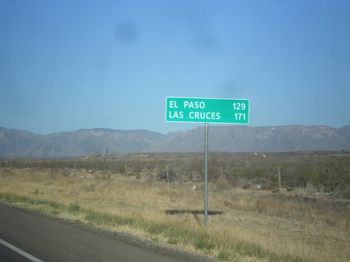
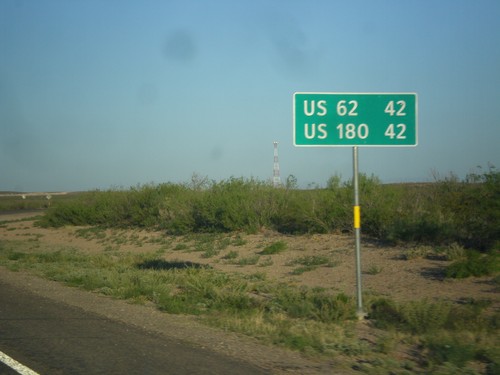
US-62/US-180 West - Distance Marker
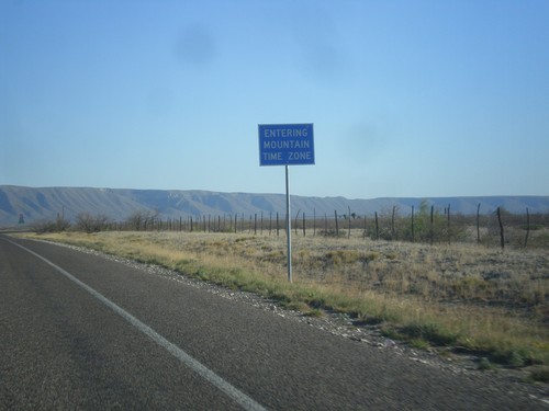
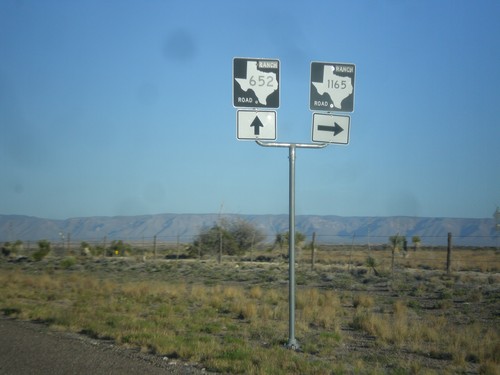
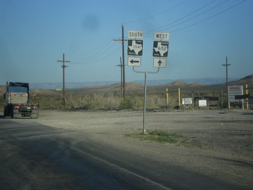
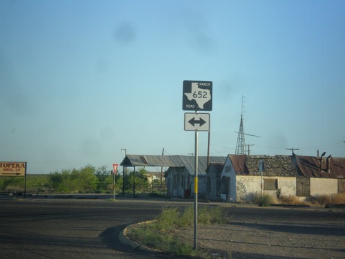
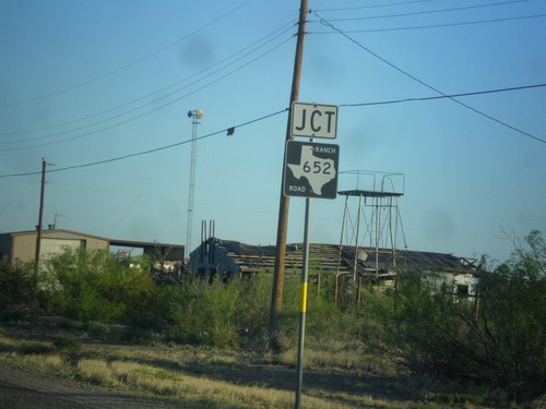
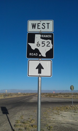
Distance marker on US-62/US-180 west. Distance to El Paso and Las Cruces (NM). Taken just west of RM-652 and the Texas-New Mexico state line.
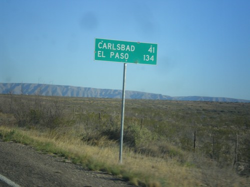
RM-652 West - Distance Marker
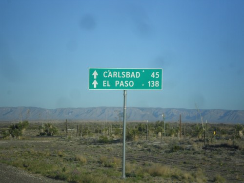
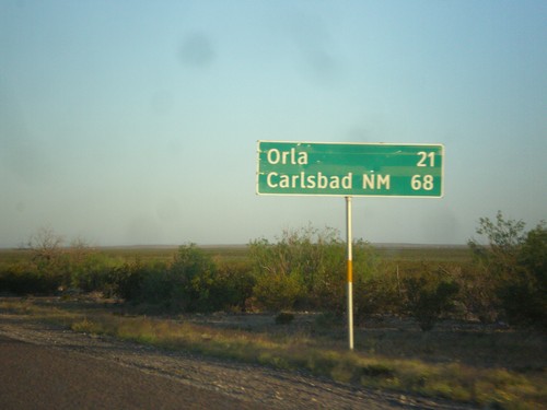
Distance marker on RM-652 west. Distance to Carlsbad (New Mexico) and El Paso.
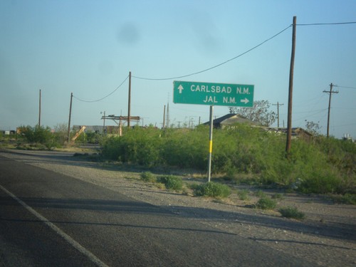
US-285 North at RM-652
US-285 north at RM-652. Turn right for Jal, NM; continue north on US-285 for Carlsbad, NM. Turning left takes you to Guadalupe Mountains National Park.
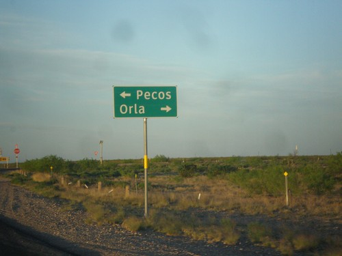
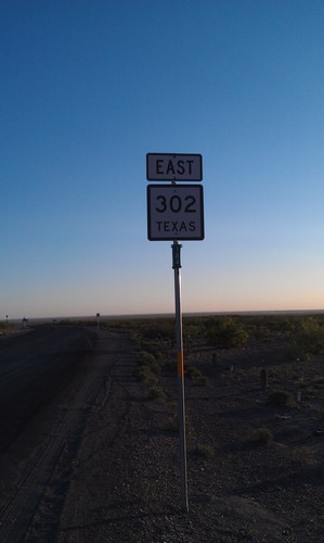
End TX-302 West at US-285
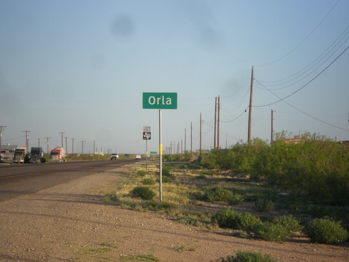
End TX-302 west at US-285. Turn right for US-285 north to Orla; turn left for US-285 south to Pecos.
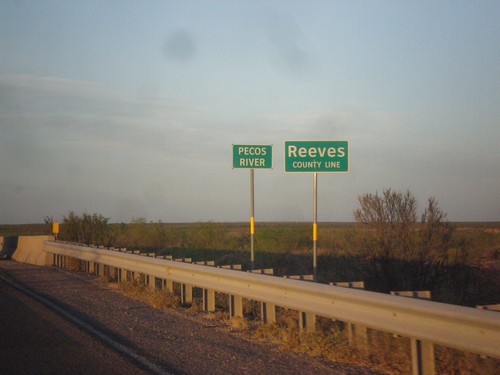
TX-302 West - Reeves County Line
Reeves County Line on TX-302 west, crossing the Pecos River (dry when this photo was taken).
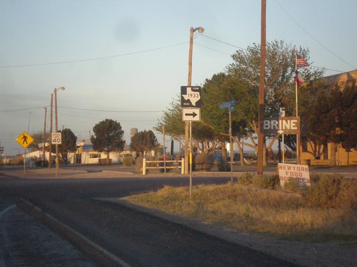
TX-302 West at FM-1933
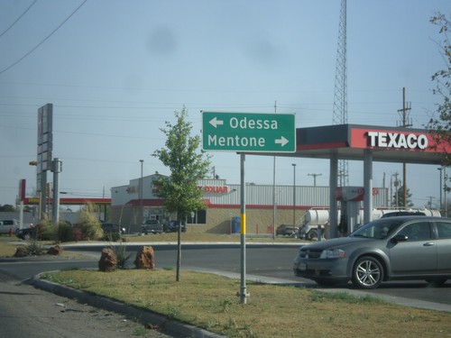
TX-302 west at FM-1933 in Mentone. Mentone is the county seat of the smallest county in the United States, by population.
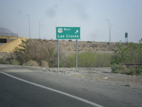
US-70 West/US-54 South at US-70 West
US-54 South/US-70 West (Relief Route) at US-70 West exit to Las Cruces.
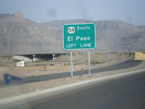
US-54 South/US-70 West - US-70/US-54 Split
US-70/US-54 Split on US-70 West/US-54 South (Alamogordo Relief Route). Use left lanes for US-54 south to El Paso.
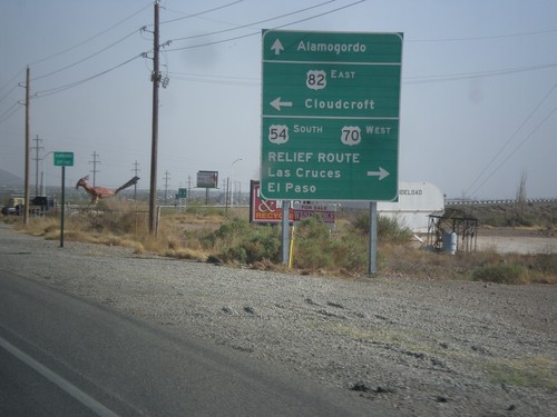
US-54 South/US-70 West at US-82 and Relief Route
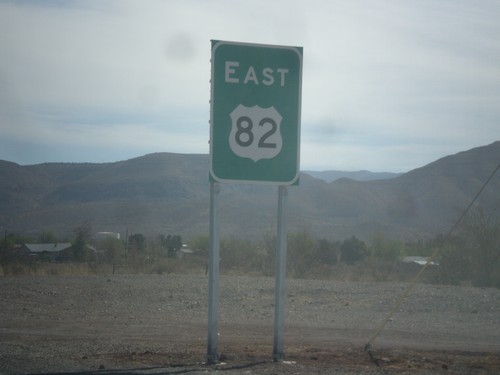
US-54 South/US-70 West at US-82 and Alamogordo Relief Route. Turn left for US-82 east to Cloudcroft. Turn right to continue on US-54 South/US-70 West to Las Cruces and El Paso (Alamogordo Relief Route). Continue straight for White Sands Blvd. and downtown Alamogordo. This is the western end of US-82.
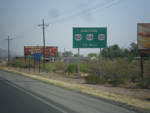
US-54 South/US-70 West Approaching US-82
US-54 South/US-70 West approaching US-82 and Alamogordo Relief Route junction.
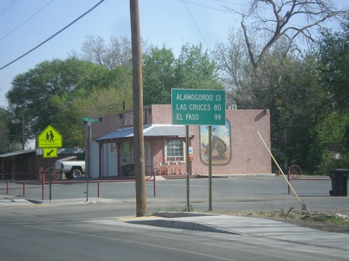
US-70 West/US-54 South - Distance Marker
Distance marker on US-70 West/US-54 South in Tularosa. Distance to Alamogordo, Las Cruces, and El Paso.
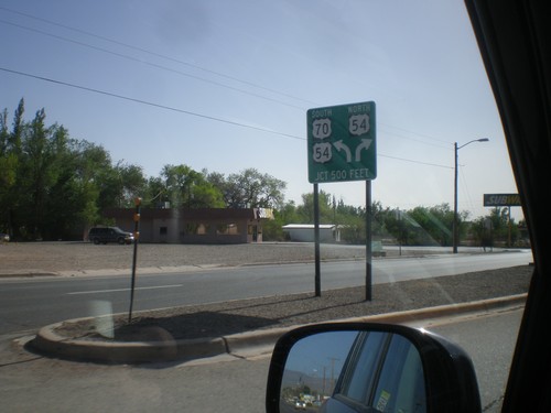
US-70 West Approaching US-54
US-70 west approaching US-54 in Tularosa. US-70 joins US-54 south to Alamogordo.
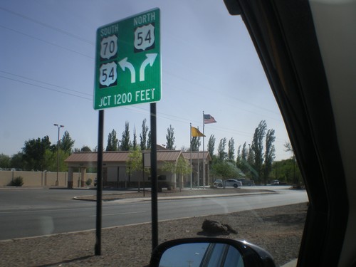
US-70 West Approaching US-54
US-70 west approaching US-54 junction in Tularosa. Merge to continue on US-54/US-70; merge right for US-54 north.
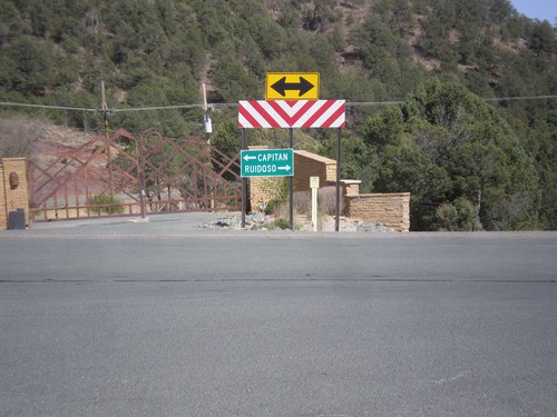
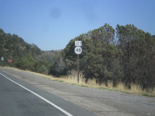
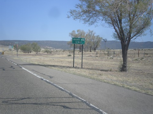
End NM-37 At NM-48
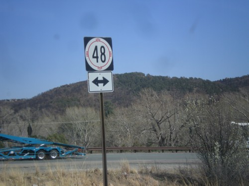
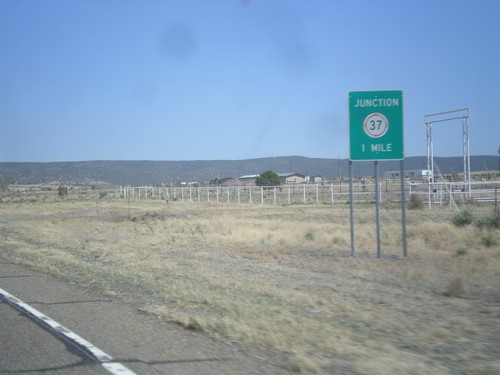
End NM-37 at NM-48. Turn right for NM-48 south to Ruidoso; turn left for NM-48 north to Capitan.
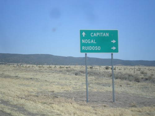
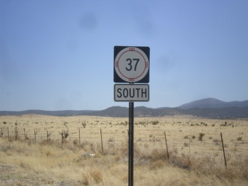
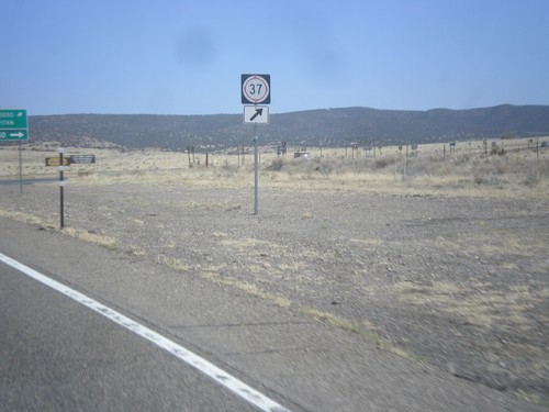
US-380 East at NM-37
US-380 east at NM-37. Use NM-37 south for Nogal and Ruidoso. Continue east on US-380 for Capitan.
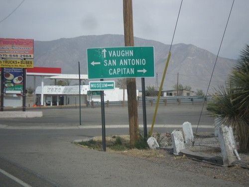
US-54 North at US-380
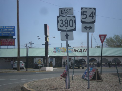
US-54 north at US-380. Turn right for US-380 east to Capitan; left for US-380 west to San Antonio. Continue north for US-54 to Vaughn.
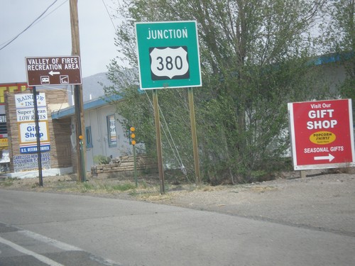
US-54 North Approaching US-380
US-54 north approaching US-380 in Carrizozo. Turn left for Valley of Fires State Recreation Area.
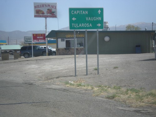
US-380 East at US-54
US-380 east at US-54. Turn right on US-54 south to Tularosa; turn left on US-54 north to Vaughn. Continue straight on US-380 east for Capitan.
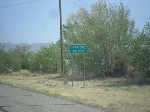
US-380 East - Carrizozo City Limits
Carrizozo City Limits on US-380 east. Carrizozo is the county seat of Lincoln County.
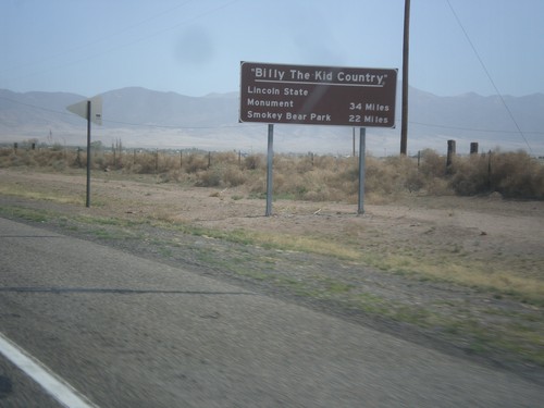
US-380 East - Billy The Kid Country
Billy The Kid Country marker on US-380 east approaching Carrizozo. Distance to Lincoln State Mounument, and Smokey Bear State Park.
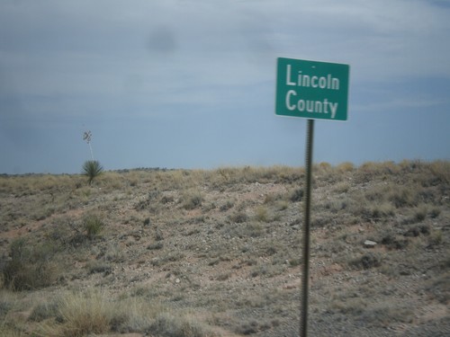
US-380 East - Lincoln County
Entering Lincoln County on US-380 east. Typically New Mexico county line signs have, have the text County Line beneath the county name.
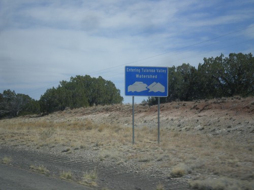
US-380 East - Tularosa Valley Watershed
Entering the Tularosa Valley Watershed on US-380 east. The Tularosa Valley is a closed basin and does not flow to the sea.
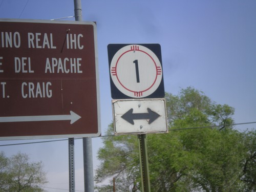
US-380 East at NM-1
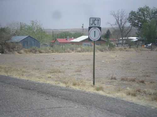
US-380 east at NM-1 junction in San Antonio. NM-1 parallels I-25 between Truth of Consequences and Socorro.
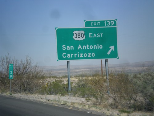
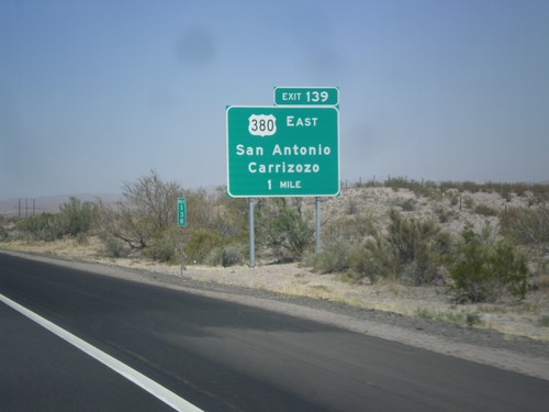
I-25 North - Exit 139
I-25 north at Exit 139 - US-380 East/San Antonio/Carrizozo. This is the western terminus of US-380.
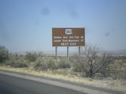
I-25 North Approaching US-380
I-25 north approaching US-380 (Exit 139). Use US-380 east for Smokey Bear Historical Park, and Lincoln State Monument.
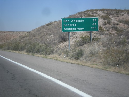
I-25 North - Distance Marker
Distance marker on I-25 north. Distance to San Antonio, Socorro, and Albuquerque.
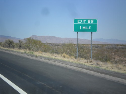
I-25 North - Exit 189
I-25 north approaching Exit 189. This exit does not have any destinations northbound. Southbound Exit 189 is signed: NM-52/NM-181/Cuchillo/Monticello.
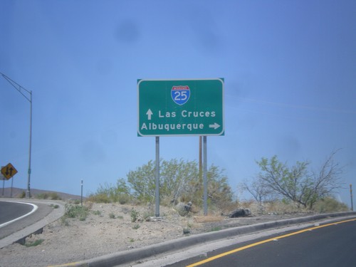
BL-25 North at I-25 Jct.
BL-25 north at I-25 junction. Merge right for I-25 north to Albuquerque; merge left for I-25 south to Las Cruces.
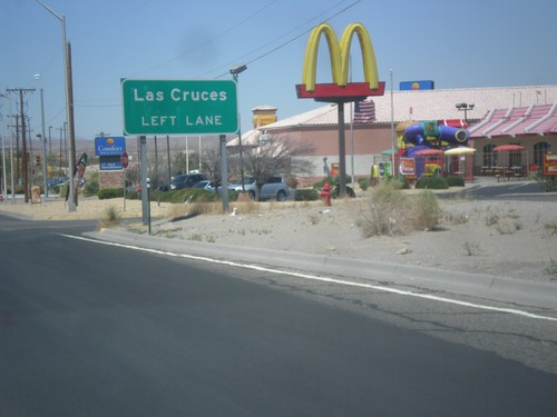
BL-25 North Approaching I-25
BL-25 north approaching I-25. Use left lane for Las Cruces (I-25 south).
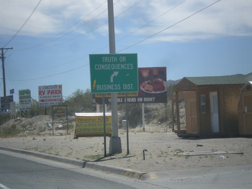
BL-25 South at NM-118
BL-25 south at NM-118. Merge right for BL-25 to Truth or Consequences business district.
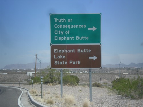
I-25 North at Exit 80 Offramp
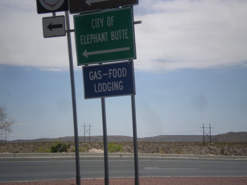
I-25 north at Exit 80 offramp, BL-25 jct. Turn right for Truth or Consequences, City of Elephant Butte, and Elephant Butte State Park.
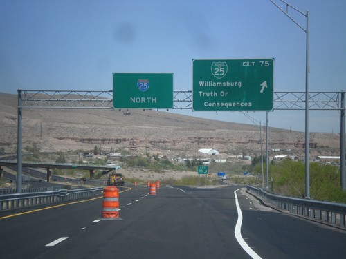
I-25 North - Exit 75
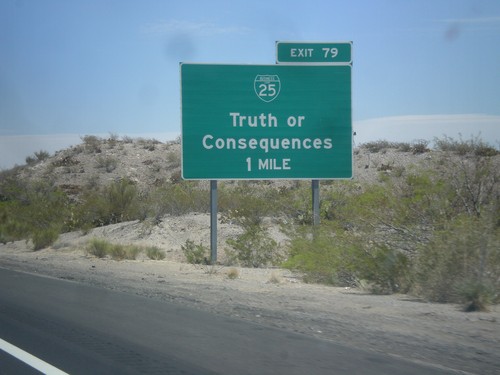
I-25 north at Exit 75 - BL-25/Williamsburg/Truth of Consequences. This is the southern end of the Truth of Consequences business loop.
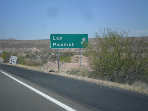
I-25 North - Exit 71
I-25 north at Exit 72 - Los Palomas. The exit number tab is missing from this sign.
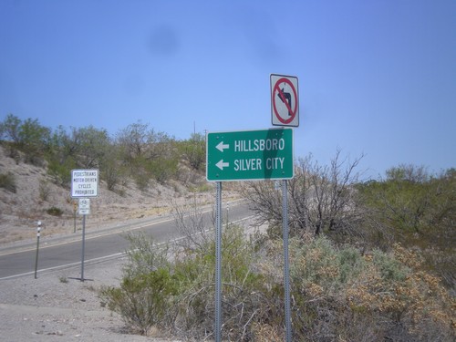
I-25 North Offramp (Exit 63) at NM-152
I-25 North Exit 63 offramp at NM-152. Turn left for NM-152 west to Hillsboro and Silver City.
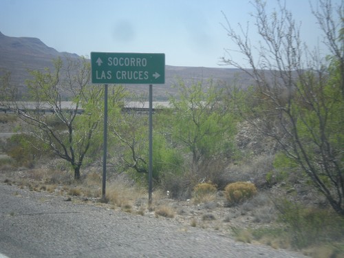
NM-152 East at I-25
NM-152 east at I-25. Turn right for I-25 south to Las Cruces; continue under overpass for I-25 north to Socorro.
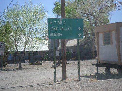
NM-152 East at NM-27
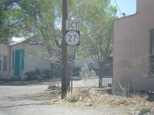
NM-152 east at NM-27 south to Deming and Lake Valley. Continue east on NM-152 for Truth or Consequences (T or C).
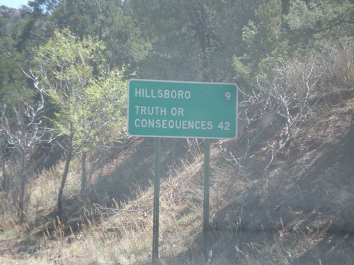
NM-152 East - Distance Marker
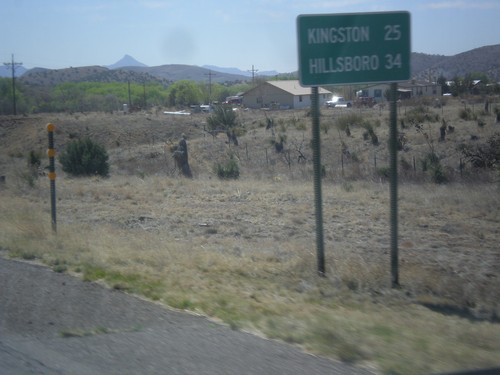
Distance marker on NM-152 east. Distance to Hillsboro and Truth or Consequences.
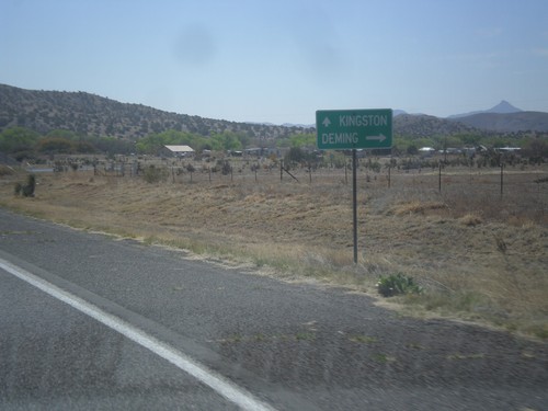
NM-152 East at NM-61 South
NM-152 east at NM-61 south. Turn right for NM-61 south to Deming; continue straight for NM-152 east for Kingston.
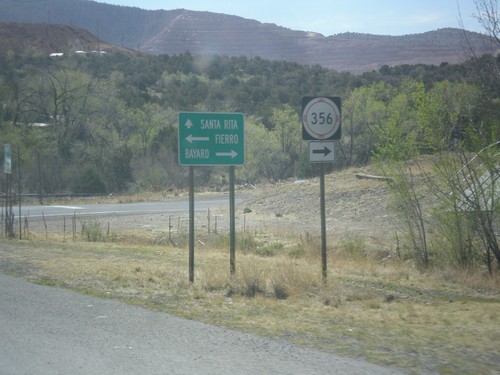
NM-152 East at NM-356
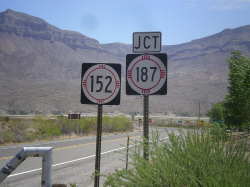
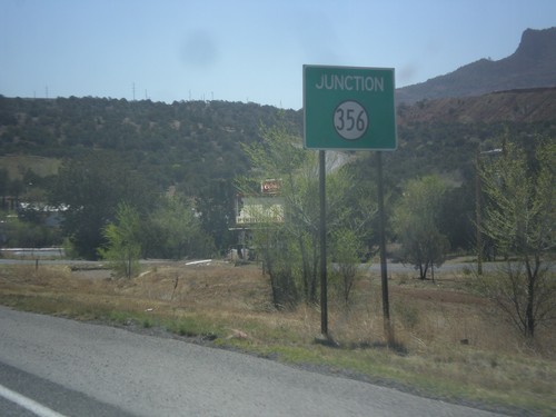
NM-152 east at NM-356. Turn right NM-356 south for Bayard. Continue ahead on NM-152 for Santa Rita. Turn left for Fierro.
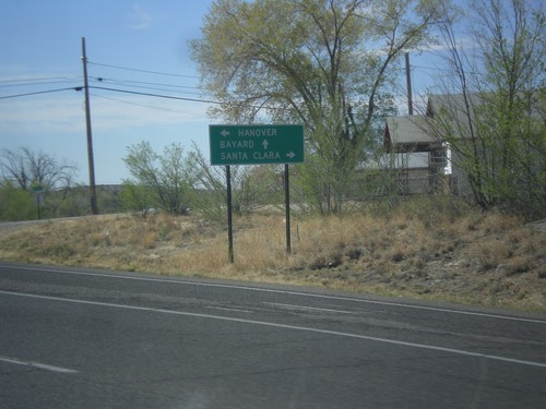
US-180 East at NM-152
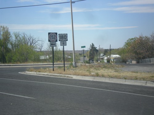
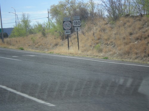
US-180 east at NM-152. Use NM-152 for Hanover. Continue east on US-180 for Bayard; turn right for Santa Clara.
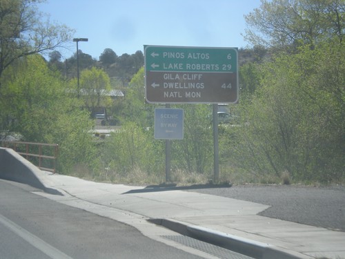
US-180 East at NM-15
US-180 east at NM-15 north to Pinos Altos, Lake Roberts, and Gila Cliff Dwellings National Monument.
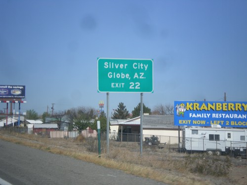
I-10 West Approaching Exit 22
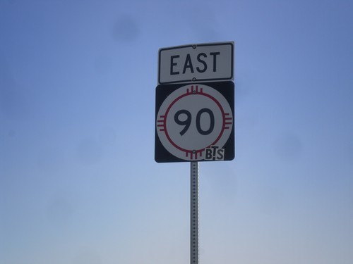
I-10 west approaching Exit 22. Use Exit 22 for Silver City (via NM-90) and Globe, AZ (via US-70).
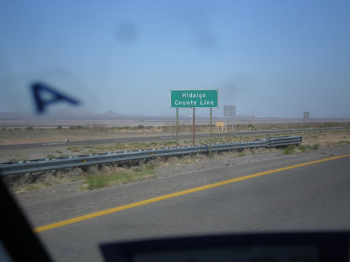
I-10 West - Hidalgo County Line
Hidalgo County Line on I-10 west. Hidalgo County is the in the southwest corner of New Mexico.
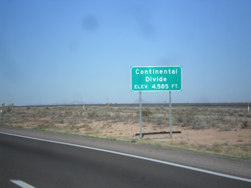
I-10 West - Continental Divide
Continental Divide on I-10 west - Elevation 4,585 Feet. This is the dividing line between the Gila River (flows to Colorado River) and the Mimbres River (flows into a closed basin).
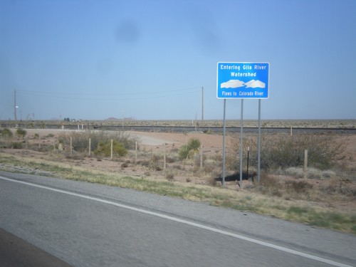
I-10 West - Entering Gila River Watershed
Entering Gila River Watershed on I-10 west. The Gila River flows to the Colorado River. This is the Continental Divide.
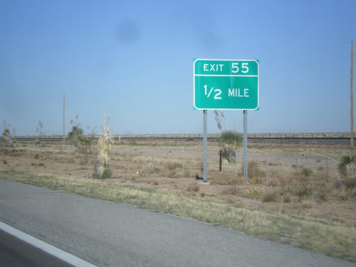
I-10 West - Exit 55
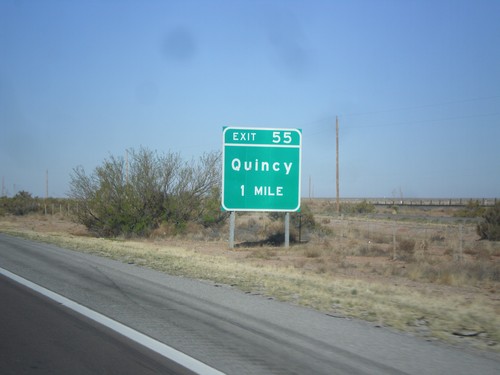
I-10 west approaching Exit 55. The previous advance sign for this exit signed it as Exit 55 - Quincy.
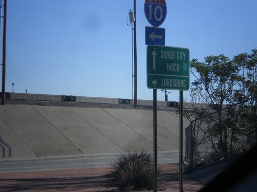
US-180 West/NM-26 East at I-10
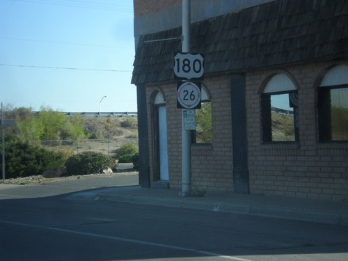
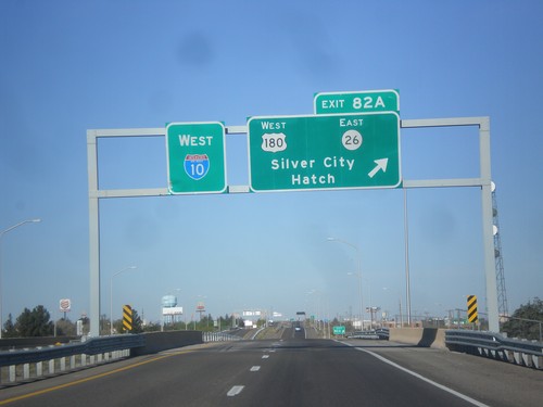
US-180 West/NM-26 East at I-10 west. Turn left for I-10 west to Lordsburg. Continue straight for US-180 West/NM-26 East for Silver City and Hatch.
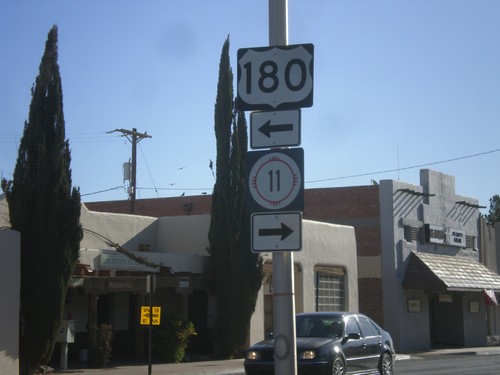
BL-10 East at US-180/NM-11
BL-10 east at US-180/NM-11. Turn left for US-180 west; turn right for NM-11 south.
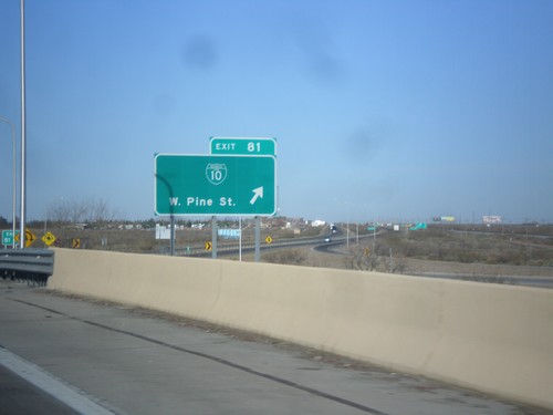
I-10 West - Exit 81
I-10 west at Exit 81 - BL-10/W. Pine St. This is the western end of the Deming business loop.
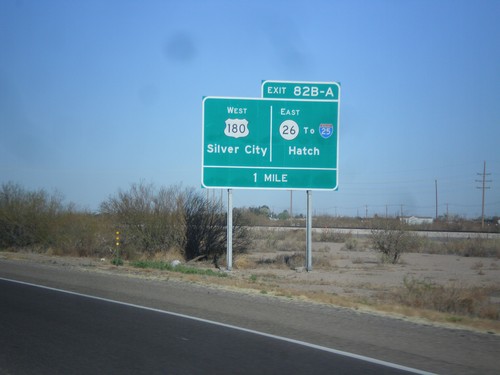
I-10 West Approaching Exits 82A and 82B
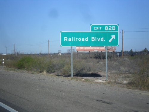
I-10 approaching Exits 82A and 82B. Exits 82AB - US-180 West/Silver City/NM-26 East/To I-25/Hatch.
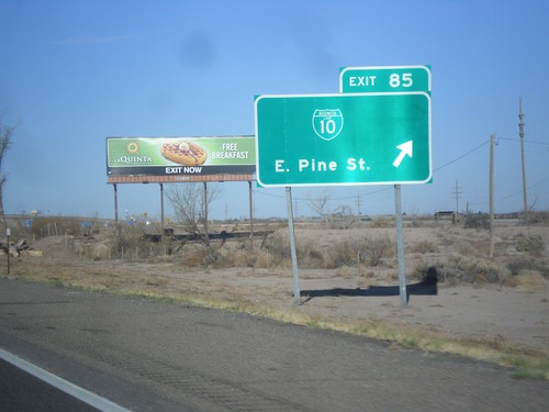
I-10 West - Exit 25
I-10 west at Exit 25 - BL-10/East Pine St. This is the east end of the Deming business loop.
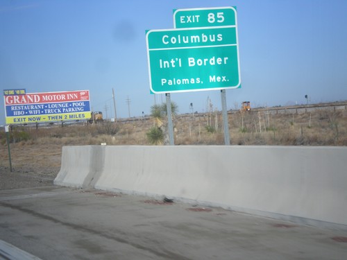
I-10 West Approaching Exit 85
I-10 west approaching Exit 85. Use Exit 85 for Columbus/International Border/Palomas, Mexico.
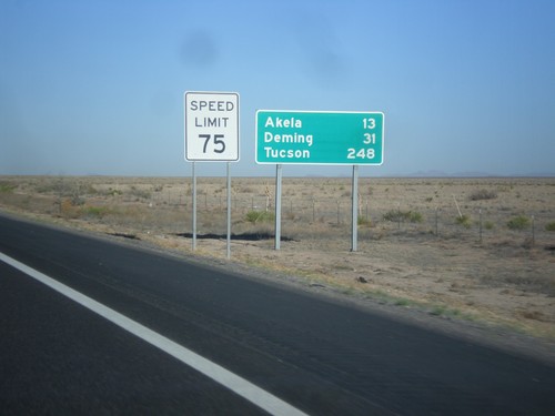
I-10 West - Distance Marker
Distance marker on I-10 west. Distance to Akela, Deming, and Tucson (Arizona).
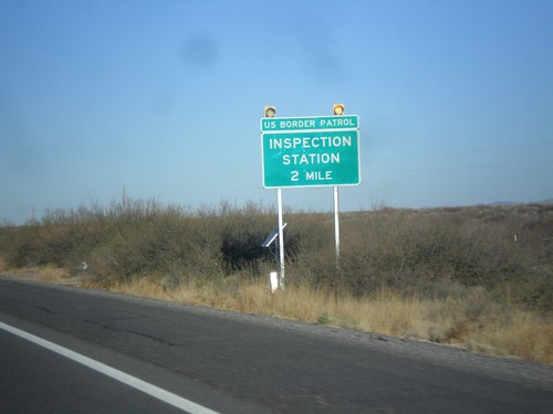
I-10 West - Inspection Station
I-10 west approaching US Border Patrol Inspection Station. I-10 has a US Border Patrol Inspection Station on both sides of the El Paso area.
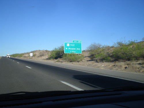
I-10 West Approaching Exit 135
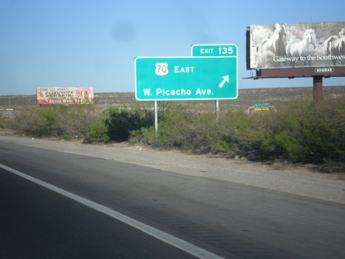
I-10 west approaching Exit 135 - US-70 East/W. Picacho Ave. US-70 joins I-10 westbound to Lordsburg.
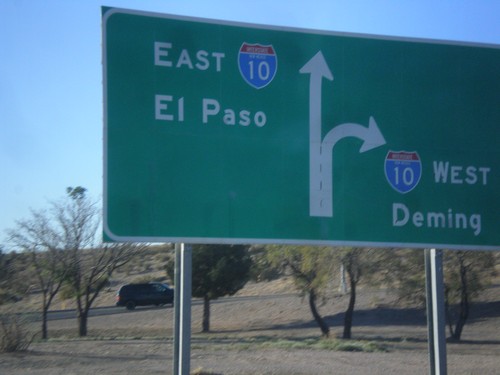
End NM-188 at I-10
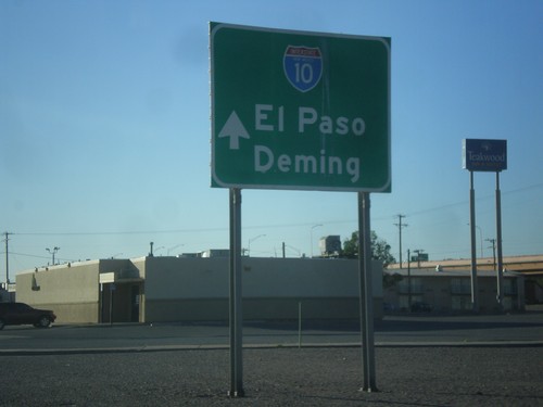
End NM-188 at I-10 junction. Use right lanes for I-10 west to Deming; left lanes for I-10 east to El Paso (Texas).
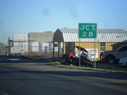
NM-188 West at NM-28
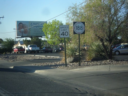
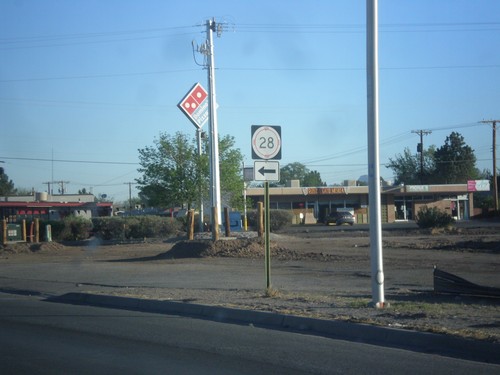
NM-118 west approaching NM-28 junction. This sign is missing the highway shield.
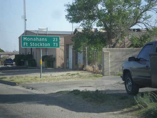
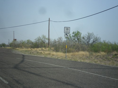
TX-18 South - Distance Marker
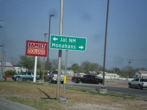
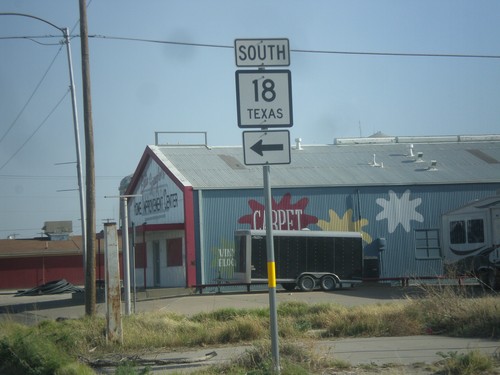
Distance marker on TX-18 south. Distance to Monahans and Fort Stockton.
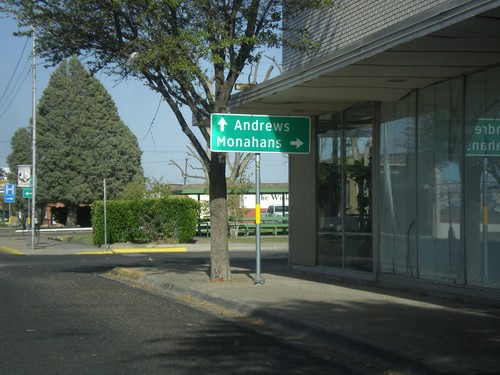
TX-18 South/TX-115 West at TX-18
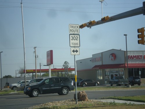
TX-18 South/TX-115 West at TX-18/TX-115 Split. Turn left for TX-18 south to Monahans; continue straight for TX-115 east to Andrews.
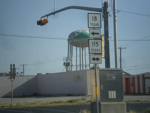
TX-18 South at TX-115
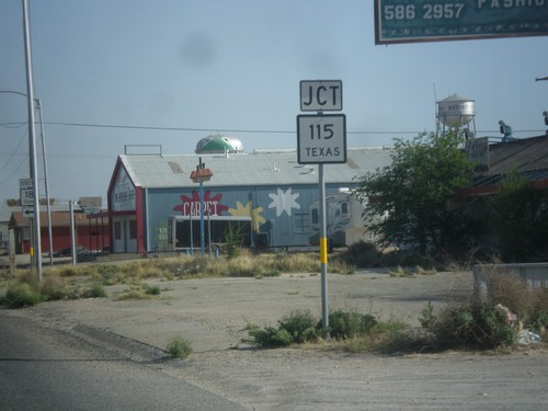
TX-18 south at TX-115. Turn left for TX-18 South/TX-115 East; turn right for TX-115 West.
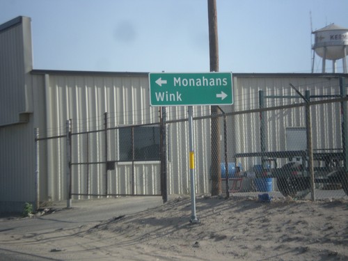
TX-18 South at TX-115
TX-18 south at TX-115. Turn right on TX-115 west for Wink; left on TX-115 west/TX-18 south for Monahans. TX-18 joins TX-115 for a few blocks through Kermit.

TX-18 South - Texas State Line
Texas State Line on TX-18 south. In the background is the first TX-18 shield, Winkler County Line, and larger Texas welcome sign. Taken at the New Mexico state line.
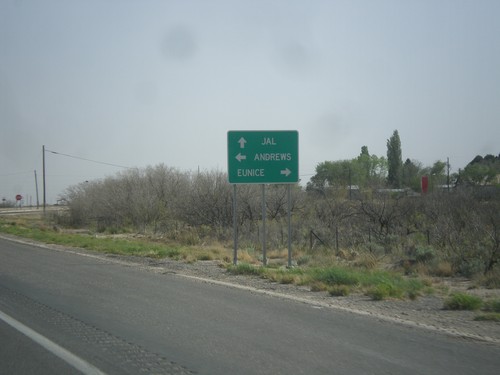
NM-18 South at NM-176
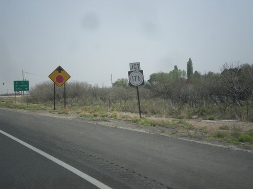
NM-18 south at NM-176. Continue south on NM-18 for Jal. Turn left on NM-176 for Andrews (TX); left on NM-176 for Eunice.
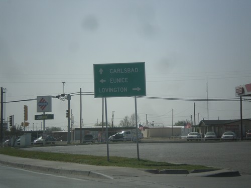
US-62/US-180 West at NM-18
US-62/US-180 west at NM-18 junction. Turn right for NM-18 north to Lovington; left for NM-18 south to Eunice. Continue straight for US-62/US-180 to Carlsbad.
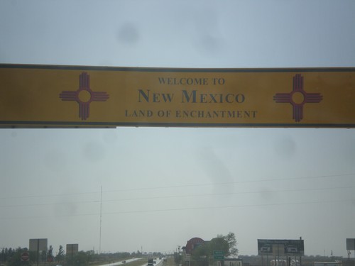
US-62/US-180 West - Welcome To New Mexico
Welcome to New Mexico - Land of Enchantment on US-62/US-180 west at the Texas state line.
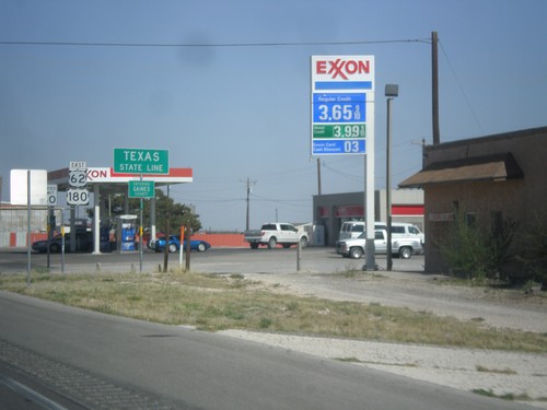
US-62/US-180 East - Texas State Line
Texas State Line on US-62/US-180 East. Entering Gaines County. Also entering Central Time Zone, although that sign is a few yards down.
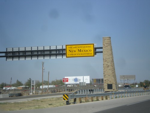
US-62/US-180 East - Leaving New Mexico
You Are Now Leaving New Mexico - The Land of Enchantment on US-62/US-180 east. Taken at the New Mexico/Texas State Line.
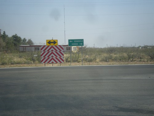
End NM-218 at US-62
End NM-218 east at US-62. Turn right for US-62 west to Hobbs; left for US-62 east to Seminole (TX).
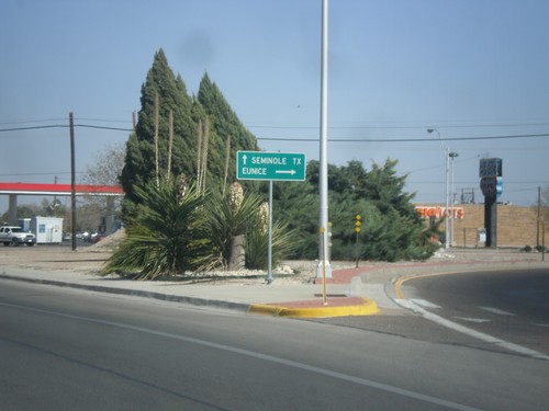
NM-18 South at NM-132/NM-218
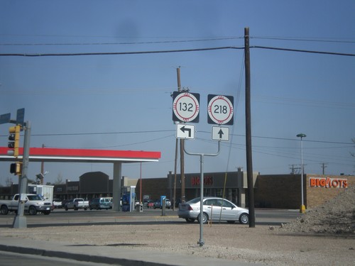
NM-18 south at NM-132/NM-218. Turn right on NM-18 south for Eunice; continue straight on NM-218 east for Seminole, TX.
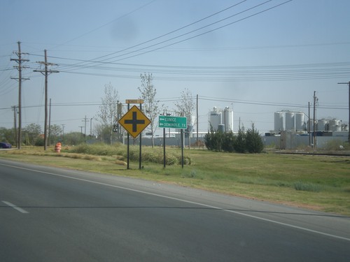
NM-18 South at Bender St.
NM-18 south (Lovington Highway) at Bender St. Turn left on Bender St. to continue south on NM-18, and for Eunice, and Seminole, TX.
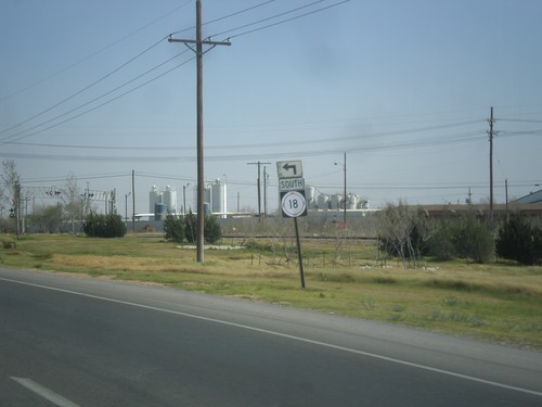
NM-18 South - Bender St.
NM-18 south (Lovington Highway) at Bender St. Turn left on Bender St. to continue south on NM-18.
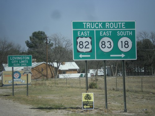
US-82 East at 17th St.
US-82 east at 17th St., the truck around around Lovington. Turn right for NM-18 South/NM-83 East truck route; turn left for US-82 east truck route. Entering Lovington, New Mexico. Lovington is the seat of Lea County.
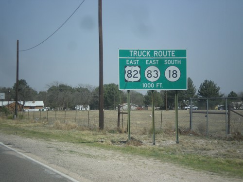
US-82 East Approaching Truck Route
US-82 east approaching truck route around the city of Lovington. Turn right on 17th St. for the NM-18/NM-83 truck route. Turn left on 17th St. for the US-82 truck route.
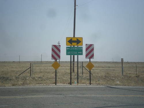
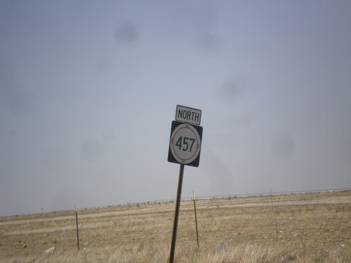
End NM-457 South at US-380
End NM-457 south at US-82. Turn right for US-82 west to Artesia; left for US-82 east to Lovington.
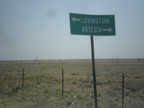
End NM-457 South at US-82
End NM-457 south at US-82. Turn right on US-82 west to Artesia; left on US-82 east to Lovington.
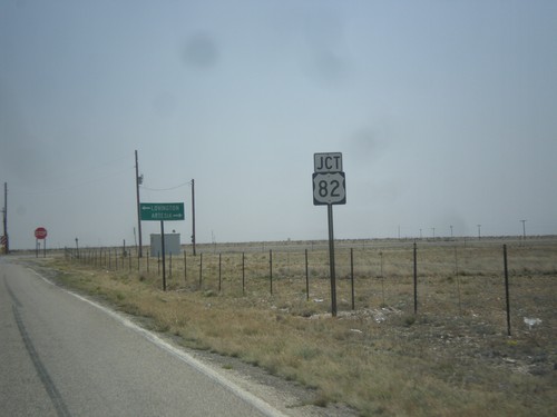
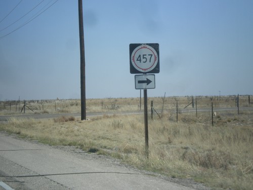
NM-457 South at US-82
NM-457 south at US-82. Turn right on US-82 (west) for Artesia; left on US-82 (east) for Lovington.
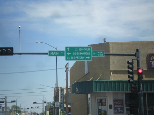
US-380 East at Main St.
US-380 east at Main St. Turn right for Main St. south to US-285/Artesia; turn left for Main St. to US-285/Vaughn. Continue east for US-380 to Tatum.
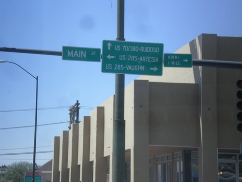
US-380 West at Main St.
US-380 west at Main St. Turn right for Main St. (to US-285 North) to Vaughn. Turn left for Main St. (to US-285 South) to Artesia. Continue west for US-380 (to US-70) to Ruidoso.
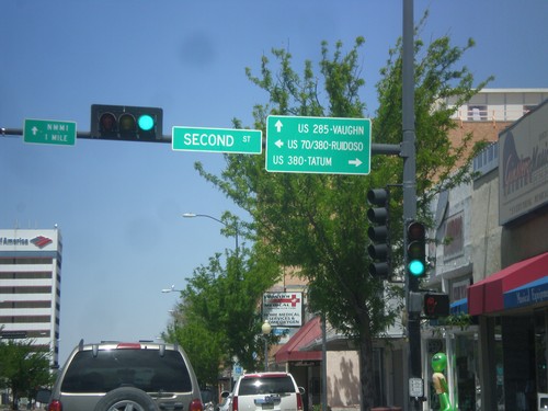
Main St. North at US-380
Main St. North at US-380. Turn right on US-380 east for Tatum, left on US-380 west (to US-70 west) for Ruidoso. Continue north on Main St. for US-285 north to Vaughn.
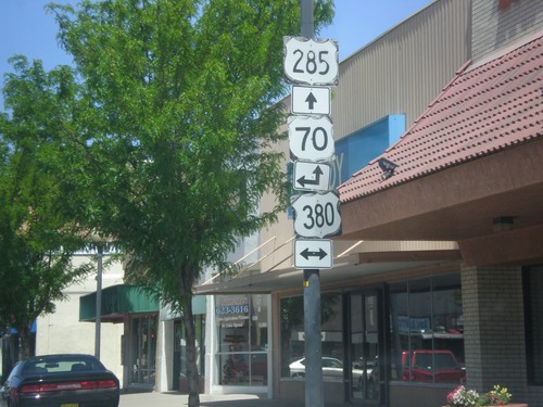
Main St. North at US-380
Main St. North at US-380 junction. US-70 used to run along US-380 and Main St. before the Relief Route was completed.
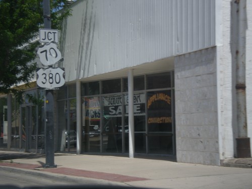
Main St. North at US-380
Main St. North at US-380 junction. US-70 used to run along US-380 through Roswell until the Roswell Relief Route was completed. Main St. was the former route of US-285, although there are still US-285 markers along Main St.
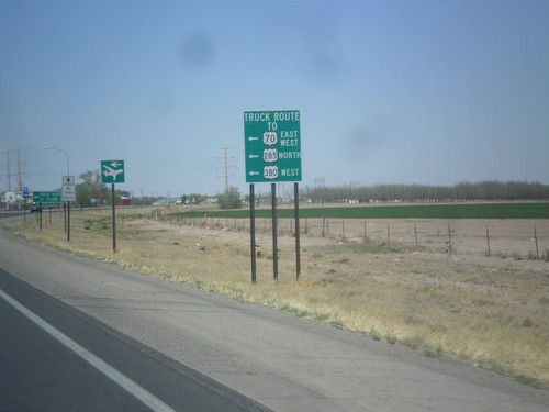
US-285 North - Roswell Relief Route
US-285 north at the southern end of the Roswell Relief Route. For US-285 North, US-380 West, and US-70, this is the truck route around the city. Officially, US-285 runs along the relief route, although there are US-285 markers along the old segment through Roswell.
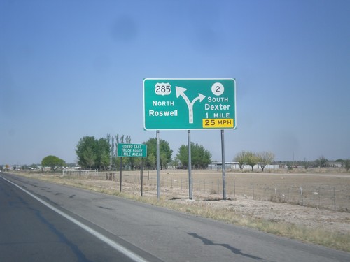
US-285 North Approaching NM-2
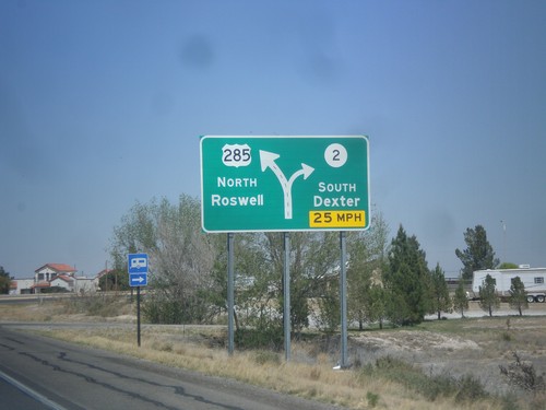
US-285 north approaching NM-2 South to Dexter. US-285 continues north towards Roswell.
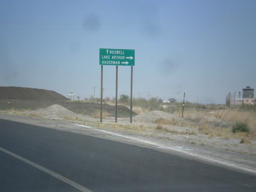
US-285 North Approaching NM-2
US-285 north approaching NM-2. Use NM-2 north for Hagerman and Lake Arthur. Continue north on US-285 for Roswell.
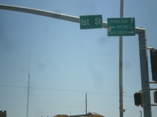
US-82 East at US-285
US-82 east at US-285. Turn right on US-285 south for Carlsbad; left on US-285 north to Roswell; straight on US-82 east for Lovington.
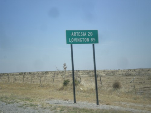
US-82 East - Distance Marker
Distance marker on US-82 east, leaving Hope, NM. Distance to Artesia, and Lovington. The text on this distance marker is centred instead of the typical left aligned.
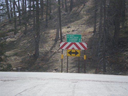
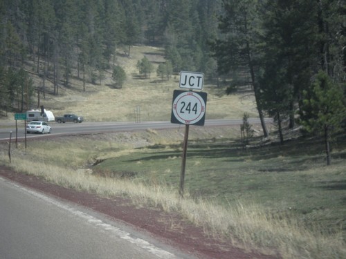
End NM-244 South at US-82
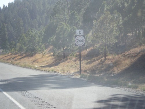
End NM-244 south at US-82. Turn right on US-82 for Alamogordo and Cloudcroft; turn left on US-82 for Mayhill and Snow Canyon.
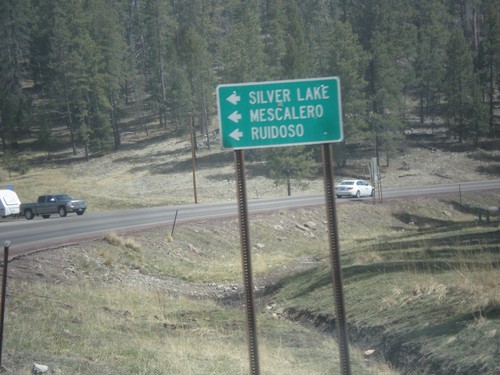
US-82 East at NM-244
US-82 east at NM-244. Turn left for NM-244 north to Mescalero, Ruidoso, and Silver Lake.
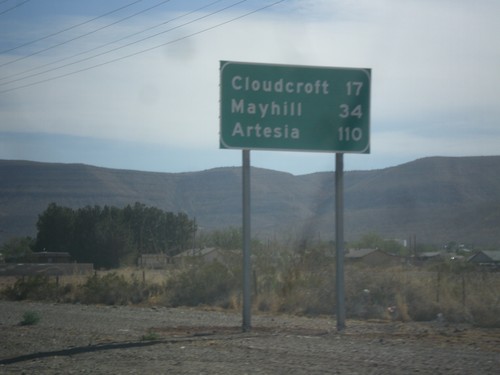
US-82 East - Distance Marker
Distance marker on US-82 east, leaving Alamogordo. Distance to Cloudcroft, Mayhill, and Artesia.
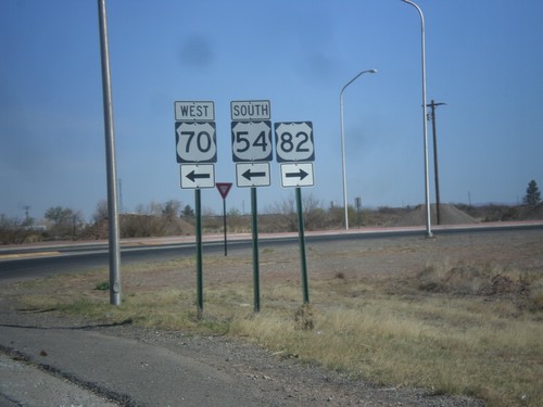
White Sands Blvd. North at US-54/US-70/US-82
White Sands Blvd. north at US-54/US-70/US-82 junction. Turn right for US-82 east; left for US-54 South/US-70 West; straight for US-54 North/US-70 East.
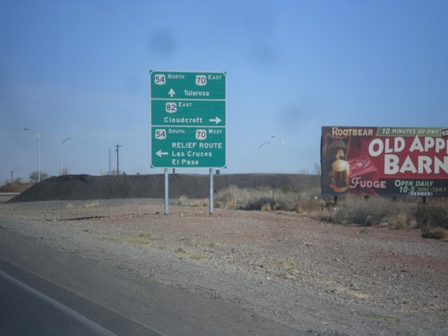
White Sands Blvd. North at US-54/US-70/US-82
White Sands Blvd. North at US-54/US-70/US-82 in Alamogordo. Turn left for US-54 South/US-70 West/Relief Route/Las Cruces/El Paso. Turn right for US-82/Cloudcroft. Continue straight for US-54 North/US-70 East/Tularosa. This is the northern end of the Alamogordo Relief Route. This is also the western terminus of US-82.
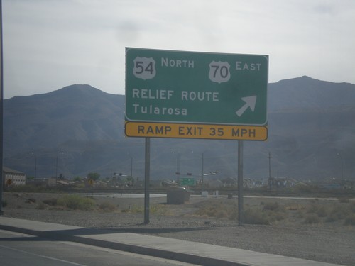
US-70 East at Alamogordo Relief Route
US-70 east at Alamogordo Relief Route. Exit here for US-70 East/US-54 North/Relief Route/Tularosa. Continue straight for downtown Alamogordo via White Sands Blvd. White Sands Blvd. rejoins US-54/US-70 on the north end of Alamogordo.
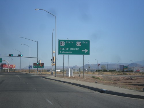
US-54 North at US-70
US-54 north at US-70 west, the southern end of the Alamogordo Relief Route. Turn right for US-54 North/US-70 East/Relief Route/Tularosa. Continue north for US-70 west, and downtown Alamogordo.
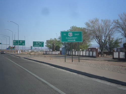
US-54 North at US-70 - Alamogordo Relief Route
US-54 north at US-70. Turn right to access US-82/Cloudcroft (via Alamogordo Relief Route).
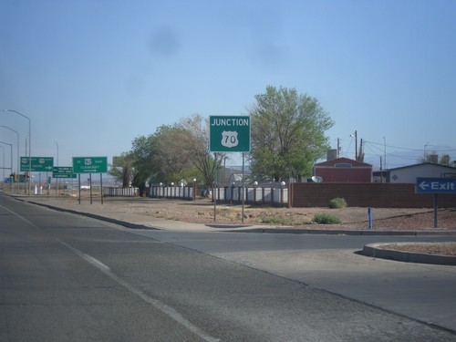
US-54 North Approaching US-70
US-54 north approaching US-70 at the southern end of the Alamogordo Relief Route.
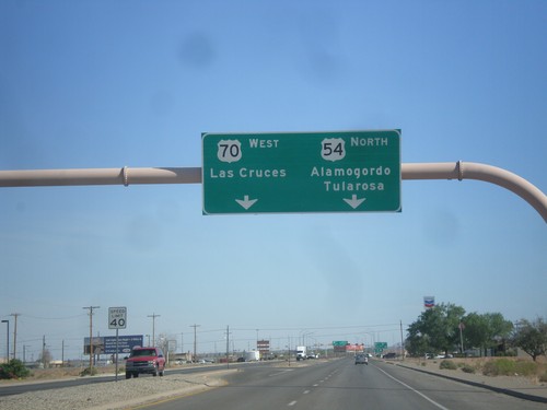
US-54 North Approaching US-70
US-54 north approaching US-70 in Alamogordo. Use US-70 west for Las Cruces. Use US-54 north for Alamogordo and Tularosa. US-70 joins US-54 north to Tularosa.
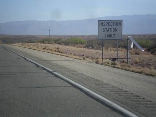
US-54 North - Inspection Station
Approaching Border Patrol Inspection Station on US-54 north. All roads leading out of the El Paso area have Border Patrol Inspections that you must pass through.
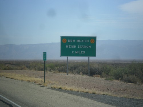
US-54 North - New Mexico Weigh Station
Approaching New Mexico Weigh Station and Border Patrol Checkpoint.
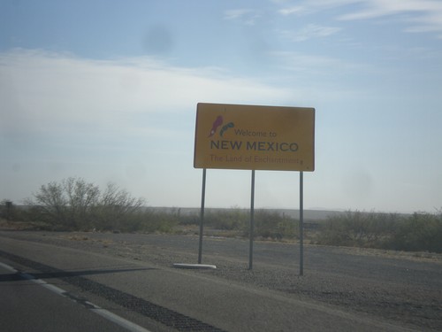
US-54 North - Welcome To New Mexico
Welcome to New Mexico - Land of Enchantment on US-54 north. US-54 is a divided highway from the Texas line north to Tularosa.
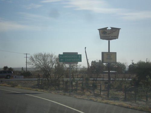
US-54 North at State Line Road
US-54 north at State Line Road west to Chaparral (New Mexico). Continue north on US-54 for Alamogordo (New Mexico). The highway crosses into New Mexico just north of this junction.
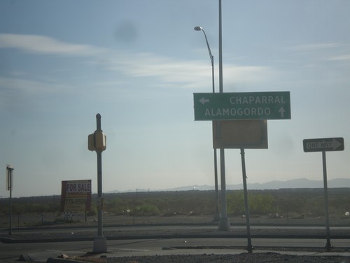
US-54 North at FM-2529
US-54 north at FM-2529/McCombs St. Turn left on FM-2529 for Chaparral (New Mexico). Continue north on US-54 for Alamogordo (New Mexico).
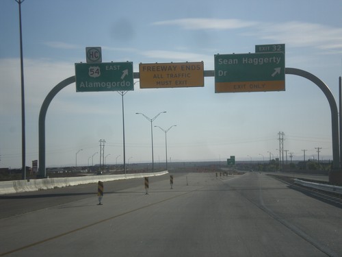
US-54 North - Exit 32
US-54 north at Exit 32 - Sean Haggerty Drive. All traffic must exit the freeway here. The remainder of US-54 north into New Mexico is a divided expressway.
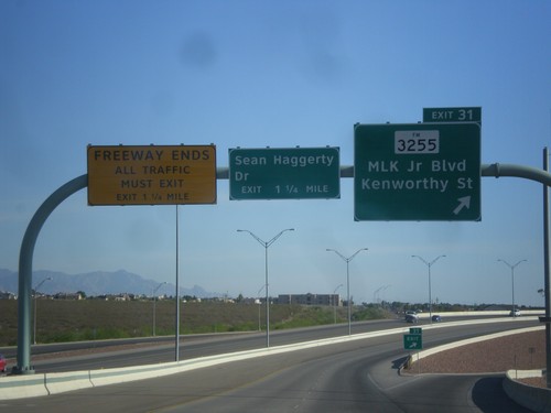
US-54 North - Exit 31
US-54 north at Exit 31 - FM-3255/MLK Jr. Blvd./Kenworthy St. Approaching Sean Haggerty Drive exit. The Patriot Freeway ends at Sean Haggerty Drive exit.
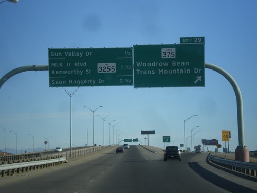
US-54 North - Exit 29
US-54 north at Exit 29 - TX-375 Loop North/Woodrow Bean Transmountain Drive. This is the northern end of the TX-375 Loop around El Paso. Approaching Sun Valley Drive, FM-3255/MLK Jr. Blvd./Kenworthy St./Sean Haggerty Drive interchanges.
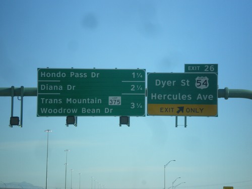
US-54 North - Exit 26
US-54 north at Exit 26 - Business US-54/Dyer St./Hercules Ave. Approaching Hondo Pass Road, Diana Drive, and TX-375 Loop/Trans Mountain Woodrow Bean Drive.
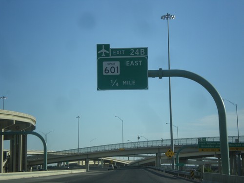
US-54 North - Exit 24B
US-54 north approaching Exit 24B - TX-601 Spur East. Use TX-601 Spur for the El Paso International Airport.
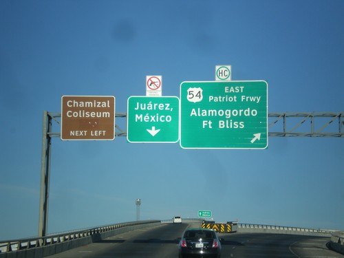
I-10 West at I-110/US-54 Ramps
I-10 west at I-110/US-54 ramps. Merge right for US-54 North/Patriot Freeway/Alamogordo/Fort Bliss. Merge left for (I-110/US-54 South)/Juárez, Mexico. Also use I-110/US-54 south for Chamizal Coliseum. Notice the sign above the Juárez, Mexico signs that shows firearms are not allowed in Mexico.
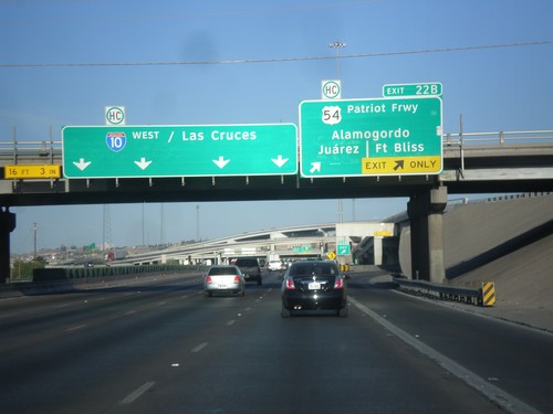
I-10 West - Exit 22B
I-10 west at Exit 22B - US-54/Patriot Freeway/Alamogordo/Fort Bliss/Juárez. I-10 continues west to Las Cruces (New Mexico).
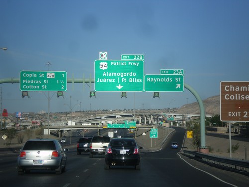
I-10 West - Exits 23A and 22B
I-10 west at Exit 23A - Raynolds St. Approaching Exit 22B - US-54/Patriot Freeway/Alamogordo/Fort Bliss/Juárez (Mexico). Also approaching Copia St., and Piedras St./Cotton St interchanges.
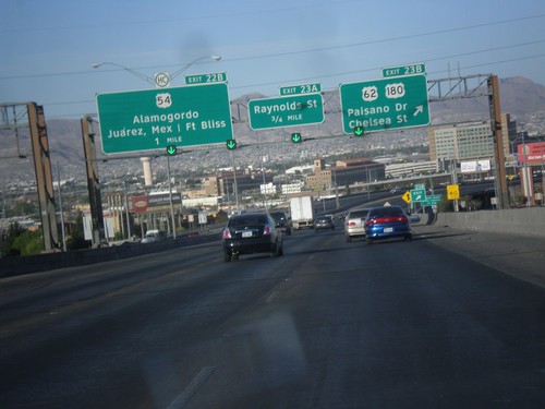
I-10 West - Exits 23B, 23A, and 22B
I-10 west at Exit 23B - US-62/US-180/Paisano Dr/Chelsea St. Approaching Exit 23A - Raynolds St. Also approaching Exit 22B - US-54/Alamogordo/Juárez, Mexico/Fort Bliss.
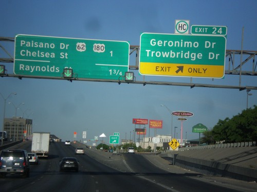
I-10 West - Exit 24
I-10 west at Exit 24 - Geronimo Drive/Trowbridge Drive. Approaching US-62/US-180/Chelsea St/Paisano Drive, and Raynolds St.
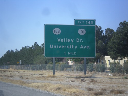
I-10 West Approaching Exit 140
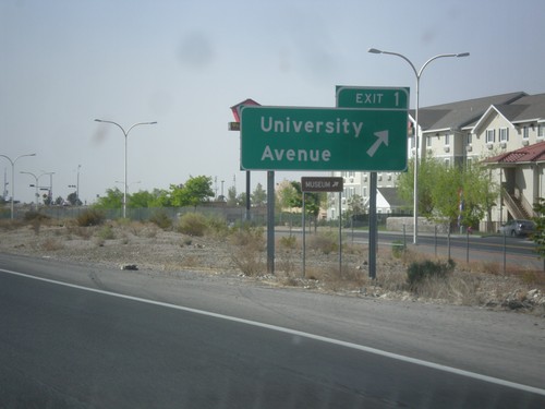
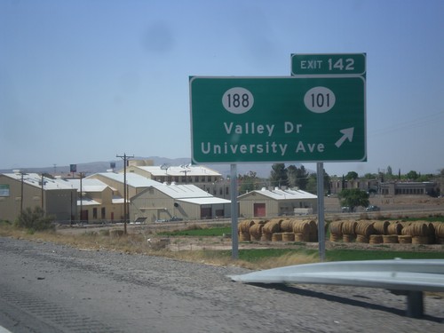
I-10 west approaching Exit 140 - NM-188/NM-101/Valley Drive/University Ave.
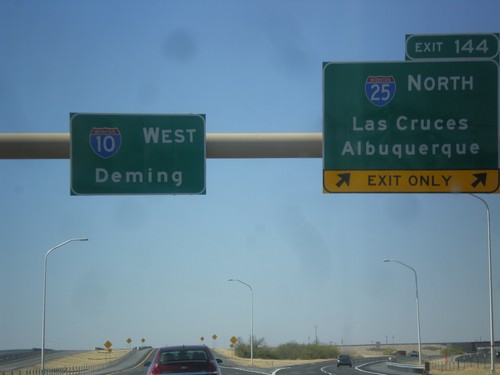
I-10 West - Exit 144
I-10 west at Exit 144 - I-25 North/Las Cruces/Albuquerque. Continue west on I-10 towards Deming.
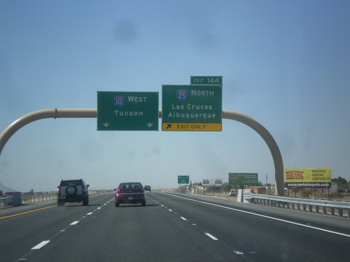
I-10 West - Exit 144
I-10 west approaching Exit 144 - I-25 North/Albuquerque/Las Cruces. Continue west on I-10 to Tucson (Arizona).
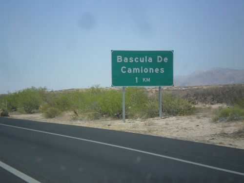
I-10 West - Bascula de Camiones
I-10 west approaching Bascula de Camiones (Truck Scales), 1 km. This sign shows how close this area is to Mexico.
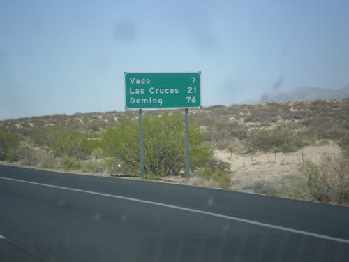
I-10 West - Distance Marker
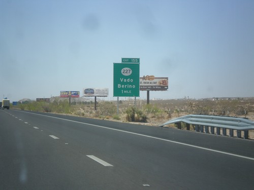
First distance marker on I-10 west in New Mexico. Distance to Vado, Las Cruces, and Deming.
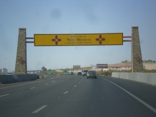
I-10 West - Welcome To New Mexico
Welcome to New Mexico on I-10 west. Taken just west of the Texas-New Mexico state line.
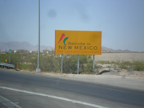
I-10 West - Welcome To New Mexico
Welcome to New Mexico - Land of Enchantment on I-10 west. Taken at the Texas - New Mexico State Line.
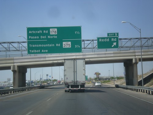
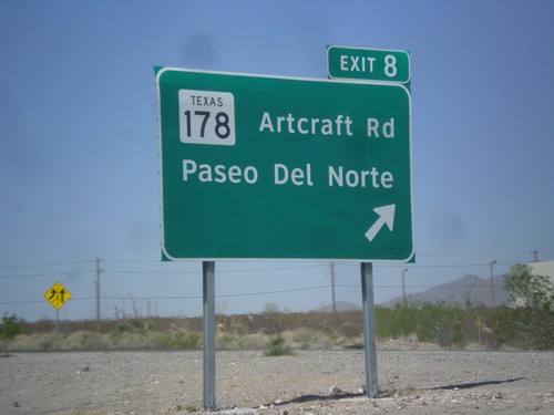
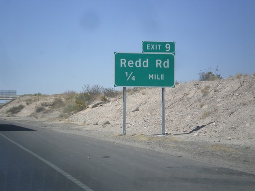
I-10 West - Exit 9
I-10 west at Exit 9 - Redd Road. Approaching TX-178/Artcraft Road/Paseo del Norte and TX-375 Loop/Transmountain Road/Talbot Ave interchanges.
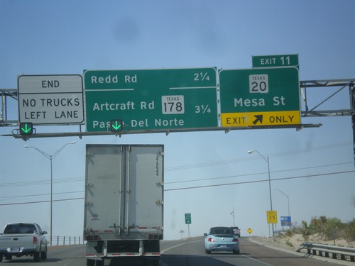
I-10 West - Exit 11
I-10 west at Exit 11 - TX-20/Mesa St. Approaching Redd Road, TX-178/Artcraft Road/Paseo del Norte interchanges.
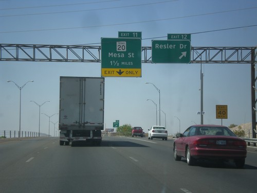
I-10 West - Exits 12 and 11
I-10 west at Exit 12 - Resler Drive. Approaching Exit 11 - TX-20/Mesa St.
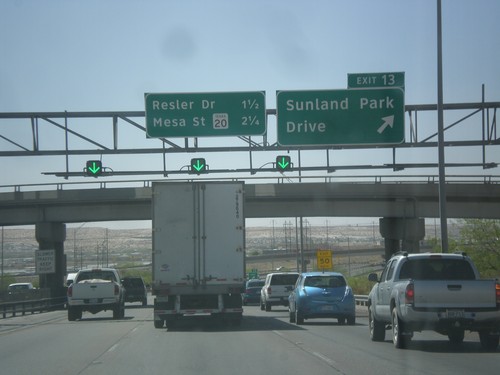
I-10 West - Exit 13
I-10 west at Exit 13 - Sunland Park Drive. Approaching Resler Drive, and TX-20/Mesa St. interchanges.
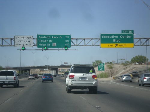
I-10 West - Exit 16
I-10 west at Exit 16 - Executive Center Blvd. Approaching Sunland Park Drive, Resler Drive, and TX-20/Mesa St. interchanges.
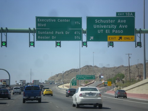
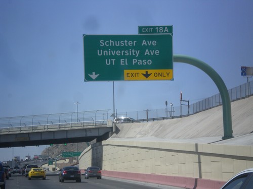
I-10 West - Exit 18A
I-10 west at Exit 18A - Schuster Ave./University Ave./UT El Paso. Approaching Executive Center Blvd., Sunland Park Drive, and Resler Drive interchanges.
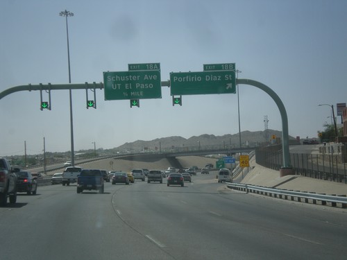
I-10 West - Exits 18B and 18A
I-10 west at Exit 18B - Porfirio Diaz St. Approaching Exit 18A - Schuster Ave/UT El Paso.
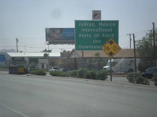
I-10 West - Exit 19B
I-10 west approaching Exit 19B - Juarez, Mexico/International Ports of Entry - Use Downtown Exit.
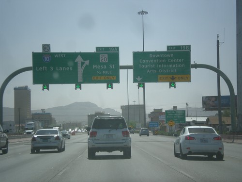
I-10 West - Exits 19B and 19A
I-10 west at Exit 19B - Downtown/Convention Center/Tourist Information/Arts District. Approaching Exit 19A - TX-20/Mesa St. Use left 3 lanes for I-10 west.
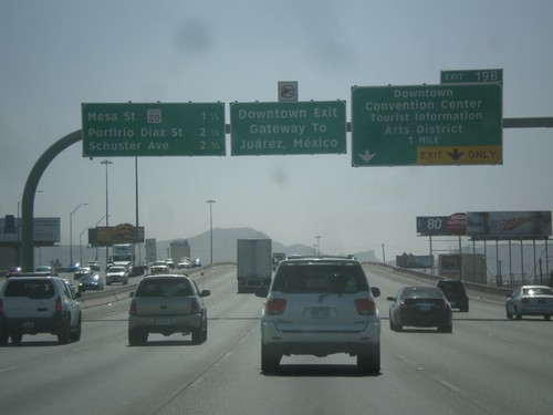
I-10 West - Exit 19B
I-10 west approaching Exit 19B - Downtown/Convention Center/Tourist Information/Arts District. Use Exit 19B for Juarez, Mexico. Approaching TX-20/Mesa St., Porfirio Diaz St., and Schuster Ave.
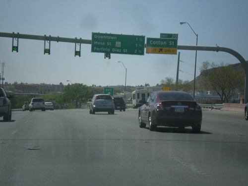
I-10 West - Exit 20
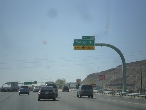
I-10 west at Exit 20 - Cotton St. Approaching Downtown, TX-20/Mesa St., and Porfirio Diaz St. interchanges.
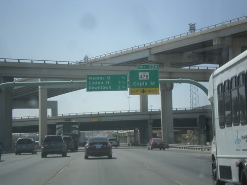
I-10 West Approaching Exit 22A
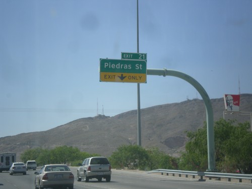
I-10 west approaching Exit 22A - TX-478 Loop/Copia St. Approaching Piedras St., Cotton St., and Downtown interchanges.
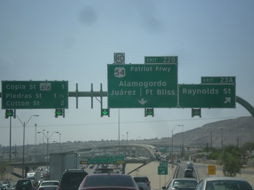
I-10 West - Exits 23A and 22B
I-10 west at Exit 23A - Raynolds St. Approaching Exit 22B - US-54/Patriot Freeway/Alamogordo (NM)/Fort Bliss/Juarez (Mexico). Continue west on I-10 for Copia St./TX 478 Loop/Piedras St./Cotton St.
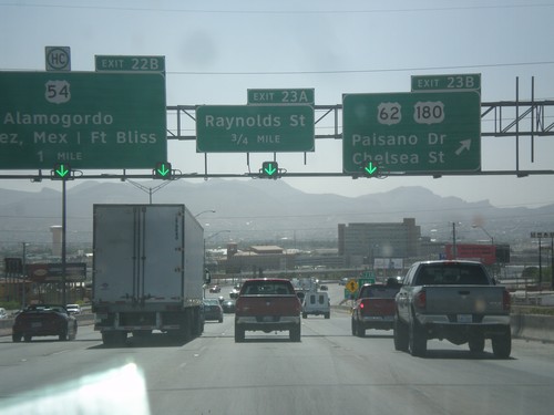
I-10 West - Exits 23B, 23A, and 22B
I-10 west at Exit 23B - US-62/US-180/Paisano Drive/Chelsea St. Approaching Exit 23A - Raynolds St. Also approaching Exit 22B - US-54/Alamogordo/Fort Bliss/Juarez, Mexico.
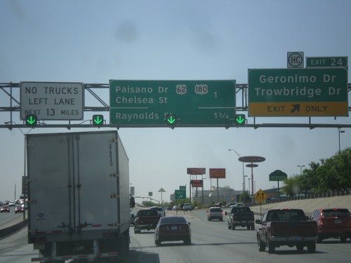
I-10 West - Exit 24
I-10 west at Exit 24 - Geronimo Drive/Trowbridge Drive. Approaching US-62/US-180 Jct. and Raynolds St. Jct.
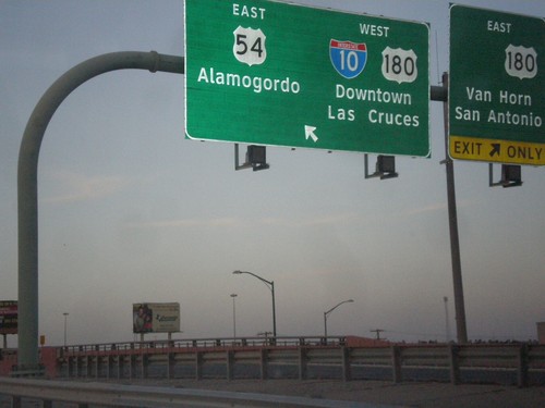
I-110/US-54 North at I-10
I-110/US-54 North at I-10/US-180 jct. Merge left for US-54 North/Alamogordo (NM), and I-10/US-180 West/Downtown/Las Cruces (NM). Merge right for I-10(not-signed)/US-180 East/Van Horn/San Antonio. This is the northern end of I-110.
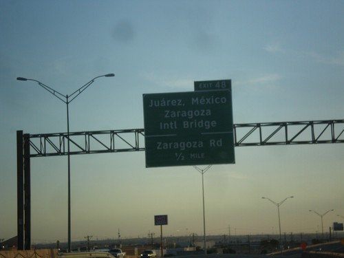
TX-375 Loop - Exit 48
TX-375 Loop southwest approaching Exit 48 - Juarez, Mexico/Zaragoza International Bridge/Zaragoza Road.
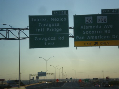
TX-375 Loop - Exits 47 and 48
TX-375 Loop southwest at Exit 47 - TX-20/FM-258/Alameda Ave./Socorro Road/Pan American Drive. Approaching Exit 48 - Juarez, Mexico/Zaragoza International Bridge/Zaragoza Road.
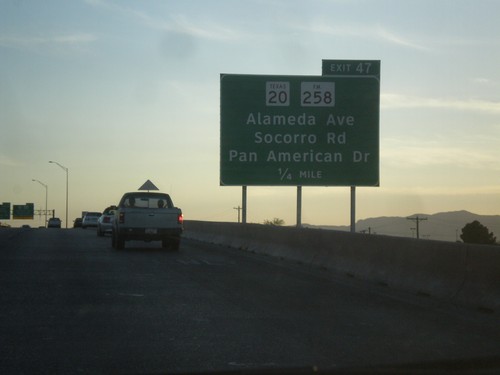
TX-375 Loop South - Exit 47
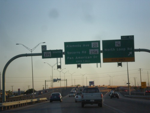
TX-375 Loop South approaching Exit 47 - TX-20/FM-258/Alameda Ave./Socorro Road/Pan American Drive.
