Signs From October 2013
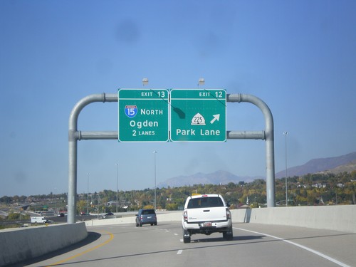
Legacy Parkway - Exits 12 and 13
Legacy Parkway (UT-67) north at Exit 12 - UT-225/Park Lane. Approaching I-15 North/Ogden. Approaching the northern end of Legacy Parkway.
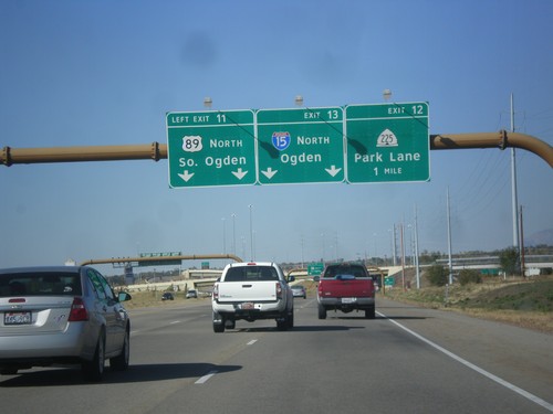
Legacy Parkway (UT-67) North - Exits 11,12,13
Legacy Parkway (UT-67) north at Exit 11- US-89 North/South Ogden. Approaching Exit 12 - UT-225/Park Lane. Also approaching Exit 13 - I-15/Ogden.
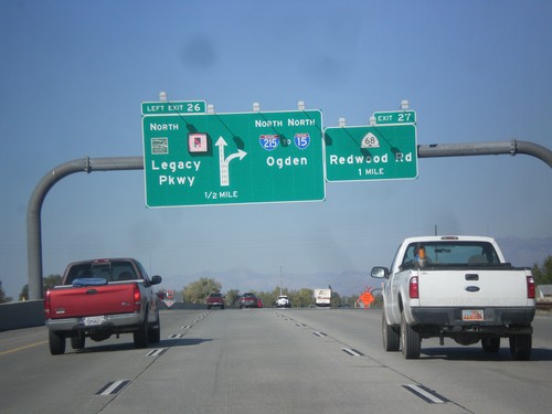
I-215 North - Exits 26 and 27
I-215 north at Exit 26 - UT-67/Legacy Parkway. Approaching Exit 27 - UT-68/Redwood Road. Continue north on I-215 for I-15 and Ogden. Trucks are not allowed to use Legacy Parkway.
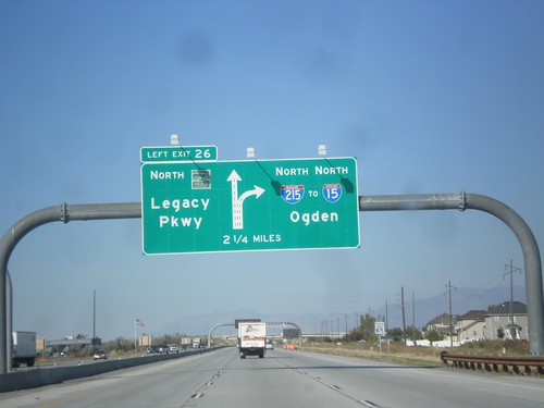
I-215 North - Exit 26
I-215 north approaching Exit 26 - UT-67/Legacy Parkway. Continue north on I-215 for I-15 and Ogden.
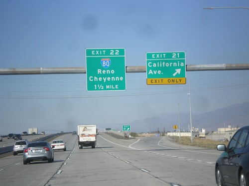
I-215 North - Exits 21 and 22
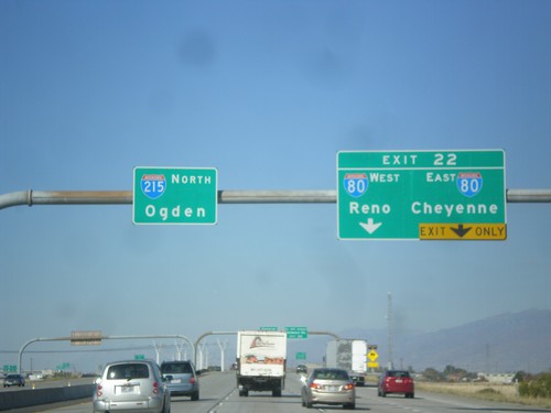
I-215 north at Exit 21 - California Ave. Approaching Exit 22 - I-80/Reno(NV)/Cheyenne(WY).
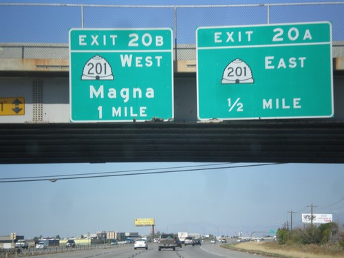
I-215 North - Exits 20A and 20B
I-215 north at Exit 20A - UT-201 East. Approaching Exit 20B - UT-201 West - Magna.
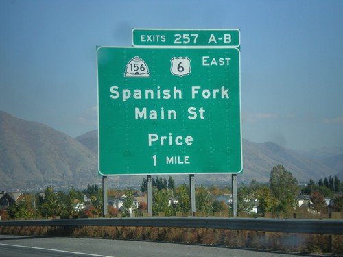
I-15 North - Exits 257A-B
I-15 north approaching Exit 257A-B - US-6 West/UT-156/Spanish Fork/Main St./Price. US-6 leaves I-15 northbound at this interchange.
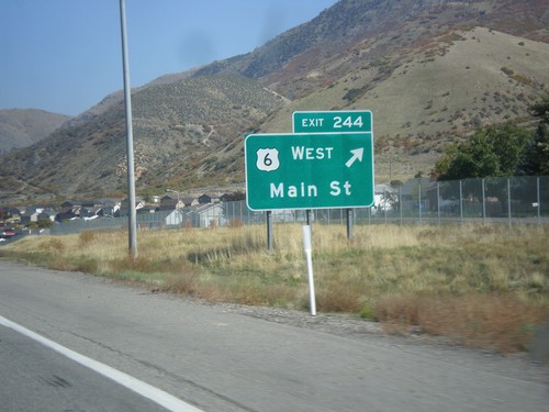
I-15 North - Exit 244
I-15 north at Exit 244 - US-6 West/Main St. US-6 joins I-15 northbound to Spanish Fork.
I-15 North - Utah County
Entering Utah County on I-15 northbound. Utah County is the southern part of the Salt Lake City metropolitan area. Provo is the county seat of Utah County.
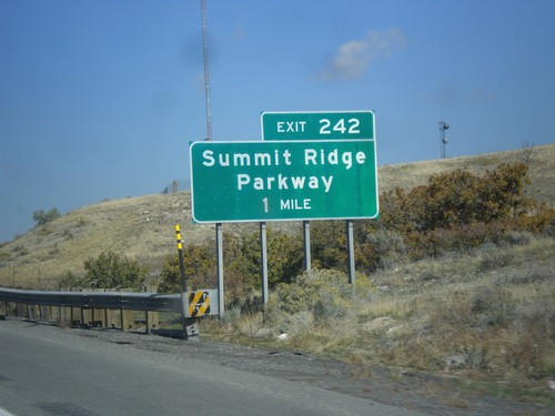
I-15 North - Exit 242
I-15 north approaching Exit 242 - Summit Ridge Parkway. This interchange was recently renamed from South Santaquin.
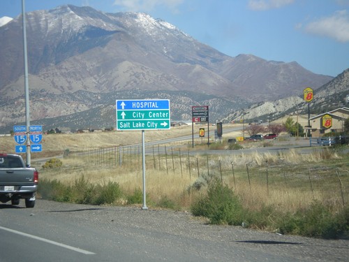
UT-28 North Approaching I-15
UT-28 north approaching I-15. Turn right on I-15 north for Salt Lake City. Continue north on UT-28 for City Center (Nephi) and Hospital.
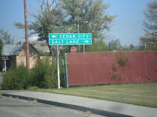
UT-28 North Approaching UT-78
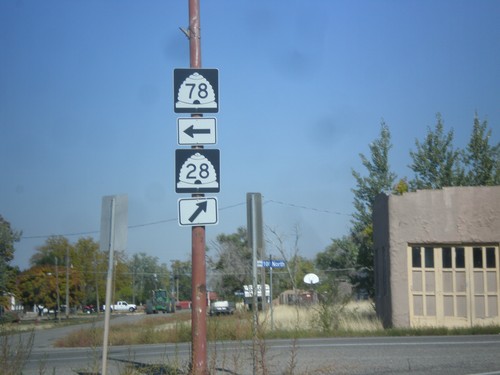
UT-28 north approaching UT-78. Use UT-28 north for Salt Lake City (via I-15 North). Use UT-78 west for Cedar City (via I-15 South).
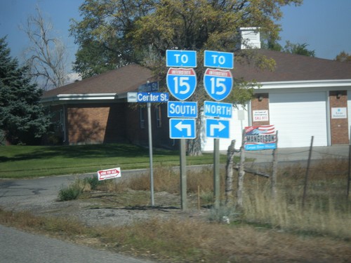
UT-28 North Approaching UT-78
UT-28 north approaching UT-78. Turn right for UT-28 north to I-15 North. Turn left for UT-78 west to I-15 South.
UT-28 North - Juab County
Entering Juab County on UT-28 north. This county line sign is non typical in that it is not written in all capitol letters.
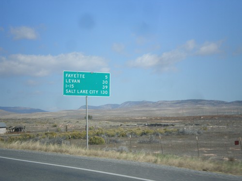
UT-28 North - Distance Marker
Distance marker on UT-28 north. Distance to Fayette, Levan, I-15, and Salt Lake City.
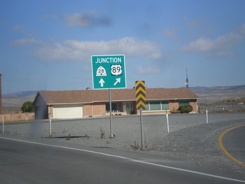
US-89 North at UT-28
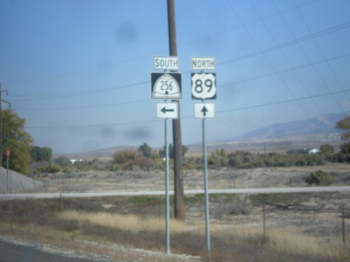
US-89 north at UT-28. Merge right to continue north on US-89. Continue straight for UT-28.
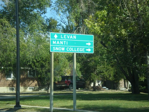
US-89 North at UT-28
US-89 north at UT-28. Turn right for US-89 north to Manti and Snow College. Continue straight for UT-28 north to Levan.
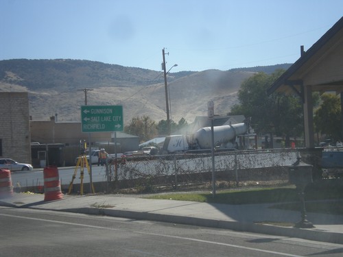
US-50 East at US-89
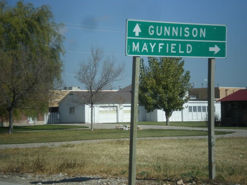
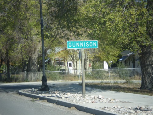
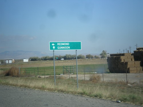
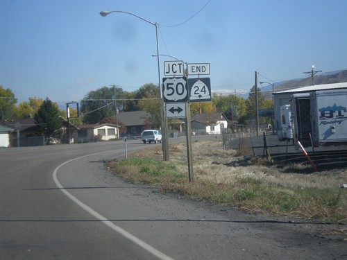
US-50 east at US-89 junction. Turn left on US-89 north for Gunnison and Salt Lake City. Turn right for US-89 South/US-50 East to Richfield.
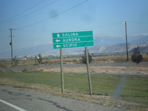
UT-24 west at UT-260
UT-24 west at UT-260 north to Aurora and Scipio. Continue west on UT-24 for Salina.
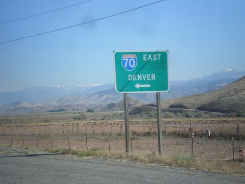
UT-24 West at I-70 (UT-259)
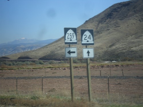
UT-24 west at I-70 east to Denver. There is a signed state highway, UT-259, that connects UT-24 to the I-70 ramps.
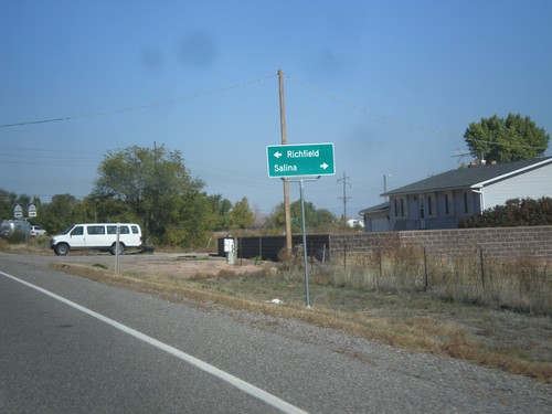
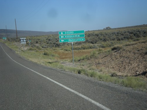
UT-24 West Approaching UT-118
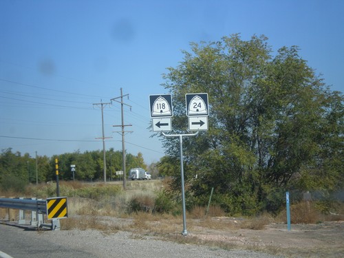
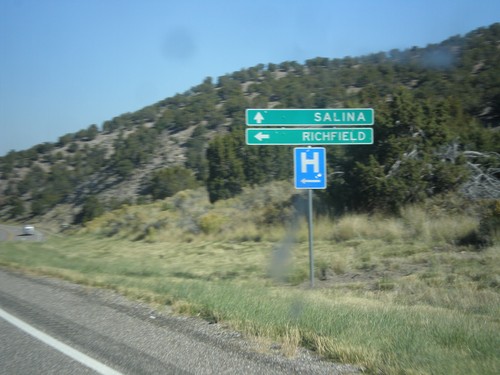
UT-24 west at UT-118. Turn right on UT-24 for Salina. Turn left on UT-118 for Richfield.
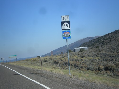
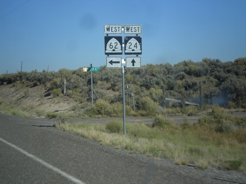
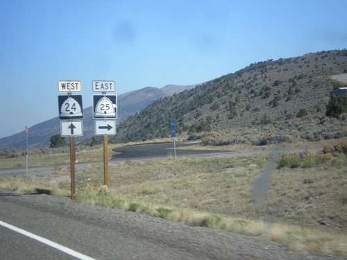
UT-24 West Approaching UT-25
UT-24 west approaching UT-25 in Piute County. UT-25 is part of the Fish Lake Scenic Byway.
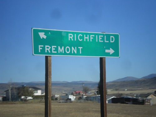
UT-24 West Approaching UT-72
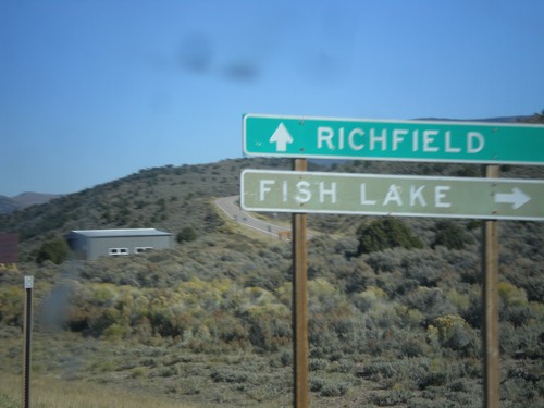
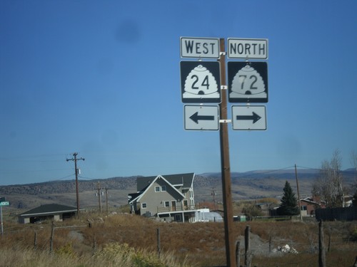
UT-24 west approaching UT-72. Turn right on UT-72 for Fremont. Merge left on UT-24 for Richfield.
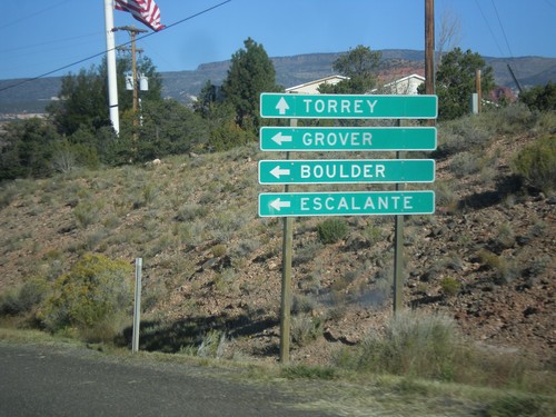
UT-24 West Approaching UT-12
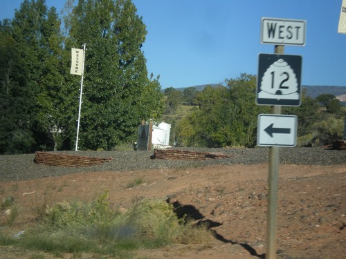
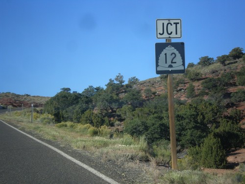
UT-24 west approaching UT-12 west to Grover, Boulder, and Escalante. Continue west on UT-24 for Torrey.
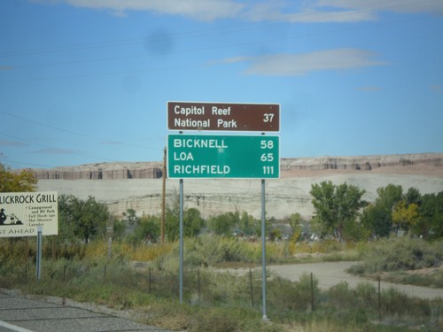
UT-24 West - Distance Marker
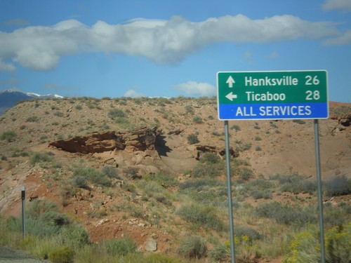
Distance marker on UT-24 west, leaving Hanksville. Distance to Capitol Reef National Park, Bicknell, Loa, and Richfield.
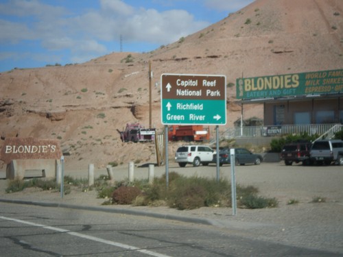
UT-95 West Approaching UT-24
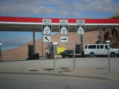
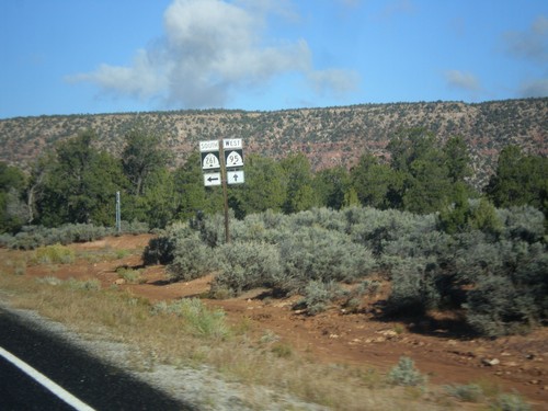
UT-95 west approaching UT-24 in Hanksville. Use UT-24 east for Green River; use UT-24 west for Capitol Reef National Park and Richfield.
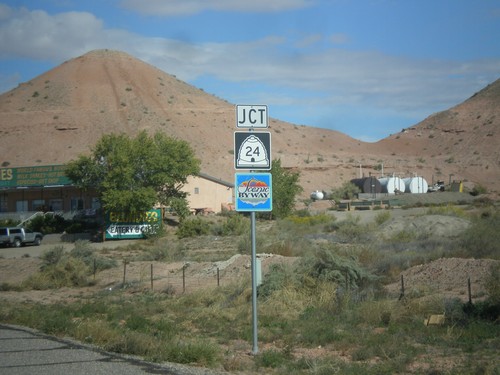
UT-95 West Approaching UT-24
UT-95 west approaching UT-24 in Hanksville. UT-24 west of Hanksville is designated the Capitol Reef Country Scenic Byway.
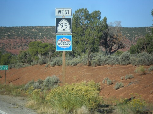
UT-95 West
UT-95 west in San Juan County. UT-95 is part of the Bicentennial-Trail of the Ancients Scenic Byway.
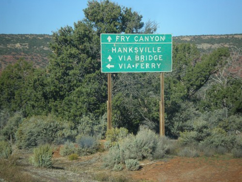
UT-95 West At UT-276 South
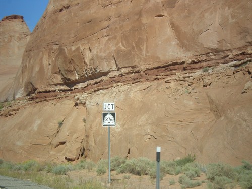
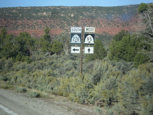
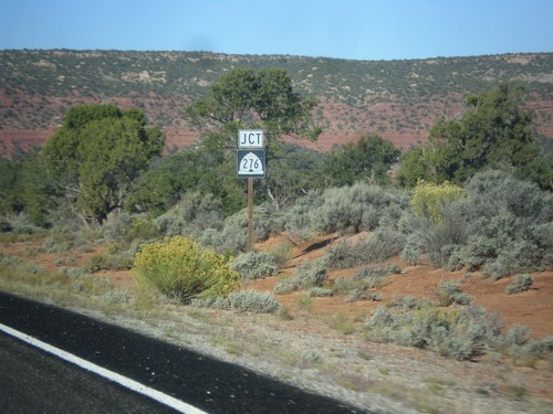
UT-95 west at UT-276 south. Use UT-276 for access to Lake Powell, and Hanksville via the ferry. Continue west on UT-95 for Hanksville via the bridge at Hite and Fry Canyon. At the time this picture was taken, the UT-276 ferry was not running.
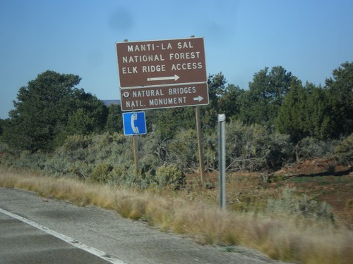
UT-95 West Approaching UT-275
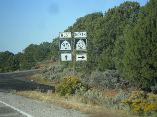
UT-95 west approaching UT-275 north to Natural Bridges National Monument and Manti-La Sal Forest Elk Ridge Access. This is the entrance to Natural Bridges National Monument.
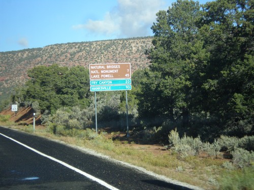
UT-95 West - Distance Marker
Distance marker on UT-95 west to Natural Bridges National Monument, Lake Powell, Fry Canyon, and Hanksville.
UT-95 West at UT-261
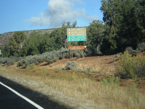
UT-95 west at UT-261 south to Mexican Hat. Continue west on UT-95 for Natural Bridges National Monument, Fry Canyon, Lake Powell, and Hanksville.
US-191 South Approaching UT-95
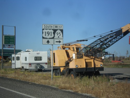
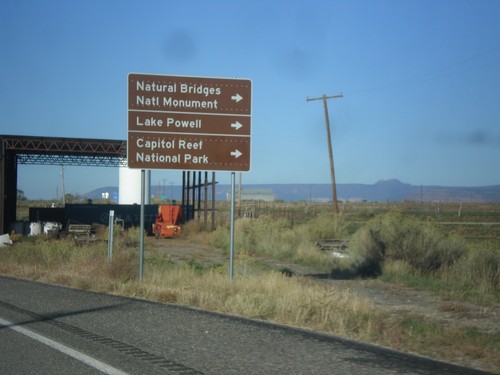
US-191 south approaching UT-95 west to Natural Bridges National Monument, Lake Powell, and Capitol Reef National Park.
US-191 South Approaching UT-95
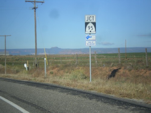
US-191 south approaching UT-95. UT-95 is part of the Trail of the Ancients Scenic Byway.
US-191 South Approaching UT-95
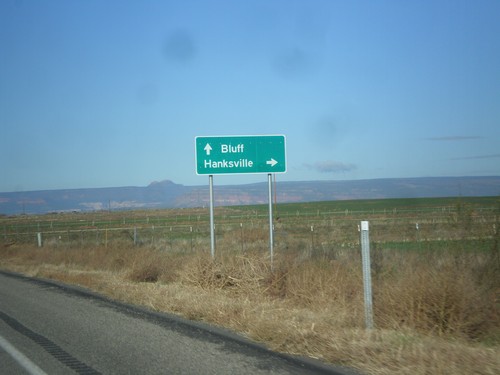
US-191 south approaching UT-95 west to Hanksville. Continue south on US-191 to Bluff. This sign is not typical for a junction between two state highways, in that it is not in all capitol letters, and there is not horizontal lines separating the cities.
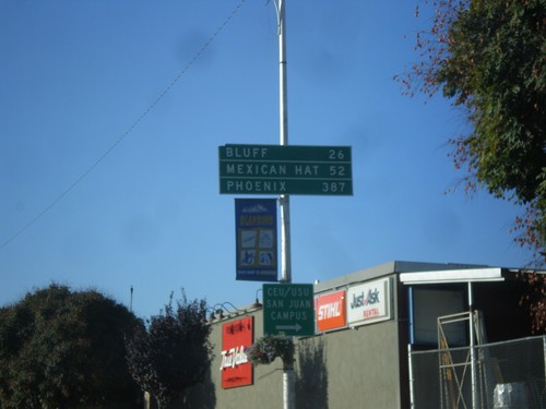
US-191 South - Distance Marker
Distance marker on US-191 south in Blanding. Distance to Bluff, Mexican Hat, and Phoenix. The last city is interesting, because US-191 does not go anywhere near Phoenix. A distance marker between Monticello and Blanding lists Flagstaff as the control city, which is also not on US-191.
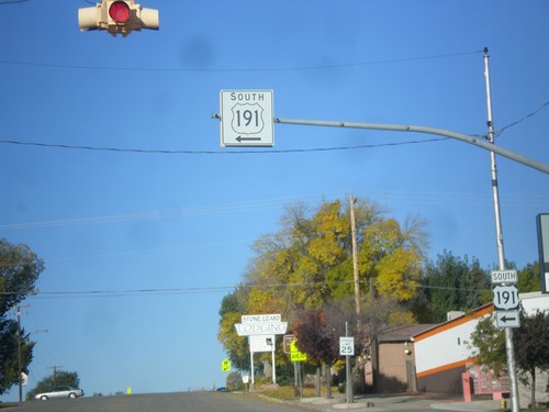
US-191 South - Blanding
US-191 south at the Center St./Main St. intersection in Blanding. US-191 turns south on Main St.
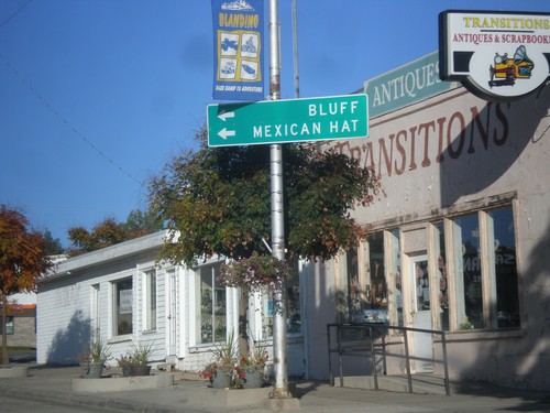
US-191 South - Blanding
US-191 south at Main St. and Center St. in Blanding. US-191 turns south onto Main St. towards Bluff and Mexican Hat.
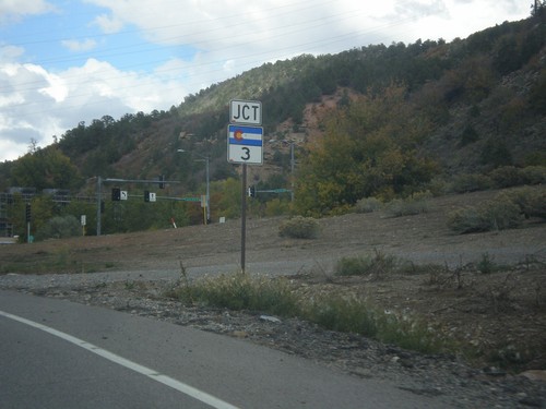
US-160 West/US-550 North Approaching CO-3
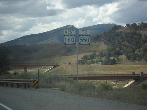
US-160 West/US-550 North Approaching CO-3 in Durango. CO-3 is a short route that runs along the east side of Durango.
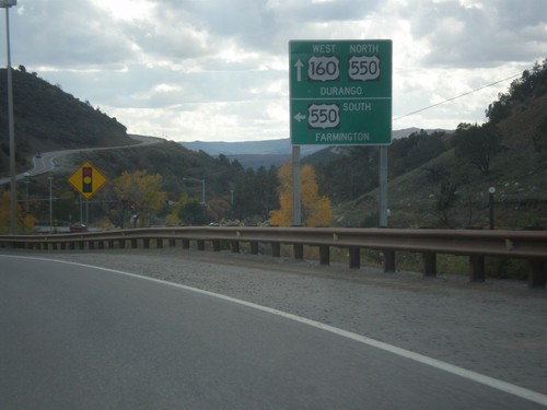
US-160 West at US-550 South
US-160 west at US-550 south. Use US-550 south for Farmington (New Mexico). US-550 north joins US-160 into Durango.
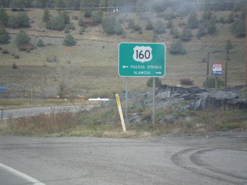
End US-84 at US-160
End US-84 at US-160 in Pagosa Springs. Turn right on US-160 east for Alamosa. Turn left on US-160 west for Pagosa Springs.
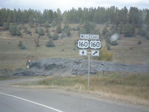
End US-84 West at US-160
End US-84 west at US-160 in Pagosa Springs. There is no END US-84 sign at this junction.
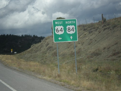
US-64 West/US-84 North at Split
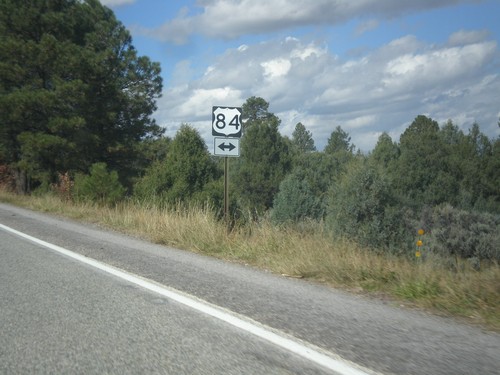
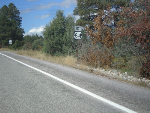
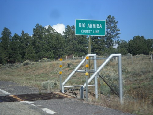
US-64 West/US-84 north at split in Rio Arriba County. US-84 north continues straight; turn left for US-64 west.
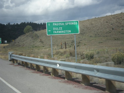
US-64 West/US-84 North Approaching Split
US-64 West/US-84 north approaching US-64/US-84 split. Use US-84 north for Pagosa Springs (Colorado). Turn left for US-64 west to Dulce and Farmington.
US-64 West/US-84 North - Routes Divide
Approaching US-64 West/US-84 North route divide in Rio Arriba County.
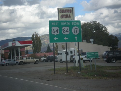
US-64 West/US-84 North at NM-17
US-64 West/US-84 north at NM-17 in Chama. Turn left to continue west on US-64/US-84.
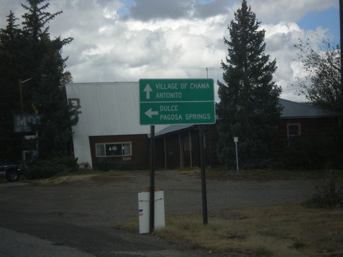
US-64 West/US-84 North Approaching NM-17
US-64 West/US-84 North approaching NM-17. Use NM-17 for the Village of Chama and Antonito (Colorado). Turn left to continue west on US-64/US-84 towards Dulce and Pagosa Springs (Colorado).
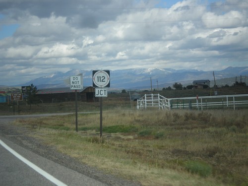
US-64 West/US-84 North Approaching NM-512
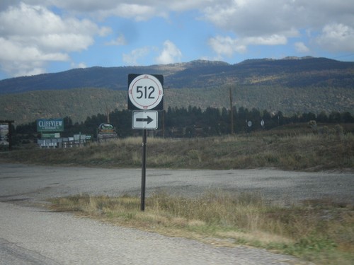
US-64 West/US-84 North approaching NM-512 near Tierra Amarilla.
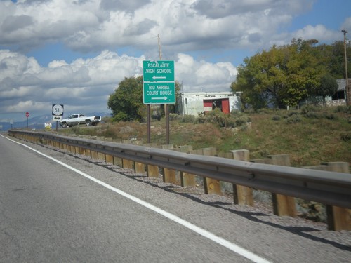
US-64 West/US-84 North Approaching NM-531
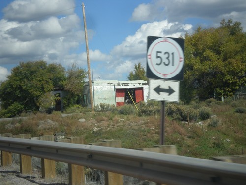
US-64 West/US-84 North approaching NM-531. Turn left for Escalante High School; turn right for Rio Arriba Court House (in Tierra Amarilla).
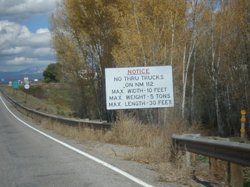
US-64 West/US-84 North - No Thru Trucks on NM-112
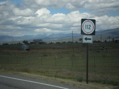
US-64 West/US-84 North approaching NM-531 junction. No thru trucks on NM-112.
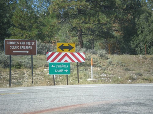
US-64 West at US-84
US-64 west at US-84. Turn right to continue west on US-84. US-64 joins US-84, through Chama, and over the Continental Divide. Turn left on US-64/US-84 for Chama and the Cumbres and Toltec Scenic Railroad; turn right on US-84 for Espanola.
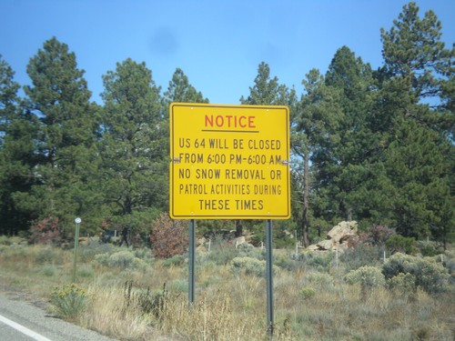
US-64 West Closure Hours
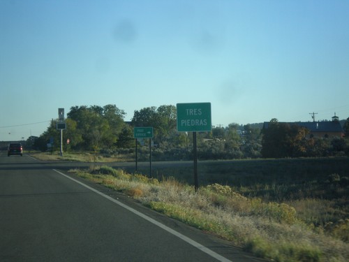
US-64 will be closed from 6:00 PM to 6:00 AM (between Tres Piedras and Tierra Amarilla). No snow removal or patrol activities during these times.
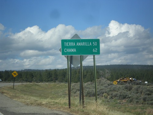
US-64 West - Distance Marker
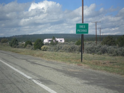
Distance marker on US-64 west in Tres Piedras. Distance to Tierra Amarilla, and Chama.
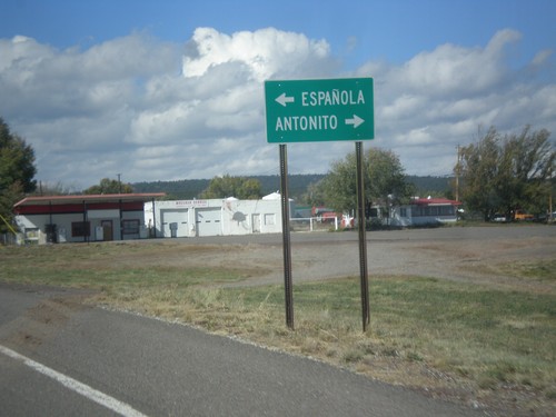
US-64 West at US-285
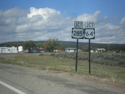
US-64 west at US-285 in Tres Piedras. Turn right for US-285 north to Antonito (Colorado). Turn left for US-285 south to Espanola.
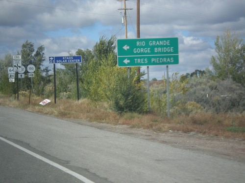
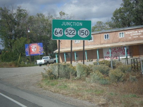
US-64 West at NM-150/NM-522
US-64 west at NM-150/NM-522 junction. Use US-64 for Tres Piedras and Rio Grande Gorge Bridge.
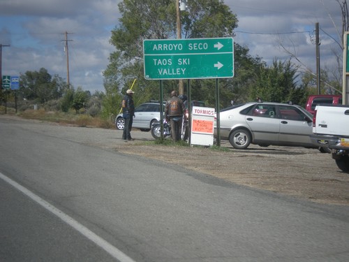
US-64 West at NM-150/NM-522
US-64 west at NM-150/NM-522. Turn right on NM-150 for Taos Ski Valley and Arroyo Seco.
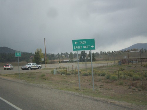
End NM-434 North at US-64
End NM-434 north at US-64. Turn right for US-64 east to Eagle Nest; left for US-64 west to Taos.
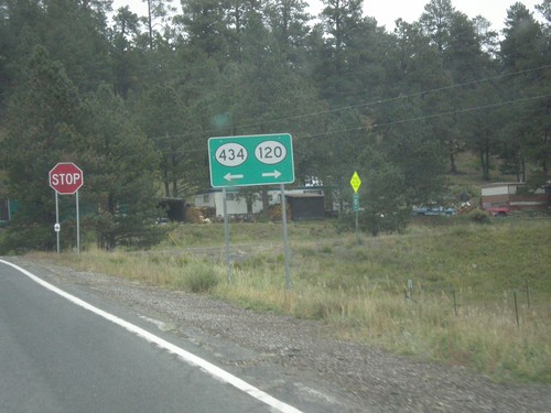
NM-434 North at NM-120
NM-434 north at NM-120 in Colfax County. Turn right for NM-120, turn left to continue north on NM-434.
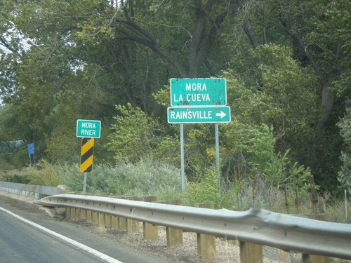
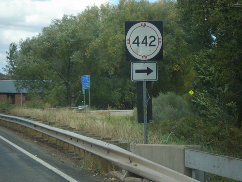
NM-518 North At NM-442
NM-518 north at NM-442. Turn right on NM-442 for Rainsville. Continue north on NM-518 for Mora and La Cueva. Crossing the Mora River.
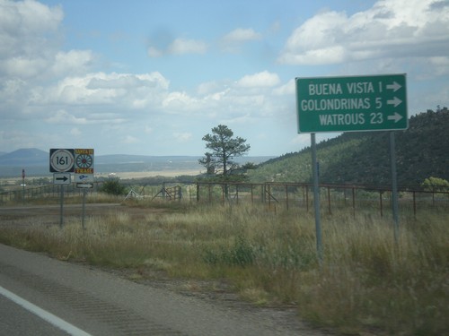
NM-518 North at NM-116
NM-518 north at NM-116 east to Buena Vista, Golondrinas, and Watrous. NM-116 follows the route of the Santa Fe Trail.
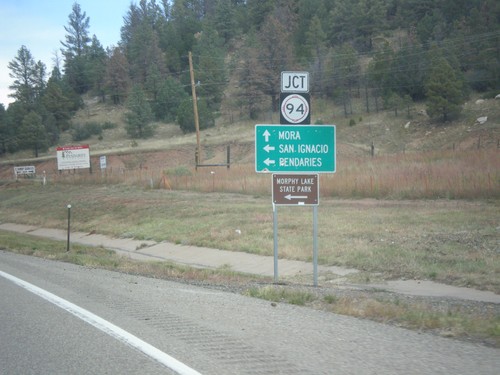
NM-518 North Approaching NM-94
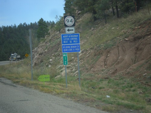
NM-518 north approaching NM-94 west to San Ignacio, Pendaries, and Morphy Lake State Park. Continue north on NM-518 for Mora.
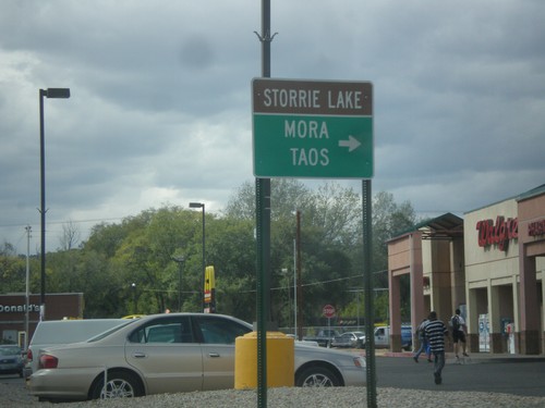
Mills Ave. West at NM-518
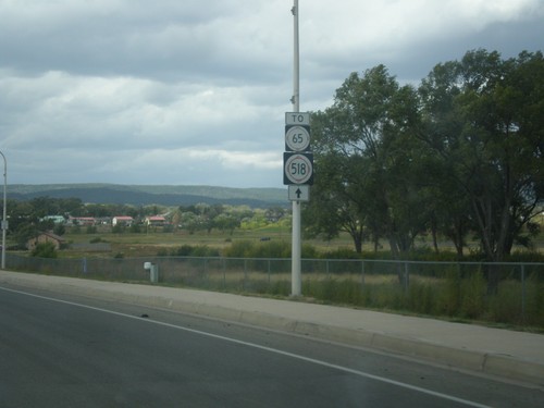
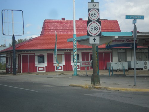
Mills Ave. west at NM-518. Use NM-518 north for Storrie Lake (State Park), Mora, and Taos. From the documentation I can find, it appears that Mills Ave. was formerly signed as NM-329. There were no NM-329 shields along Mills Ave. in 2013, when this picture was taken. This is also the southern end of NM-518, which used to extend south through Las Vegas to BL-25.
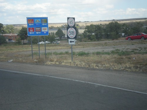
BL-25 North (Grand Ave.) at Mills Ave.
BL-25 North (Grand Ave.) at Mills Ave., which leads to NM-518 and NM-65. Mills Ave. formerly used to be NM-329.
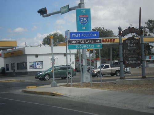
BL-25 North (Grand Ave.) at NM-104
BL-25 North (Grand Ave.) at NM-104 in Las Vegas. Turn right on NM-104 east for I-25, Conchas Lake (State Park), Tucumcari, and State Police.
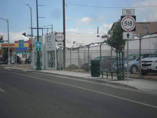
BL-25 North (Grand Ave.) Approaching NM-104
BL-25 North (Grand Ave.) approaching NM-104 in Las Vegas. Continue north on Grand Ave. for NM-518.
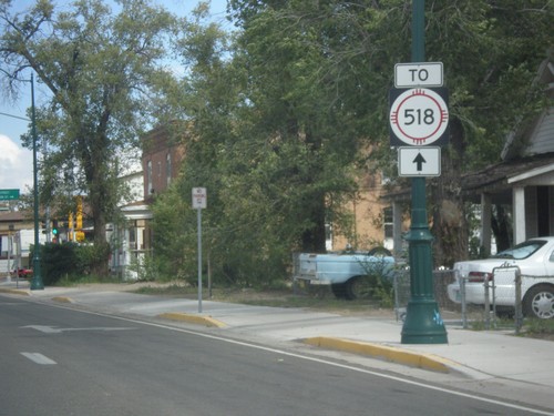
BL-25 North (Grand Ave.) at 7th St.
BL-25 North (Grand Ave.) at 7th Ave. NM-518 used to run down 7th St. in Las Vegas. Now NM-518 ends at Mills Ave., north of here, and the preferred route through Las Vegas is to take Grand Ave. north to Mills Ave.
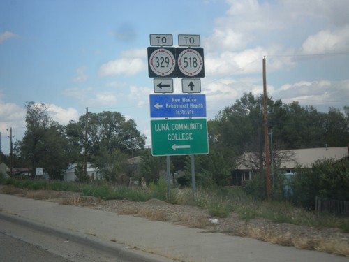
BL-25 North (Grand Ave.) at NM-329 (New Mexico Ave.)
BL-25 North (Grand Ave.) at NM-329 (New Mexico Ave.). This sign assembly says that New Mexico Ave. leads to NM-329. It appears that NM-329 runs down New Mexico Ave. and intersects Grand Ave. here, and the TO text is erroneous. Turn left on NM-329 for New Mexico Behavioral Health Institute and Luna Community College.
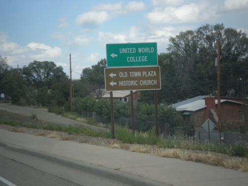
BL-25 North Approaching NM-329
BL-25 north approaching NM-329. Use NM-329 north for United World College, Old Town Plaza, and Historic Church.
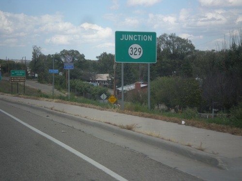
BL-25 North (Grand Ave.) Approaching NM-329
BL-25 north (Grand Ave.) approaching NM-329, in Las Vegas.
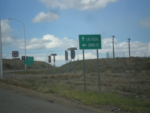
BL-25 North (Grand Ave.) at I-25 South
BL-25 North (Grand Ave.) at I-25 South to Santa Fe. Continue north on BL-25 for Las Vegas.
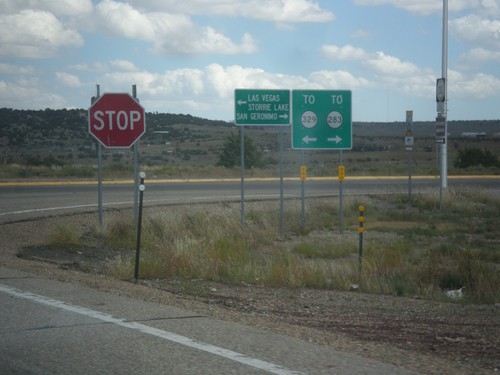
I-25 North at BL-25 - To NM-329/To NM-283
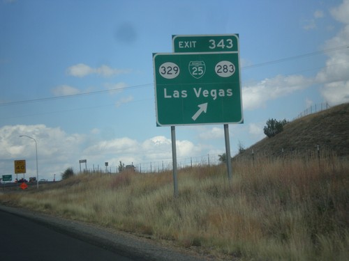
I-25 north, Exit 343 offramp. Turn right for NM-283 to San Geronimo; turn left for BL-25 and NM-329 to Las Vegas and Storrie Lake (State Park).
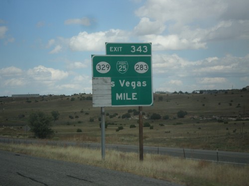
I-25 North - Exit 383
I-25 north at Exit 383 - BL-25/NM-329/NM-283/Las Vegas. This is the southern end of the Las Vegas business loop.
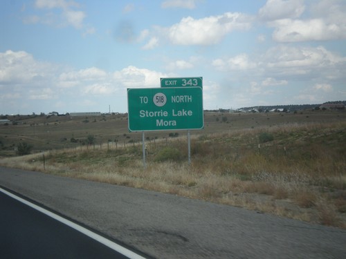
I-25 North Approaching Exit 343
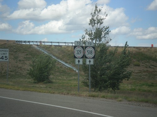
I-25 north approaching Exit 343. Use Exit 343 for NM-518 North to Mora and Storrie Lake State Park.
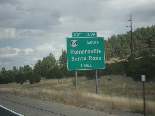
I-25 North - Exit 339
I-25 north at Exit 339 - US-85 South/Romeroville/Santa Rosa. US-84 leaves I-25 northbound here. Southbound, US-84 joins I-25 into Santa Fe.
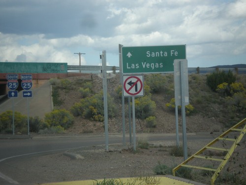
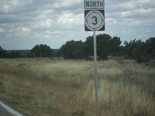
End NM-3 North at I-25
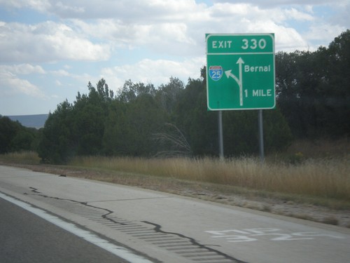
End NM-3 north at I-25. Use I-25 north for Las Vegas; I-25 south for Santa Fe.
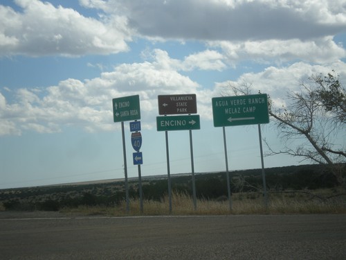
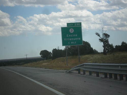
I-40 East at NM-3
I-40 east Exit 230 at NM-3. Turn right on NM-3 for Encino; turn left for Villanueva State Park, Agua Verde Ranch, and Melaz Camp.
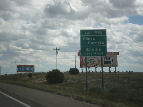
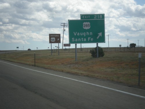
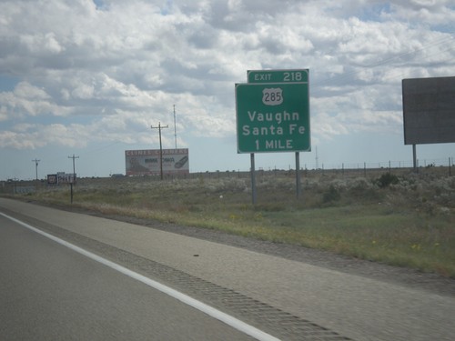
I-40 East Approaching Exit 218
I-40 east approaching Exit 218. Use Exit 218 for Clines Corners, and Encino.
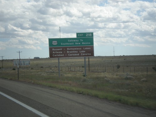
I-40 East - Gateway To Southeast New Mexico
I-40 east approaching Exit 218. US-285 - Gateway to Southeast New Mexico. Use US-285 south for Roswell, Artesia, and Carlsbad.
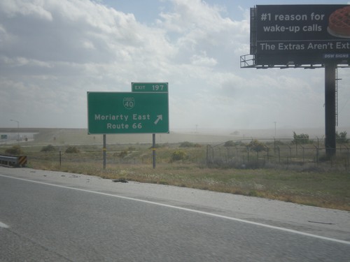
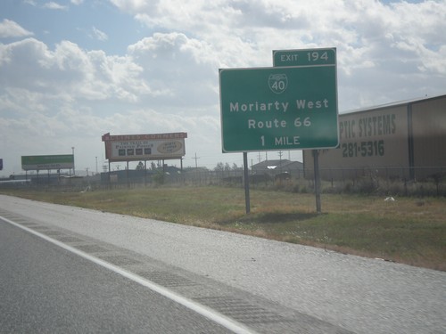
I-40 East - Exit 198
I-40 east at Exit 198 - BL-40/Moriarty East/Route 66. This is the eastern end of the Moriarty business loop.
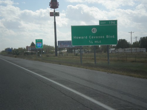
I-40 East - Exit 196
I-40 East approaching Exit 196 - NM-41/Howards Cavasos Blvd. The I-40 sign in the background is pretty common on I-40 east out of Albuquerque.
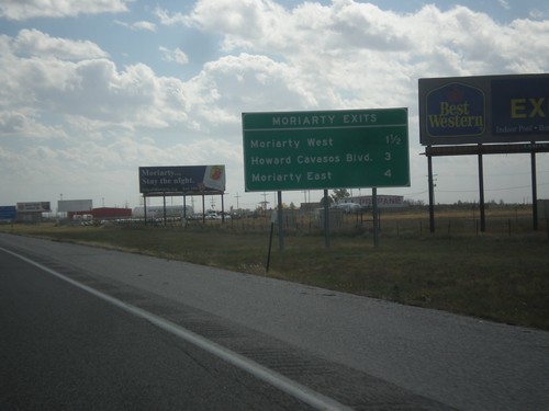
I-40 East - Moriarty Exits
Moriarty Exits on I-40 east. Moriarty West, Howard Cavasos Blvd. and Moriarty East.
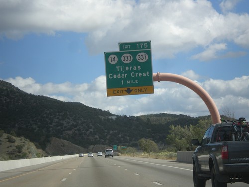
I-40 East - Exit 175
I-40 east at Exit 175 - NM-14/NM-333/NM-337/Tijeras/Cedar Crest. Use NM-14 for the Turquoise Trail National Scenic Byway and the Sandia Crest Ski Area.
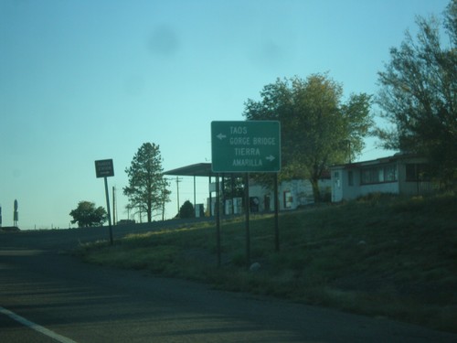
US-285 South at US-64
US-285 south at US-64 in Tres Piedras. Turn left on US-64 for Taos and (Rio Grande) Gorge Bridge. Turn right for Tierra Amarilla.
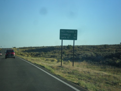
US-285 South - Distance Marker
Distance marker on US-285 south. Distance to Tres Piedras, Espanola, and Santa Fe.
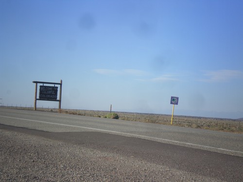
US-285 North - Welcome To Colorful Colorado
Welcome To Colorful Colorado on US-285 north. Taken at the New Mexico/Colorado line.
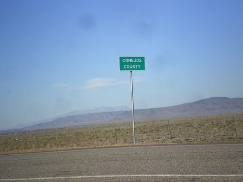
US-285 North - Conejos County
Conejos County on US-285 north at the Colorado/New Mexico line. Conejos is spanish for Rabbit.
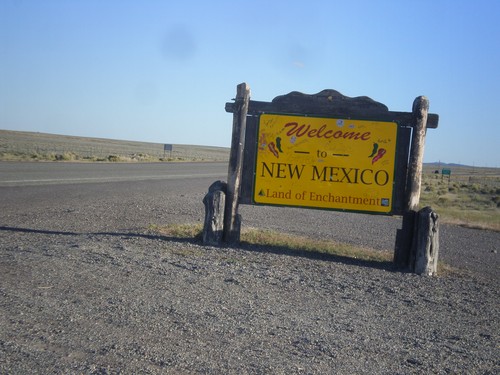
US-285 South - New Mexico Land of Enchantment
Welcome to New Mexico, Land of Enchantment on US-285 south. Taken at the Colorado/New Mexico line.
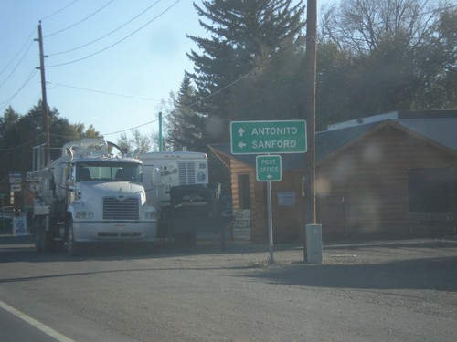
US-285 South Approaching CO-136
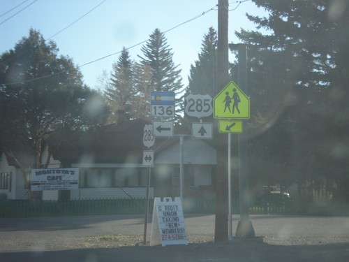
US-285 south approaching CO-136 in La Jara. Turn left for Stanford and the La Jara Post Office. Continue south on US-285 for Antonito.
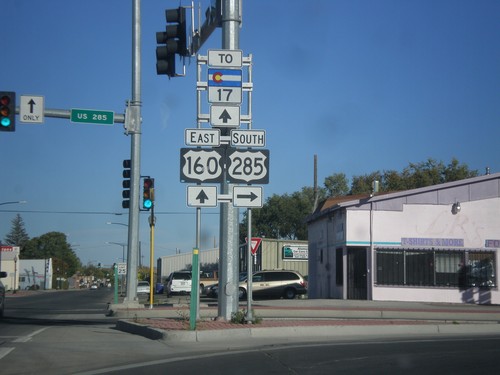
US-285 South/US-160 East at US-285
US-285 South/US-160 east at US-285 south. Turn right to continue south on US-285. Continue straight for US-160 east and CO-17.
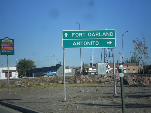
US-285 South/US-160 East at US-285 South
US-285 South/US-160 East at US-285 South to Antonito. Continue straight on US-160 for Fort Garland.
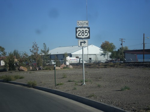
US-160 West/US-285 South Approaching US-285 South
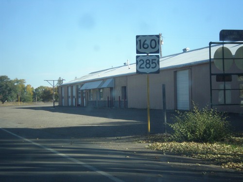
US-160 West/US-285 South approaching US-285 South in Alamosa.
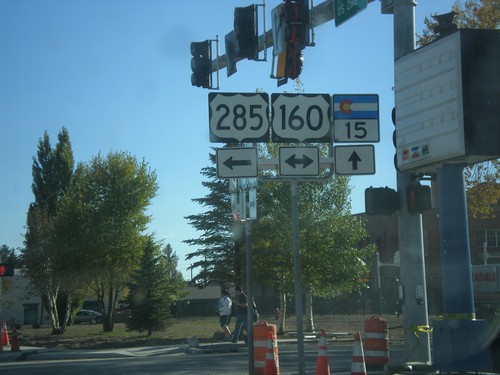
US-285 South at US-160/CO-15
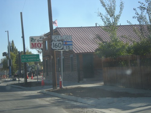
US-285 south at US-160/CO-15 in Monte Vista. US-285 south joins US-160 east to Alamosa.
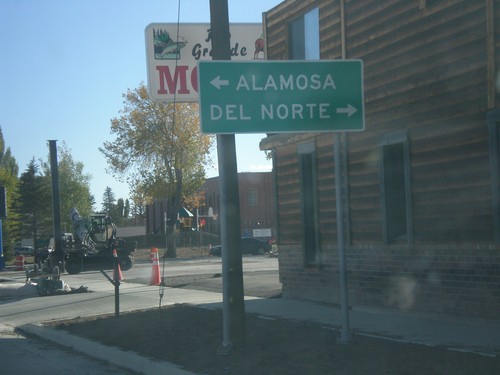
US-285 South at US-160
US-285 south at US-160 in Monte Vista. Turn right on US-160 West for Del Norte; left on US-160 East/US-285 South for Alamosa.
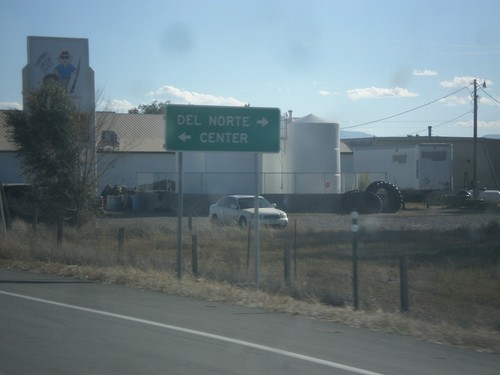
US-285 South at CO-112
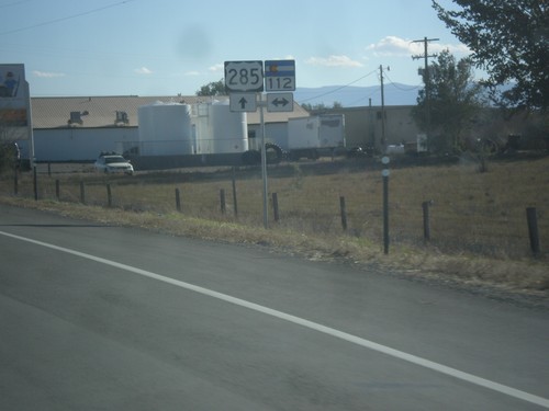
US-285 south at CO-112. Turn left on CO-112 to Center; turn right on CO-112 to Del Norte.
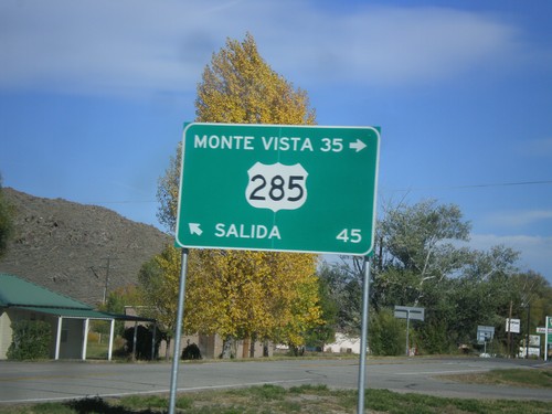
End CO-114 at US-285
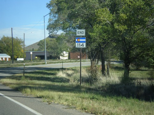
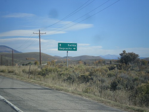
End CO-114 at US-285 in Saguache. US-285 north for Salida; US-285 south for Monte Vista.
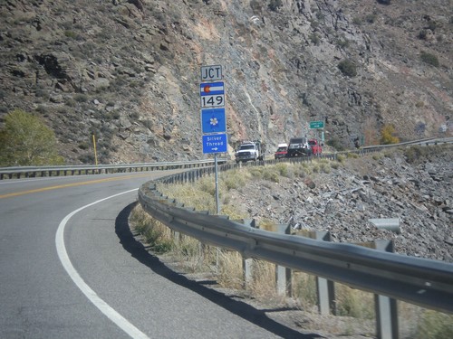
US-50 East Approaching CO-149
US-50 east approaching CO-149 in Gunnison County. CO-149 is part of the Silver Thread Scenic Byway.
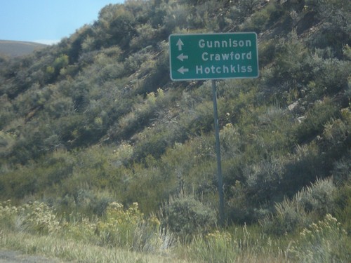
US-50 East Approaching CO-92
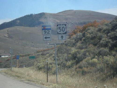
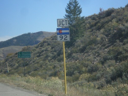
US-50 East approaching CO-92 in Gunnison County. Turn right for CO-92 to Crawford and Hotchkiss. Continue east on US-50 for Gunnison.
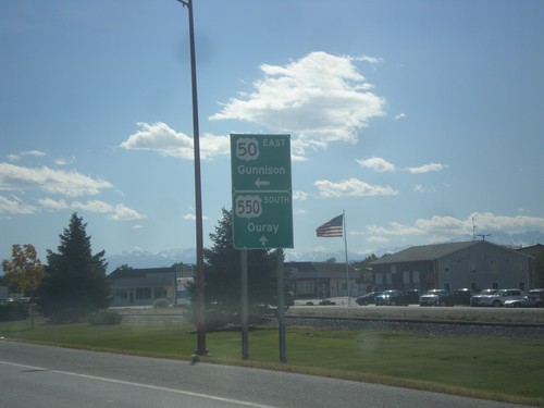
US-50 East at US-550
US-50 east at US-550. Turn right to continue east on US-50 to Gunnison; continue straight for US-550 south to Ouray. This is the northern end of US-550. US-550 continues south into New Mexico, ending at I-25 in Bernalillo.
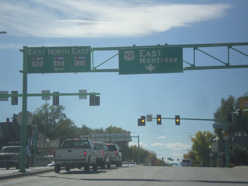
US-50 East at CO-92/CO-65/CO-133
US-50 east at CO-92/CO-65/CO-133 in Delta. Continue east on US-50 for Montrose.
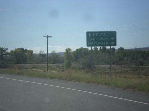
US-50 East at CO-141 South
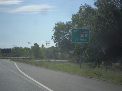
US-50 East at CO-141 South to Gateway and Naturita. Continue east on US-50 for Delta.
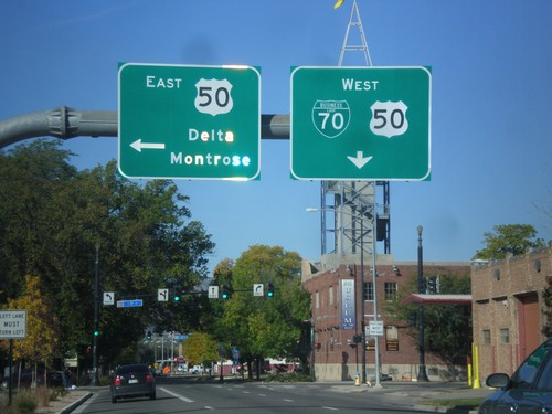
BL-70 West at US-50
BL-70 west (Ute St.) at US-50 (5th St.) in Downtown Grand Junction. Turn left on US-50 for Delta and Montrose. Continue straight on Ute St. for BL-70/US-50 west.
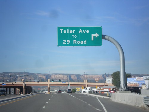
BL-70 West - 29 Road Interchange
BL-70 west at Teller Road/To 29 Road interchange, in Grand Junction.
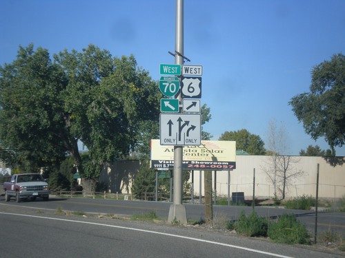
US-6 West/BL-70 West Split
US-6 West/BL-70 West Split in Grand Junction. Merge right for US-6 West (North Ave.); merge left for BL-70 West.
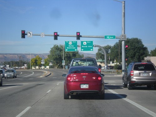
US-6/BL-70 West at US-6/BL-70 Split
US-6/BL-70 West at US-6/BL-70 Split in Grand Junction. Merge right for US-6 West/North Ave. Merge right for BL-70 West/To US-50/Delta/Montrose.
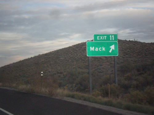
I-70 East - Exit 11
I-70 east at Exit 11 - Mack. US-6 leaves I-70 here, although it is not signed as such on the signage.
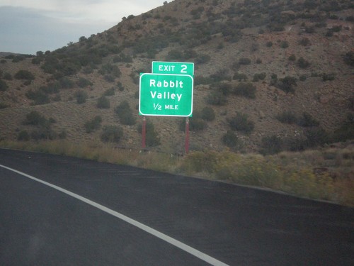
I-70 East - Exit 2
I-70 east at Exit 2 - Rabbit Valley. This is the first exit on I-70 east in Colorado.
