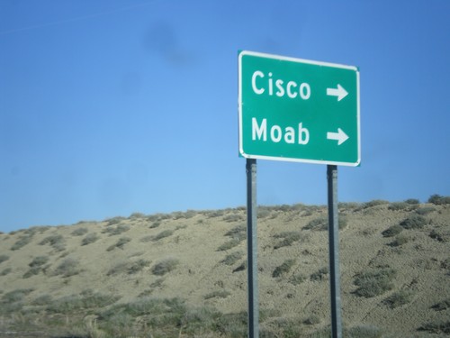
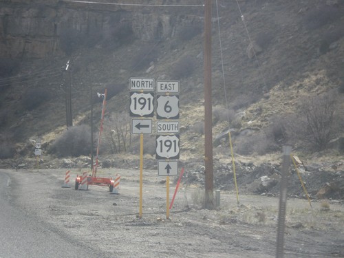
Signs From March 2014
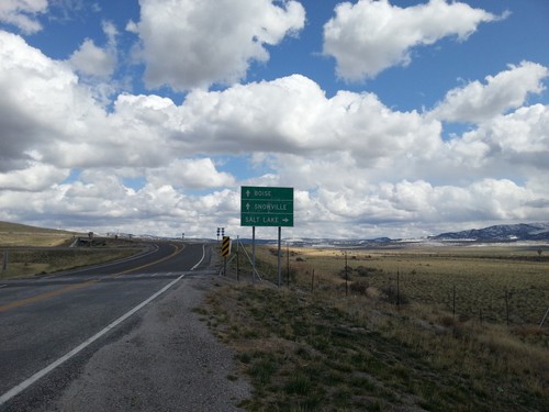
UT-30 East at I-84
UT-30 east at I-84 (Exit 5). Use I-84 west for Boise (Idaho); I-84 east for Salt Lake. Continue east on county road for Snowville. UT-30 ends here at I-84.
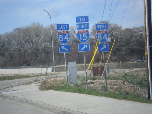
UT-26 West at I-84
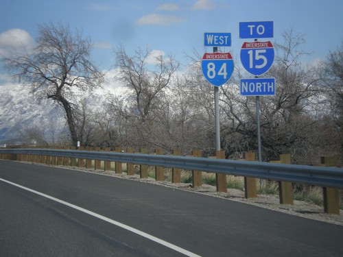
UT-26 west at I-84. Turn right for I-84 West/To I-15 North. Continue over bridge for I-84 East.
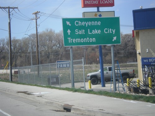
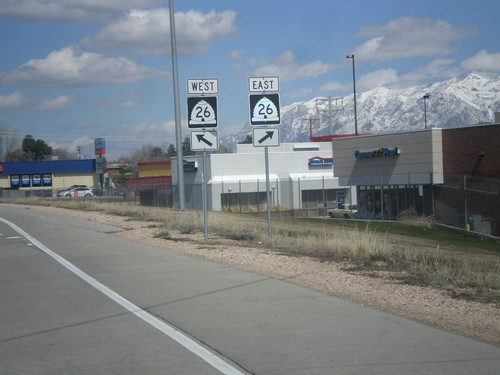
UT-26 West Approaching I-84
UT-26 West approaching I-84. Use I-84 west for Tremonton; I-84 east for Cheyenne (Wyoming). Continue west on UT-26 for Salt Lake City (via I-15 South).
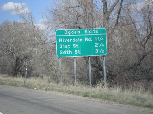
I-84 West - Ogden Exits
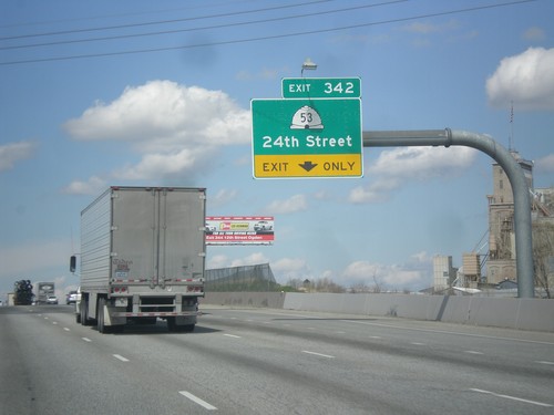
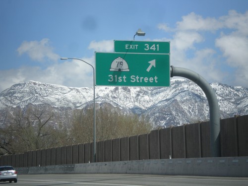
Ogden Exits on I-84 west. Next three exits: Riverdale Road, 31st St., and 24th St.
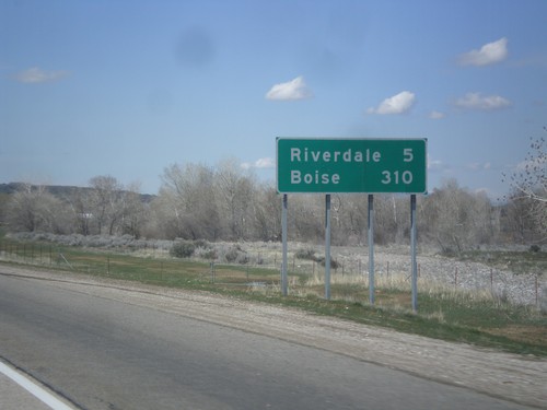
I-84 West - Distance Marker
Distance marker on I-84 west. Distance to Riverdale and Boise. This is the first appearance of Boise on a distance marker on I-84 west.
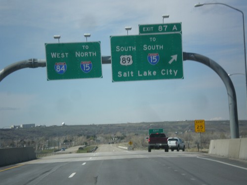
I-84 West - Exit 87A
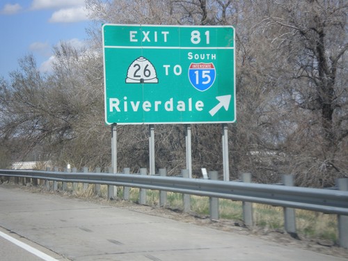
I-84 west at Exit 87A - US-89 South/To I-15 South/Salt Lake City. Continue west on I-84 for I-15 North.
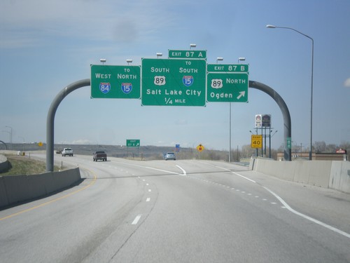
I-84 West - Exits 87A and 87B
I-84 west at Exit 87B - US-89 North/Ogden. Approaching US-89 South/To I-15 South/Salt Lake City. Continue west on I-84 for I-15 north.
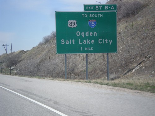
I-84 West - Exits 87A-B
I-84 west approaching Exits 87A-B - US-89/To I-15 South/Ogden/Salt Lake City.
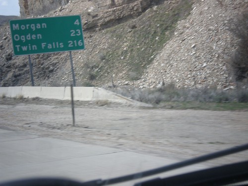
I-84 West - Distance Marker
Distance marker on I-84 west. Distance to Morgan, Ogden, and Twin Falls (Idaho).
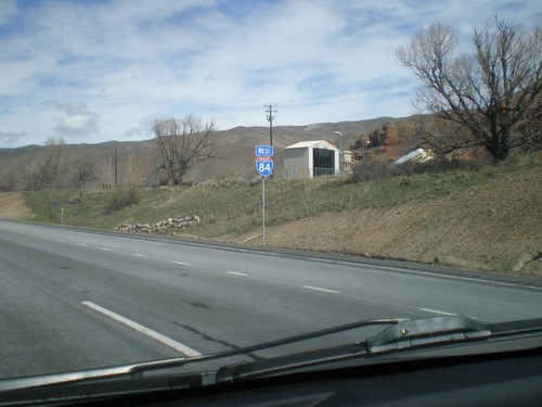
I-84 West - Utah
First shield on I-84 west. The picture is fuzzy, but the shield contains the word UTAH.
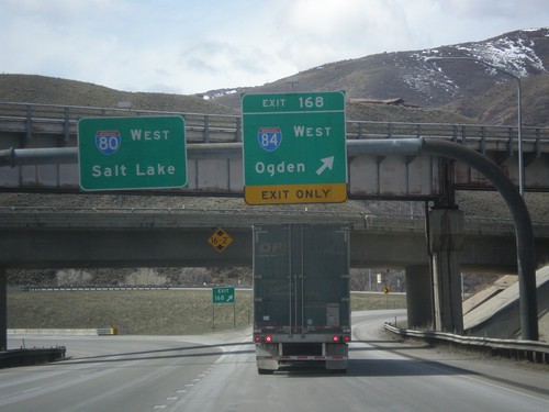
I-80 West at I-84
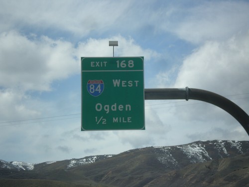
I-80 west at I-84 junction. Use Exit 168 for I-84 West/Ogden; continue west on I-80 for Salt Lake.
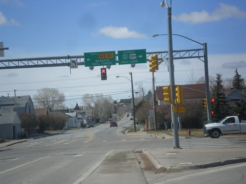
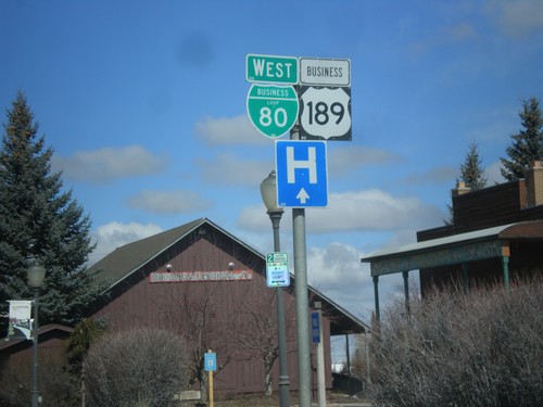
BL-80/Bus US-189 at WY-89/To WY-150
BL-80/Bus US-189 at WY-89/To WY-150. Turn left for WY-89 South/(To)WY-150 to Wasatch National Forest. Turn right for BL-80 East/Bus. US-189 South to Salt Lake.
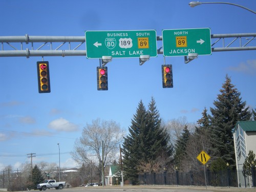
BL-80/Bus. US-189 West At WY-89
BL-80/Bus. US-189 West at WY-89. Turn right for WY-89 North to Jackson; left for WY-89 South/BL-80/Bus. US-189 to Salt Lake.
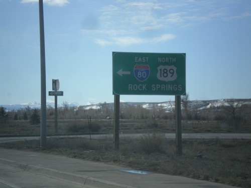
End BL-80/Bus. US-189 East at I-80 East
End BL-80/Bus. US-189 East at I-80 East/US-189 North to Rock Springs.
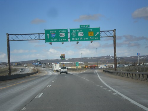
I-80 West - Exit 6
I-80 west at Exit 6 - BL-80/Business US-189/To WY-89/Bear River Drive. This is the eastern end of the Evanston business loop. Evanston is the last city in Wyoming along I-80 west.
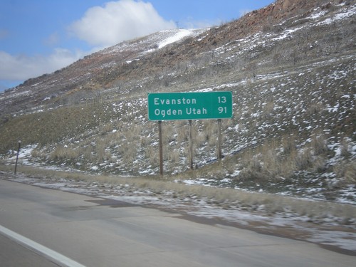
I-80 West - Distance Marker
Distance marker on I-80 west. Distance to Evanston, and Ogden, Utah (via I-84).
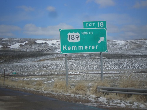
I-80 West - Exit 18
I-80 west at Exit 18 - US-189 North/Kemmerer. US-189 south joins I-80 west into Utah.
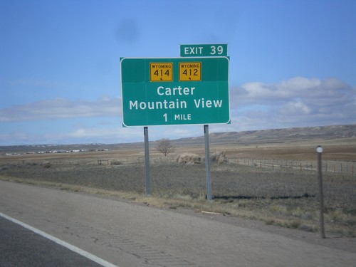
I-80 West - Exit 39
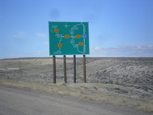
I-80 west approaching Exit 39 - WY-412/WY-414/Carter/Mountain View. The Wyoming shields on the interchange sign contain the bucking cowboy. Most Wyoming state highway shields on guide signs omit the cowboy.
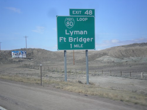
I-80 West - Exit 48
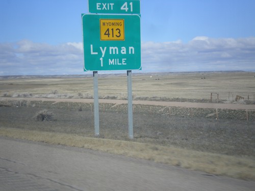
I-80 west approaching Exit 48 - BL-80/Lyman/Fort Bridger. This is the eastern end of the Bridger Valley business loop. BL-80 goes through Lyman and Fort Bridger.
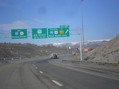
I-80 West - Exit 107 and Exit 104
I-80 west at Exit 104 - BL-80/Business US-30/To WY-430/Pilot Butte Ave. Approaching Exit 104 - US-191 North/Elk St. I-80/US-30 continues west towards Green River. This is the western end of the Rock Springs business loop.
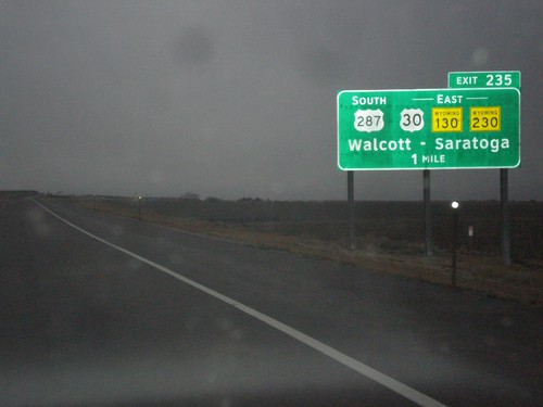
I-80 West - Exit 235
I-80 west approaching Exit 235 - US-287 South/US-30/WY-130/WY-230 East/Walcott/Saratoga.
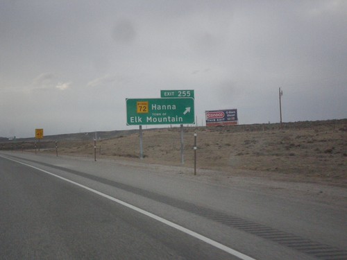
I-80 West Exit 255
I-80 west approaching Exit 255 - WY-72/Hanna/Town of Elk Mountain. The word TOWN OF was added to the sign when the font was converted to Clearview.
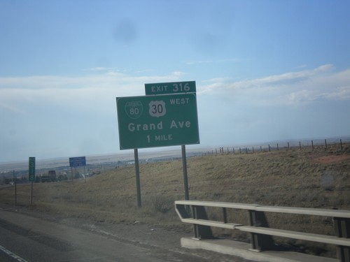
I-80 West - Exit 316
I-80 west approaching Exit 316 - BL-80/US-30 West/Grand Ave. This is the eastern end of the Laramie business loop. US-30 leaves I-80 westbound here and rejoins I-80 at Walcott Junction.
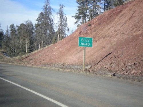
I-80 West - Elevation 8640
I-80 west - Elevation 8640. This is the highest point on all of I-80. The summit lies between Cheyenne and Laramie in the Sherman Mountains.
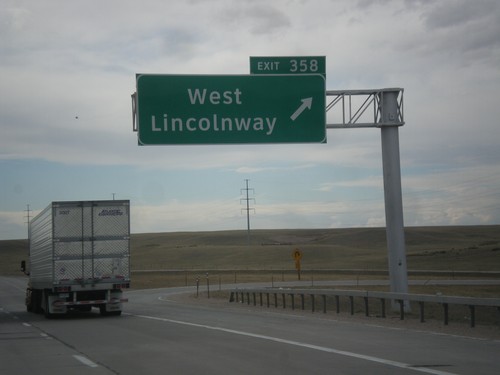
I-80 West - Exit 358
I-80 west at Exit 358 - West Lincolnway. This is the western end of the Cheyenne business loop. US-30 rejoins I-80 here westbound.
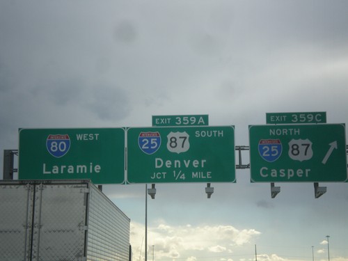
I-80 West - Exits 359C and 359A
I-80 west at Exit 359C - I-25/US-87 North/Casper. Approaching Exit 359A - I-25/US-87 South/Denver. Continue west on I-80 for Laramie.
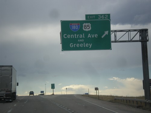
I-80 West - Exit 362
I-80 west at Exit 362 - I-180/US-85/Central Ave./Greeley. I-180 in Cheyenne is the rare interstate highway that is not a freeway, rather a city street with stoplights.
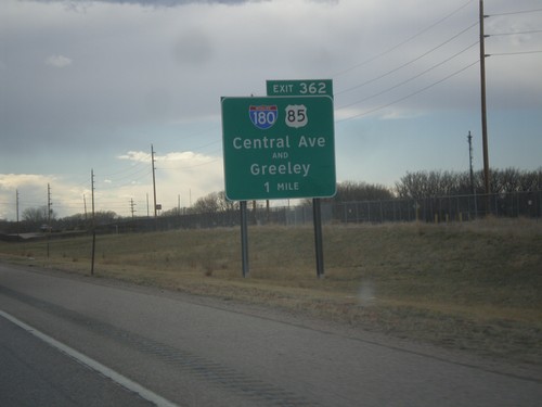
I-80 West - Exit 362
I-80 west approaching Exit 362 - I-180/US-85/Central Ave./Greeley (Colorado). Notice the word AND between Central Ave. and Greeley. This wording also occurs at the US-287 interchange with I-80 in Laramie.
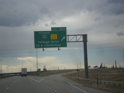
I-80 West - Exit 364
I-80 west at Exit 364 - BL-80/WY-212/College Drive/To E. Lincolnway. This is the eastern edge of the Cheyenne business loop. College Drive acts as a beltway around the northeast side of Cheyenne.
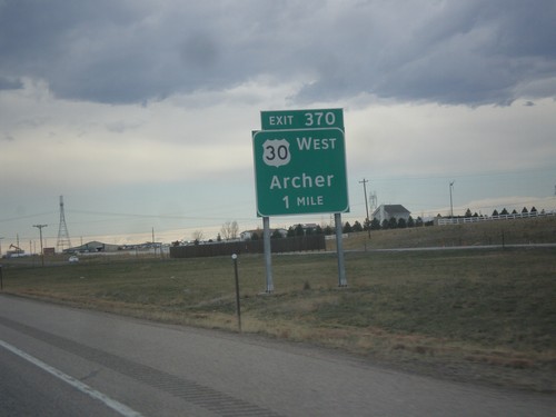
I-80 West - Exit 370
I-80 west approaching Exit 370 - US-30 West/Archer. US-30 leaves I-80 westbound here, and rejoins on the west side of Cheyenne.
I-80 West - Welcome To Wyoming
Welcome To Wyoming - Forever West on I-80 west. Taken at the Nebraska-Wyoming state line.
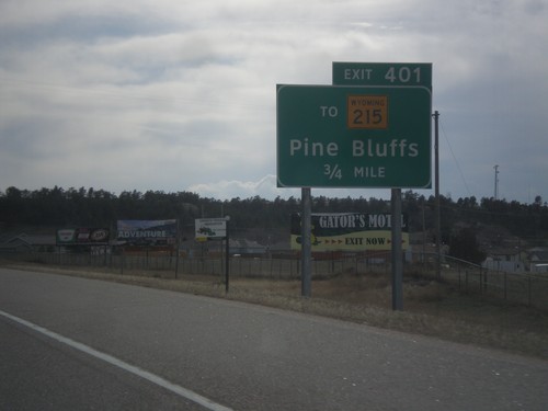
I-80 West - Exit 401
I-80 west approaching Exit 401 - To WY-215/Pine Bluffs. This is the first exit in Wyoming along I-80 west. US-30 joins I-80 westbound at Exit 401 into Cheyenne.
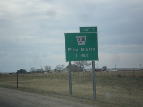
I-80 West - Exit 1
I-80 west approaching Exit 1 - NE-53B Link/Pine Bluffs. This is the last exit on I-80 west in Nebraska.
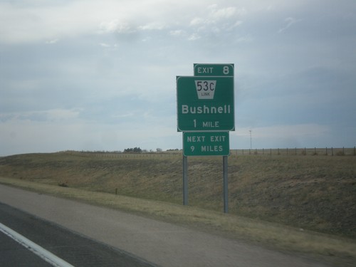
I-80 West - Exit 8
I-80 west approaching Exit 8 - NE-53C Link/Bushnell. Next exit along I-80 west is 9 miles, at Pine Bluffs.
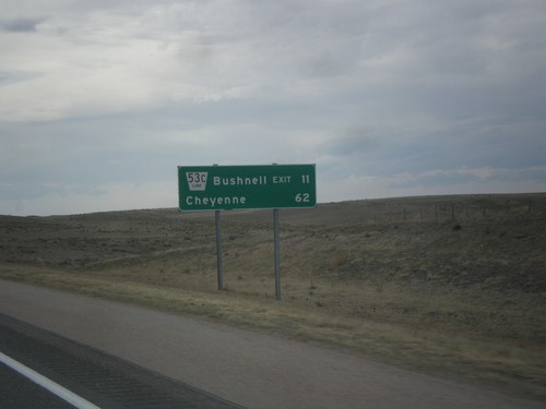
I-80 West - Distance Marker
Distance marker on I-80 west. Distance to NE-53C Link/Bushell Exit and Cheyenne (Wyoming).
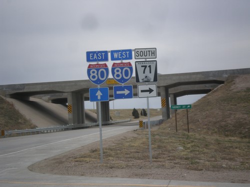
NE-71 South at I-80
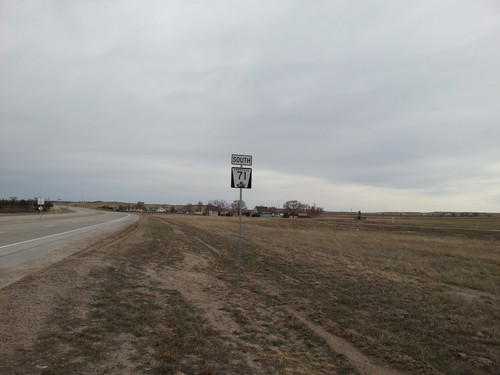
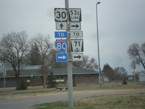
NE-71 south at I-80. Turn right for I-80 West/NE-71 South; continue under overpass for I-80 East.
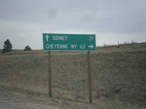
NE-71 South at I-80
NE-71 south at I-80. Use I-80 West/NE-71 South for Cheyenne, WY; I-80 East for Sidney.
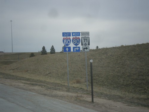
NE-71 South Approaching I-80
NE-71 south approaching I-80. NE-71 south joins I-80 west through Kimball.
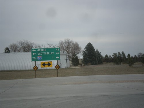
End NE-53E Link at NE-71
End NE-53E Link at NE-71. Use NE-71 north for Gering and Scottsbluff. Use NE-71 south for I-80.
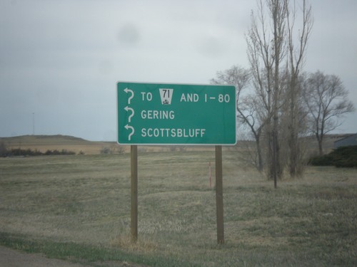
NE-53E Link - Roundabout
Roundabout on NE-53E Link. Enter roundabout for To NE-71 and I-80, Gering, and Scottsbluff. The roundabout only connects two segments of NE-53E Link. Notice the usage of the word I-80 instead of a shield.
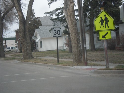
Chestnut St. North Approaching US-30
Chestnut St. North approaching US-30 in Kimball. Chestnut St. used to be the route of NE-71 before it was rerouted east of town.
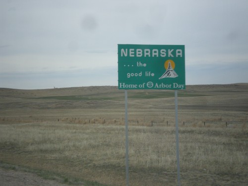
NE-71 North - Nebraska
Nebraska…The Good Life on NE-71 North. Taken at the Colorado-Nebraska stateline.
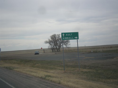
CO-14 West/CO-71 North at CO-71 North
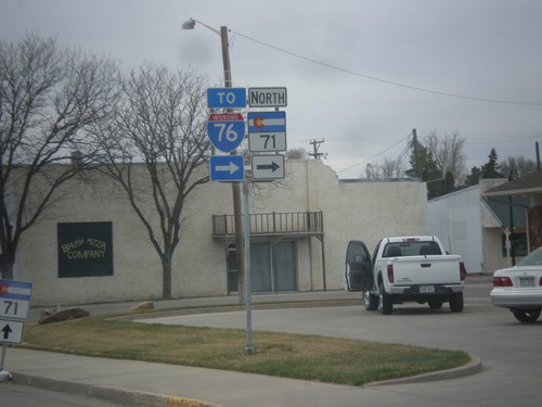
CO-14 West/CO-71 North at CO-71 North. Turn right on CO-71 north for Kimball (Nebraska). Continue west on CO-14 for Ault.
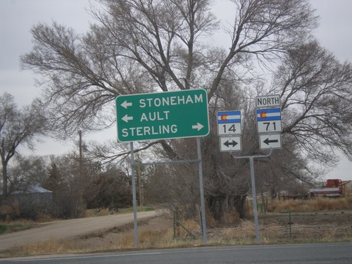
CO-71 North at CO-14
CO-71 north at CO-14. Use CO-14 east for Sterling; CO-14 west/CO-71 north for Stoneham and Ault. CO-71 north joins CO-14 to Stoneham.
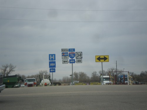
CO-71 North at US-34
CO-71 North at US-34. Turn right on US-34 for I-76 east. Turn left for CO-71 North/US-34 West.
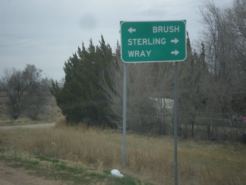
CO-71 North Approaching US-34
CO-71 north approaching US-34. Turn right for US-34 to Sterling and Wray; left for US-34 West/CO-71 North to Brush. CO-71 joins US-34 west through Brush.
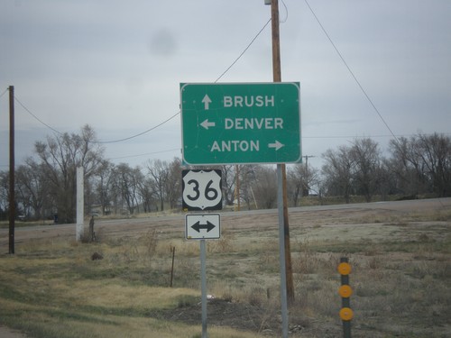
CO-71 North Approaching US-36
CO-71 north approaching US-36. Turn left for US-36 west to Denver; right on US-36 east to Anton. Continue north on CO-71 for Brush.
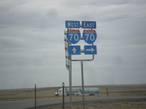
BL-70/US-40 West/US-287 North at I-70
BL-70/US-40 West/US-287 North at I-70. Turn right for I-70 East; continue over overpass for I-70/US-40 East/US-287 North. This is the western end of the Limon business loop.
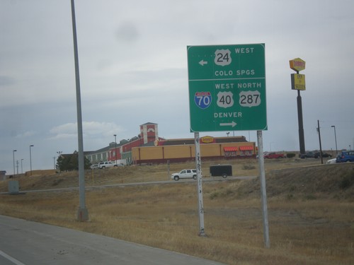
BL-70/US-24/US-40 West/US-287 North at US-24 West
BL-70/US-24/US-40 West/US-287 North at US-24 West in Limon. Turn left to continue west on US-24 to Colorado Springs. Turn right for BL-70/US-40 West/US-287 North to Denver and I-70.
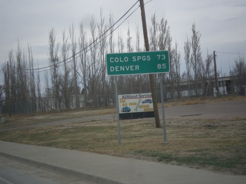
BL-70/US-24/US-40 West/US-287 North - Distance Marker
Distance marker on BL-70/US-24/US-40 West/US-287 North. Distance to Colorado Springs (via US-24) and Denver (via I-70).
BL-70/US-24/US-40 West/US-287 North/CO-71 South at CO-71 South
BL-70/US-24/US-40 West/US-287 North/CO-71 South at CO-71 South in Limon.
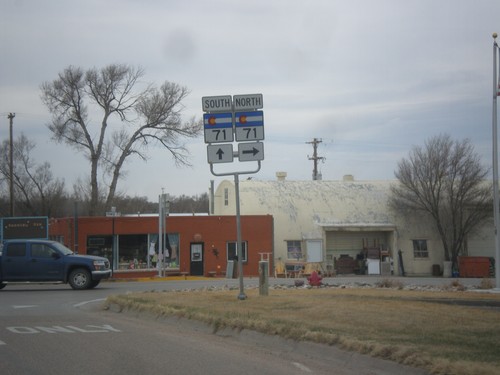
BL-70/US-24/US-40 West/US-287 North at CO-71
BL-70/US-24/US-40 West/US-287 North at CO-71. CO-71 joins BL-70/US-24/US-40 West/US-287 North through Limon.
BL-70/US-24/US-40 West/US-287 North Approaching I-70
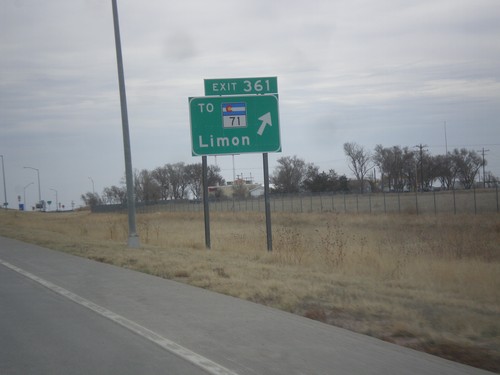
BL-70/US-24/US-40 West/US-287 North approaching I-70 (Exit 361).
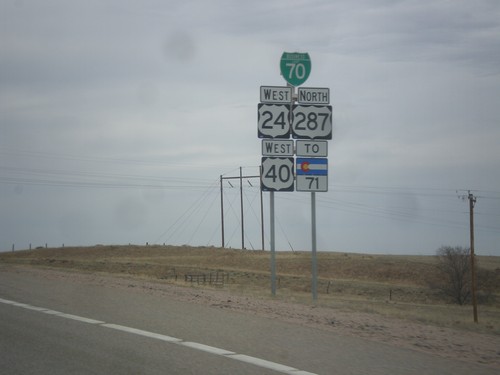
BL-70/US-24/US-40 West/US-287 North/To CO-71
BL-70/US-24/US-40 West/US-287 North/To CO-71 approaching Limon, Colorado.
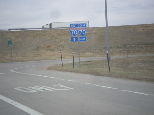
US-40 West/US-287 North at I-70/US-24/BL-70
US-40 West/US-287 North at I-70/US-24/BL-70. Turn right for I-70/US-24 East. Continue under overpass for I-70 west. US-40/US-287 joins US-24/BL-70 through Limon. This is the eastern end of the Limon business loop.
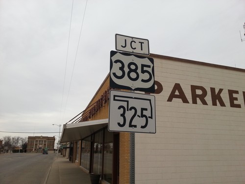
US-56/US-64/US-412 West Approaching US-385/OK-325
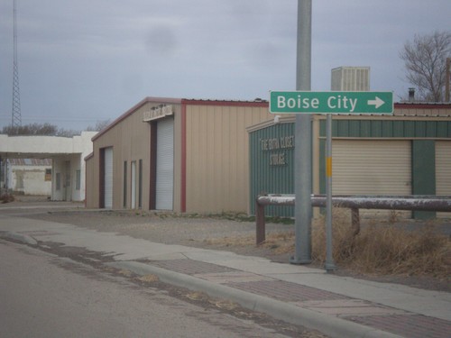
US-56/US-64/US-412 West approaching US-385/OK-325 approaching roundabout at the Cimarron County courthouse in Boise City.
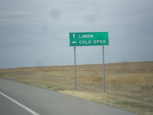
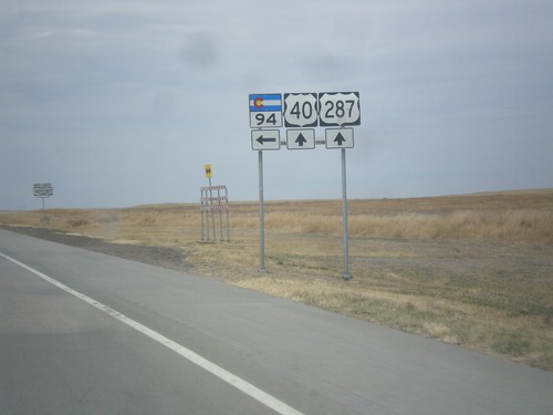
US-40 West/US-287 North at CO-94
US-40 West/US-287 North at CO-94. Turn left on CO-94 west to Colorado Springs; continue on US-40/US-287 for Limon.
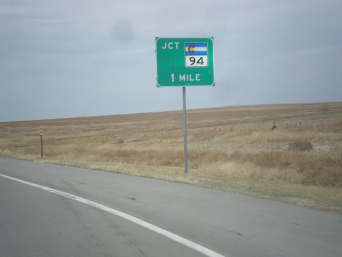
US-40 West/US-287 North Approaching CO-94
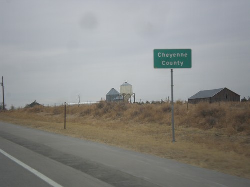
US-40 West/US-287 North approaching CO-94 in Cheyenne County.
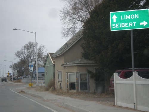
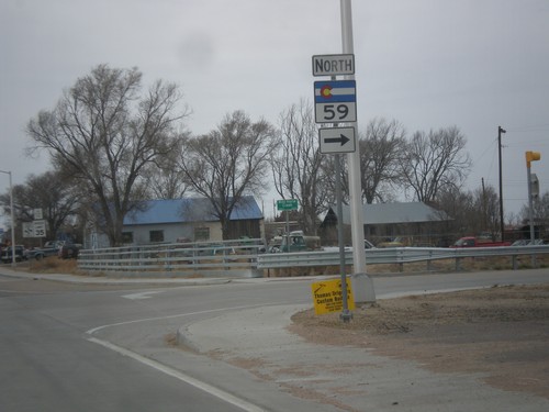
US-40 East/US-287 North - CO-59
US-40 East/US-287 North approaching CO-59. Turn north on CO-59 for Seibert. Continue on US-40 East/US-287 North for Limon.
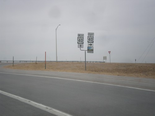
US-287 North at US-40
US-287 north at US-40. US-40 joins US-287 north to Limon. Then both highways merge onto I-70 towards Denver. This is the southern end of the High Plains Highway which connects Kit Carson and Julesburg via US-40 and US-385.
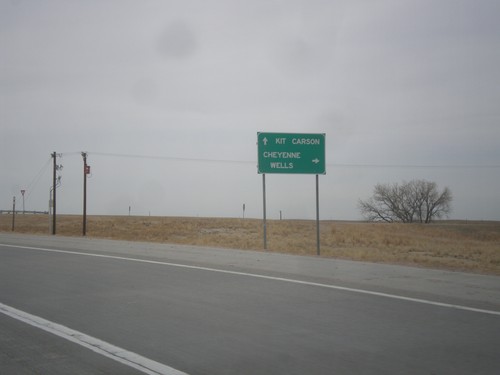
US-287 North Approaching US-40
US-287 north approaching US-40. Use US-40 east for Cheyenne Wells; use US-40 west/US-287 north for Kit Carson.
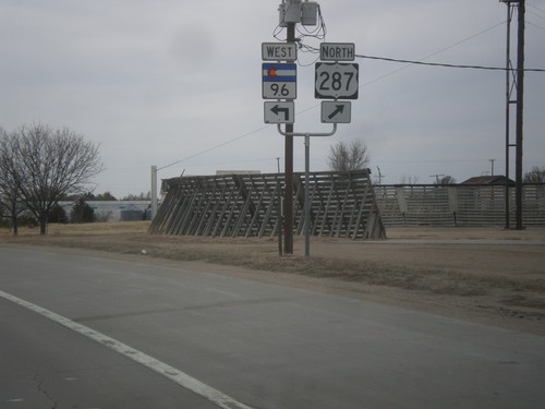
US-287 North/CO-96 West at US-287 North
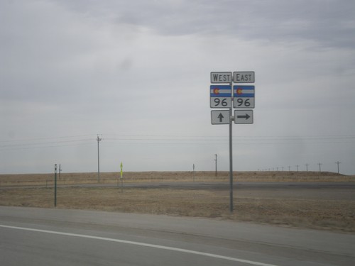
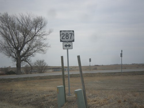
US-287 North/CO-96 West at US-287 North in Eads. Merge right to continue north on US-287.
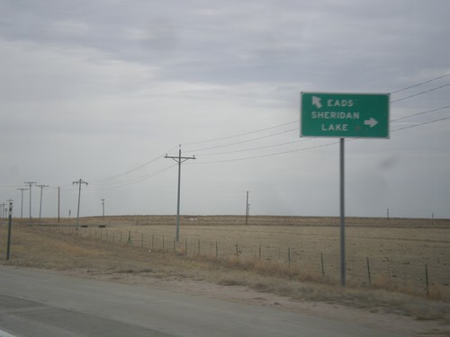
US-287 North at CO-96
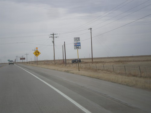
US-287 north at CO-96. Use CO-96 east to Sheridan Lake. Use US-287 North/CO-96 West to Eads. CO-96 joins US-287 into Eads.
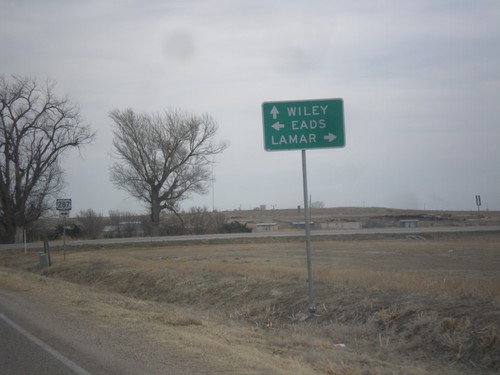
CO-196 East at US-287
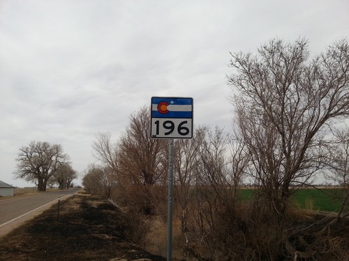
CO-196 east at US-287. Turn right for US-287 south to Lamar; left for US-287 north to Eads. Continue on CO-196 east to Wiley.
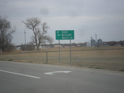
US-287 North at CO-196
US-287 north at CO-196. Turn right on Wiley; turn left for McClave. Continue on US-287 North to Eads.
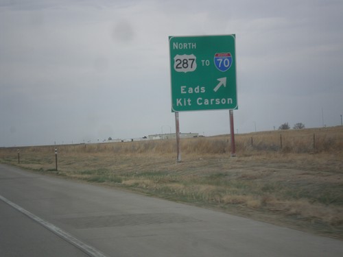
US-50 West/US-287 North at US-287 North
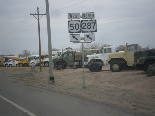
US-50 West/US-287 North at US-287 North/To I-70/Eads/Kit Carson.
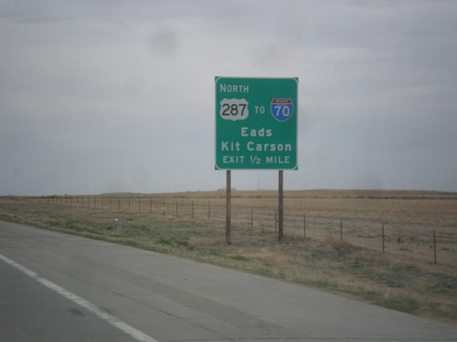
US-50 West/US-287 North Approaching US-287 North
US-50 West/US-287 North approaching US-287 North. Use US-287 north for I-70/Eads/Kit Carson.
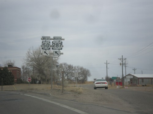
US-50 West/US-287 North at CO-196
US-50 West/US-287 North at CO-196. Merge left to continue on US-50/US-287.
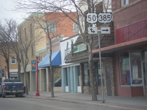
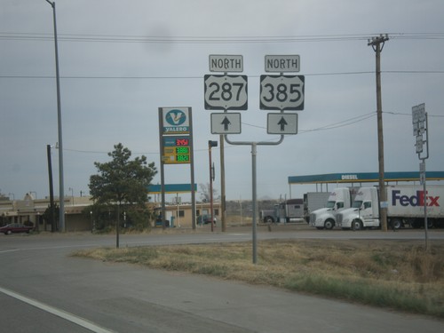
US-287/US-385 North at US-50
US-287/US-385 North at US-50 in Lamar. US-385 north joins US-50 east; US-287 north joins US-50 west.
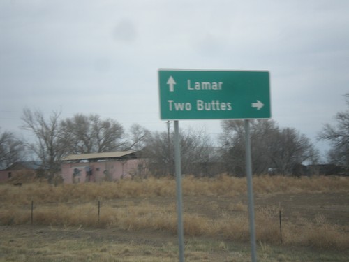
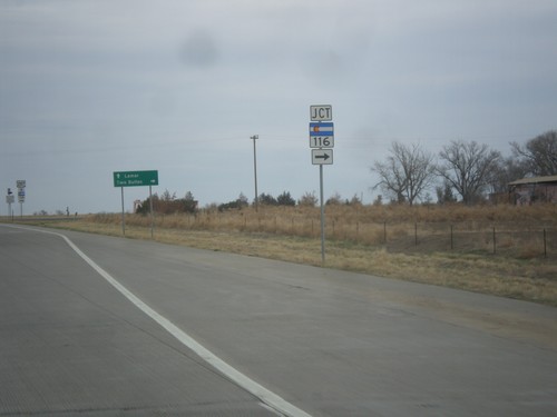
US-287/US-385 North at CO-116
US-287/US-385 North at CO-116 east to Two Buttes. Continue north on US-287/US-385 to Lamar.
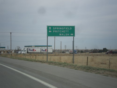
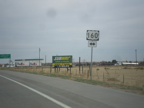
US-287/US-385 North at US-160
US-287/US-285 north at US-160. Use US-160 west to Pritchett; use US-160 east to Walsh. Continue north on US-287/US-385 for Springfield.
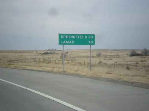
US-287/US-385 North - Distance Marker
Distance marker to Springfield and Lamar on US-287/US-385 north at the Oklahoma-Colorado stateline.
US-287/US-385 North - Baca County
Baca County on US-287/US-385 north at the Oklahoma - Colorado stateline.
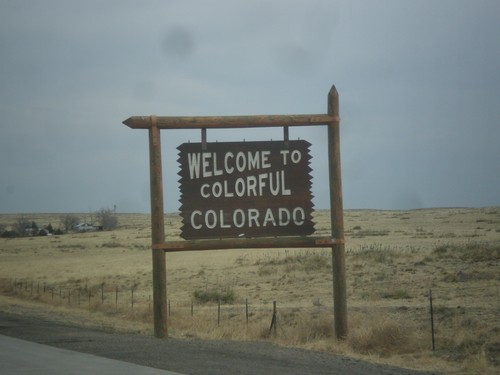
US-287/US-385 North - Welcome To Colorado
Welcome To Colorful Colorado on US-287/US-385 North, at the Oklahoma - Colorado stateline.
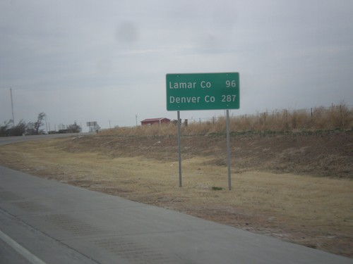
US-287/US-385 North/OK-3 East - Distance Marker
Distance marker on US-287/US-385 North/OK-3 east. Distance to Lamar, CO and Denver, CO.
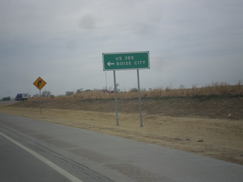
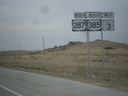
US-287 North at US-385/OK-3
US-287 north at US-385/OK-3 junction. OK-3 joins US-287 north to the Oklahoma - Colorado line. US-385 joins US-287 north to Lamar, Colorado. Notice the route US-385 is spelled out instead of displayed in a typical shield.
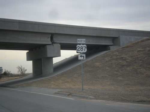
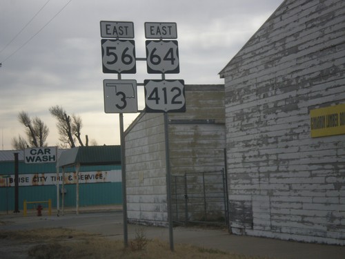
US-56/US-64/US-412/OK-3 East at US-287 North
US-56/US-64/US-412/OK-3 East at US-287 North. This is the north onramp onto the Boise City bypass.
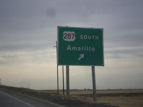
US-56/US-64/US-412/OK-3 East at US-287 South
US-56/US-64/US-412/OK-3 East at US-287 South to Amarillo, Texas. This interchange is part of the recently completed Boise City Bypass, in which US-287 traffic is routed around downtown Boise City.
US-56/US-64/US-412/OK-3 East Approaching US-287
US-56/US-64/US-412/OK-3 East approaching US-287 in Boise City.
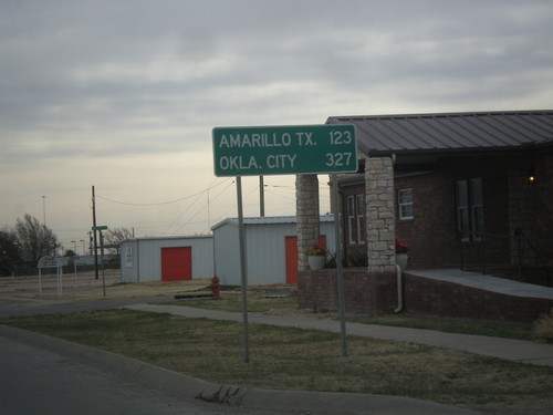
US-56/US-64/US-412/OK-3 East - Distance Marker
Distance marker on US-56/US-64/US-412/OK-3 East. Distance to Amarillo, TX and Oklahoma City.
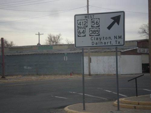
US-56/US-64/US-412/OK-3/US-385 - South Exit of Boise City Roundabout
US-56/US-64/US-412/OK-3/US-385 - south exit of the Boise City roundabout. Turn right for US-56/US-64/US-412 West/US-385 South to Clayton, NM and Dalhart, TX. This sign is white as opposed to the usual green sign.
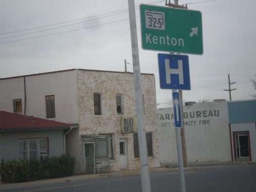
US-56/US-64/US-412/OK-3/US-385 at OK-325 - West Exit of Boise City Roundabout
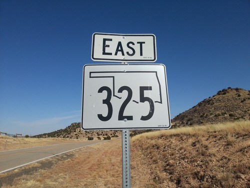
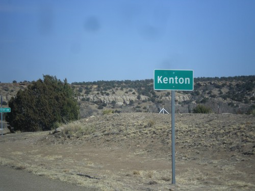
US-56/US-64/US-412/OK-3/US-385 at OK-325 the west exit of the Boise City Roundabout. Turn right for OK-325 West to Kenton.
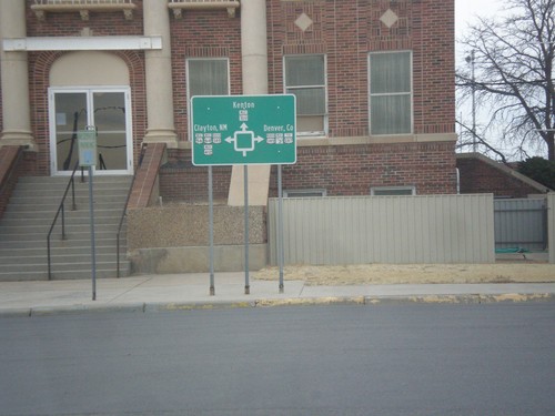
US-56/US-64/US-412/OK-3 East at US-385/OK-325
Roundabout diagram in front of the Cimarron County Courthouse in Boise City.
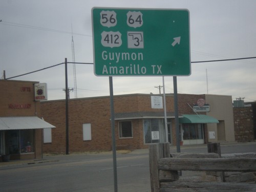
US-56/US-64/US-412/OK-3/US-385 - East Exit of Boise City Roundabout
US-56/US-64/US-412/OK-3/US-385 at east exit of Boise City roundabout. Turn right for US-56/US-64/US-412/OK-3 East to Guymon and Amarillo, Texas.
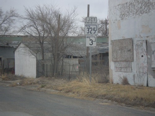
US-56/US-64/US-385/US-412 at OK-3/OK-325
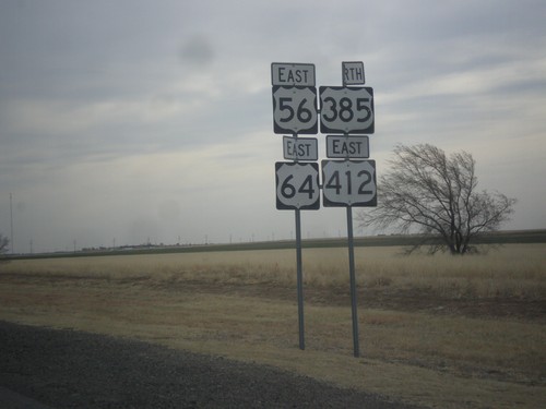
US-56/US-64/US-385/US-412 approaching OK-3/OK-325 in Boise City.
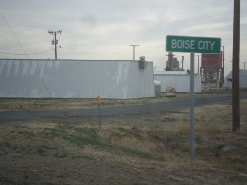
US-56/US-64/US-412 East/US-385 North - Boise City
Entering Boise City on US-56/US-64/US-412 East/US-385 North.
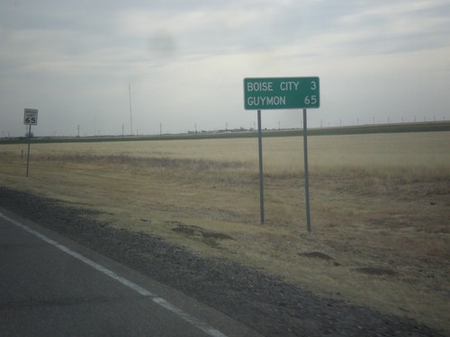
US-56/US-64/US-412 East/US-385 North - Distance Marker
Distance marker on US-56/US-64/US-412 East/US-385 North. Distance to Boise City and Guymon. Speed limit on this stretch of highway is 65 MPH.
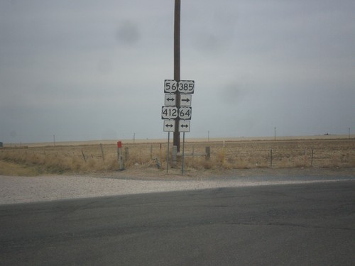
US-385 North at US-56/US-64/US-412
US-385 North at US-56/US-64/US-412. Turn left for US-56/US-64/US-412 west; right to continue north on US-385 with US-56/US-64/US-412 east.
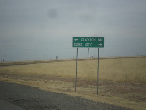
US-385 North At US-56/US-64/US-412
US-385 North At US-56/US-64/US-412. Turn left for US-56/US-64/US-412 west to Clayton, NM. Turn right for US-56/US-64/US-412 East/US-385 North to Boise City.
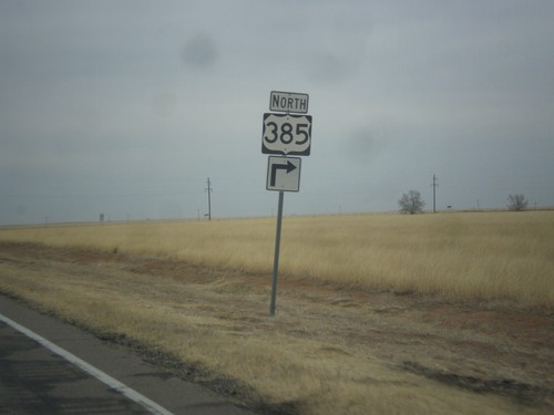
US-385 North at US-56/US-64/US-385/US-412
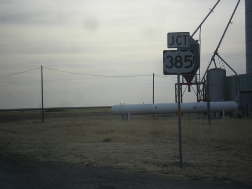
US-385 North at US-56/US-64/US-385/US-412 in Cimarron County.
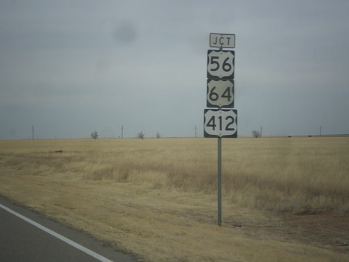
US-385 North Approaching US-56/US-64/US-412
US-385 North approaching US-56/US-64/US-412 in Cimarron County.
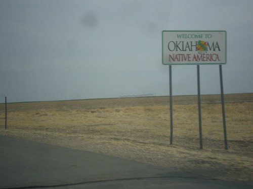
US-385 North - Welcome To Oklahoma
Welcome to Oklahoma - Native America on US-385 north. Taken at the Texas - Oklahoma state line.
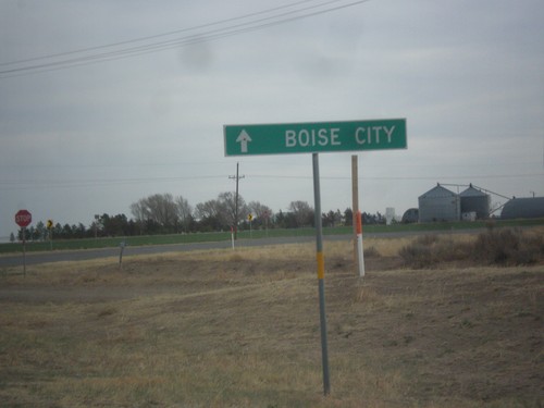
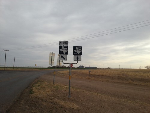
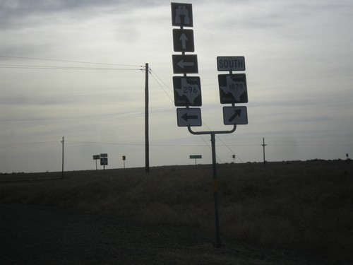
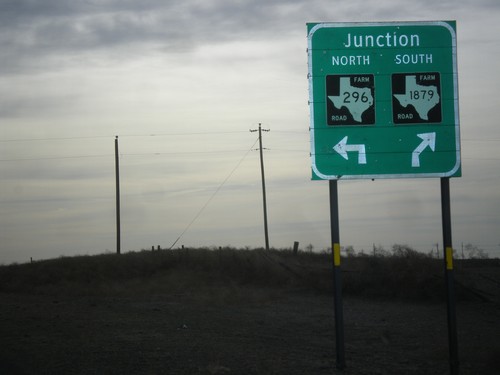
FM-296 East Approaching FM-2586
FM-296 east approaching FM-2586. Continue straight on FM-296 for Boise City (Oklahoma).
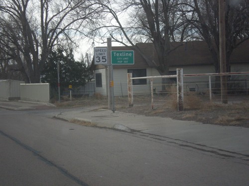
US-87 South - Texline City Limit
Texline City Limit on US-87 south. Texline is right on the New Mexico - Texas line.
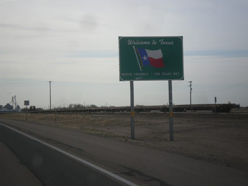
US-87 South - Welcome To Texas
Welcome To Texas on US-87 south. Taken at the New Mexico - Texas state line.
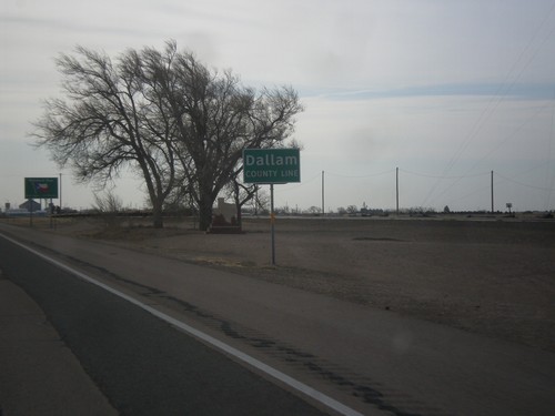
US-87 South - Dallam County Line
Dallam County Line on US-87 South. Taken at the New Mexico - Texas state line.
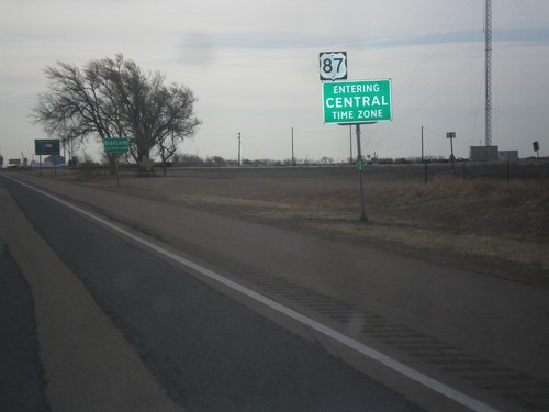
US-87 South - Central Time Zone
Central Time Zone on US-87 south. Taken at the New Mexico - Texas state line.
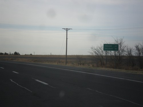
US-87 East - Distance Marker
Distance marker on US-87 east. Distance to Texline and Dalhart, both of which are in Texas. This is the last distance marker along US-87 east in New Mexico.
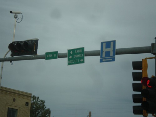
US-87 West at US-56/US-64/US-412
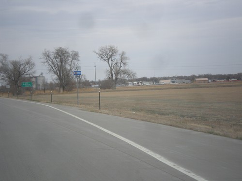
US-87 west at US-56/US-64/US-412. Turn right for US-56/US-64/US-412 east to Boise City (Oklahoma); left for US-56/US-412 west to Springer; straight for US-64/US-87 west to Raton.
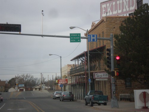
US-64/US-56/US-412 West at US-87
US-64/US-56/US-412 West at US-87. Turn right on US-64/US-87 East to Raton; straight for US-56/US-412 west to Springer; left for US-87 east to Dalhart (Texas).
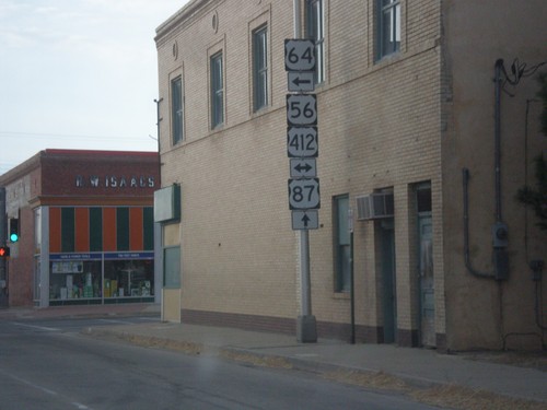
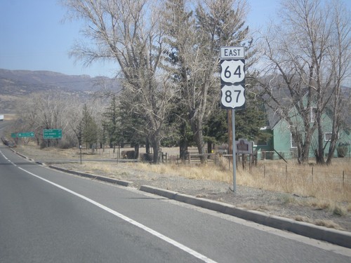
US-64/US-87 East at US-56/US-412
US-64/US-87 East at US-56/US-412 in Clayton. Turn left to continue east on US-64.
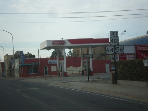
US-64/US-87 East at US-56/US-412
US-64/US-87 East at US-56/US-412. Turn left to continue east on US-64, which joins US-56/US-412. Continue straight to continue east on US-87.
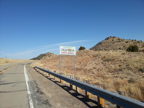
OK-325 East - Welcome To Oklahoma
Welcome To Oklahoma - Native America on OK-325 east. Taken at the New Mexico - Oklahoma state line.
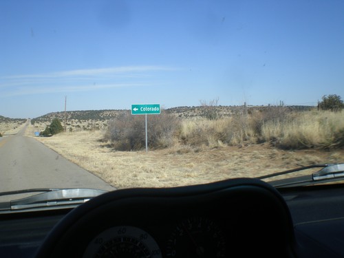
OK-325 East - Black Mesa Jct.
OK-325 east at junction to road to Black Mesa, the state high point. The road continues on into Colorado, hence the destination on the sign.
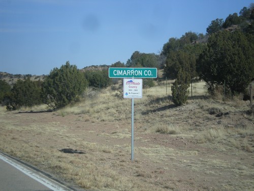
OK-325 - Cimarron County
Cimarron County on OK-325 east. Taken at the New Mexico - Oklahoma state line.
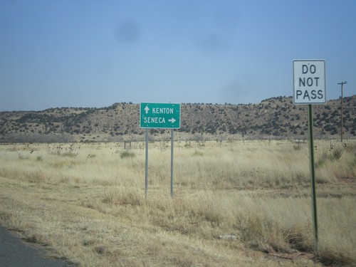
NM-456 East at NM-406
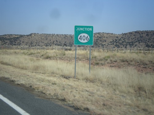
NM-456 east at NM-406 south to Seneca. Continue east on NM-456 for Kenton (Oklahoma).
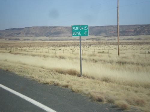
NM-456 East - Distance Marker
Distance marker on NM-456 east. Distance to Kenton, and Boise. Both destinations are in Oklahoma.
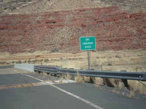
NM-456 - Dry Cimarron River
Crossing the Dry Cimarron River on NM-456 east. The Dry Cimarron River is known as the Cimarron River when it crosses into Oklahoma. When this photo was taken in the spring of 2014, there were puddles in the river.
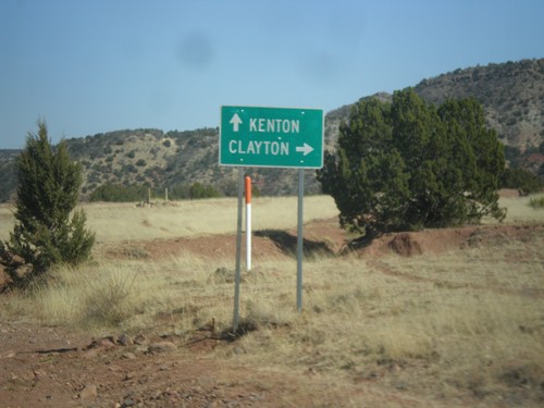
NM-456 East at NM-370
NM-456 east at NM-370 south to Clayton. Continue east on NM-456 for Kenton (Oklahoma).
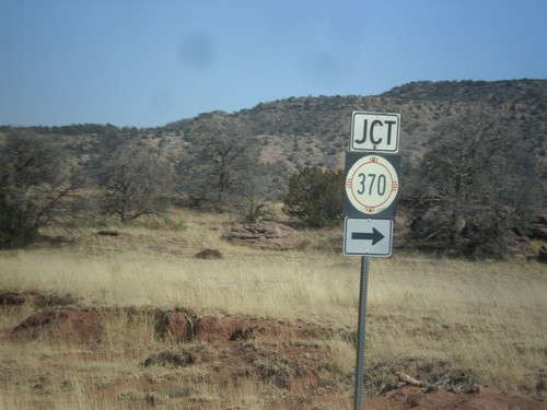
NM-456 East Approaching NM-370 South
NM-456 East approaching NM-370 South in Union County, New Mexico.
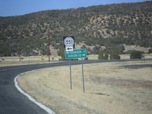
NM-456 East at NM-551 North
NM-456 east at NM-551 north to Branson (Colorado). Continue east on NM-456 for Kenton (Oklahoma).
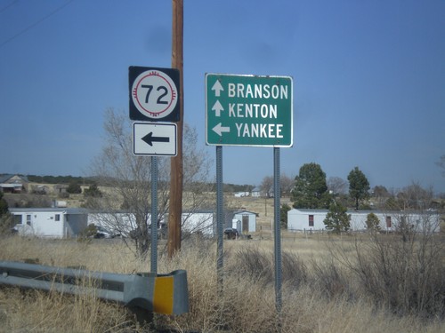
NM-456 East at NM-72
NM-456 east at NM-72 west to Yankee. Continue east on NM-456 for Branson (Colorado) and Kenton (Oklahoma).
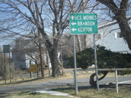
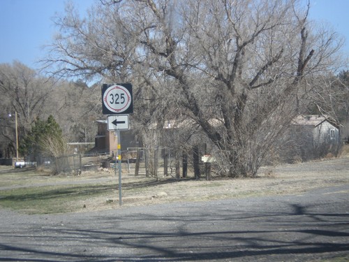
NM-325 North at NM-456
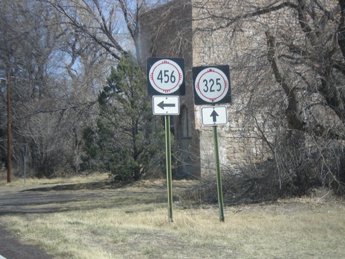
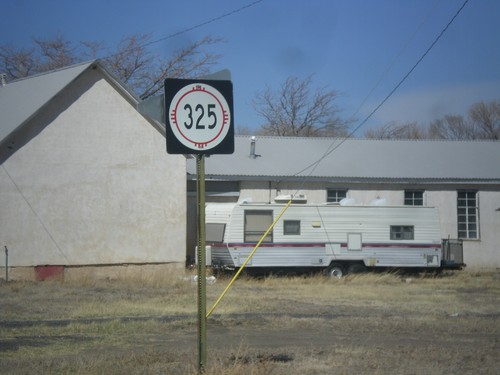
NM-325 north at NM-456 east to Branson (Colorado) and Kenton (Oklahoma). Continue north on NM-325 for Des Moines.
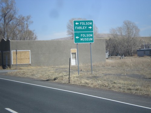
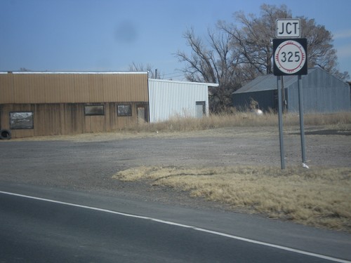
US-64/US-87 East Approaching NM-325
US-64/US-87 East approaching NM-325 north to Folsom and Folsom Museum (in Folsom). Turn right for the county road to Farley.
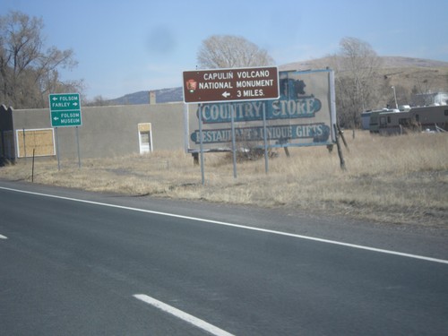
US-64/US-87 East - Capulin National Monument
US-64/US-87 east approaching NM-325. Use NM-325 north for Capulin Volcano National Monument.
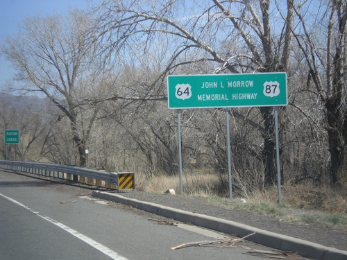
US-64/US-87 East - John L. Morrow Memorial Highway
US-64/US-87 East - John L. Morrow Memorial Highway. I saw a similar sign on US-64/US-87 West leaving Clayton.
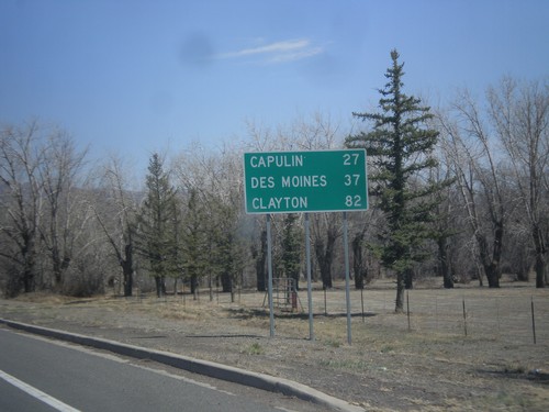
US-64/US-87 East - Distance Marker
Distance marker on US-64/US-87 East to Capulin, Des Moines, and Clayton.
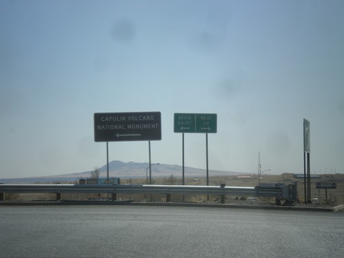
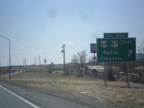
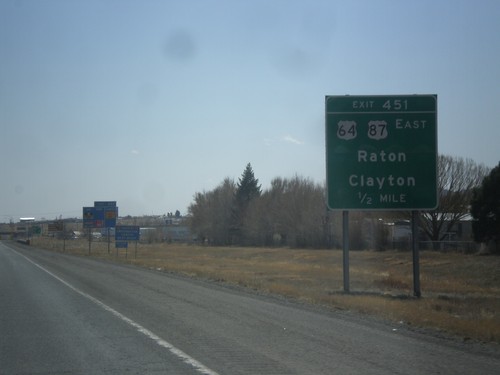
I-25 South Exit 451 Offramp at US-64/US-87
I-25 south Exit 451 Offramp at US-64/US-87. Turn left for US-64/US-87 East; right for US-64 west. This sign for US-64/US-87 in this picture is odd because it is not a standard shield, rather a text based big green sign.
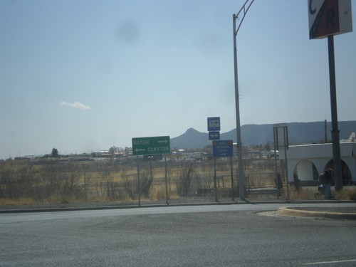
I-25 South Exit 451 Offramp at US-64/US-87
I-25 South - Exit 451 Offramp at US-64/US-87. Turn right for Raton via US-64 west; left for Clayton via US-64/US-87 East.
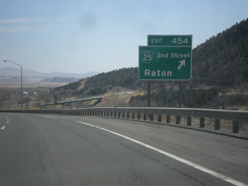
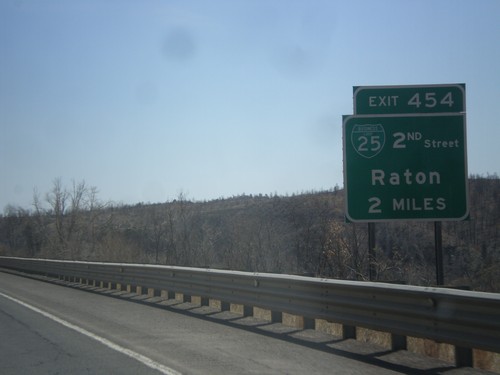
I-25 South - Exit 454
I-25 south at Exit 454 - BL-25/2nd St./Raton. This is the northern end of the Raton business loop. The city of Raton lies at the base of Raton Pass.
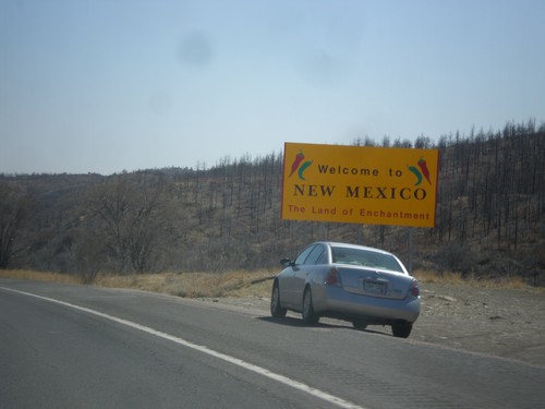
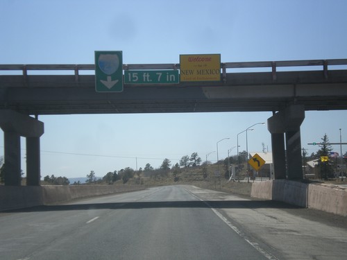
I-25 South - Welcome To New Mexico
Welcome to New Mexico - The Land of Enchantment on I-25 south. Taken about two miles south of the Colorado - New Mexico state line.
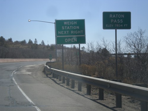
I-25 South - Raton Pass
I-25 south at Raton Pass - Elevation 7,834 Feet. Milemarker 0 is in the background which is the New Mexico - Colorado State Line. The New Mexico Port of Entry is immediately past the state line.
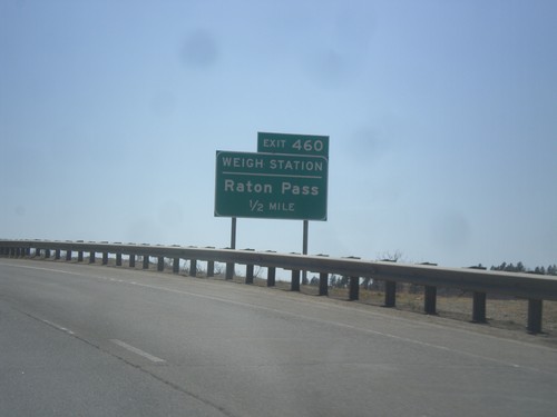
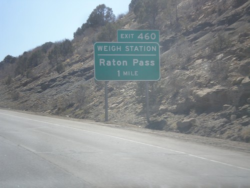
I-25 South - Exit 460 (New Mexico)
I-25 south approaching Exit 460 (New Mexico) - Raton Pass/Weigh Station. The Colorado-New Mexico state line is on the top of Raton Pass.
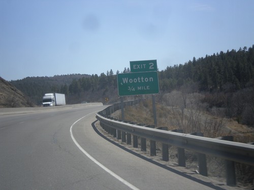
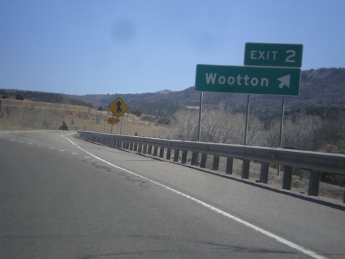
I-25 South - Exit 2
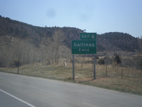
I-25 south approaching Exit 2 - Wootton. This is the last exit on I-25 south in Colorado.
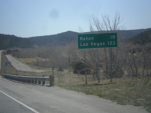
I-25 South - Distance Marker
Distance marker on I-25 south to Raton and Las Vegas. Both destination cities are in New Mexico.
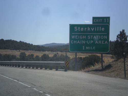
I-25 South - Exit 11
I-25 south approaching Exit 11 - Starkville/Weigh Station/Chain Up Area. After the Starkville interchange, the highway begins climbing towards Raton Pass.
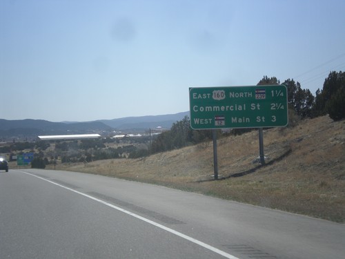
I-25 South - Trinidad Exits
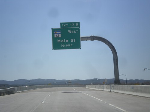
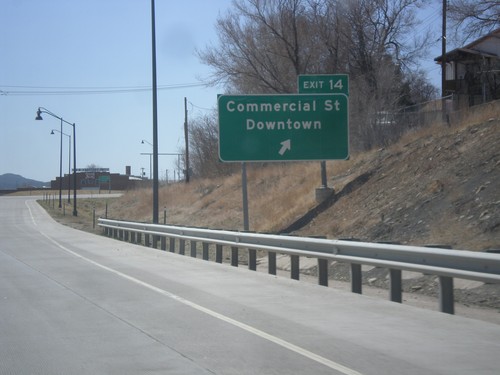
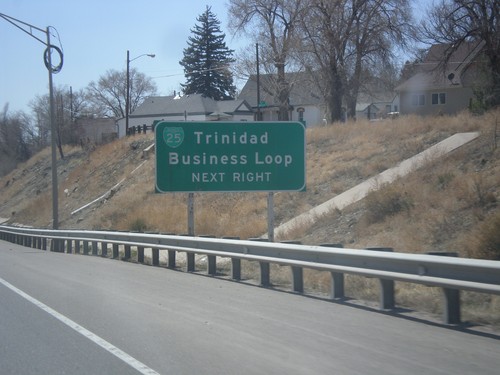
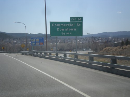
Trinidad Exits on I-25 south. Trinidad Exits: US-160 East/CO-239 North, Commercial St., CO-12 West/Main St.
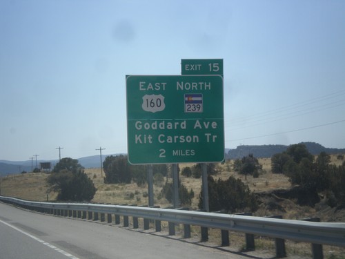
I-25 South - Exit 15
I-25 south approaching Exit 15 - US-160 East/CO-239 North/Kit Carson Trail/Goddard Ave. US-160 east leaves I-25 southbound at this interchange.
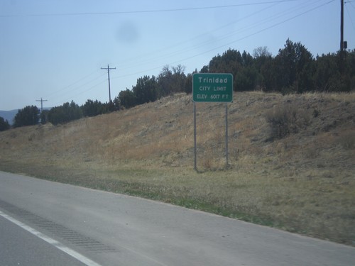
I-25 South - Trinidad City Limit
Entering Trinidad on I-25 south. Trinidad is the county seat of Las Animas County.
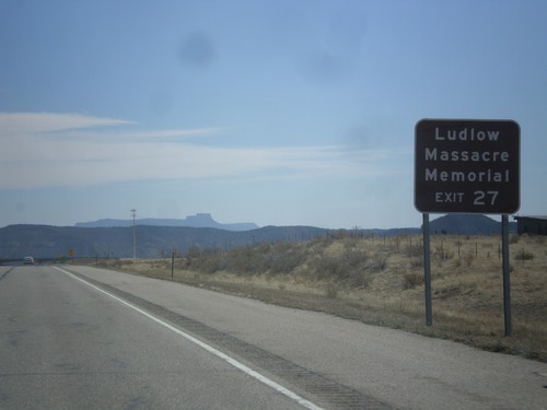
I-25 South - Ludlow Massacre Memorial
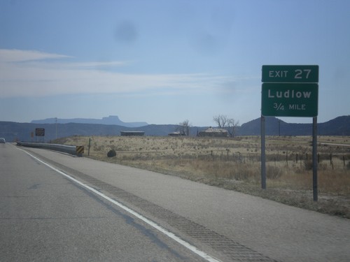
I-25 South approaching Exit 27. Use Exit 27 for the Ludlow Massacre Memorial. The Ludlow Massacre occured in 1914 when the Colorado National Guard opened fire on striking miners killing 39 people.
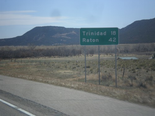
I-25 South - Distance Marker
Distance marker on I-25 south. Distance to Trinidad and Raton (New Mexico).
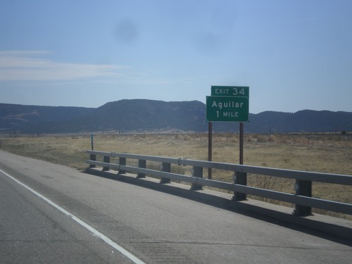
I-25 South - Exit 34
I-25 south at Exit 34 - Aguilar. This interchange also connects with BL-25 into Aguilar, but it is not signed at the junction.
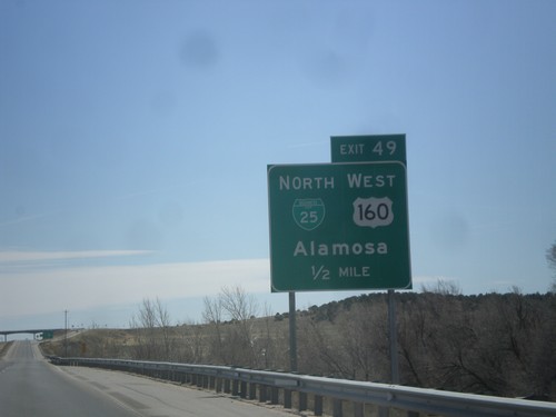
I-25 South - Exit 49
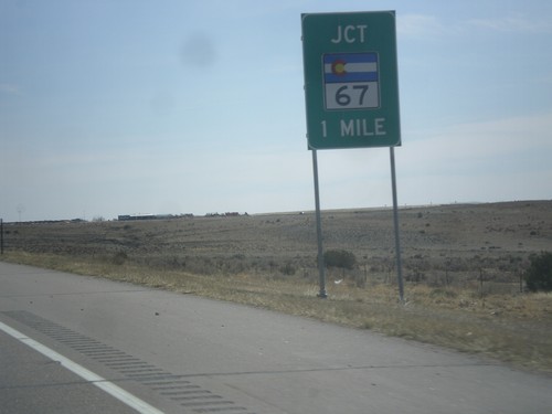
I-25 south approaching Exit 49 - BL-25/US-160 West/Alamosa. This is the southern end of the Walsenburg business loop.
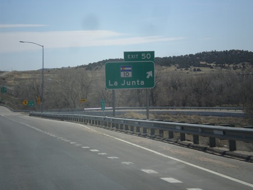
I-25 South - Exit 50
I-25 south at Exit 50 - CO-10/La Junta. US-160 joins I-25 south here to Trinidad.
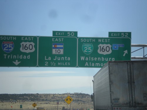
I-25 South - Exits 52 and 50
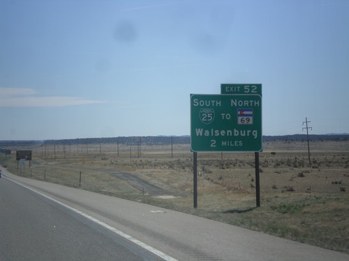
I-25 south at Exit 52 - BL-25 South/US-160 West/Walsenburg/Alamosa. Approaching Exit 50 - CO-10 East/La Junta. US-160 actually joins I-25 at Exit 50, but this is a quicker route from the north into Walsenburg. Continue south on I-25/US-160 East for Trinidad.
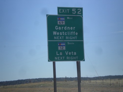
I-25 South Approaching Exit 52
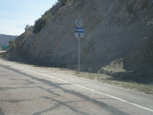
I-25 south approaching Exit 52. Use Exit 52 for CO-12 South/La Veta and CO-69 West/Gardiner/Westcliffe.
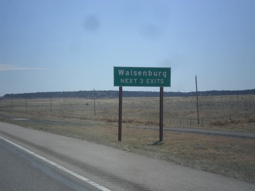
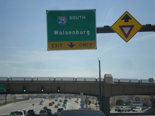
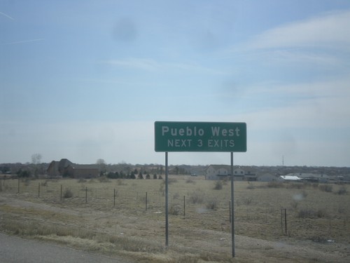
I-25 South - Walsenburg Exits
Walsenburg - Next 3 Exits on I-25 South. Walsenburg is the county seat of Huerfano County.
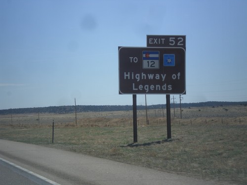
I-25 South Approaching Exit 52
I-25 south approaching Exit 52. Use Exit 52 for CO-12, the Highway of Legends Scenic Byway.
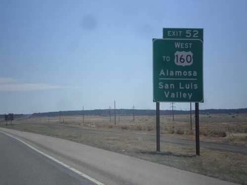
I-25 South - Use Exit 52 For US-160 East
I-25 south approaching Exit 52. Use Exit 52 for US-160 East/Alamosa and the San Luis Valley.
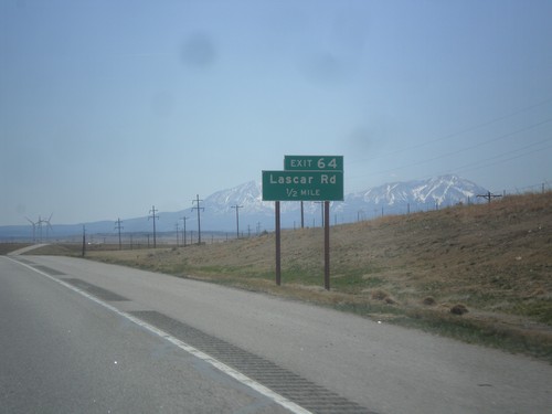
I-25 South - Exit 64
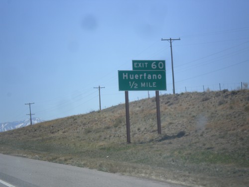
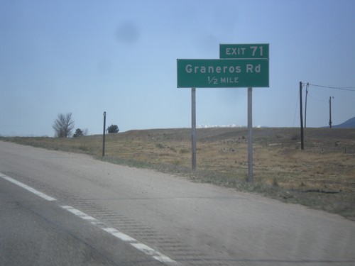
I-25 south approaching Exit 64 - Lascar Road. The Spanish Peaks are in the background.
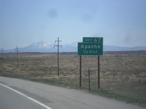
I-25 South - Exit 67
I-25 south approaching Exit 67 - Apache. The Spanish Peaks are in the background.
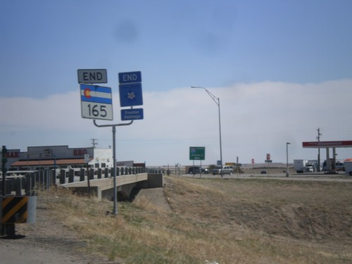
End CO-165 in Colorado City
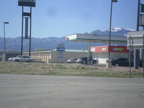
End CO-165 east at I-25 in Colorado City. This is also the end of the Frontier Pathways Scenic Byway.
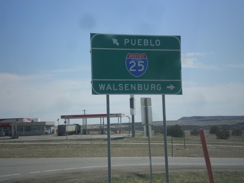
End CO-165 East at I-25
End CO-165 East at I-25. Use I-25 south for Walsenburg; I-25 north for Pueblo.
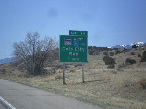
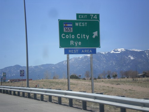
I-25 South Approaching Exit 74
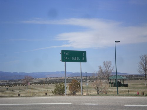
I-25 south approaching Exit 74 - CO-165/Colorado City/Rye. CO-165 is part of the Frontier Pathways Scenic Byway.
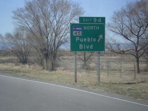
I-25 South - Exit 95
I-25 south at Exit 95 - CO-45 North/Pueblo Blvd. CO-45 is the western beltway around Pueblo.
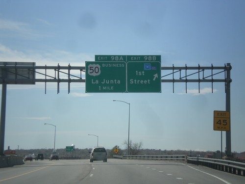
I-25 South - Exit 98B and 98A
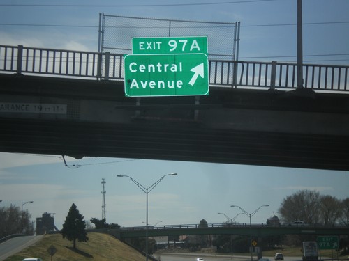
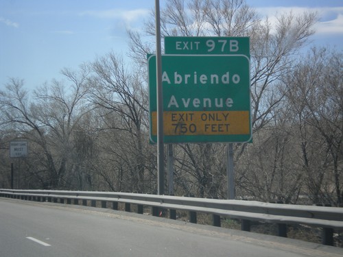
I-25 south at Exit 98B - 1st St. Approaching Exit 98A - Business US-50/La Junta. Use 1st St. to access the Frontier Pathways Scenic Byway.
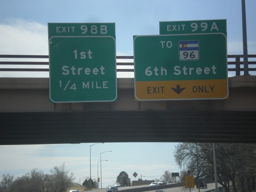
I-25 South - Exits 99A and 98B
I-25 south at Exit 99A - To CO-96/6th St. Approaching Exit 98B - 1st St.
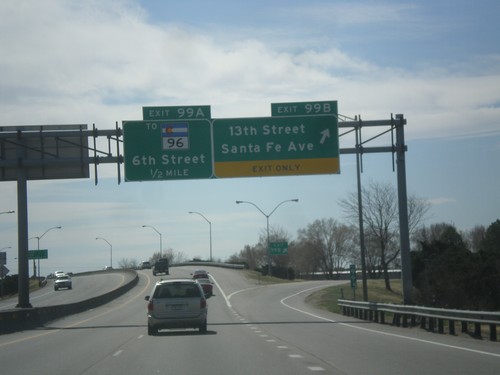
I-25 South - Exits 99A and 99B
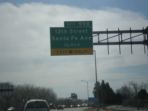
I-25 south at Exit 99B - 13th St./Santa Fe Ave. Approaching Exit 99A - To CO-96/6th St.
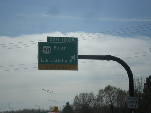
I-25 South - Exit 100A
I-25 south at Exit 100A - US-50 East/La Junta. US-50 leaves I-25 southbound here.
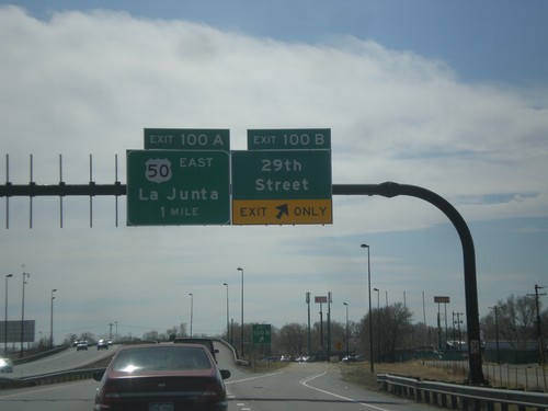
I-25 South - Exits 100B and 100A
I-25 south at Exit 100B - 29th St. Approaching Exit 100A - US-50 East/La Junta.
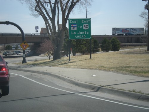
US-50 East at I-25/CO-47
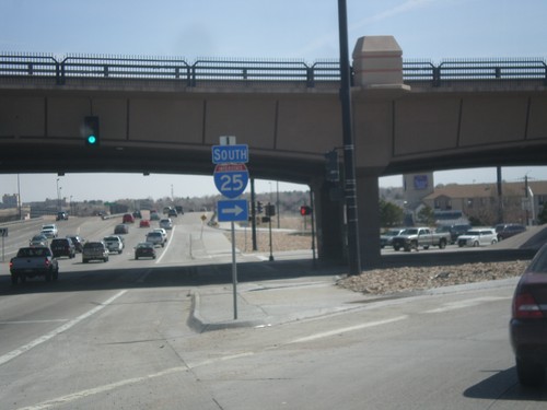
US-50 east at I-25/CO-47. US-50 east continues south briefly on I-25 through Pueblo. An alternate route for US-50 east is to continue straight on CO-47, with loops around to connect with US-50 east.
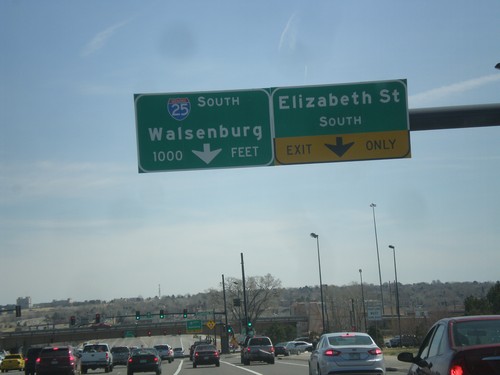
US-50 East Approaching I-25
US-50 east at Elizabeth St. approaching I-25/CO-47 junction in Pueblo. Use I-25 south for Walsenburg.
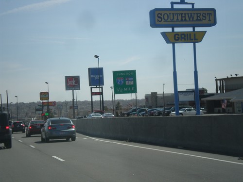
US-50 East Approaching I-25 and CO-47
US-50 East Approaching I-25 and CO-47 in Pueblo. US-50 joins I-25 south briefly through Pueblo.
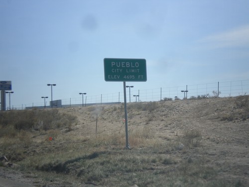
US-50 East - Pueblo City Limits
Pueblo City Limits on US-50 east. Elevation 4,695 feet. Pueblo is the 9th biggest city in Colorado according to the 2012 US Census estimate.
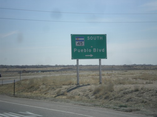
US-50 East at CO-45
US-50 east at CO-45 South/Pueblo Blvd. Pueblo Blvd. is the beltway around the west side of Pueblo.
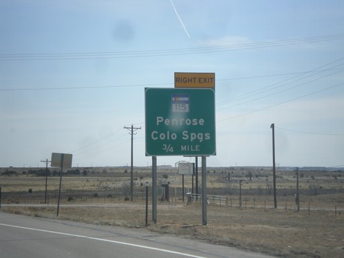
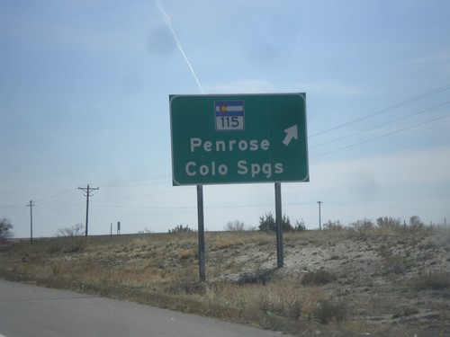
US-50 East Approaching CO-115
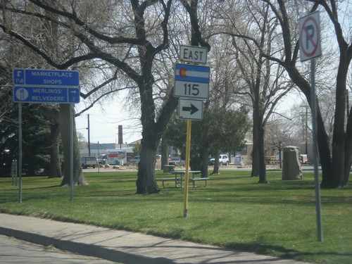
US-50 east approaching interchange for CO-115/Penrose/Colorado Springs.
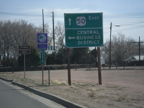
US-50 East - Cañon City Central Business District
US-50 East at 1st St. to (Cañon City) Central Business District.
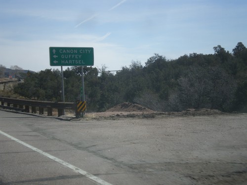
US-50 East At CO-9
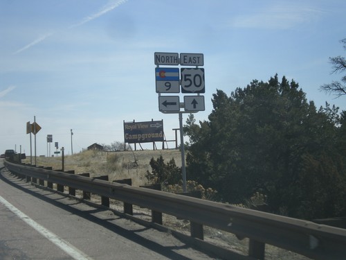
US-50 east at CO-9. Turn left on CO-9 north for Guffey and Hartsel. Continue east on US-50 for Canon City.
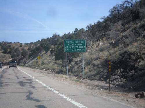
US-50 East - Royal Gorge North Rim
Distance marker on US-50 east for the Royal Gorge North Rim Main Entrance, 2.5 miles. This sign is immediately after the turn off to the South Rim of Royal Gorge.
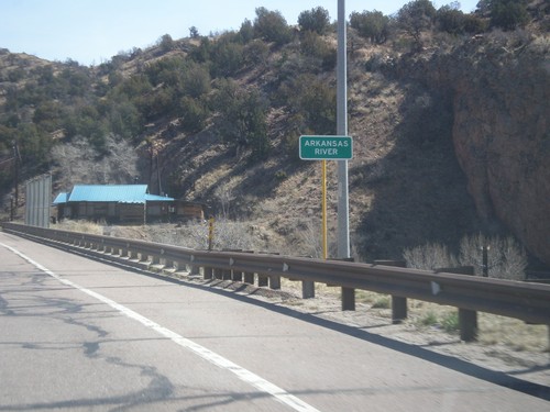
US-50 East - Arkansas River
US-50 east at the Arkansas River bridge. The Arkansas River leaves the highway here and enters Royal Gorge.
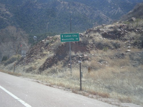
US-50 East Approaching CO-69
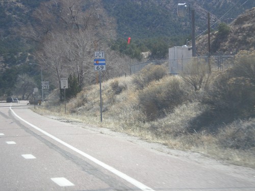
US-50 east approaching CO-69. Use CO-69 south for Westcliffe. Continue east on US-50 for Canon City.
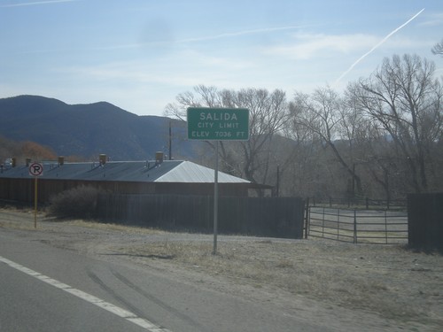
US-50 East - Entering Salida
Salida City Limit on US-50 east. Salida is the county seat of Chaffee County, Colorado.
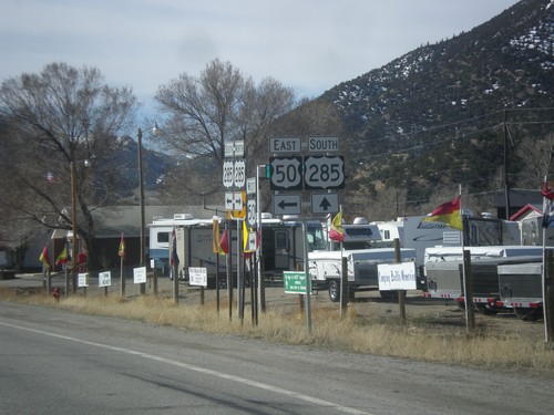
US-50 East/US-285 South at Split
US-50 East/US-285 South at split. Turn left for US-50 east, continue straight for US-285 south.
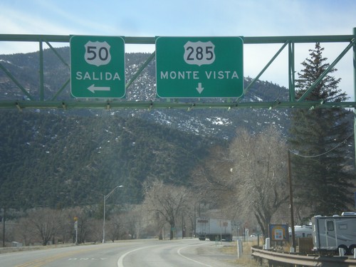
US-50 East/US-285 South at Split
US-50 East/US-285 South at split in Poncha Springs. Merge left for US-50 east to Salida; continue straight for US-285 south to Monte Vista.
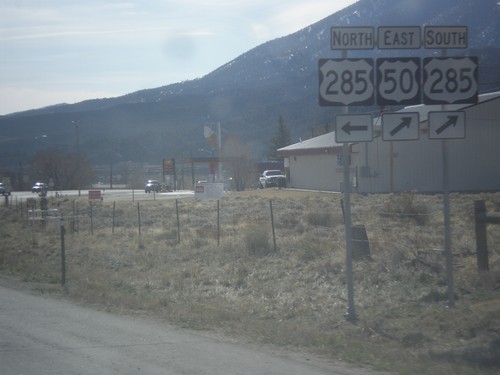
US-50 West at US-285
US-50 west at US-285. Turn left for US-285 north; straight for US-50 east/US-285 south.
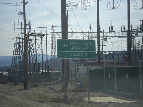
US-50 East at US-285
US-50 east at US-285 in Poncha Springs. Turn left for US-285 north to Buena Vista and Leadville. Continue ahead for US-50/US-285 South to Salida.
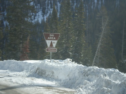
US-50 East Approaching Monarch Mountain
US-50 east approaching Monarch Mountain Ski Area. All ski areas and points of interest in Colorado use this type of sign.
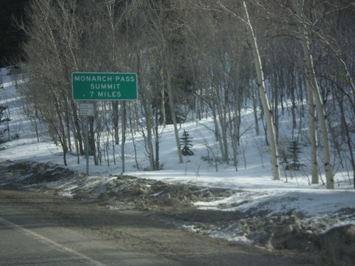
US-50 East - Monarch Pass Summit 7 Miles
Beginning climb up Monarch Pass on US-50 east. Monarch Pass Summit is 7 miles from this point.
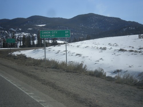
US-50 East - Distance Marker
Distance to Canon City and Fairplay on US-50 east. In the background is the highway enters Gunnison County.
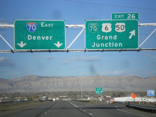
I-70 East - Exit 26
I-70 east at Exit 26 - BL-70/US-6/US-50/Grand Junction. Continue east on I-70 for Denver. This is the eastern end of the Grand Junction business loop. Grand Junction is the largest city in Colorado west of the Rocky Mountains.
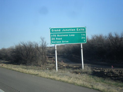
I-70 East - Grand Junction Exits
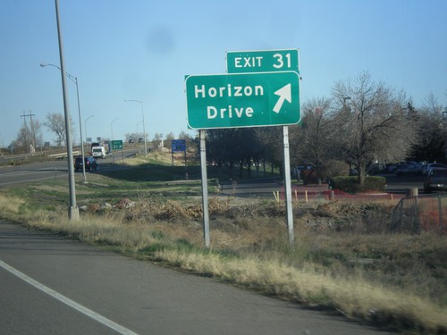
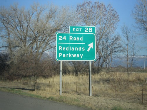
Grand Junction Exits on I-70 east. Next three exits are I-70 Business Loop, 24 Road, and Horizon Drive.
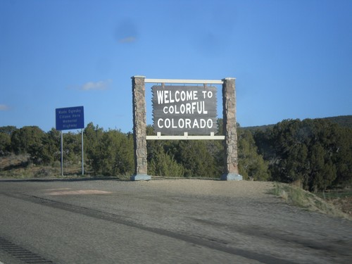
I-70 East - Entering Colorado
Welcome to colorful Colorado on I-70 east. Taken at the Utah-Colorado line.
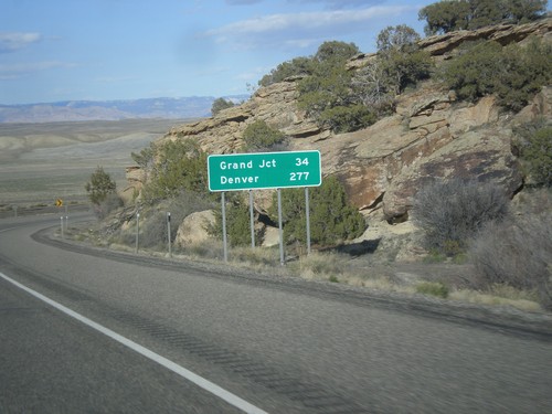
I-70 East - Distance Marker
Distance marker on I-70 west. Distance to Grand Junction and Denver. This is the last distance marker along I-70 in Utah.
