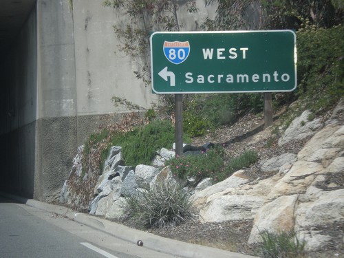
Signs From May 2014
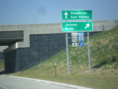
US-93 North at I-84 West
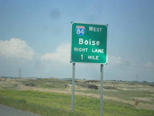
US-93 north at I-84 west to Jerome and Boise. Continue north on US-93 for Shoshone and Sun Valley.
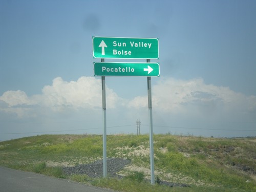
US-93 North at I-84 East
US-93 north at I-84 east to Pocatello. Continue under overpass for I-84 west to Boise. Continue north on US-93 for Sun Valley.
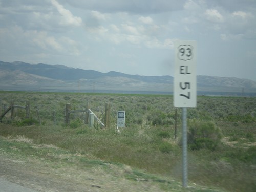
US-93 North - Mile Marker
This is an unusual mile marker on US-93 north in Nevada. Typical mile markers in Nevada are much smaller and do not have a shield outline on them, just a text description of the route. There are two or there on this stretch of road between Wells and Lages Junction.
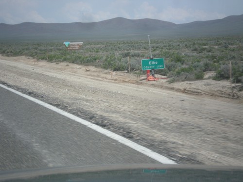
US-93 North - Elko County
Entering Elko County on US-93 north. Elko County is the fourth largest county by area in the lower 48 states.
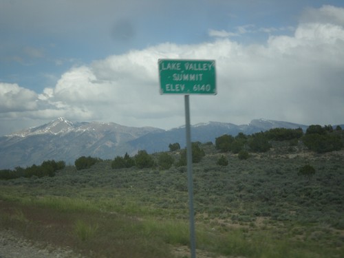
US-93 North - Lake Valley Summit
Lake Valley Summit - Elevation 6,140 Feet on US-93 north. Wheeler Peak is the mountain in the background. Wheeler Peak is the second highest mountain in Nevada and is located in Great Basin National Park.
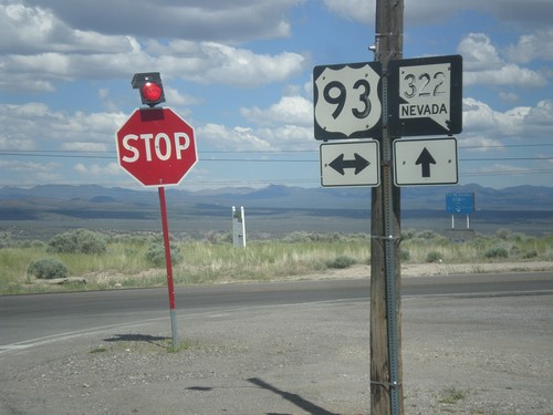
NV-322 East at US-93
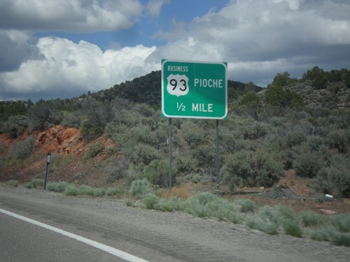
NV-322 East at US-93 in Pioche. Both of the shields have fading lettering and almost look like they were hand painted on.
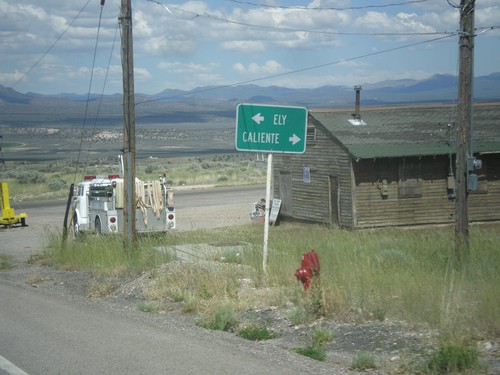
NV-322 East at US-93
NV-322 East at US-93. Turn right for US-93 south to Caliente; left for US-93 north to Ely.
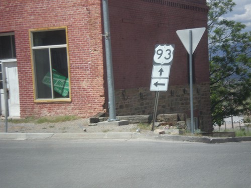
Bus US-93/NV-321 South at NV-322
Bus US-93/NV-321 South at NV-322 in Pioche. Both NV-321 and NV-322 will end up at US-93. Turn left to continue north on Bus. US-93/NV-321. Continue straight for NV-322. This is a confusing intersection because there is no signs indicating either the Nevada state highways involved, nor which street the business loop continues on as.
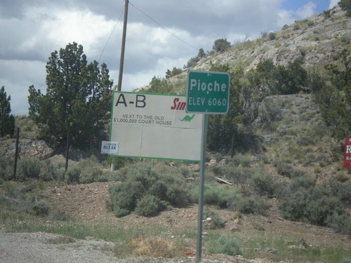
Bus. US-93/NV-321 - Pioche
Entering Pioche on Bus. US-93/NV-321 north. Pioche is the county seat of Lincoln County.
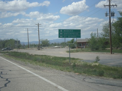
UT-56 West Approaching UT-18
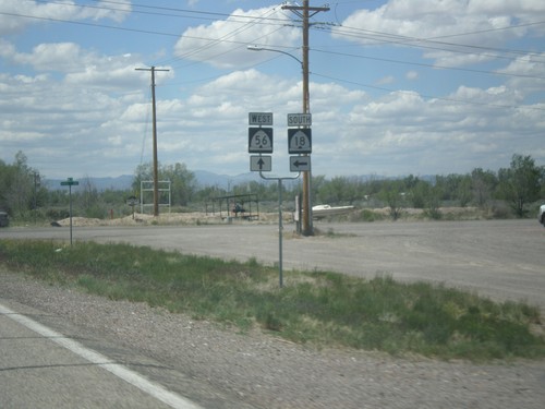
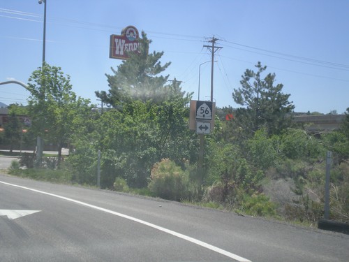
UT-56 West approaching UT-18 south to Enterprise and St. George. Continue west on UT-56 for Modena.
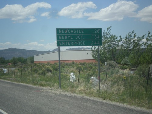
UT-56 West - Distance Marker
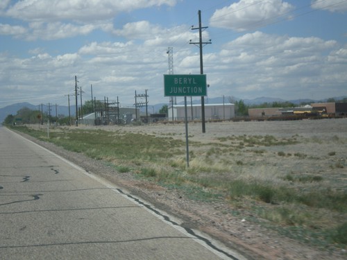
Distance marker on UT-56 west. Distance to Newcastle, Beryl Junction, and Enterprise.
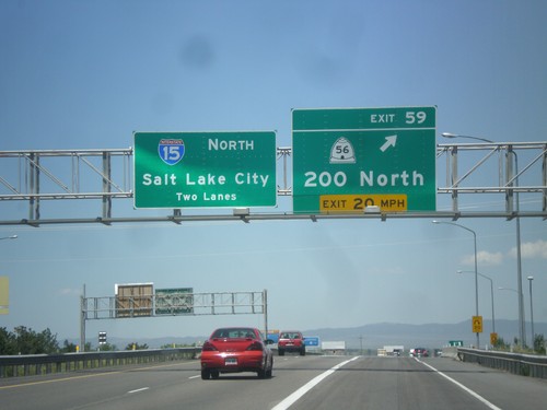
I-15 North - Exit 59
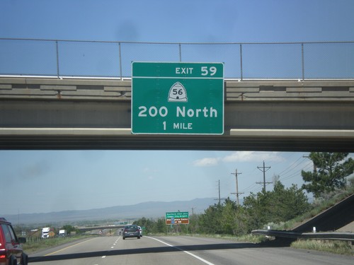
I-15 north at Exit 59 - UT-56/200 North. I-15 continues north towards Salt Lake City.
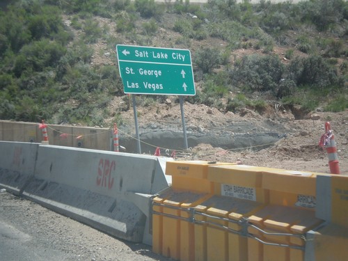
Cross Hollow Road at I-15 South
Cross Hollow Road at I-15 South to Salt Lake City. Continue straight for I-15 north to St. George and Las Vegas.
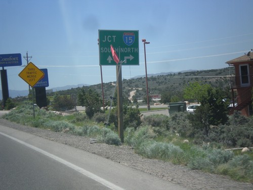
BL-15/UT-130 South at Cross Hollow Road
BL-15/UT-130 South at Cross Hollow Road. Continue straight for I-15 south on ramp. Turn right on Cross Hollow Road for I-15 north on ramp.
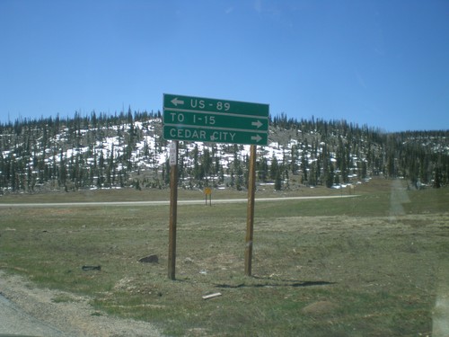
End UT-148 South at UT-14
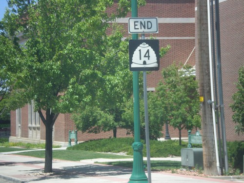
End UT-148 south at UT-14. Turn right on UT-14 for Cedar City and I-15. Turn left on UT-14 for US-89. UT-14 is part of the Markagunt High Plateau Scenic Byway.
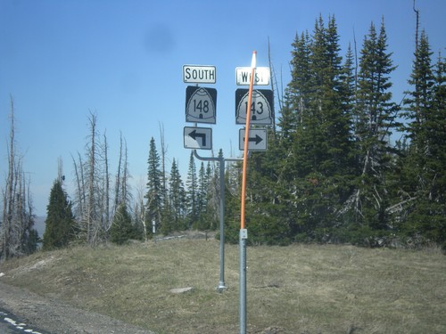
UT-143 West at UT-148
UT-143 west at UT-148. Turn right to continue west on UT-143 (Utah’s Patchwork Parkway National Scenic Byway). Turn left for UT-148 (Cedar Breaks Scenic Byway).
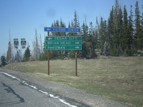
UT-143 West at UT-148
UT-143 west at UT-148. Use UT-148 south to Cedar City. Continue west on UT-143 (right turn) for Brian Head and Parowan. The Utah DOT changed direction on UT-143 between Panguitch Lake and UT-148 junction. At Panguitch UT-143 is a north/south highway. At this junction it is an east/west highway.
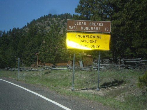
UT-143 - Distance Marker
Distance marker on UT-143 south. Distance to Cedar Breaks National Monument. Below distance marker is another sign reading Snow Plowing Daylight Hours Only.
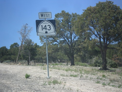
UT-143 South - Garfield County
Large UT-143 south shield outside of Panguitch in Garfield County. There are quite a few of these oversized shields outside of Panguitch on UT-143 southbound.
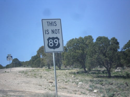
UT-143 South - This is not US-89
This is not US-89 sign on UT-143 south. US-89 southbound traffic in Panguitch who do not turn left at the stoplight in town will end up on UT-143. This sign notifies travelers that they are not on US-89. There are also many oversizes UT-143 signs on the first few miles out of Panguitch as a reminder as well.
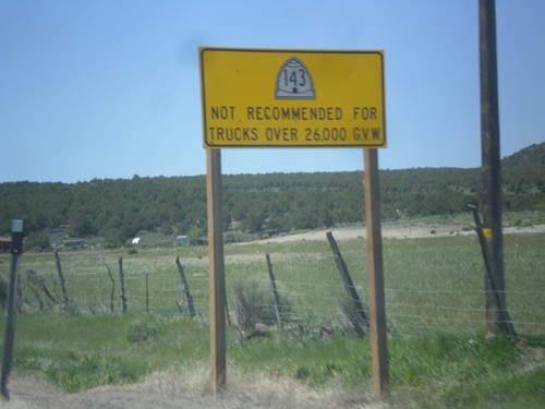
UT-143 - Truck Restrictions
UT-143 not recommended for trucks over 26,000 GVW. UT-143 is a steep, winding mountain road over the Markagunt Plateau.
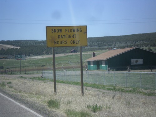
UT-143 South - Snow Plowing Hours
Snow Plowing Daylight Hours Only on UT-143 south. UT-143 south is a very mountainous road that goes over the Markagunt Plateau.
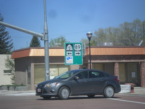
US-89 North at UT-143
US-89 north at UT-143 in Panguitch. Turn left for UT-143 south; right for US-89 north.
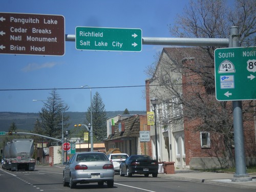
US-89 North at UT-143
US-89 north at UT-143 south. Turn left for UT-143 south to Cedar Breaks National Monument, Brian Head, and Panguitch Lake. Turn right to continue north on US-89 to Richfield and Salt Lake City. UT-143 is part of the Utah’s Patchwork Parkway National Scenic Byway.
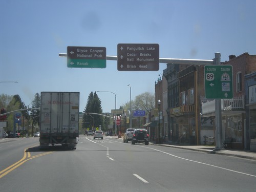
US-89 South at UT-143
US-89 south at UT-143 in Panguitch. Use UT-143 south for Cedar Breaks National Monument, Panguitch Lake, and Brian Head. Turn left to continue south on US-89 towards Bryce Canyon National Park and Kanab. UT-143 is part of Utah’s Patchwork Parkway National Scenic Byway.
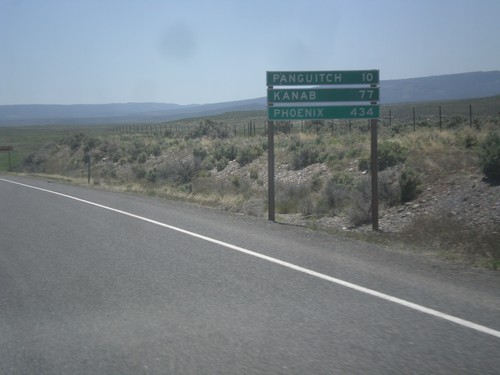
US-89 South - Distance Marker
Distance marker on US-89 south. Distance to Panguitch, Kanab, and Phoenix (Arizona).
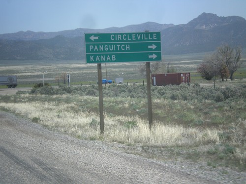
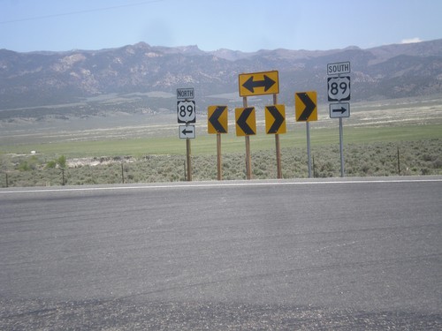
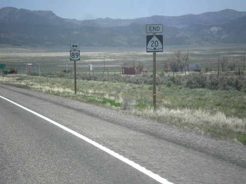
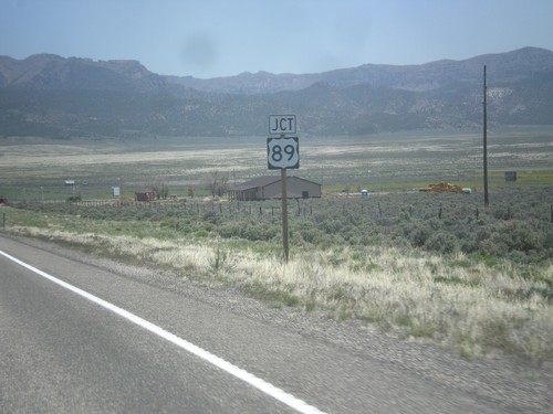
End UT-20 at US-89
End UT-20 East at US-89. Use US-89 north for Circleville; use US-89 south for Panguitch and Kanab.
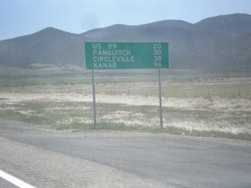
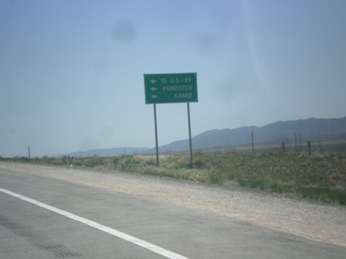
UT-20 East - Distance Marker
Distance marker on UT-20 east. Distance to US-89, Panguitch, Circleville, and Kanab.
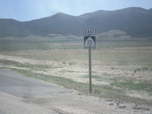
UT-20 East in Iron County
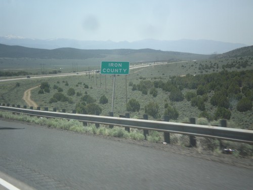
UT-20 East in Iron County. This is the first reassurance marker on UT-20 east after I-15.
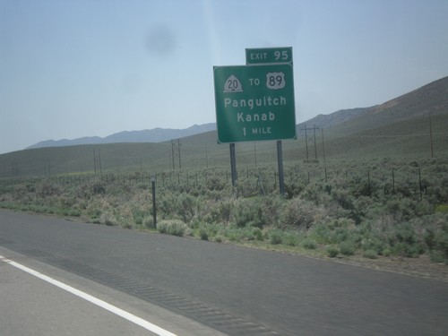
I-15 South - Exit 95
I-15 south at Exit 95 - UT-20/To US-89/Panguitch/Kanab. UT-20 is a short highway that connects I-15 with US-89.
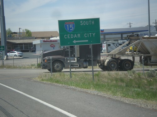
BL-15/UT-160 South at I-15
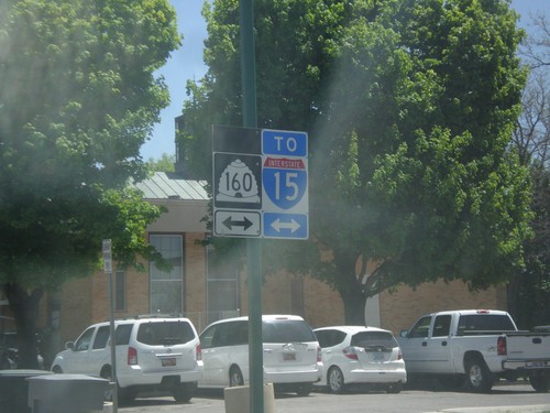
BL-15/UT-160 South at I-15 to Cedar City. This is the end of the Beaver business loop and UT-160.
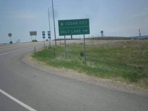
BL-15/UT-160 South Approaching I-15
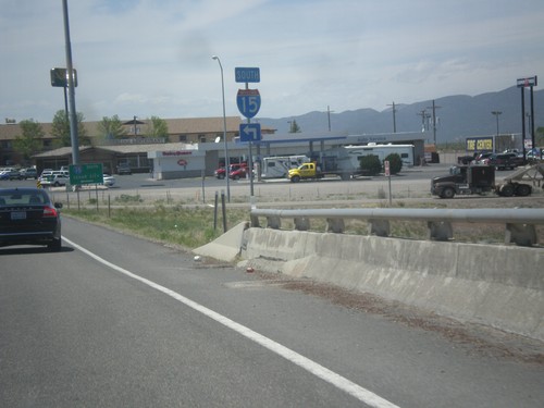
BL-15/UT-160 South approaching I-15 (Exit 109) in Beaver. Use I-15 north for Salt Lake; I-15 south for Cedar City.
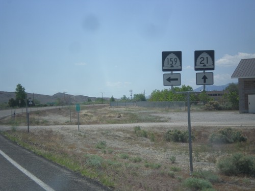
UT-21 East at UT-159
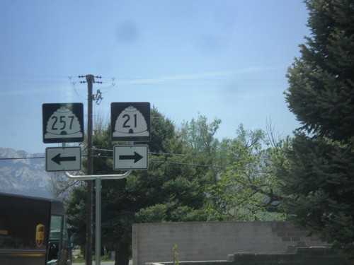
UT-21 east at UT-159 north in Garrison. Garrison is located inside Utah on the Nevada line.
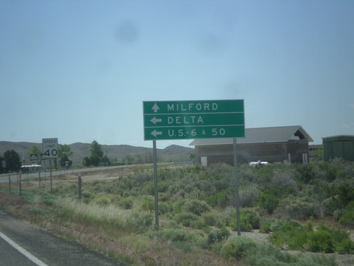
UT-21 East at UT-159
UT-21 east approaching UT-159 north to US-6/US-50 and Delta. Continue east on UT-21 for Milford.
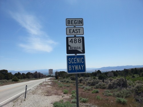
Begin NV-488 East
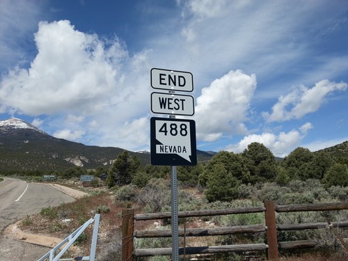
Begin NV-488 east at the Great Basin National Park Boundary. NV-488 is part of the Nevada Scenic Byway system.
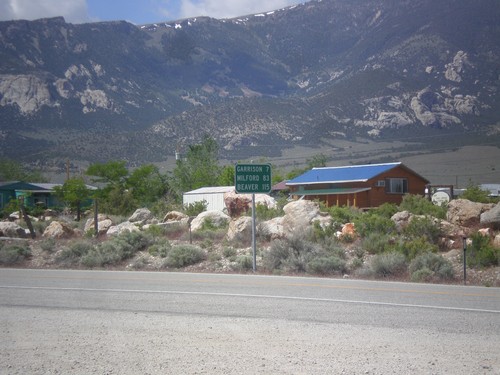
NV-487 South - Distance Marker
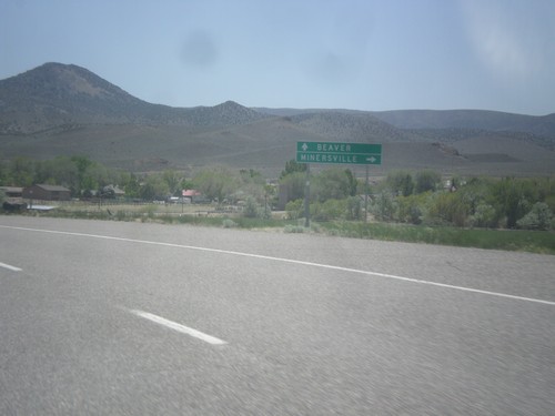
Distance marker on NV-487 south. Distance to Gunnison, Milford, and Beaver. All three locations are located in Utah.
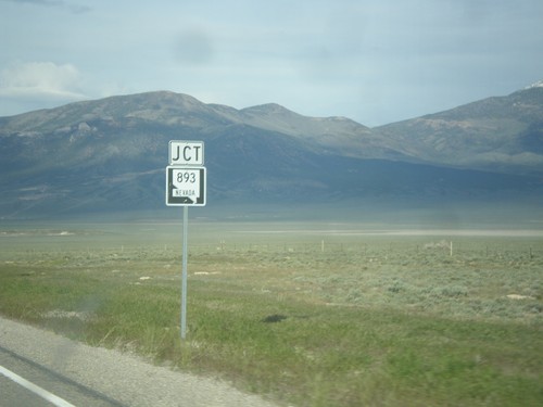
US-6/US-50 East Approaching NV-893
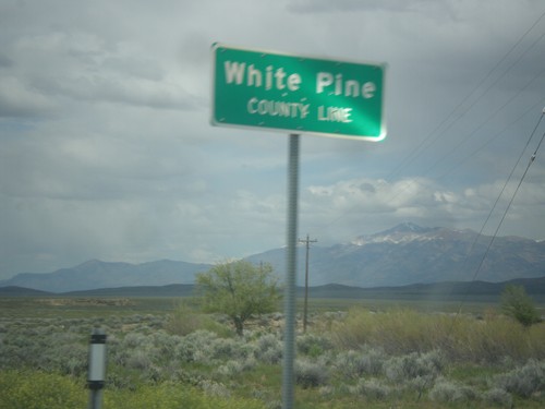
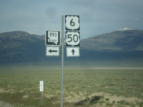
US-6/US-50 East approaching NV-893 in rural White Pine County, Nevada.
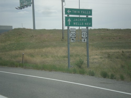
US-93 South at US-30 East
US-93 south at US-30 east to Twin Falls. Continue south on US-93 for Jackpot (NV) and Wells (NV). This sign is not typical in that the font is in all capital letters. Typically this sort of sign is not all upper case.
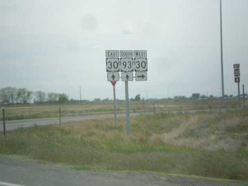
US-93 South at US-30
US-93 south at US-30 interchange. Turn right for US-30 west; continue under overpass for US-30 east.
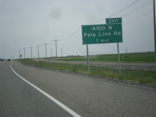
US-93 South - 4100 N Interchange
US-93 south approaching 4100 N/Pole Line Road interchange. US-93 south leaves Pole Line Road at this interchange and swings south.
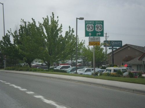
US-93 South at Bus. US-93 in Twin Falls
US-93 South (Blue Lakes Blvd.) at Bus. US-93. Turn right on Pole Line Road to continue south on US-93. Continue straight on Blue Lakes Blvd. for Bus. US-93. US-93 was recently re-routed through Twin Falls along a bypass. Bus. US-93 follows the old route through Twin Falls.
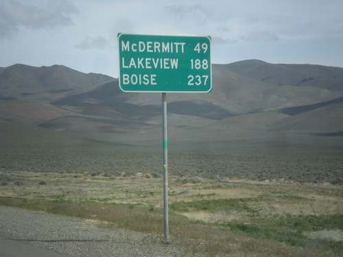
US-95 North - Distance Marker
Distance marker on US-95 north. Distance to McDermit, Lakeview (Oregon - via NV-140), and Boise (Idaho).
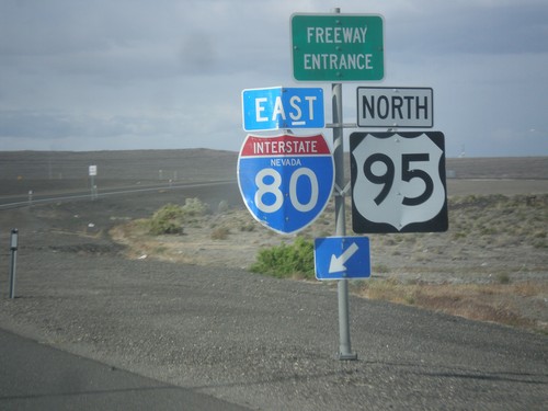
US-95 North at I-80 East (Exit 83)
US-95 north at I-80 (Exit 83) onramp. US-95 north joins I-80 east to Winnemucca.
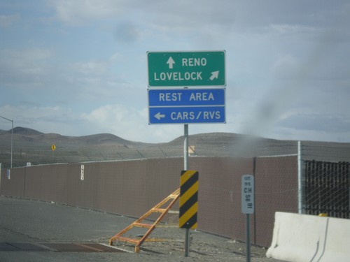
US-95 North Approaching I-80
US-95 north approaching I-80. Use I-80 East/US-95 North to Lovelock; use I-80 West/Alt. US-95 South to Reno. Turn left to enter the Rest Area. Notice the post mile marker at the base of the sign.
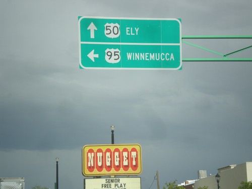
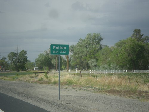
US-50 East/US-95 North - Fallon
US-50 East/US-95 North at US-95 north. Turn left for US-95 north to Winnemucca; continue straight for US-50 east to Ely.
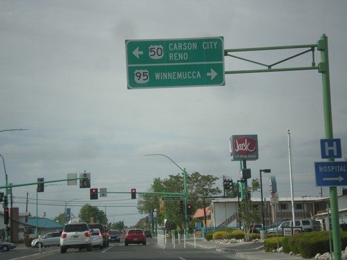
US-95 North at US-50
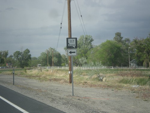
US-95 north at US-50 in Fallon. Turn left for US-50 west to Carson City and Reno. Turn right for US-50 East (not signed) and US-95 north to Winnemucca. US-95 joins US-50 for a few blocks through Fallon.
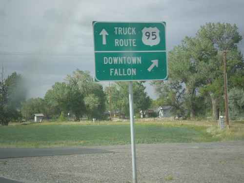
US-95 North - Fallon Truck Route
US-95 north at Maine St. junction. Turn right for Downtown Fallon; continue straight for US-95 North along the Truck Route.
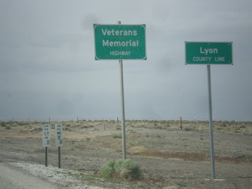
US-95 North - Lyon County Line
Lyon County Line on US-95 north. US-95 is signed as the Veterans Memorial Highway throughout Nevada.
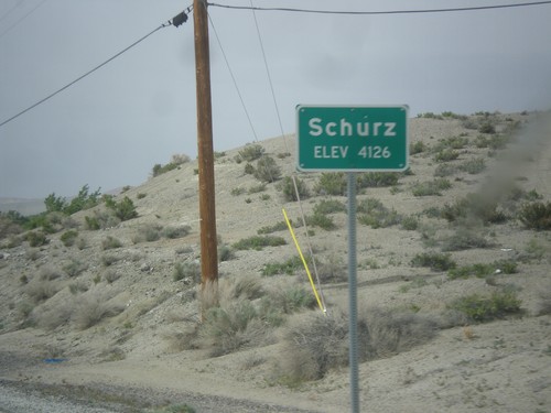
US-95 North - Schurz
Schurz - Elevation 4,126 on US-95 north. Schurz is home to the Walker River Paiute Tribe.
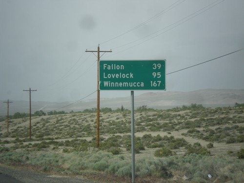
US-95 North - Distance Marker
Distance marker on US-95 north. Distance to Fallon, Lovelock, and Winnemucca. This sign was upgraded to the Clearview font since the last time I photographed it in 2006.
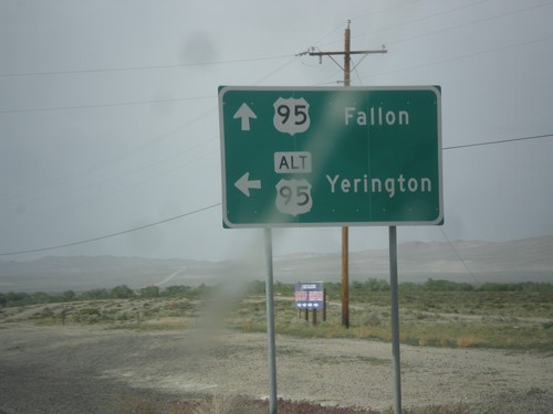
US-95 North at Alt. US-95 North
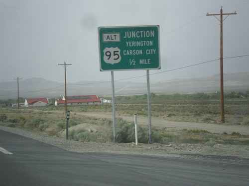
US-95 North at Alt. US-95 North to Yerington. Continue north on US-95 for Fallon. Alt. US-95 rejoins US-95 north of Fallon at I-80.
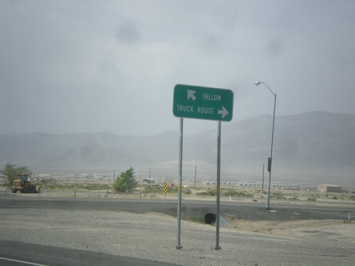
US-95 North at Hawthorne Truck Route
US-95 north at Hawthorne Truck Route. Merge right for the Truck Route, merge left for US-95 north towards Fallon.
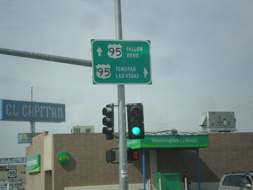
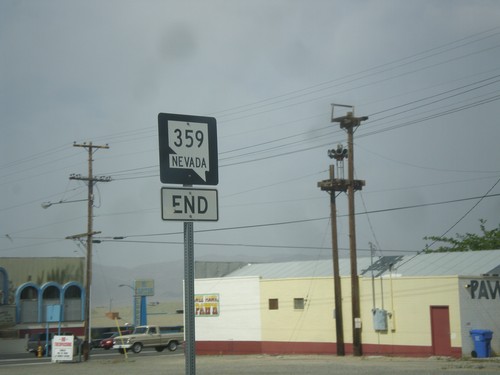
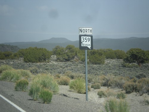
End NV-359 at US-95
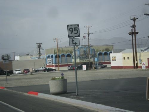
End NV-359 at US-95. Turn right for US-95 south to Tonopah and Las Vegas. Continue straight for US-95 north to Fallon and Reno.
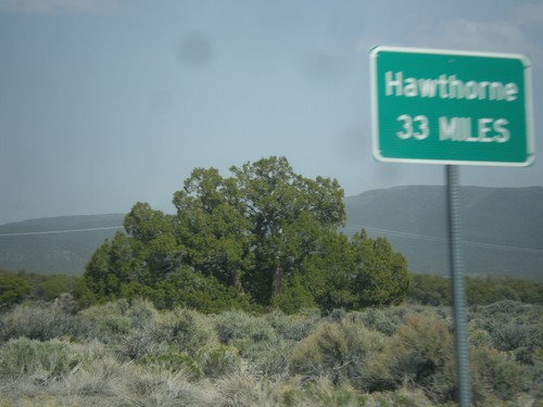
NV-359 North - Distance Marker
Distance marker on NV-359 north. Distance to Hawthorne. This sort of sign is common in Nevada where there is only one city listed as a destination.
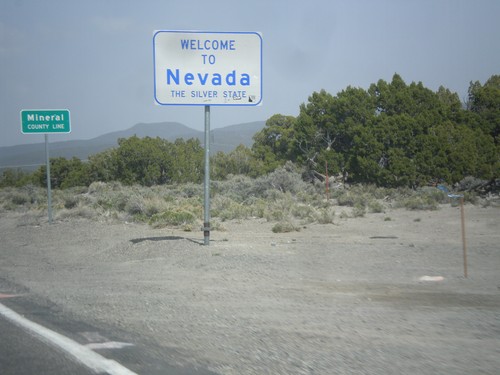
Welcome To Nevada - NV-359 North
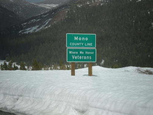
Welcome to Nevada - The Silver State, Mineral County Line on NV-359 north. Taken at the Nevada - California state line.
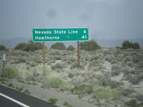
CA-167 East - Distance Marker
Distance marker on CA-167 east. Distance to Nevada State Line and Hawthorne (Nevada).
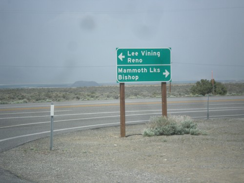
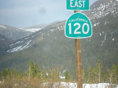
CA-120 East at US-395
CA-120 east at US-395. Turn right for US-395 south to Bishop and Mammoth Lakes. Turn left for US-395 north to Lee Vining and Reno. Turn right to continue east on CA-120.
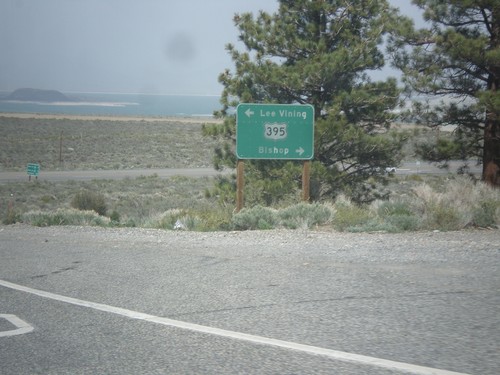
CA-120 East at US-395
CA-120 east at US-395. Turn right for US-395 north to Lee Vining; left for US-395 south to Bishop. Turn right on US-395 to continue east on CA-120.
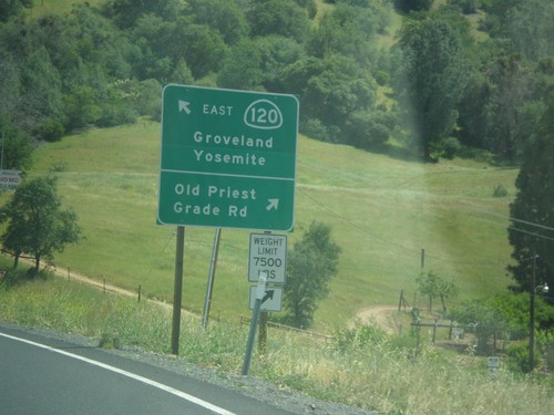
CA-120 East - Old Priest Grade Road
CA-120 East at Old Priest Grade Road. Continue east on CA-120 for Groveland and Yosemite.
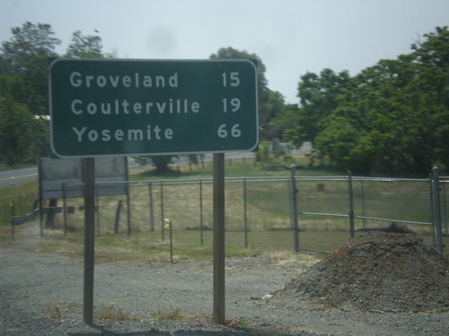
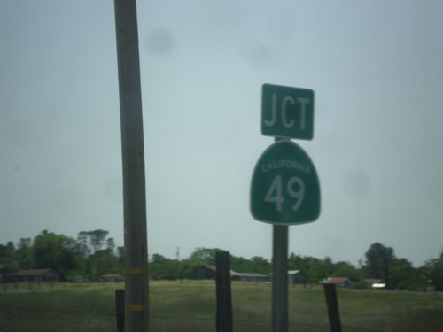
CA-49 South/CA-120 East - Distance Marker
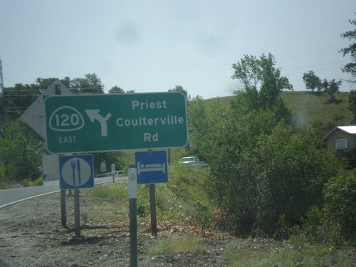
Distance marker on CA-49 South/CA-120 East. Distance to Groveland, Coulterville, and Yosemite.
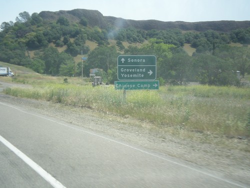
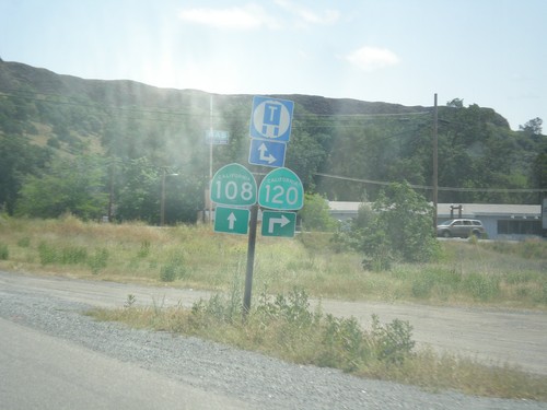
CA-108/CA-120 East at CA-120
CA-108/CA-120 East at CA-120 east to Groveland, Yosemite, and Chinese Camp. Continue east on CA-108 for Sonora.
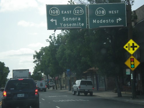
CA-120 East at CA-108
CA-120 east at CA-108 in Oakdale. Turn right for CA-108 west to Modesto. Turn left for CA-108/CA-120 east to Sonora and Yosemite. CA-120 joins CA-108 eastbound to the Chinese Camp area.
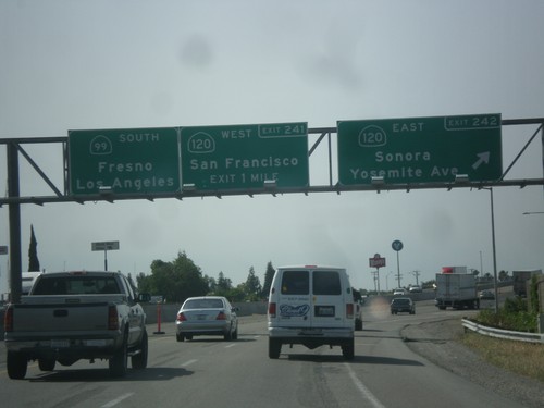
CA-99 South - Exits 242 and 241
CA-99 south at Exit 242 - CA-120 East/Sonora/Yosemite Ave. Approaching Exit 241 - CA-120 West/San Francisco. Continue south on CA-99 for Fresno and Los Angeles. CA-120 joins CA-99 south briefly through Manteca.
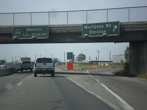
CA-99 South - Exit 252A
CA-99 south at Exit 252A - Mariposa Road/Escalon. Continue south on CA-99 for Modesto and Los Angeles.
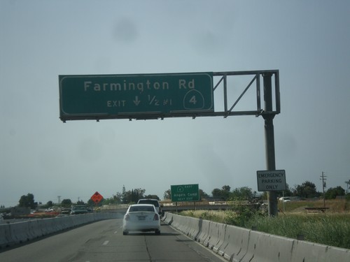
CA-99 South/CA-4 East - Exit 252B
CA-99 South/CA-4 East approaching Exit 252B - CA-4/Farmington Road. CA-4 leaves CA-99 southbound here.
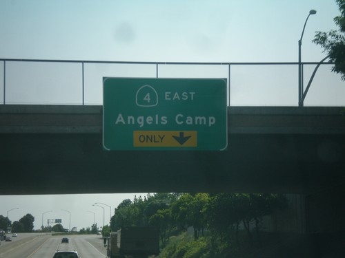
CA-99 South/CA-4 East Approaching CA-4 East
CA-99 South/CA-4 East Approaching CA-4 East/Angels Camp. This is Exit 252B (not signed). CA-4 east leaves CA-99 at Exit 252B.
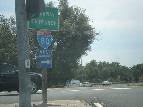
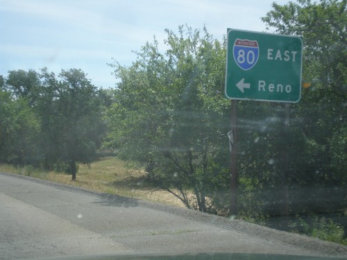
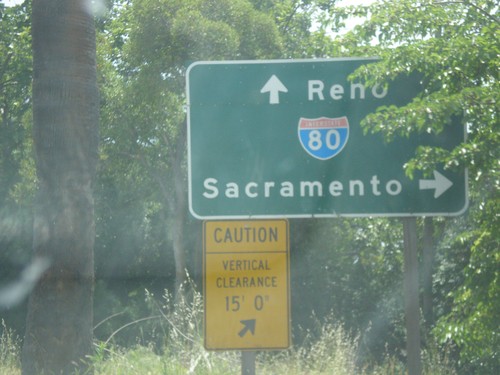
Horseshoe Bar Road East at I-80 West
Horseshoe Bar Road east at I-80 west onramp (Exit 110) in Loomis.
