Signs From June 2014
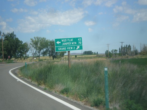
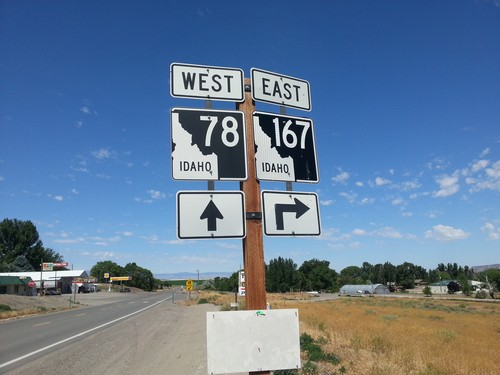
ID-78 West at Mud Flat Road
ID-78 west at Mud Flat Road to Mud Flat and Juniper Mountain. Continue west on ID-78 for Grand View. This is the beginning of the Owyhee Uplands Backcountry Byway, which follows Mud Flat Road along the south side of the Owyhee Mountains and ending in Jordan Valley, Oregon.
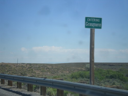
ID-51 North - Entering Grasmere
Entering Grasmere on ID-51 north. Grasmere is basically a ghost town. There are some broken down gas pumps and a few abandoned buildings.
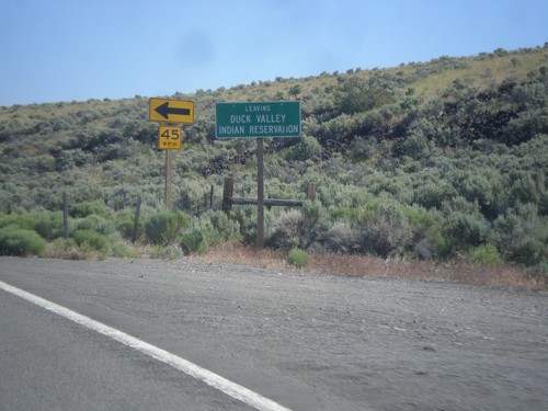
ID-51 North - Leaving Duck Valley Indian Reservation
Leaving the Duck Valley Indian Reservation on ID-51 north.
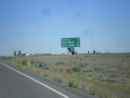
ID-51 North - Distance Marker
Distance marker on ID-51 north. Distance to Riddle, Grasmere, and Mountain Home. This is the first shield and distance marker along ID-51 after the stateline.
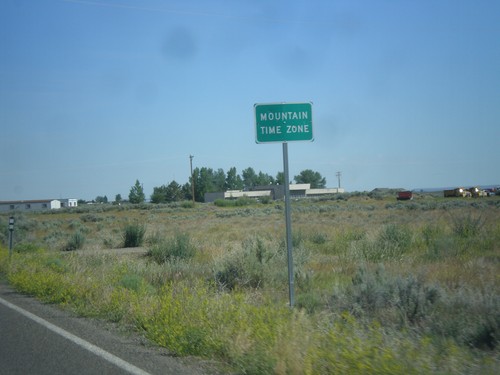
NV-225 North - Mountain Time
Entering Mountain Time Zone on NV-225 north, approaching the Idaho state line. The official time zone boundary is the Nevada-Idaho state line, but the towns of Owyhee and Mountain City, NV both observe Mountain Time.
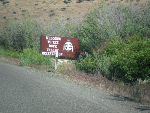
NV-225 North - Entering Duck Valley Reservation
Entering the Duck Valley Indian Reservation on NV-225 north. The Duck Valley Indian Reservation is located on the Idaho-Nevada border and is home to the Shoshone-Paiute Tribe.
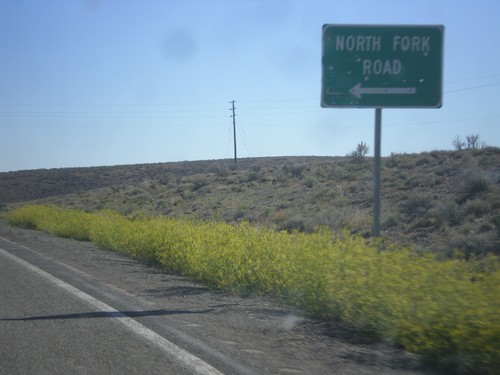
NV-225 North - North Fork Road
NV-225 north at North Fork Road junction. North Fork refers to the North Fork of the Humboldt River.
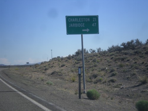
NV-225 North - Charleston/Jarbidge Jct.
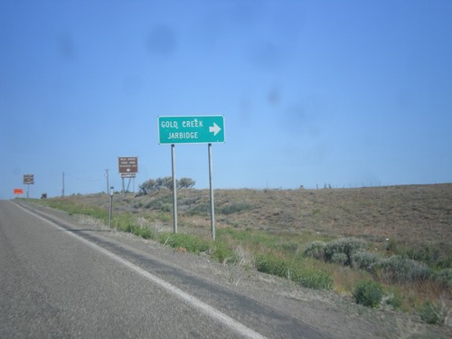
NV-225 North at junction with road to Charleston and Jarbidge.
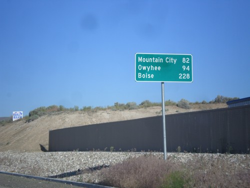
NV-225 North - Distance Marker
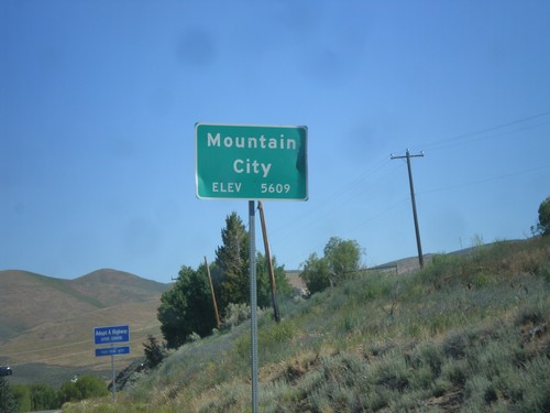
Distance Marker on NV-225 North to Mountain City, Owyhee, and Boise (Idaho).
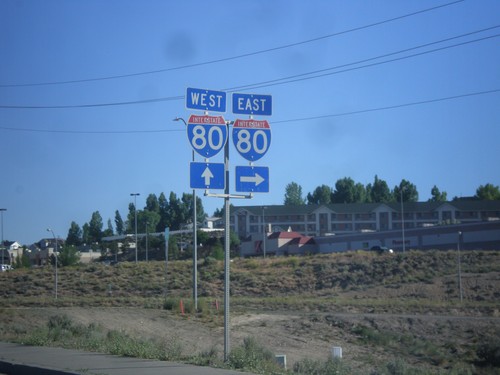
NV-225 North at I-80
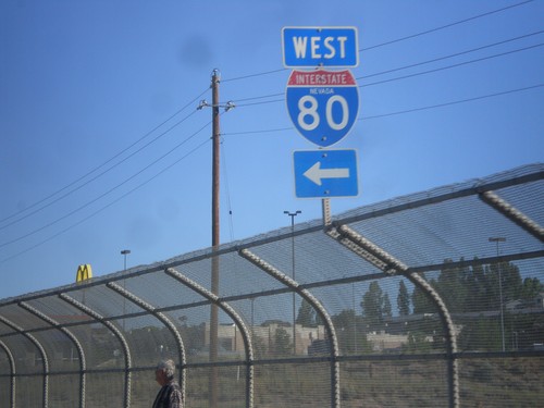
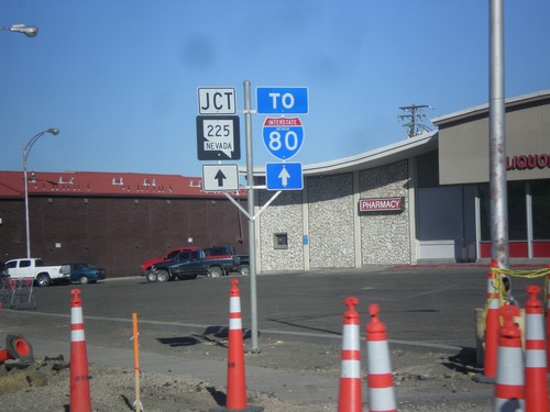
NV-225 north at I-80. Turn right for I-80 east; continue over freeway for I-80 west.
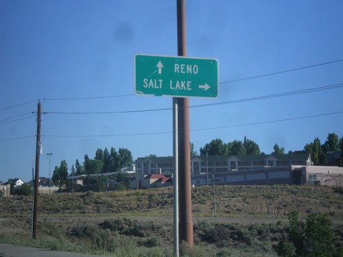
NV-225 North at I-80 East
NV-225 north at I-80 east (Exit 301) to Salt Lake. Continue over freeway for I-80 west to Reno.
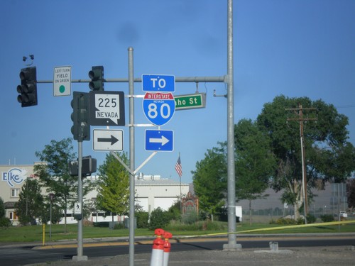
BL-80 West at NV-225 (To I-80)
BL-80 West at NV-225 North. Continue west on BL-80 (Idaho St.) for I-80.
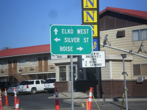
BL-80 West at NV-225
BL-80 West (Idaho Street) at NV-225 North. Use NV-225 north to Boise. Continue west on BL-80 to Elko West. Turn left for Silver St.
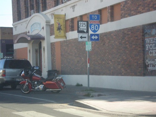
End NV-227 at BL-80 (Idaho St.)
End NV-227 west at BL-80 (Idaho St.) in downtown Elko. Use Idaho St. for access to I-80. Use Idaho St. west for access to NV-225.
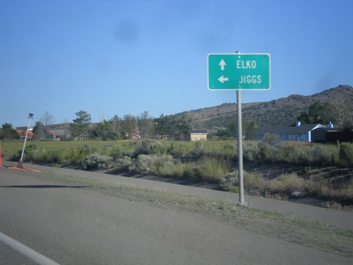
NV-227 West at NV-228
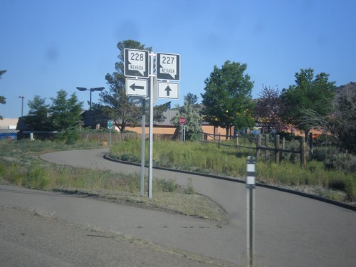
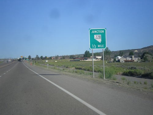
NV-227 West at NV-228 South. Use NV-228 south to Jiggs; continue west for NV-227 to Elko.
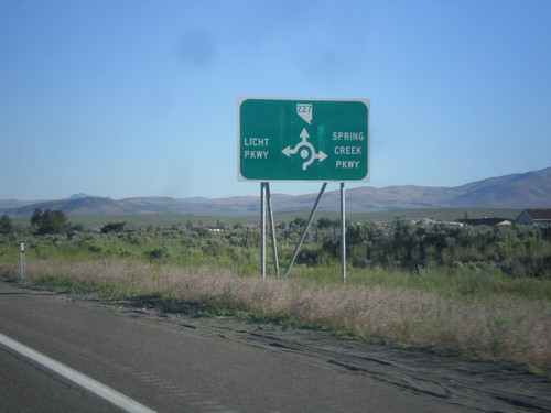
NV-227 West - Spring Creek Parkway and Licht Parkway
NV-227 west approaching roundabout at Spring Creek Parkway and Licht Parkway.
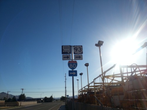
BL-80/NV-223 East At 6th St.
BL-80/NV-223 east (Humboldt Ave.) at 6th St in Wells. Turn right to continue east on BL-80/NV-223 and for I-80.
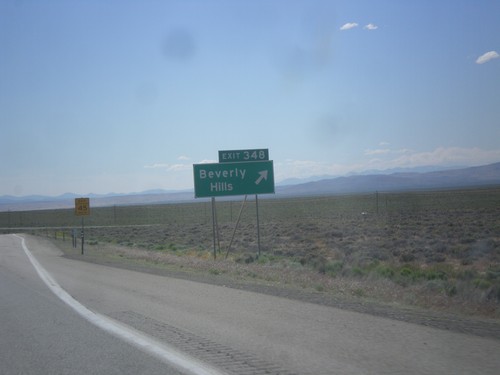
I-80 West - Exit 348
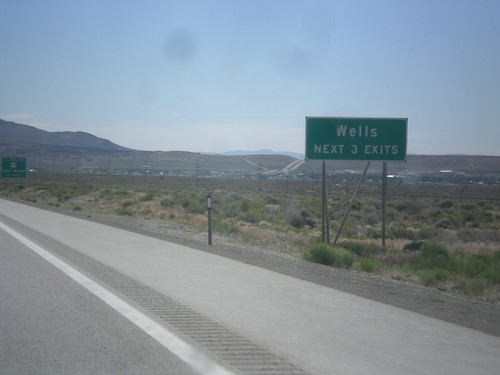
I-80 West at Exit 348 - Beverly Hills. This exit was formerly titled Crested Acres.
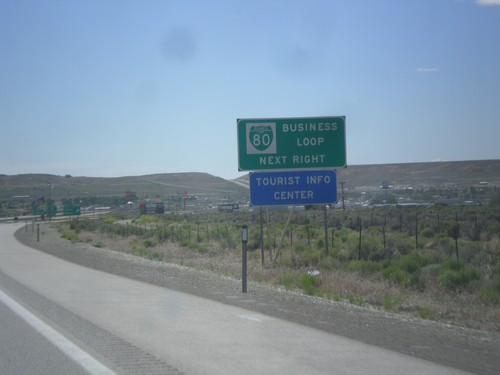
I-80 West - Business Loop
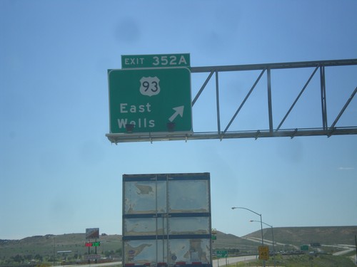
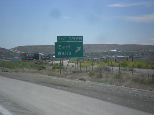
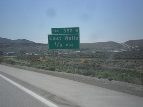
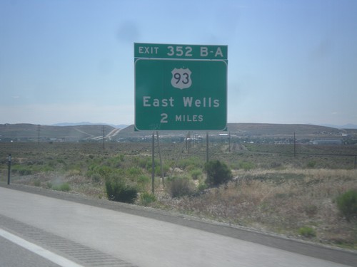
I-80 west approaching Exit 352A. This is the eastern end of the Wells business loop. Typically business loops are not posted on the main exit assembly in Nevada, rather they are on signs like this before the interchange.
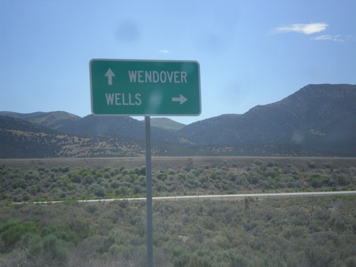
End NV-233 South at I-80 (Exit 378)
End NV-233 south at I-80 (Exit 378). Use I-80 west for Wells; I-80 east for Wendover.
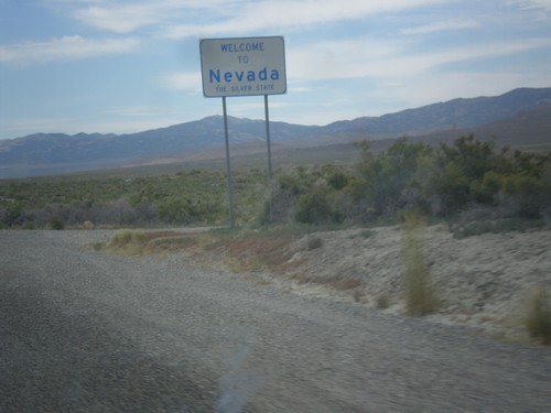
NV-233 West - Welcome To Nevada
Welcome to Nevada - The Silver State on NV-233 west. Taken at the Utah-Nevada state line.
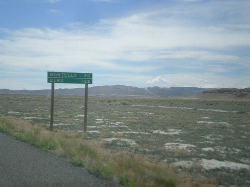
UT-30 West - Distance Marker
Distance marker on UT-30 west. Distance to Montello, and Elko. Both of those places are in Nevada.
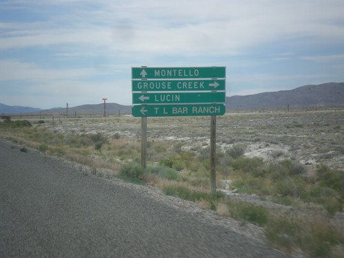
UT-30 West - Lucin and Grouse Creek Jct.
UT-30 west at Grouse Creek Road. Turn right for Grouse Creek, left for Lucin and T Bar Ranch. Continue west on UT-30 for Montello (Nevada).
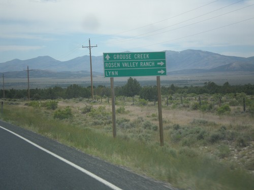
UT-30 West - Lynn Jct.
UT-30 west at junction to Lynn and Roden Valley Ranch. Continue west on UT-30 for Grouse Creek.
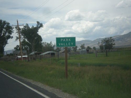
UT-30 West - Park Valley
Entering Park Valley on UT-30 west. Park Valley is a tiny community with not much more than a school and post office.
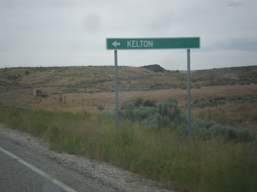
UT-30 West - Kelton Jct.
UT-30 west at turnoff to Kelton. Kelton is a ghost town that at one time was the rail head for all Idaho bound stage coaches.
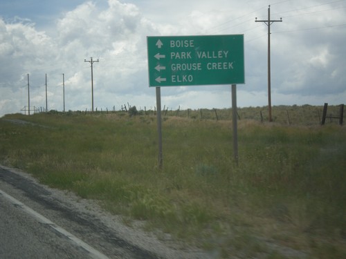
UT-30 West Approaching UT-42
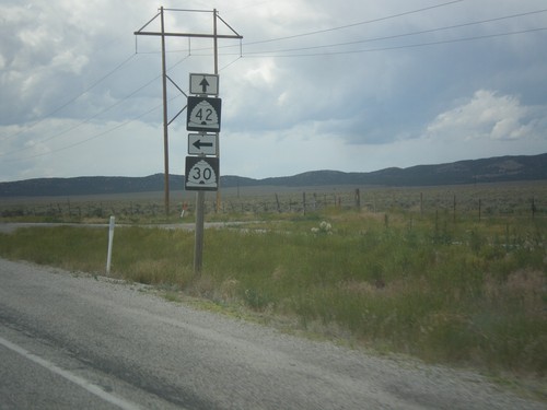
UT-30 west approaching UT-42. Use UT-42 for Boise (Idaho). Continue west (turn left) on UT-30 for Park Valley, Grouse Creek, and Elko (Nevada). Boise is an interesting destination city to put on this sign since Boise is on the entire other side of the state from where UT-42 crosses into Idaho. Malta, or even Burley would be more appropriate.
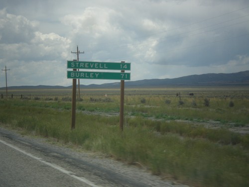
UT-30 West - Distance Marker
Distance marker on UT-30 west. Distance to Strevell, and Burley. Both of these communities are in Idaho, and both are accessed via UT-42.
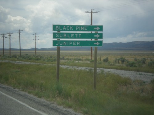
UT-30 West - Black Pine Road
UT-30 west at Black Pine Road jct. to Black Pine, Sublett, and Juniper. All three of those destinations are tiny communities within Idaho.
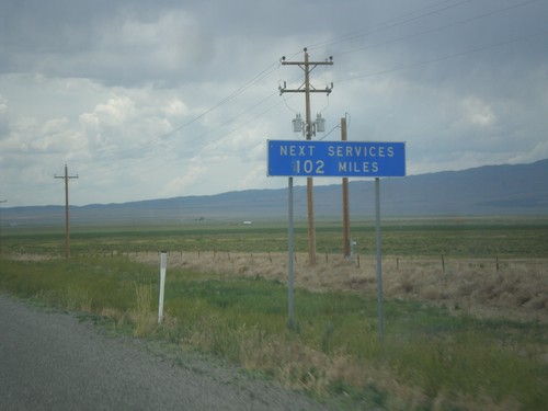
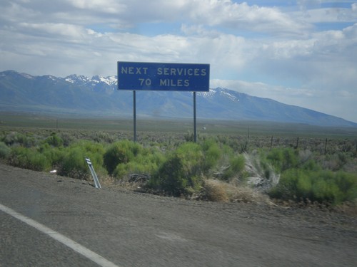
UT-30 East - Next Services 102 Miles
UT-30 west - Next Services 102 Miles. The next town with services is Montello, Nevada.
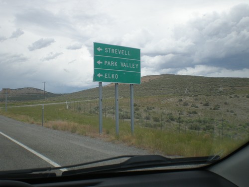
I-84 East at UT-30 - Exit 5
I-84 east at UT-30 junction. Turn left on UT-30 west for Strevell (Idaho), Park Valley, and Elko (Nevada).
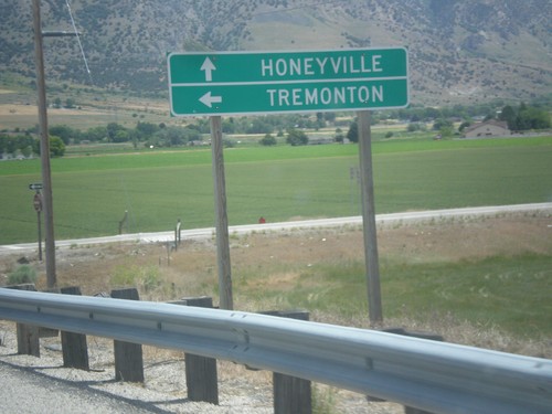
Begin UT-240 East at I-15 North
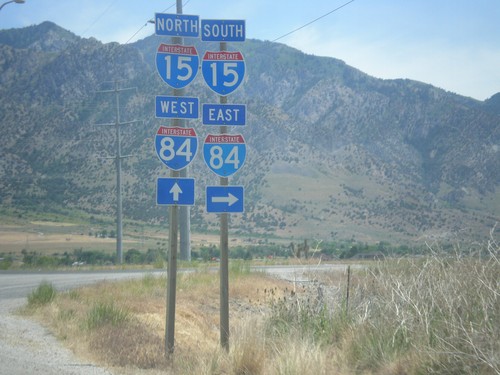
Begin UT-240 at I-15 north. Turn left for I-15 north to Tremonton; use UT-240 east to Honeyville.
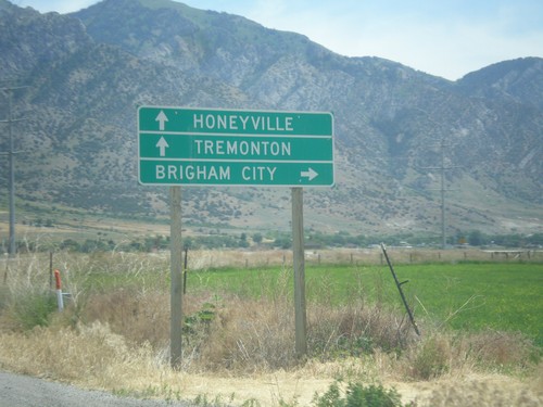
W 6900 North at I-15/I-84 (Exit 372)
W 6900 North at I-15/I-84 (Exit 372) in Honeyville. Turn right for I-15 South/I-84 East to Brigham City. Continue over freeway for I-15 North/I-84 West to Tremonton and Honeyville (via UT-240).
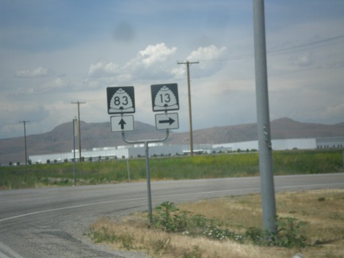
UT-13 North at UT-83
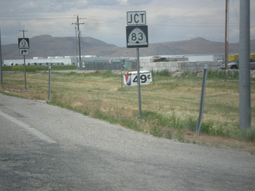
UT-13 north at UT-83 in Corrine. Continue straight for UT-83; turn right for UT-13 north.
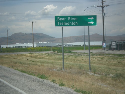
UT-13 North at UT-83
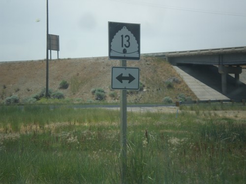
UT-13 north at UT-83. Turn right to continue north on UT-13 to Bear River and Tremonton.
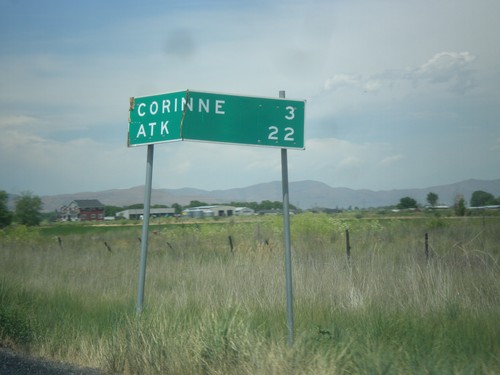
UT-13 North - Distance Marker
Distance marker on UT-13 north. Distance to Corrine, and ATK (an aerospace company).
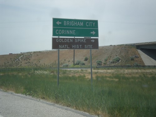
I-15 North at UT-13 - Exit 368 Offramp
I-15 North Exit 368 offramp at UT-13. Turn left for Brigham City; turn right for Corrine and Golden Spike National Historic Site.
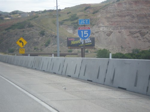
End I-215 North at I-15
End I-215 north at I-15 in North Salt Lake. There is no end sign on I-215, just a junction I-15 sign.
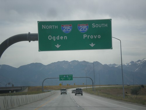
I-80 Exit 117 - I-215 Ramps
I-215/I-80 interchange, from I-80 east. Use left lanes for I-215 north to Ogden; right lanes for I-215 south to Provo.
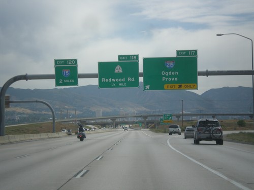
I-80 East - Exits 117, 118, and 120
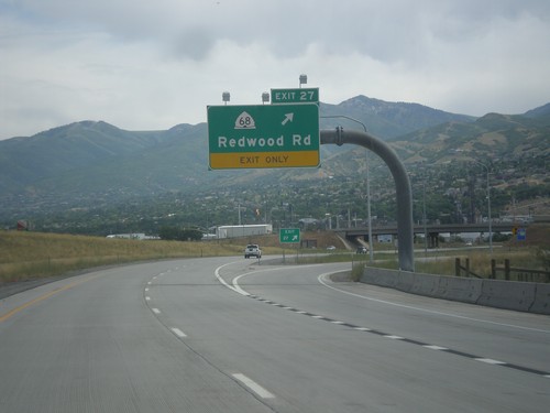
I-80 east at Exit 117 - I-215/Odgen/Provo. I-215 is the Salt Lake City Belt Route. Approaching Exit 118 - UT-68/Redwood Road, and Exit 120 - I-15.
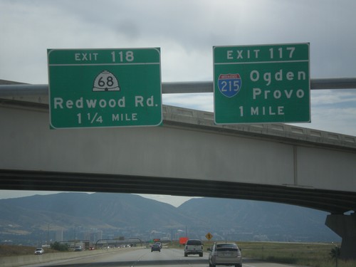
I-80 East - Exits 117 and 118
I-80 east at Exit 117 - I-215/Ogden/Provo. Approaching Exit 118 - UT-68/Redwood Road.
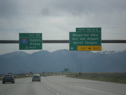
I-80 East - Exits 115 and Exit 117.
I-80 east at Exit 115 A-C - Bangerter Highway/SLC International Airport/North Temple. Approaching Exit 117 - I-215/Ogden/Provo. In the I-215 shield is the text UTAH. More and more of these types of shields with the state names are appearing around Utah.
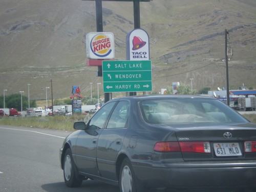
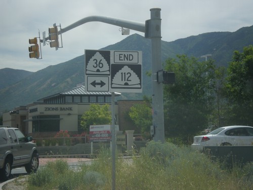
End UT-36 North at I-80
End UT-36 north at Hardy Road and I-80 freeway entrance. Use left lane for I-80 west to Wendover; right lane for I-80 east to Salt Lake.
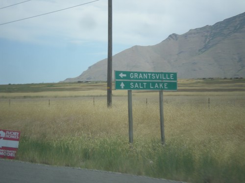
UT-38 North at UT-112 West
UT-38 North at UT-112 West to Grantsville. Continue north on UT-36 to Salt Lake.
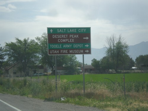
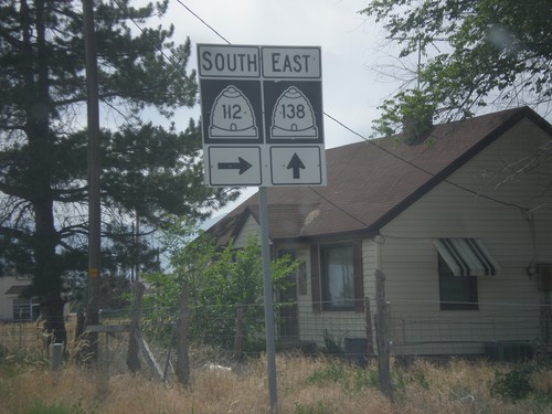
UT-138 East at UT-112
UT-138 east at UT-112 east to Deseret Peak Complex, Utah Fire Museum, and Tooele Army Depot.
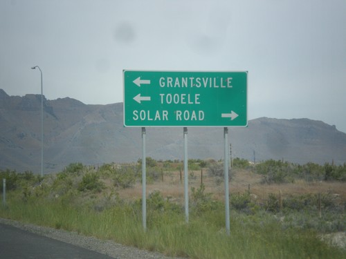
I-80 East Exit 84 Offramp at UT-138
I-80 East Exit 84 Offramp at UT-138. Turn left on UT-138 to Grantsville and Tooele. Right for Solar Road.
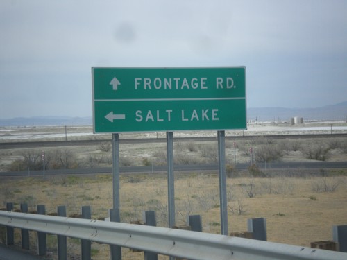
I-80 East Onramp at Exit 4 Interchange
I-80 East onramp at Exit 4 interchange. Turn left for Salt Lake; continue straight for Frontage Road. The next exit eastbound is 37 miles at the other end of the Salt Flats.
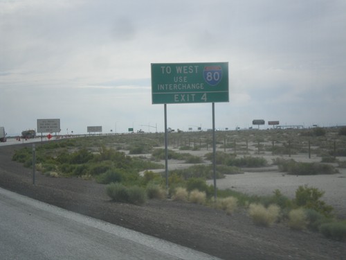
I-80 West Traffic Use Exit 4
End BL-80/UT-58 east at I-80. The Exit 2 ramp only has eastbound interstate access. To use I-80 westbound, take Exit 4.
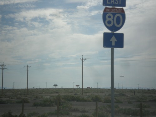
BL-80/UT-58 East at I-80
BL-80/UT-58 East at I-80 east onramp. This is the eastern end of the Wendover business loop.
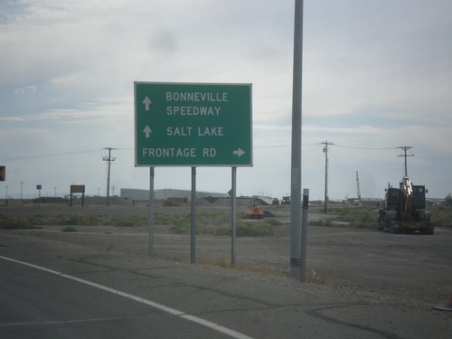
BL-80/UT-58 East at Frontage Road
BL-80/UT-58 East at Frontage Road. Continue on BL-80/UT-58 for I-80 east to Bonneville Speedway and Salt Lake.
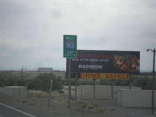
BL-80/UT-58 East Approaching I-80
BL-80/UT-58 East approaching I-80 in Wendover. For I-80 westbound, go east on I-80 to Exit 4.
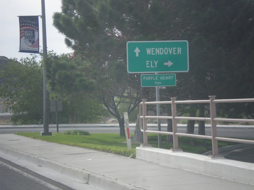
BL-80 East at Alt. US-93 South
BL-80 East/Alt. US-93 South (Wendover Blvd.) at Alt. US-93 south to Ely. Continue straight for BL-80 east to Wendover (Utah).
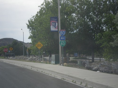
Wendover Blvd. at BL-80/Alt. US-93 Jct.
Wendover Blvd. east at BL-80/Alt. US-93 jct. Turn left for BL-80 West/Alt. US-93 North to I-80. Continue straight on Wendover Blvd. for BL-80 East/Alt. US-93 South.
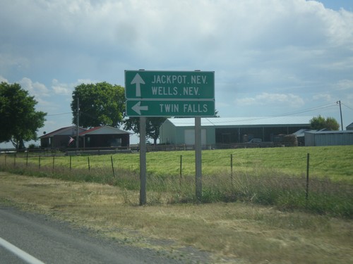
US-93 South at ID-74
US-93 south at ID-74. Turn left on ID-74 north for Twin Falls. Continue south on US-93 for Jackpot, NV and Wells, NV.
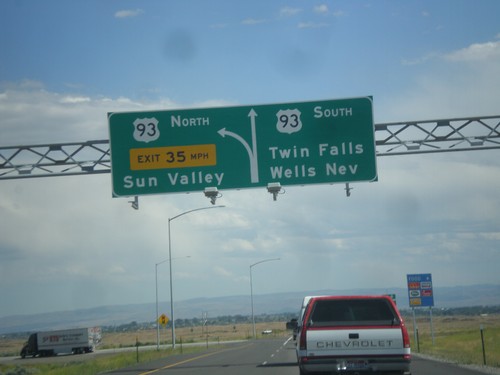
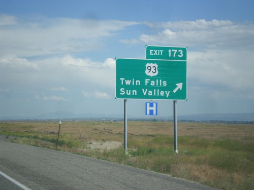
I-84 East at Exit 173 Offramp
I-84 east - Exit 173 offramp. Use right lane for US-93 south to Twin Falls and Wells, Nev. Use left lane for US-93 north to Sun Valley.
