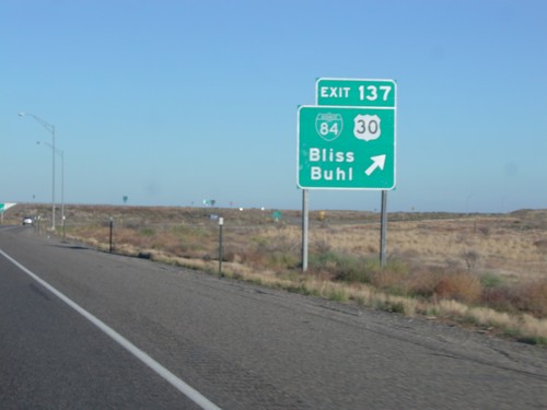
Signs From October 2014
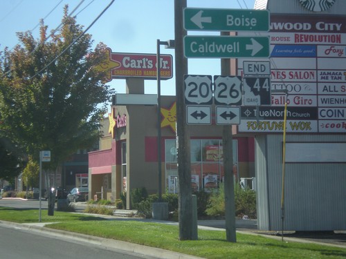
End ID-44 South at US-20/US-26
End ID-44 south (Glenwood St.) at US-20/US-26 (Chinden Blvd.). Turn right for US-20/US-26 west to Caldwell; left to Boise.
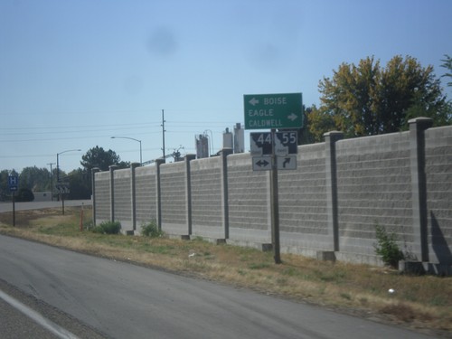
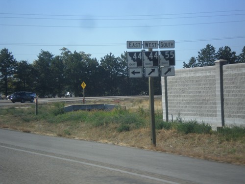
ID-55 South at ID-44
ID-55 south at ID-44. Use ID-44 west for Boise; use ID-44 East/ID-55 South for Eagle and Caldwell.
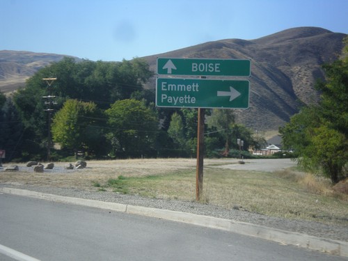
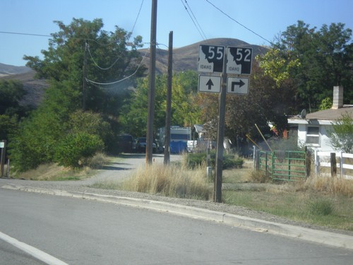
ID-55 South at ID-52
ID-55 south at ID-52 west to Emmett and Payette. Continue south on ID-55 for Boise.
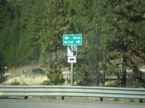
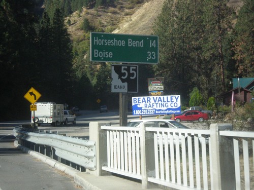
End Banks-Lowman Highway at ID-55
End Banks-Lowman Highway at ID-55. Use ID-55 north for McCall; ID-55 south for Boise.
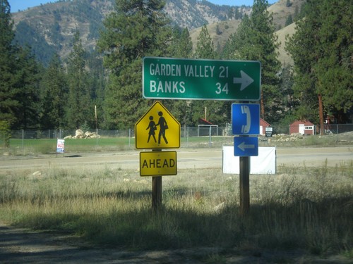
ID-21 South - Banks-Lowman Highway Jct.
ID-21 South at Banks-Lowman Highway Jct. Use the Banks-Lowman Highway for Garden Valley and Banks.
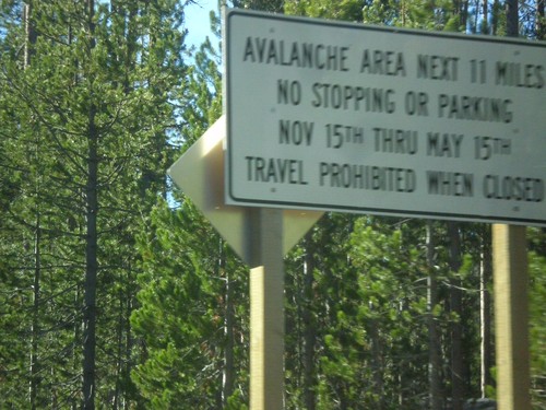
ID-21 South - Avalanche Area
Entering Avalanche Zone on ID-21 south. This area south of Banner Summit has frequent avalanches in the winter, which causes road closures.
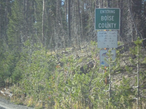
ID-21 - Entering Boise County
Entering Boise County along ID-21 south. The Boise-Custer County Line is located on Banner Summit - Elevation 7037 Feet.
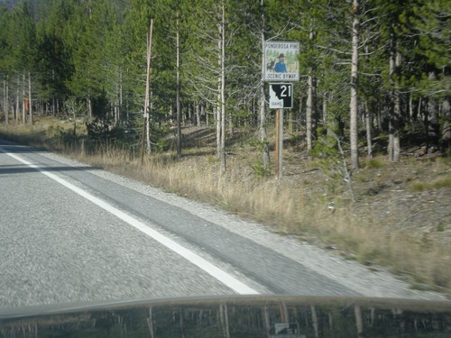
ID-21 North - Ponderosa Pine Scenic Byway
ID-21 North - Ponderosa Pine Scenic Byway. The Ponderosa Pine Scenic Byway runs along ID-21 between Boise and Stanley.
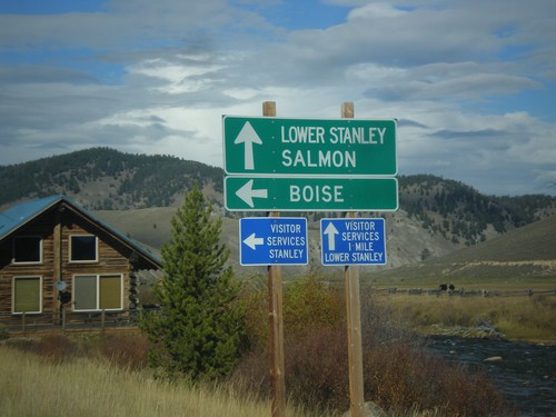
ID-75 North at ID-21 South
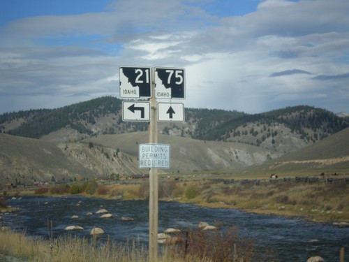
ID-75 North at ID-21 South. Use ID-75 north for Lower Stanley and Salmon. Use ID-21 south for Boise. The Salmon River can be seen in the background of the picture.
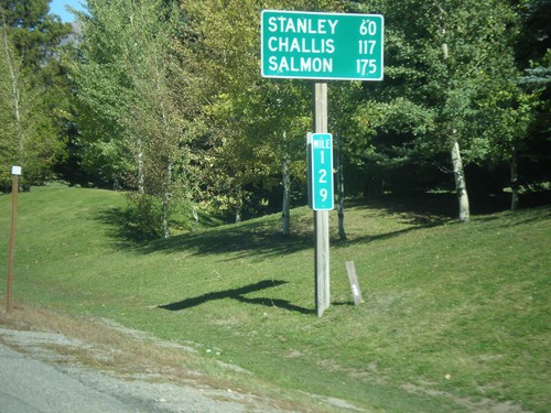
ID-75 North - Distance Marker
Distance marker on ID-75 north. Distance to Stanley, Challis, and Salmon. Milemarker 129. The milemarkers on ID-75 continue reflect the distance from the Idaho-Nevada state line (via US-93) rather than the beginning of ID-75. Originally, ID-75 was signed as US-93.
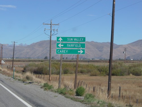
ID-75 North at US-20
ID-75 north at US-20. Use US-20 east for Carey; US-20 west for Fairfield. Continue north to Sun Valley.
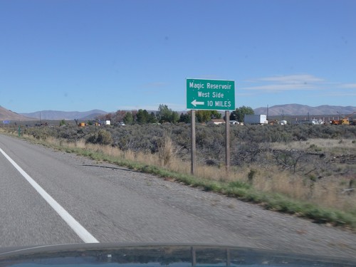
ID-75 North - Magic Reservoir West Side
ID-75 North at junction to Magic Reservoir - West Side. Magic Reservoir lies on the Big Wood River south of Sun Valley.
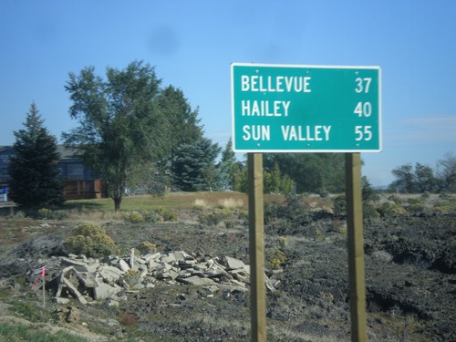
ID-75 North - Distance Marker
Distance marker on ID-75 north. Distance to Bellevue, Hailey, and Sun Valley.
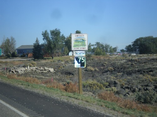
ID-75 North - Sawtooth Scenic Byway
ID-75 North - Sawtooth Scenic Byway. The Sawtooth Scenic Byway runs between Shoshone and Stanley along ID-75.
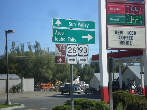
Begin ID-75 North at US-26/US-93
US-26/US-93 at ID-75 in Shoshone. Turn right for US-26 East/US-93 North to Arco and Idaho Falls. Continue straight for ID-75 to Sun Valley.
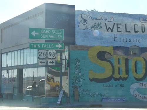
US-26 East at US-93
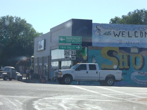
US-26 east at US-93 in downtown Shoshone. Turn right for US-93 south to Twin Falls; turn left for US-26 East/US-93 North to Idaho Falls (via US-20) and Sun Valley (via ID-75). US-26 joins US-93 northbound to Arco.
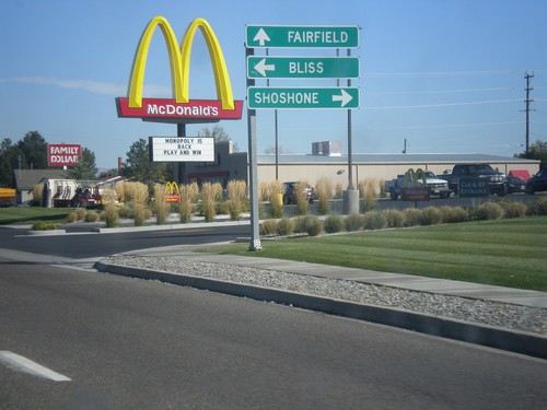
ID-46 North at US-26
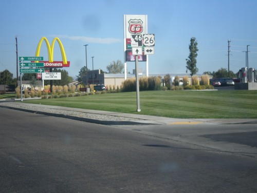
ID-46 north at US-26. Turn right on US-26 east for Shoshone; left on US-26 west for Bliss. Continue north on ID-46 for Fairfield.
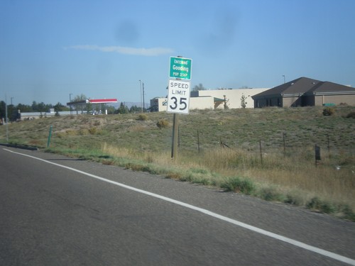
ID-46 North - Entering Gooding
Entering Gooding on ID-46 north. Gooding is the county seat of Gooding County.
