Signs From May 2015
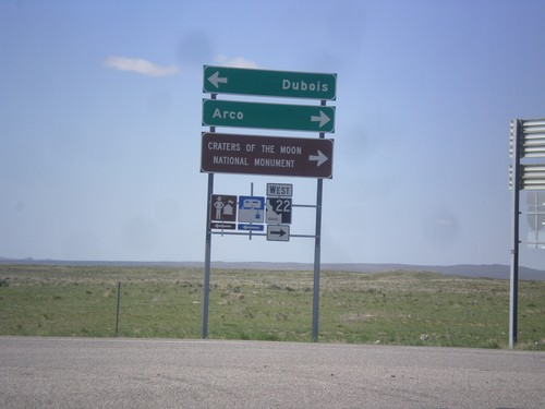
I-15 South Offramp at ID-22
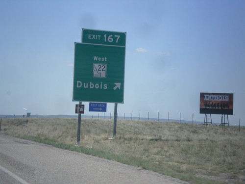
I-15 south (Exit 167) offramp at ID-22. Turn right for ID-22 west to Craters of the Moon National Monument and Arco. Turn left for Dubois.
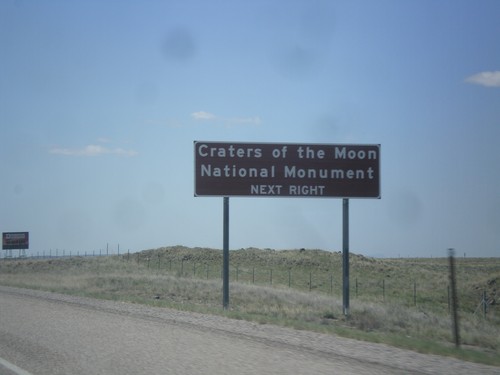
I-15 South Approaching Exit 167
I-15 south approaching Exit 167. Use Exit 167 for Craters of the Moon National Monument.
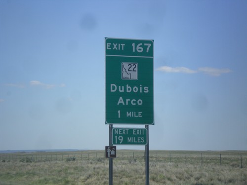
I-15 South - Exit 167
I-15 South approaching Exit 167 - ID-22/Dubois/Arco. The actual sign at the exit omits Arco from the destination.
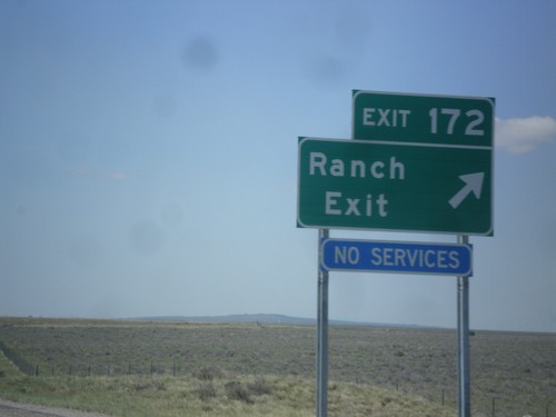
I-15 South - Exit 172
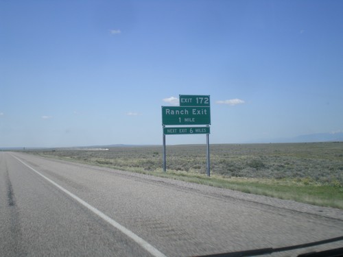
I-15 south approaching Exit 172 - Ranch Exit. The destination Ranch Exit was assigned to this interchange, after years of no have a destination. Before no destination, the exit was marked US Sheep Experiment Station.
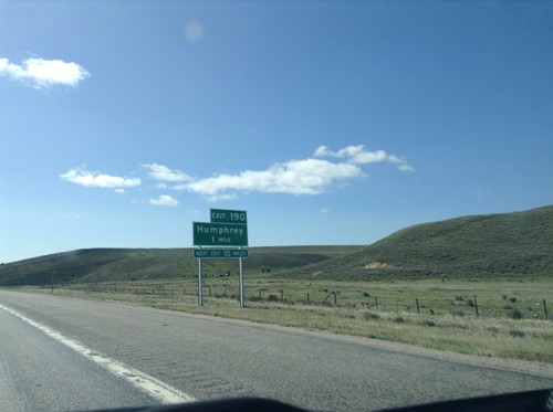
I-15 South - Exit 190
I-15 south approaching Exit 190 - Humphrey. This is the first exit on I-15 south in Idaho.
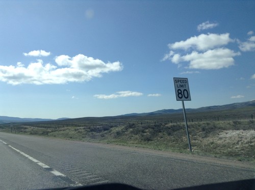
I-15 South - Speed Limit 80 MPH
Speed Limit 80 MPH on I-15 south, just south of the Idaho-Montana border. The speed limit along I-15 is 80 MPH to Idaho Falls.
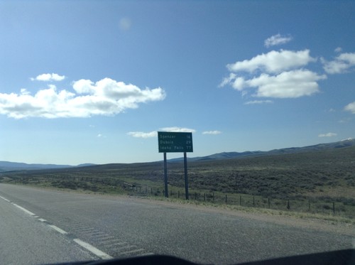
I-15 South - Distance Marker
First distance marker in Idaho along I-15 south. Distance to Spencer, Dubois, and Idaho Falls.
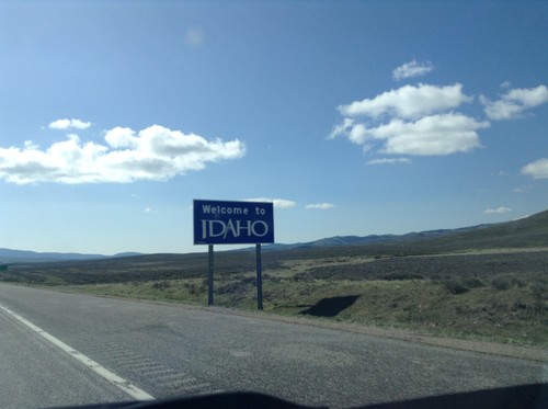
I-15 South - Welcome To Idaho
Welcome to Idaho on I-15 south at the Idaho-Montana stateline on Monida Pass.
I-15 South - Entering Clark County
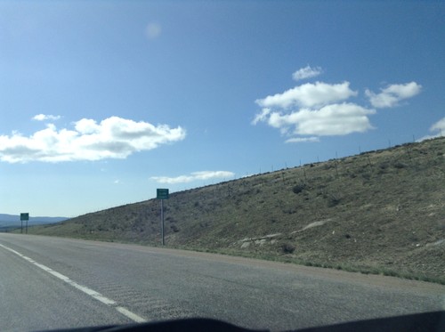
I-15 south Entering Clark Count and Leaving Montana. Taken on Monida Pass on the Continental Divide between Idaho and Montana.
I-15 South - Exit 0
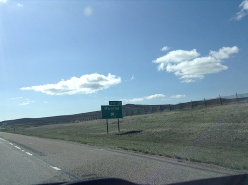
I-15 south at Exit 0 - Monida. This is the last exit southbound along I-15 in Montana.
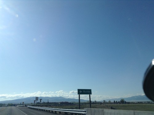
BL-15 North at I-15
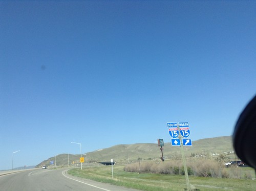
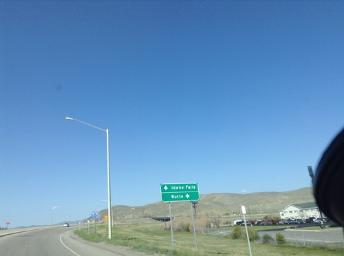
BL-15 North at I-15. Merge right for I-15 north to Butte; left for I-15 south to Idaho Falls. This is the northern end of the Dillon business loop.
BL-15 North at MT-41 - Dillon
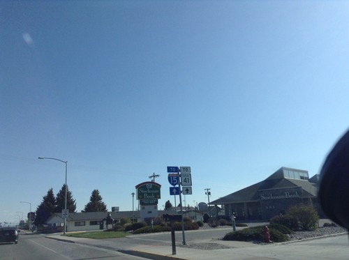
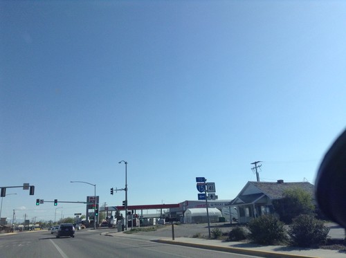
BL-15 North at MT-41 in Dillon. Turn left for BL-15 (To I-15); straight for MT-41.
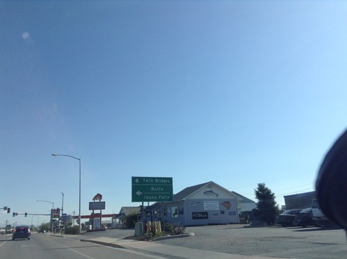
BL-15 North at MT-41
BL-15 north at MT-41 in Dillon. Turn left for I-15 to Butte and Idaho Falls. Continue straight for MT-41 north to Twin Bridges.
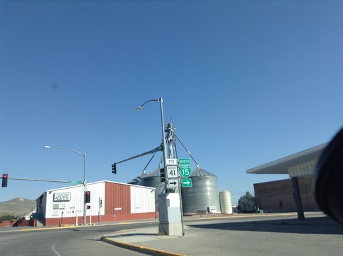
BL-15 North/To MT-41 - Dillon
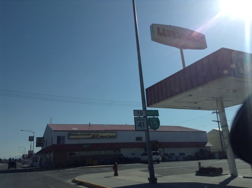
BL-15 North/To MT-41 on Helena St. at Montana St. Turn left on Montana St. to continue north on BL-15.
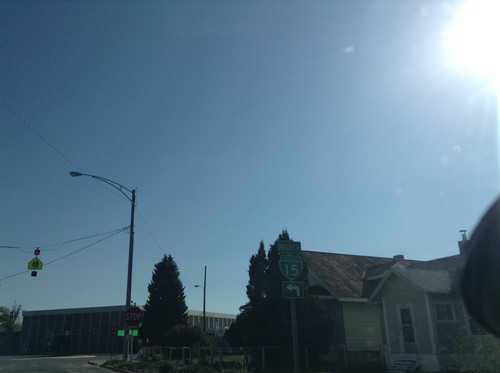
BL-15 North - Dillon
BL-15 North (Atlantic St.) at Helena St. Turn left on Helena St. to continue north on BL-15.
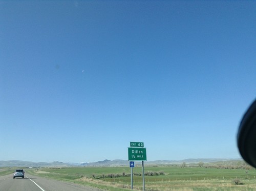
I-15 South - Exit 62
I-15 south approaching Exit 62 - Dillon. This is the southern end of the Dillon business loop.
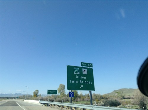
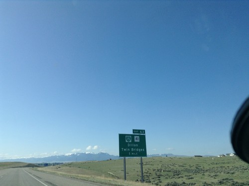
I-15 South - Exit 63
I-15 south at Exit 63 - BL-15/MT-41/Dillon/Twin Bridges. This is the northern end of the Dillon business loop.
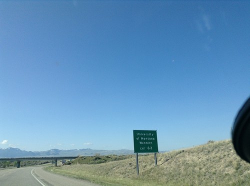
I-15 South - University of Montana Western
Use Exit 63 for University of Montana Western on I-15 south.
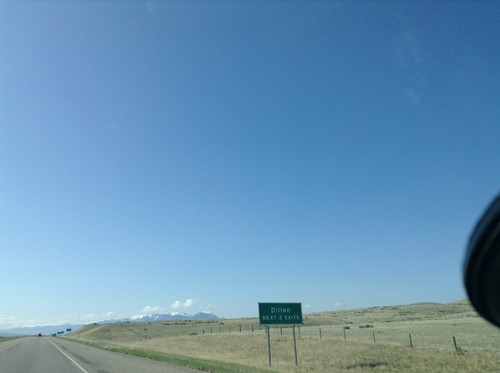
I-15 South - Dillon Exits
I-15 south - Dillon Next 2 Exits. Dillon is the county seat of Beaverhead County and home to the University of Western Montana.
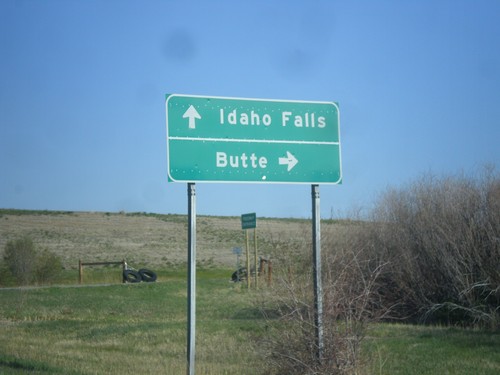
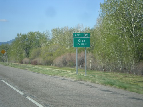
I-15 Exit 85 Onramp
I-15 Exit 85 Onramp at Glen interchange. Turn right for I-15 north to Butte; continue under the freeway for I-15 south to Idaho Falls.
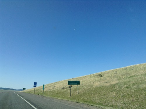
I-15 South - Deer Lodge Pass
I-15 south at Deer Lodge Pass - Elevation 5902 Feet. This is the Continental Divide. Southbound traffic enters the Missouri River drainage (via the Big Hole River, and Jefferson River). Northbound traffic enters the Columbia River drainage (via the Clark Fork, and Pend Oreille River). I-15 crosses the Continental Divide three times in Montana. Once at Monida Pass at the Idaho-Montana state line. Here at Deer Lodge Pass, and north of Butte and Elk Park Pass.
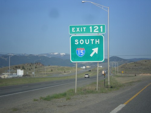
I-15 South/I-90 West Split
I-15 South/I-90 West Split at Exit 121. Merge right for I-15 south; continue straight for I-90 west.
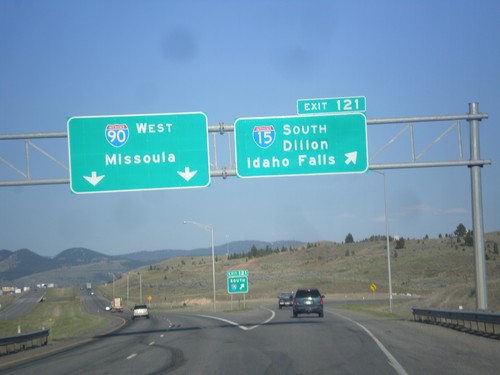
I-15 South/I-90 West - Exit 121
I-15 South/I-90 West at Exit 121 - I-15 South/Dillon/Idaho Falls. Continue west on I-90 for Missoula.
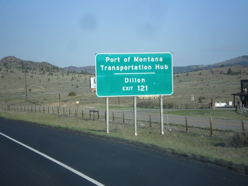
I-15 South/I-90 West - Exit 121
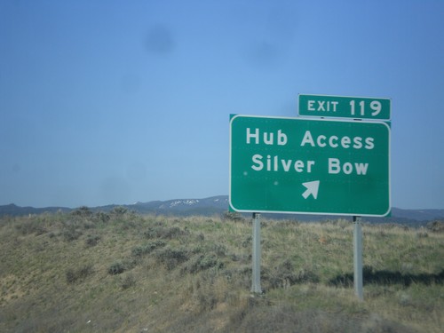
I-15 South/I-90 West approaching Exit 121. Use Exit 121 (I-15 South) for Dillon and Port of Montana Transportation Hub.
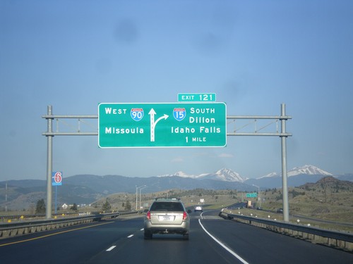
I-15 South/I-90 East - Exit 121
I-15 South/I-90 East approaching Exit 121 - I-15 South/Dillon/Idaho Falls. Continue west on I-90 for Missoula.
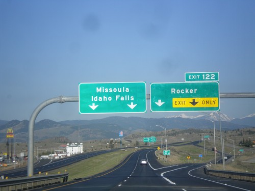
I-15 South/I-90 West - Exit 122
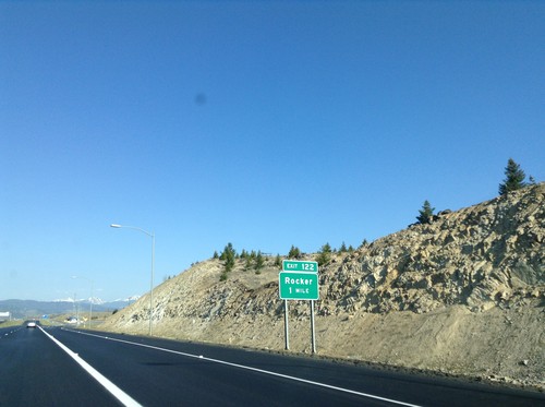
I-15 South/I-90 West at Exit 122 - Rocker. Continue south on I-15 for Idaho Falls; west on I-90 for Missoula.
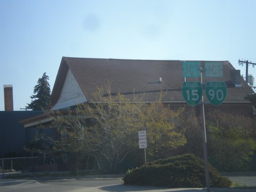
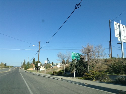
BL-15 South/BL-90 West (Montana St.) Approaching Iron St.
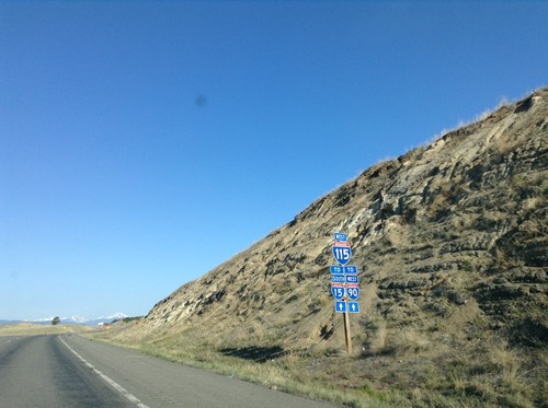
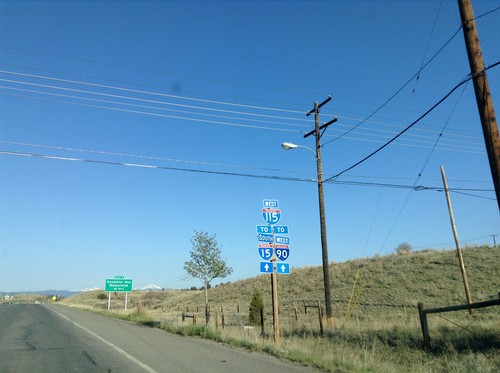
BL-15 South/BL-90 West (Montana St.) Approaching Iron St (BL-15/BL-90) which leads into I-115.
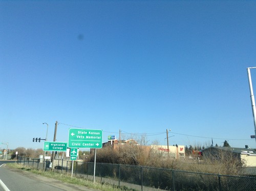
I-15 South/I-90 West - BL-15/BL-90/MT-2 Jct
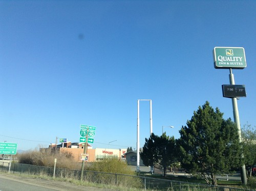
I-15 South/I-90 West offramp at BL-15/BL-90/MT-2 Jct (Harrison Ave.) in Butte. Turn right for BL-15/BL-90 to Civic Center; left for MT-2 (not signed) to State Korean Veteran Memorial and Highlands College.
I-15 South/I-90 West - BL-15/BL-90/MT-2 Jct
I-15 South/I-90 West offramp at BL-15/BL-90/MT-2 Jct (Harrison Ave.) in Butte. Turn right for BL-15/BL-90; left for MT-2 (not signed).
BL-15 South/BL-90 East/MT-2 South Approaching I-15/I-90
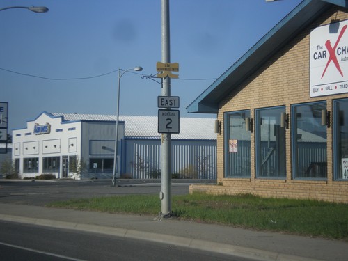
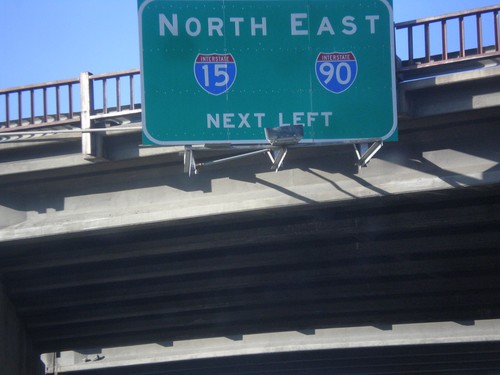
BL-15 South/BL-90 East/MT-2 South approaching I-15 North/I-90 East onramp in Butte.
I-15 South Approaching I-90
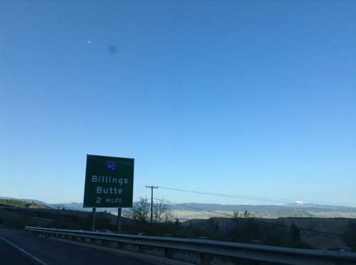
I-15 south approaching I-90 (Exit 129) to Billings and Butte. I-15 joins I-90 westbound through Butte.
I-15 South/I-90 West - Exit 127
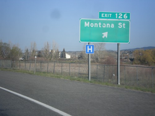
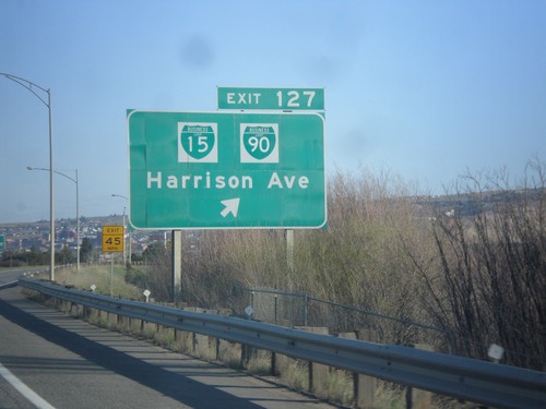
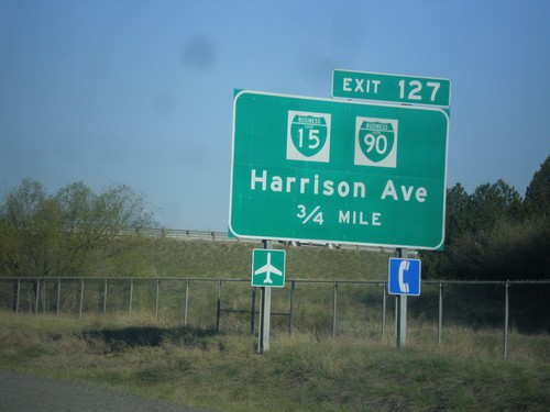
I-15 South/I-90 West approaching Exit 127 - BL-15/BL-90/Harrison Ave.
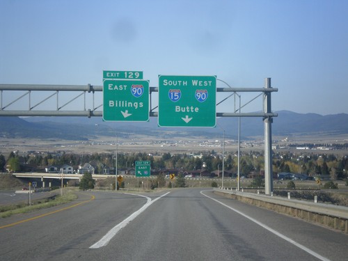
I-15 South at I-90
I-15 south at I-90. Use left Exit 129 for I-90 East to Billings. Use right lane for I-15 South/I-90 West to Butte. I-15 joins I-90 west through Butte.
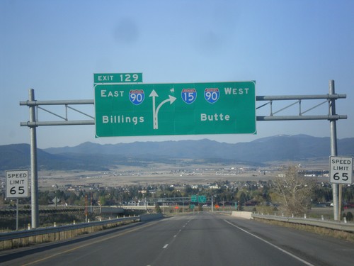
I-15 South - Exit 129
I-15 south approaching Exit 129 - I-90 East/Billings. Continue south on I-15/I-90 West to Butte. I-15 joins I-90 through Butte.
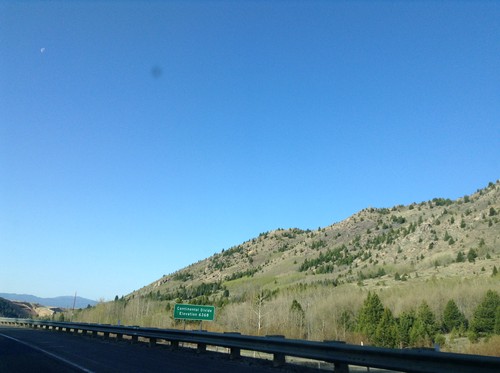
I-15 South - Elk Park Pass
I-15 south at Elk Park Pass (Continental Divide). Elevation 6368 Feet. This is also the county boundary between Silver Bow and Jefferson County.
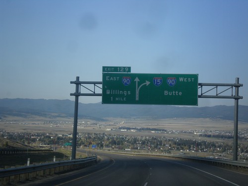
I-15 South - Exit 129
I-15 south approaching Exit 129 - I-90 East/Billings. I-15 South joins I-90 West to Butte.
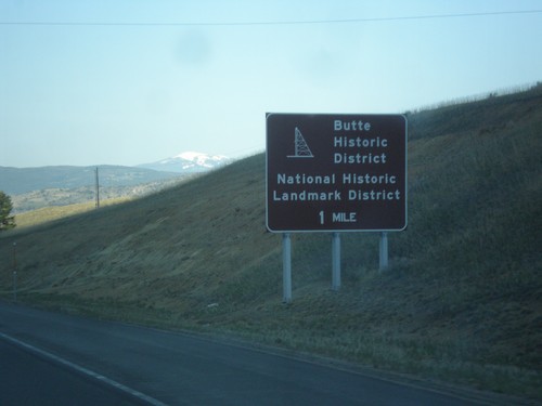
I-15 South - Butte Historic District
I-15 south approaching I-90. Use I-90 West (next exit) for the Butte Historic District.
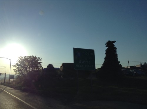
US-12 East at I-15 South Onramp
US-12 east at I-15 south to Butte. US-287 joins US-12 eastbound here. This is the southern end of the I-15 Business Loop in Helena.
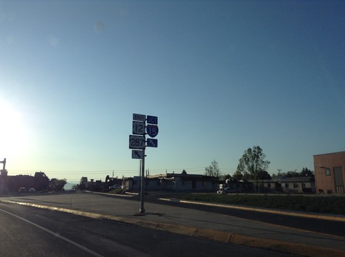
US-12 East/BL-15 South Approaching I-15/US-287
US-12 East/BL-15 South (Prospect Ave.) approaching I-15/US-287 in Helena.
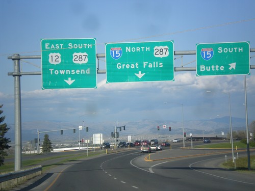
US-12 West/BL-15 South at I-15/US-287
US-12 West/BL-15 South (Prospect Ave.) at I-15. Turn right for I-15 south to Butte; stay right for I-15/US-287 North to Great Falls. Continue straight for US-12 East/US-287 South/Townsend. This is the southern end of the Helena business loop.
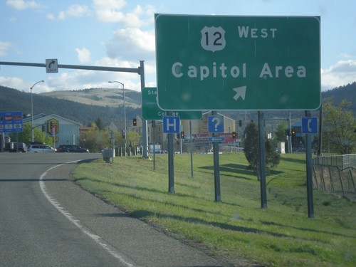
I-15 South - Exit 192 Offramp at US-12/US-287/BL-15
I-15 South - Exit 192 Offramp at US-12/US-287/BL-15. Merge right for US-12 West/Capitol Area (Prospect Ave.)
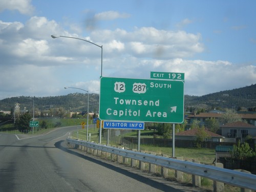
I-15 South - Exit 192
I-15 south at Exit 192 - US-12/US-287 South/Townsend/Capitol Area. US-287 leaves I-15 southbound here.
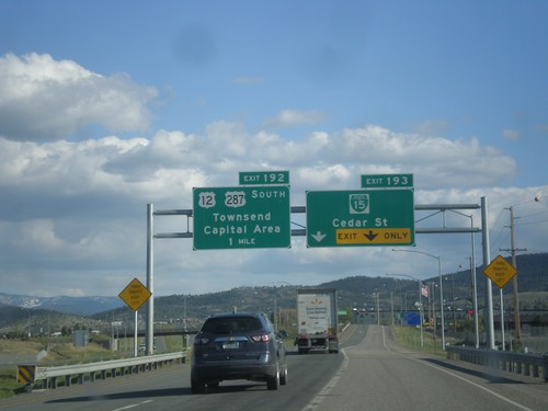
I-15 South - Exits 193 and 192
I-15 south at Exit 193 - BL-15/Cedar St. Approaching Exit 192 - US-12/US-287 South/Townsend/Capital Area.
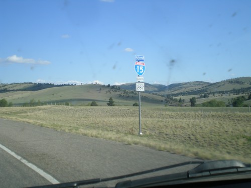
I-15 South/US-287 South - Lewis and Clark County
The US-287 shield is incorrectly displayed as a MT-287 shield. There is an actual MT-287, in southwestern Montana.
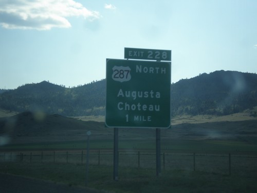
I-15 South - Exit 228
I-15 south approaching Exit 228 - US-287 North/Augusta/Choteau. US-287 joins I-15 south to Helena.
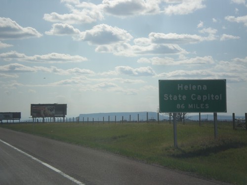
I-15 South - Helena Distance
I-15 South - Helena State Capitol distance. A similar sign is posted on I-15 leaving Butte.
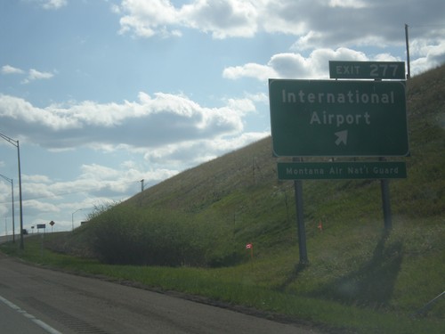
I-15 South - Exit 277
I-15 south at Exit 277 - International Airport. Use Exit 277 for the Montana Air National Guard.
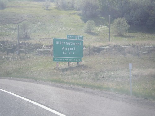
MT-3 Onramp onto I-15 North - Exit 277
MT-3 Onramp onto I-15 North approaching Exit 277 - International Airport. Use Exit 277 for Montana Air National Guard. This is the west end of MT-3.
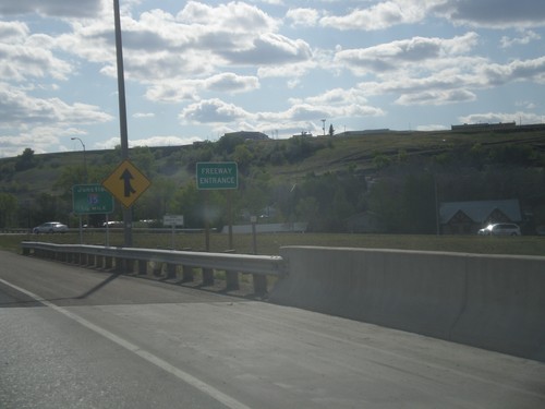
US-89 North/MT-3/MT-200 West - Freeway Entrance
Freeway Entrance on US-89 North/MT-3/MT-200 West in Great Falls.
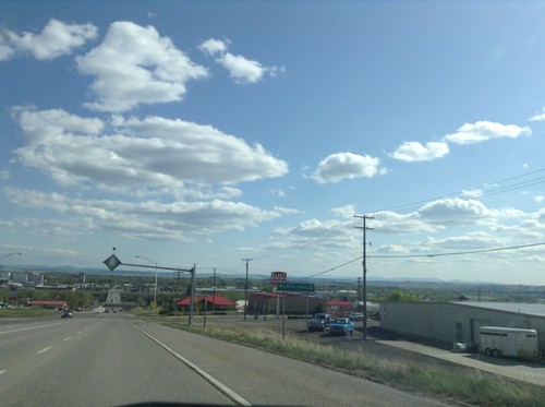
US-87 South - Black Eagle
Entering Black Eagle on US-87 south. Black Eagle is an unincorporated community on the north side of Great Falls. The city in the back ground is Great Falls proper.
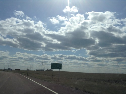
US-87 South at MT-80 and MTS-223
US-87 South at MT-80 and MTS-223. Use MT-80 for Fort Benton; use MTS-223 for Chester and Tiber Dam.
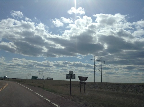
US-87 South Approaching MT-80 and MTS-223
US-87 South Approaching MT-80 and MTS-223, above Fort Benton, Montana.
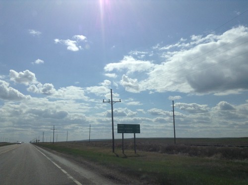
US-87 South - Distance Marker
Distance marker on US-87 south. Distance to Loma, Fort Benton, and Great Falls.
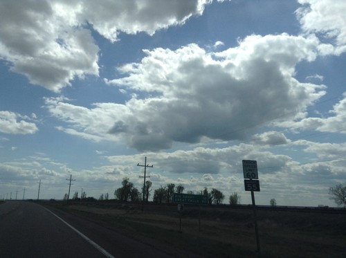
US-87 South - Distance Marker
Distance marker on US-87 south. Distance to Big Sandy and Great Falls. Truck Speed Limit - 60 MPH/Truck Night Speed Limit - 55 MPH.
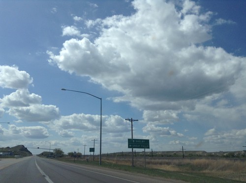
US-2 West at US-87 South
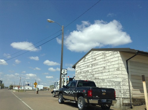
US-2 west approaching US-87 south. Use US-87 south for Great Falls; continue west on US-2 for Shelby.
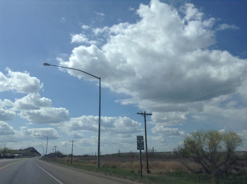
US-2 West Approaching US-87 South
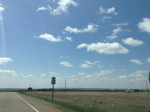
US-2 west approaching US-87 south. This is the northern end of US-87.
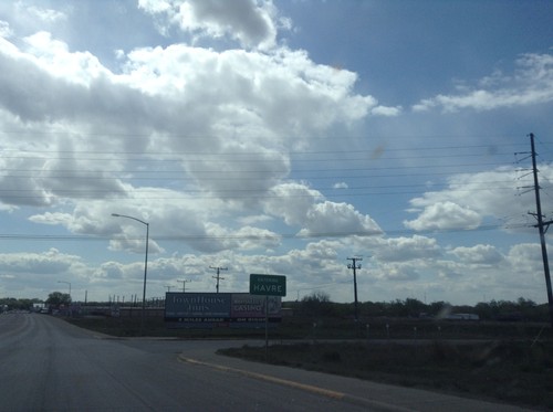
US-2 West - Entering Havre
Entering Havre on US-2 west. Havre is the county seat of Hill County, and the 8th largest city in Montana (as of 2015). Is the largest city on the hi-line in Montana.
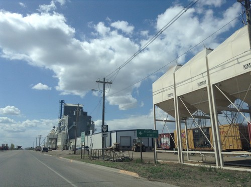
US-2 West at MTS-240 South
US-2 West at MTS-240 South to McClelland Ferry. The McClelland Ferry crosses the Missouri River south of Chinook.
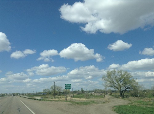
US-2 West Approaching MTS-241
US-2 west approaching MTS-241 north to Harlem and Turner. Continue west on US-2 for Havre.
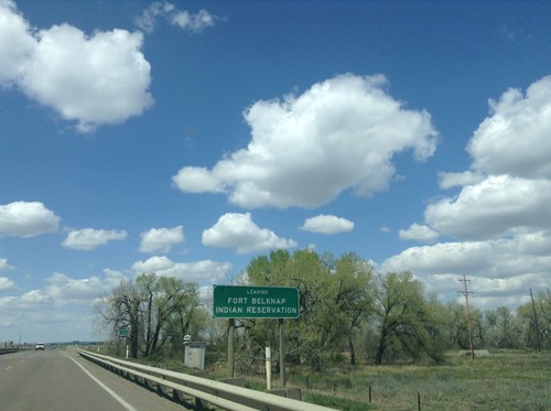
US-2 West - Leaving Fort Belknap Indian Reservation
Leaving Fort Belknap Indian Reservation on US-2 west.
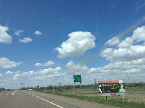
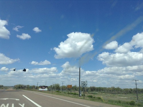
US-2 West Approaching MT-66
US-2 west approaching MT-66. Turn left on MT-66 south for Hays and Jct. US-191. Continue west on US-2 for Chinook.
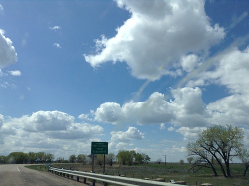
US-2 West - Entering Fort Belknap Indian Reservation
Entering Fort Belknap Indian Reservation on US-2 west.
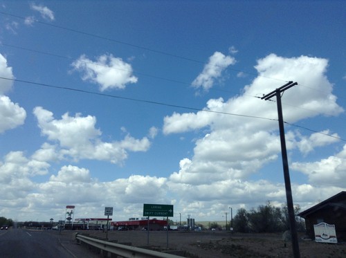
US-2 West/US-191 North at US-2/US-191 Split
US-2 West/US-191 North at US-2/US-191 split. Turn right for US-191 north to Loring and Swift Current (SK, Canada).
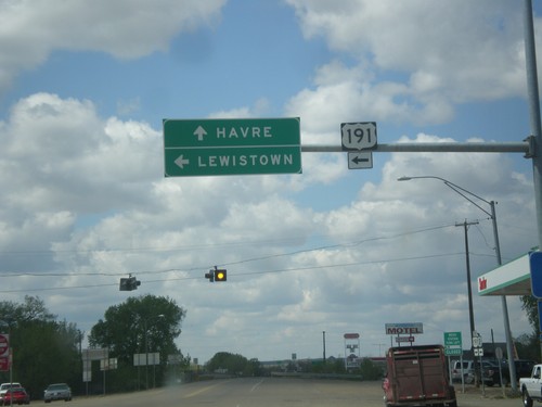
US-2 West at US-191
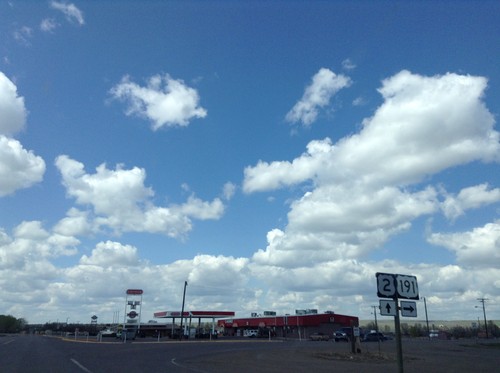
US-2 west at US-191 south to Lewistown. Continue east on US-2 to Havre. US-191 joins US-2 west through Malta.
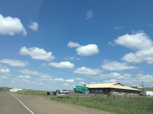
US-2 West - Distance Marker
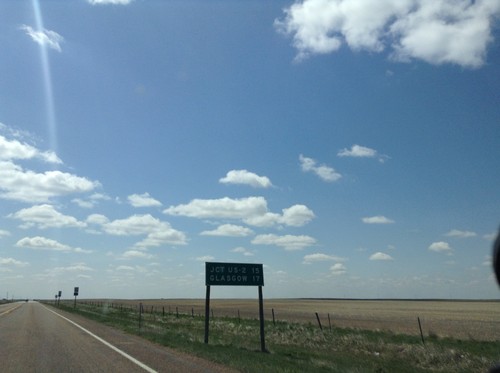
Distance marker on US-2 west, on the west edge of Glasgow. Distance to Hinsdale and Malta.
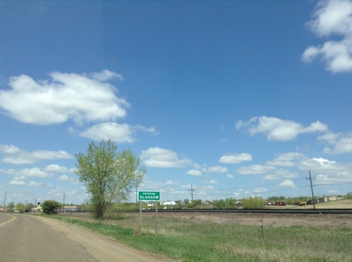
MT-42 West - Entering Glasgow
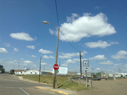
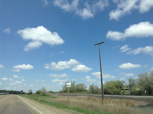
Entering Glasgow on MT-42 west. Glasgow is the county seat of Valley County.
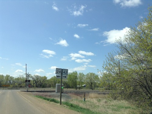
MT-24 South Approaching MT-42
MT-24 South approaching MT-42. Turn left to continue south on MT-24; right for MT-42.
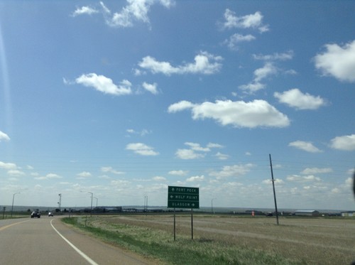
MT-24 South at US-2
MT-24 south at US-2. Use US-2 east for Wolf Point; US-2 west for Glasgow. Continue south on MT-24 for Fort Peck.
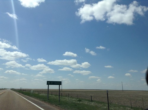
MT-24 South - St. Marie
St. Marie junction on MT-24 south. St. Marie is on the site of the former Glasgow Air Force Base.
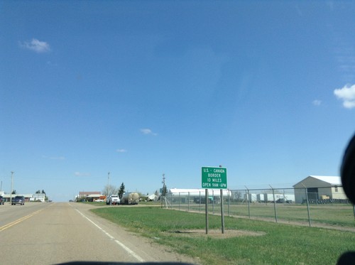
MT-24 North - Port of Entry Hours
MT-24 North - Canada Port of Entry 10 Miles. Port of Entry Open from 9:00 AM to 6:00 PM.
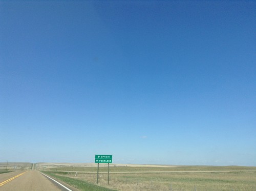
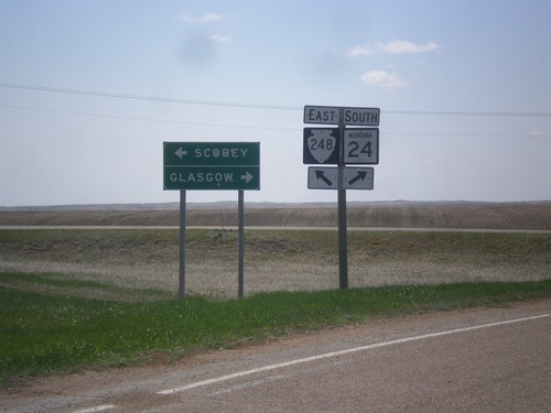
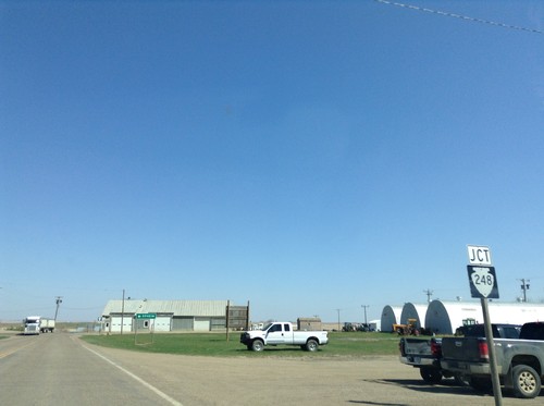
MTS-248 West - Peerless Jct.
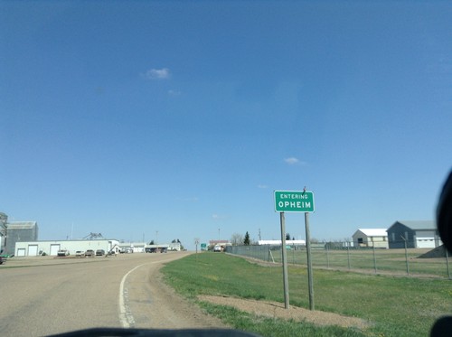
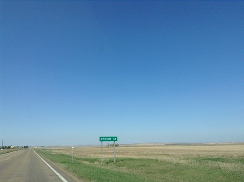
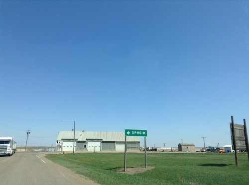
MTS-248 West at junction to Peerless. Continue west on MTS-248 for Opheim.
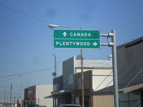
MT-13 North at MT-5
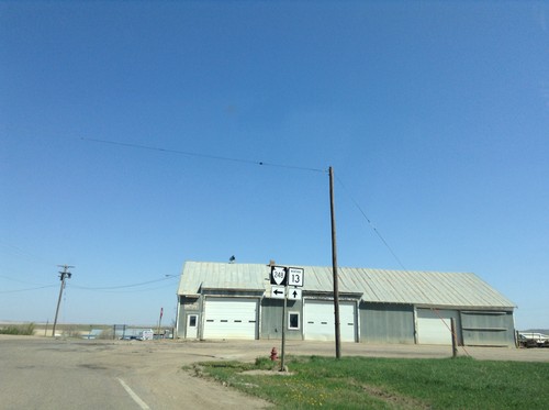
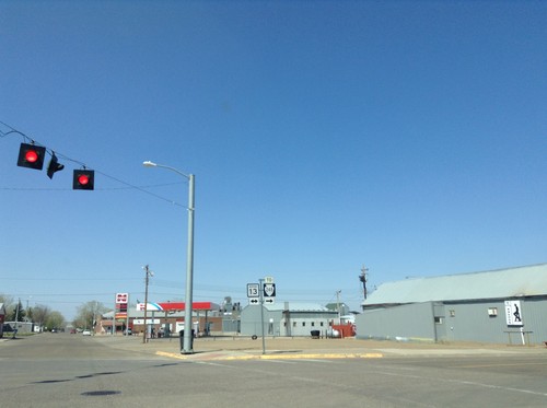
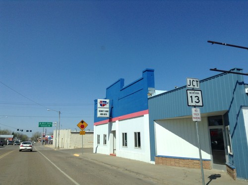
MT-13 north at MT-5. Use MT-5 east for Plentywood. Continue north on MT-13 for Canada.
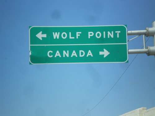
End MT-5 West at MT-13
End MT-5 west at MT-13. Use MT-13 north for Canada; MT-13 south for Wolf Point.
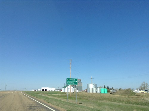
MT-5 West Approaching MTS-511 and MTS-251
MT-5 West approaching MTS-511 and MTS-251. Use MTS-511 north for Flaxville and Whitetail.
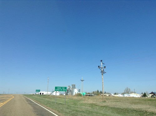
MT-5 West - Port of Big Beaver Status
MT-5 west approaching MTS-511 and MTS-251 in Flaxville. The Canadian Port of Big Beaver has been permanently closed, along with the US Port of Whitetail. This sign is warning northbound traffic of MTS-511 of the Port of Big Beaver status.
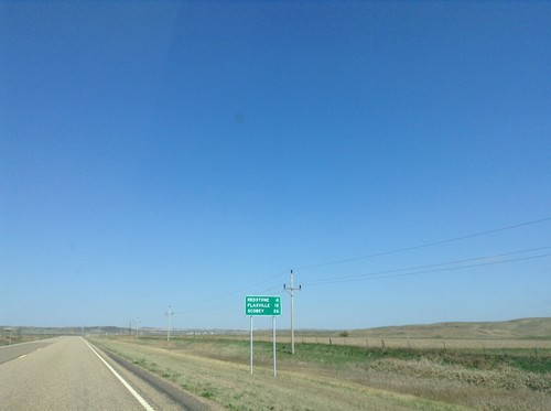
MT-5 West - Distance Marker
Distance marker on MT-5 west. Distance to Redstone, Flaxville, and Scobey.
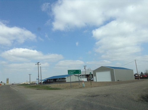
MT-5 West - Distance Marker
Distance marker for Flaxville and Scobey on MT-5 west, leaving Plentywood.
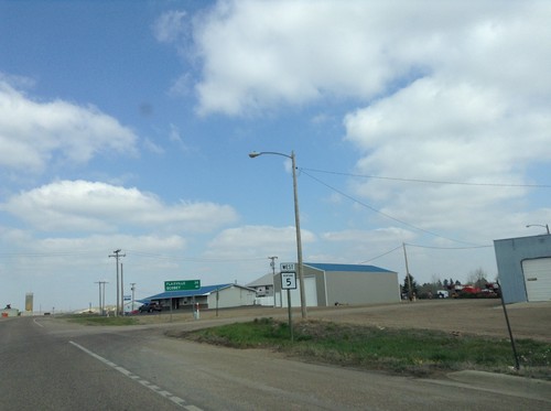
MT-5 West - Distance Marker
MT-5 west leaving Plentywood, Montana. In background is a distance marker for Flaxville and Scobey.
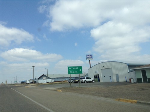
MT-16 North/MT-5 West at MT-16 North
MT-16 North/MT-5 West at MT-16 North to Raymond and Regina (SK, Canada). Raymond is the US Port of Entry on MT-16.
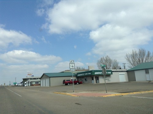
MT-16 North/MT-5 West Approaching Split
MT-16 North/MT-5 West Approaching MT-16/MT-5 split in Plentywood.
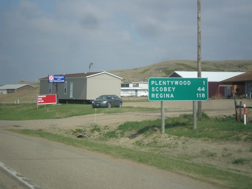
MT-5 West/MT-16 North - Distance Marker
Distance Marker on MT-5 West/MT-16 North. Distance to Plentywood, Scobey (via MT-5), and Regina (SK, Canada via MT-16).
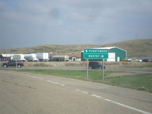
MT-16 North at MT-5
MT-16 north at MT-5. Use MT-5 east to Westby. MT-5 west joins MT-16 north through Plentywood.
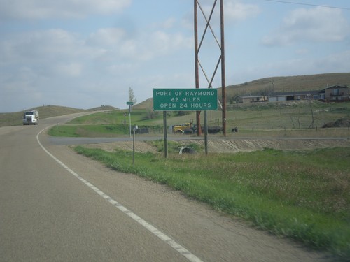
MT-16 North - Port of Raymond Distance
Distance to Port of Raymond (border with Canada) on MT-16 north. The Port of Raymond is a 24 hour Port of Entry.
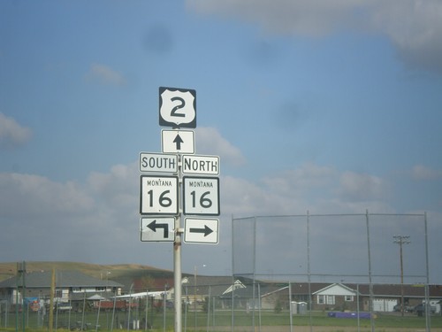
US-2 West at MT-16 North
US-2 West at MT-16 North. Turn right for MT-16 north; continue straight for US-2 West/MT-16 South.
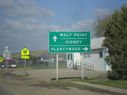
US-2 West Approaching MT-16
US-2 West Approaching MT-16 north to Plentywood. MT-16 south joins US-2 west through Culbertson. Use US-2 west for Wolf Point and Sidney (via MT-16 south).
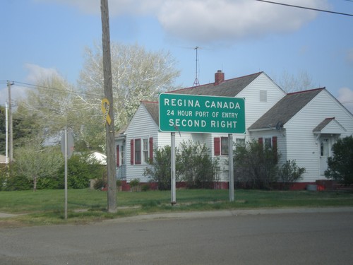
US-2 West - Port of Entry Information For MT-16
US-2 West - Regina Canada 24 Hour Port of Entry, via MT-16 north. The next 24 hour port of entry westbound into Canada is on I-15 at Sweetgrass.
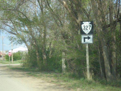
MTS-327 East - Bainville
MTS-327 east (5th Ave.) at Clinton St. Turn right on Clinton St. to continue on MTS-327.
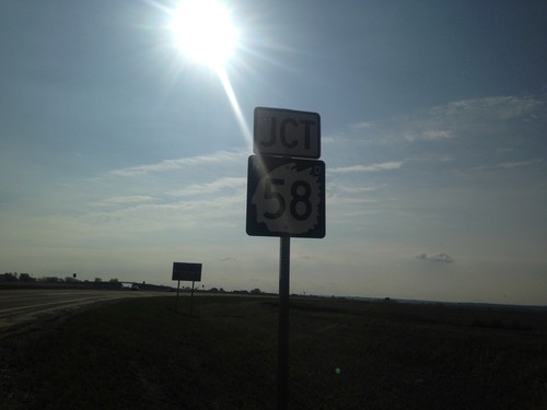
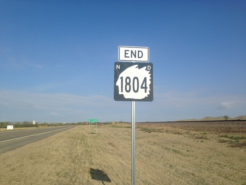
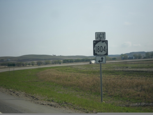
ND-1804 East at ND-58
ND-1804 East at ND-58 in Williams County. Turn right for ND-58 South; left for ND-1804 East.
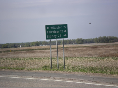
ND-1804 East Approaching ND-58
ND-1804 East approaching ND-58. Use ND-58 south for Fairview (MT) and Sidney (MT). Continue east on ND-1804 for Williston.
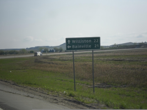
End ND-58 North at ND-1804
End ND-58 North at ND-1804. Use ND-1804 east for Williston; ND-1804 west for Bainville (MT).
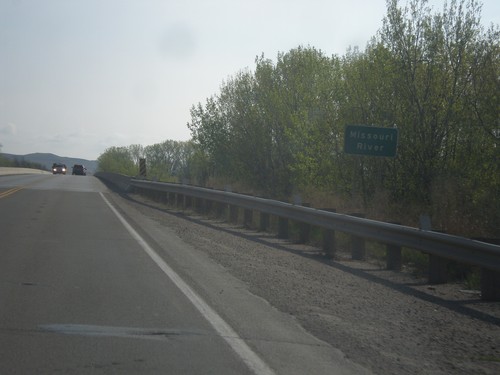
ND-58 North - Missouri River
Crossing the Missouri River on ND-58 North. This bridge is a few miles upstream from the confluence with the Yellowstone River.
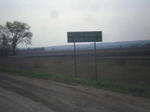
ND-200 East at ND-58 North
ND-200 East at ND-58 North to Williston. Continue east on ND-200 for Watford City.
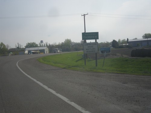
MT-200 East - Entering Fairview
Entering Fairview on MT-200 east. Fairview is on the Montana - North Dakota line.
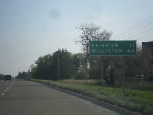
MT-200 East - Distance Marker
Distance marker on MT-200 east. Distance to Fairview and Williston (ND).
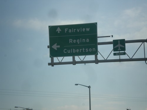
MT-200 East/MT-16 North Split - Sidney
MT-200 East/MT-16 North Split in Sidney. Turn left for MT-16 north to Regina (SK, Canada) and Culbertson. Continue straight for MT-200 East to Fairview.
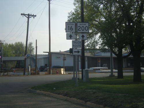
MT-200 East/MT-16 North - Sidney Truck Route
MT-200 East/MT-16 North at 14th St. Use 14th St. east for the truck route through Sidney.
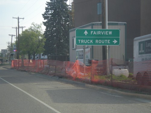
MT-200 East/MT-16 North at Sidney Truck Route
MT-200 East/MT-16 North at Sidney Truck Route. Continue on MT-200/MT-16 for Fairview.
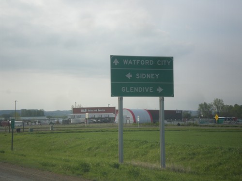
MT-200 East at MT-16 and MT-23
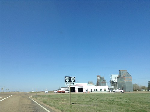
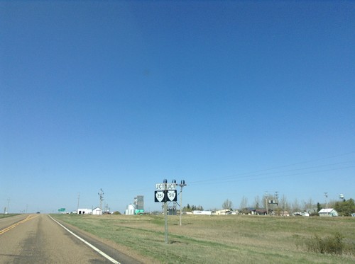
MT-200 East at MT-16 and MT-23. Turn right for MT-16 south to Glendive. Continue straight for MT-23 east to Watford City (ND); left for MT-16 North/MT-200 East to Sidney.
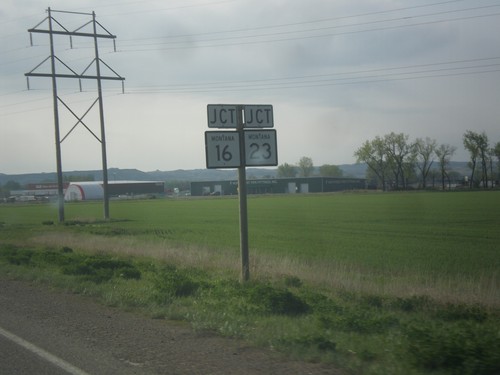
MT-200 East Approaching MT-16/MT-23 Junction
MT-200 East Approaching MT-16/MT-23 Junction in Richland County.
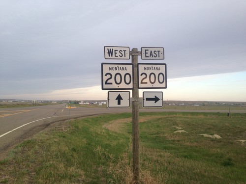
MT-200 West at MT-200S
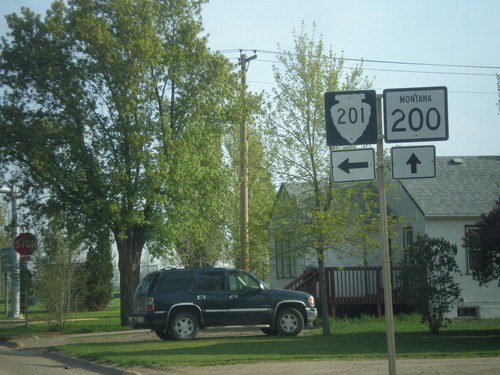
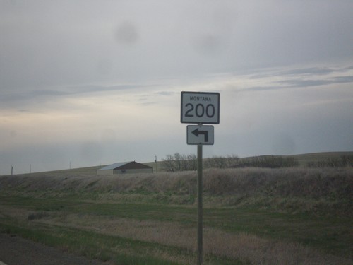
MT-200 West at MT-200S. Turn right to continue west on MT-200; left for MT-200S east.
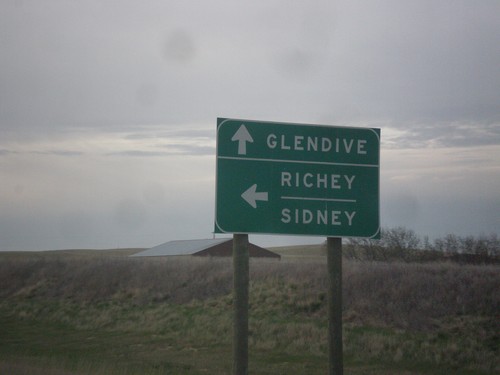
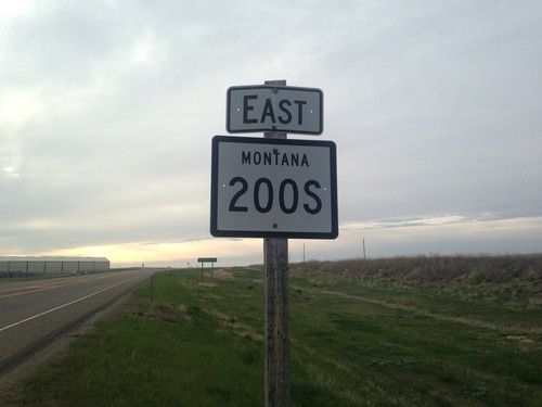
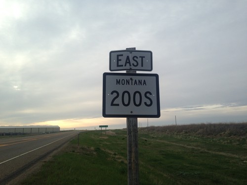
MT-200 East at MT-200S East
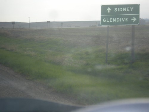
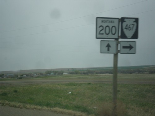
MT-200 East at MT-200S East. Turn left on MT-200 for Richey and Sidney. Continue straight for MT-200S to Glendive.
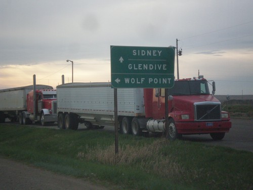
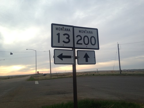
MT-200 East at MT-13 North
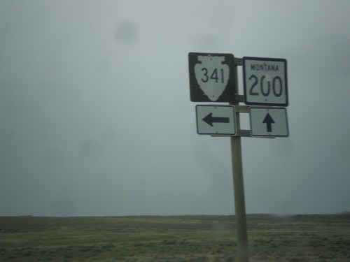
MT-200 East at MT-13 North. Use MT-13 for Wolf Point. Continue east on MT-200 for Sidney and Glendive (via MT-200S).
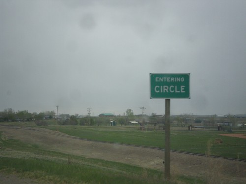
MT-200 East - Entering Circle
Entering Circle on MT-200 east. Circle is the county seat of McCone County.
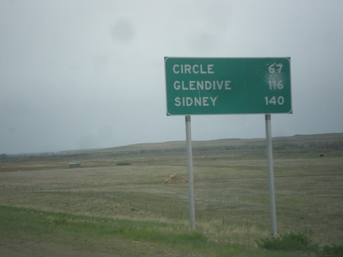
MT-200 East - Distance Marker
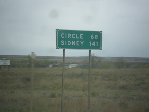
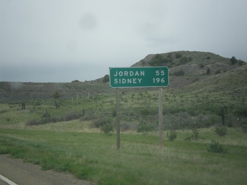
Distance marker on MT-200 east. Distance to Circle, Glendive (via MT-200S), and Sidney.
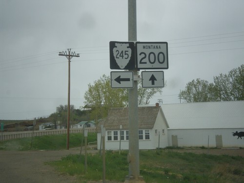
MT-200 East at MTS-245
MT-200 East at MTS-245 junction. Use MTS-245 north for Hell Creek State Park on Fort Peck Reservoir.
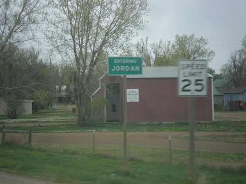
MT-200 East - Entering Jordan
Entering Jordan on MT-200 East. Jordan is the county seat of Garfield County, and one of the more isolated towns in the United States. It is 85 miles to Miles City, the nearest sizable city.
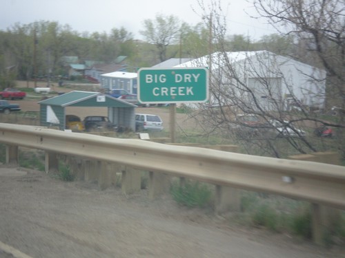
MT-200 East - Big Dry Creek
MT-200 east at Big Dry Creek in Jordan. When this picture was taken, it was a rainy day, and the creek was quite wet.
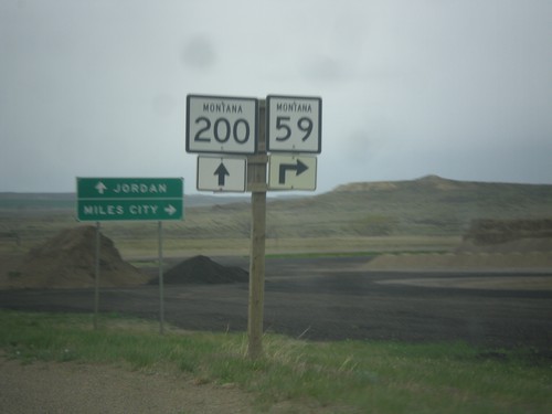
MT-200 East Approaching MT-59
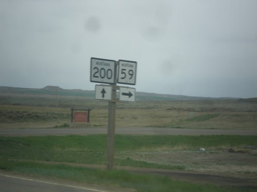
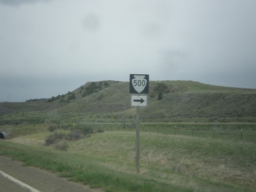
MT-200 East approaching MT-59 south to Miles City. Continue east on MT-200 for Jordan.
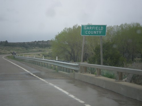
MT-200 East - Garfield County
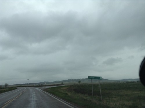
Entering Garfield County on MT-200 East. Garfield County, Montana has one of the smallest population densities in the Lower-48. It has the lowest population density in Montana.
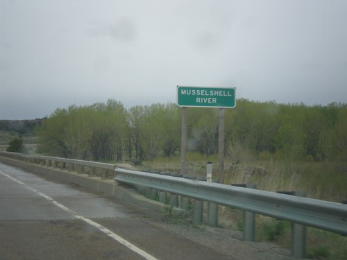
MT-200 East - Musselshell River
MT-200 east at the Musselshell River. The Musselshell River is a tributary of the Missouri River, running east-west through central Montana.
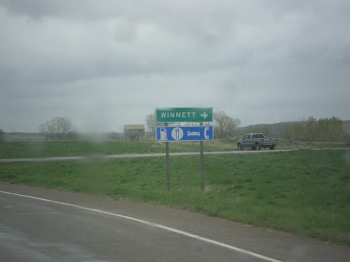
MT-200 East at MTS-244
MT-200 East at MTS-244 South to Winnett. Winnett is the county seat of Petroleum County, Montana. Petroleum County is the smallest county by population in Montana, with 494 residents as of the 2010 Census.
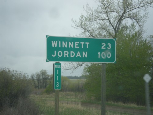
MT-200 East - Distance Marker
Distance marker on MT-200 east. Distance to Winnett and Jordan. Taken at Milepost 113.
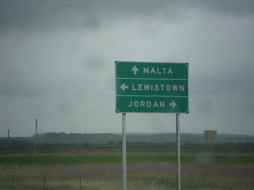
US-87 North at MT-19/MT-200
US-87 north at MT-19 and MT-200. Turn left to continue north on US-87 and MT-200 West to Lewistown; straight for MT-19 to Malta; right for MT-200 East to Jordan.
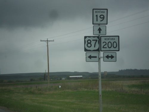
US-87 North at MT-19/MT-200
US-87 north at MT-19 and MT-200. Turn left to continue north on US-87 and MT-200 West; straight for MT-19; right for MT-200 East.
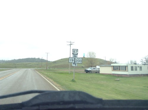
4th St. In Grass Range at US-87
4th St. In Grass Range at US-87 junction. Turn left for MT-19 and MT-200 junction.
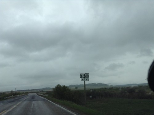
US-87 South/MT-200 East Approaching Grass Range
US-87 South/MT-200 East approaching Grass Range. Continue straight to continue on US-87/MT-200.
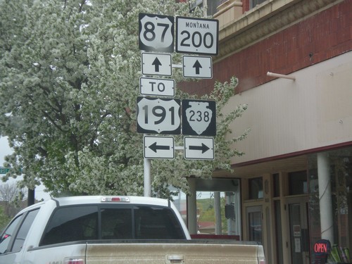
US-87 South/MT-200 East at MTS-238/To US-191
US-87 South/MT-200 East at MTS-238/To US-191. Turn left for US-191;left for MTS-238; straight for US-87 South/MT-200 East.
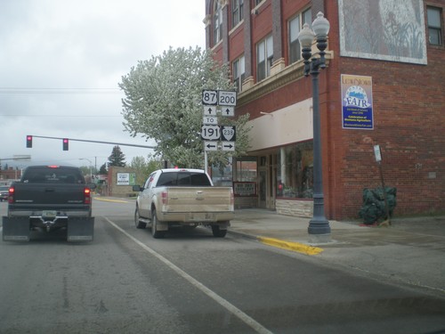
US-87 South/MT-200 East at MTS-238/To US-191
US-87 South/MT-200 East at MTS-238/To US-191. Turn left for US-191;left for MTS-238; straight for US-87 South/MT-200 East.
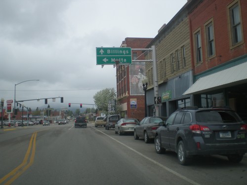
US-87 South/MT-200 East at MTS-238/To US-191
US-87 South/MT-200 East at MTS-238/To US-191. Turn left for US-191 and Malta. Continue straight for US-87 South/MT-200 East to Billings.
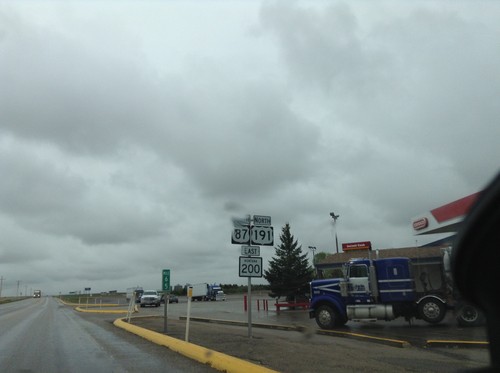
US-87 South/US-191 North/MT-200 East - Fergus County
US-87 South/US-191 North/MT-200 East in Fergus County.
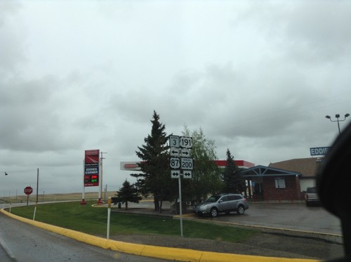
US-191 North/MT-3 West at US-87/MT-200
US-191 North/MT-3 West at US-87/MT-200. Turn left for US-87 North/MT-3/MT-200 West; turn right for US-87 South/US-191 North/MT-200 East.
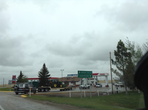
US-191 North/MT-3 West at US-87/MT-200
US-191 North/MT-3 West at US-87/MT-200. Turn left for US-87 North/MT-3/MT-200 West to Great Falls; right for US-191 North/US-87 South/MT-200 East to Lewistown.
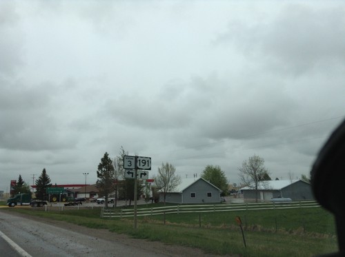
US-191 North/MT-3 West Approaching US-87/MT-200
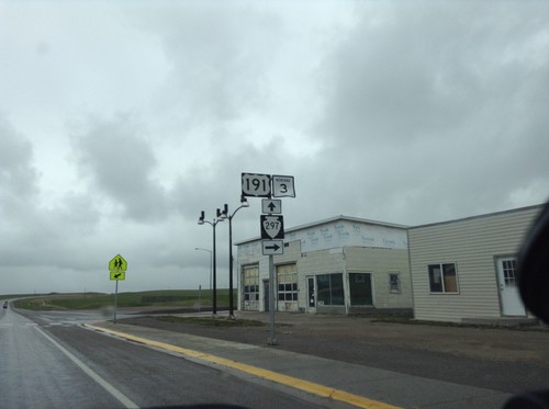
US-191 North/MT-3 West approaching US-87/MT-200. Turn left to continue west on MT-3; turn right to continue north on US-191. Both US-191 and MT-3 join US-87/MT-200.
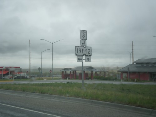
US-12 East/US-191 North at MT-3
US-12 East/US-191 North at MT-3. Turn left for US-191 North/MT-3 West; continue straight for US-191 South/MT-3 East.
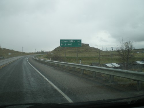
US-12 East/US-191 North - Distance Marker
Distance marker on US-12 East/US-191 North. Distance to Lewistown (via US-191) and Billings (via US-12 and MT-3).
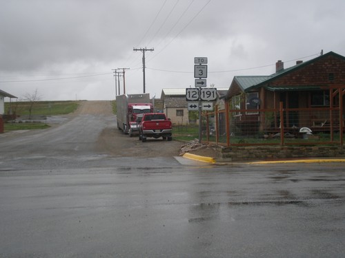
US-191 North at US-12 - Harlowton
US-191 North at US-12 in Harlowton. Turn right for US-191 North/US-12 East, To MT-3.
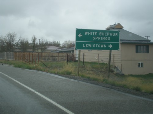
US-191 North Approaching US-12
US-191 north approaching US-12 in Harlowton. Turn left for US-12 west to White Sulphur Springs; right for US-191 North/US-12 East to Lewistown. US-191 North joins US-12 East through Harlowton.
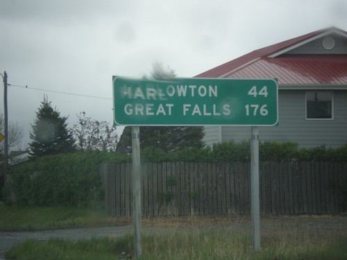
US-191 North - Distance Marker
Distance marker on US-191 north. Distance to Harlowton and Great Falls.
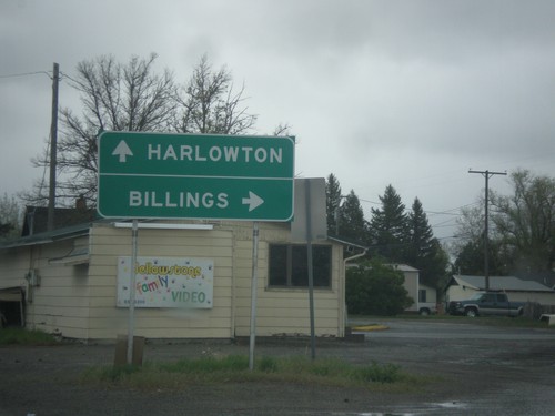
BL-90 East/US-191 North at BL-90/US-191 Split
BL-90 East/US-191 North at BL-90/US-191 split. Merge right on BL-90 for Billings; merge left on US-191 for Harlowton.
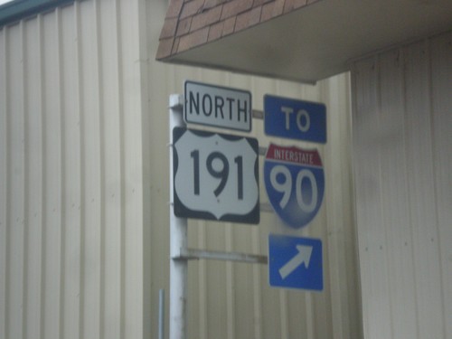
US-191 North/BL-90 East - Split
US-191 North/BL-90 East at US-191/BL-90 split in Big Timber. This sign assembly is confusing, because it appears to be missing an arrow that points either to the left or straight for US-191. BL-90 merges off to the right towards I-90.
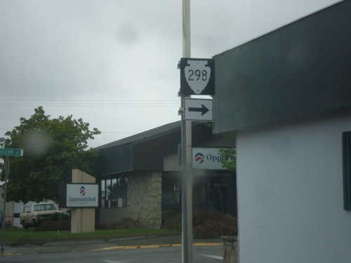
BL-90 East/US-191 North - MTS-298 Junction
BL-90 East/US-191 North at MTS-298 (McLeod St.) in Big Timber.
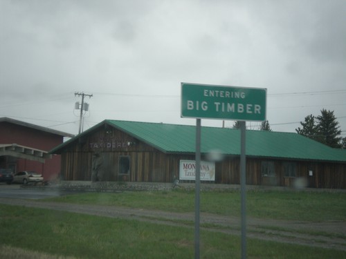
US-191 North/BL-90 East - Big Timber
Entering Big Timber on US-191 North/BL-90 East. Big Timber is the county seat of Sweet Grass County and is situated on the Yellowstone River.
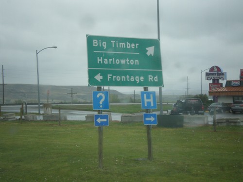
US-191 North/BL-90 East at Frontage Road
US-191 North/BL-90 East at Frontage Road. Turn right to continue on US-191 North/BL-90 east to Big Timber and Harlowton.
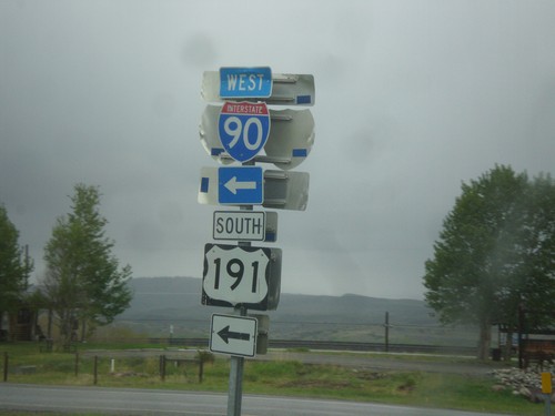
US-191 North/BL-90 East at I-90 West/US-191 South Onramp
US-191 North/BL-90 East at I-90 West/US-191 South Onramp in Big Timber. US-191 south joins I-90 west to Bozeman.
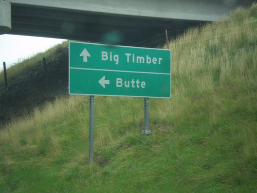
US-191 North/BL-90 East at I-90 West
US-191 North/BL-90 East at I-90 west. Turn left on I-90 West/US-191 South for Butte; continue straight for US-191 North/BL-90 East to Big Timber.
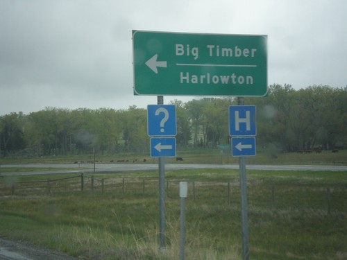
I-90 East - Exit 362 Offramp - Big Timber
I-90 east on Exit 362 offramp in Big Timber. Turn left for BL-90 and to continue north on US-191 for Harlowton and Big Timber.
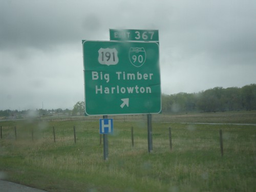
I-90 East - Exit 367
I-90 east at Exit 367 - US-191/BL-90/Big Timber/Harlowton. US-191 leaves I-90 eastbound here. Typically on a freeway junction assembly in Montana, the business loop shield is surrounded in a white box.
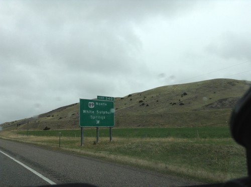
I-90 East - Exit 340
I-90 east at Exit 340 - US-89 North/White Sulphur Springs. US-89 leaves I-90/US-191 here.
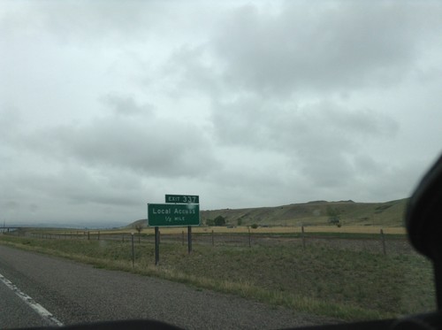
I-90 East - Exit 337
I-90 east approaching Exit 337 - Local Access. This is the eastern end of the Livingston business loop.
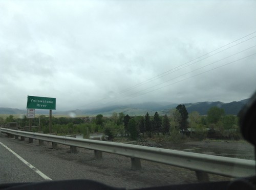
I-90 East - Yellowstone River
I-90 east crossing the Yellowstone River. This is the first crossing of the Yellowstone River on I-90. I-90 follows the Yellowstone River east to Bilings; thence I-94 follows it down to Glendive, Montana near the North Dakota line.
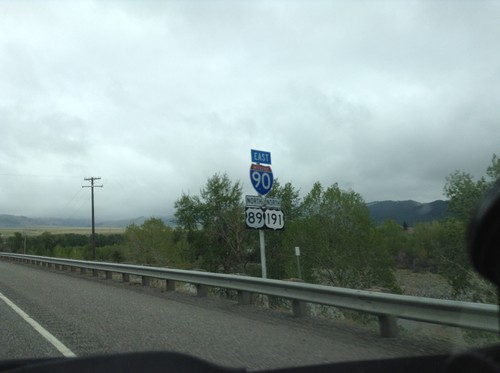
I-90 East/US-89 North/US-191 North Shields - Livingston
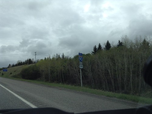
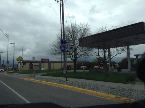
I-90 East/US-89 North/US-191 North Shields - Livingston.
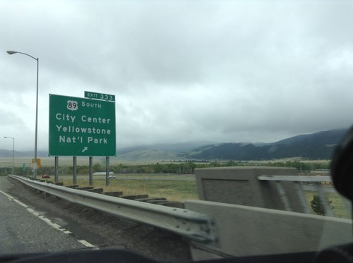
I-90 East - Exit 333
I-90 east at Exit 333 - US-89 South/City Center/Yellowstone National Park. US-89 heads south along the Yellowstone River to the Gardiner, Montana entrance to Yellowstone. US-89 joins I-90/US-191 east through Livingston.
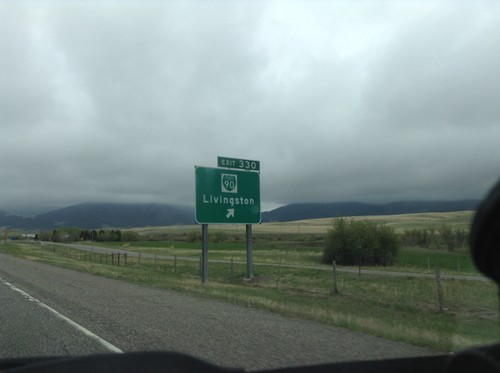
I-90 East - Exit 330
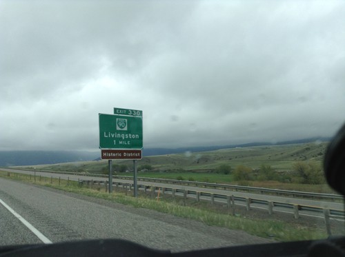
I-90 East at Exit 330 - BL-90/Livingston. This is the west end of the Livingston business loop.
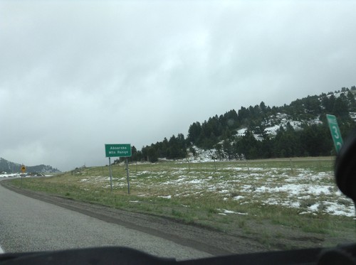
I-90 East - Bozeman Pass
I-90 east at Bozeman Pass. Bozeman Pass is part of the Absaroka Mountain Range. These type of signs are common across Montana, giving name to the many mountain ranges in the state.
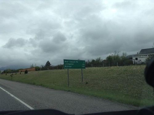
I-90 East - Distance Marker
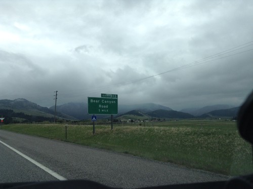
Distance marker on I-90 east. Distance to Bear Canyon Road, Livingston, and Billings.
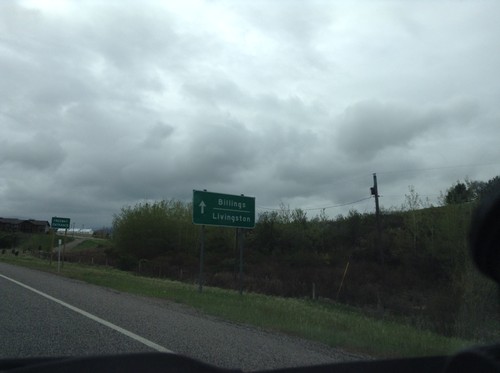
BL-90/US-191 at I-90 East
BL-90/US-191 at I-90 East onramp. US-191 joins I-90 east to Big Timber. Use I-90 east for Livingston and Billings.
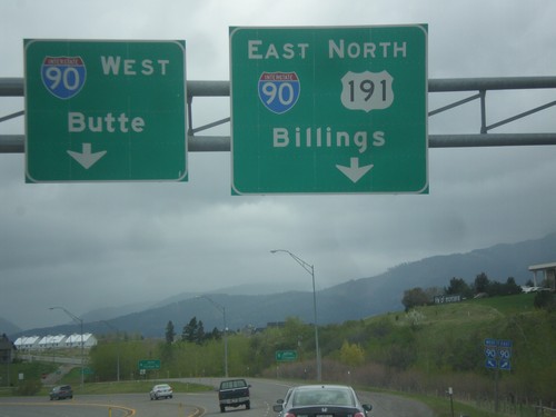
US-191 North/BL-90 East at I-90
US-191 North/BL-90 East at I-90. Merge right for I-90 East/US-191 North to Billings; merge left for I-90 West to Butte.
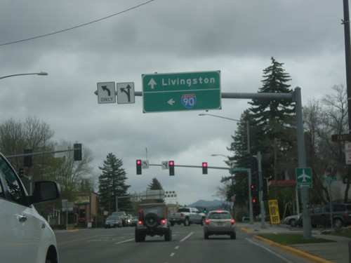
US-191 North at BL-90 - Bozeman
US-191 North (Main St.) at BL-90 (7th St.) in Bozeman. Turn left for BL-90 west to I-90 (West); continue straight for US-191 North/BL-90 East to Livingston (via I-90 east).
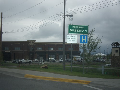
US-191 North - Bozeman
Entering Bozeman on US-191 north. Bozeman is the home of Montana State University and the fourth largest city in Montana.
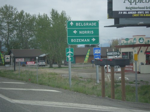
US-191 North at MT-84/MT-85
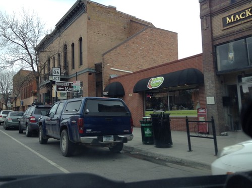
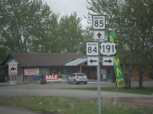
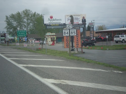
US-191 North at MT-84/MT-85. Turn right to continue north on US-191 for Bozeman; straight for MT-85 North to Belgrade; left for MT-84 West to Norris.
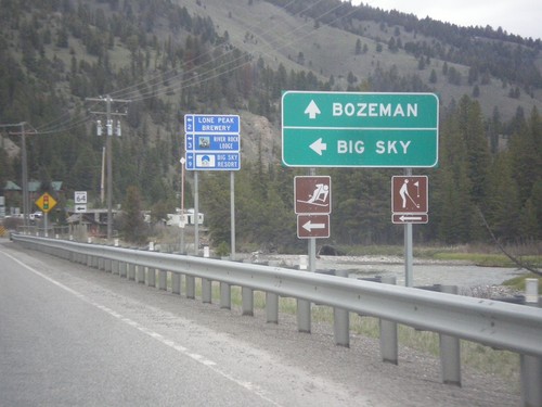
US-191 North Approaching MT-64
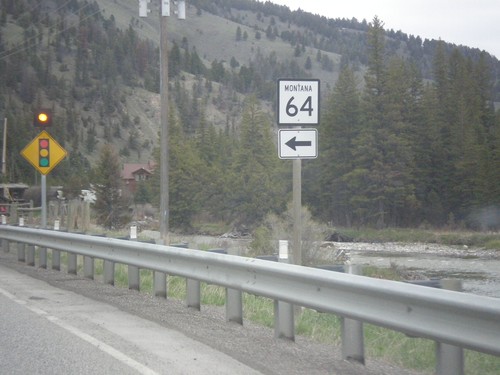
US-191 North approaching MT-64 to Big Sky. Continue straight on US-191 for Bozeman.
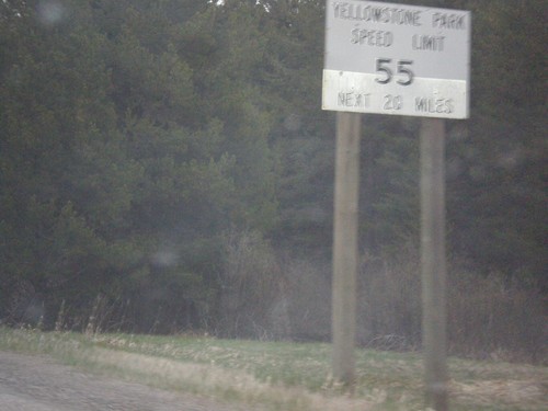
US-191 North - Yellowstone Speed Limits
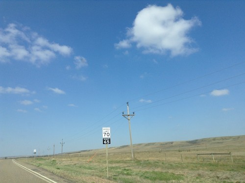
US-191 North - Speed Limit of 55 MPH in Yellowstone National Park. Most speed limits on Montana highways are 70 MPH.
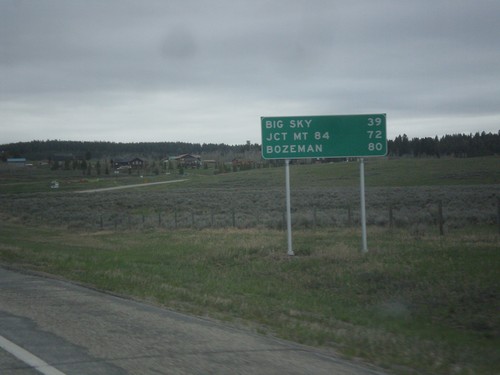
US-191 North - Distance Marker
Distance marker on US-191 north. Distance to Big Sky, Jct. MT-84, and Bozeman.
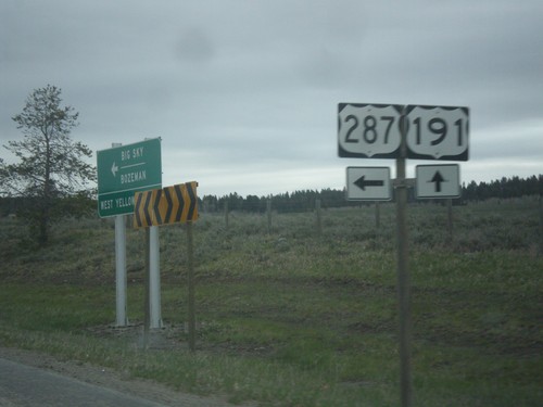
US-191/US-287 North at US-191/US-287 Split
US-191/US-287 North at US-191/US-287 split. Turn left for US-287; straight for US-191.
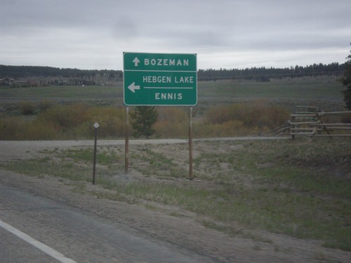
US-191/US-287 North at US-191/US-287 Split
US-191/US-287 North at US-191/US-287 split. Turn left for US-287 north to Hegben Lake and Ennis; straight for US-191 north to Bozeman.
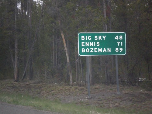
US-191/US-287 North - Distance Marker
Distance marker on US-191/US-287 North. Distance to Big Sky, Ennis (via US-287), and Bozeman.
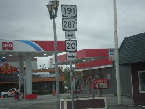
US-20 East at US-191/US-287
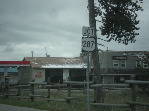
US-20 east at US-287/US-191 in West Yellowstone. Turn right to continue east on US-20.
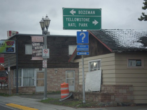
US-20 East at US-191/US-287
US-20 east at US-287/US-191. US-20 east joins US-287/US-191 into Yellowstone National Park. Turn left on US-287/US-191 north for Bozeman.
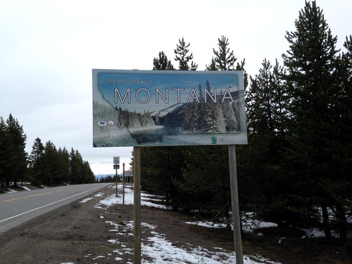
US-20 East - Welcome To Montana
Welcome to Montana on US-20 East at Targhee Pass. Targhee Pass is on the Continental Divide. This style of Montana welcome sign is fairly recent. Previous welcome signs were blue, and were cut-out in the state outline.
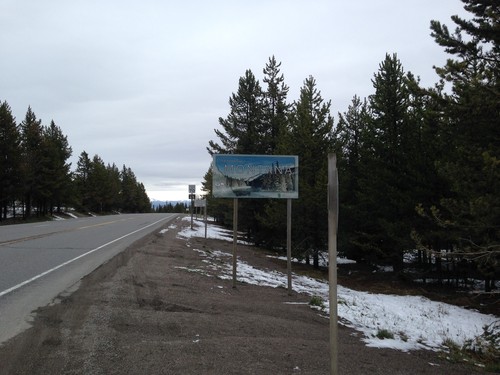
US-20 East - Welcome To Montana
Welcome to Montana on US-20 East at Targhee Pass. Targhee Pass is on the Continental Divide. West of here water flows into the Henrys Fork, the Snake River, and the Columbia River into the Pacific Ocean. East of here water flows into the Madison River, the Missouri River, the Mississippi River into the Gulf of Mexico.
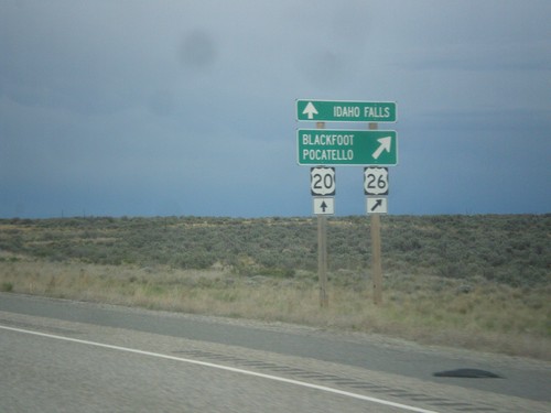
US-20/US-26 East Split
US-20/US-26 east at US-20/US-26 split. US-26 continues east to Pocatello and Blackfoot, US-20 east goes to Idaho Falls.
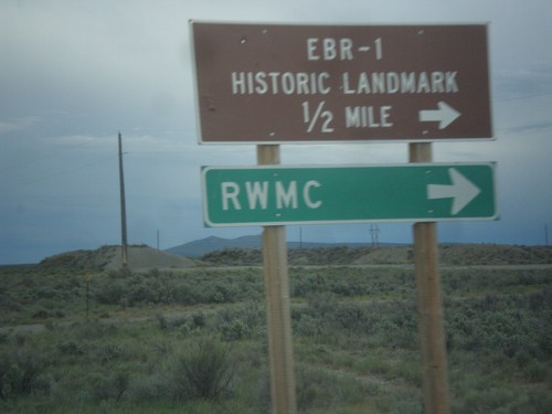
US-20/US-26 East - EBR-1 Junction
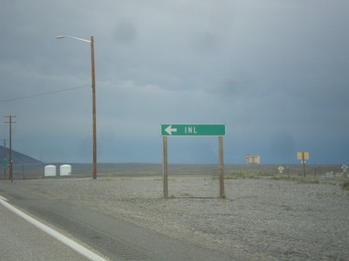
US-20/US-26 East at junction to EBR-1 (Experimental Breeder Reactor - 1), which was the worlds first electricity generating nuclear power plant. EBR-1 is part of the Idaho National Laboratory (INL), and as scheduled tours for the general public. Also turn right for the RWMC (Radioactive Waste Management Complex) at the INL.
