Signs From August 2015
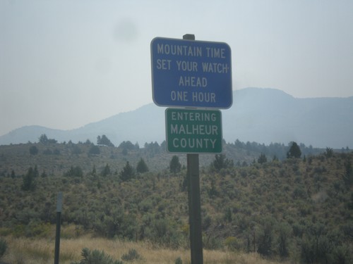
US-20 East - Malheur County/Mountain Time Zone
Entering Malheur County and Mountain Time Zone on US-20 East. The northern portion of Malheur County is the only area in Oregon that follows Mountain Time. From my travels in Oregon, this is the only blue time zone sign in the state. The rest are the standard green color.
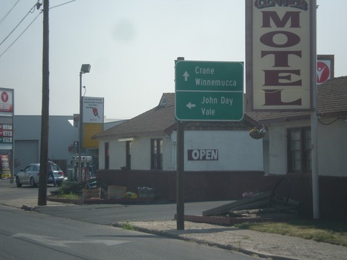
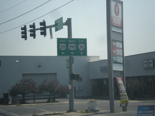
US-20 East/US-395 North Approaching OR-78
US-20 East/US-395 North approaching OR-78. Turn left for US-20 East/US-395 North to John Day (via US-395) and Value (via US-20). Continue straight for OR-78 East to Crane and Winnemucca (Nevada).
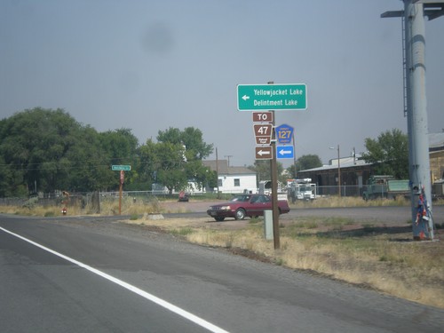
US-20 East/US-395 North - Hines Logging Road
US-20 East/US-395 North -at CR-127 Jct (Hines Logging Road). Use CR-127 for FR-47, Yellowjacket Lake, and Delintment Lake in the Malheur National Forest.
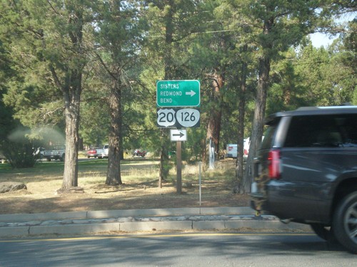
End OR-242 East at US-20/OR-126
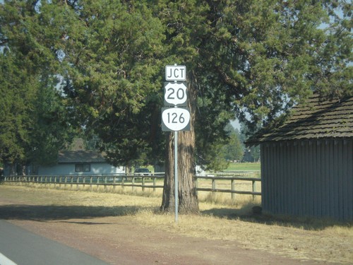
End OR-242 East at US-20/OR-126. Use US-20/OR-126 East for Sisters, Bend, and Redmond.
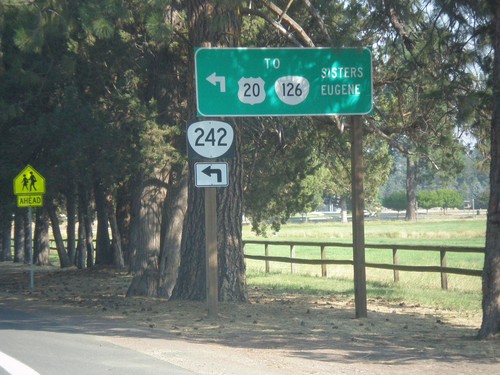
OR-242 East at Hood St. (To US-20/OR-126)
OR-242 East at Hood St. (To US-20/OR-126). Turn left to connect with US-20/OR-126 for Eugene and Sisters. Traffic can also continue east on current street for US-20/OR-126 East.
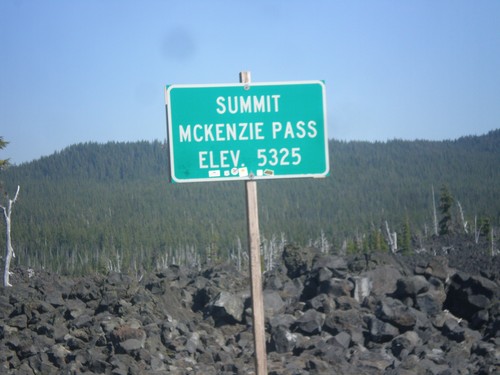
OR-242 East - McKenzie Pass
OR-242 East - McKenzie Pass - Elevation 5325 Feet. McKenzie Pass is closed during the winter months, and is also closed year round to long vehicles. The top of the pass is a lava field, with great views of the area volcanos.
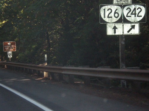
OR-126 East at OR-242
OR-126 East at OR-242. OR-126 east turns north towards Santiam Pass and OR-242 crosses the Cascades at McKenzie Pass. McKenzie Highway follows OR-242 over the pass and rejoins OR-126 in Sisters.
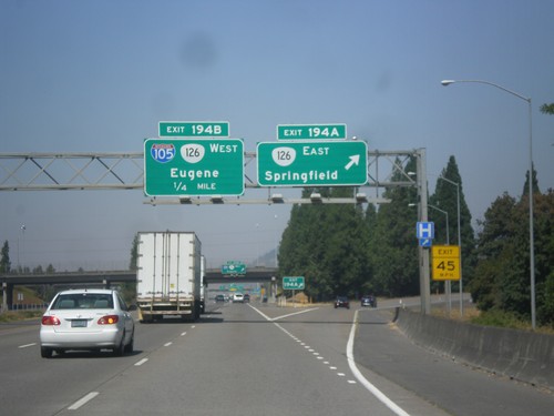
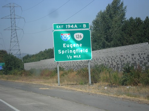
I-5 North - Exits 194 A-B
I-5 north at Exit 194A - OR-126 East/Springfield. Approaching Exit 194B - I-105/OR-126 West/Eugene.
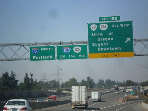
I-5 North - Exits 192 and 194AB
I-5 north at Exit 192 - OR-99/Bus. OR-126 West/University of Oregon/Eugene Downtown. Approaching (Exit 194AB) I-105/OR-126. Continue north on I-5 for Portland.
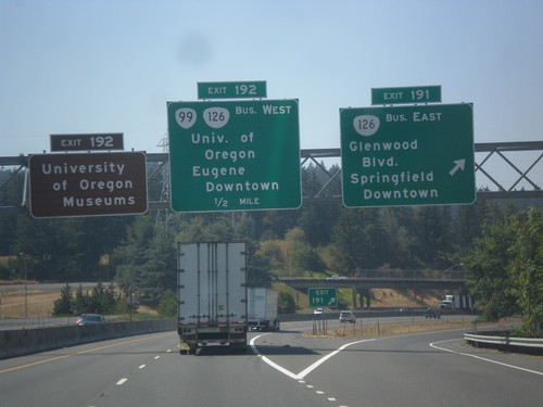
I-5 North - Exits 191 and 192
I-5 north at Exit 191 - Bus. OR-126 East/Glenwood Blvd./Springfield Downtown. Approaching Exit 192 - OR-99/Bus. OR-126 West/University of Oregon/Eugene Downtown. Use Exit 192 for University of Oregon Museums.
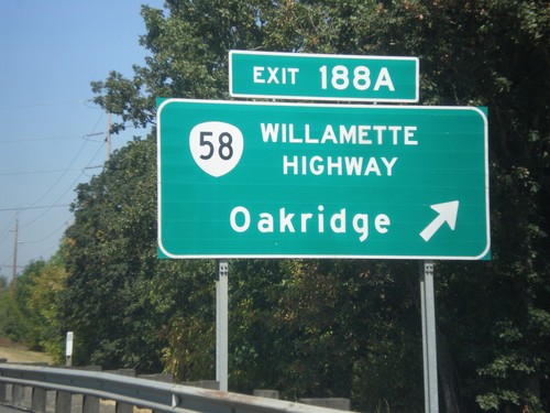
I-5 North - Exit 188A
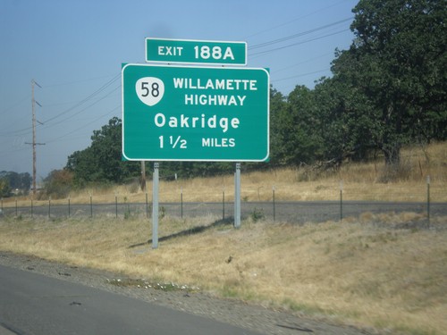
I-5 north at Exit 188A - OR-58/Willamette Highway/Oakridge. OR-58 follows the Willamette River east to Willamette Pass where it crosses the Cascades.
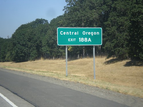
I-5 North - Exit 188A - Central Oregon
I-5 North approachign Exit 188A. Use Exit 188A for Central Oregon (via OR-58 and Willamette Pass).
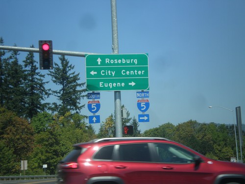
Gateway Blvd. north at I-5/Row River Road.
Gateway Blvd. north at I-5 and Row River Road. Continue straight for I-5 south to Roseburg; turn right on Row River Road for I-5 north to Eugene; left for (Cottage Grove) City Center.
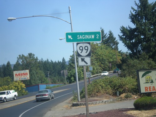
OR-99 North at Row River Road
OR-99 North at Row River Road in Cottage Grove. Merge left to continue north to OR-99 to Saginaw.
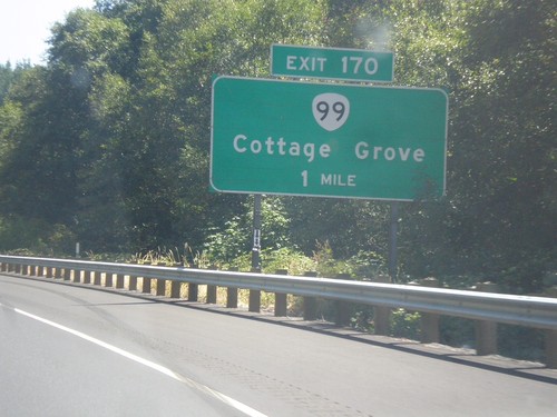
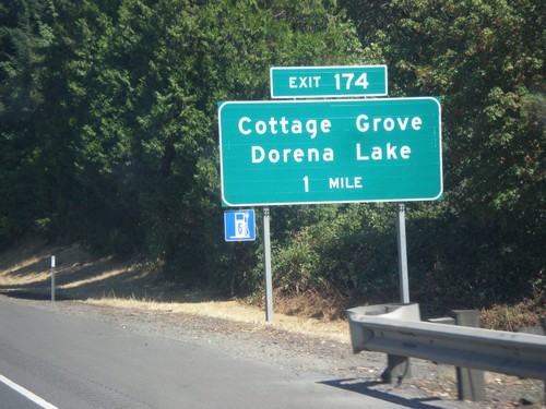
I-5 North - Exit 170
I-5 north approaching Exit 170 - OR-99/Cottage Grove. At the sign at the interchange, this is labeled Business OR-99. Signs through the town of Cottage Grove, do not include the word Business.
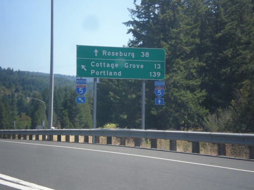
OR-38 East/OR-99 North at I-5
OR-38 East/OR-99 North at I-5. Use I-5 South to Roseburg; I-5 north to Cottage Grove and Portland. This is the eastern end of OR-38. This segment of OR-99 ends here, and re-appears in Cottage Grove.
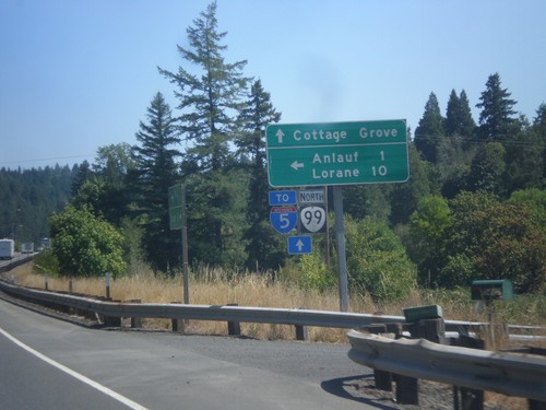
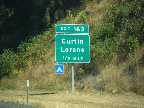
OR-38 East/OR-99 North at Curtin Road Jct.
OR-38 East/OR-99 North at Curtin Road Jct north to Anlauf and Lorane. Continue east on OR-38/OR-99 for Cottage Grove and I-5. The OR-38 shield is not displayed on this sign post, only OR-99.
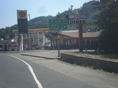
OR-38 East at OR-99
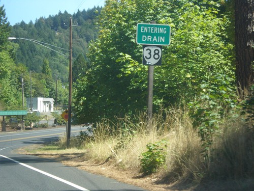
OR-38 east at OR-99 (not signed) in Drain. Turn right for OR-99 south to Yoncalla and Roseburg. Continue straight on OR-38 East/OR-99 North to Eugene. This stretch of OR-99 south of Drain was formerly the Drain-Yoncalla Highway #236.
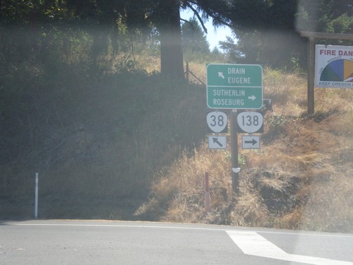
OR-38 East at OR-138
OR-38 east at OR-138. Turn right for OR-138 east to Roseburg and Sutherlin. Turn left for OR-38 east to Drain and Eugene.
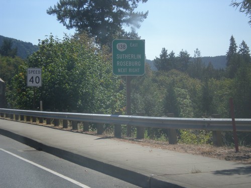
OR-38 East Approaching OR-138
OR-38 East Approaching OR-138 in Elkton. Use OR-138 east for Sutherlin and Roseburg.
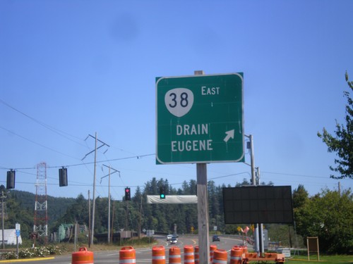
US-101 North at OR-38 East
US-101 north at OR-38 to Drain, and Eugene. OR-38 follows the Umpqua River east from Reedsport.
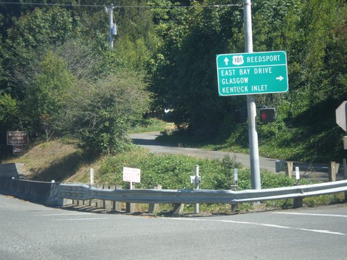
US-101 North at East Bay Drive
US-101 north at East Bay Drive to Glasgow and Kentuck Inlet. Continue north on US-101 for Reedsport.
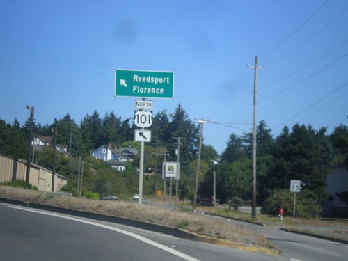
US-101 North - North Bend
US-101 North (Sheridan Ave.) merging back onto Sherman Ave as a two way street. Merge left to continue on US-101 for Reedsport and Florence.
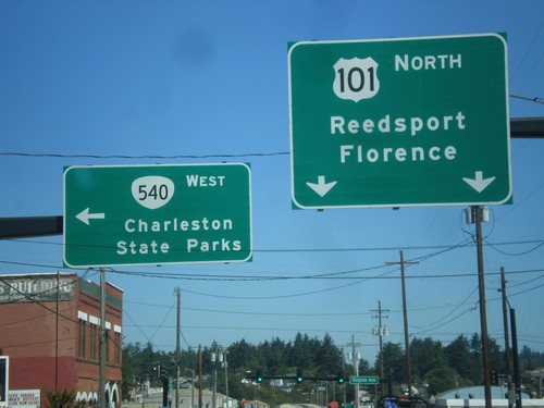
US-101 North (Sheridan Ave.) at OR-540 (Virginia Ave.)
US-101 North (Sheridan Ave.) at OR-540 (Virginia Ave.) west to Charleston and State Parks. Continue north on US-101 for Reedsport and Florence.
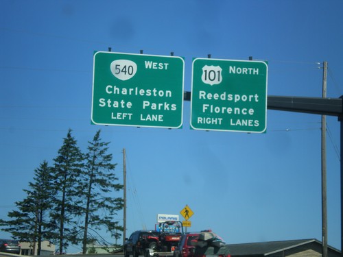
US-101 North Approaching OR-540
US-101 North approaching OR-540 west to Charleston and State Parks. Continue north on US-101 to Florence and Reedsport.
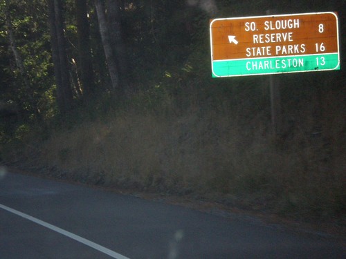
US-101 North - Beaver Hill Road
US-101 north at Beaver Hill Road to South Slough Reserve State Parks and Charleston.
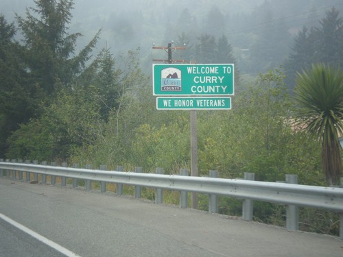
US-101 North - Curry County
Entering Curry County on US-101 north. Many Oregon counties, especially in western Oregon have graphics on the county line signs.
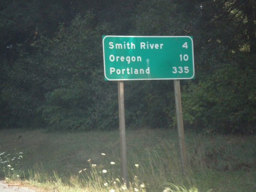
US-101 North - Distance Marker
Distance marker on US-101 north. Distance to Smith River, Oregon (state line), and Portland. Portland is not located along US-101.
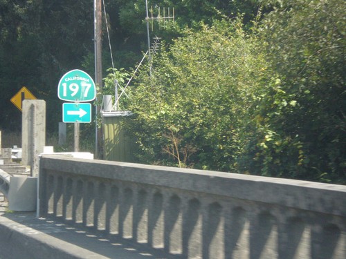
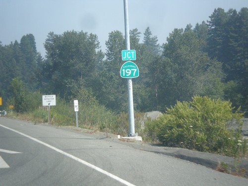
US-101 North at CA-197
US-101 north at CA-197. CA-197 follows the Smith River east to US-199. It is a quicker route to reach US-199 when coming from Oregon.
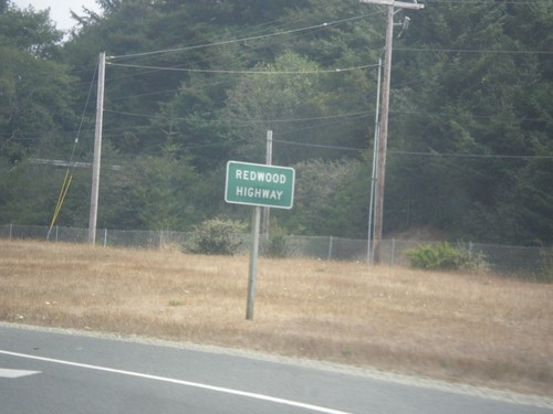
US-101 North - Redwood Highway
US-101 North is signed as Redwood Highway from the north side of the Golden Gate Bridge, to the junction with US-199. The Redwood Highway then follows US-199 into Oregon ending at Grants Pass.
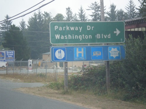
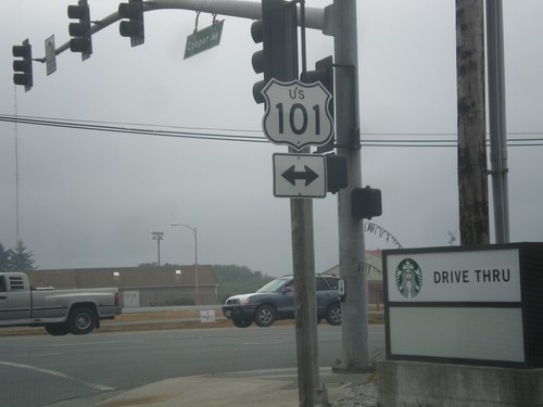
US-101 North - Parkway Dr./Washington Blvd. Jct.
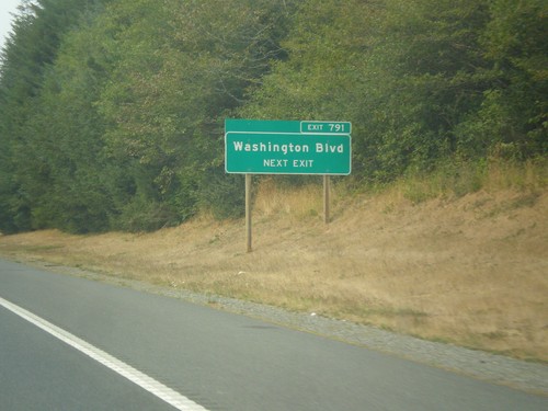
US-101 North at Parkway Dr./Washington Blvd. Jct. in Crescent City. Southbound traffic, has an actual ramp and exit number for Washington Blvd. Freeway begins north of this intersection.
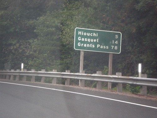
US-199 North - Distance Marker
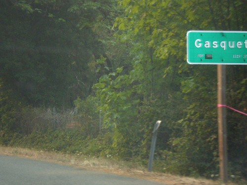
Distance marker on US-199 north. Distance to Hiouchi, Gasquet, and Grants Pass (Oregon).
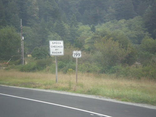
US-199 North - Del Norte County
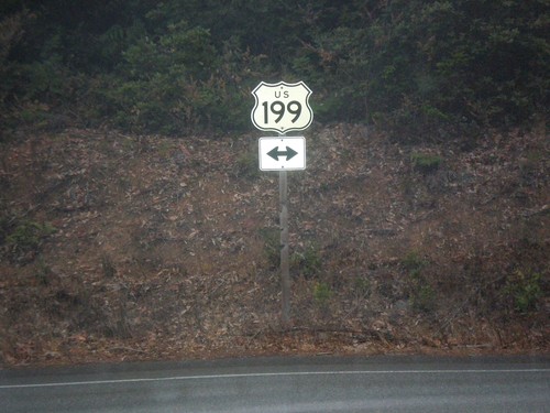
US-199 North shield in Del Norte County. This is the first US-199 shield northbound.
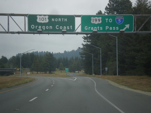
US-101 North at US-199/Grants Pass
US-101 north to Oregon Coast at US-199 to I-5 and Grants Pass. The is the end of the freeway for US-101 northbound.
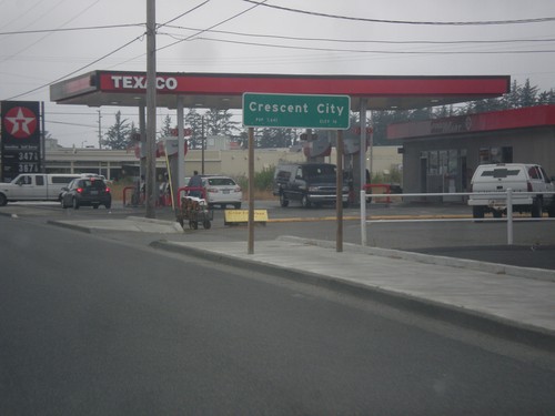
US-101 South - Crescent City
US-101 South - Entering Crescent City. Crescent City is the county seat of Del Norte County.
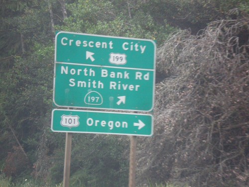
US-199 South At CA-197
US-199 west at CA-197/North Bank Road/Smith River. Use CA-197 for US-101 north access to Oregon, as a shortcut. US-199 continues west towards Crescent City.
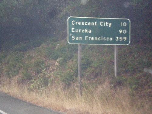
US-199 South - Distance Marker
Distance marker on US-199 south. Distance to Crescent City, Eureka, and San Francisco.
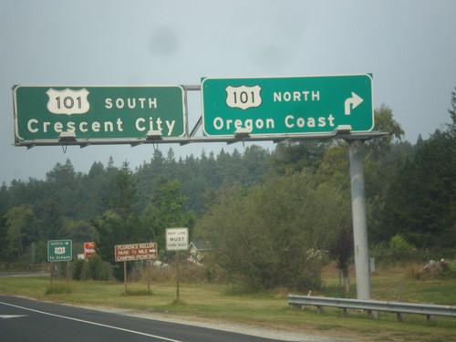
US-199 West Approaching US-101
US-199 west approaching US-101. Use US-101 north for the Oregon Coast. Use US-101 south for Crescent City. There is no direct connection to US-101 north from US-199 west. Traffic follows the Elk Valley Cross Road to reach US-101. This is the western terminus of US-199.
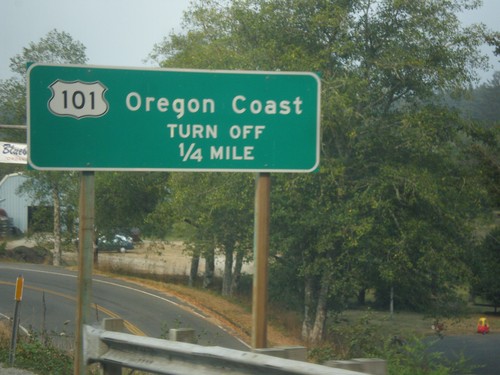
US-199 South Approaching Elk Valley Cross Road
US-199 South approaching Elk Valley Cross Road junction. Use Elk Valley Cross Road for US-101 north to the Oregon Coast. There is not a direct ramp from US-199 south to US-101 north.
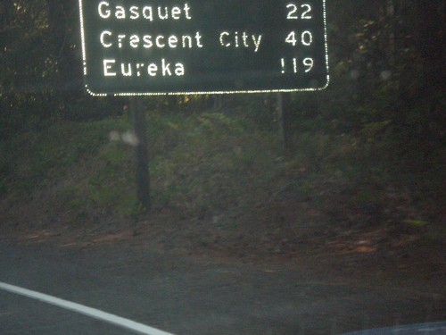
US-199 South - Distance Marker
First distance marker in California along US-199 south. Distance to Gasquet, Crescent City, and Eureka.
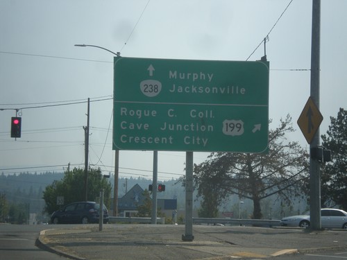
OR-238 South at US-199
OR-238 south at US-199. Turn right for US-199 south to Rogue Community College, Cave Junction, and Crescent City (CA). Continue south on OR-238 for Murphy and Jacksonville.
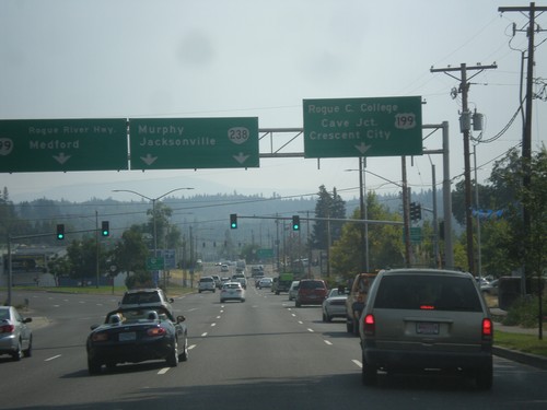
OR-99 South at US-199/OR-238
OR-99 south at US-199/OR-238 junction. Use left lane for OR-99 South/Rogue River Highway/Medford. Use middle lanes for OR-238/Murphy/Jacksonville. Use right lane for US-199 South/Rogue Community College/Cave Junction/Crescent City (CA).
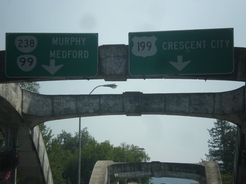
OR-99 South at US-199/OR-238
OR-99 south approaching US-199 and OR-238. Use left lane to continue south on OR-99 and for OR-238 to Murphy (and US-199 North to Medford). Use right lane for US-199 south to Crescent City (California).
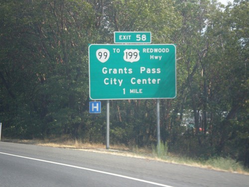
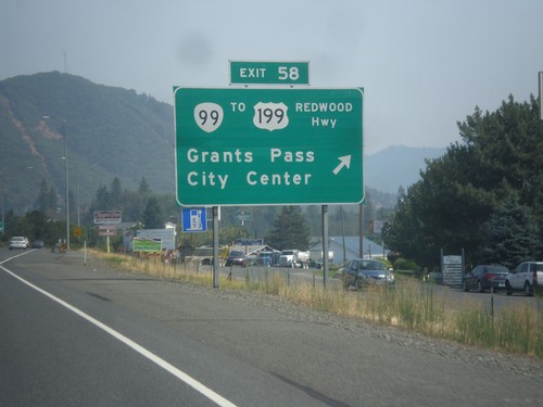
I-5 South - Exit 58
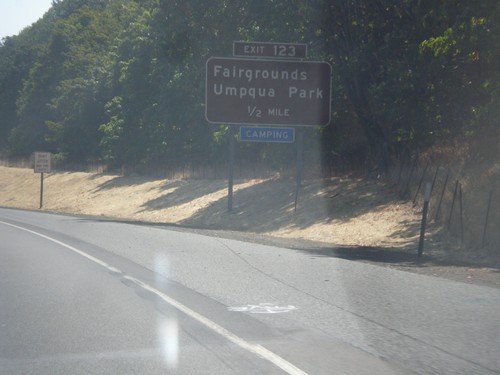
I-5 south approaching Exit 58 - OR-99/To US-199/Redwood Highway/Grants Pass/City Center. The name of the highway is common on many interstate exit signs, especially in western Oregon.
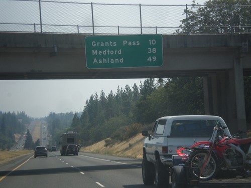
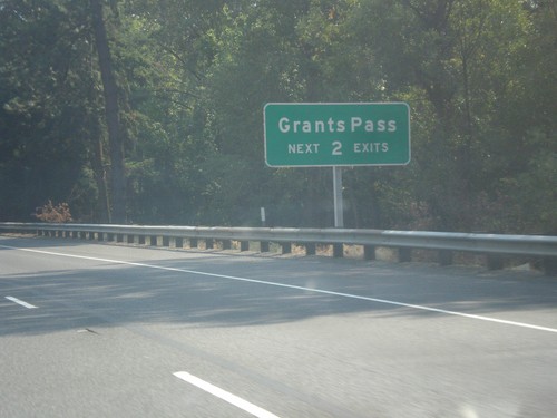
I-5 South - Distance Marker
Distance marker on I-5 south. Distance to Grants Pass, Medford, and Ashland.
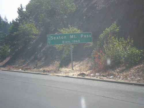
I-5 South - Sexton Mountain Summit
I-5 south at Sexton Mountain Summit - Elevation 1960 Feet. This summit is one a series of passes I-5 crosses between Canyonville and Grants Pass in the Klamath Mountains. The milepost is also attached to the main sign.
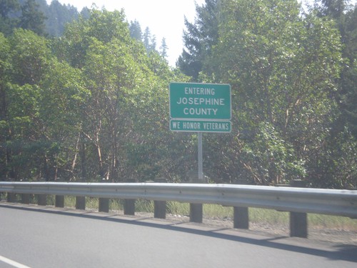
I-5 South - Entering Josephine County
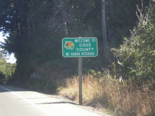
Entering Josephine County on I-5 south. Many of the county line signs in southern Oregon (and Del Norte County California) contain the phrase We Honor Veterans.
I-5 South - Canyon Creek Summit
I-5 south at Canyon Creek Summit - Elevation 2020 Feet. Canyon Creek Summit is the highest of the series of passes in the Klamath Mountains between Canyonville and Grants Pass along I-5.
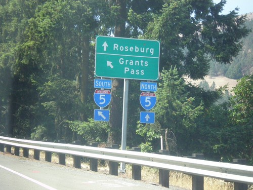
OR-99 North at I-5 (Exit 109) Onramp
OR-99 North at I-5 (Exit 109) onramp. Use I-5 north for Roseburg; I-5 south for Grants Pass.
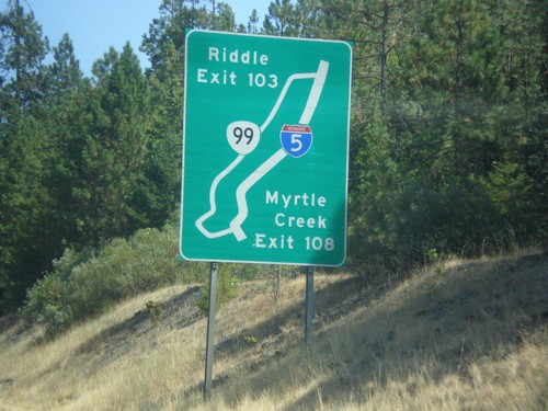
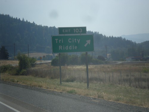
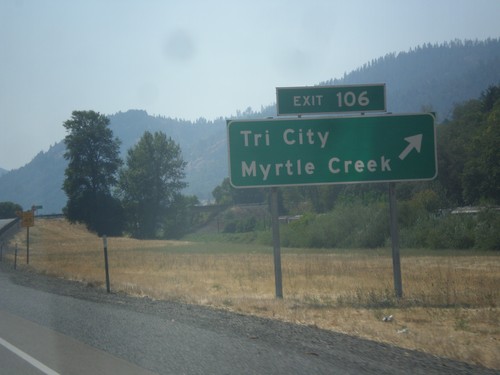
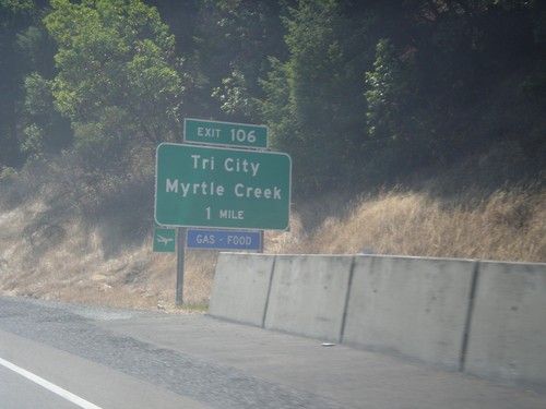
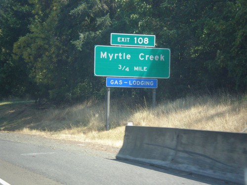
I-5 South - Exit 109 and 103 Route Diagram
Route Diagram showing OR-99 access to I-5 for Myrtle Creek and Riddle.
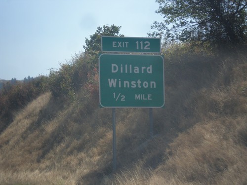
I-5 South - Exit 112
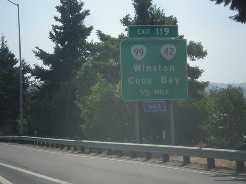
I-5 south approaching Exit 112 - Dillard/Winston. OR-99 connects back with I-5 here.
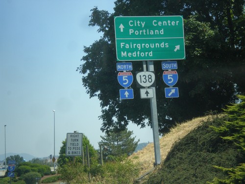
Harvard Ave. East at I-5 and OR-138
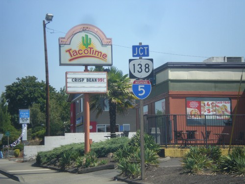
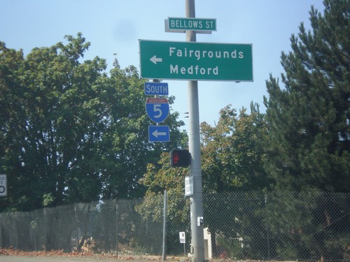
Harvard Ave. East at I-5 and OR-138. Turn right for I-5 south for Fairgrounds and Medford. Straight for I-5 North/OR-138 West to Portland; and straight for OR-138 East to City Center.
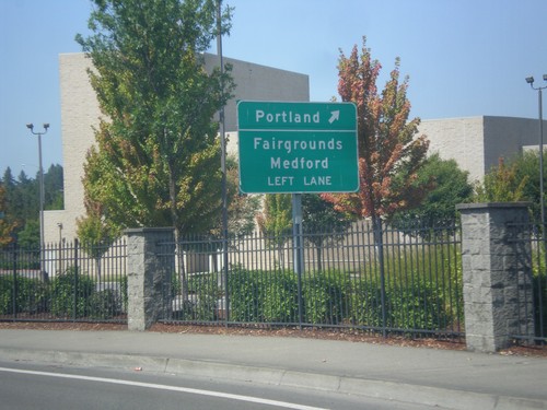
OR-138 West Approaching I-5
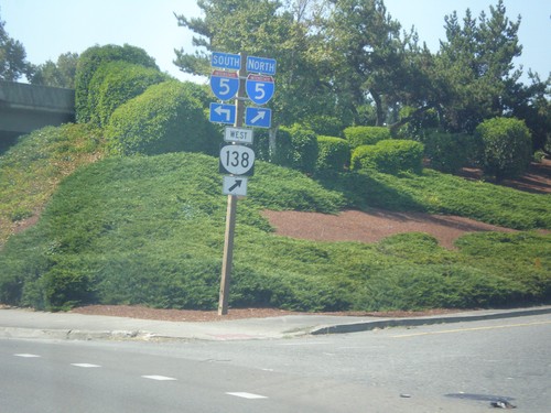
OR-138 West approaching I-5. Turn right for I-5 north to Portland; use left lane for I-5 south to Medford and Fairgrounds.
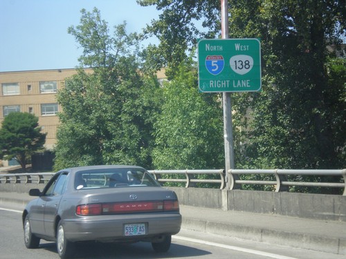
OR-138 West Approaching I-5
OR-138 West approaching I-5 in Roseburg. Use right lane for I-5 North and OR-138 West. OR-138 west joins I-5 north to Sutherlin.
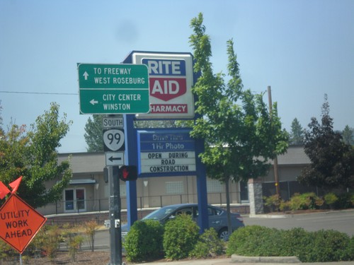
OR-138 West at OR-99 South
OR-138 West (Washington St.) at OR-99 South in Roseburg. Continue straight for OR-138 west to Freeway (I-5) and West Roseburg. Turn left for OR-99 south to City Center and Winston.
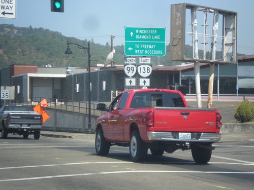
OR-99 North at OR-138
OR-99 North at OR-138 West (Washington Ave.). Continue straight for OR-99 North/OR-138 East to Diamond Lake and Winchester. Turn left for OR-138 west to Freeway (I-5) and West Roseburg.
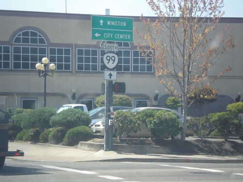
OR-99 South at Oak Ave.
OR-99 South at Oak Ave. Turn left on Oak Ave. for City Center. Continue south on OR-99 for Winston.
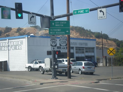
OR-99 South/OR-138 West at OR-99/OR-138 Split
OR-99 South/OR-138 West at OR-99/OR-138 Split. Turn right for OR-138 West (Pine St.) to Freeway (I-5) and West Roseburg. Continue south on OR-99 (Stephen St.) for City Center and Winston.
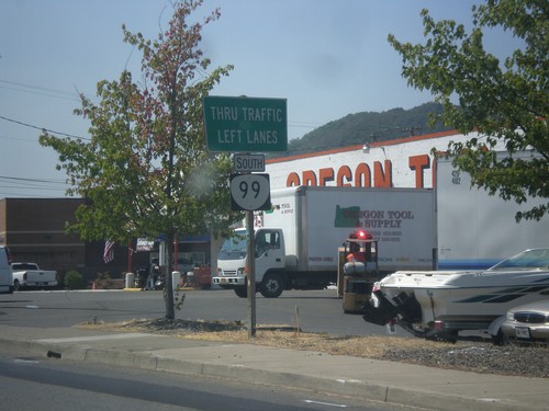
OR-99 South/OR-138 West Approaching OR-99/OR-138 Split
OR-99 South/OR-138 West approaching OR-99/OR-138 split. Use left lanes to continue south on OR-99 (Stephens St.)
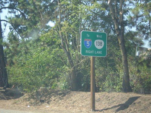
OR-138 West/OR-99 South - Use Right Lanes for I-5/OR-138
OR-138 West/OR-99 South (Stephens St.) in Roseburg. Use right lanes for I-5/OR-138 West.
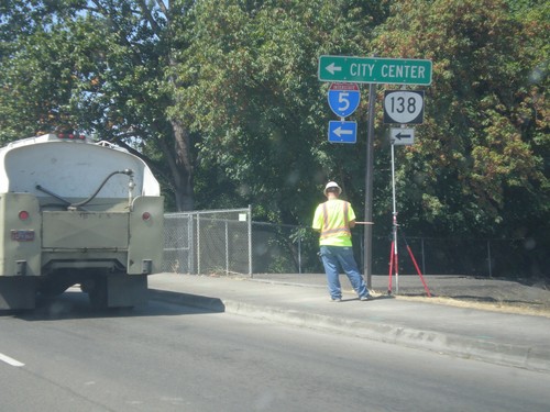
OR-138 West Approaching OR-99 In Roseburg
OR-138 West (Diamond Lake Blvd.) approaching OR-99 (Stephens St.) in Roseburg. Turn left to continue west on OR-138 and for access to I-5 and the Roseburg City Center. OR-138 joins OR-99 for a few blocks into Roseburg.
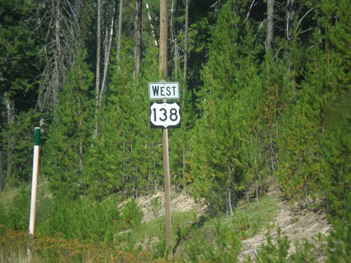
Incorrect OR-138 West Shield
Incorrect OR-138 shield displayed as a US highway marker. Taken between Lemolo Lake and Clearwater Falls.
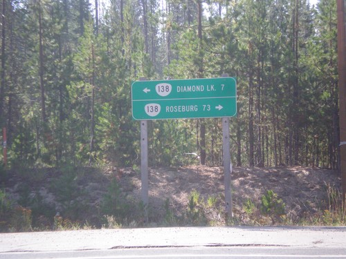
Birds Point Road at OR-138
Birds Point Road at OR-138. Birds Point Road connects the Lemolo Lake area with OR-138. Use OR-138 west to Roseburg; east to Diamond Lake.
