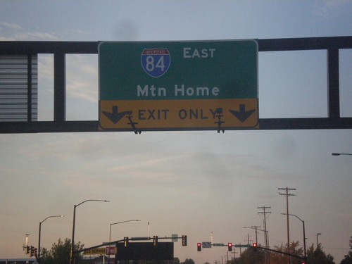
Signs From October 2015
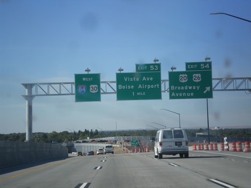
I-84 West - Exits 53 and 54
I-84 west at Exit 54 - US-20/US-26/Broadway Ave. Approaching Exit 53 - Vista Ave./Boise Airport. US-20/US-26 leave I-84 here.
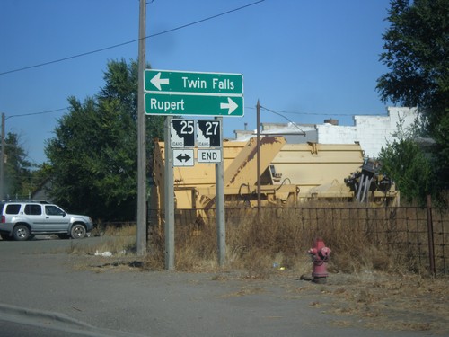
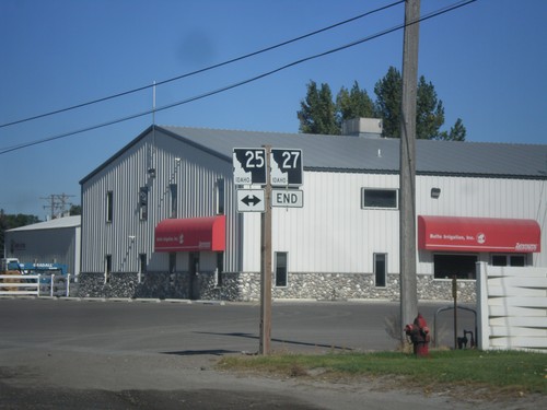
End ID-27 North at ID-25
End ID-27 North at ID-25. Use ID-25 east for Rupert; ID-25 west for Twin Falls.
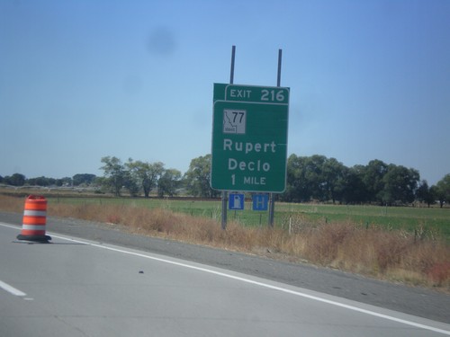
I-84 West - Exit 216
I-84 west approaching Exit 216 - ID-77/Rupert/Declo. The ID-25 shield is omitted from the advanced signage, but is included at the sign at the interchange itself.
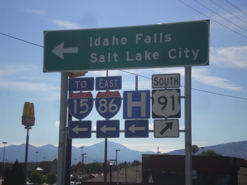
US-91 South at I-86 East (To I-15)
US-91 south at I-86 (Exit 61) onramp. Turn left on I-86 for Idaho Falls, and Salt Lake City via I-15.
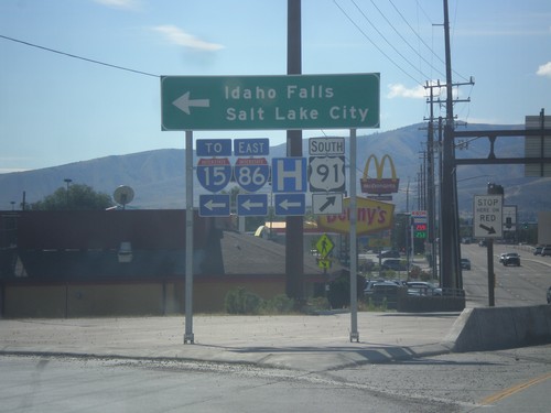
US-91 South at I-86 East (To I-15)
US-91 south at I-86 (Exit 61) onramp. Turn left on I-86 for Idaho Falls, and Salt Lake City via I-15.
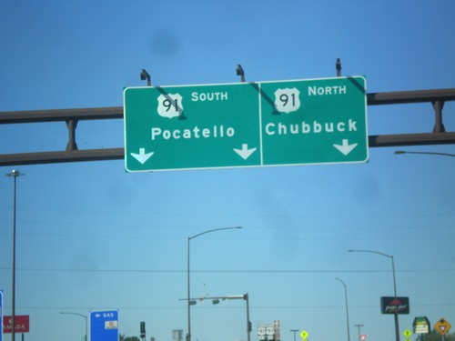
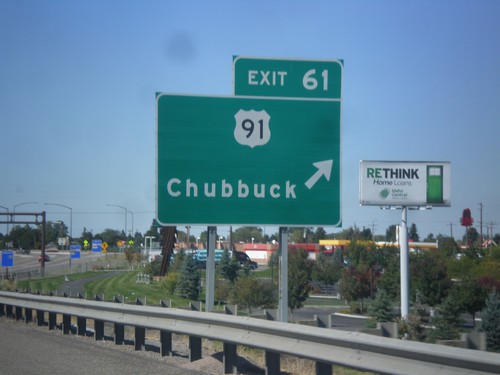
I-86 West - Exit 61 Offramp at US-91
I-86 west at Exit 61 offramp, US-91 jct. Use US-91 north for Chubbuck. Use US-91 south for Pocatello.
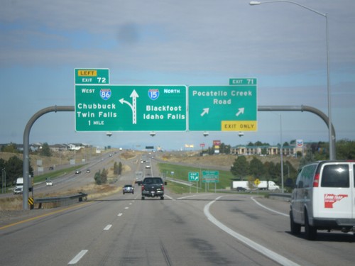
I-15 North - Exits 71 and 72
I-15 north at Exit 71 - Pocatello Creek Road. Approaching Exit 72 - I-86 West/Chubbuck/Twin Falls. Continue north on I-15 for Idaho Falls and Blackfoot.
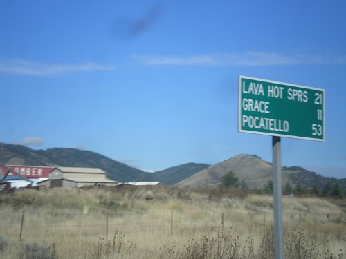
US-30 West/ID-34 South - Distance Marker
US-30 West/ID-34 South Distance Marker. Distance to Lava Hot Springs, Grace, Pocatello.
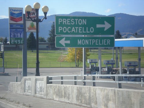
ID-34 South at US-30
ID-34 South at US-30. Turn left for US-30 west to Montpelier. Turn right for US-30 east to Pocatello and ID-34 south to Preston.
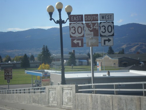
ID-34 South Approaching US-30
ID-34 South approaching US-30 in Soda Springs. ID-34 south joins US-30 east through Soda Springs.
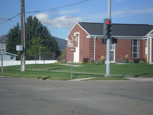
ID-34 South - Soda Springs
ID-34 south (East Hooper Ave.) at S. 3rd St. Turn left to continue south on ID-34.
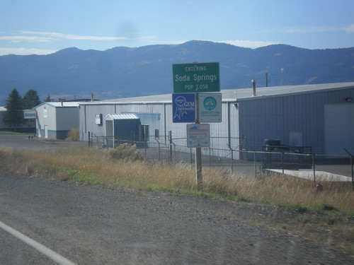
ID-34 South - Soda Springs
Entering Soda Springs on ID-34 south. Population 3058. Soda Springs is the county seat of Caribou County.
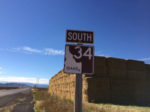
ID-34 South - Caribou County
ID-34 South in Caribou County. The shield is brown because it is part of the scenic/historic byway system, in this case the Pioneer Historic Byway.
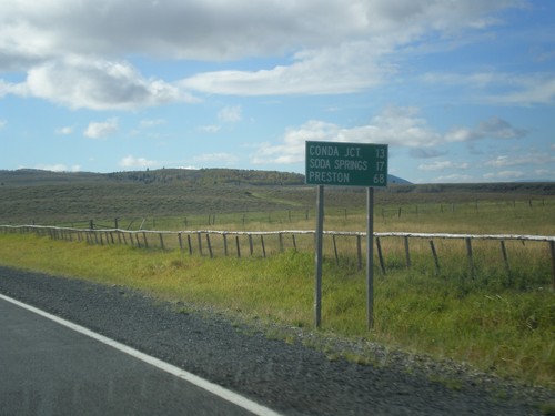
ID-34 South - Distance Marker
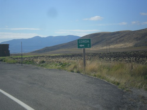
Distance marker on ID-34 south. Distance to Conda Jct., Soda Springs, and Preston.
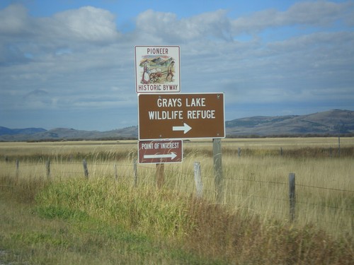
ID-34 South - Grays Lake Road Jct.
ID-34 South at Grays Lake Road Jct. Turn right for Grays Lake National Wildlife Refuge.
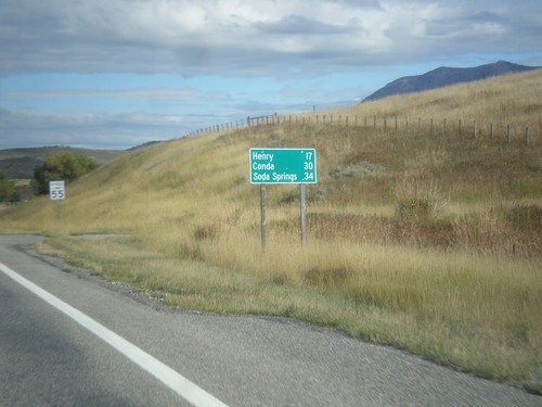
ID-34 South - Distance Marker
Distance marker on ID-34 south. Distance to Henry, Conda, and Soda Springs.
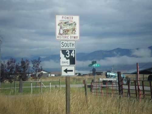
Stateline Road North at ID-34
Stateline Road north at ID-34 south. ID-34 is part of the Pioneer Historic Byway.
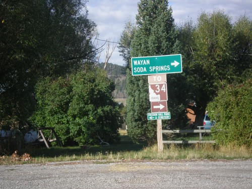
End WY-239 at Stateline Road
Turn right on Stateline Road to access ID-34 to Soda Springs and Wayan (both in Idaho). This sign assembly appears to have been erected by the Idaho Transportation Department. The west side of Stateline Road is in Idaho.
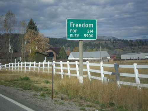
WY-239 West - Entering Freedom
Entering Freedom on WY-239 west - Elevation 5900; Population 214. Freedom is the oldest community in the Star Valley, and is named because of the settlers who were free to practice polygamy in Wyoming. The western boundary of the town is the Idaho stateline, where at the time had banned polygamy.
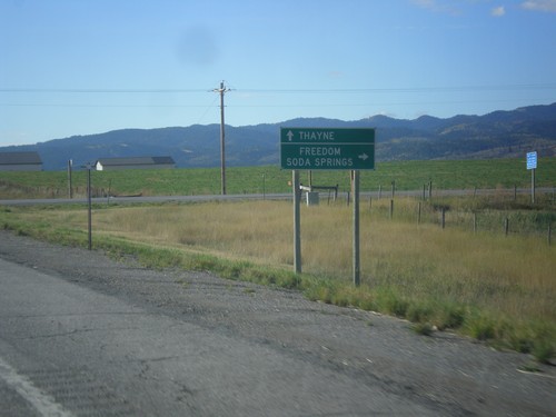
US-89 South at WY-239 West
US-89 South at WY-239 West to Freedom and Soda Springs (Idaho). Continue south on US-89 for Thayne. WY-239 is a short connecting route between US-89 and ID-34. There is no direct connection between ID-34 and WY-239 on the state highway system. There is a short stretch of county road running along the stateline between these two highways.
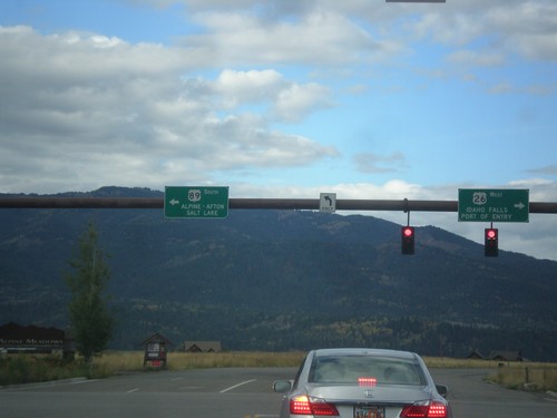
US-26 West/US-89 South - Alpine Junction
US-26 West/US-89 South at Alpine Junction. Turn right for US-26 West to Idaho Falls (ID) and the (Wyoming) Port of Entry. Turn left for US-89 south to Alpine, Afton, and Salt Lake (Utah).
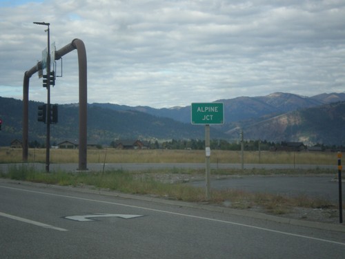
US-26 West/US-89 South - Alpine Junction
US-26 West/US-89 South at Alpine Junction. Alpine Junction is the name of the intersection of US-89 and US-26, which is across the Snake River from the town of Alpine.
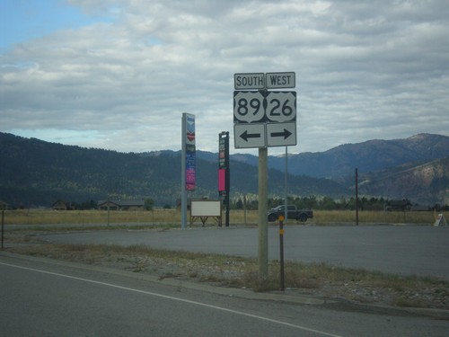
US-26 West/US-89 South at Split
US-26 West/US-89 South at split in Alpine Junction. Turn right for US-26 West; left for US-89 south.
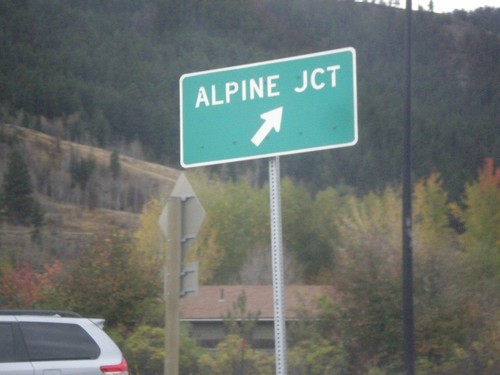
US-26 West - US-89/US-189/US-191 South in Hoback Jct. Roundabout
US-26 West - US-89/US-189/US-191 South in Hoback Jct. roundabout. Merge right for (US-26 West/US-89 South) Alpine Junction.
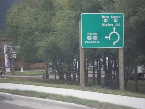
US-26 West - US-89/US-189/US-191 South - Roundabout
US-26 West - US-89/US-189/US-191 South entering roundabout at Hoback Junction. Use US-26 West/US-89 South for Alpine Jct.; use US-189/US-191 South for Pinedale. This intersection was converted to a roundabout in 2012.
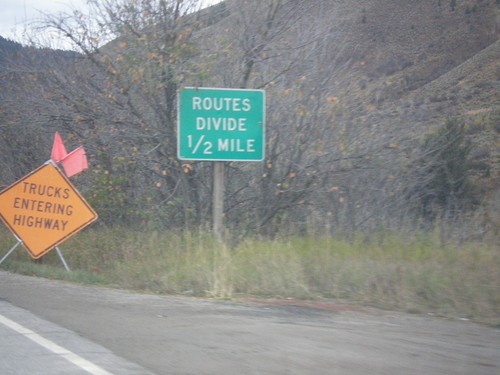
US-26 West - US-89/US-189/US-191 South - Routes Divide
US-26 West - US-89/US-189/US-191 South - Routes Divide. Approaching Hoback Jct., where US-189/US-191 separate from US-26/US-89. The Routes Divide sign in Wyoming is common in this situation where one route splits from another route.
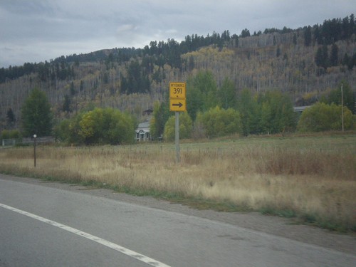
US-26 West - US-89/US-189/US-191 South at WY-391
US-26 West - US-89/US-189/US-191 South at WY-391 junction.
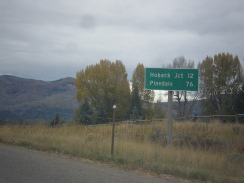
US-26 West - US-89/US-189/US-191 South - Distance Marker
Distance Marker on US-26 West - US-89/US-189/US-191 South. Distance to Hoback Jct. and Pinedale (via US-191 South).
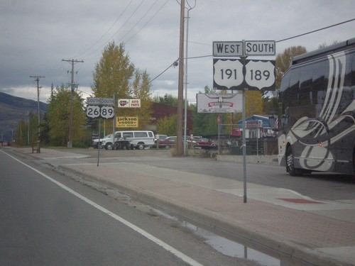
US-26 West - US-89/US-189/US-191 South in Jackson
US-26 West - US-89/US-189/US-191 South in Jackson. Two separate sign posts were used to hold all of the route shields.
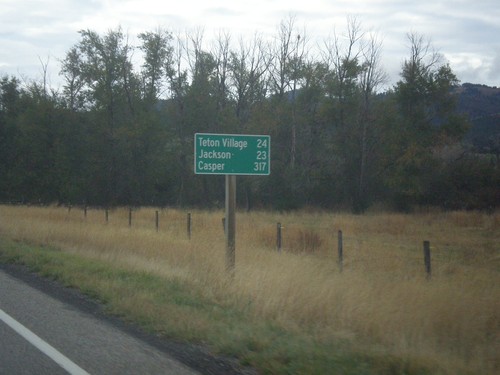
ID-33 East - Distance Marker
Last distance marker on ID-33 east in Idaho. Distance to Teton Village, Jackson, and Casper.
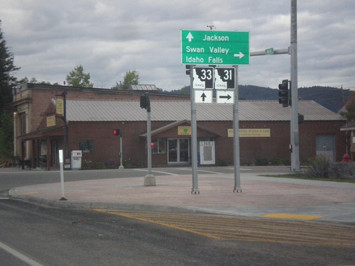
ID-33 East at ID-31
ID-33 East at ID-31 in Victor. Turn right on ID-31 south for Swan Valley and Idaho Falls. Continue straight on ID-33 for Jackson (Wyoming). Teton Scenic Byway leaves ID-33 here and follows ID-31 south.
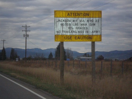
ID-33 East - Teton Pass Restrictions
Sign listing restrictions on Teton Pass in Wyoming. 60,000 lbs GVW over Teton Pass; no trailers 11-15 to 4-1. 10% grades over Teton Pass.
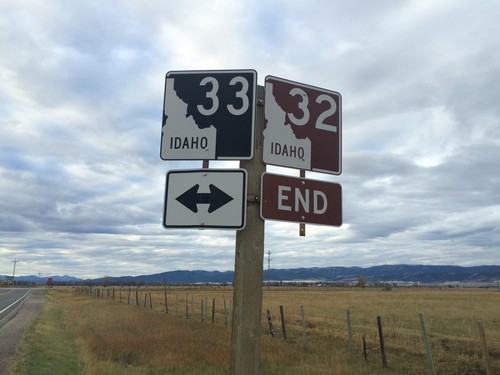
End ID-32 at ID-33
End ID-32 south at ID-33 near Tetonia. The Teton Scenic Byway continues onto ID-33 east, towards Driggs.
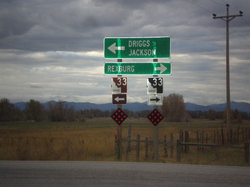
End ID-32 South at ID-33
End ID-32 south at ID-33. Use ID-33 west for Rexburg. Use ID-33 east for Driggs and Jackson (Wyoming). Use ID-33 east to continue on the Teton Scenic Byway.
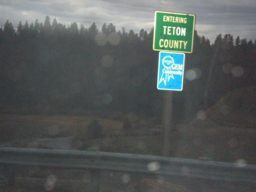
ID-32 South - Teton County
Entering Teton County on ID-32 South. The Fremont-Teton County Line on ID-32 is at Bitch Creek. The bridge over Bitch Creek was not signed with the creek name.
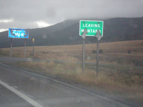
MT-87 South - Raynolds Pass
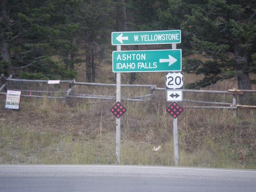
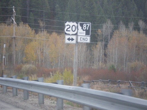
MT-87 at Raynolds Pass - Leaving Montana. The Idaho welcome sign is in the background. An early season snow storm had just passed through the area, leaving wet snow on all of the signs.
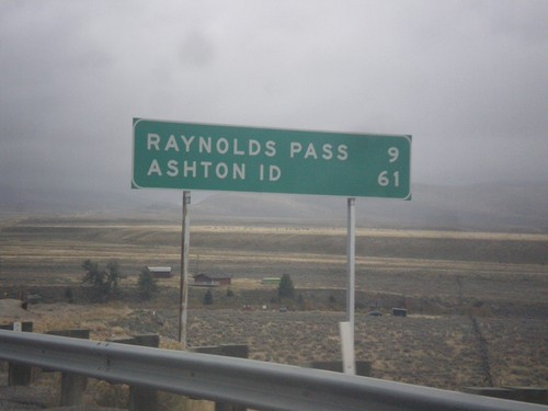
MT-87 South - Distance Marker
Distance marker on MT-87 south. Distance to Raynolds Pass (State Line - Continental Divide) and Ashton, ID.
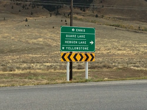
End MT-87 North at US-287
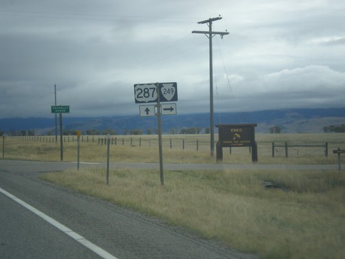
End MT-87 North at US-287. Use US-287 north for Ennis; use US-287 south for Quake Lake, Hebgen Lake, and West Yellowstone.
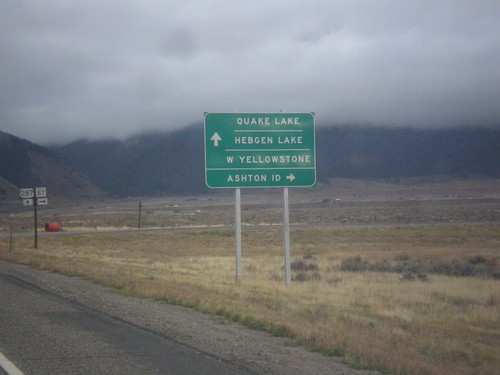
US-287 South at MT-87
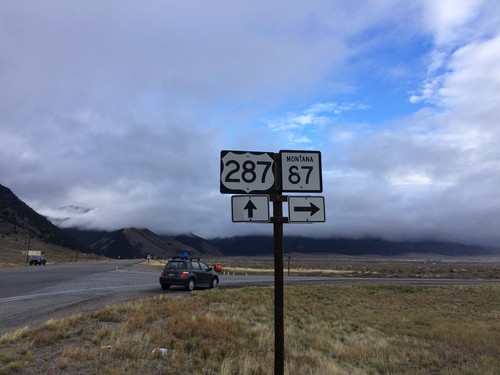
US-287 South at MT-87 South. Turn right for MT-87 south to Ashton, ID. Continue south on US-287 for Quake Lake, Hebgen Lake, and West Yellowstone.
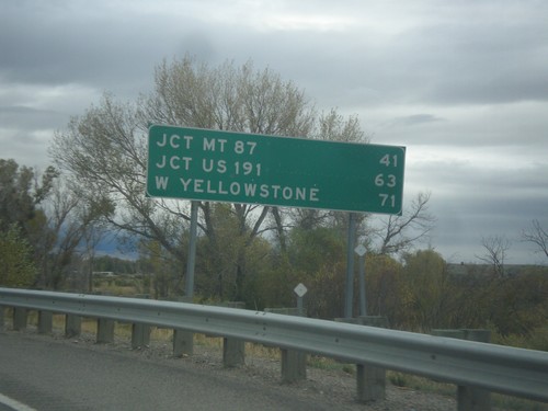
US-287 South - Distance Marker
Distance marker on US-287 south. Distance to Jct. MT-87, Jct. US-191, and West Yellowstone.
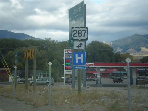
End MT-287 South at US-287
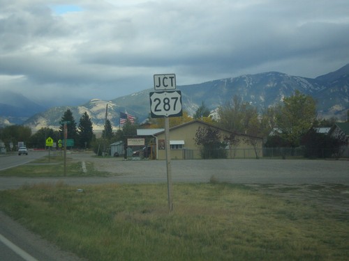
End MT-287 south at US-287 in Ennis. Turn left for US-287 north; straight for US-287 south.
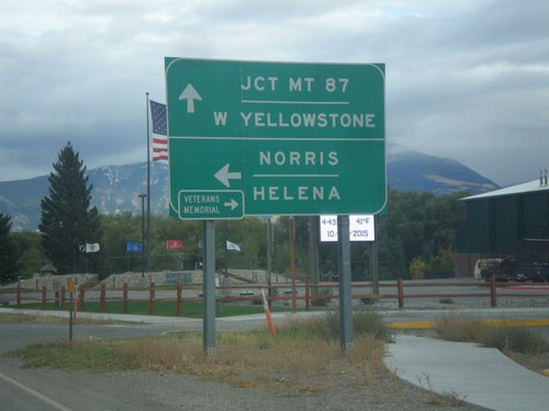
End MT-287 South at US-287
End MT-287 South at US-287. Turn left for US-287 north to Norris and Helena. Continue straight for US-287 south to West Yellowstone and Jct. MT-87. Turn right for the Madison Valley Veterans’ Memorial.
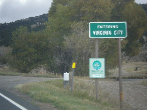
MT-287 South - Virginia City
Entering Virginia City on MT-287 south. Virginia City is the county seat of Madison County, and was the capitol of Montana Territory from 1865 to 1875.
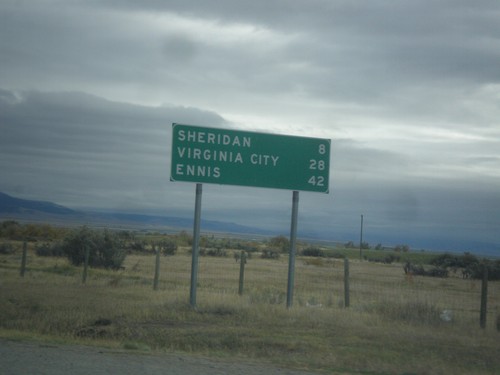
MT-287 South - Distance Marker
Distance marker on MT-287 south. Distance to Sheridan, Virginia City, and Ennis.
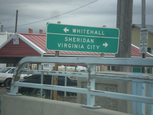
MT-41 North at MT-287
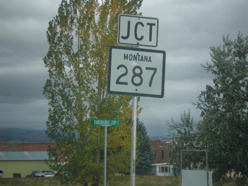
MT-41 North at MT-287 south to Sheridan and Virginia City. Turn left to continue north on MT-41 to Whitehall.
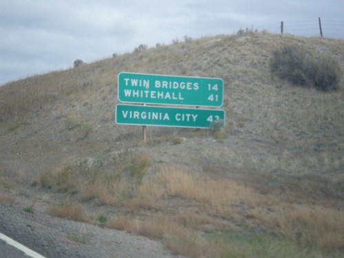
MT-41 North - Distance Marker
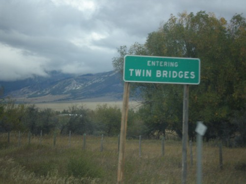
Distance marker on MT-41 north. Distance to Twin Bridges, Whitehall, and Virginia City (via MT-287).
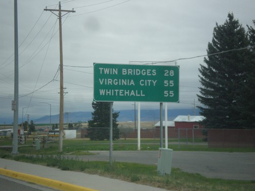
MT-41 North - Distance Marker
Distance marker on MT-41 north. Distance to Twin Bridges, Virginia City (via MT-287) and Whitehall.
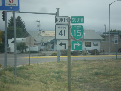
BL-15 South at MT-15
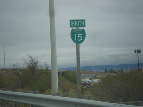
BL-15 South at MT-15 in Dillon. Turn right to continue south on BL-15; left for MT-41 north.
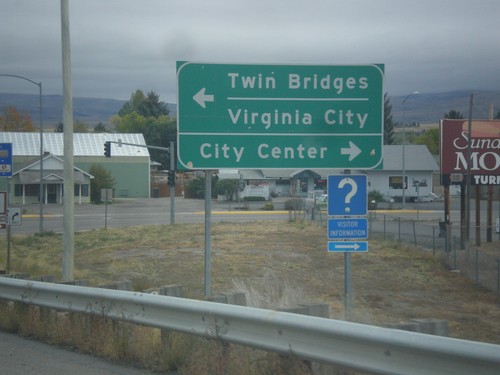
BL-15 South at MT-41
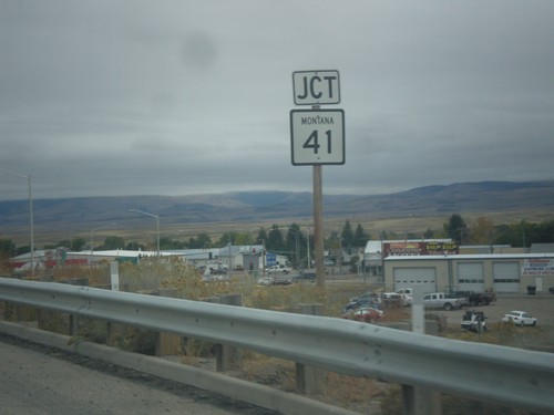
BL-15 at MT-41 in Dillon. Turn right to continue south on BL-15 for City Center (Dillon); left for MT-41 north to Twin Bridges and Virginia City.
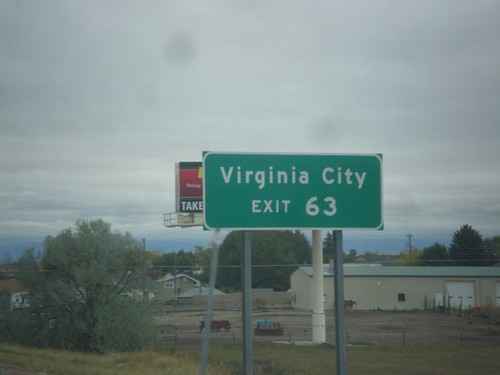
I-15 North - Exit 63
I-15 north approaching Exit 63. Use Exit 63 for Virginia City (via MT-41 and MT-287).
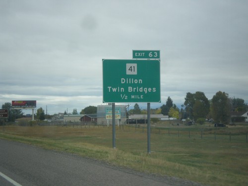
I-15 North - Exit 63
I-15 north approaching Exit 63 - MT-41/Dillon/Twin Bridges. MT-41 can be used as a shortcut between I-15 and I-90 at Whitehall.
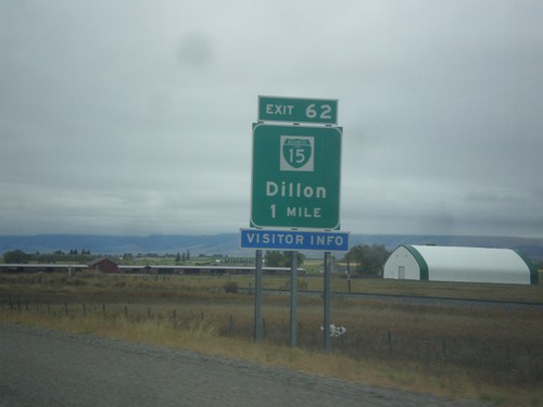
I-15 North - Exit 62
I-15 north approaching Exit 62 - BL-15/Dillon. Dillon is the county seat of Beaverhead County and is home to the University of Montana Western.
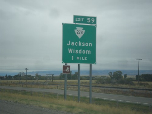
I-15 North - Exit 59
I-15 north approaching Exit 59 - MTS-278/Jackson/Wisdom. The ski area logo on the sign refers to the Maverick Mountain Ski Area.
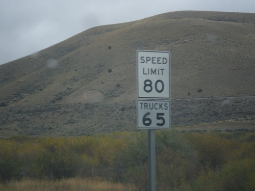
I-15 North - Speed Limit 80
Speed Limit 80 / Trucks 65 on I-15 north. Montana raised their speed limits to 80 MPH on rural interstates on October 1st 2015.
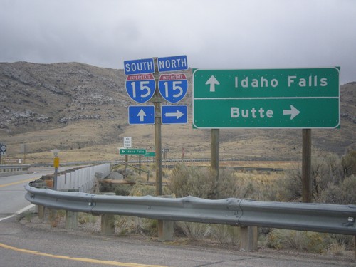
Frontage Road at I-15
Frontage Road at I-15. Turn right for I-15 north to Butte; continue over freeway for I-15 south to Idaho Falls (ID). Continue straight for MTS-324.
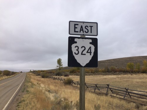
MTS-324 East - Beaverhead County
MTS-324 East - Beaverhead County. This is the first MTS-324 shield on the route eastbound. The first few miles of gravel road from the Idaho stateline did not have any shields, mileposts, or other markings. This sign is when the paved road starts.
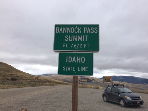
ID-29 West - Bannock Pass - Idaho State Line
Idaho State Line on ID-29 west at Bannock Pass - Elevation 7672 Feet. Bannock Pass is on the Continental Divide located on the Idaho-Montana border.
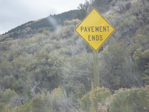
ID-29 - Pavement Ends
Pavement Ends on ID-29 east. ID-29 is one of two state highways in Idaho (the other is ID-64) that has segments that are not paved.
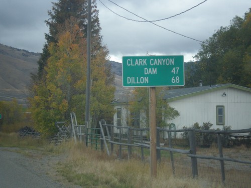
ID-29 East - Distance Marker
Distance marker on ID-29 east. Distance to Clark Canyon Dam (I-15 Jct. in Montana) and Dillon (Montana).
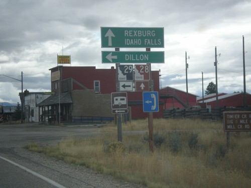
ID-28 South at ID-29
ID-28 south at ID-29 east to Dillon (Montana). Continue south on ID-28 for Rexburg and Idaho Falls.
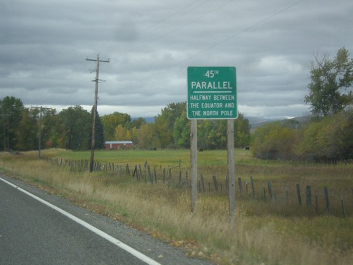
ID-28 South - 45th Parallel
ID-28 South - 45th Parallel - Halfway Between The Equator and North Pole.
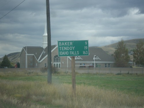
ID-28 South - Distance Marker
Distance marker on ID-28 south in Salmon. Distance to Baker, Tendoy, and Idaho Falls.
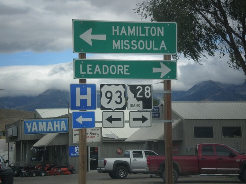
US-93 North at ID-28
US-93 North at ID-28 south to Leadore. Turn left to continue north on US-93 to Hamilton (MT) and Missoula (MT).
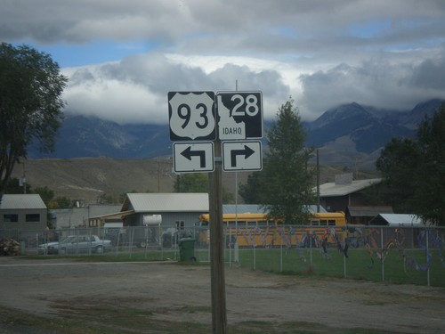
US-93 North Approaching ID-28
US-93 North approaching ID-28 in Salmon. Turn left to continue north on US-93; right for ID-28 south.
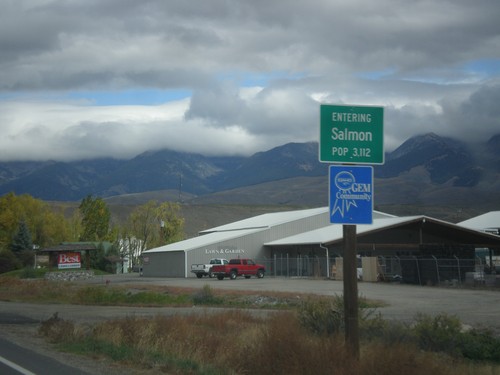
US-93 North - Entering Salmon
Entering Salmon - Population 3,112 on US-93 north. Salmon is the county seat of Lemhi County.
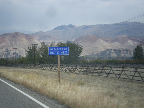
US-93 North - No Gas Next 57 Miles
US-93 North - No Gas/Diesel Next 57 Miles (in Salmon). Taken on the north end of Challis.
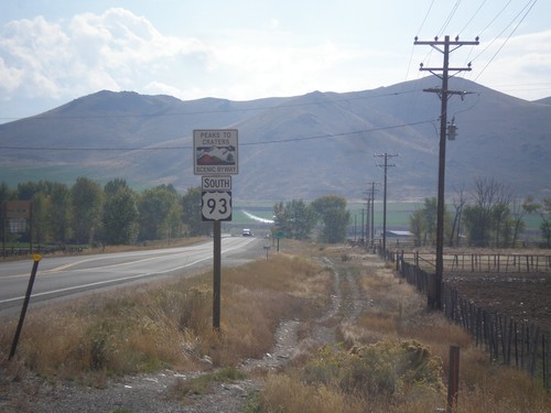
US-93 South - Peaks To Craters Scenic Byway
US-93 South - Peaks To Craters Scenic Byway in Custer County.
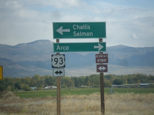
End ID-75 North at US-93
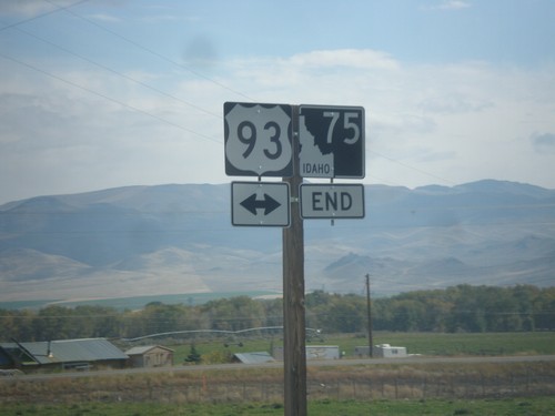
End ID-75 at US-93. Turn left for US-93 north to Challis and Salmon. Turn right for US-93 south to Arco. US-93 north is part of the Salmon River Scenic Byway; US-93 south is part of the Peaks to Craters Scenic Byway.
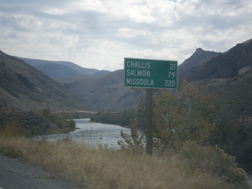
ID-75 North - Distance Marker
Distance marker on ID-75 north. Distance to Challis, Salmon, and Missoula (Montana). The Salmon River is in the background.
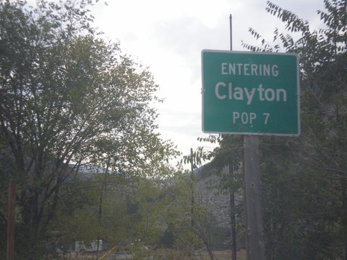
ID-75 North - Entering Clayton
Entering Clayton on ID-75 North. Clayton has a population of 7, making it the second smallest city in the state behind Warm River.
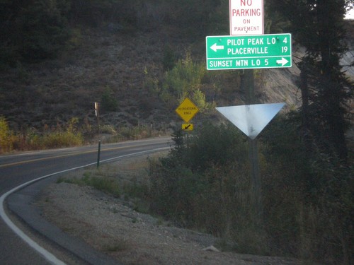
ID-21 East at Mores Creek Summit
ID-21 east at Mores Creek Summit. Turn left for Pilot Peak Lookout and Placerville; right for Sunset Mountain Lookout.
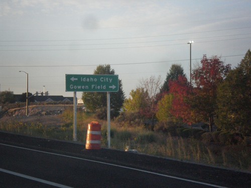
I-84 East Exit 57 Offramp at ID-21
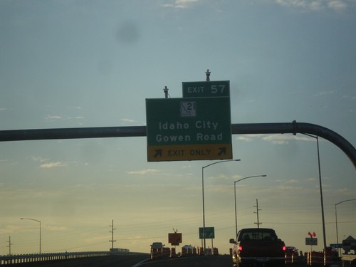
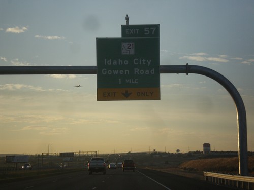
I-84 East Exit 57 Offramp at ID-21. Turn left for ID-21 east to Idaho City; turn right for Gowen Road.
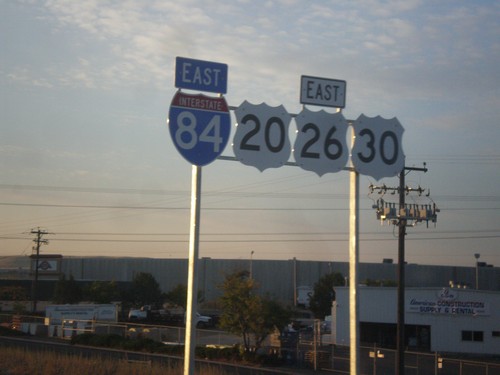
I-84/US-20/US-26/US-30 East Shields
I-84/US-20/US-26/US-30 east shields. Four highways join together between Boise and Mountain Home, which is the most overlaps of any stretch of highway in Idaho. Notice the US highway shields are missing the surrounding black box. This stretch of highway was recently widened, and it was probably incorrectly placed by a contractor.
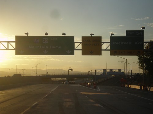
I-84 East - Exit 54
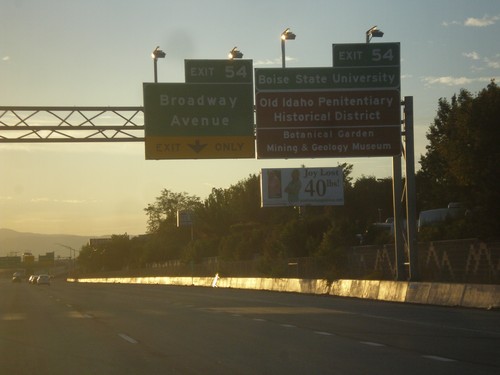
I-84 east at Exit 54 - Broadway Ave. I-84/US-30 continues east to Mountain Home. US-20 and US-26 join I-84 eastbound here.
