Signs From May 2016
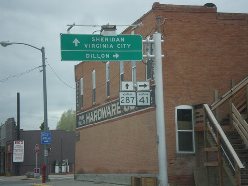
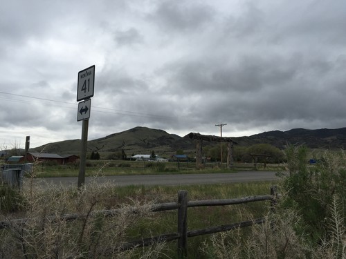
MT-41 South at MT-287
MT-41 South at MT-287 in Twin Bridges. Turn right to continue south on MT-41 to Dillon. Continue straight for MT-287 south to Sheridan and Virginia City.
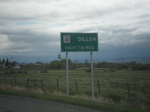
MT-41 South Approaching MT-287
MT-41 South approaching MT-287. Use MT-41 south for Dillon. Drivers will need to turn right in Twin Bridges to continue south on MT-41.
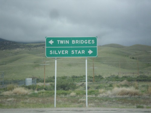
End MTS-422 at MT-41
End MTS-422 at MT-41 in Silver Star. Turn right for Silver Star; left for Twin Bridges.
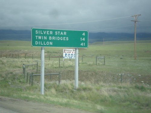
MT-41 South - Distance Marker
Distance marker on MT-41 south. Distance to Silver Star, Twin Bridges, and Dillon.
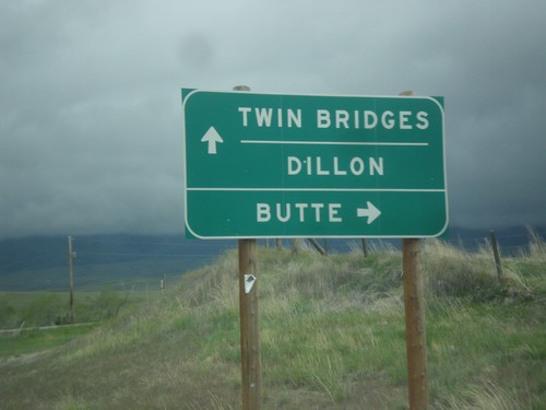
End MT-55 South at MT-41
End MT-55 South at MT-41. Turn right for MT-41 north to Butte; continue straight for MT-41 south to Twin Bridges and Dillon.
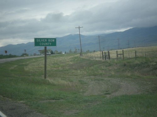
MT-55 South - Silver Bow County
Entering Silver Bow County on MT-55 south. MT-55 crosses a tiny sliver of Silver Bow County.
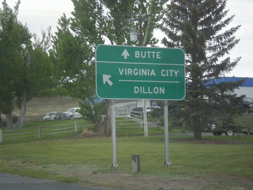
MT-2 West/MT-55 South at Split
MT-2 West/MT-55 South at MT-2/MT-55 Split. Use MT-2 west to Butte; MT-55 south to Virginia City and Dillon.
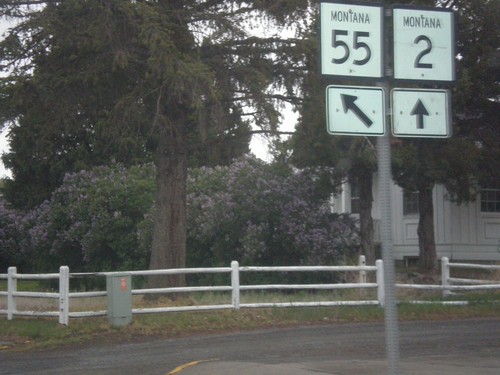
MT-2 West/MT-55 South at Split
MT-2 West/MT-55 South at MT-2/MT-55 split in Whitehall. Merge left to continue south on MT-55.
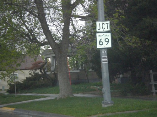
MT-55 South (Whitehall St.) Approaching MT-69 and MT-2
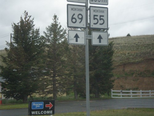
MT-55 South (Whitehall St.) Approaching MT-69 and MT-2 (not signed) in Whitehall.
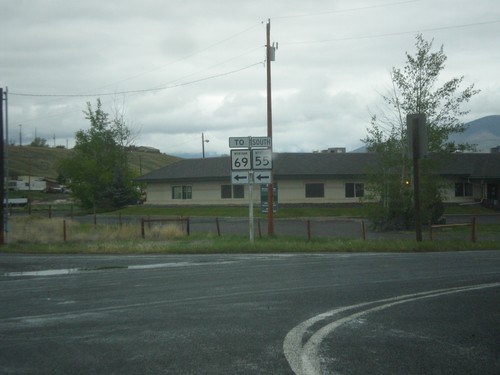
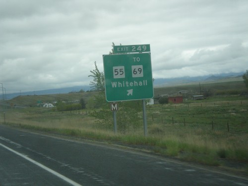
I-90 West - Exit 249 Offramp at MT-55/To MT-69
I-90 West - Exit 249 Offramp at MT-55/To MT-69 in Whitehall.
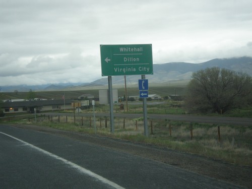
I-90 West Exit 249 Offramp at MT-55
I-90 West Exit 249 Offramp at MT-55 in Whitehall. Turn left for MT-55 south to Whitehall, Dillon (via MT-41) and Virginia City (via MT-287).
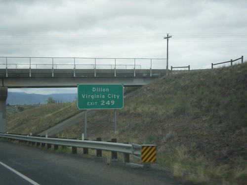
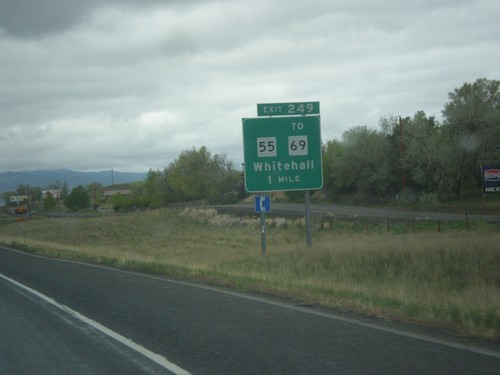
I-90 West - Exit 249
I-90 west approaching Exit 249. Use Exit 249 for MT-55 south to Virginia City (via MT-287) and Dillon (via MT-41). MT-55 and MT-41 to Dillon is often used as a shortcut to I-15 south into Idaho, instead of using I-90 west to Butte to connect to I-15.
I-90 West - Broadwater County
Entering Broadwater County on I-90 east at the Jefferson River. The Jefferson River is one of the three forks of the Missouri River, the other two being the Madison and Gallatin Rivers.
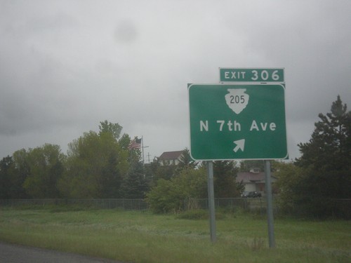
I-90 West - Exit 306
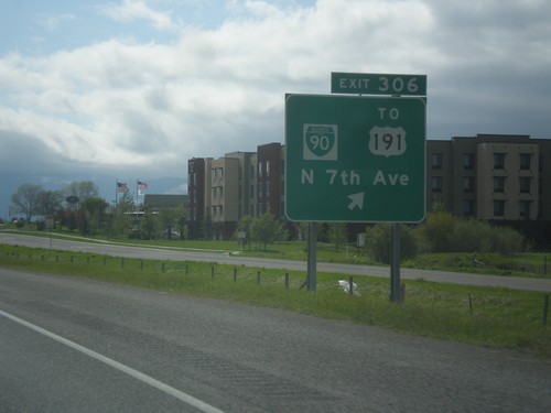
I-90 west approaching Exit 306 - MTS-205/N. 7th Ave. This is the west end of the Bozeman business loop.
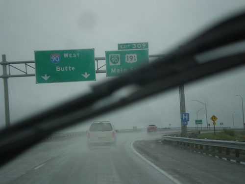
I-90 West - Exit 309
I-90 west at Exit 309 - BL-90/US-191/Main St. US-191 south leaves I-90 westbound here. I-90 continues west to Butte.
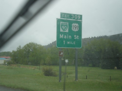
I-90 West - Exit 309
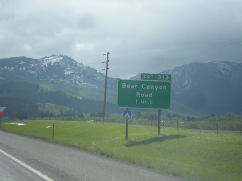
I-90 west approaching Exit 309 - BL-90/US-191/Main St. US-191 south leaves I-90 westbound here. Use US-191 south for the west entrance of Yellowstone National Park at West Yellowstone, Montana. This is the eastern end of the Bozeman business loop.
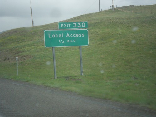
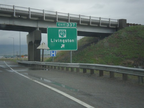
I-90 West - Exit 330
I-90 west approaching Exit 330 - Local Access. This is the western end of the Livingston business loop.
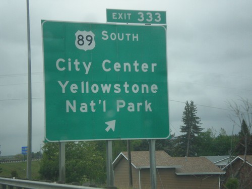
I-90 West - Exit 333
I-90 west at Exit 333 - US-89 South/(Livingston)City Center/Yellowstone National Park. US-89 south leaves I-90 westbound here. Use US-89 south for the north entrance of Yellowstone National Park at Gardiner, Montana.
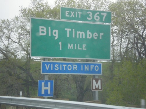
I-90 West - Exit 367
I-90 west approaching Exit 367 - Big Timber. This is the western end of the Big Timber business loop. US-191 south joins I-90 westbound here to Bozeman.
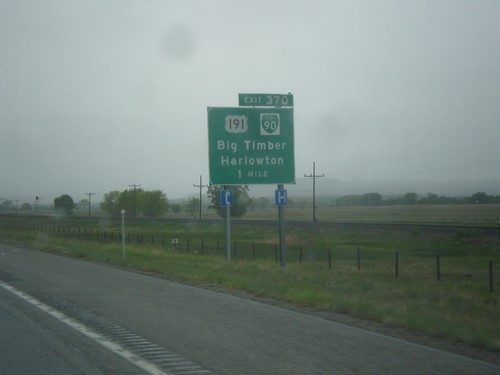
I-90 West - Exit 370
I-90 west approaching Exit 370 - US-191/BL-90/Big Timber/Harlowton. Use Exit 370 for access to US-191 north. This sign should read TO US-191, as US-191 does not join intersect I-90 until Exit 367.
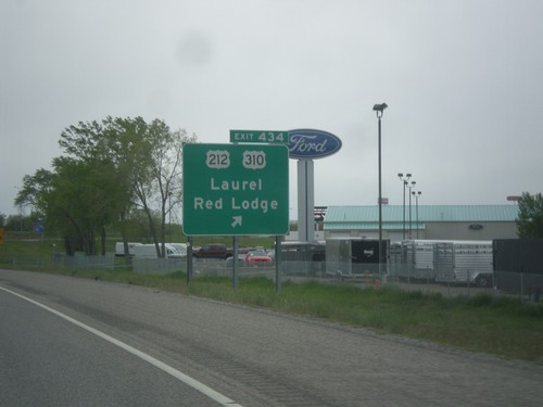
I-90 West - Exit 434
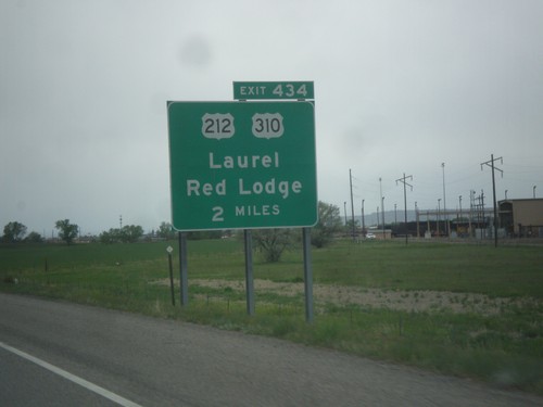
I-90 west at Exit 434 - US-212/US-310/Laurel/Red Lodge. US-212 west leaves I-90 westbound here. Eastbound US-212 east joins I-90 to Crow Agency. This is the northern terminus of US-310.
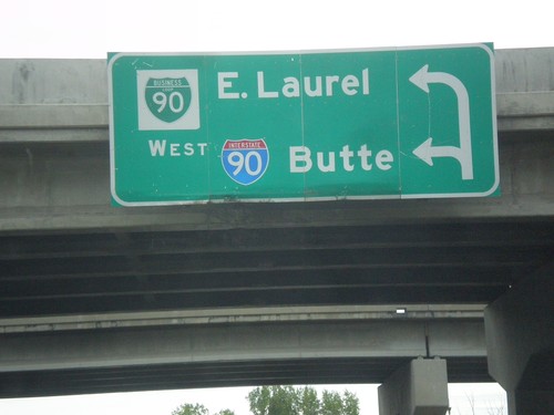
Begin BL-90 West at I-90 West
Begin BL-90 West at I-90 West to Butte (first left). Use second left for BL-90 to East Laurel.
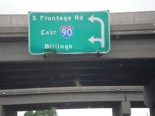
End BL-90 East at South Frontage Road and I-90 East
End BL-90 East at South Frontage Road and I-90 East to Billings.
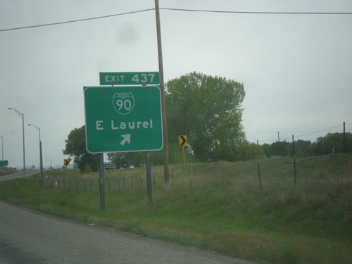
I-90 West - Exit 437
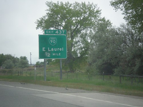
I-90 west at Exit 437 - BL-90/East Laurel. This is the eastern end of the Laurel business loop.
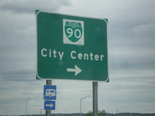
King Ave. West at BL-90 (Laurel Road)
King Ave. West at BL-90 (Laurel Road) to (Billings) City Center.
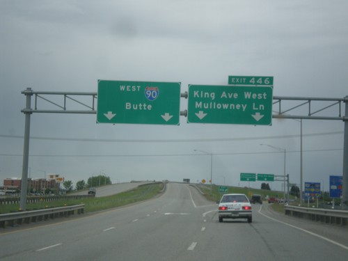
I-90 West - Exit 446
I-90 west at Exit 446 - King Ave. West/Mullowney Lane. I-90 continues west towards Butte.
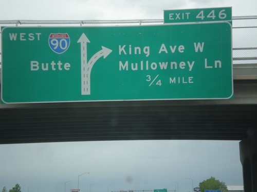
I-90 West - Exit 446
I-90 west approaching Exit 446 - King Ave W./Mullowney Lane. I-90 continues west towards Butte. This is the western end of the Billings business loop.
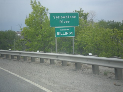
I-90 West - Yellowstone River / Entering Billings
I-90 west at the Yellowstone River. Entering Billings. Billings is the largest city in Montana and the county seat of Yellowstone County.
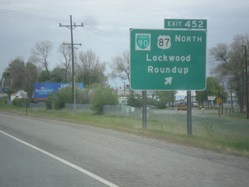
I-90 West - Exit 452
I-90 west at Exit 452 - BL-90/US-87 North/Lockwood/Roundup. US-87 north leaves I-90 westbound here.
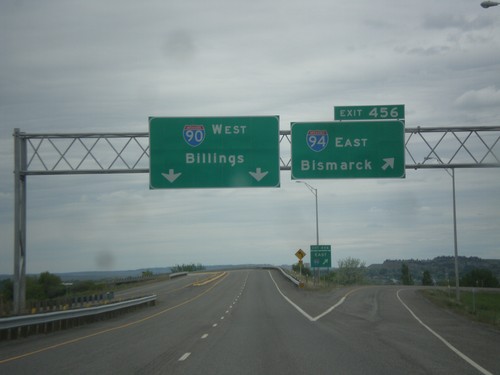
I-90 West at I-94 East - Yellowstone County
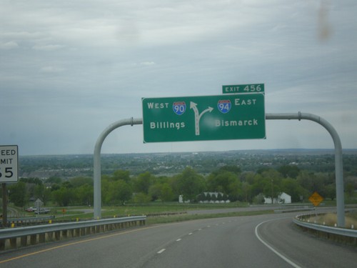
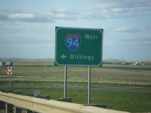
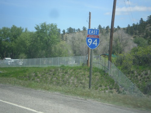
I-90 West at Exit 456 - I-94 East/Bismarck (North Dakota). Continue west on I-90 for Billings. This is the western terminus of I-94.
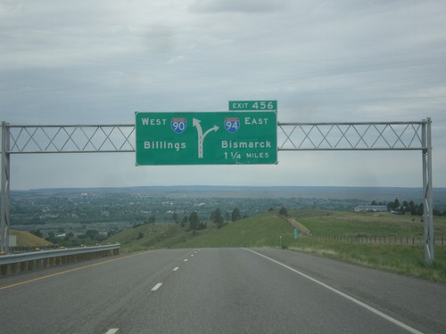
I-90 West - Exit 456
I-90 west approaching Exit 456 - I-94 East/Bismarck (North Dakota). Continue west on I-90 for Billings.
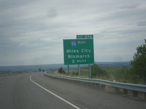
I-90 West - Approaching I-94 (Exit 456)
I-90 West - approaching Exit 456 - I-94 East/Miles City/Bismarck (North Dakota)
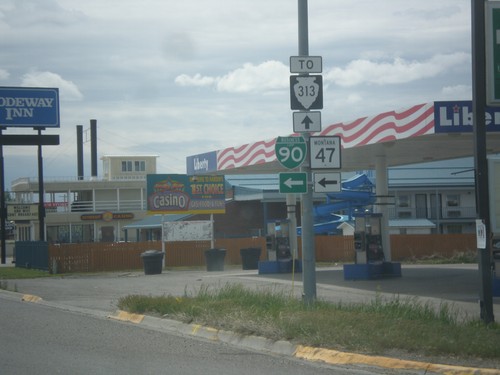
BL-90 East/MT-47 South at 14th St.
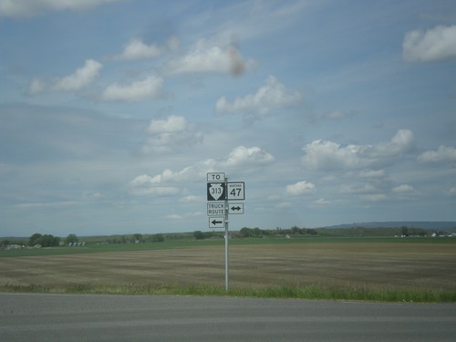
BL-90 East/MT-47 South at 14th St. Turn left for 14th St. to continue on BL-90 East/MT-47 South. Continue straight on Crawford St. for MTS-313 access.
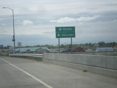
BL-90 East at I-90 East (Exit 495)
BL-90 East at I-90 East (Exit 495) to Sheridan (Wyoming). Continue east on BL-90 for Hardin.
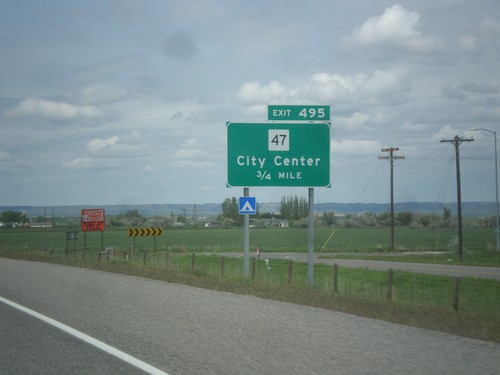
I-90 West - Exit 495
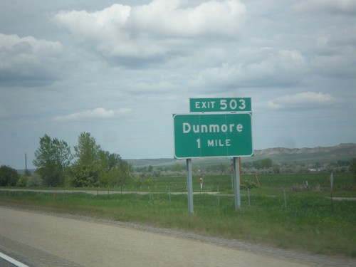
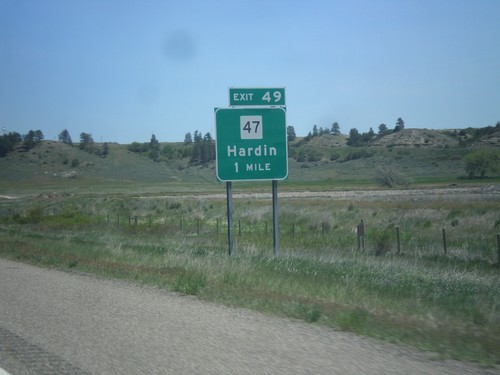
I-90 west approaching Exit 495 - MT-47/City Center. This is the west end of the Hardin business loop.
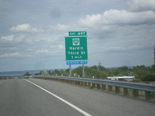
I-90 West - Exit 497
I-90 west approaching Exit 497 - BL-90/Hardin/Third St. Hardin is the county seat of Big Horn County.
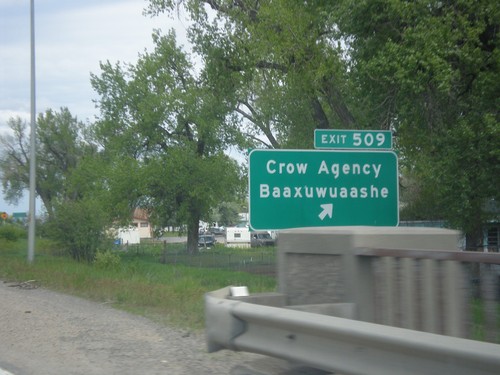
I-90 West - Exit 509
I-90 west at Exit 509 - Crow Agency/Baaxuwuaashe. Crow Agency is the seat of tribal government for the Crow Indian Reservation.
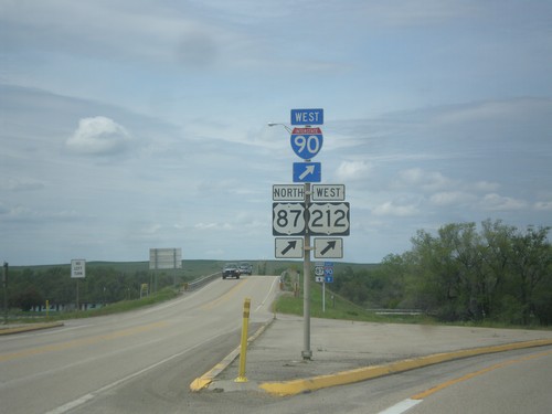
US-212 West at I-90/US-87 (Exit 510)
US-212 West at I-90/US-87. Merge right onto I-90 West/US-87 North to continue west on US-212. US-212 joins I-90 west to Laurel.
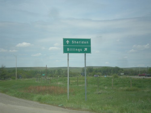
US-212 West at I-90 (Exit 510)
US-212 West at I-90 (Exit 510). Use I-90 west for Billings; I-90 east for Sheridan (Wyoming).
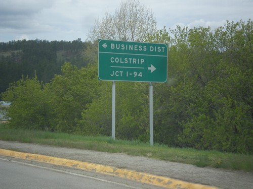
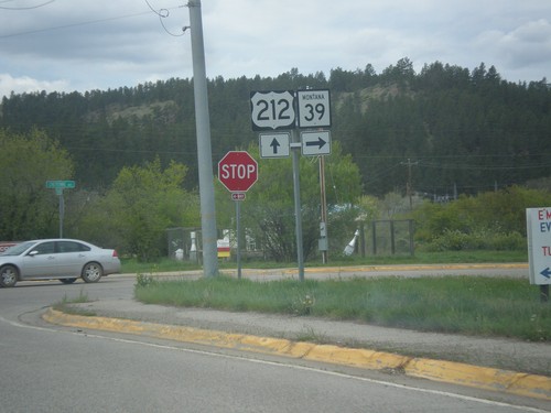
US-212 West Approaching MT-39
US-212 West Approaching MT-39 north to Colstrip and Jct. I-94. Turn left for Cheyenne Ave. south to (Lame Deer) Business District.
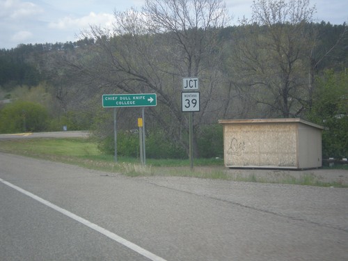
US-212 West Approaching MT-39
US-212 west approaching MT-39. Turn right for Chief Dull Knife College.
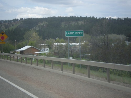
US-212 West - Lame Deer
Entering Lame Deer on US-212 west. Lame Deer is the tribal headquarters of the Northern Cheyenne Indian Reservation.
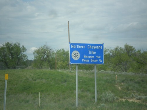
US-212 West - Northern Cheyenne Indian Reservation
US-212 West - Northern Cheyenne Tribe Welcomes You! Please Buckle Up.
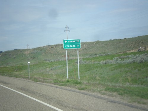
US-212 West - Big Pumpkin Creek Road Jct.
US-212 West at Big Pumpkin Creek Road Jct. Turn right for Volborg; left for Sonnette.
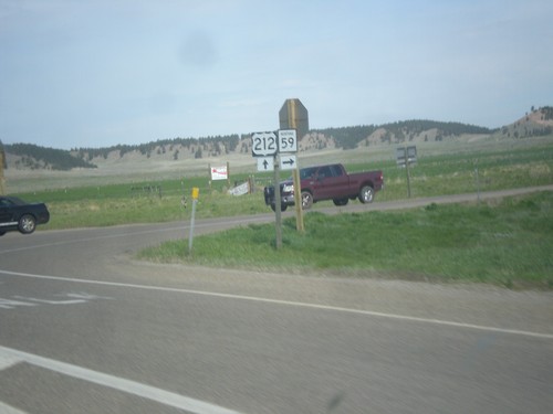
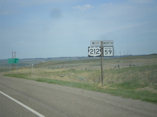
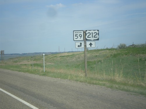
US-212 West/MT-59 North at US-212/MT-59 Split
US-212 West/MT-59 North at US-212/MT-59 Split in Power River County. Turn right to continue north on MT-59.
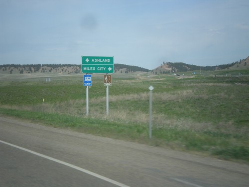
US-212 West/MT-59 North Split
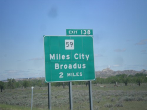
US-212 West/MT-59 North Split in Power River County. Turn right to continue north on MT-59 to Miles City; continue straight for US-212 west to Ashland.
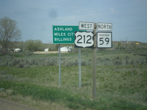
US-212 West/MT-59 North - Distance Marker
Distance Marker on US-212 West/MT-59 North. Distance to Ashland, Miles City (via MT-59), and Billings.
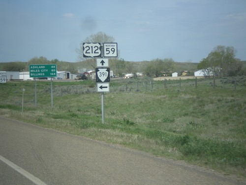
US-212 West/MT-59 North at MTS-391 South
US-212 West/MT-59 North at MTS-391 South in Broadus. Distance marker in background to Ashland, Miles City (via MT-59 North), and Billings.
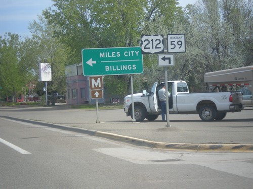
US-212 West/MT-59 North - Broadus
US-212 West/MT-59 North (Park Ave) at Holt St. in Broadus. Turn left on Holt St. to continue on US-212 West/MT-59 North to Miles City and Billings.
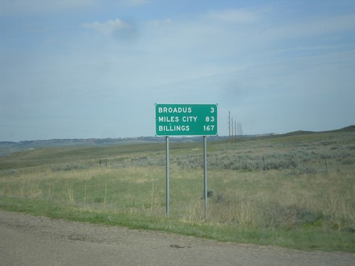
US-212 West/MT-59 North - Distance Marker
Distance marker on US-212 West/MT-59 North. Distance to Broadus, Miles City (via MT-59 north), and Billings (via US-212 west).
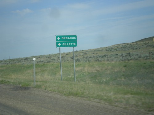
US-212 West Approaching MT-59
US-212 west approaching MT-59 south to Gillette (Wyoming). Continue west on US-212 West/MT-59 North to Broadus.
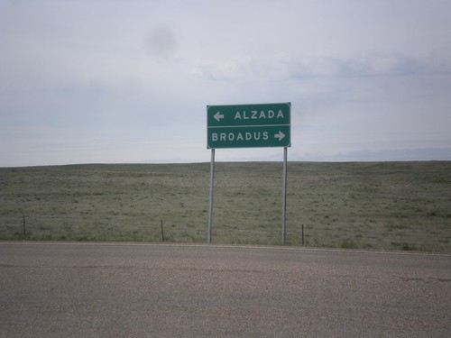
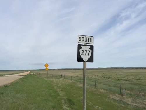
End MTS-277 South at US-212
End MTS-277 South at US-212. Turn right for US-212 west to Broadus; left for US-212 east to Alzada.
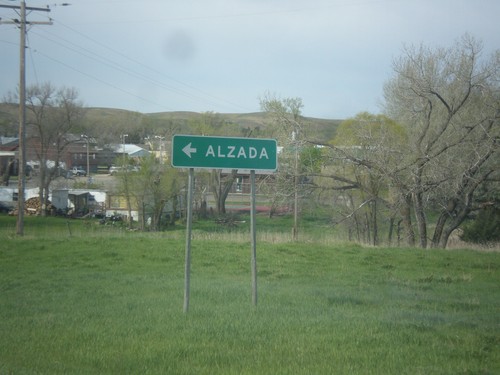
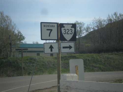
End MT-7 South at MTS-323
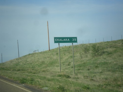
End MT-7 South at MTS-323 in Ekalaka. Turn left for MTS-323 south to Alzada.
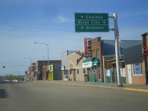
MT-7 South at US-12
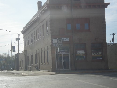
MT-7 South at US-12 in Baker. Turn right for US-12 west to Miles City; left for US-12 east to Bowman (North Dakota). Continue south on MT-7 for Ekalaka.
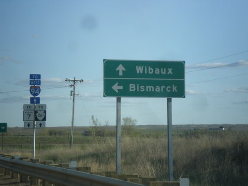
MT-7 South at I-94 East
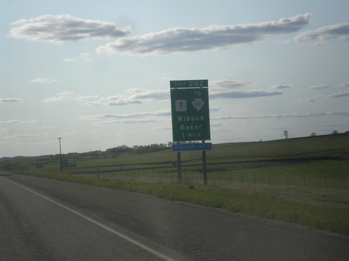
MT-7 South at I-94 East to Bismarck (North Dakota). Continue south on MT-7 for MTS-261 and Wibaux.
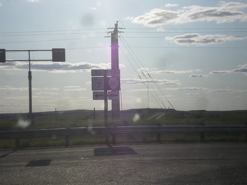
I-94 West at MT-7
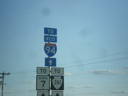
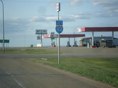
I-94 west at MT-7/To MTS-261. MT-7 is signed as “To” MT-7 into Wibaux. The Montana state highway logs list MT-7 as connecting to I-94 at this interchange.
I-94 West - Distance Marker
Distance marker on I-94 west. Distance to Wibaux, Glendive, and Billings.
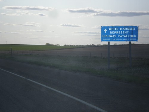
I-94 West - White Markers Represent Highway Fatalities
I-94 West - White Markers Represent Highway Fatalities. The American Legion of Montana maintains erects small white crosses along the highways of Montana where a highway fatality has occurred.
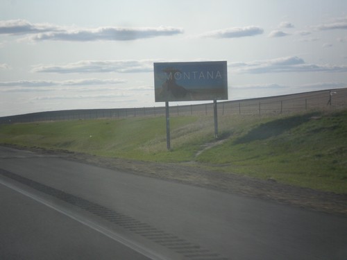
I-94 West - Welcome To Montana
Welcome to Montana on I-94 west. Taken at the North Dakota - Montana state line.
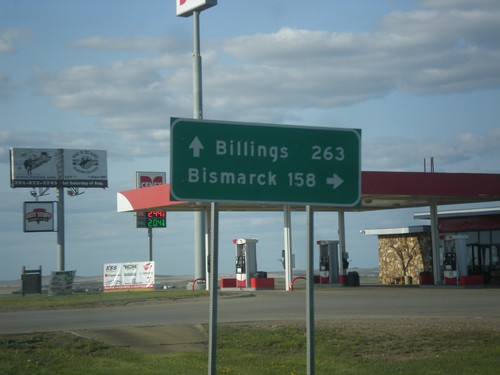
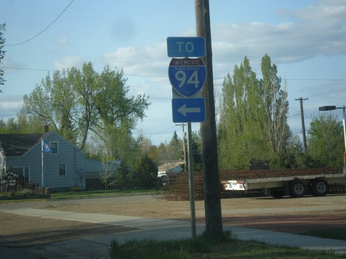
ND-16 North at I-94
ND-16 North at I-94 near Beach. Use I-94 east for Bismarck; I-94 west for Billings (Montana).
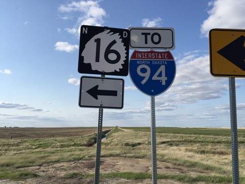
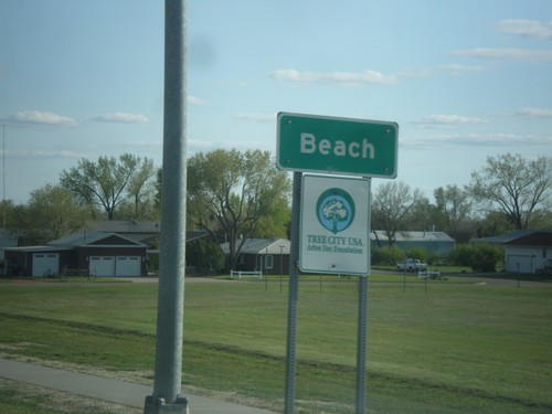
ND-16 North at Junction at 34th St SW
ND-16 North at 34th St. SW in Beach. Turn left to continue north on ND-16 and for I-94.
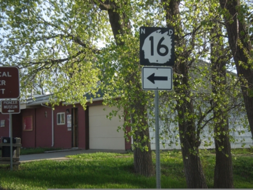
ND-16 South - 1st. Ave. NW and 4th St. NW
ND-16 south in Beach at intersection of 1st Ave NW and 4th St. NW. Turn left on 4th St. NW to continue south on ND-16.
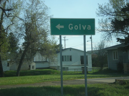
ND-16 South - Turn left for Golva
ND-16 south in Beach at intersection of 1st Ave NW and 4th St. NW. Turn left on ND-16 south (4th St. NW) to Golva.
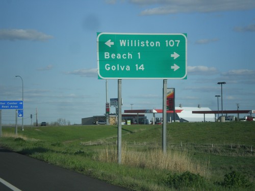
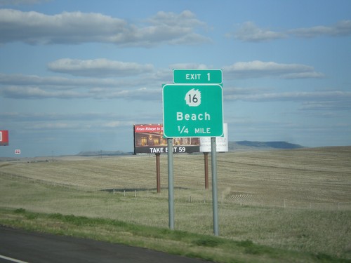
I-94 East - Exit 1 Offramp
I-94 East on Exit 1 Offramp. Turn left for ND-16 north to Williston; turn right for ND-16 south to Beach and Golva.
I-94 East - Welcome To North Dakota
Welcome to North Dakota on I-94 east. Taken at the Montana - North Dakota state line.
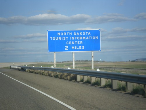
I-94 East - North Dakota Tourist Information Center
I-94 East - North Dakota Tourist Information Center. This sign is located within the state of Montana, about 0.25 miles from the state line.
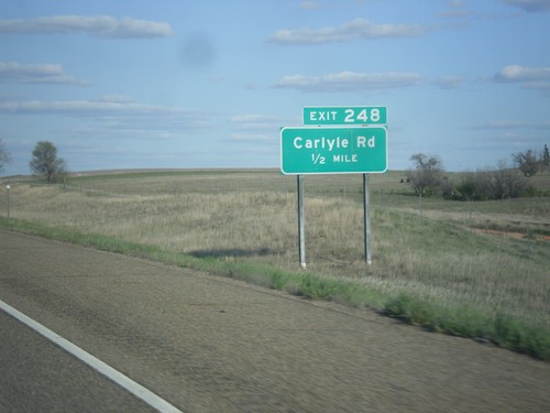
I-94 East - Exit 248
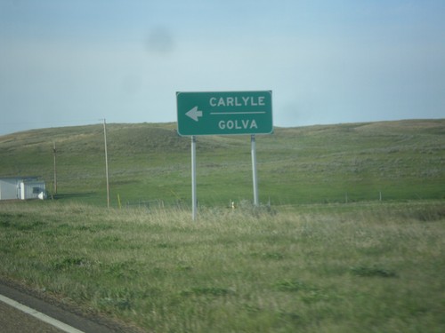
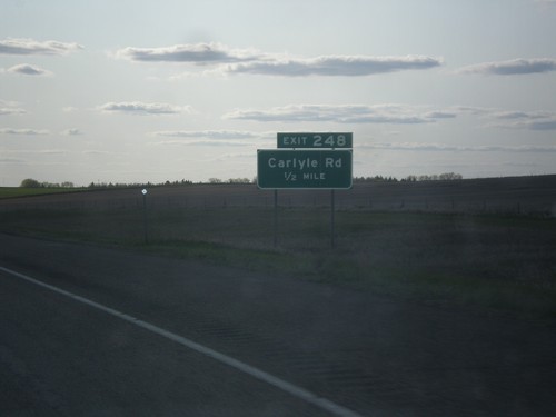
I-94 east approaching Exit 248 - Carlyle Road. This is the last exit on I-94 eastbound in Montana.

MT-7 South - Wibaux
2nd Ave. North (MT-7 south) at MT-7 south in Wibaux. Turn right to continue south on MT-7.
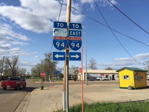
MT-7 North at 2nd Ave NW
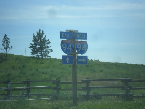
MT-7 North at 2nd Ave NW in Wibaux. Turn right for access to I-94 east; left for access to I-94 west. This is the only I-94 shield with the MONTANA text that I have seen.
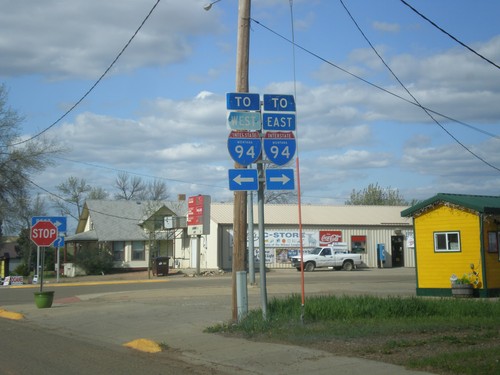
MT-7 North at 2nd Ave NW (MTS-261).
MT-7 North at 2nd Ave NW (MTS-261) in Wibaux. Turn right for access to I-94 east via MT-7 north; left for access to I-94 west via MTS-261 north. This is the only I-94 shield with the MONTANA text that I have seen.
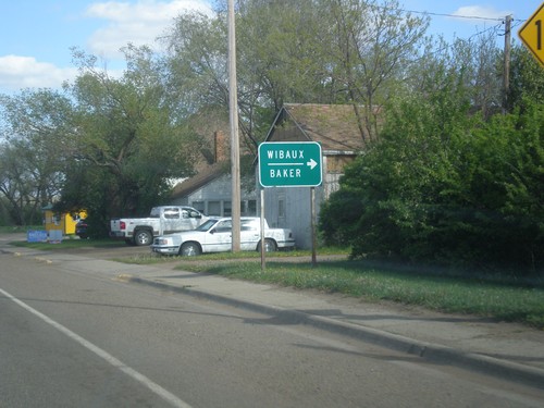
End MTS-261 South at MT-7
End MTS-261 South at MT-7 in Wibaux. Turn right on MT-7 for the Wibaux City Center and Baker.
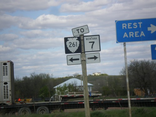
I-94 East - Exit 241 Offramp at MTS-261
I-94 East - Exit 241 offramp at MTS-261. Turn right for MTS-261 south, to MT-7, and the Wibaux Rest Area. Turn left for MTS-261 North. There is no destination city for MTS-261 north, although it parallels the Montana - North Dakota border north to near Sidney.
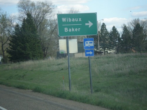
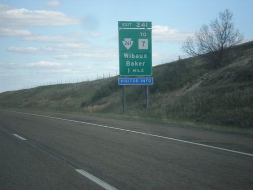
I-94 East - Exit 241 Offramp
I-94 East - Exit 241 Offramp at MTS-261/MT-7. Turn right for MT-7 to Wibaux and Baker.
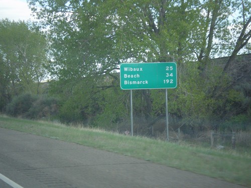
I-94 East - Distance Marker
Distance marker on I-94 east. Distance to Wibaux, Beach (ND), and Bismarck (ND).
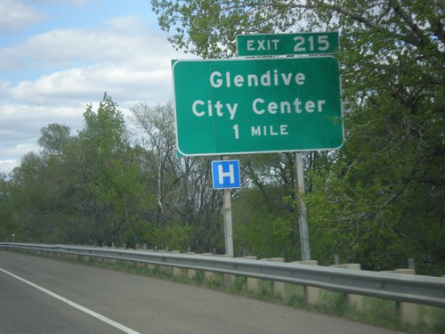
I-94 East - Exit 215
I-94 east approaching Exit 215 - Glendive City Center. This is the eastern end of the Glendive business loop.
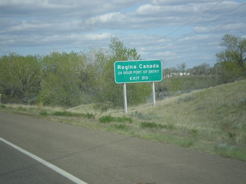
I-94 East - Use Exit 213 for Regina Canada
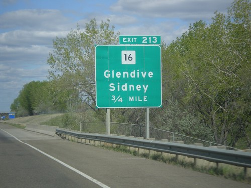
I-94 east approaching Exit 213. Use Exit 213 for Regina, Canada (via MT-16 North).
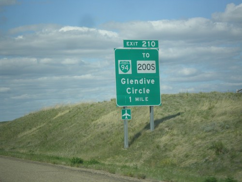
I-94 East - Exit 210
I-94 east approaching Exit 210 - BL-94/To MT-200S/Glendive/Circle. This is the western end of the Glendive business loop.
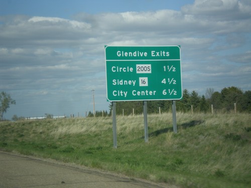
I-94 East - Glendive Exits
Glendive exits on I-94 east. MT-200S/Circle, MT-16/Sidney, and City Center.
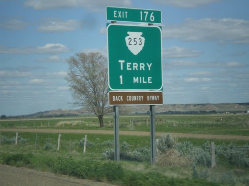
I-94 East - Exit 176
I-94 east approaching Exit 176 - MTS-253/Terry. Terry is the county seat of Prairie County.
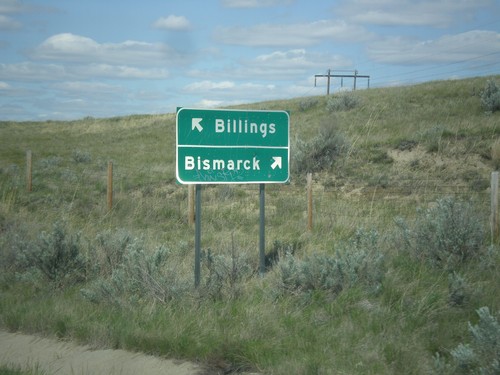
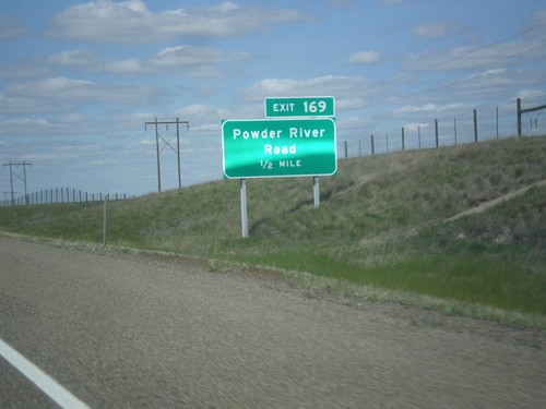
Powder River Road at I-94 (Exit 169)
Powder River Road at I-94 (Exit 169). Turn right for I-94 west to Billings; left for I-94 east to Bismarck (North Dakota).
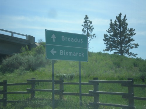
MT-59 South at I-94 East
MT-59 South at I-94 East to Bismarck (North Dakota). Continue south on MT-59 to Broadus.
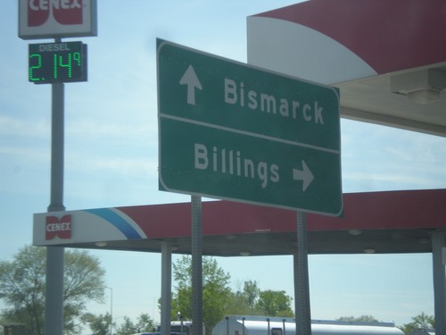
MT-59 South at I-94 West
MT-59 South at I-94 West to Billings. Continue under freeway for I-94 East to Bismarck (North Dakota).
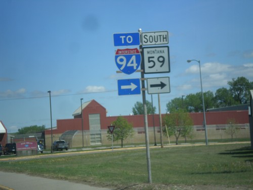
MT-59 South - Miles City
MT-59 South (Main St.) at Haynes Ave. Turn right to continue south on MT-59 and for I-94 access.
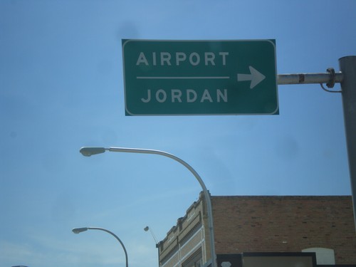
BL-94 West/MT-59 North at MT-59 North Jct.
BL-94 West/MT-59 North (Main St.) at MT-59 North(7th St.) Jct. Use MT-59 north for Airport and Jordan.
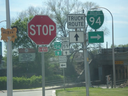
BL-94 West at MT-59 - Miles City
BL-94 West (Valley Drive) at MT-59 (Main St.) in Miles City. Turn right on Main St. to continue west on BL-94.
BL-94 West - Miles City
Entering Miles City on BL-94 west. Miles City is the county seat of Custer County, and the largest city in eastern Montana.
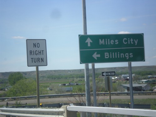
US-12 West at I-94 West and BL-94
US-12 West at I-94 West to Billings. US-12 joins I-94 westbound. Continue straight for BL-94 west to Miles City.
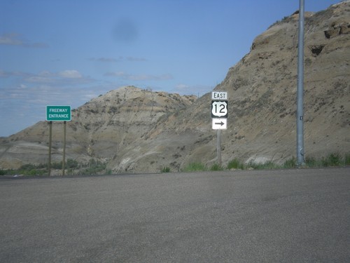
I-94 East - Exit 141 Offramp at US-12
I-94 East - Exit 141 Offramp at US-12. Turn right to continue east on US-12.
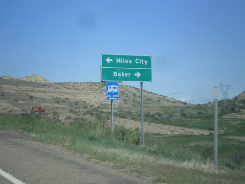
I-94 East - Exit 141 Offramp
I-94 East on Exit 141 Offramp. Turn right for US-12 east to Baker. Turn left for BL-94 West to Miles City.
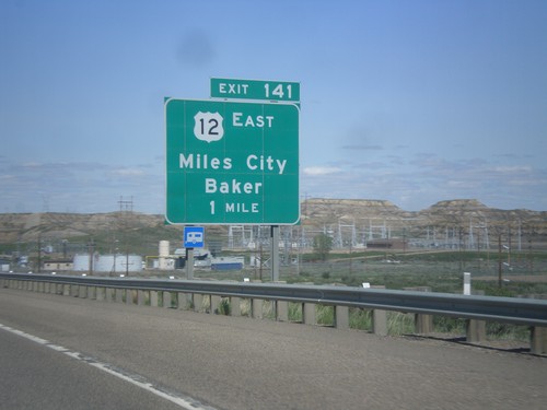
I-94 East - Exit 141
I-94 east approaching Exit 141 - US-12 East/Miles City/Baker. US-12 leaves I-94 eastbound here. This is the eastern end of the Miles City business loop.
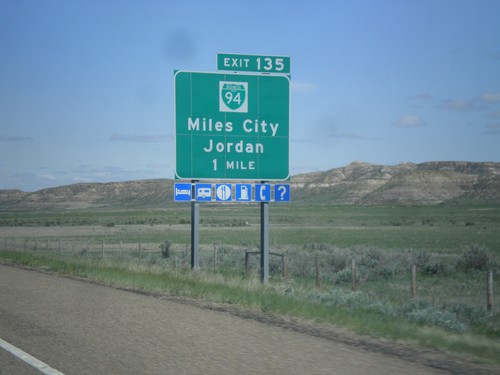
I-94 East - Exit 135
I-94 east approaching Exit 135 - BL-94/Miles City/Jordan. This is the western end of the Miles City business loop. Miles City is the county seat of Custer County and the 10th largest city in Montana.
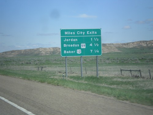
I-94 East - Miles City Exits
Miles City Exits on I-94 east. The three exits all show the destination city accessed by that exit. The first exit is to Jordan (via MT-59 north), the second exit is to Broadus (via MT-59 south), and the third exit is to Baker (via US-12 east).
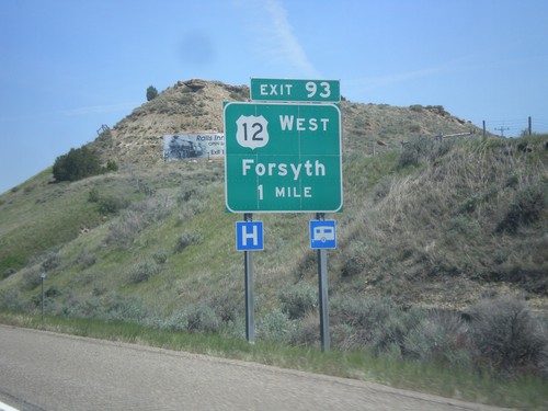
I-94 East - Exit 93
I-94 east approaching Exit 93 - US-12 West/Forsyth. US-12 east joins I-94 east to Miles City.
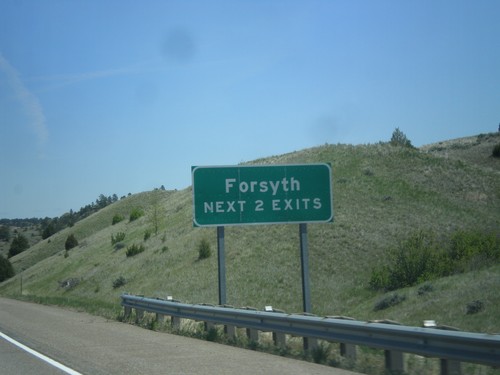
I-94 East - Forsyth Exits
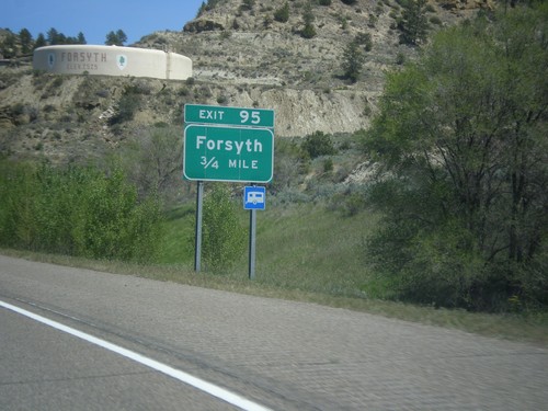
Forsyth Next 2 Exits on I-94 east. Forsyth is the county seat of Rosebud County.
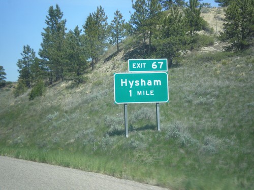
I-94 East - Exit 67
I-94 east at Exit 67 - Hysham. Hysham is the county seat of Treasure County, Montana.
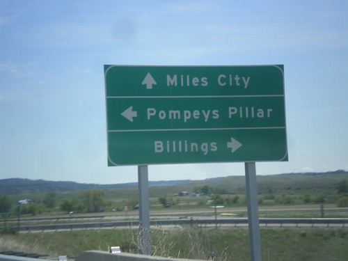
Frontage Road at I-94 (Exit 23)
Frontage Road at I-94 junction. Turn left for the community of Pompeys Pillar. Turn right for I-94 west to Billings; continue over freeway for I-94 east to Miles City.
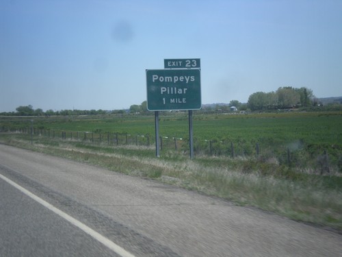
I-90 East - Exit 23
I-90 east approaching Exit 23 - Pompeys Pillar. Pompeys Pillar is a sandstone outcrop, that is special because it has a signature of William Clark, from the Lewis and Clark expedition engraved in it. William Clark named Pompeys Pillar after Sacagawea’s infant son Jean Baptiste, whom Clark had nicknamed Pompey.
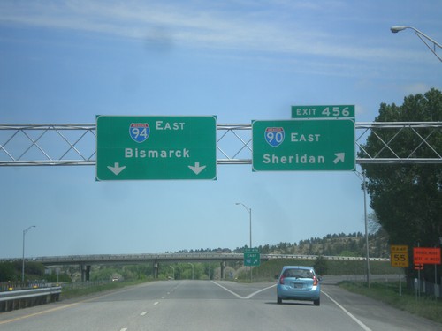
I-90 East - Exit 456 - I-94 Jct.
I-90 east at Exit 456 - I-94 East/Bismarck (North Dakota). Merge right to continue east on I-90 to Sheridan (Wyoming). This is the beginning of I-94. The eastern end of I-94 is the Canadian border at Port Huron, Michigan.
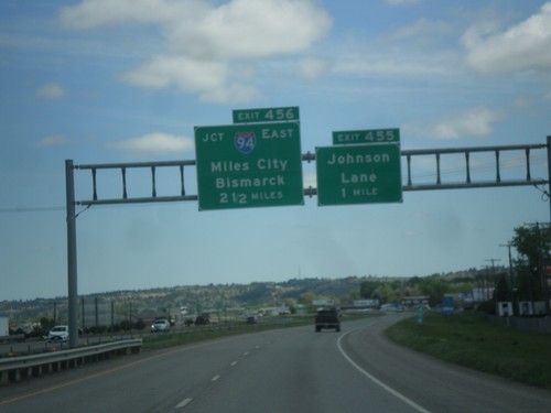
I-90 East - Exits 455 and 456
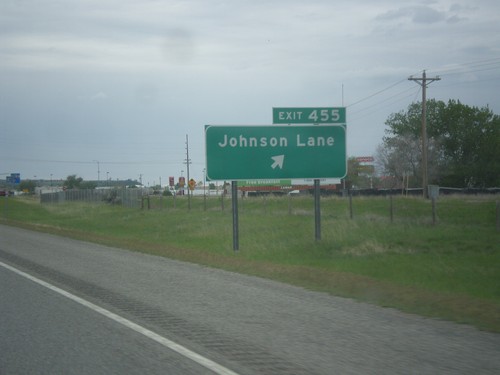
I-90 east approaching Exit 455 - Johnson Lane, 1 mile. Approaching Exit 456 - I-94 East/Miles City/Bismarck (North Dakota).
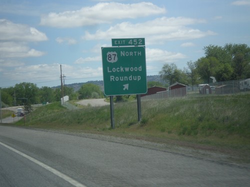
I-90 East - Exit 452
I-90 east at Exit 452 - US-87 North/Lockwood/Roundup. US-87 south joins I-90 east to Sheridan, Wyoming. This is the eastern end of the Billings business loop.
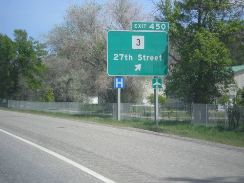
I-90 East - Exit 450
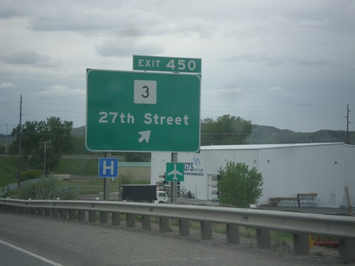
I-90 east at Exit 450 - MT-3/27th St. MT-3 connects Billings with Great Falls, Montana.
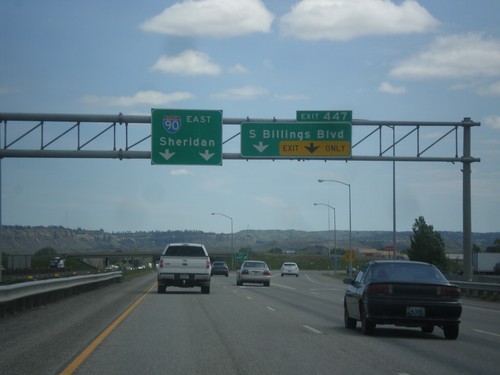
I-90 East - Exit 447
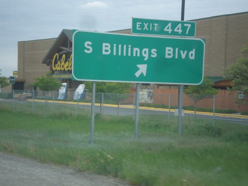
I-90 east at Exit 447 - South Billings Blvd. Continue east on I-90 to Sheridan (Wyoming).
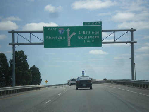
I-90 East - Exit 447
I-90 east approaching Exit 447 - S. Billings Blvd. Continue east on I-90 for Sheridan (Wyoming).
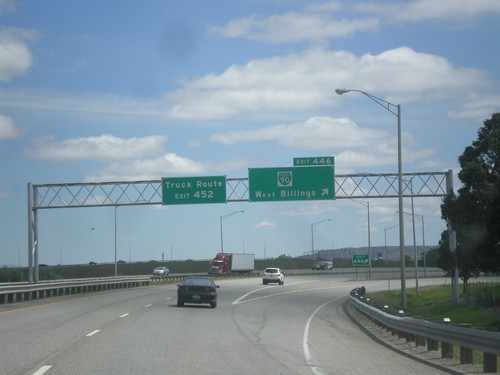
I-90 East Exit 446
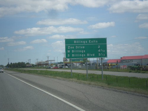
I-90 east at Exit 446 - BL-90/West Billings. For the Billings Truck Route, use Exit 452.
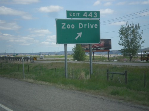
I-90 East - Exit 443
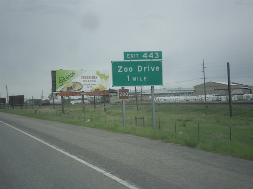
I-90 east at Exit 443 - Zoo Drive. This is the western most exit along I-90 to the Billings area.
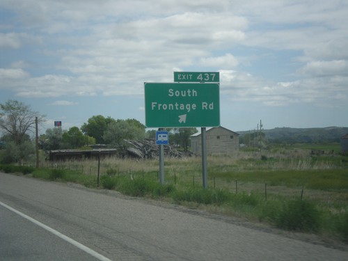
I-90 East - Exit 437
I-90 east at Exit 437 - South Frontage Road. This is the eastern end of the Laurel business loop.
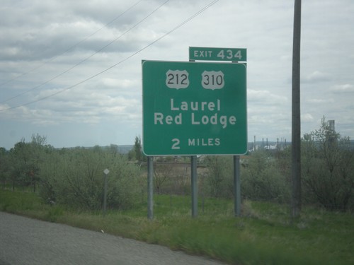
I-90 East - Exit 434
I-90 east approaching Exit 434 - US-310/US-212/Red Lodge/Laurel. This is the northern terminus of US-310, which beings near Greybull, Wyoming. US-212 joins I-90 east to Crow Agency.
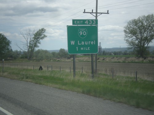
I-90 East - Exit 433
I-90 east approaching Exit 433 - BL-90/Laurel. This is the west end of the Laurel business loop.
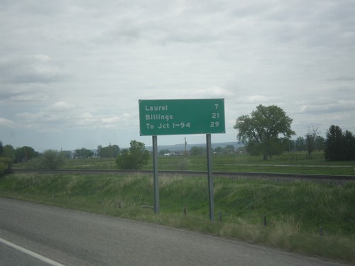
I-90 East - Distance Marker
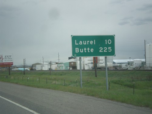
Distance marker on I-90 east. Distance to Laurel, Billings, and To Jct. I-94.
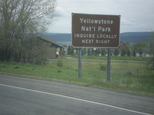
I-90 East - Exit 408 - Yellowstone Park
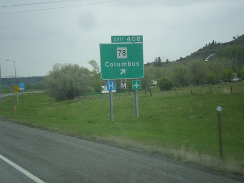
I-90 East approaching Exit 408. Yellowstone Park access via Exit 408, inquire locally. The route to Yellowstone Park through Columbus, Montana is to take MT-78 south to Red Lodge, thence US-212 west over Beartooth Pass to the northeast entrance to the park. Beartooth Pass typically does not open until June, and closes early in the season.
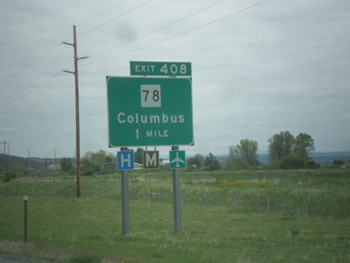
I-90 East - Exit 408
I-90 east approaching Exit 408 - MT-78/Columbus. Columbus is the county seat of Stillwater County.
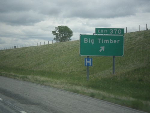
I-90 East - Exit 370
I-90 east at Exit 370 - Big Timber. This is the eastern end of the Big Timber business loop.
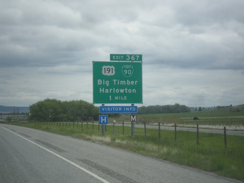
I-90 East - Exit 357
I-90 east approaching Exit 357 - BL-90/US-191 North/Big Timber/Harlowton. US-191 north leaves I-90 eastbound here. Westbound US-191 South joins I-90 to Bozeman.
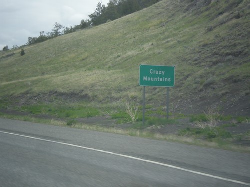
I-90 East - Crazy Mountains
Sign for Crazy Mountains, which are to the north side of the highway along I-90 east.
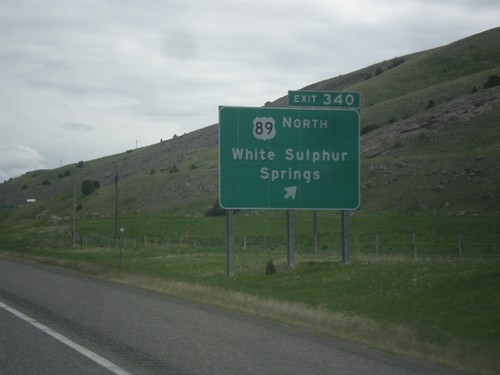
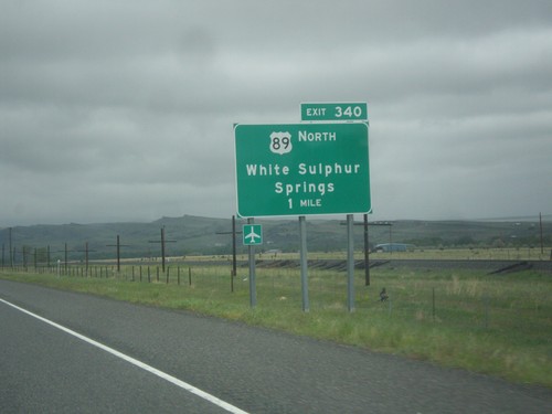
I-90 East - Exit 340
I-90 east at Exit 340 - US-89 North/White Sulphur Springs. US-89 leaves I-90/US-191 here.
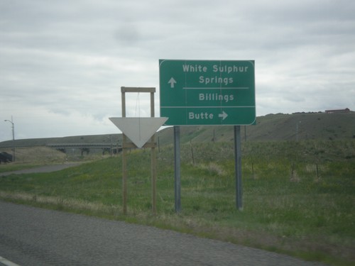
End BL-90 East at I-90 (Exit 337)
End BL-90 East at I-90 (Exit 337). Use I-90 West to Butte. Use I-90 East to Billings and White Sulphur Springs (via US-89 north).
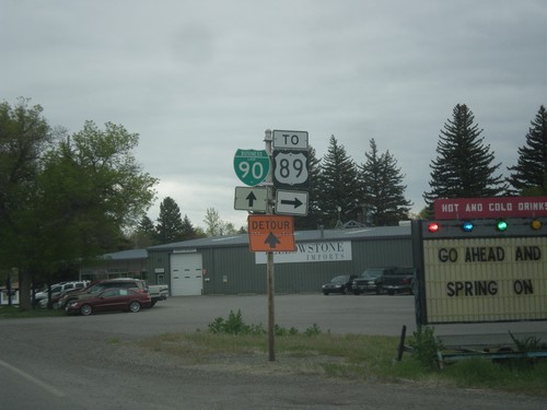
BL-90 East at Park St.
BL-90 east at Park St. in Livingston. Turn right for US-89 south; continue straight for downtown Livingston and BL-90 east.
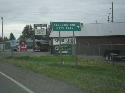
BL-90 East Approaching Park St.
BL-90 East Approaching Park St. Use Park St. south for US-89 south and Yellowstone National Park (via US-89).
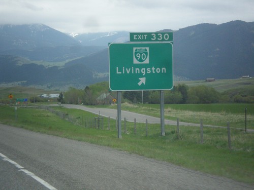
I-90 East - Exit 330
I-90 East at Exit 330 - BL-90/Livingston. This is the west end of the Livingston business loop.
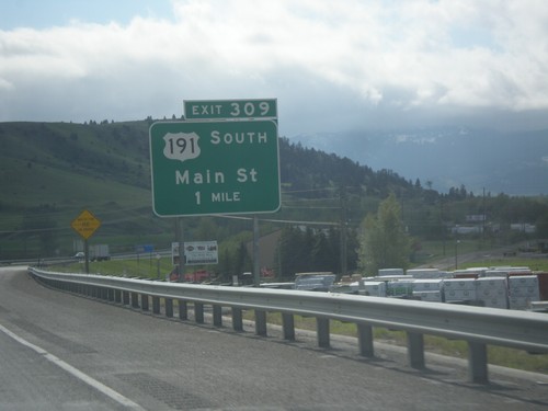
I-90 East - Exit 309
I-90 east approaching Exit 309 - US-191 South/Main St. This is the eastern end of the Bozeman business loop. US-191 joins I-90 eastbound to Big Timber.
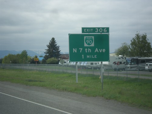
I-90 East - Exit 306
I-90 east approaching Exit 306 - BL-90/N. 7th Ave. This is the western end of the Bozeman business loop.
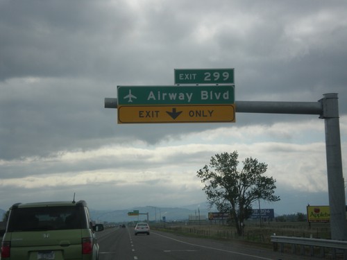
I-90 East - Exit 299
I-90 east approaching Exit 299 - Airway Blvd. in Belgrade. Use Exit 299 for access to Bozeman Yellowstone International Airport. This interchange was opened in 2016.
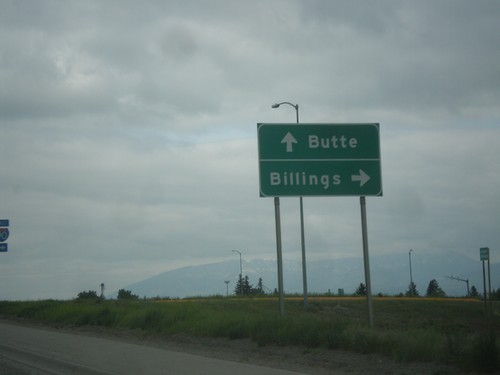
MT-85 North at I-90
MT-85 north at I-90 in Belgrade. Turn right for I-90 east to Billings; continue over freeway for I-90 west to Butte.
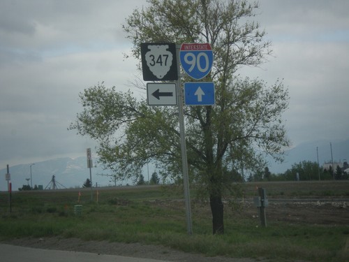
MT-85 North at MTS-345. Approaching I-90 (Exit 298)
MT-85 North at MTS-345 (Amsterdam Road), approaching I-90 in Belgrade.
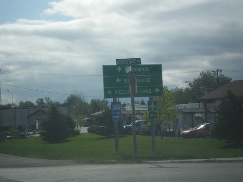
End MT-84 East at US-191/MT-85
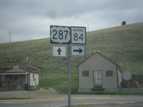
End MT-84 East at US-191/MT-85 at Four Corners. Turn left for US-191 south to West Yellowstone. Continue straight ahead for US-191 north to Bozeman. Turn left on MT-85 north to Belgrade.
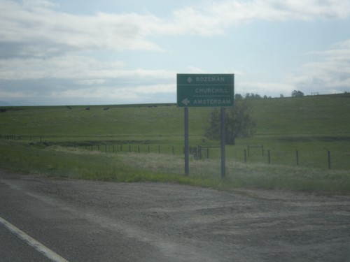
MT-84 East at MTS-288 North
MT-84 East at MTS-288 North to Churchill and Manhattan. Continue east on MT-84 to Bozeman.
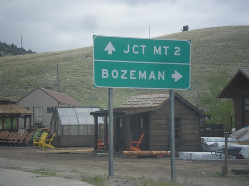
US-287 North Approaching MT-84
US-287 North approaching MT-84. Turn right on MT-84 east to Bozeman. Continue north on US-287 to MT-2 Jct.
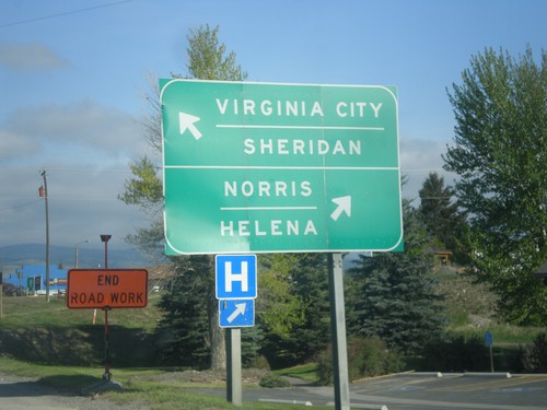
US-287 North at MT-287
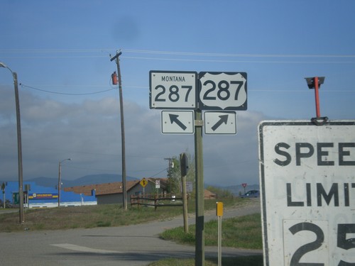
US-287 North at MT-287 in Ennis. Merge left on MT-287 for Virginia City and Sheridan. Merge right to continue north on US-287 for Norris and Helena.
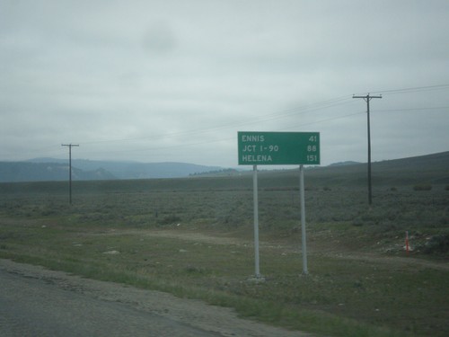
US-287 North - Distance Marker
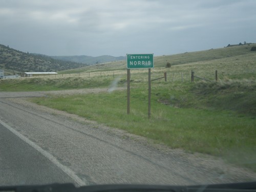
Distance Marker on US-287 north. Distance to Ennis, Jct. I-90, and Helena.
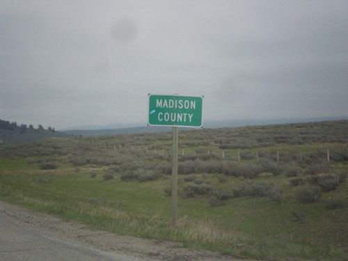
MT-87 North - Madison County
Madison County on MT-87 north at the Montana-Idaho state line. The stateline is on Raynolds Pass which is on the continental divide.
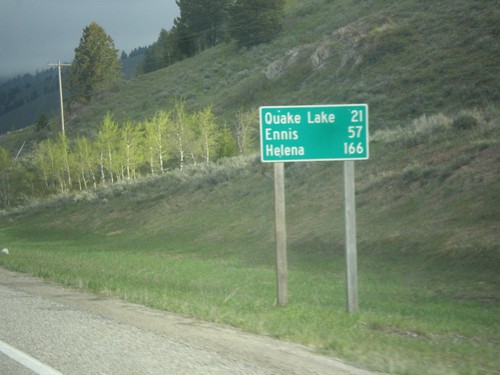
ID-87 North - Distance Marker
Distance marker on ID-87 north. Distance to Quake Lake, Ennis, and Helena. All three of these destinations are in Montana. ID-87 is a short state highway that follows the east shore of Henrys Lake, before climbing to the Continental Divide at Raynolds Pass on the Idaho-Montana line.
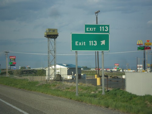
I-15 North - Exit 113
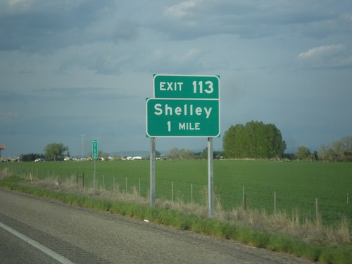
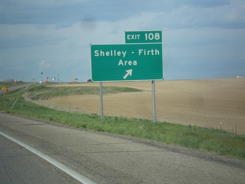
I-15 north at Exit 113 - Exit 113. This is the only instance of an interchange in Idaho with simply the name of its exit. The advanced signage at this interchange is Shelley, and same as the southbound exit name. This sign has been in place since BL-15 and US-26 was routed to the newer Exit 116 interchange.
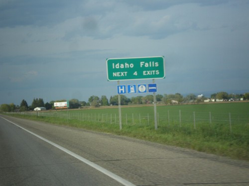
I-15 North - Idaho Falls Exits
Idaho Falls - Next 4 Exits on I-15 north. Idaho Falls is the 4th biggest city in Idaho behind Boise, Nampa, and Meridian and the biggest city outside of the Boise Metropolitan area.
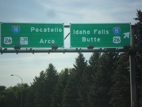
End BL-15 North at I-15/US-26/ID-39 Junction
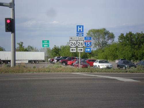
End BL-15 North at I-15/US-26/ID-39 Junction in Blackfoot. Turn right for I-15 North/US-26 East to Idaho Falls and Butte (Montana). Continue under freeway for I-15 south to Pocatello, and for US-26/ID-39 to Arco. This is the northern end of the Blackfoot business loop.
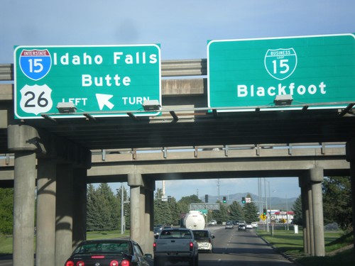
US-26 East at I-15 North and BL-15
US-26 East at I-15 North and BL-15 in Blackfoot. Use I-15 North/US-26 East to Idaho Falls and Butte (Montana). Continue straight for BL-15 to Blackfoot city center.
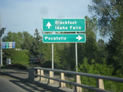
US-26 East at I-15 South
US-26 East at I-15 South in Blackfoot. Use I-15 south for Pocatello. Continue straight for Blackfoot and I-15 north to Idaho Falls.
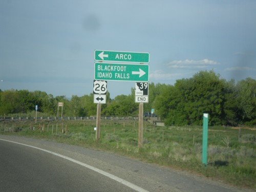
End ID-39 North Approaching US-26
End ID-39 north approaching US-26 in Blackfoot. Turn left for US-26 west to Arco; turn right for US-26 east to Blackfoot and Idaho Falls.
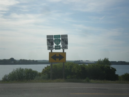
BL-86 East (Idaho St.) at ID-39
BL-86 East (Idaho St.) at ID-39. Turn right to continue east on BL-86 East and for ID-39 south. Turn left for ID-39 north. American Falls Reservoir is in the background of the view.
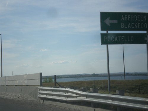
BL-86 East (Idaho St.) at ID-39
BL-86 East (Idaho St.) at ID-39 in American Falls. Turn right for BL-86 East/ID-39 south to Pocatello. Turn left for ID-39 north to Aberdeen and Blackfoot.
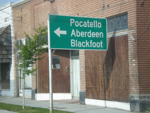
BL-86 East (Fort Hall Ave.) at Idaho St.
BL-86 East (Fort Hall Ave.) at Idaho St. Turn left on Idaho St. to continue east on BL-86 to Pocatello, Blackfoot, and Aberdeen (via ID-39)
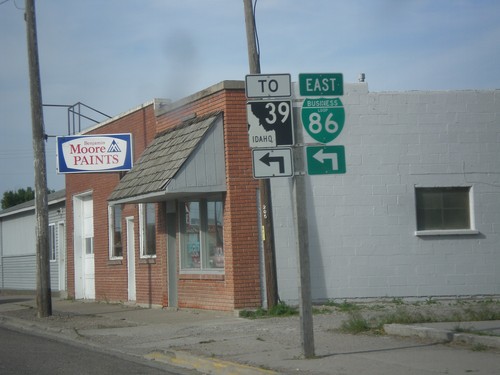
BL-86 East (Fort Hall Ave.) at Idaho St.
BL-86 East (Fort Hall Ave.) at Idaho St in American Falls. Turn left on Idaho St. to continue east on BL-86 and for ID-39 junction.
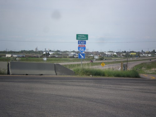
I-86 East - Freeway Entrance
Freeway Entrance on I-86 east. This style sign assembly for freeway entrances is not very common in Idaho. Also, note that the I-86 shield has the text IDAHO in it, which is also pretty rare. Most of the interstate shields that have the text IDAHO in them are older. This sign appears to be newer.
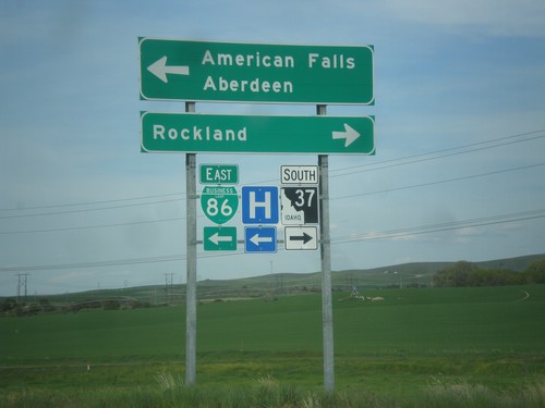
I-86 Exit 36 Offramp at BL-86/ID-37
I-86 Exit 36 offramp at BL-86/ID-37. Turn right on ID-37 south for Rockland. Turn left for BL-86 East to American Falls and Aberdeen (via ID-39). This is the west end of the American Falls business loop.
